
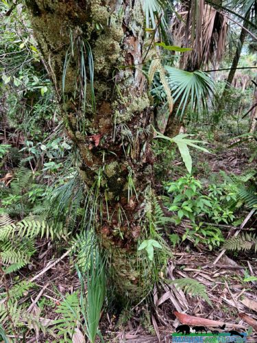
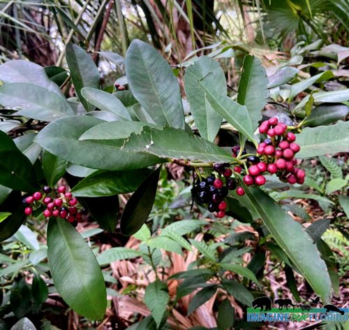
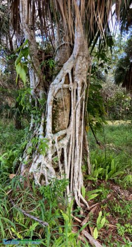
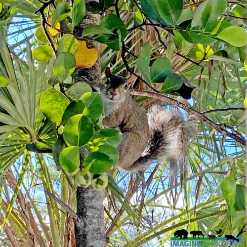
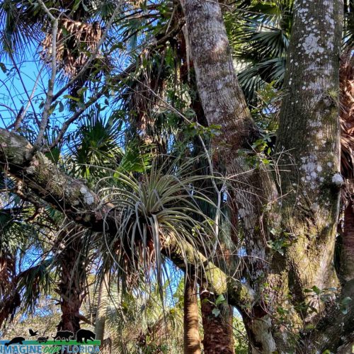
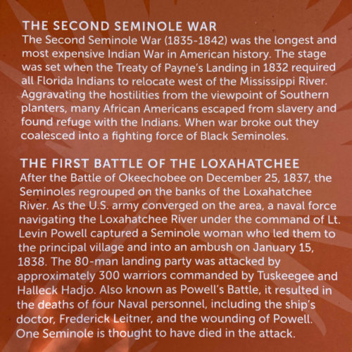
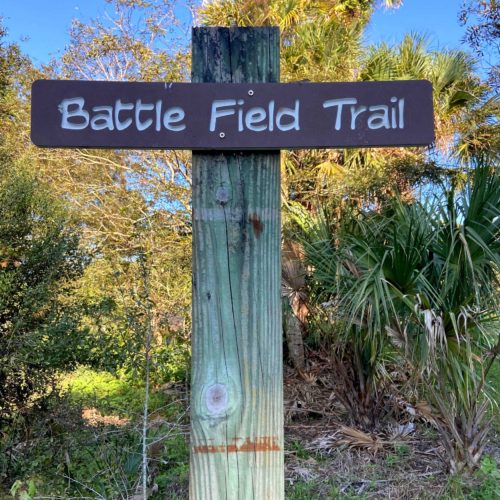
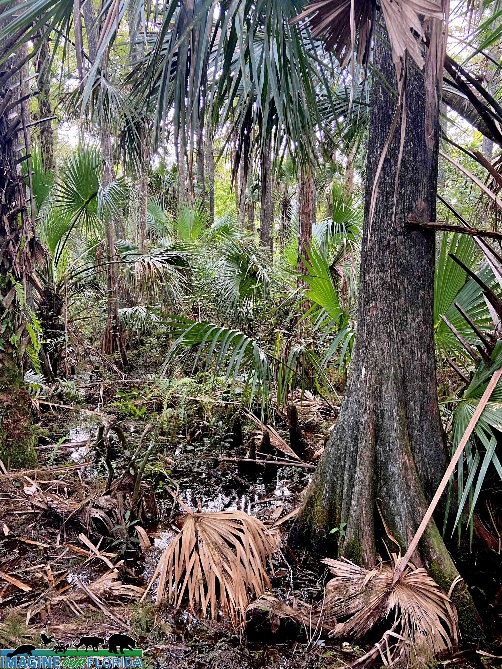
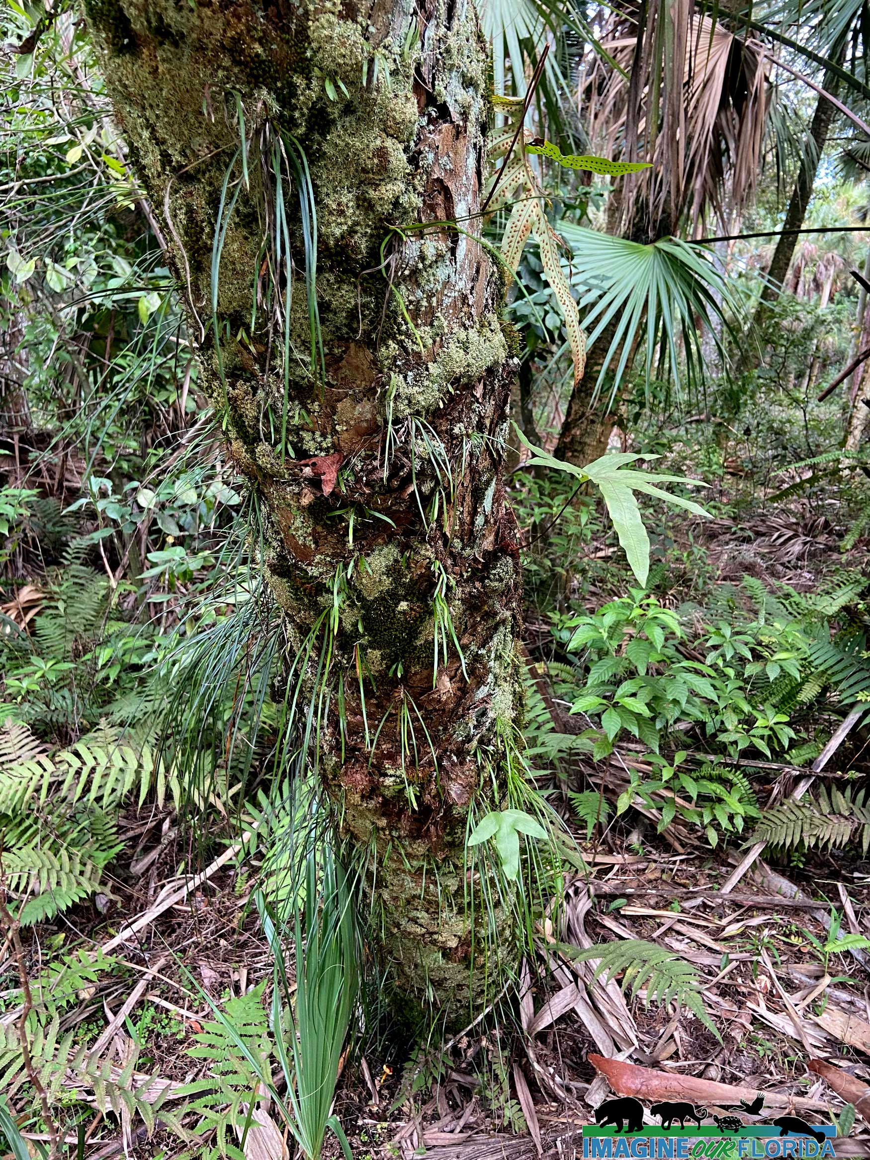
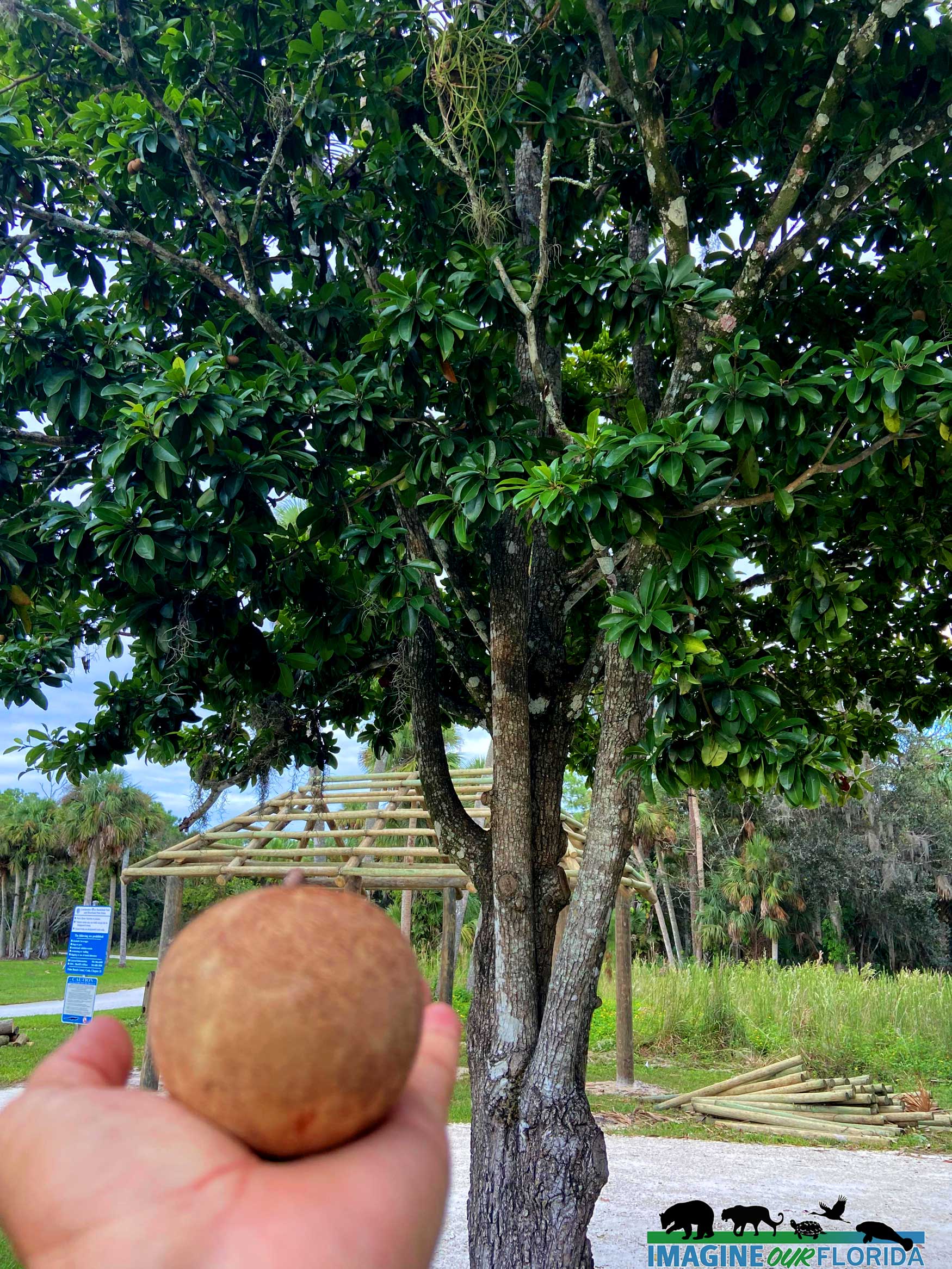
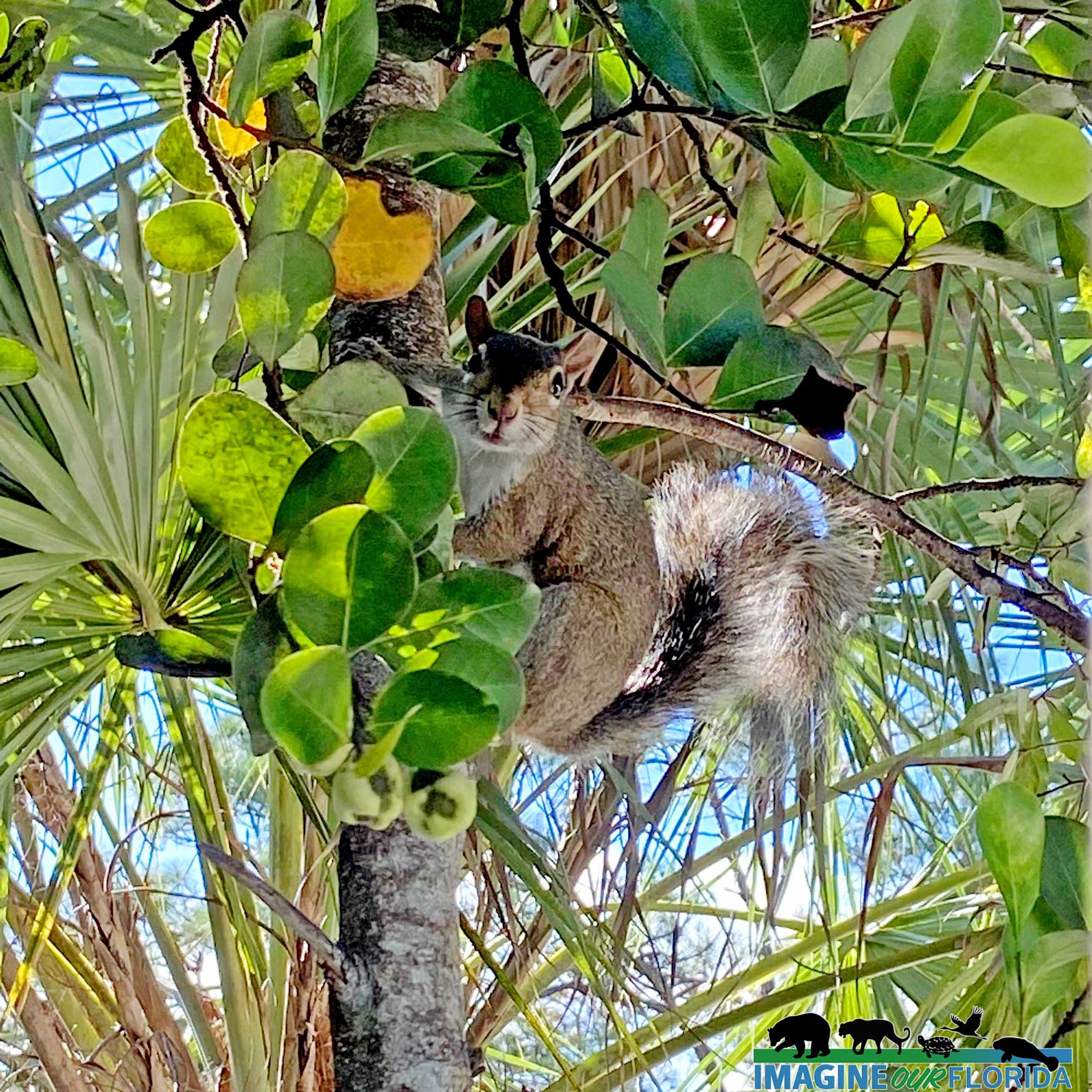
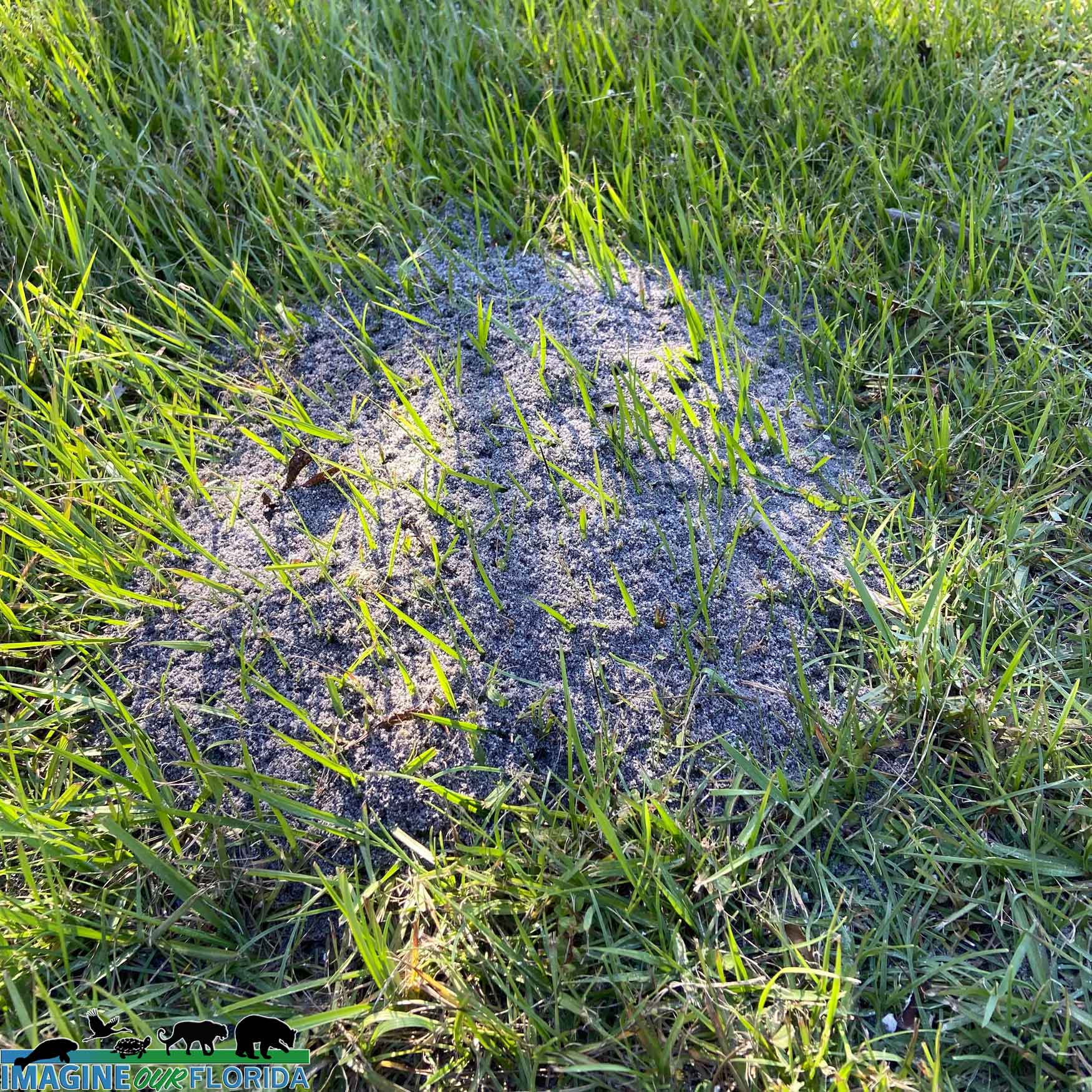
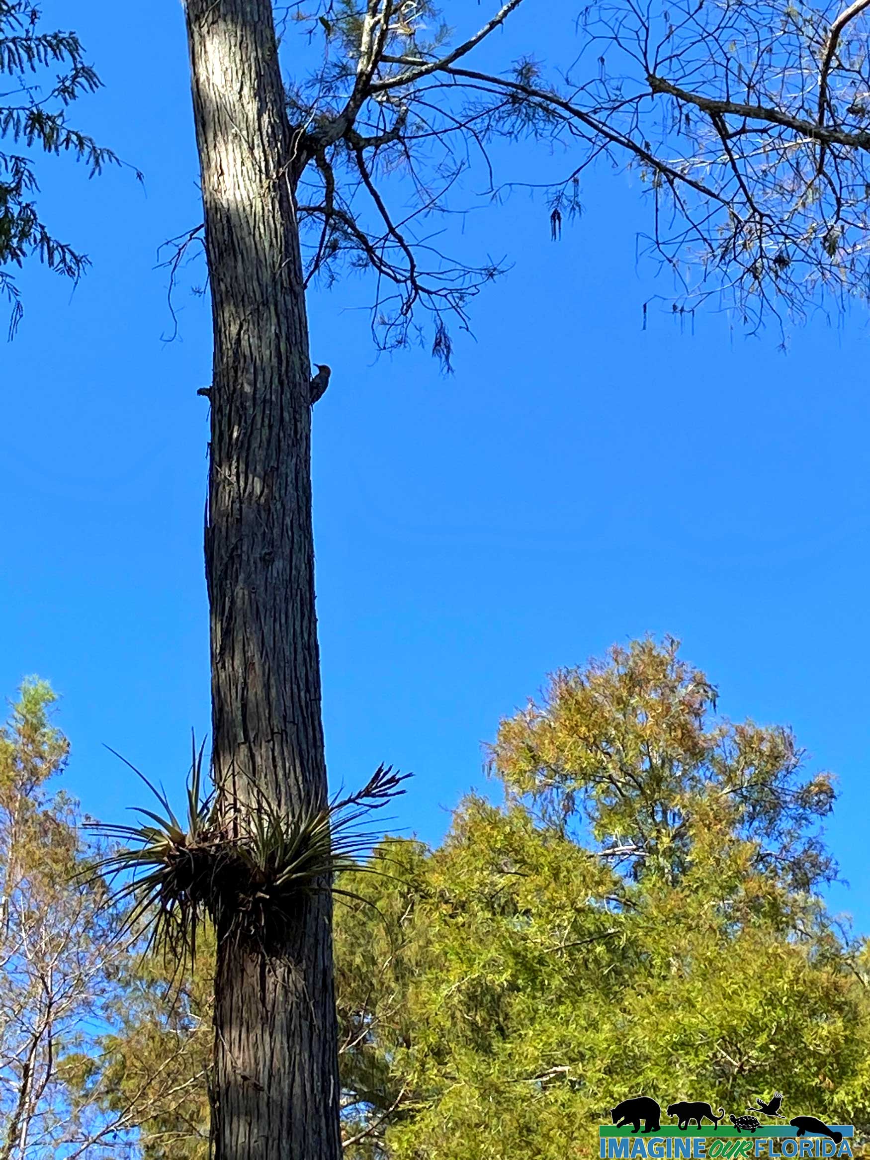
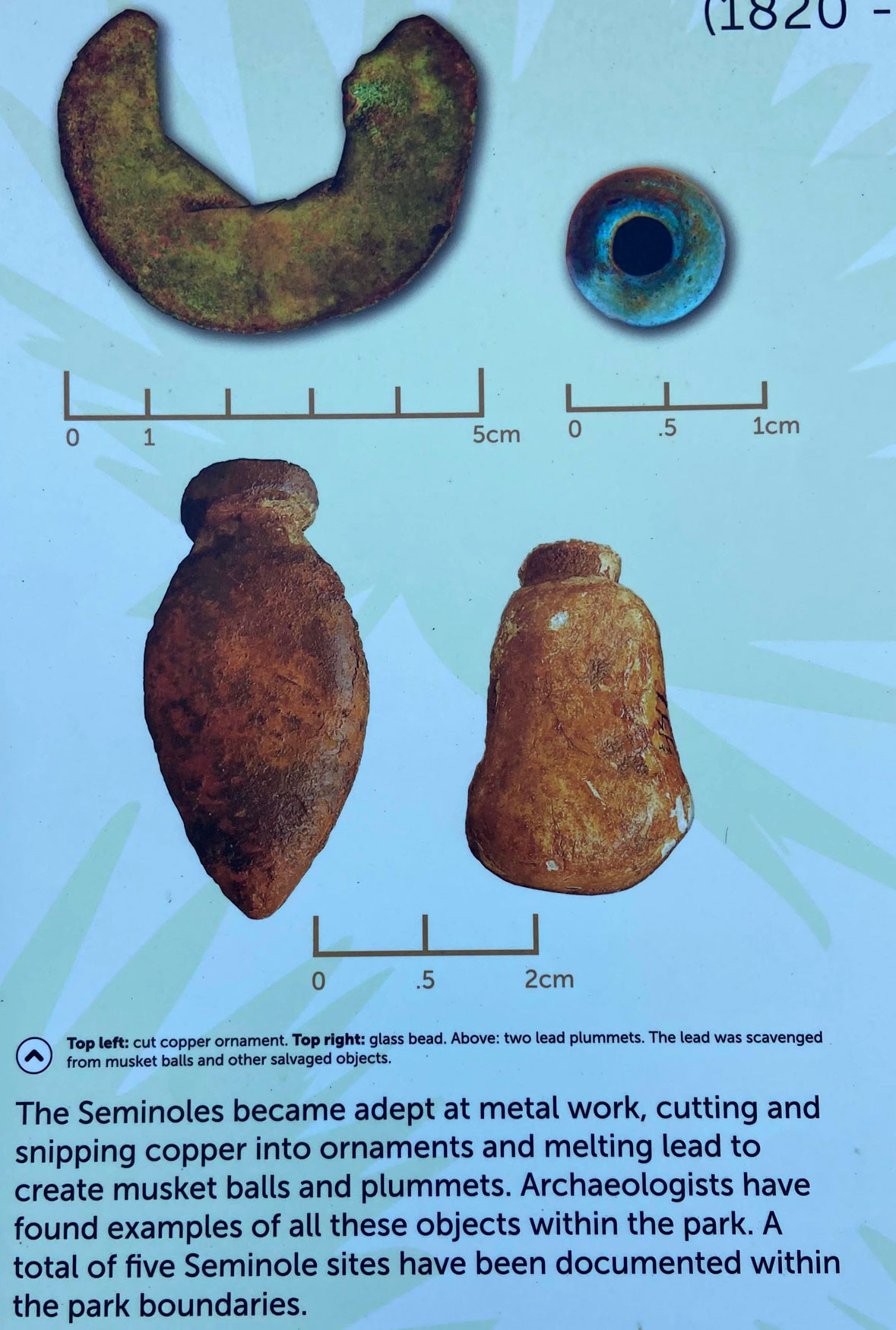
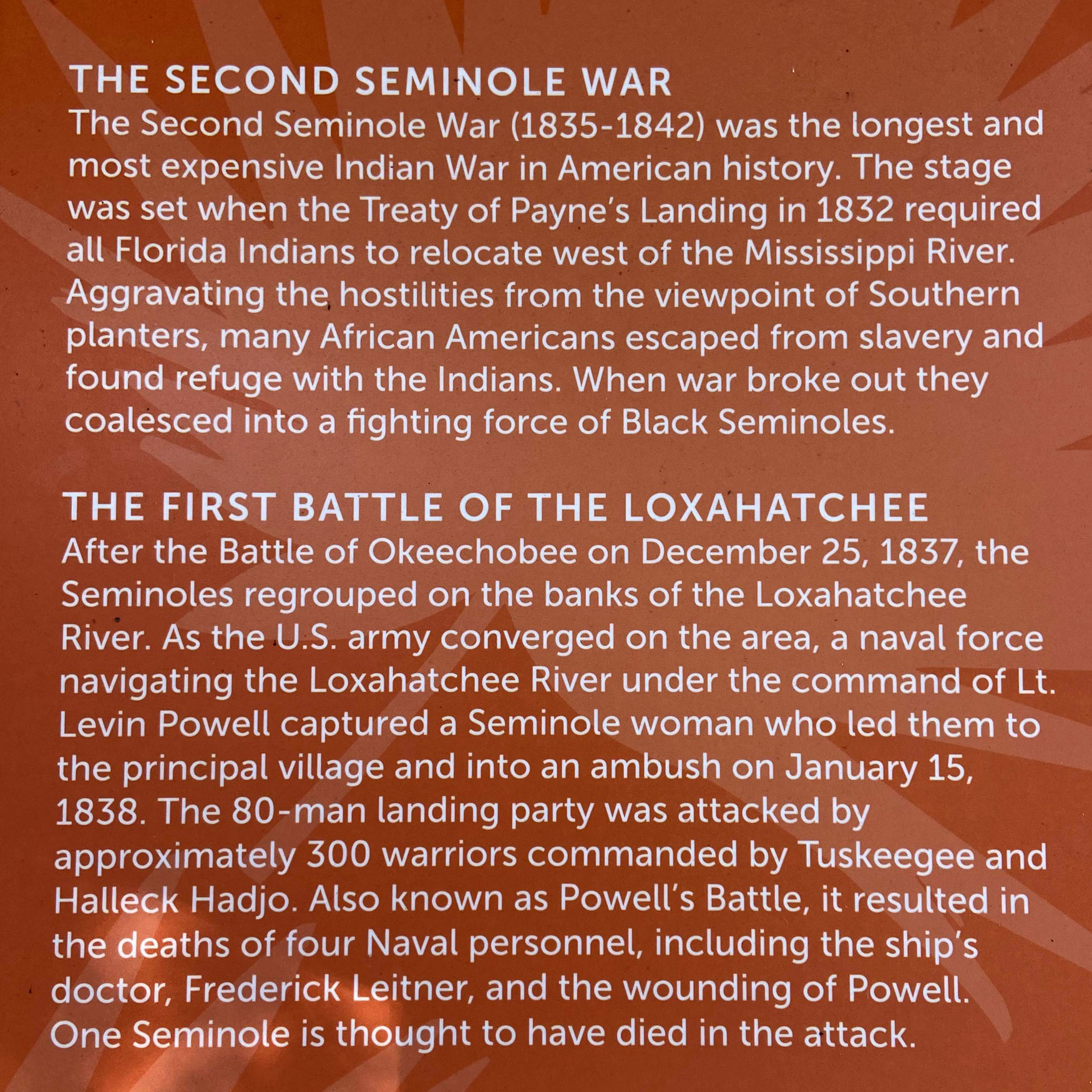
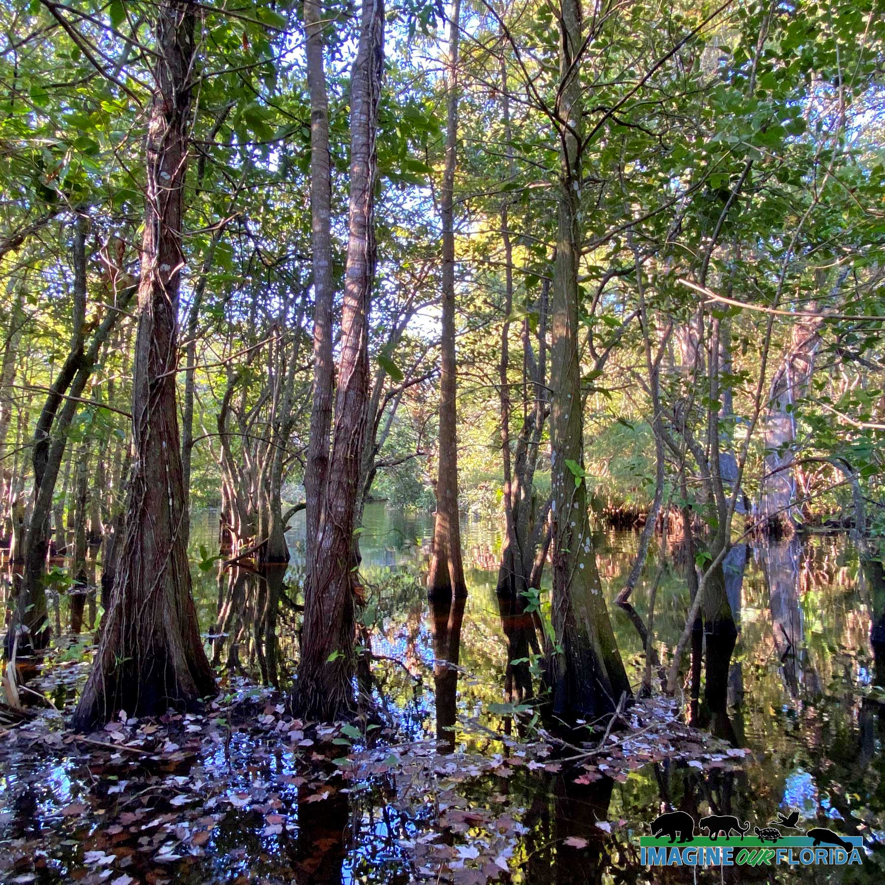
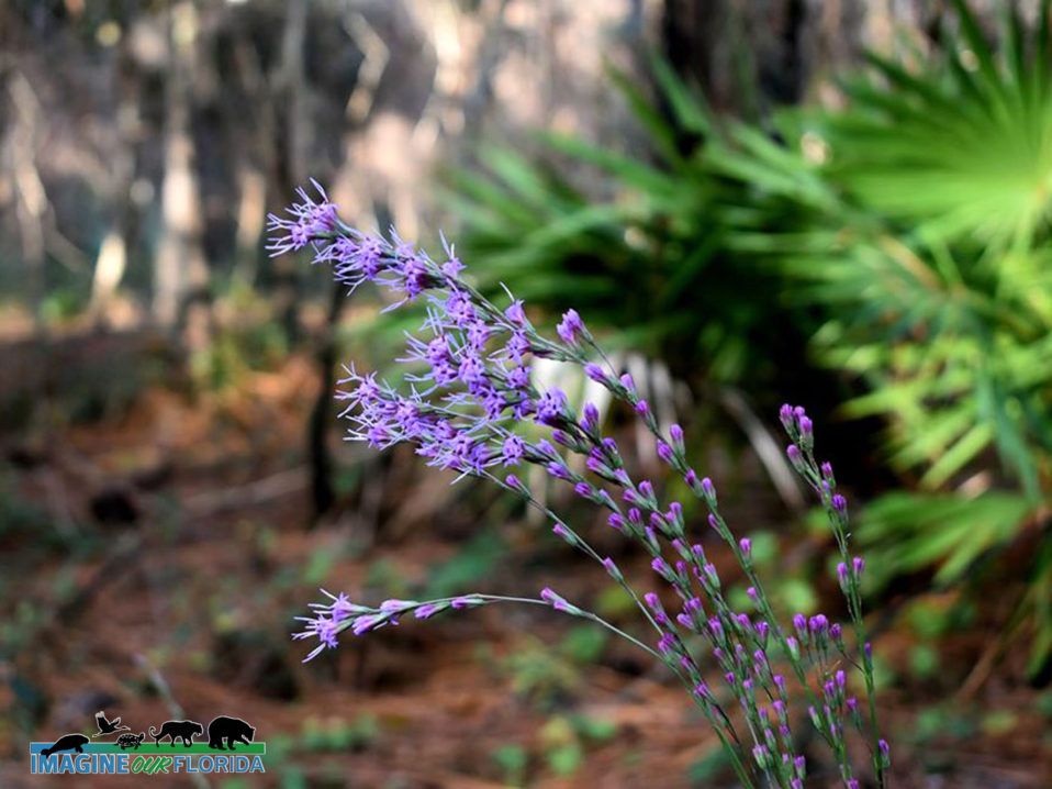
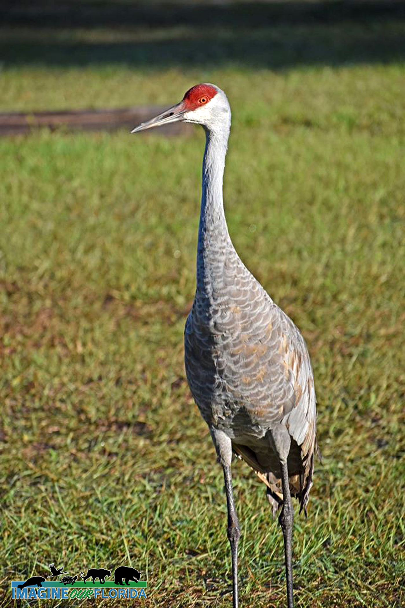
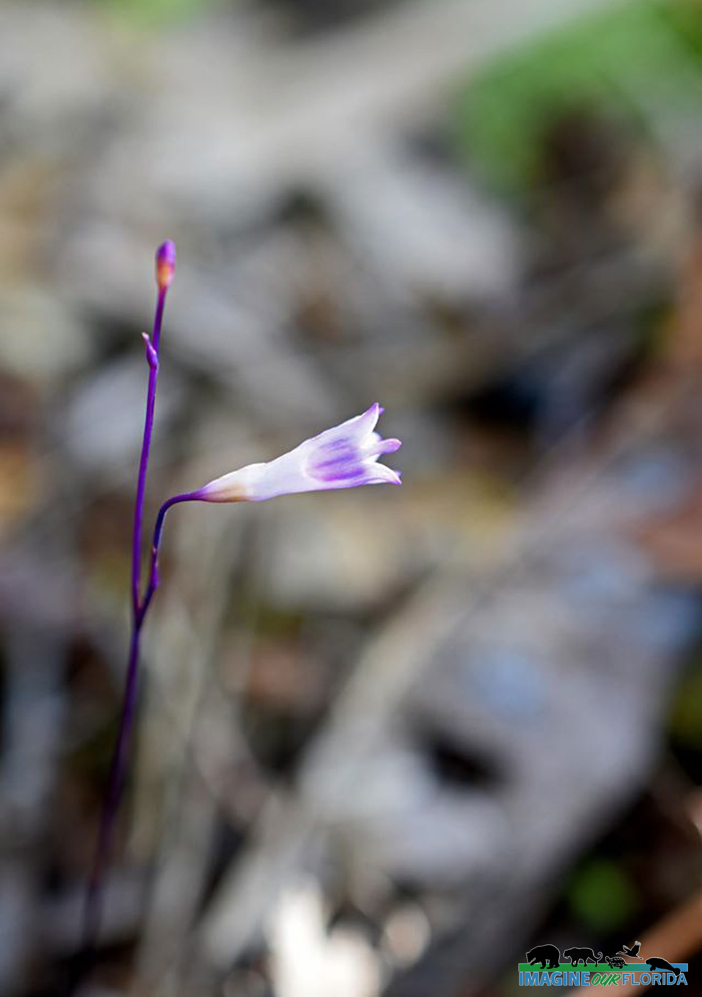
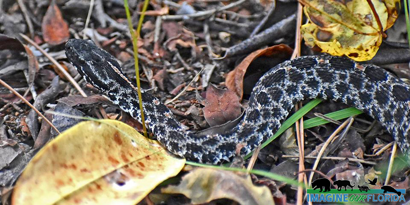
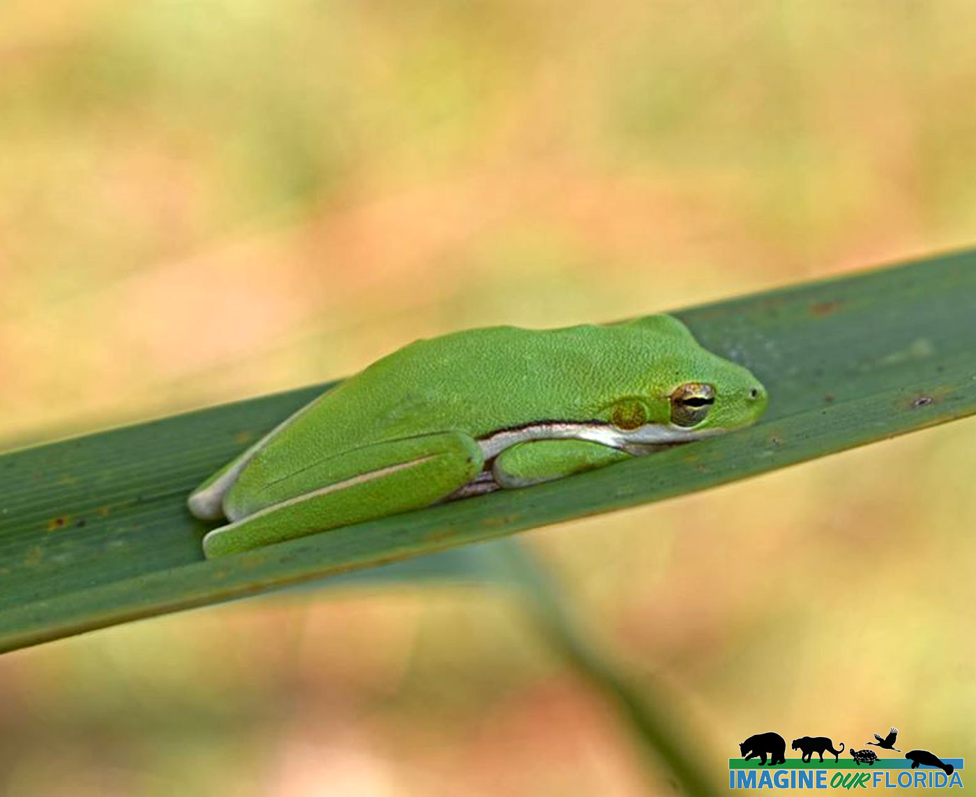
Located in northern Palm Beach County and adjacent to the 665 acres of Riverbend Park, Loxahatchee River Battlefield Park is 61 acres of beautiful, natural, and historic Florida. Both parks are full of fantastic outdoor activities for everyone. The parks have a general appearance and upkeep similar to the level of national parks. This site includes not just one but two of the significant battles that occurred in 1838 during the Second Seminole War: Powell’s Battle – January 15, 1838 and Jesup’s Battle – January 24, 1838. Thanks to current preservation efforts, you also get to see Florida as the first settlers did.
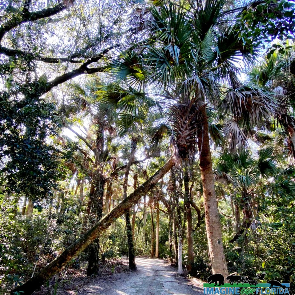
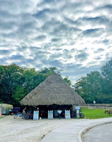
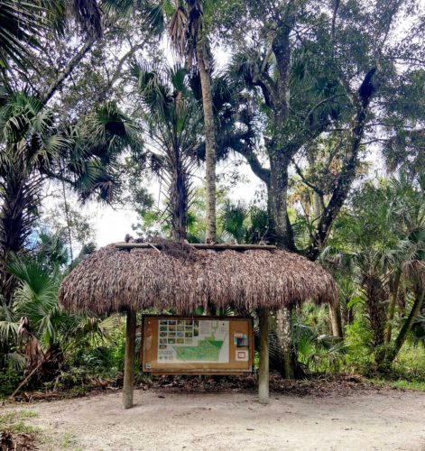
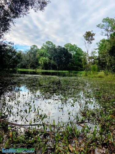
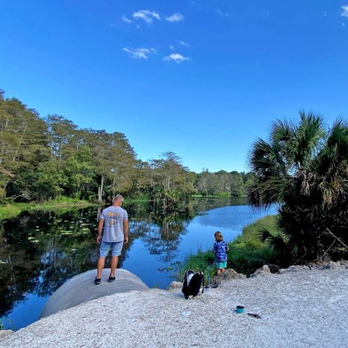
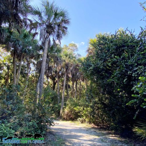
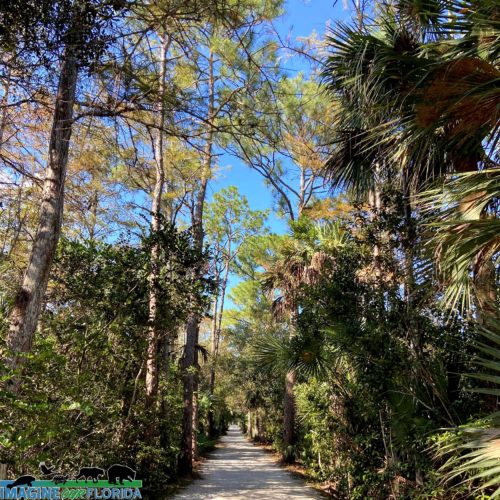
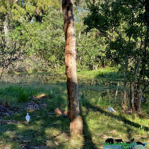
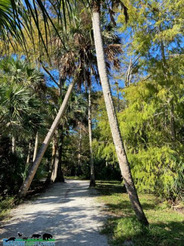
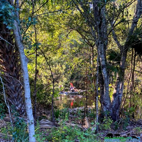
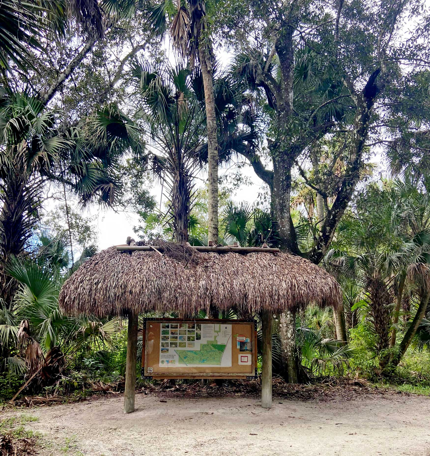
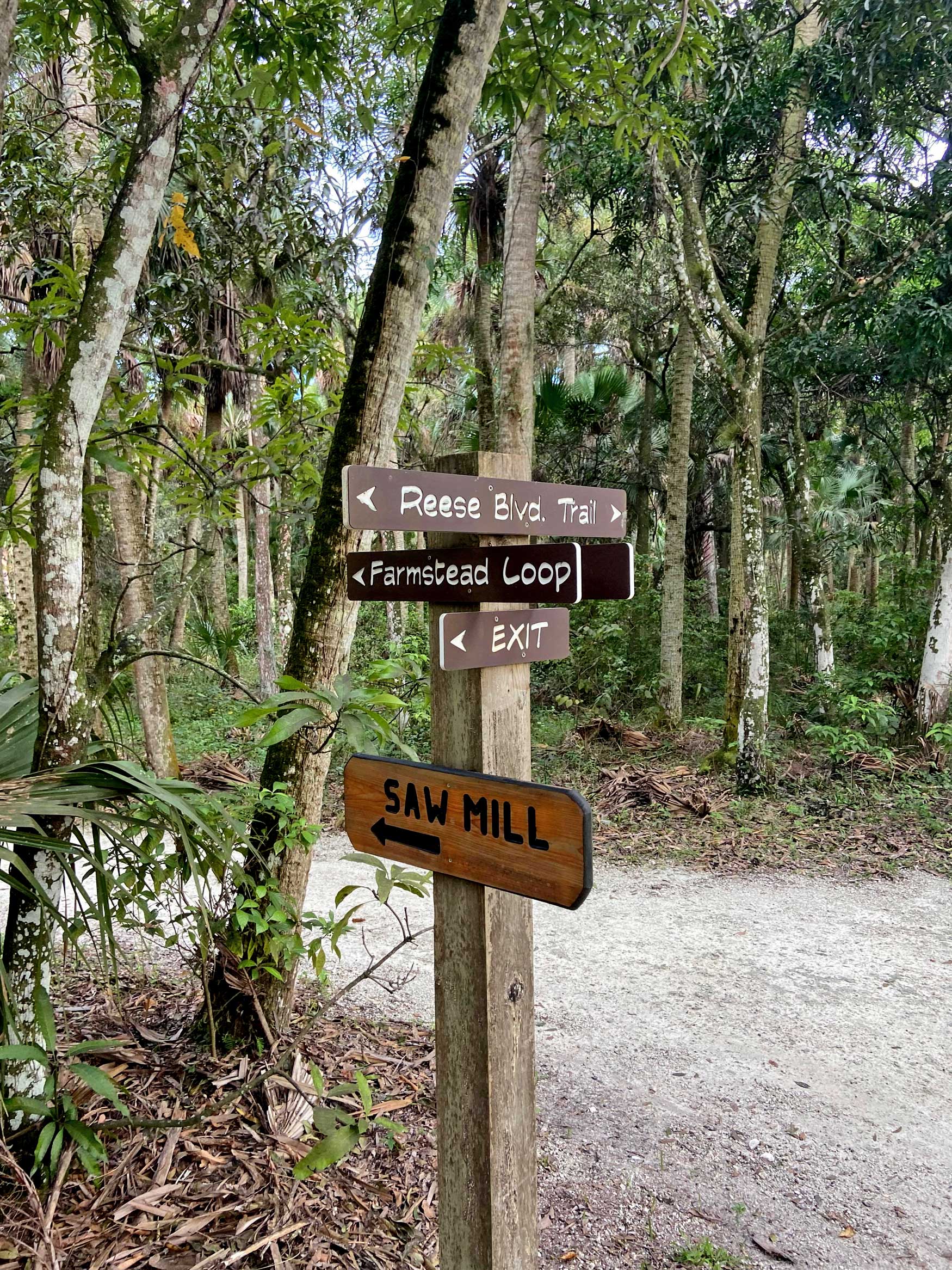
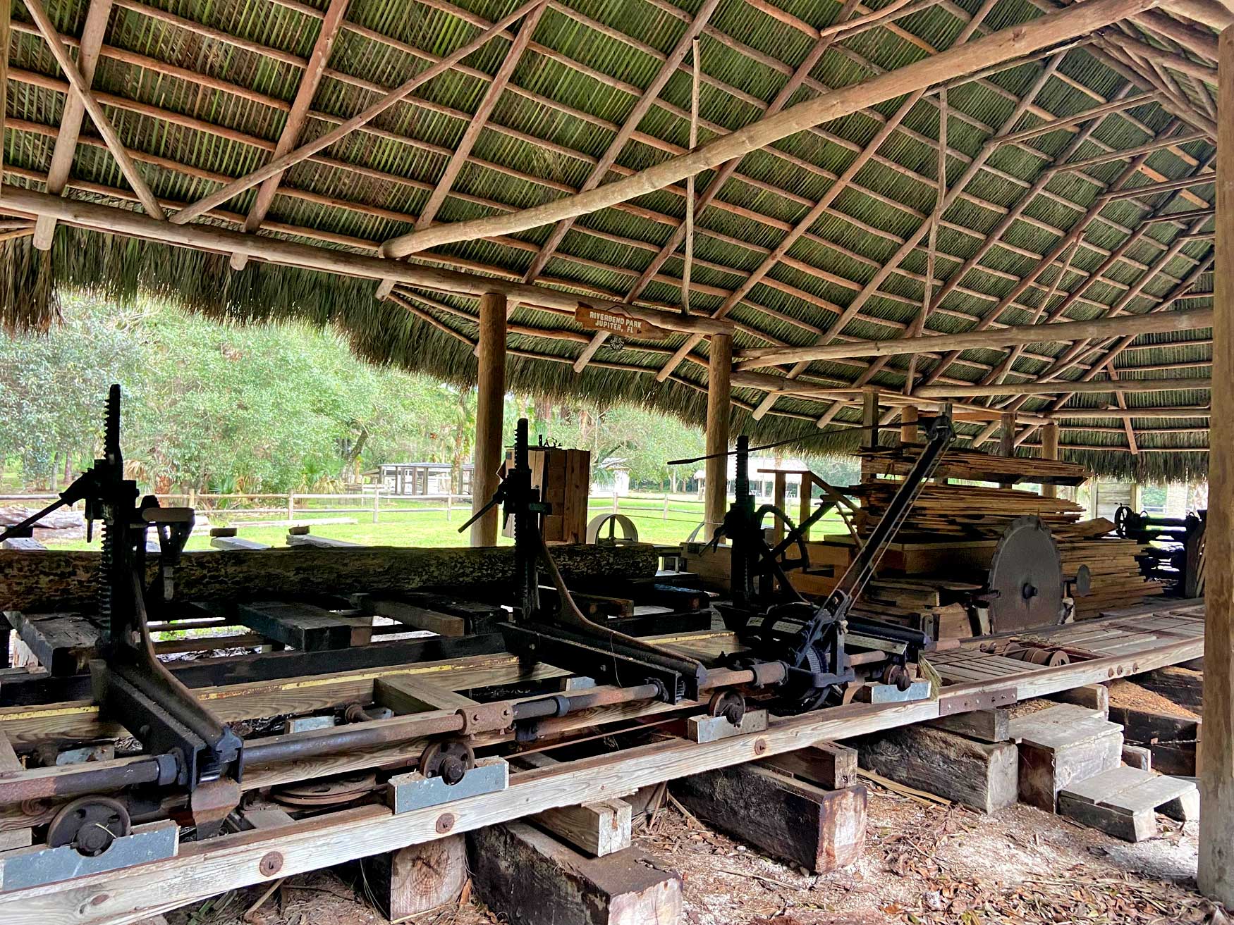
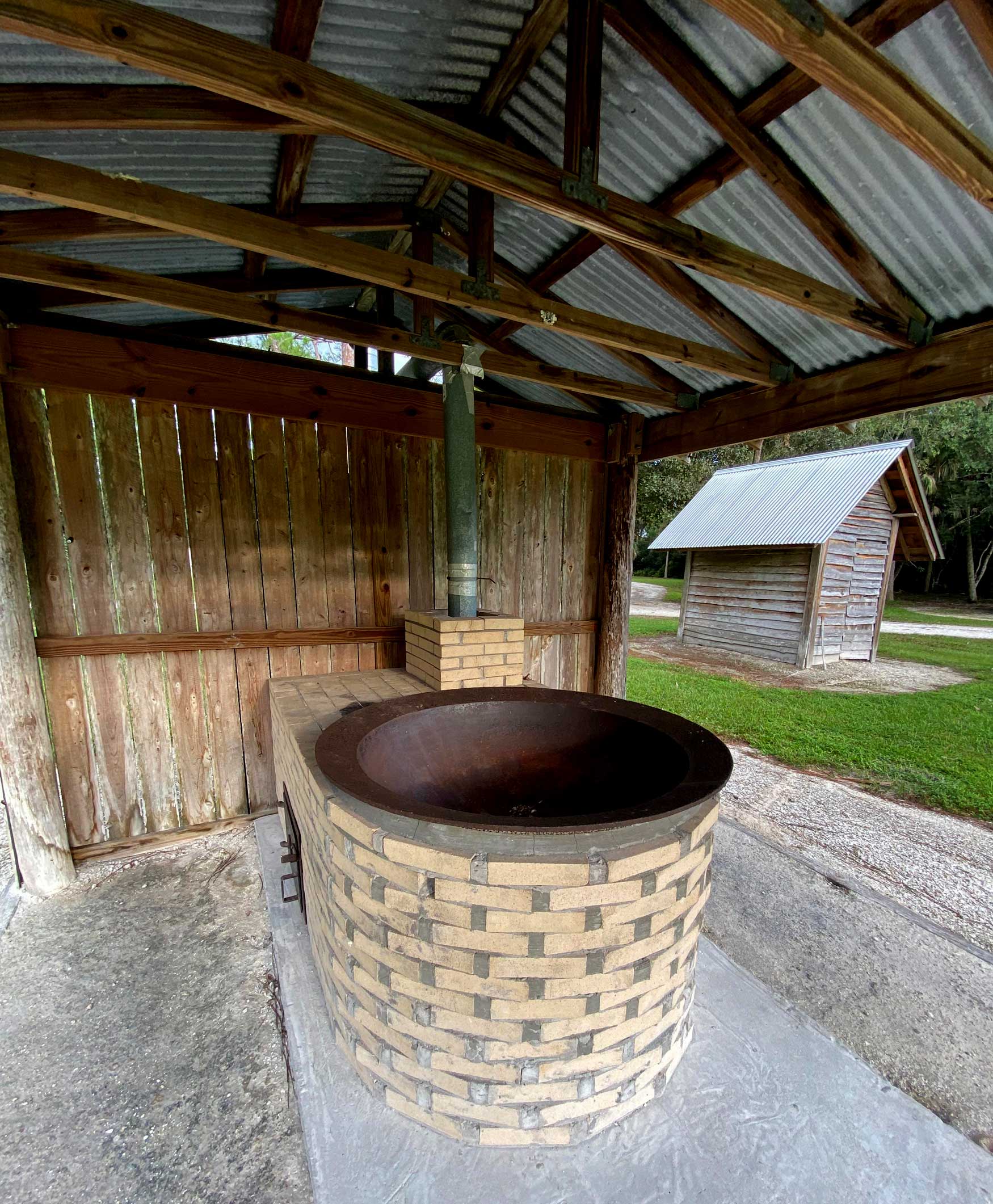
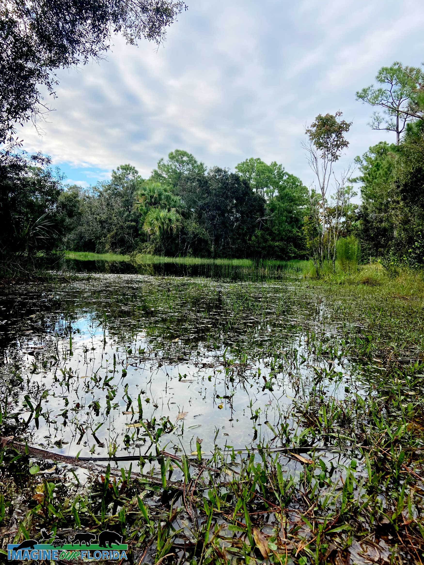
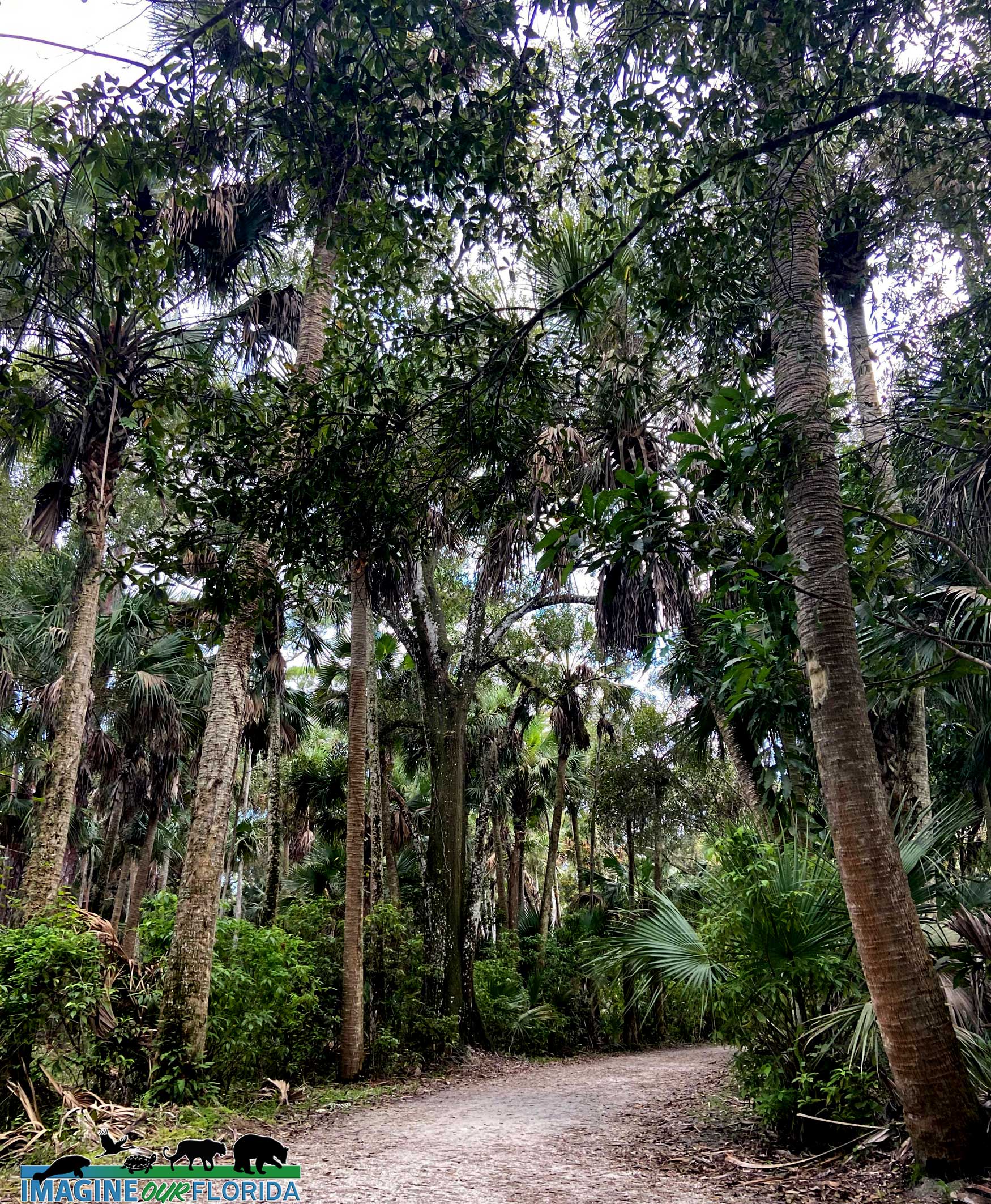
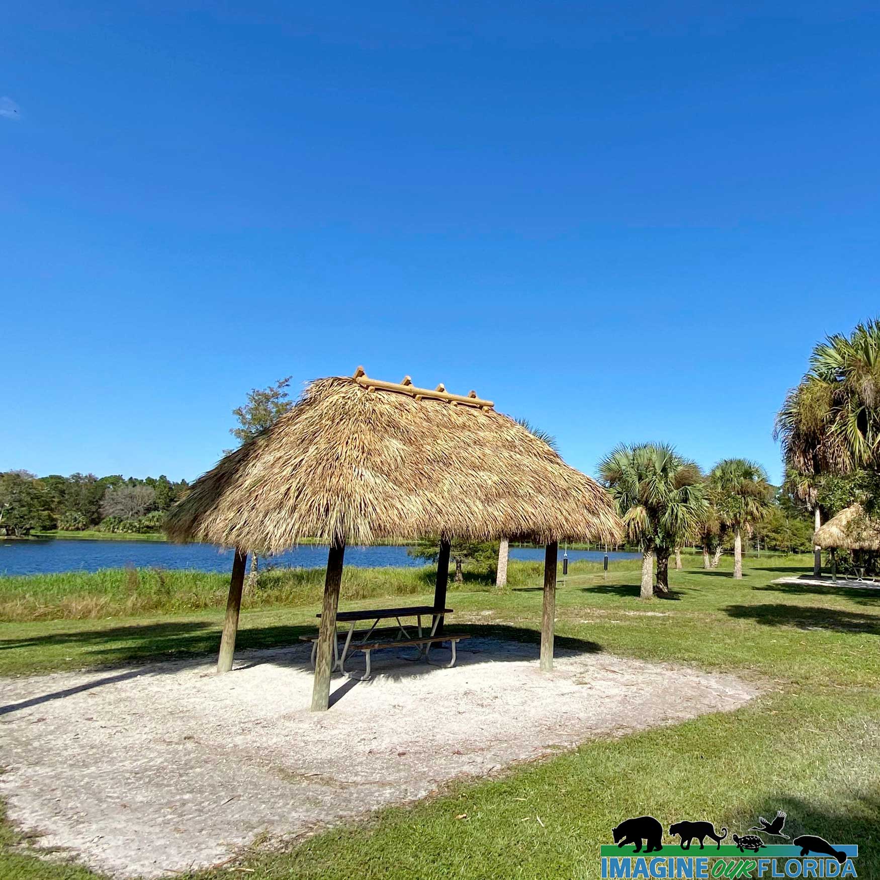
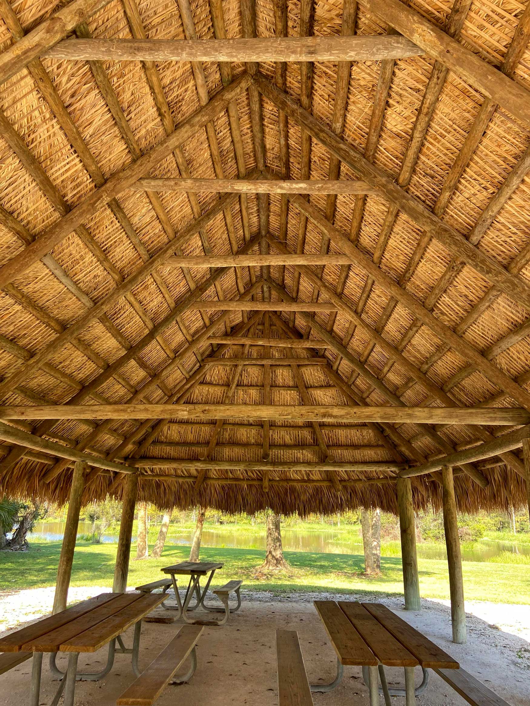
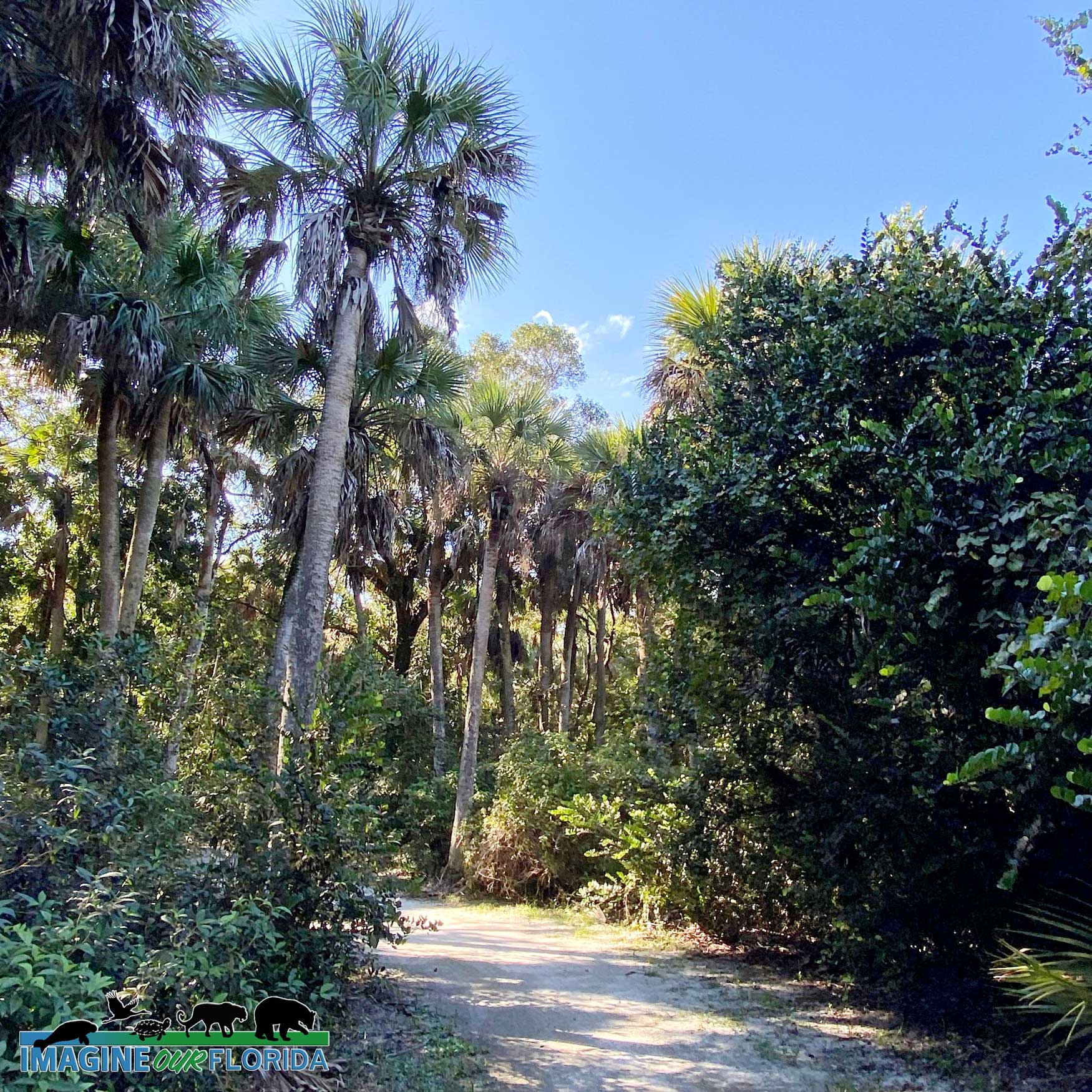
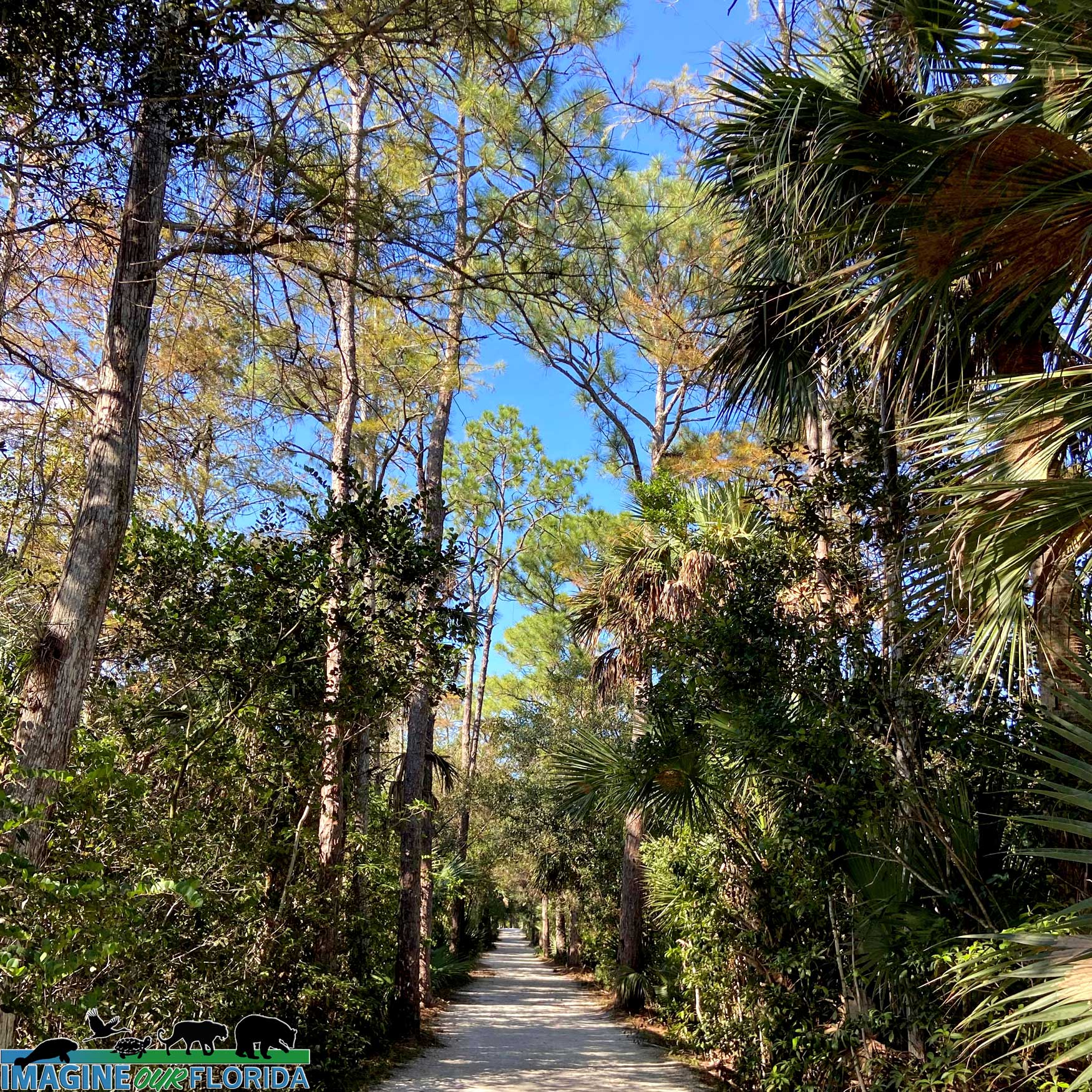
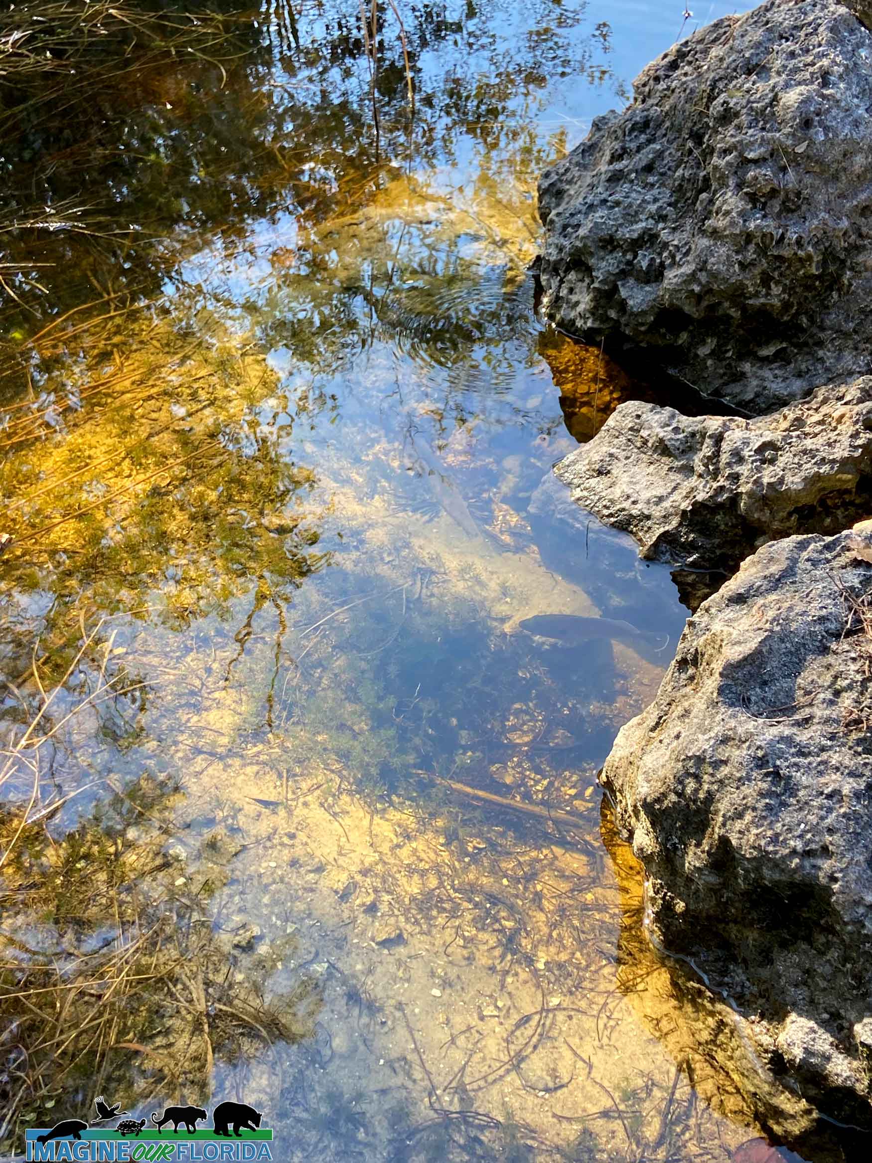
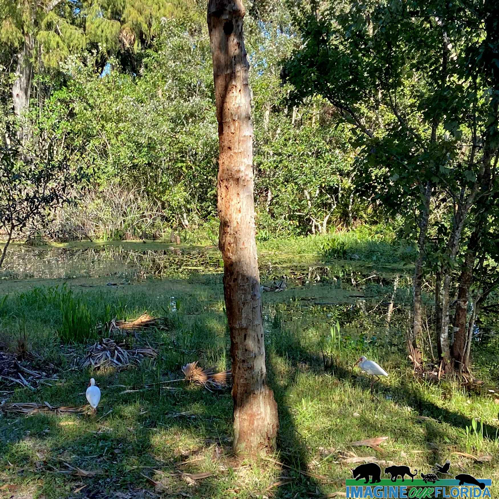
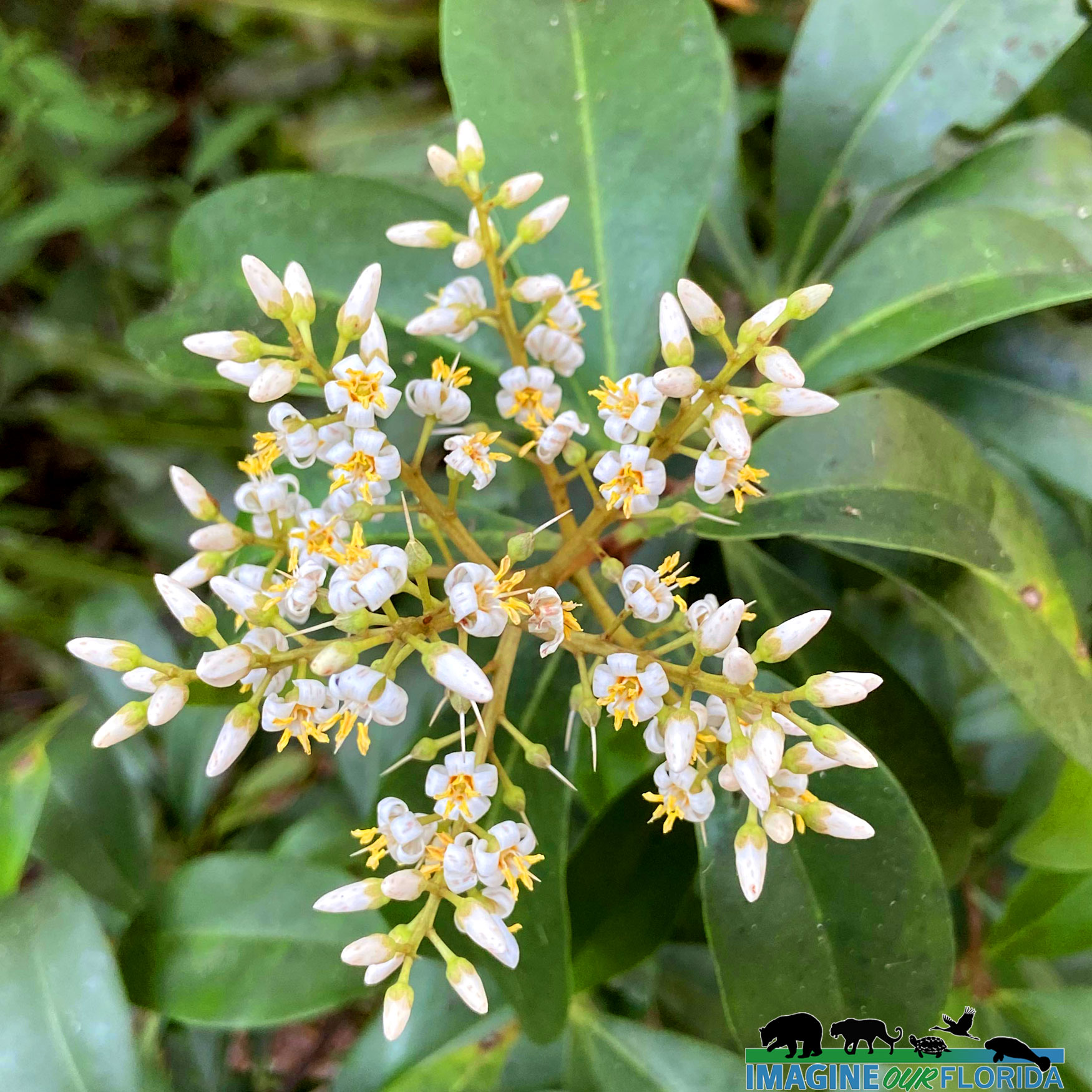
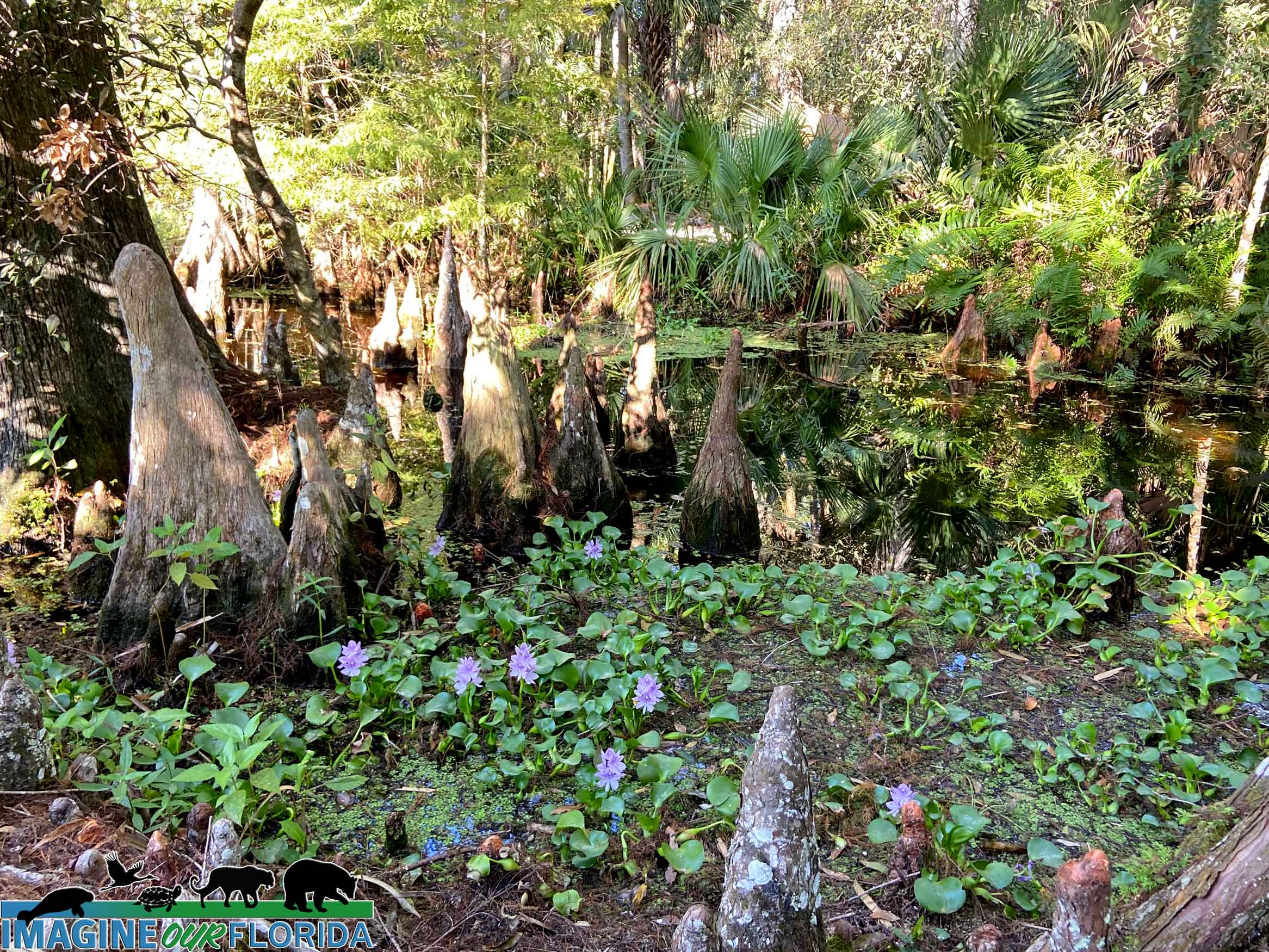
With almost 10 miles of hiking/biking trails, 7 miles of equestrian trails, and 5 miles of canoeing/kayaking trails you could spend hours and see only half of Loxahatchee River Battlefield Park. With its location near I95 in Jupiter, one could easily stop for a quick stroll to stretch your legs on the first trail that is paved. If you have more time, it is even better to saunter further down along the Wild and Scenic Loxahatchee River, check out the old Cracker Farmstead, and picnic in the shade under one of the many Seminole chickees built throughout the park.
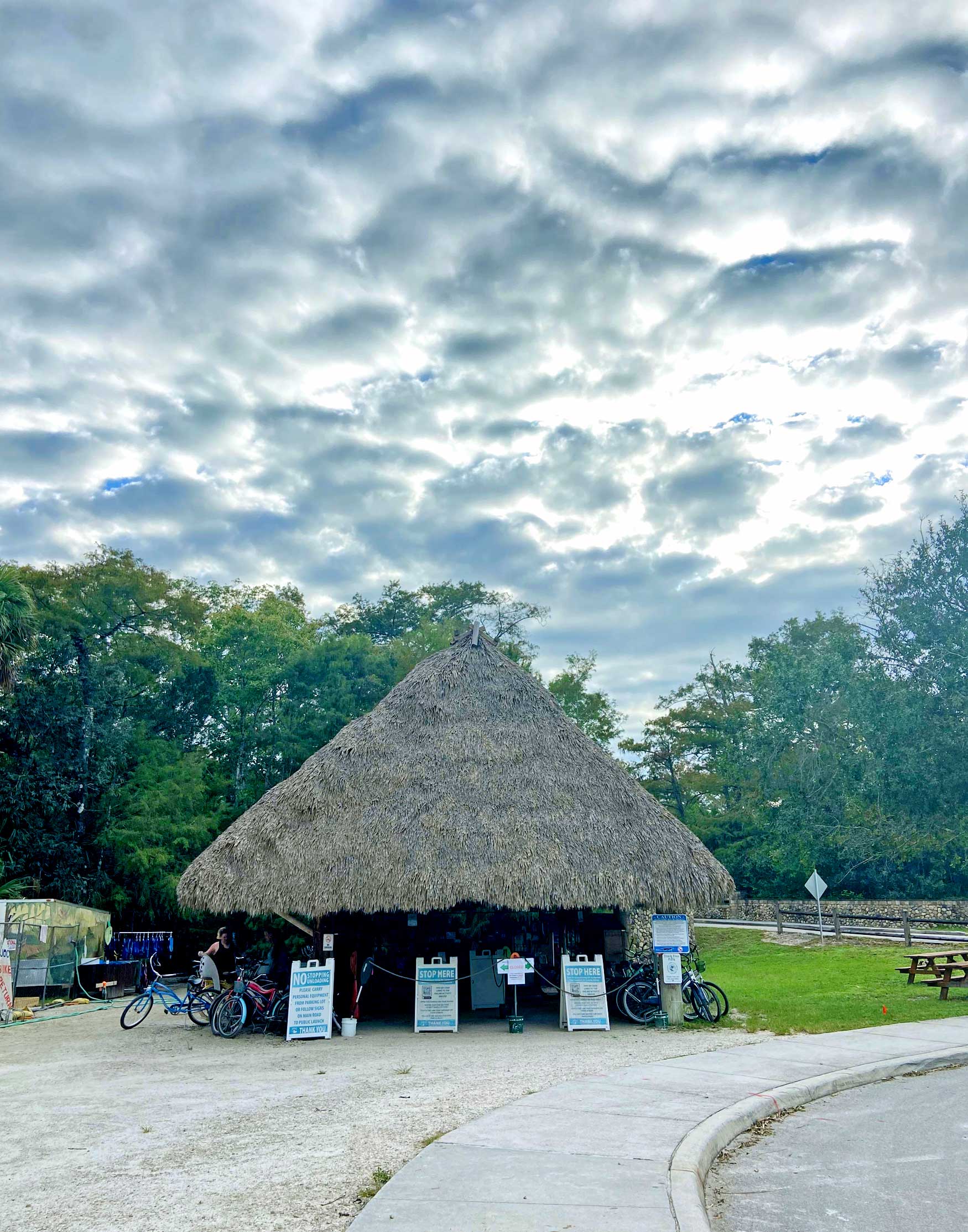
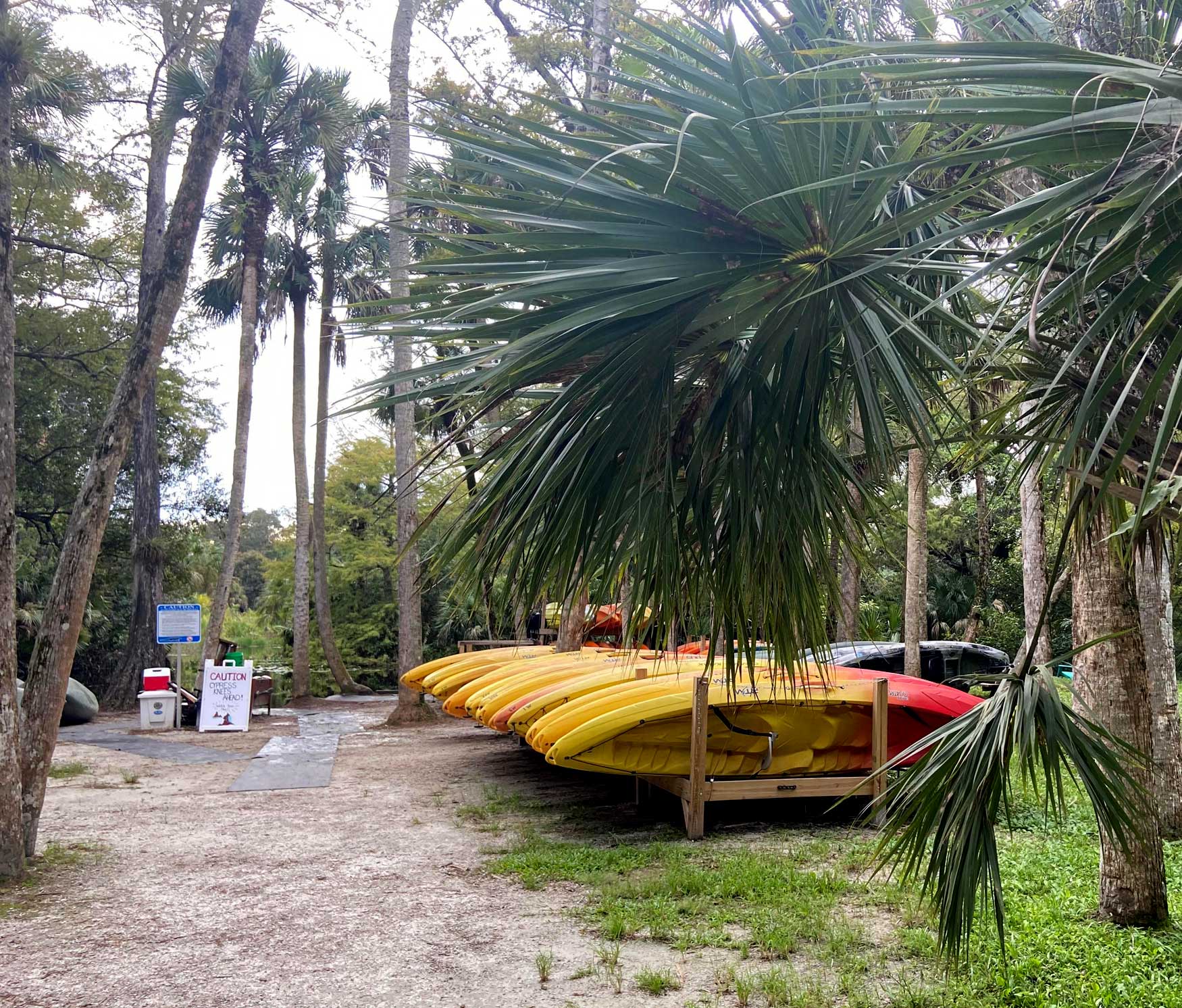
If you would like a cardiovascular experience, the large hard packed trails are also biker friendly and shared with hikers throughout the park. If you would rather take the water route, make sure to come with plenty of time to explore the wild Loxahatchee River. If you would like to bike or kayak and don’t have one, don’t worry, the park has you covered! Kayaks and bicycles are available to rent under the large chickee.
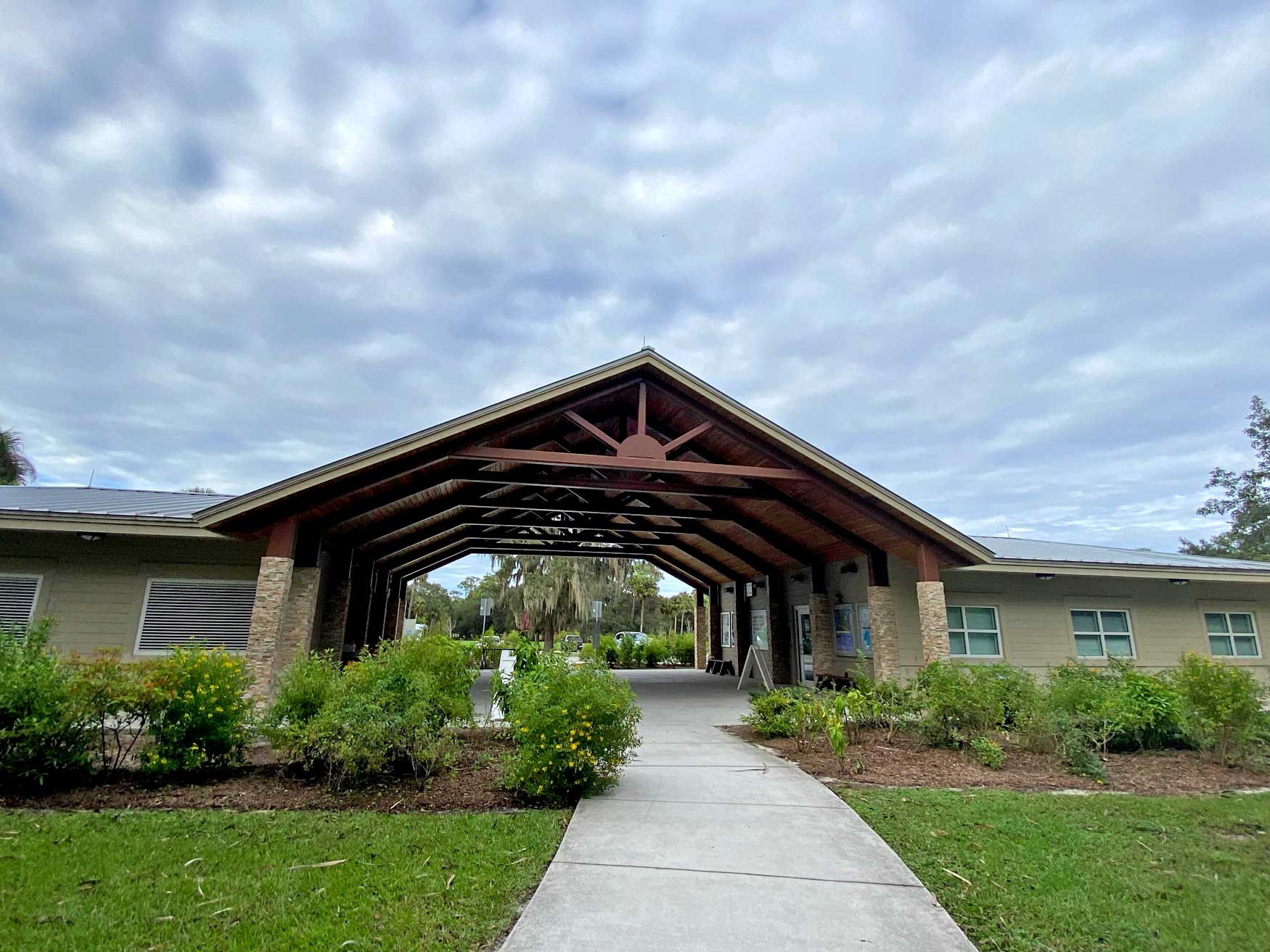
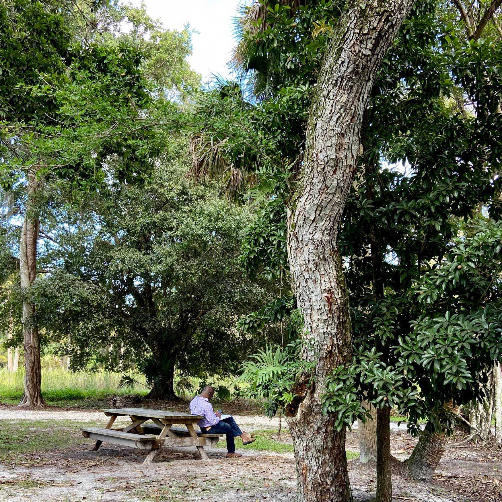
Watch for family-friendly special events year-round. A moonlight bicycle stroll through the park is offered monthly. They have the most outstanding guest speakers so make sure to check the park schedule for upcoming events. The park includes full bathroom facilities and a very friendly informative ranger station.
Riverbend Park is a Leave No Trace park, so what trash you bring in, you bring out! Overall, this has to be the best local/city park I have found in the state yet!
HOURS: Sunrise- Sunset
Amenities:
nature trail/area
The following amenities are located in adjacent Riverbend Park
– parking, canoe/kayak, fishing
– equestrian trails (nearly 7 miles) Equestrian Parking is available
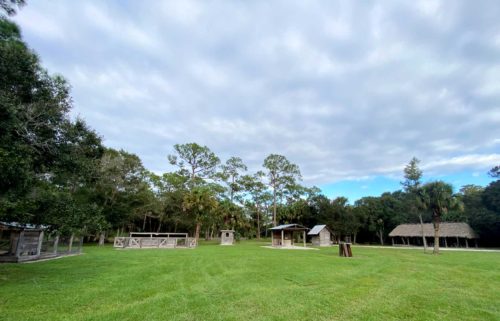
– Picnic chickees with single tables and pavilions – available on a first-come, first-served basis
– Picnic pavilion available by reservation on Picnic Island
For more information, click the following links.
Author and Photo Credit: Bobby Putnam 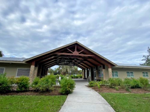


Recent Comments