
Spruce Bluff Preserve
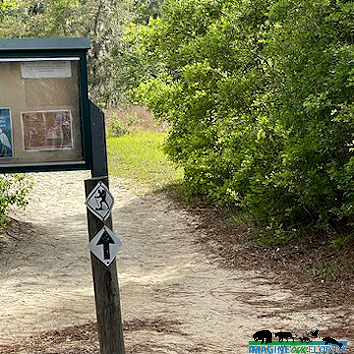
Locating in Port St. Lucie on the eastern side of the St. Lucie River, The Spruce Bluff Preserve is one of St Lucie County’s most popular parks. It is home to myriad plant and animal species, making it a popular spot for nature enthusiasts and bird watchers. This 97-acre site has two distinct hiking trails and what makes this preserve so special are the two self-guided, interpretive trails that teach us about how the Ais tribe and a pioneer settlement previously occupied the land.
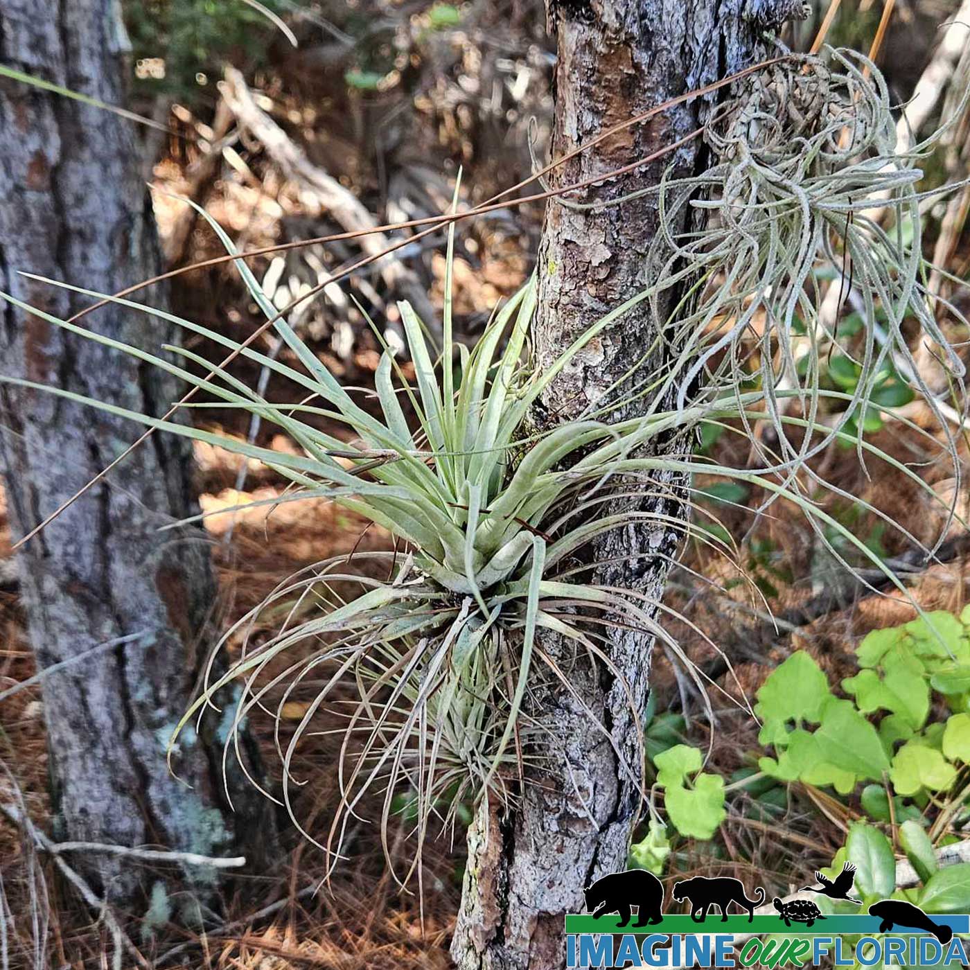
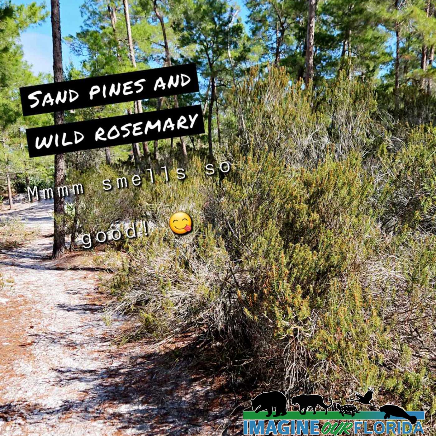
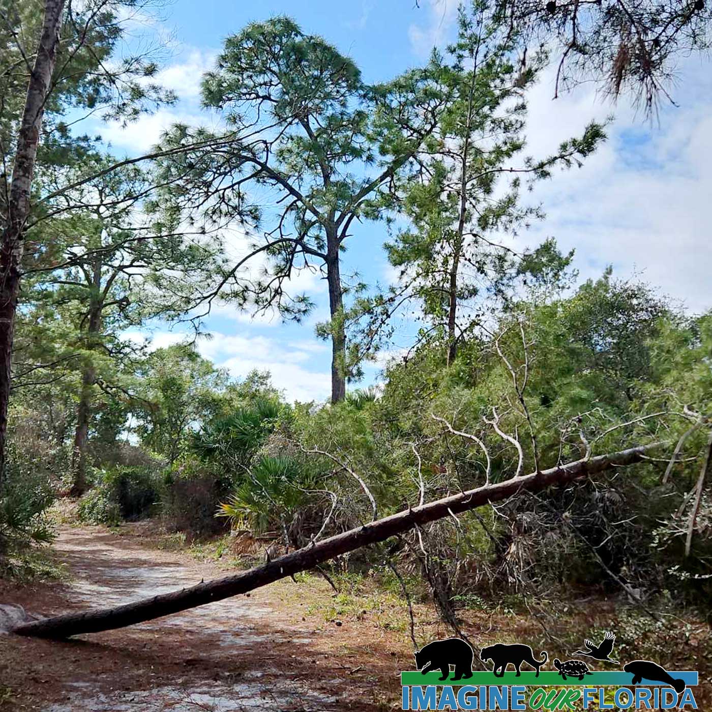
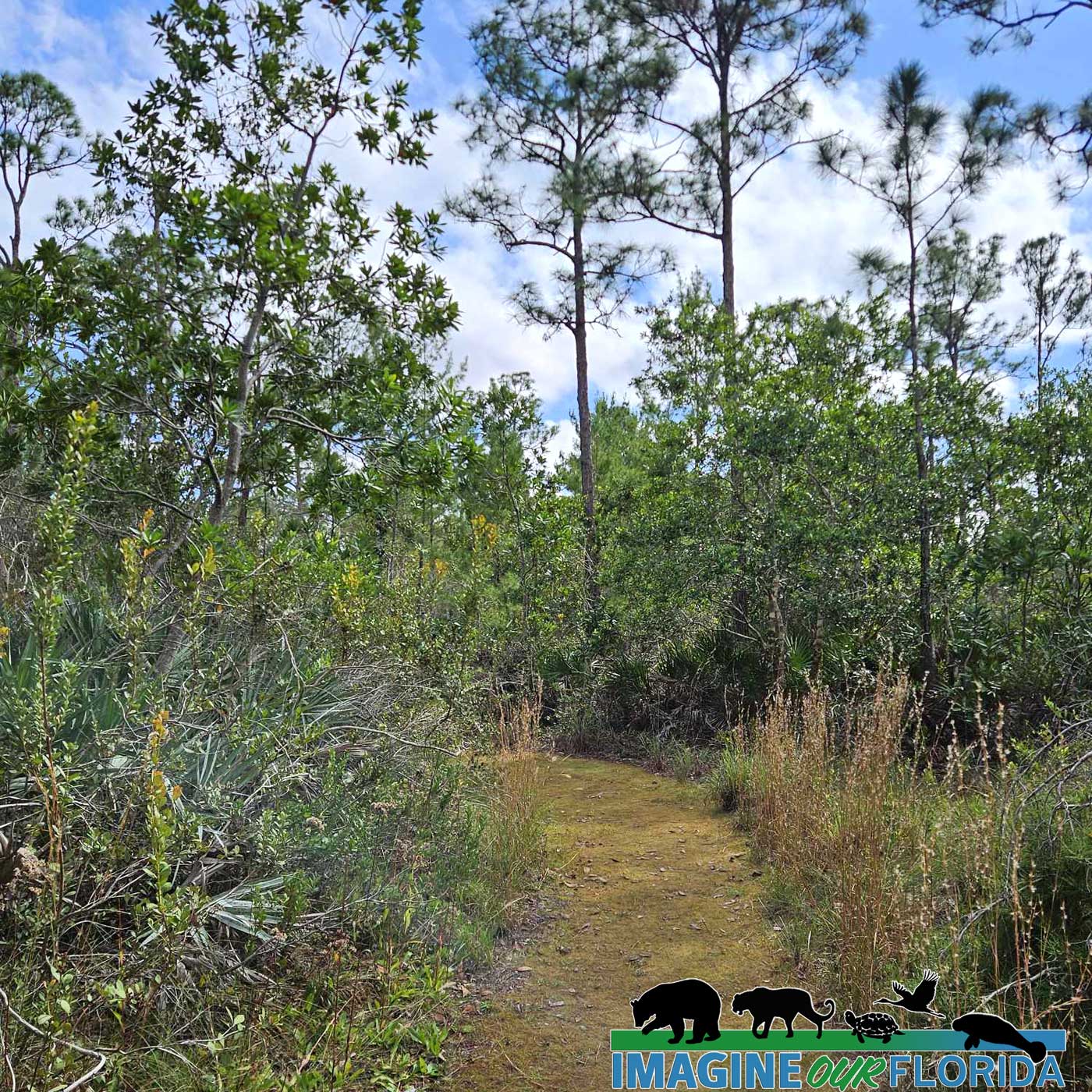
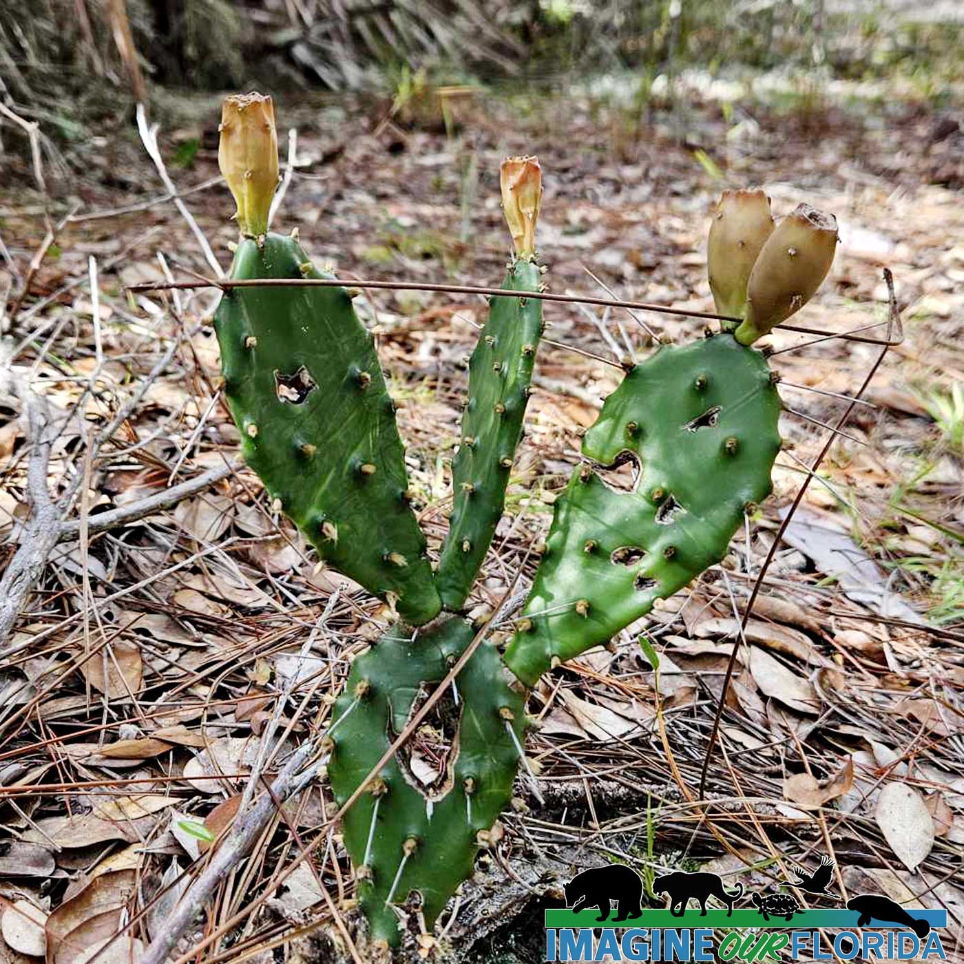
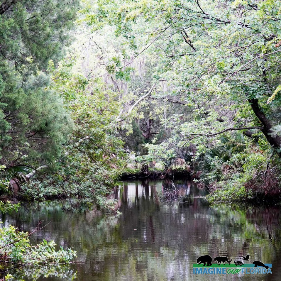
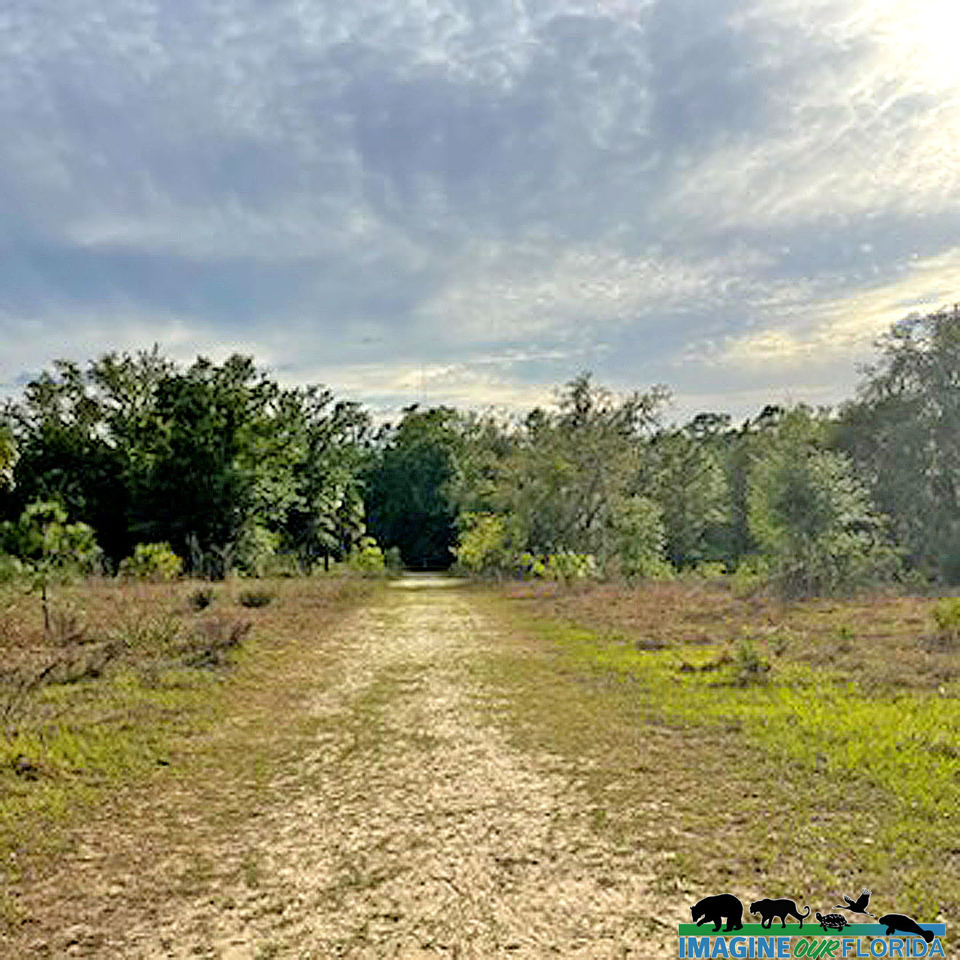
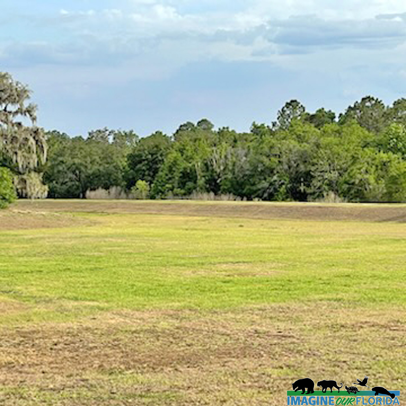
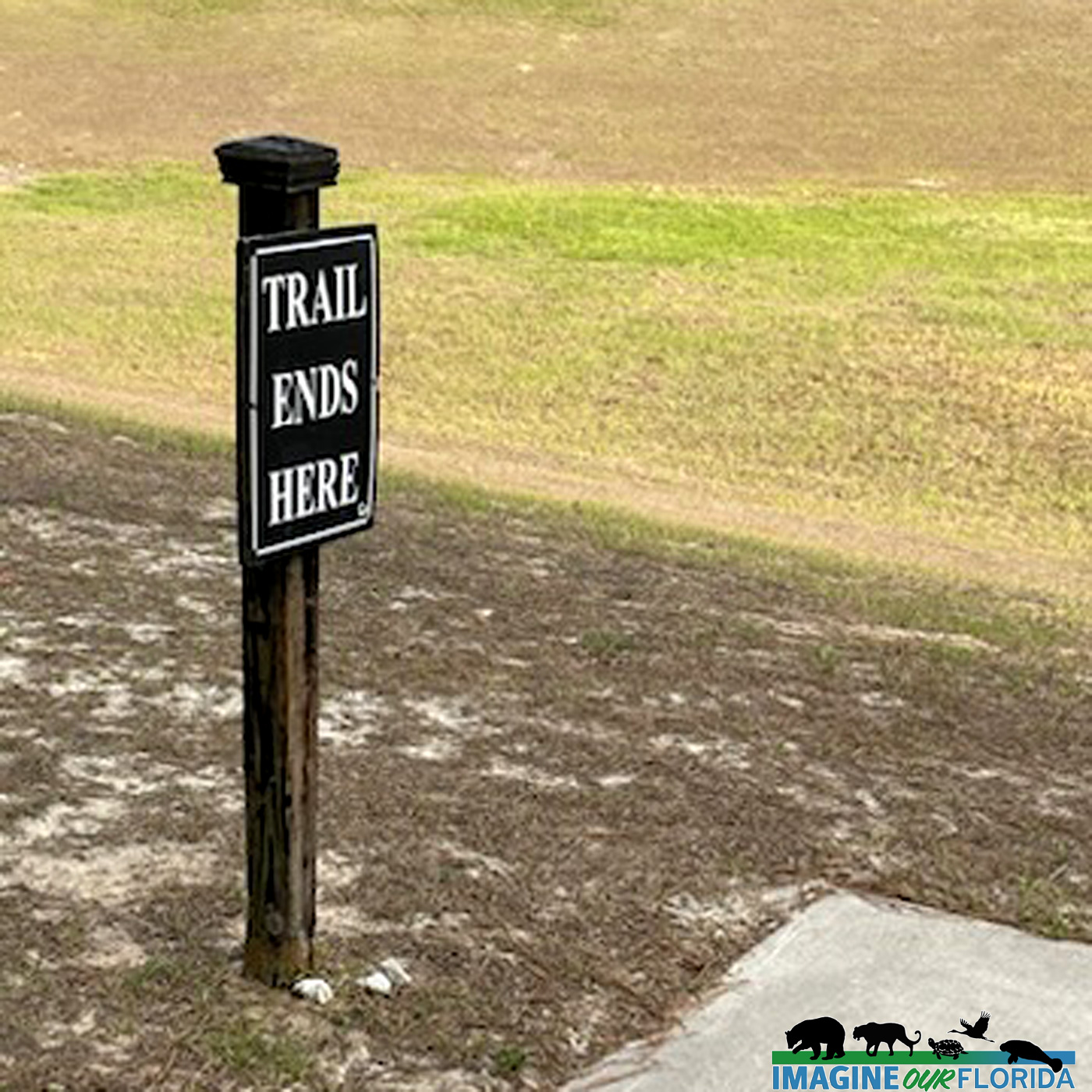
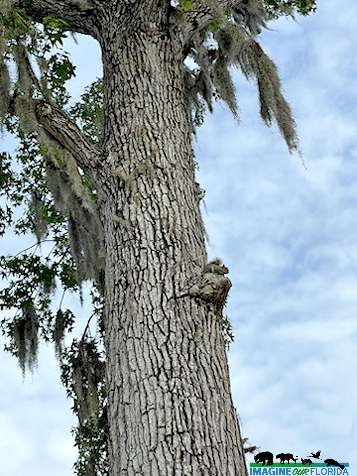
The north loop trail takes you to the site of the 1891 pioneer settlement and cemetery along the banks of the St. Lucie River. Created after the Second Seminole War, little remains but a cemetery marker. This trail takes you through a beautiful Sand Pine Forest. While walking, keep more than your eyes and ears open, for you don’t want to miss the smells of the fresh pine and wild rosemary that can be found in large patches of the main trail on your way to the pioneer cemetery. Watch out for the random prickly pear cactus, and maybe you will be lucky enough to spot a land crab along the trail.
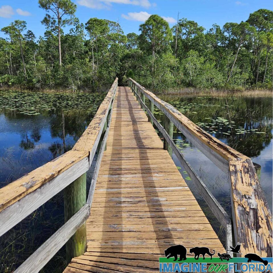
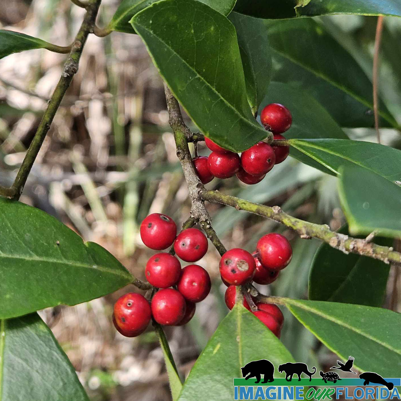
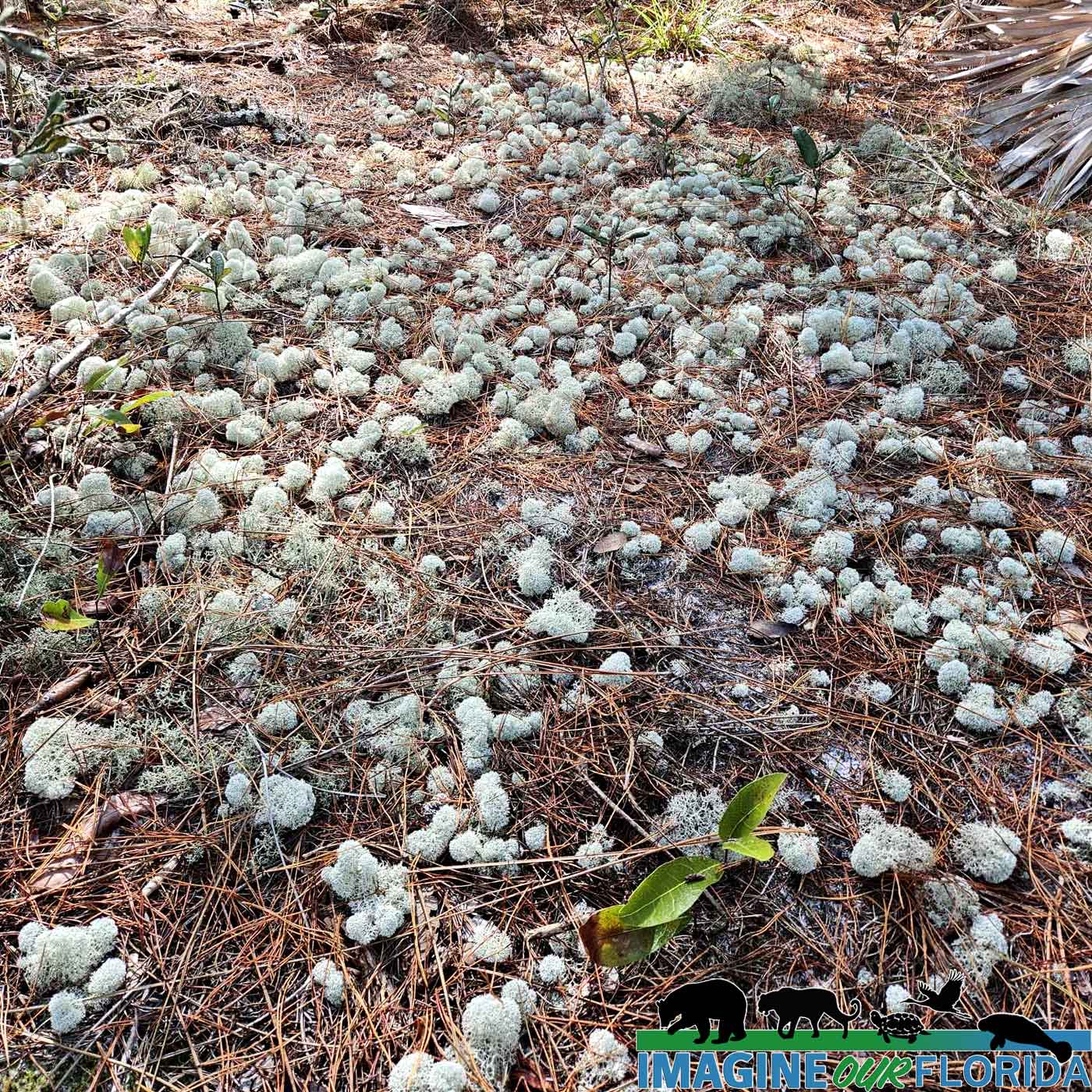
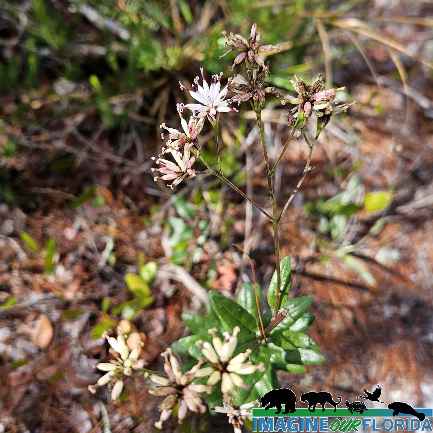
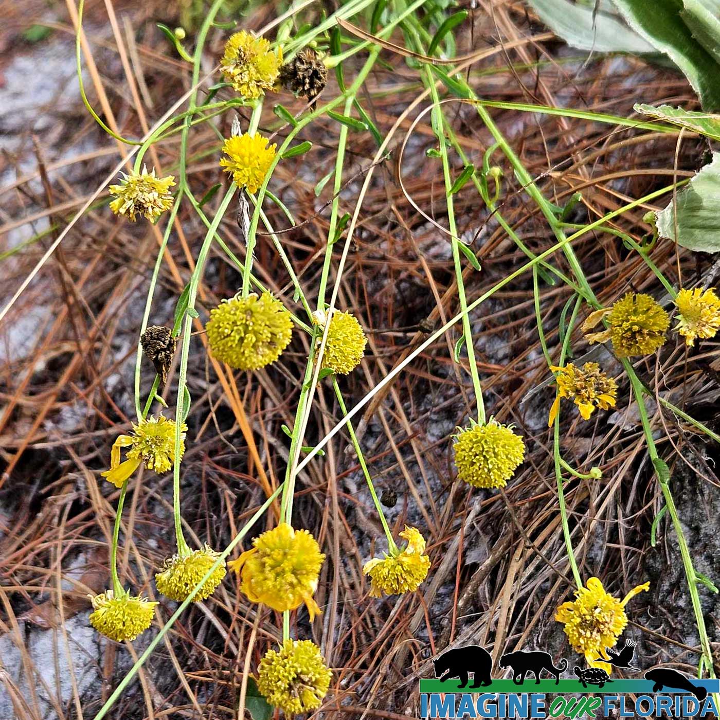
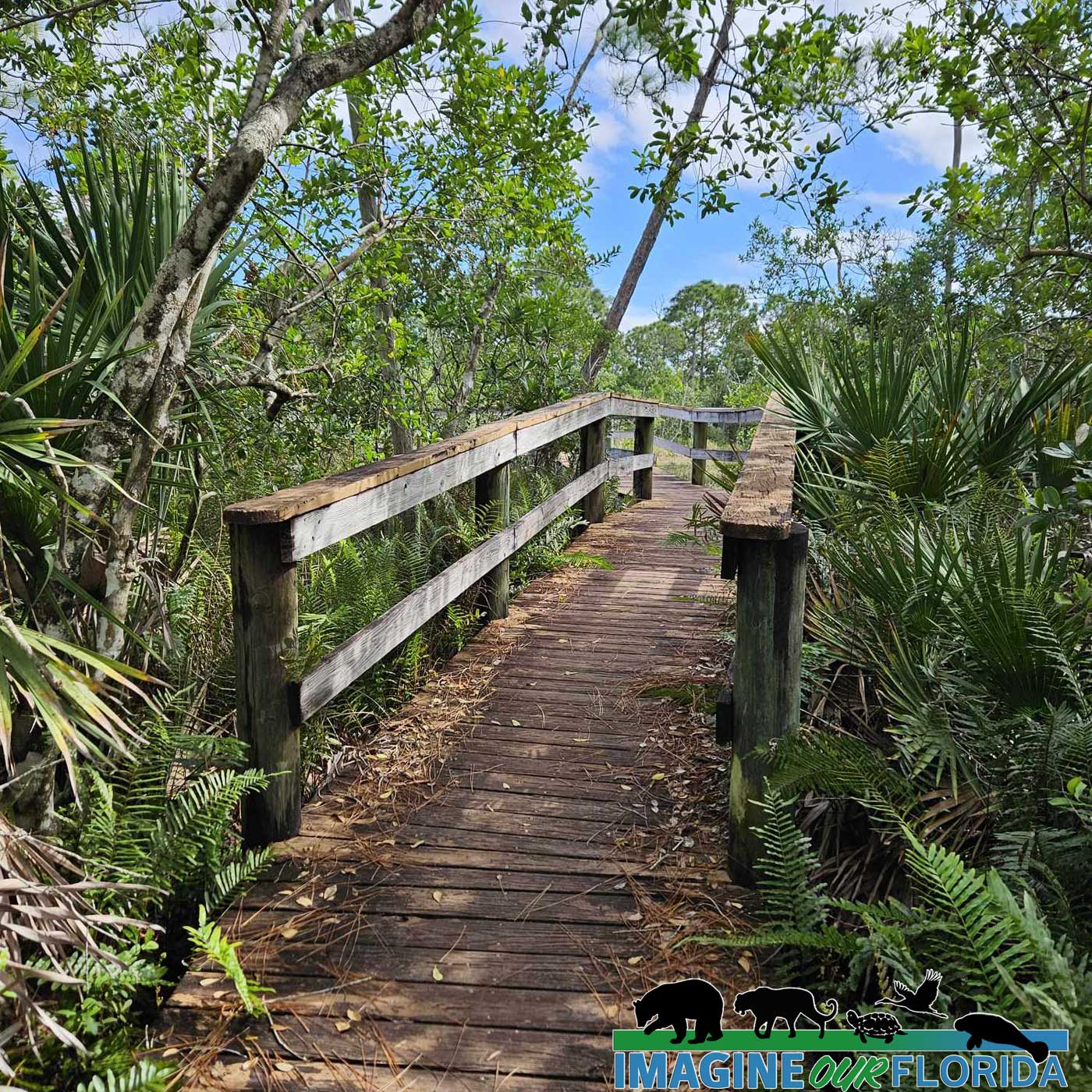
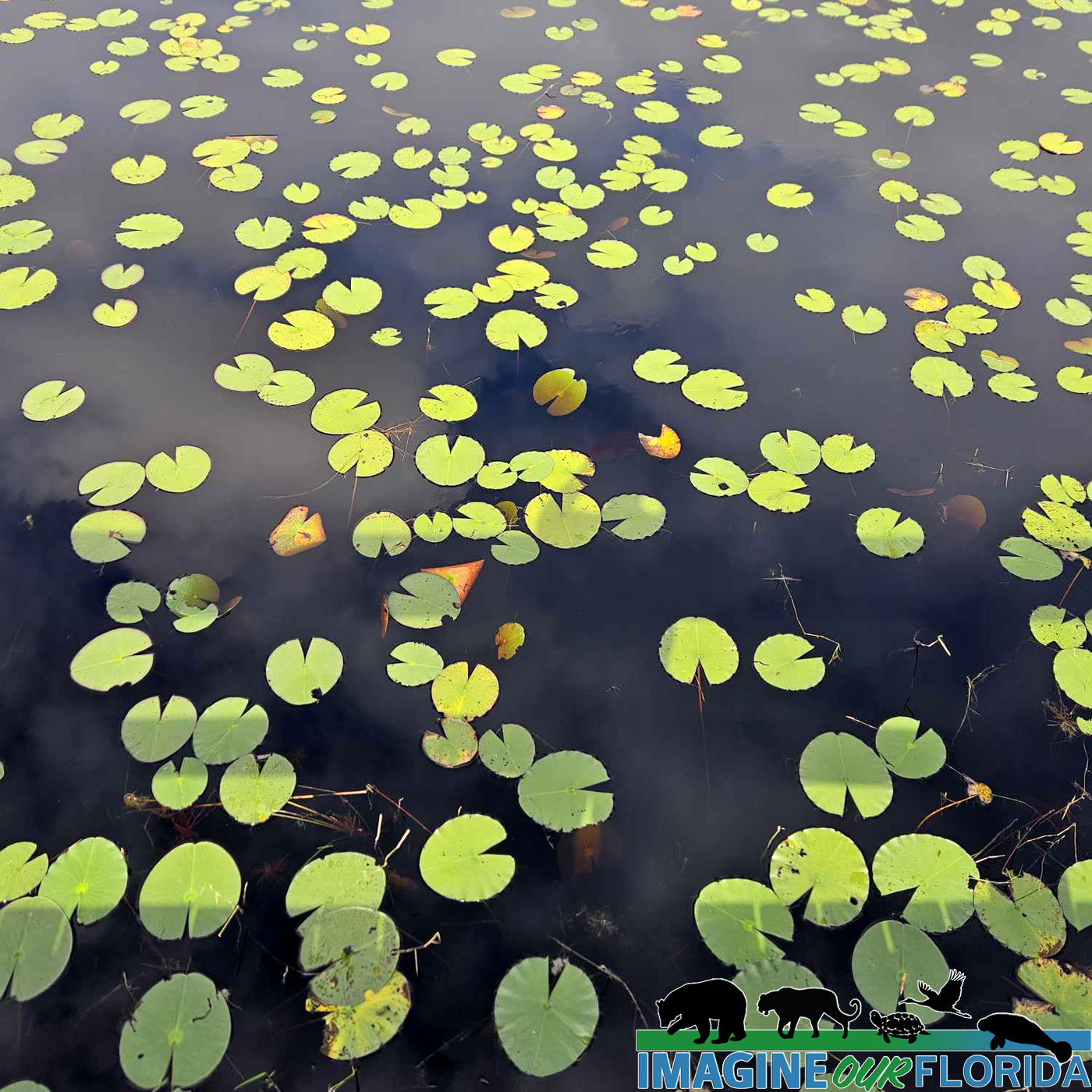
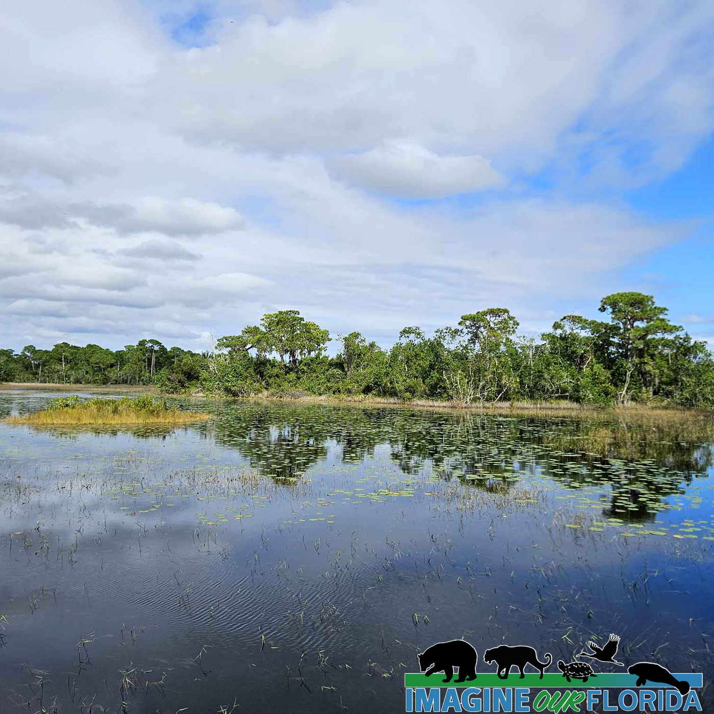
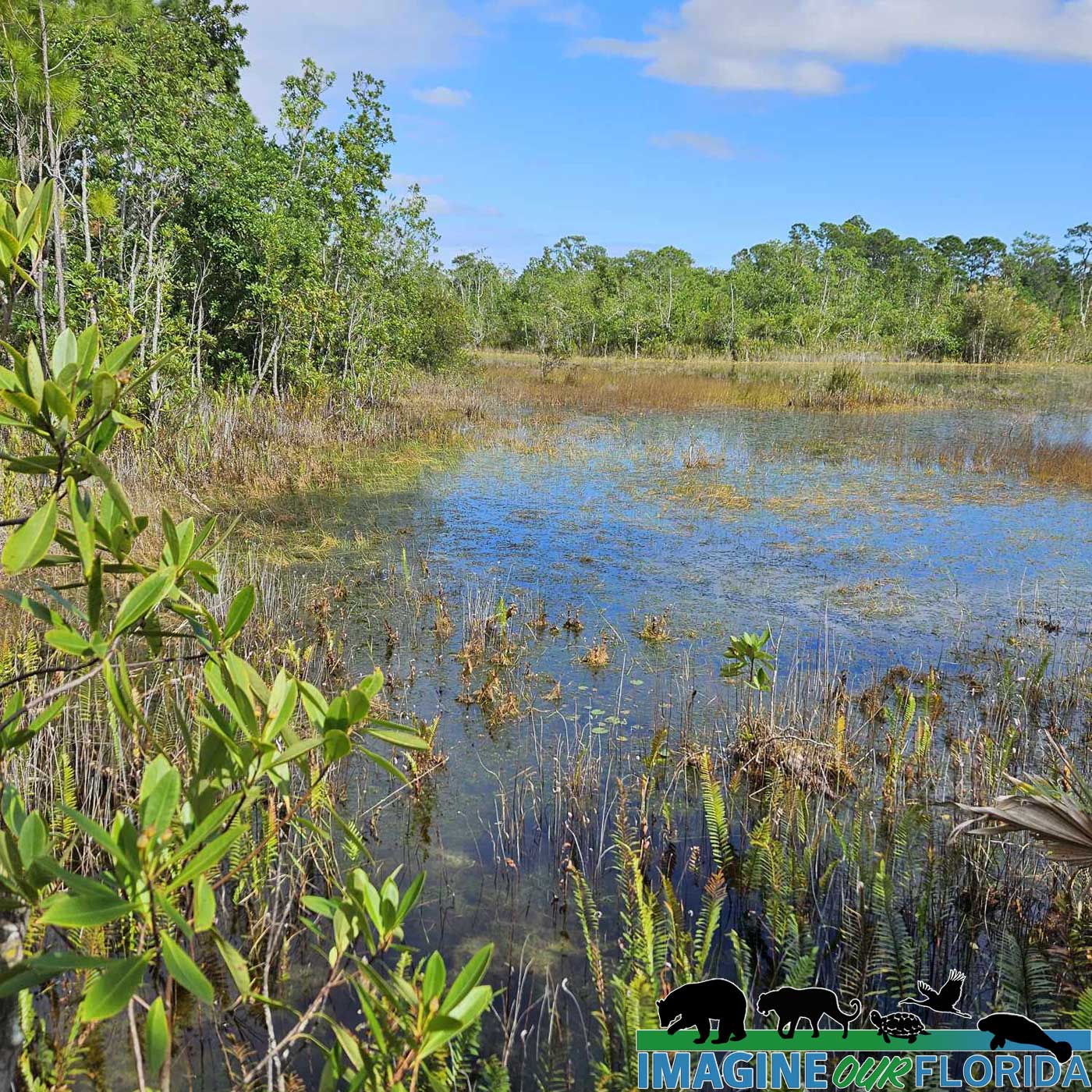
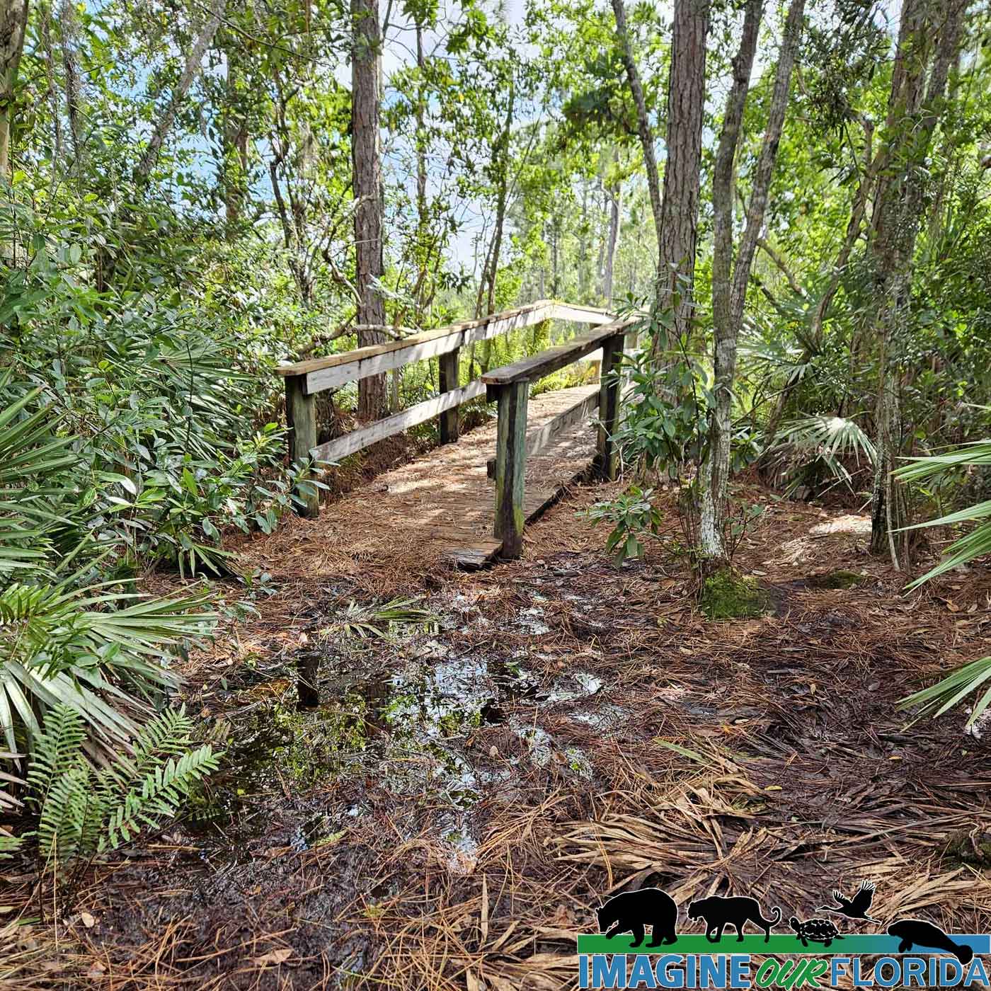
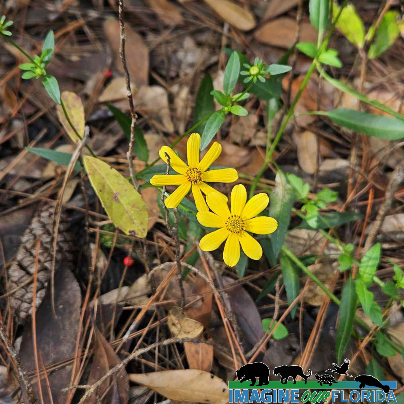
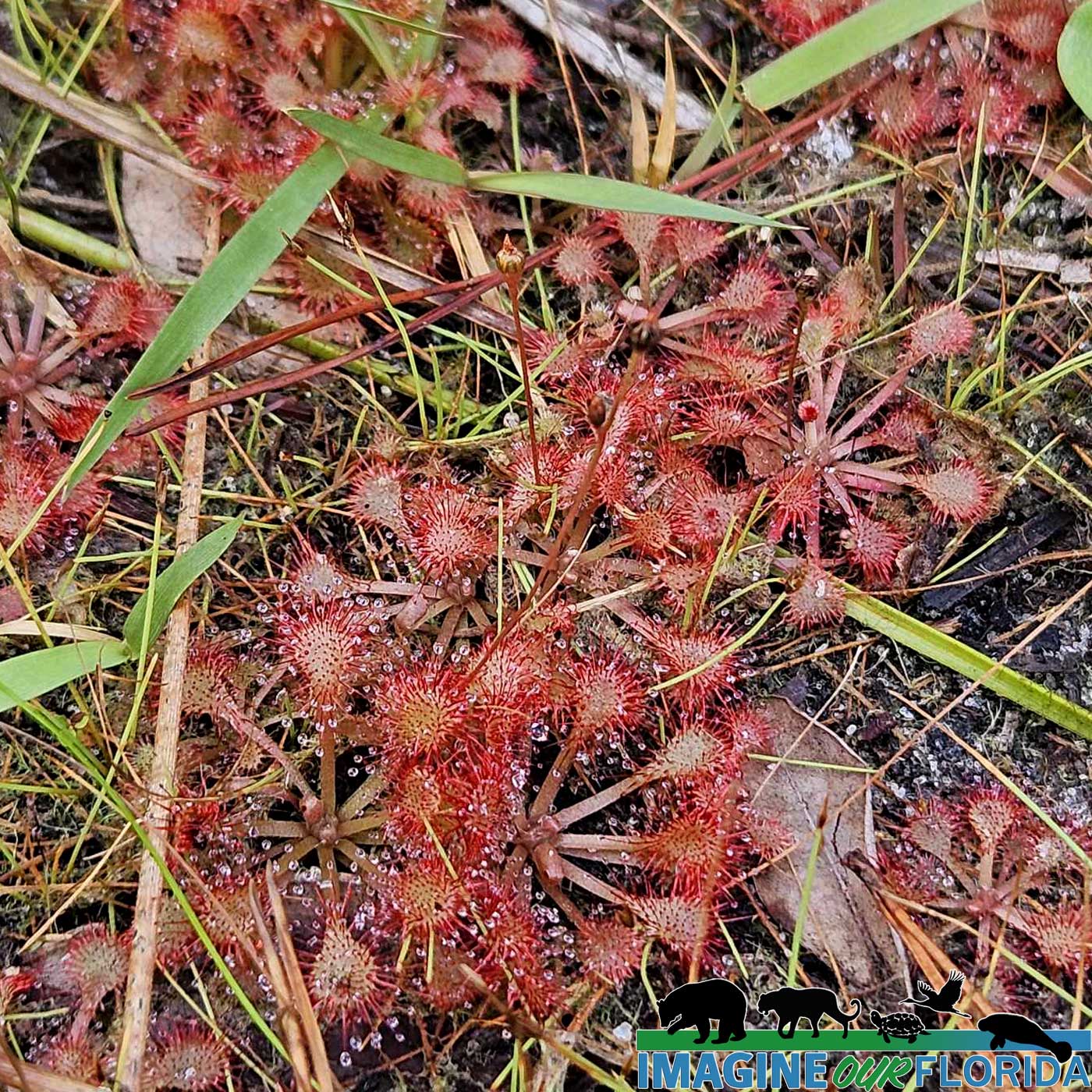
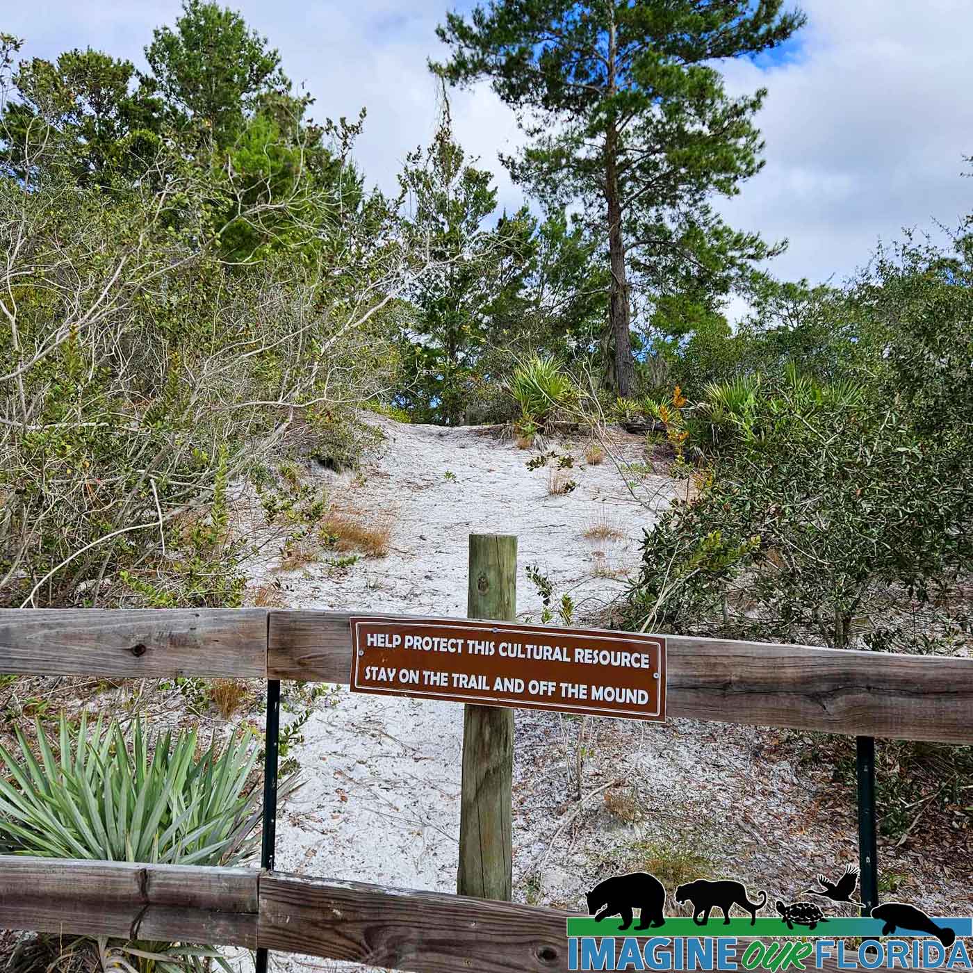
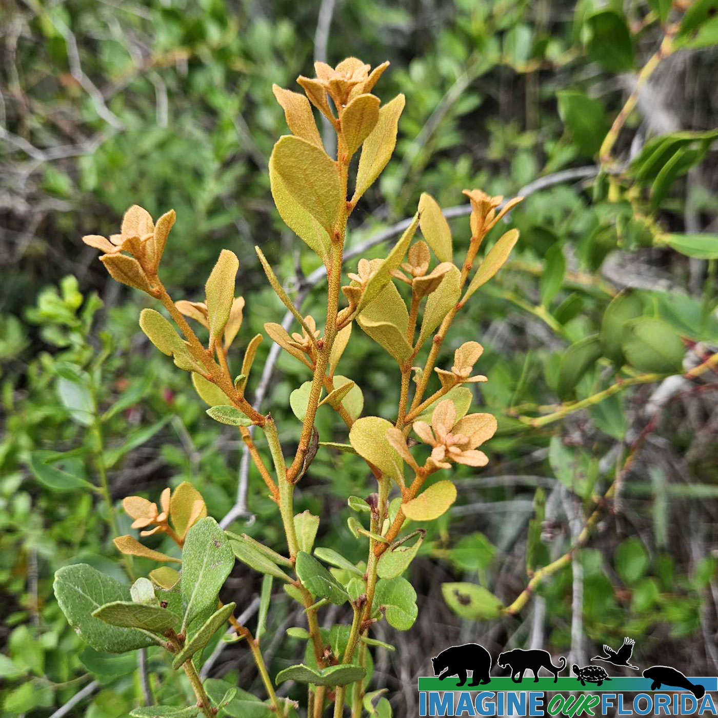
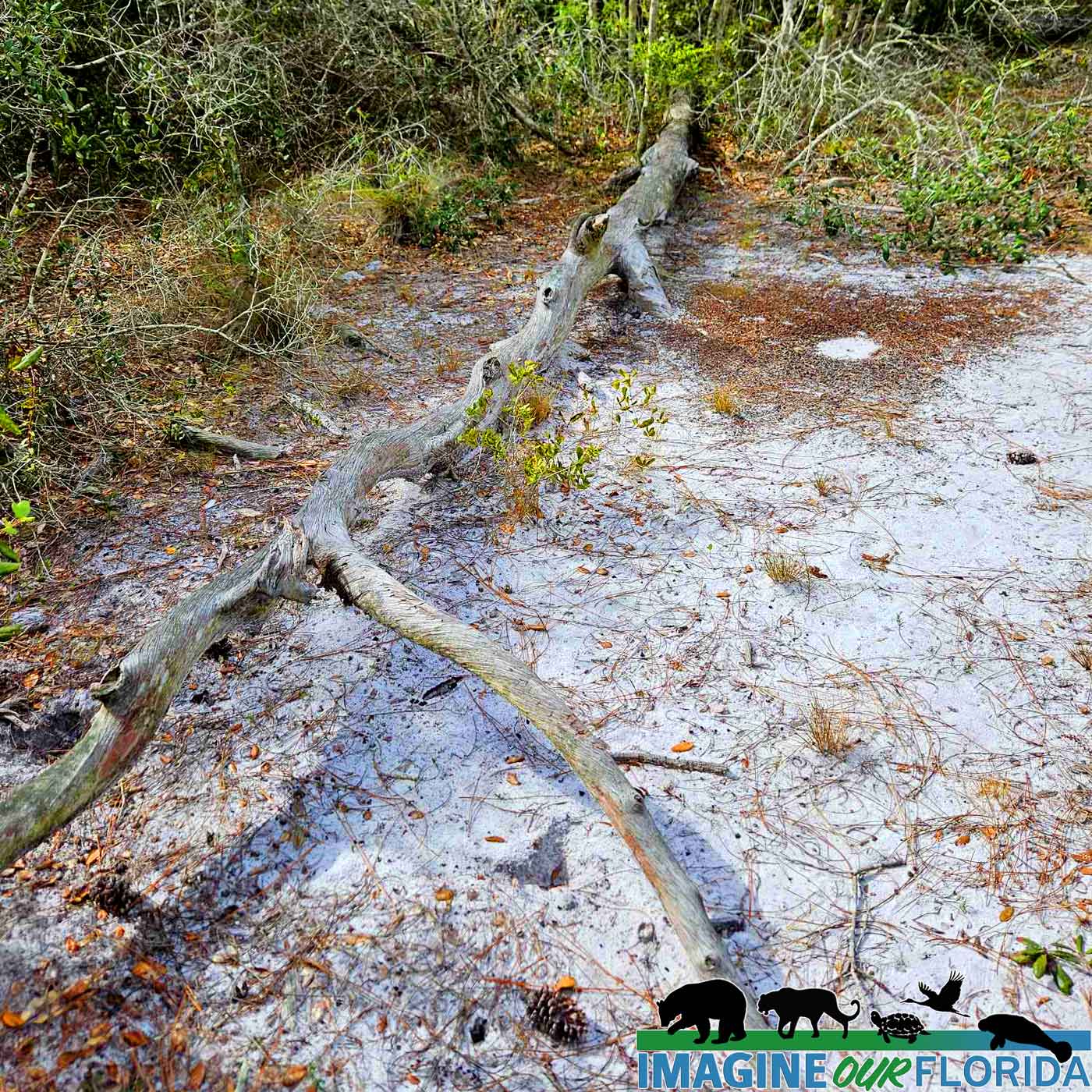
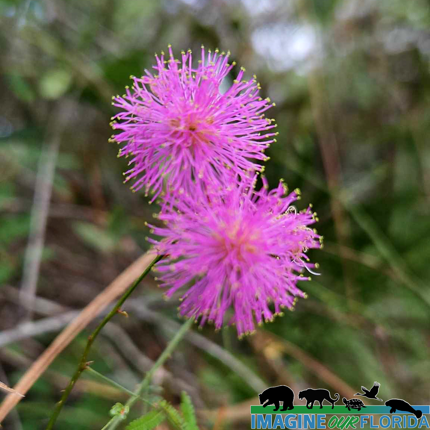
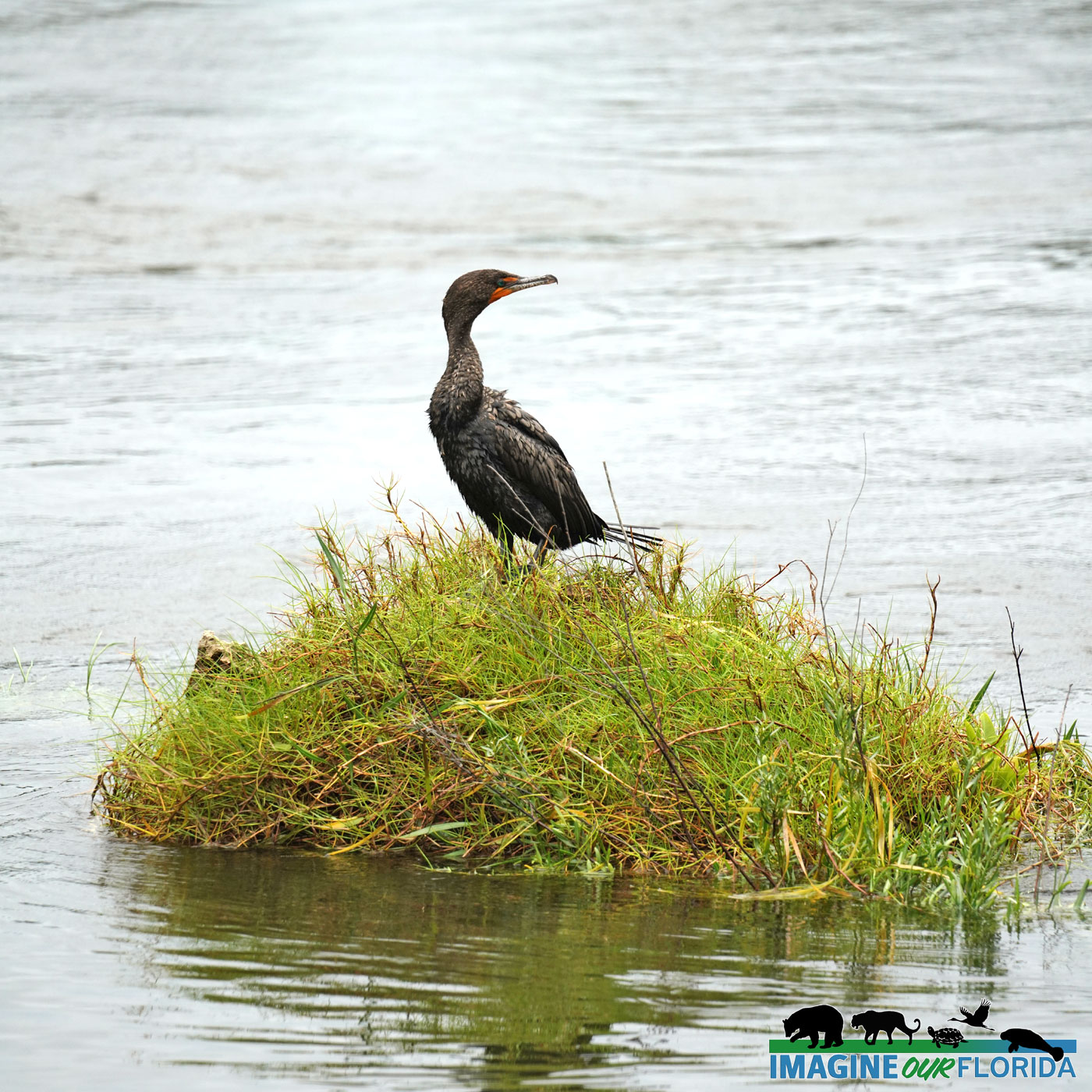
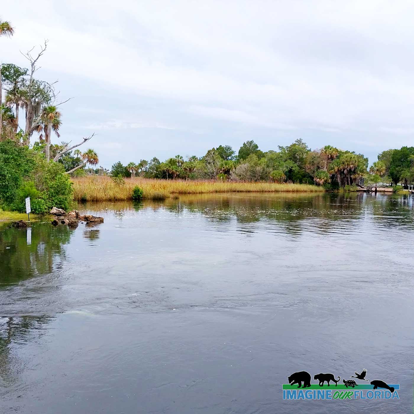
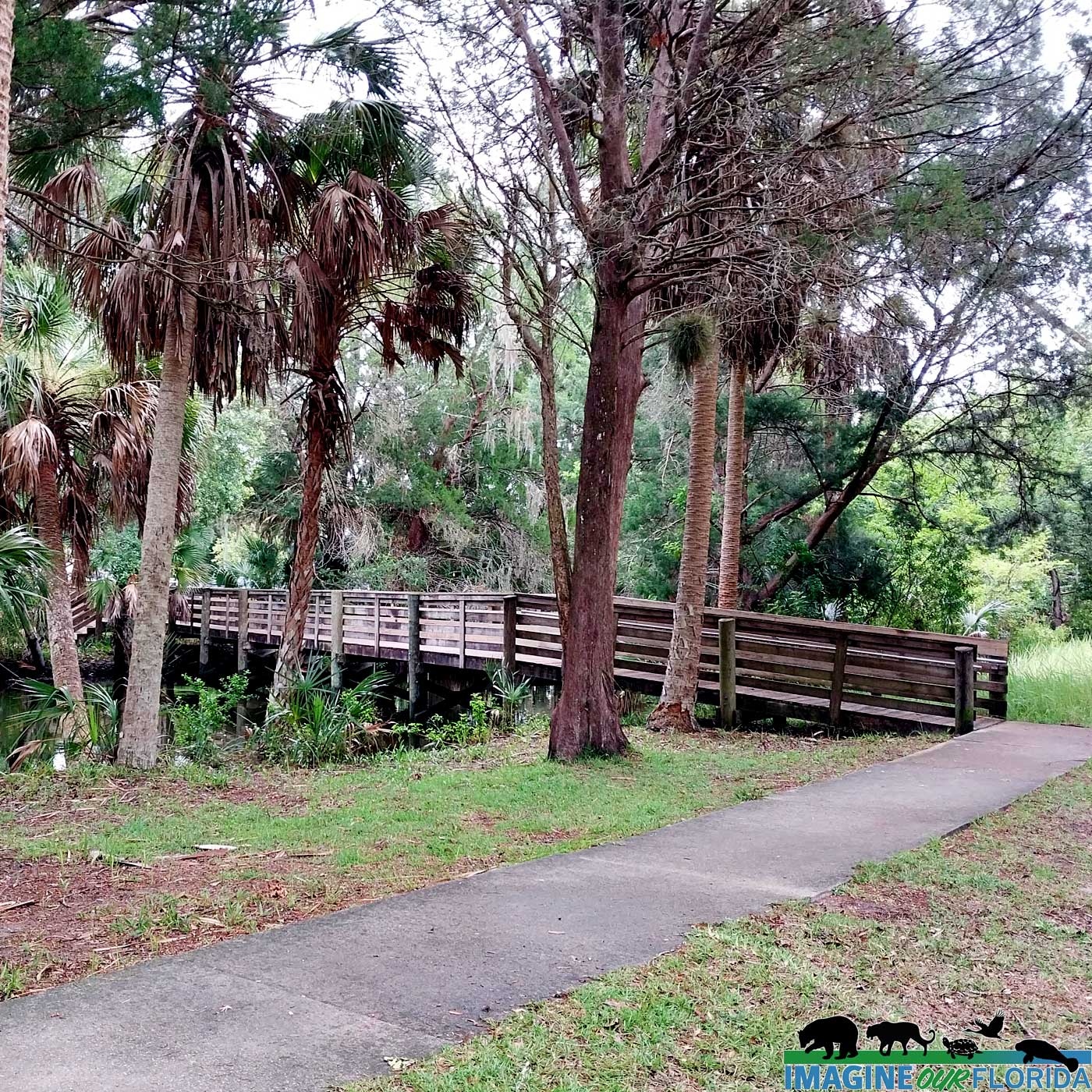
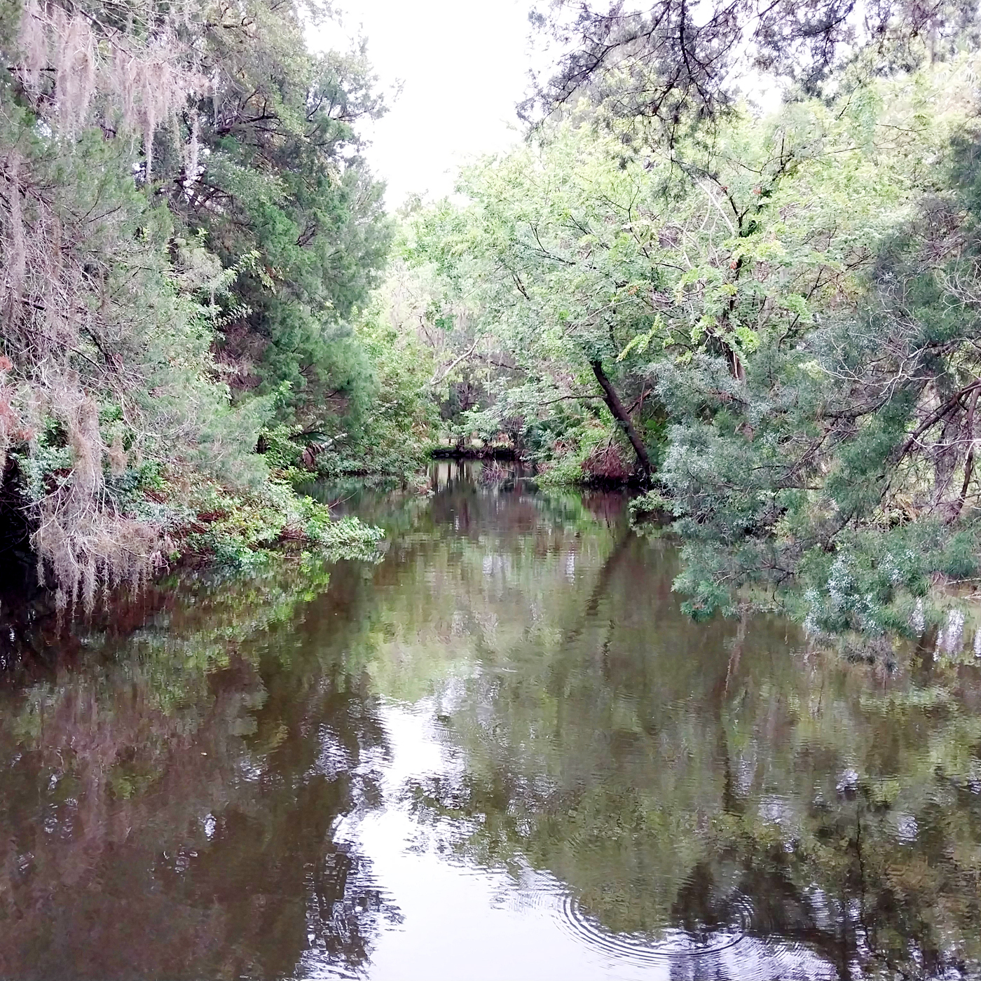
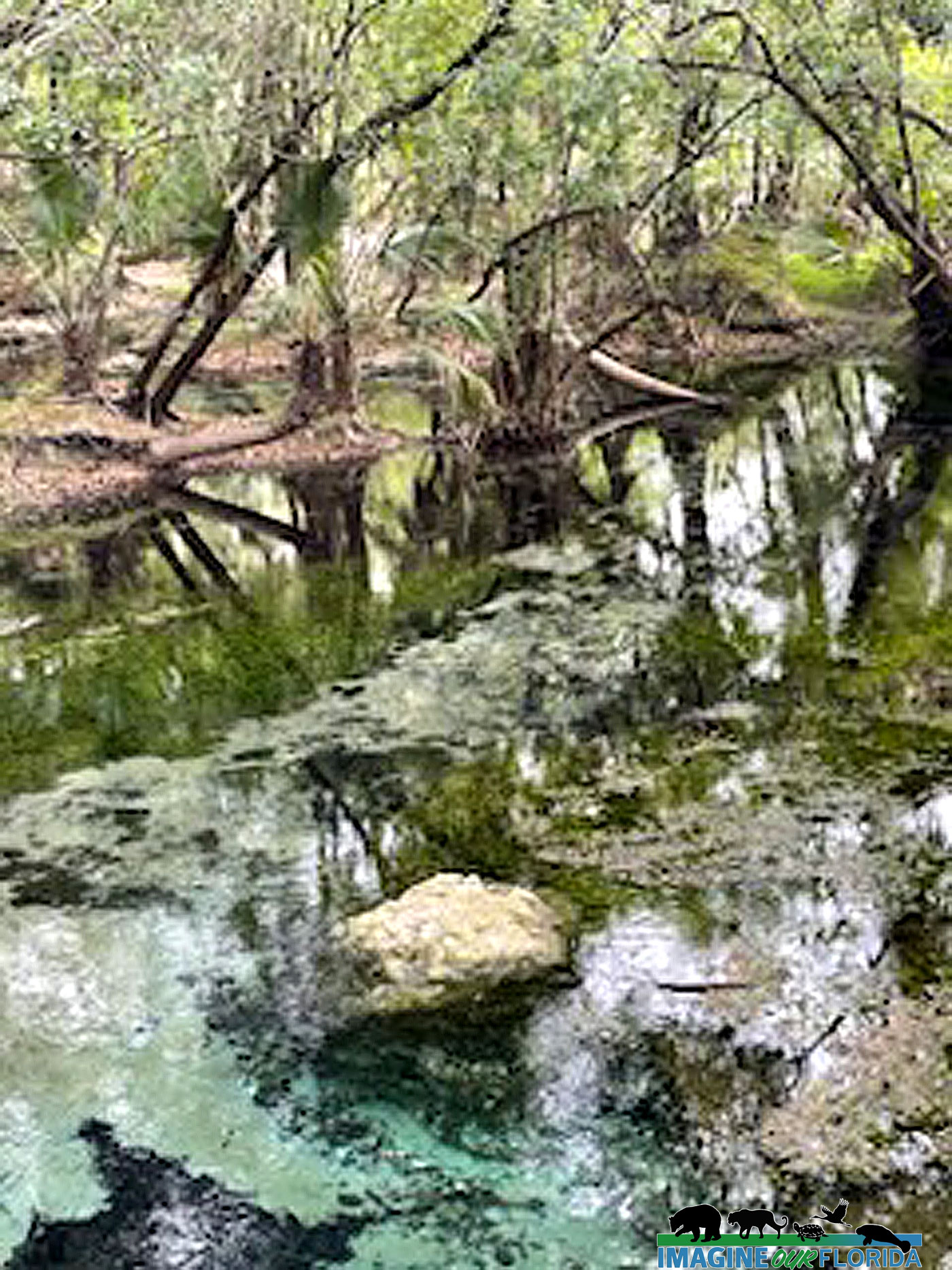
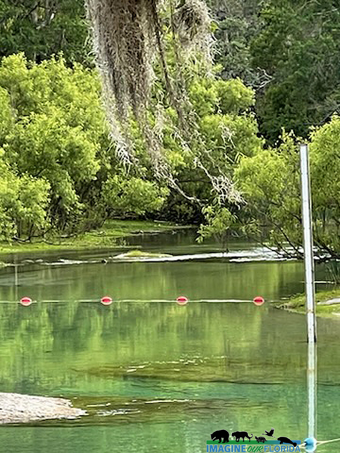
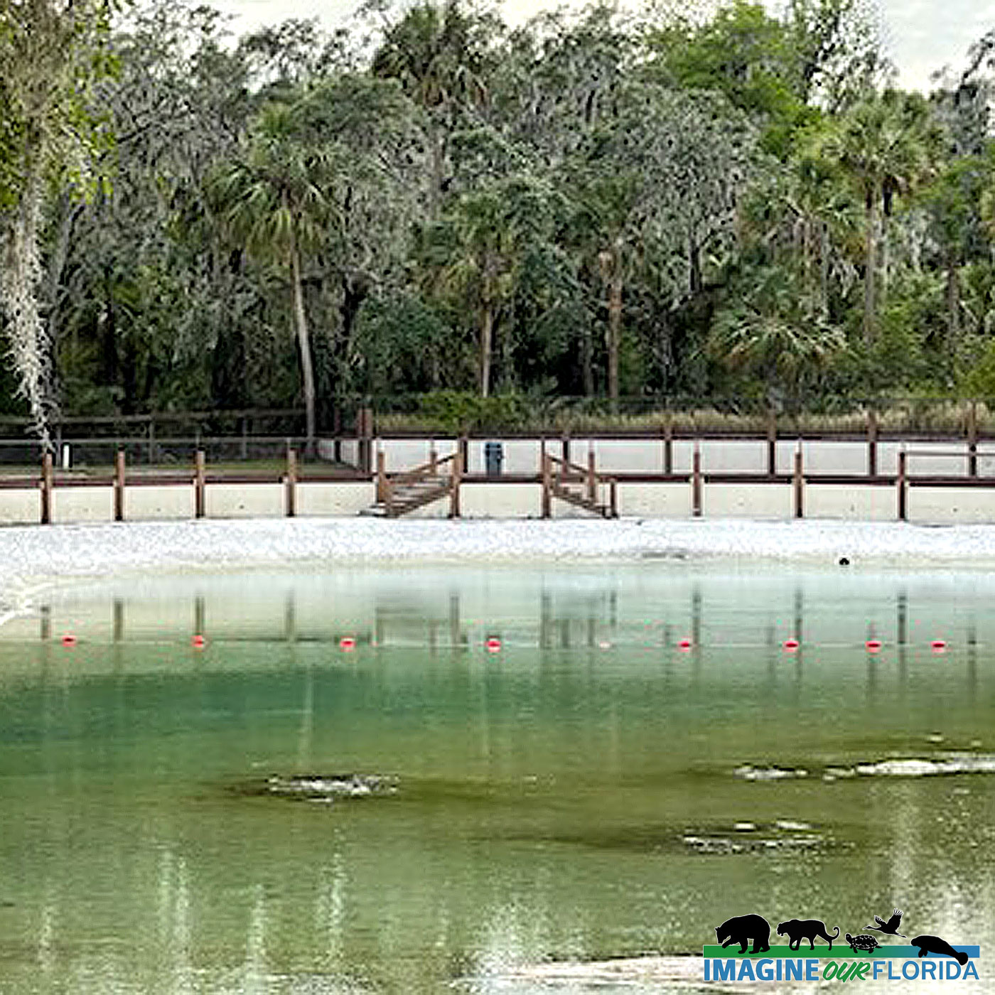
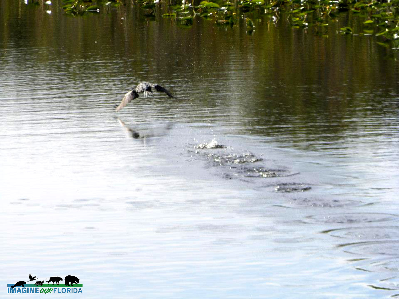
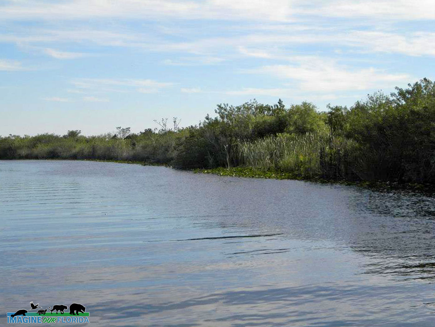
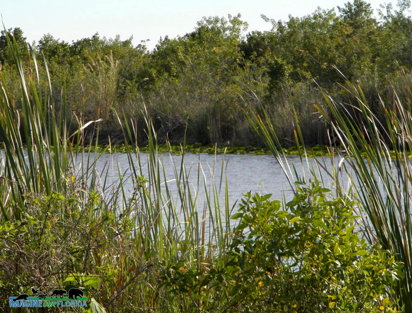
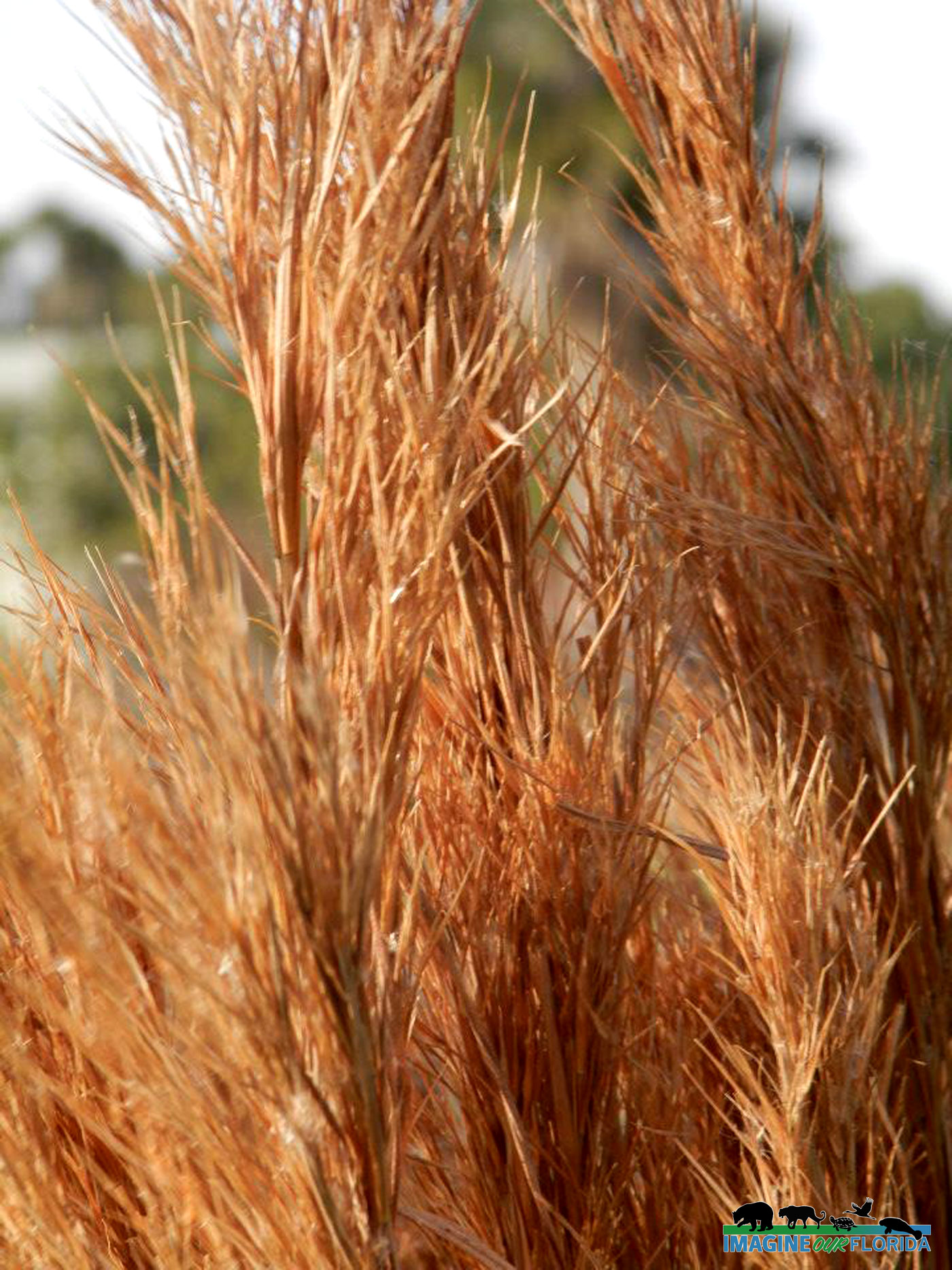
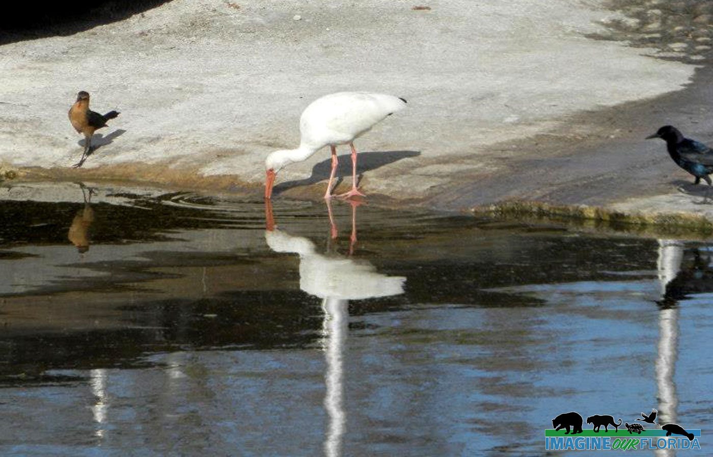
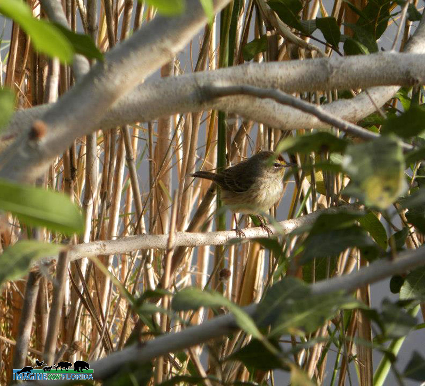
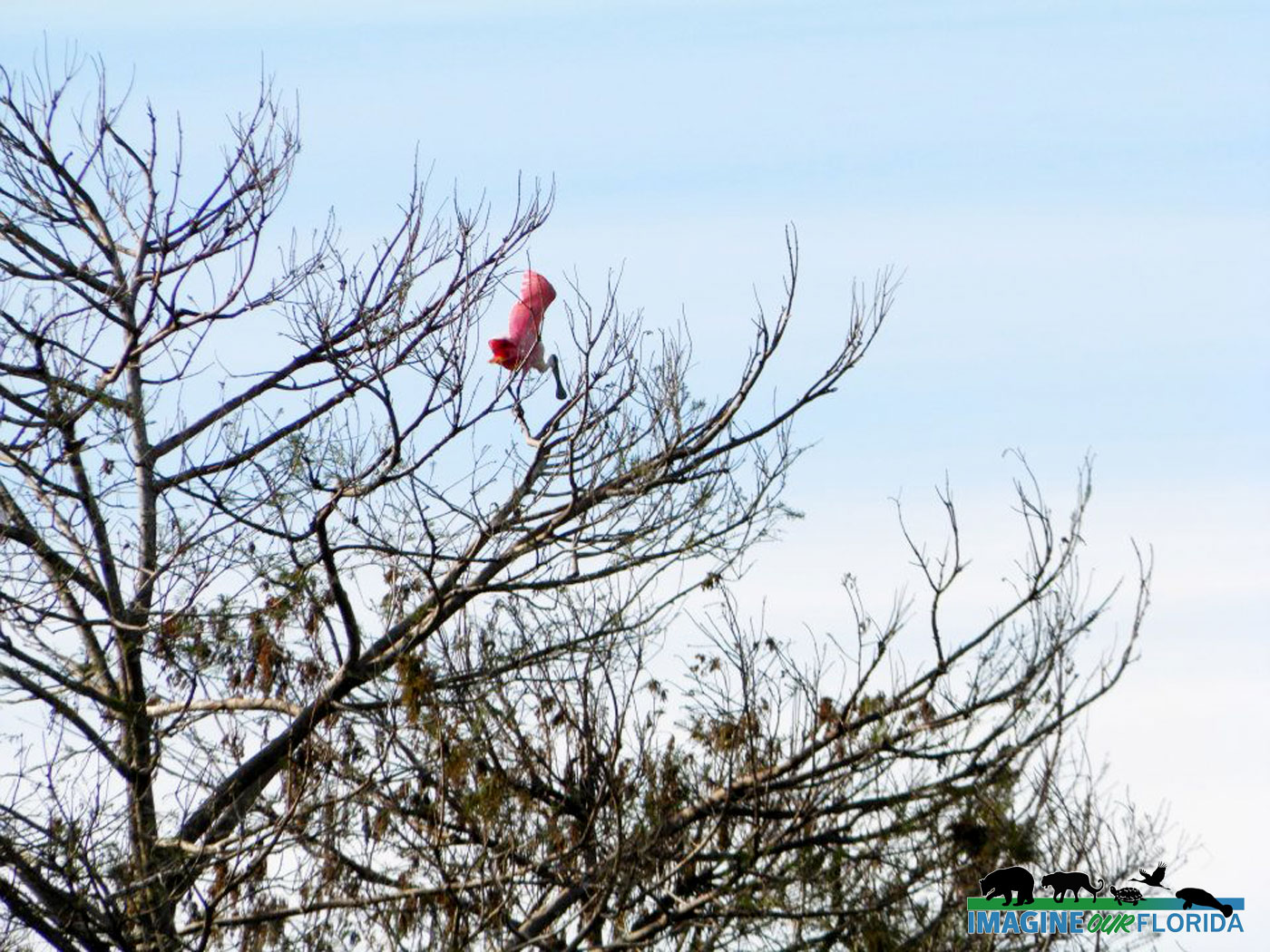
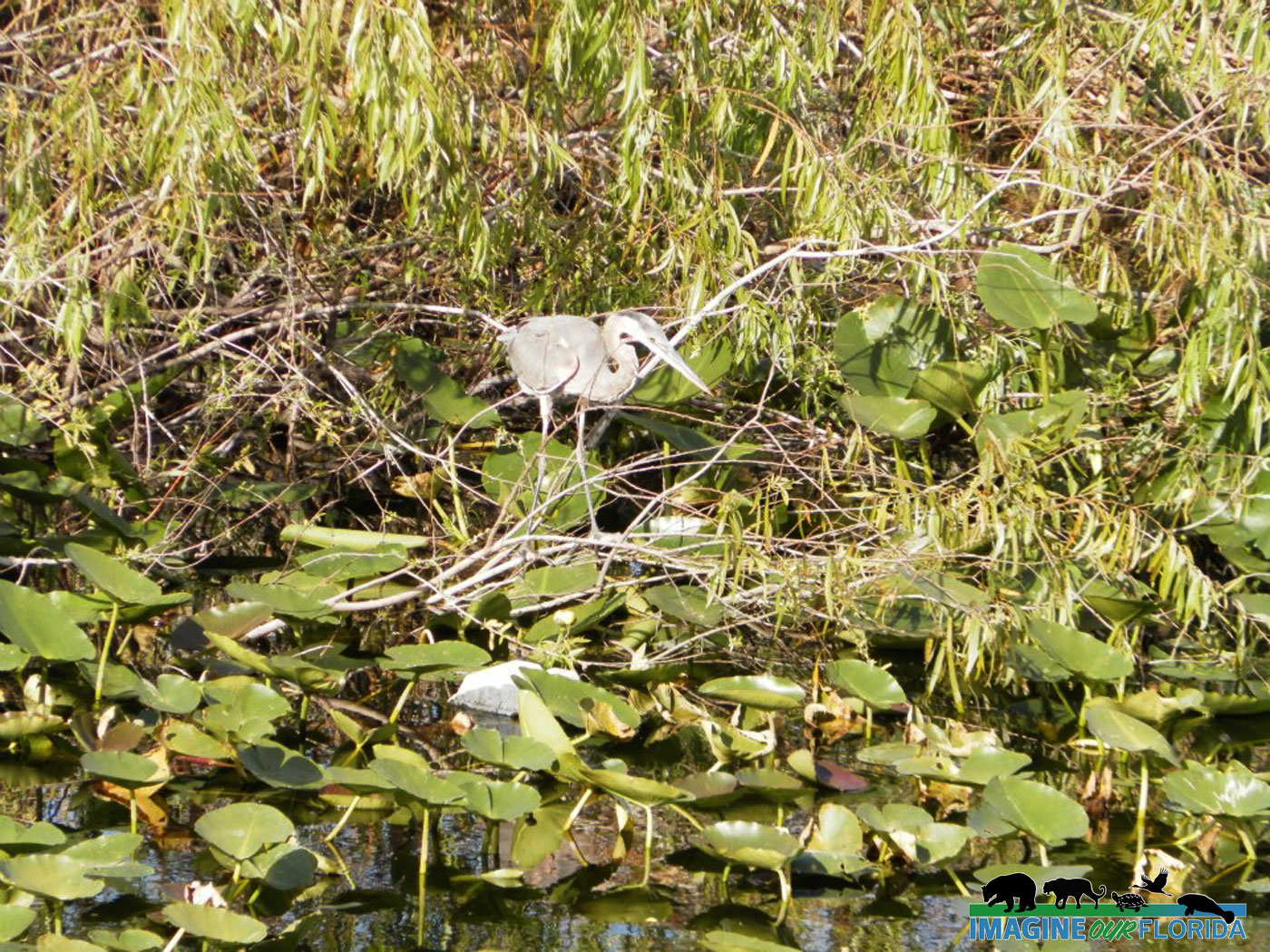
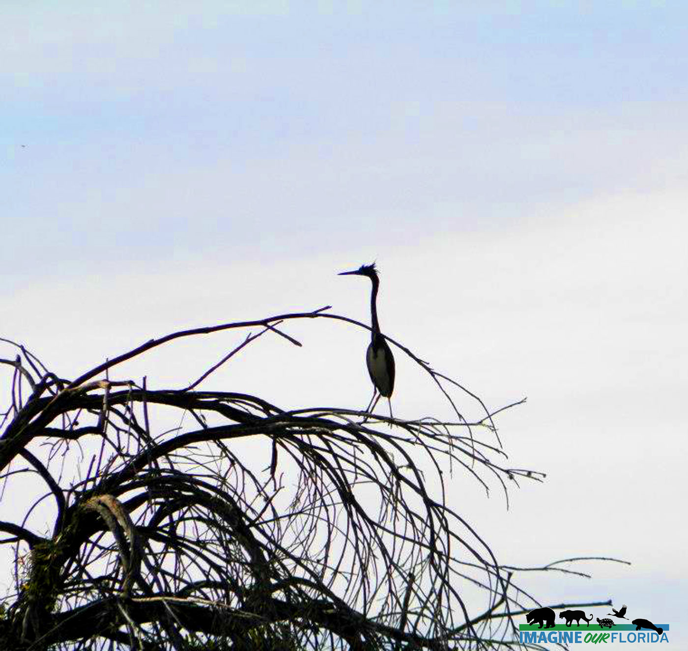
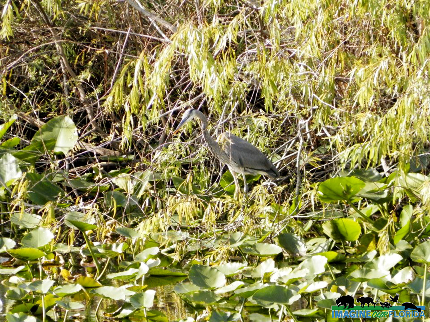
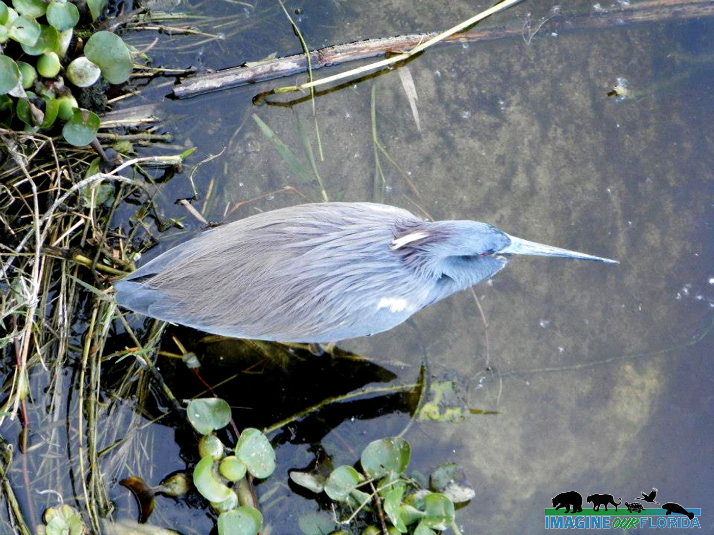
The south trail is found across the street from the parking area and rakes you to one of the largest AIS Indian mounds in South Florida that dates back to pre-ceramic time! This trail can be tricky as it goes into wetter terrain. A short boardwalk is surrounded by saltbush and willow. Keep an eye and ear for the multitude of songbirds. As you wander deeper into this “urban wilderness, ” remember the ground might be wet and muddy in places. There are two more boardwalks/bridges that take you over wetland lakes. This is a trail that you really should keep an eye on the plants as well. It is easy to overlook things like the patches of sundews on the side of the trail, patches of lichens, and wild orchids.
County officials ask the public not to climb the mound and only use the trail around it. “The problem is, every time you go up on it, you erode it,” Thompson said. “You cause the sand to slide down.”
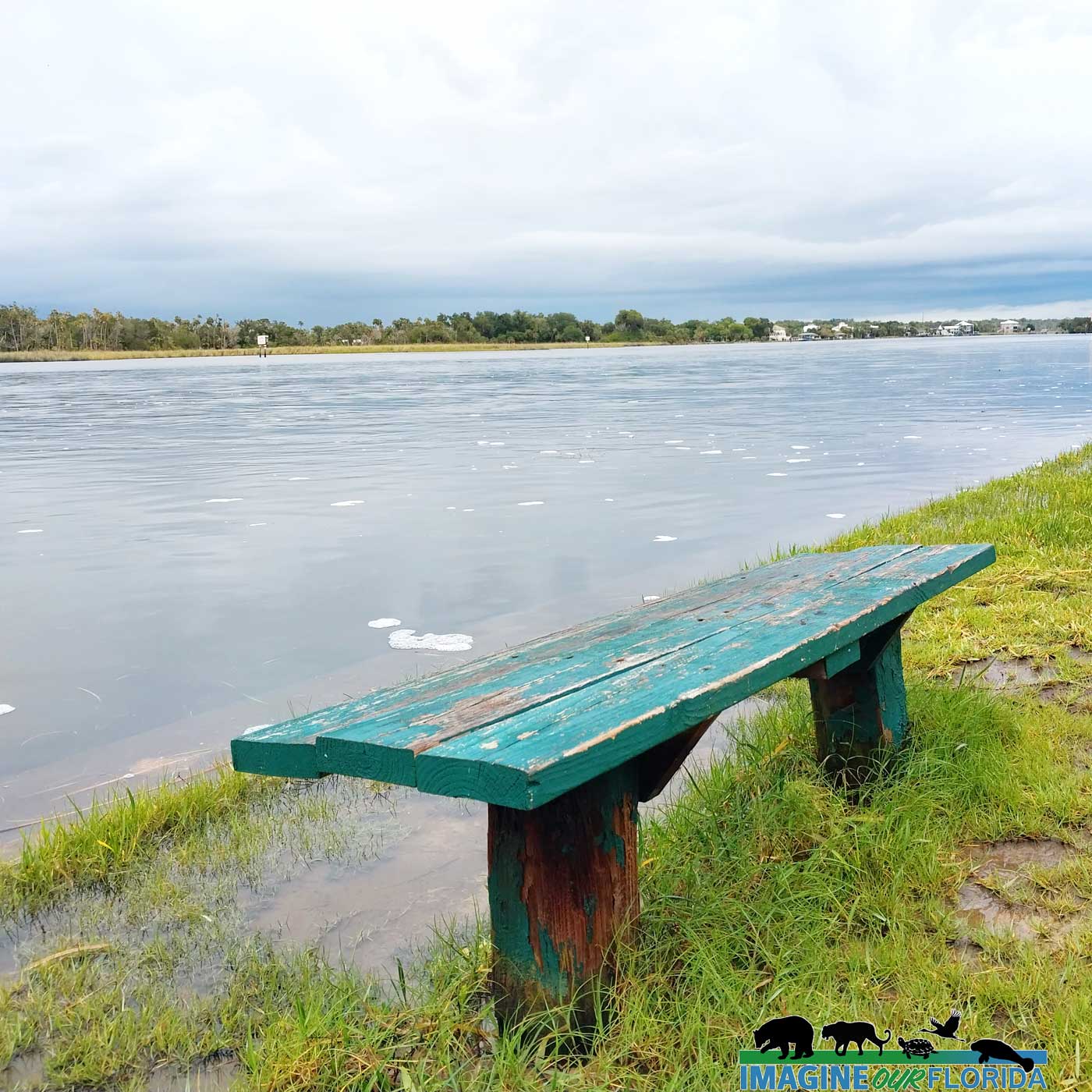
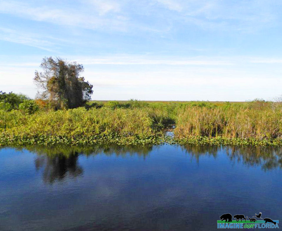
Both trails are easy to walk, especially on the north side. It is simply natural Florida at its best. With its mixture of upland and wetlands, including large bodies of water with bridges over them, we can’t see the land as it used to be when the Ais and pioneer people walked there. This site is a place that takes you back to a reminder of what the wilderness must have been like for the early settlers.
“It’s actually my favorite site because it’s been so touched by people and abandoned by people at the same time,” Thompson said. “It’s a vicious cycle of snapshots of who used to be there.” Amanda Thompson is the senior lands stewardship and outreach coordinator for the St. Lucie County Environmental Resources Department.
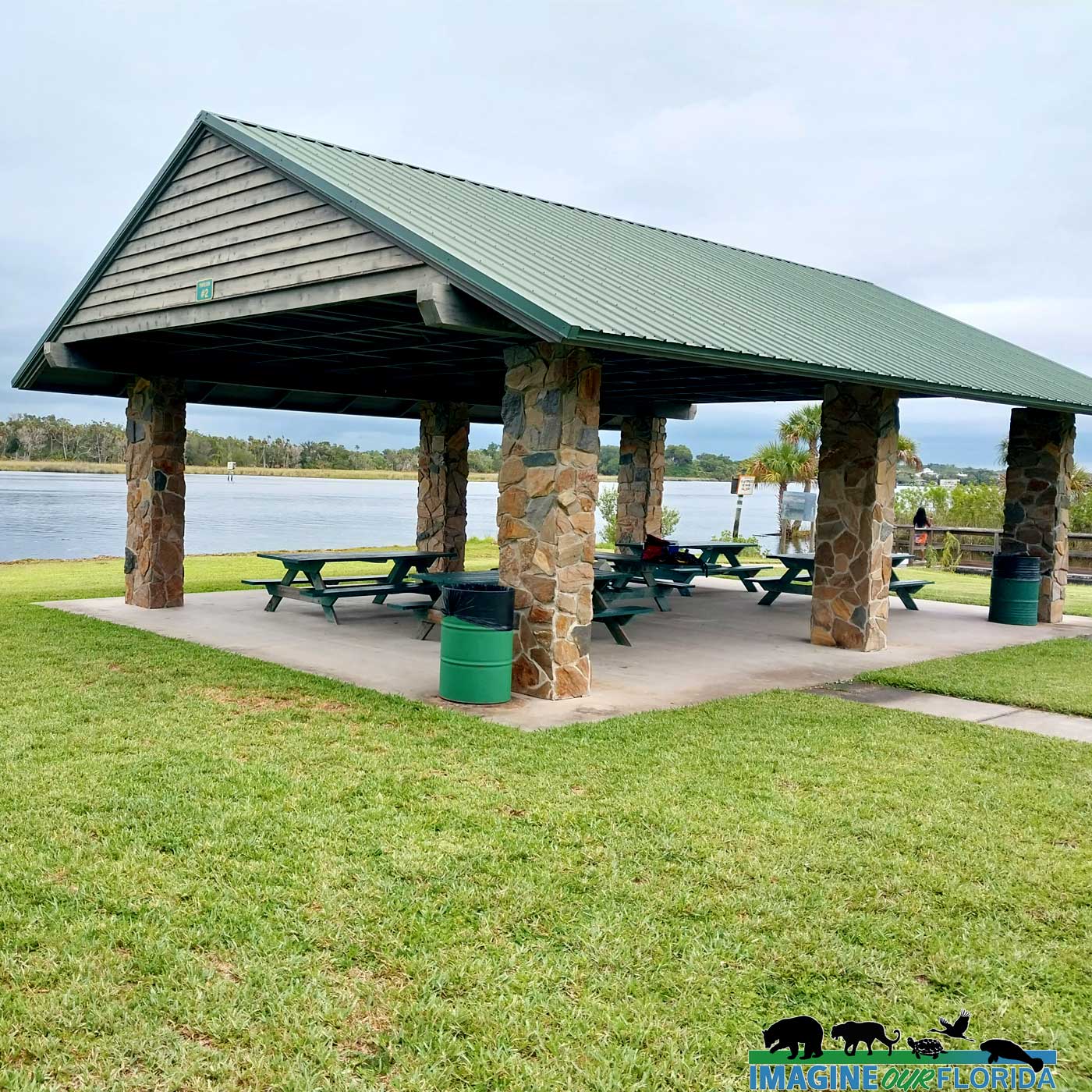
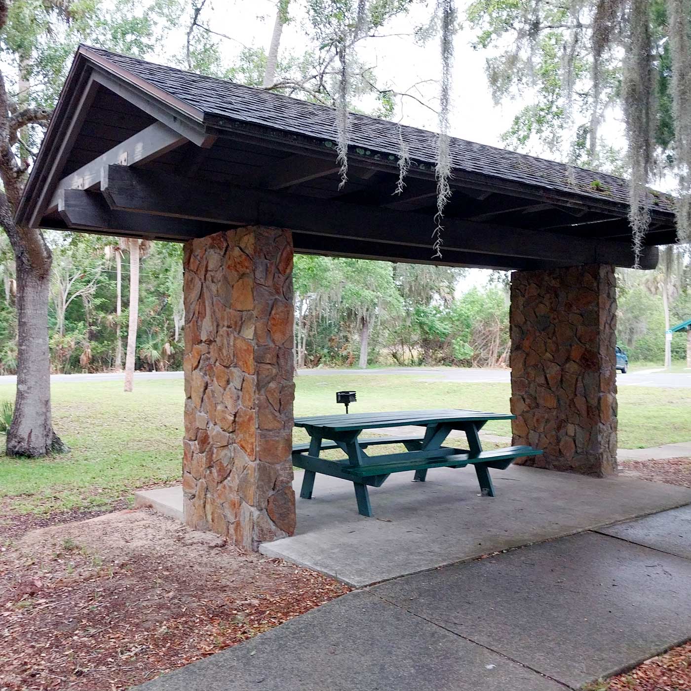
Amenities:
Hiking Trails
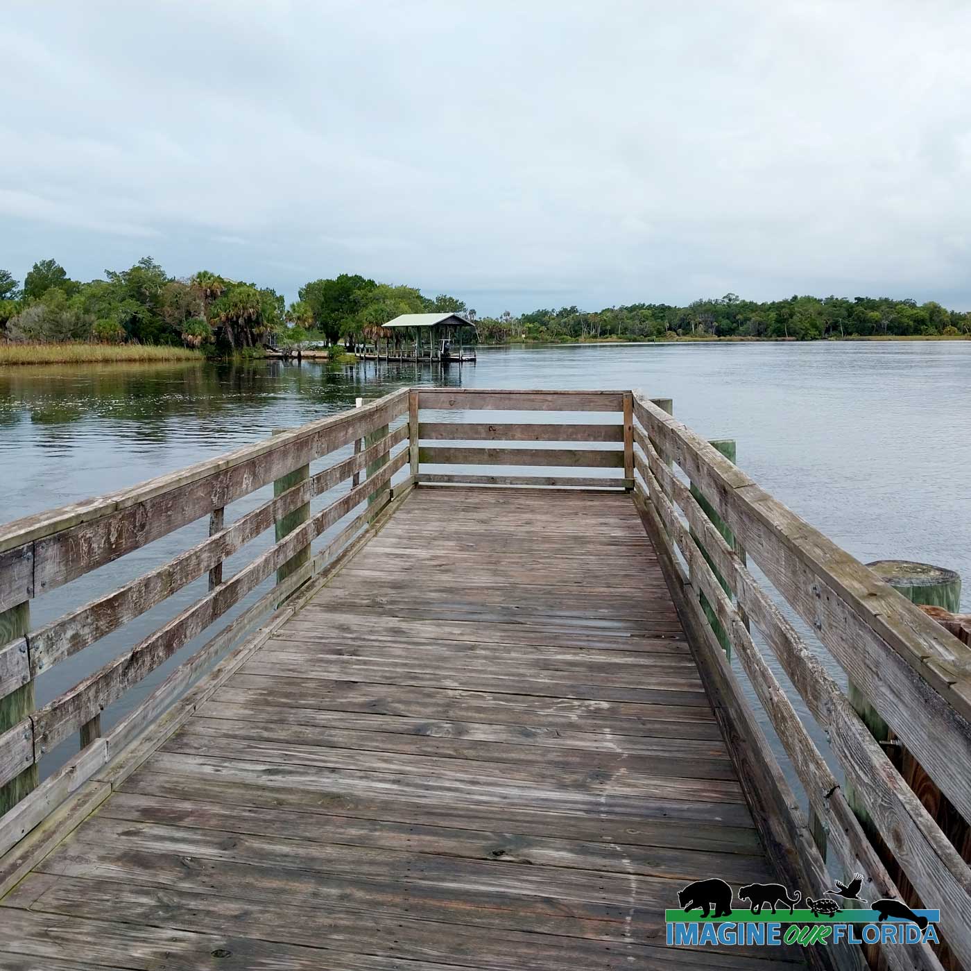
Boardwalks/ Bridges
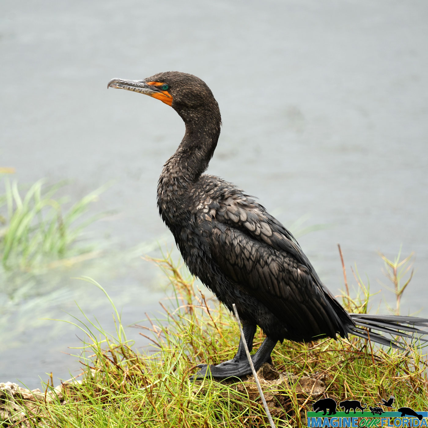
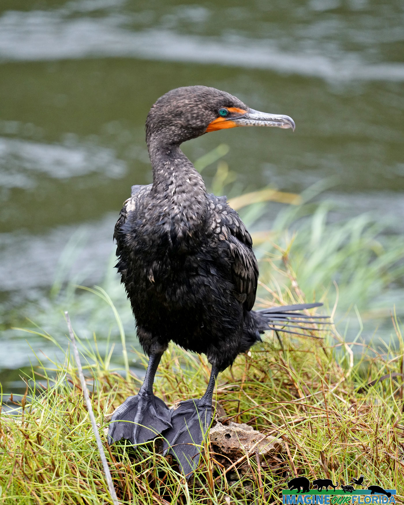
Wildlife Viewing
Native American Midden
Historic Interests
Information Kiosk
Parking Area
Interpretive Signage
Observation Areas
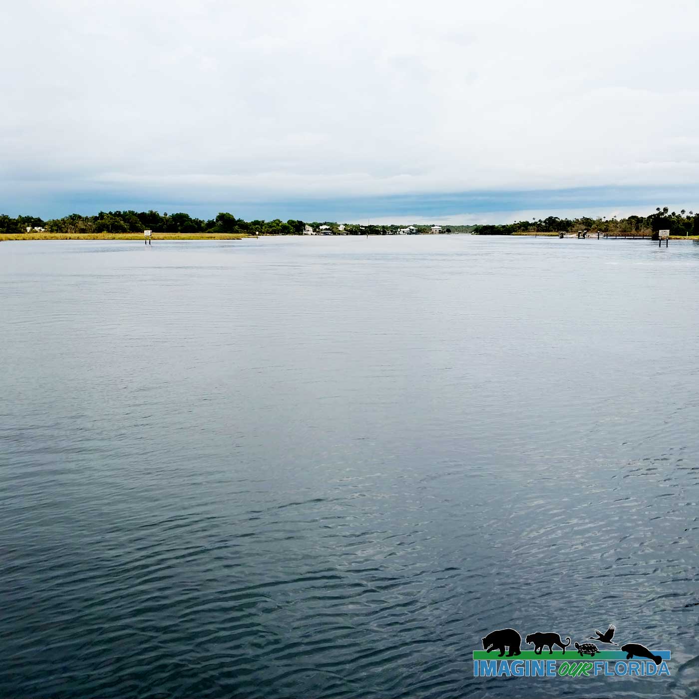
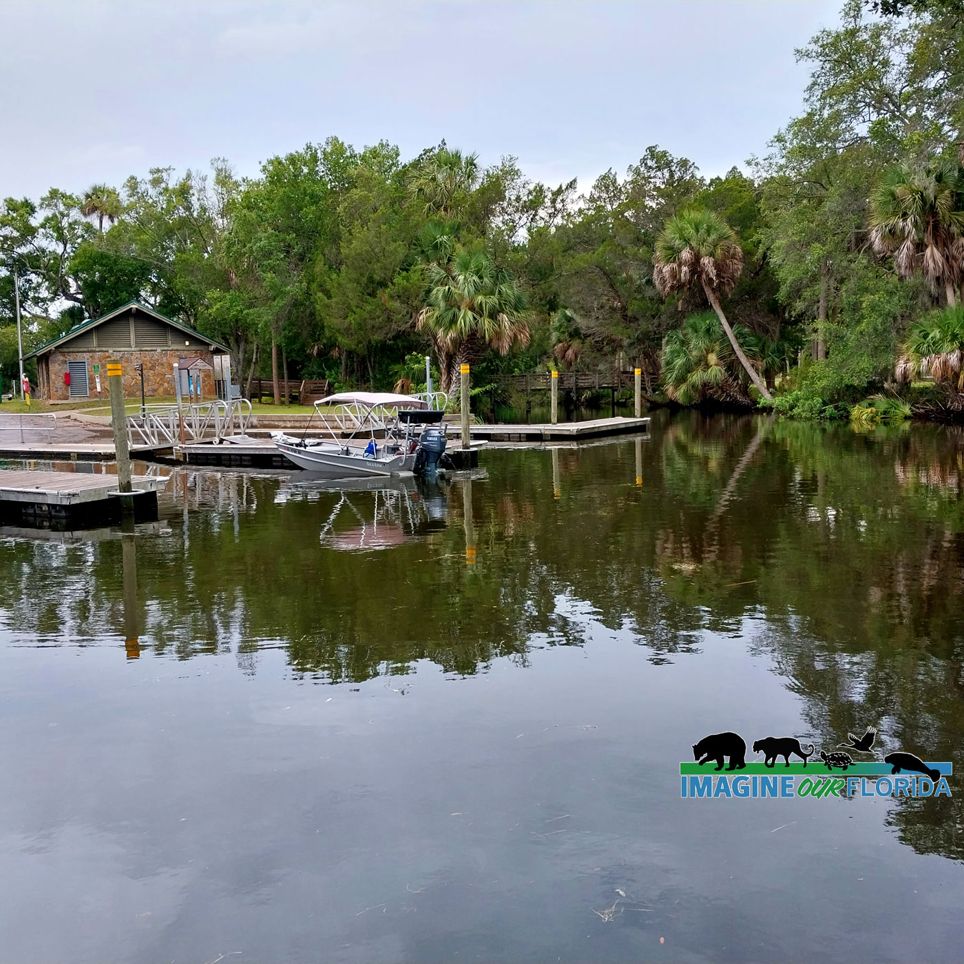
Canoe Access
Address: 611 SE Dar Lane, Port St. Lucie, 34984
**Also accessible by canoe from the North Fork of the St. Lucie River.
For more information: https://www.stlucieco.gov/…/count…/spruce-bluff-preserve
Author and Photo Credit: Bobby Putnam


Recent Comments