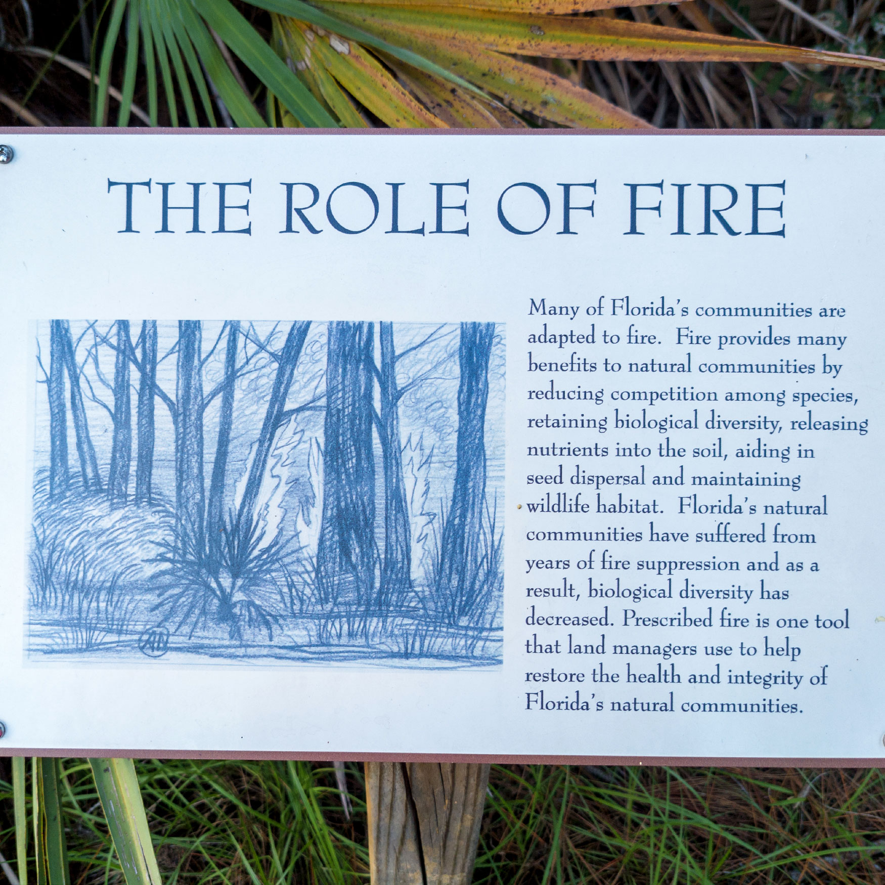
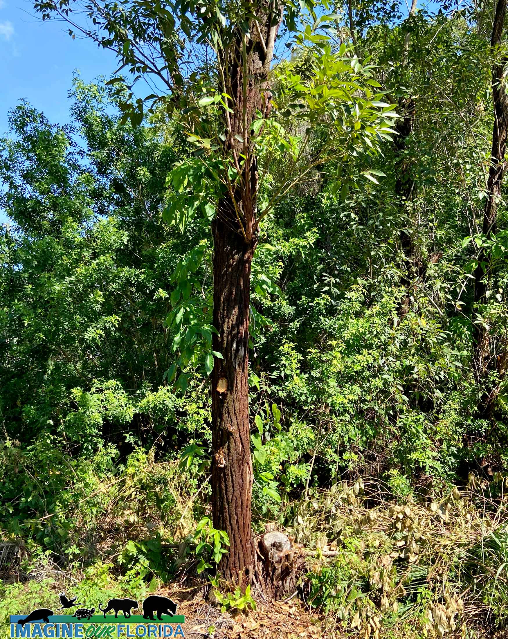
Before being logged at least seven times, the area near the gulf coast in Dixie and Levy counties was made up of swamps and lush forests. In the 20th century, a few people realized the monetary value the land could yield and planted non-native pines in rows for easy harvesting. The native wildlife and wild plants suffered when their natural ecosystems were destroyed to make way for the timber industry.
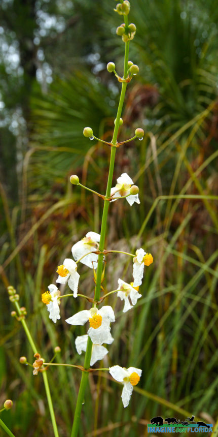
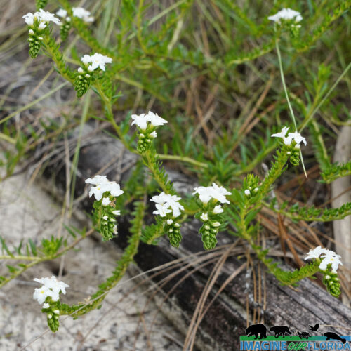
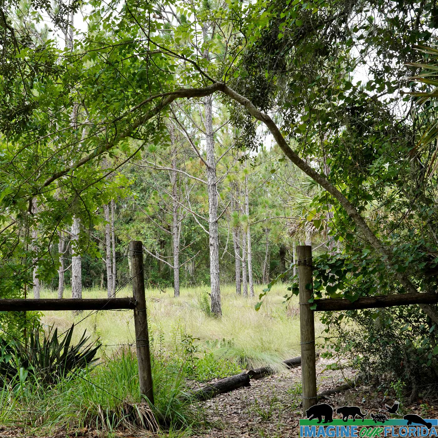
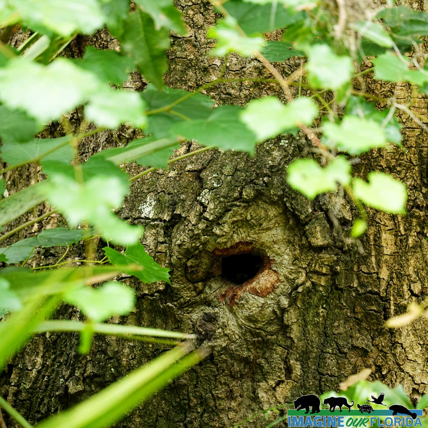
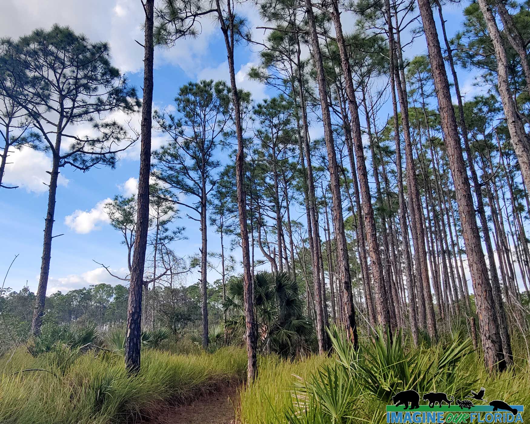
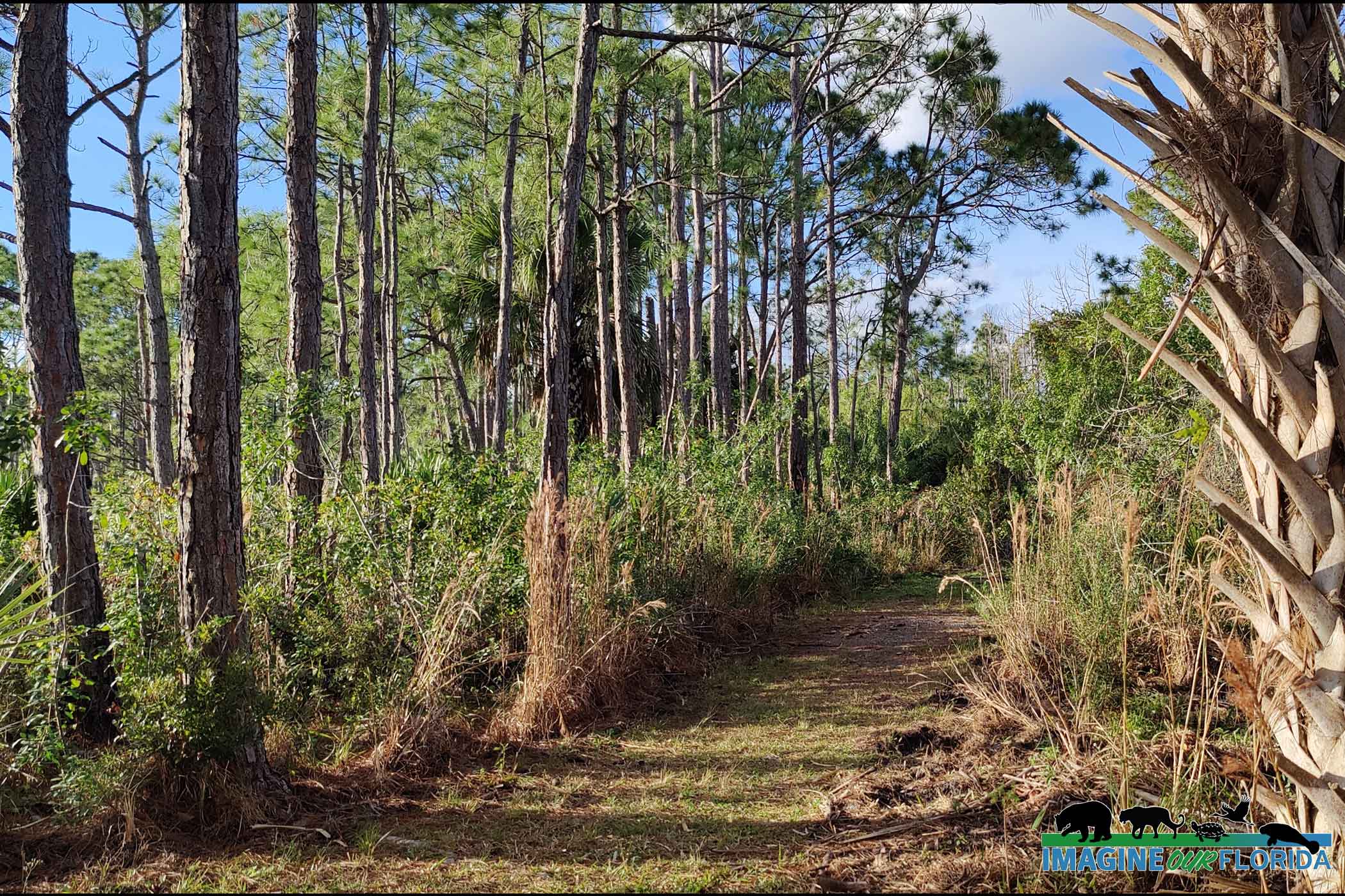
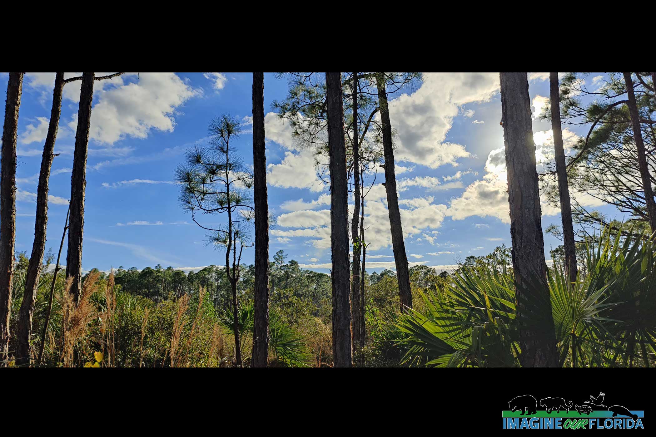
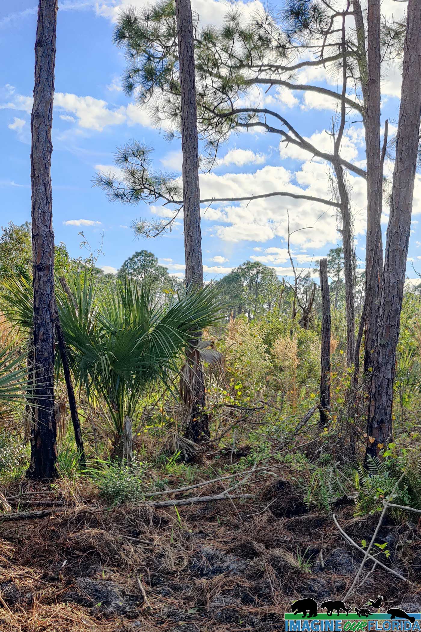
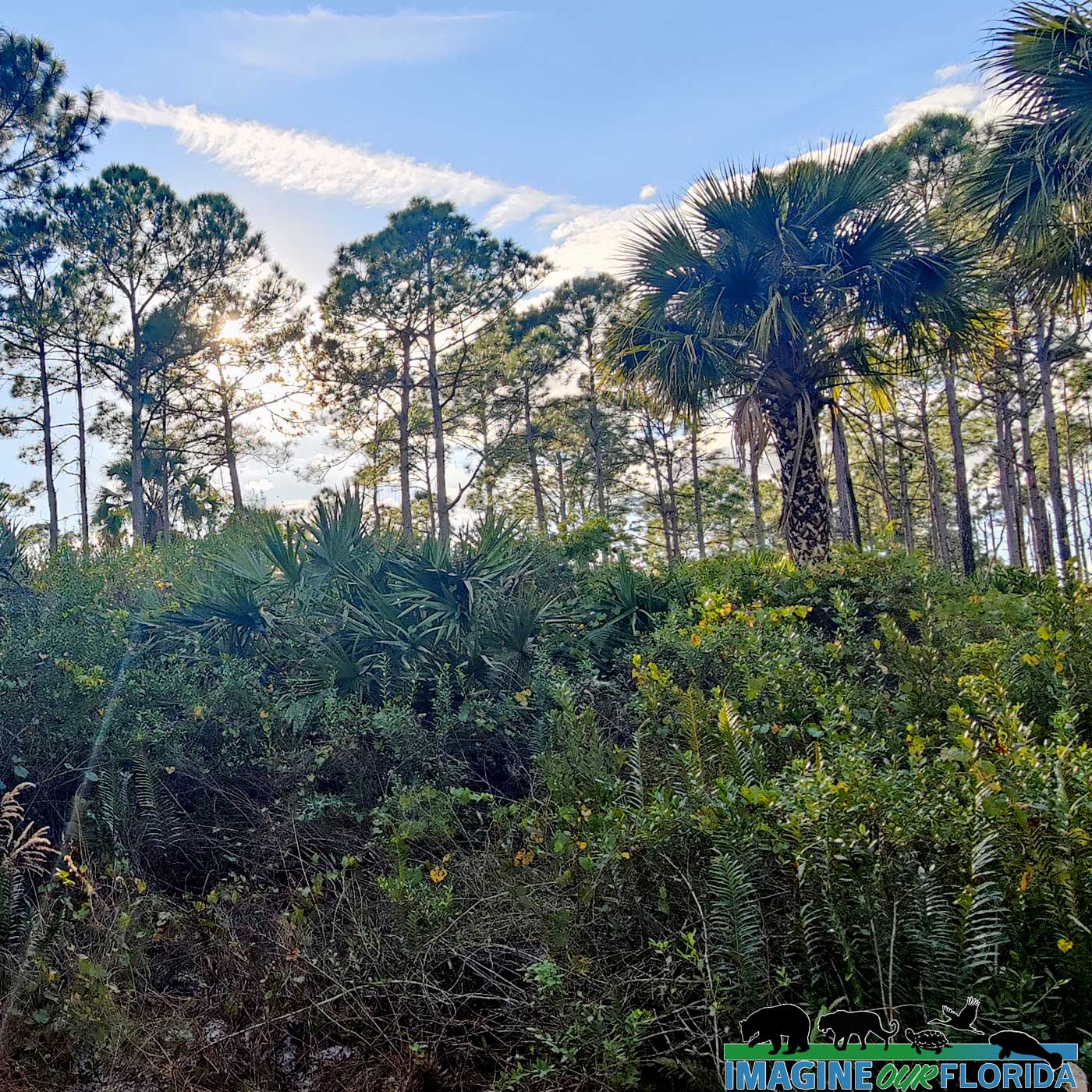
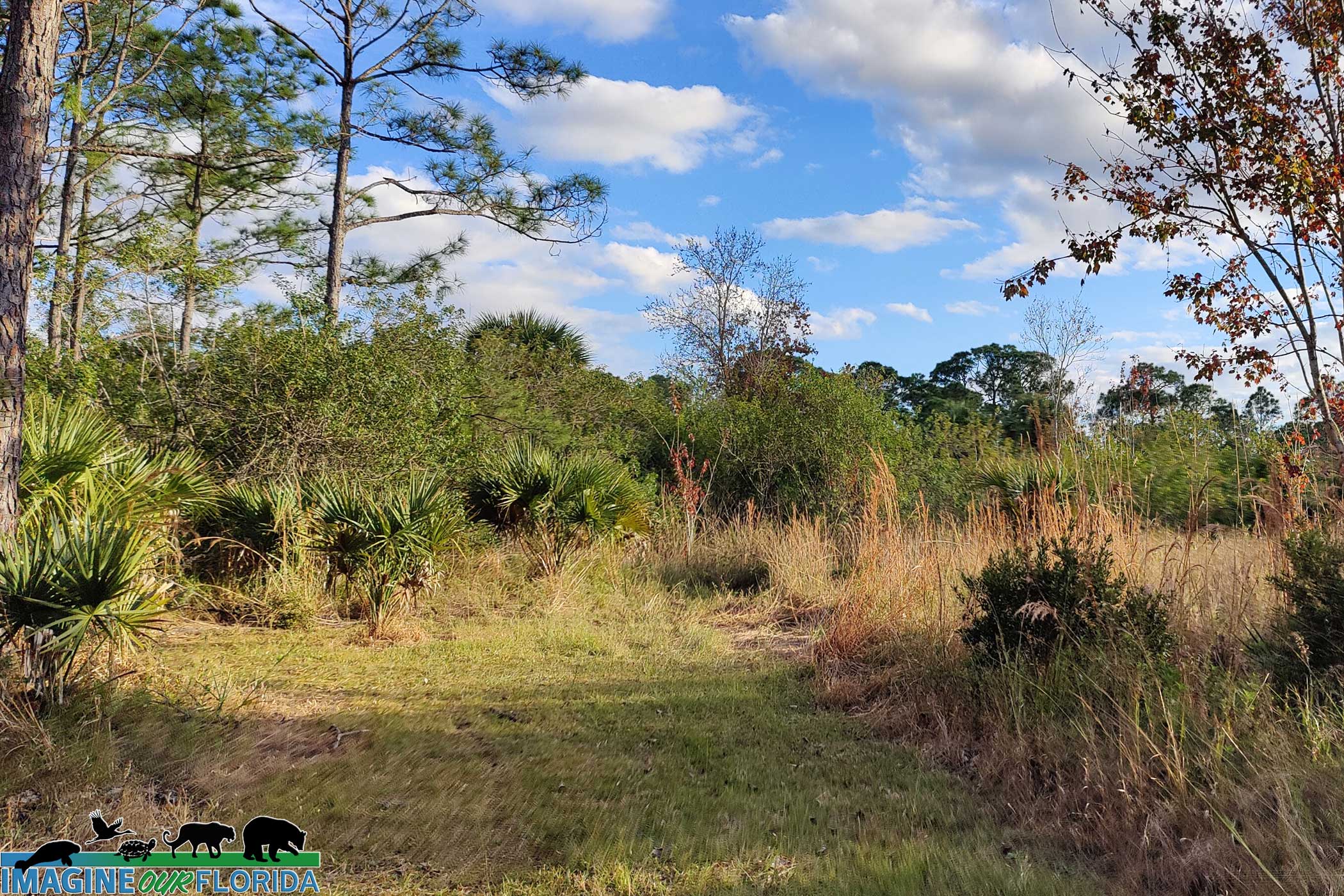
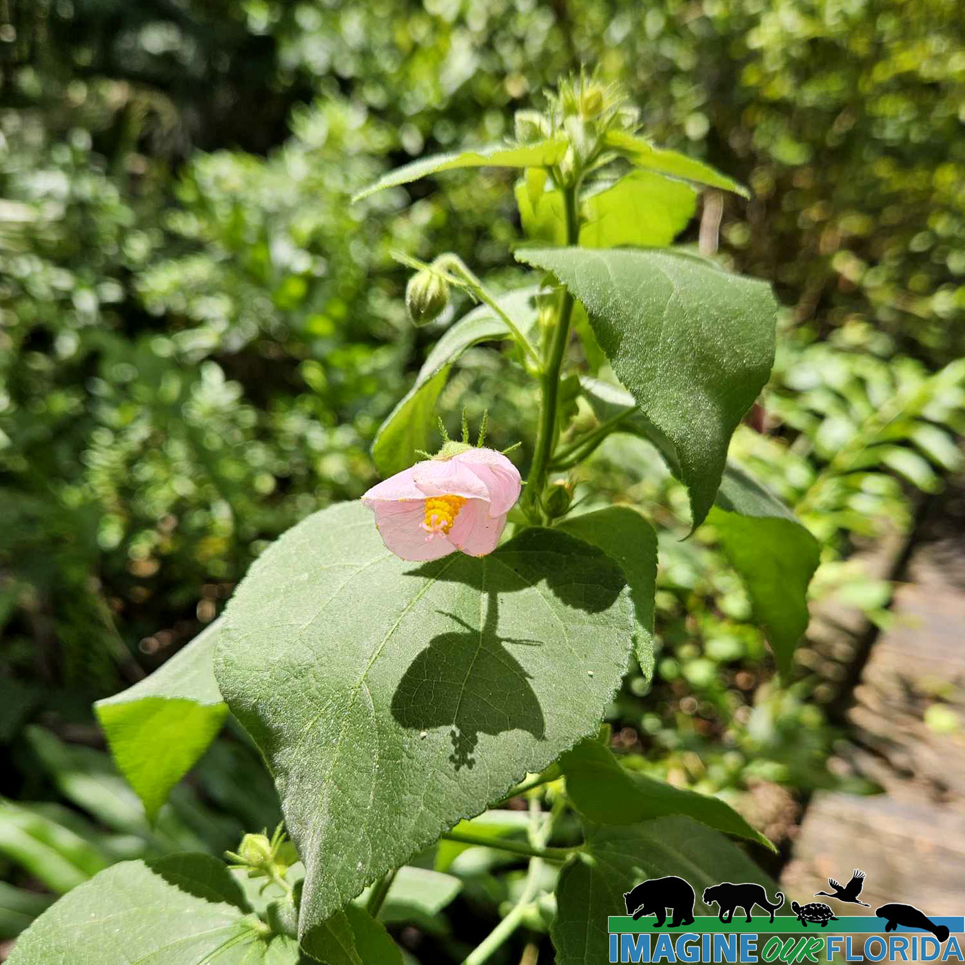
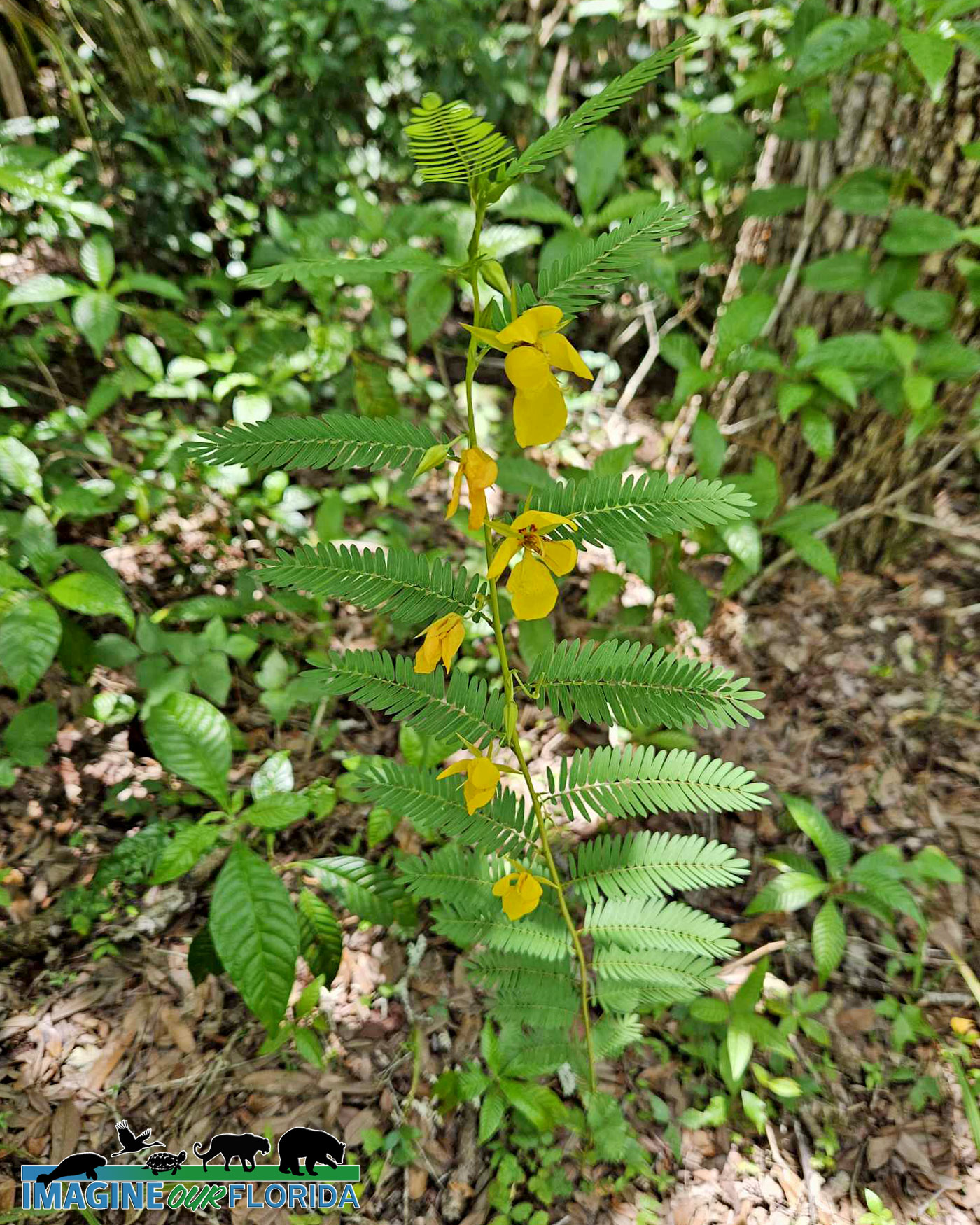
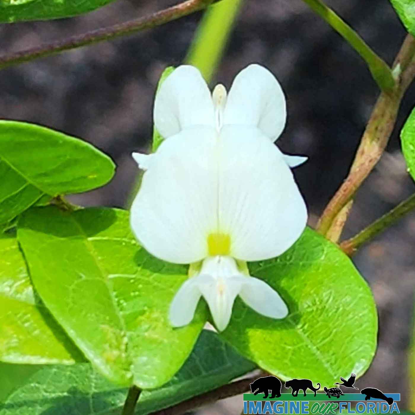
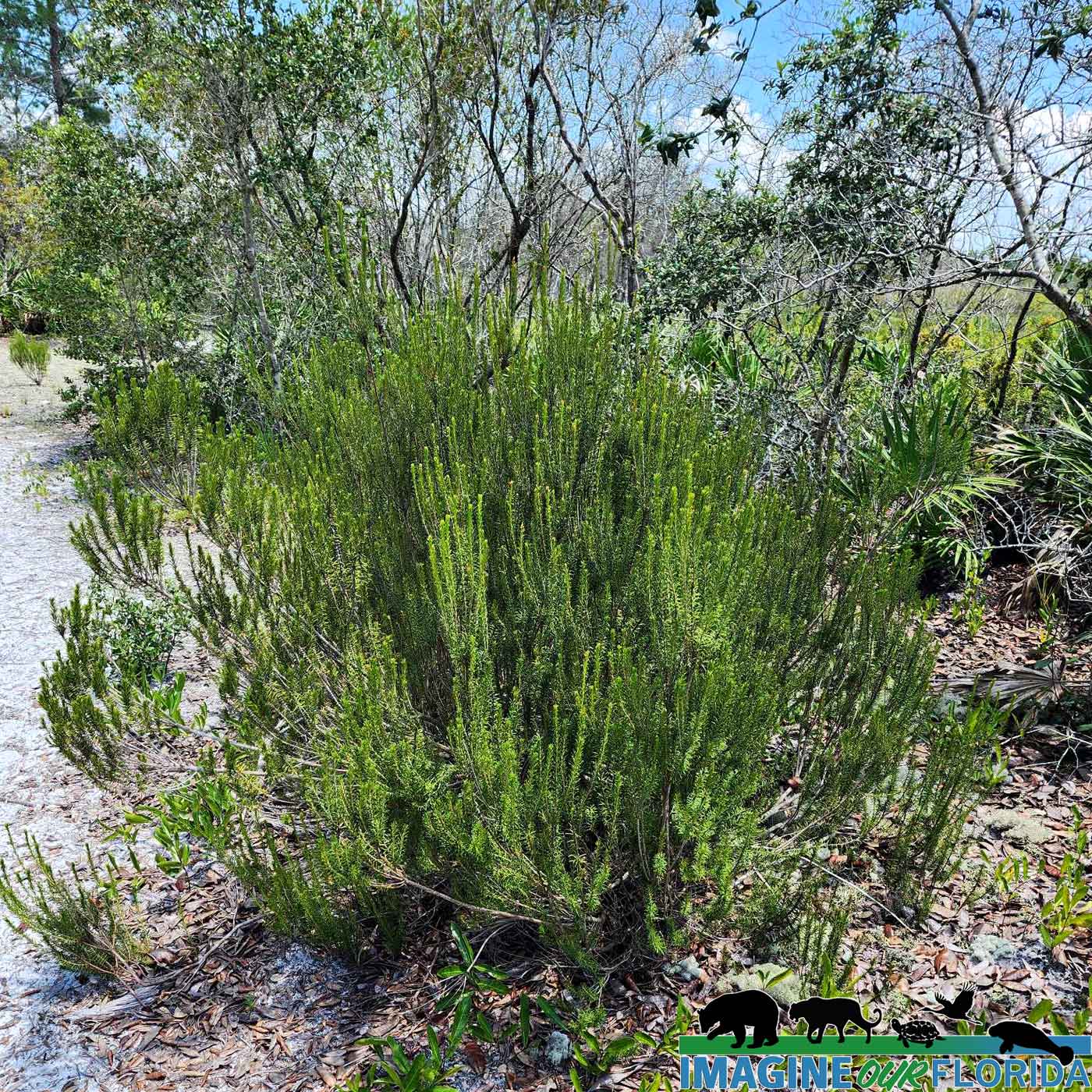
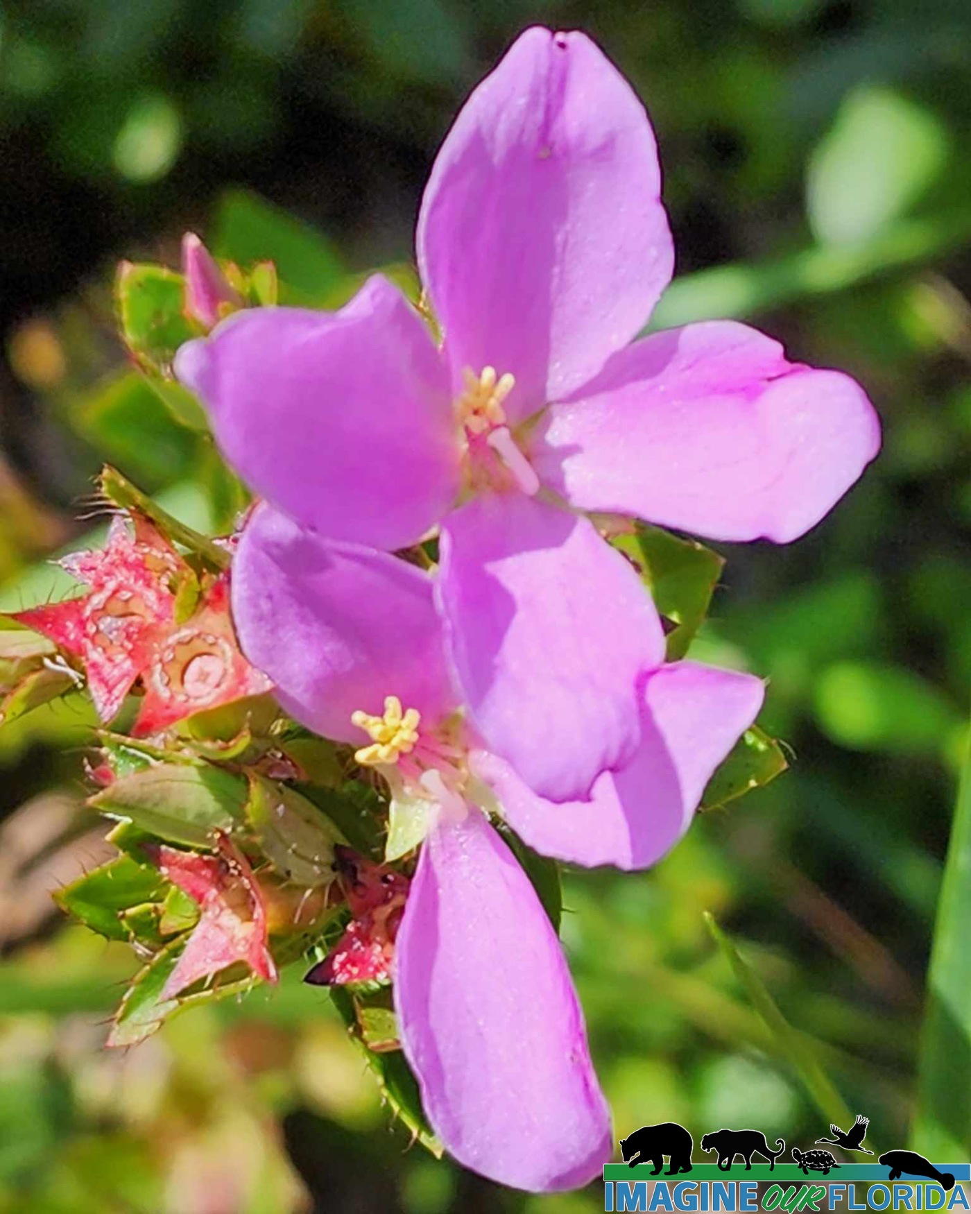
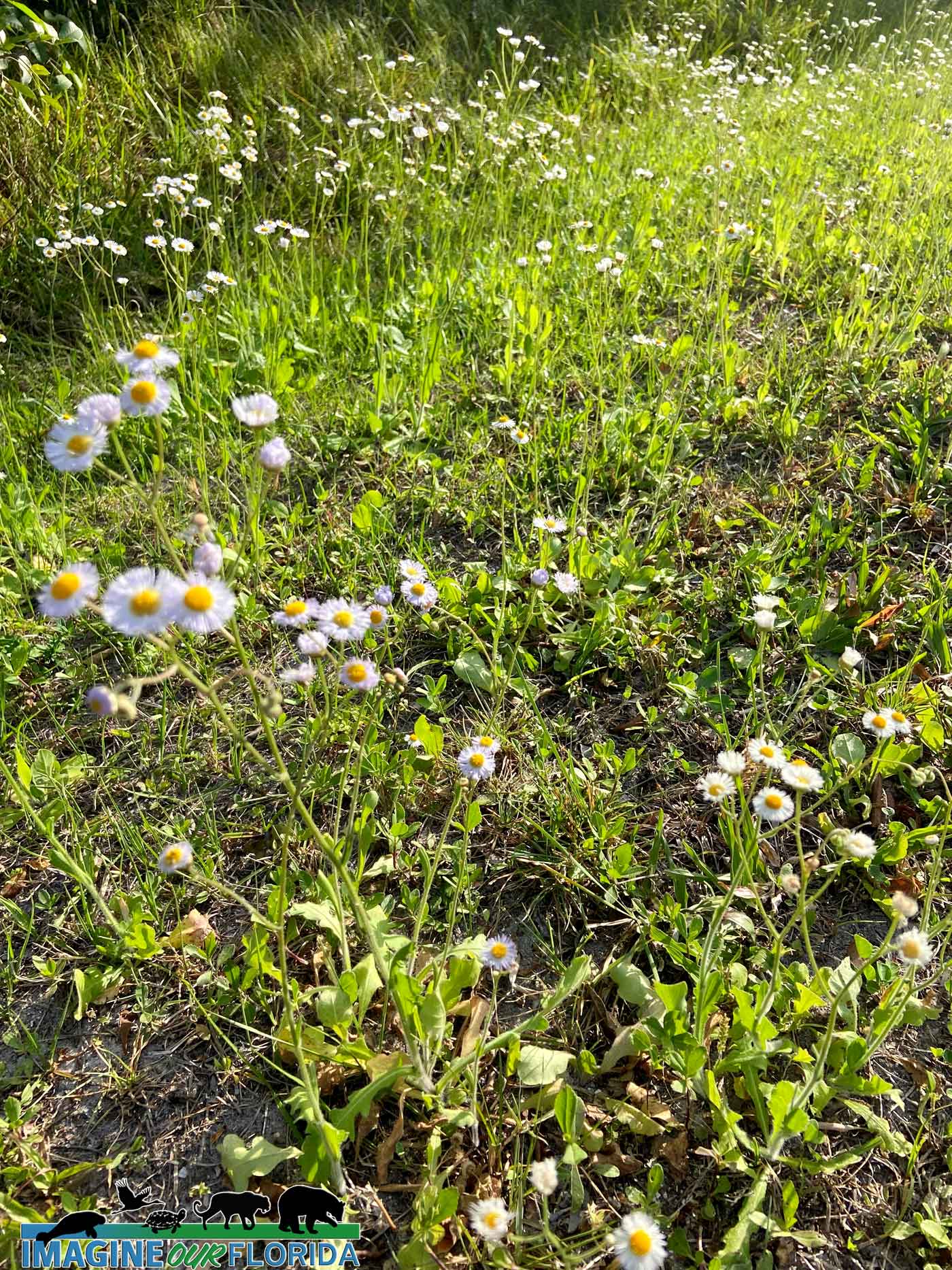
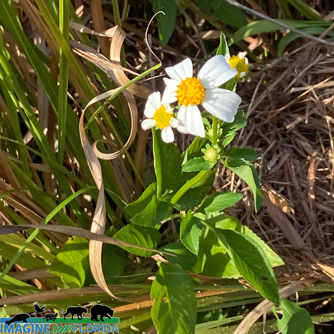
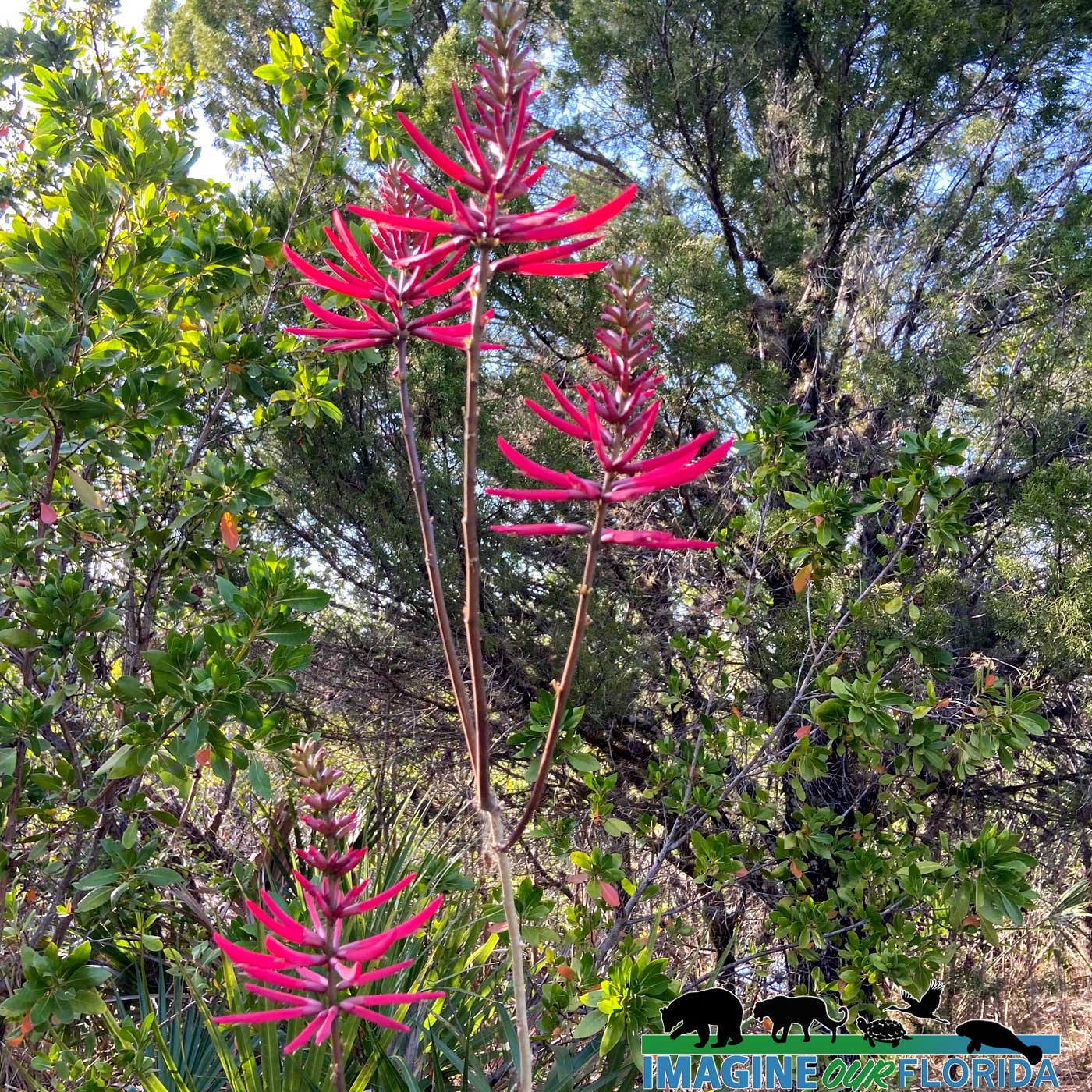
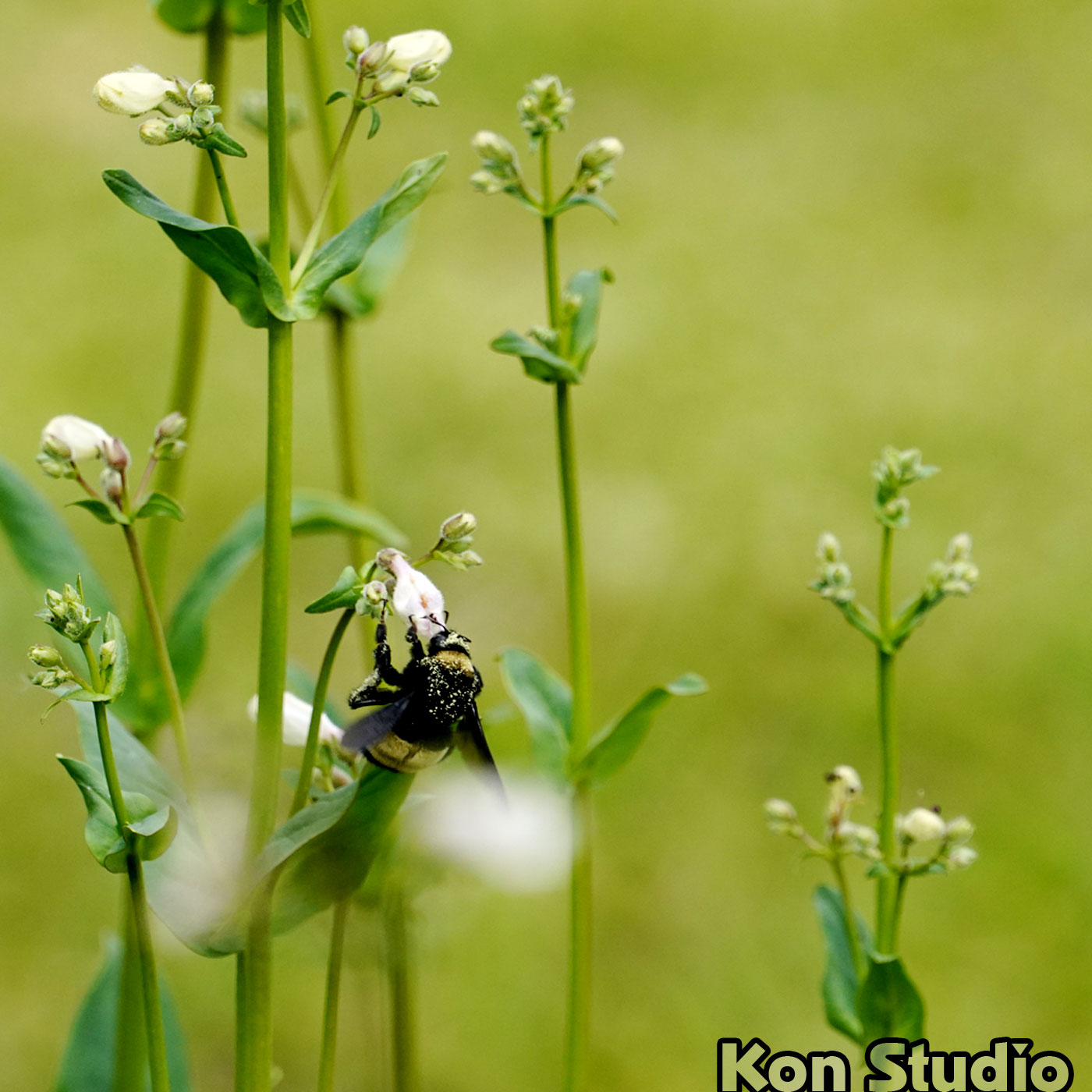
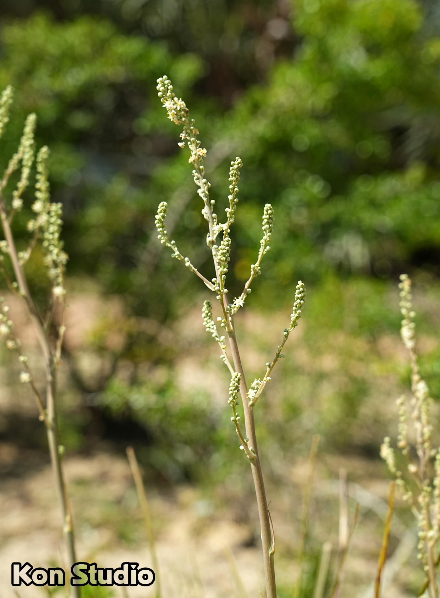
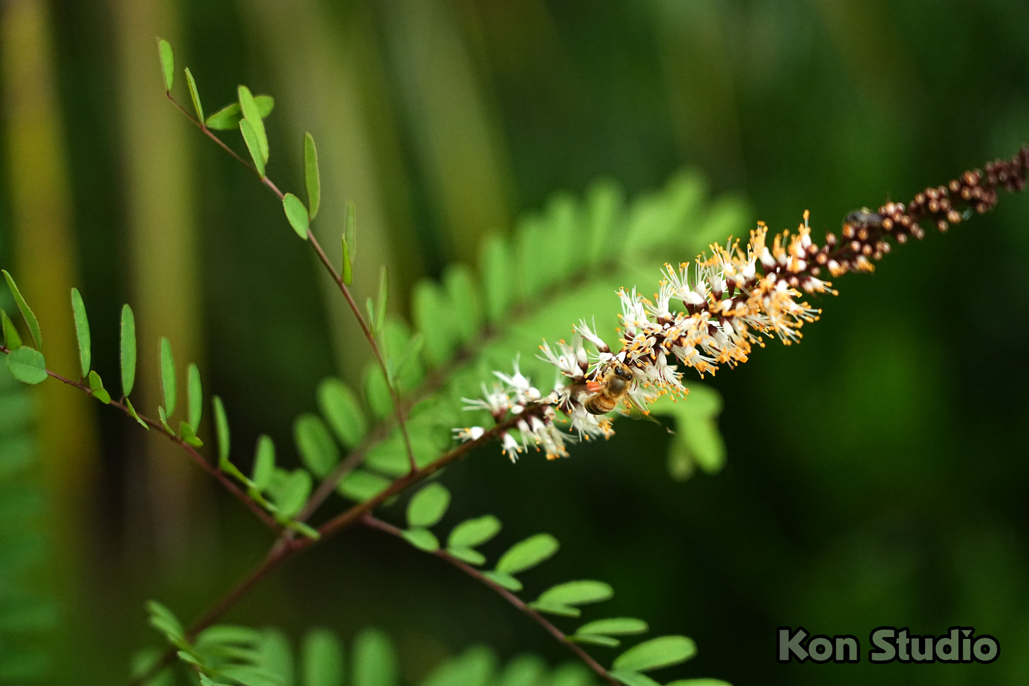
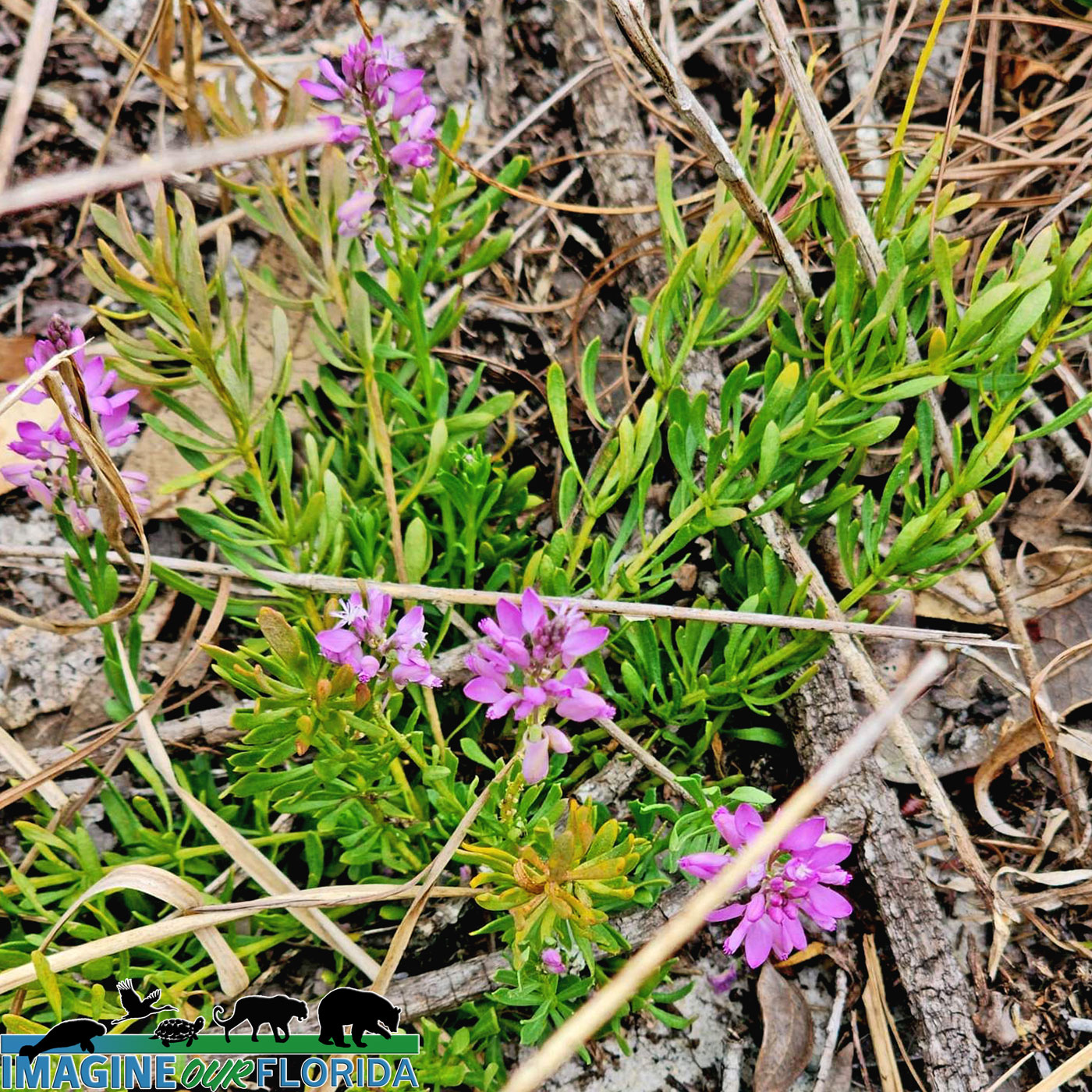
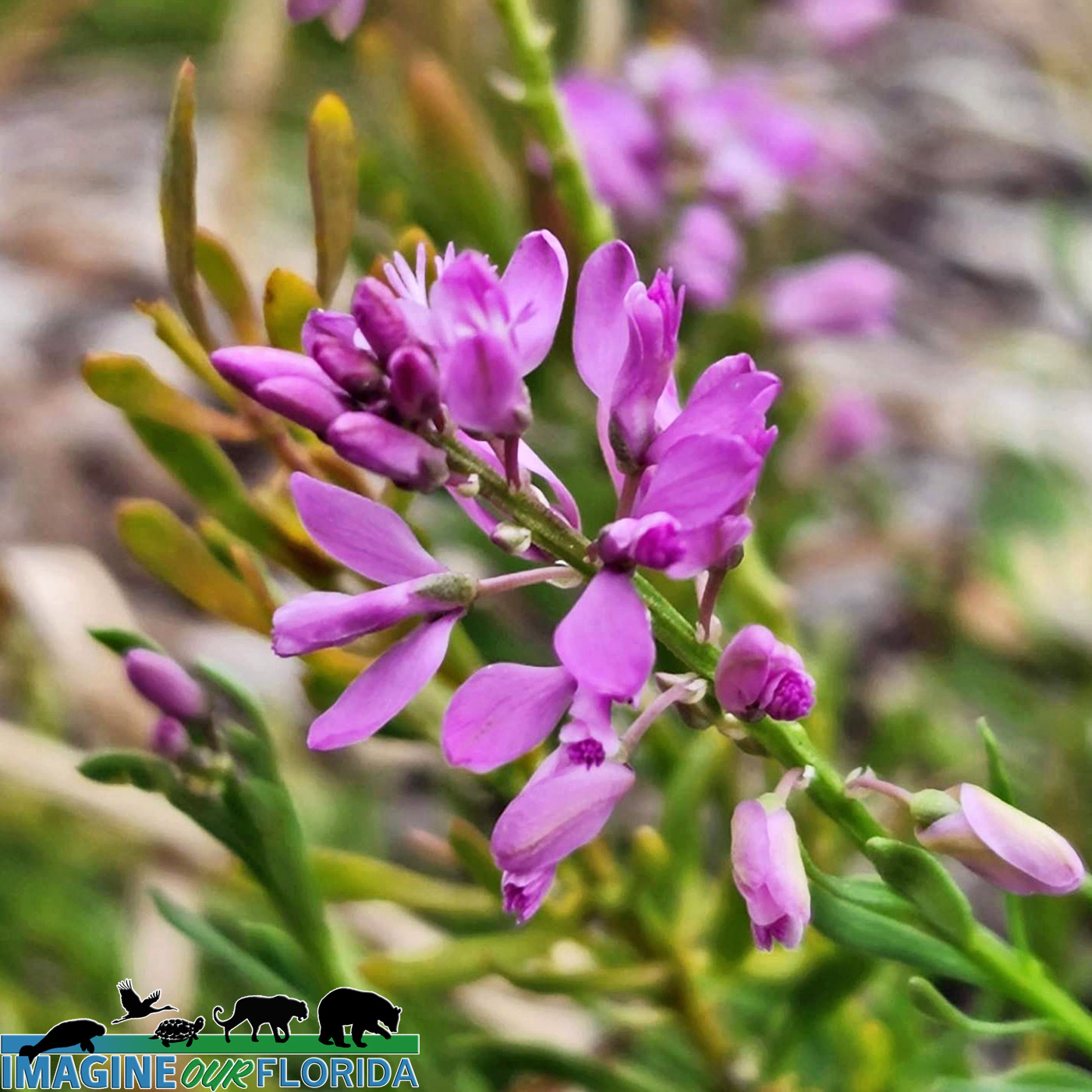
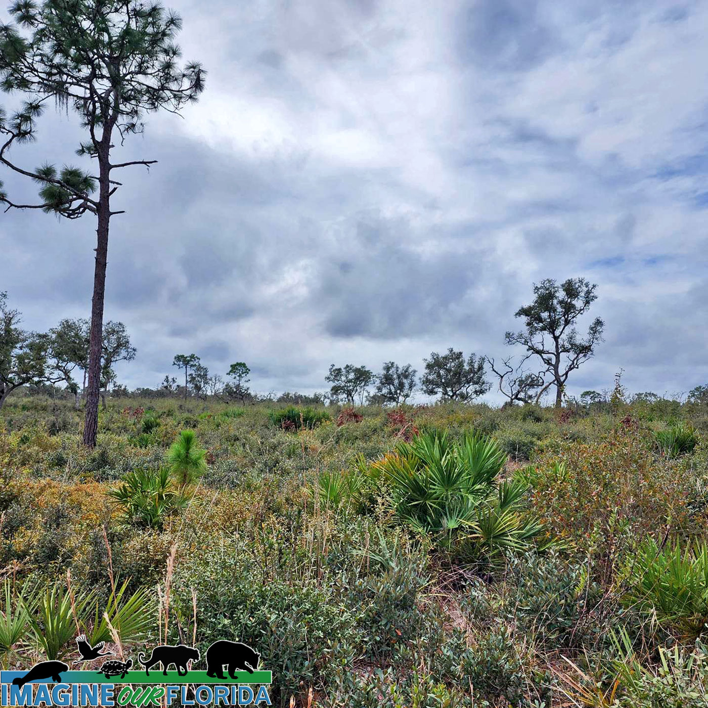
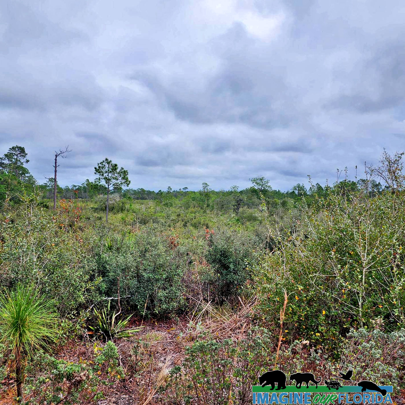
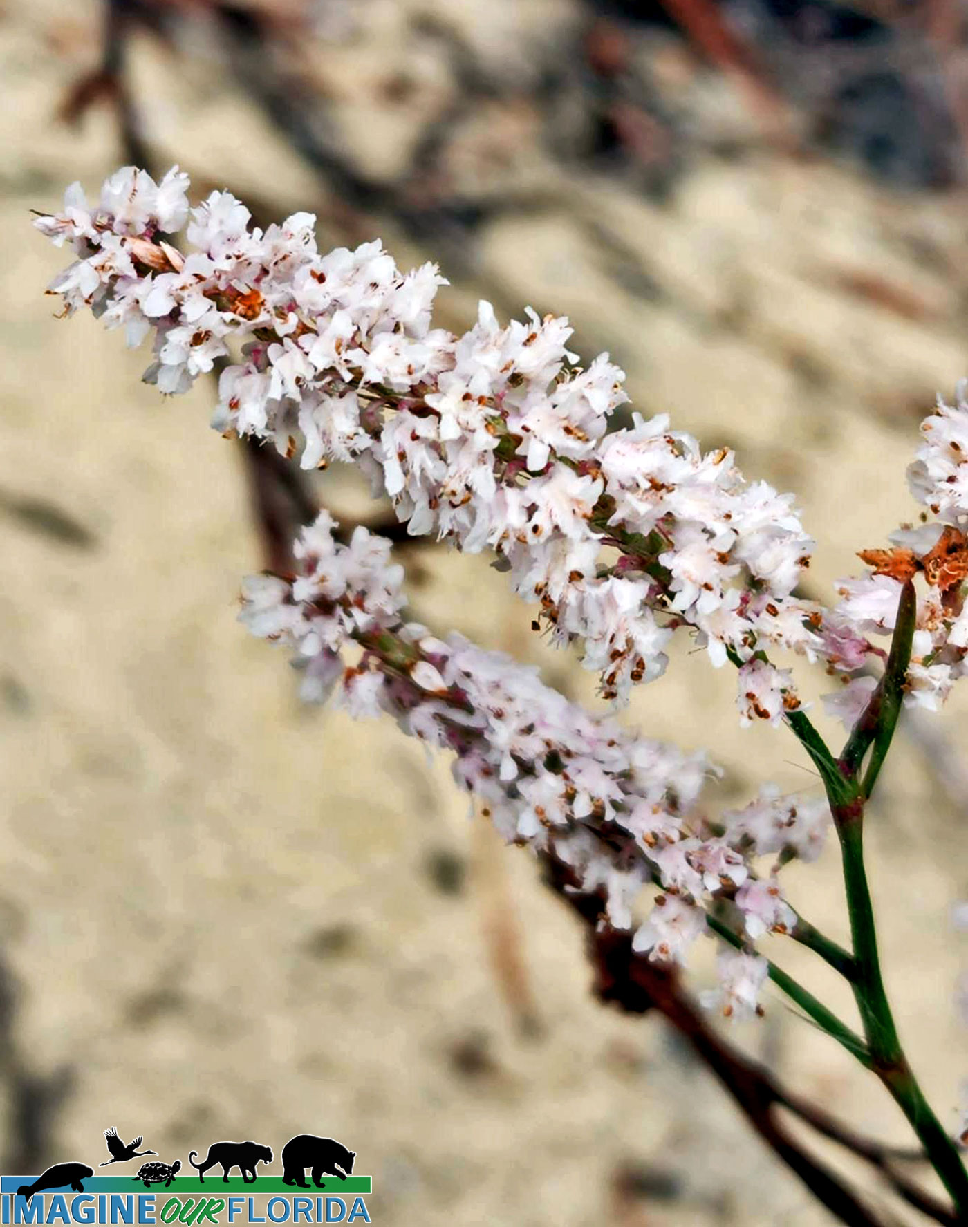
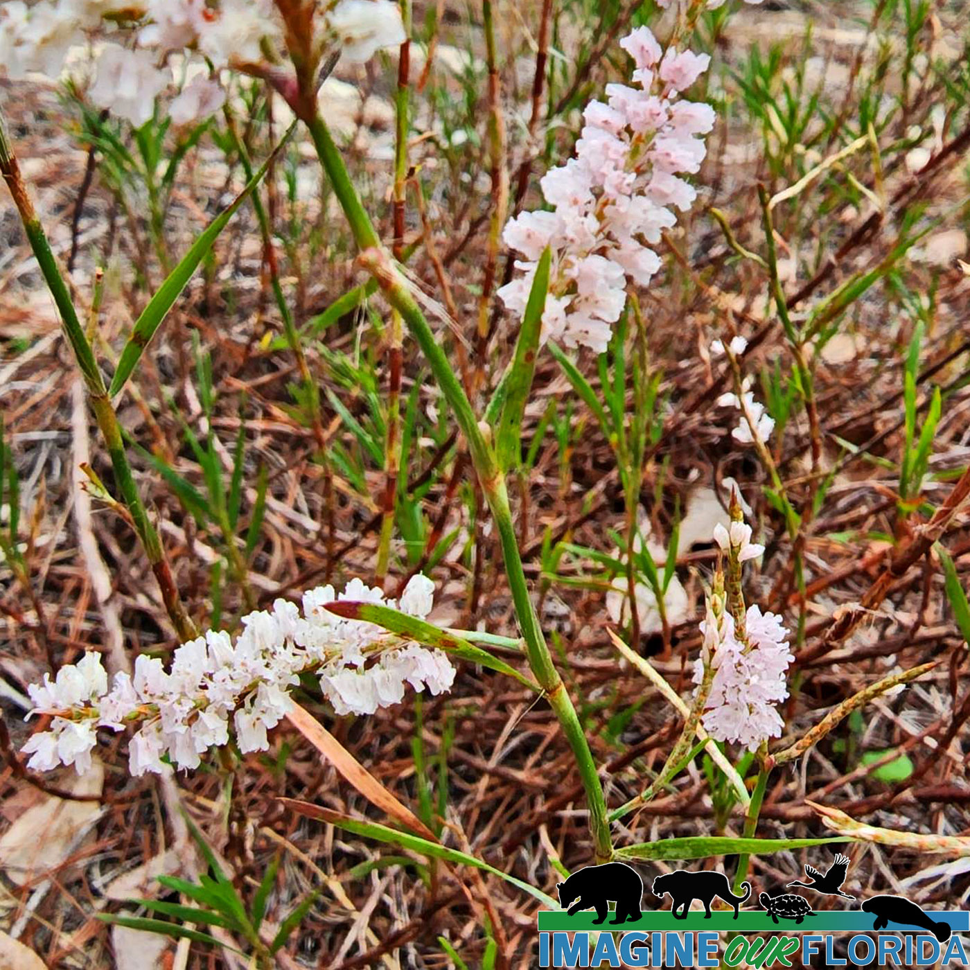
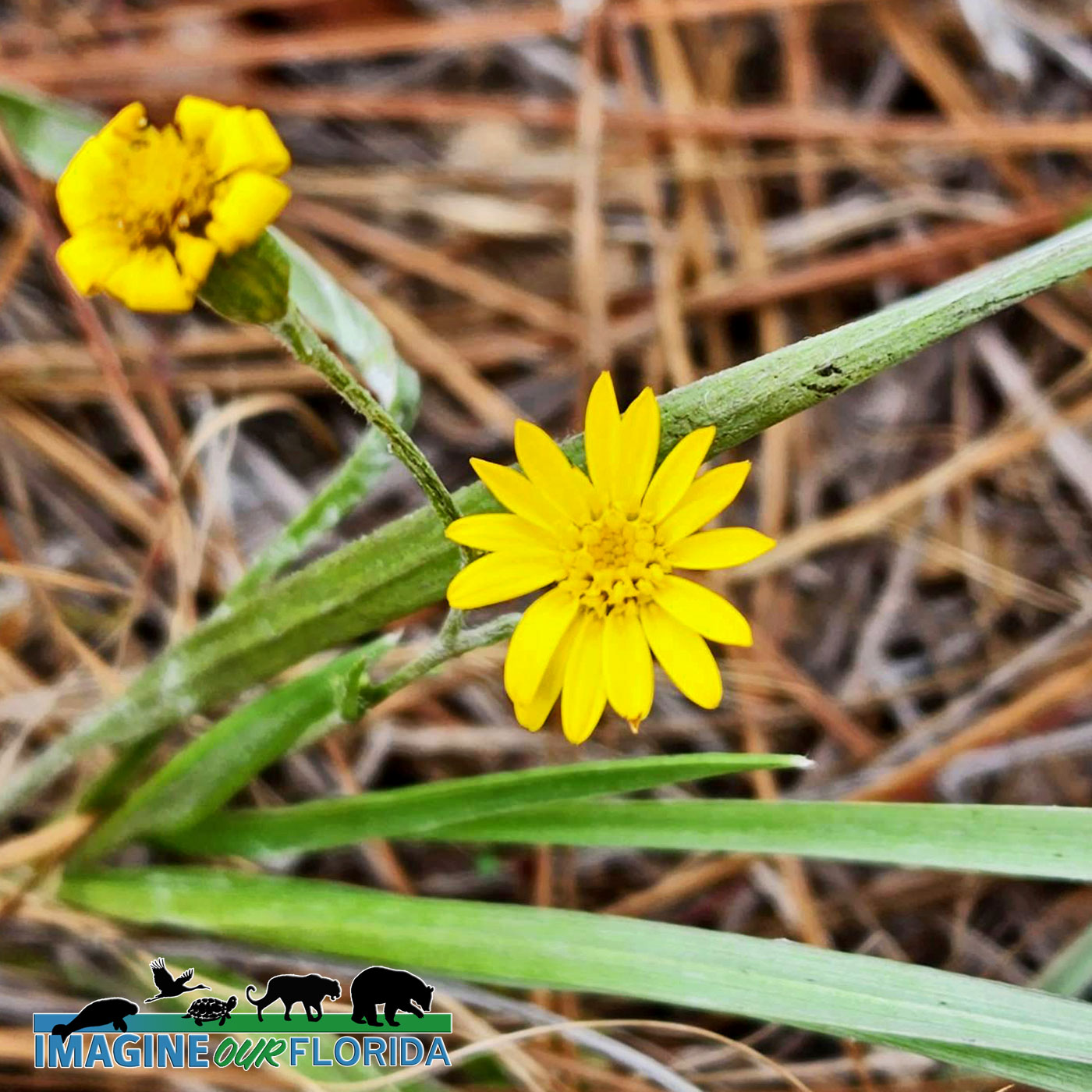
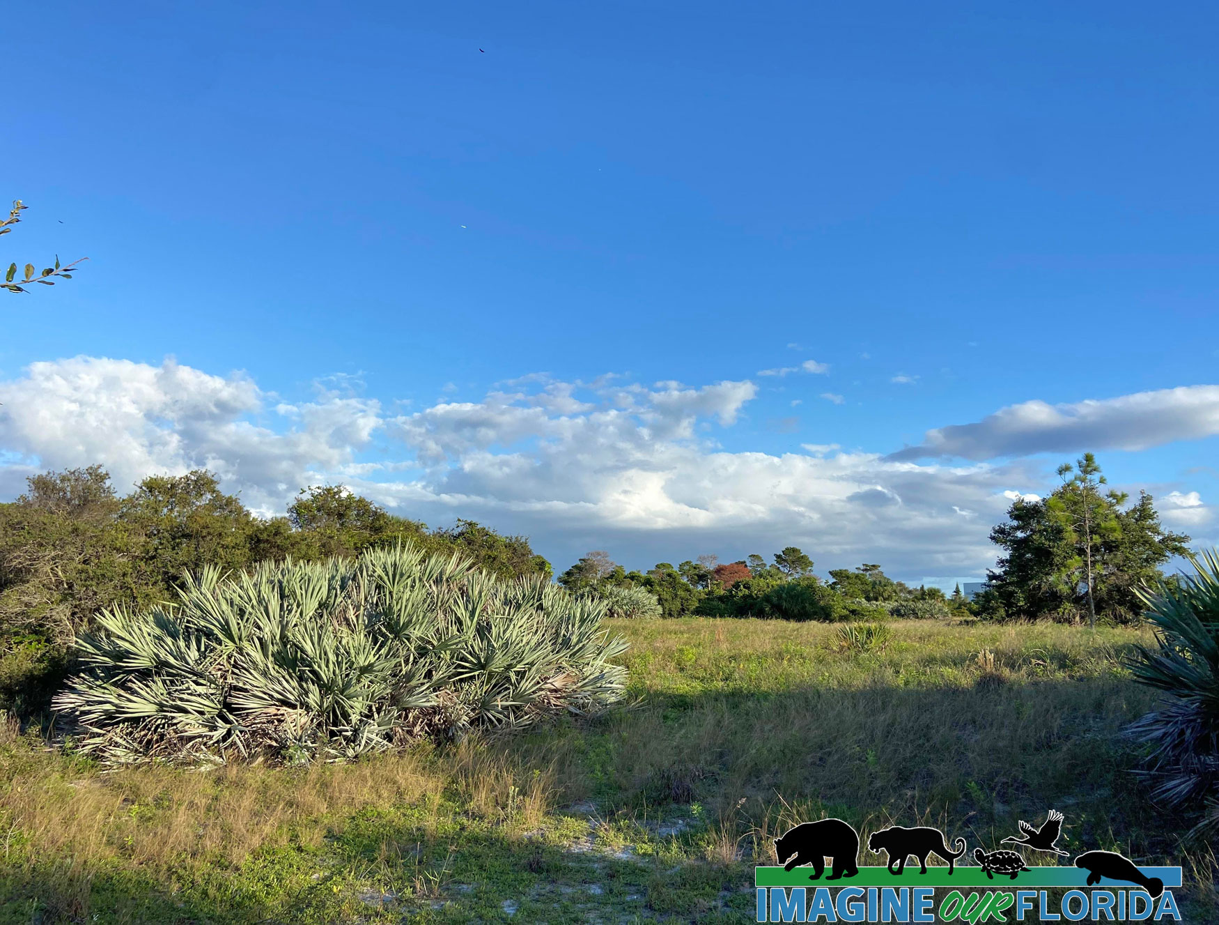
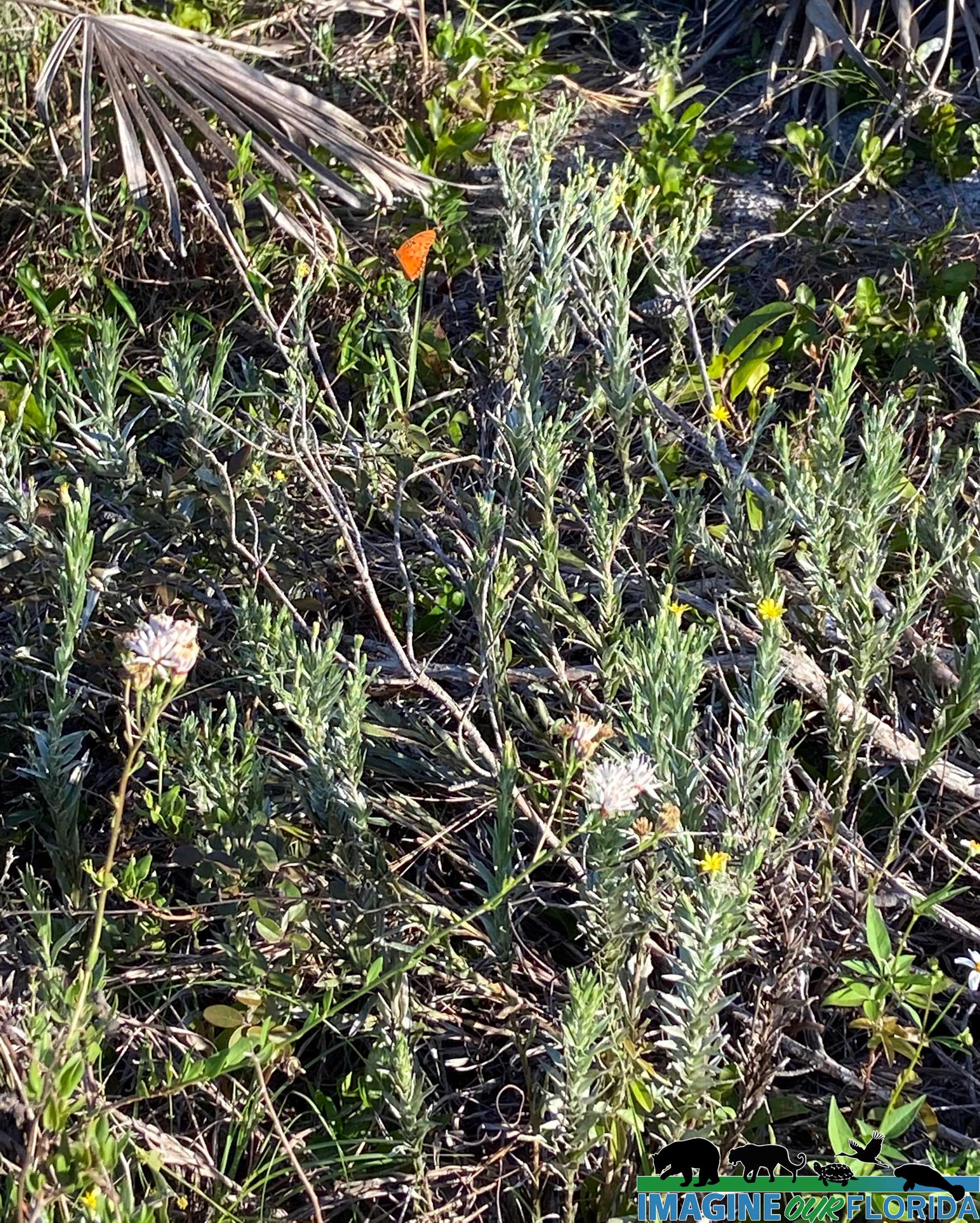
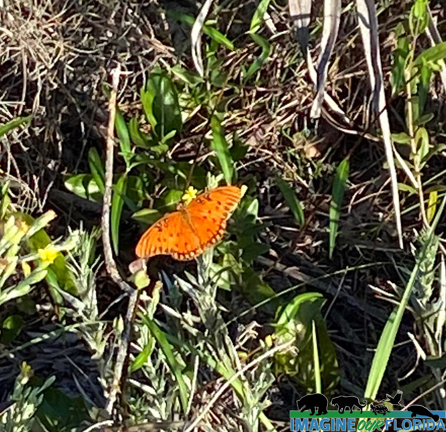
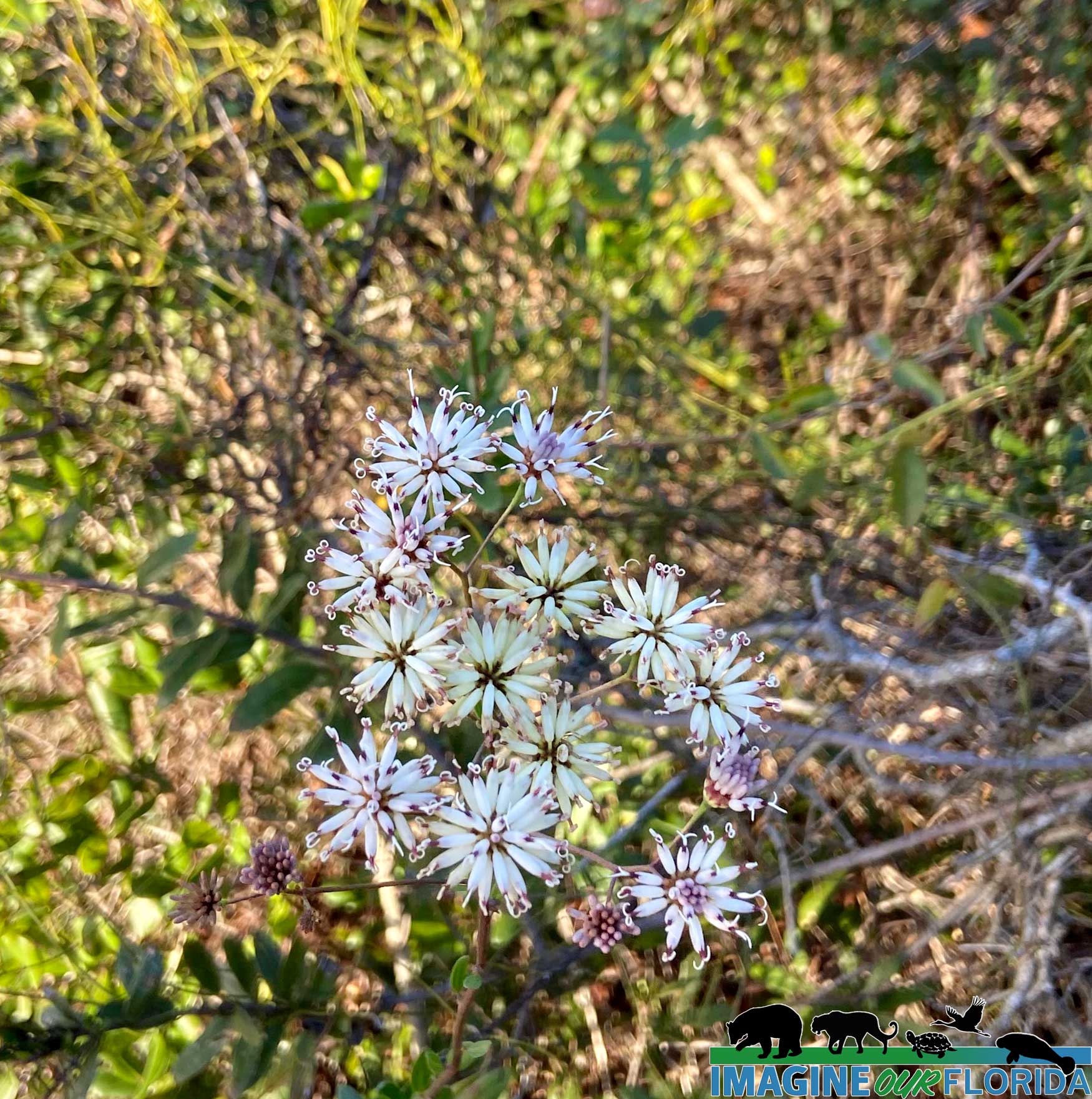
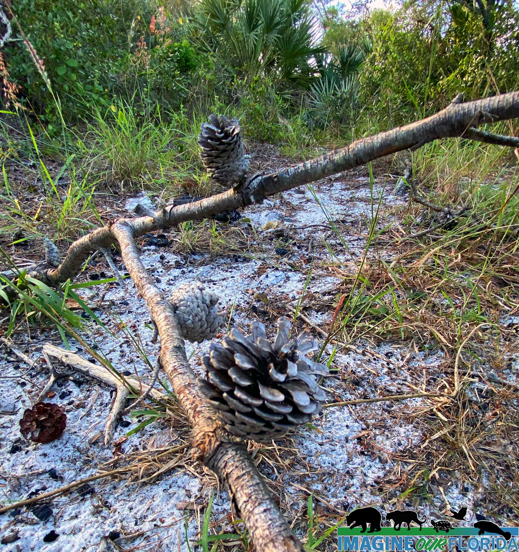
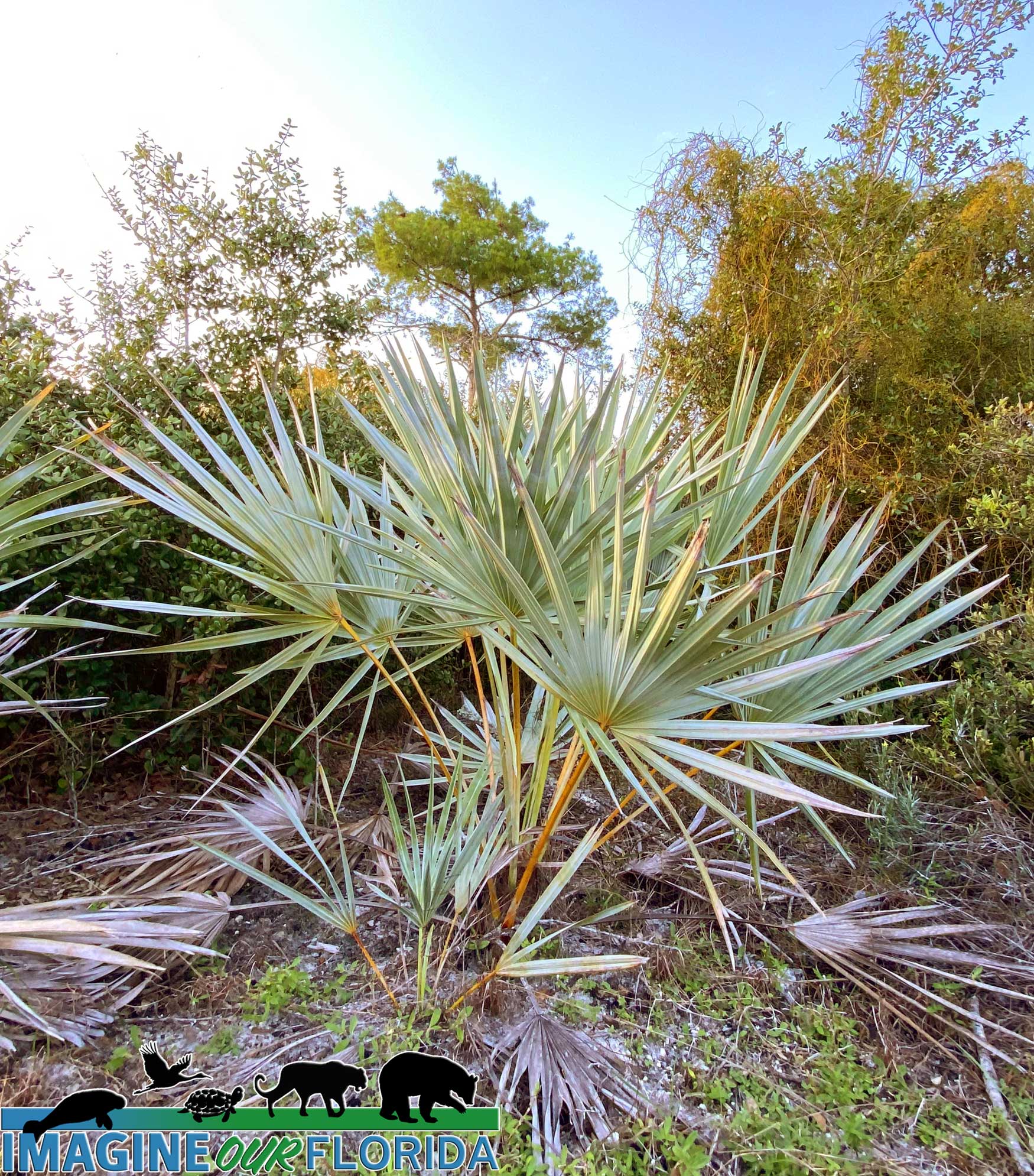
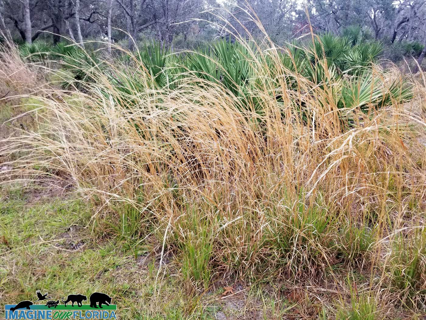
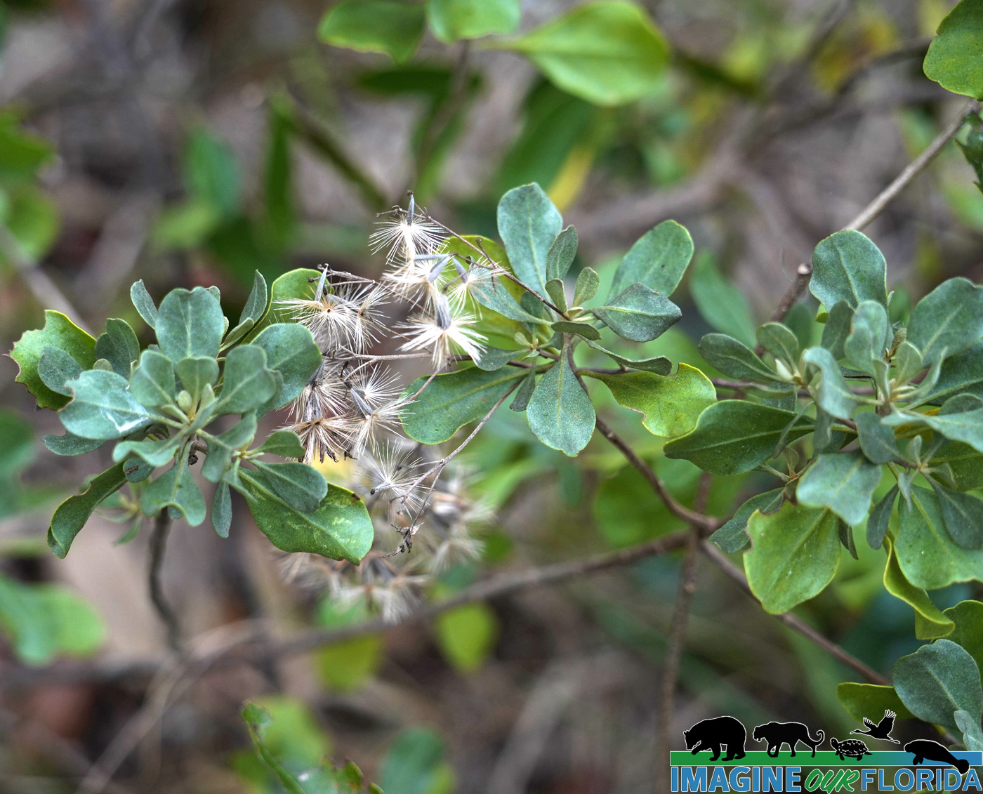
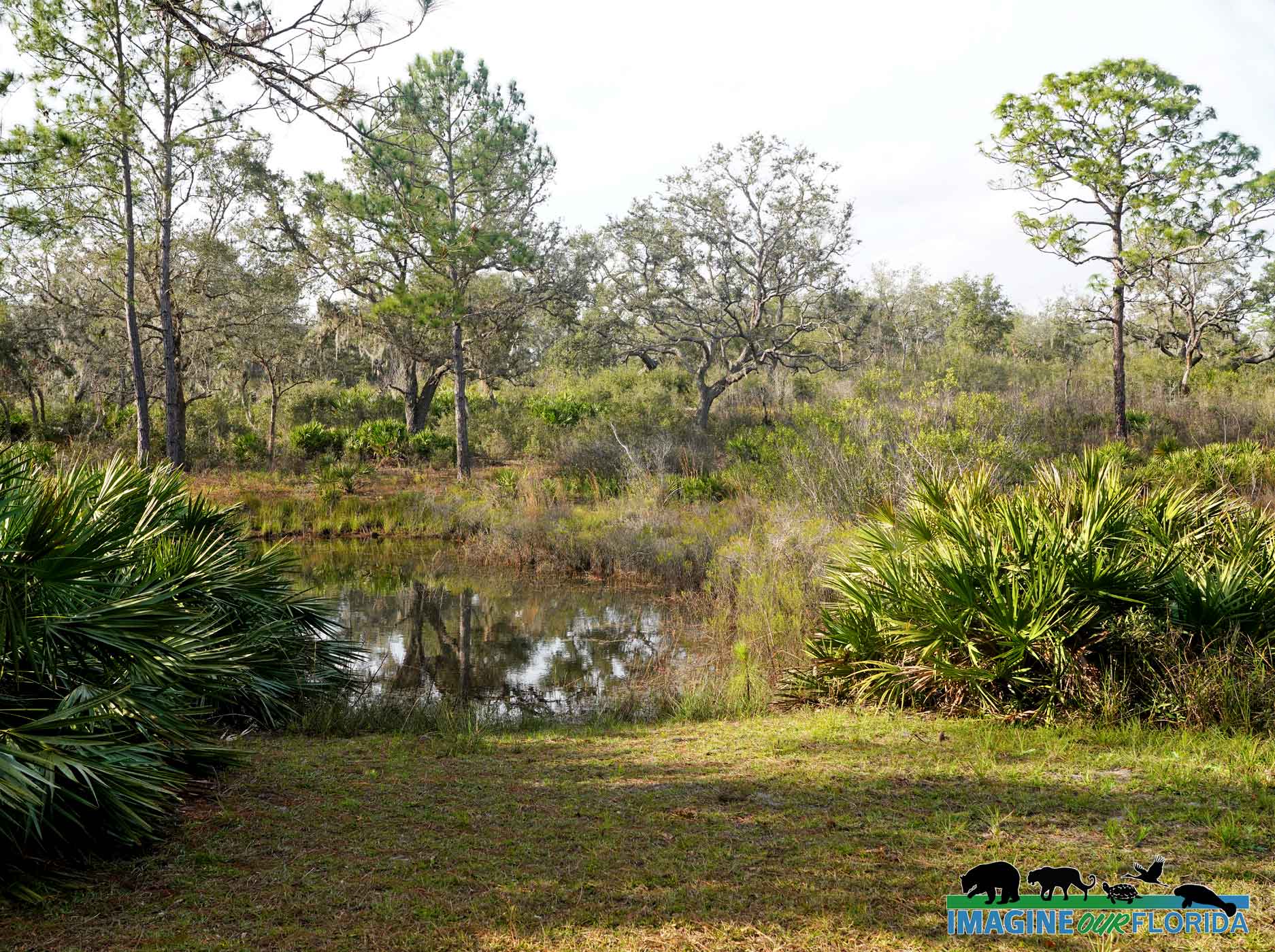
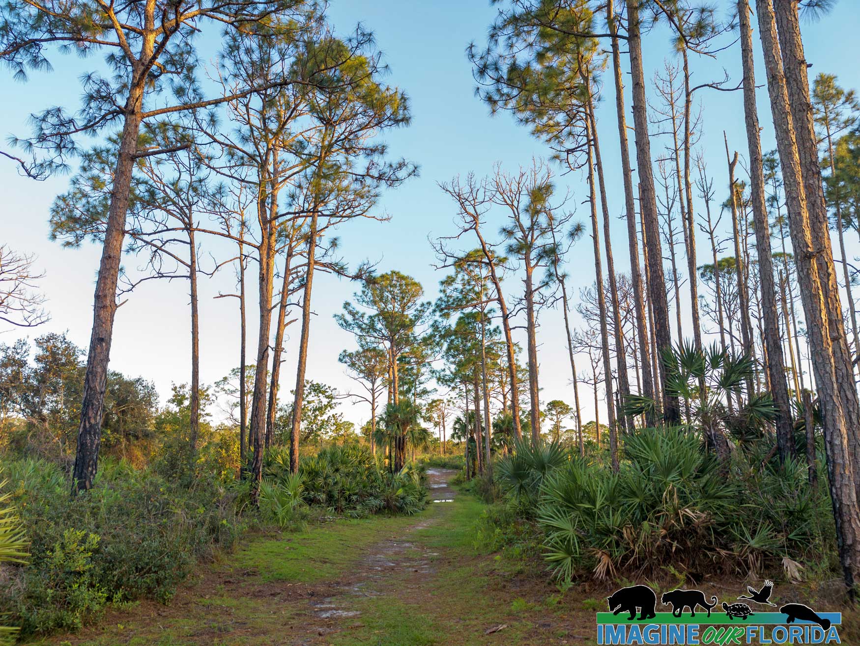
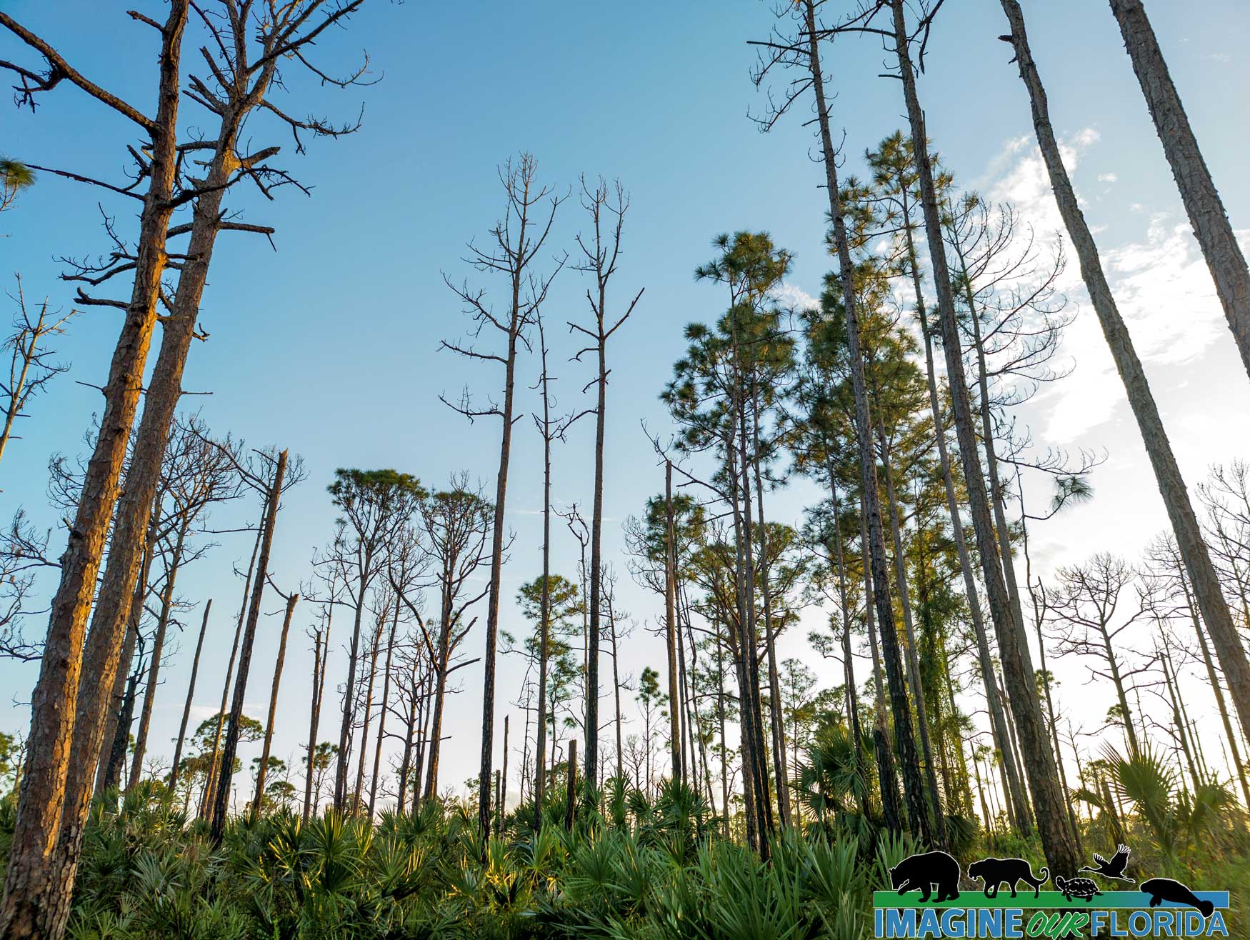
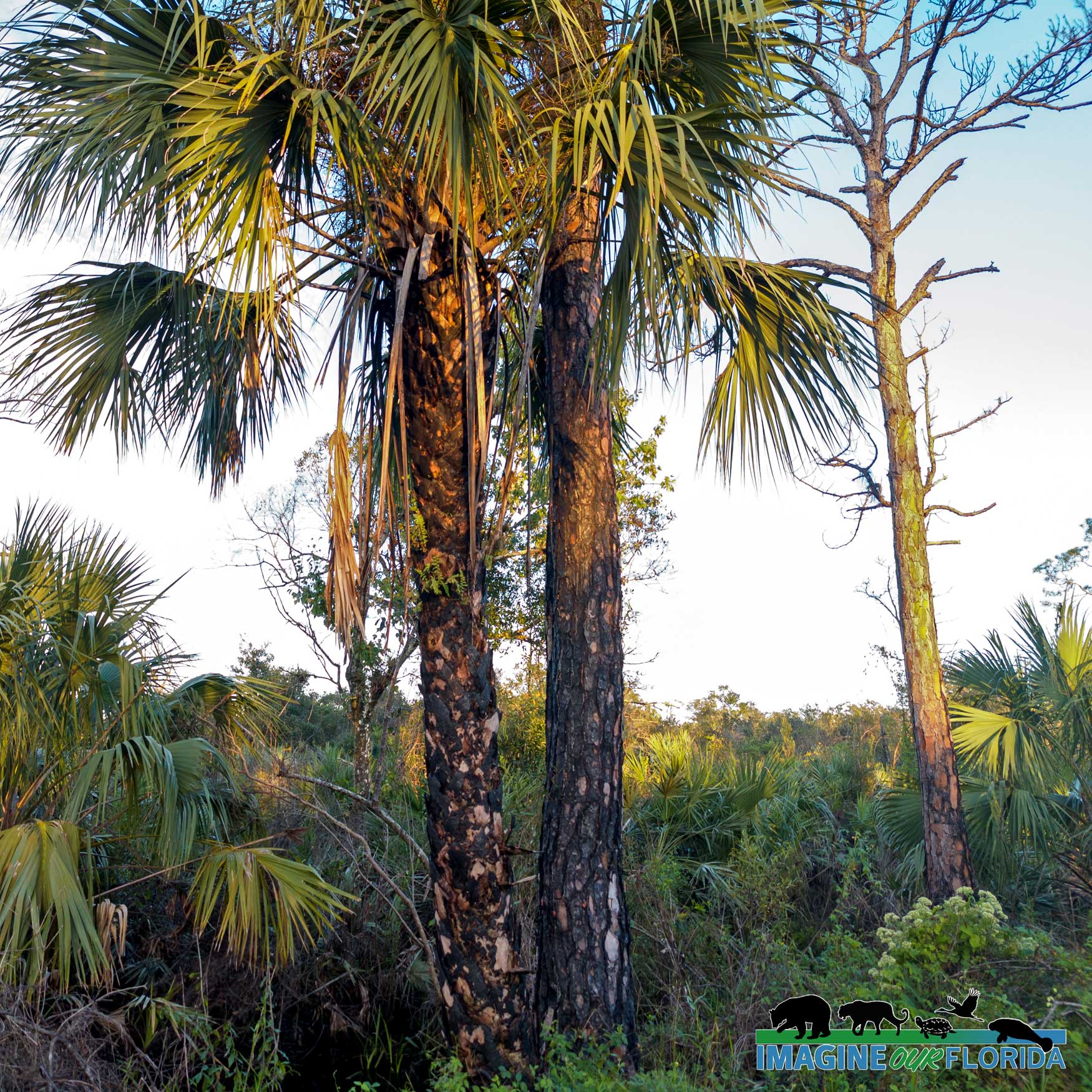
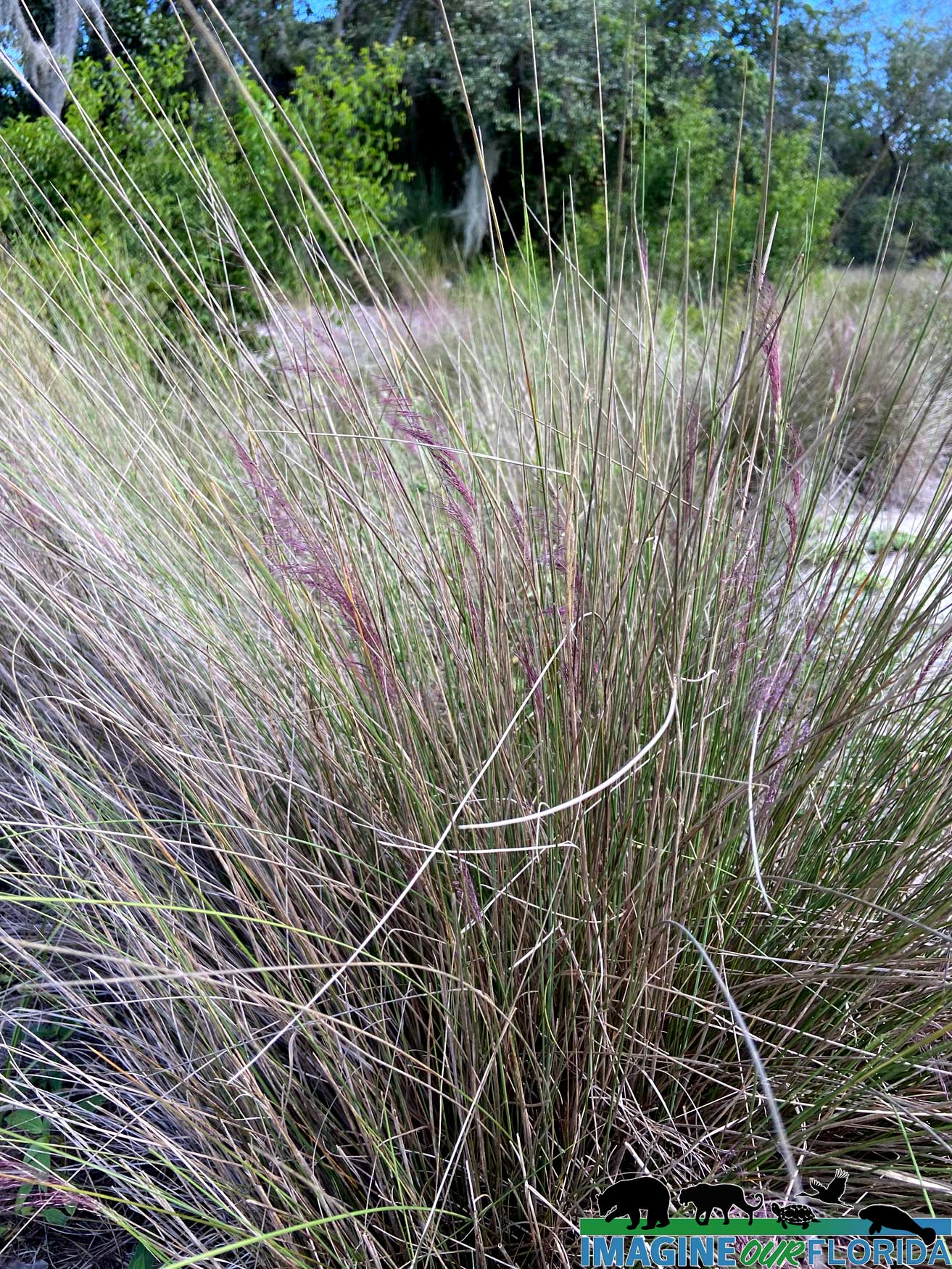
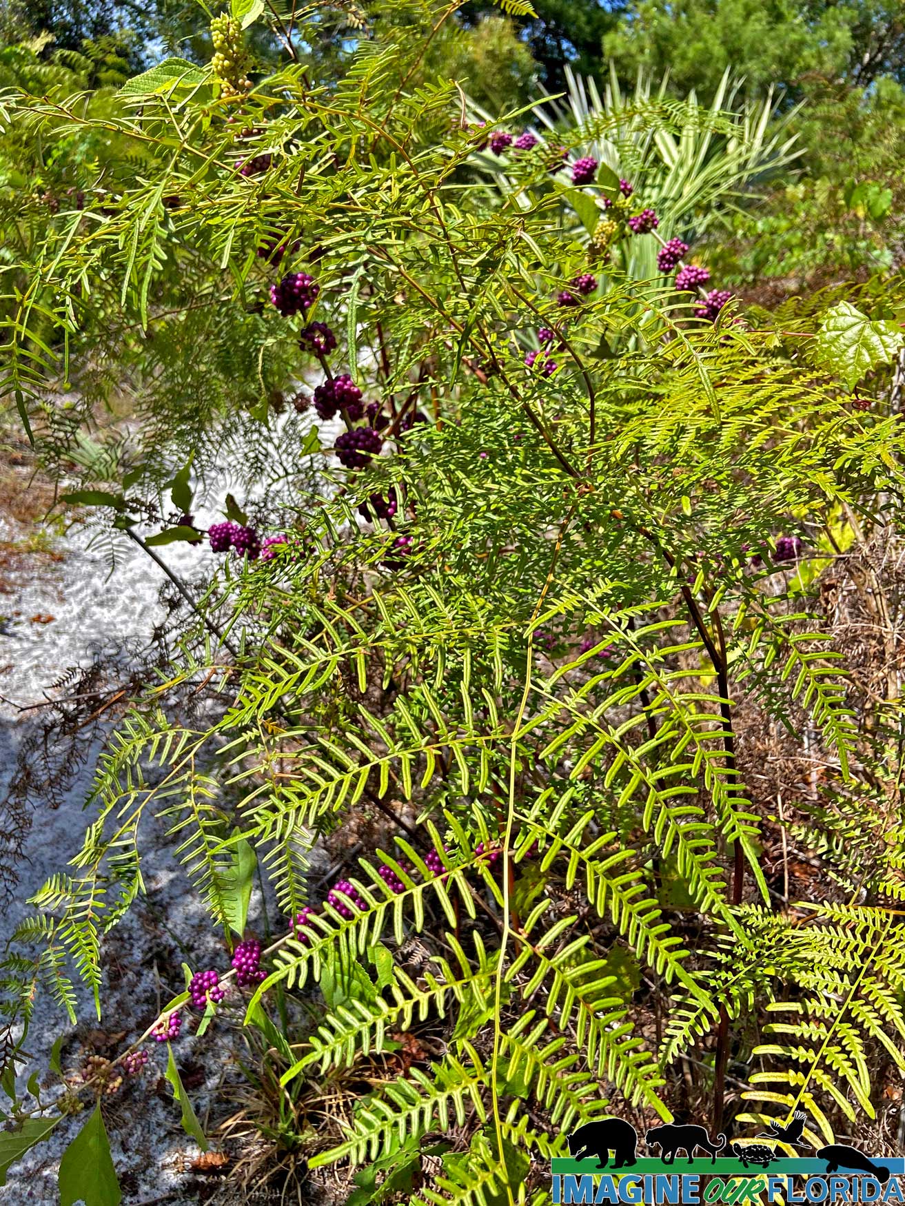
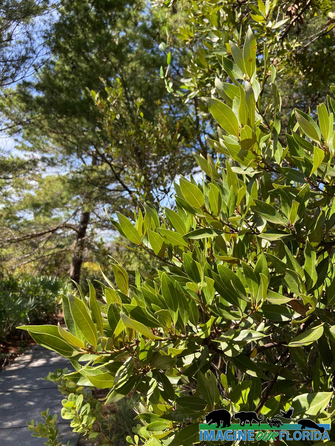
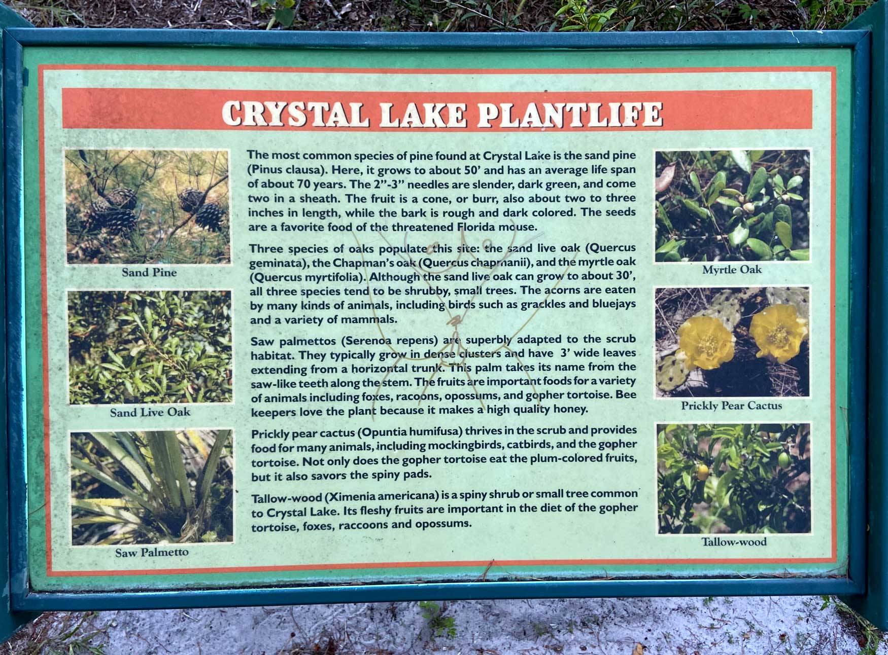
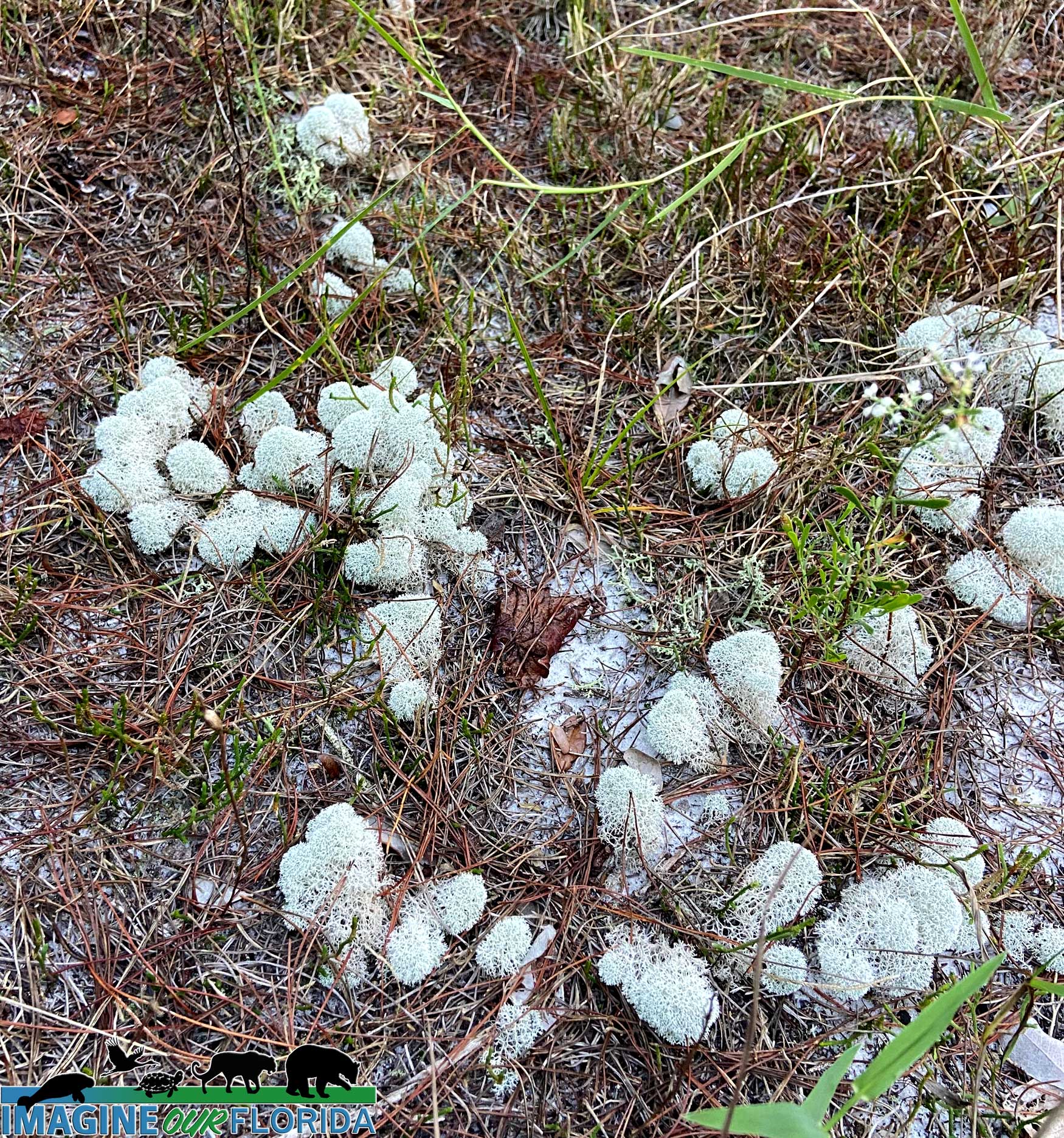
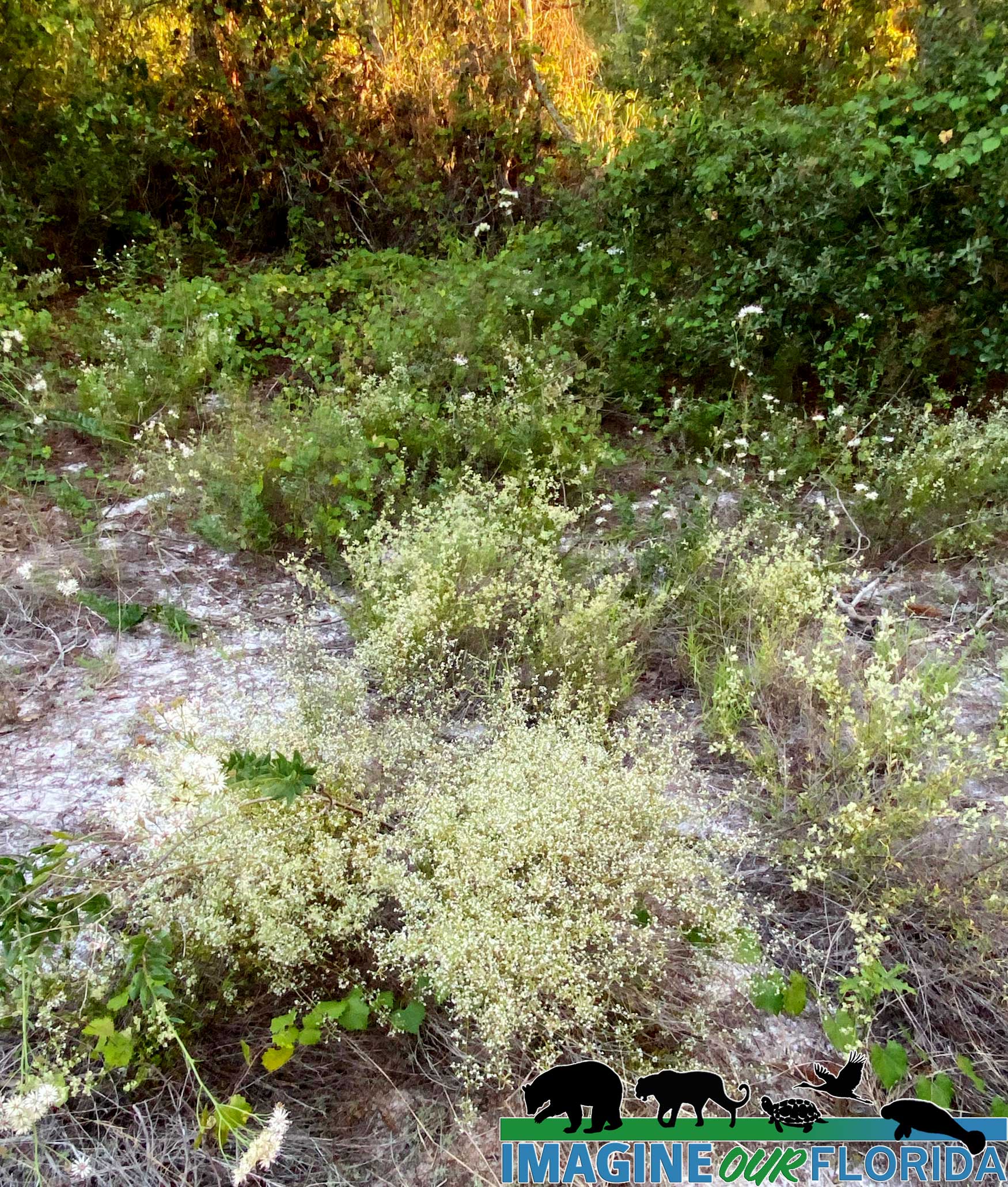
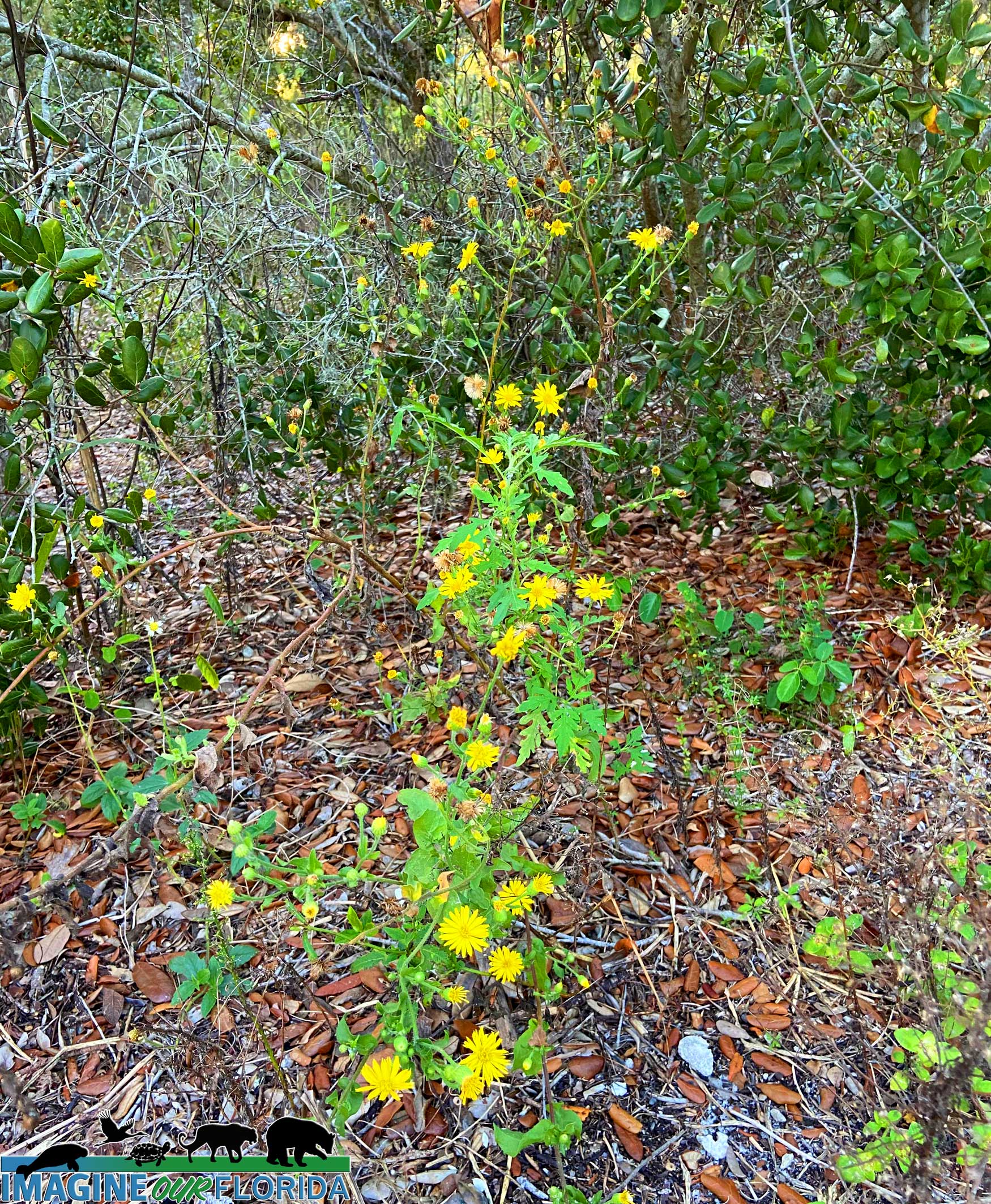
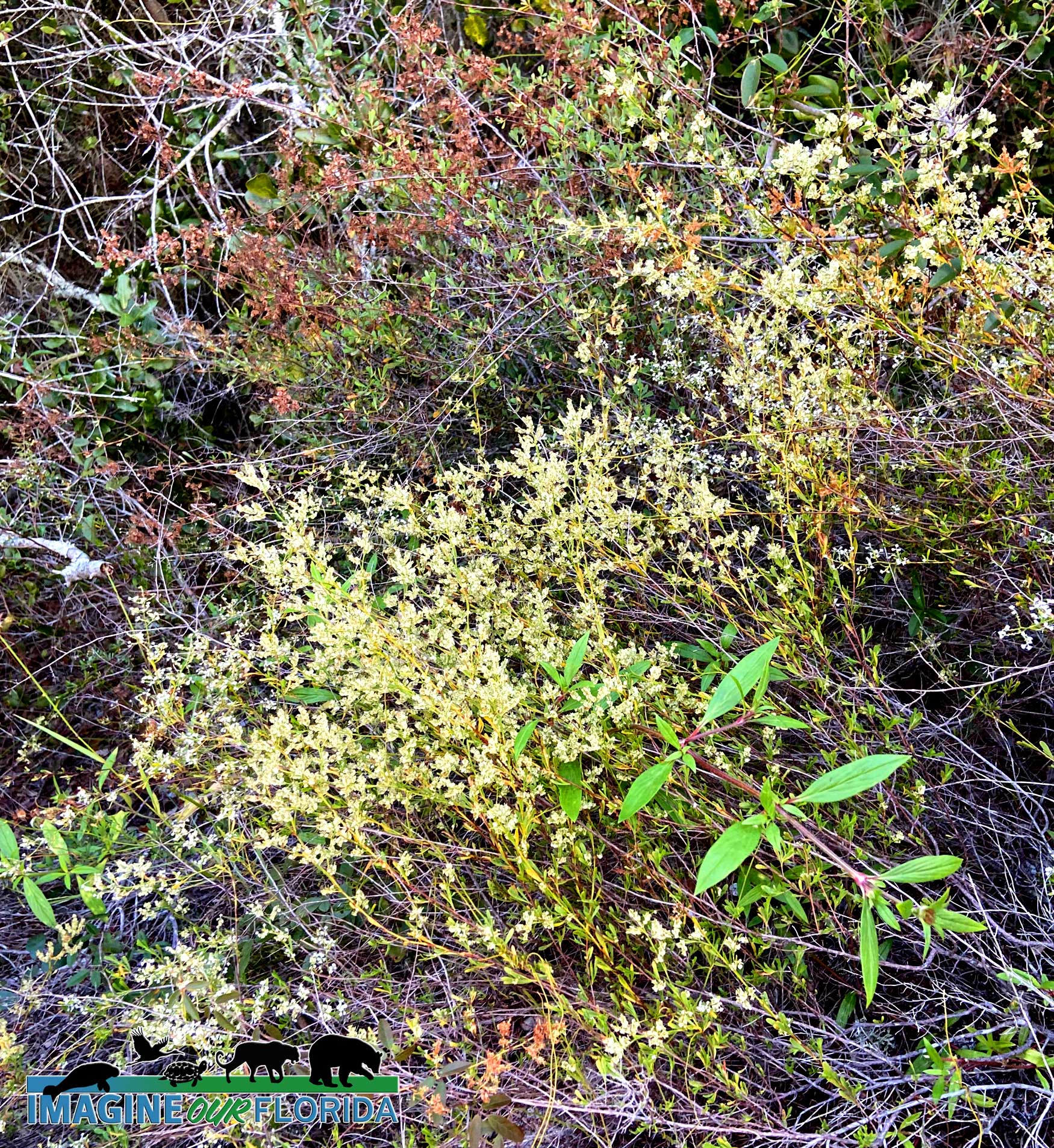
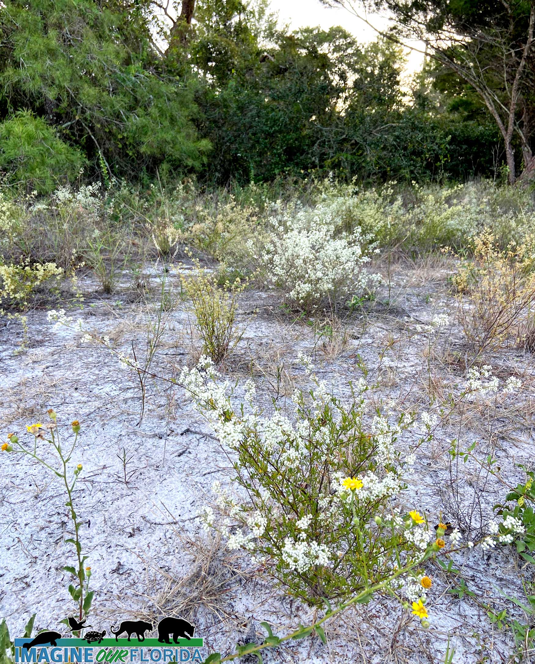
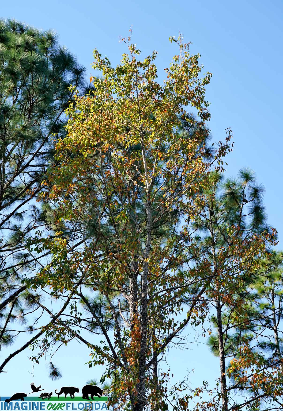
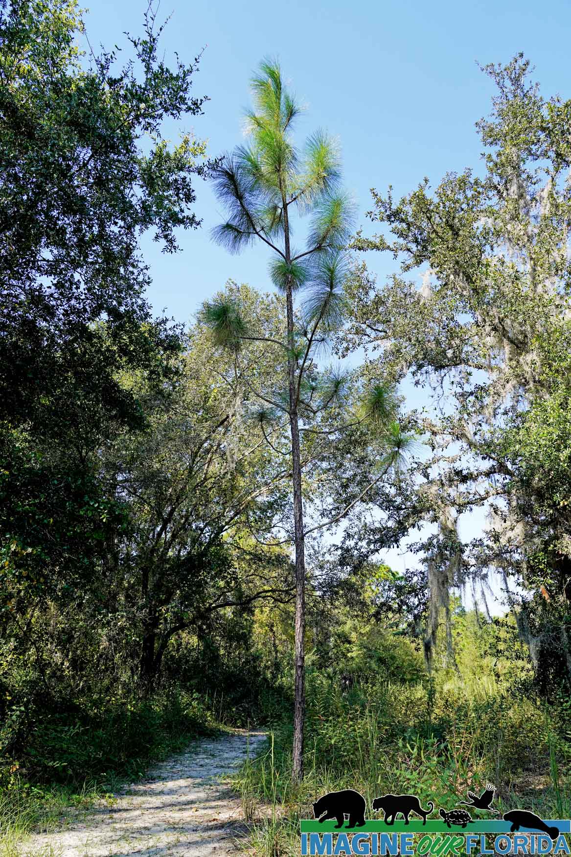
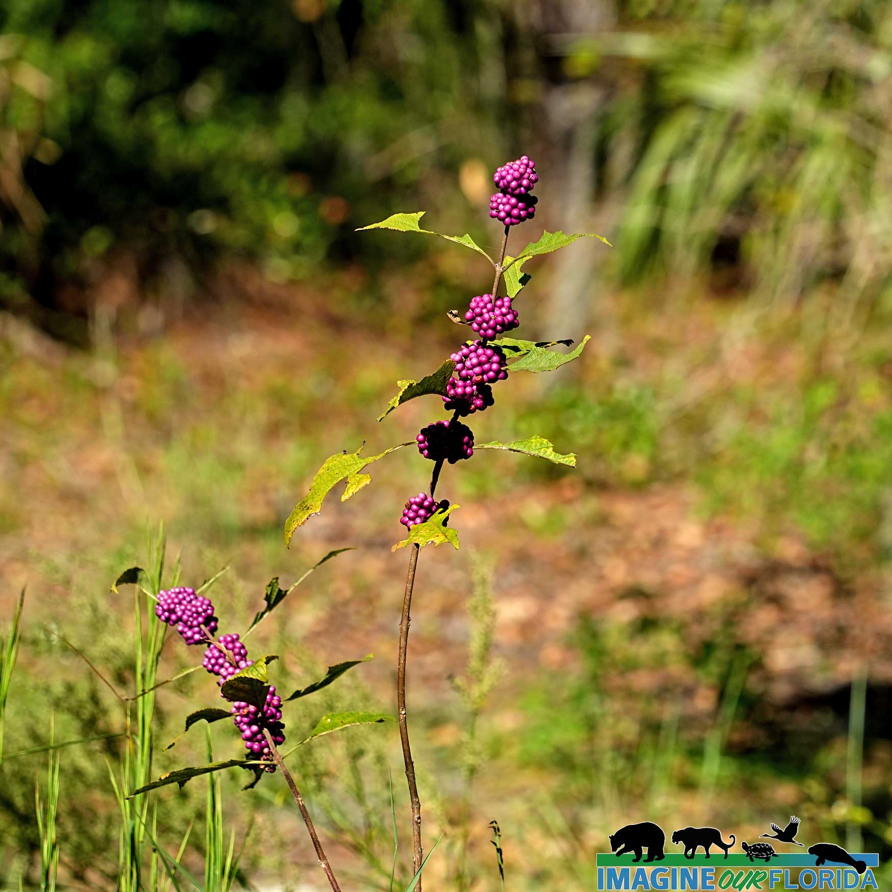
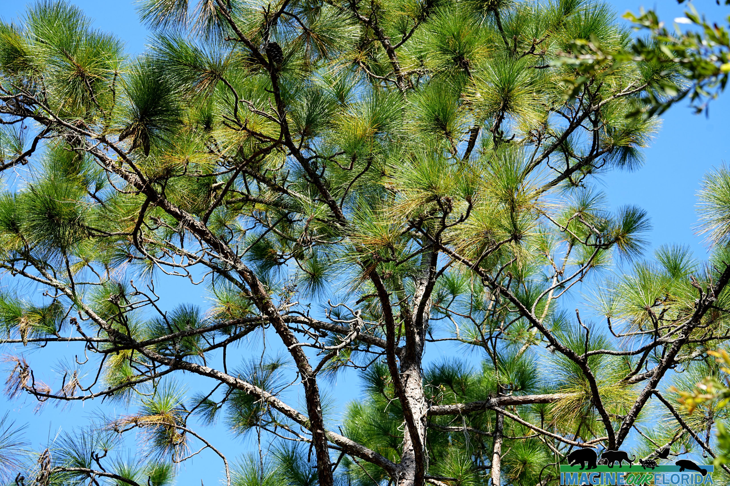
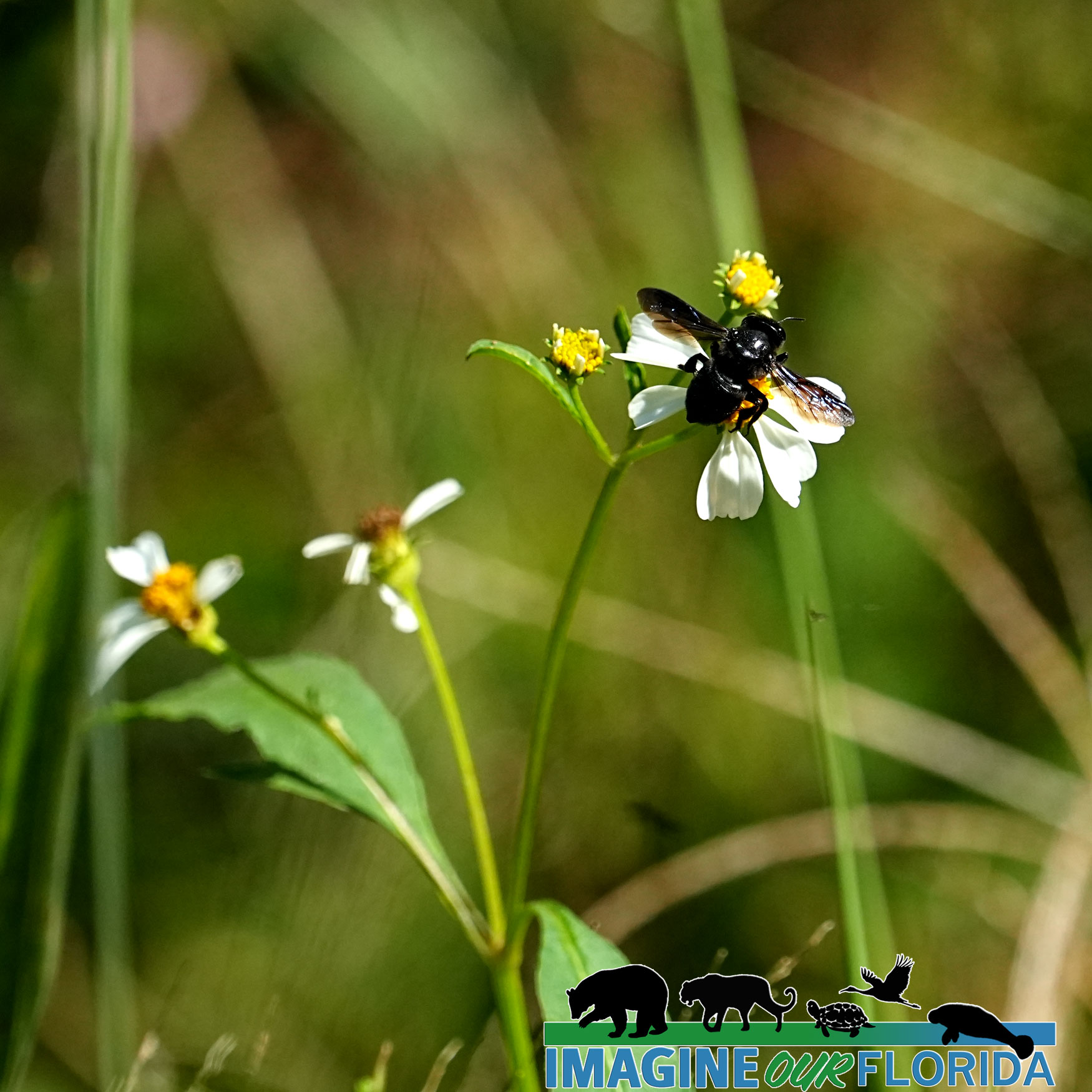
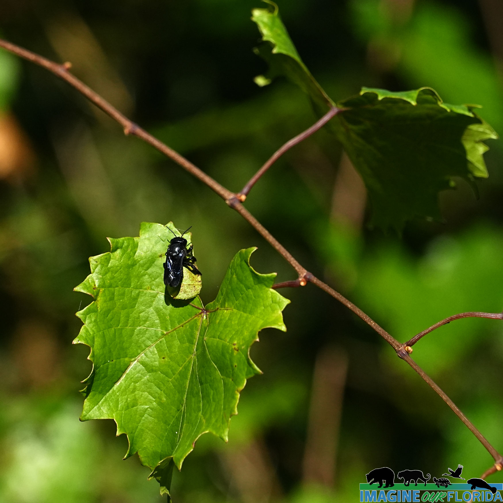
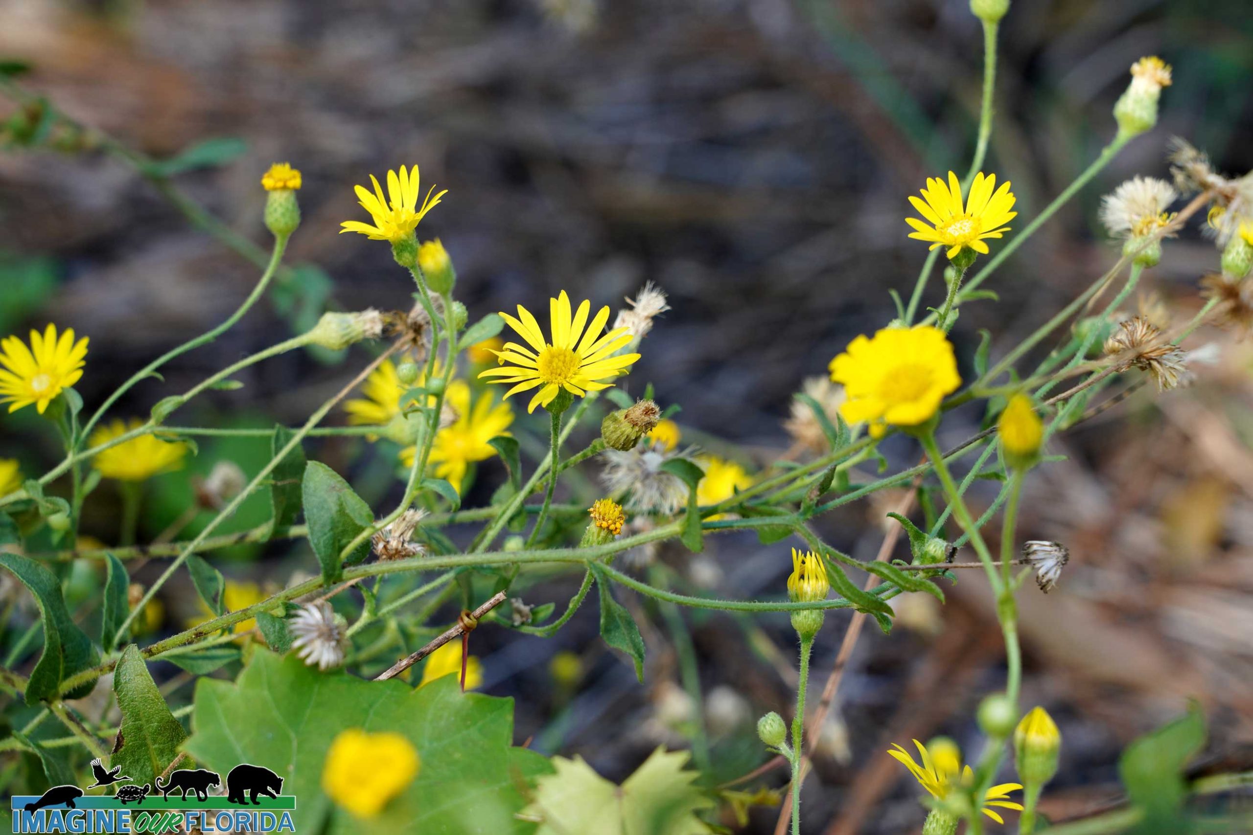
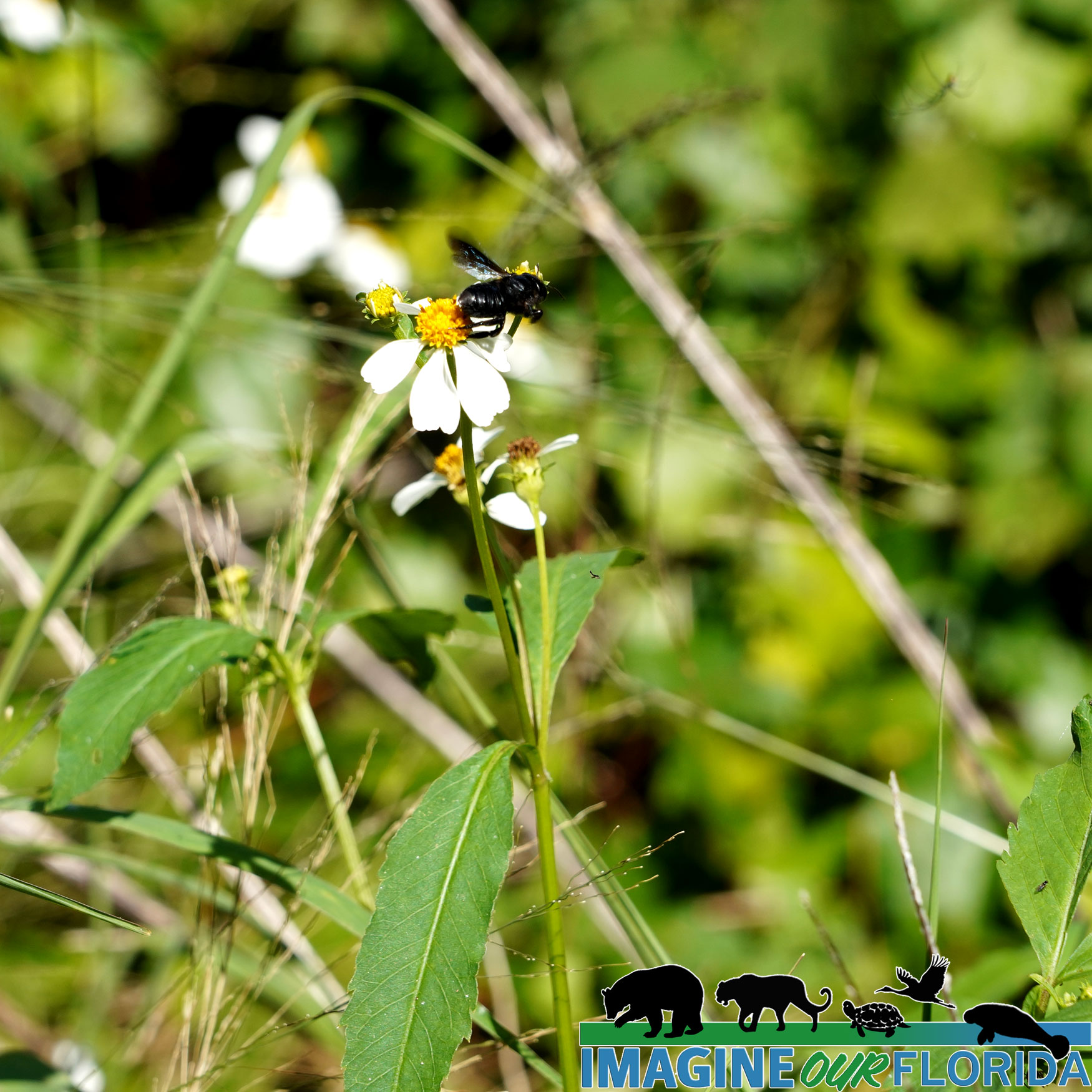
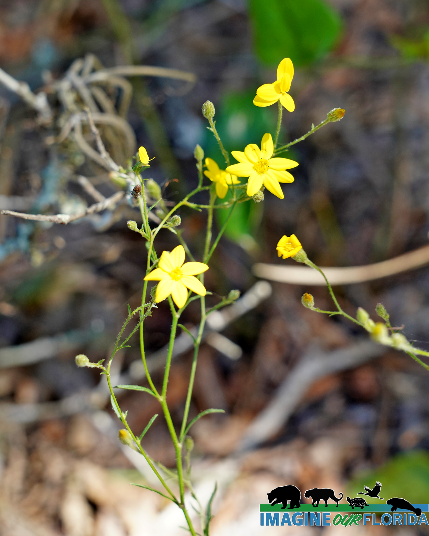
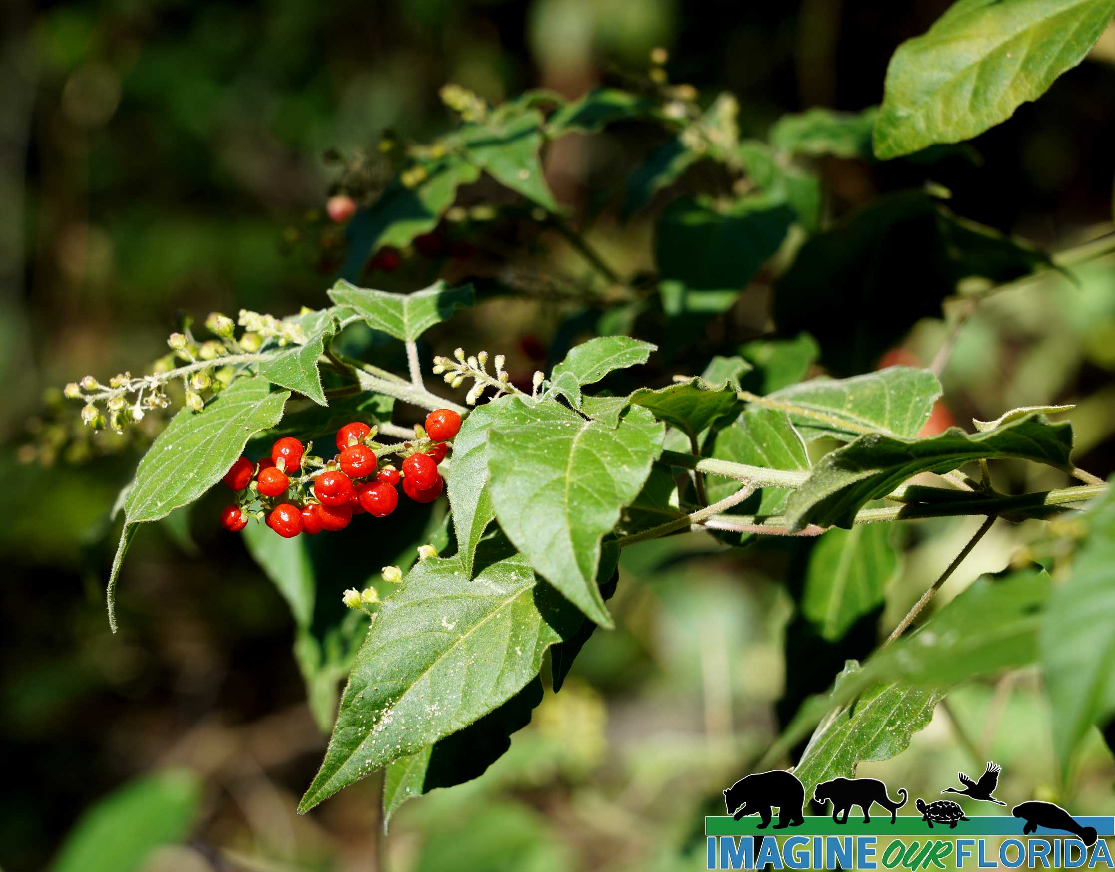
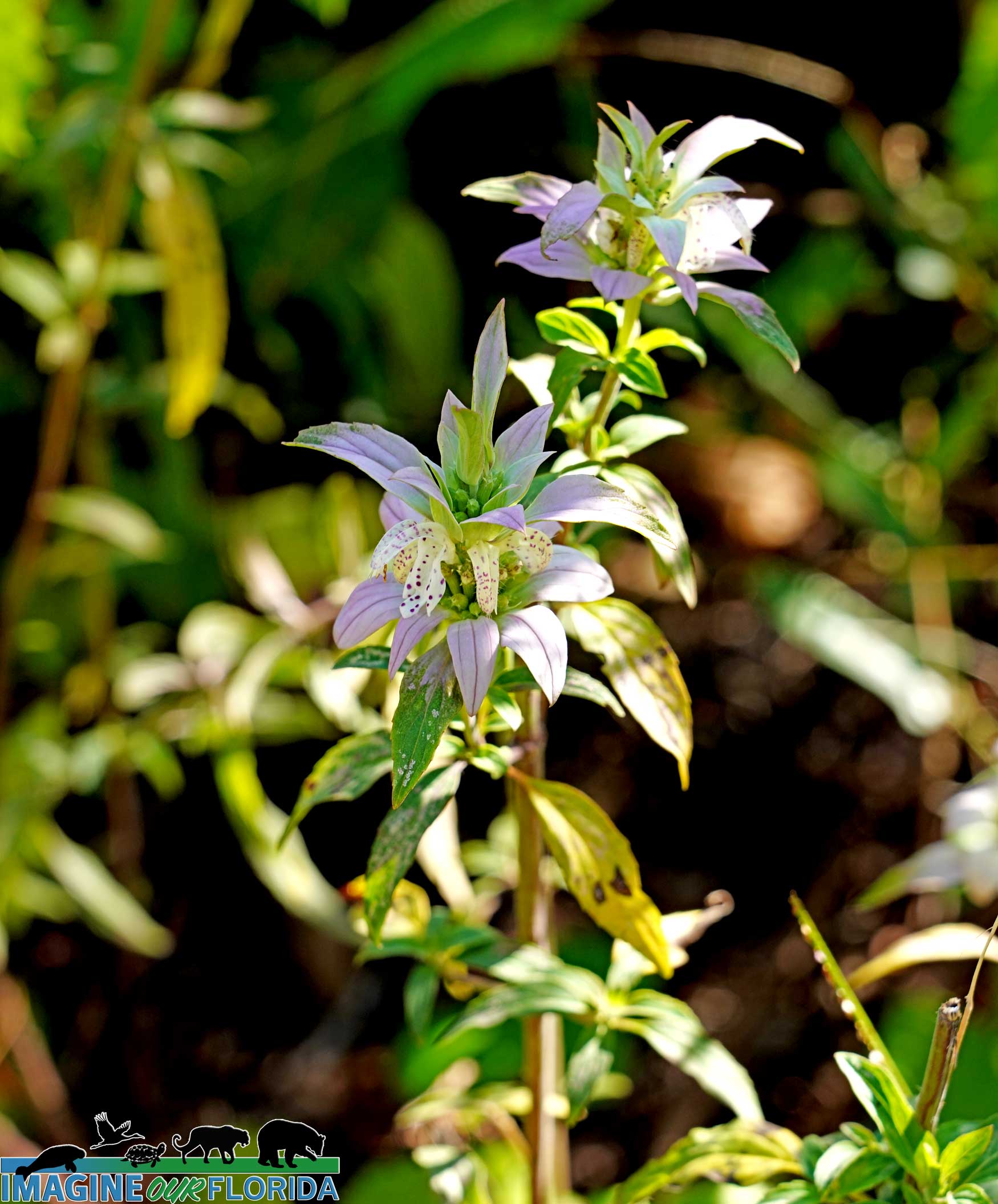
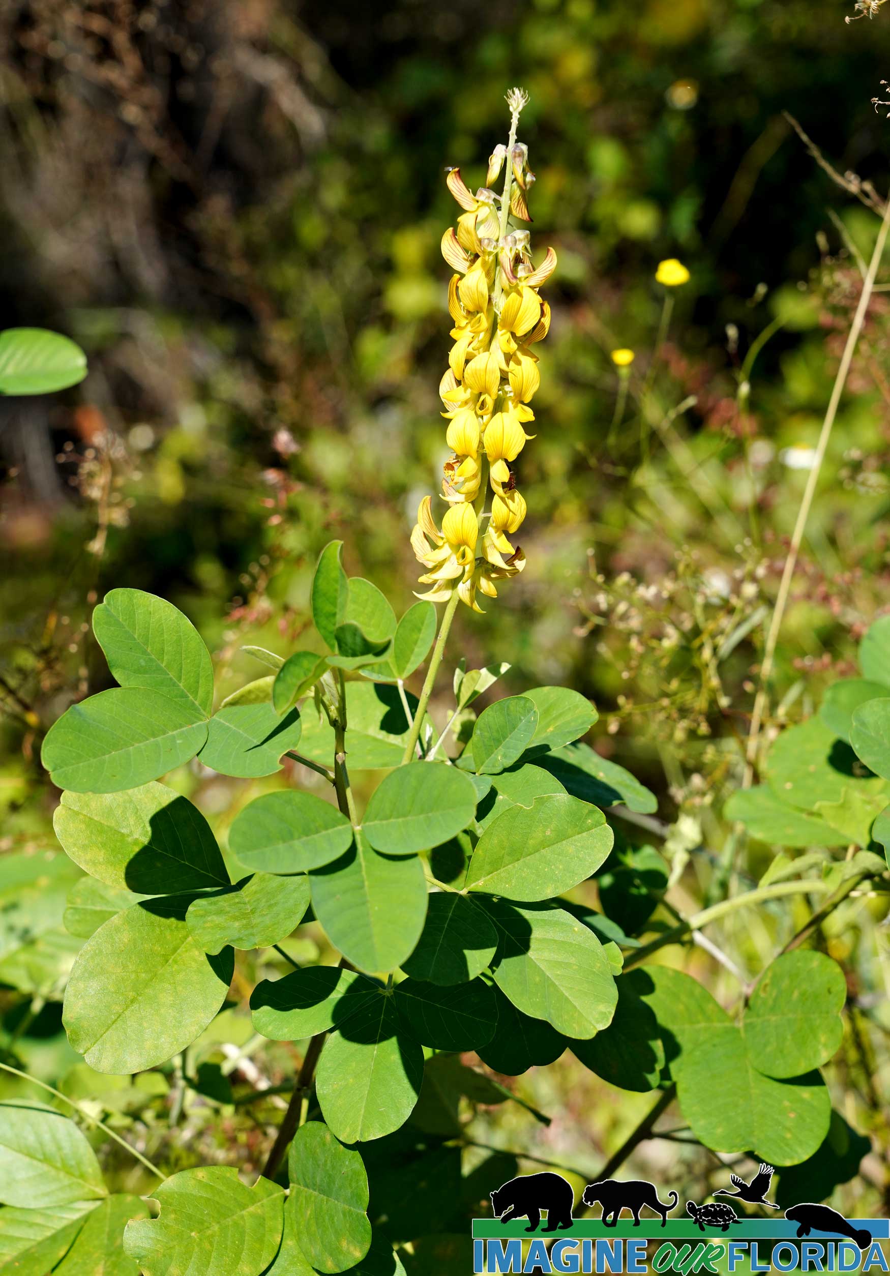
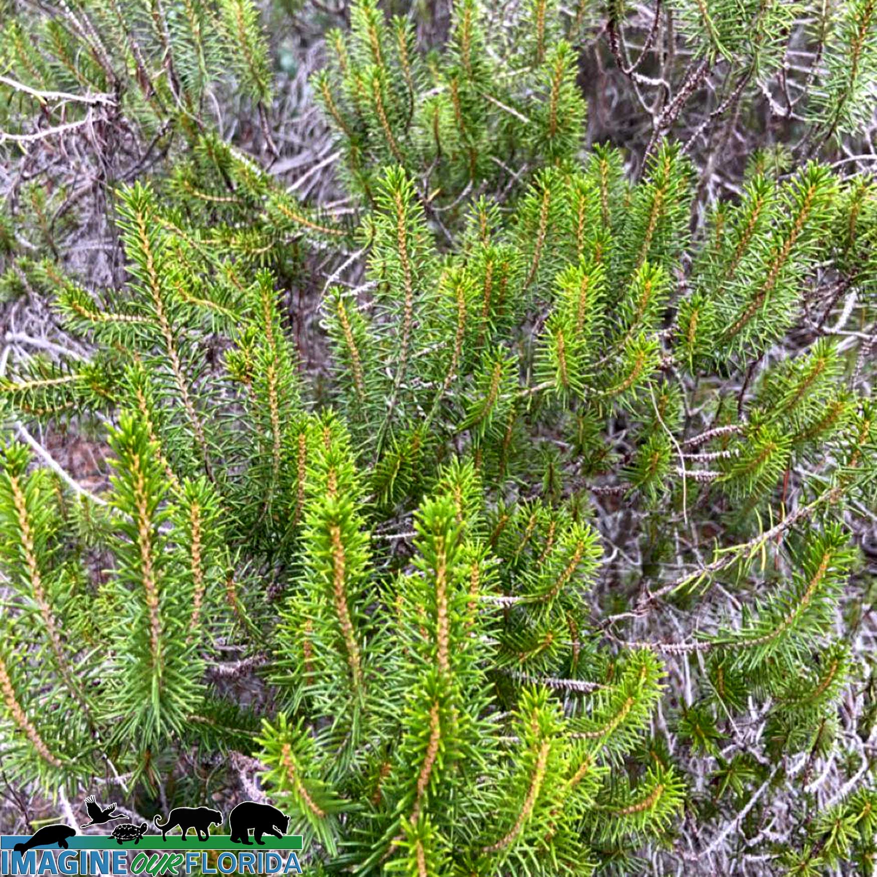
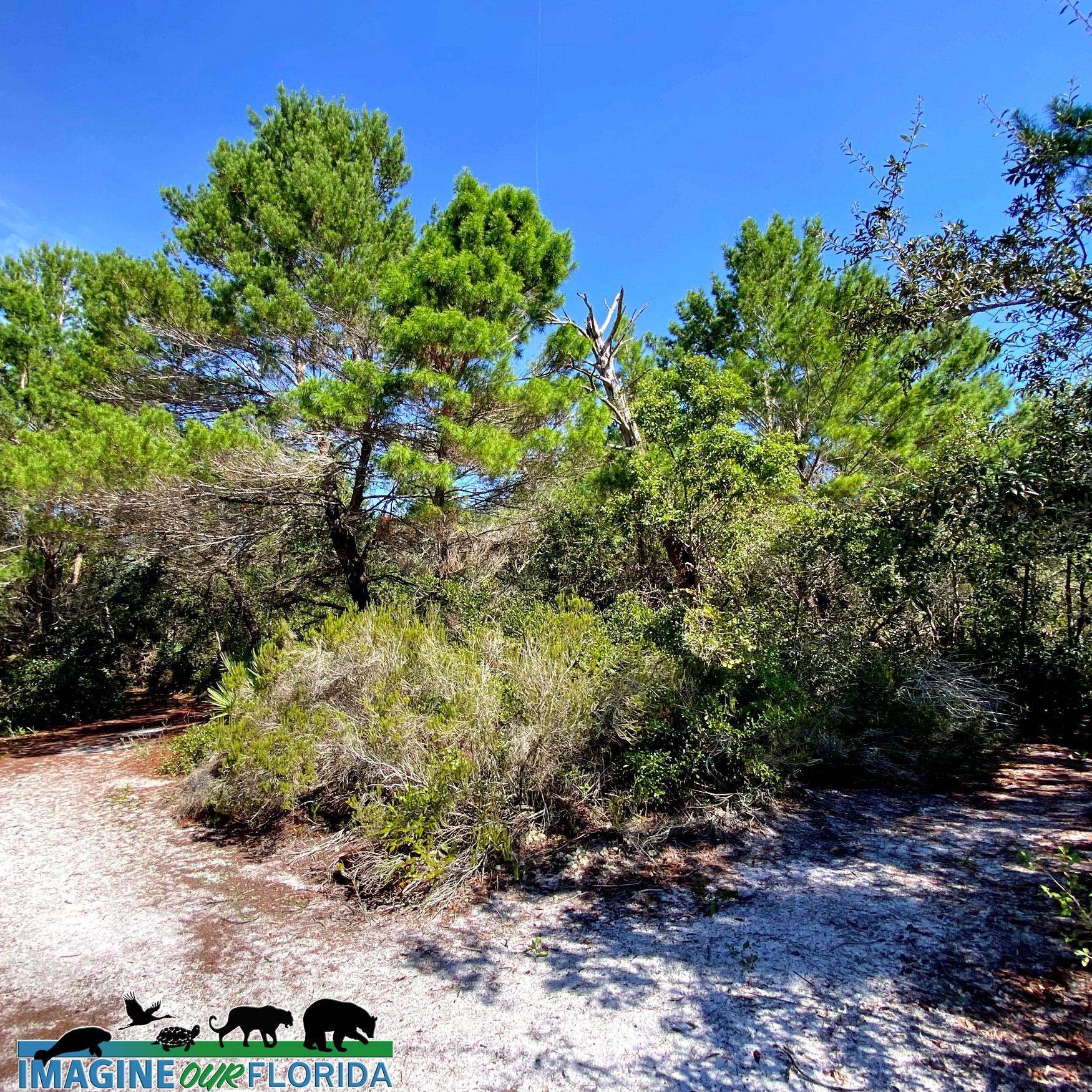
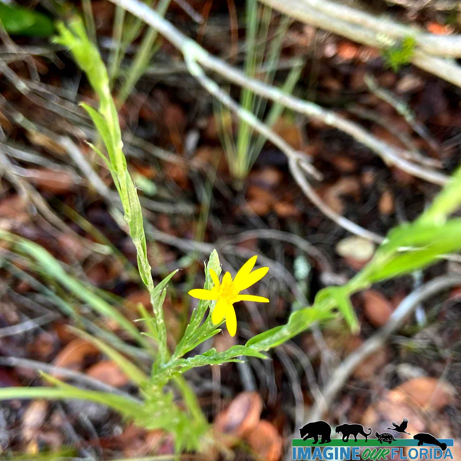
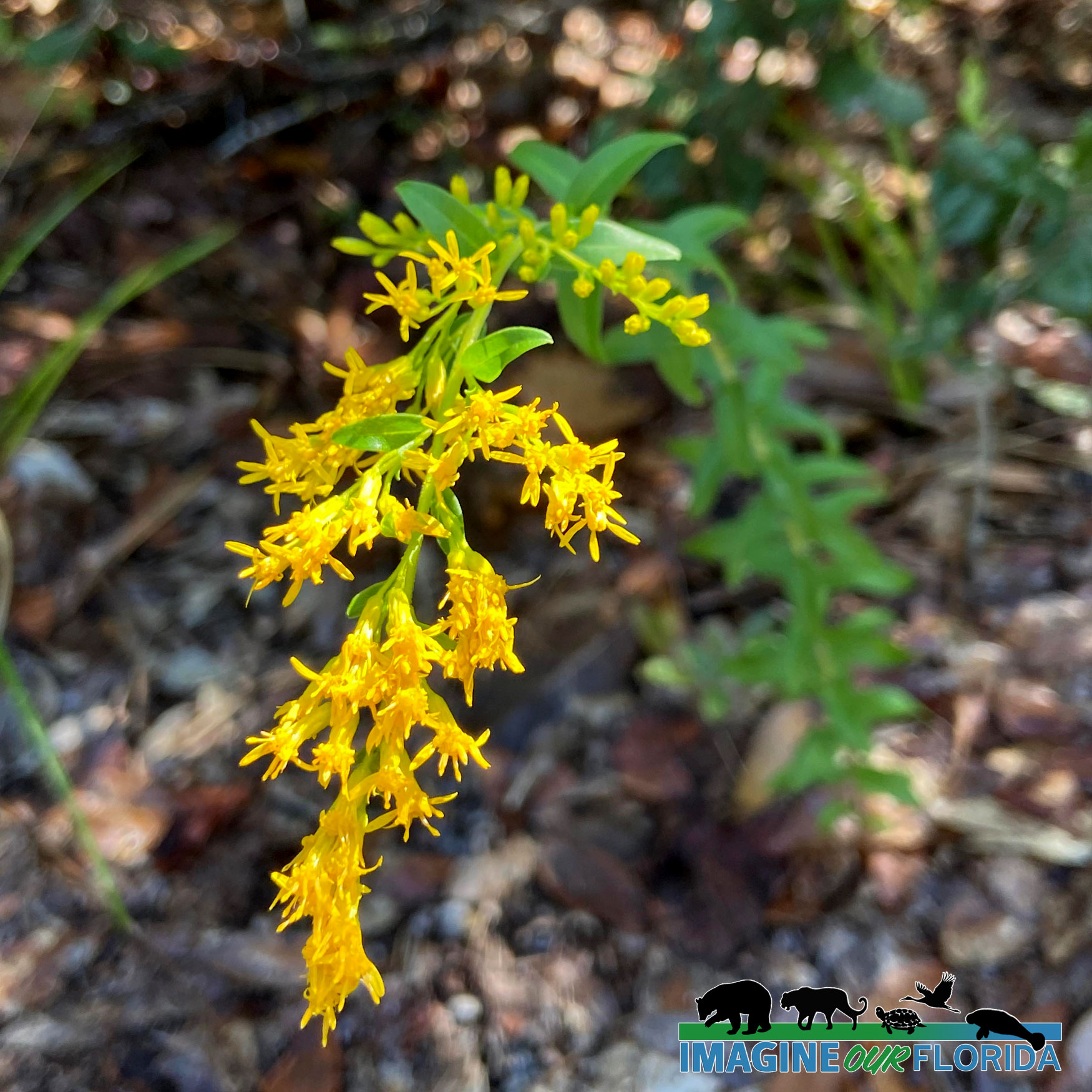
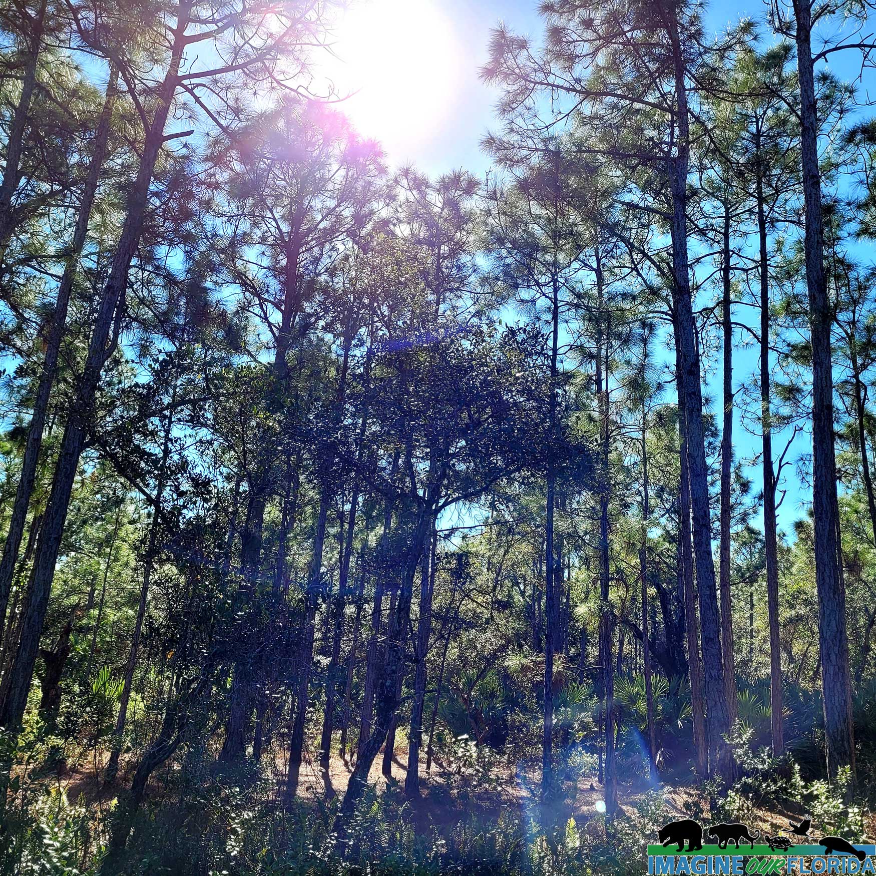
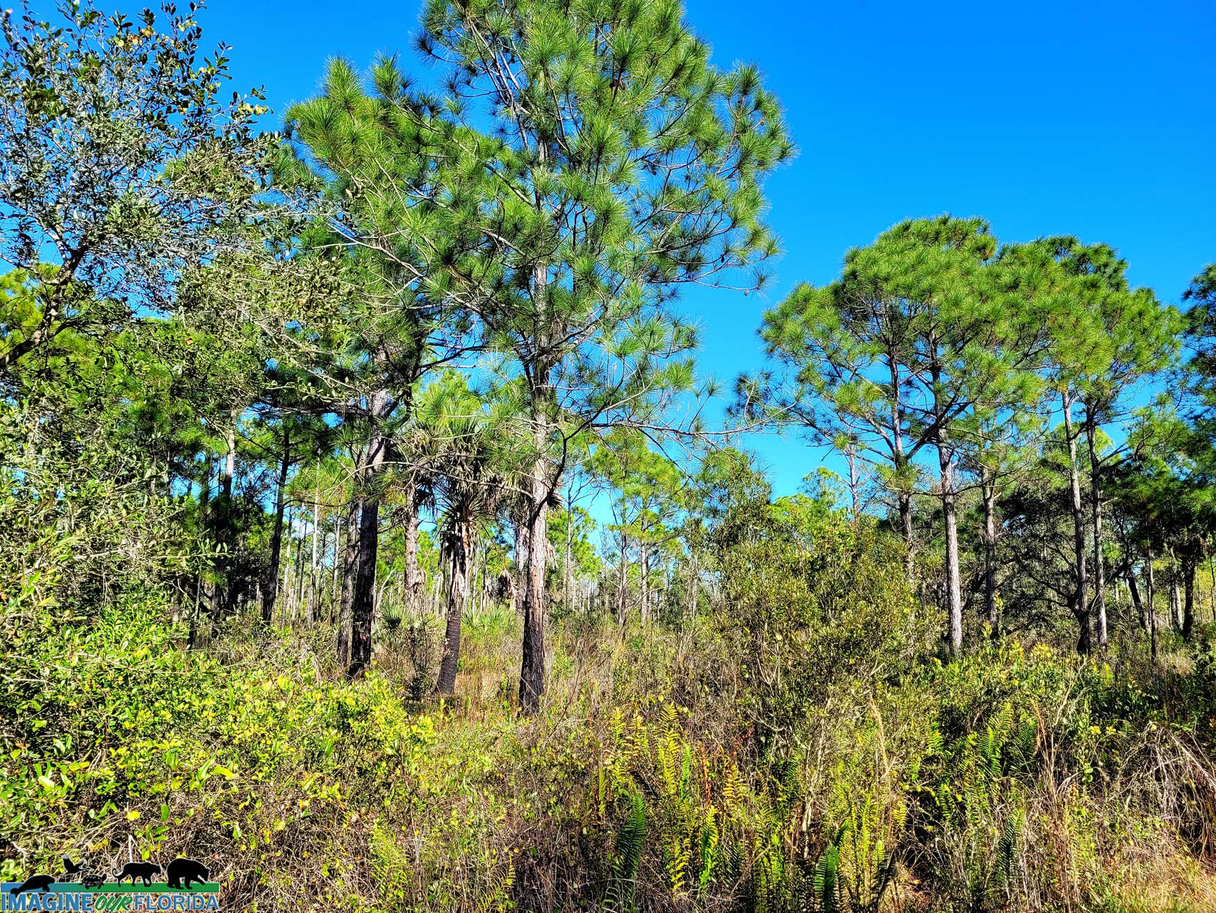
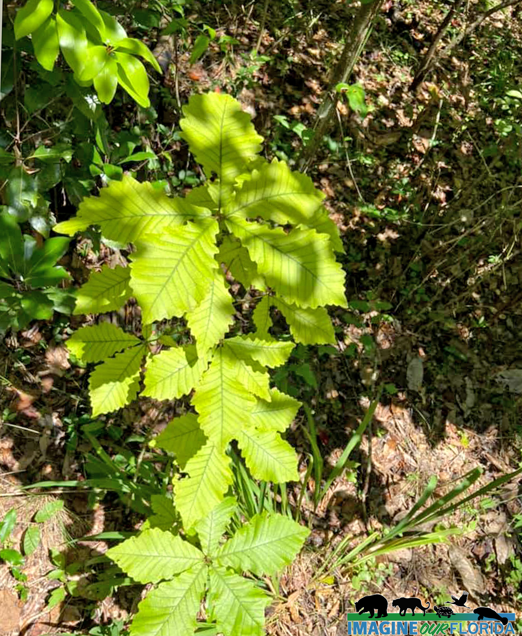
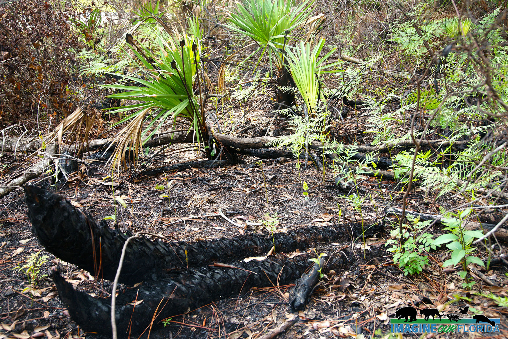
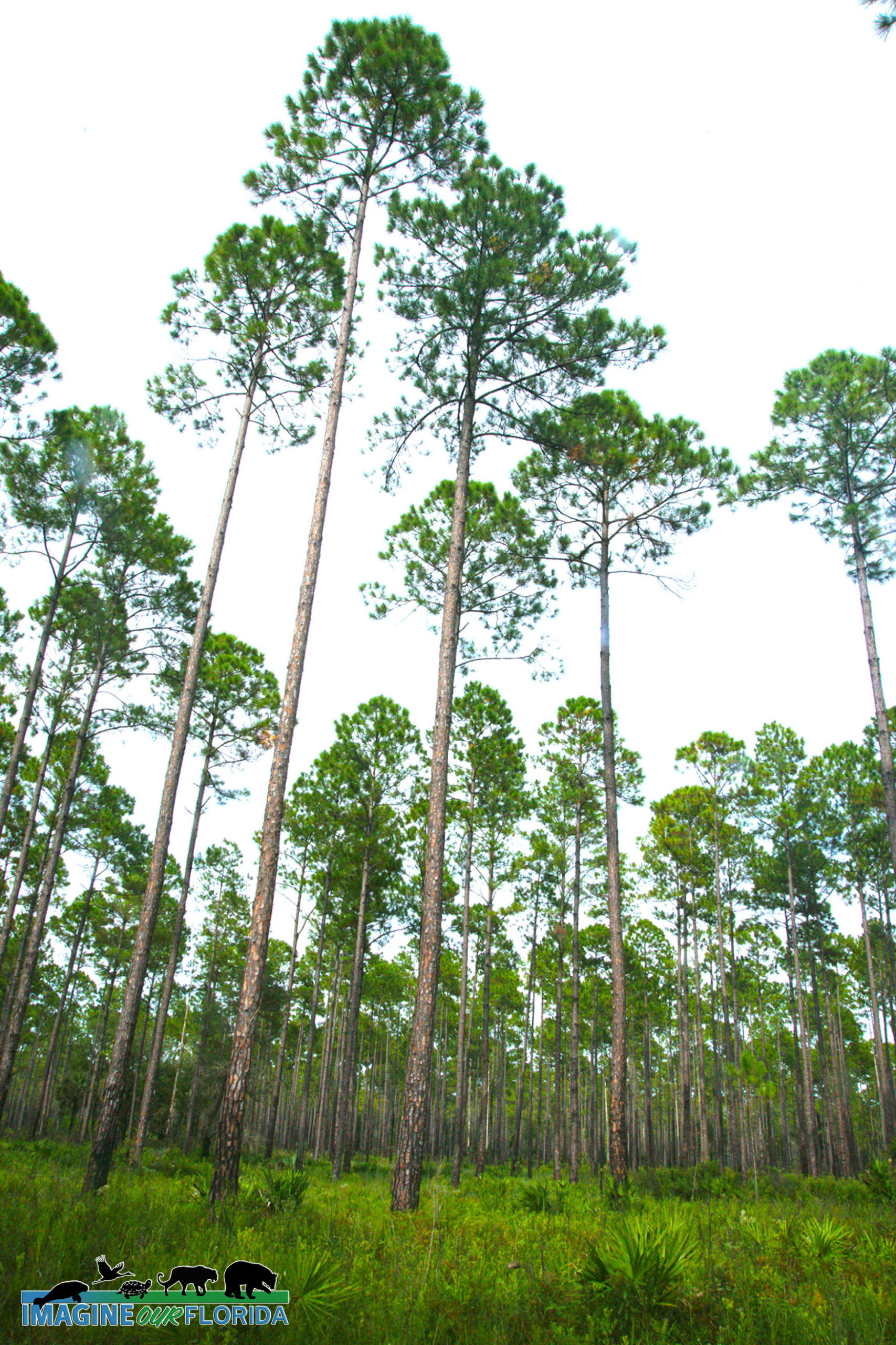
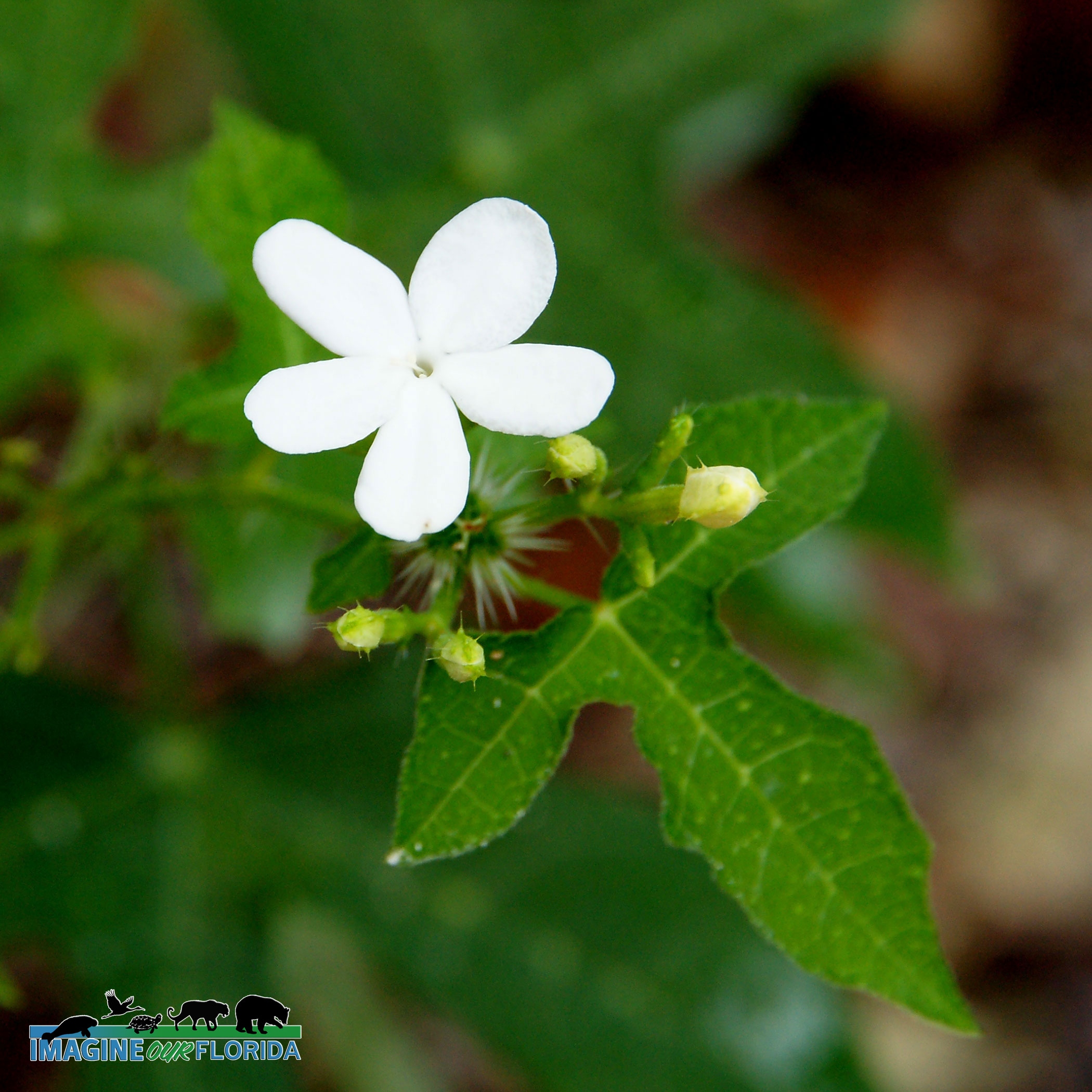
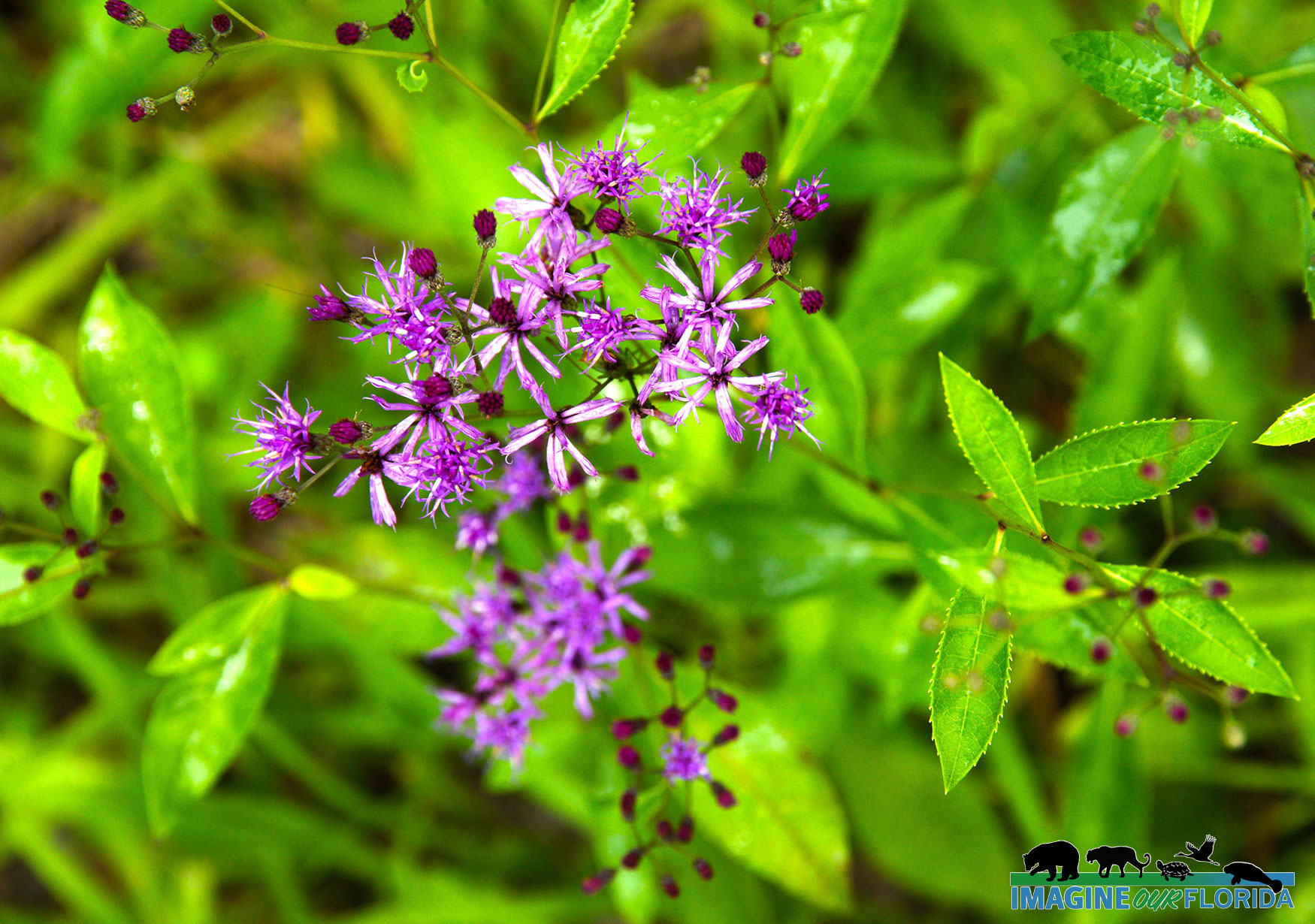
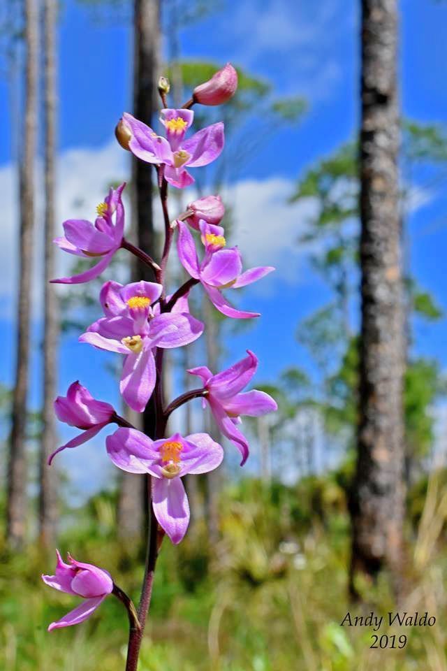
By the early 2000s, the damage to the forest and surrounding areas was acknowledged and restoration of the area began with the replacement of the non-native trees. Longleaf pine and wiregrass were re-planted in areas where they grew long ago. Brazilian free-tail bats and Rafinesque’s big-eared bats have been encouraged to move back to their native land with the addition of man-made bat houses. Native pollinators are once again in abundance with the help of recently planted wildflowers, a pollinator garden, and bee blocks.
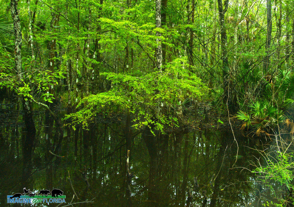
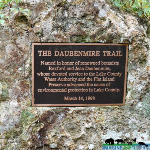
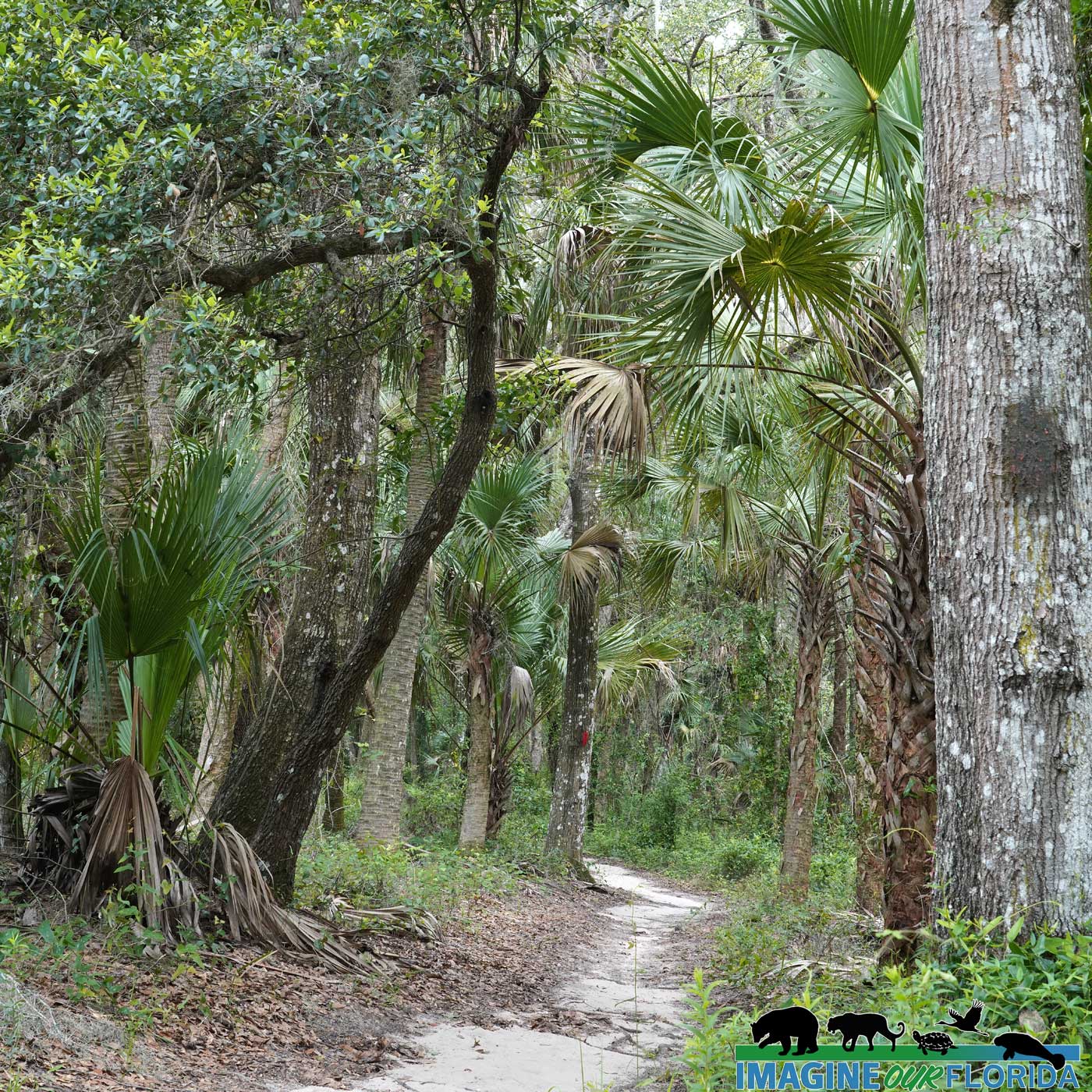
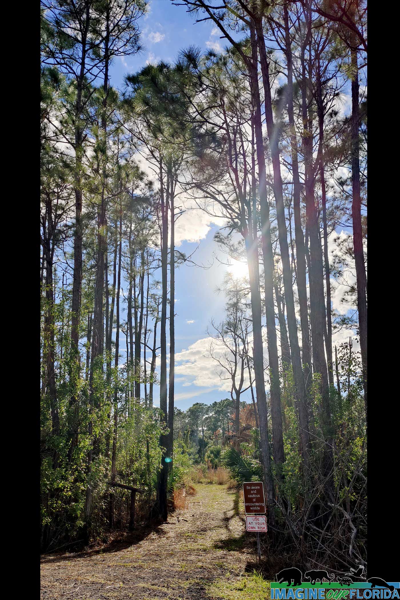
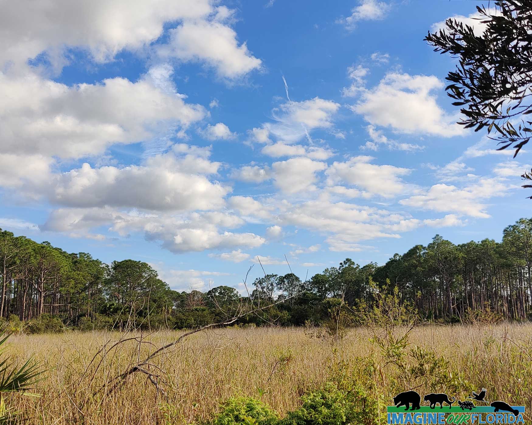
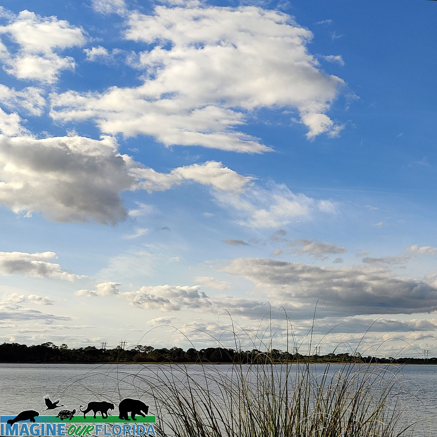
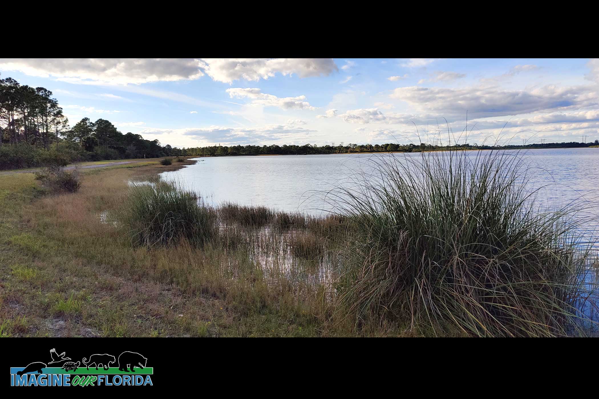
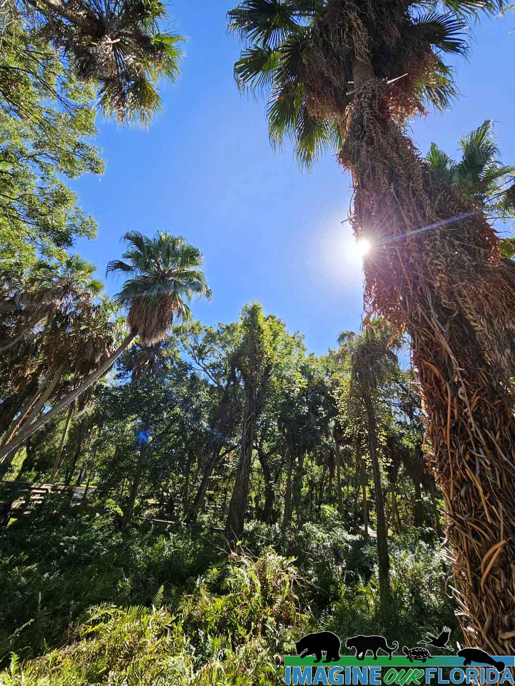
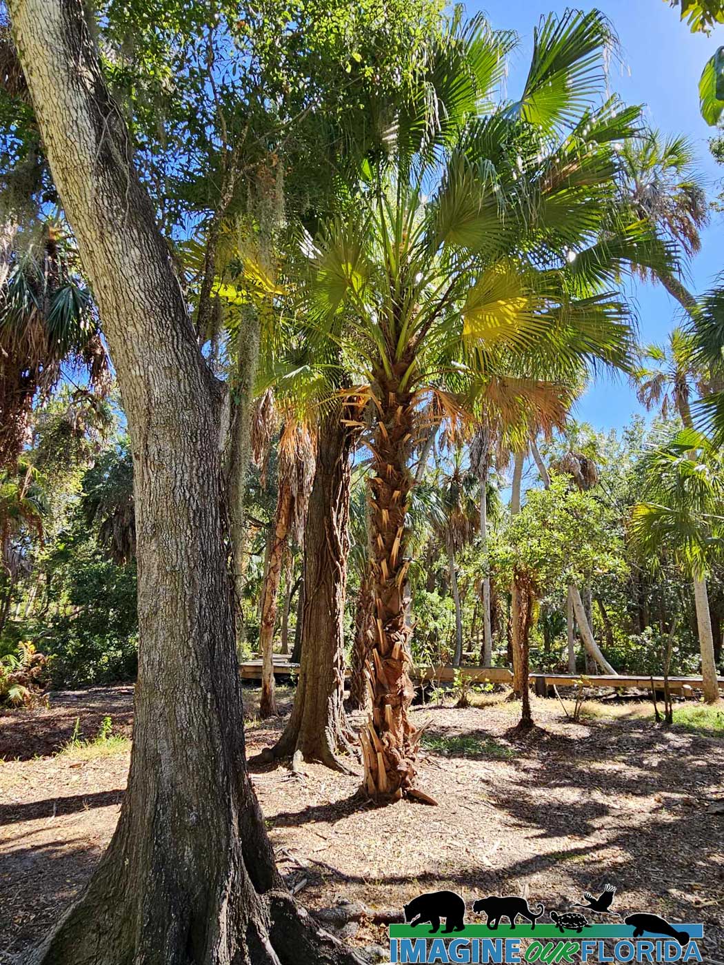
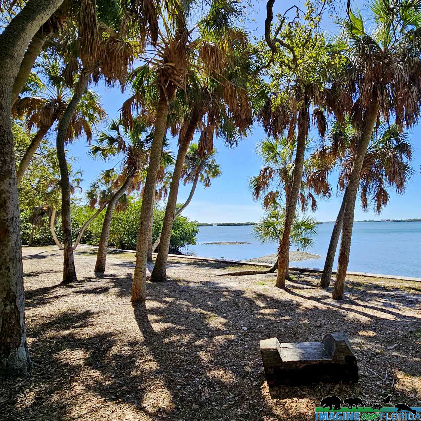
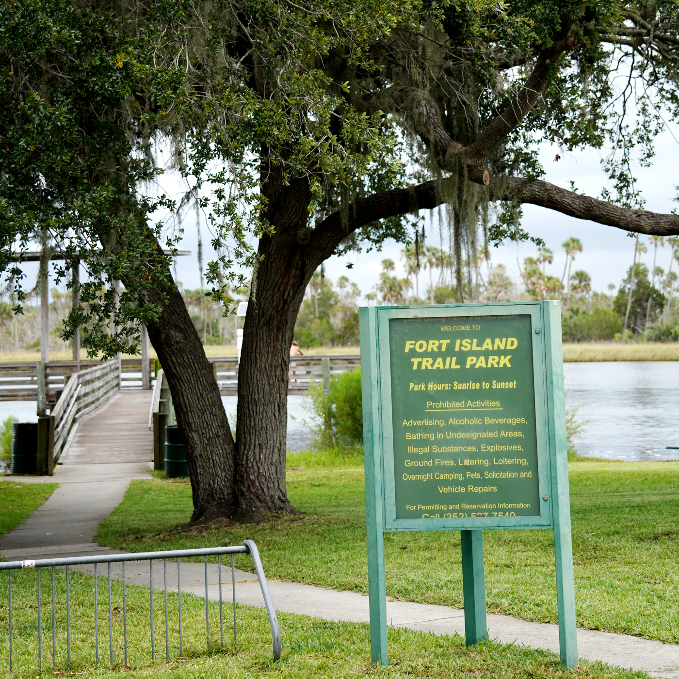
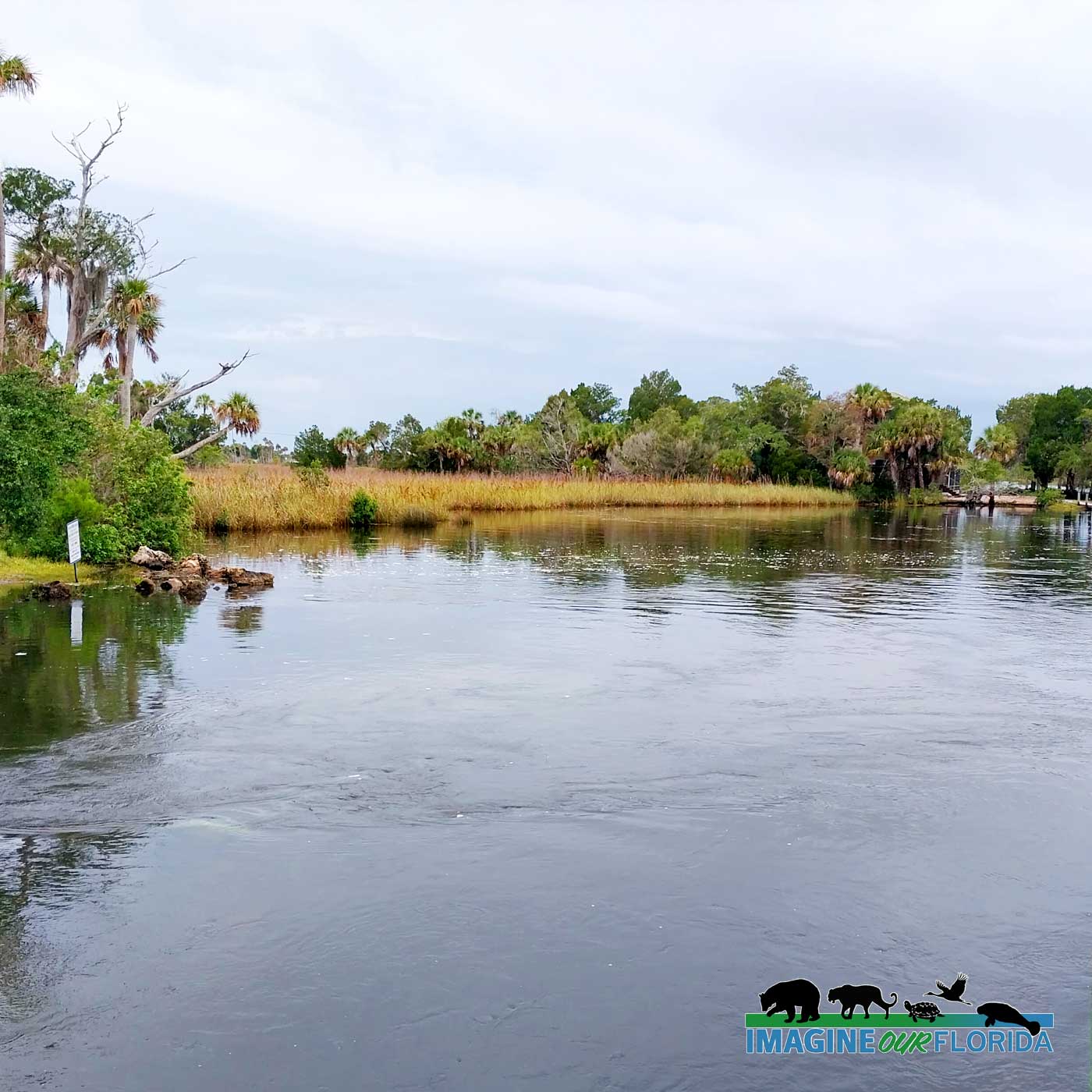
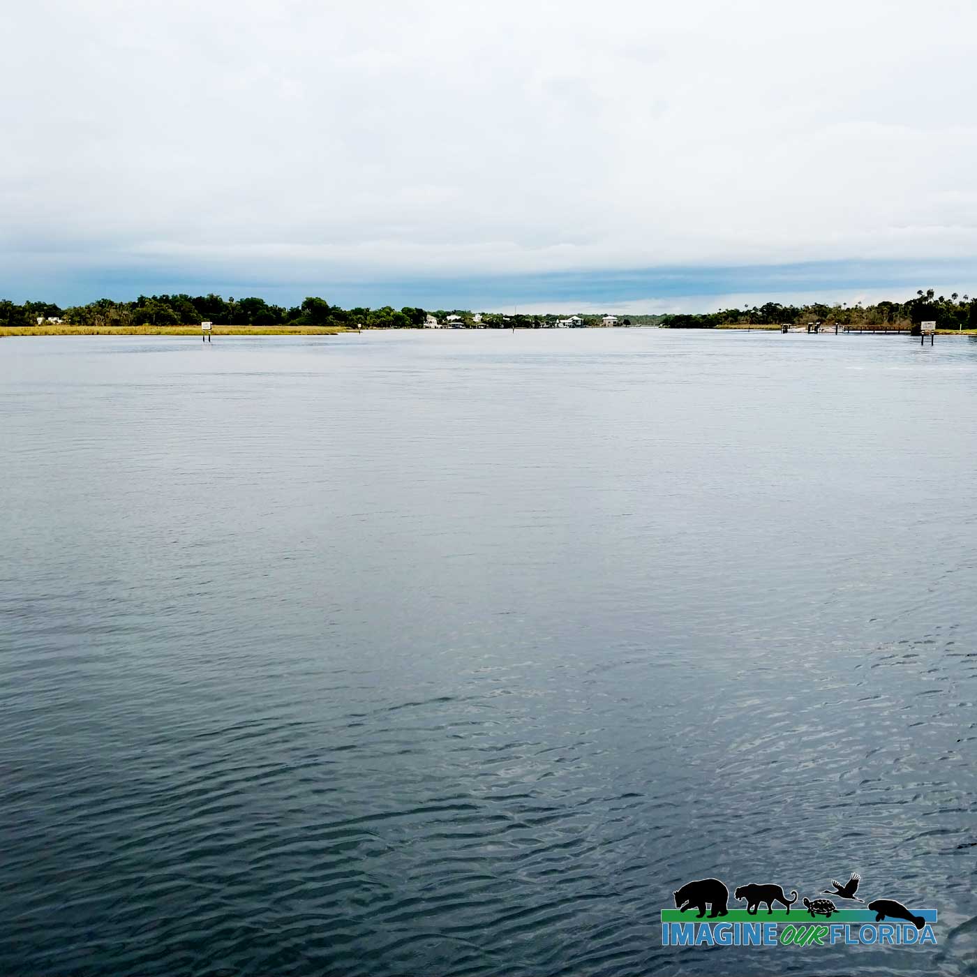
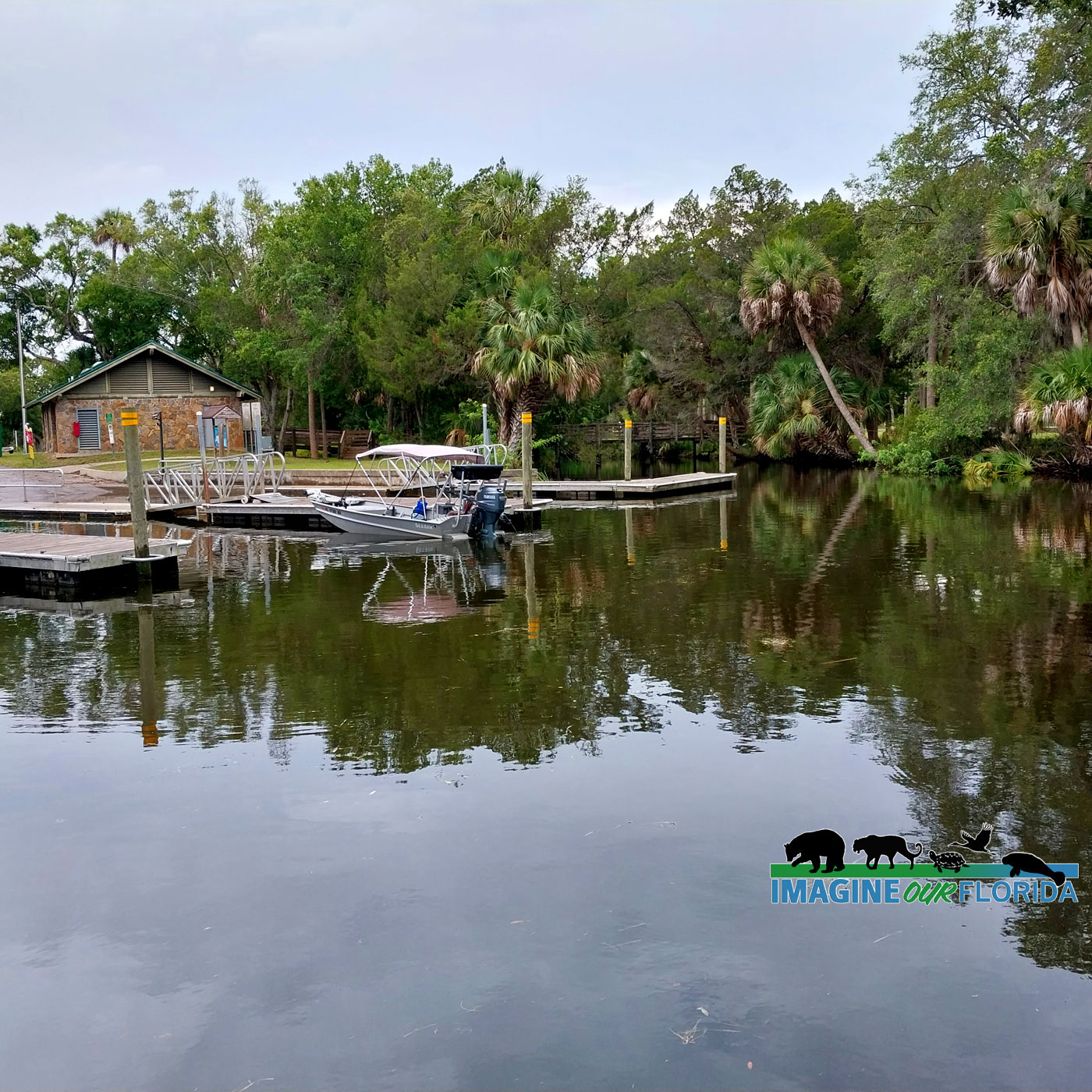
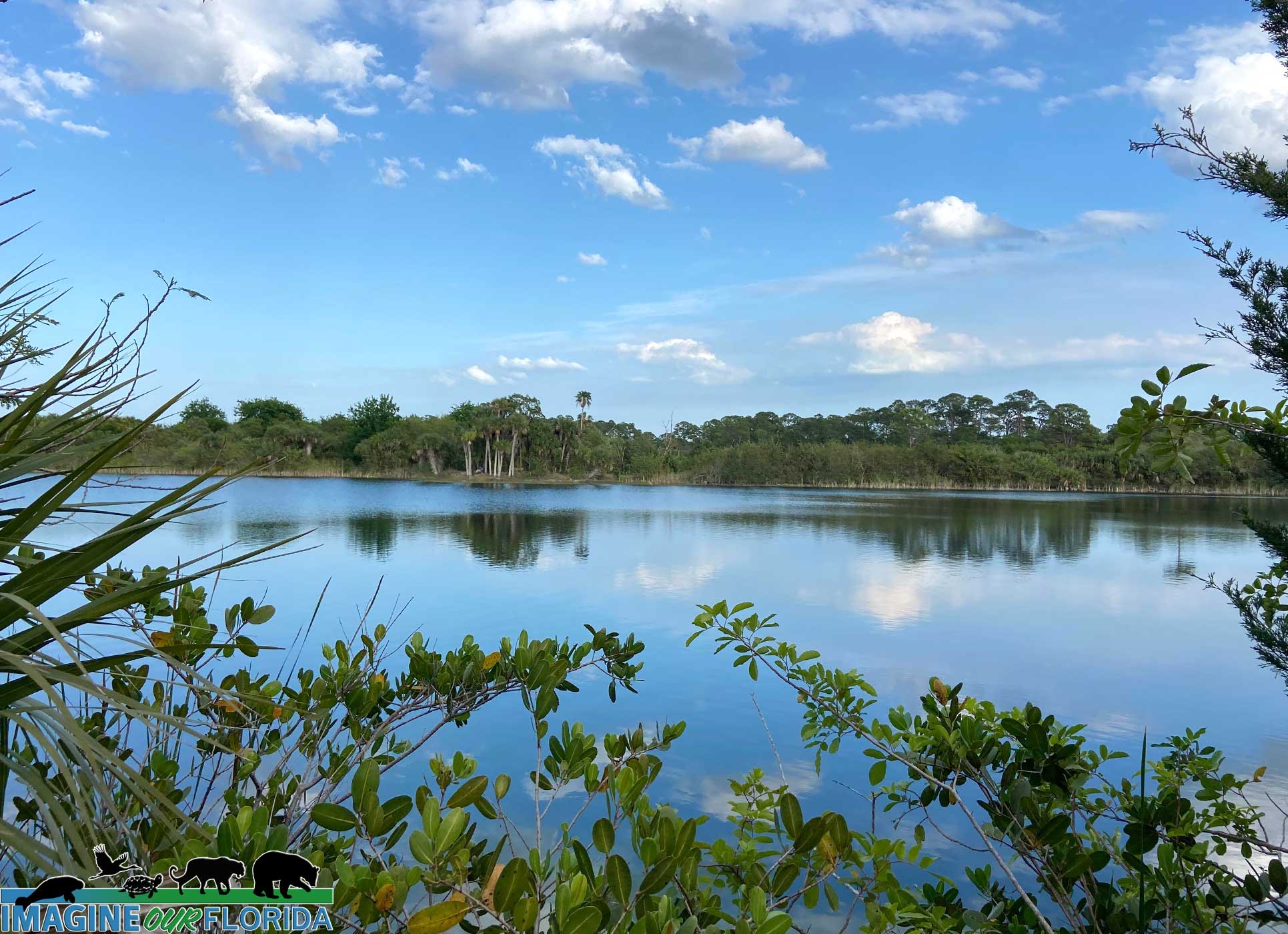
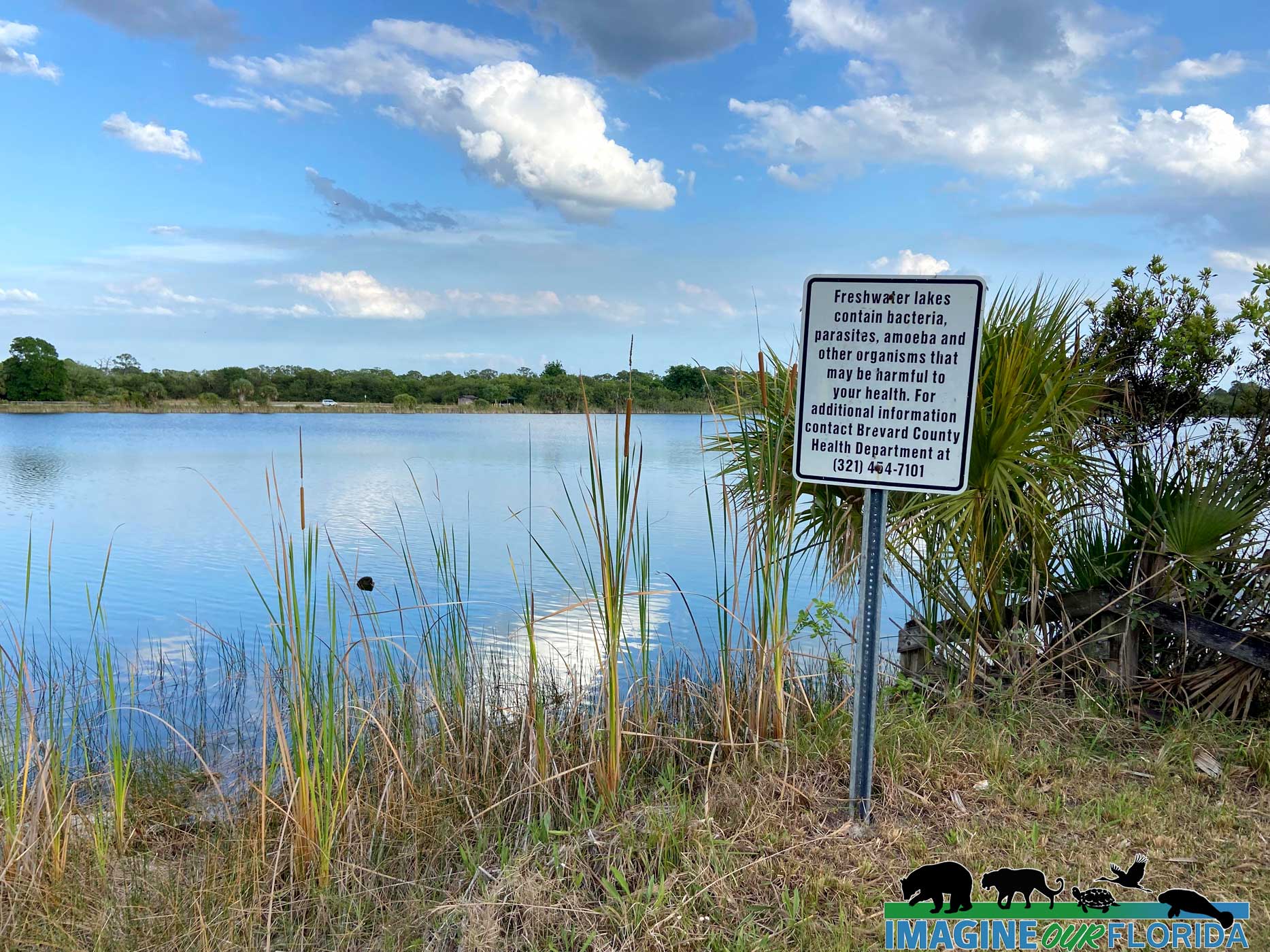
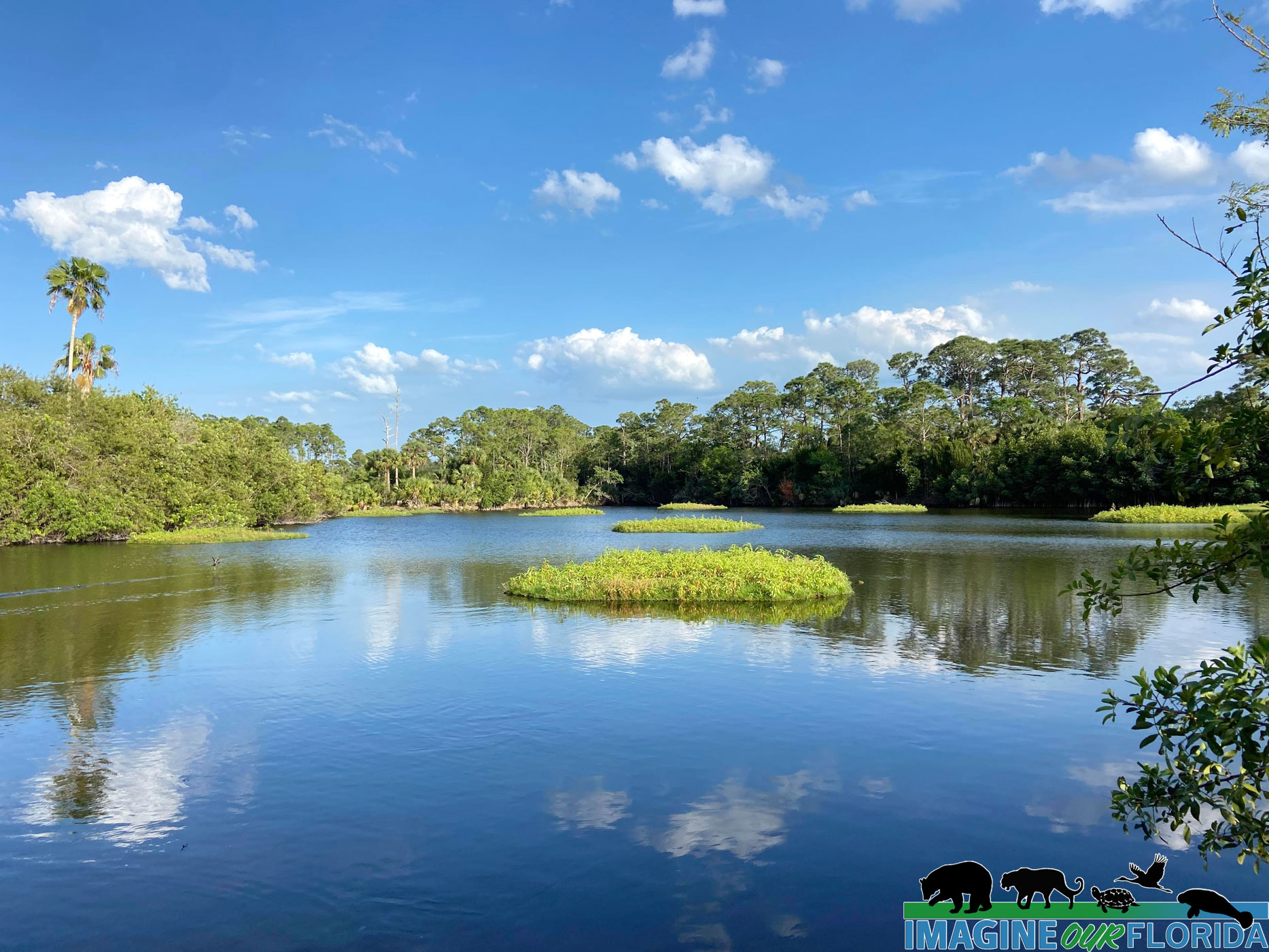
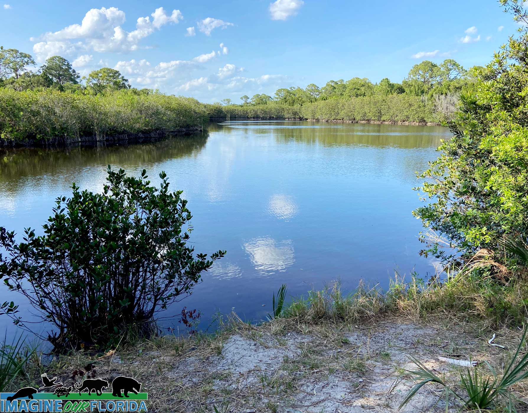
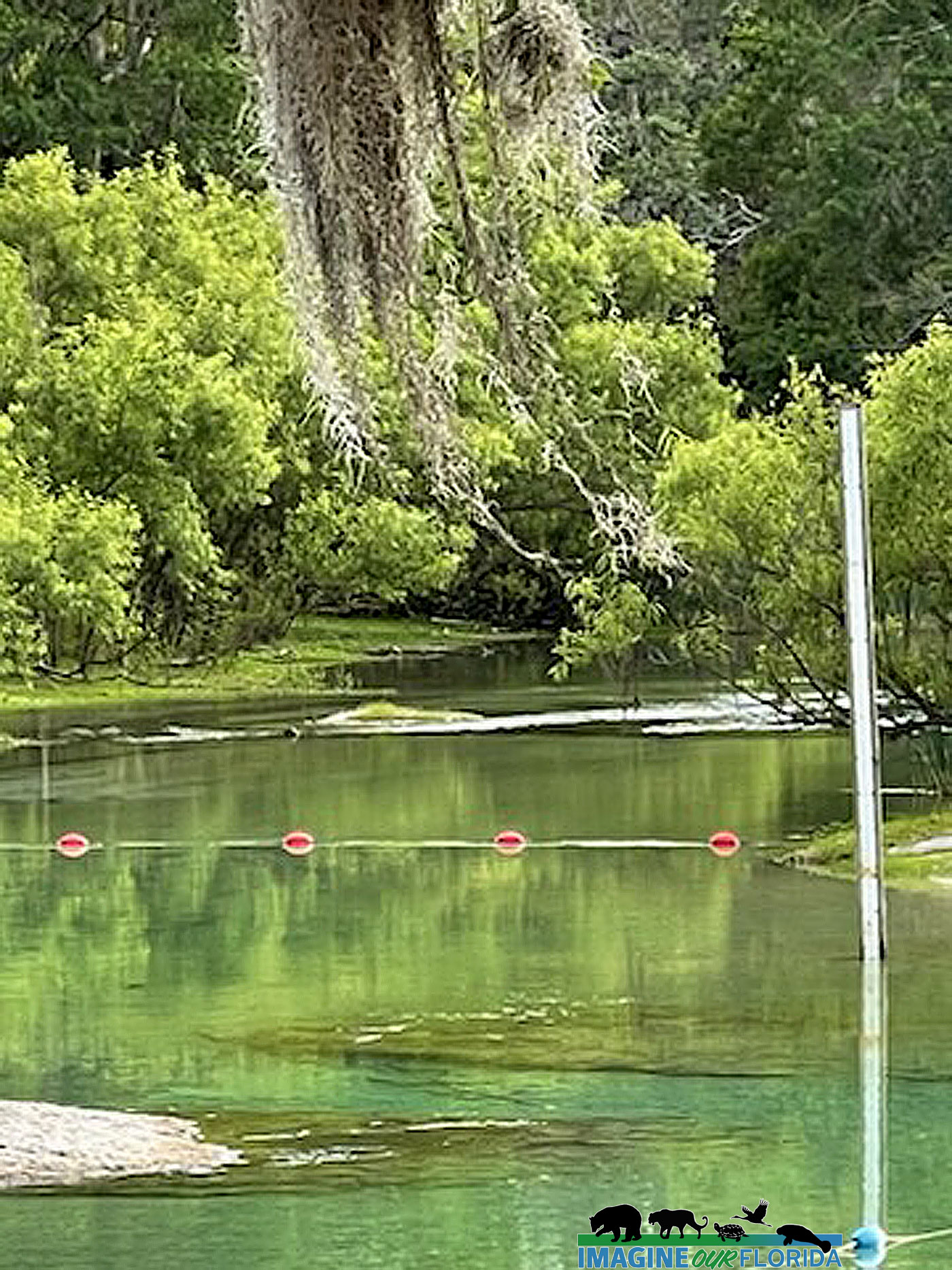
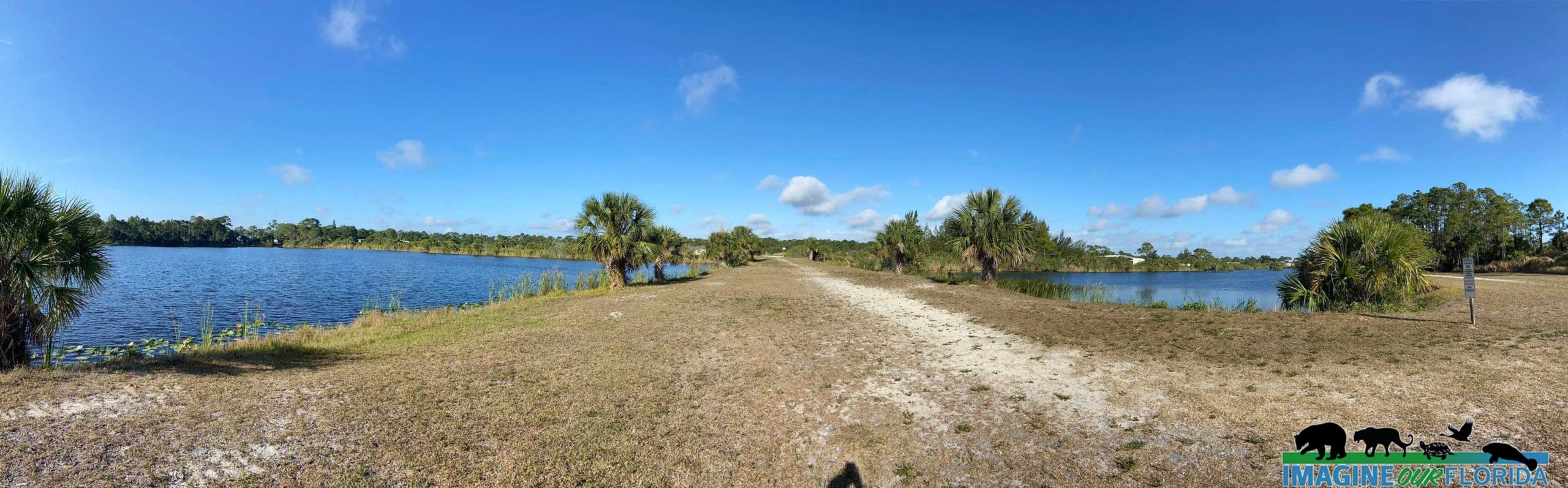
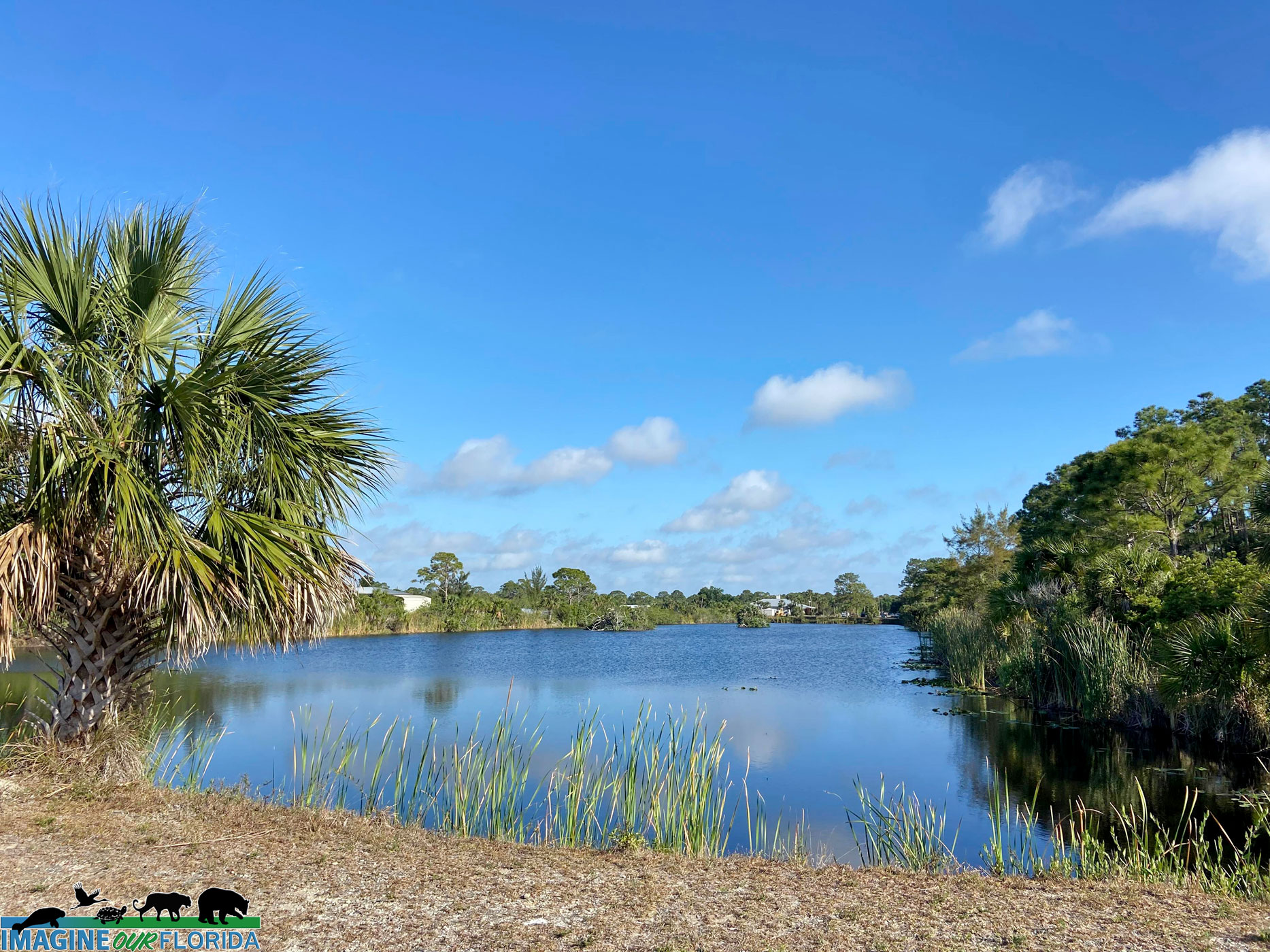
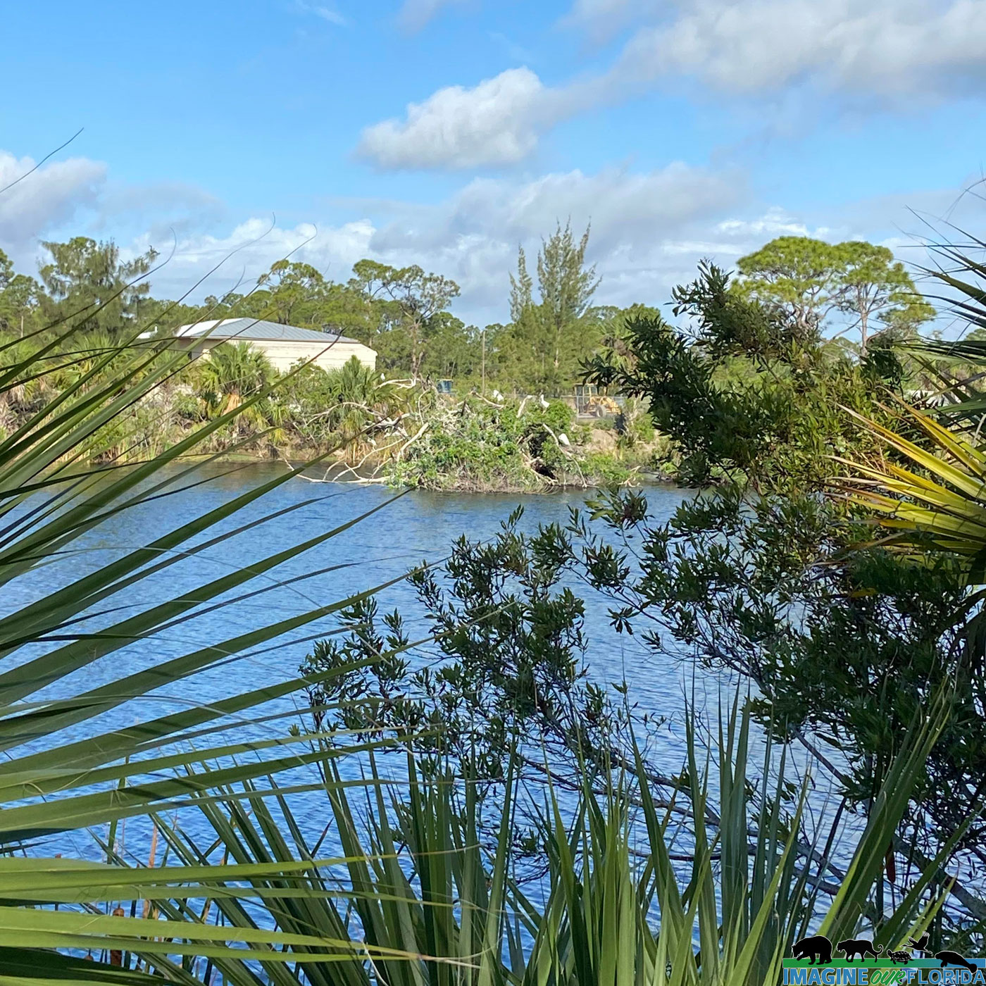
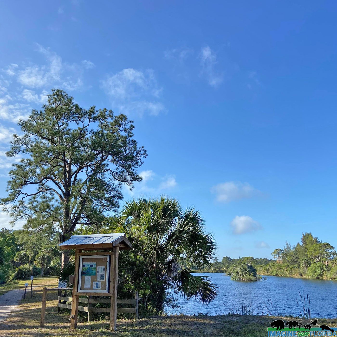
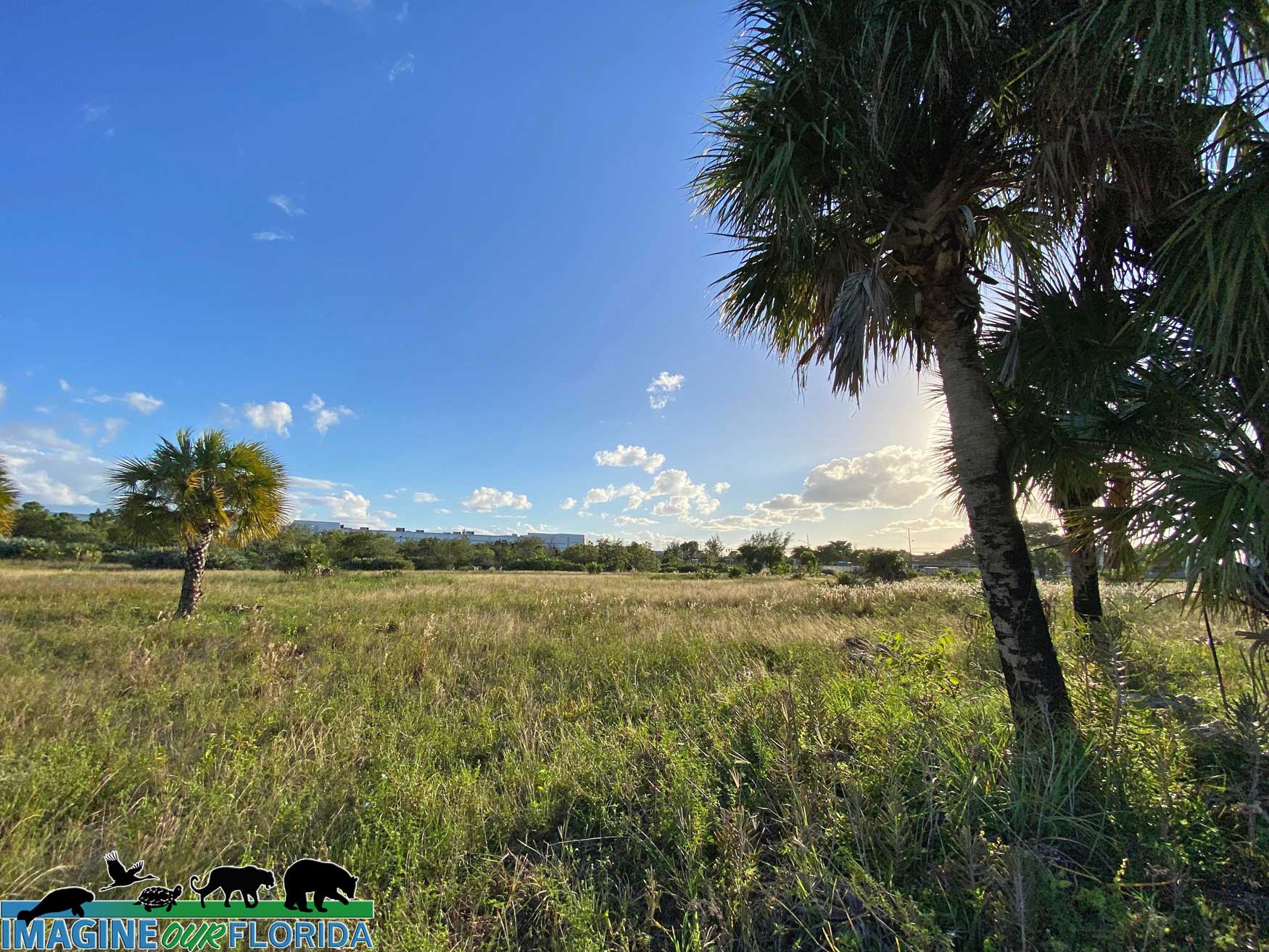
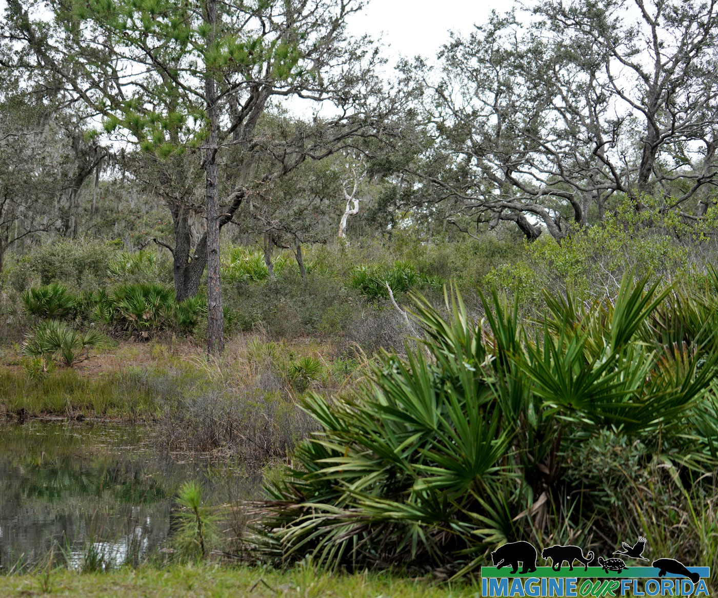
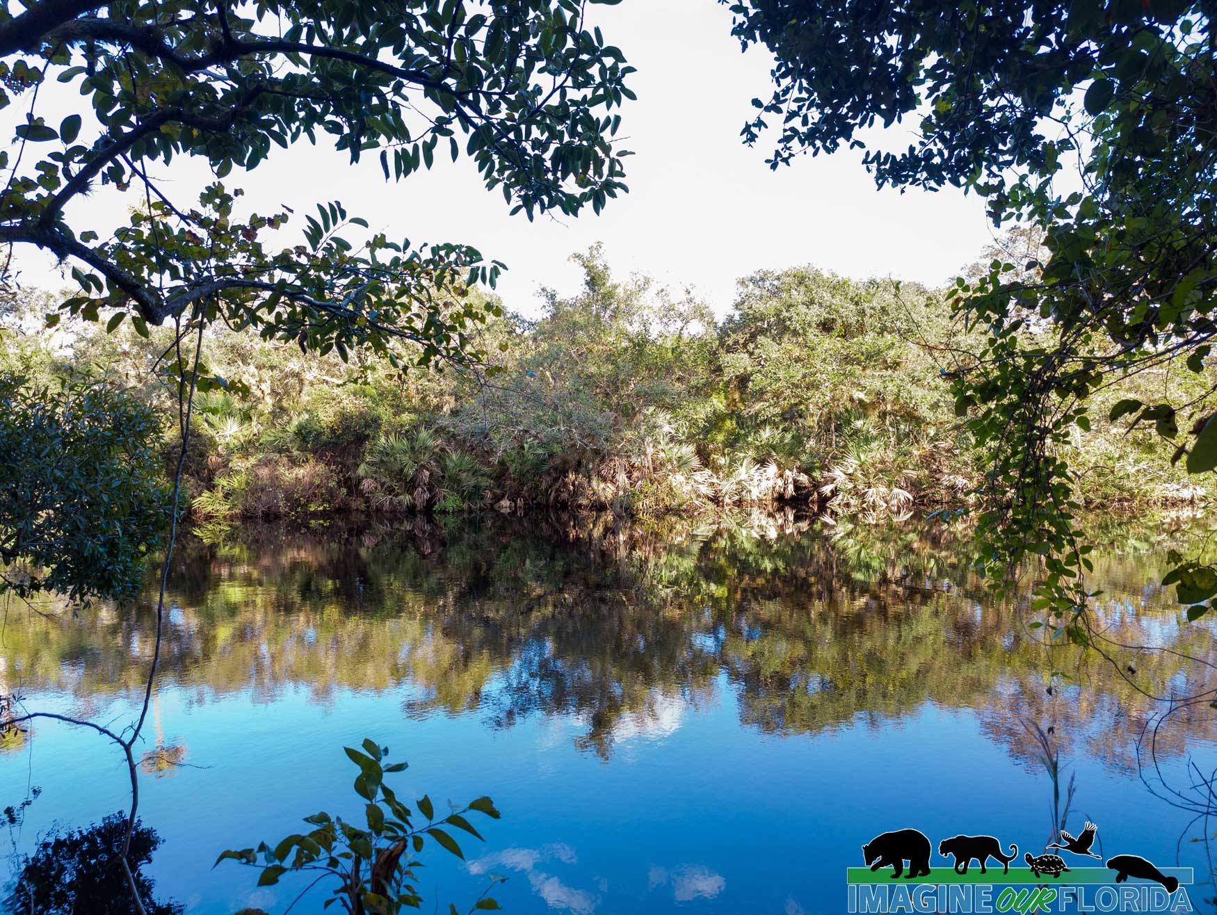
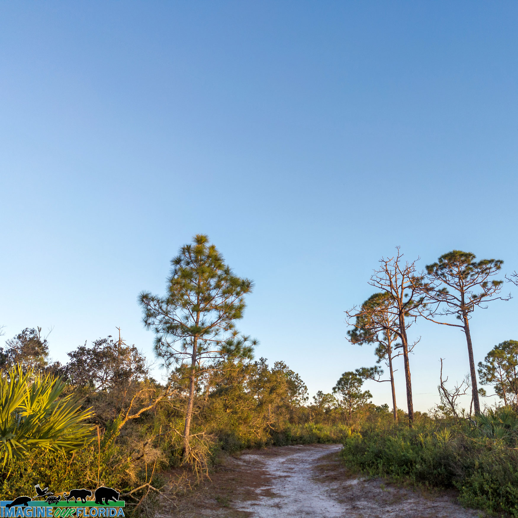
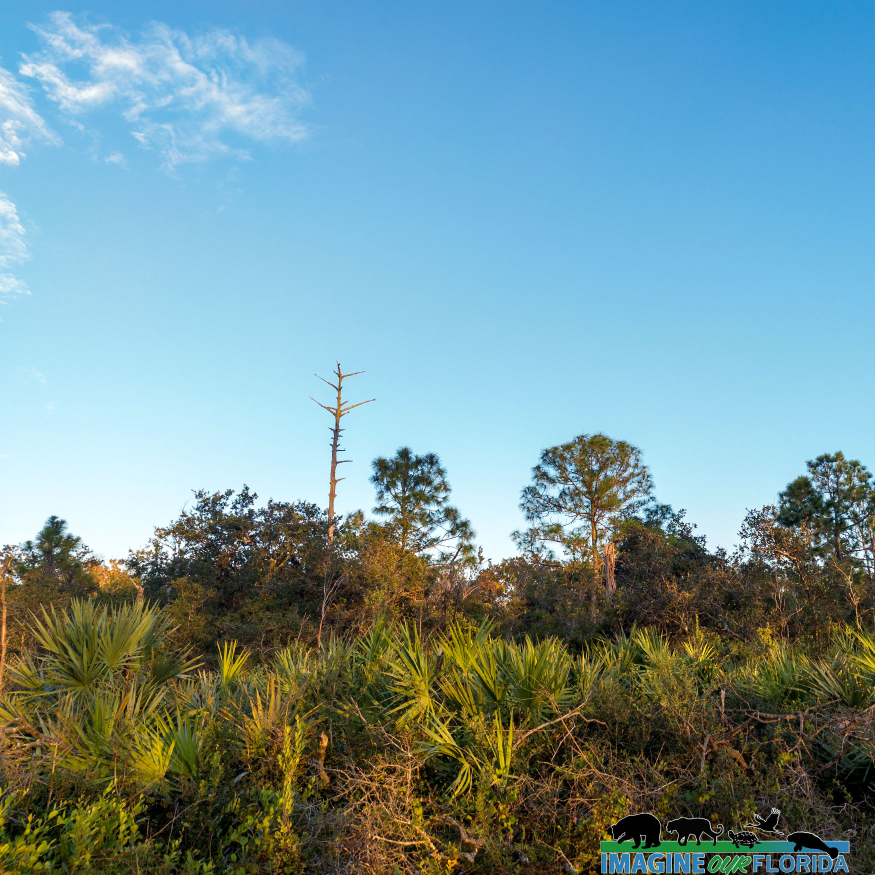
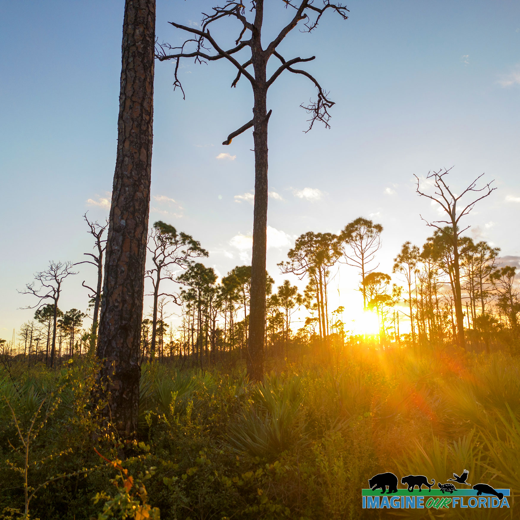
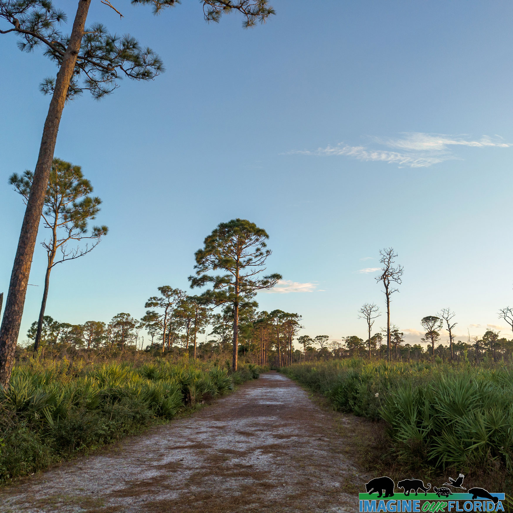
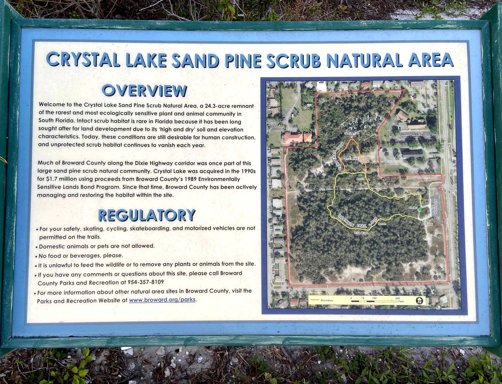
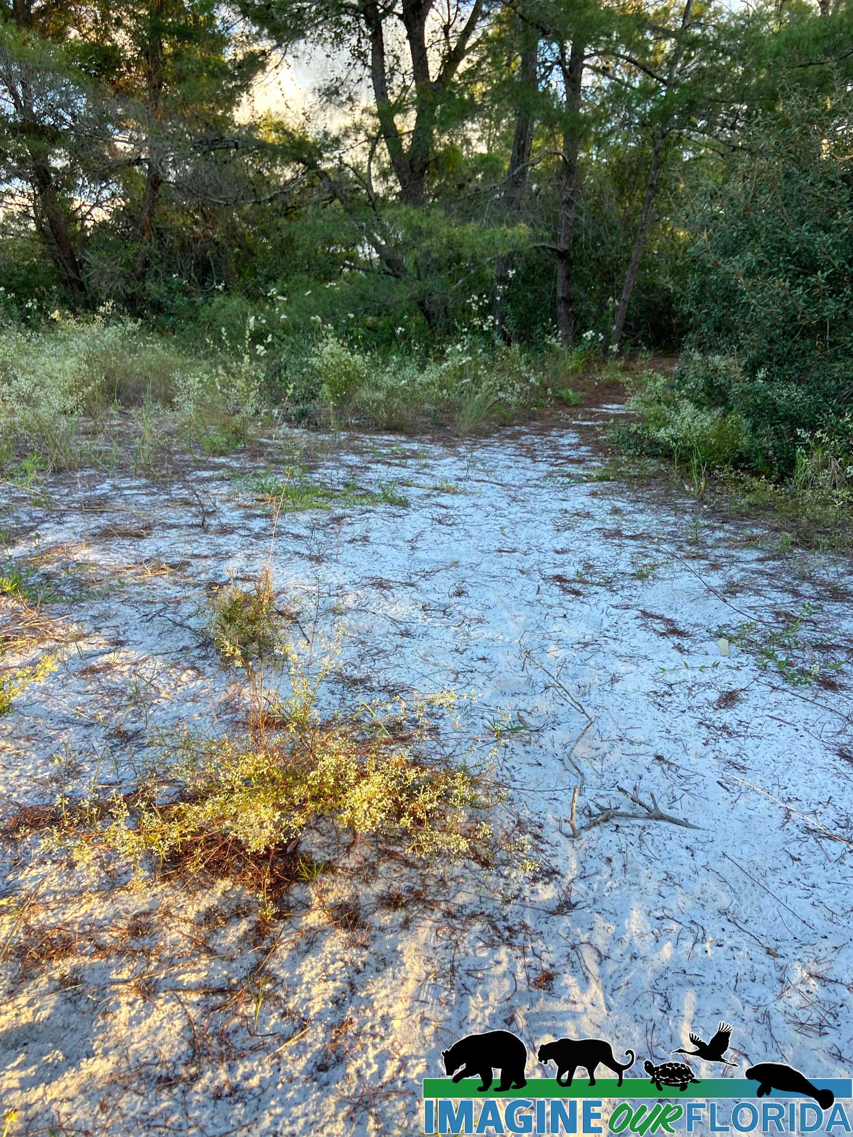
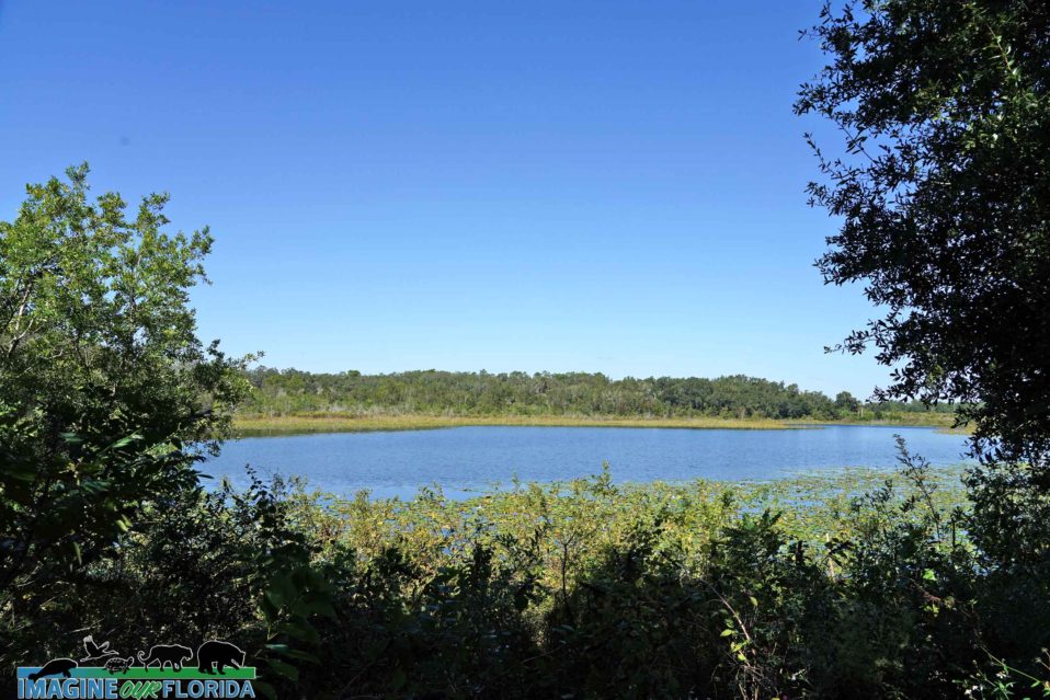
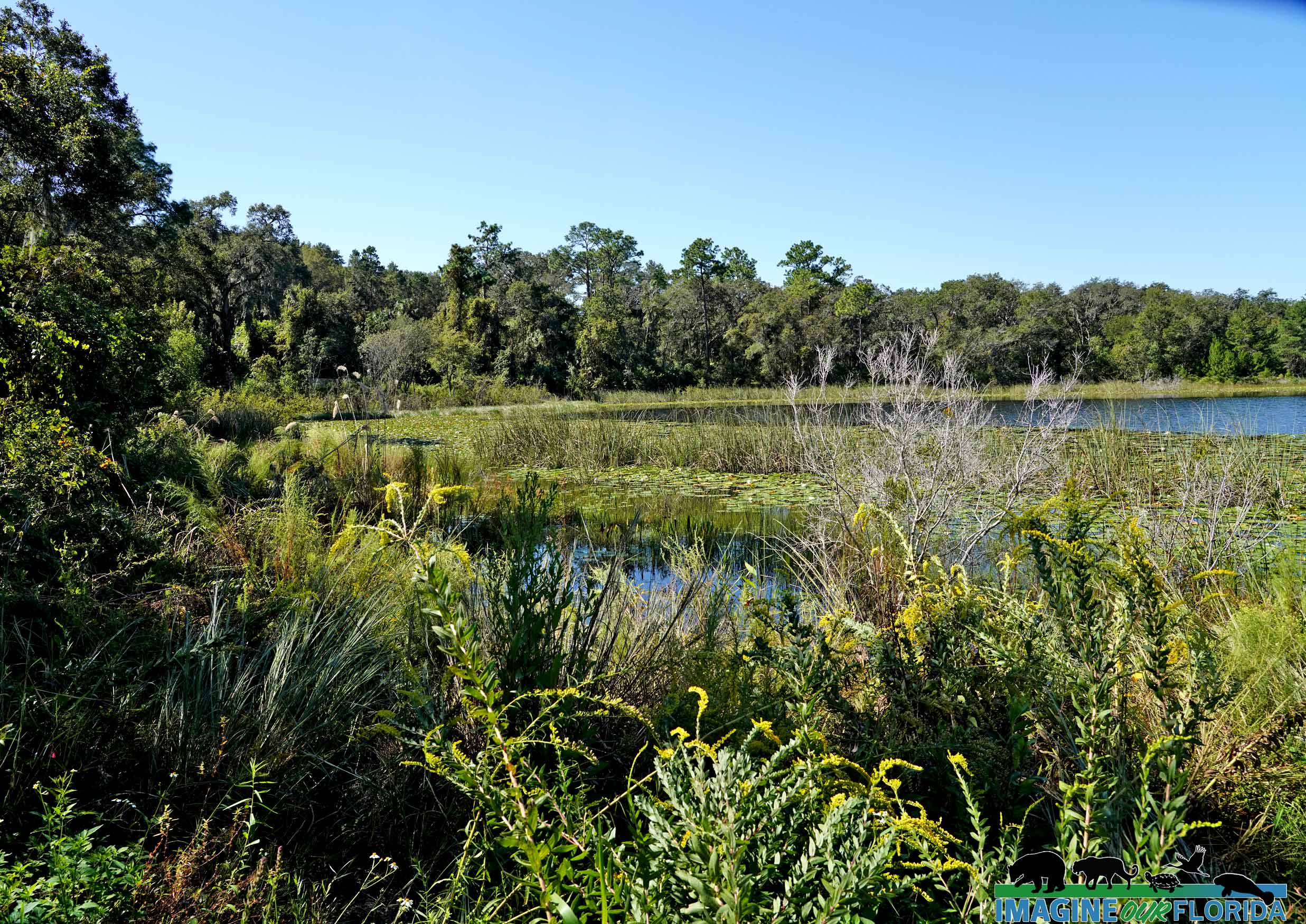
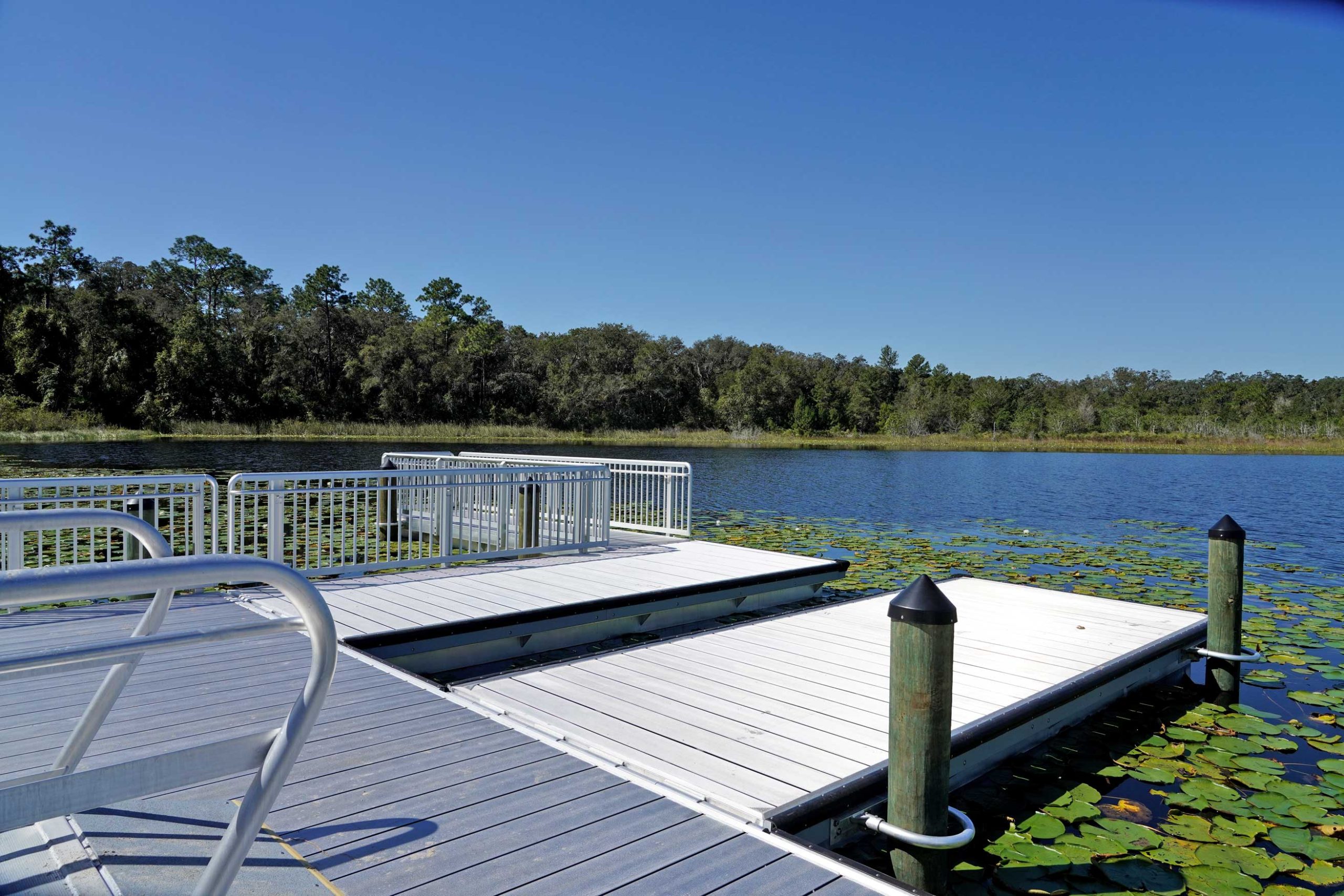
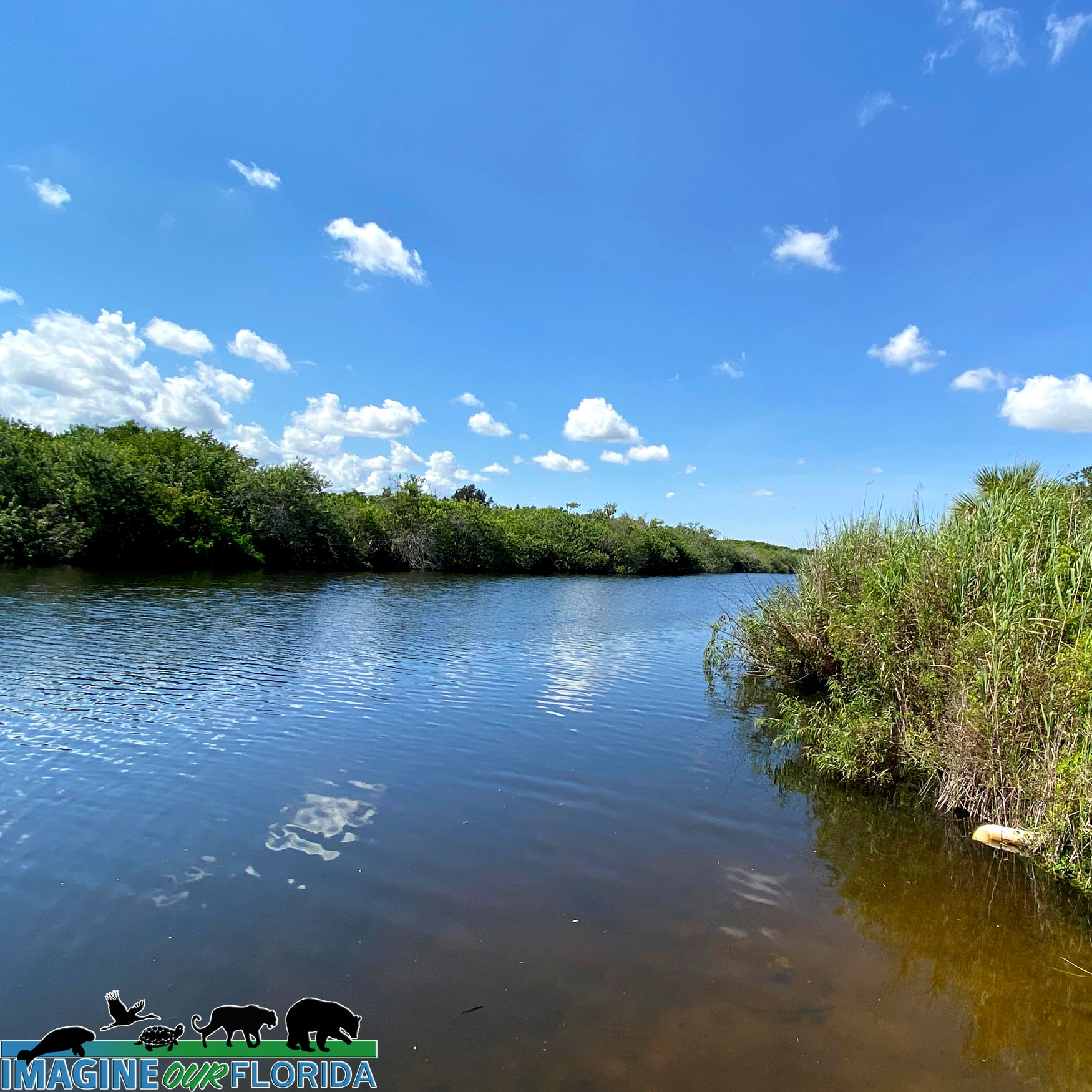
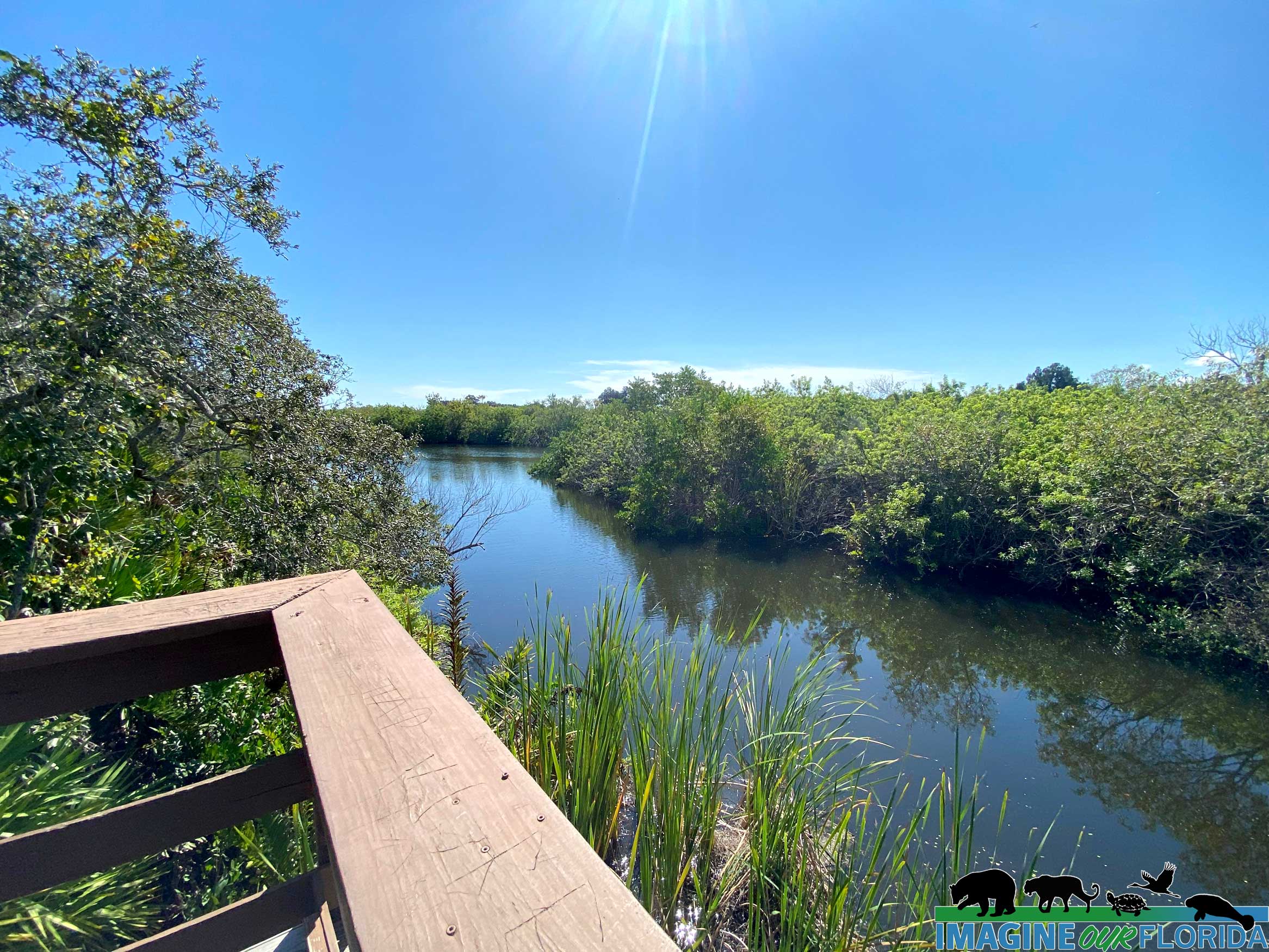
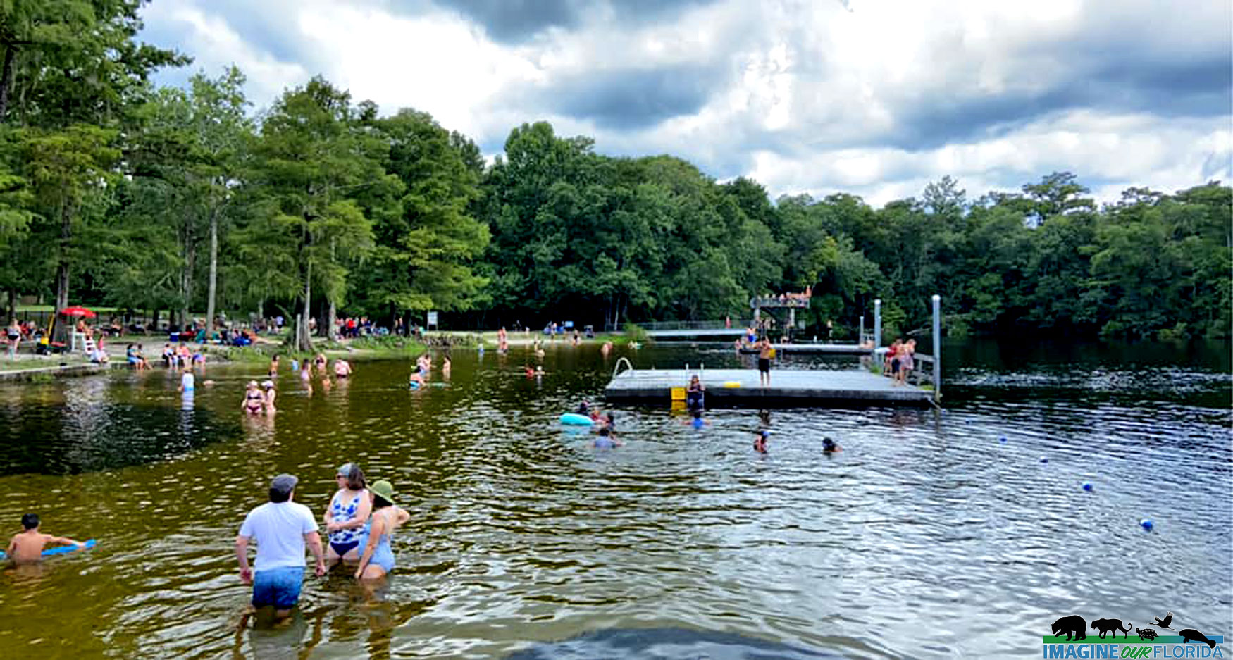
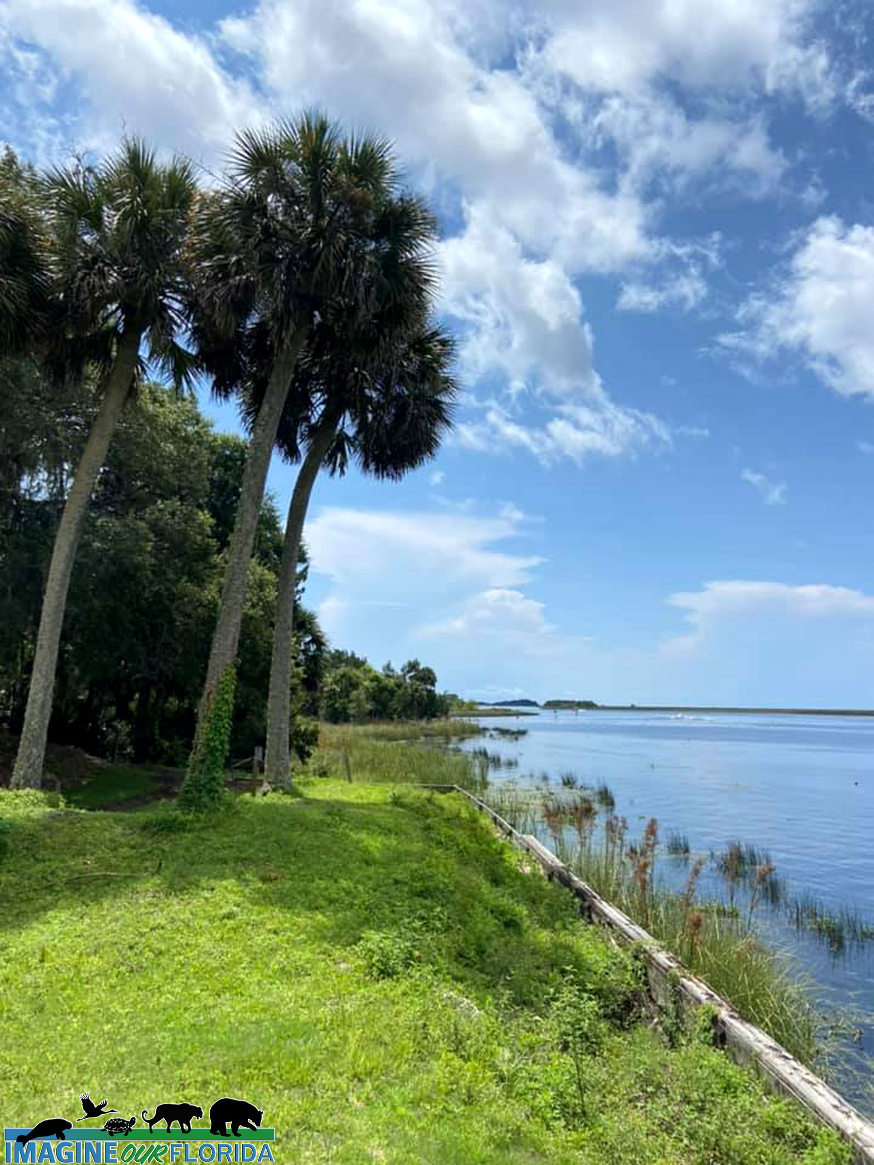
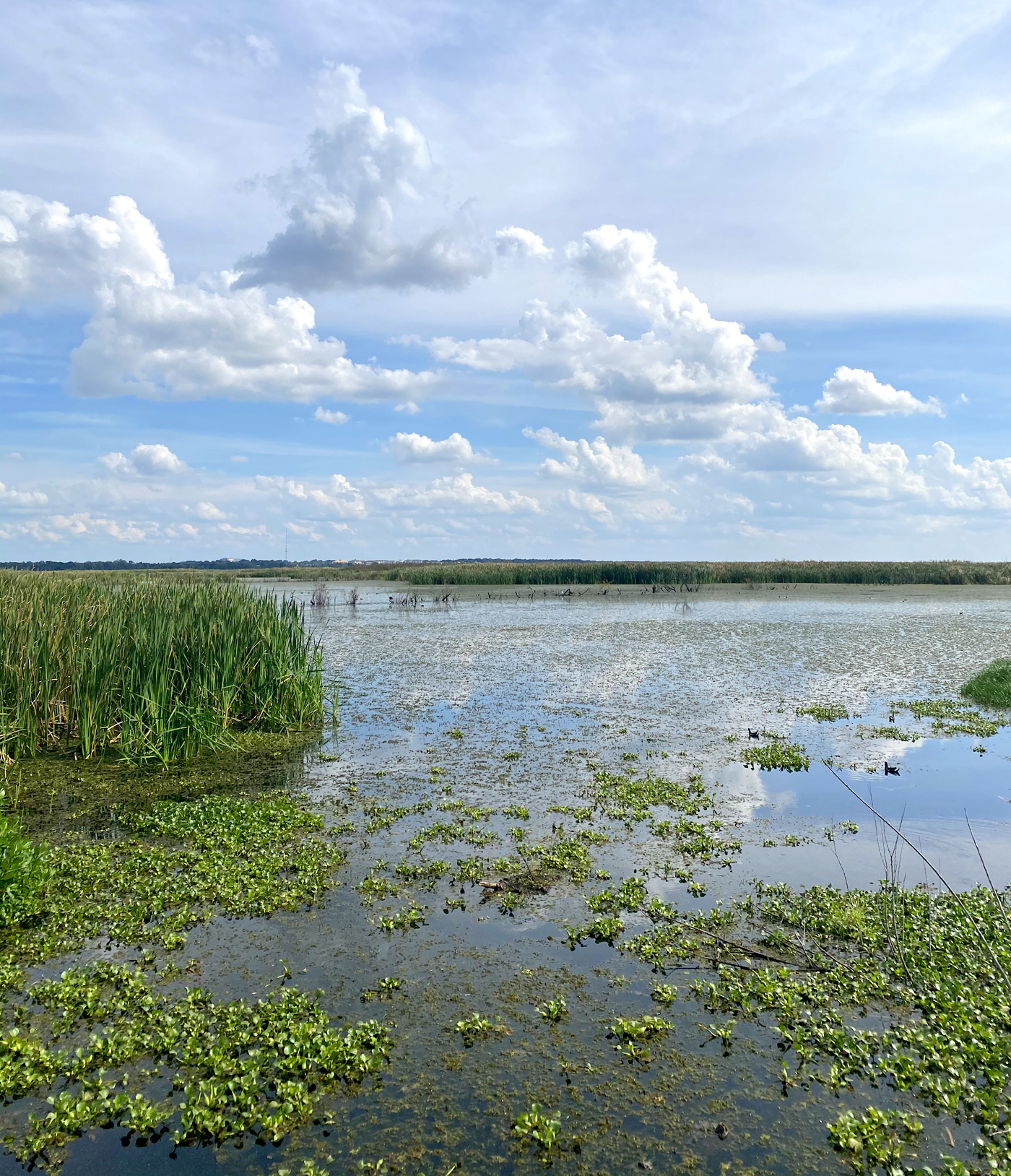
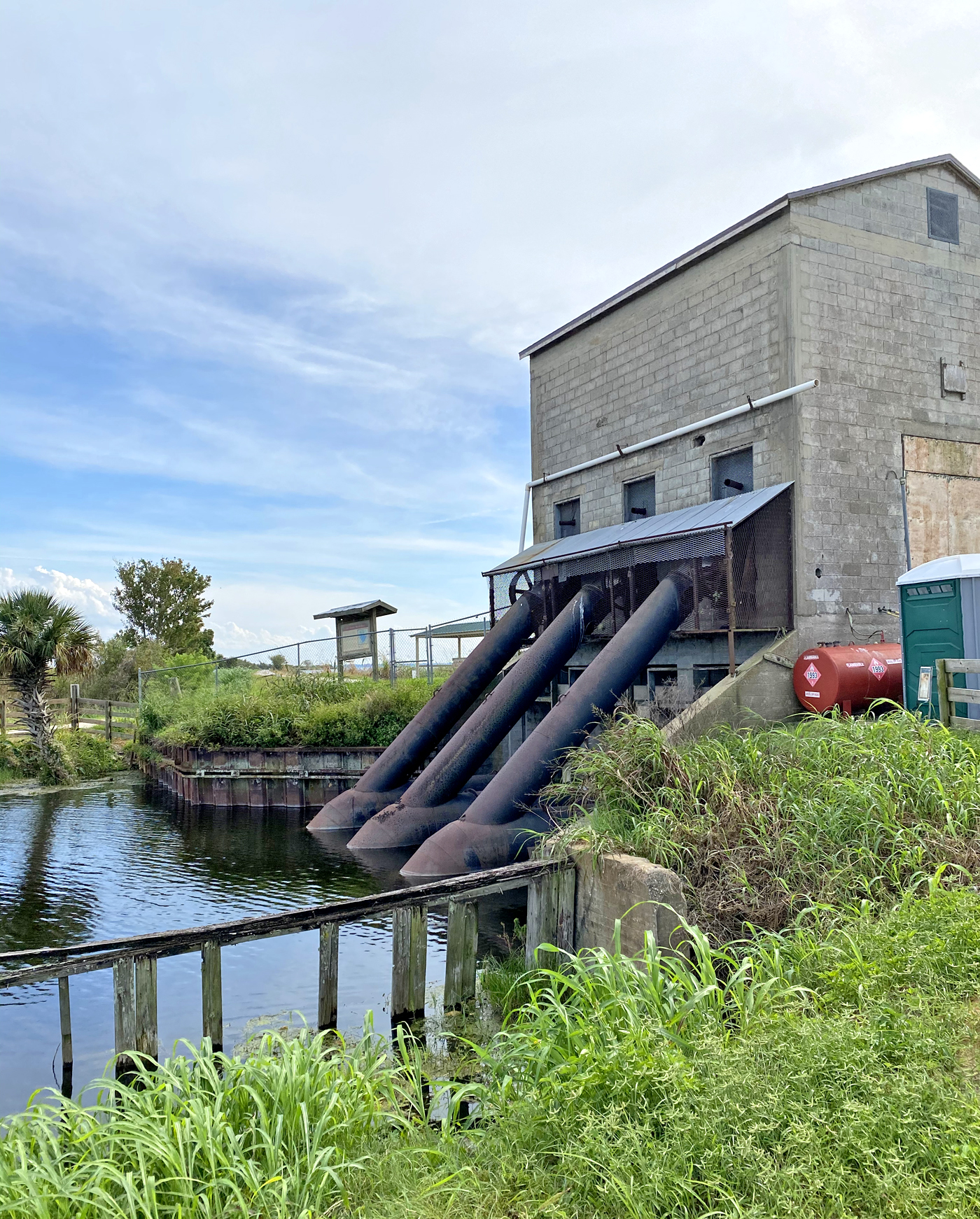
The Lower Suwannee National Wildlife Refuge was established to protect the water quality of the Suwannee River. It consists of 53,000 acres, 30 miles of Gulf coastline, and the last 20 miles of the nostalgic Suwanee River.
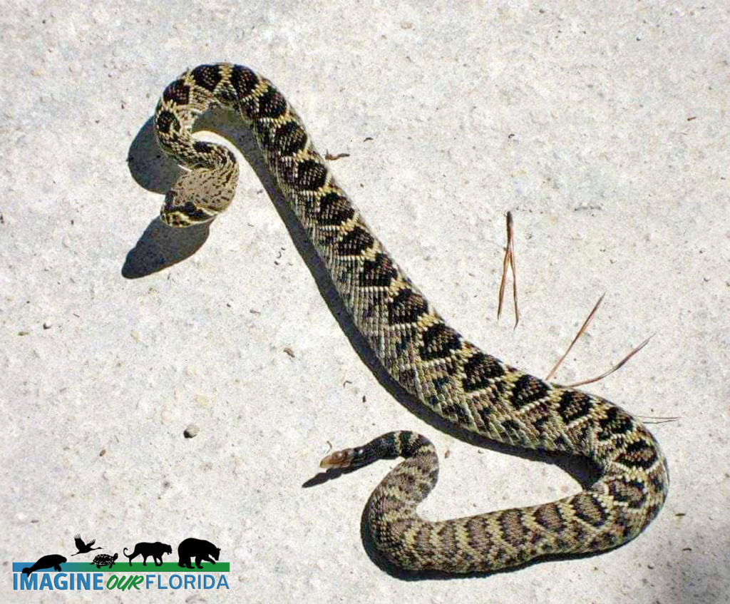
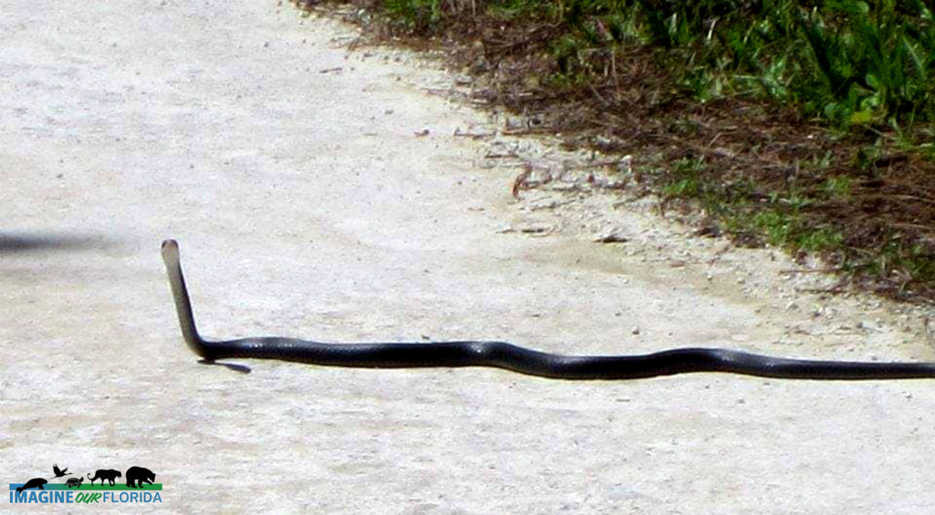
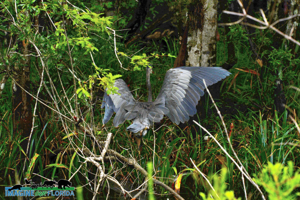
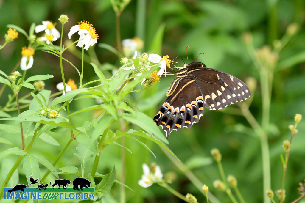
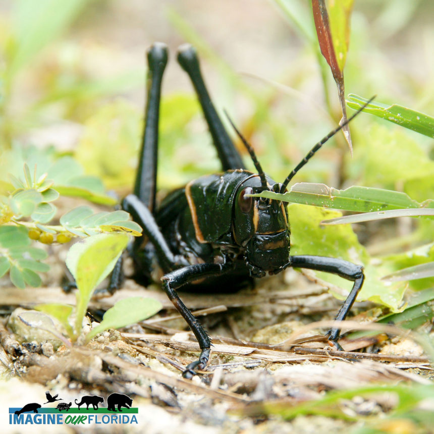
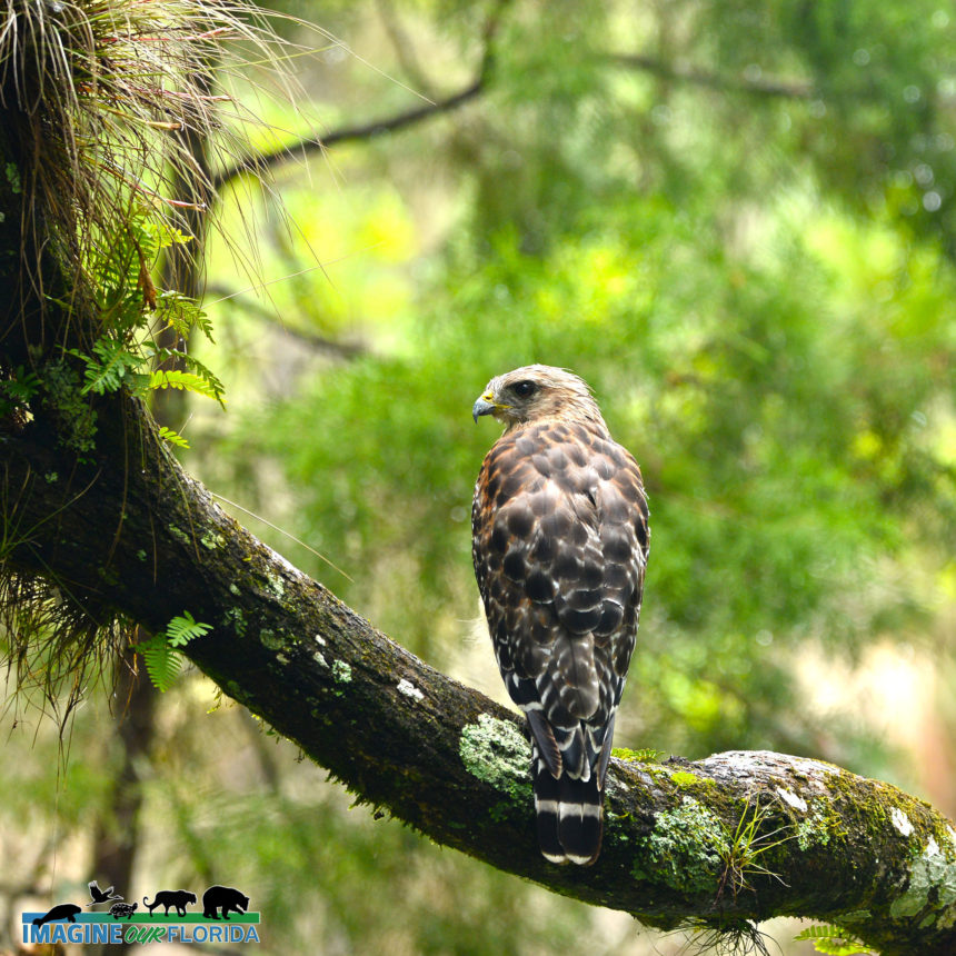
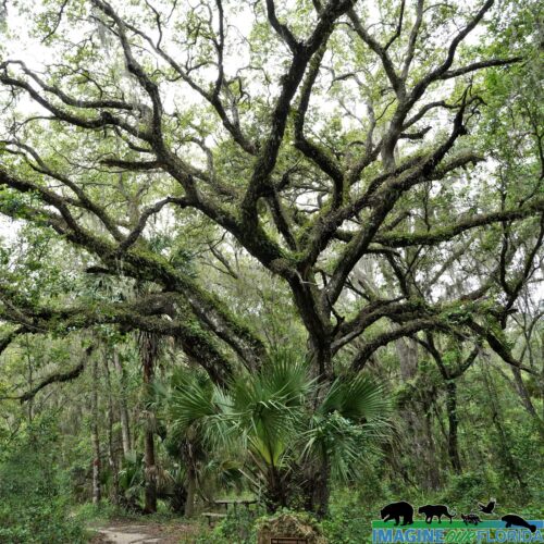
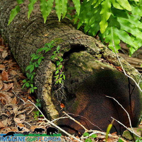
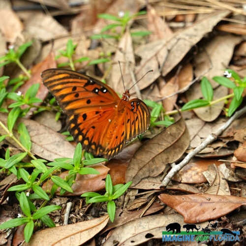
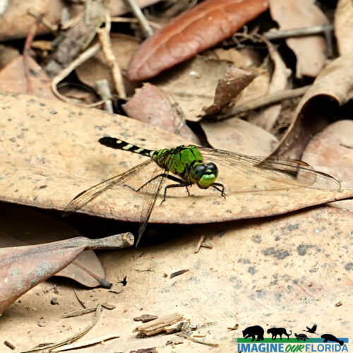
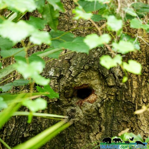
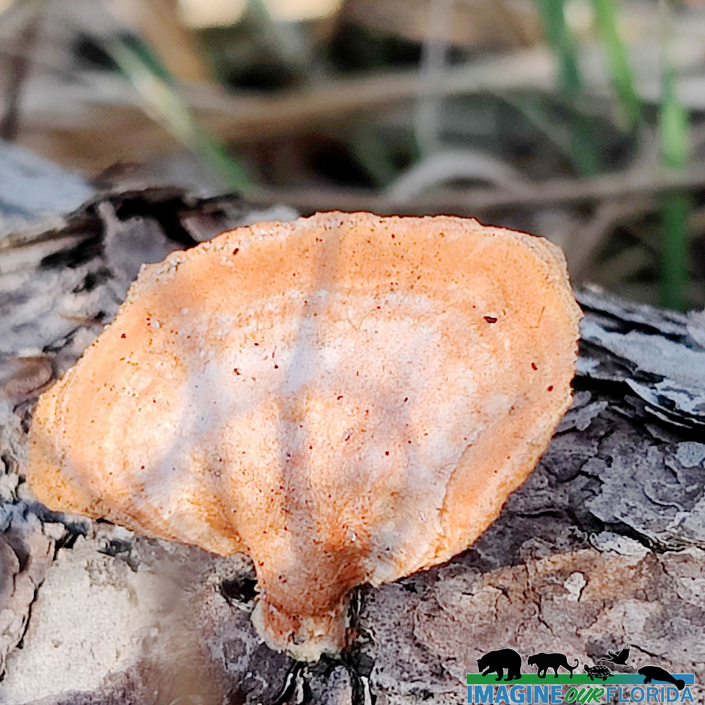
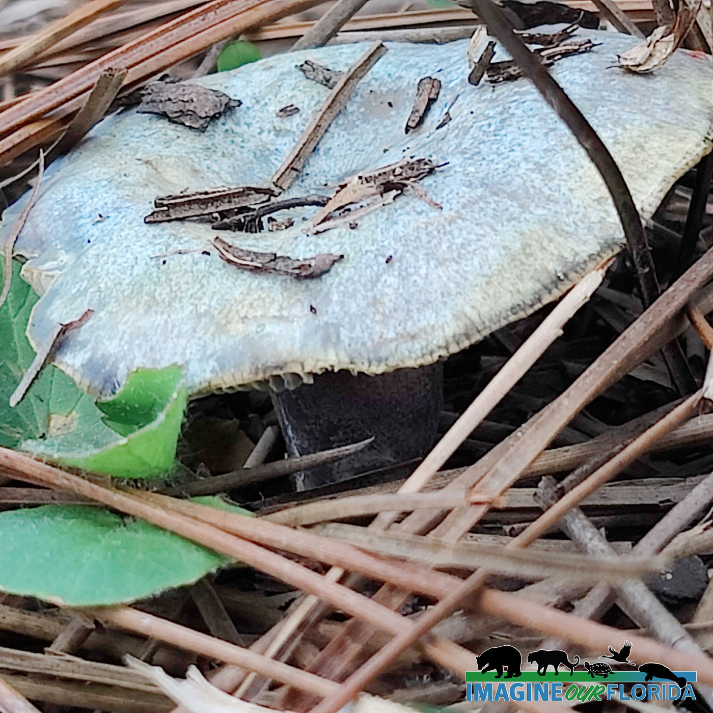
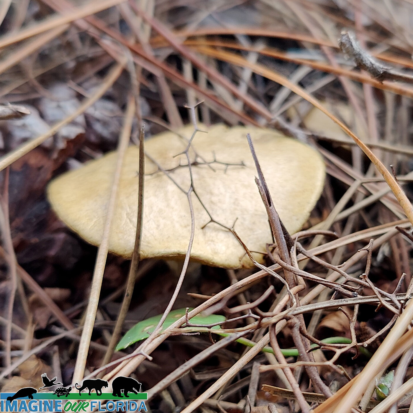
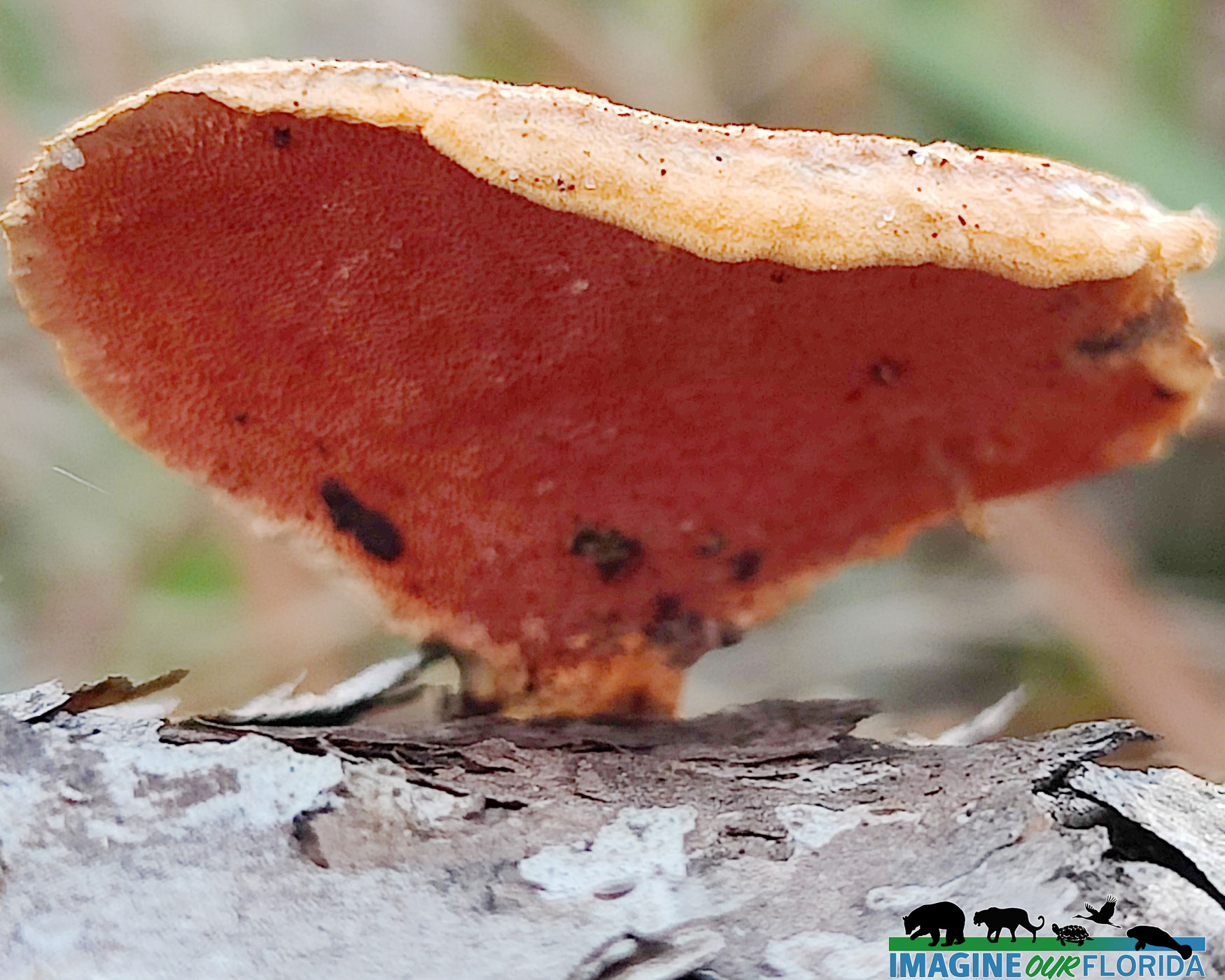
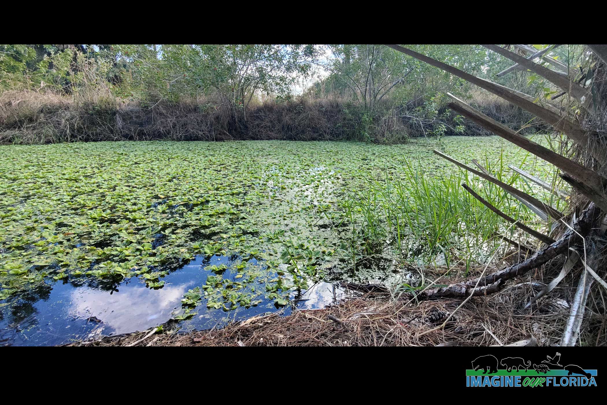
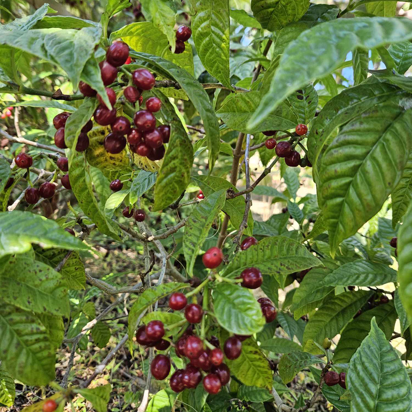
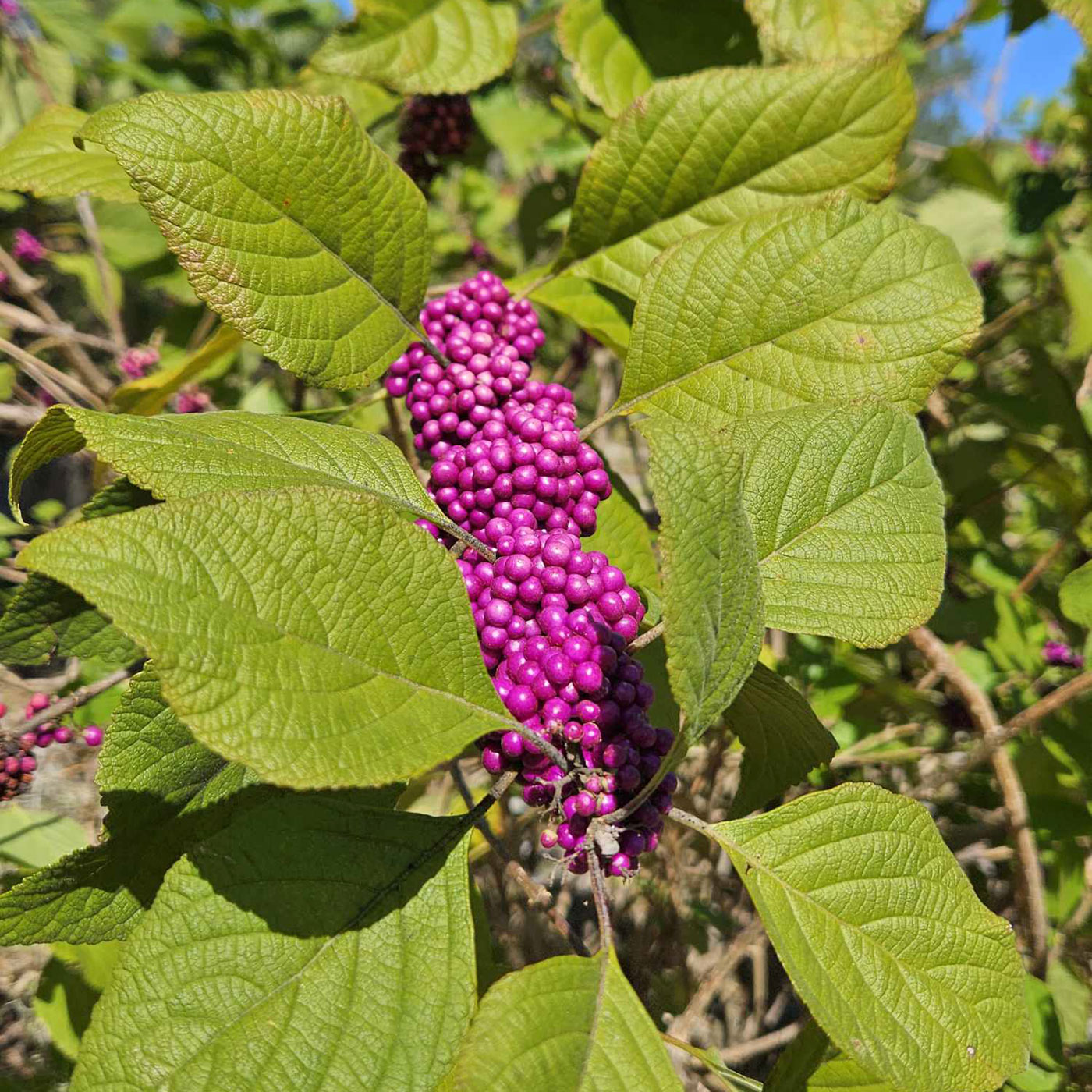
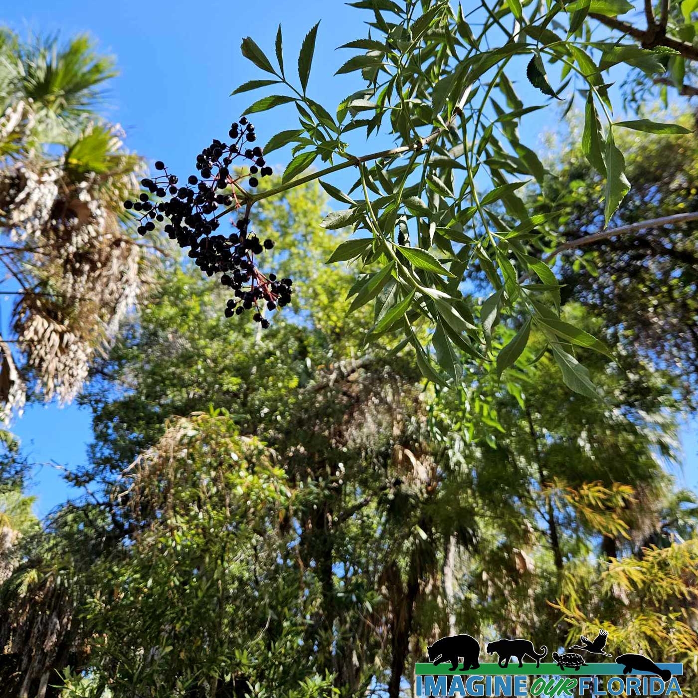
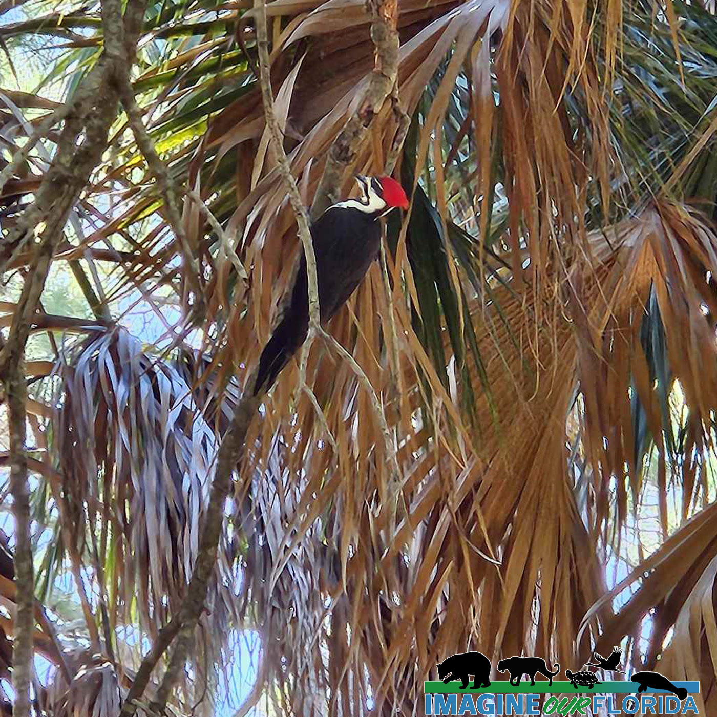
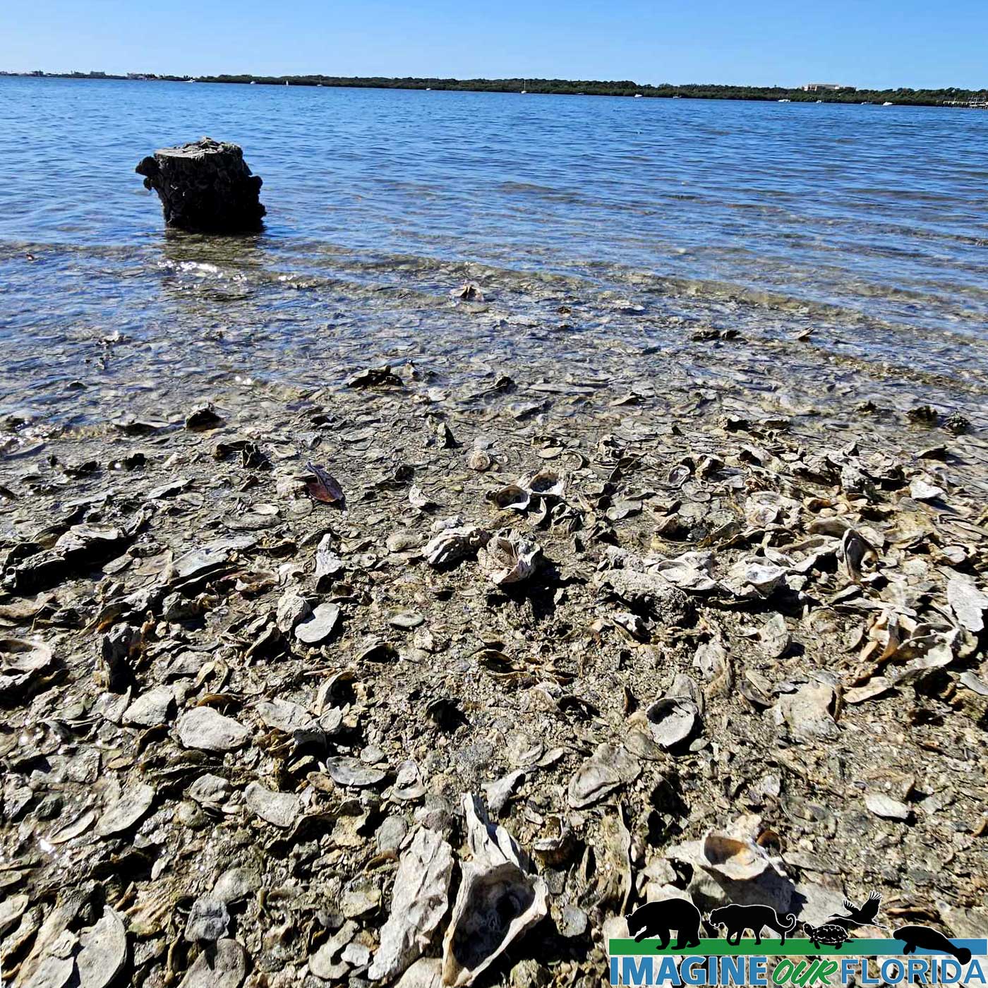
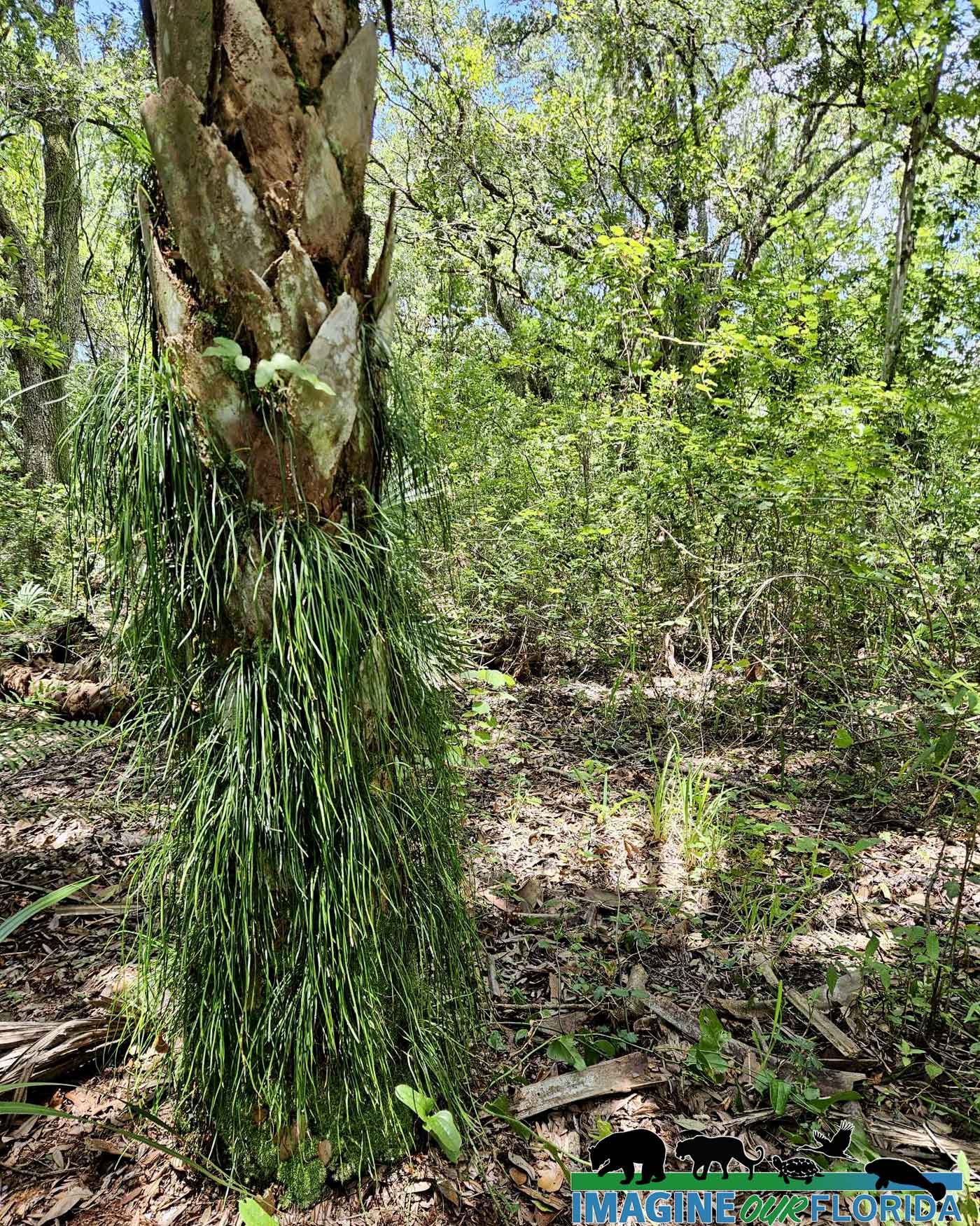
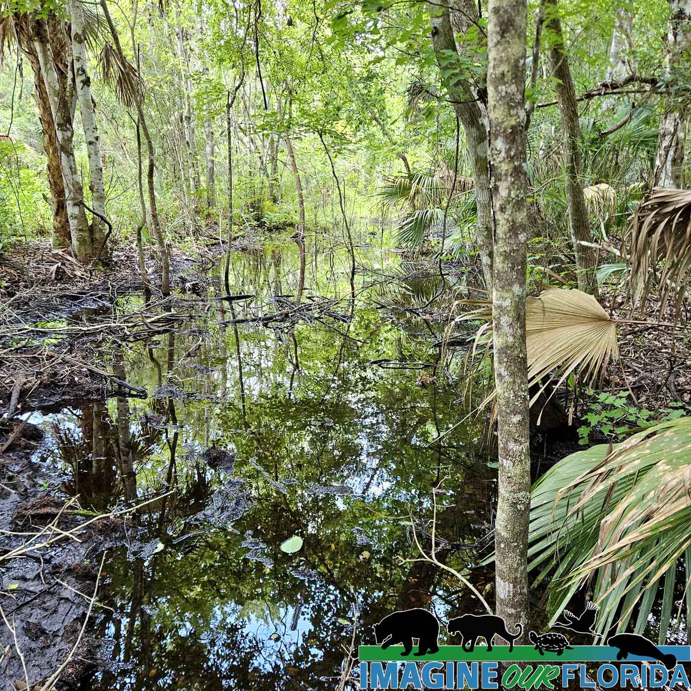
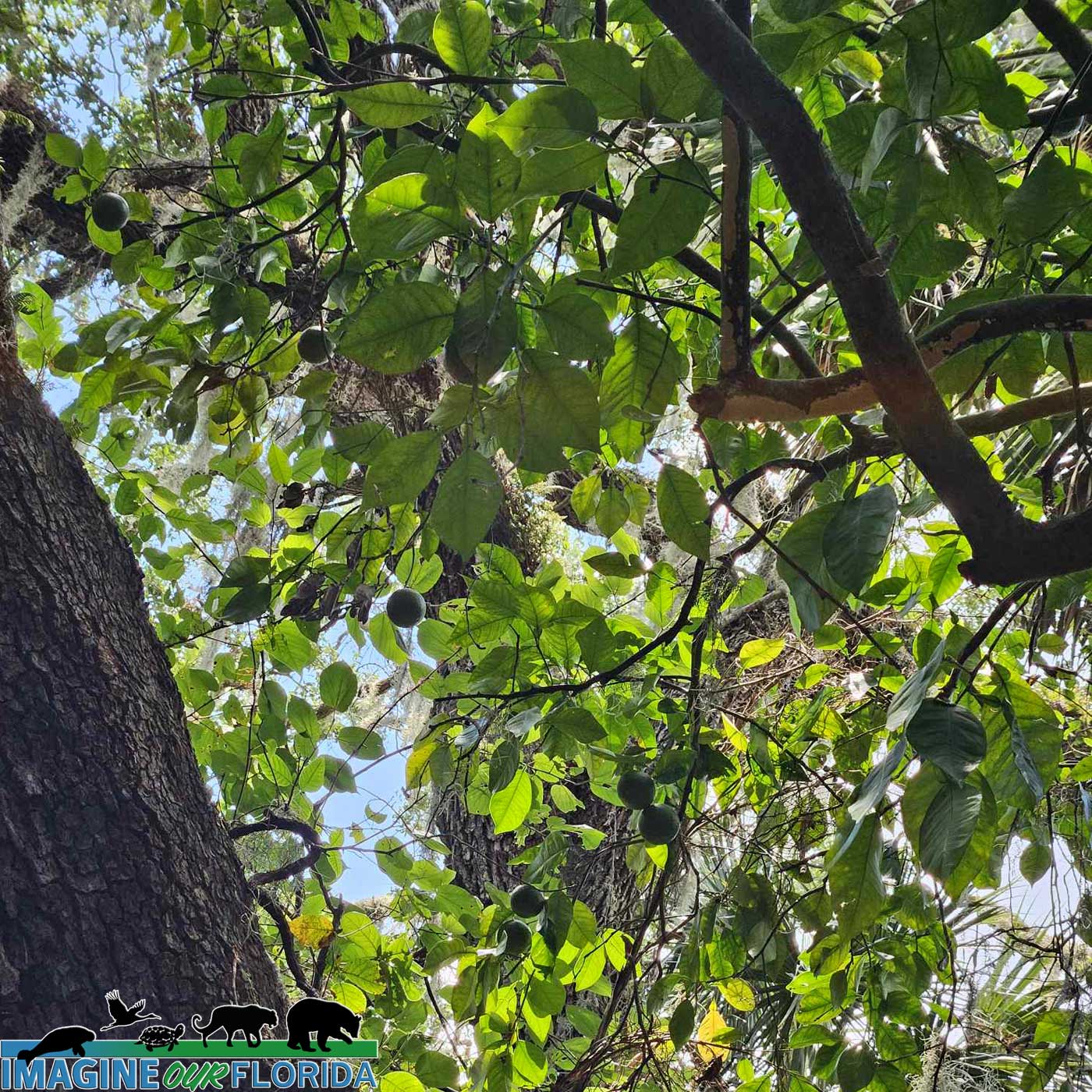
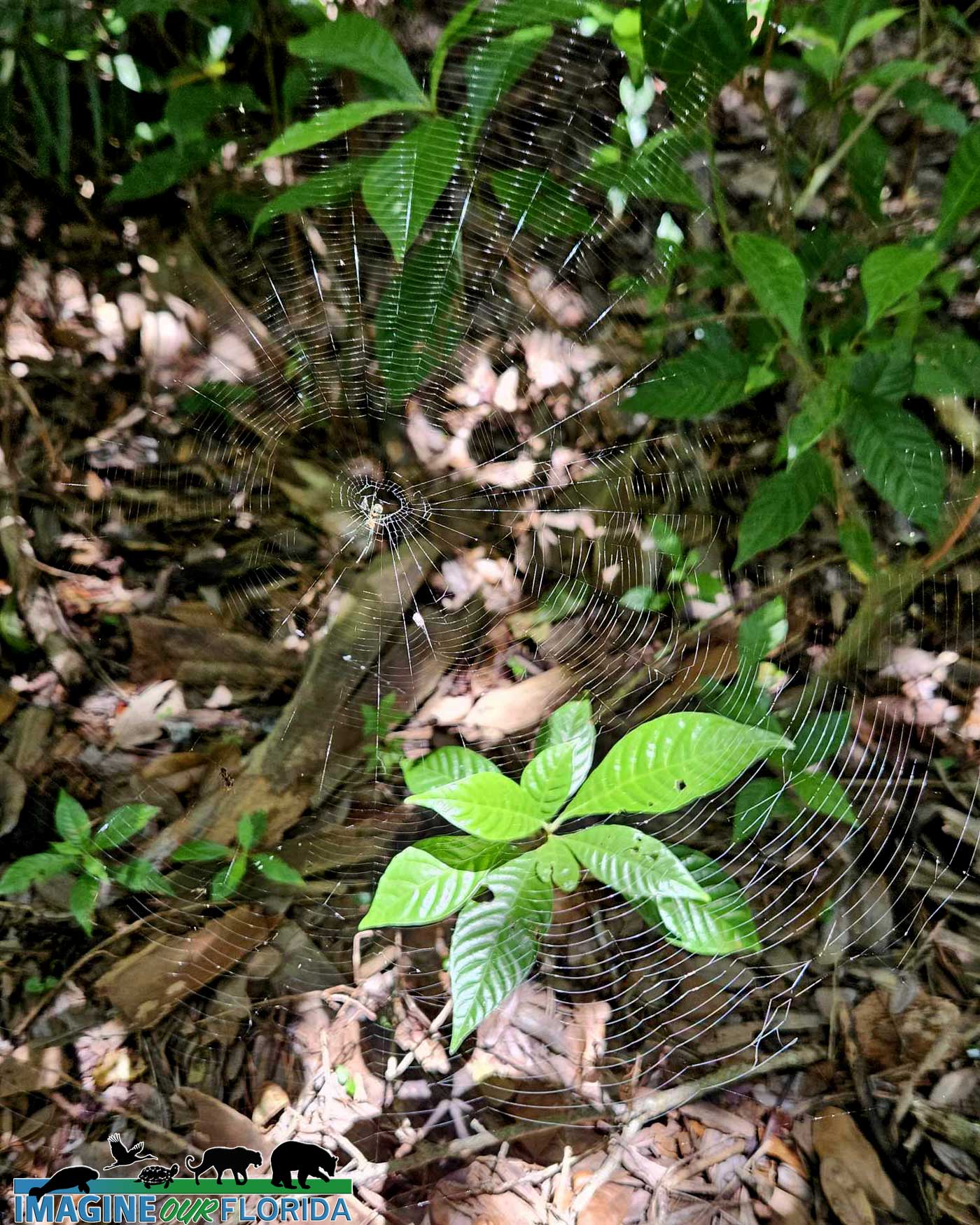
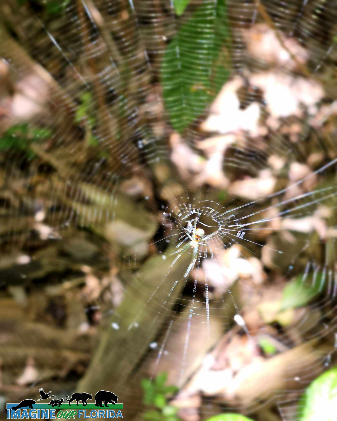
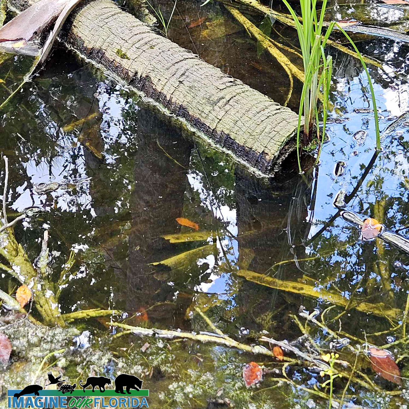
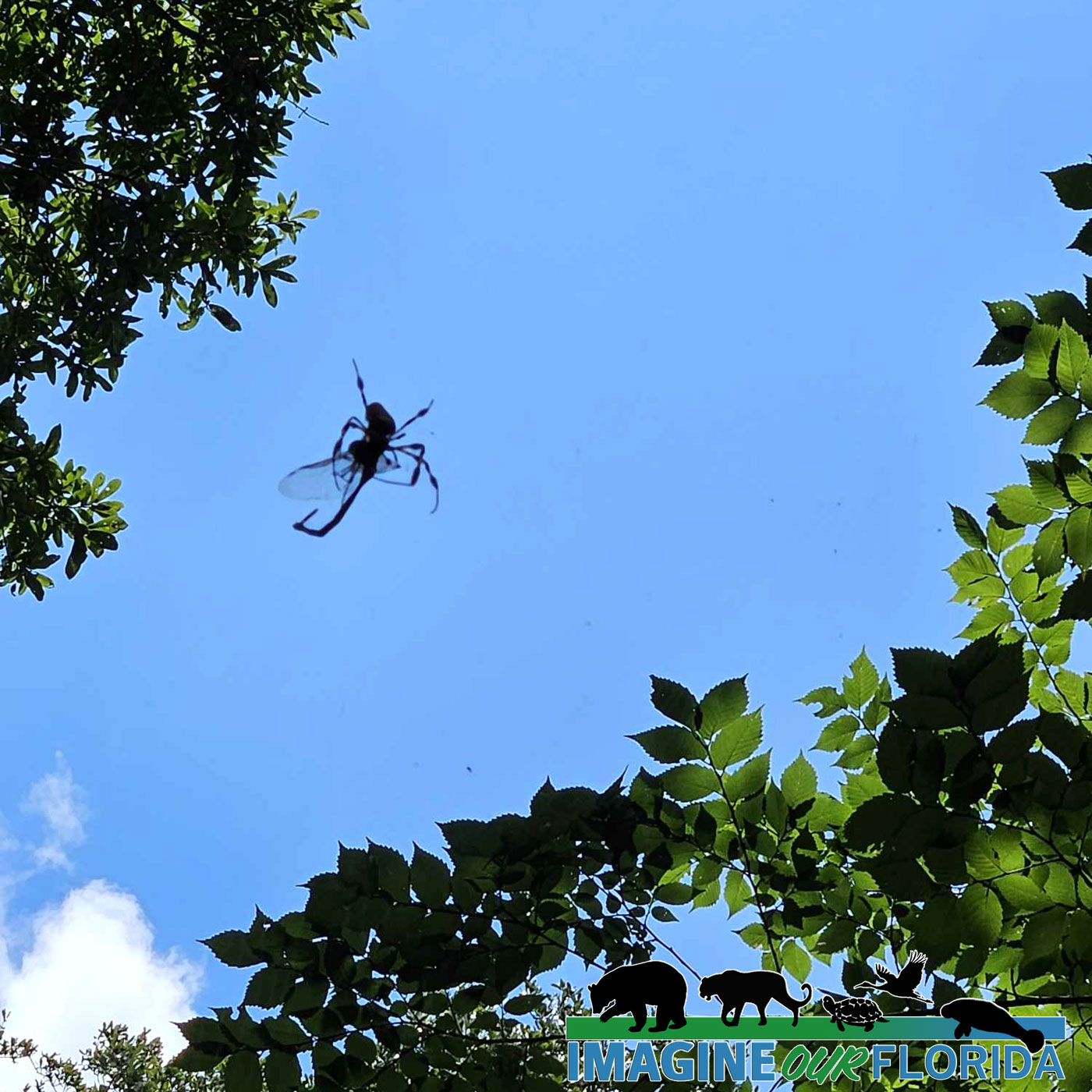
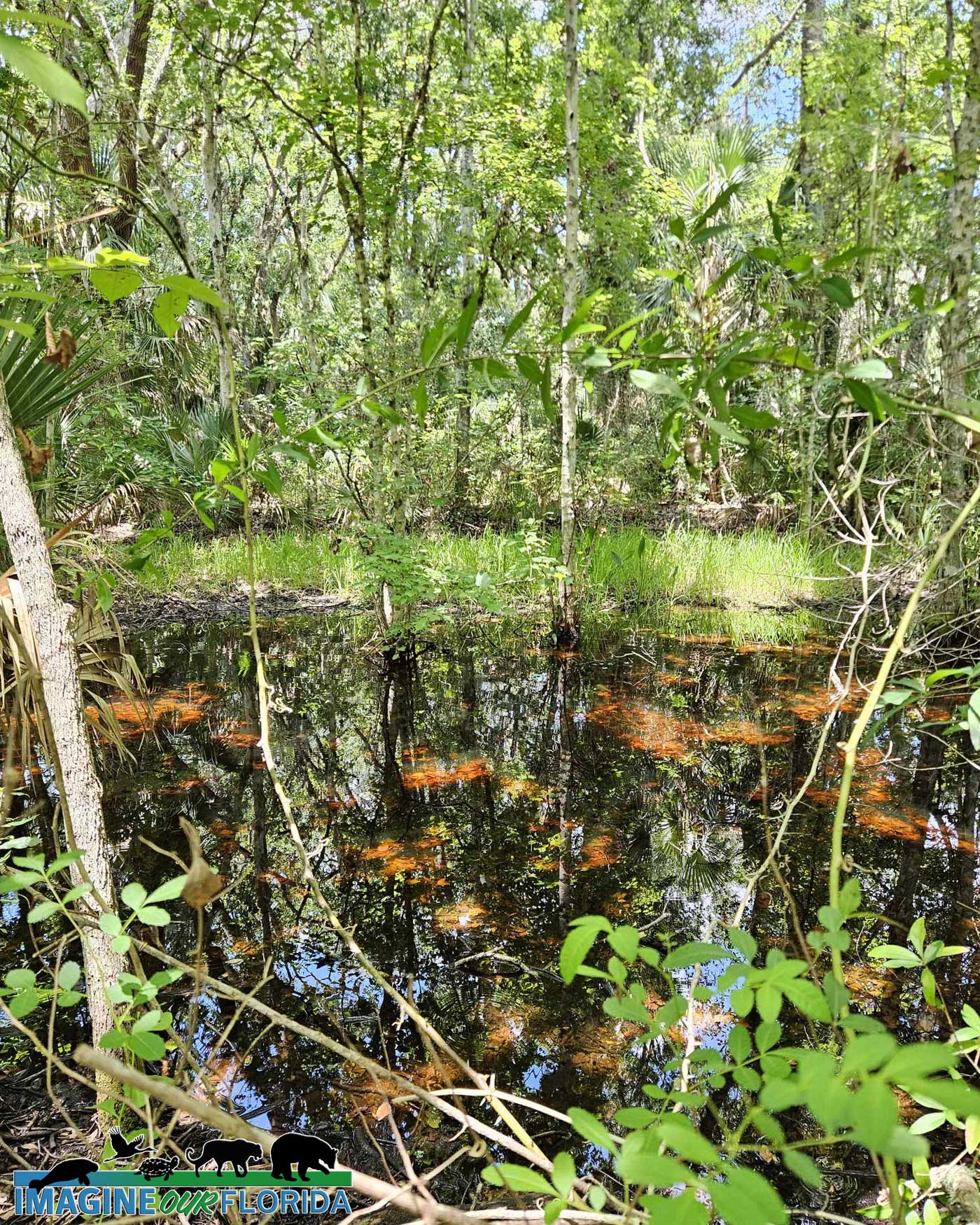
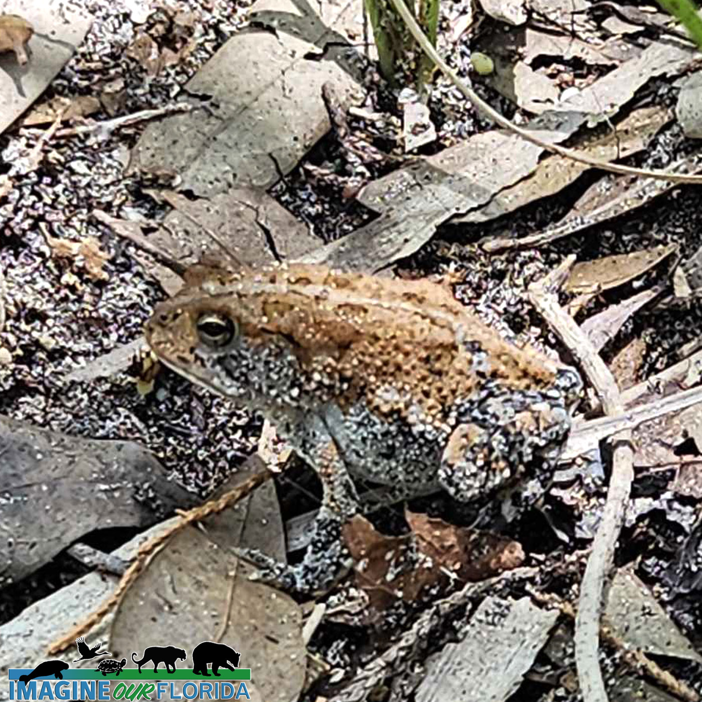
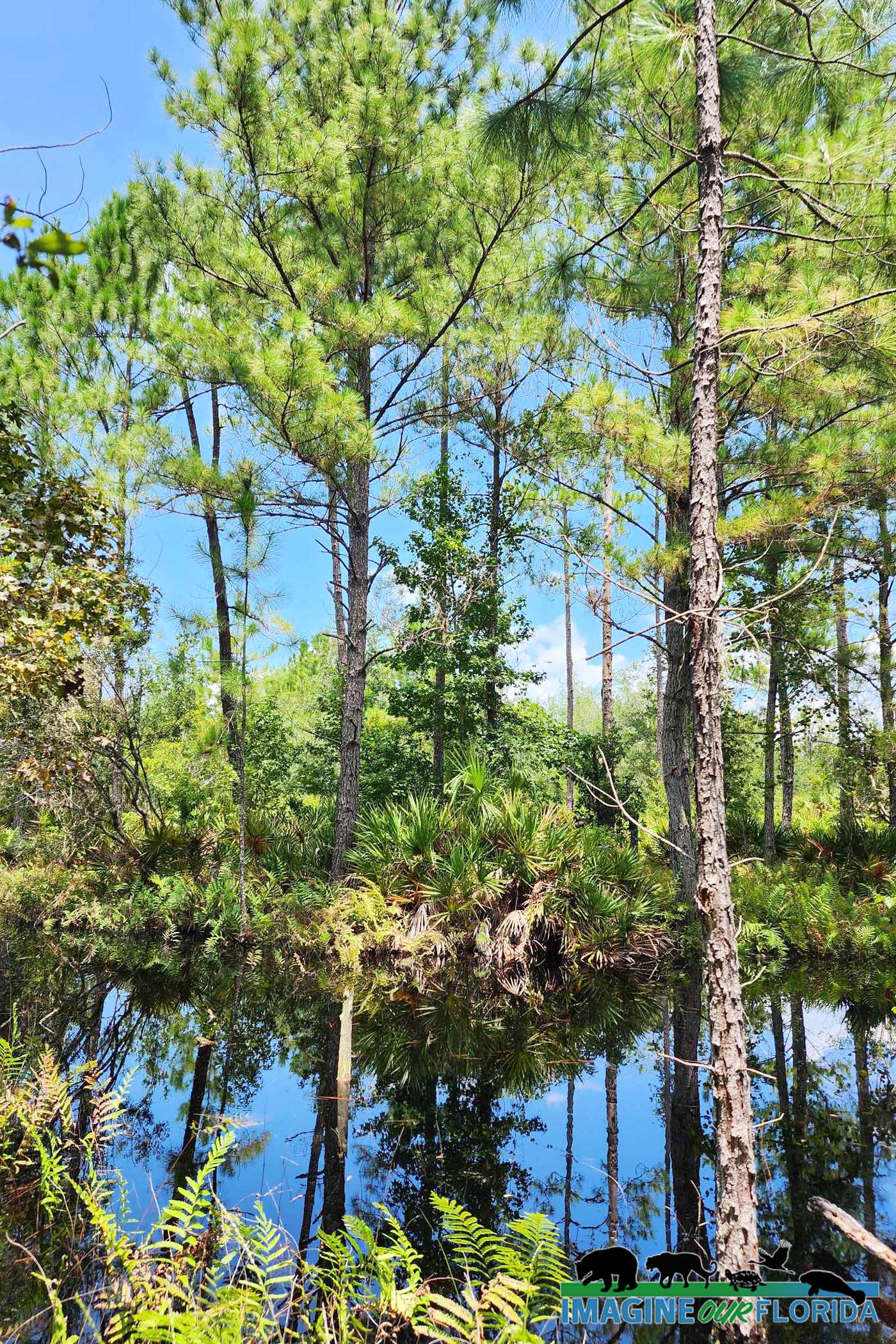
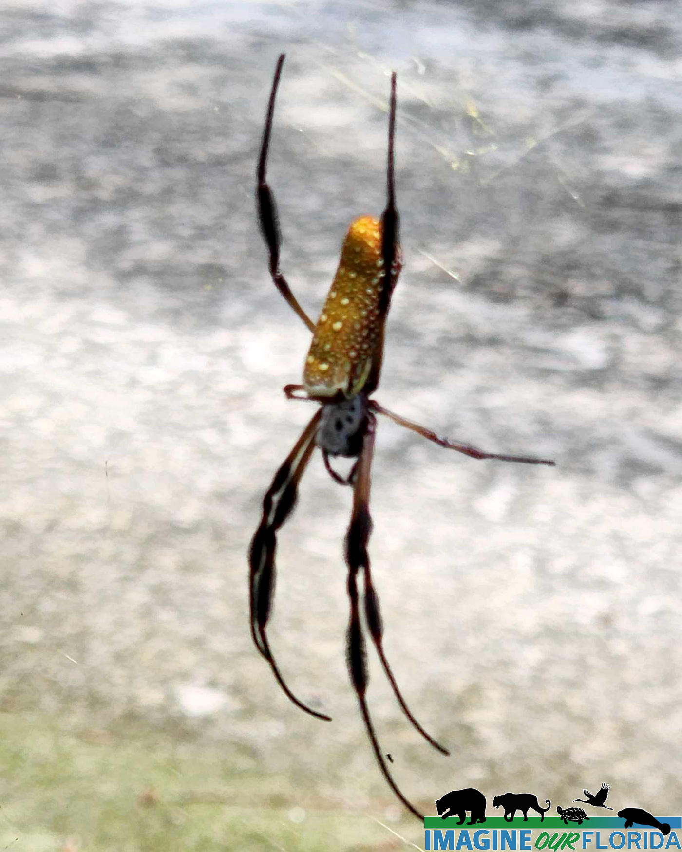
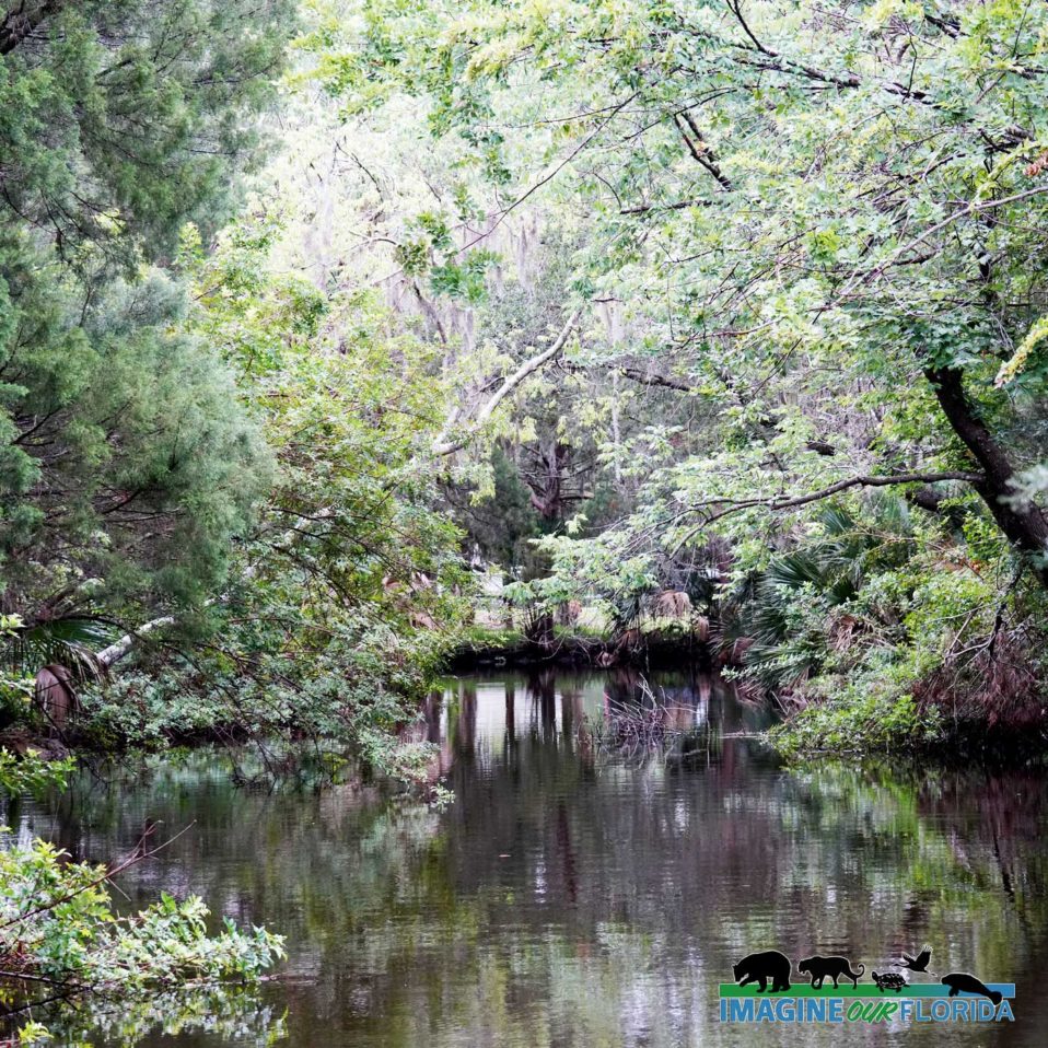
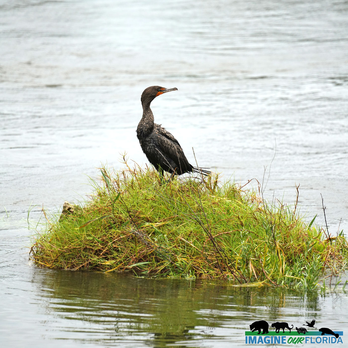
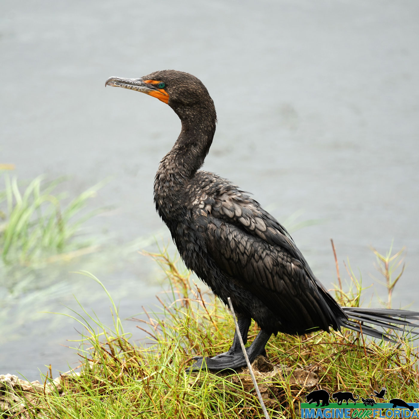
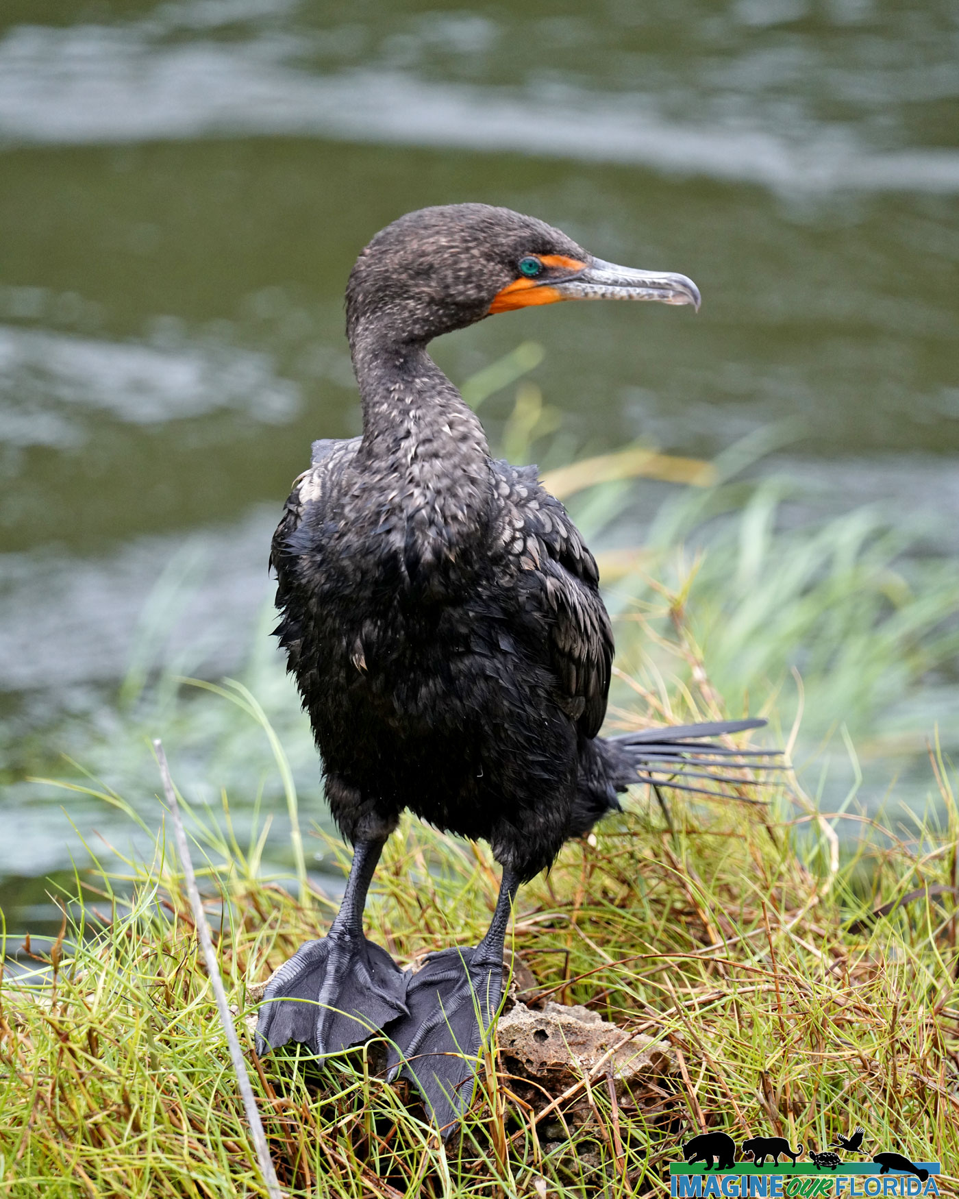
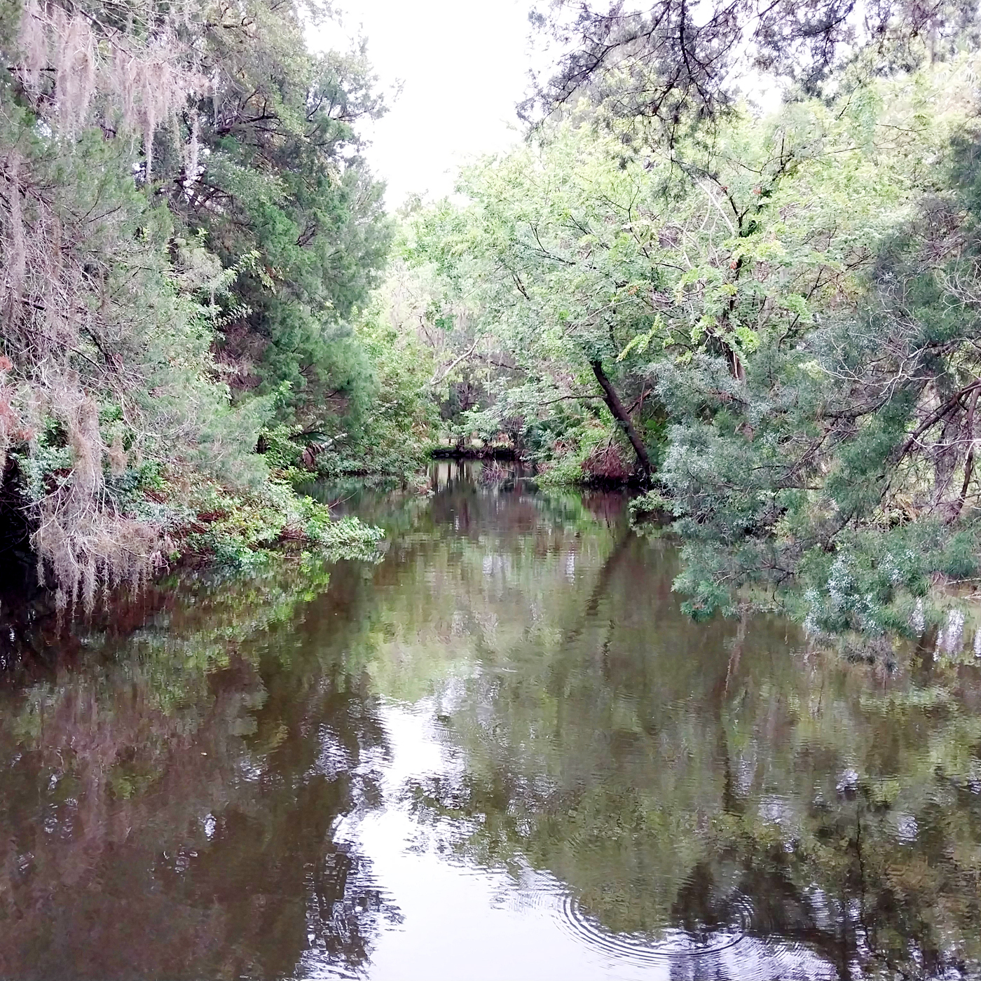
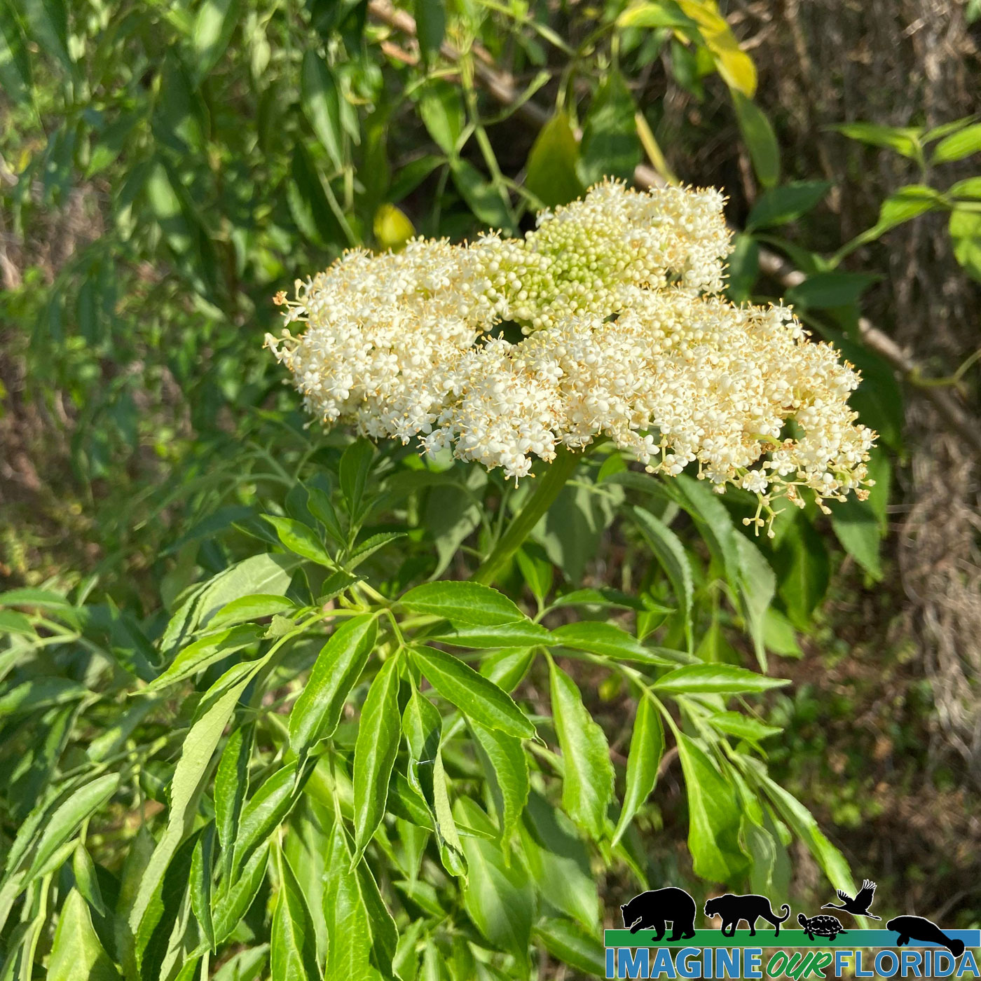
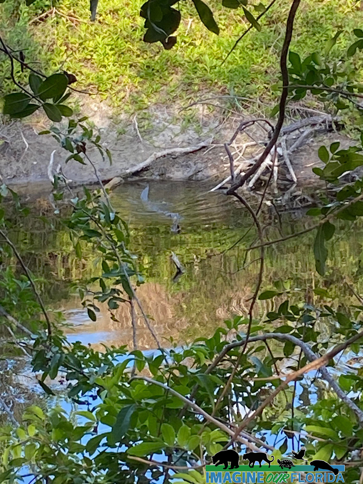
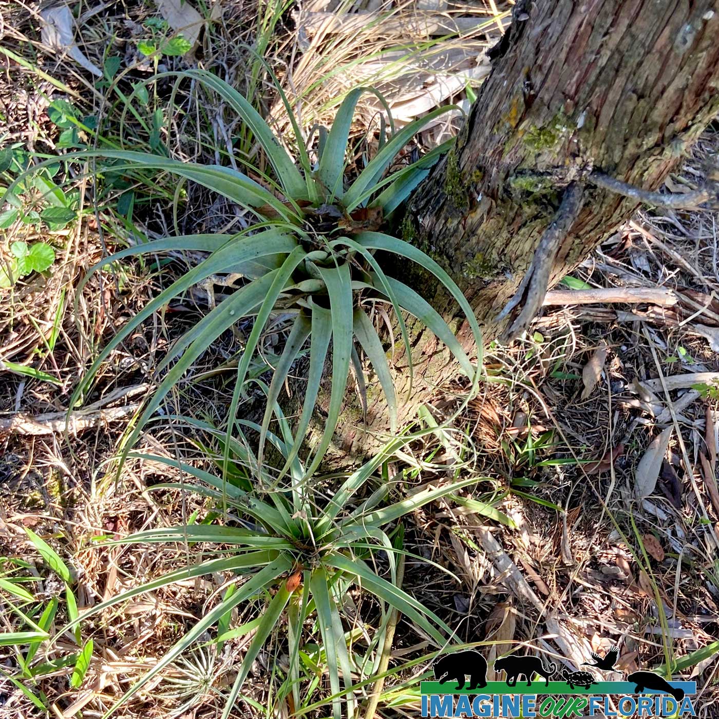
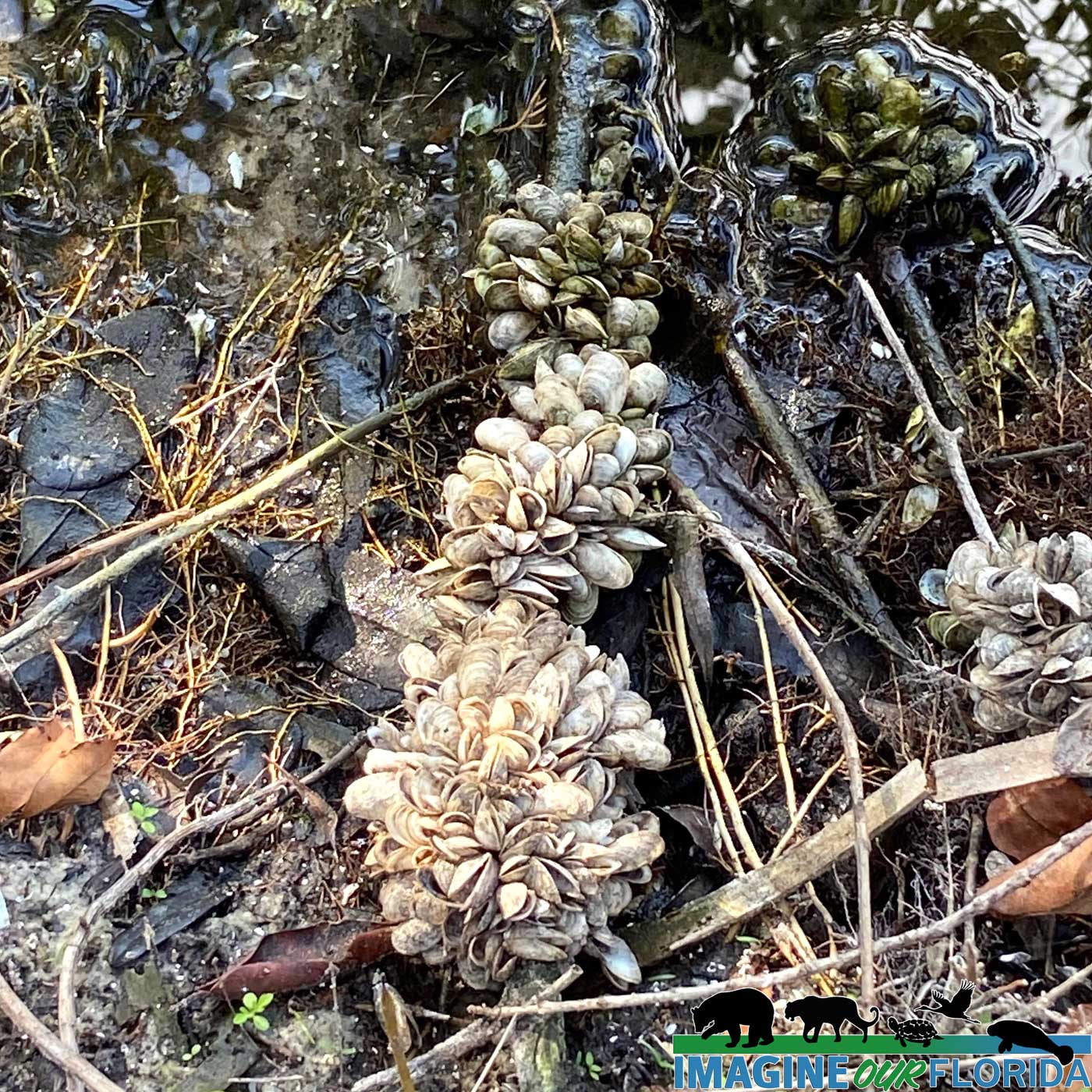
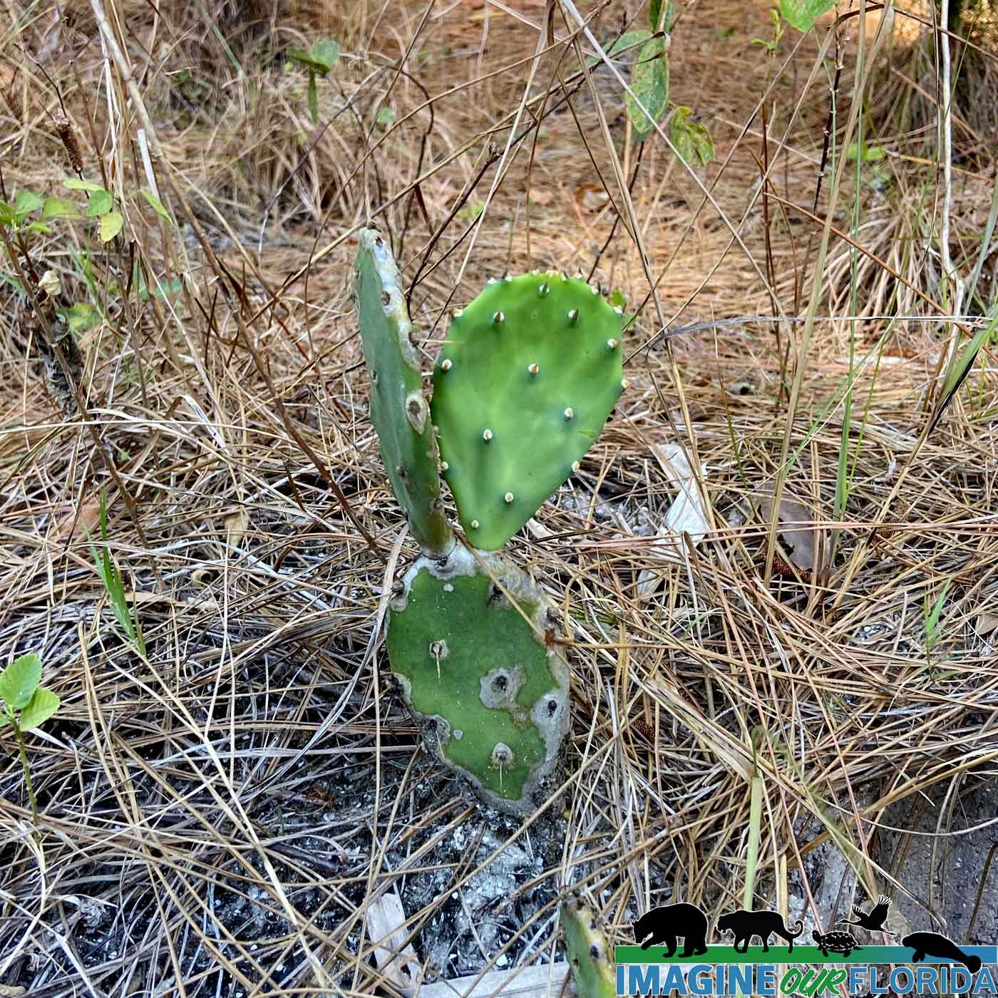
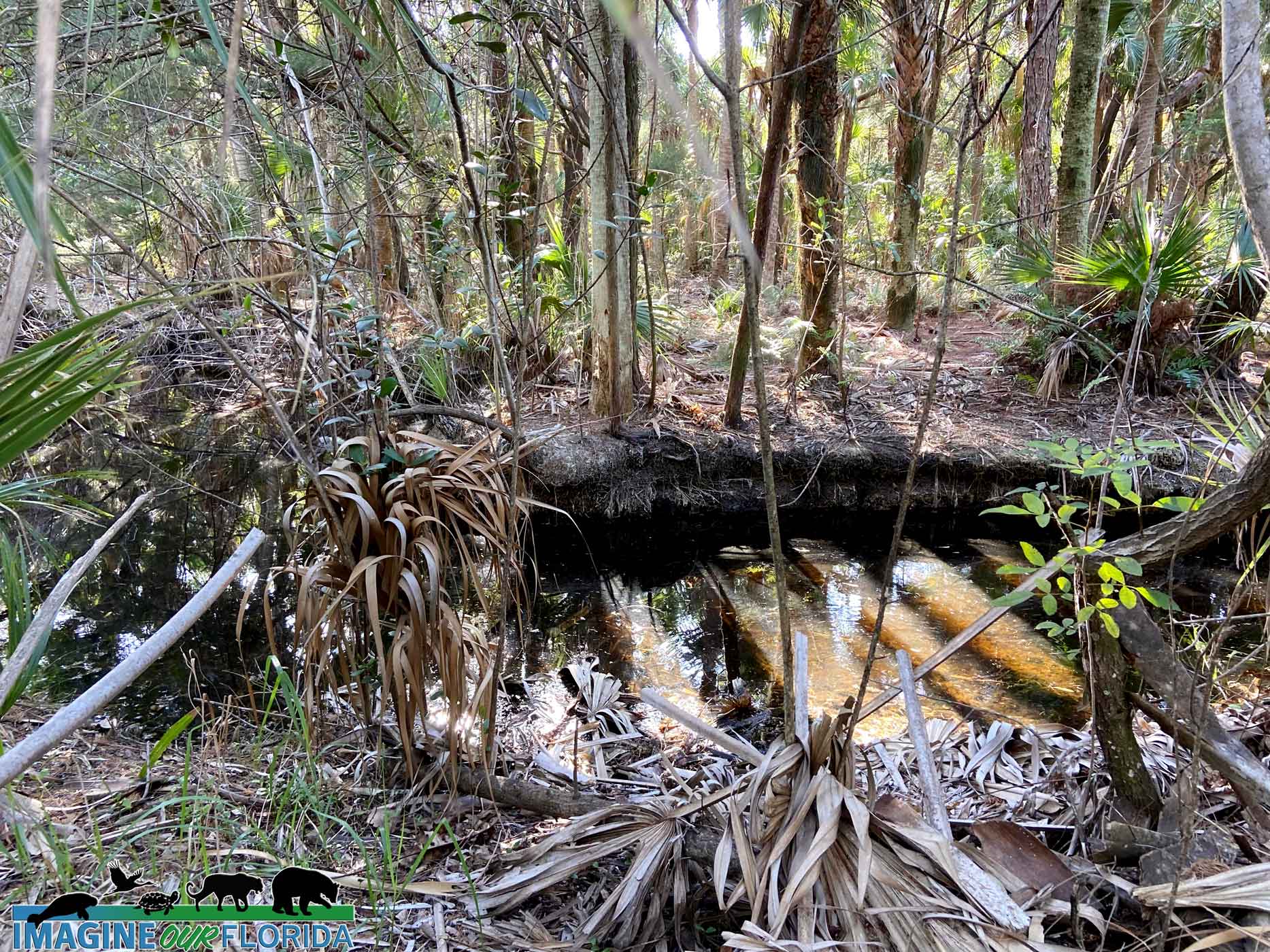
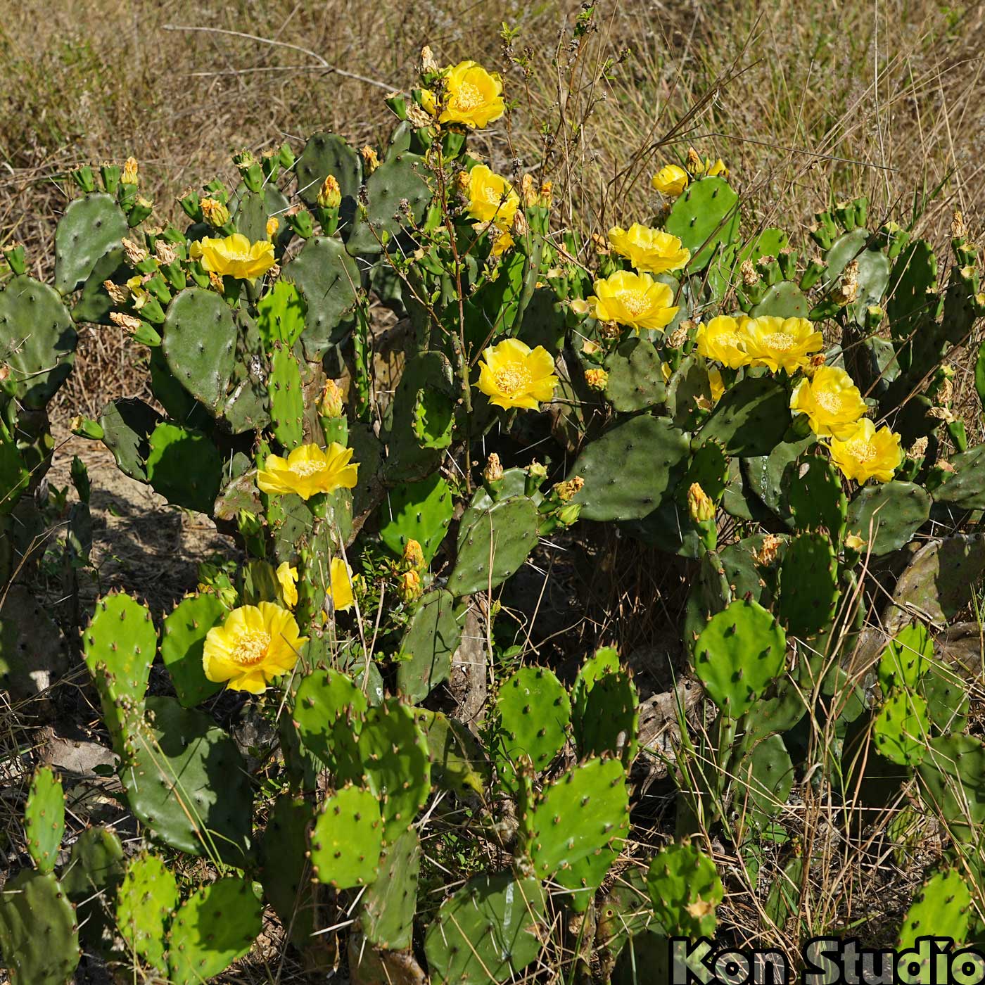
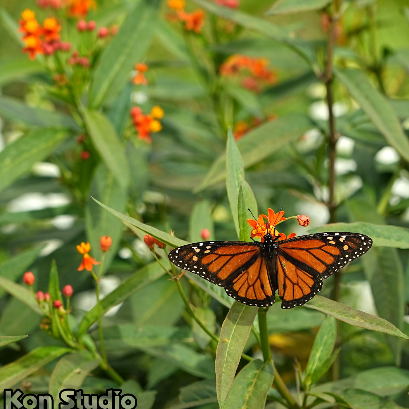
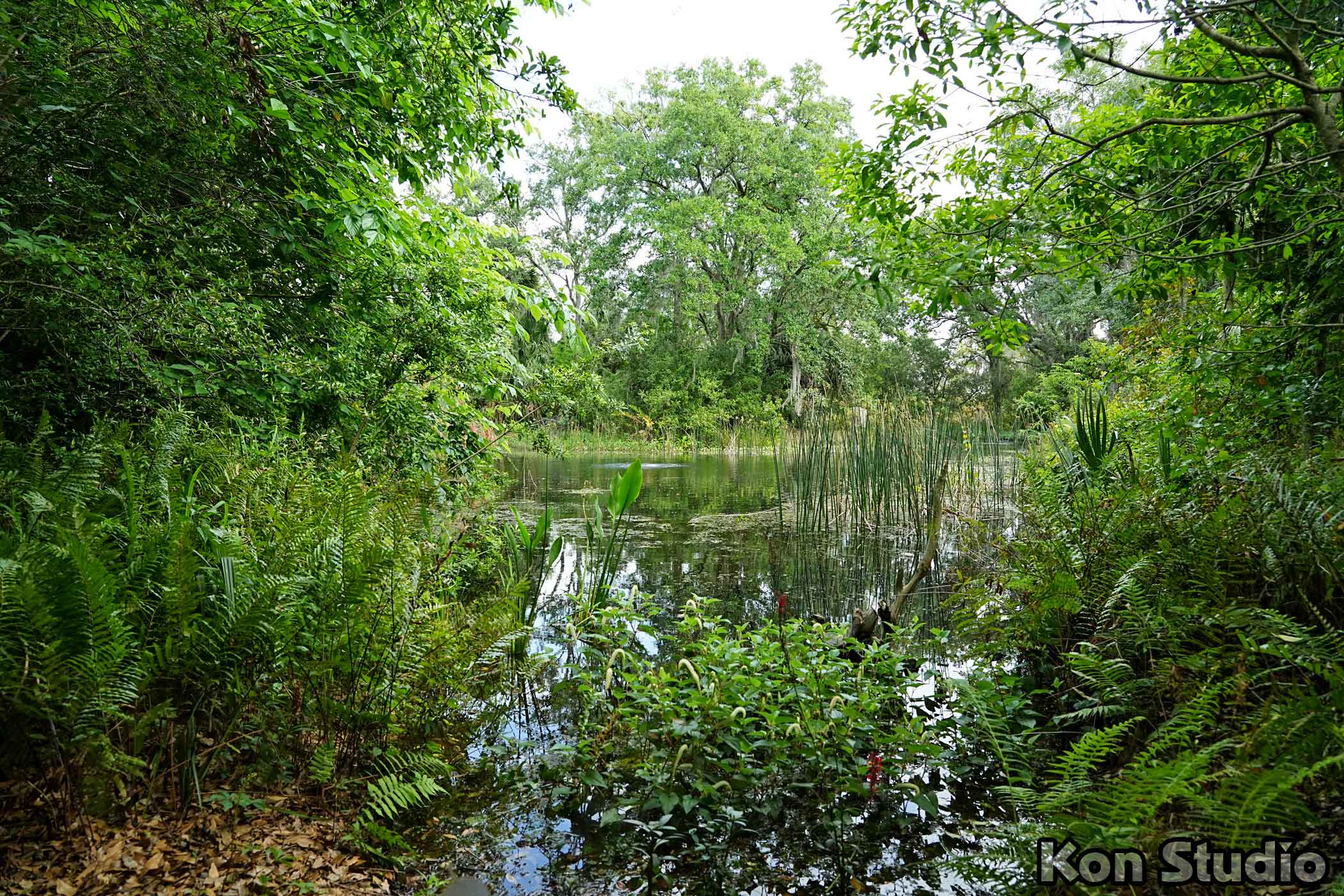
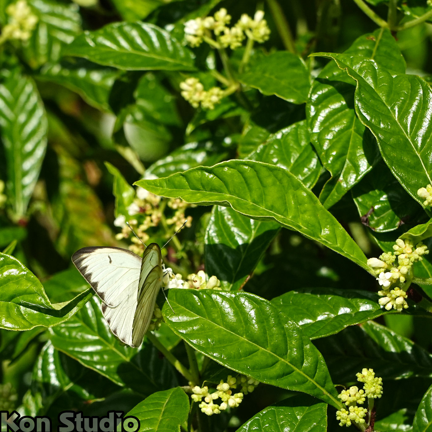
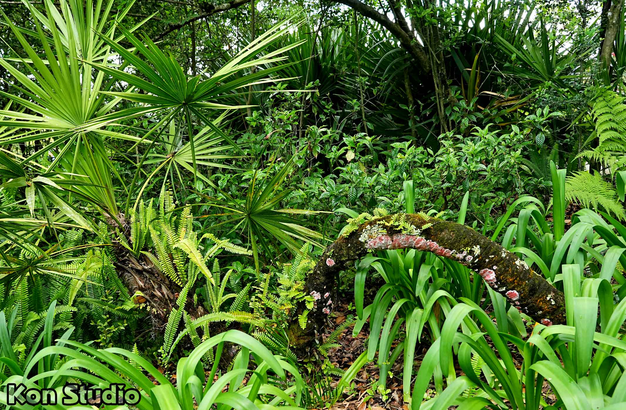
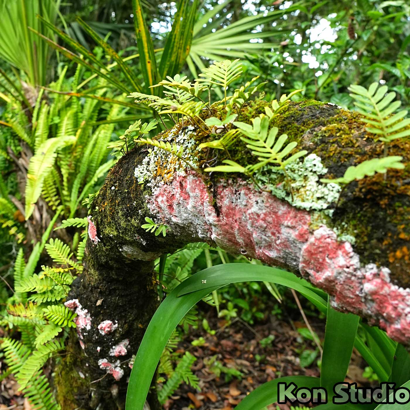
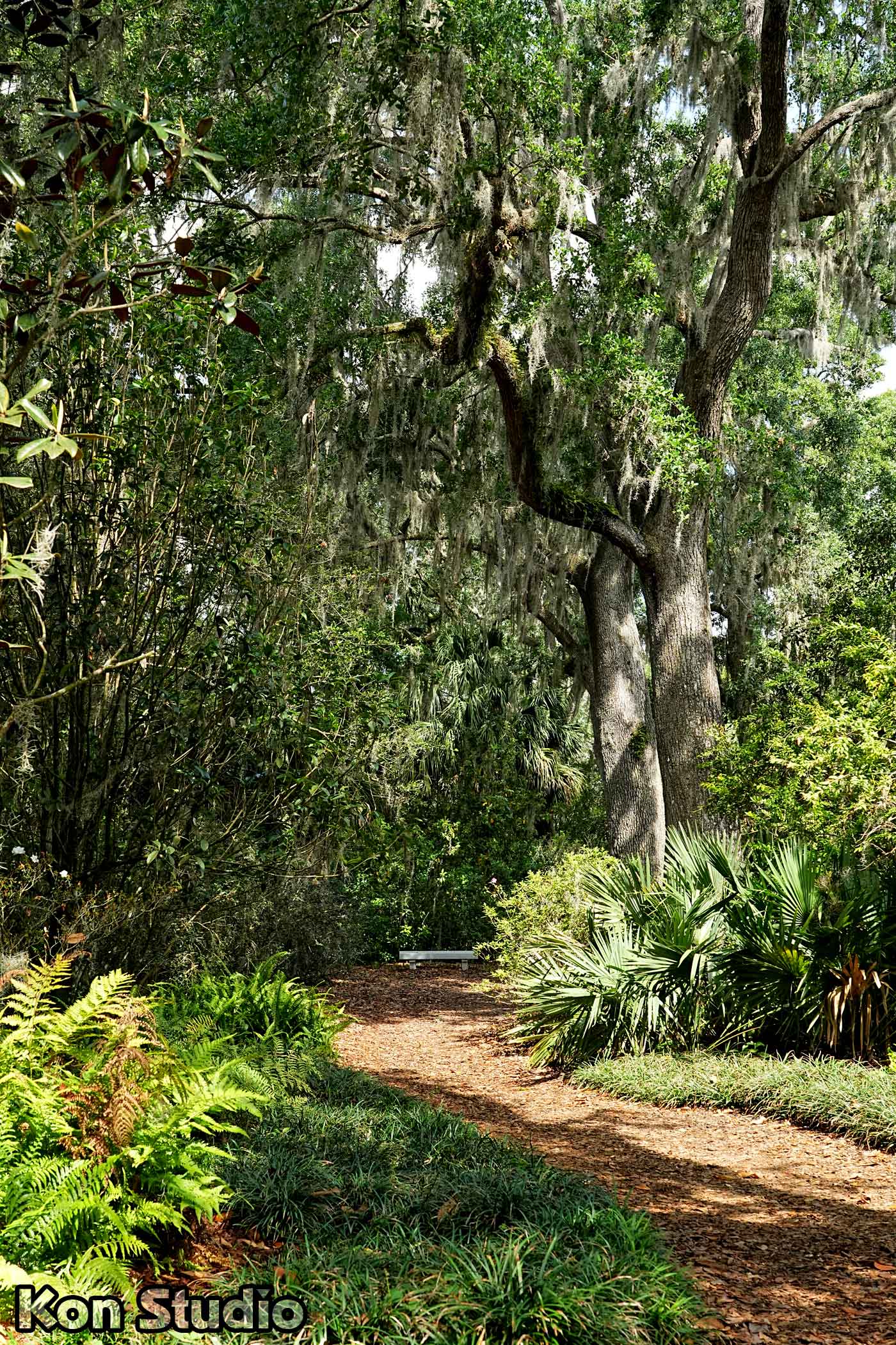
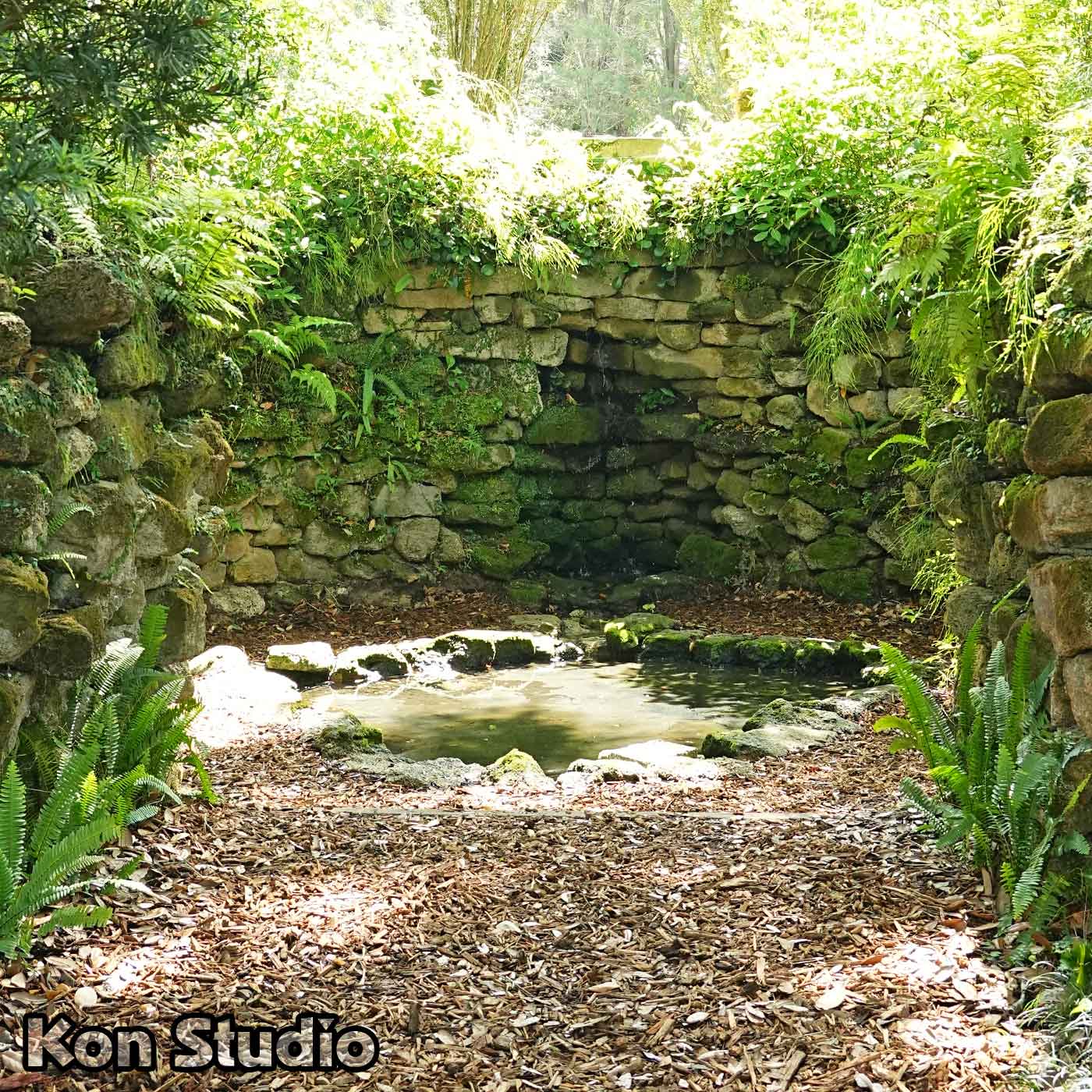
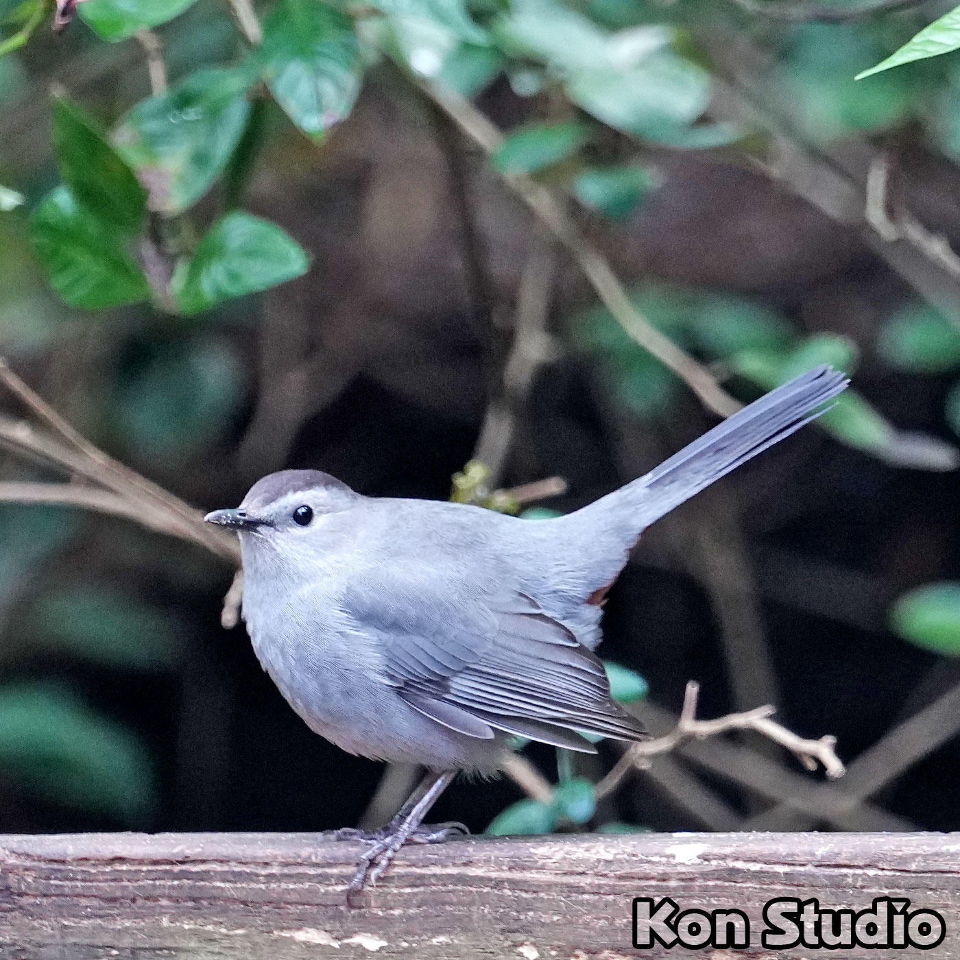
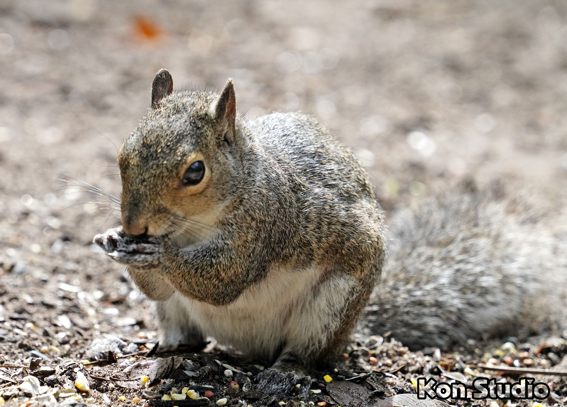
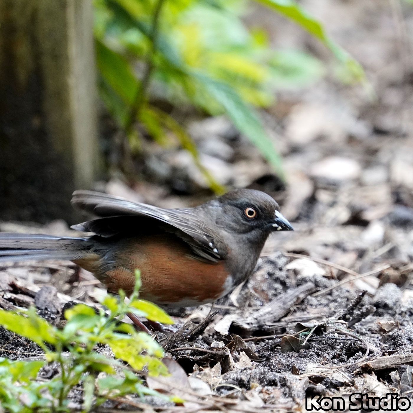
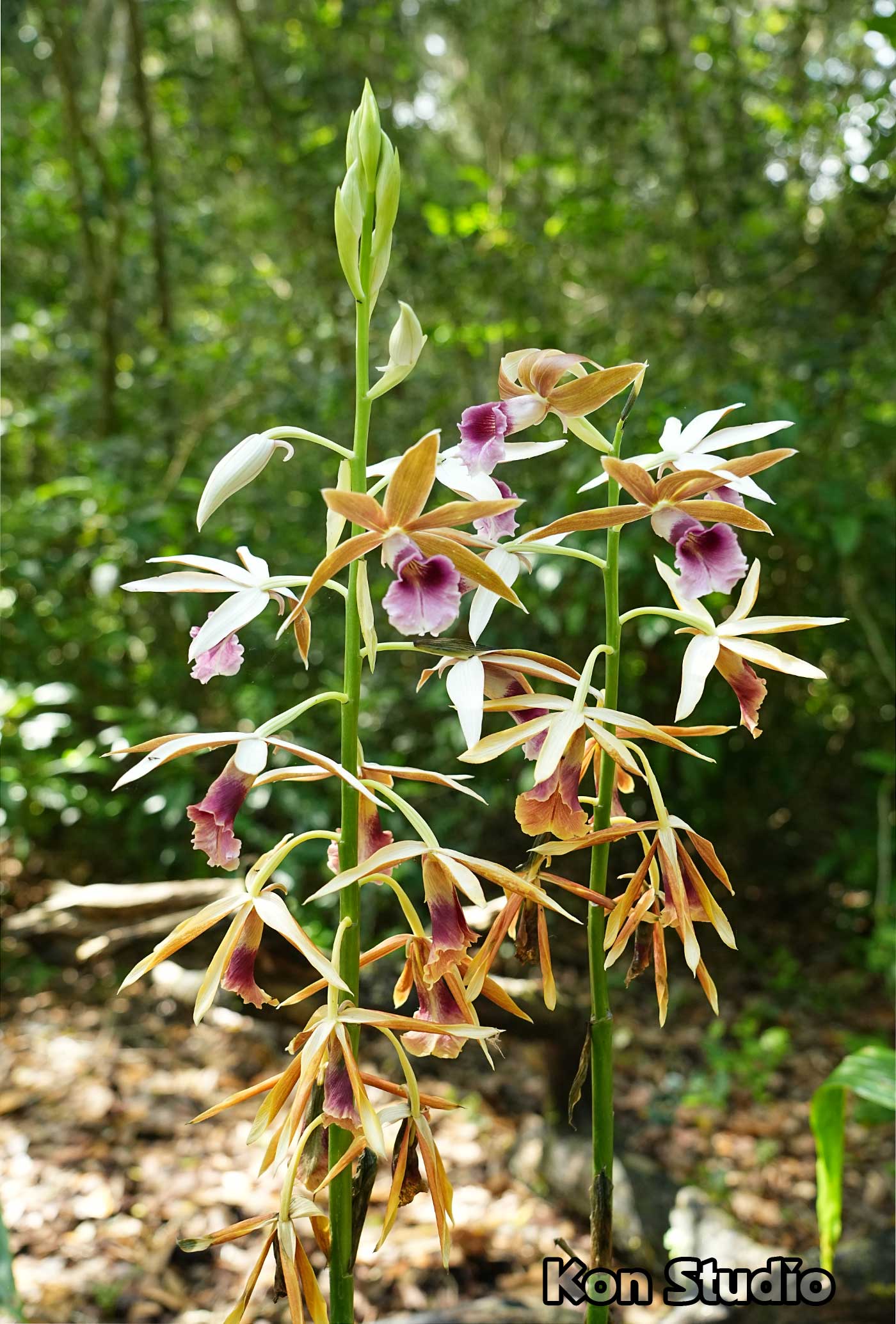
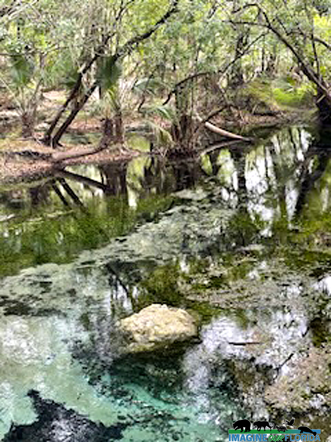
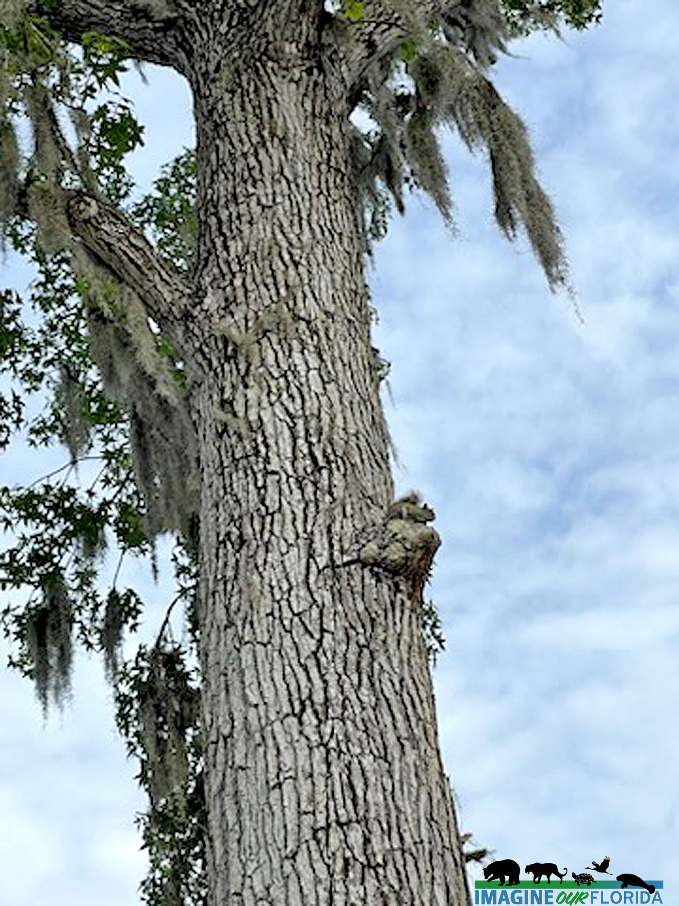
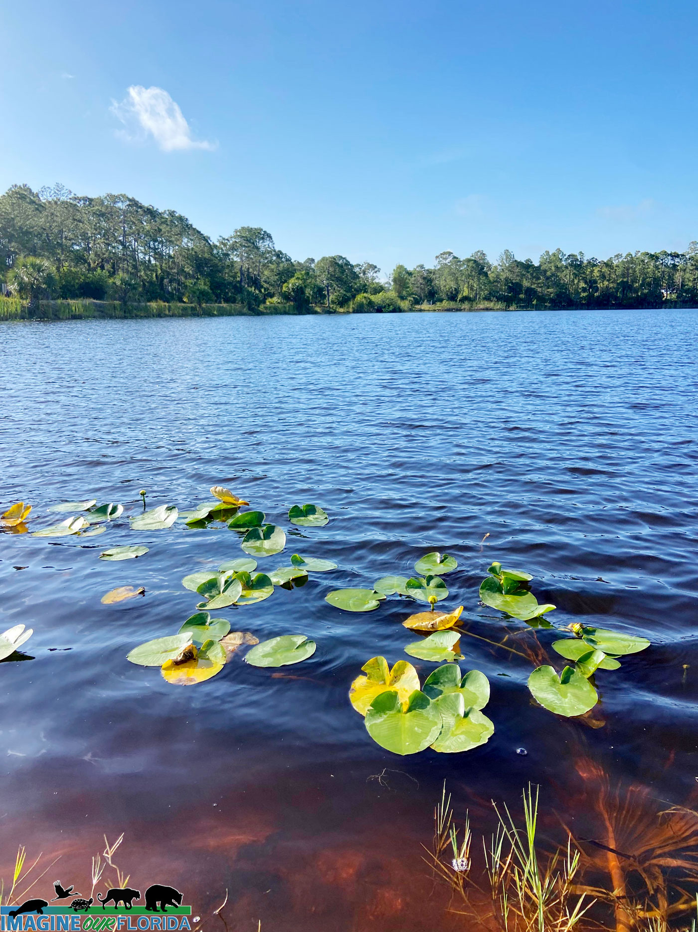
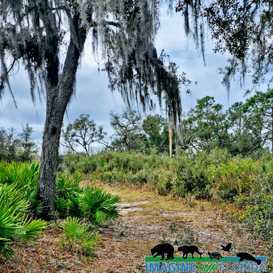
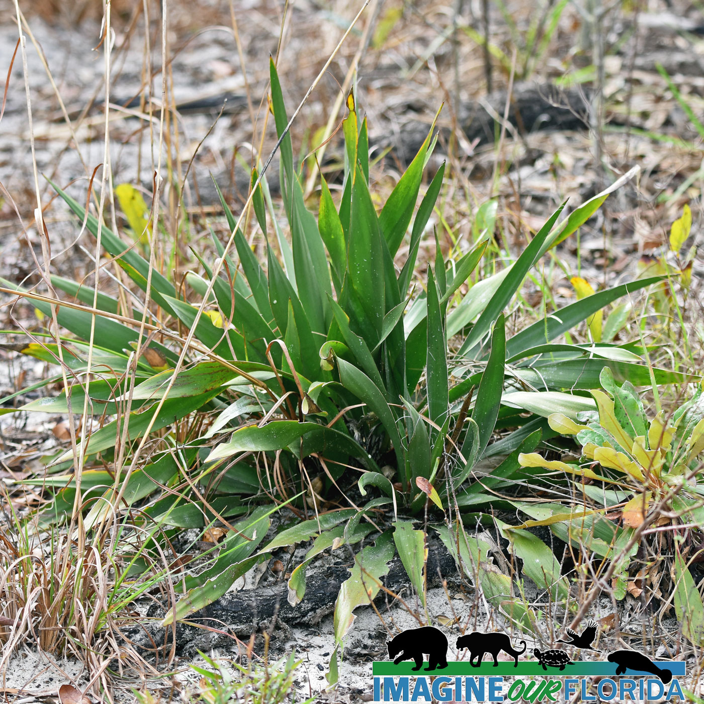
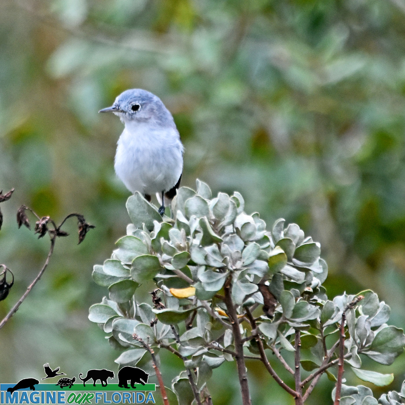
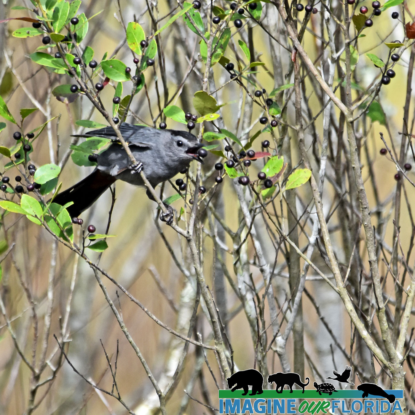
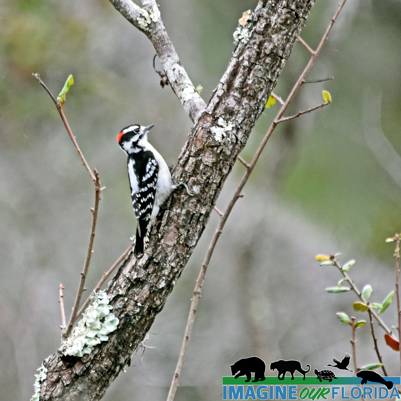
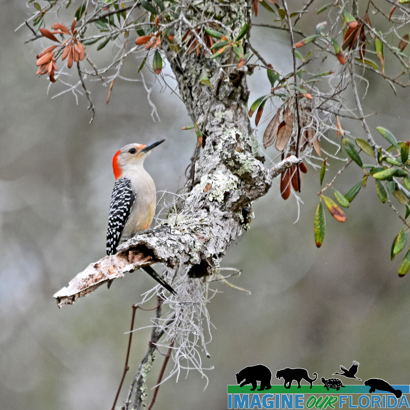
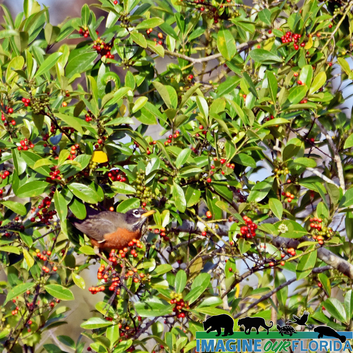
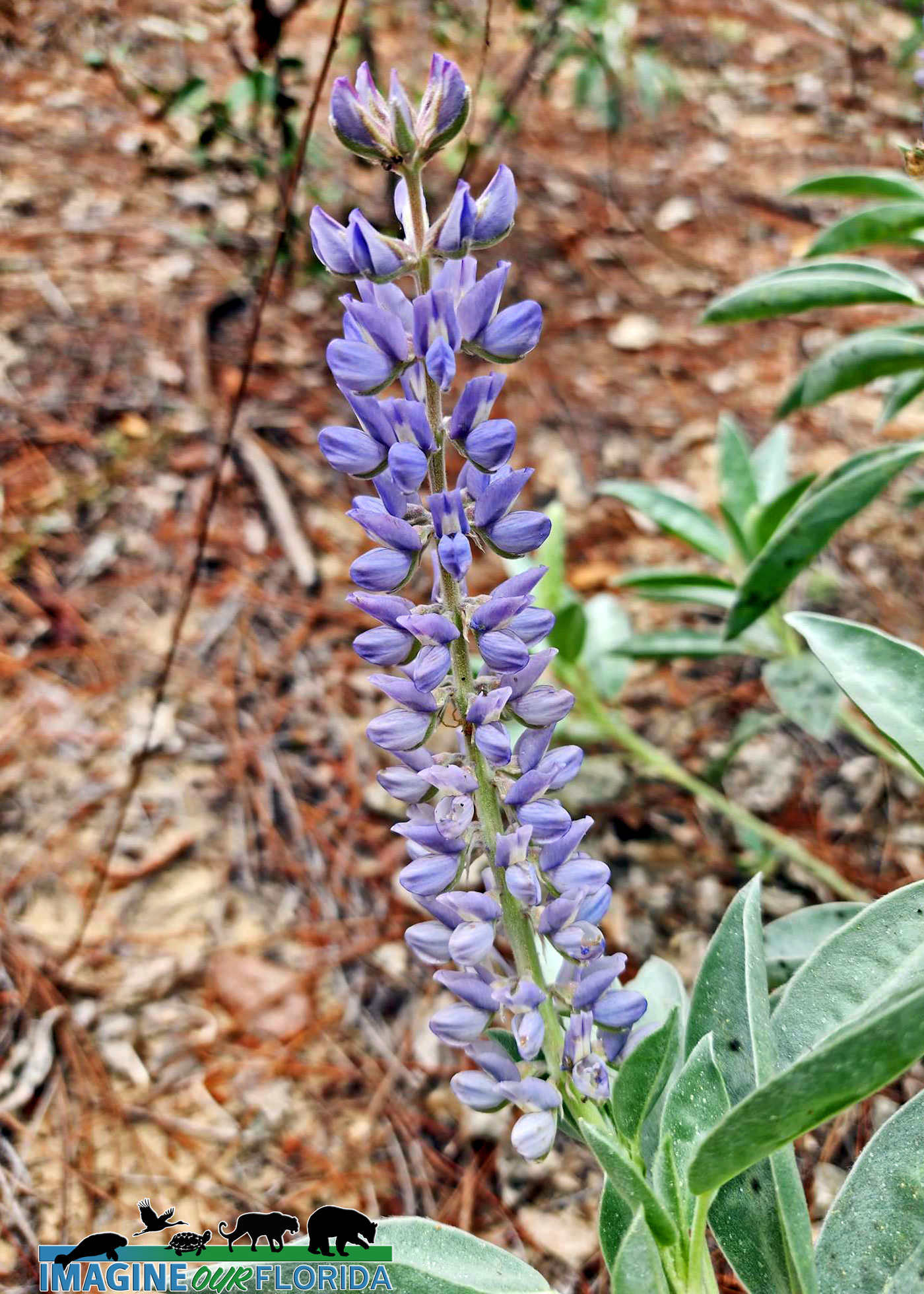
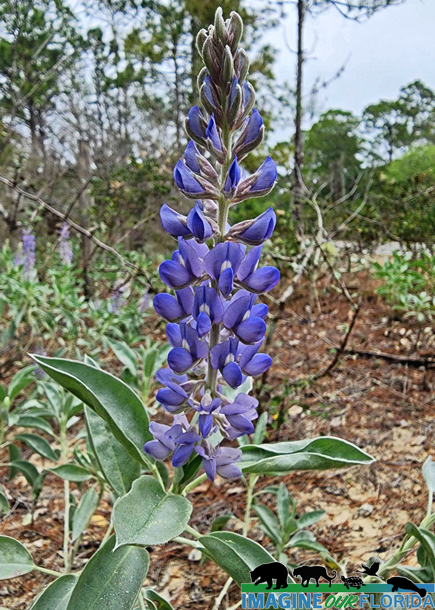
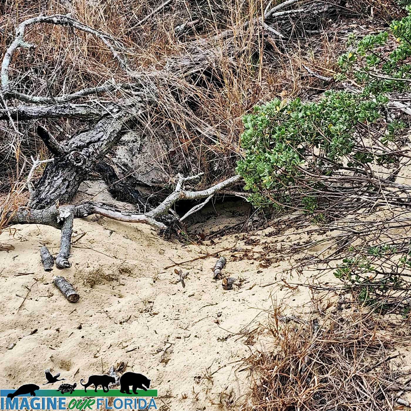
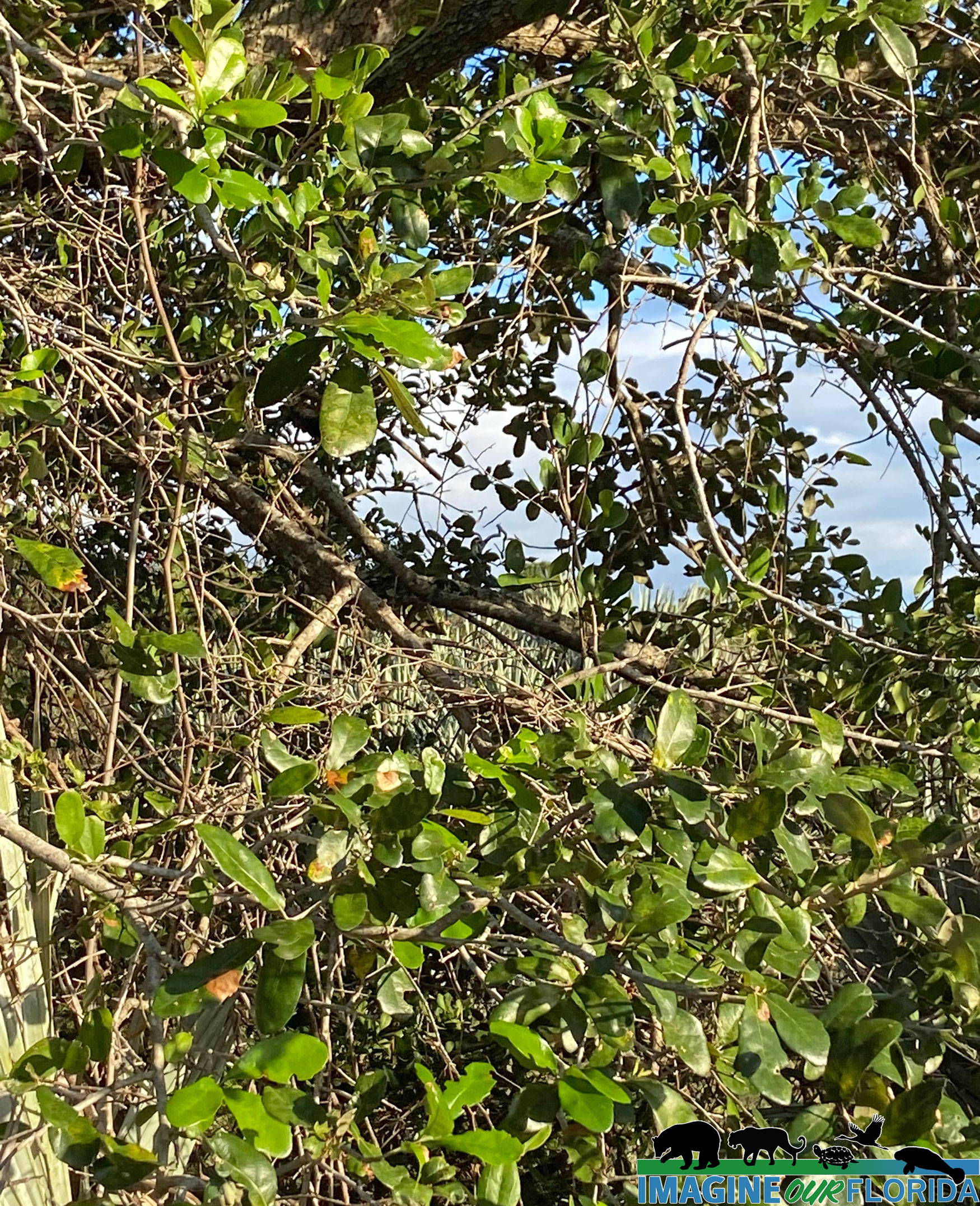
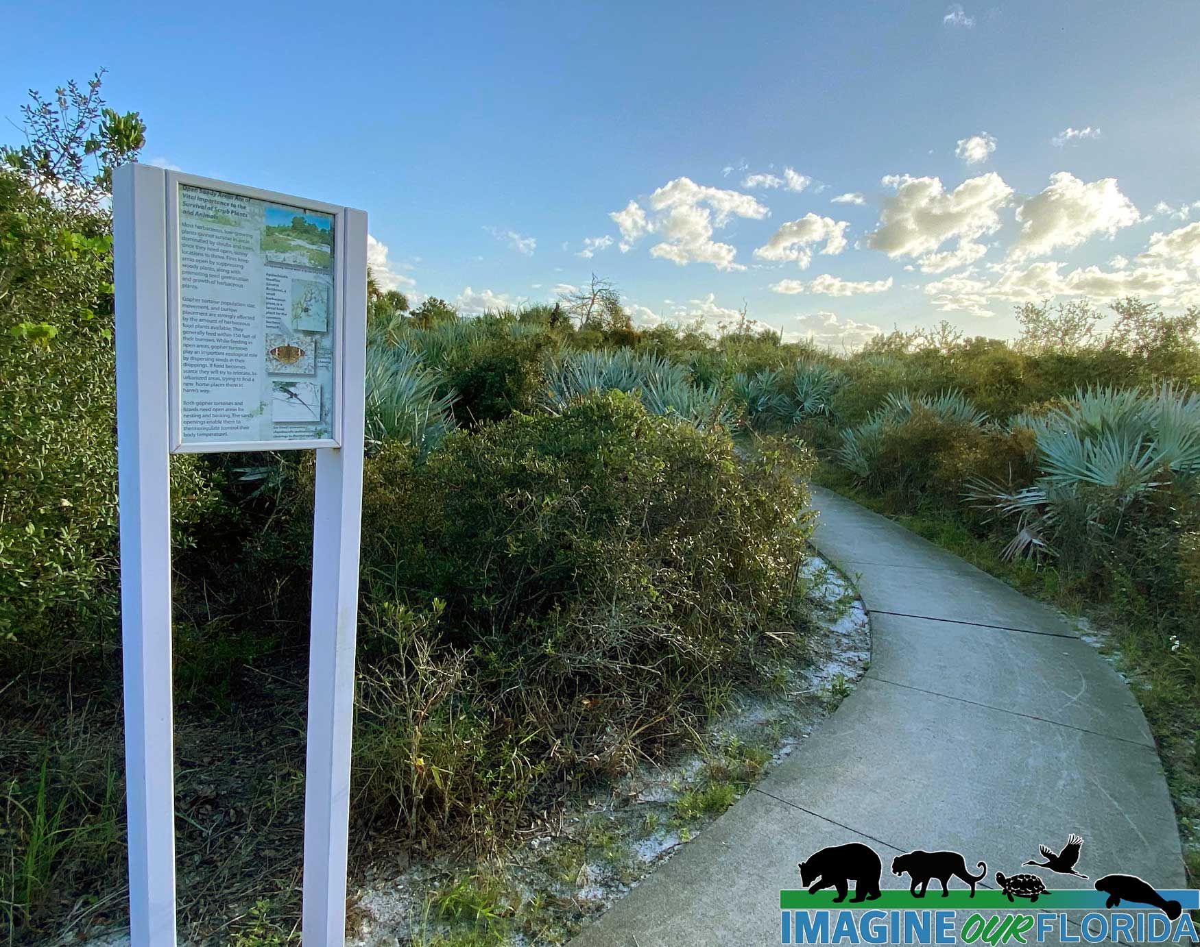
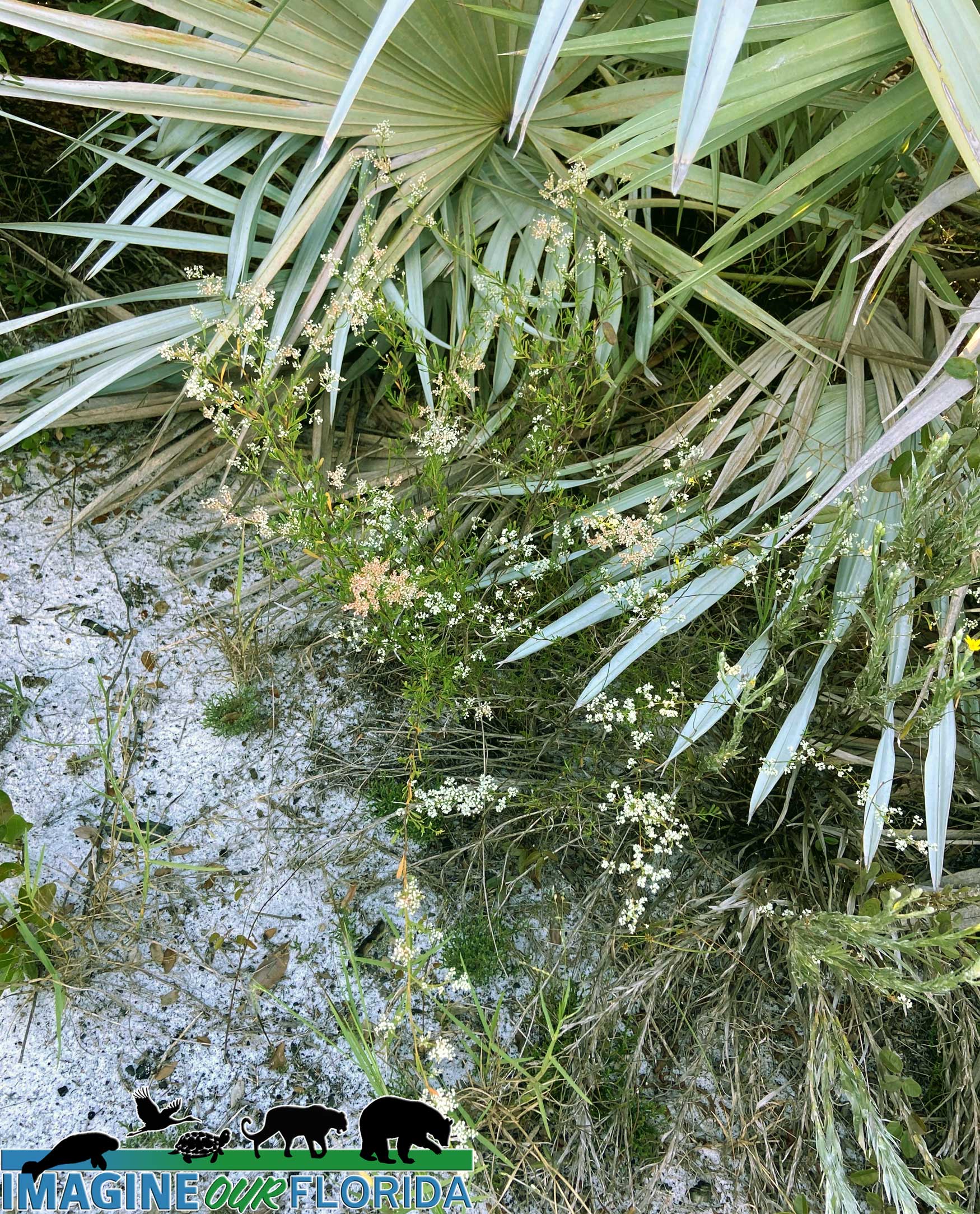
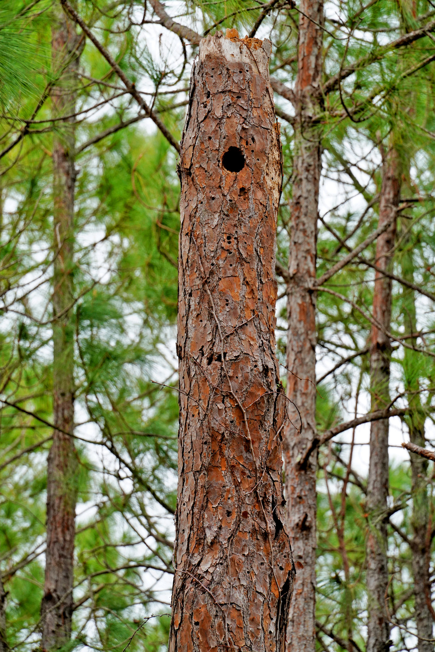
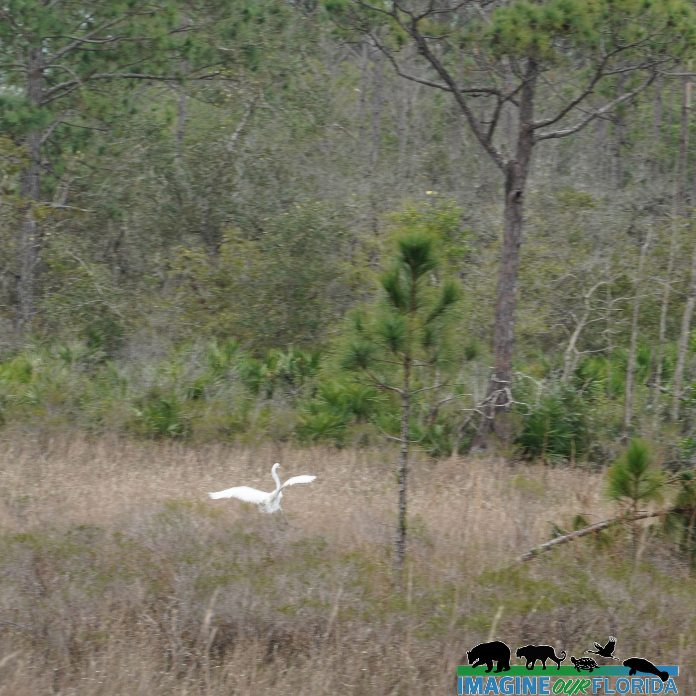
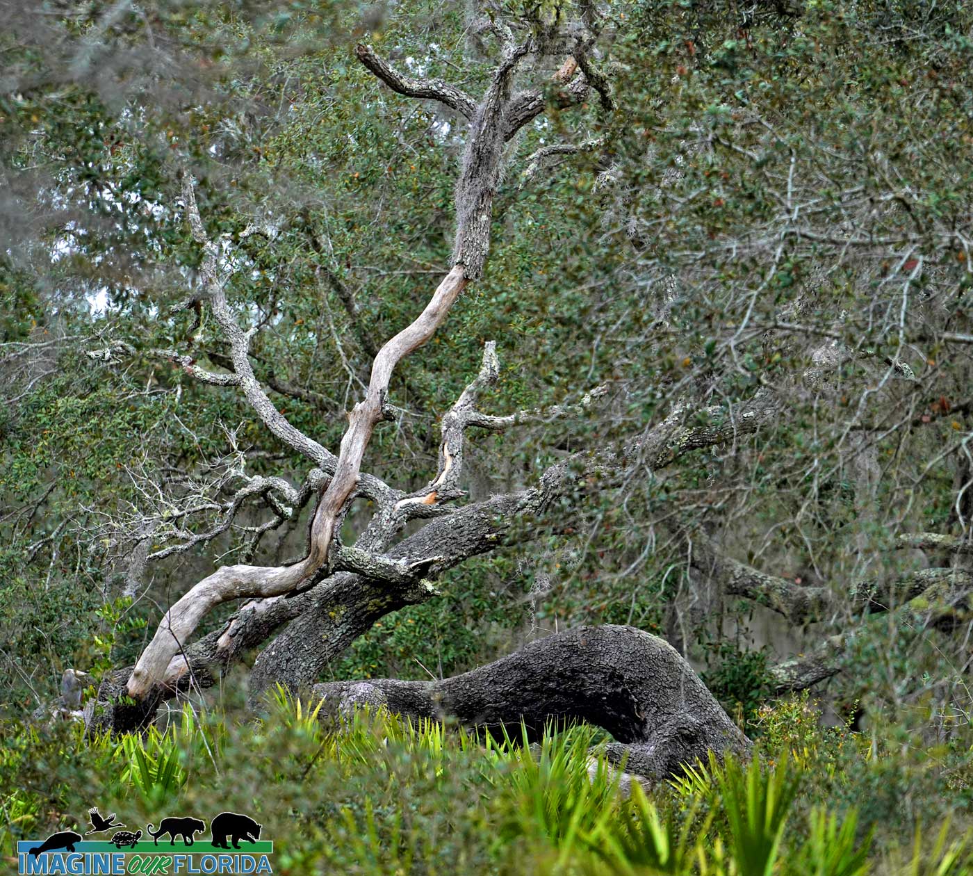
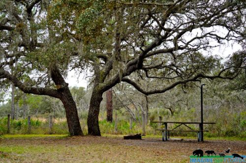
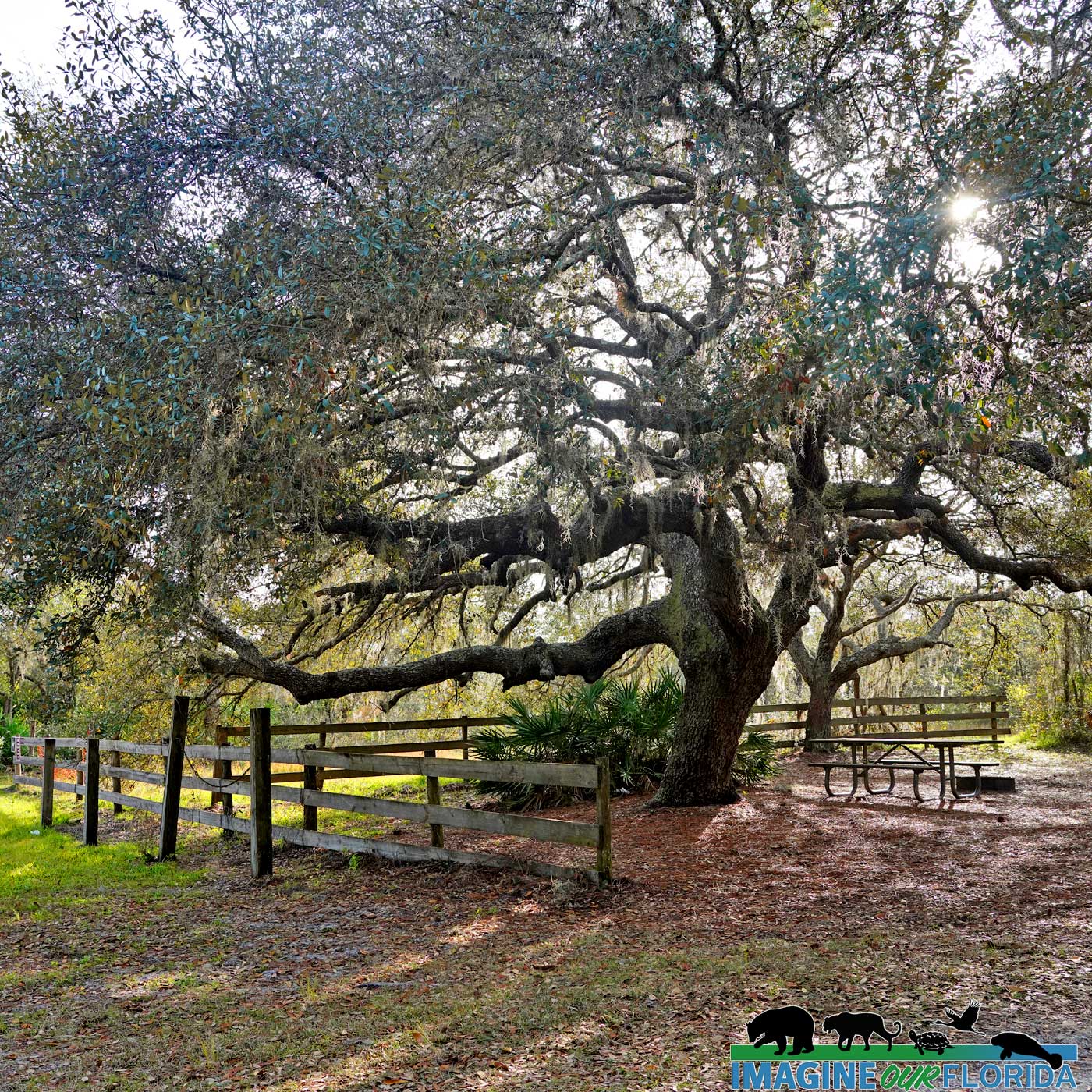
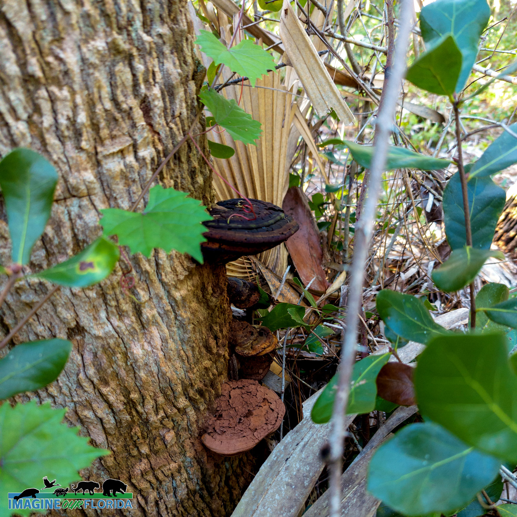
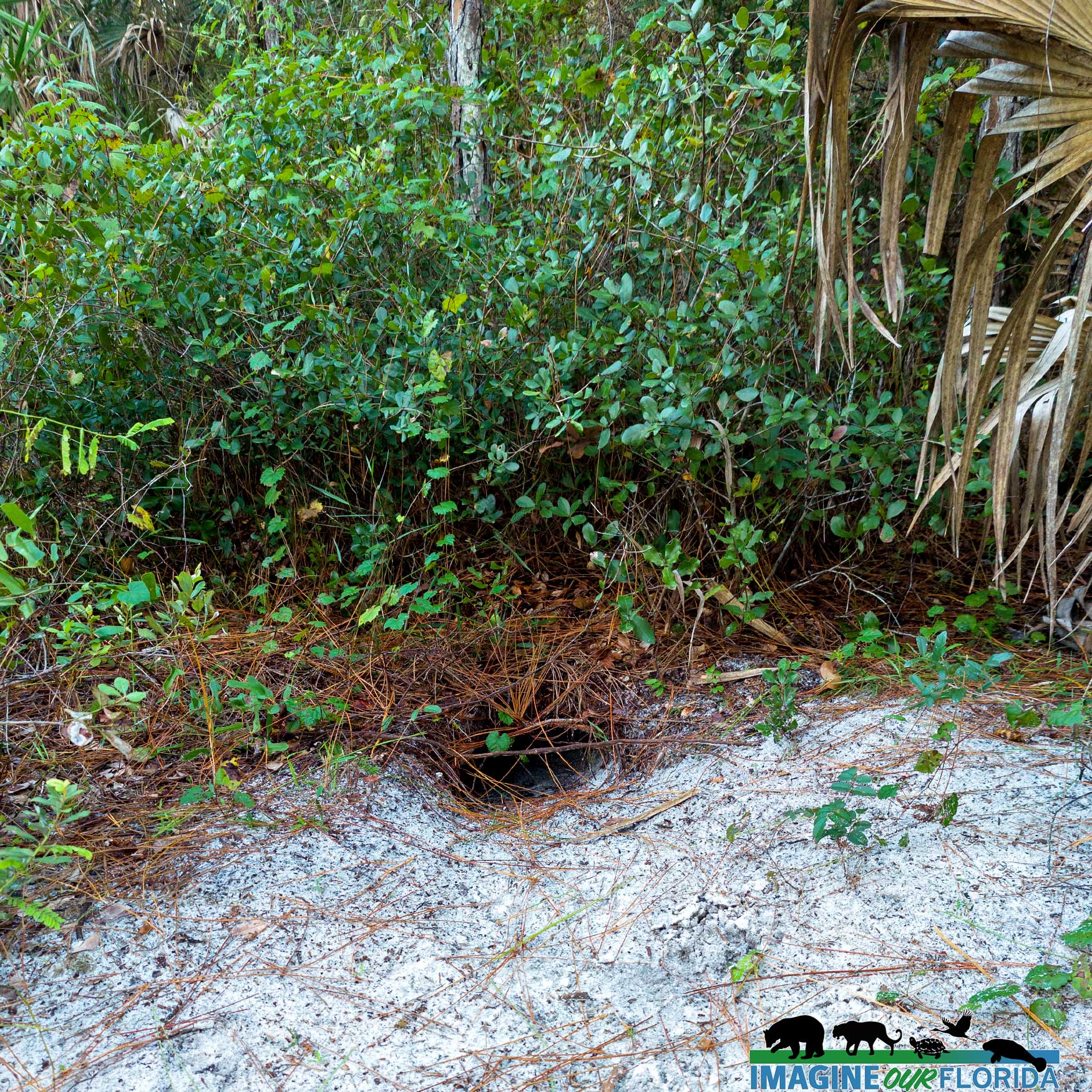
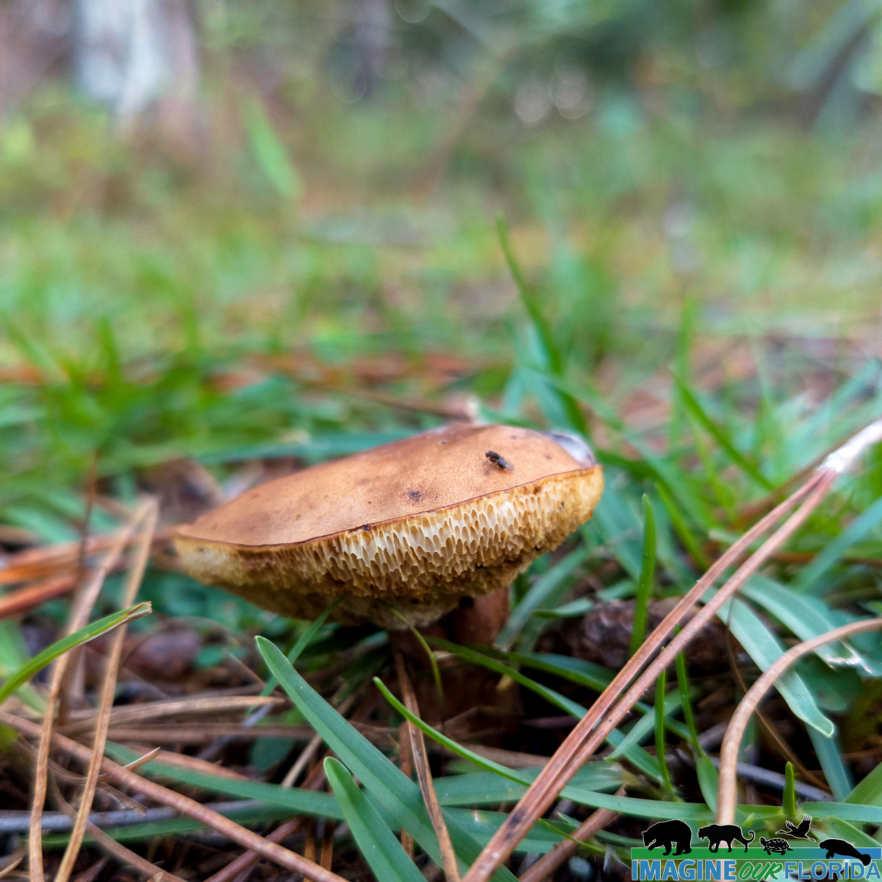
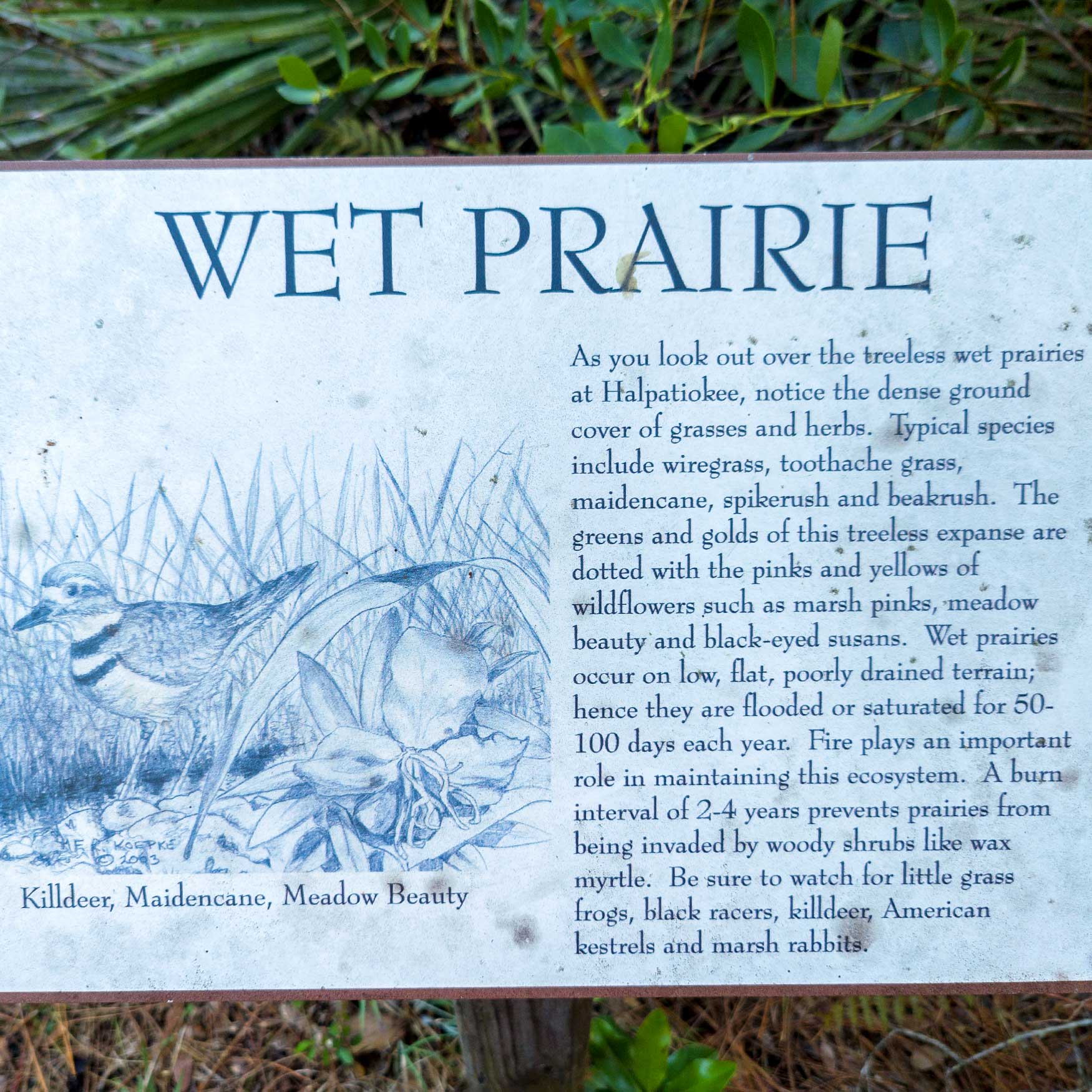
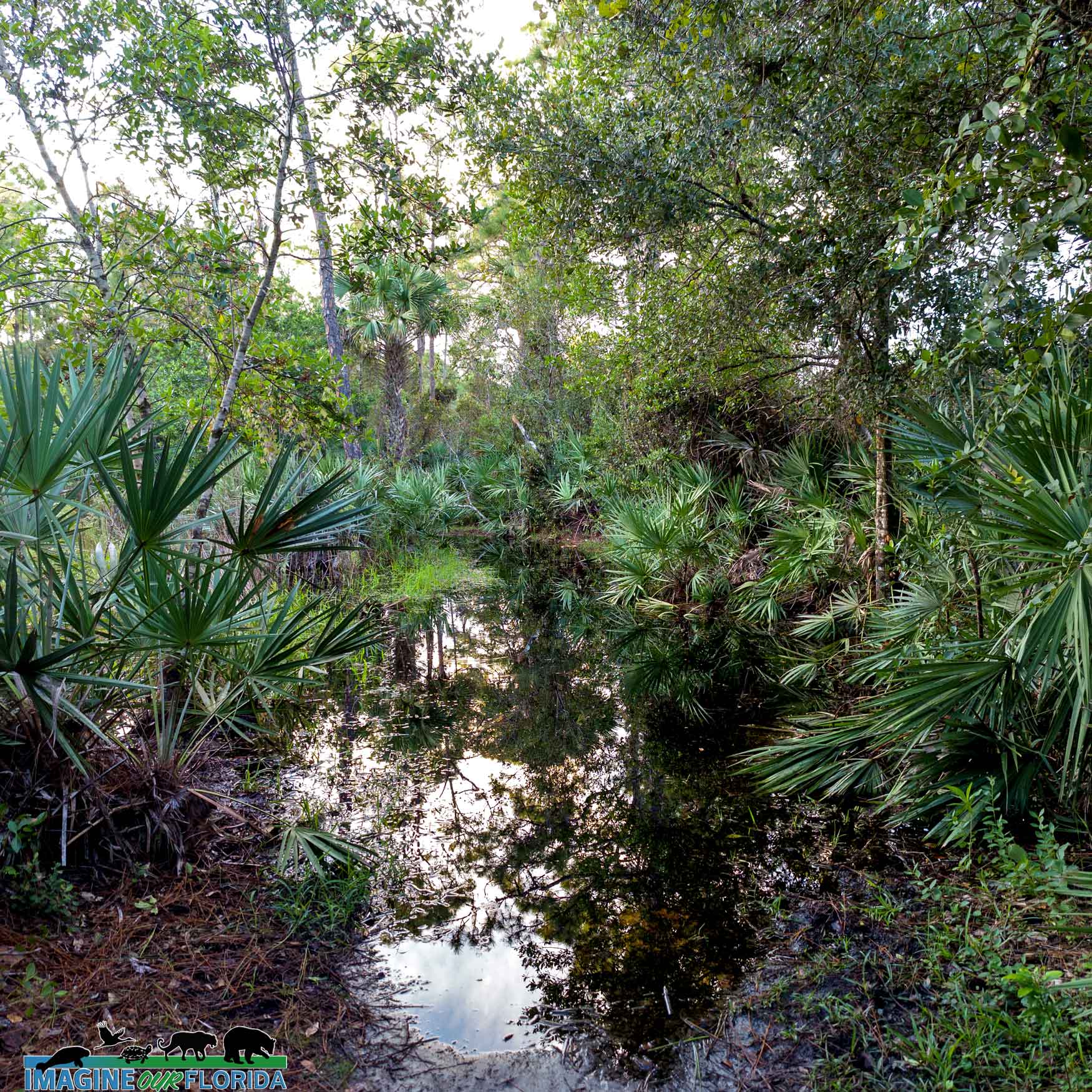
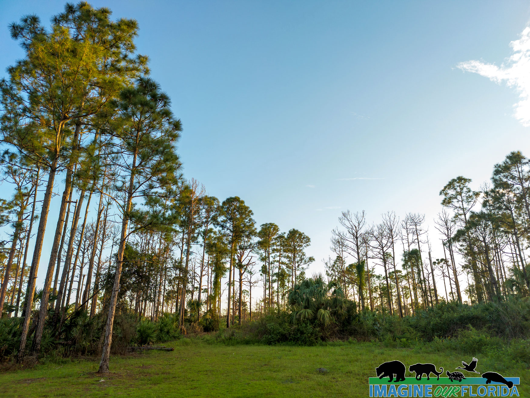
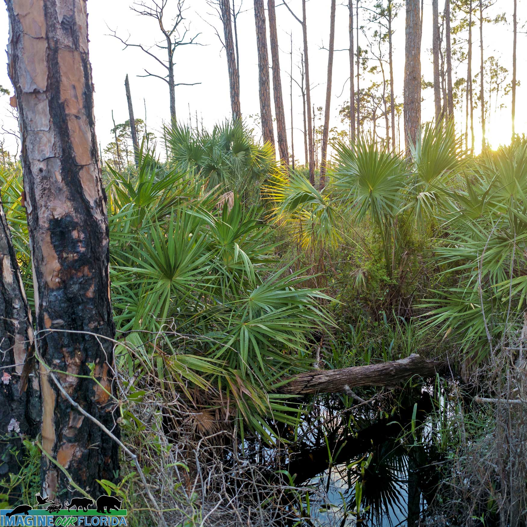
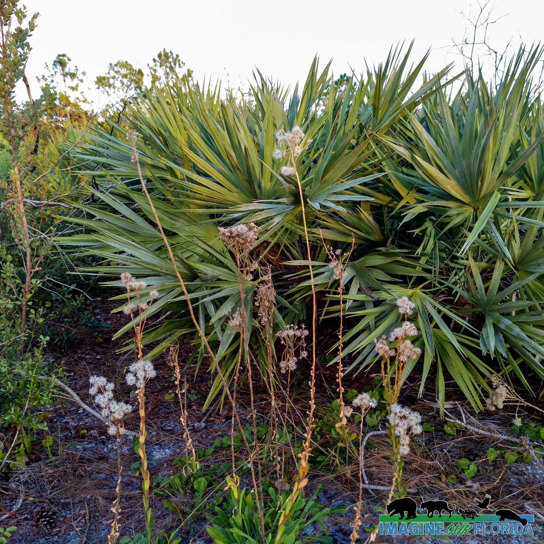
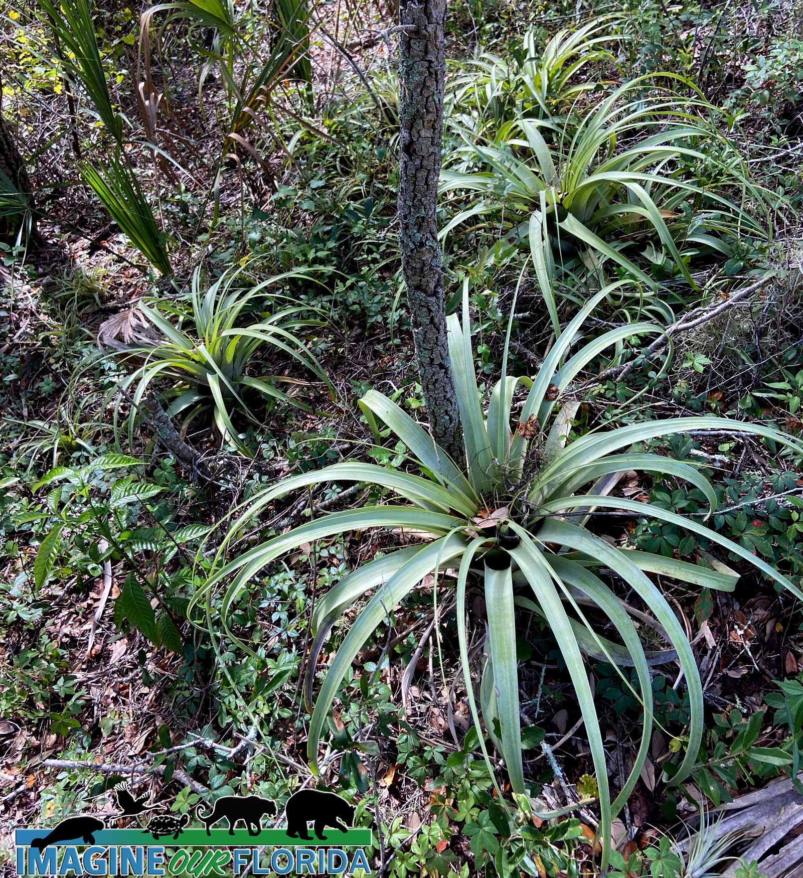
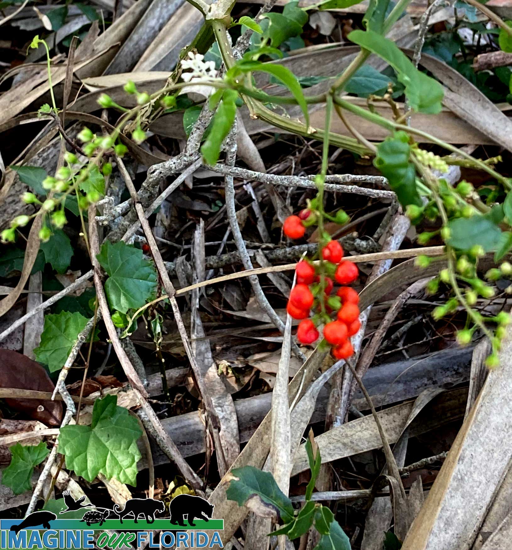
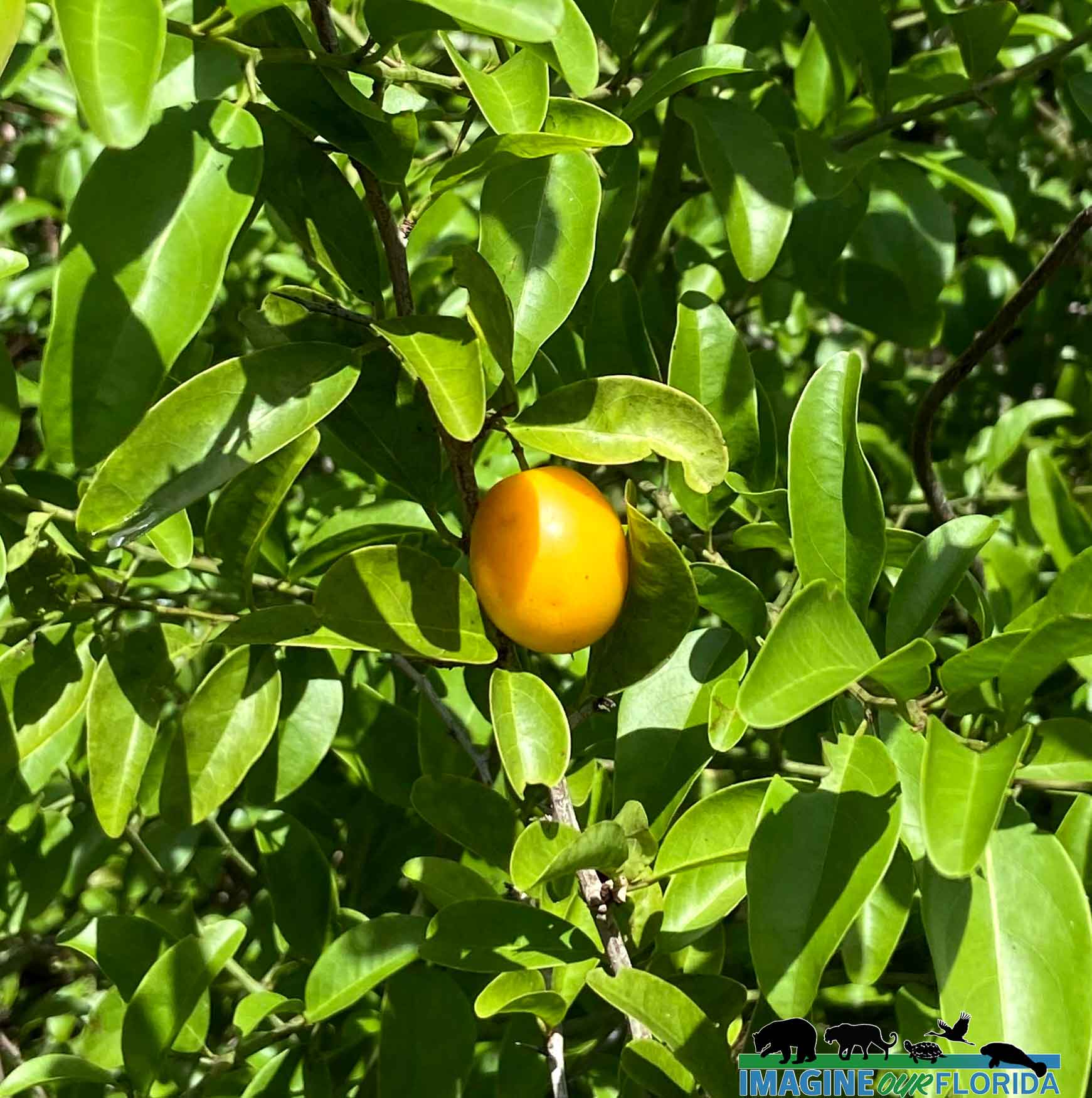
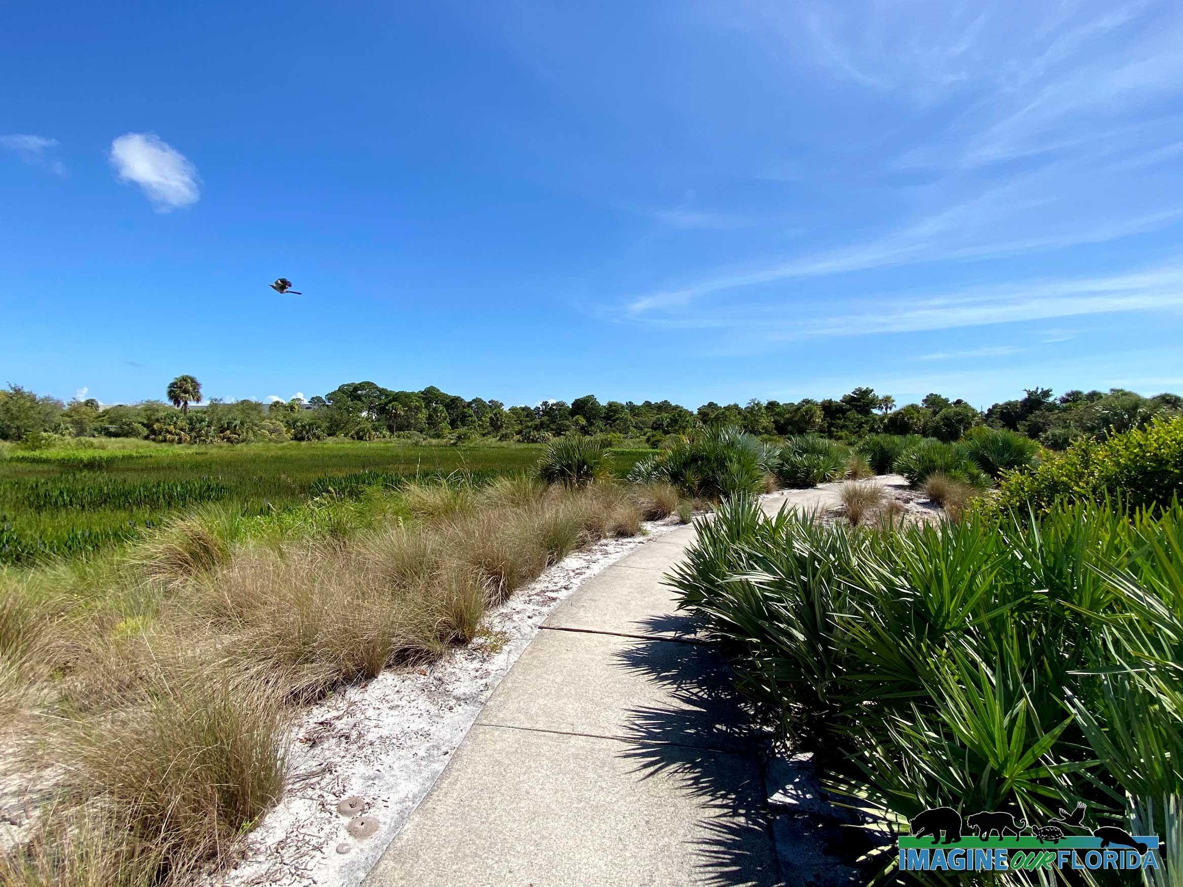
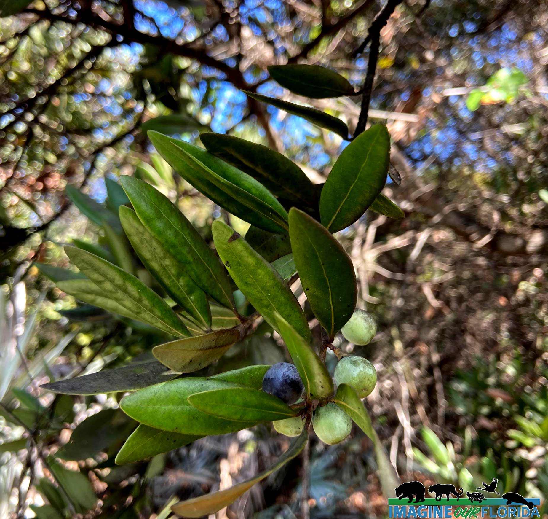
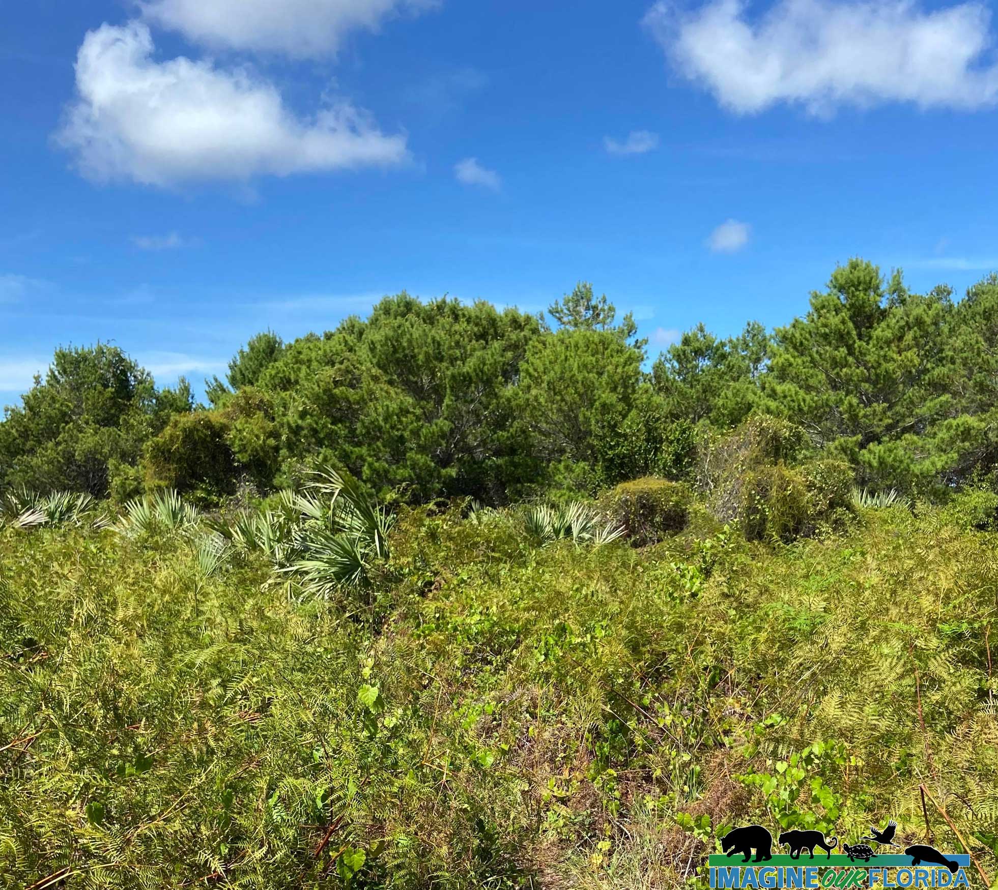
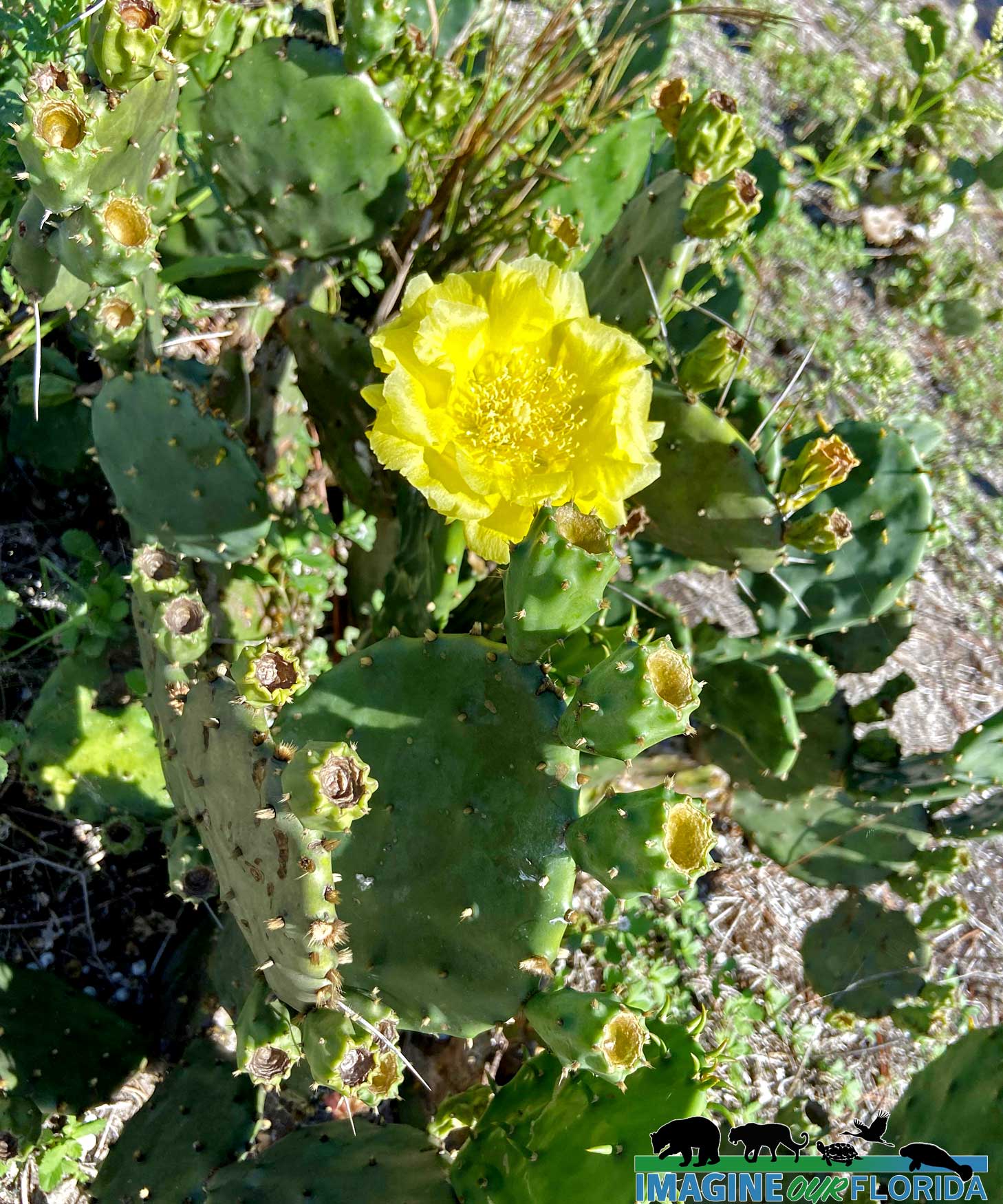
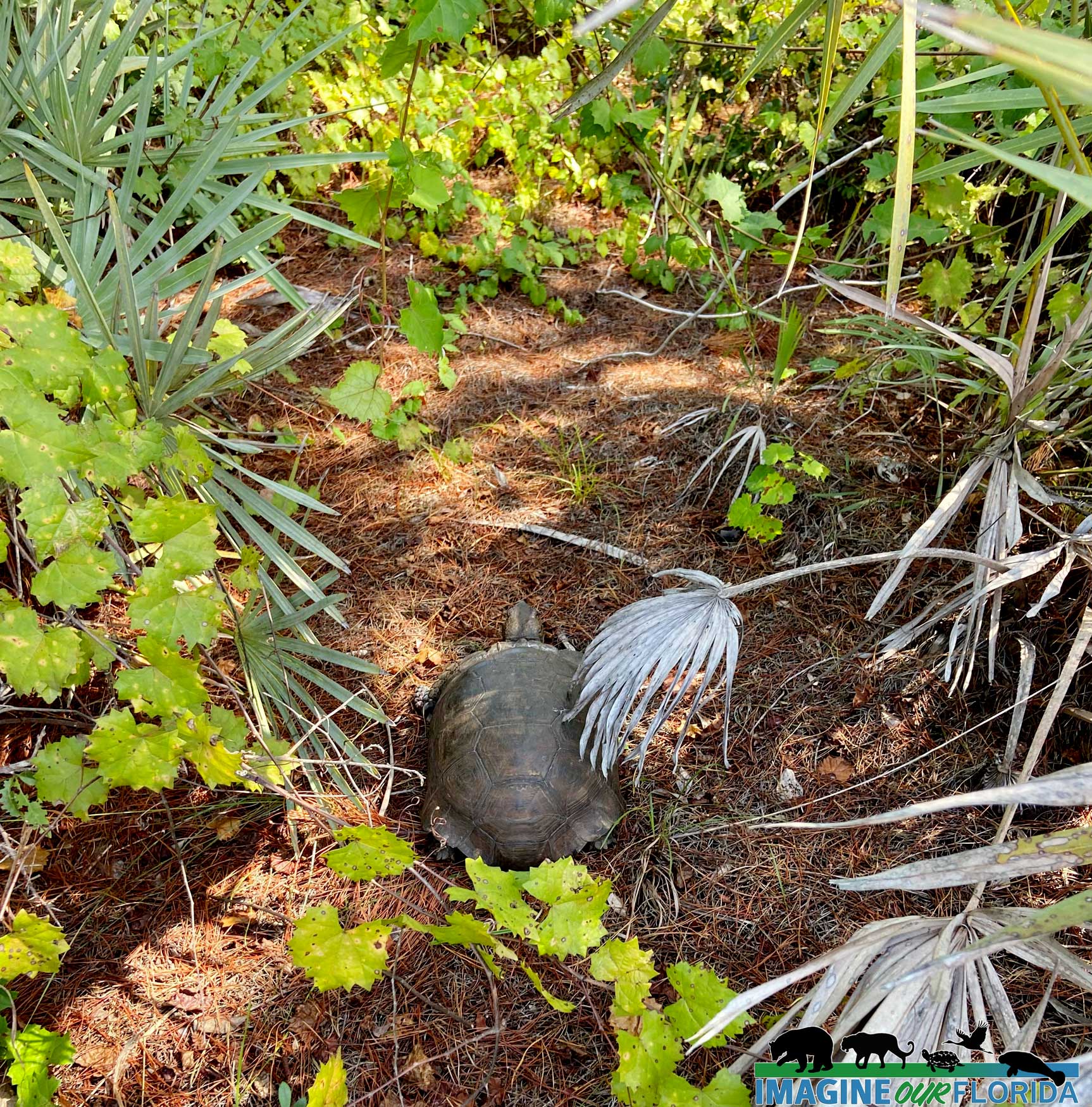
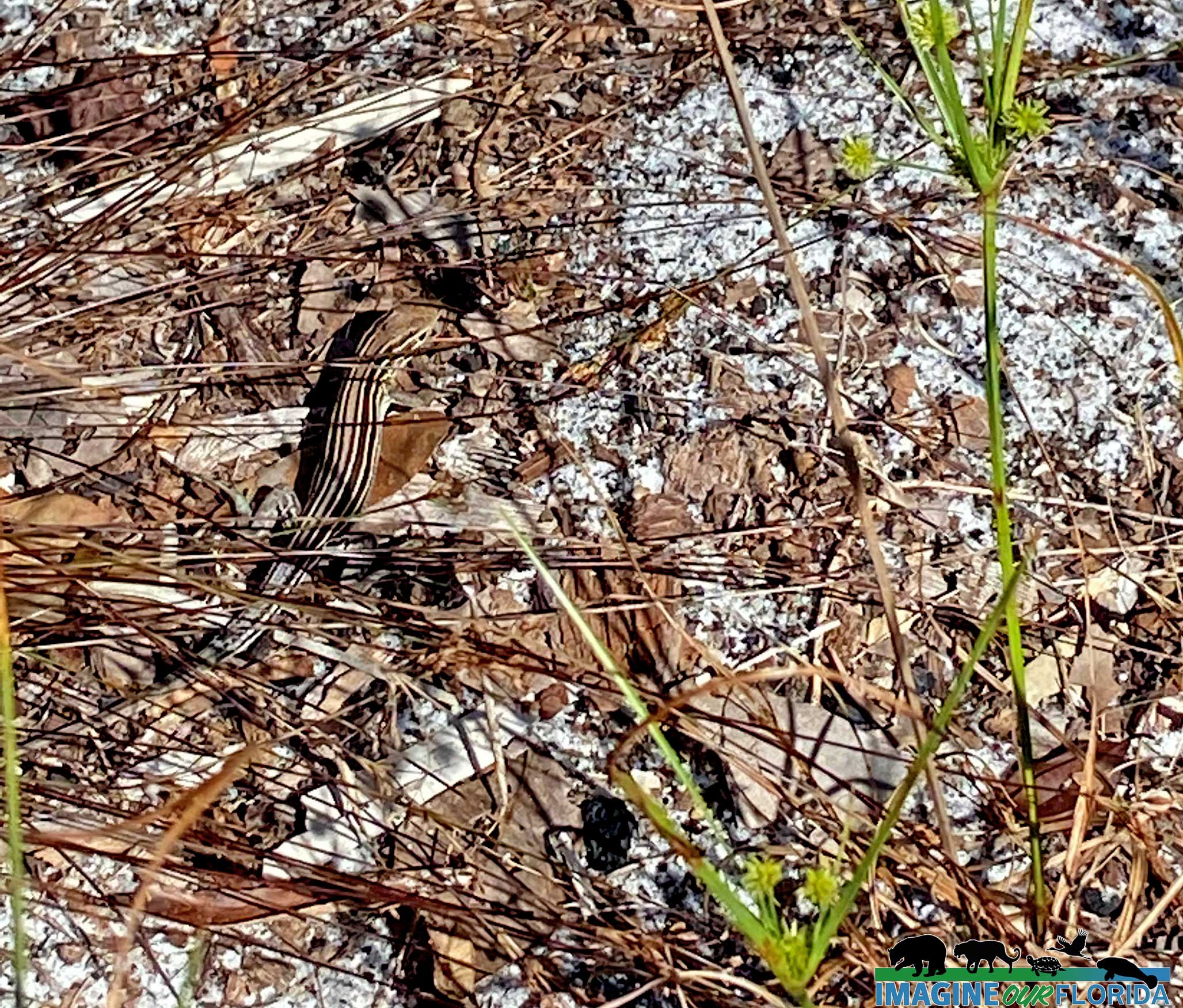
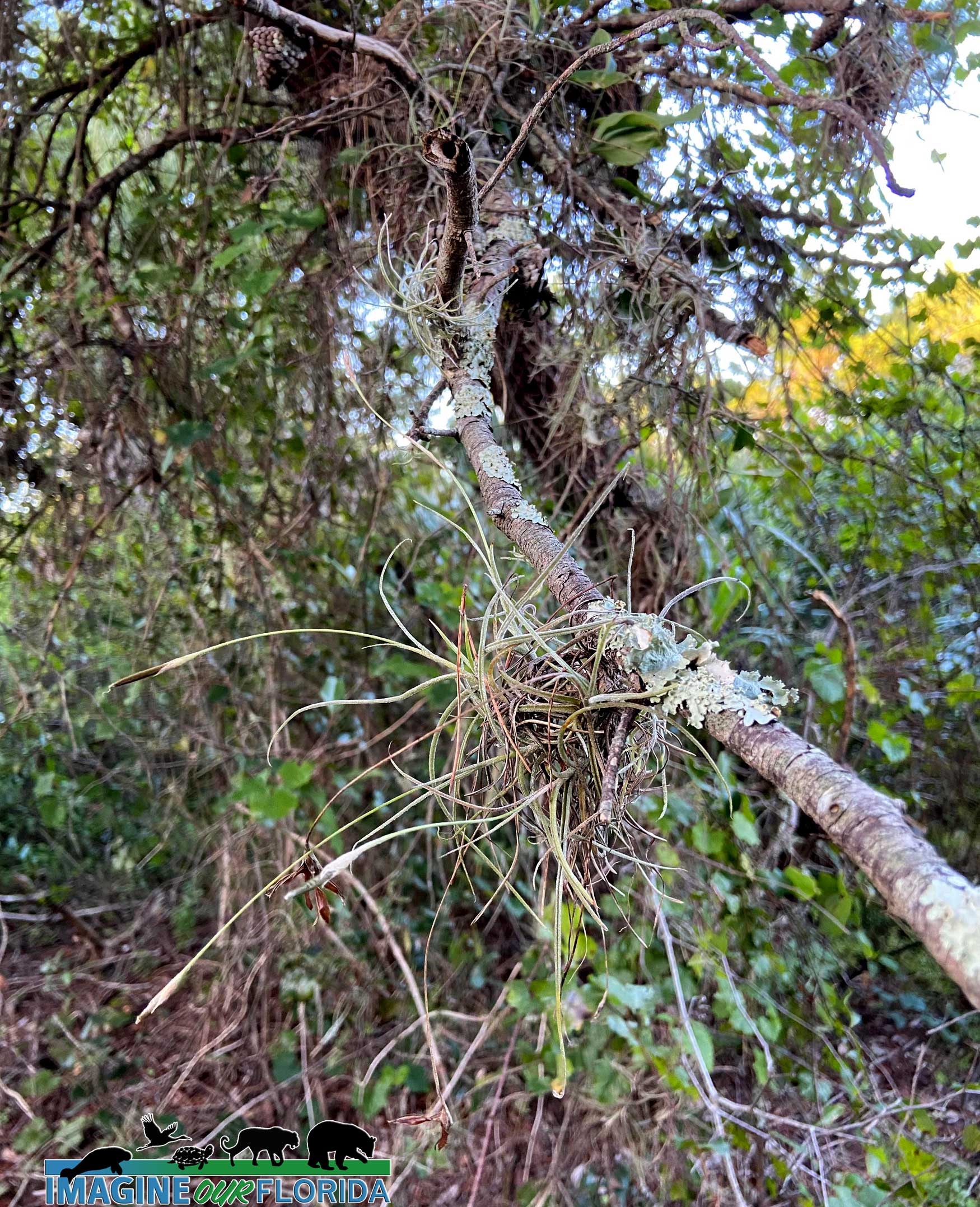
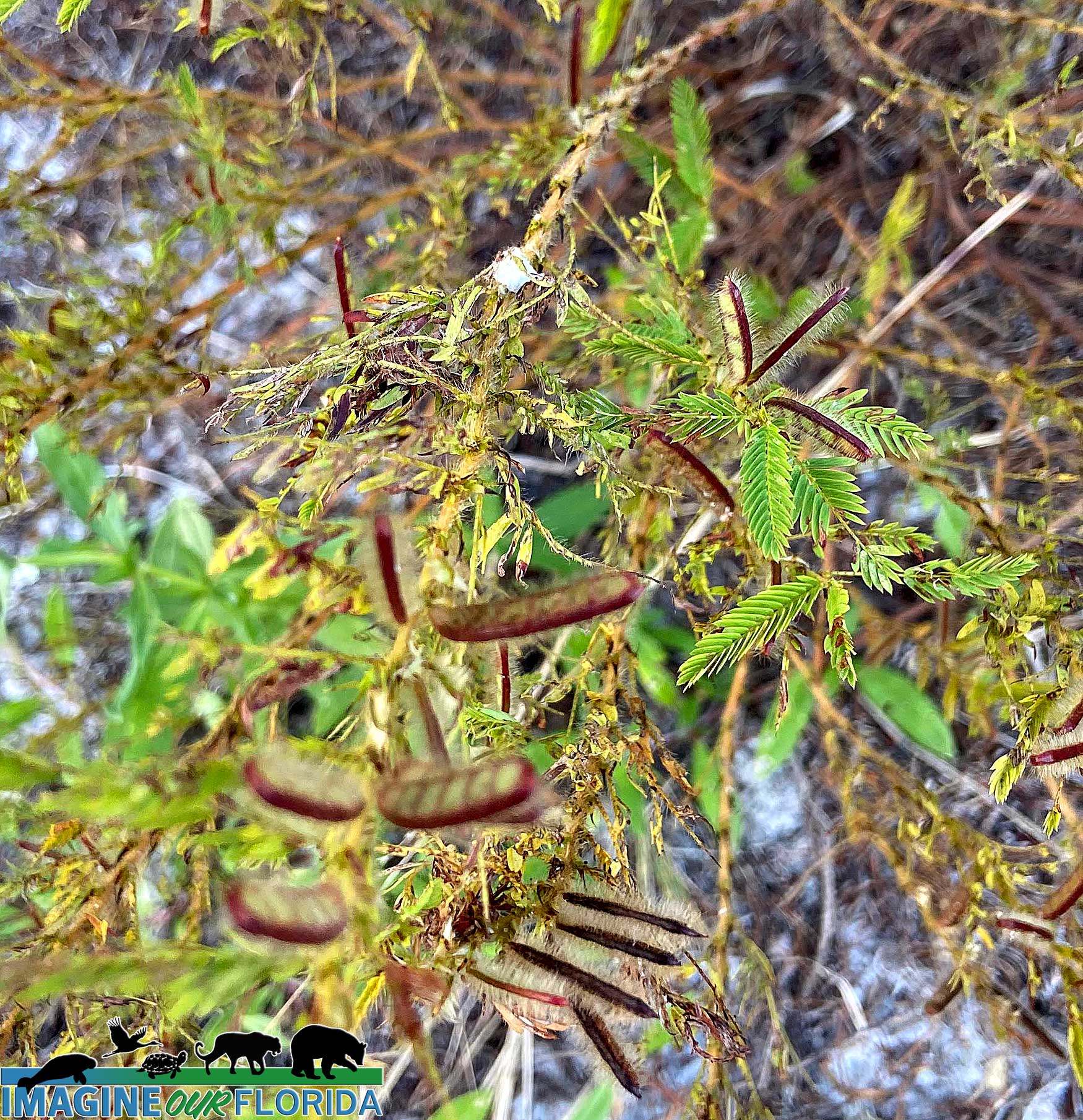
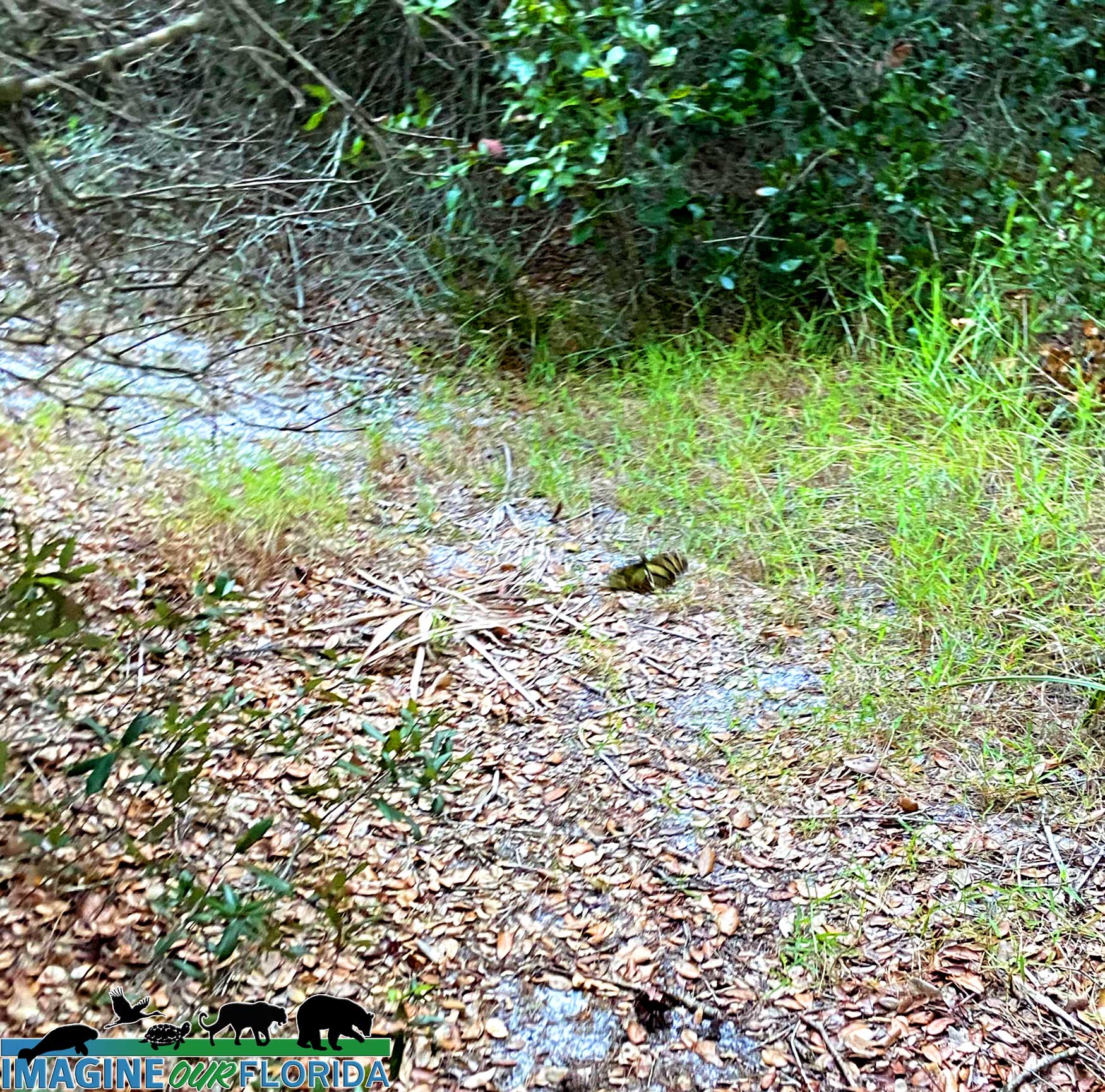
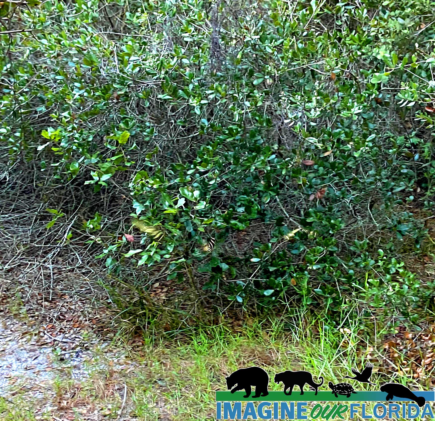
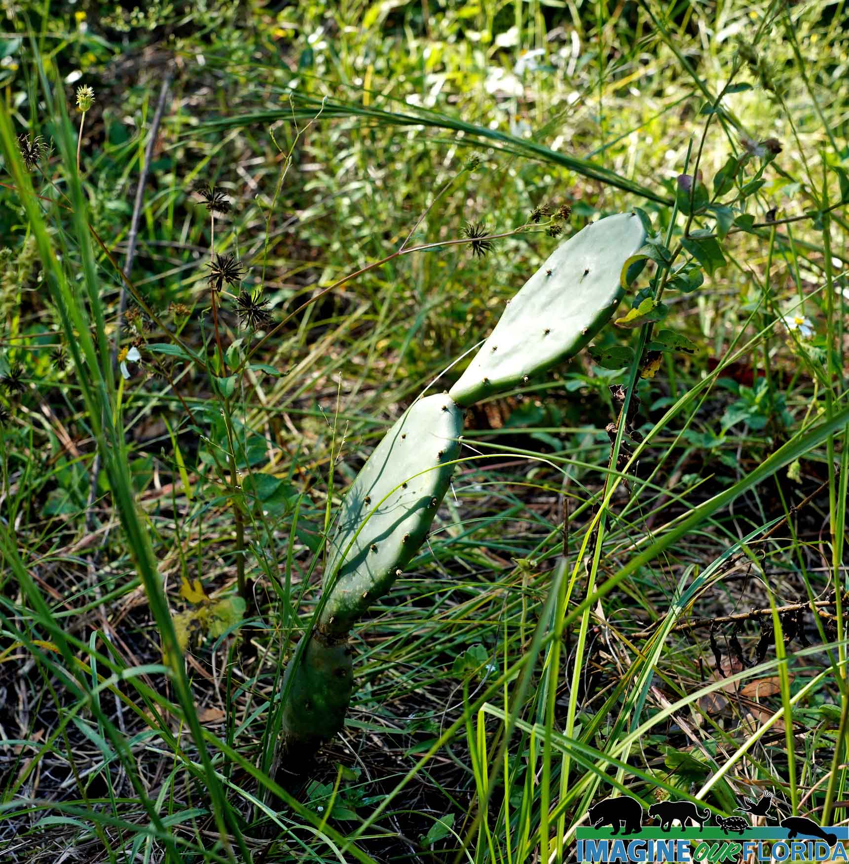
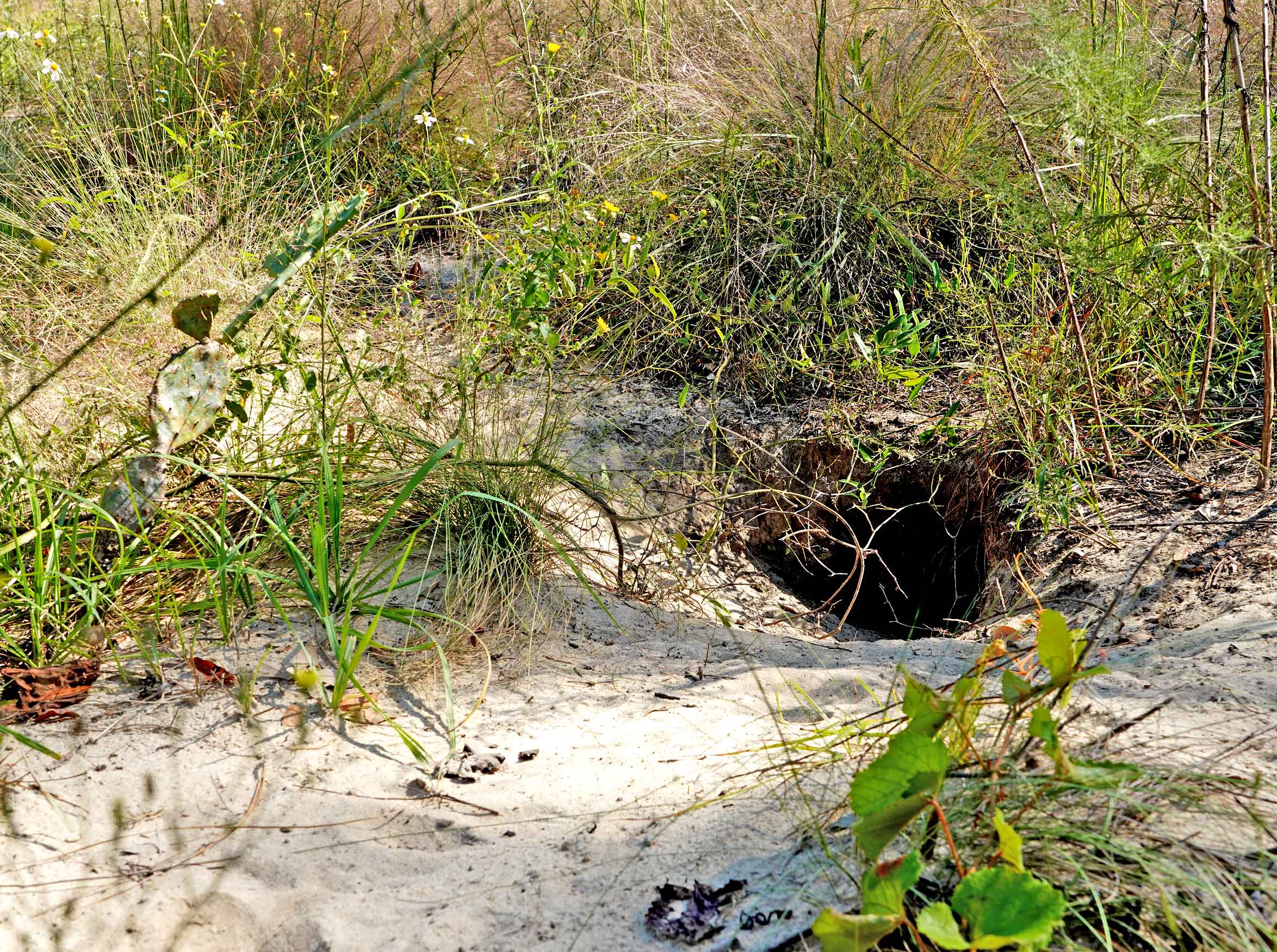
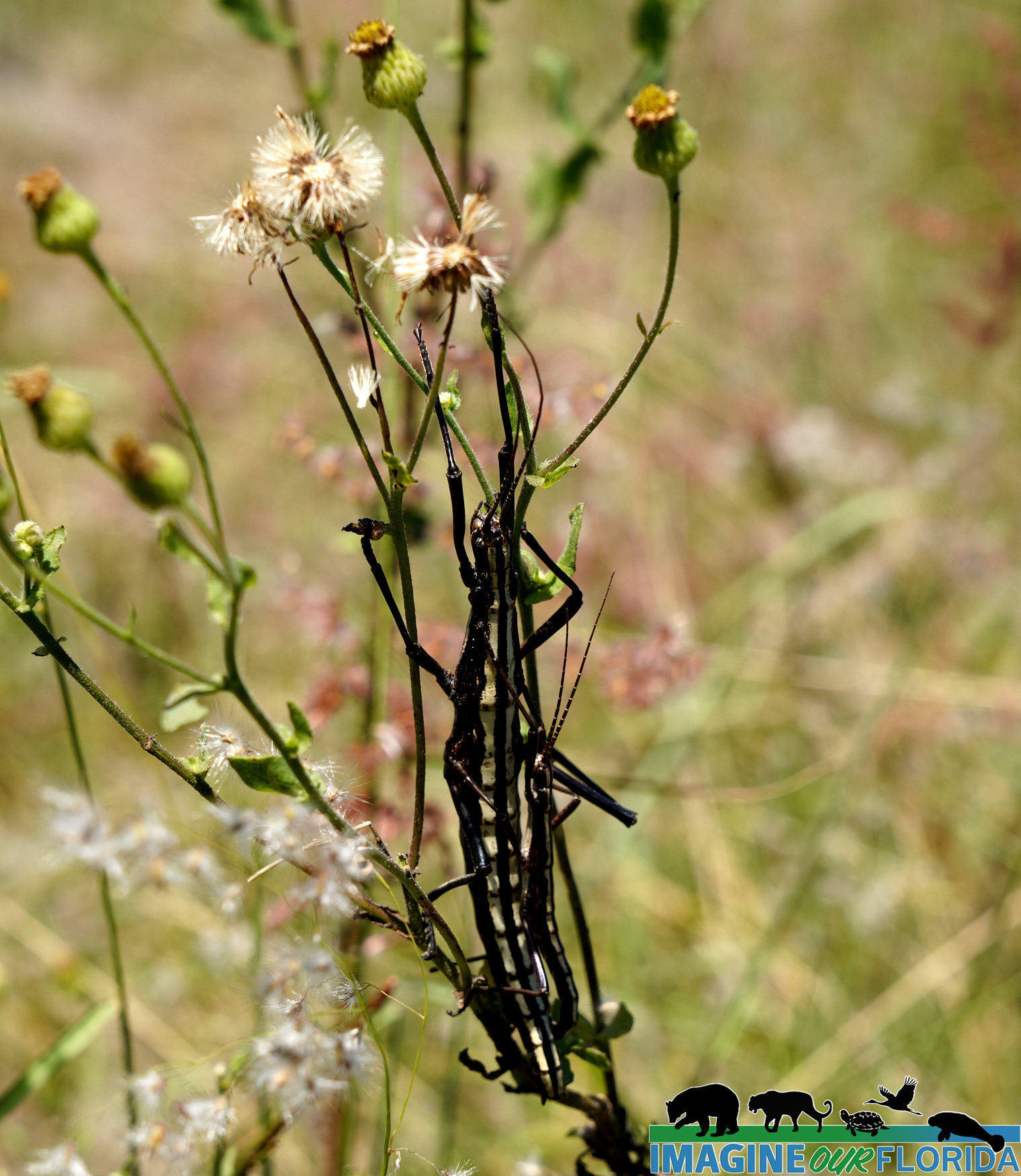
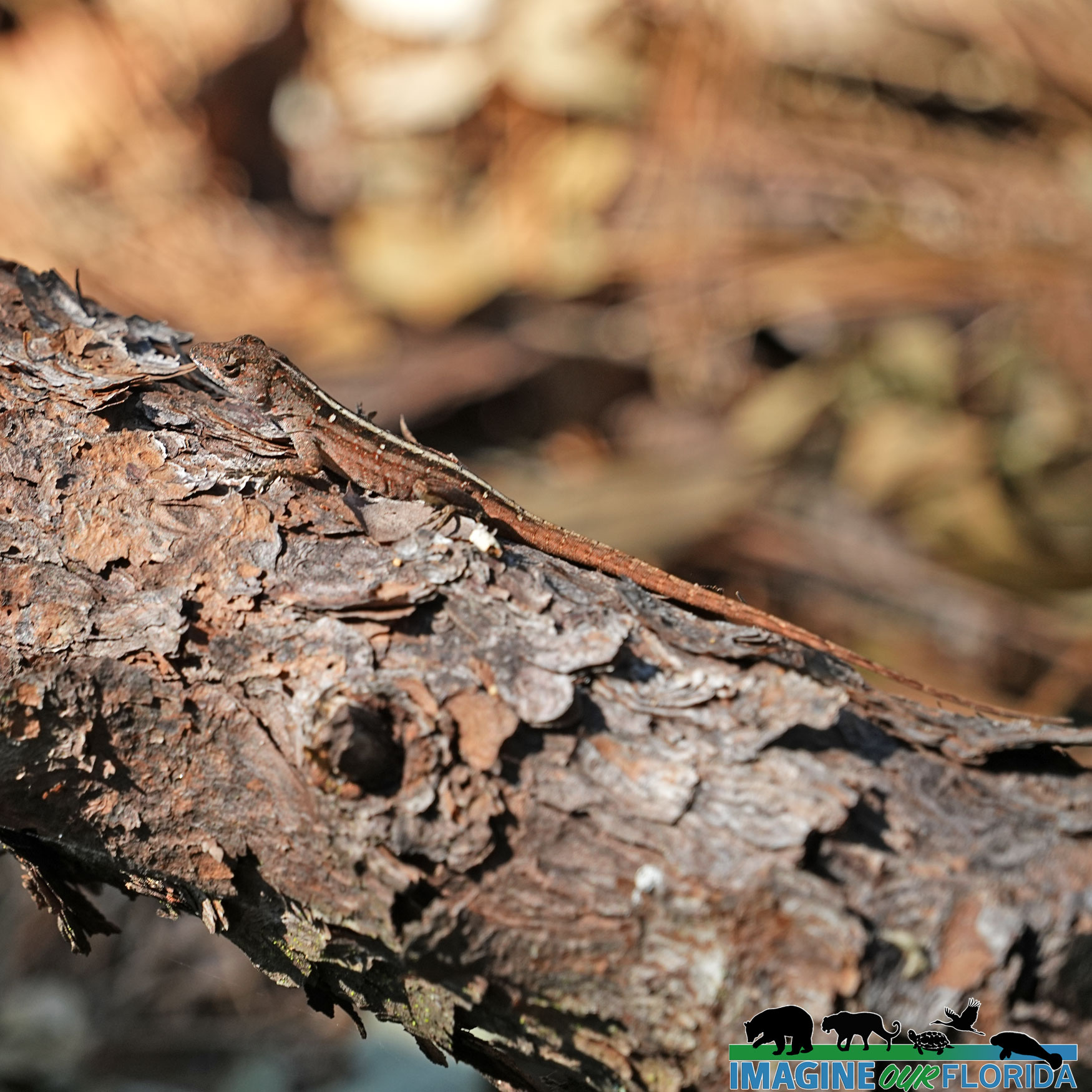
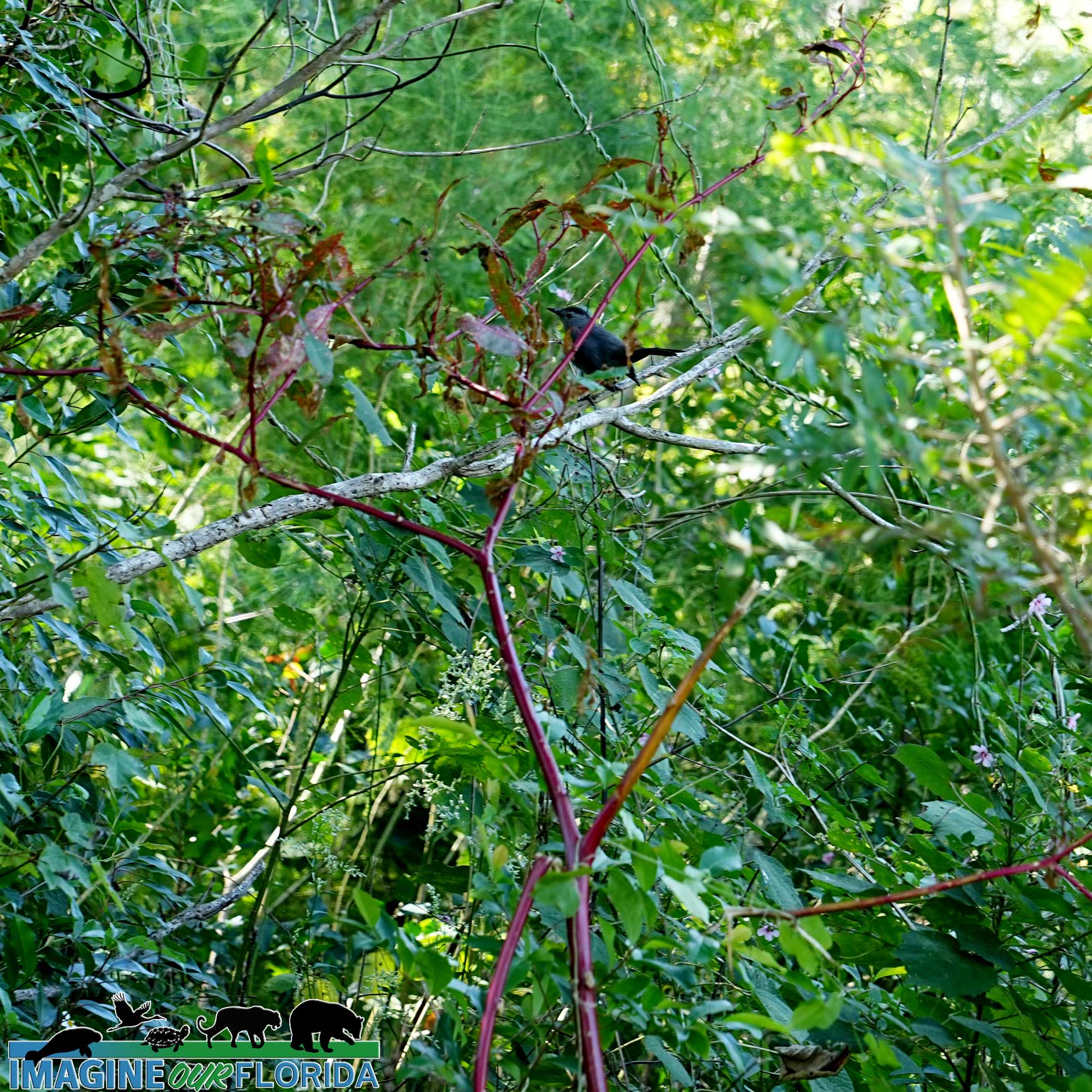
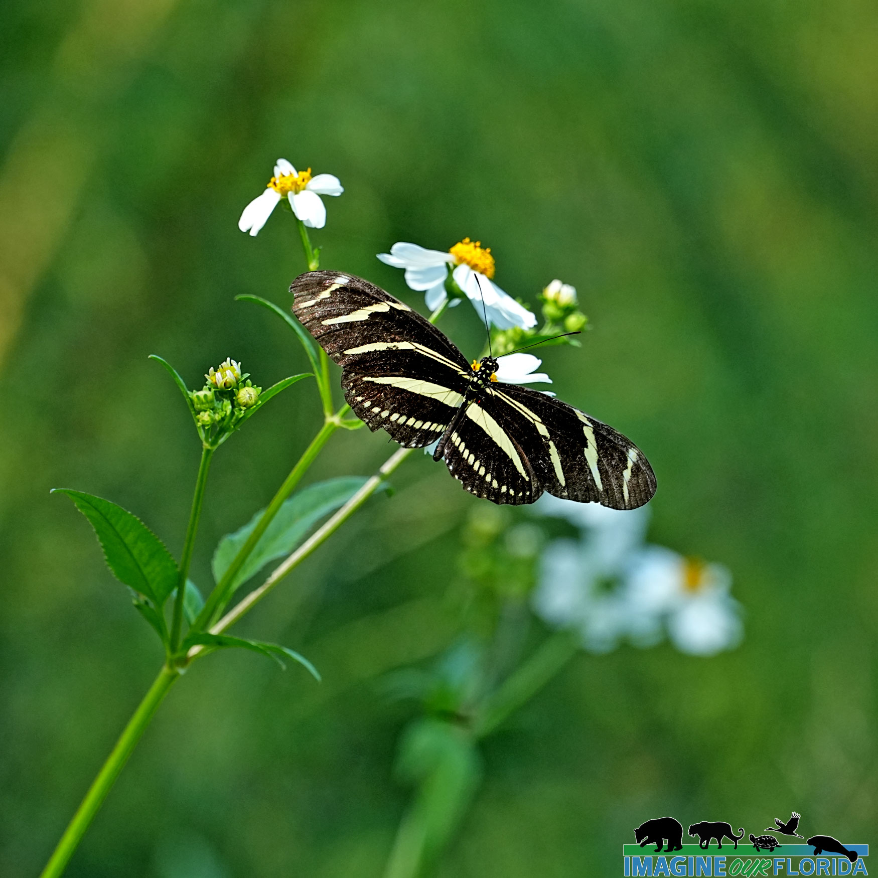
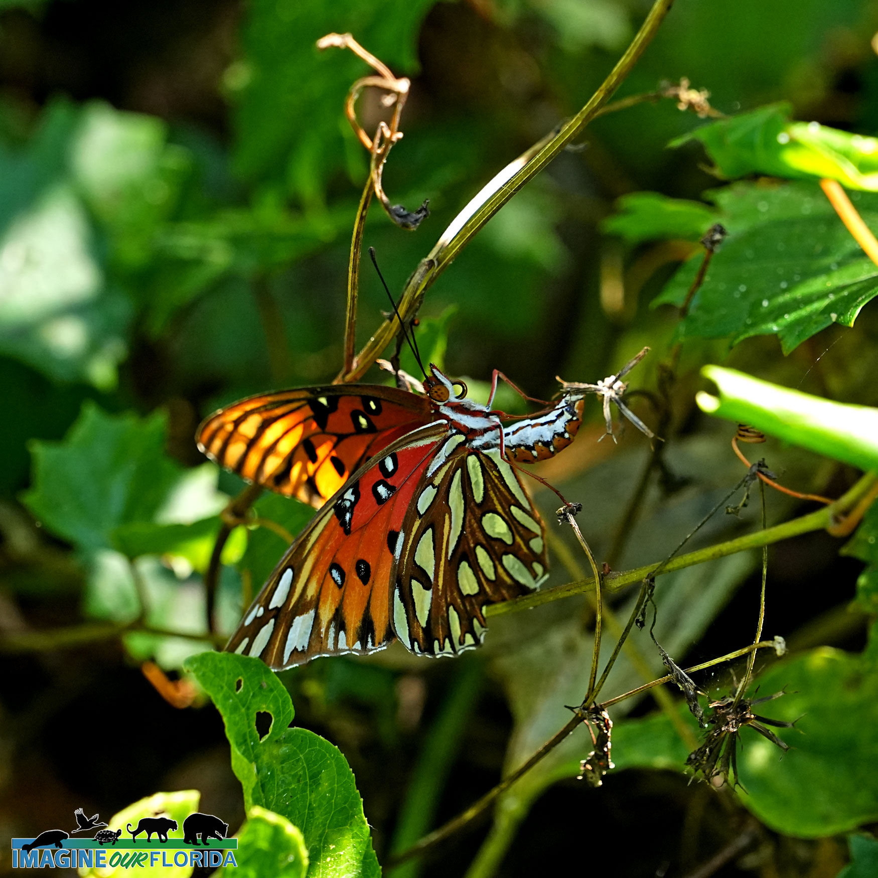
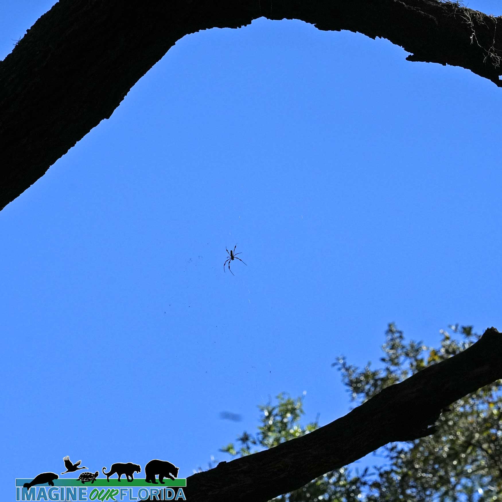
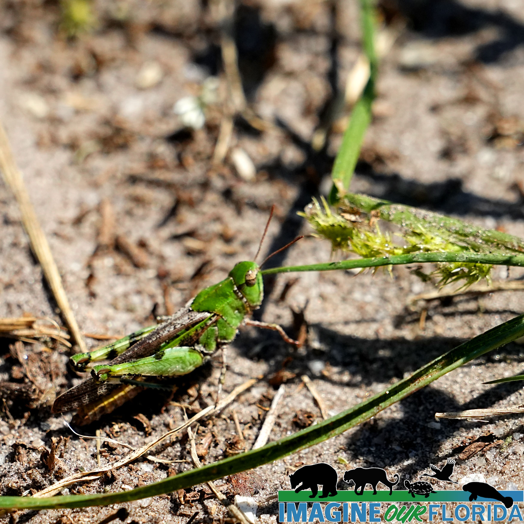
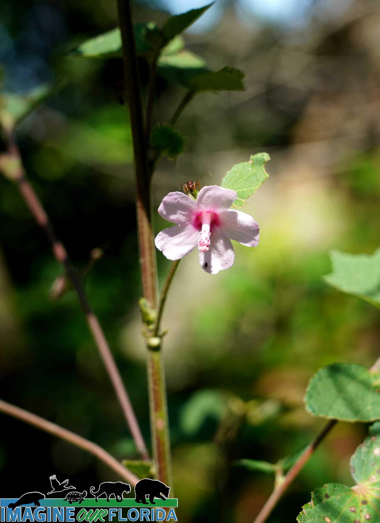
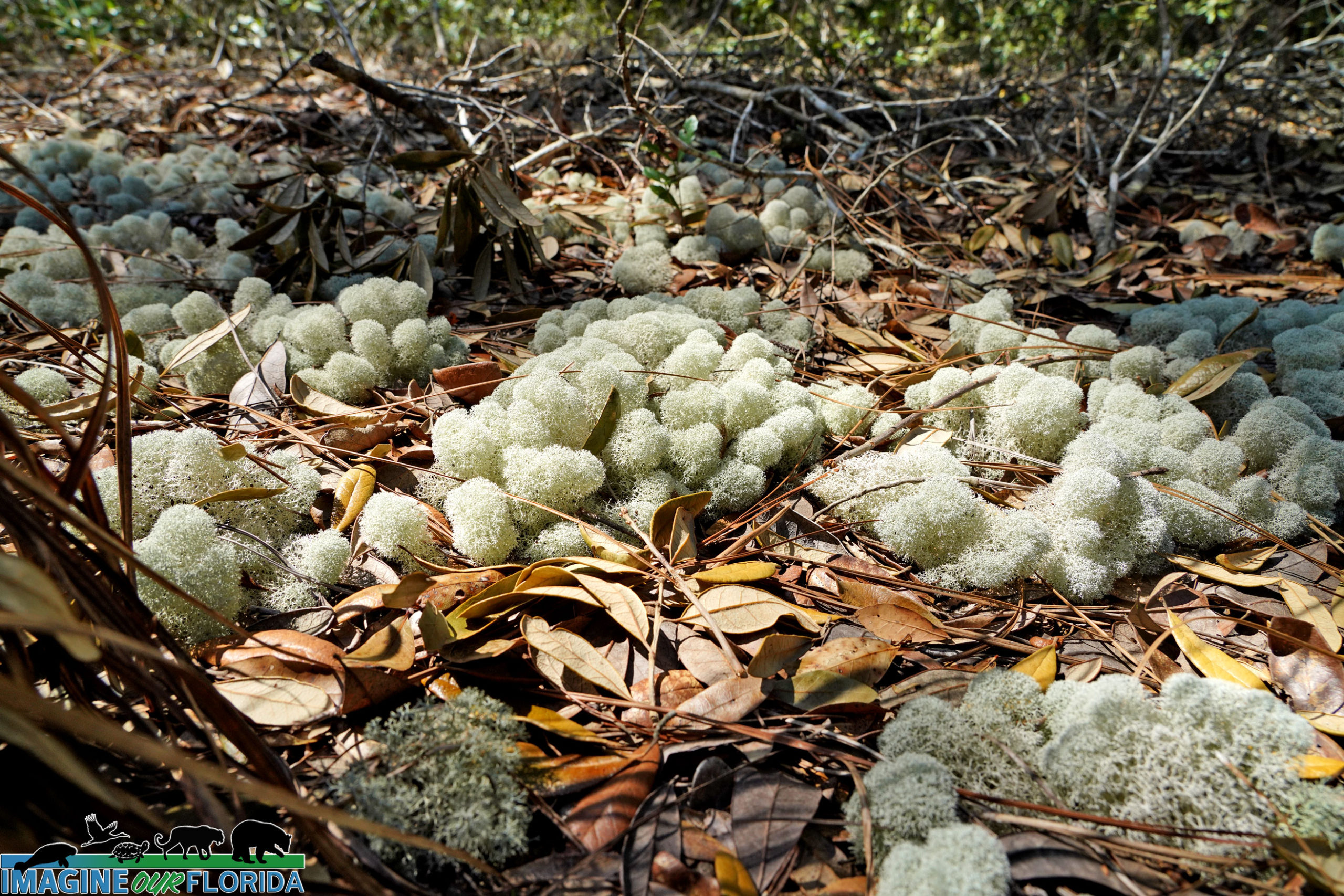
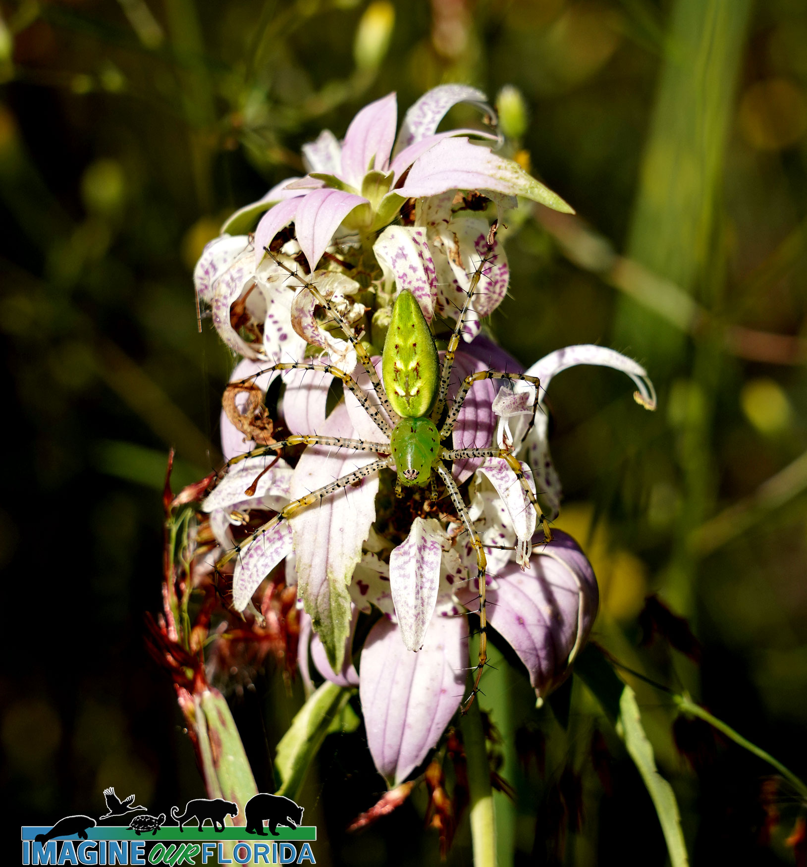
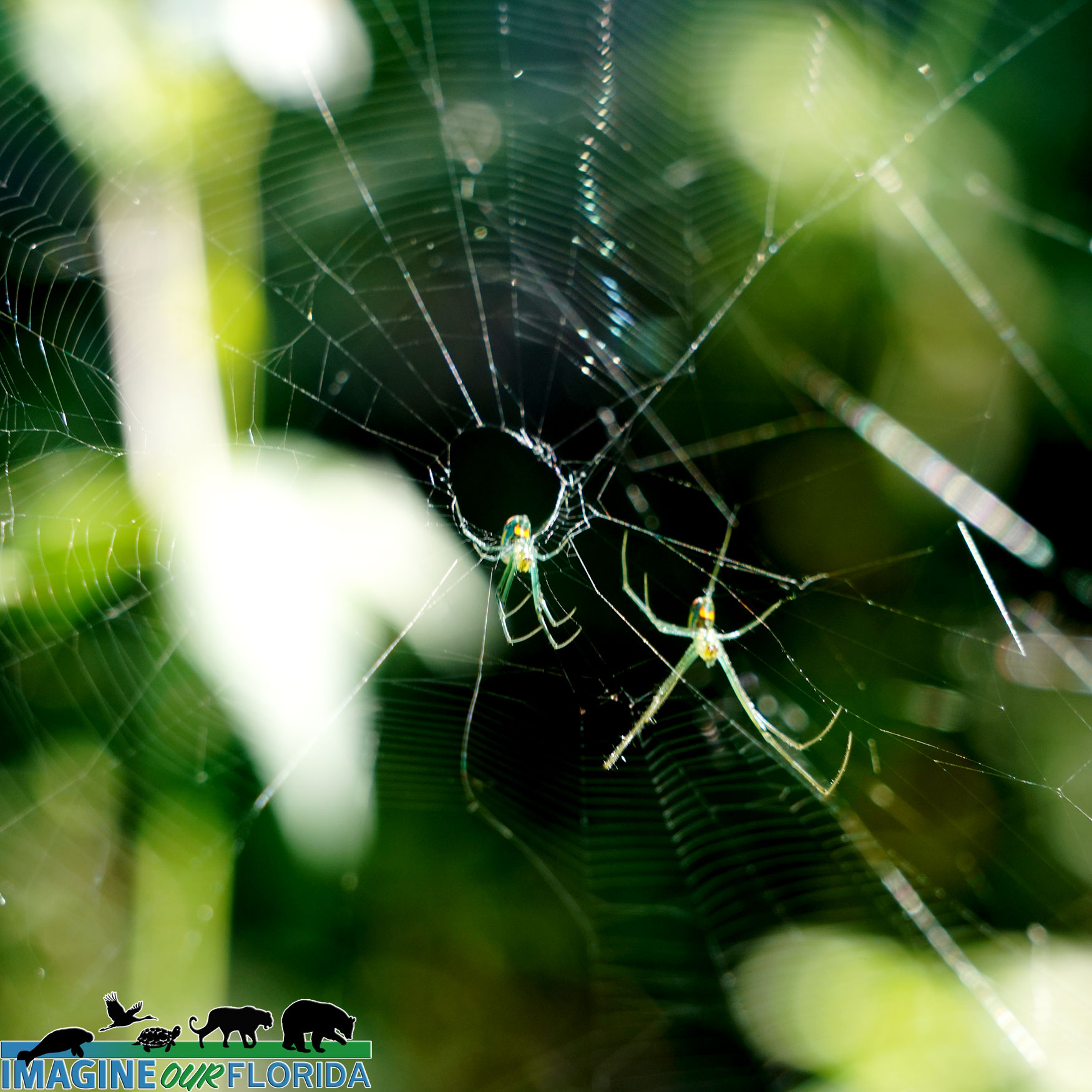
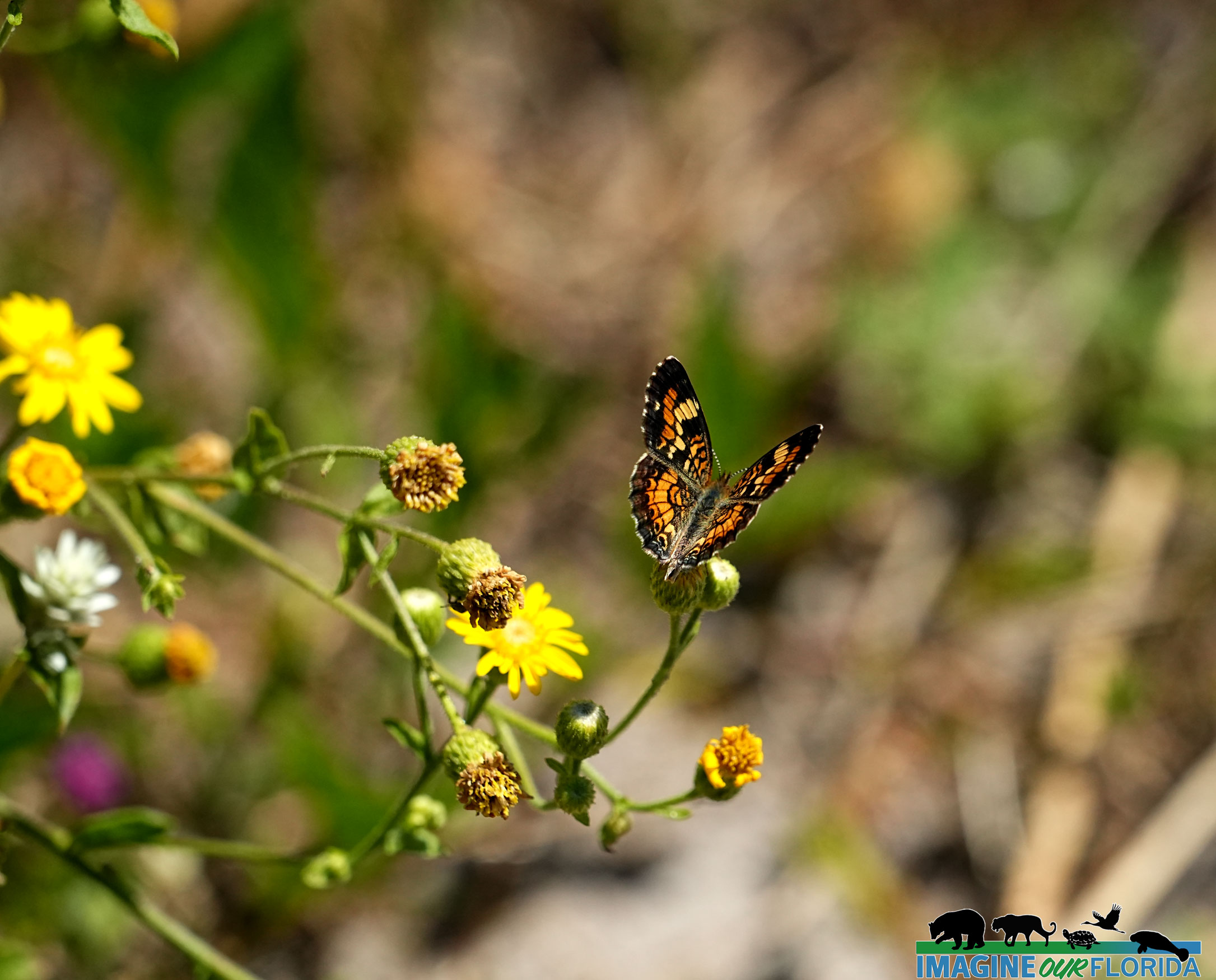
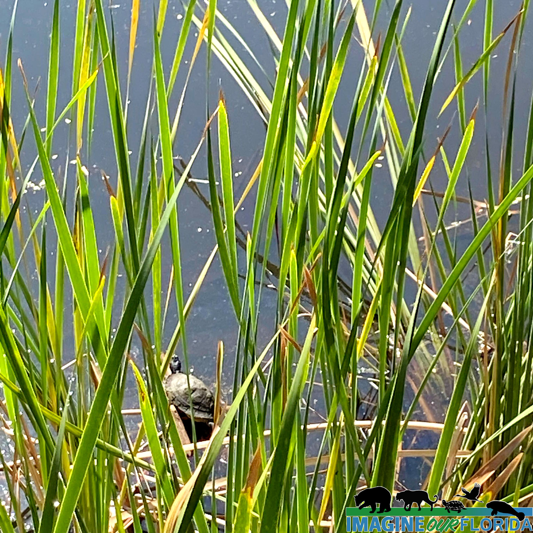
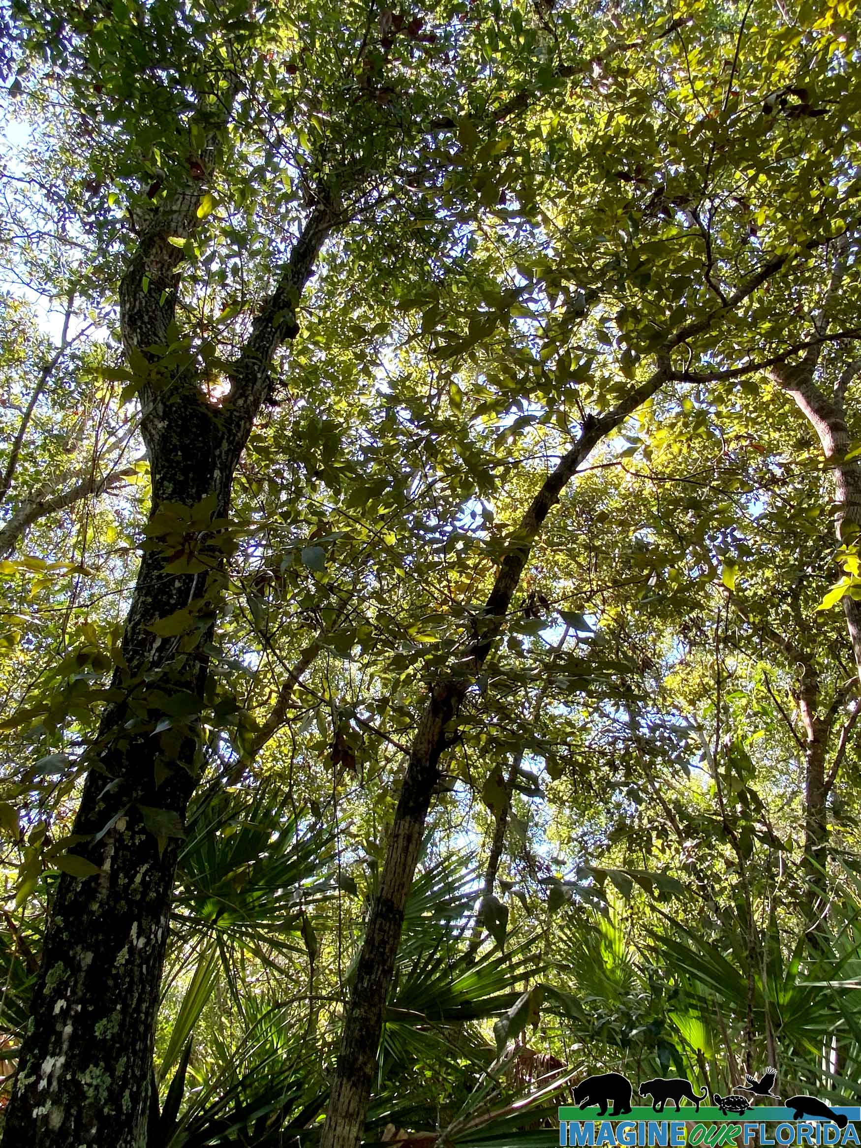
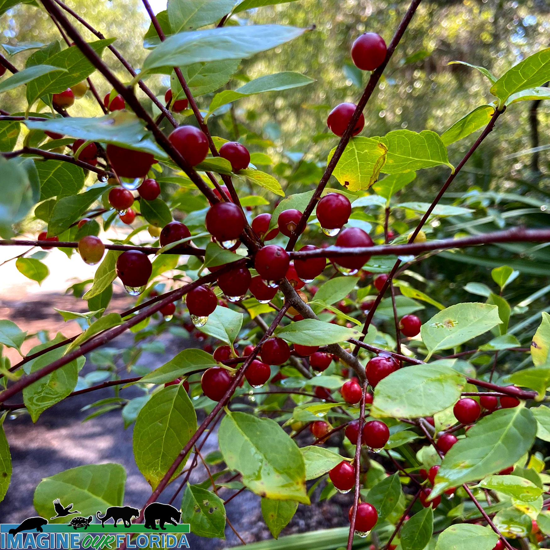
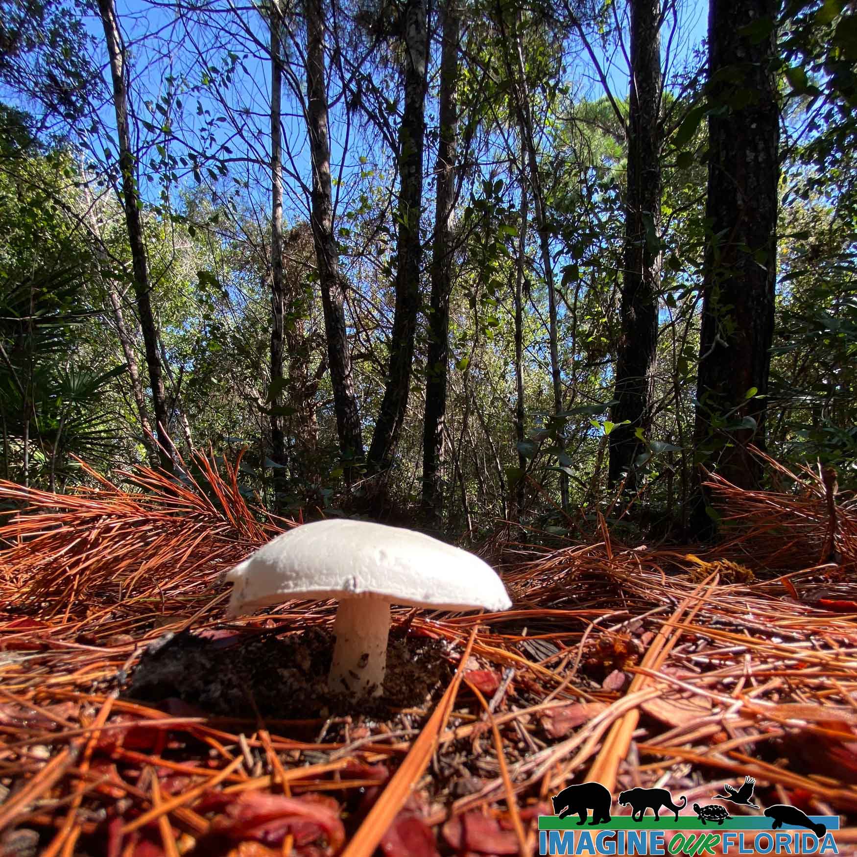
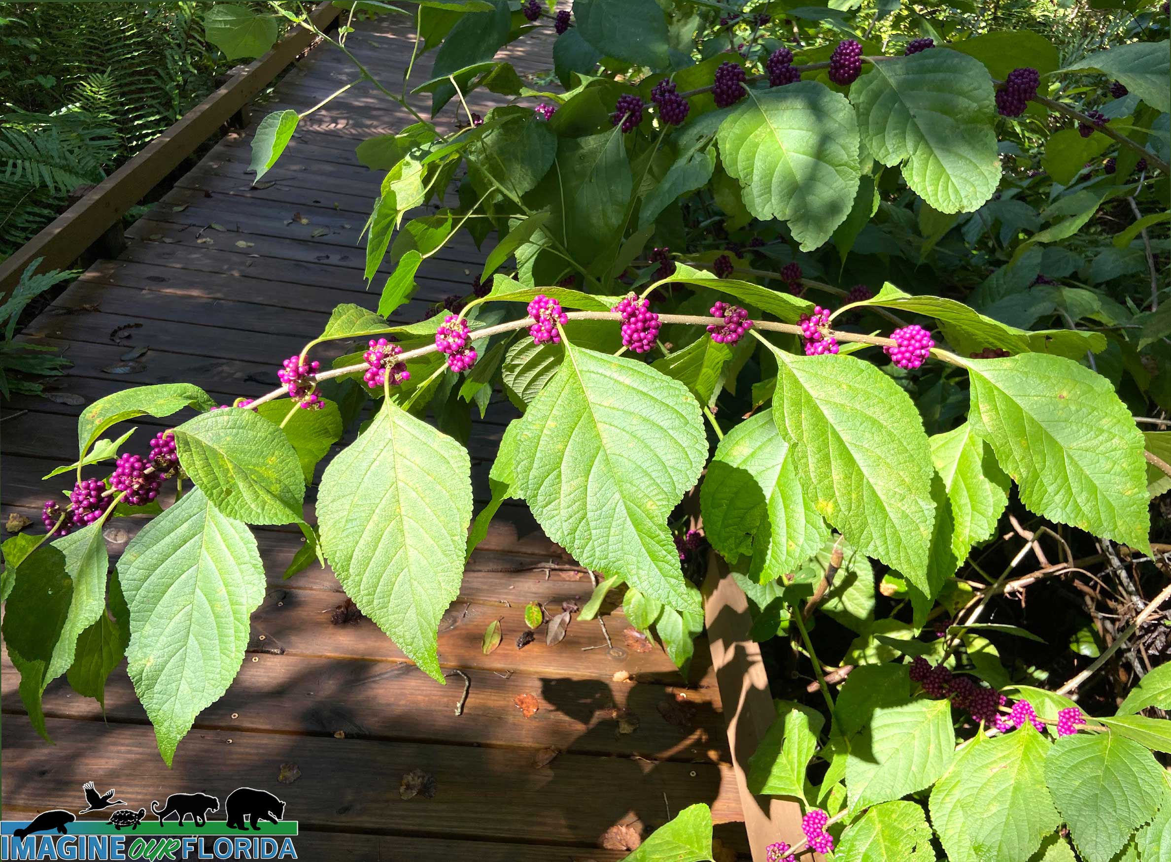
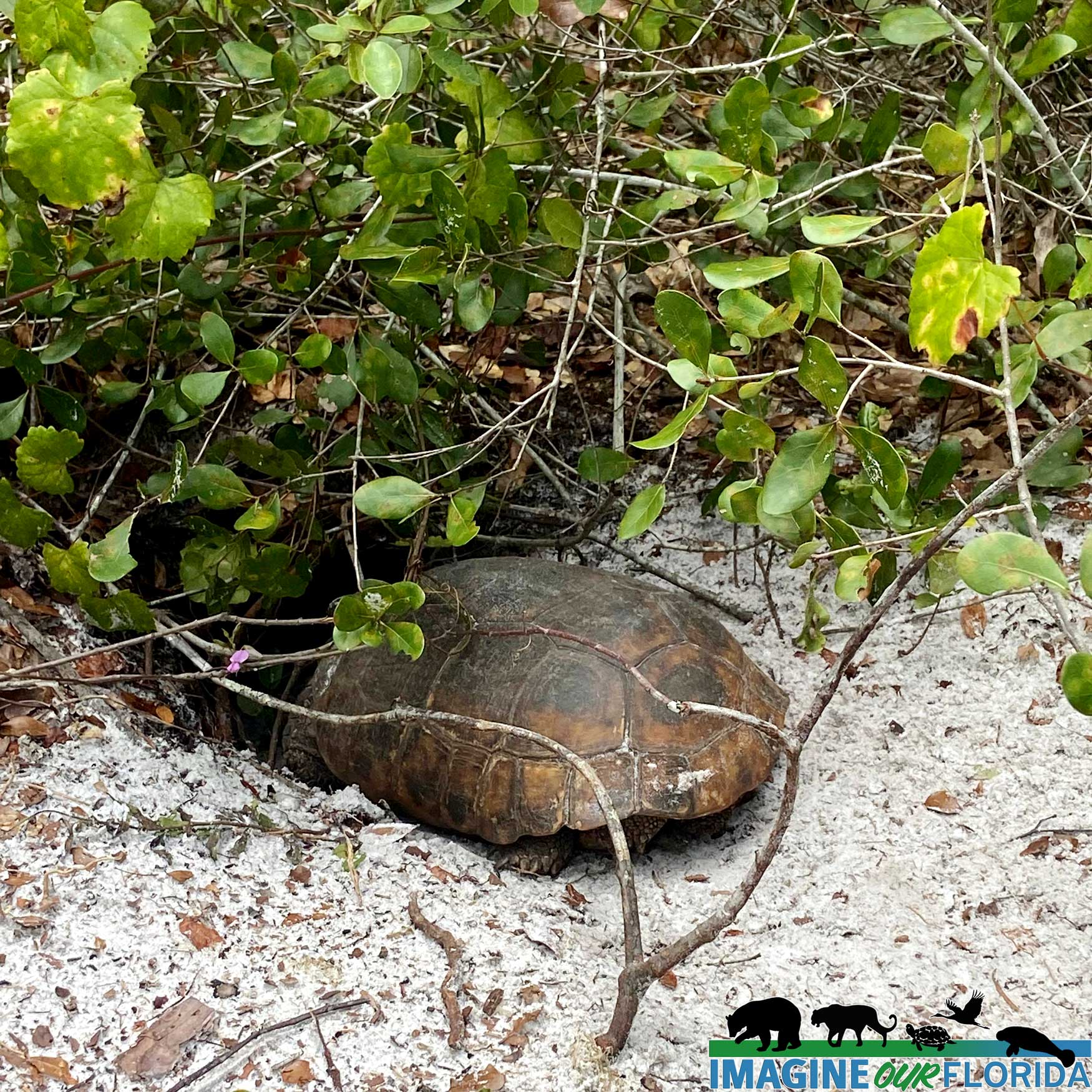
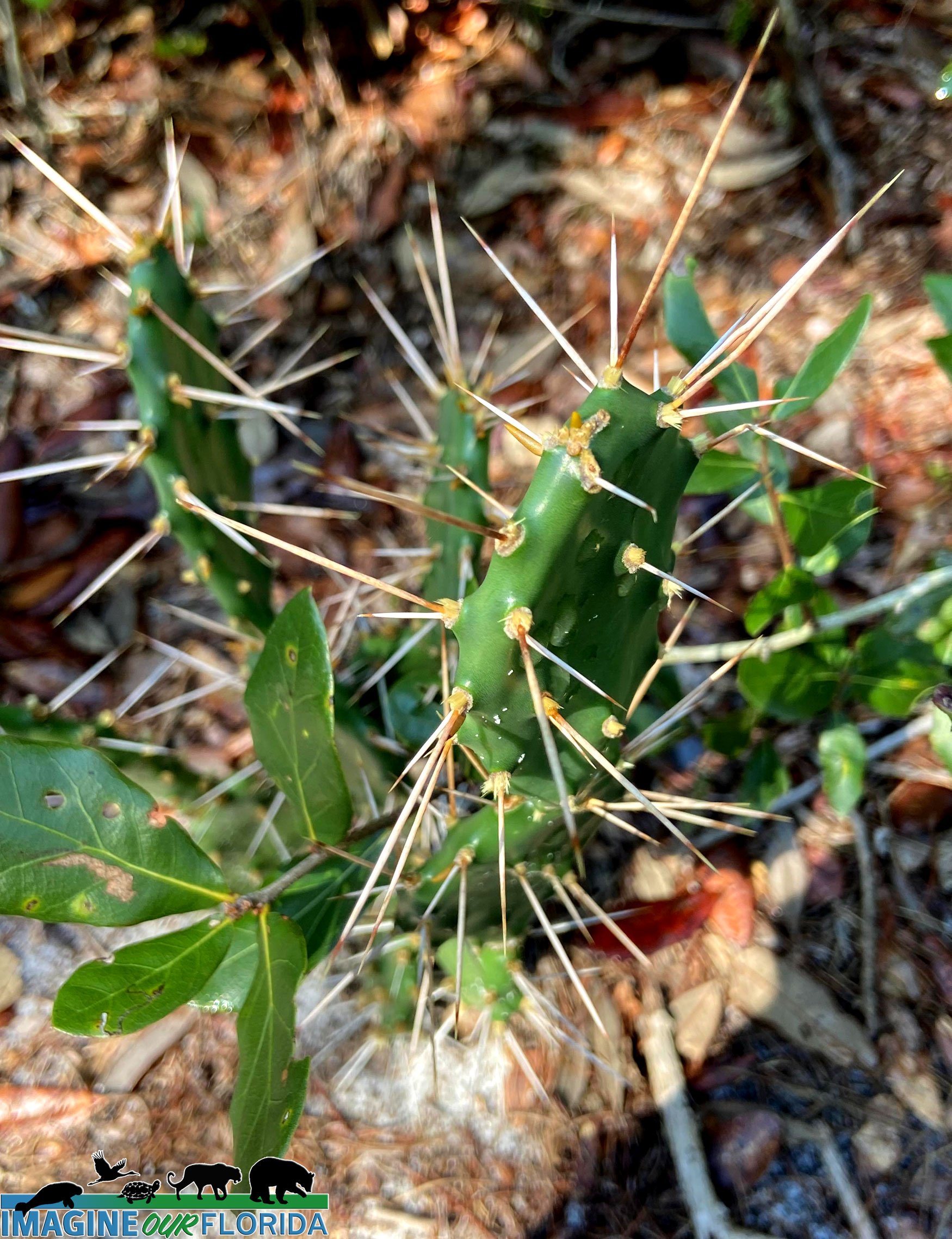
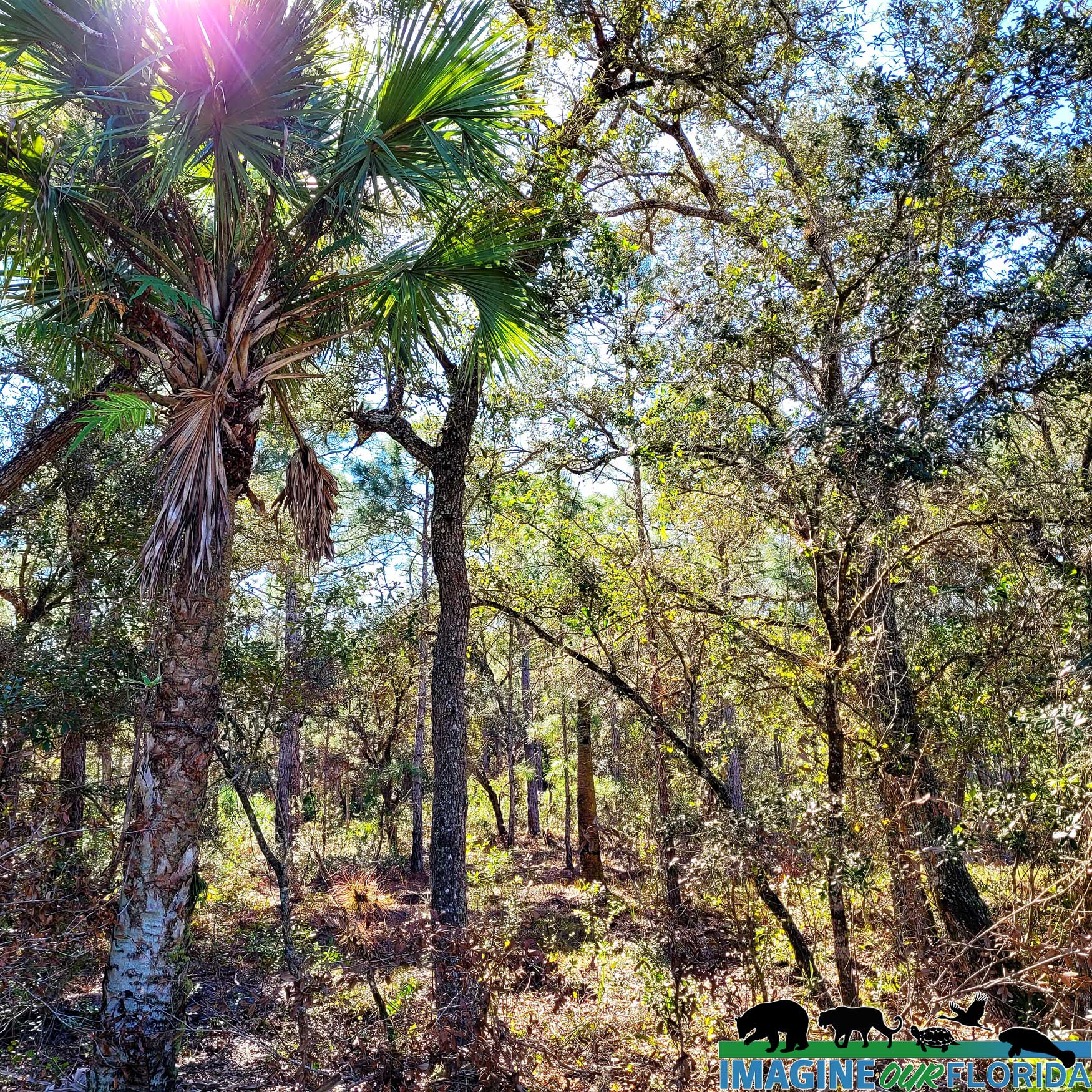
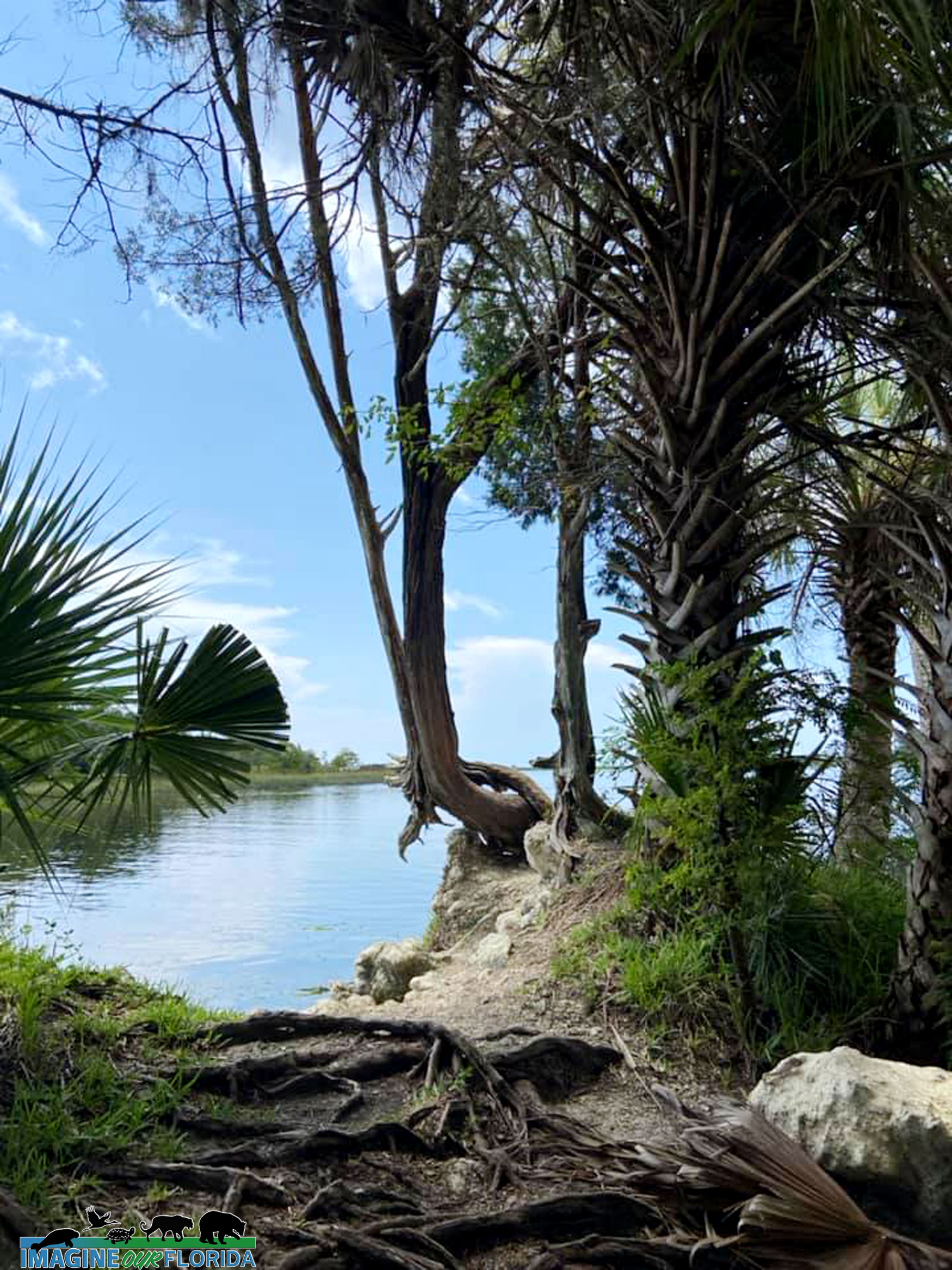
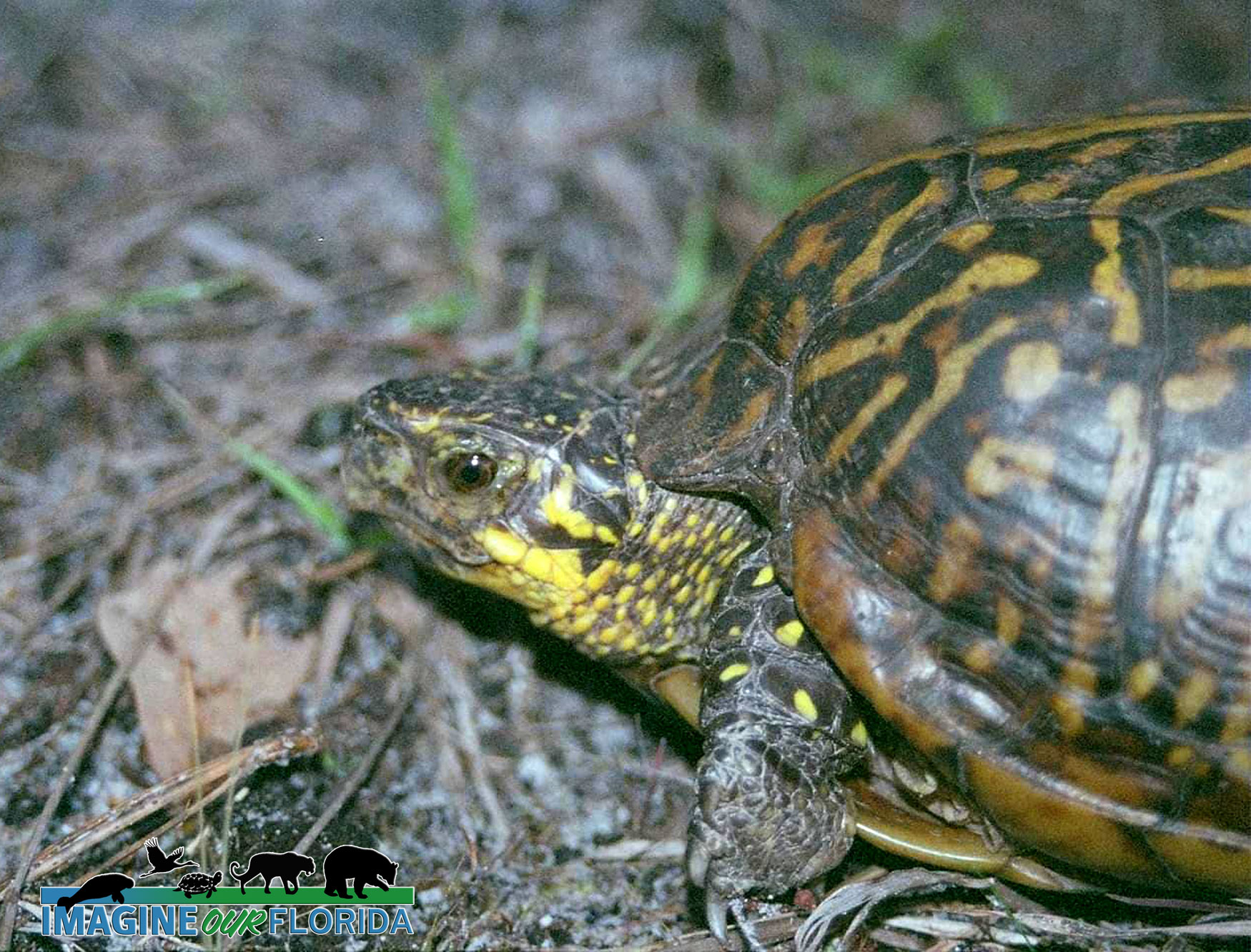
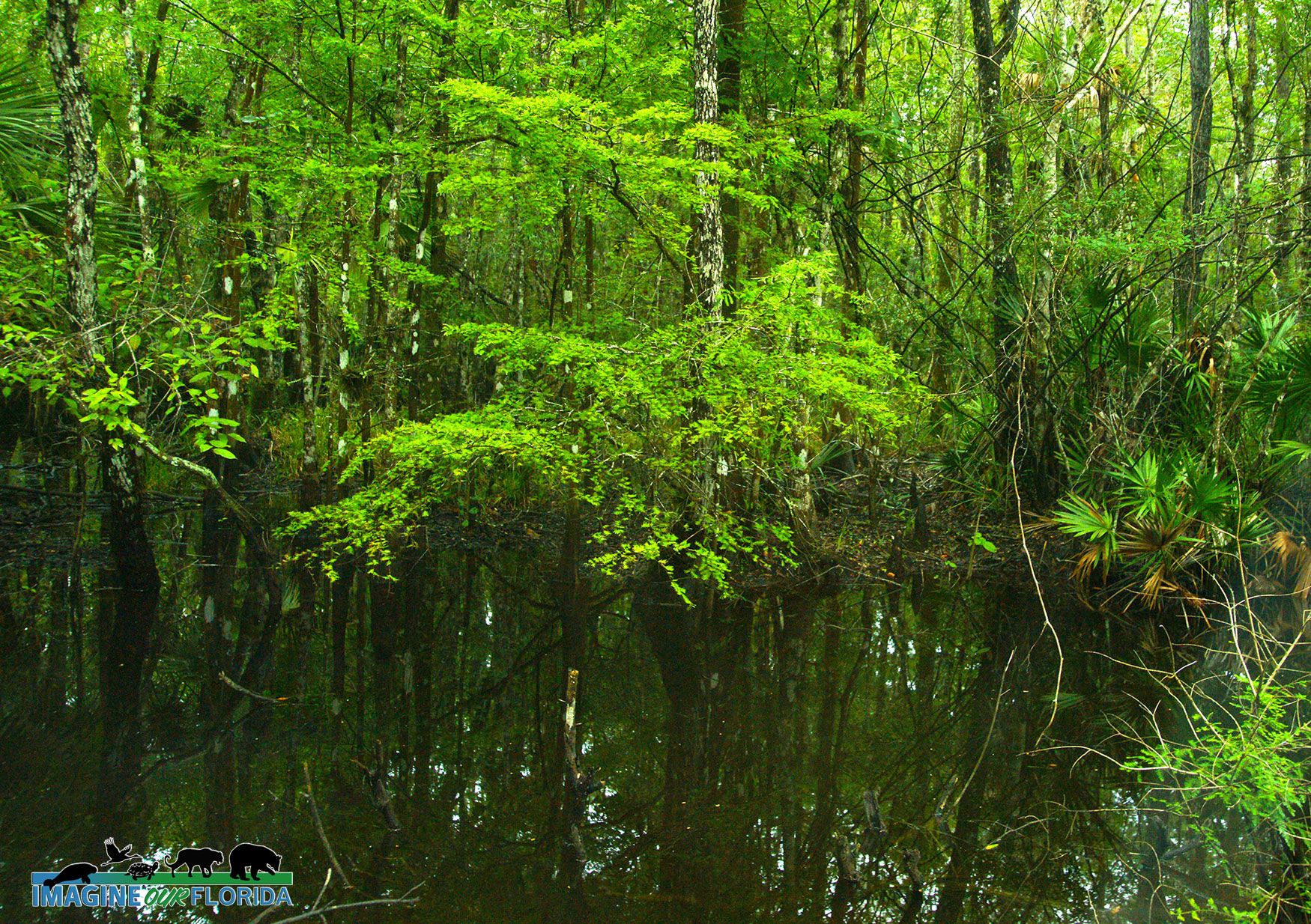
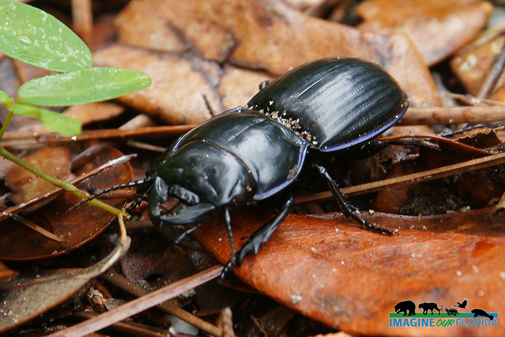
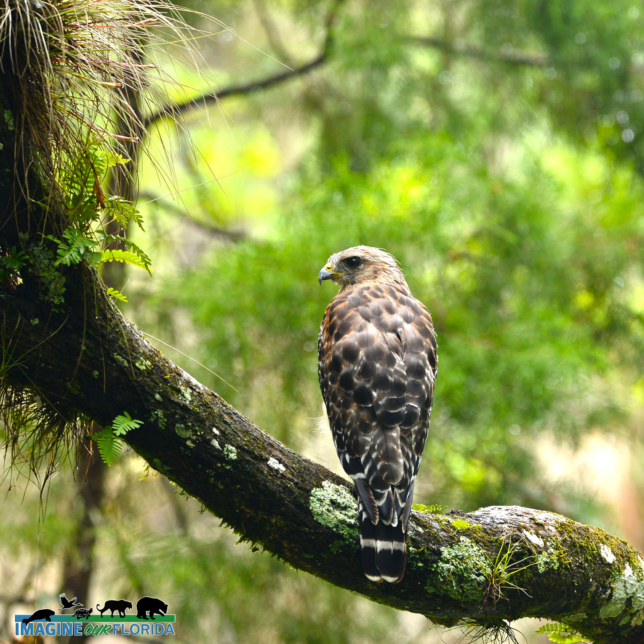
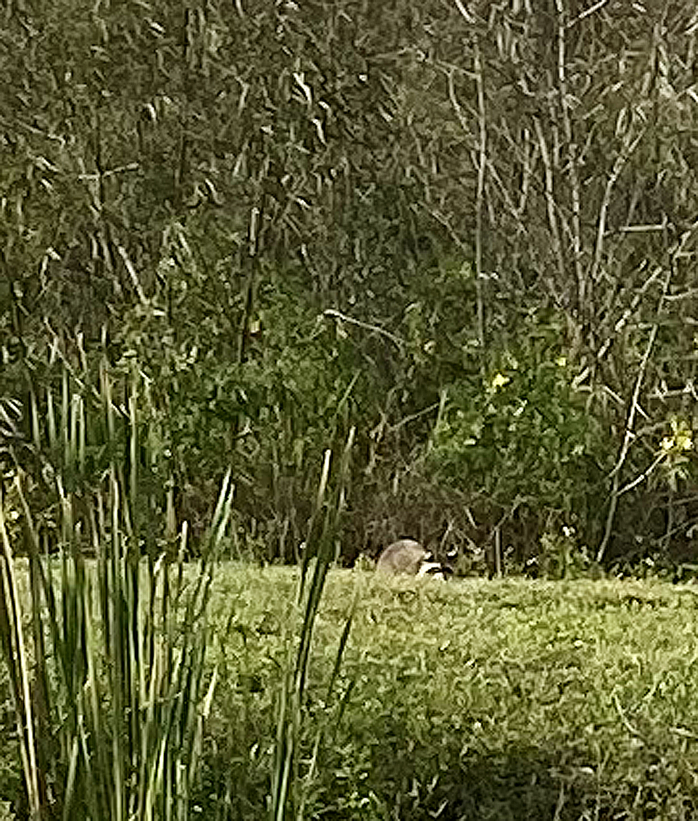
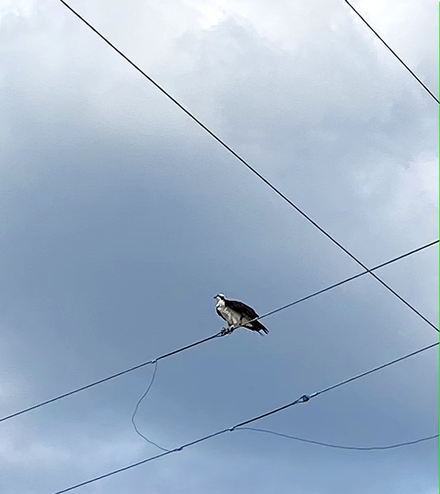
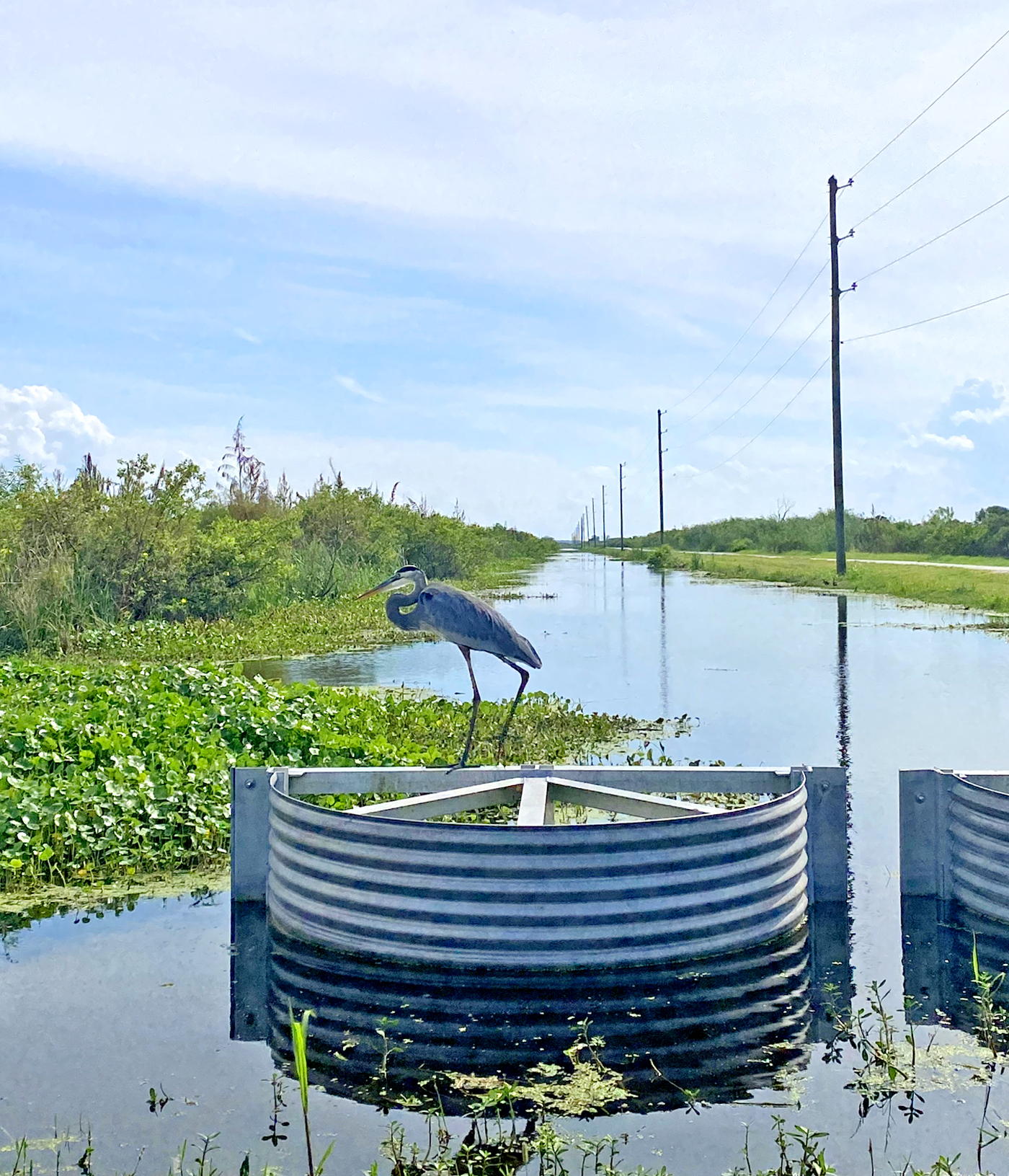
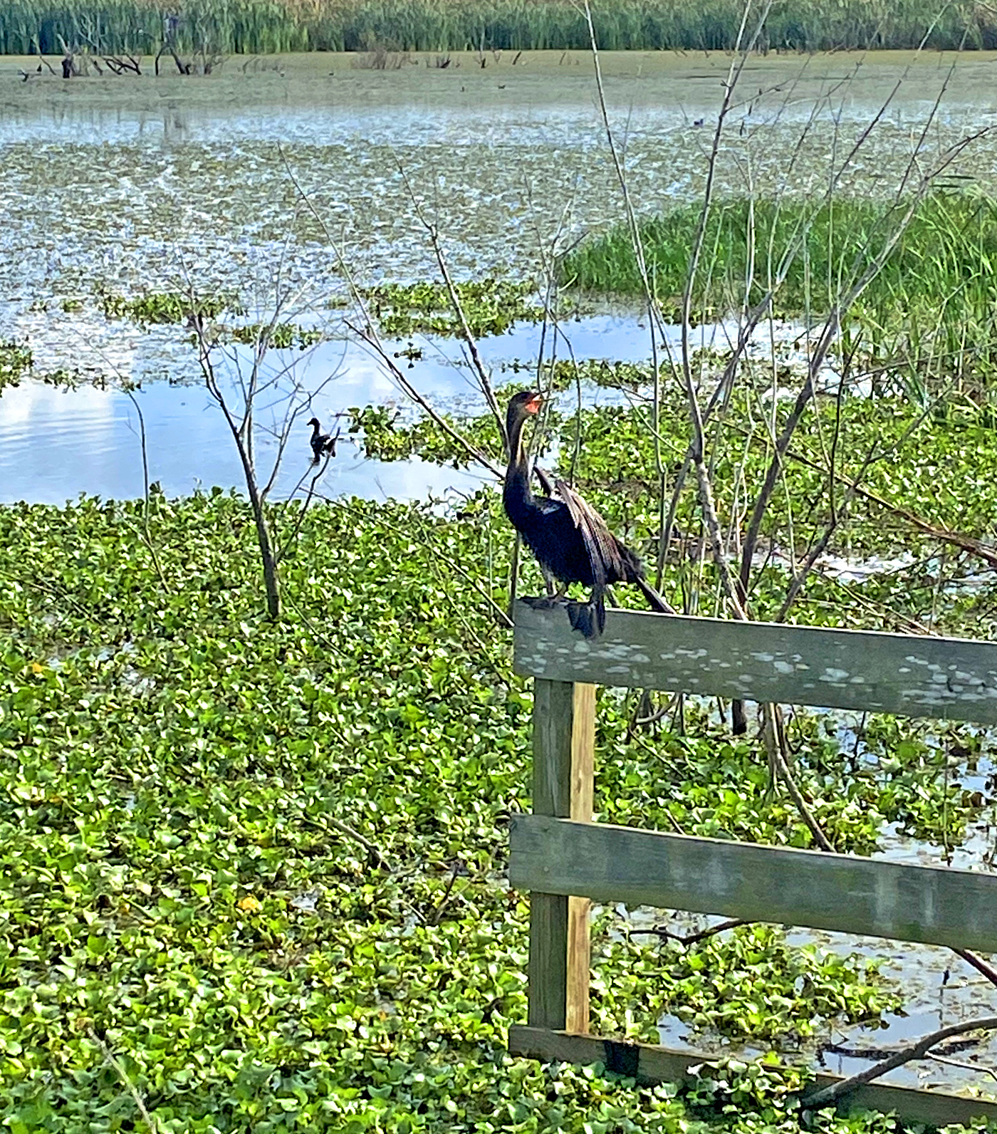
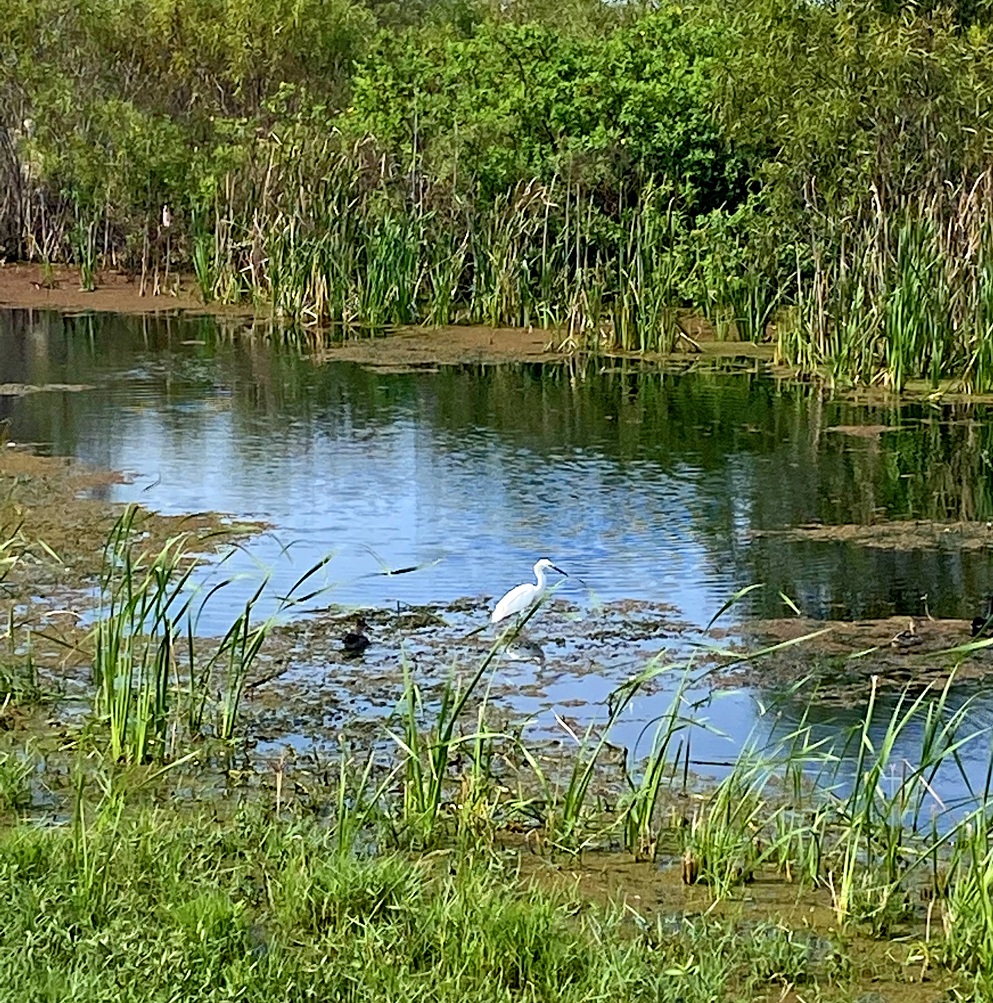
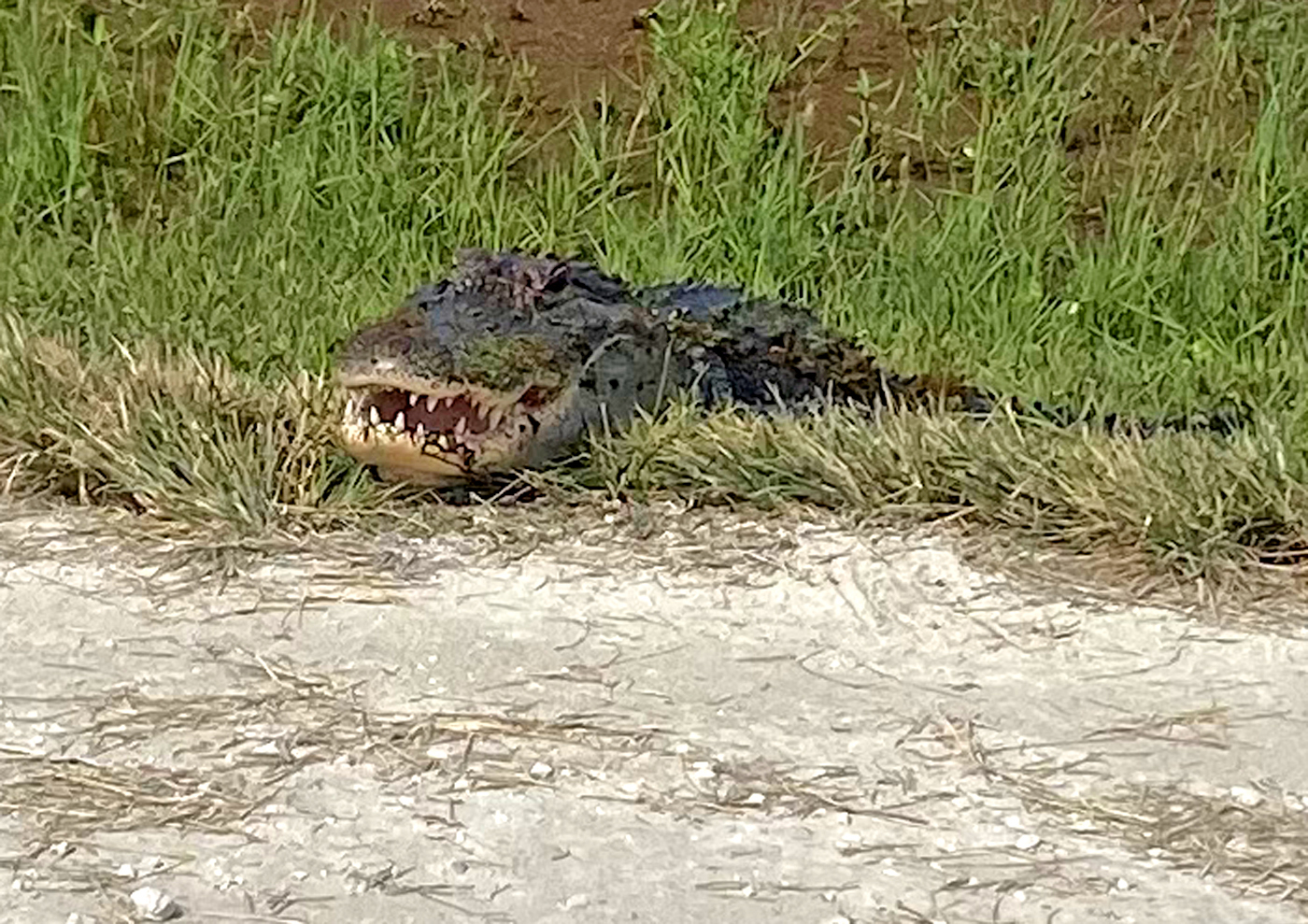
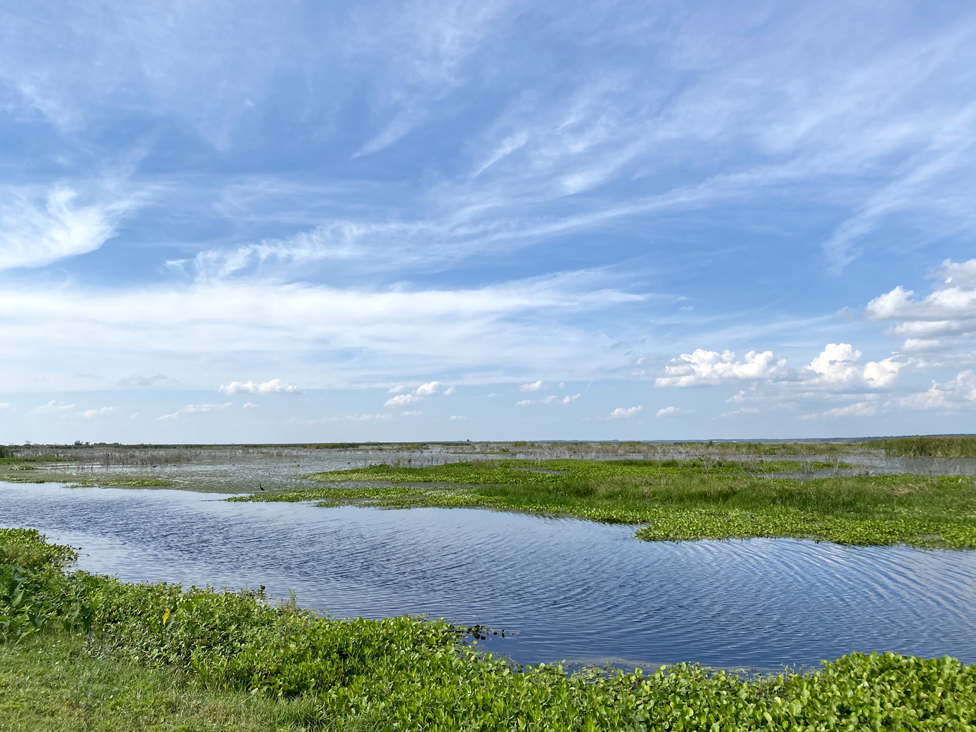
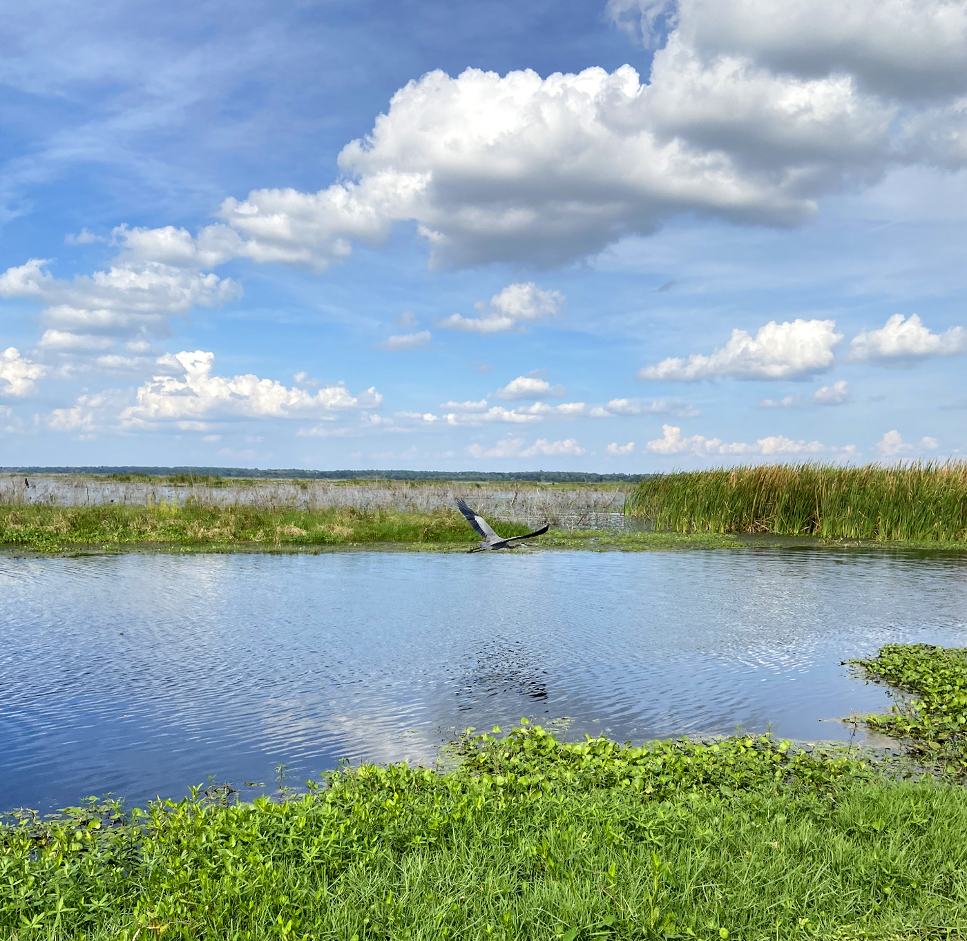
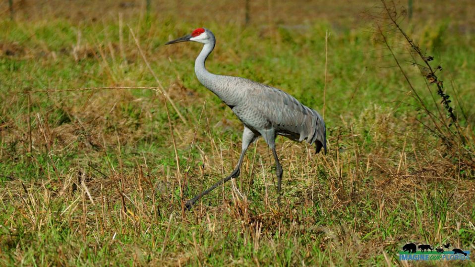
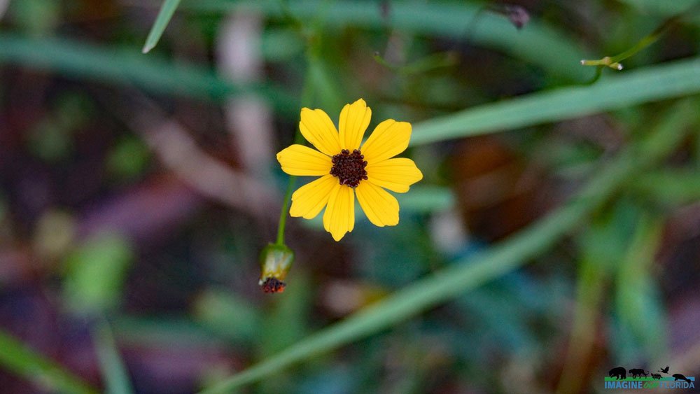
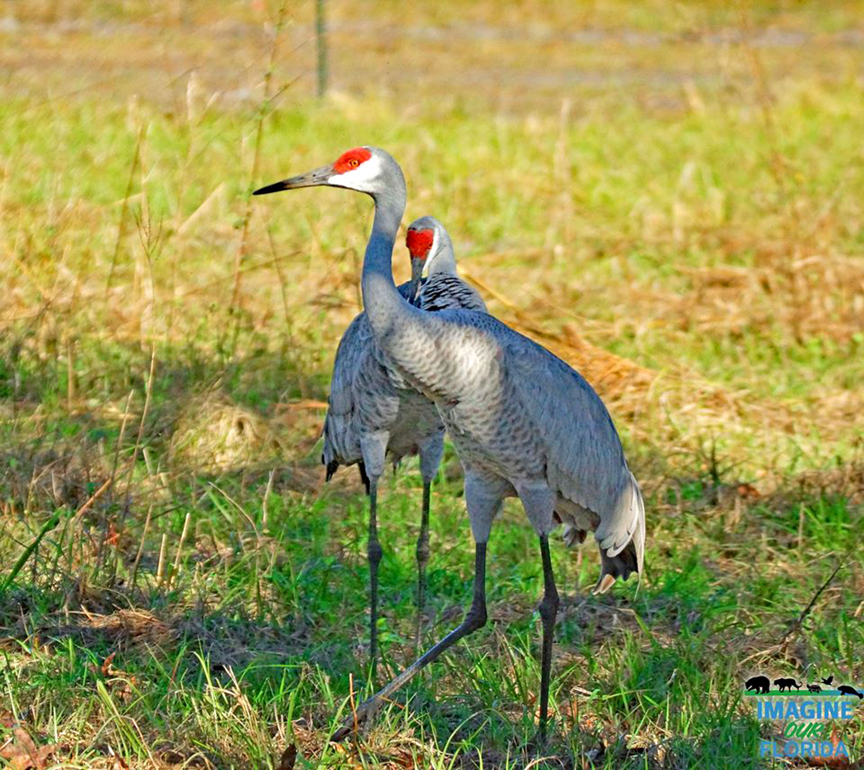
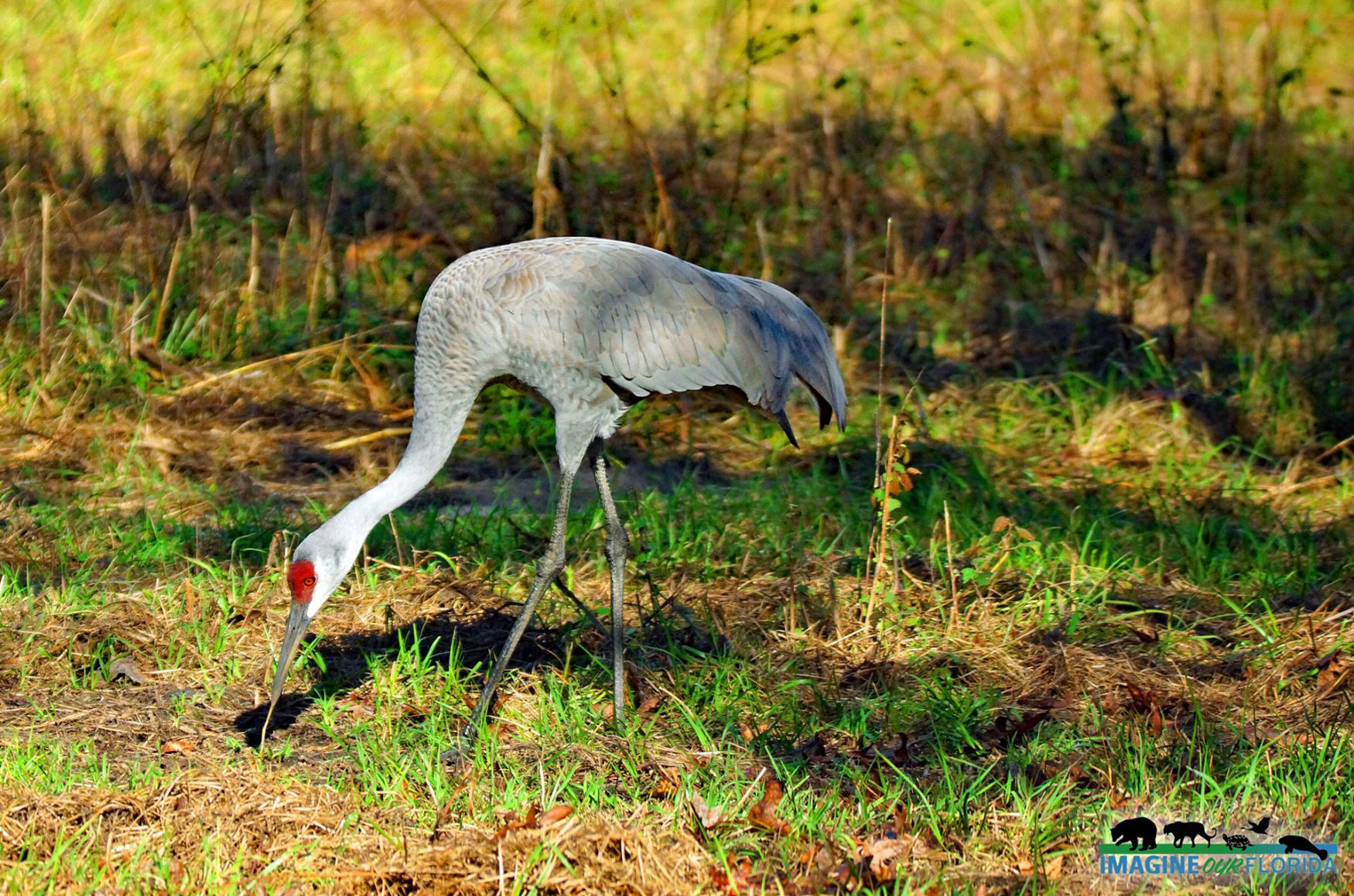
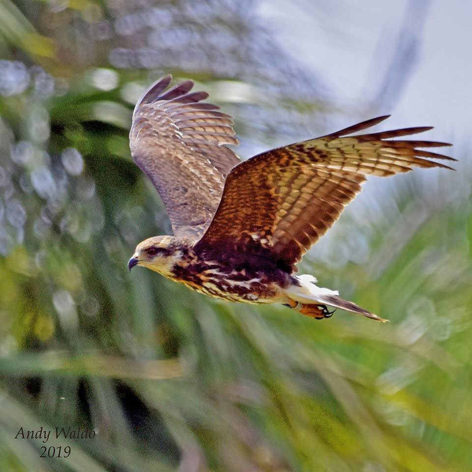
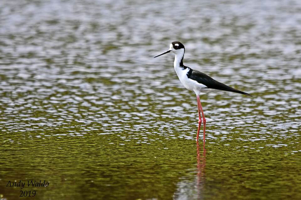
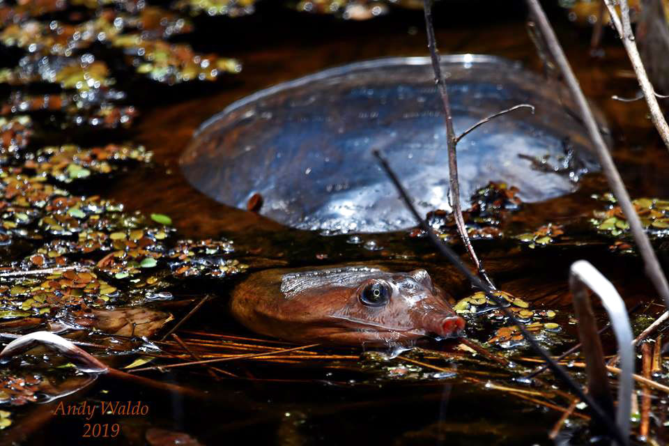
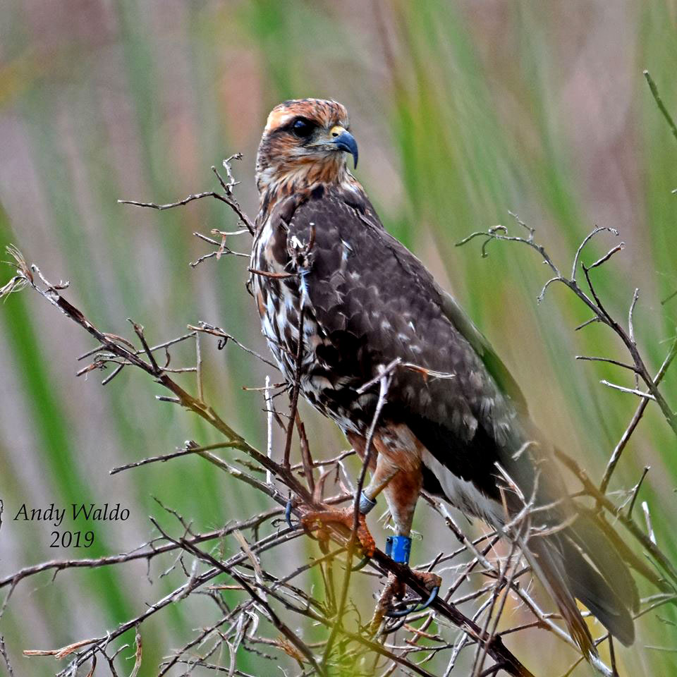
Because the Suwannee feeds the estuarine waters of the Gulf of Mexico, it once again supports habitat for several species including native and migratory birds, otters, fish, and more. Threatened gopher tortoises dig their burrows in the longleaf pine forests while finding food among the wiregrass. Alligators, fiddler crabs, salamanders, and more have once again made their homes in the swamps. Eagles, minks, box turtles, and the endangered salt marsh vole thrive on their native lands. Deer, coyotes, foxes, bobcats, and bears find an abundance of food, ample areas to frolic, and safe places to sleep in their natural habitat.
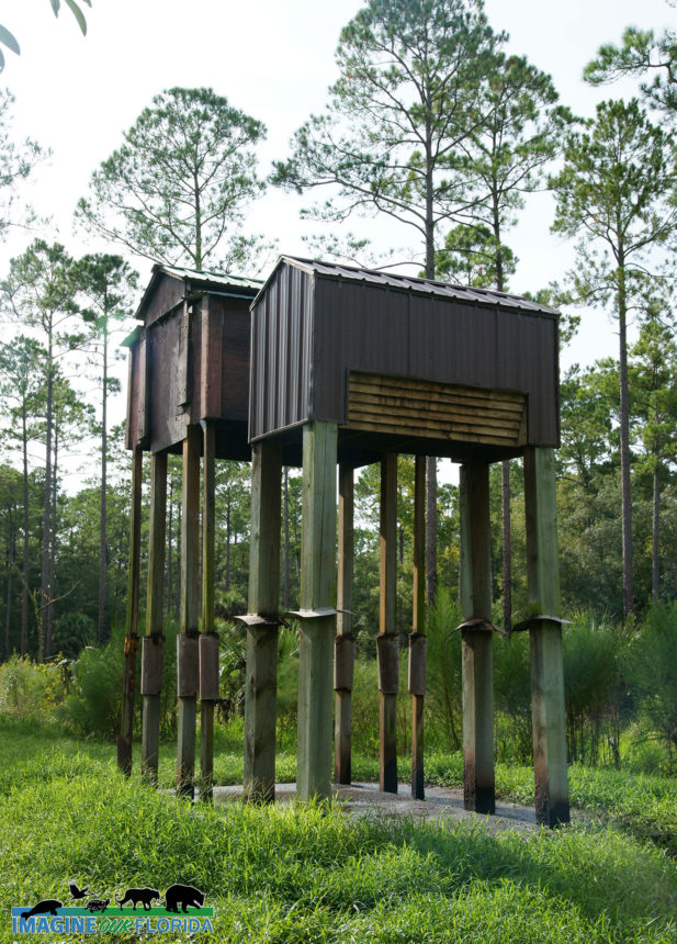
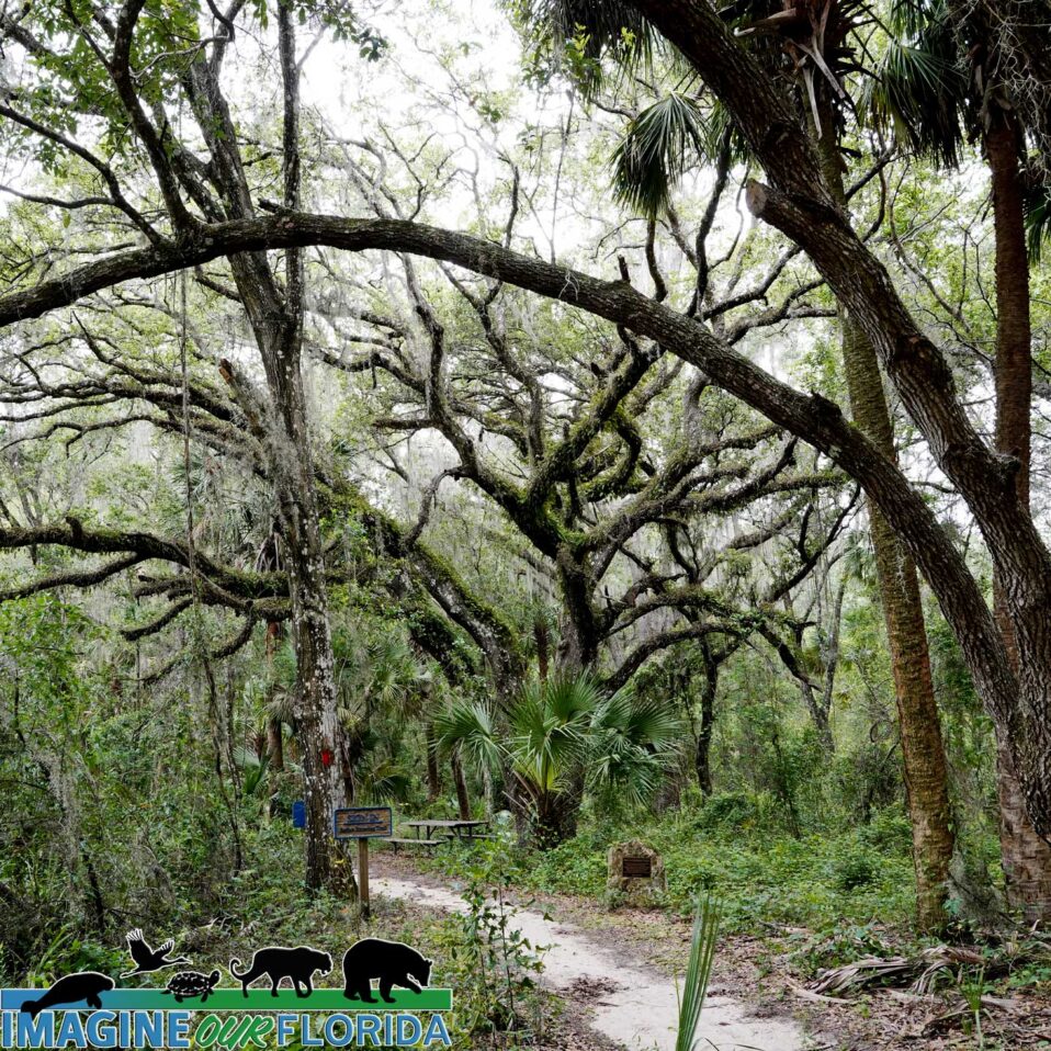
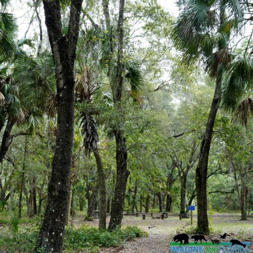
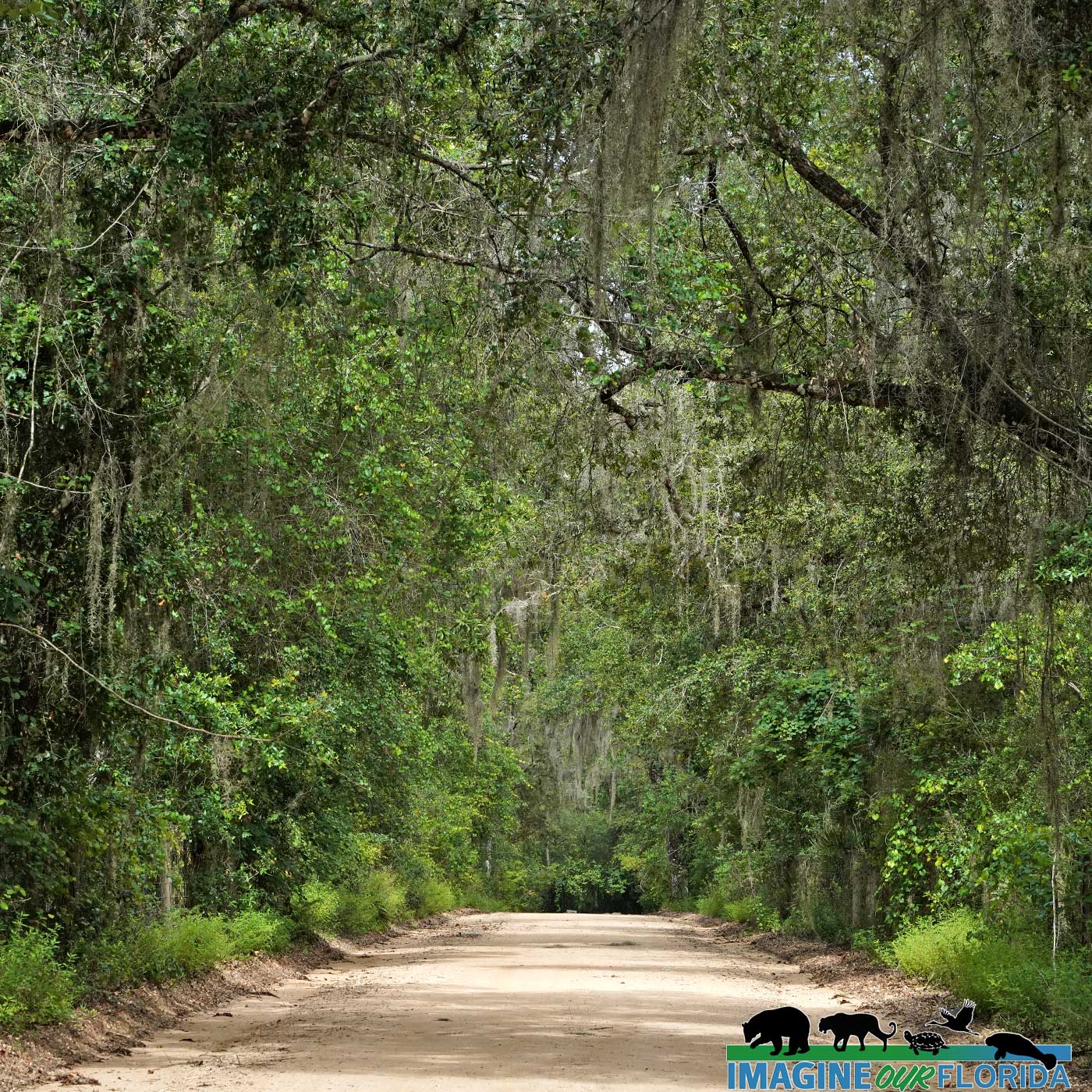
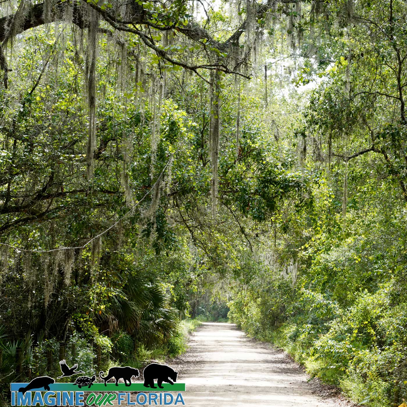
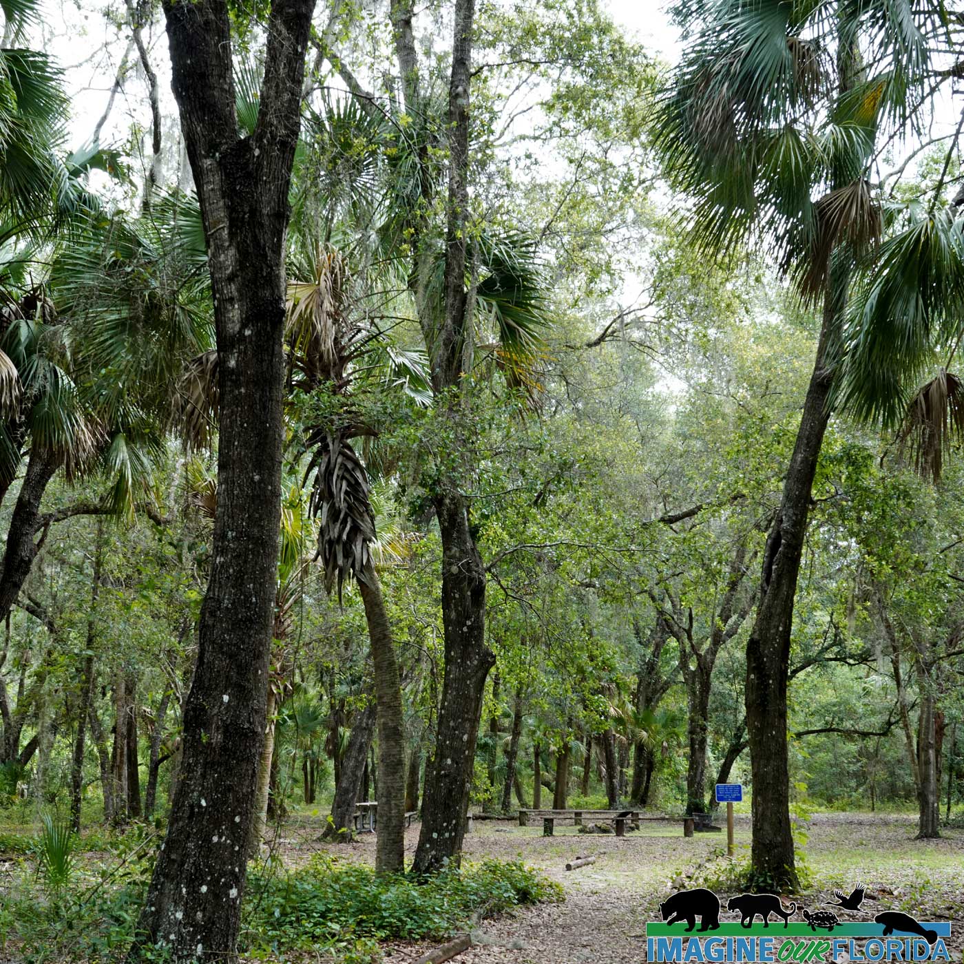
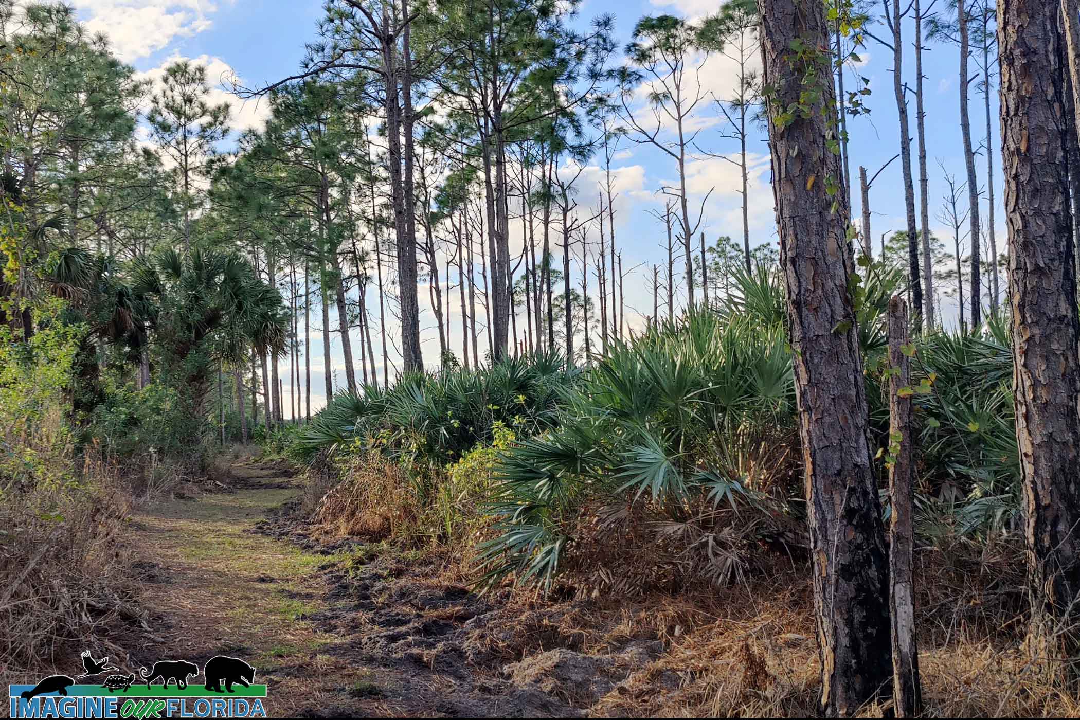
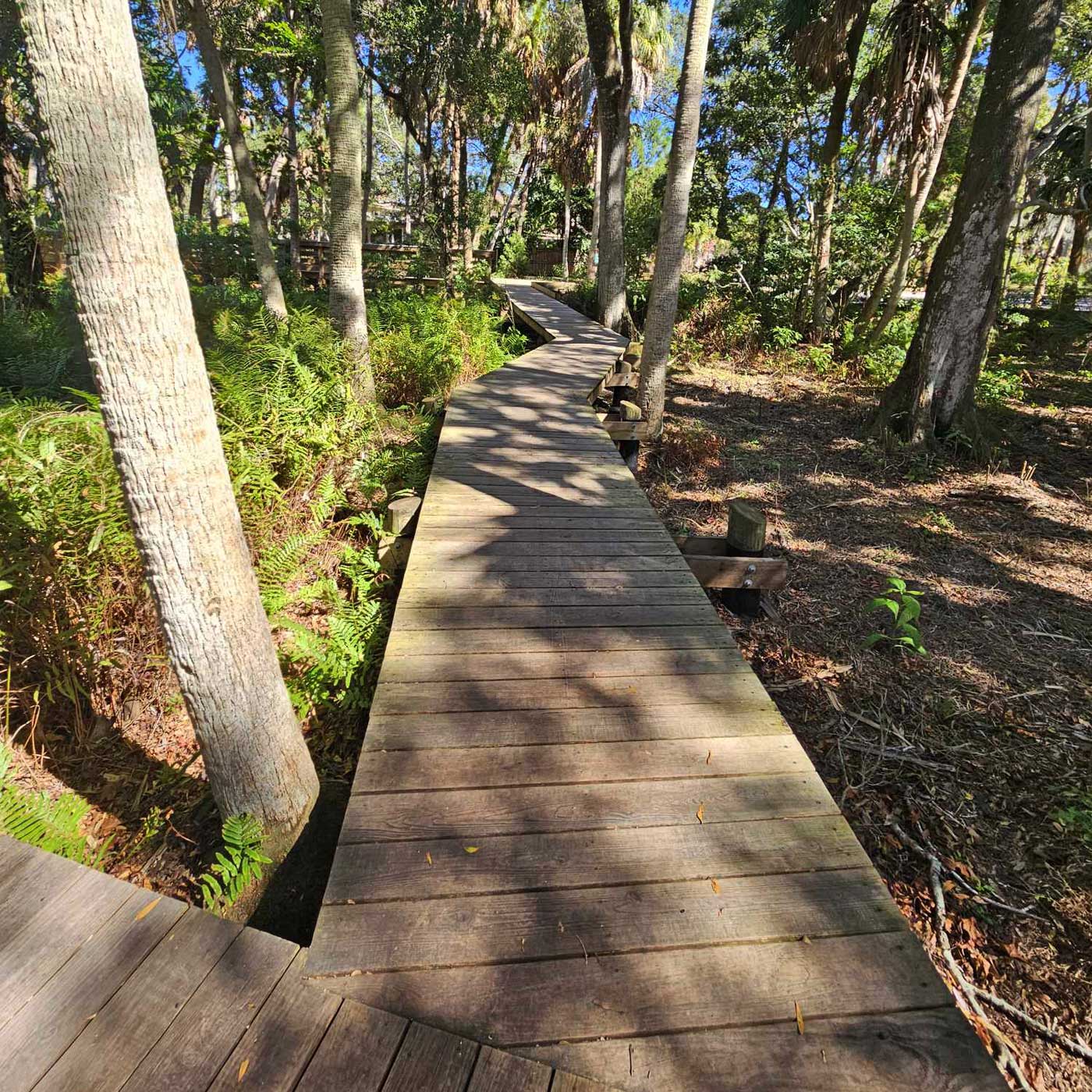
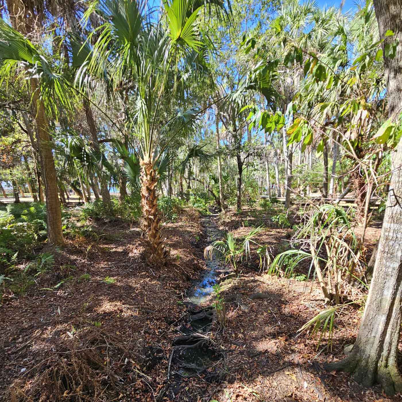
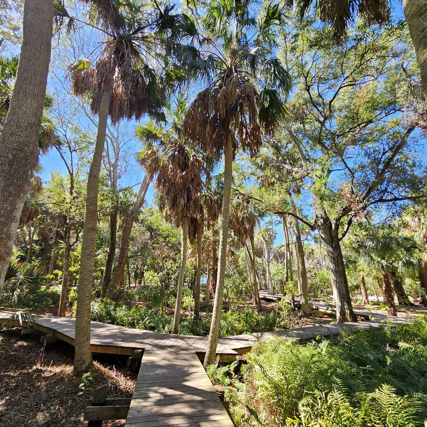
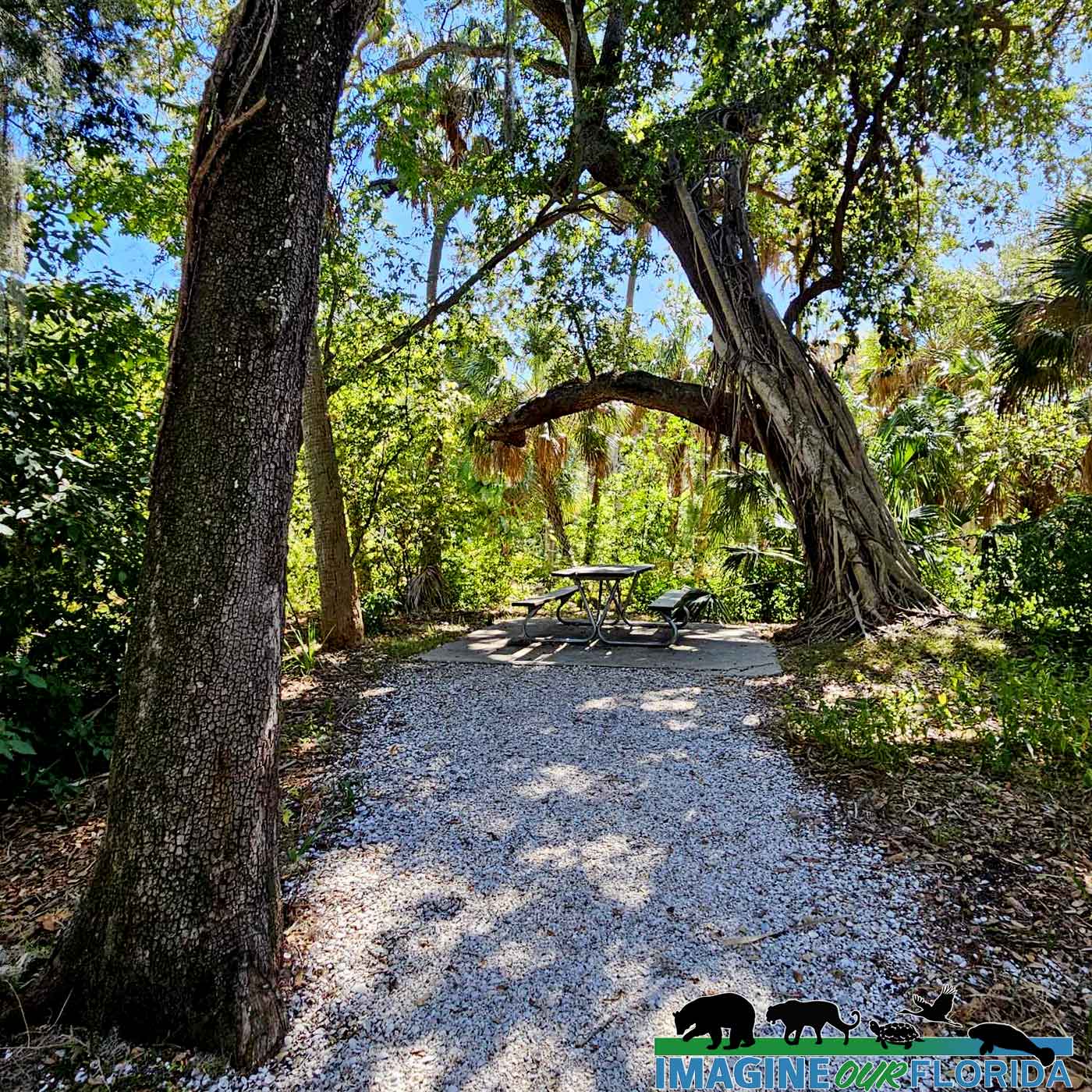
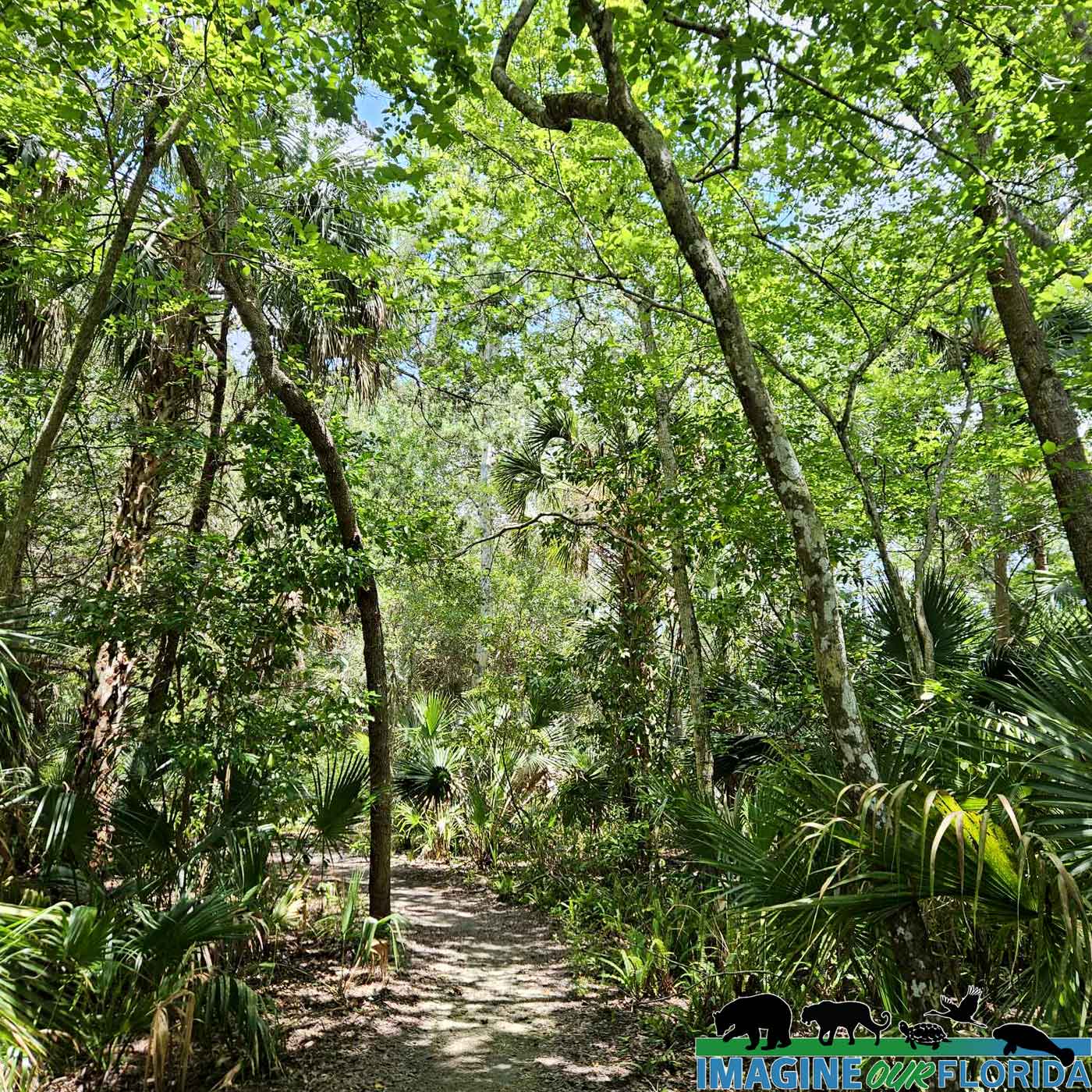
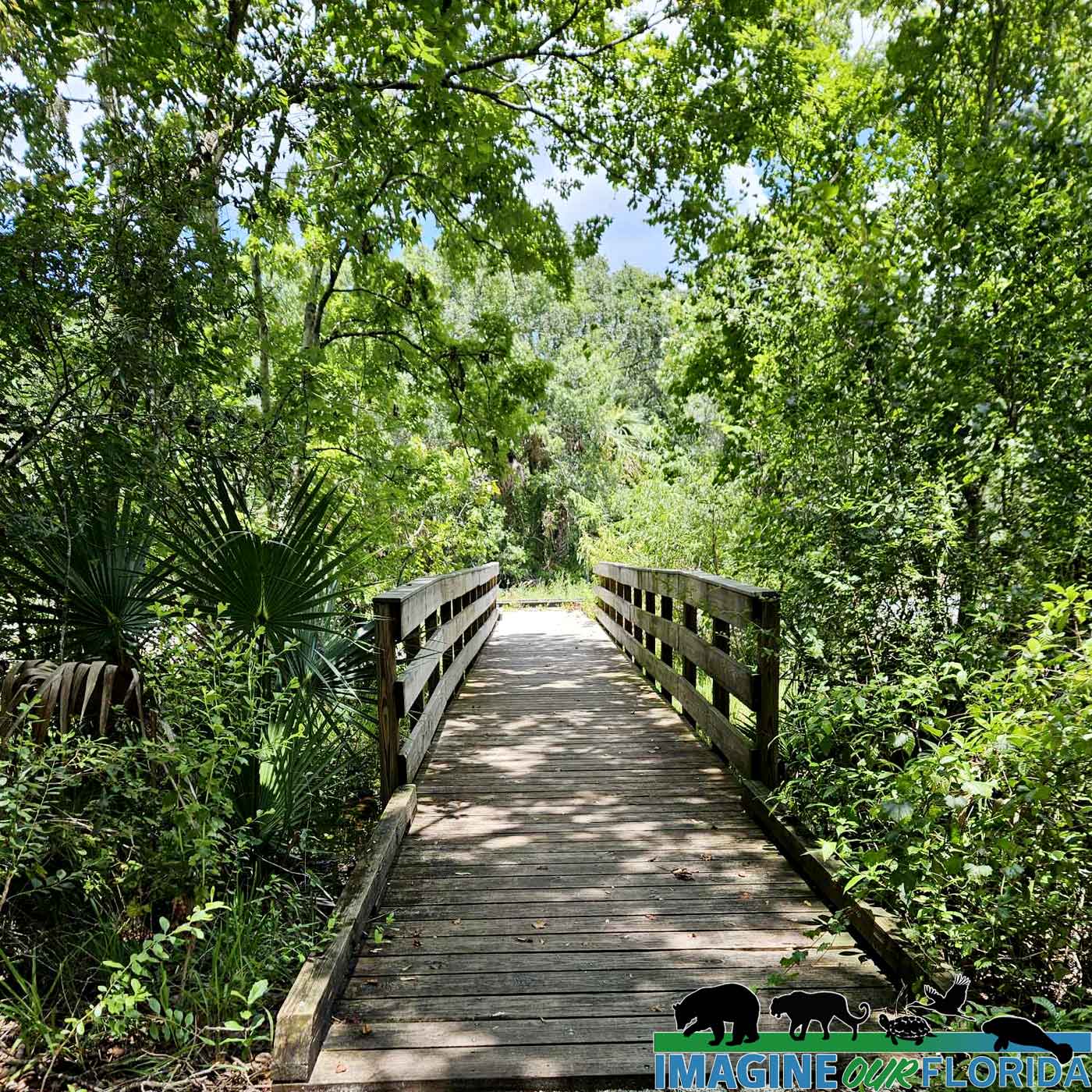
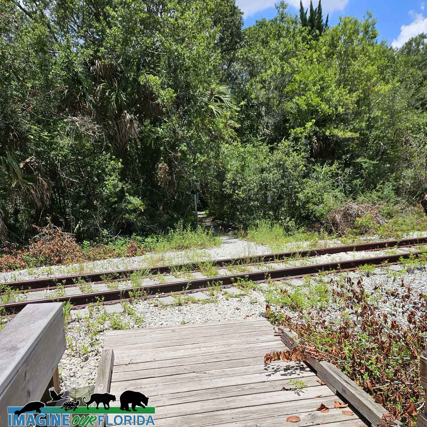
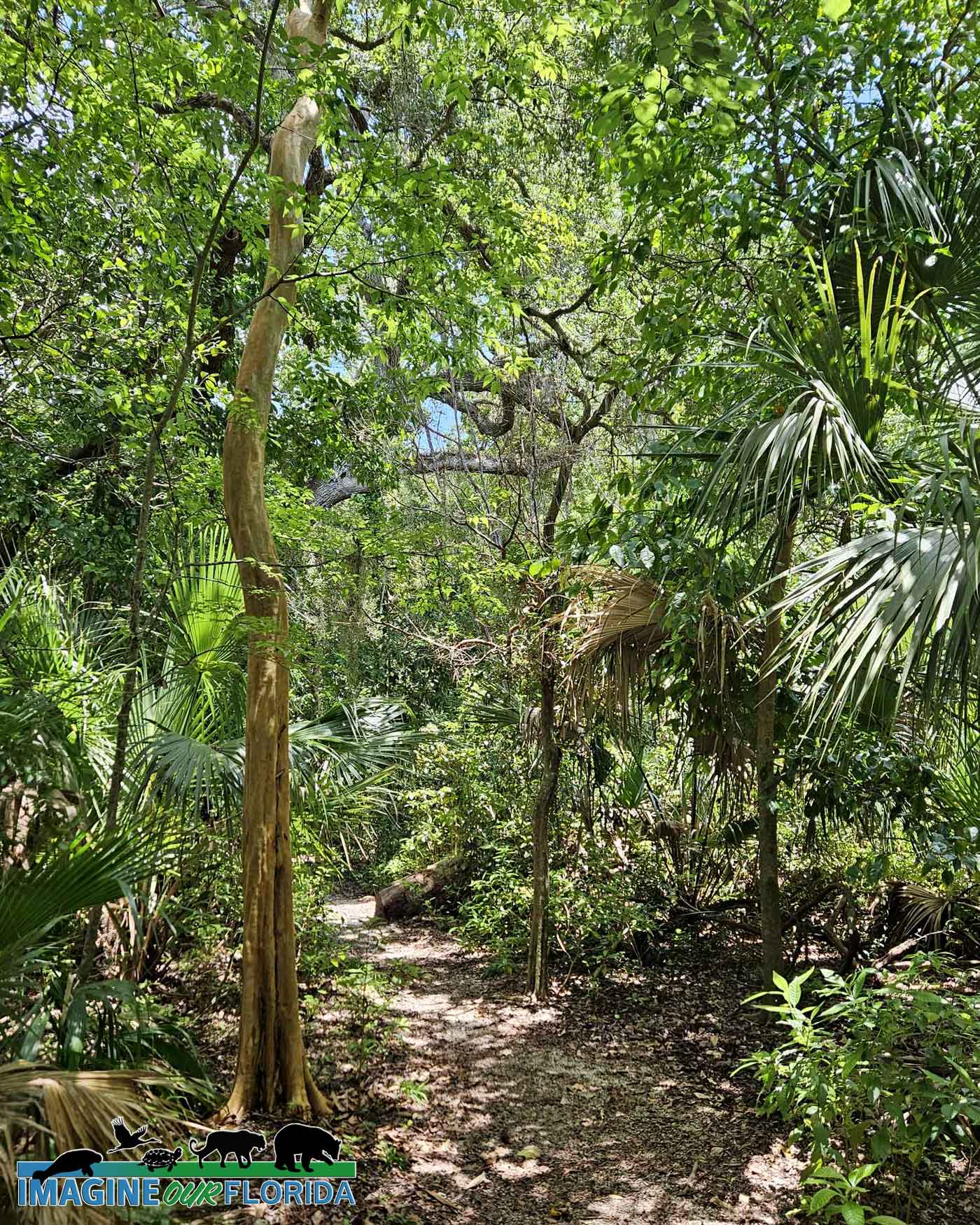
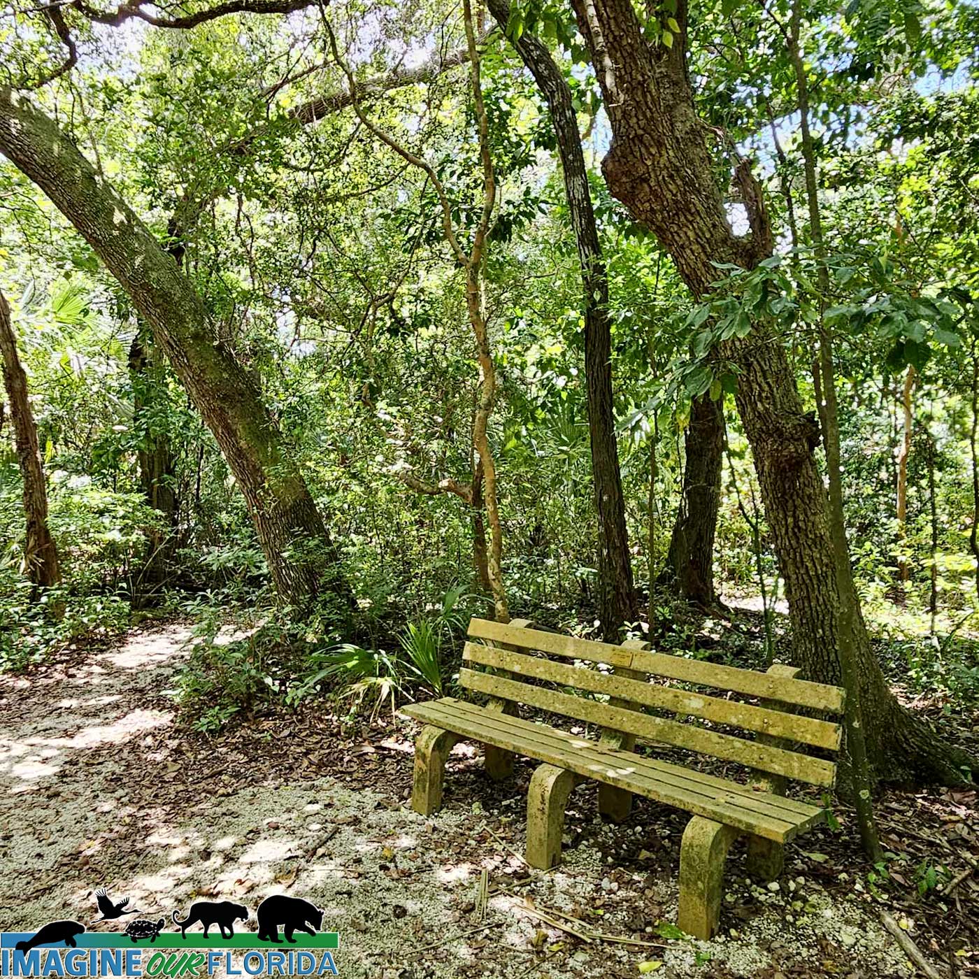
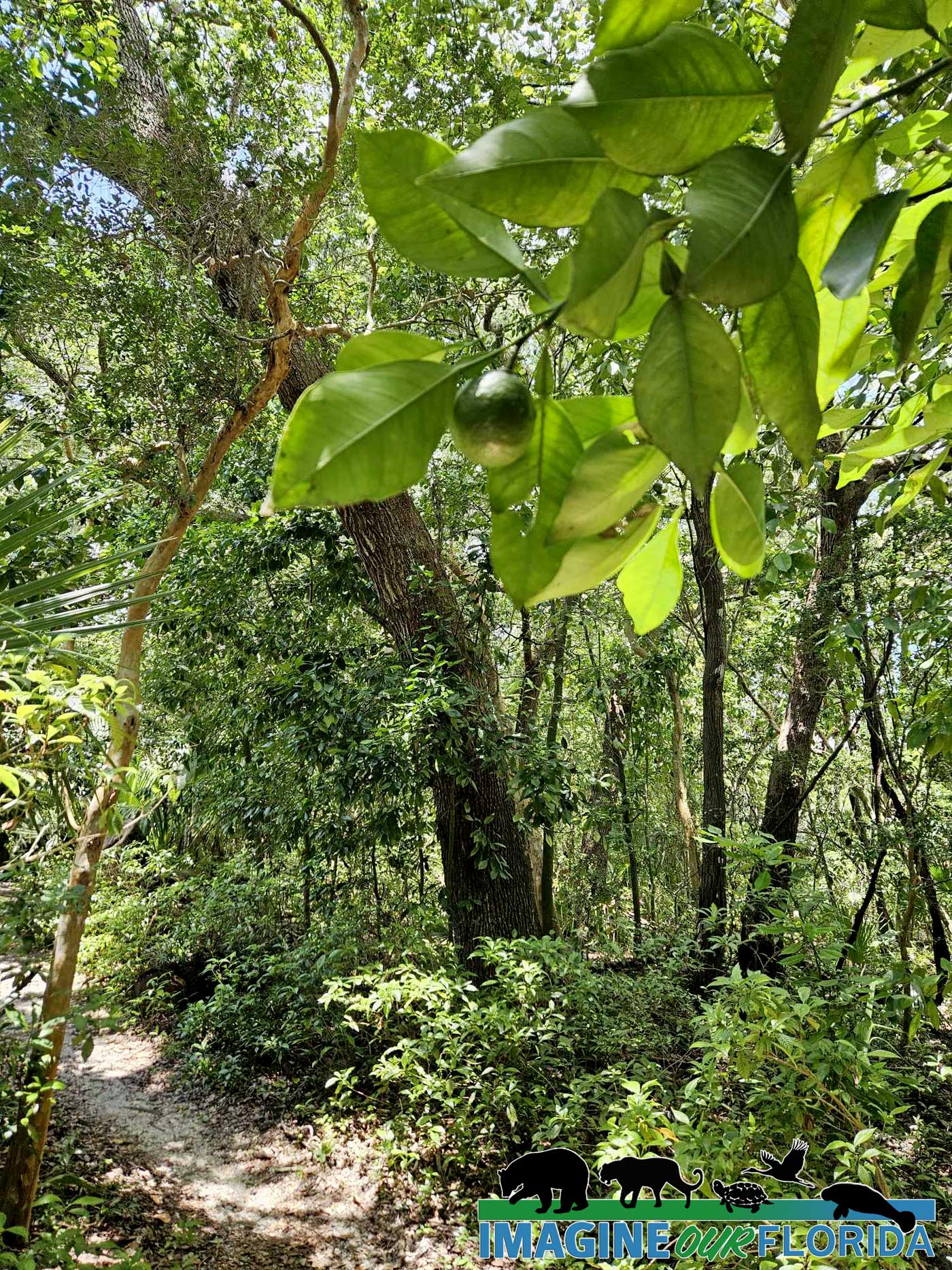
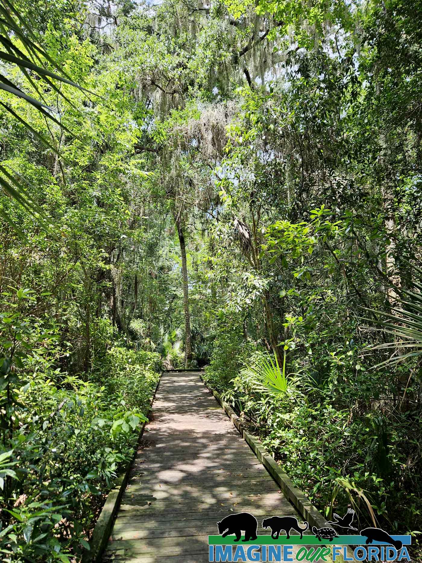
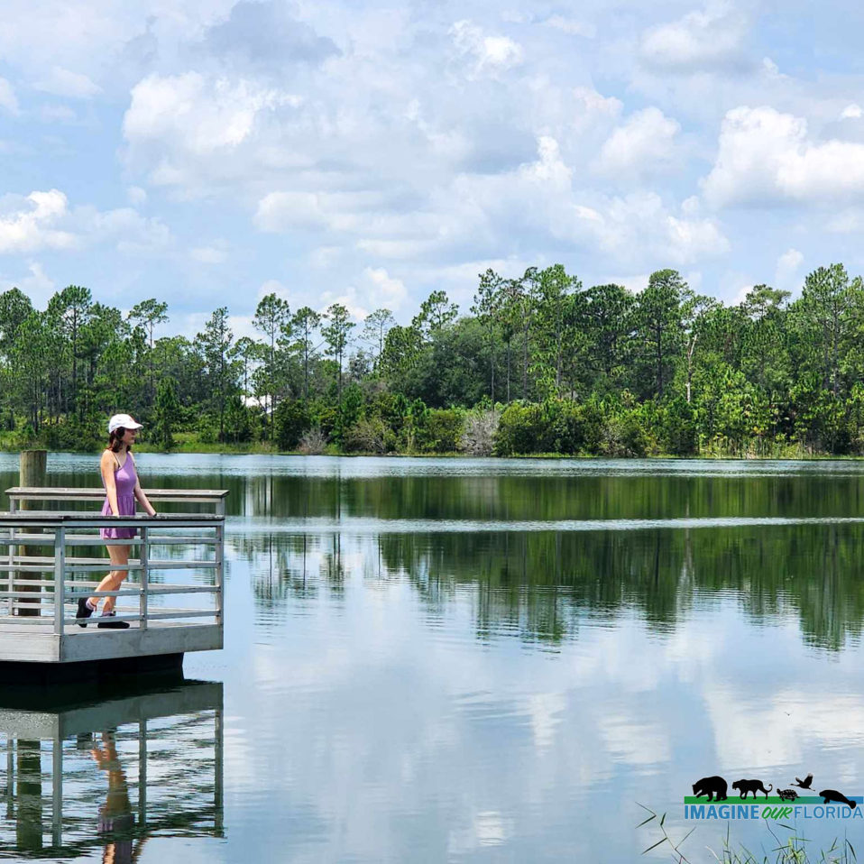
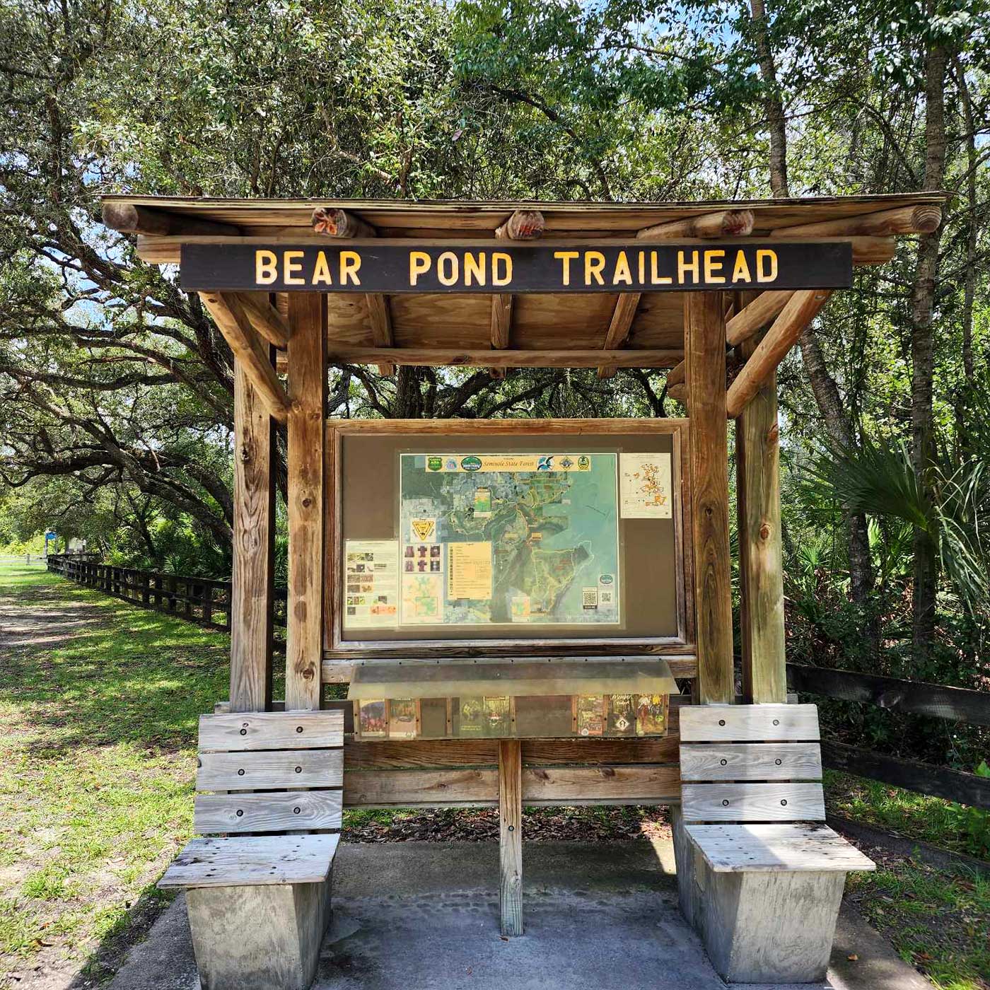
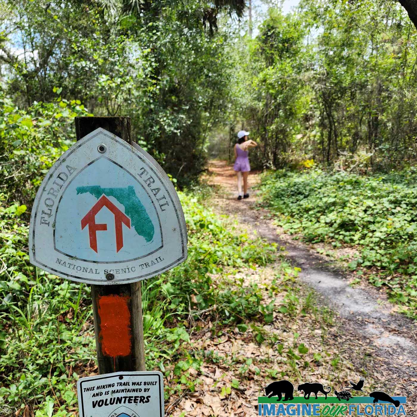
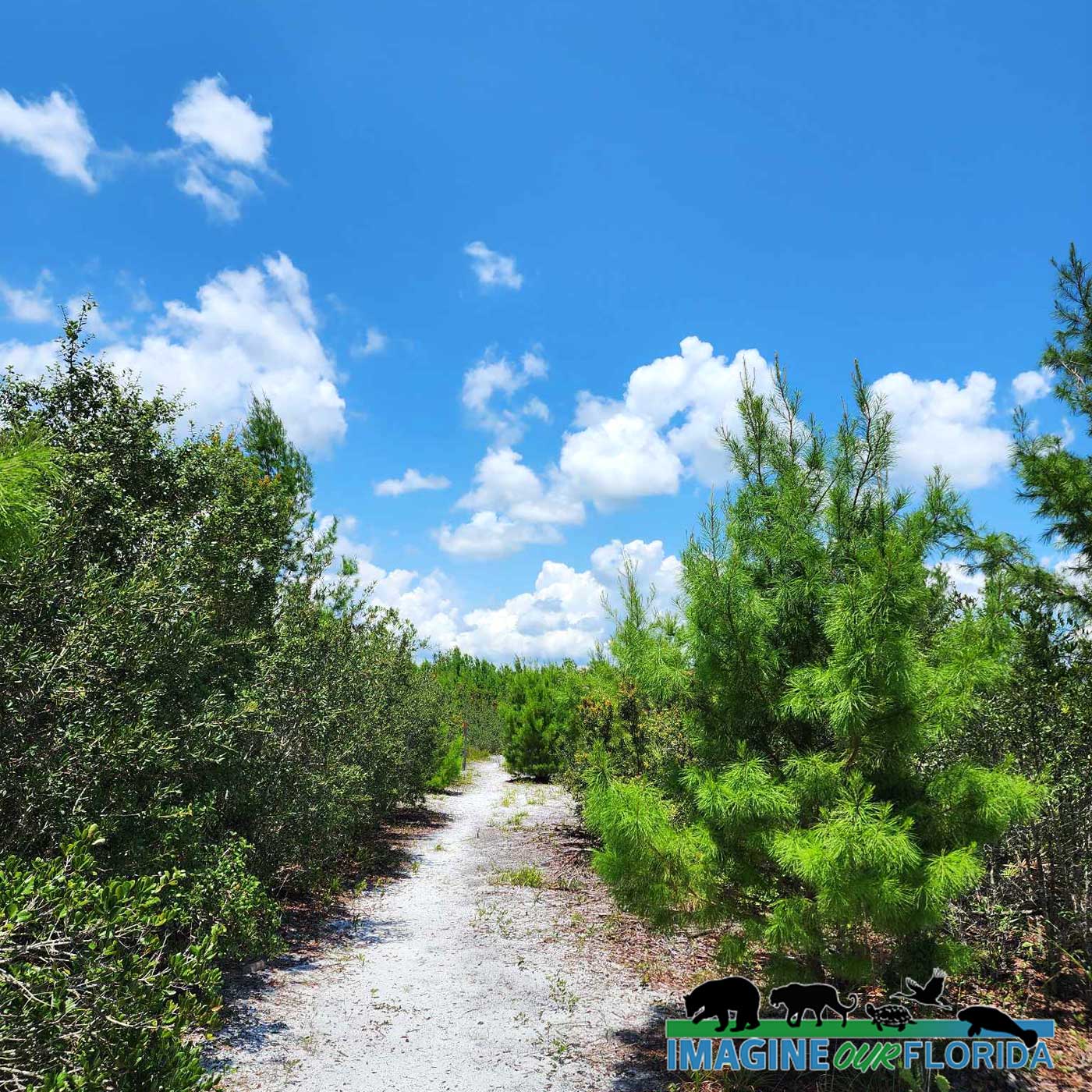
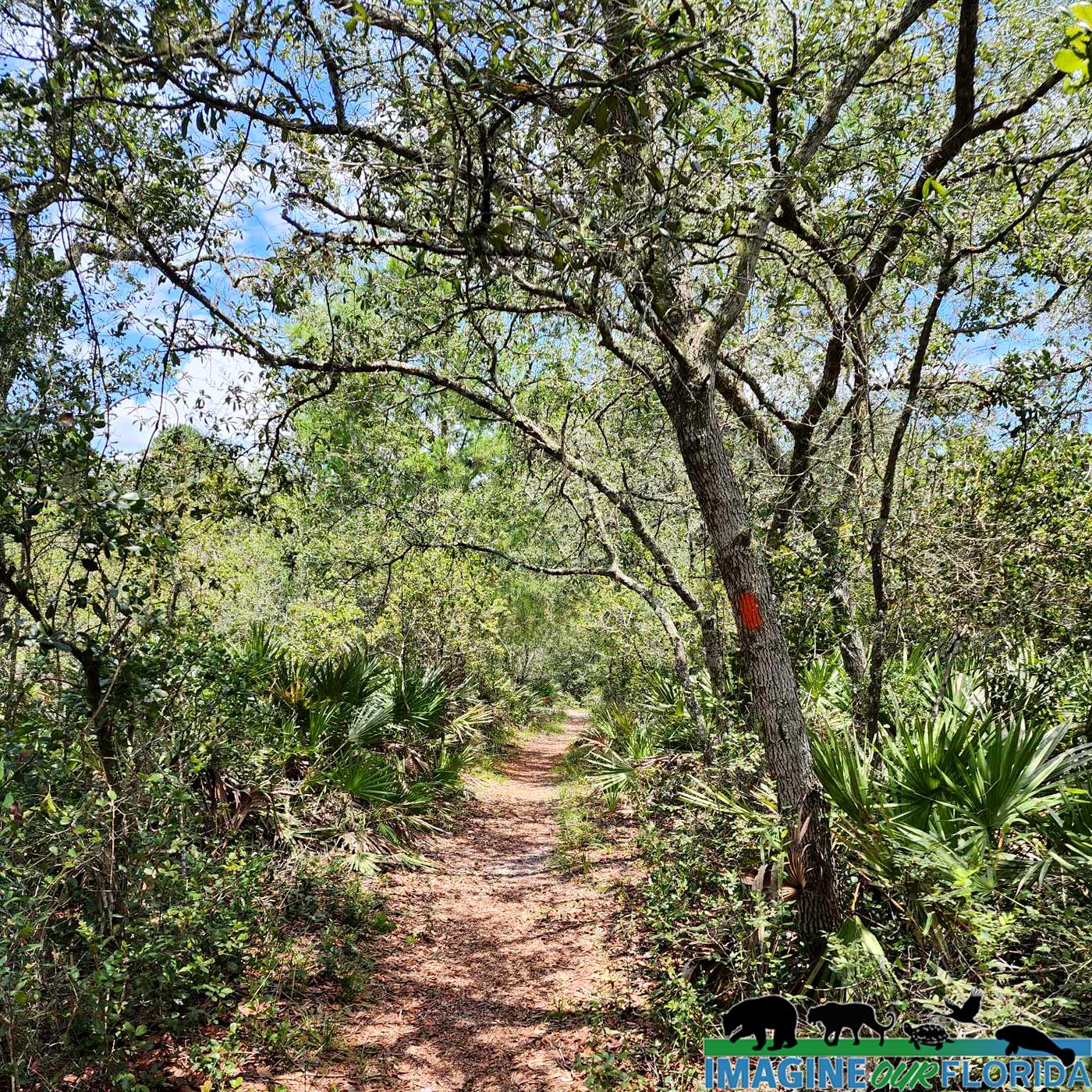
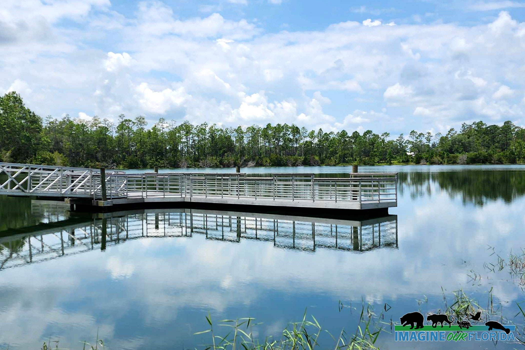
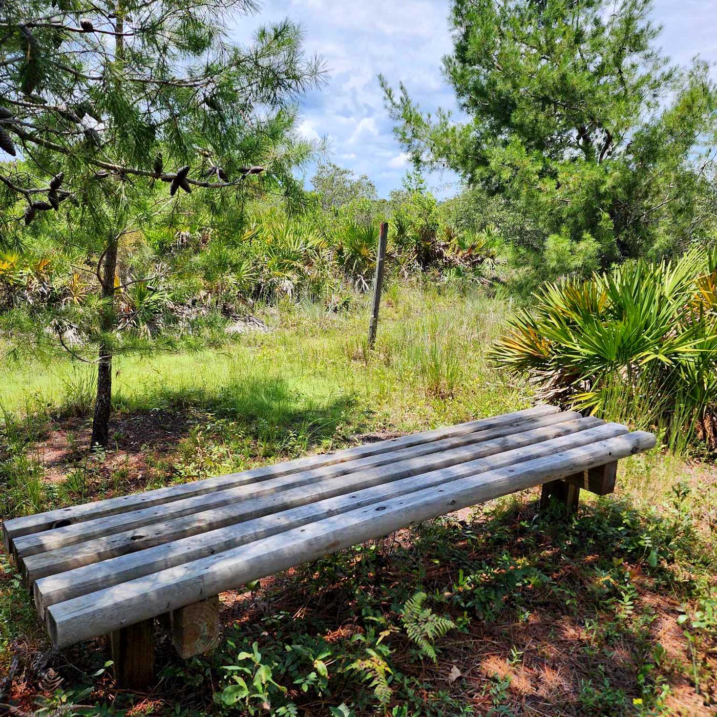
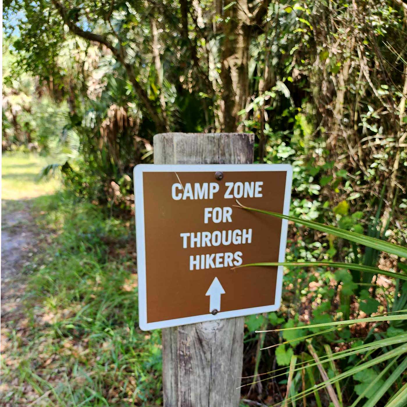
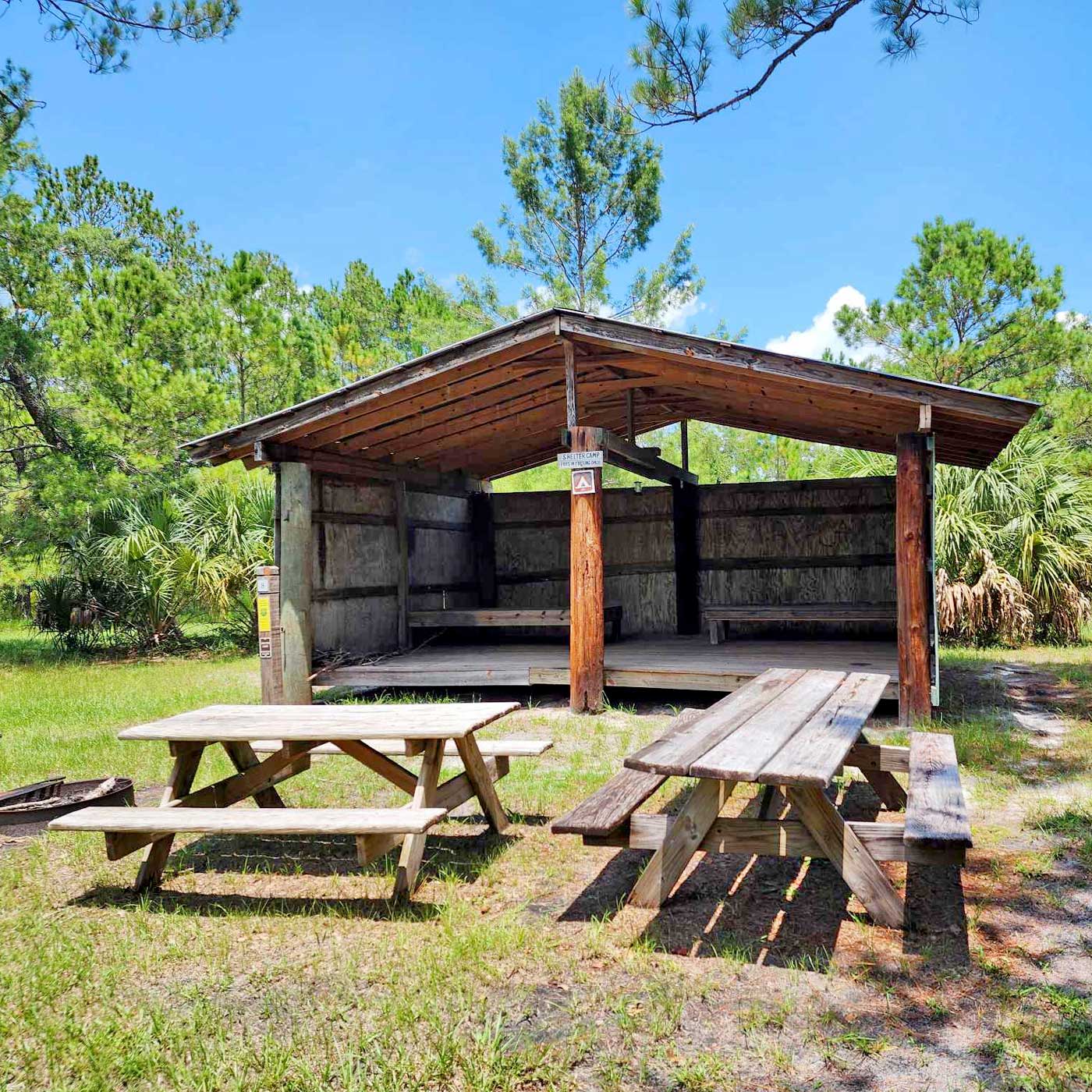
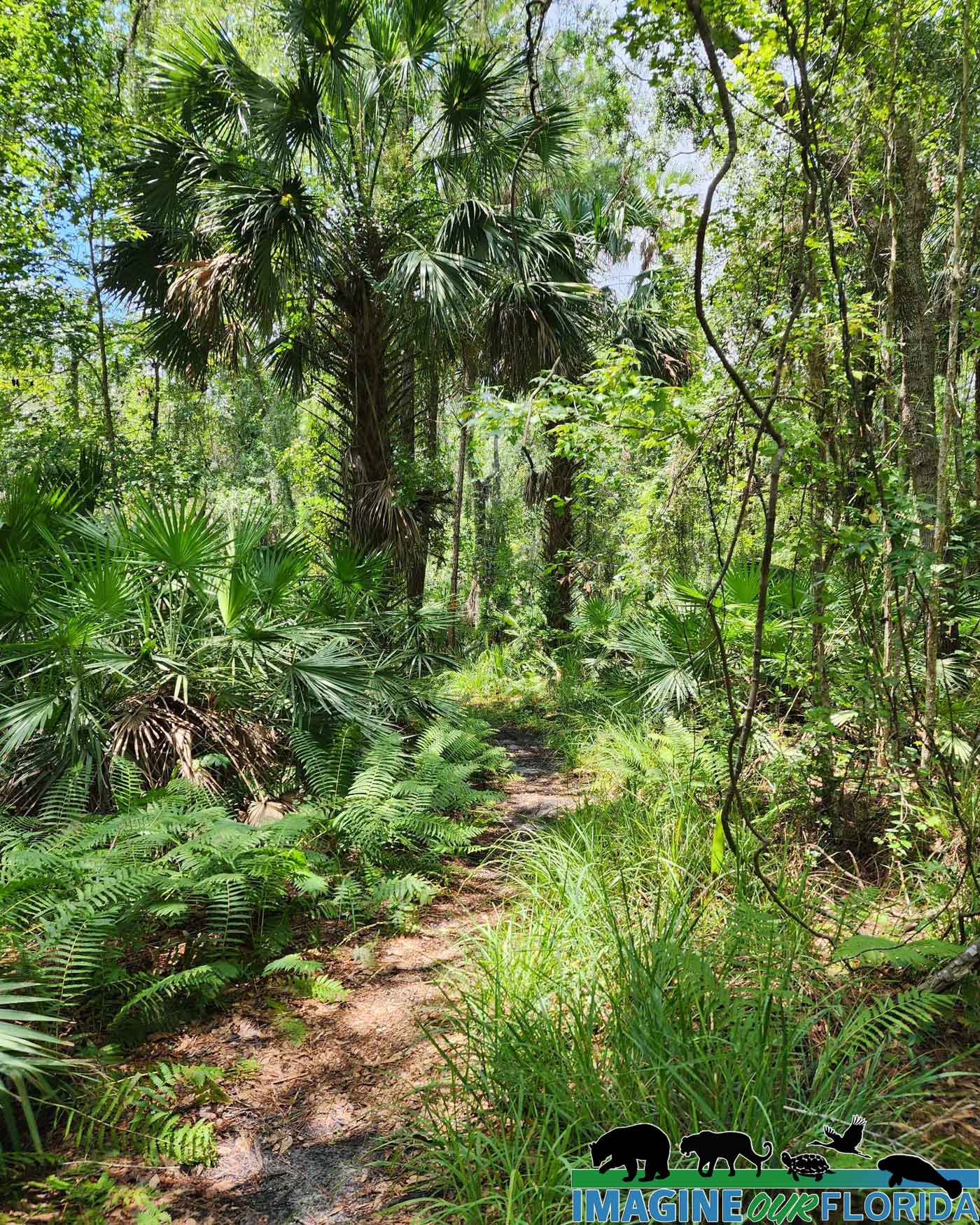
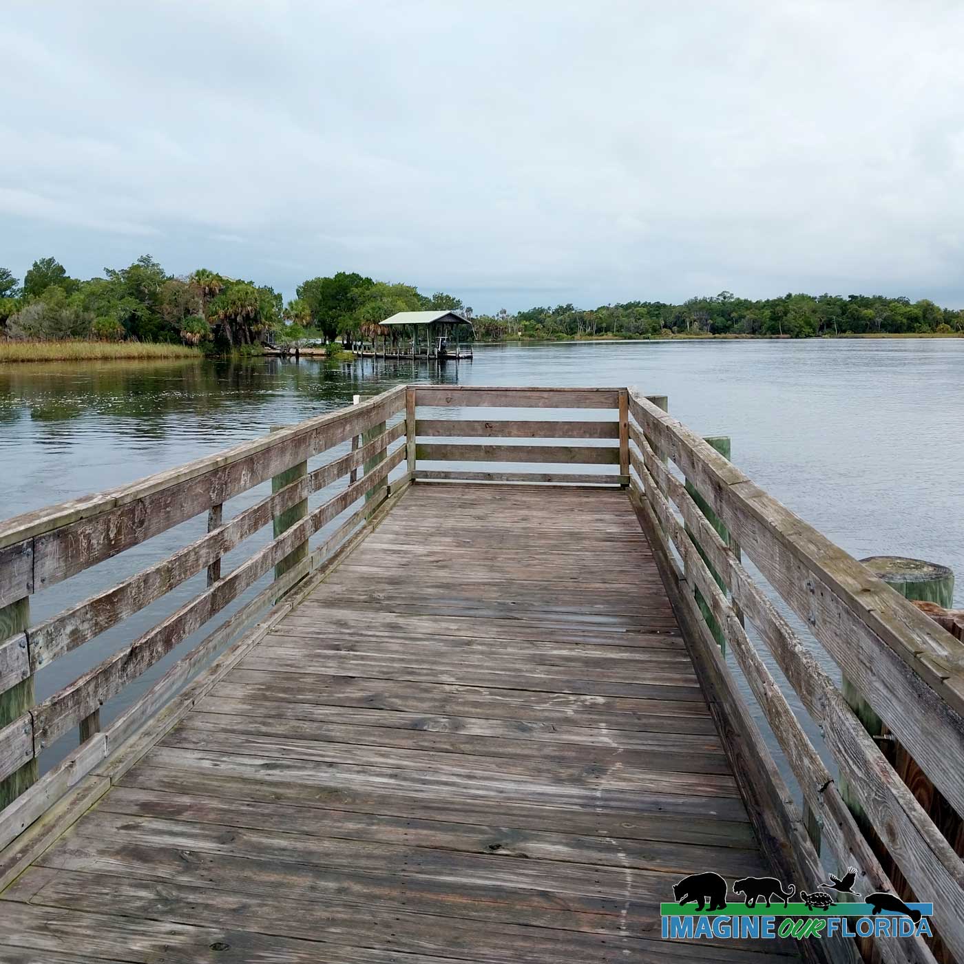
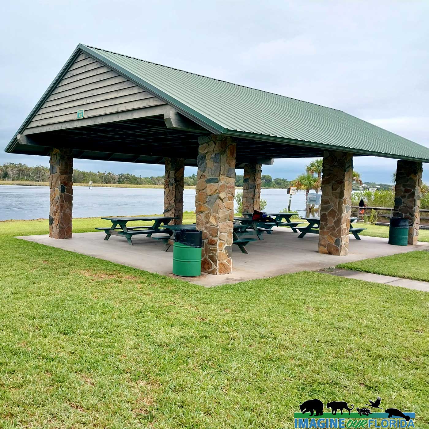
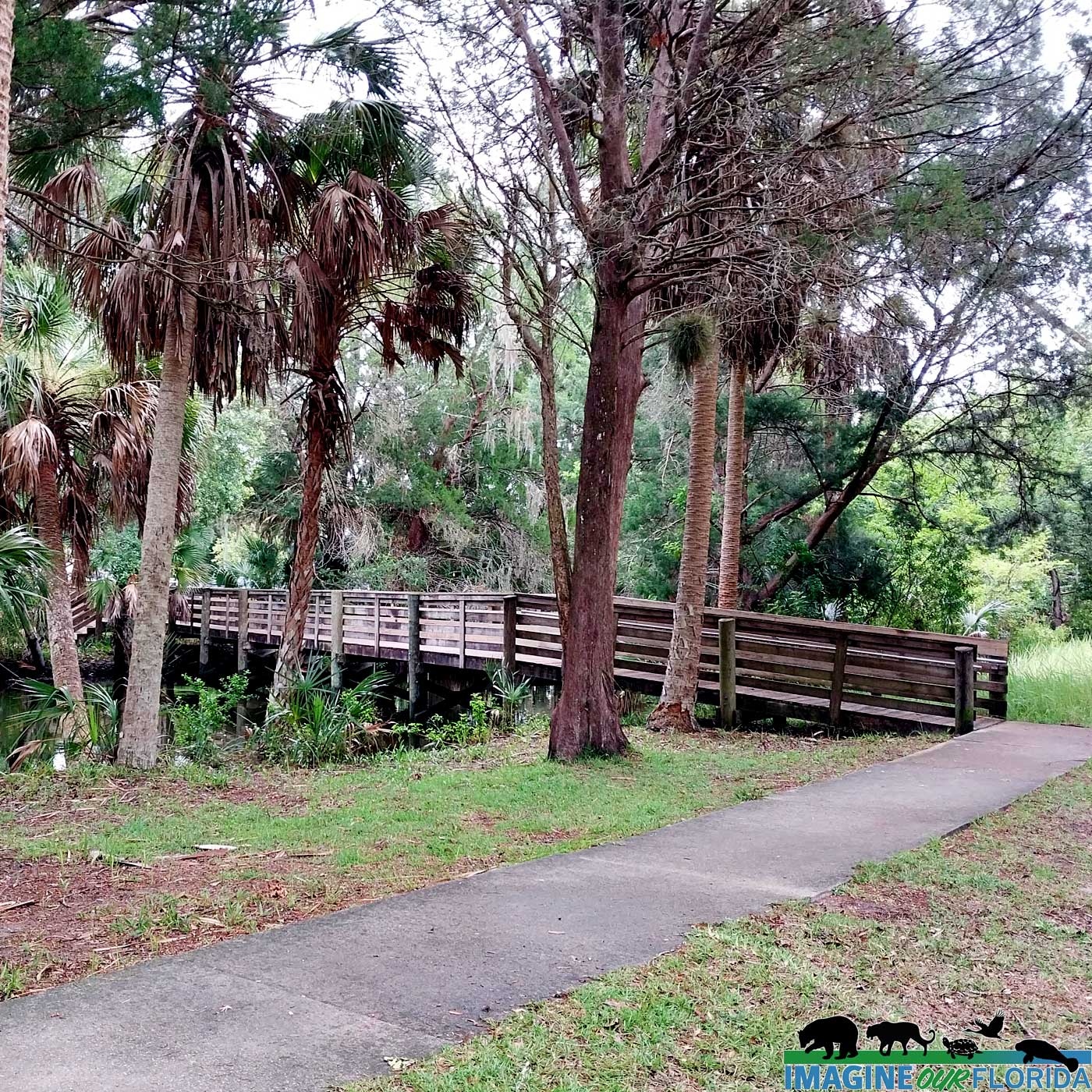
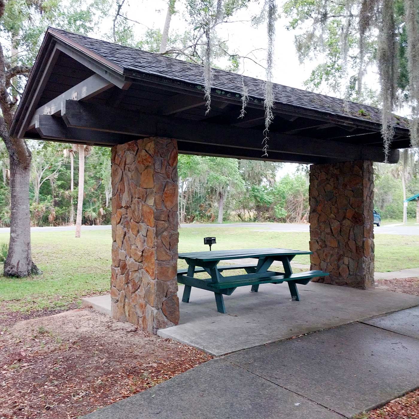
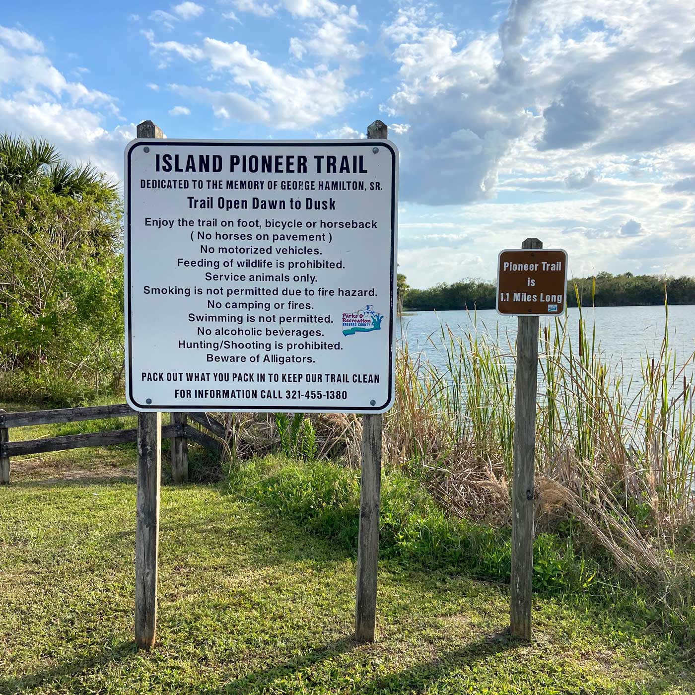
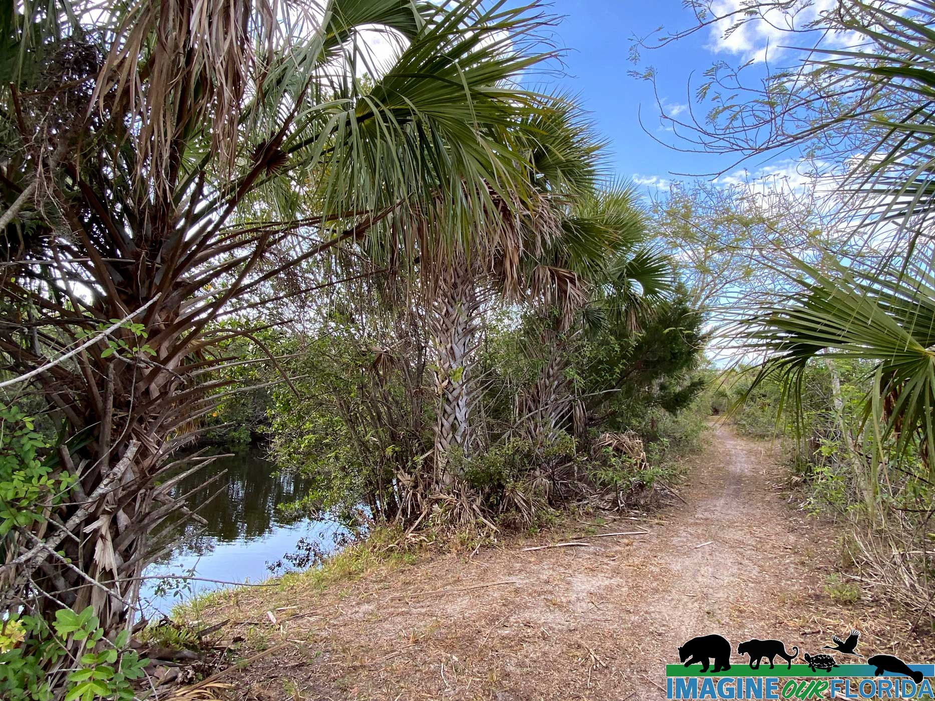
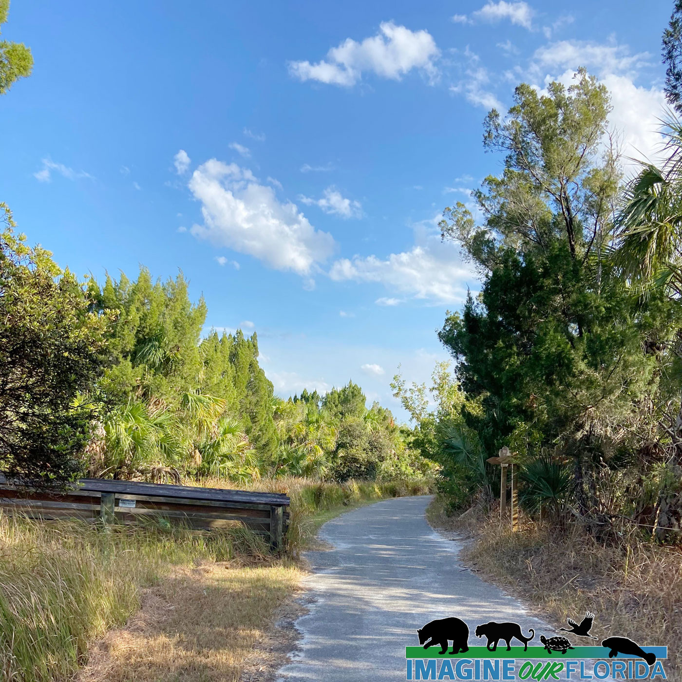
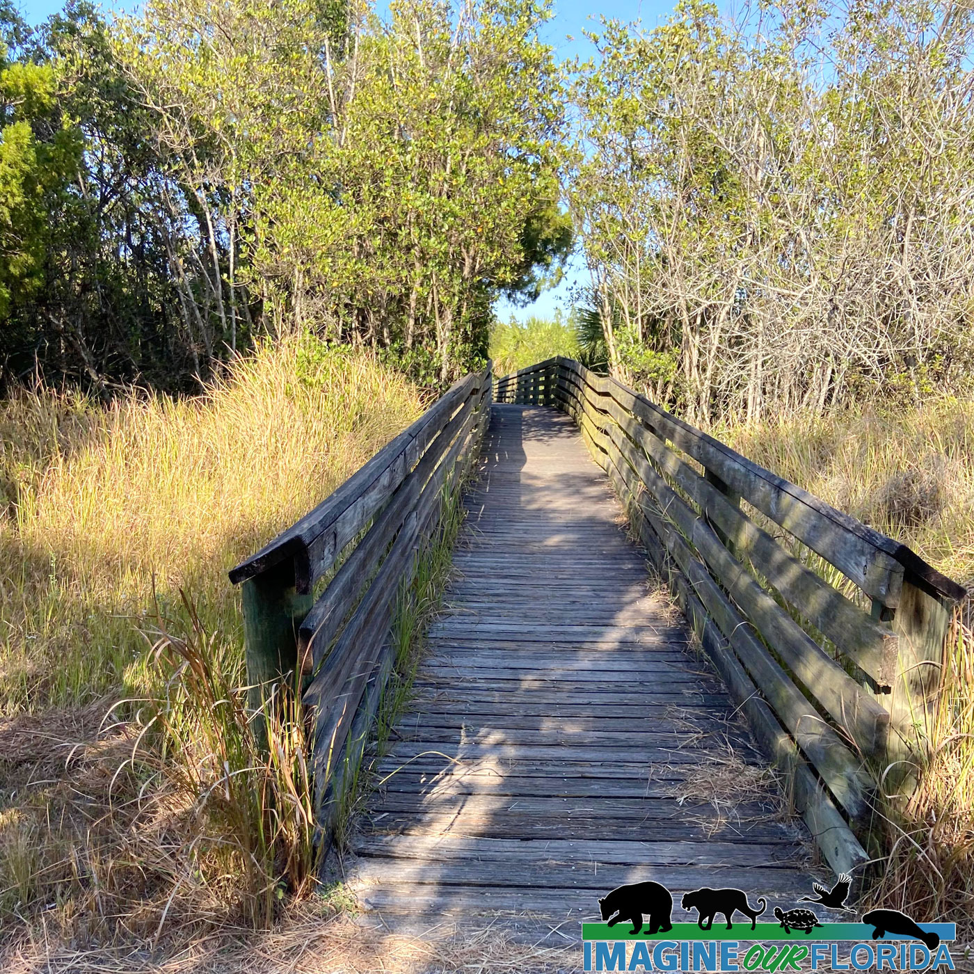
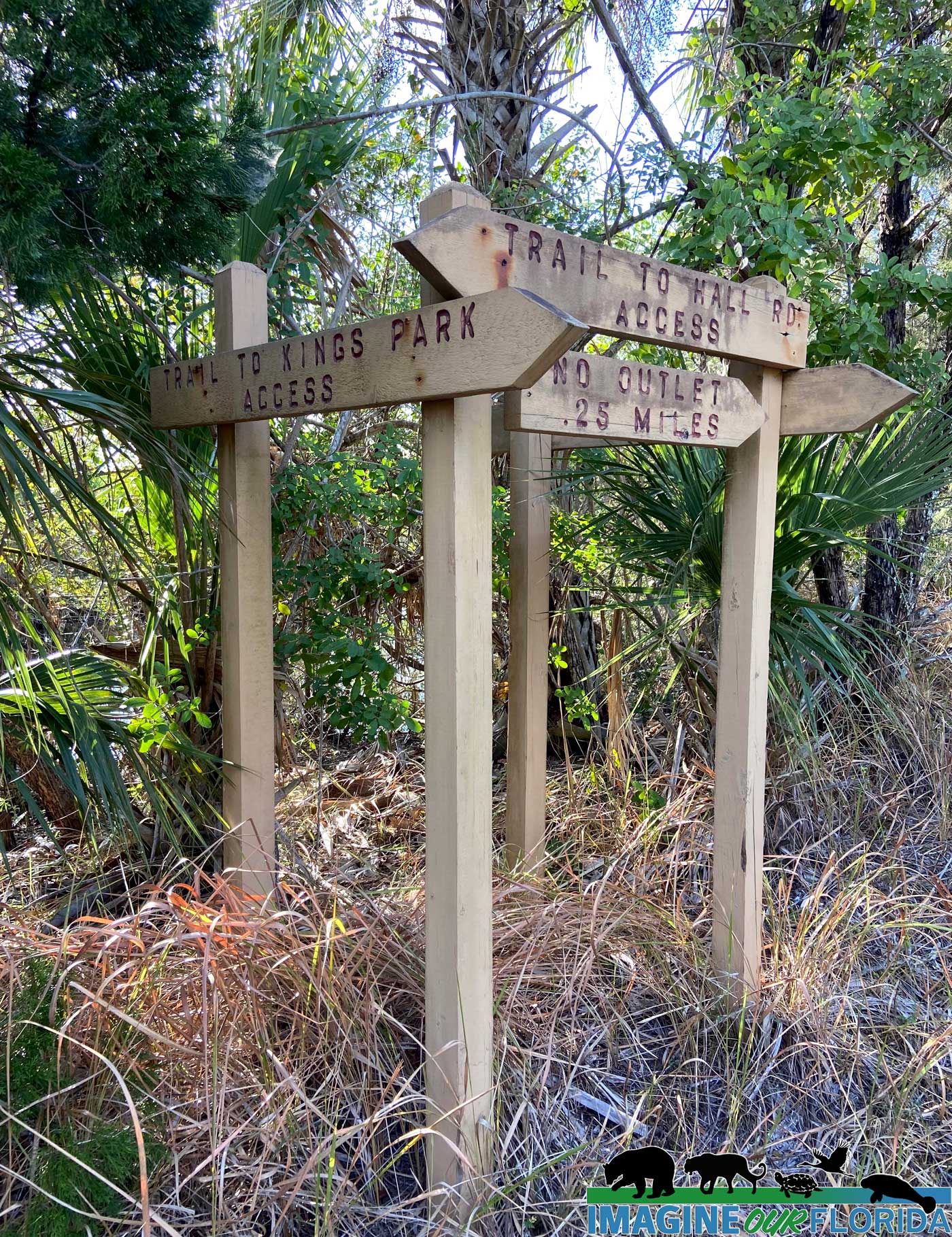
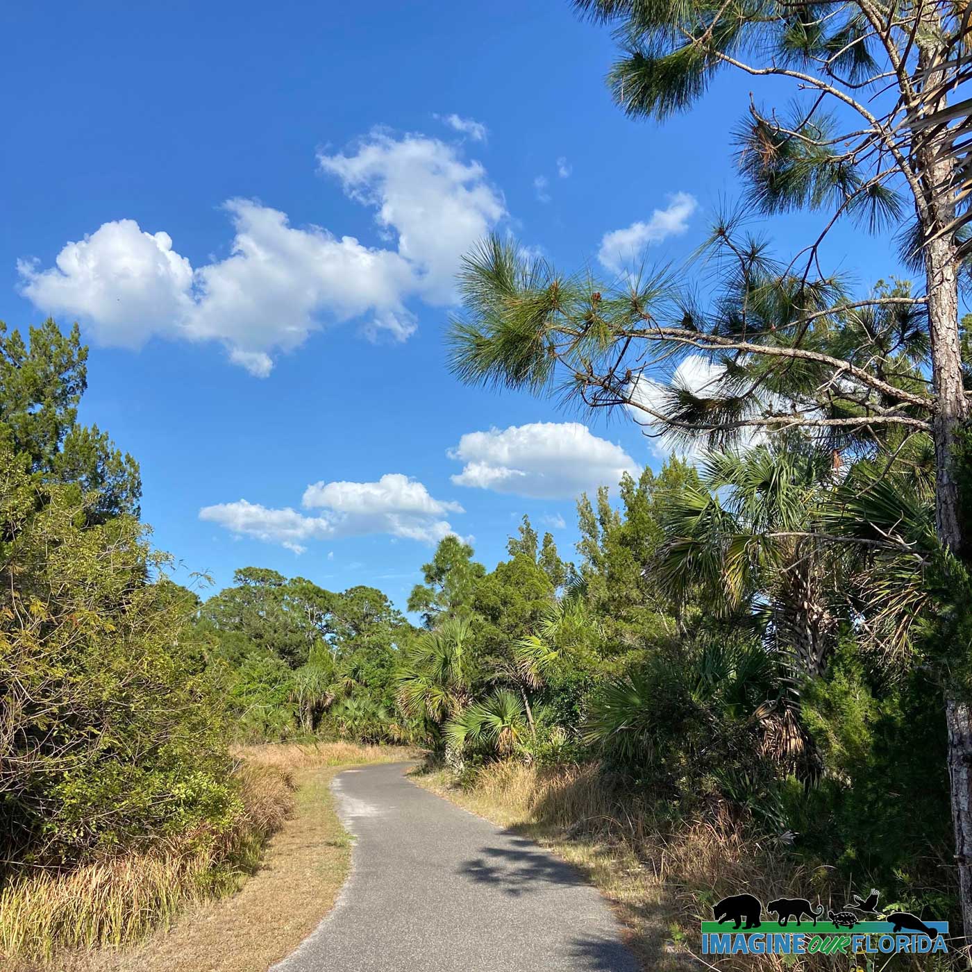
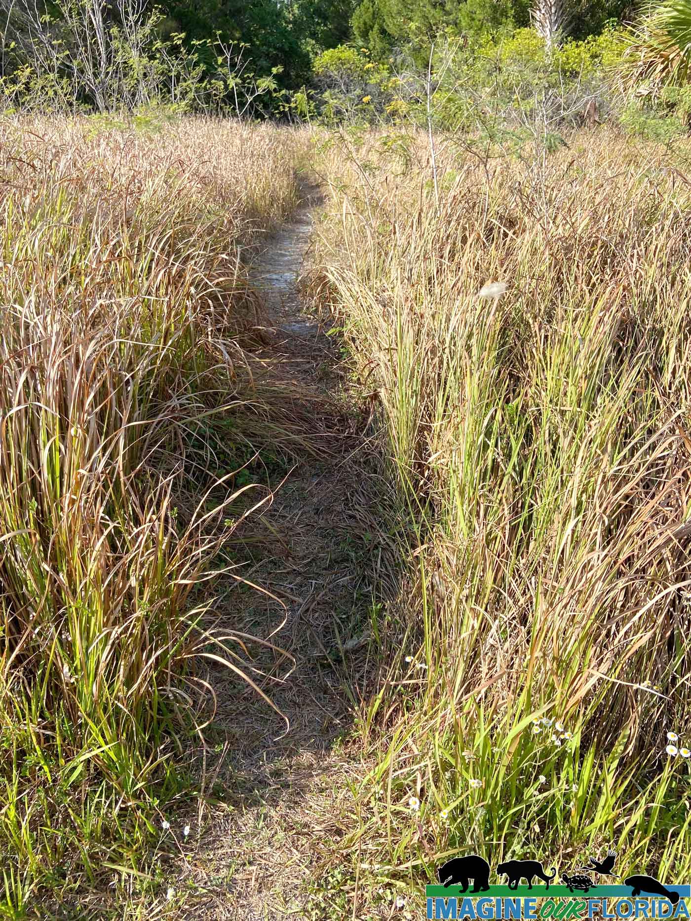
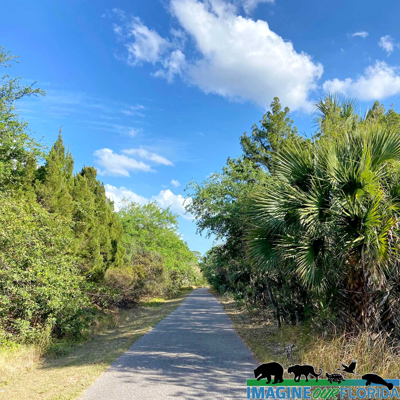
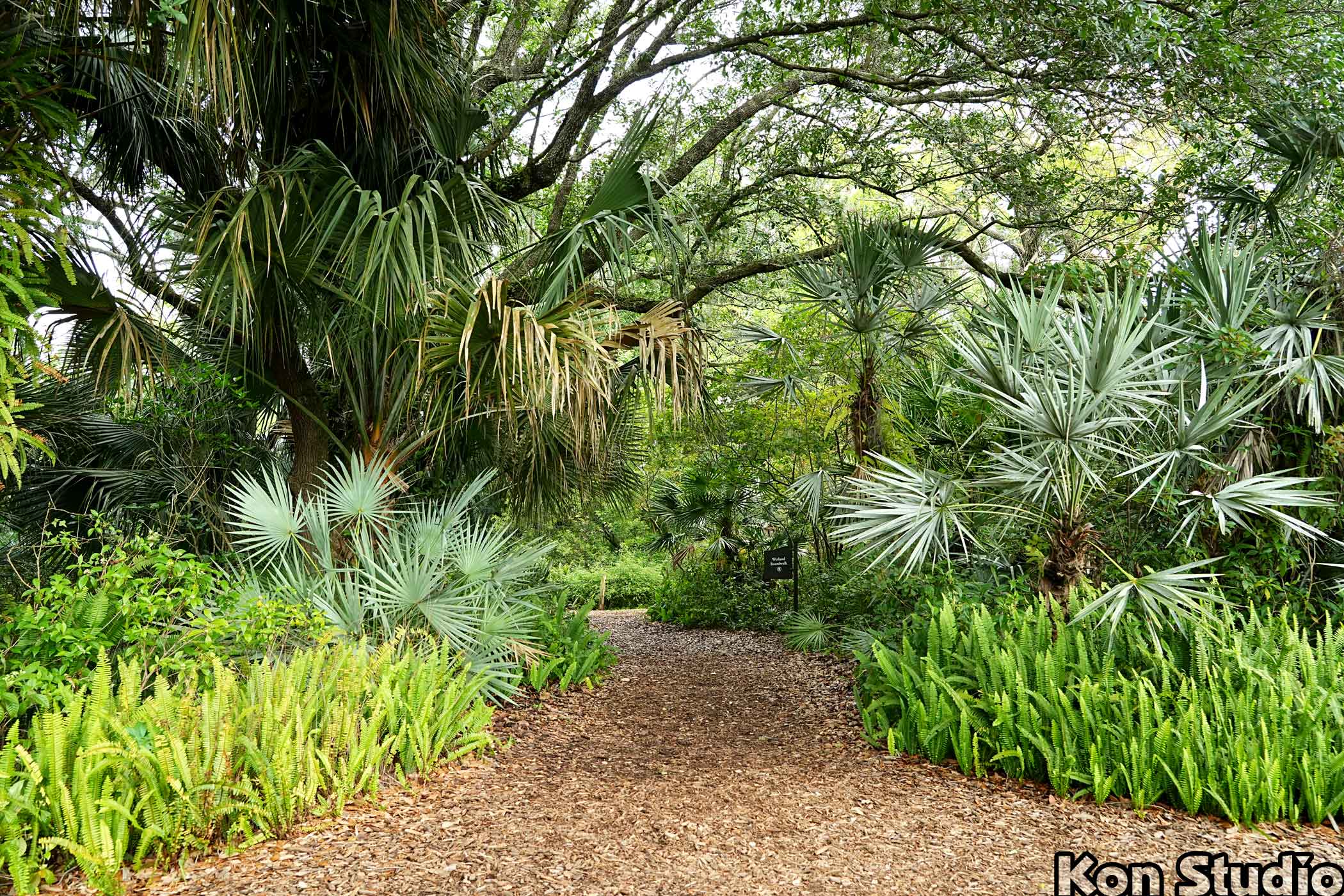
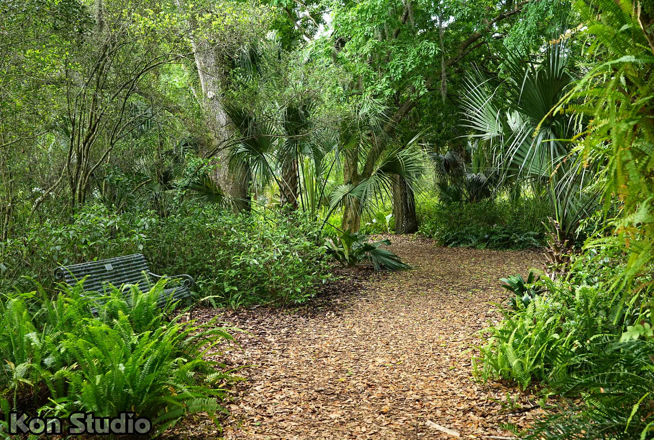
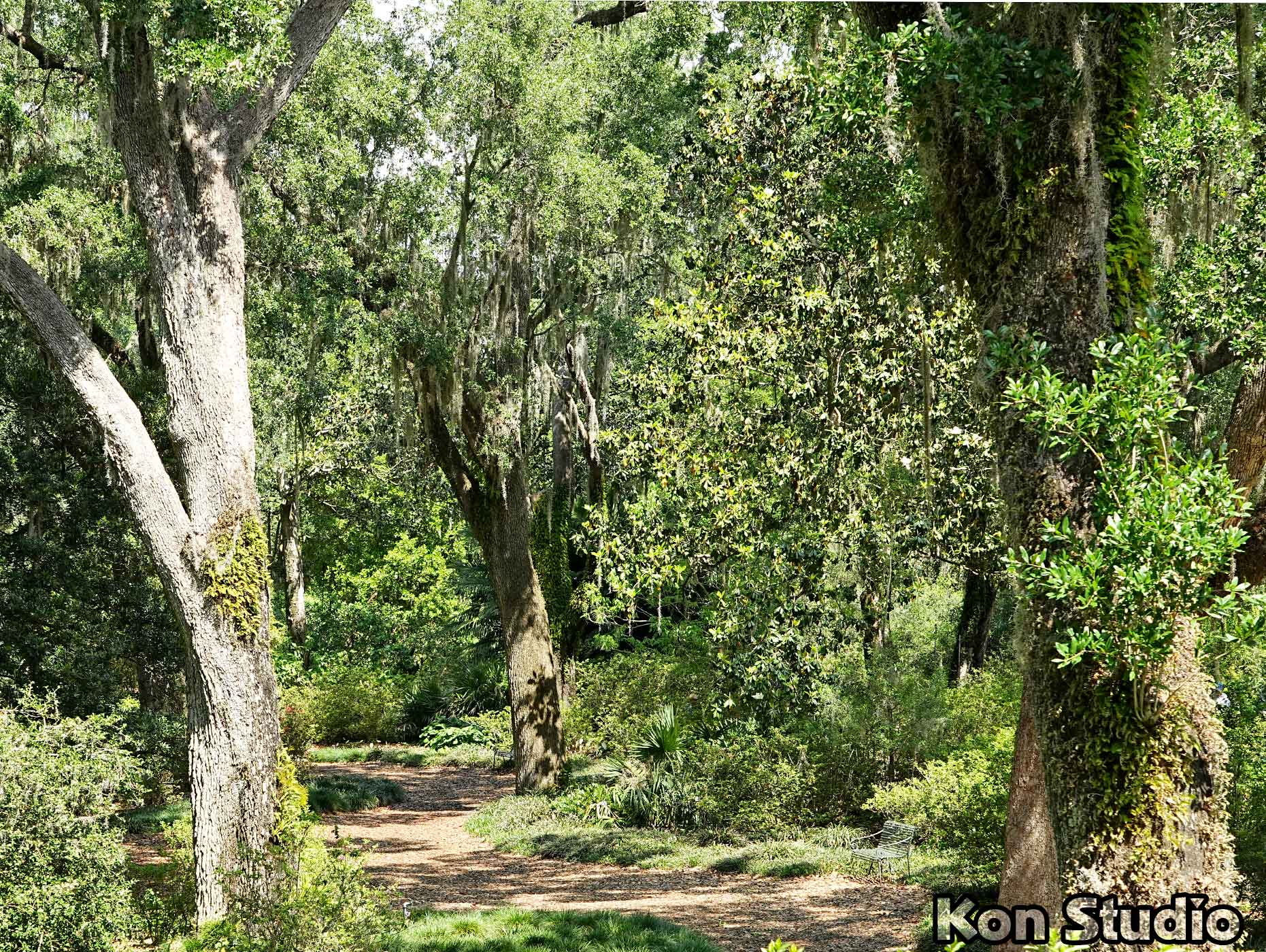
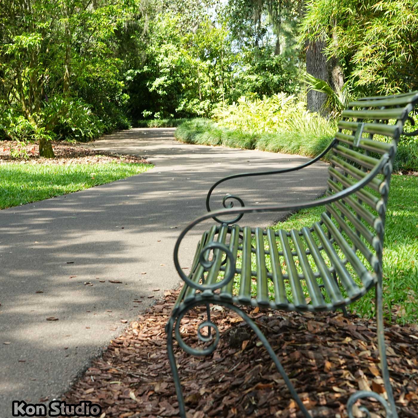
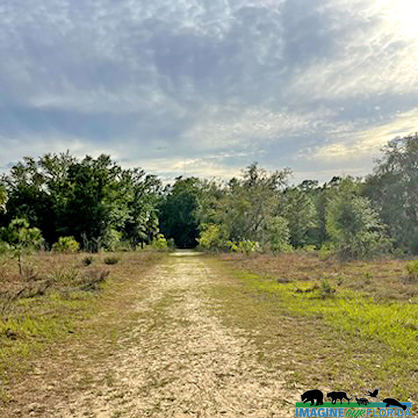
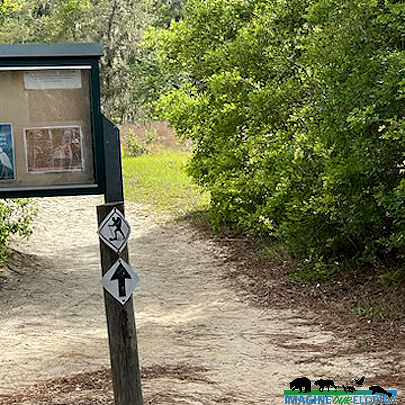
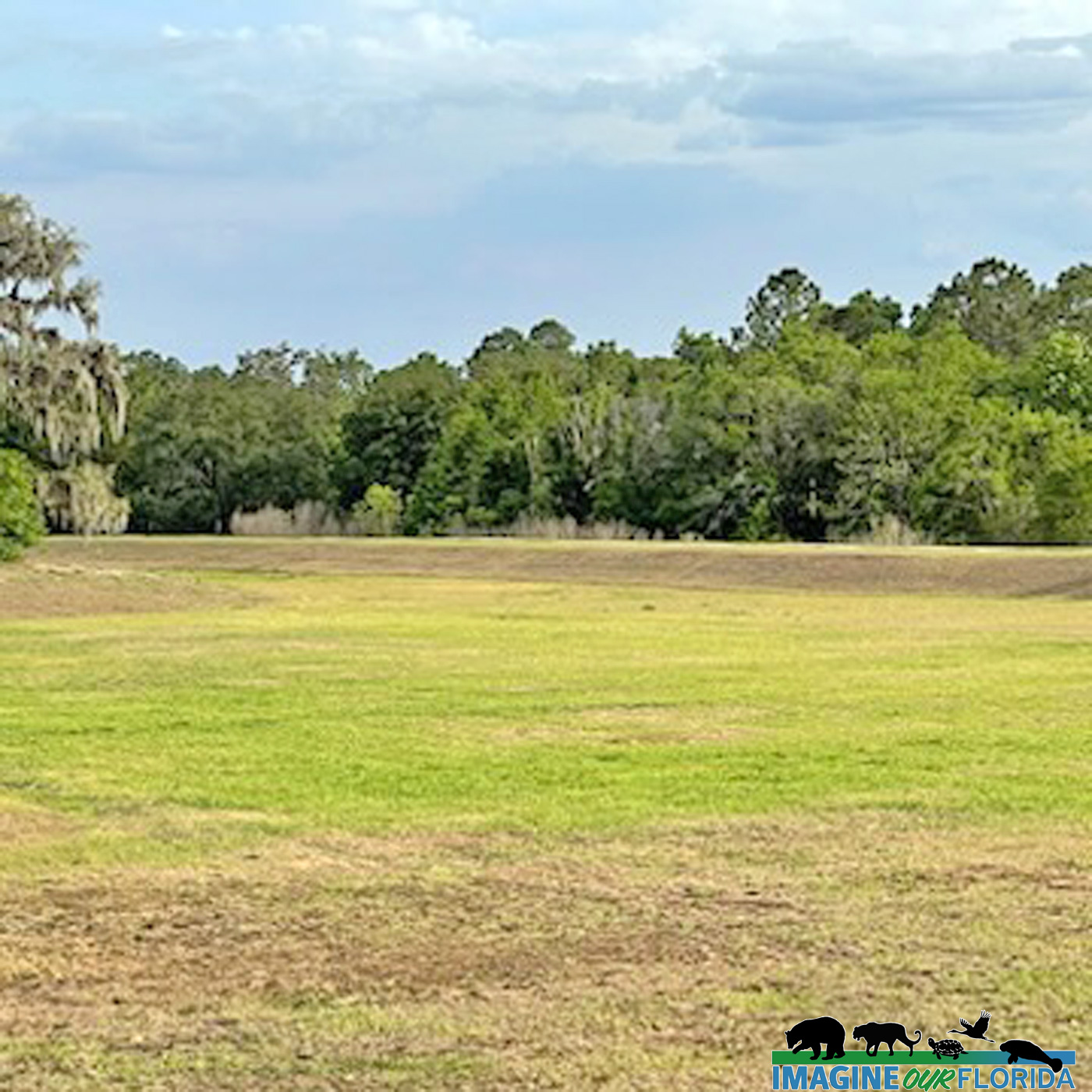
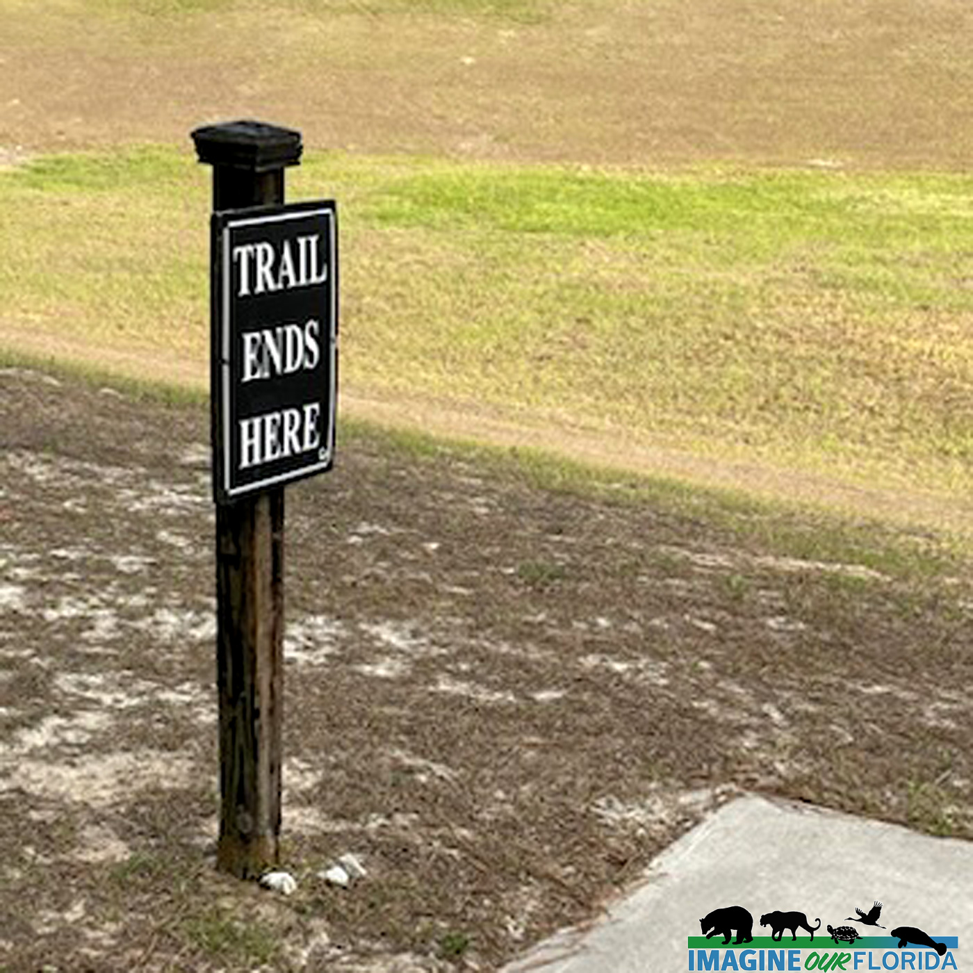
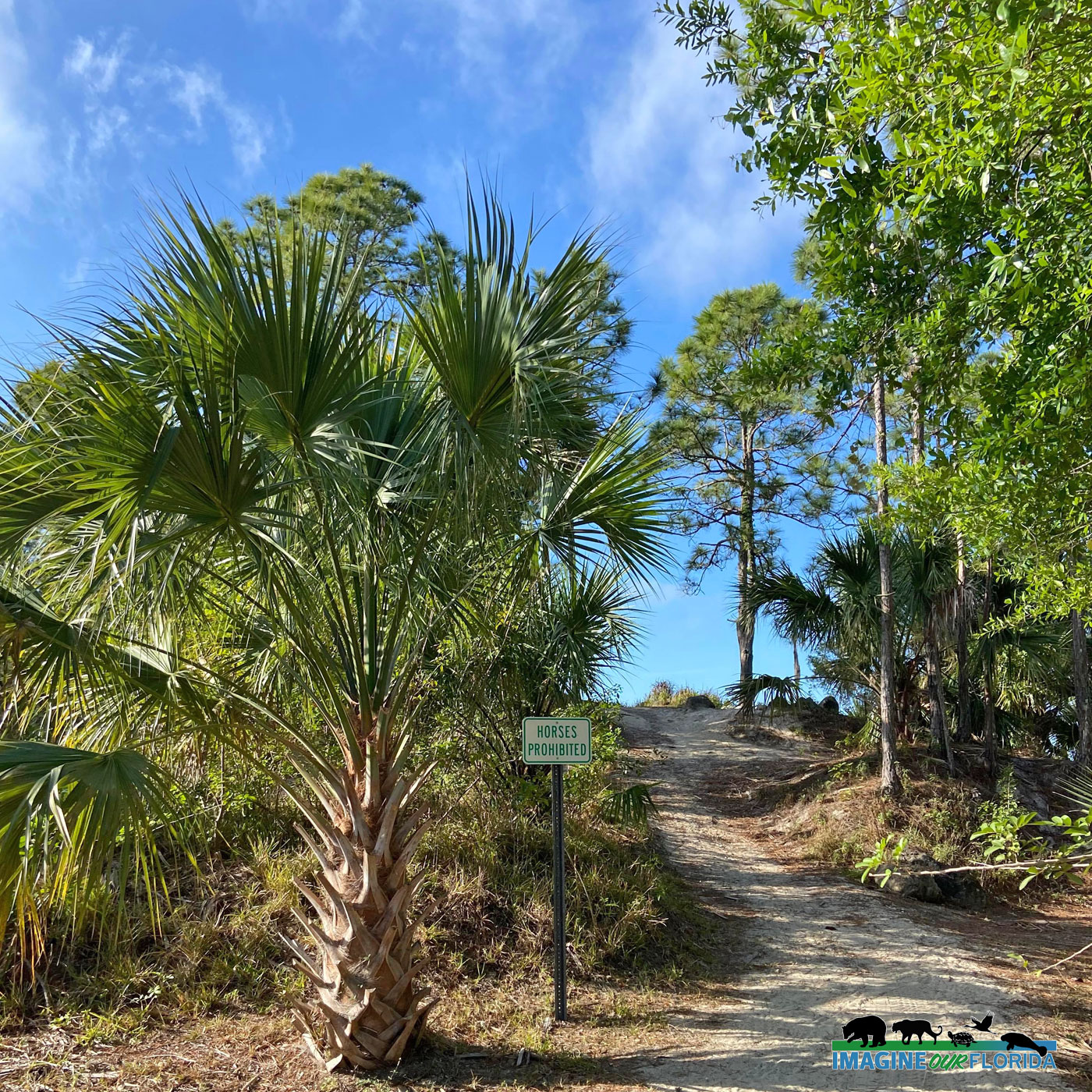
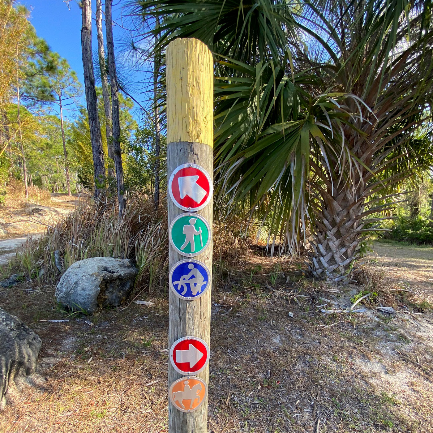
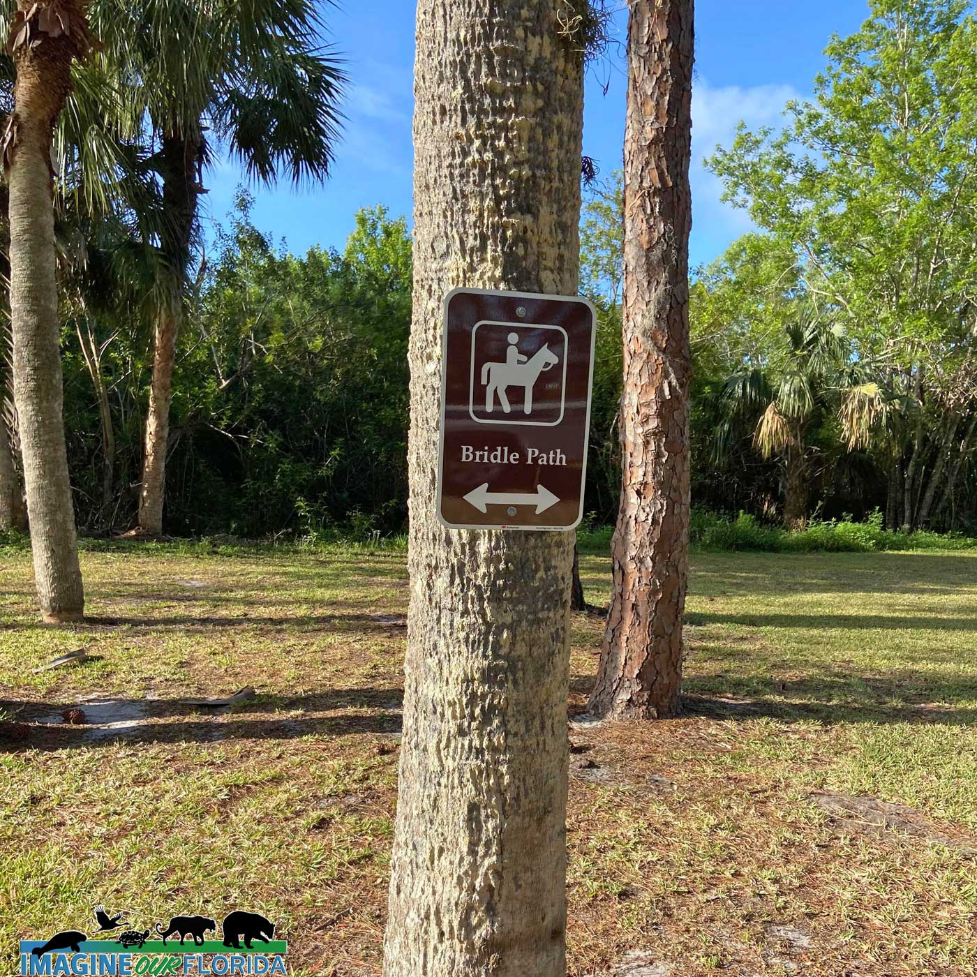
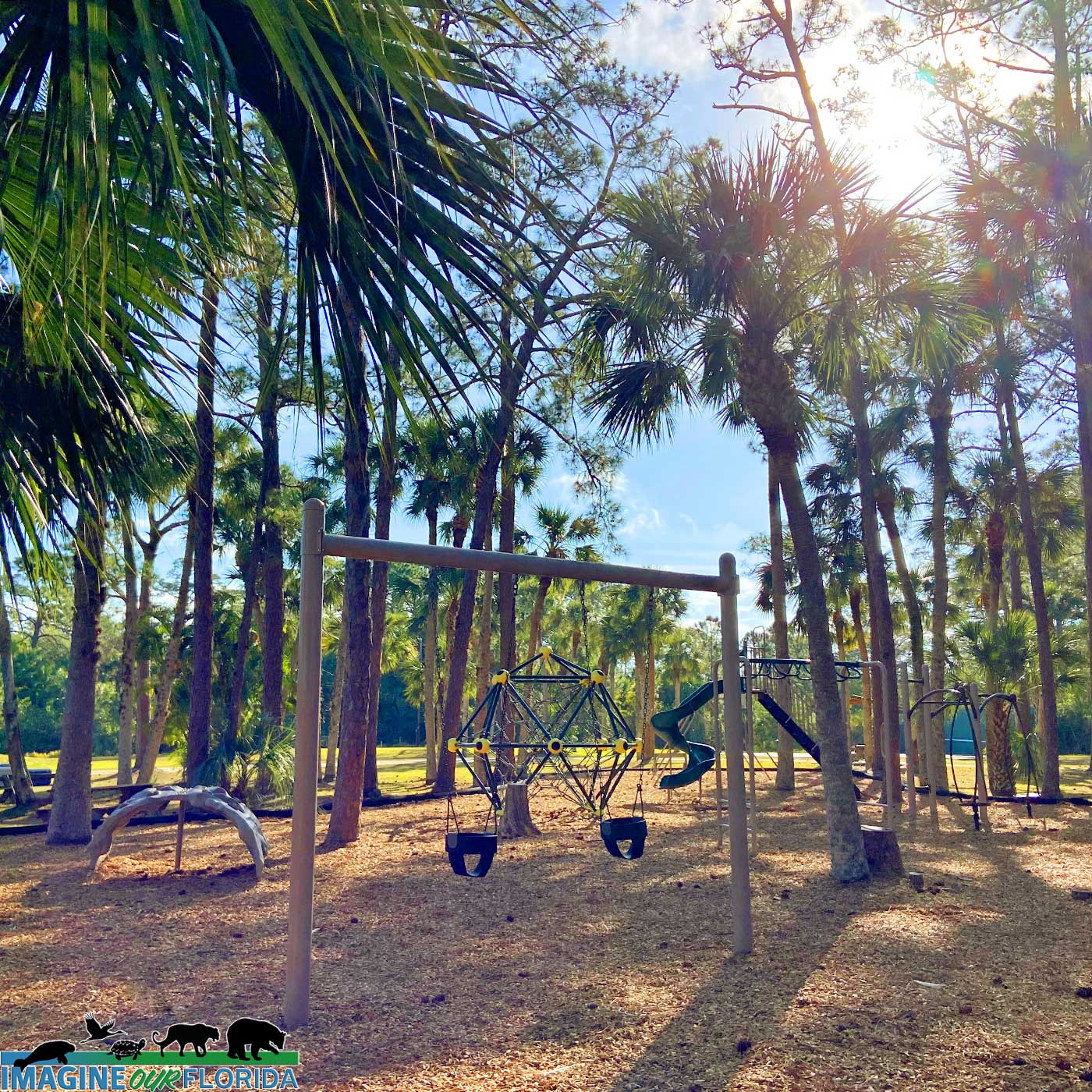
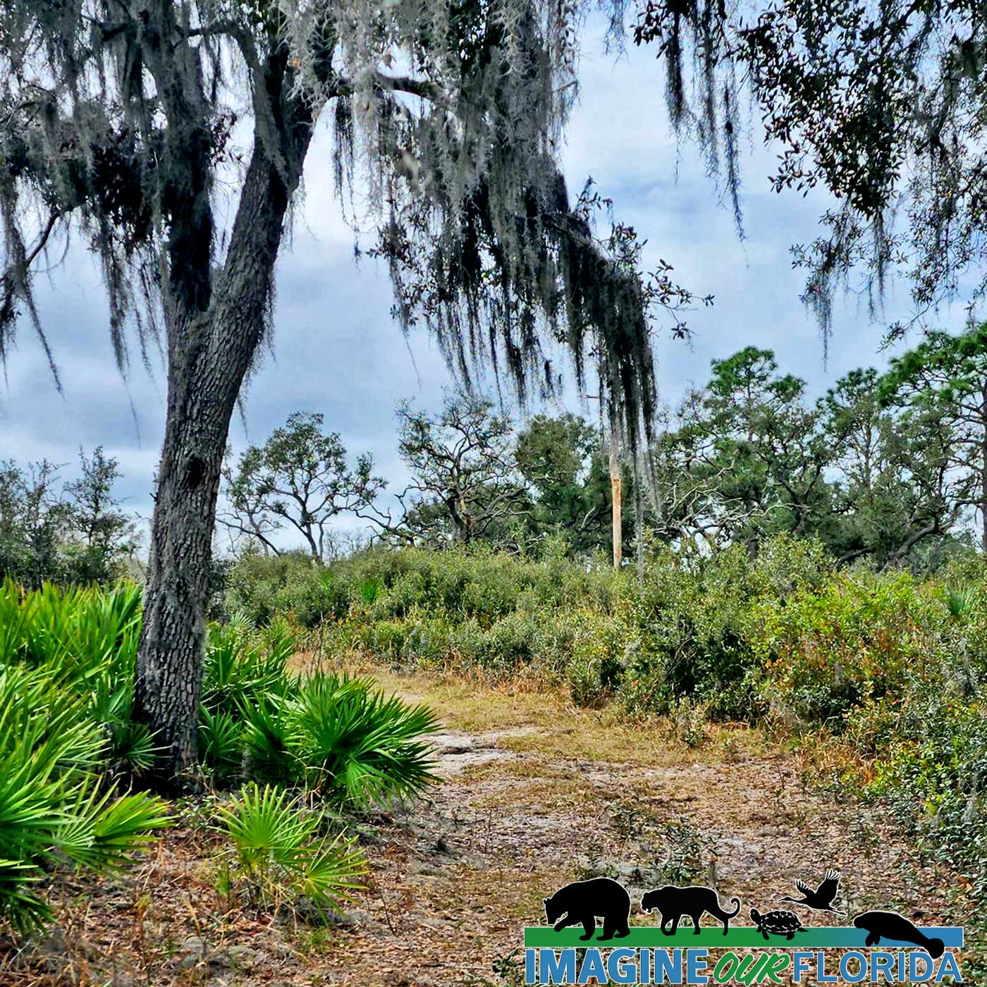
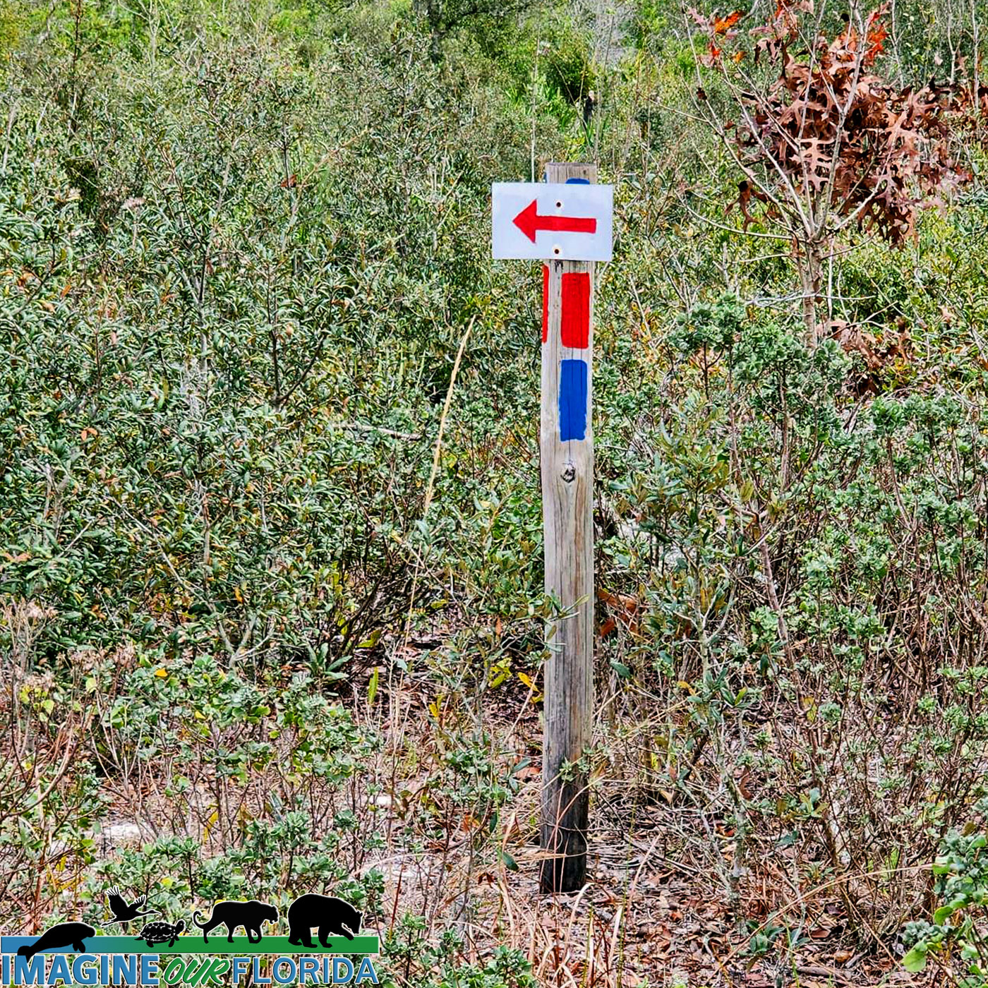
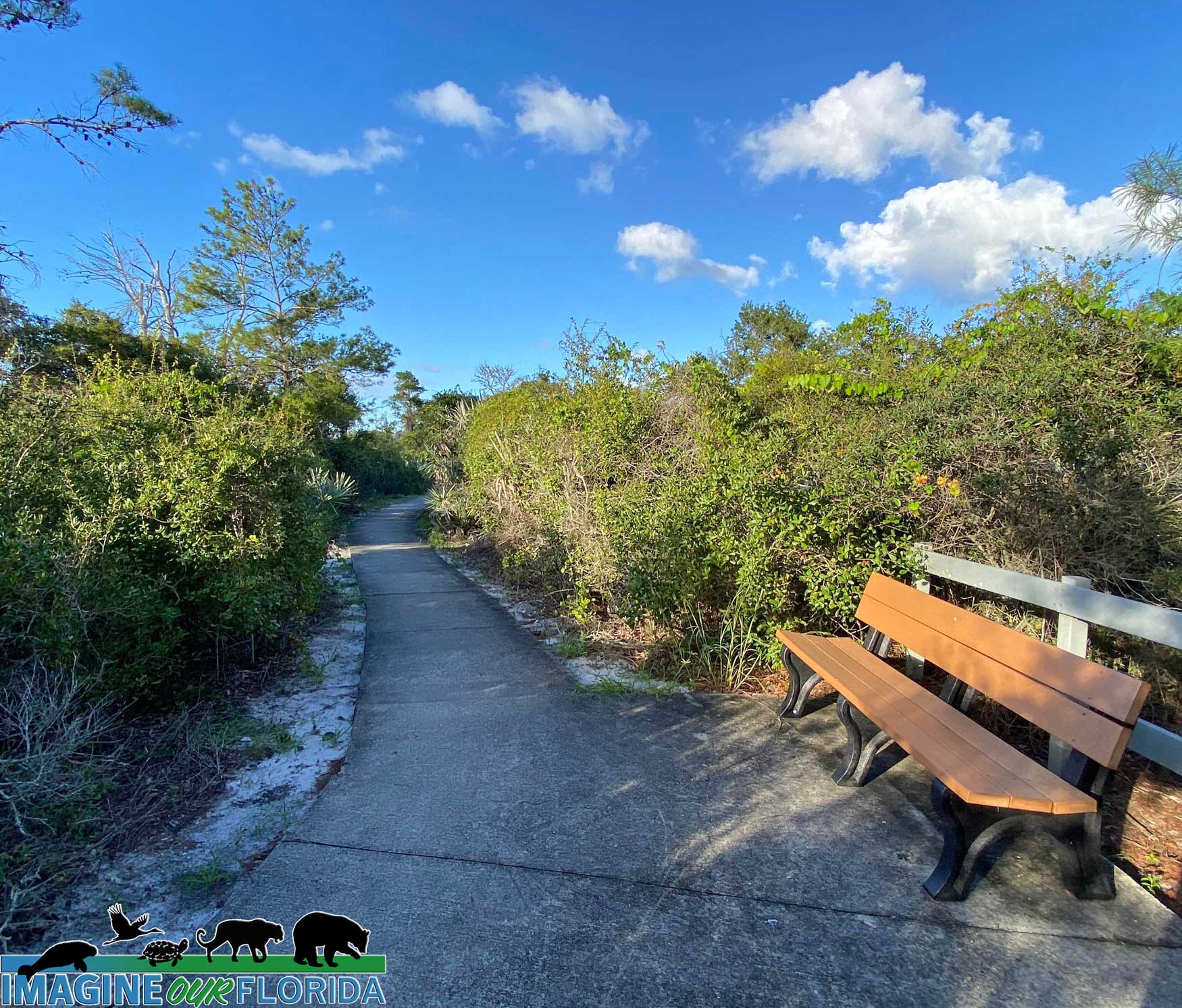
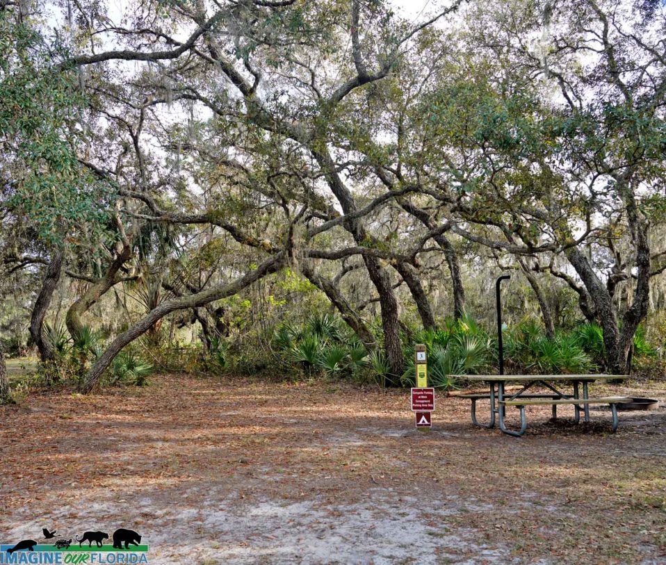
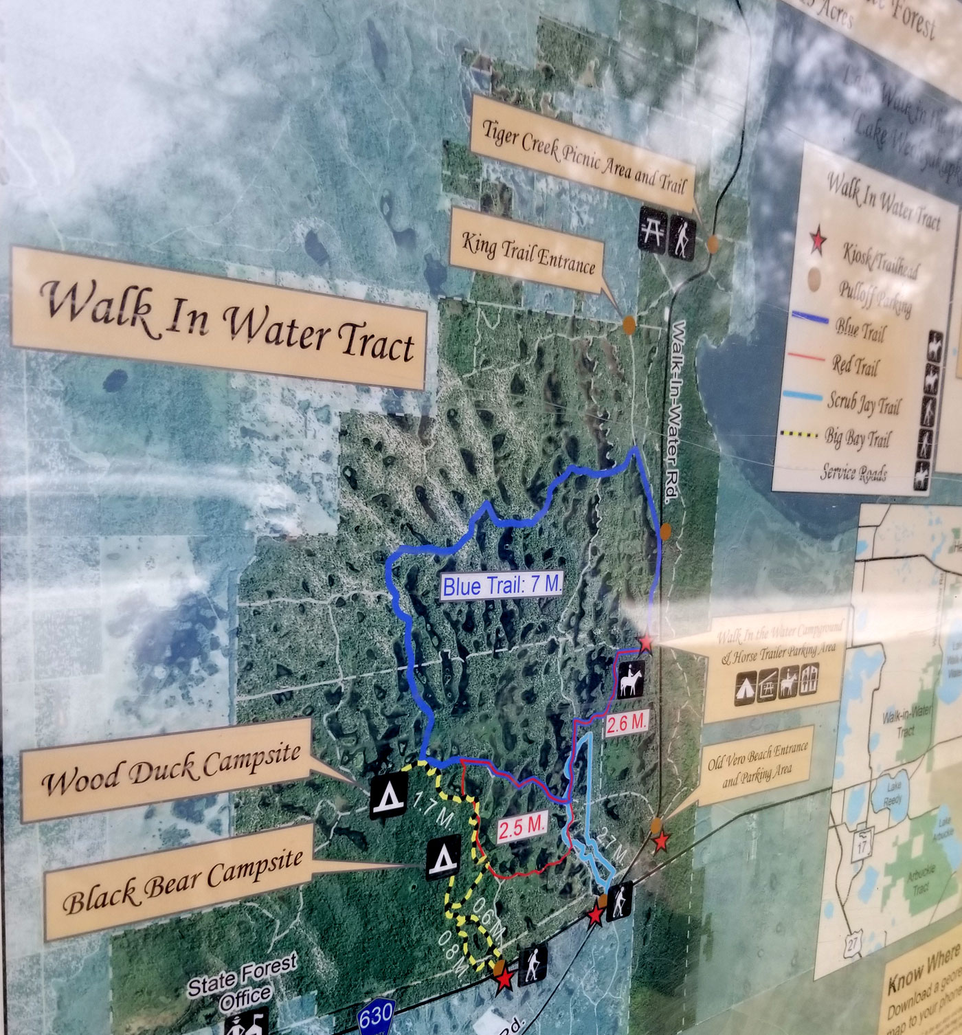
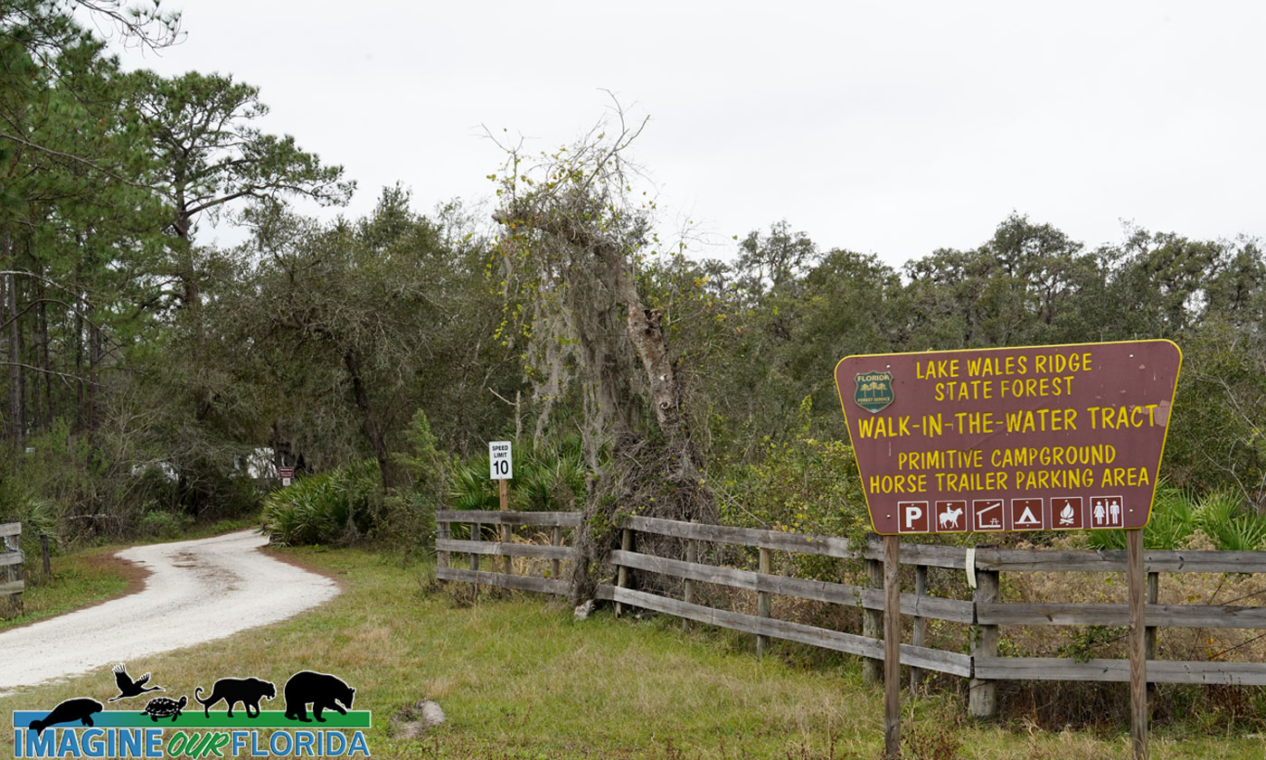
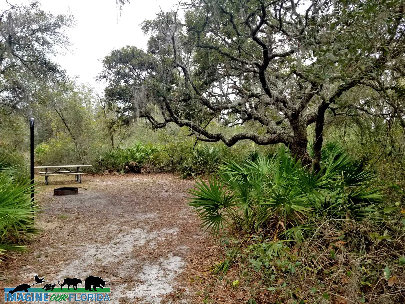
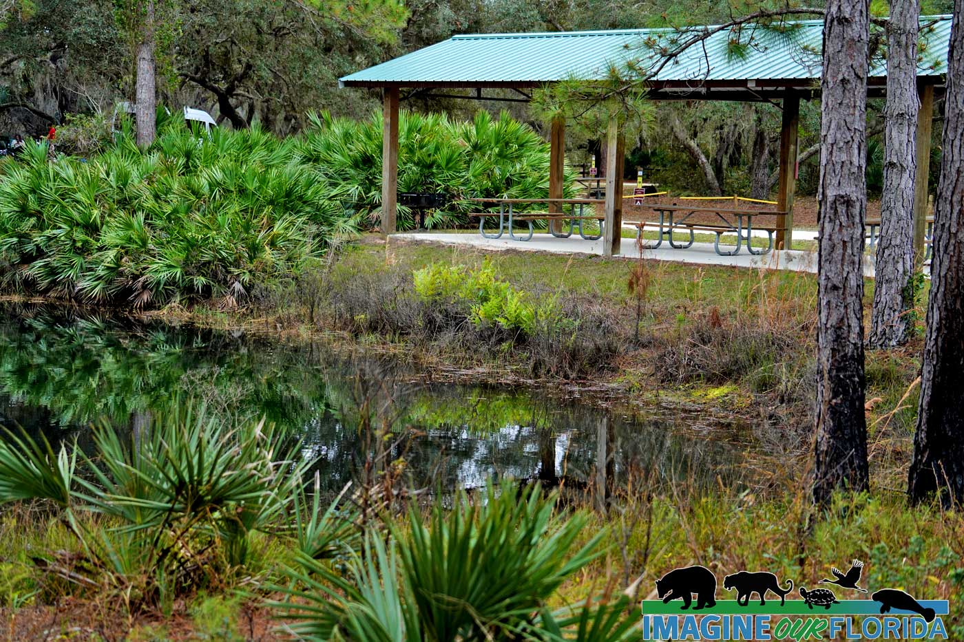
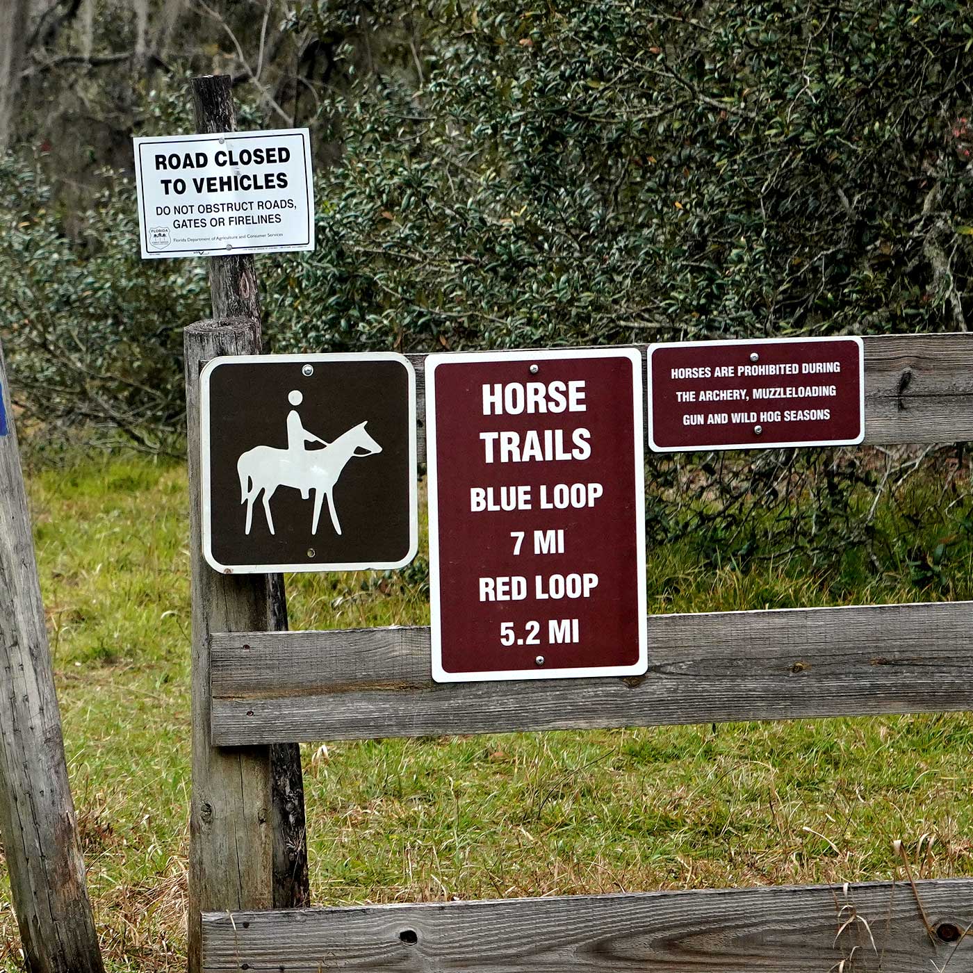
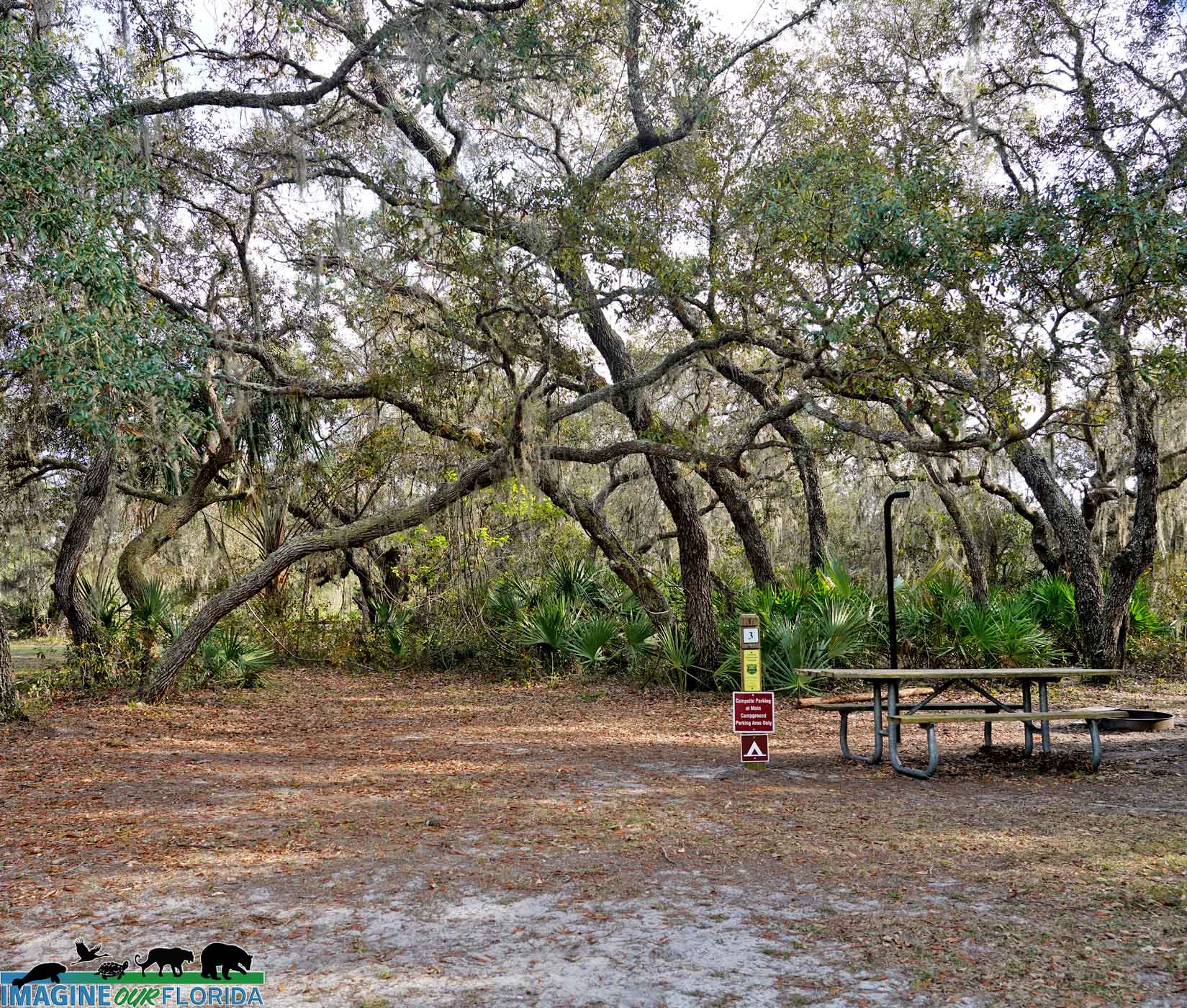
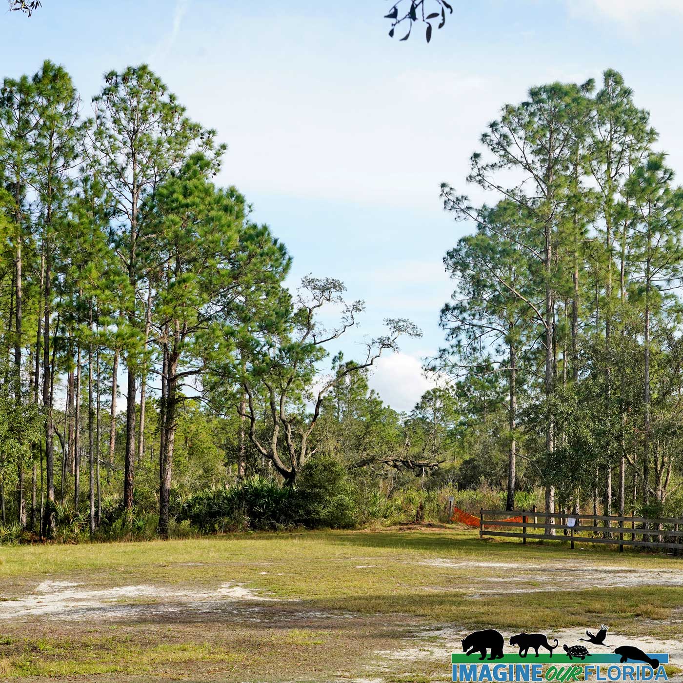
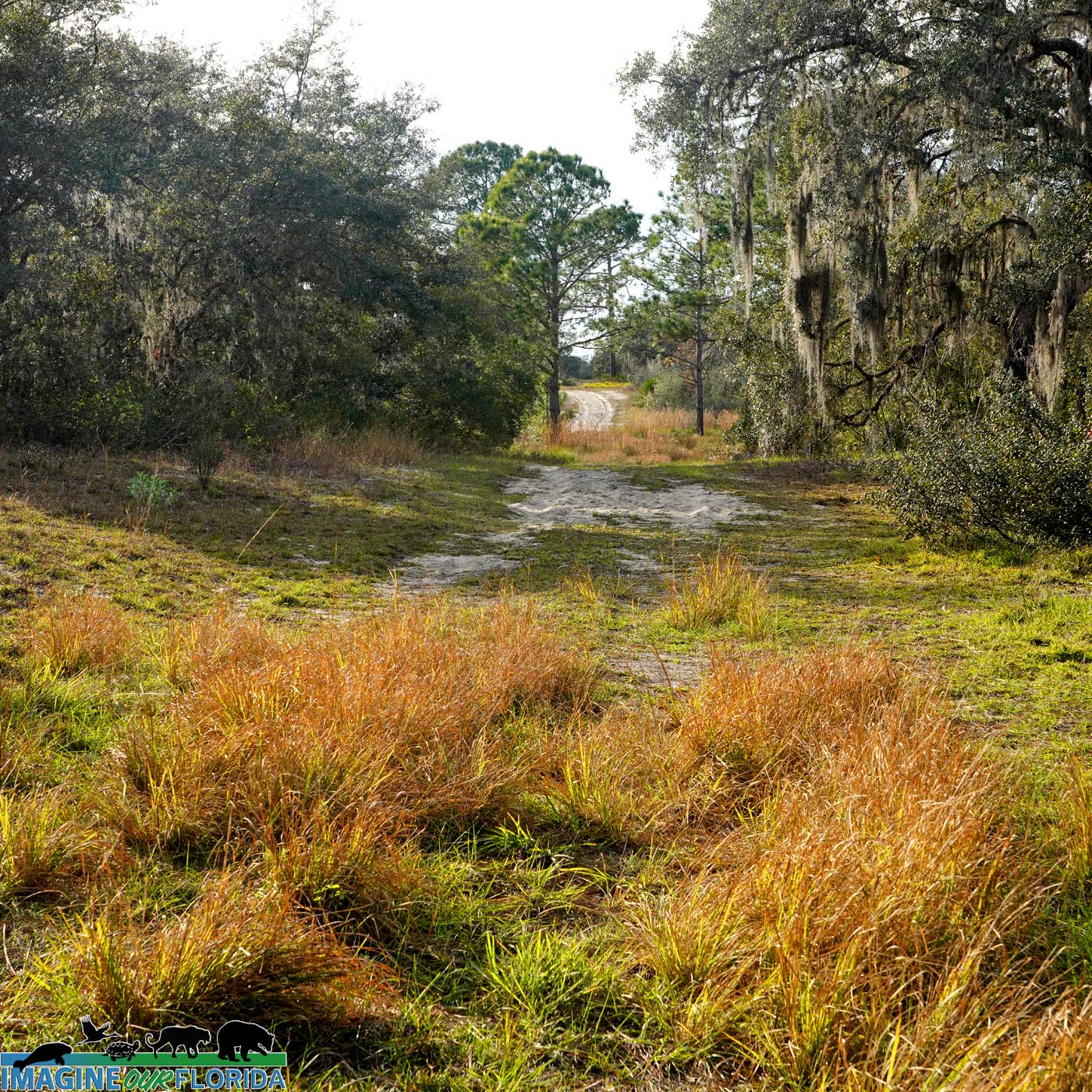
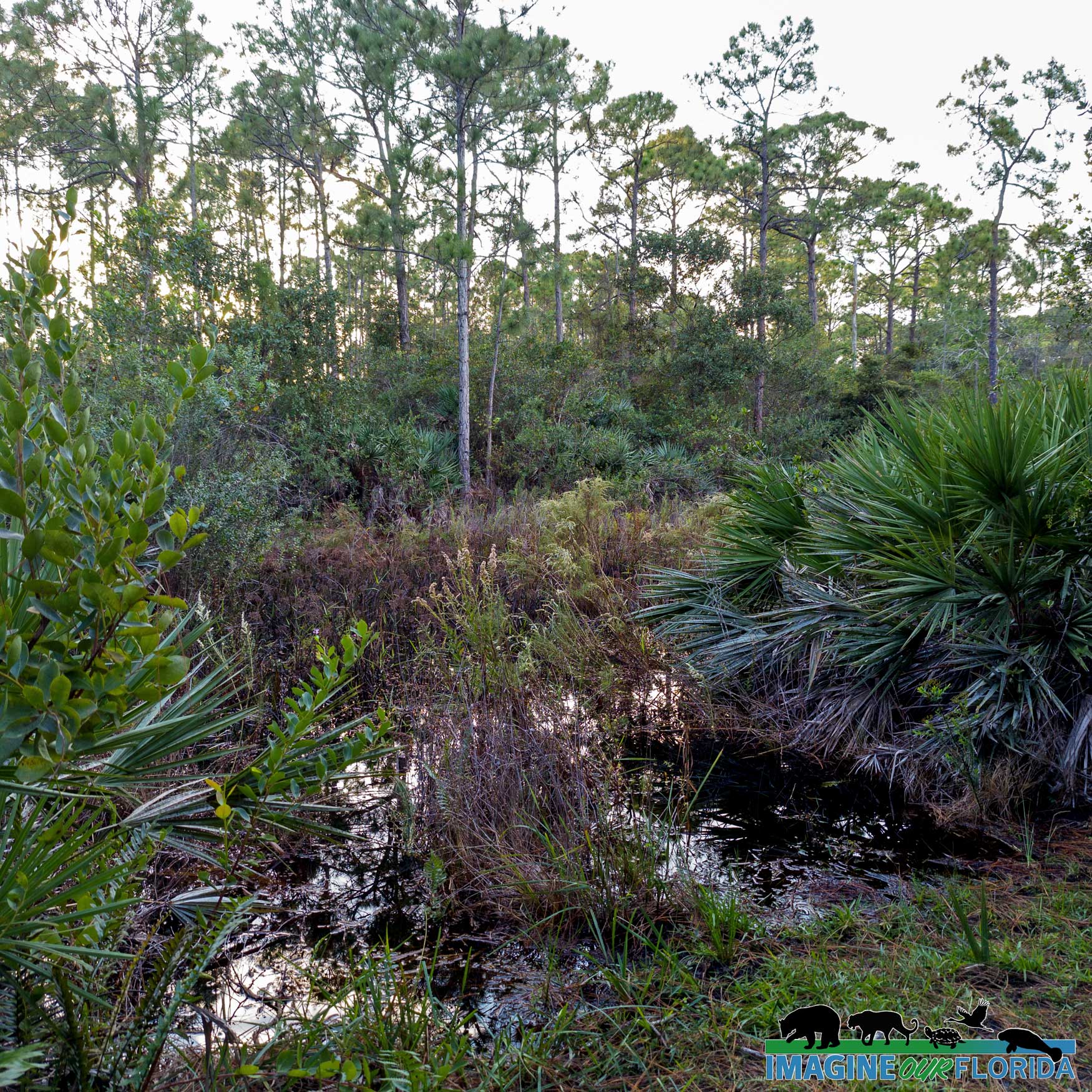
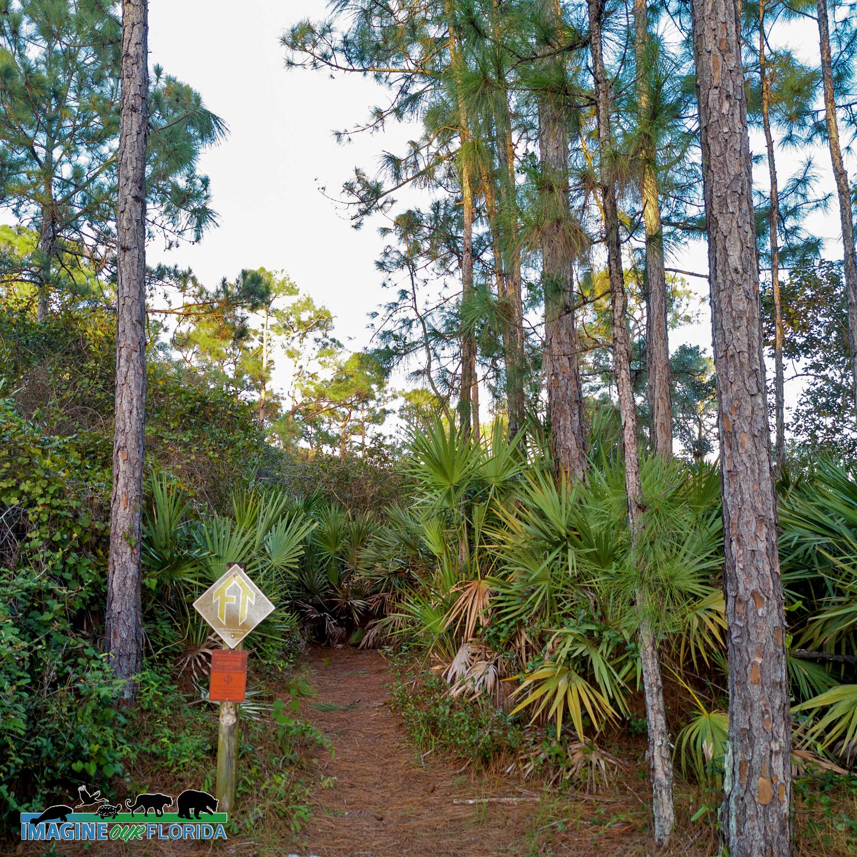
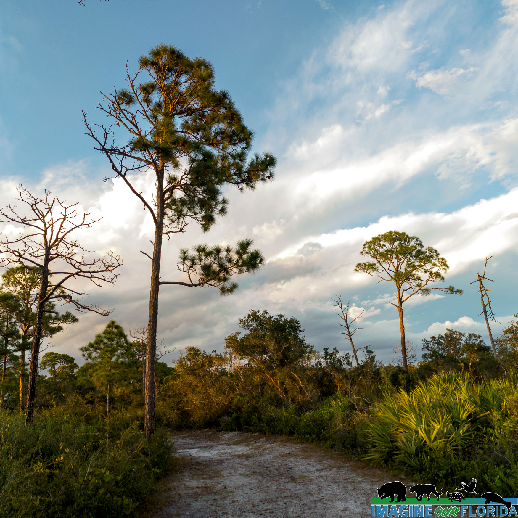
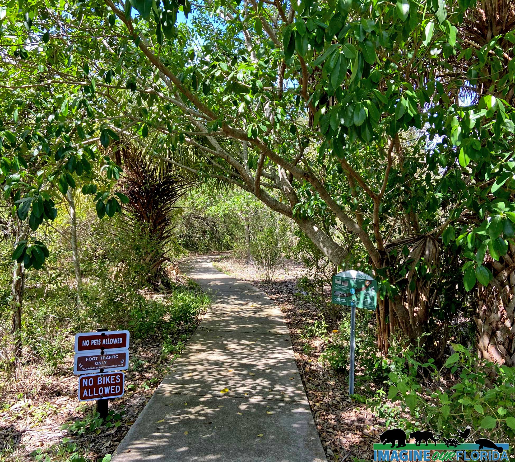
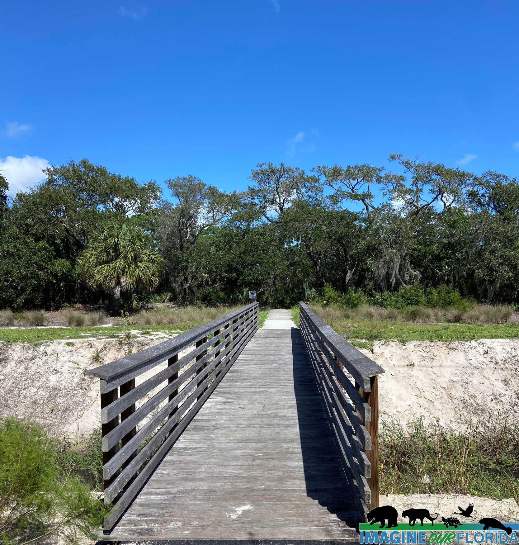
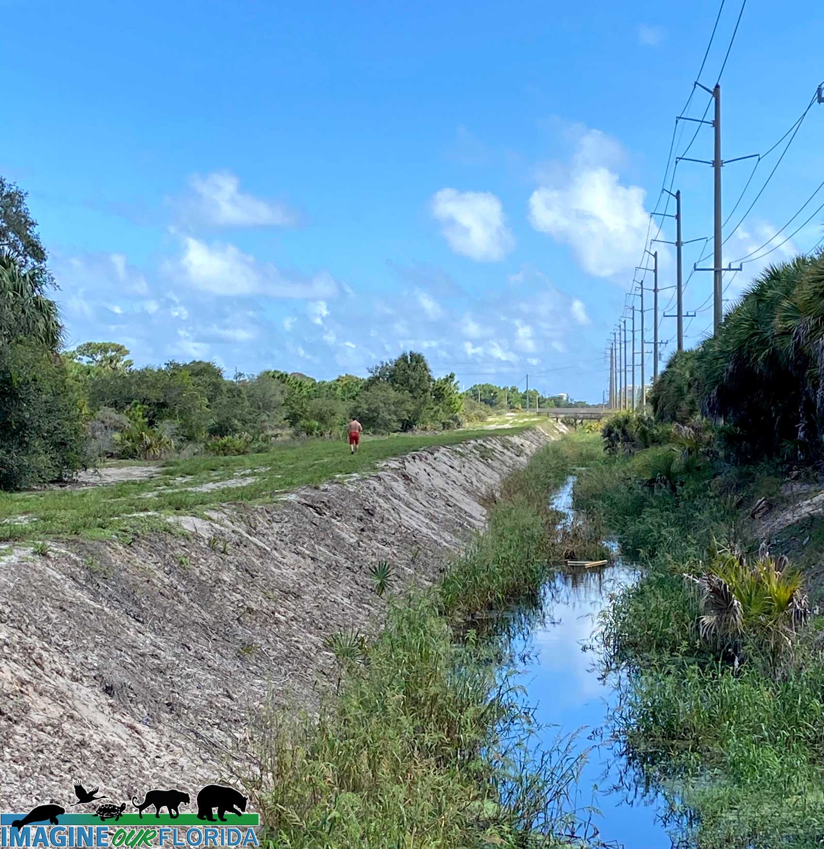
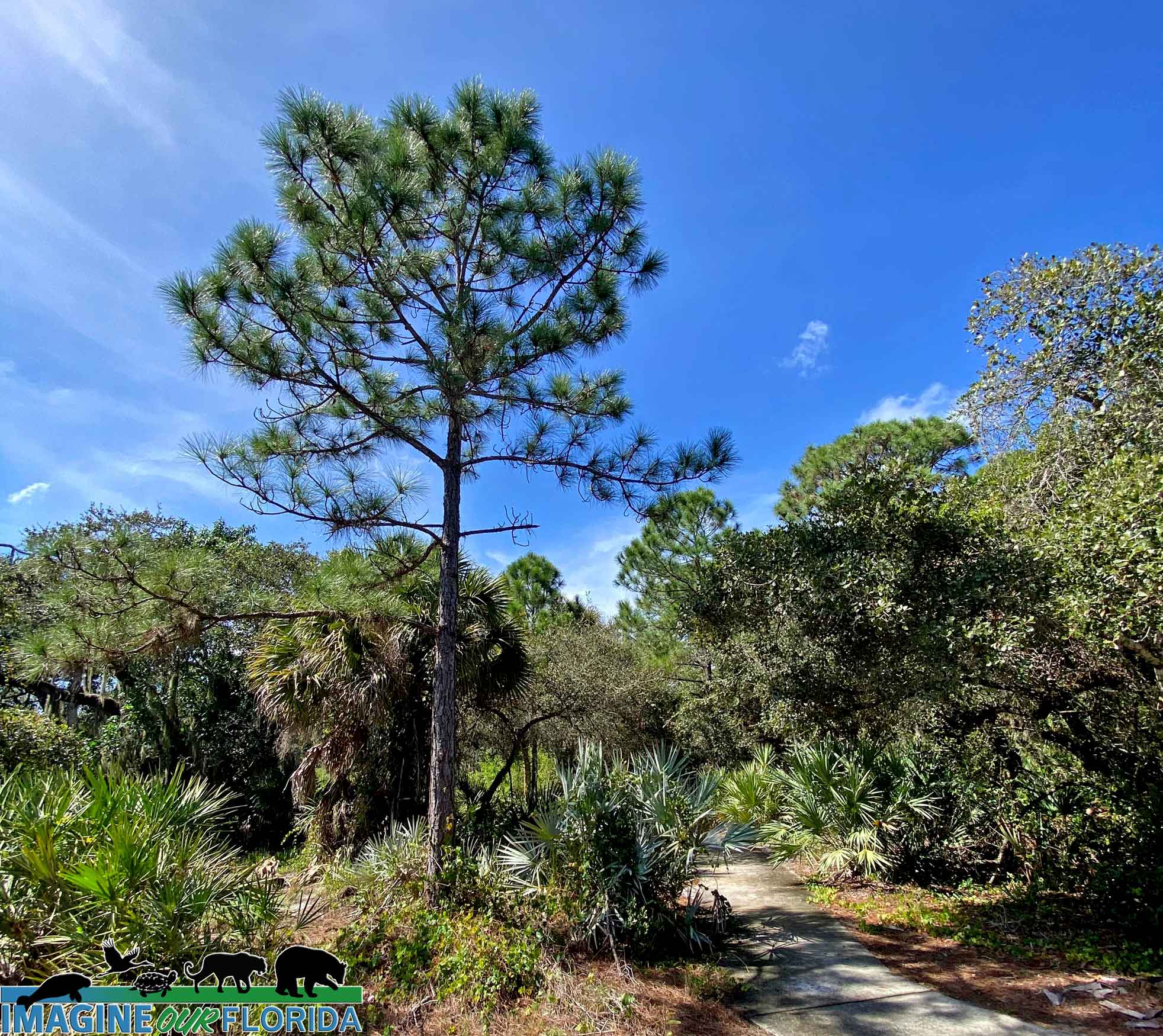
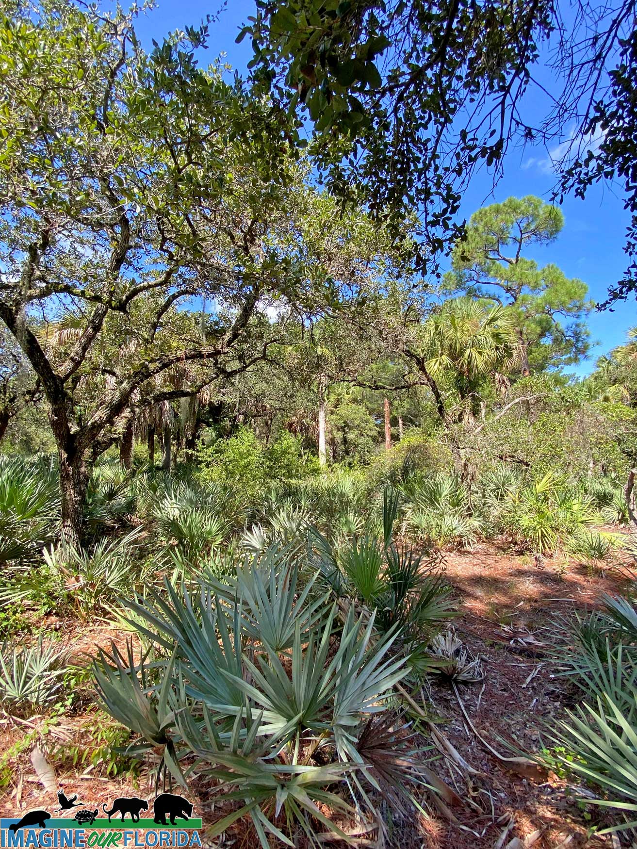
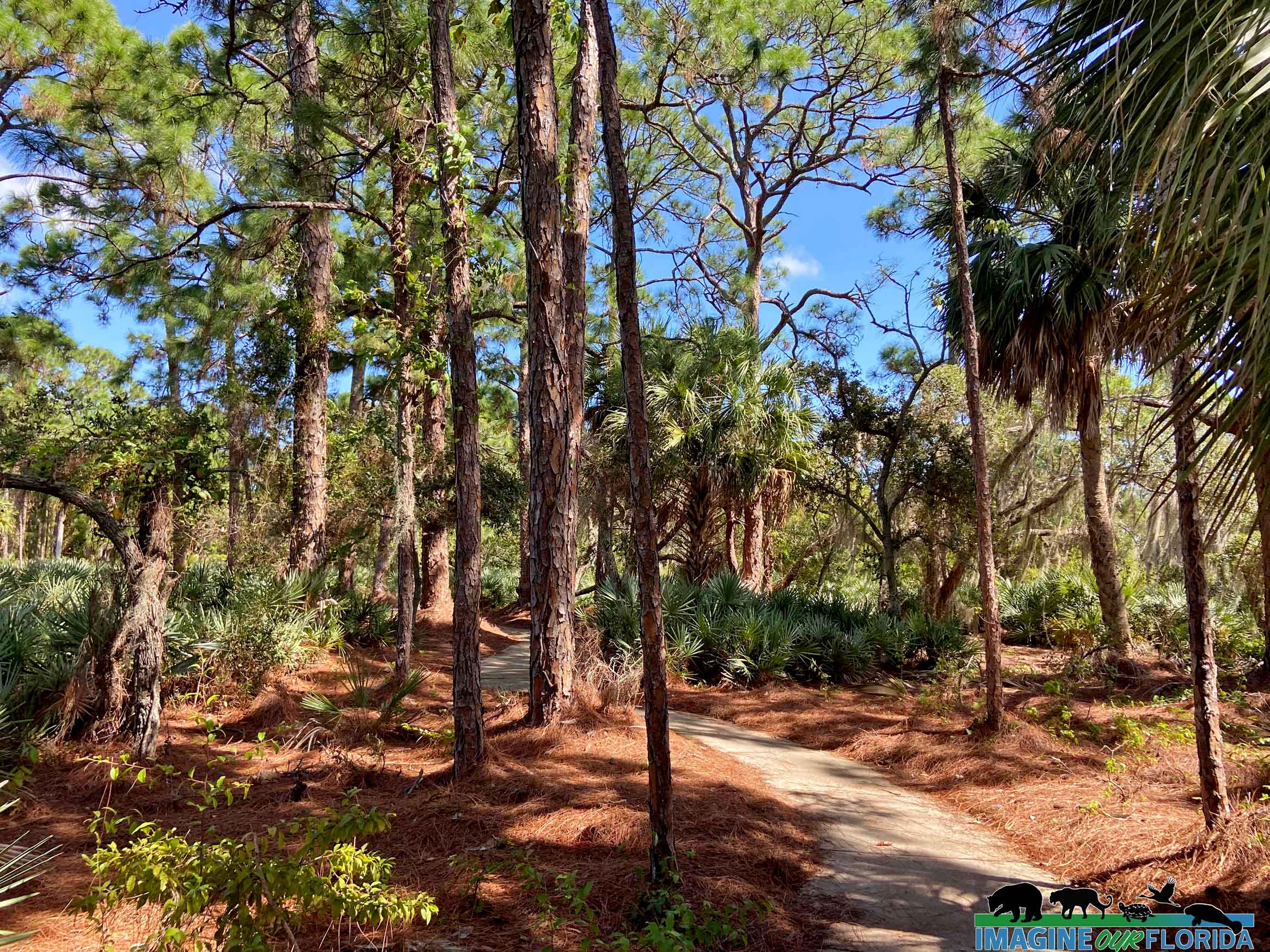
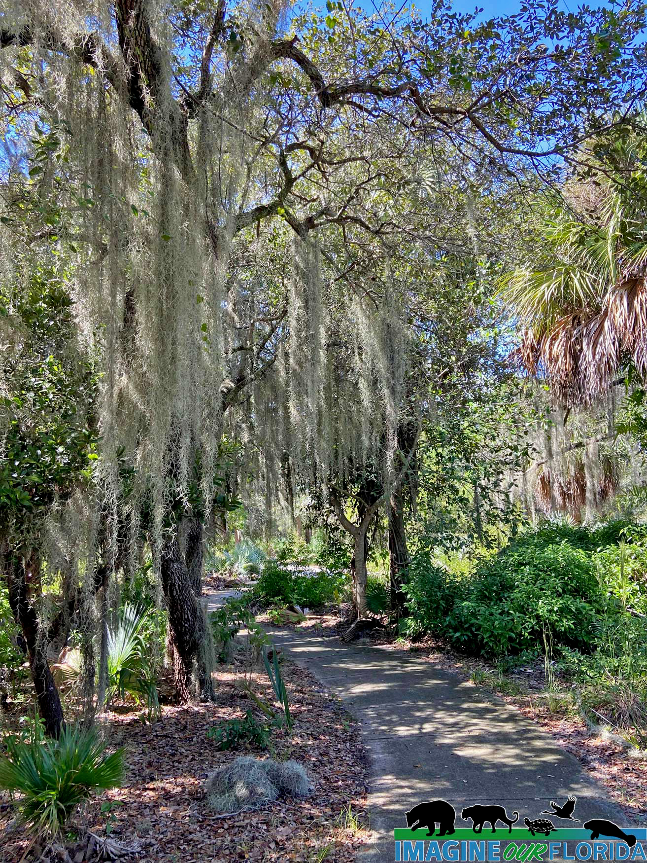
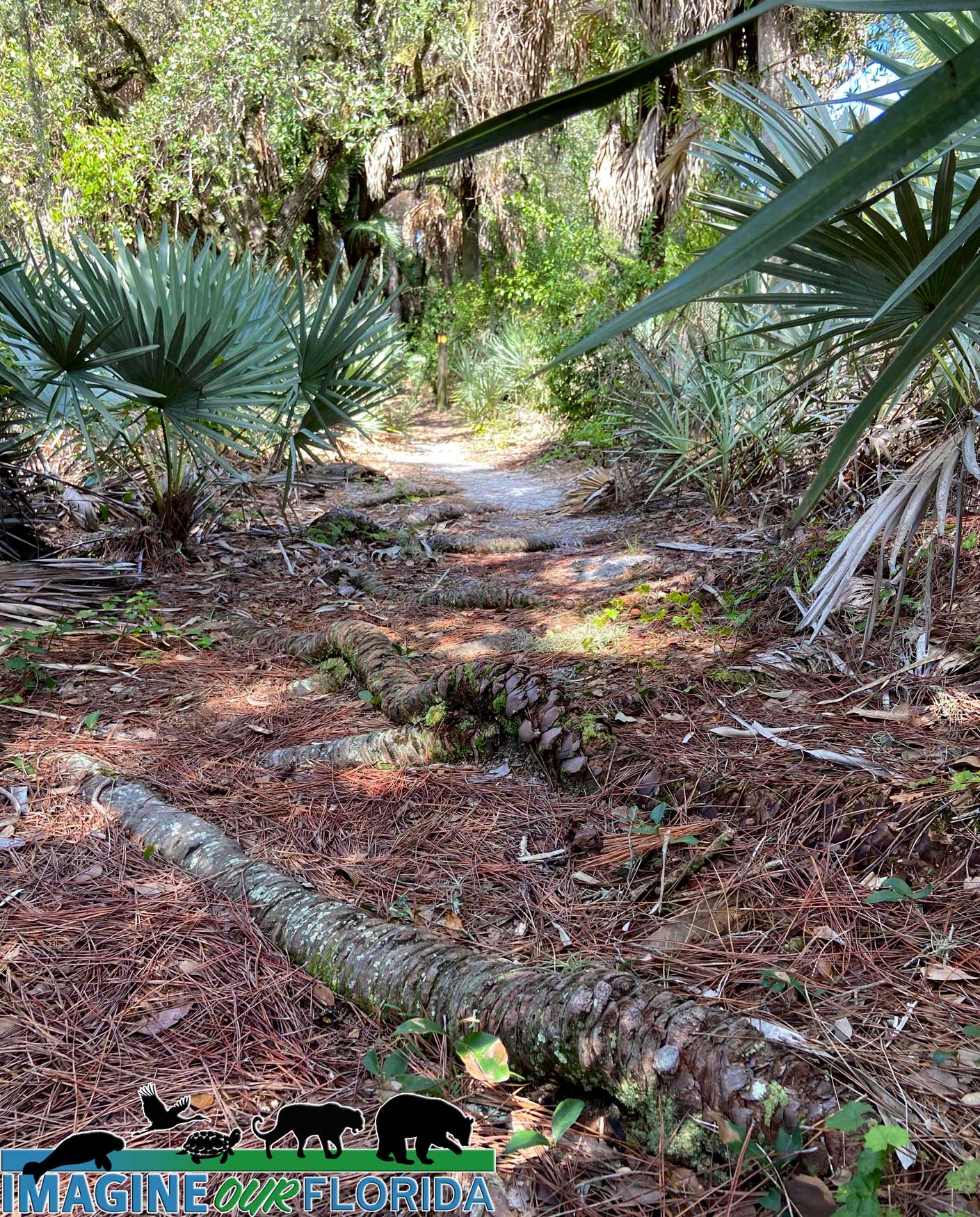
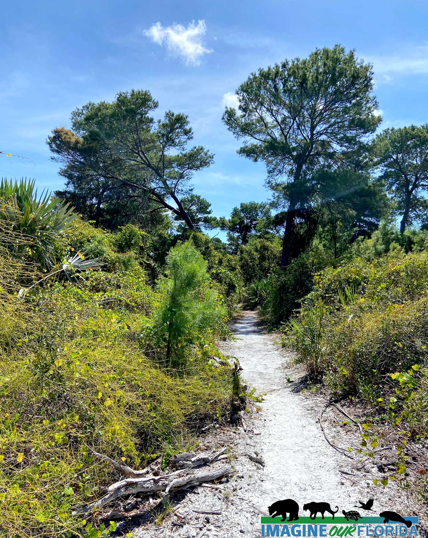
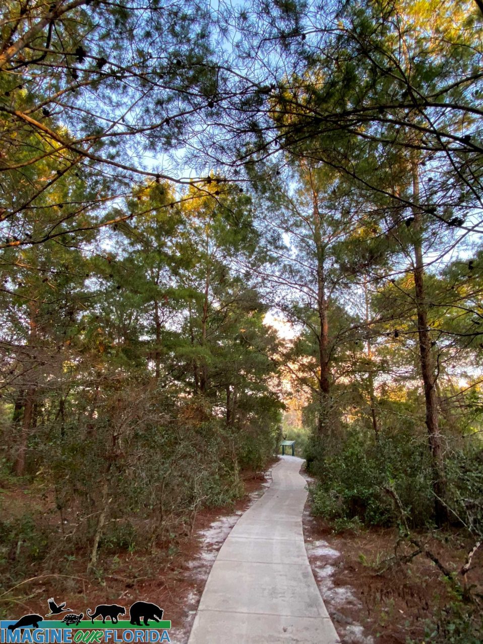
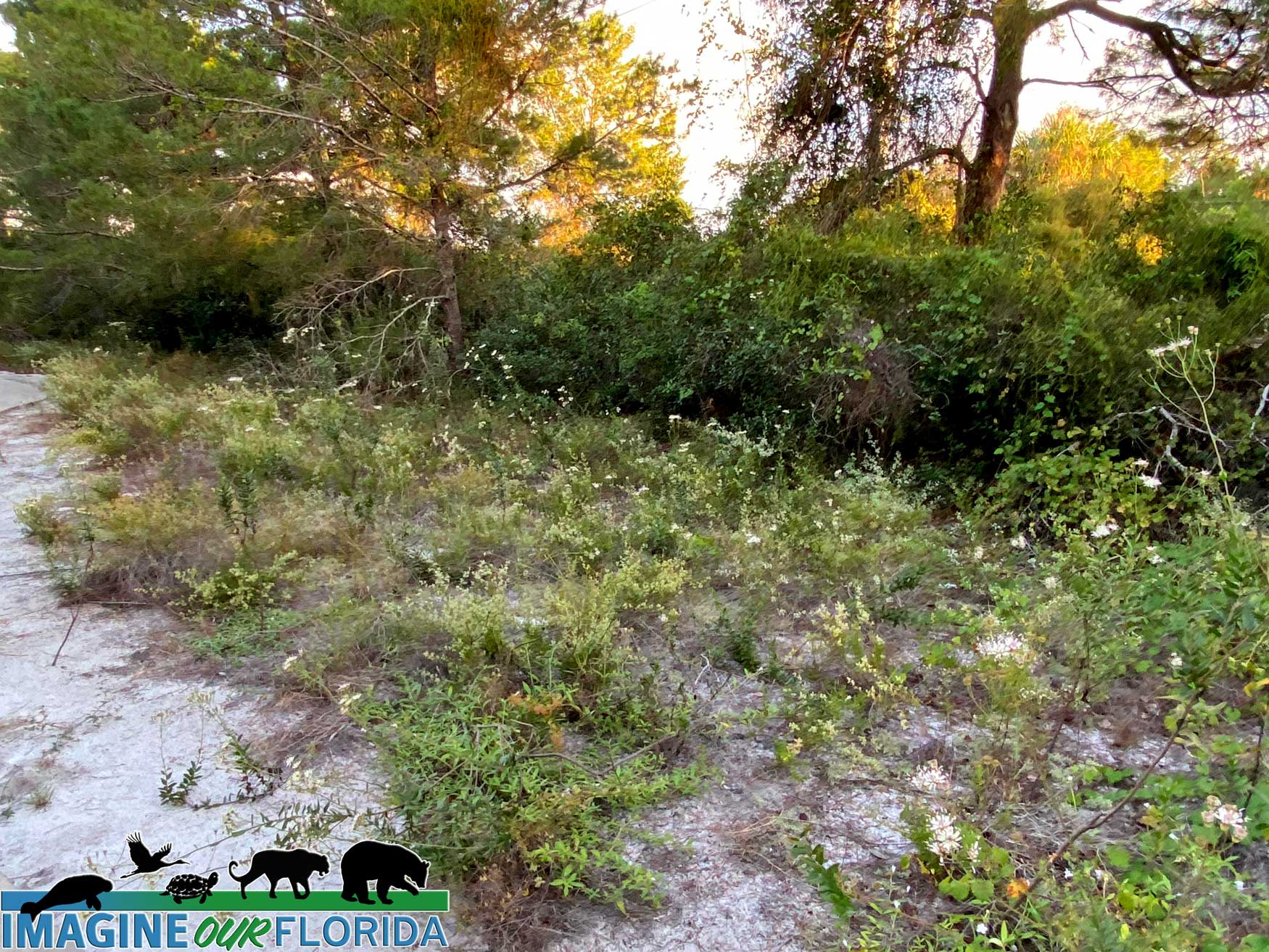
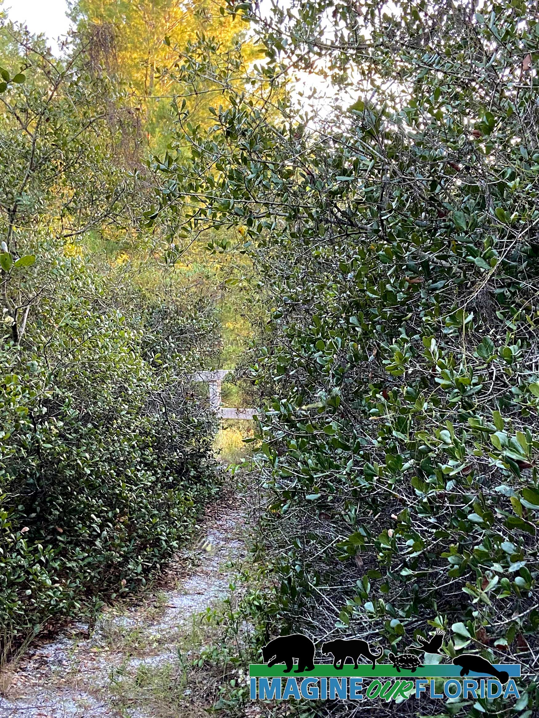
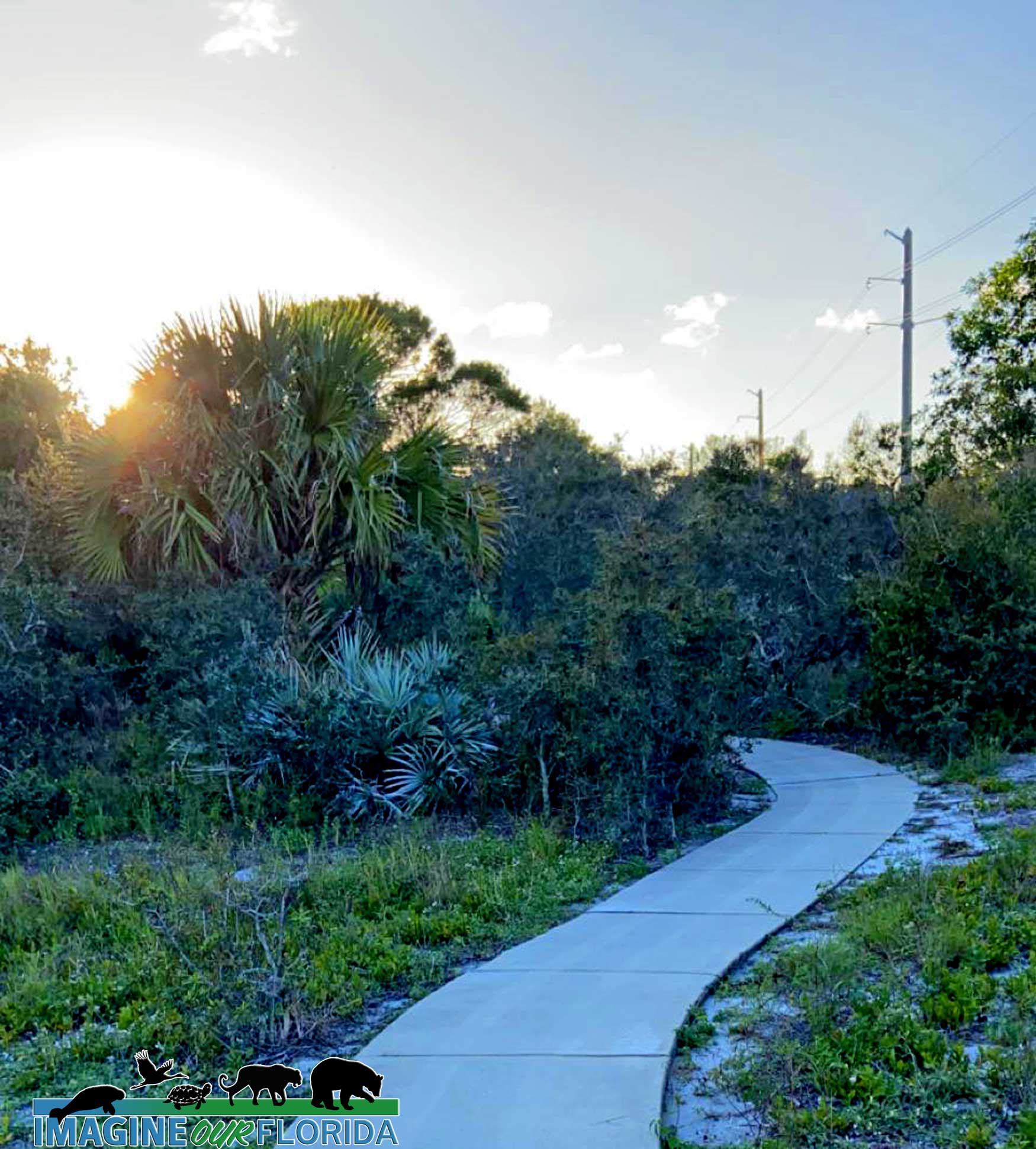
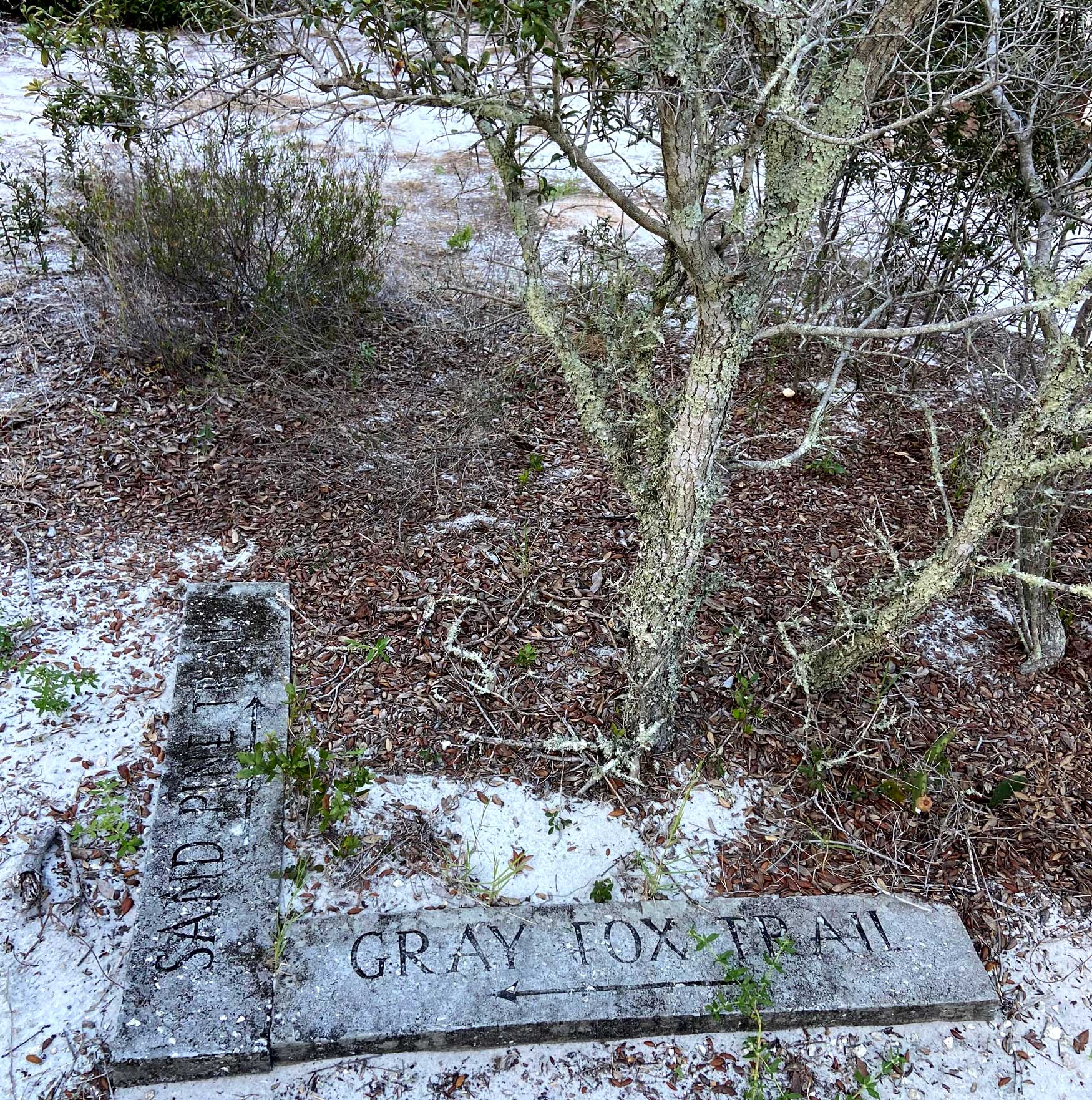
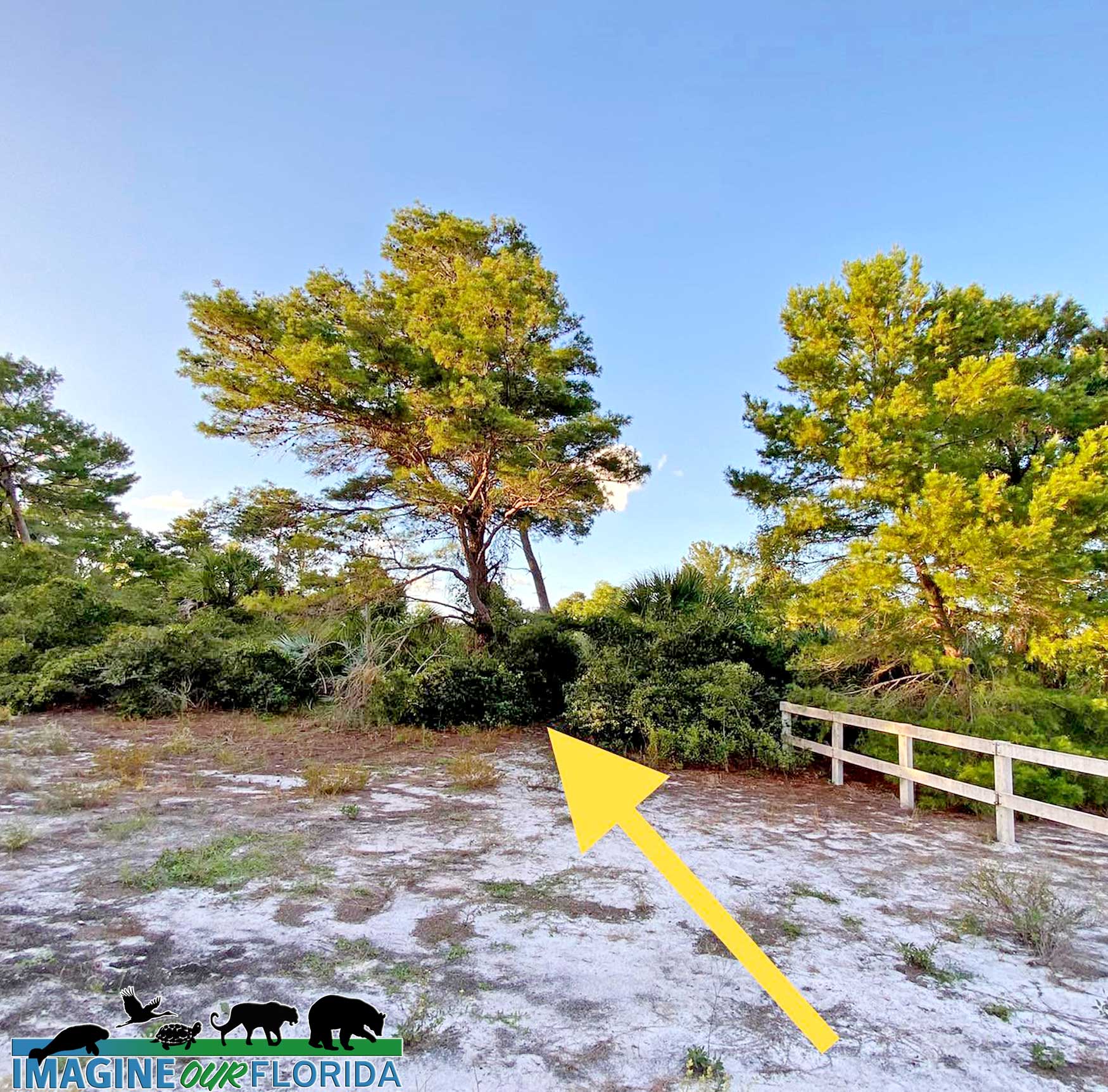
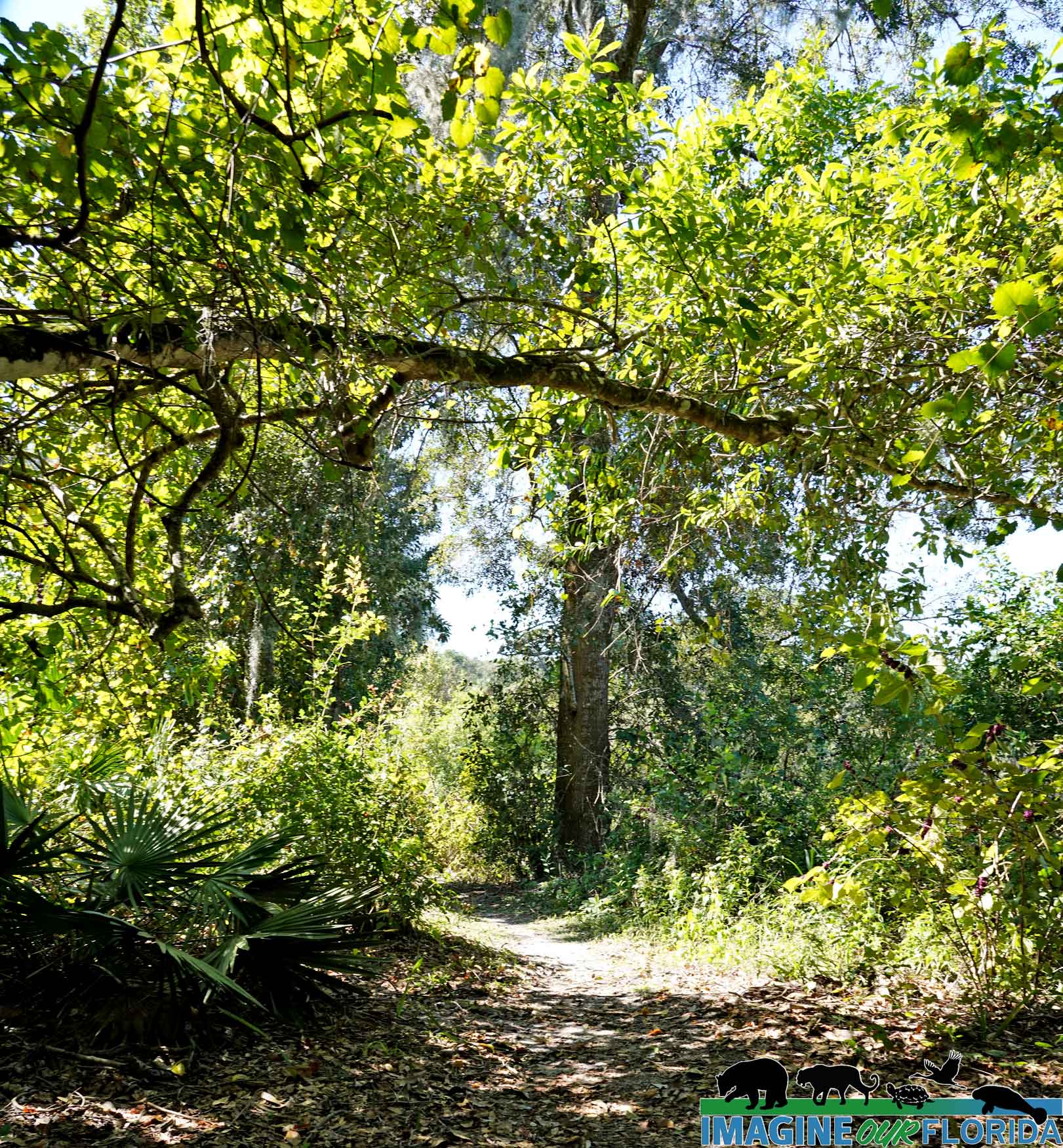
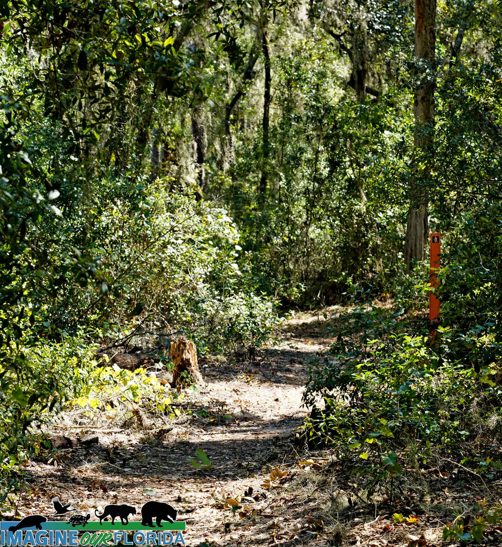
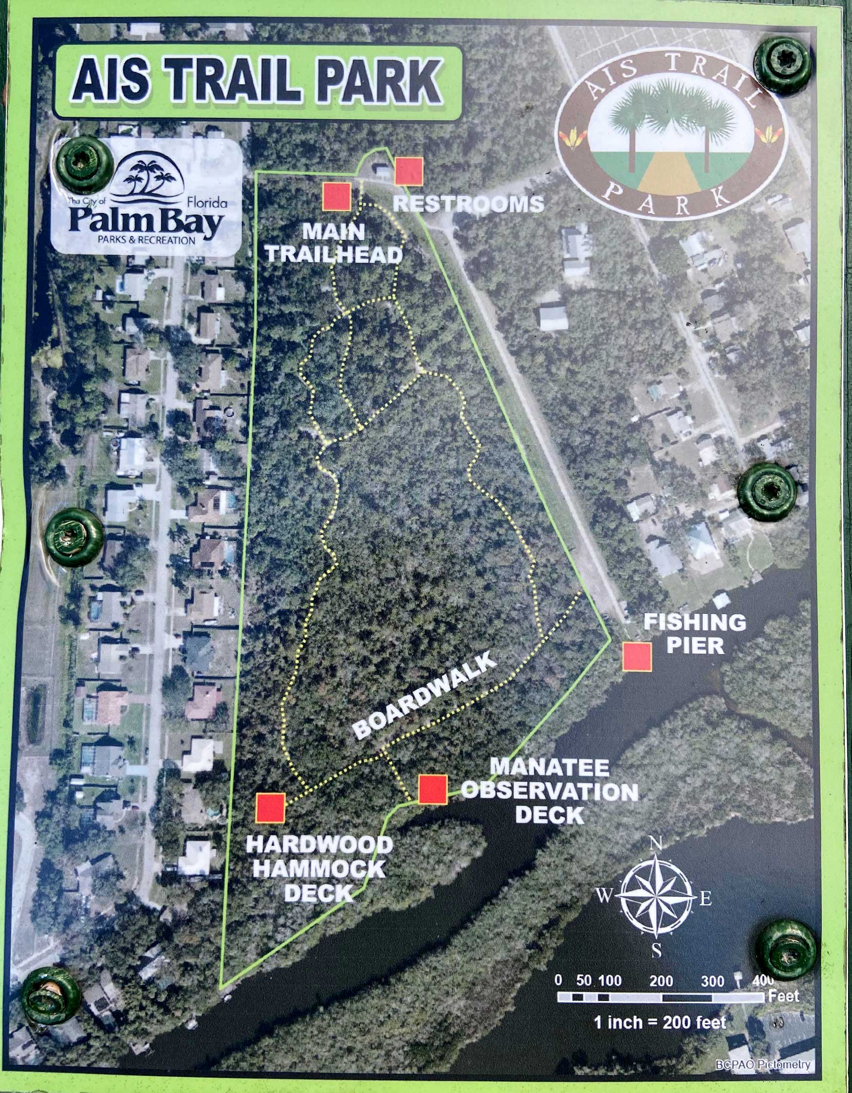
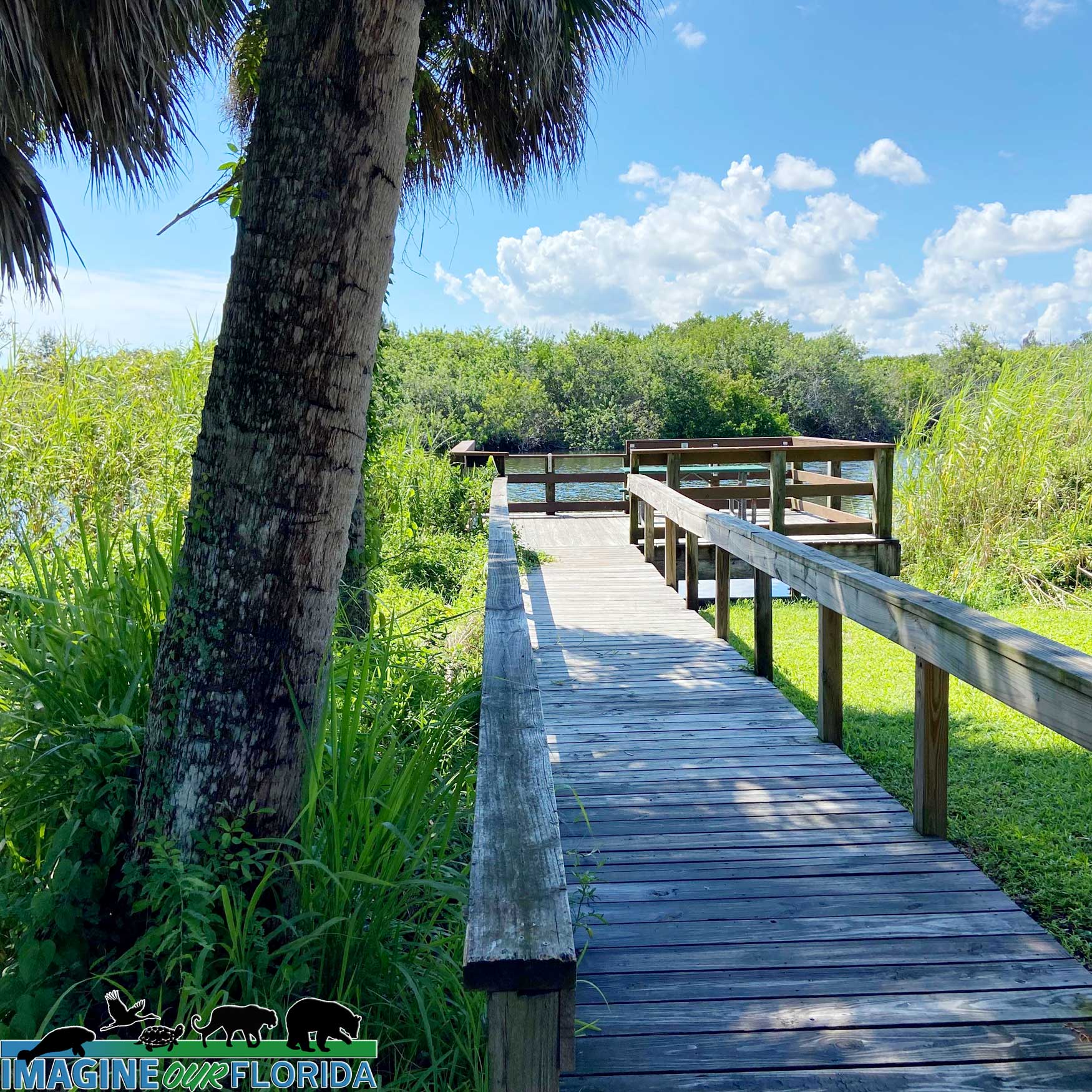
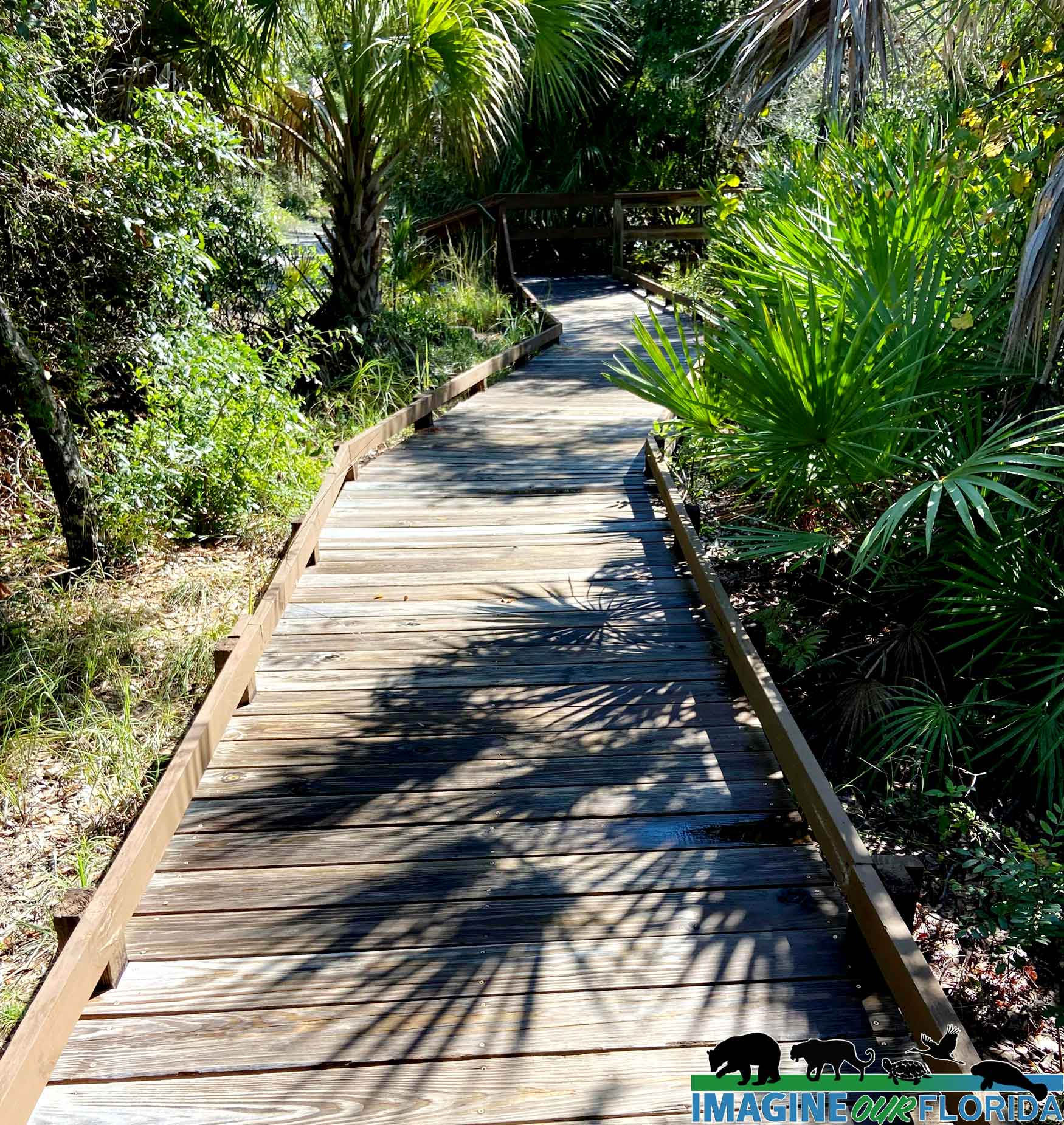
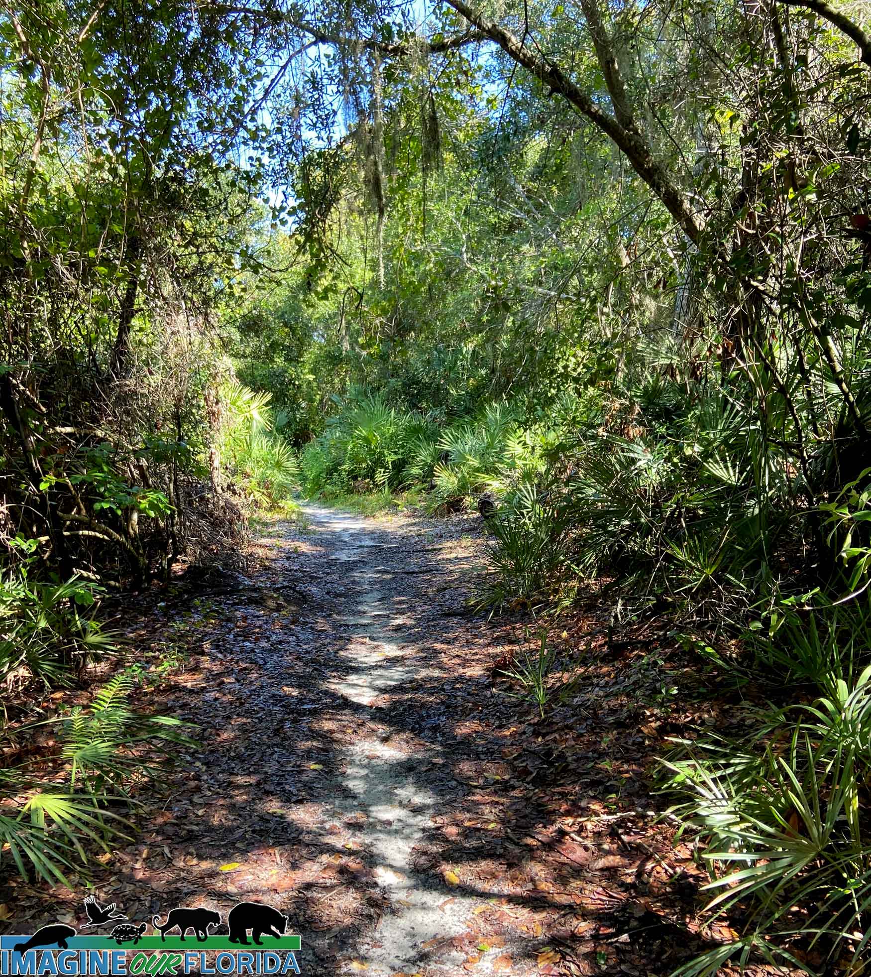
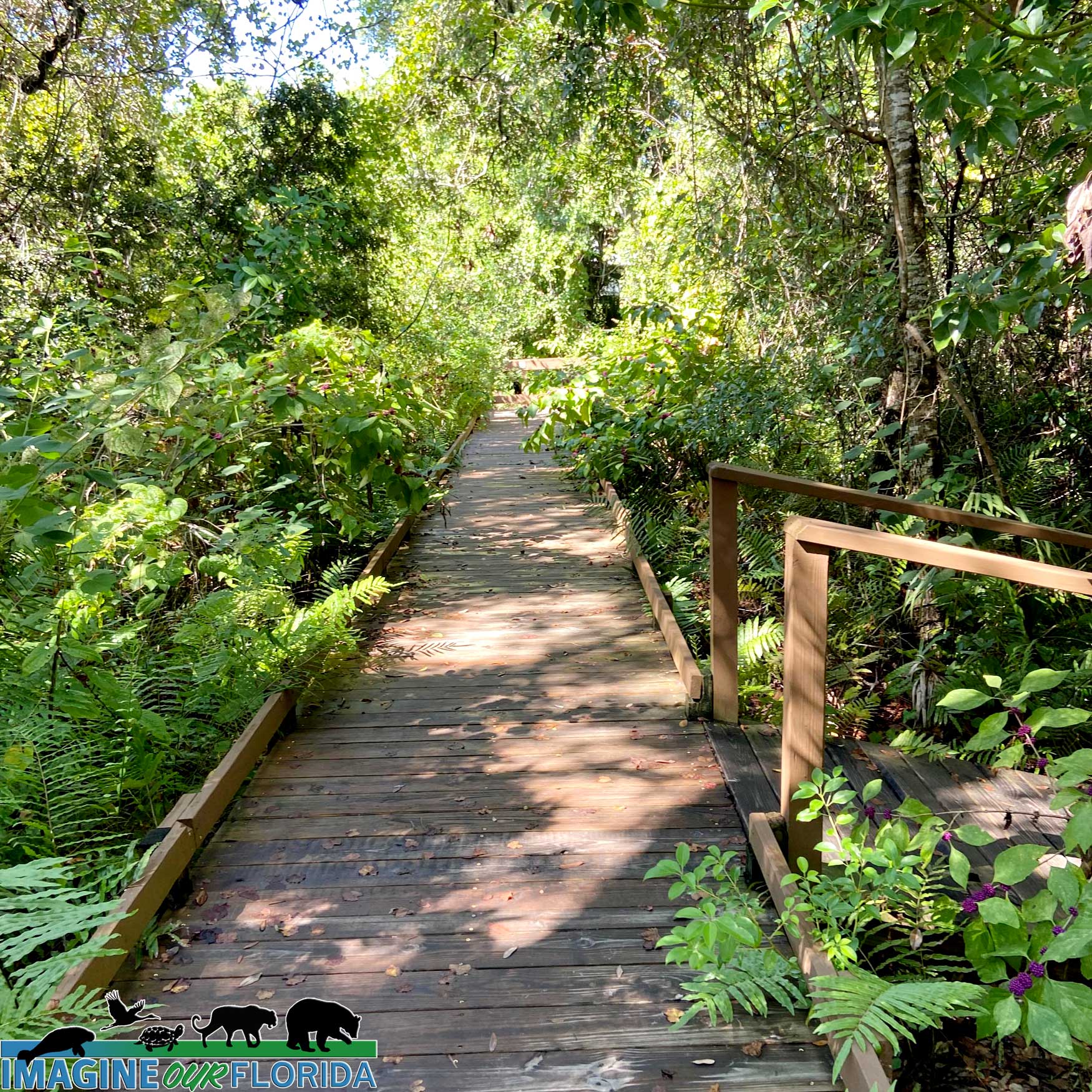
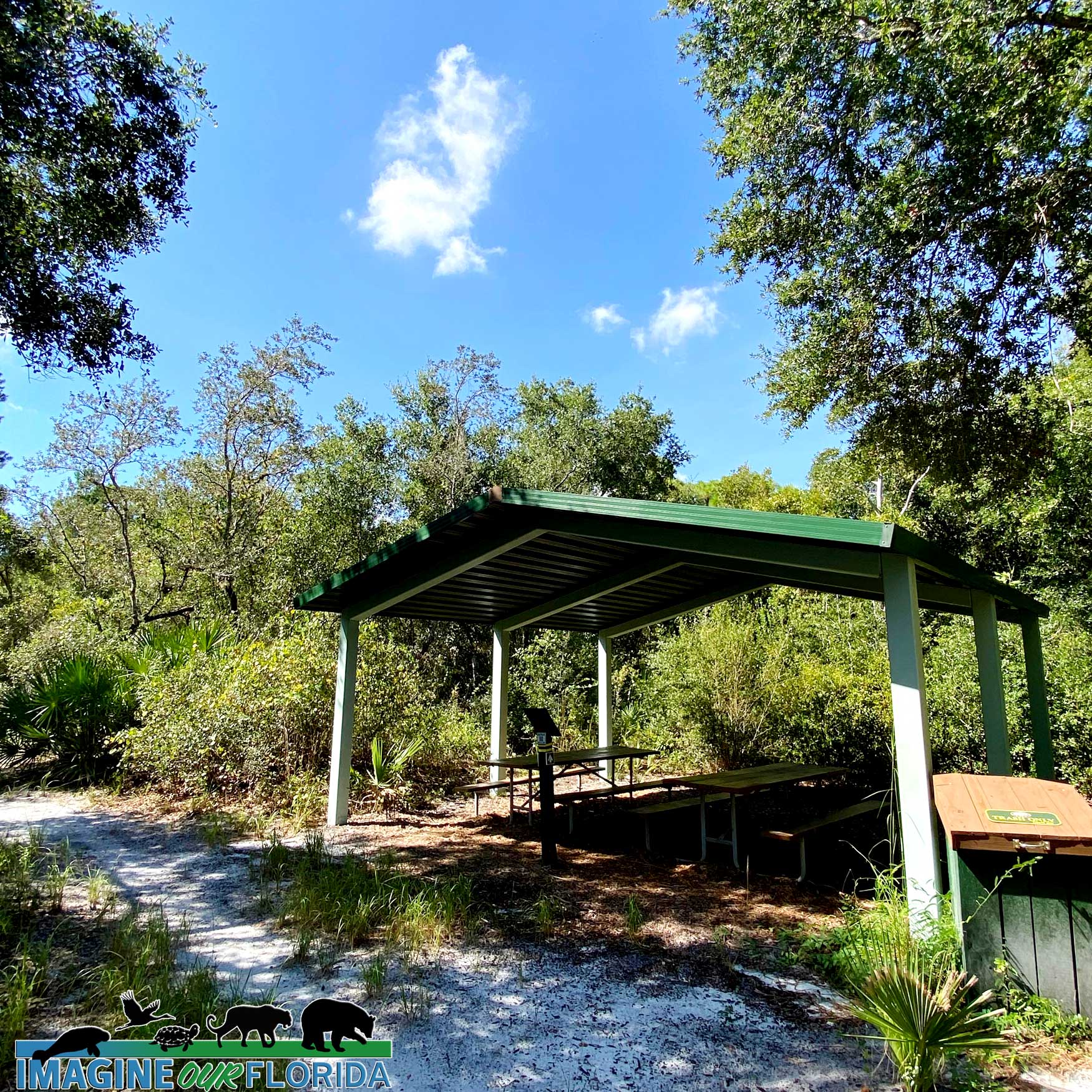
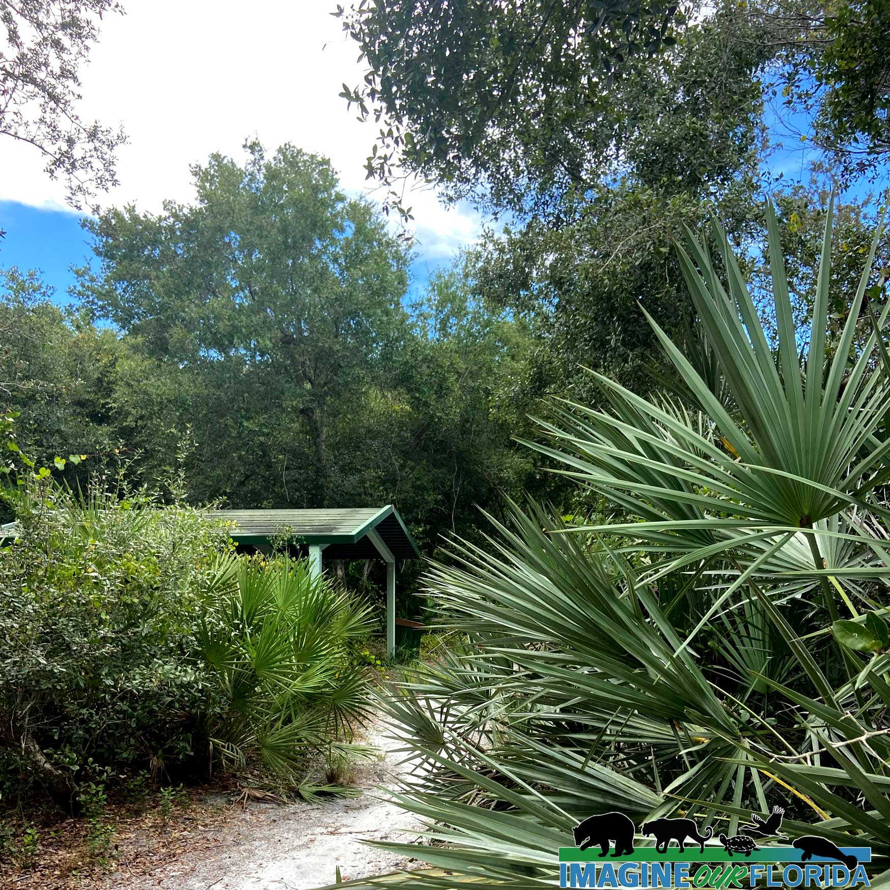
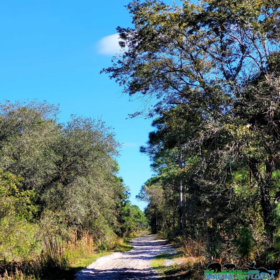
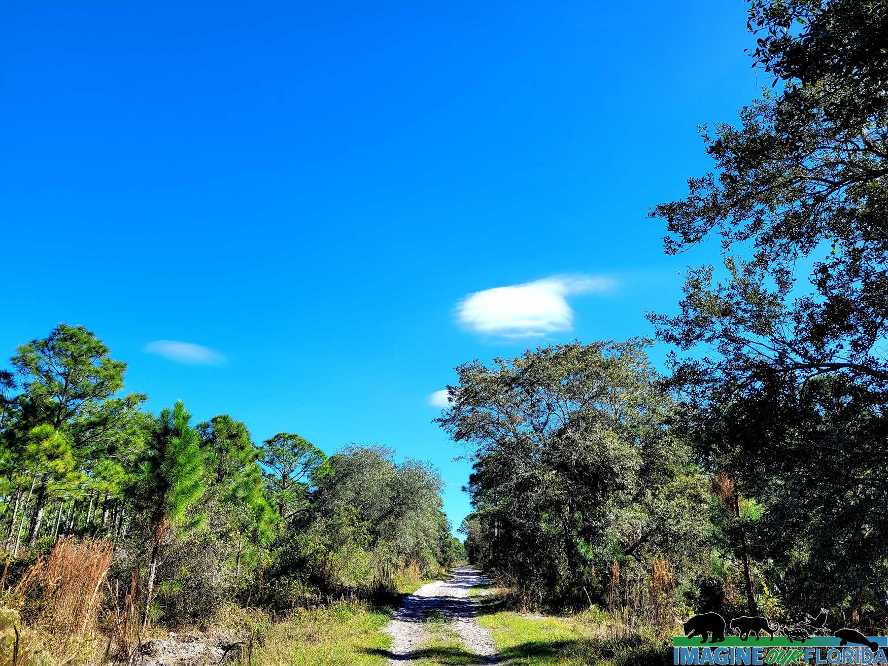
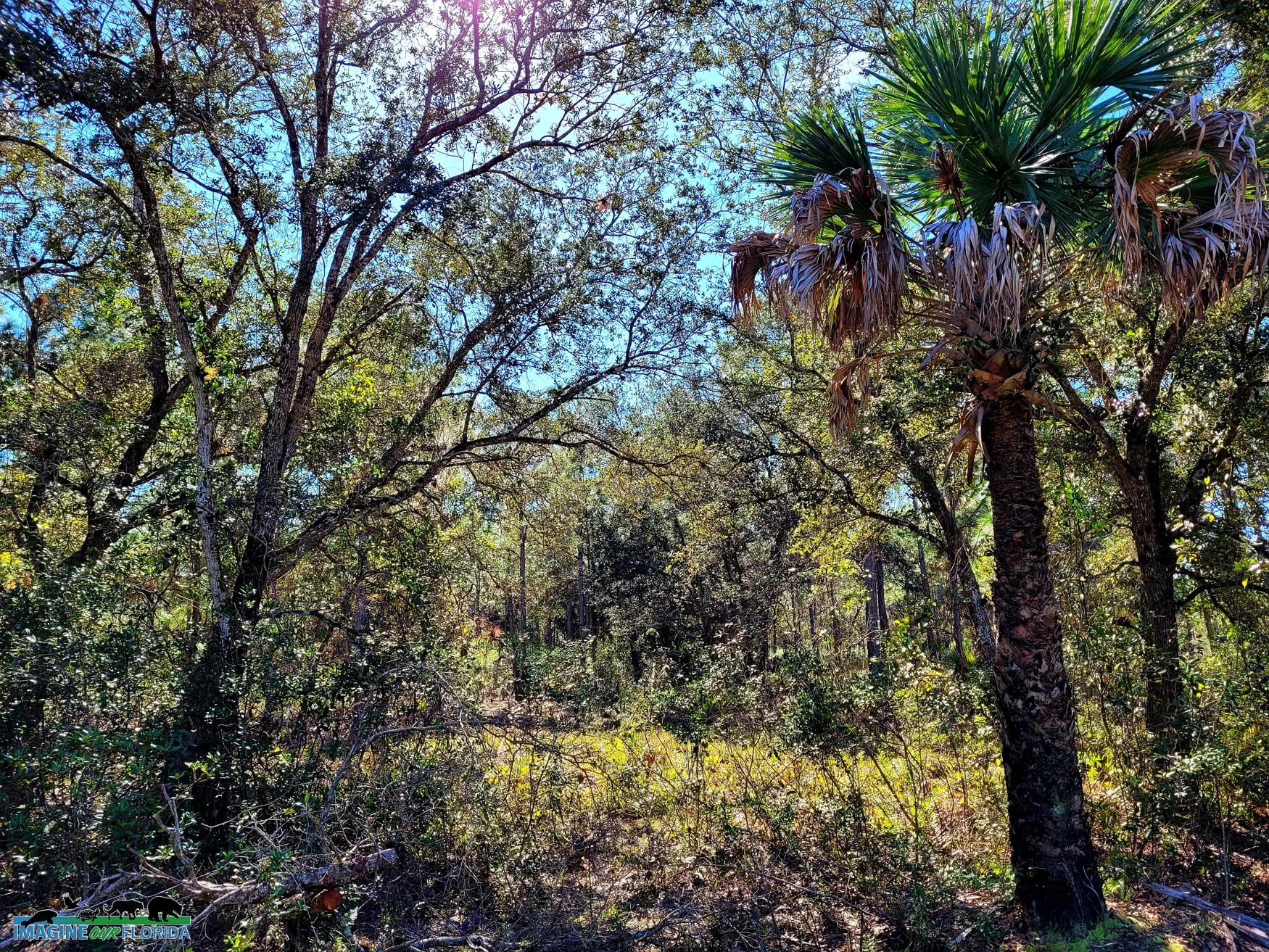
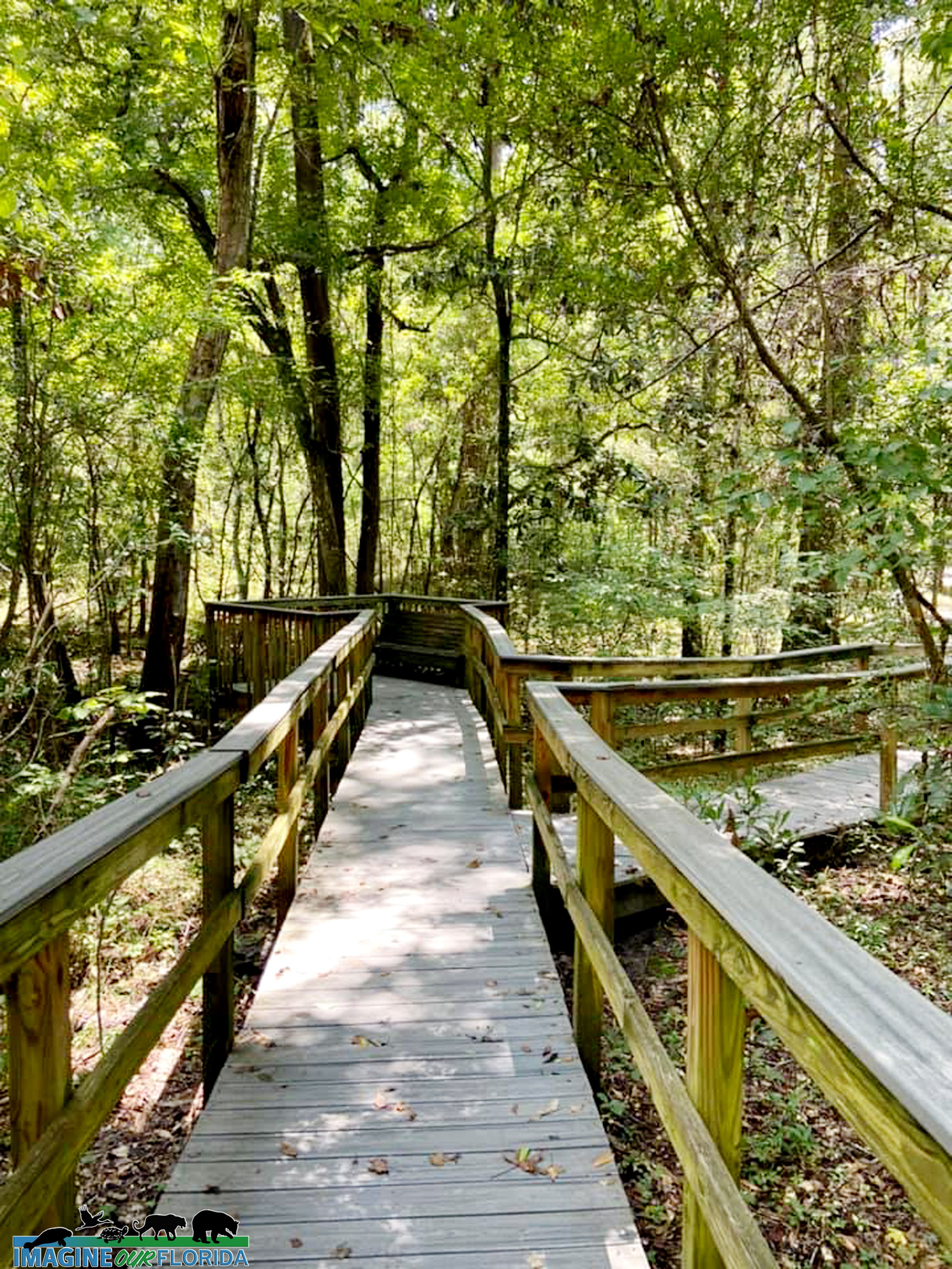
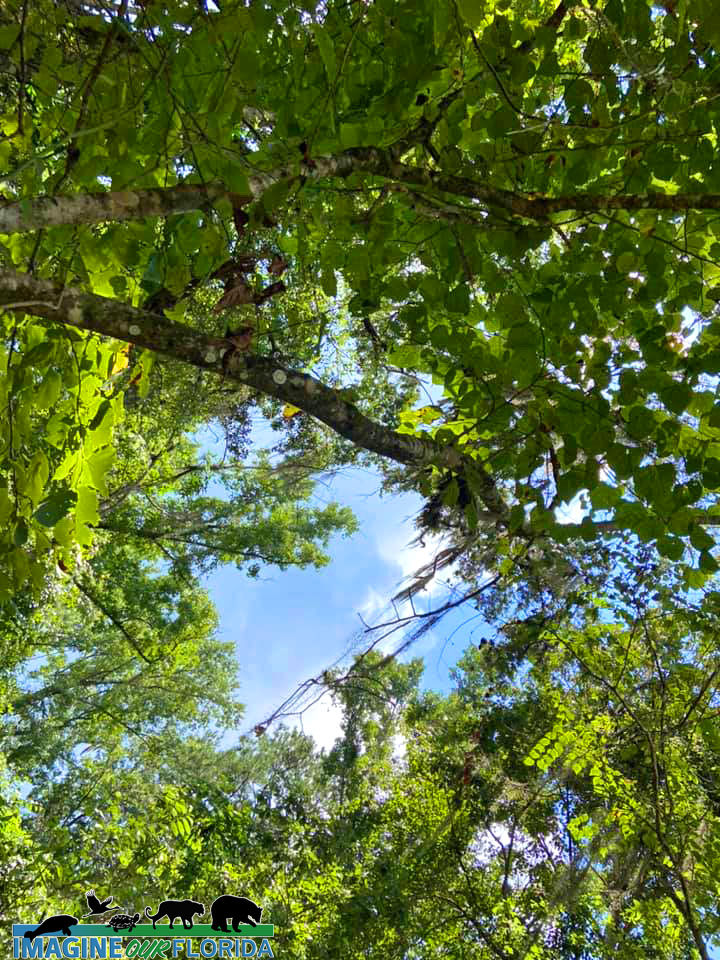
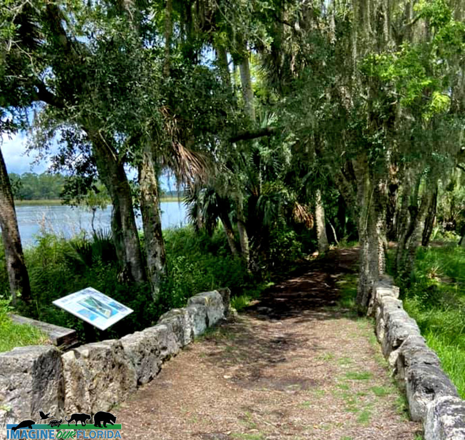
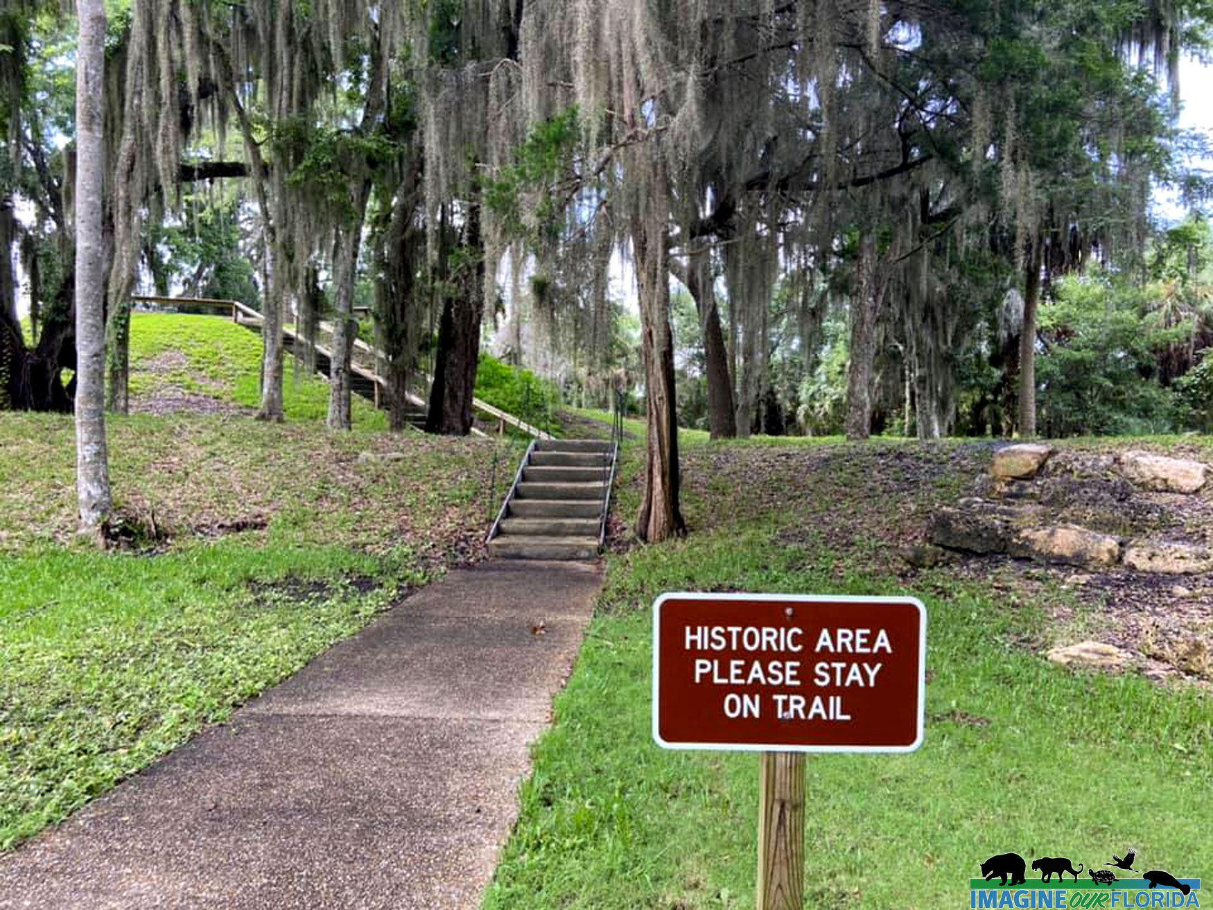
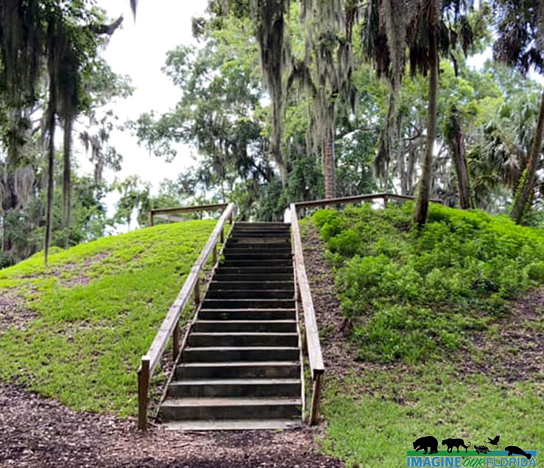
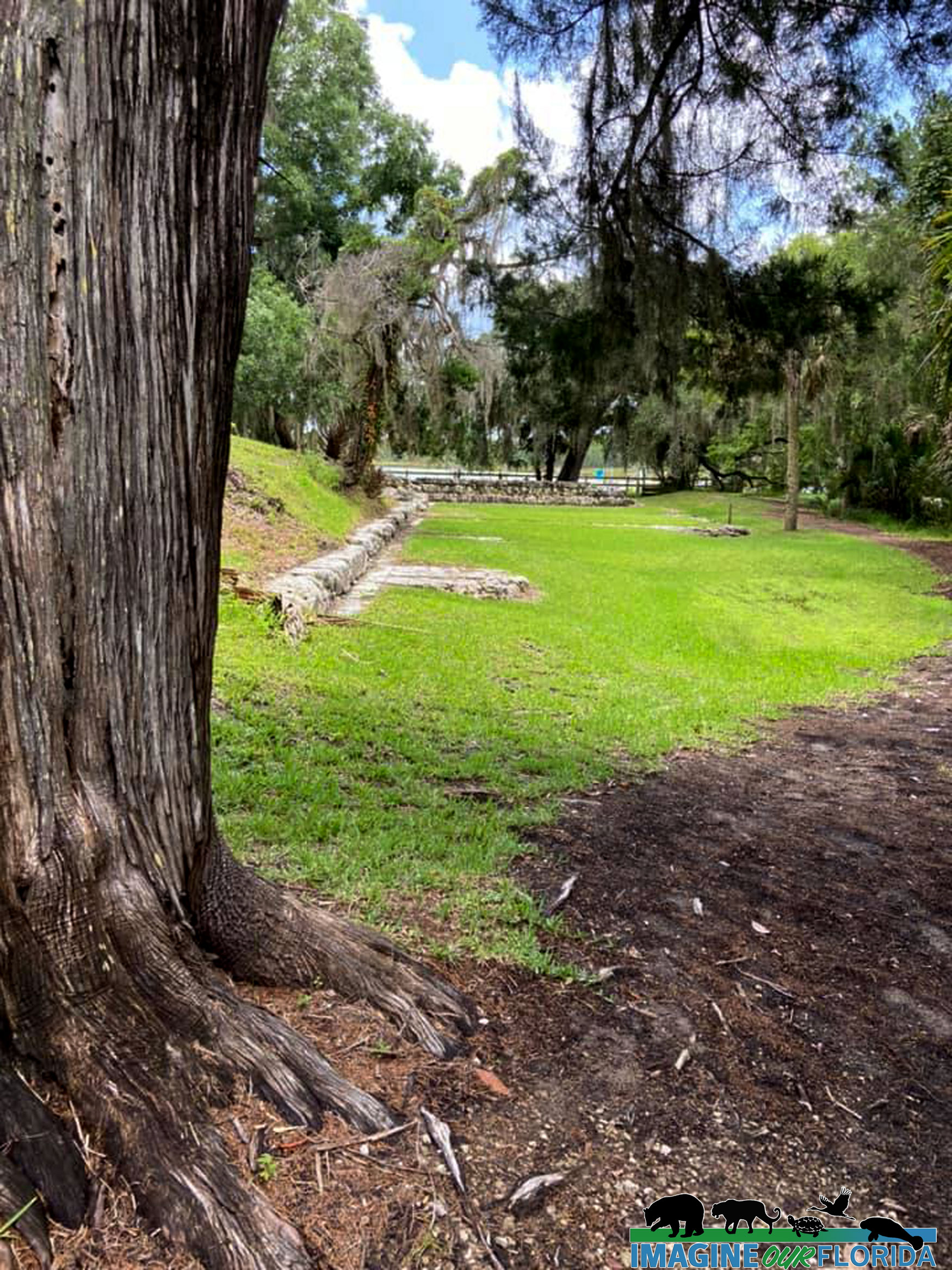
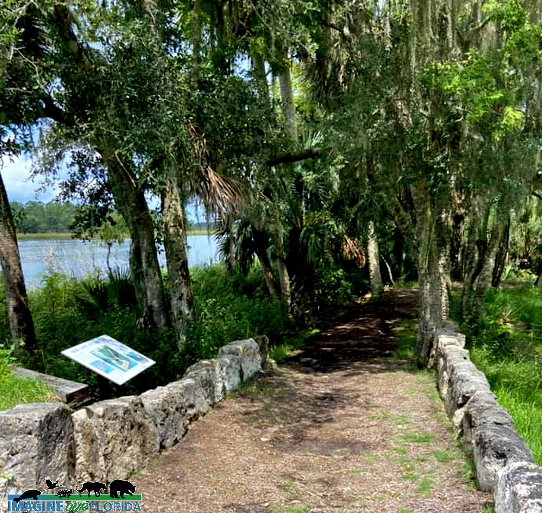
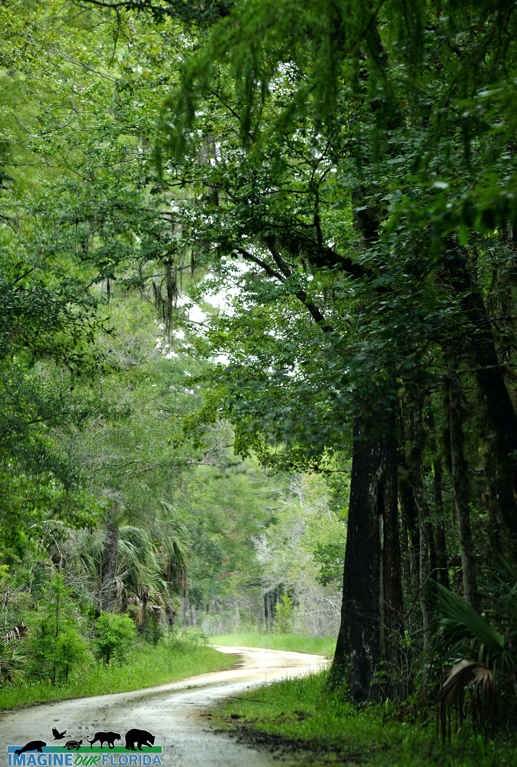
The Lower Suwannee National Wildlife Refuge is teeming with life so it’s no wonder that the most popular activity is wildlife viewing. Drive slowly through Main Loop Road, an easy ride over lime rock. Hiking is permitted in all public areas of the refuge. Bicycling is permitted in designated areas. The River Trail is shaded and leads to the Suwanee River. The Dixie Mainline and Nature Drive Trails wind through uplands, swamps, and tidal creeks before reaching the coast. There are boardwalks, foot trails, observation decks, archaeological sites, and paddling trails in the refuge.
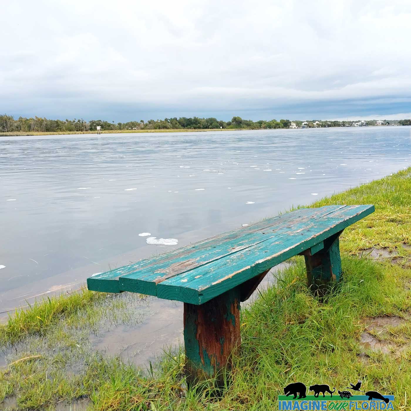
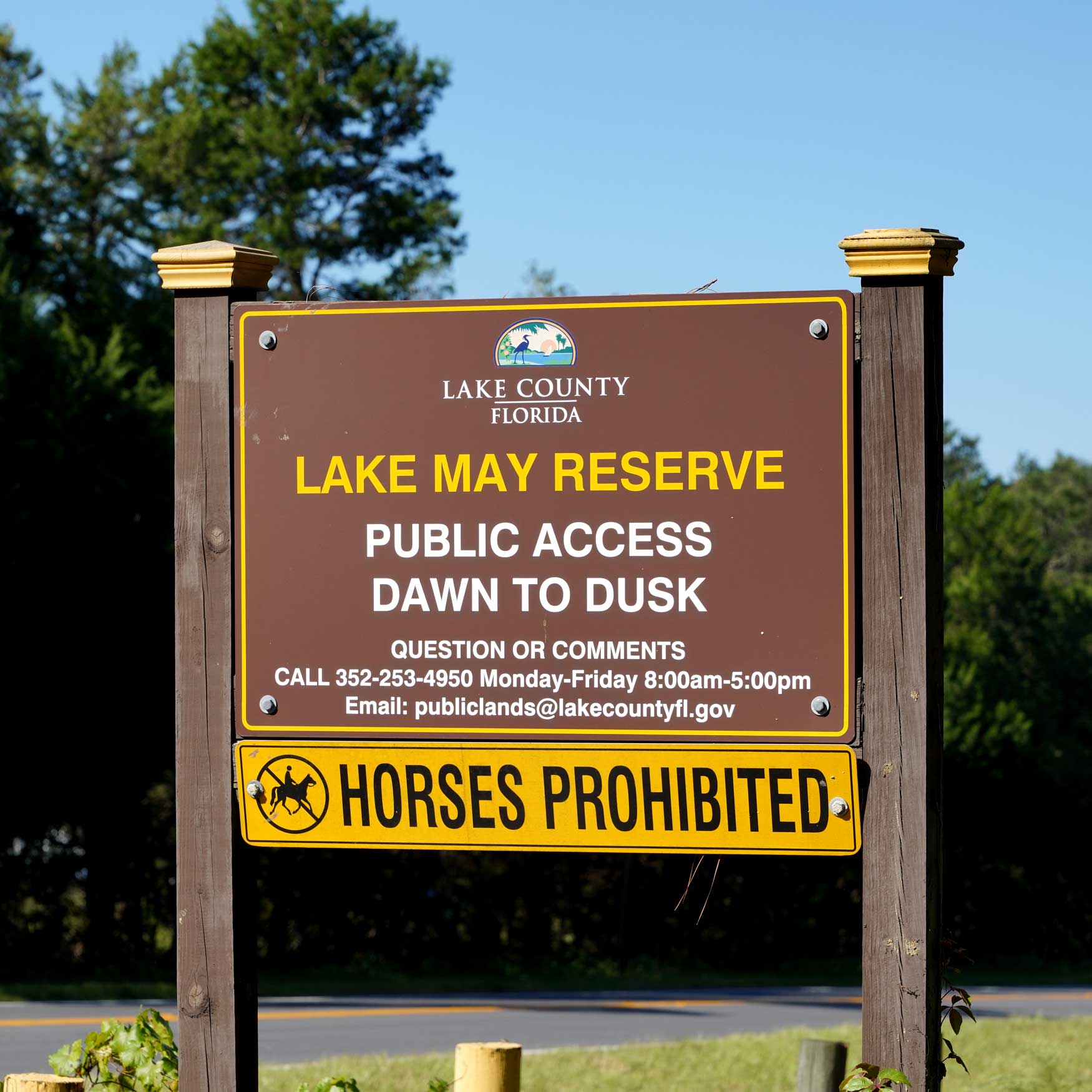
Open from sunrise to sunset, the Lower Suwannee National Wildlife Refuge is waiting to be explored. Plan a day with your leashed dog and let us know what you discover.
For more information including maps and seasonal information: https://www.fws.gov/refuge/Lower_Suwannee/
Photo Credit: Dan Kon, Nancy Kon, Andy Waldo


 wa
wa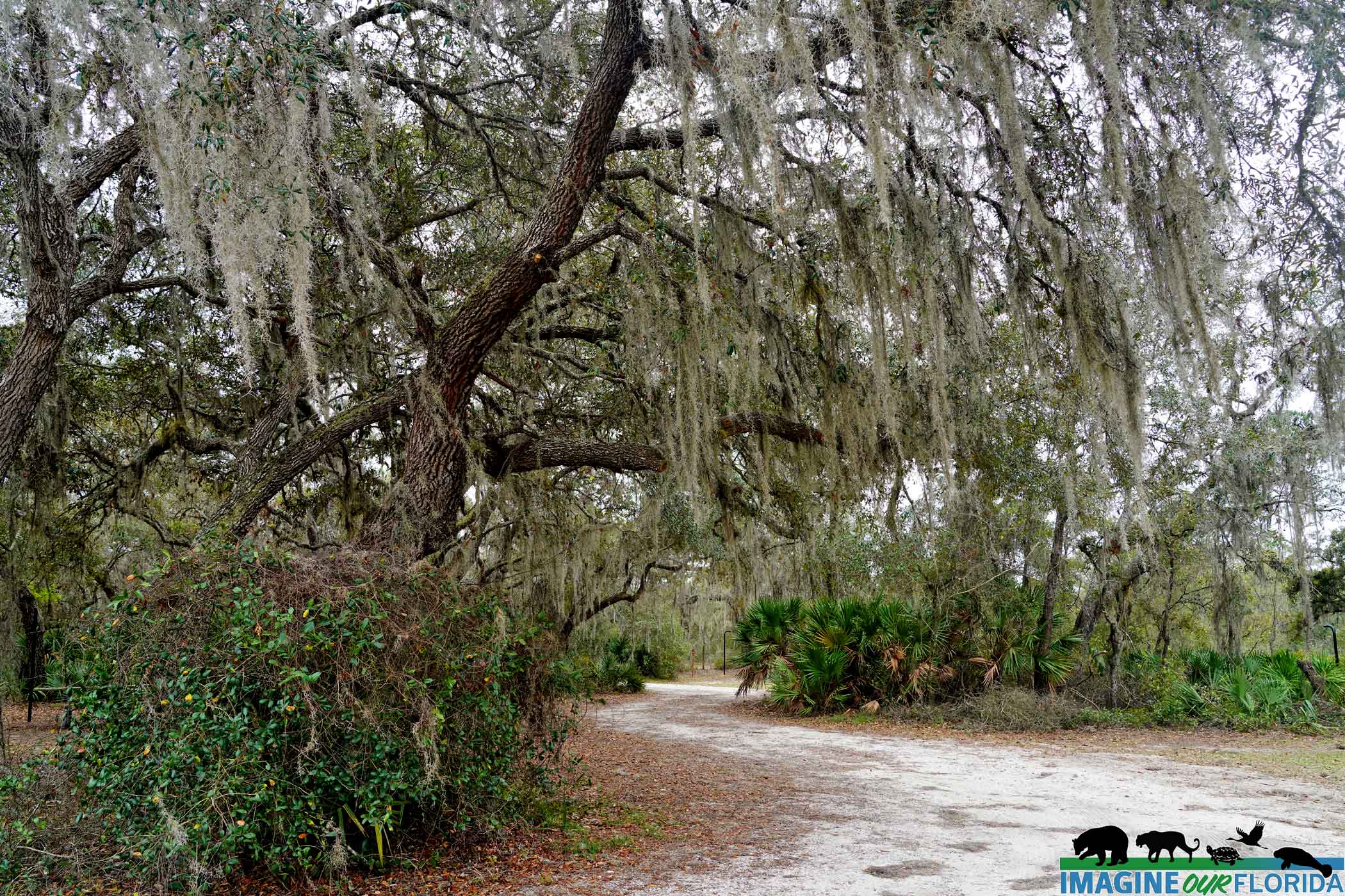


Recent Comments