horsebackriding

Pioneer Trail at Kings Park on Merritt Island

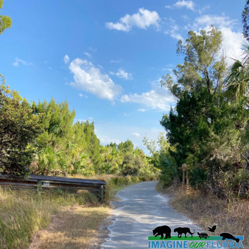
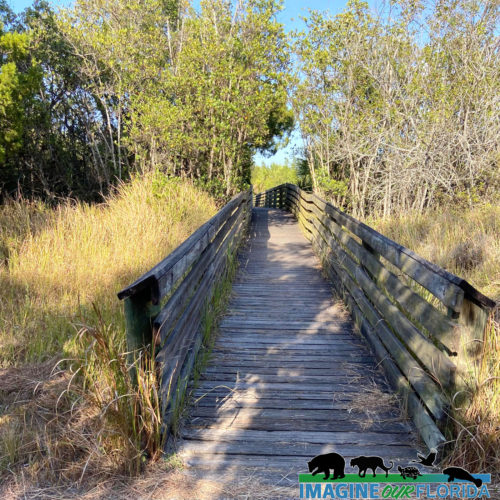
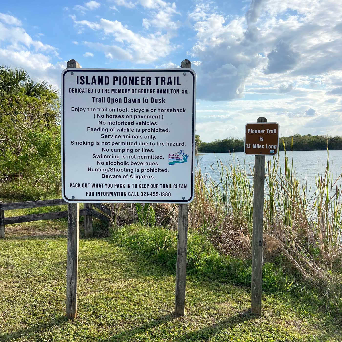
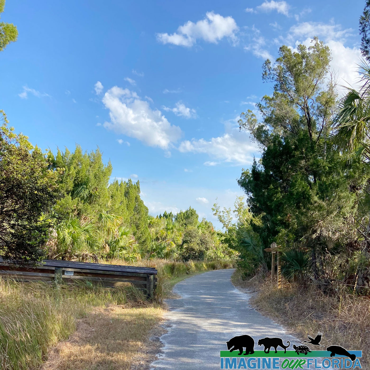
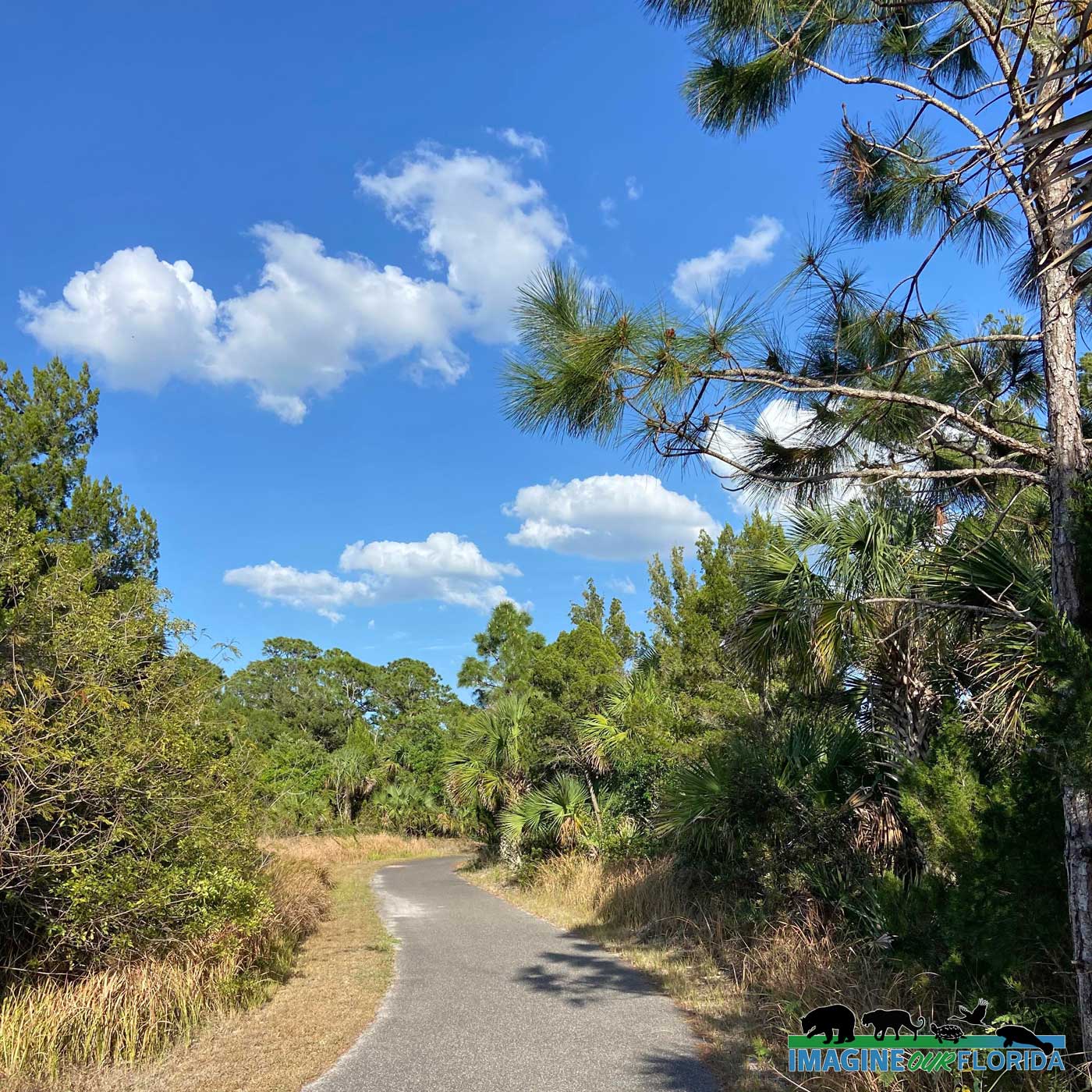
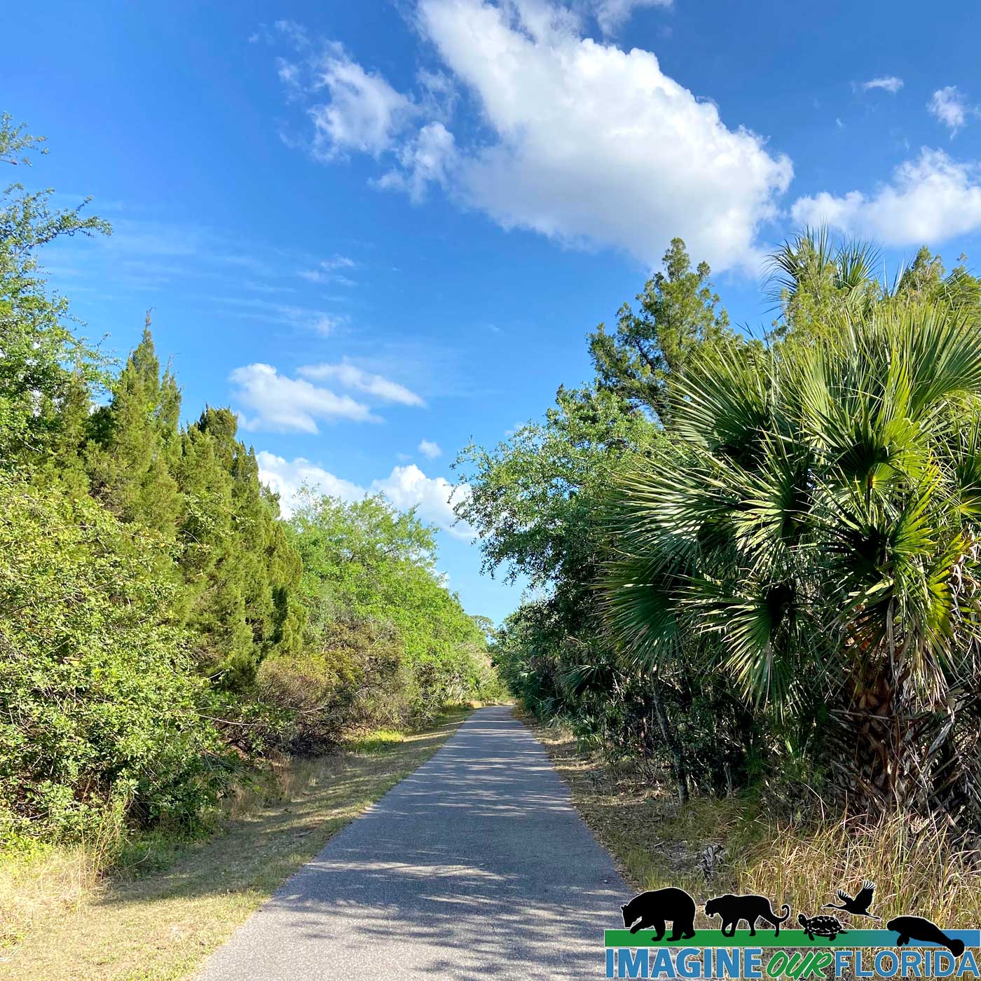
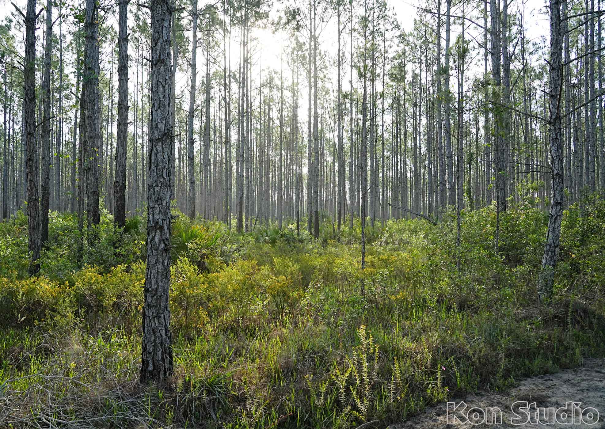
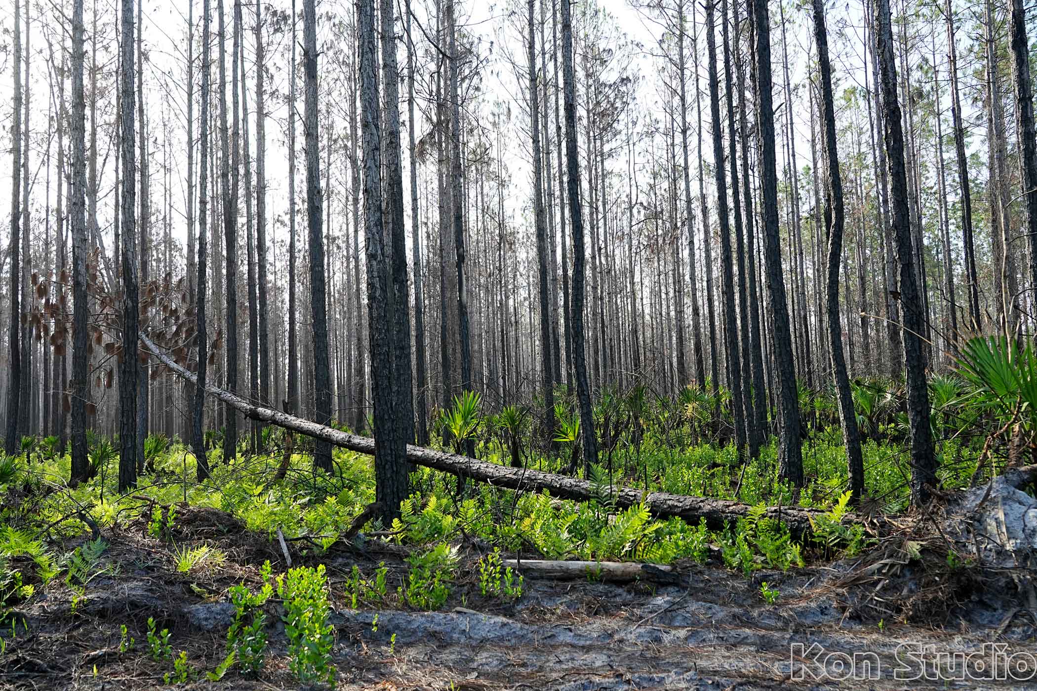
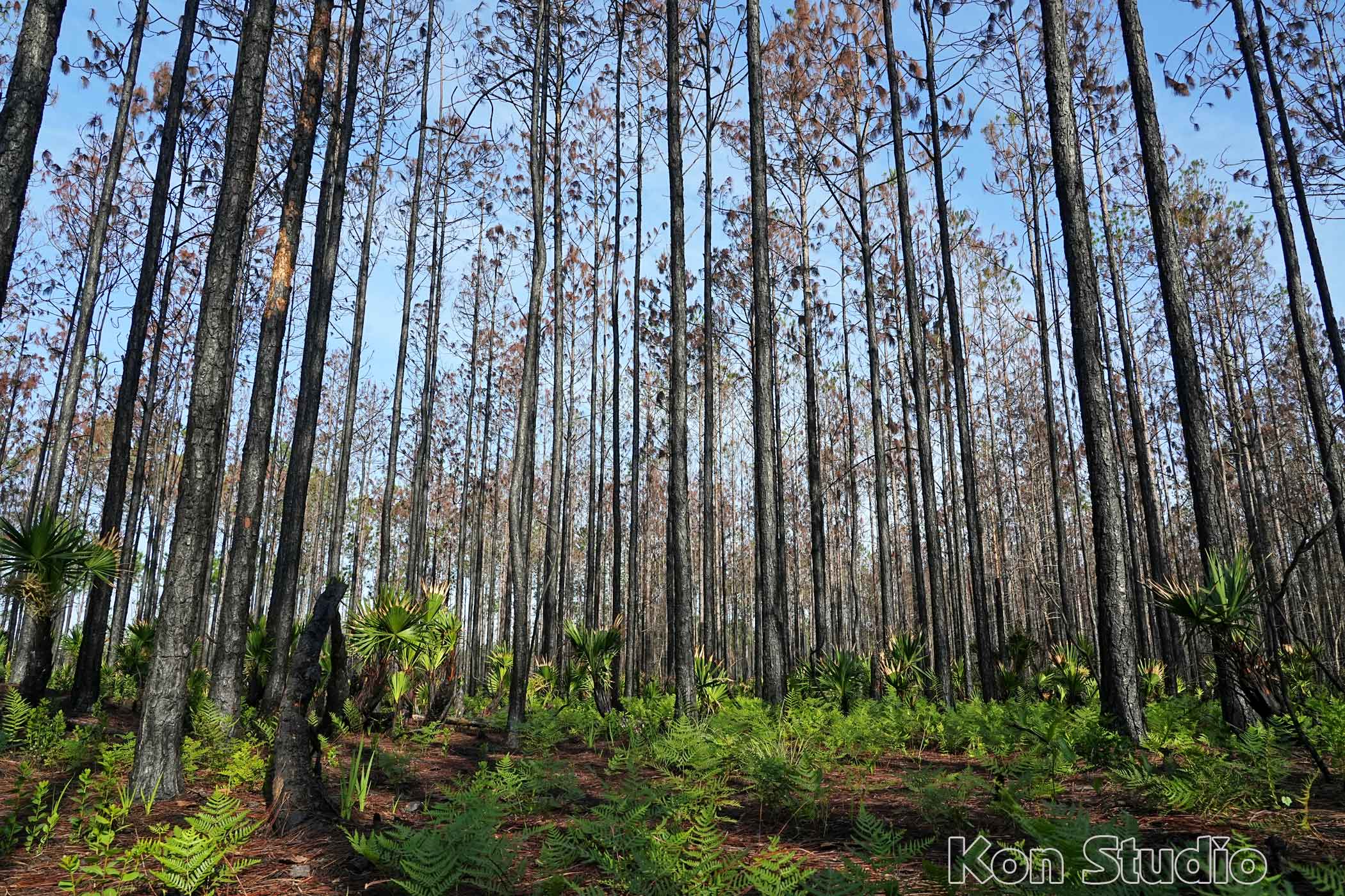
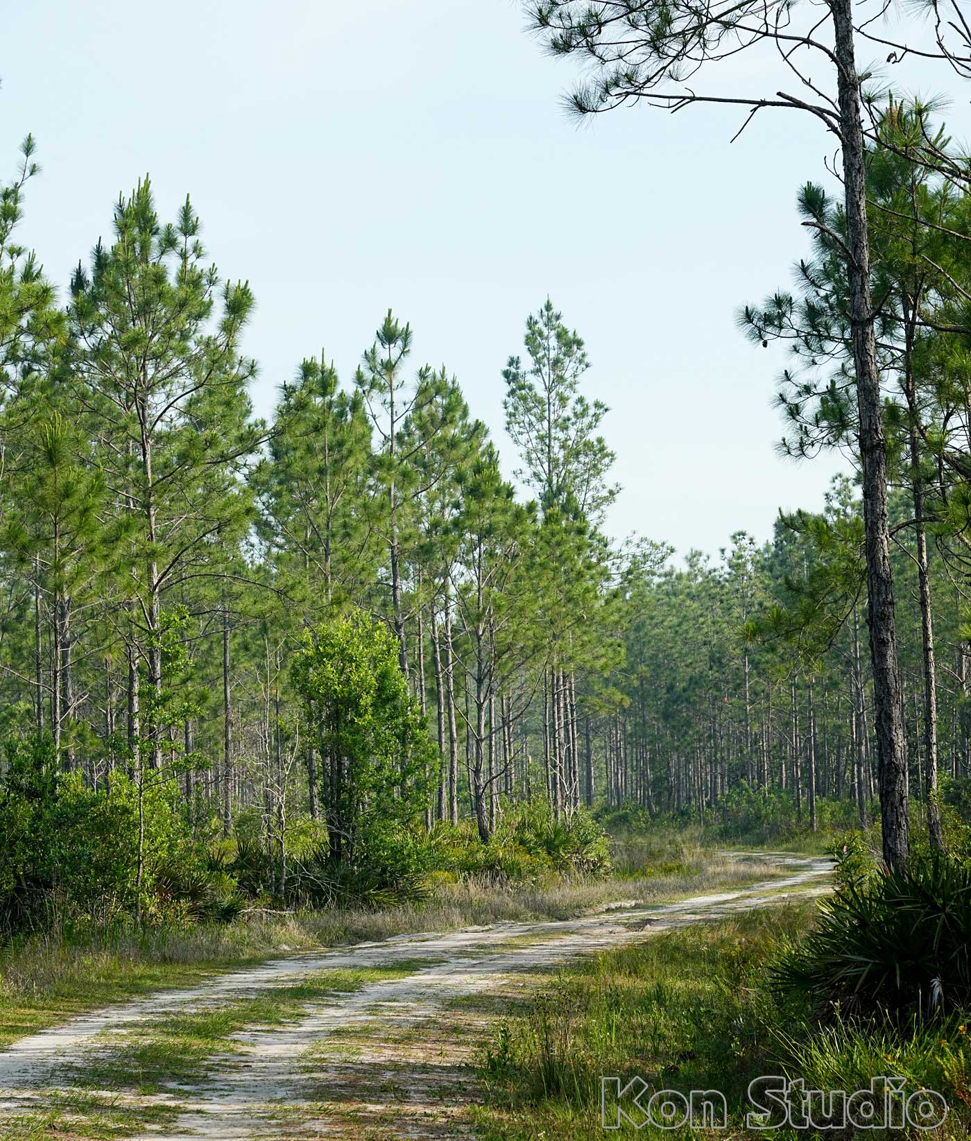
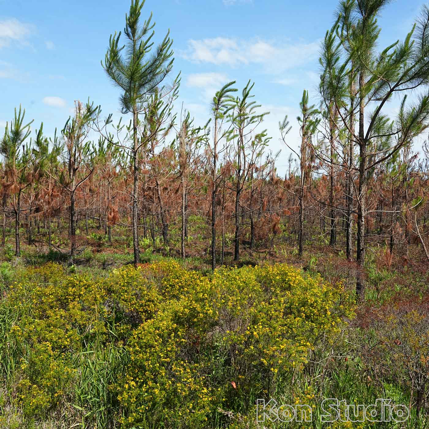
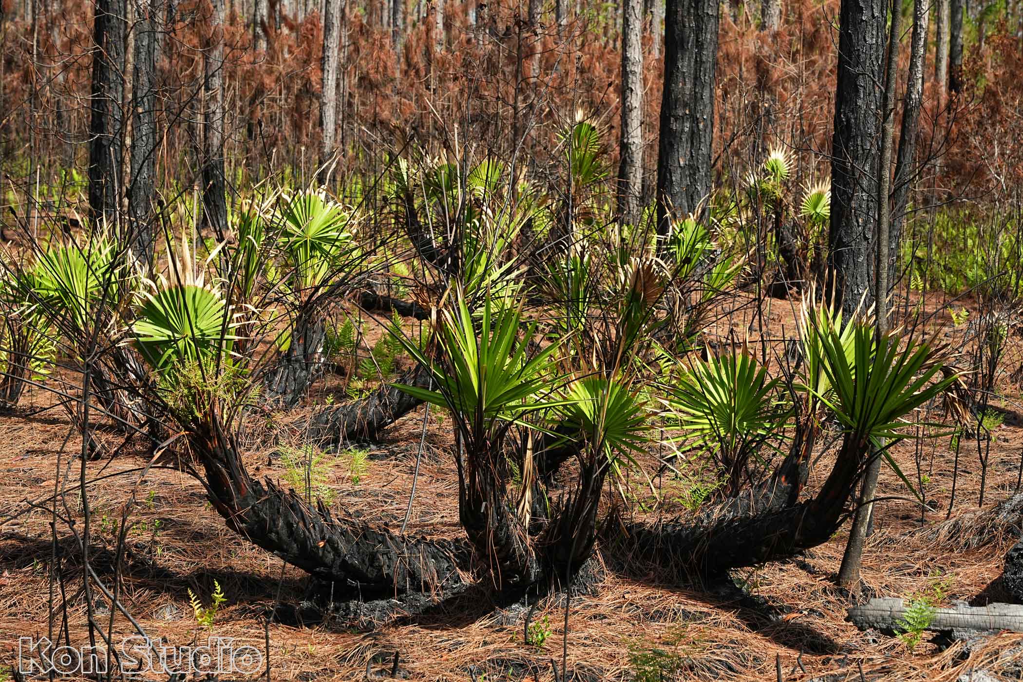
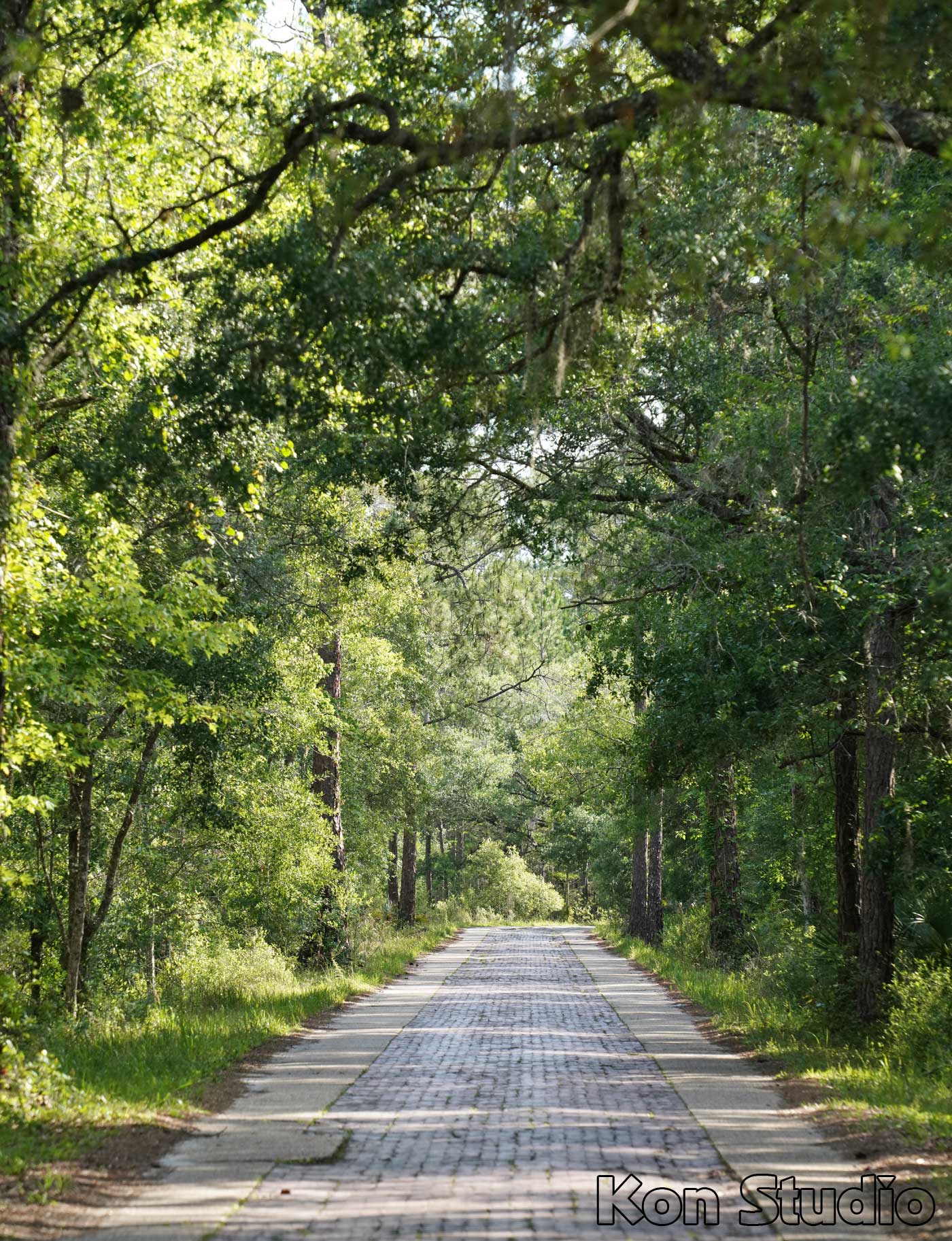
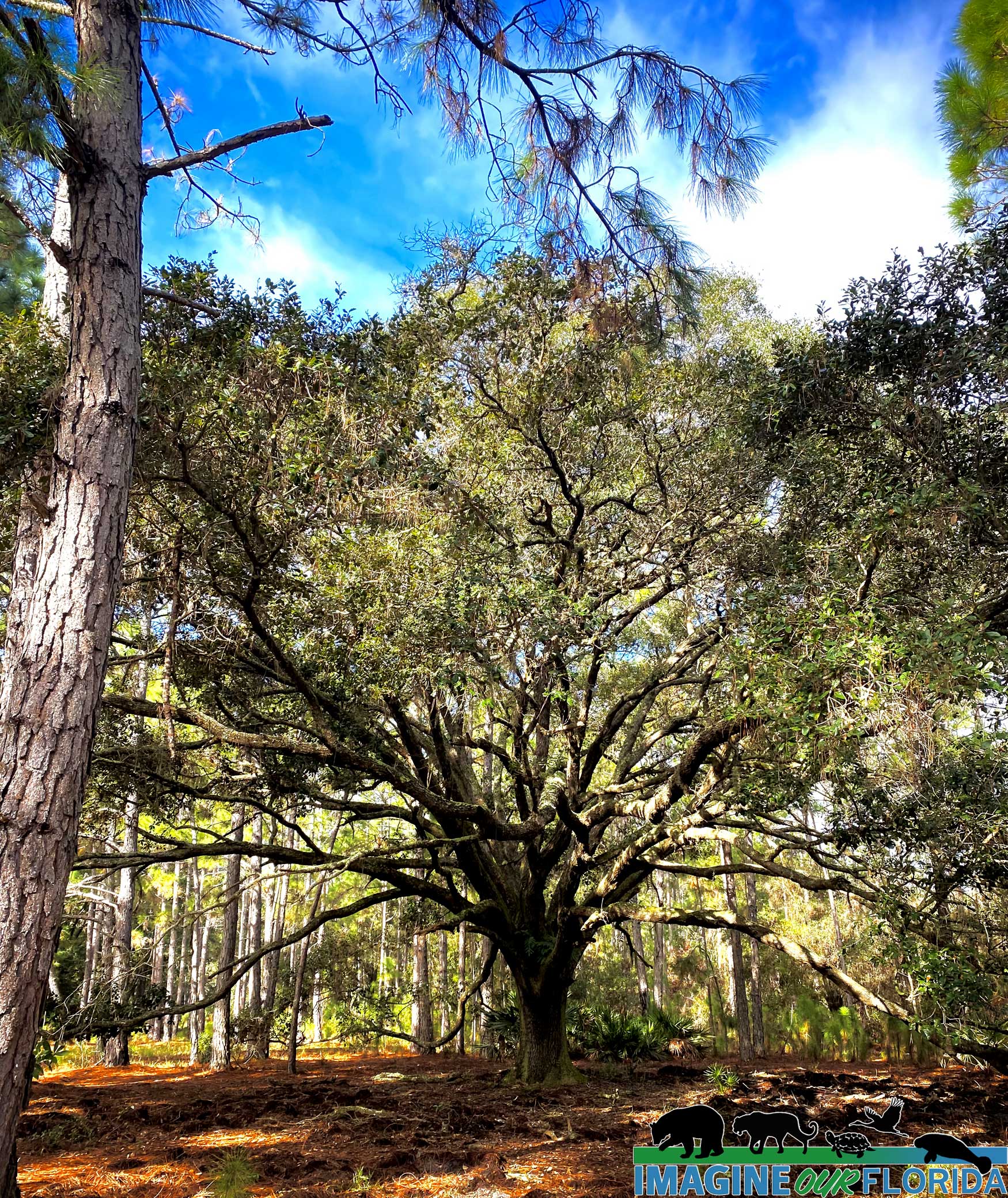
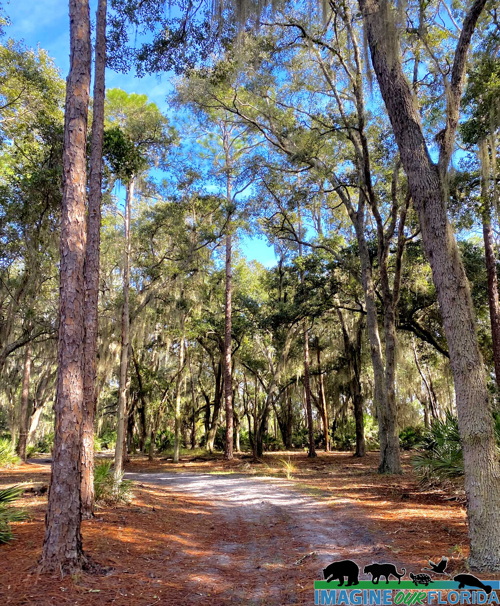
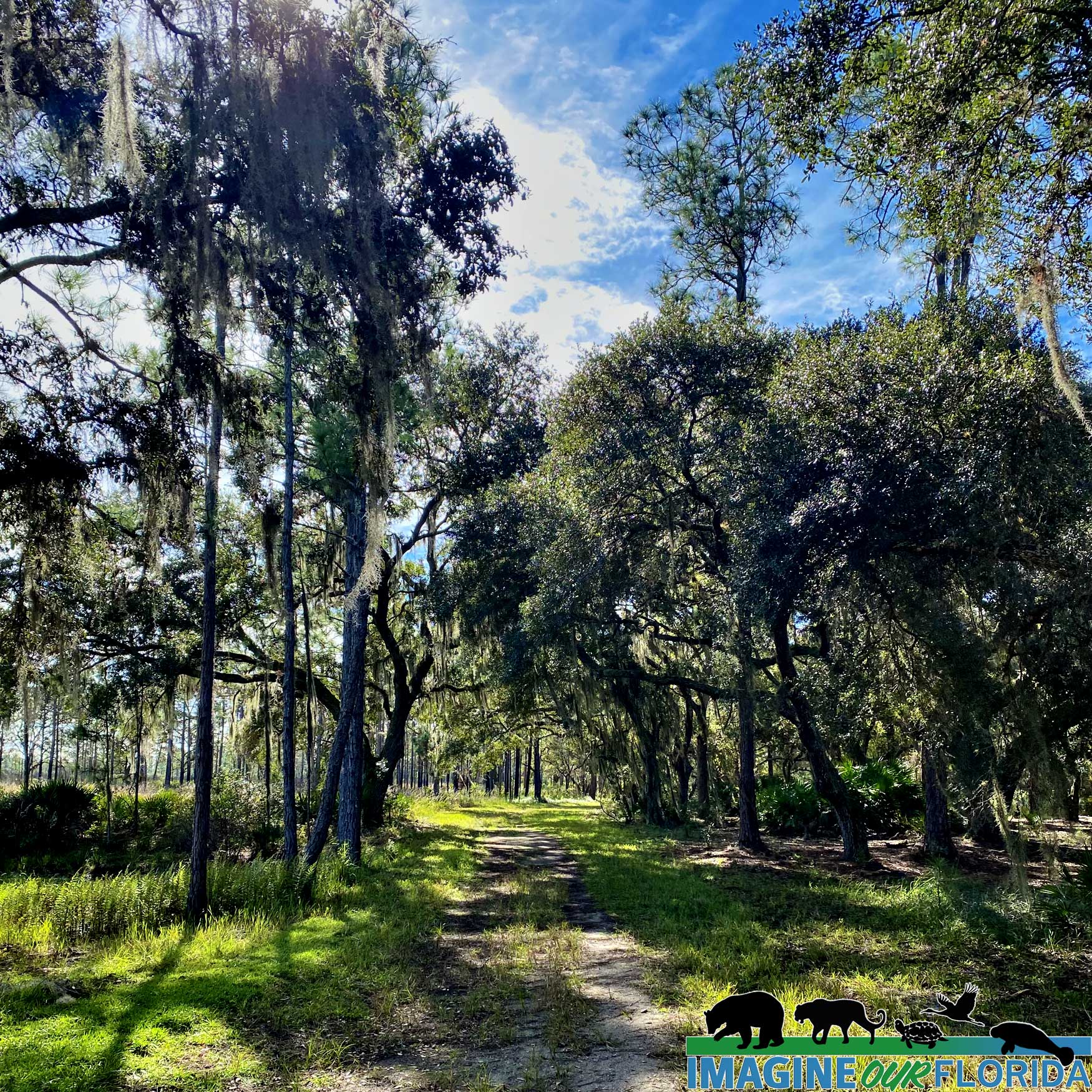
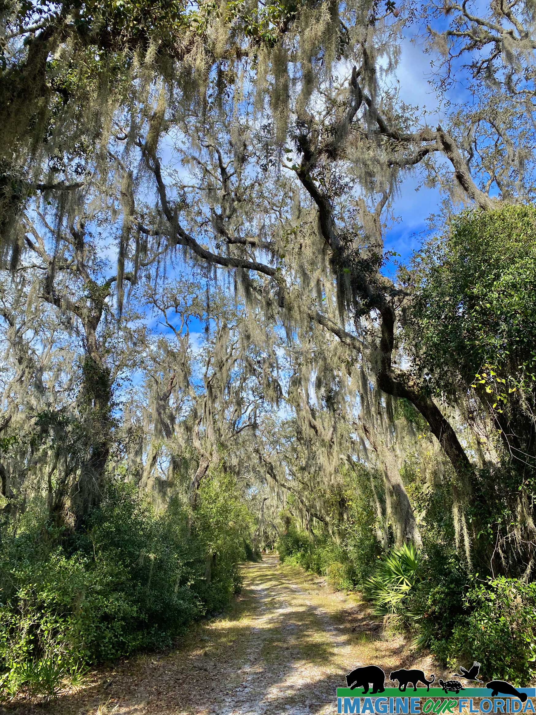
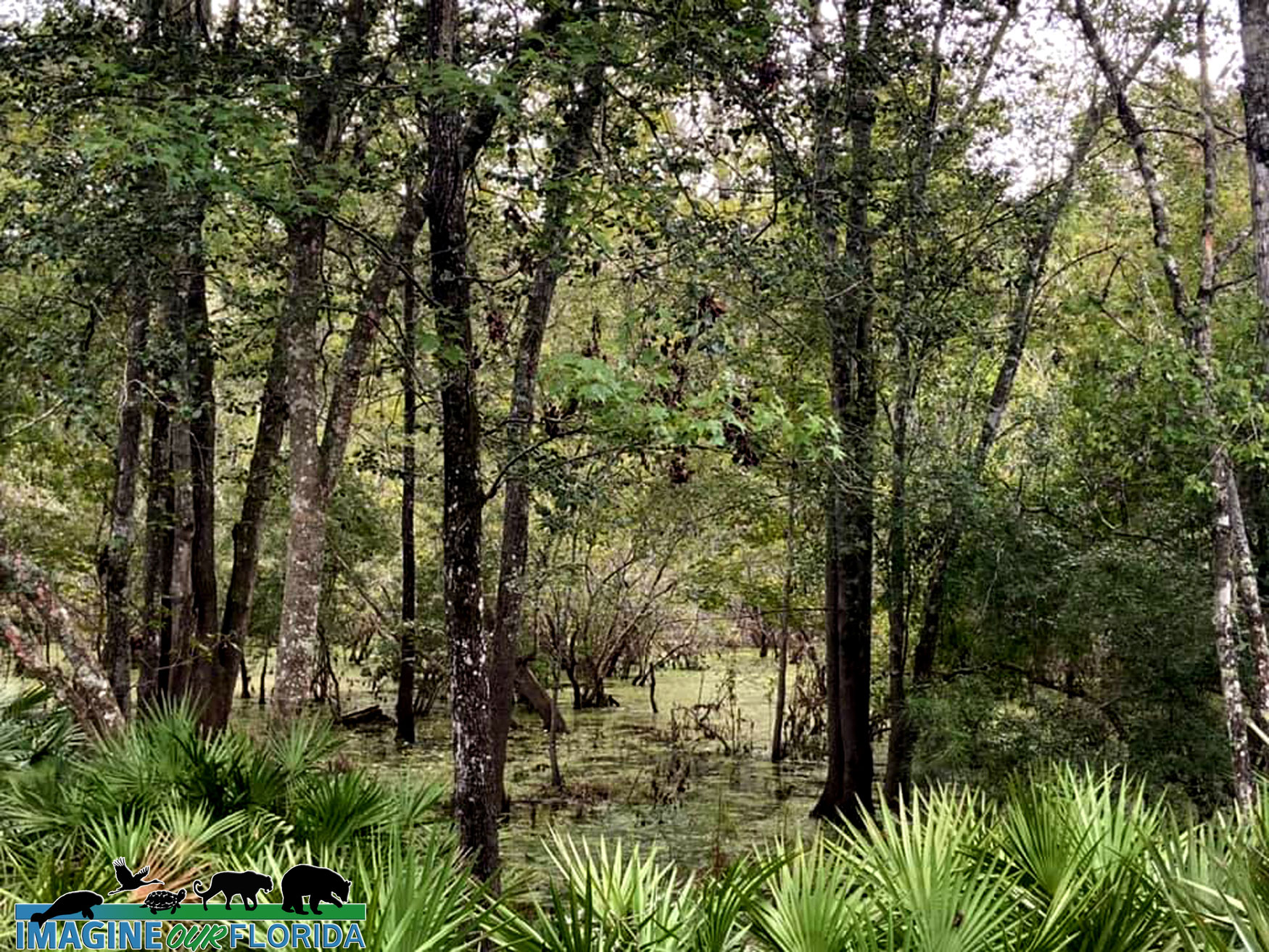
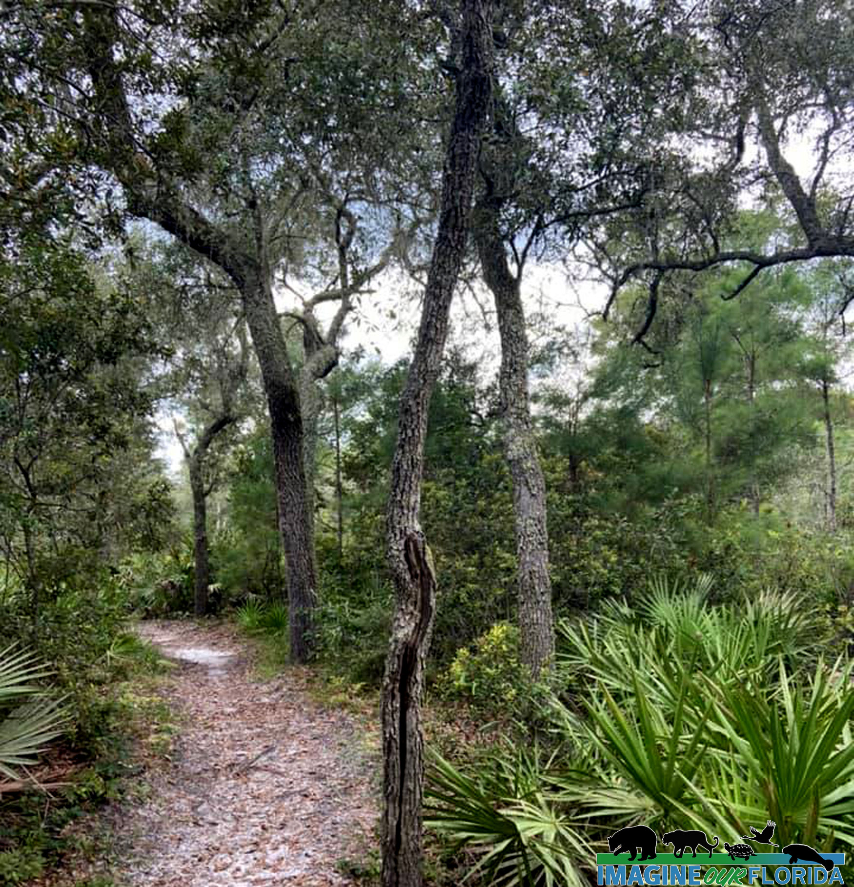
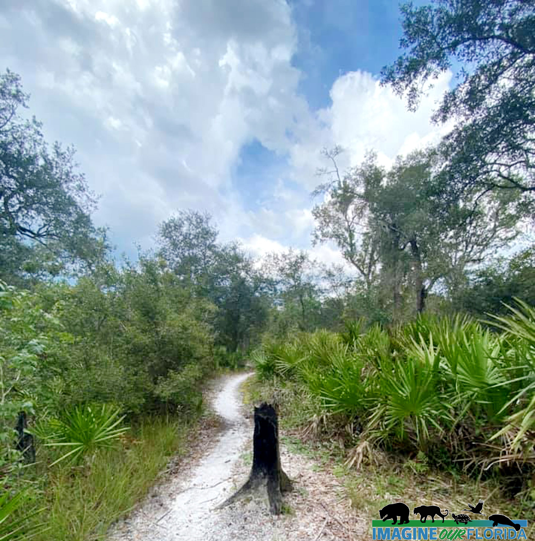
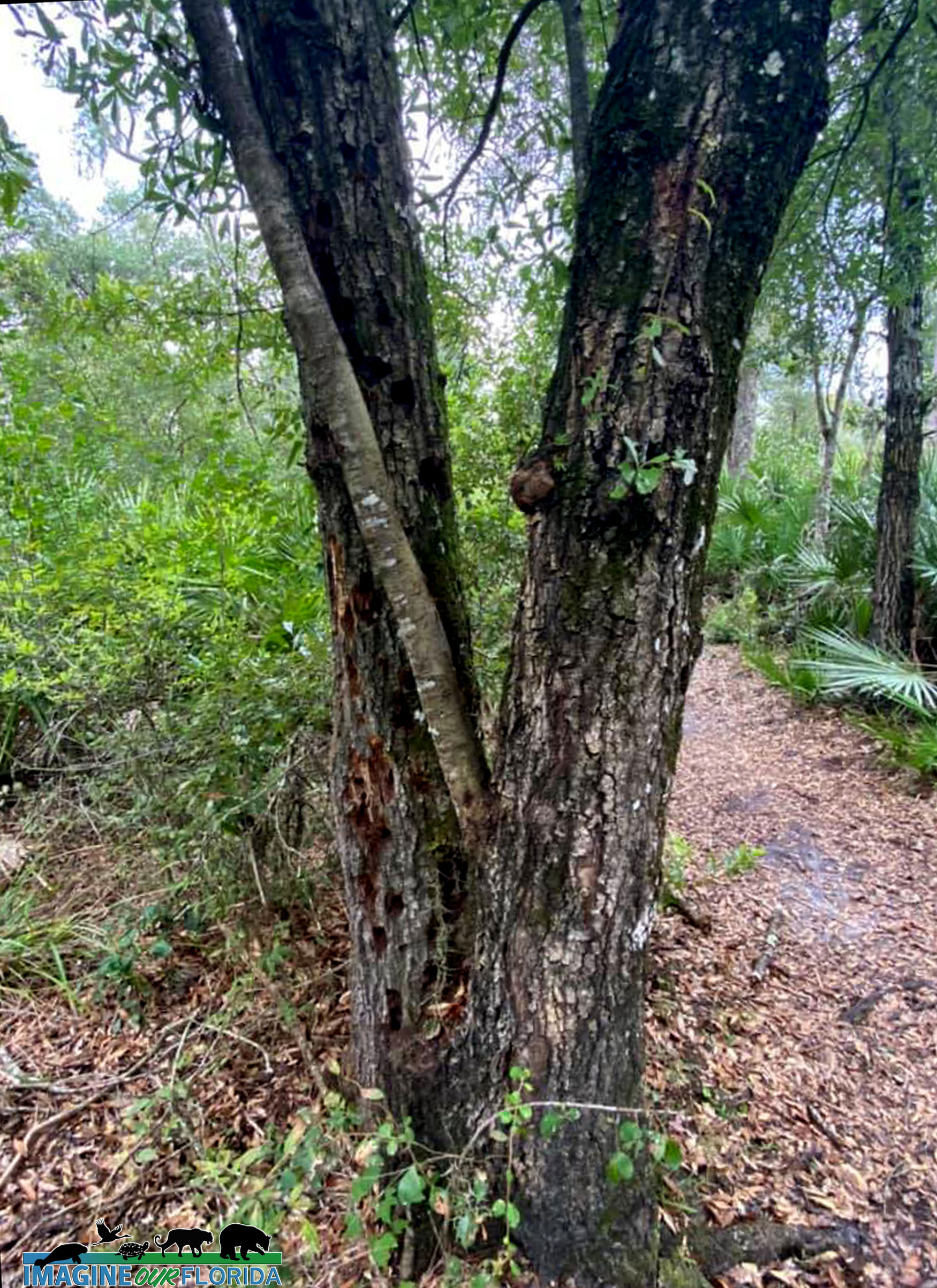
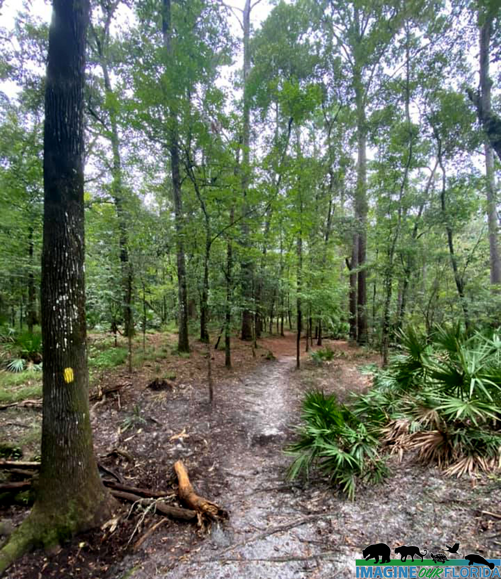
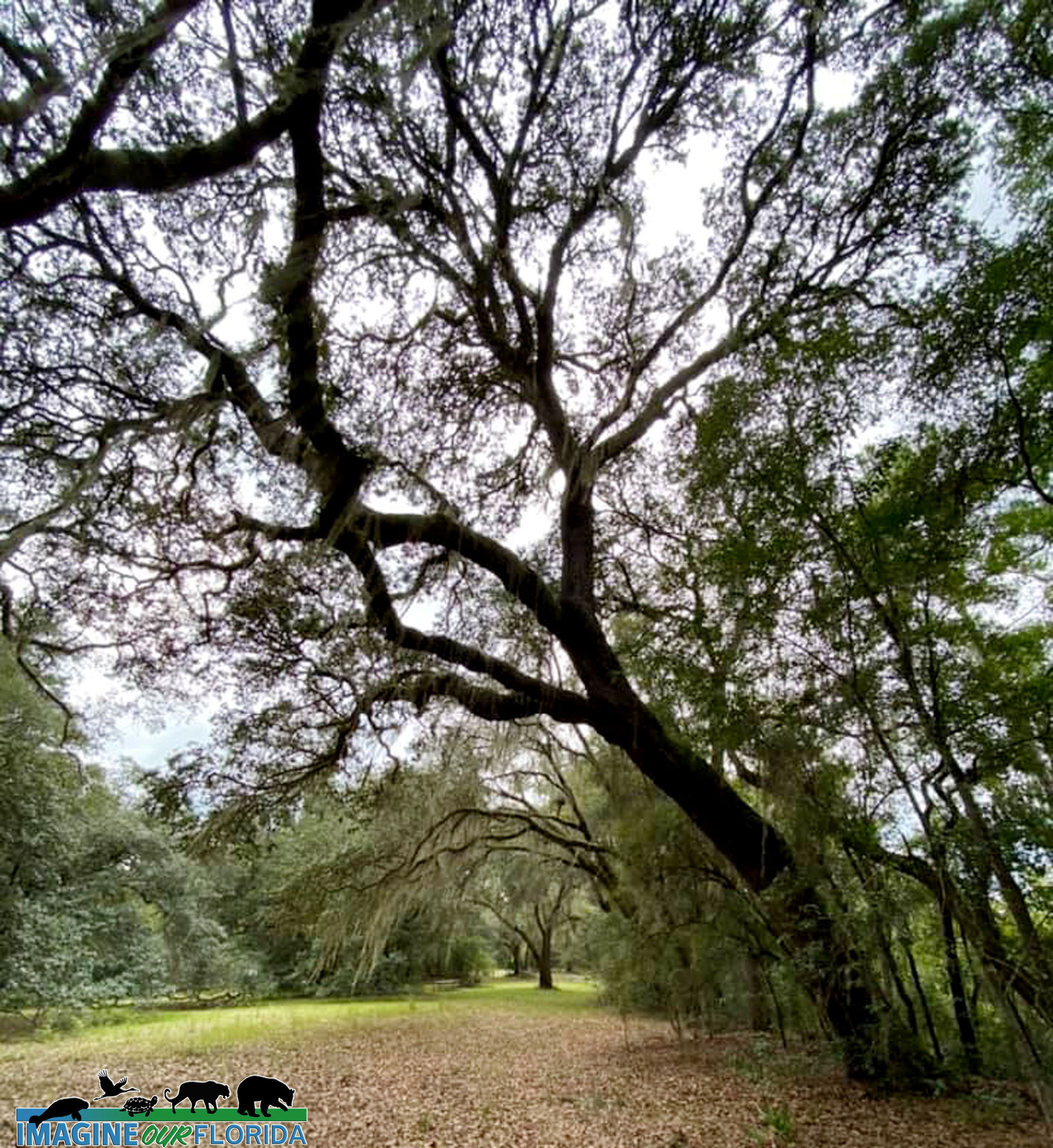
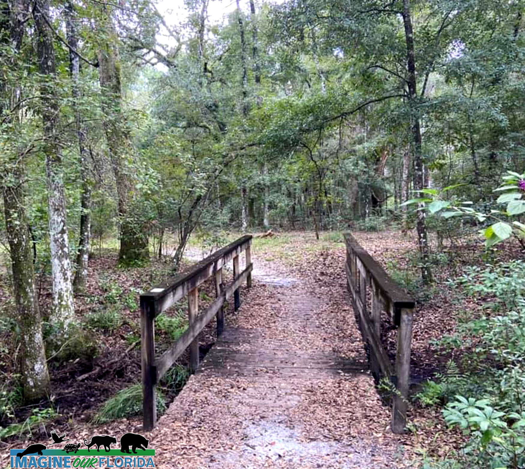
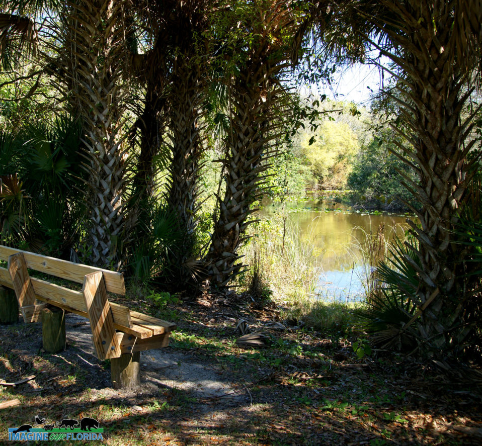
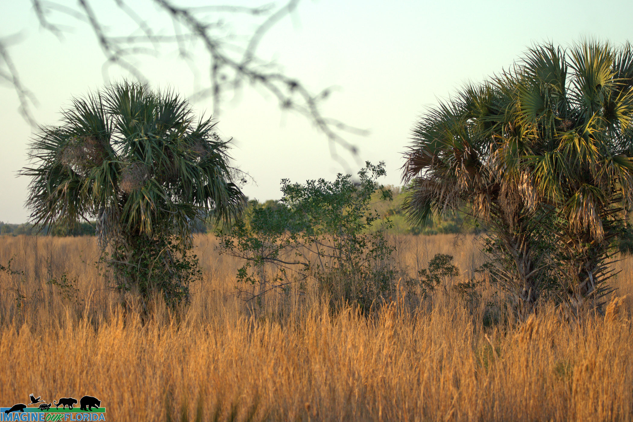
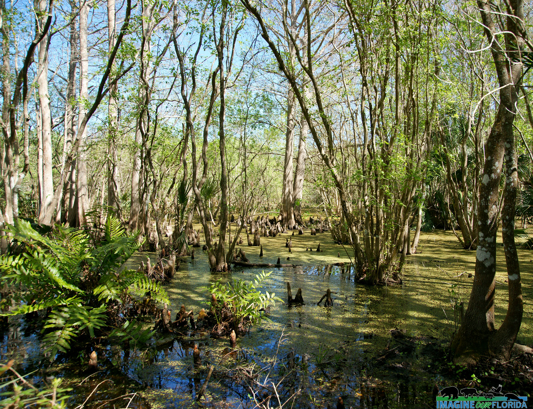
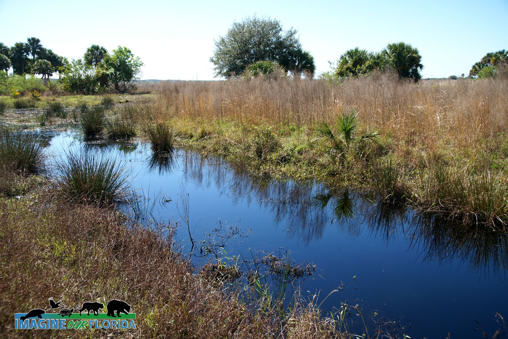
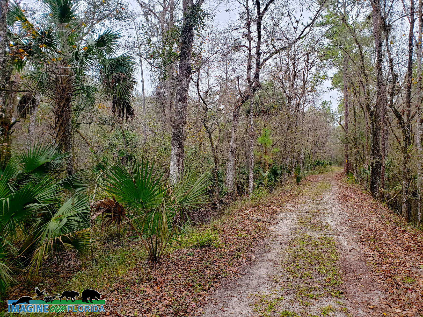
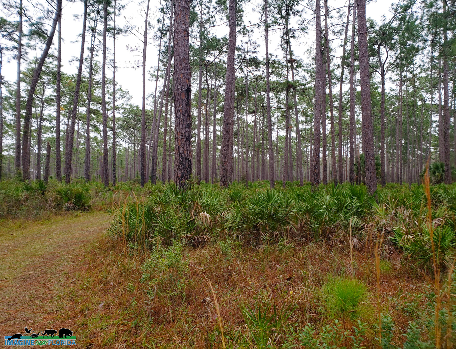
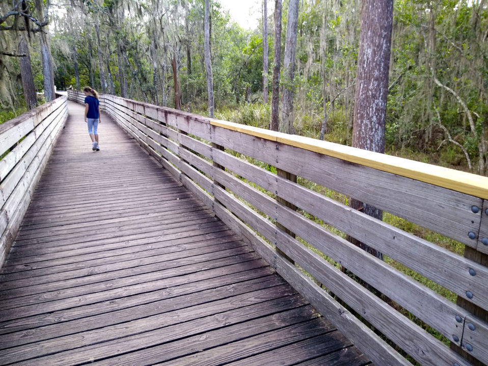
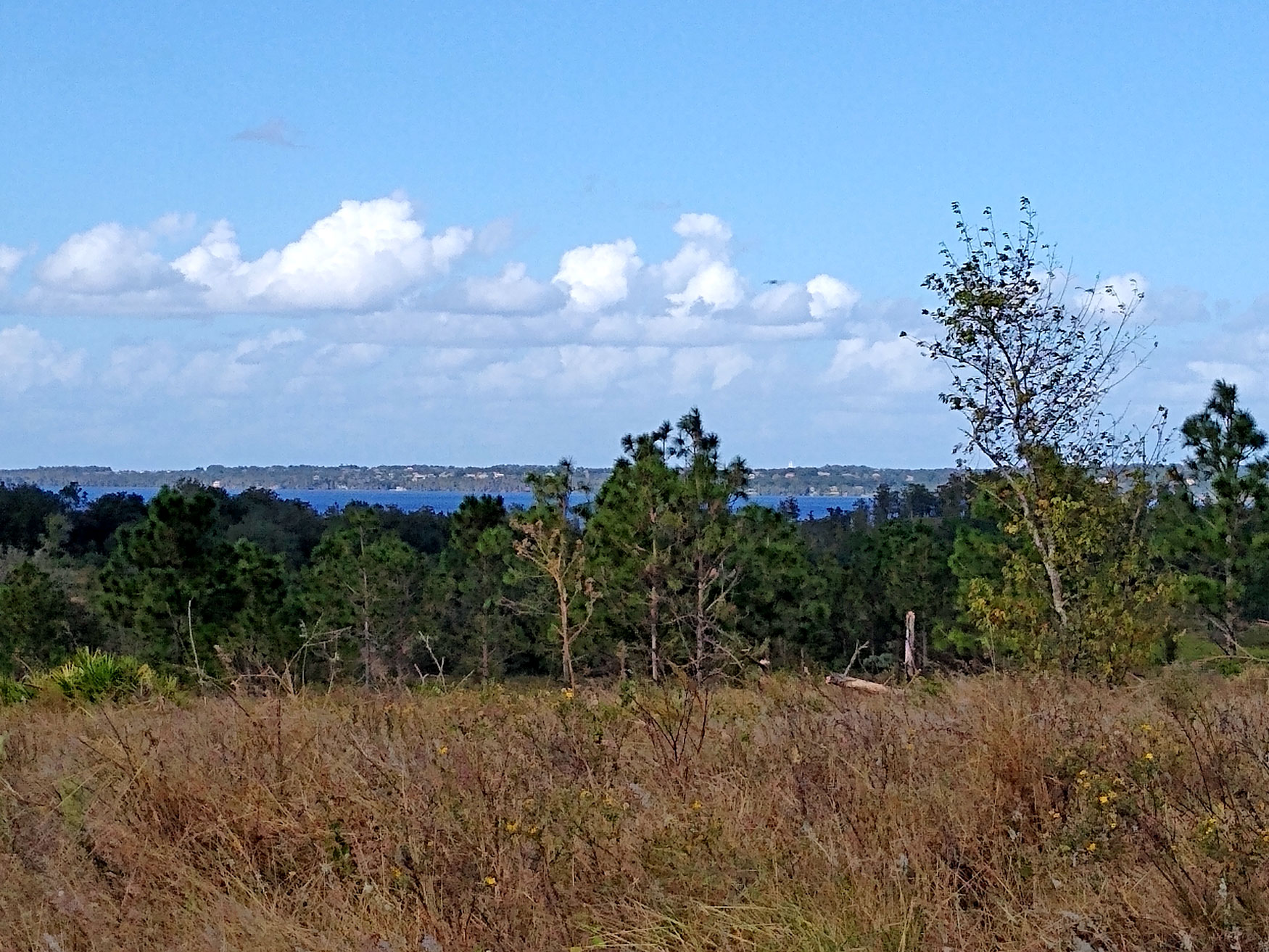
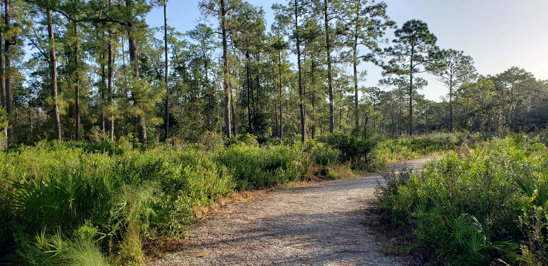
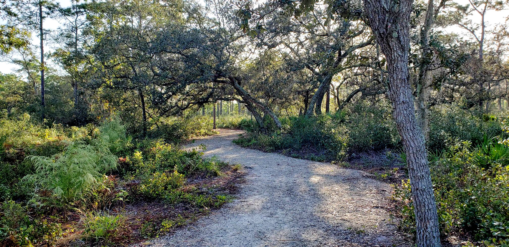
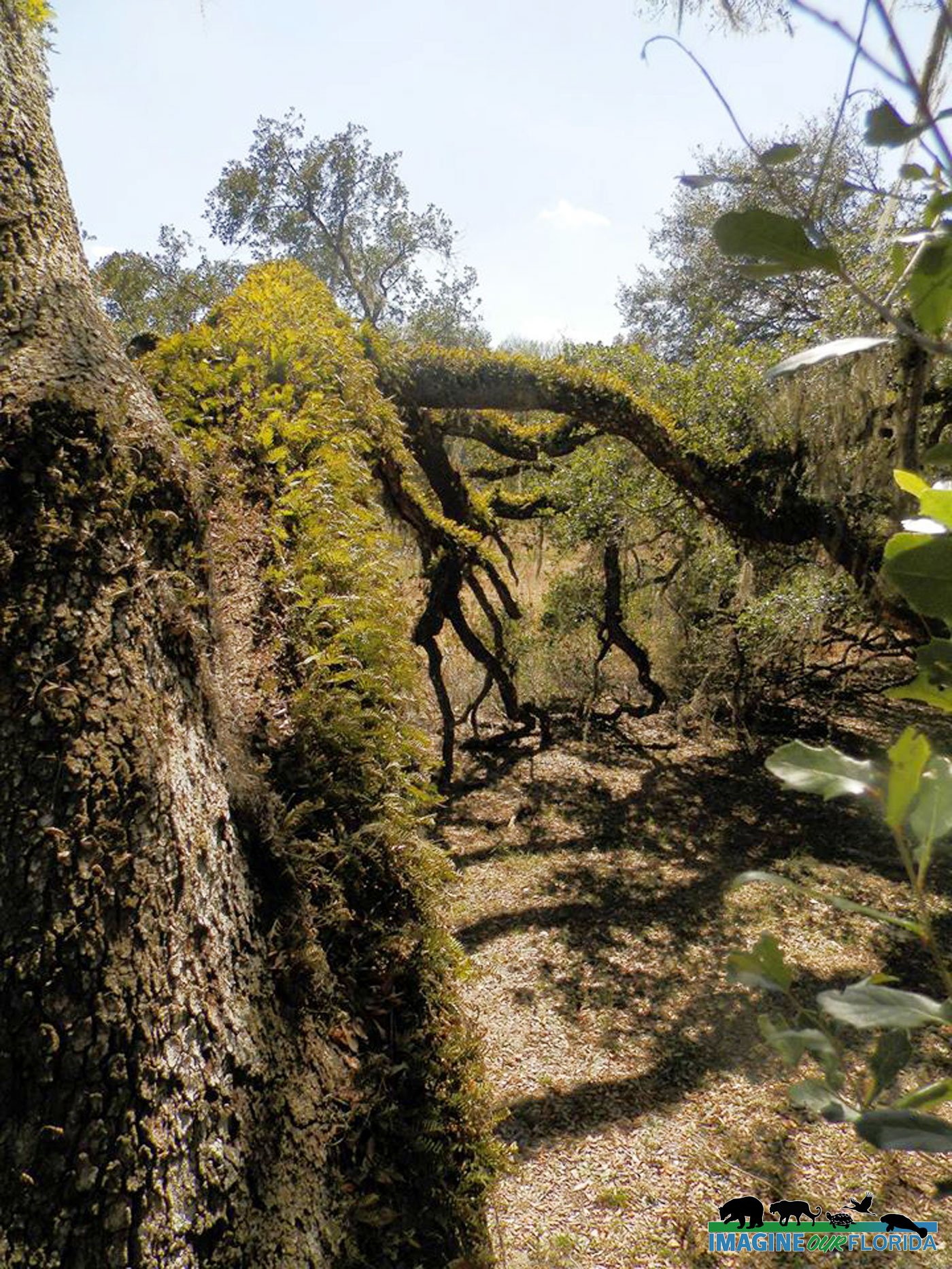
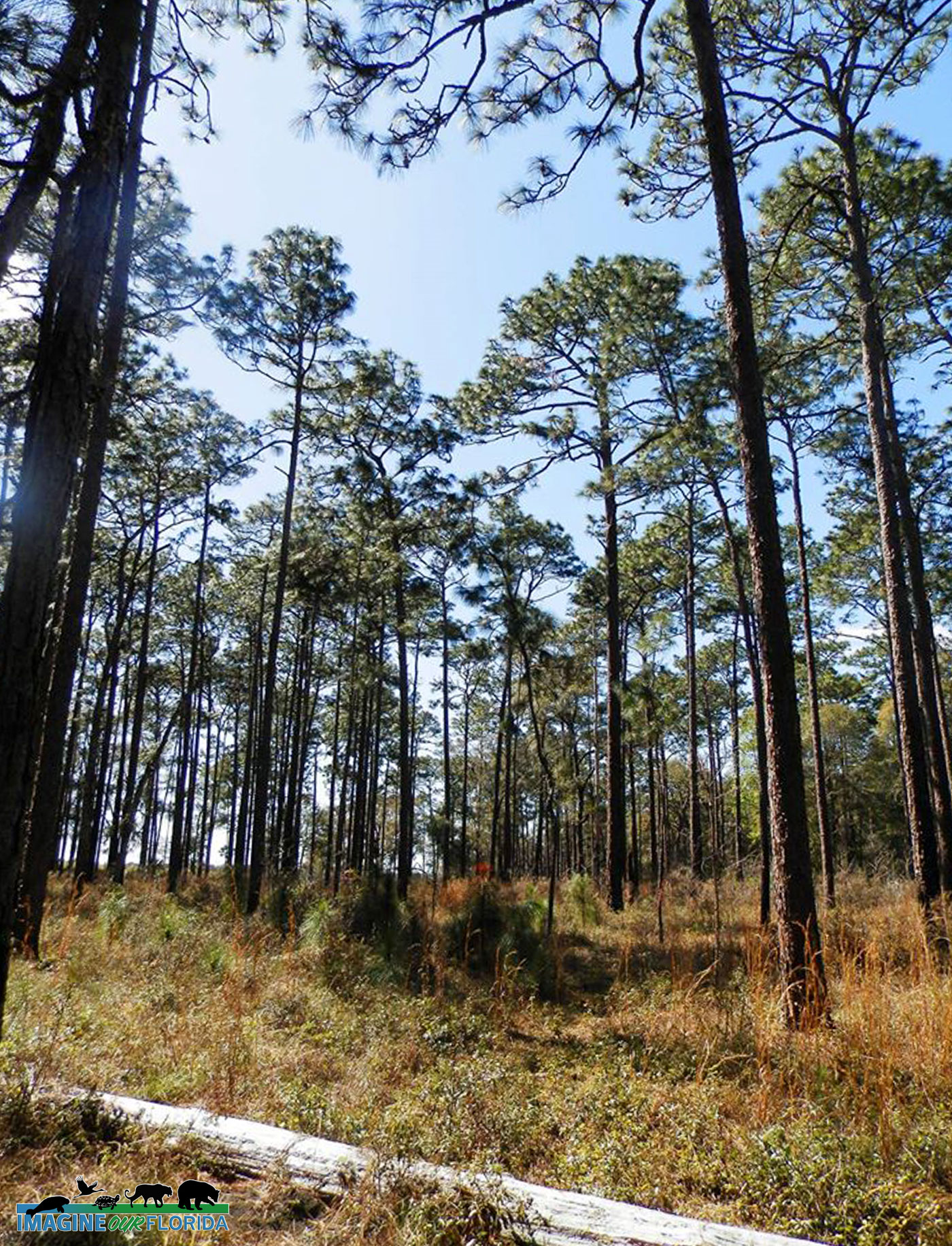
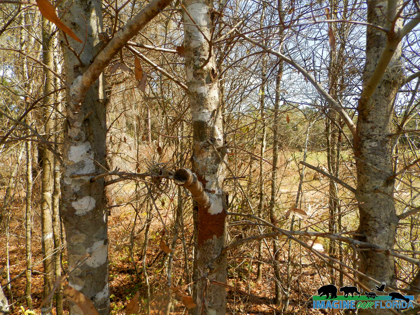
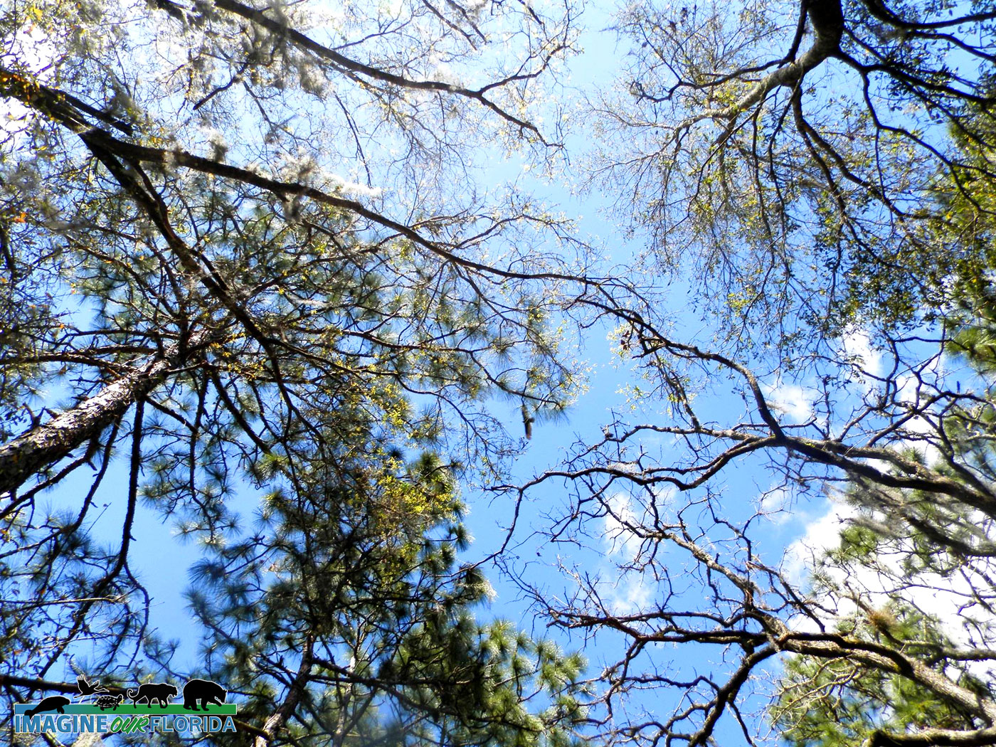
The Pioneer Trail, inside of Kings Park, could be the trail that you have been missing. Located in north Merritt Island, this 240-acre community park is largely a wetlands preserve. The paved, well-maintained trail is suitable for walkers, runners, or cyclists (mountain, hybrid, cruisers, or road bikes will all work here), perfect for your whole family to enjoy. If you go later in the afternoon or evening, you will find portions of the trail are shaded.
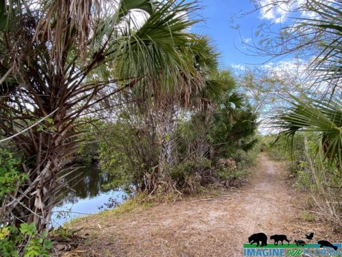
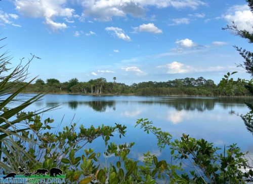
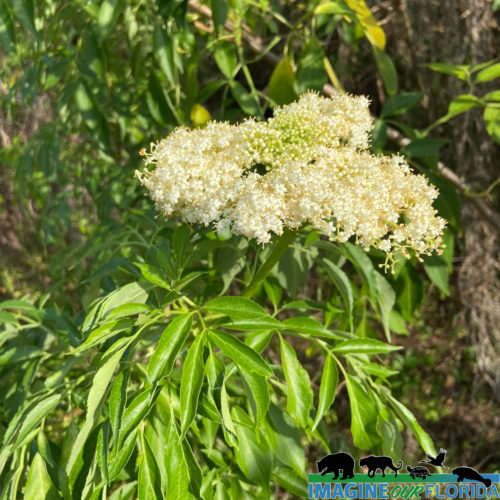
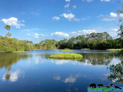
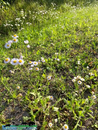
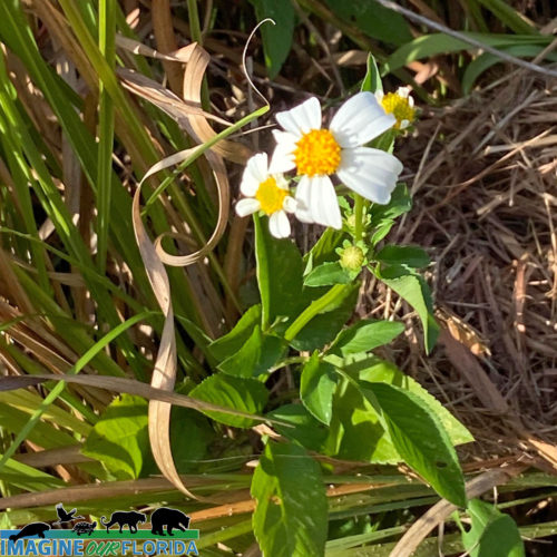
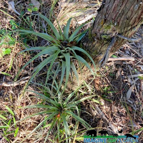
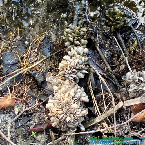
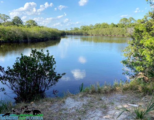
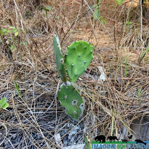
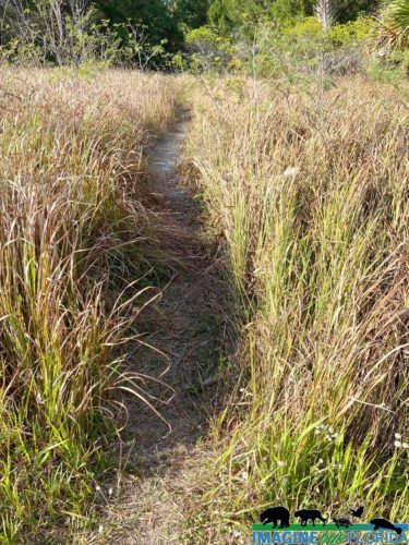
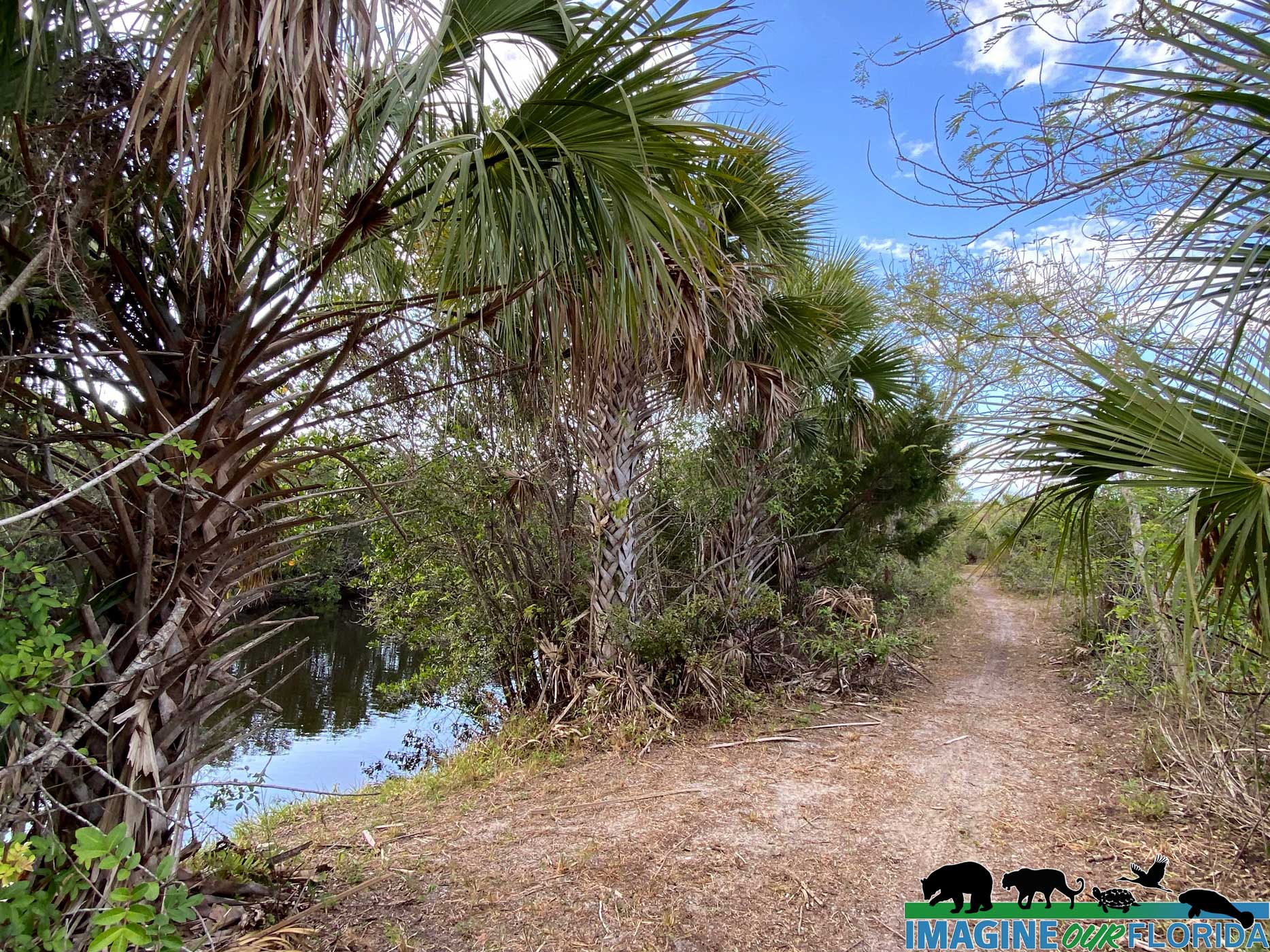
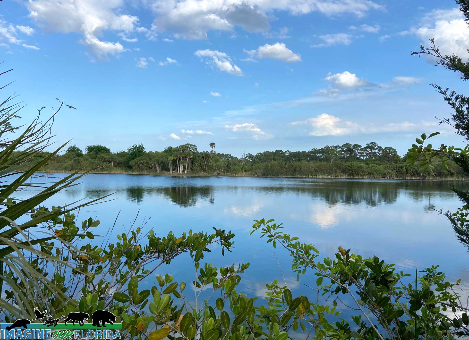
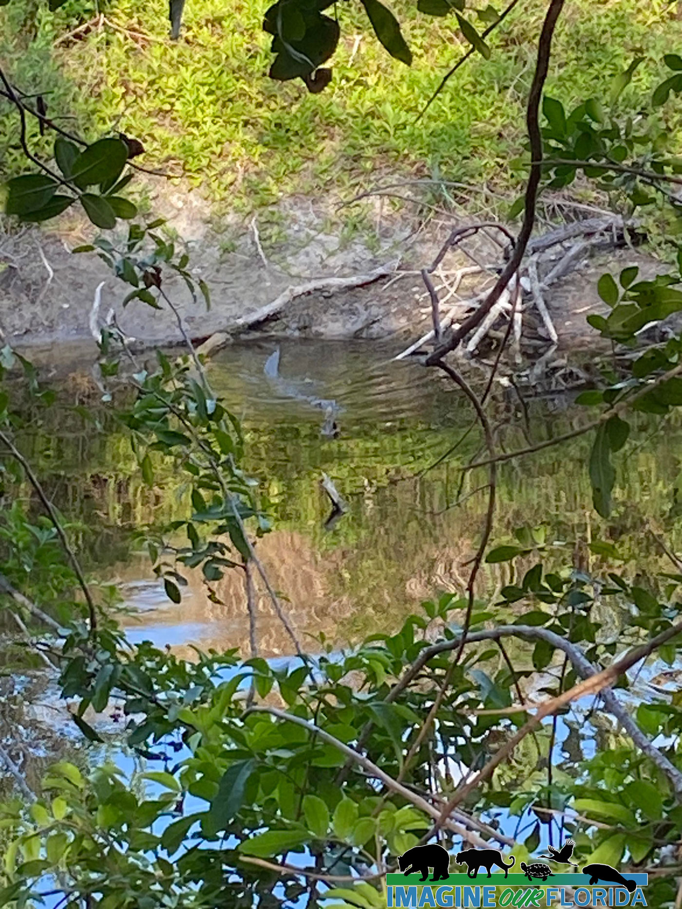
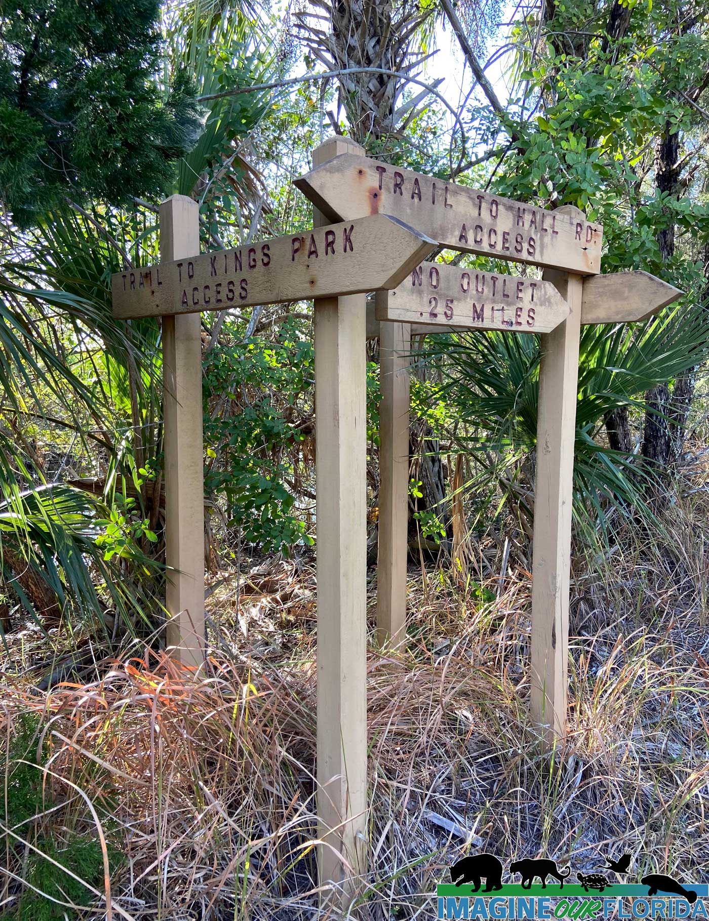
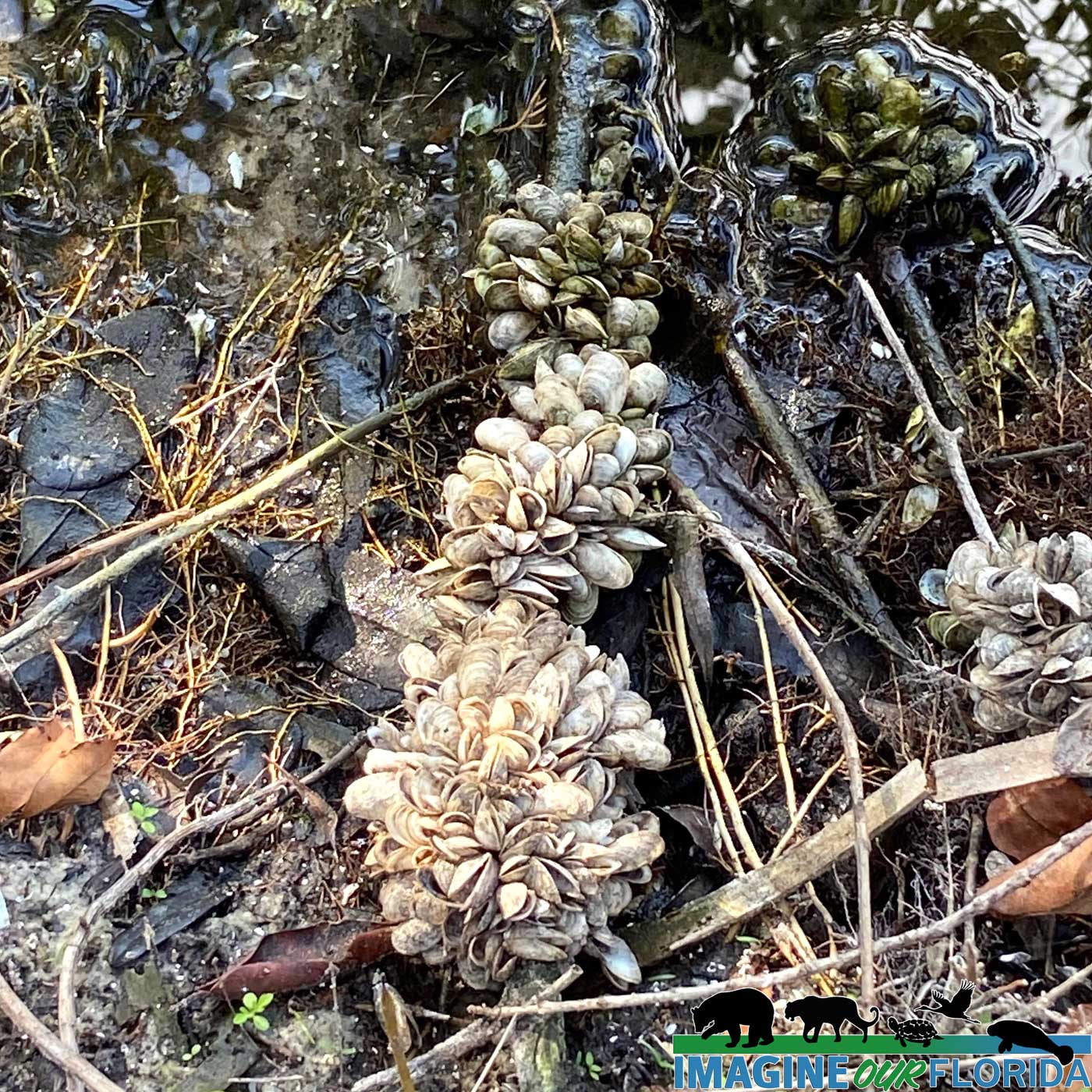
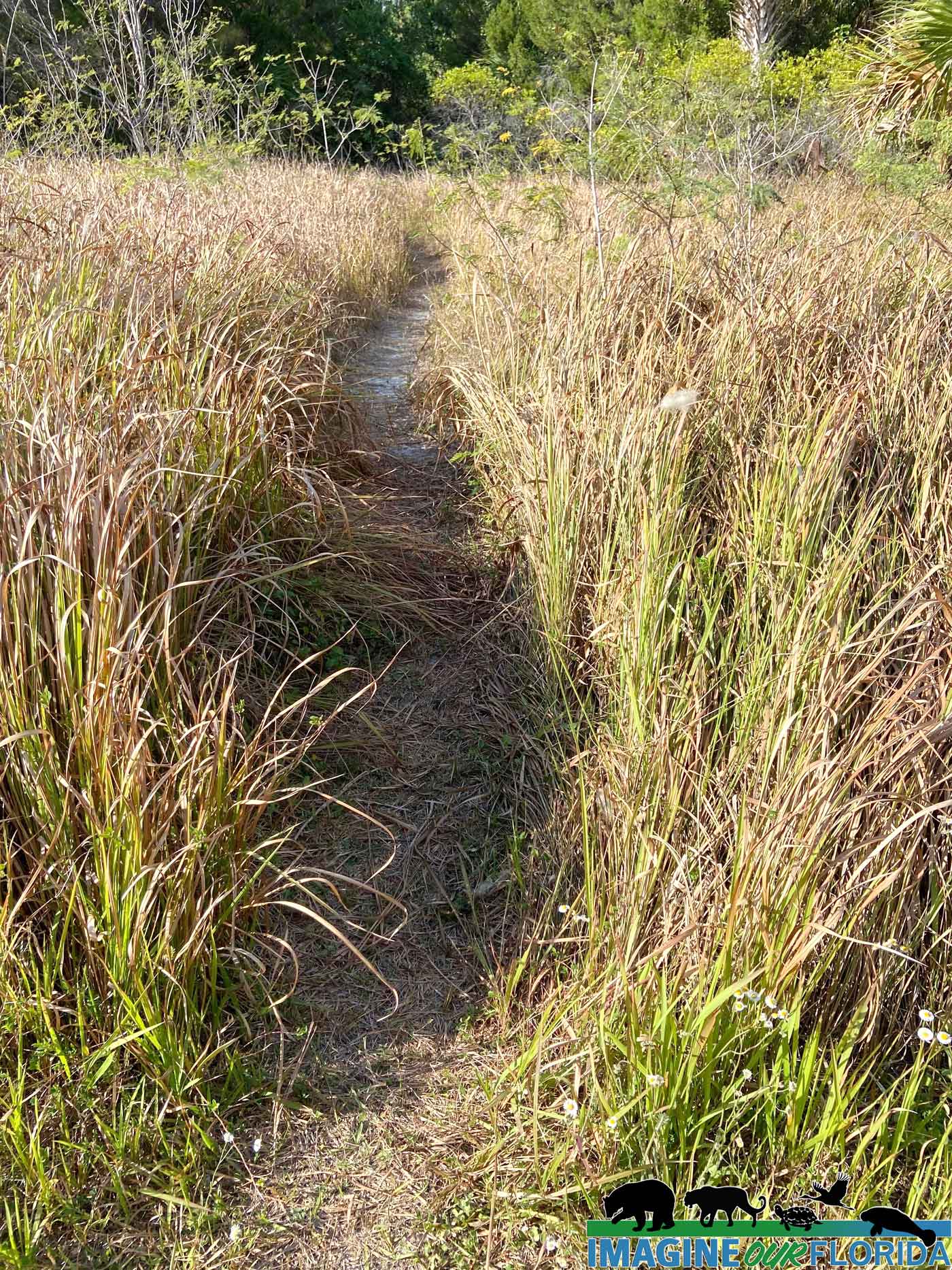
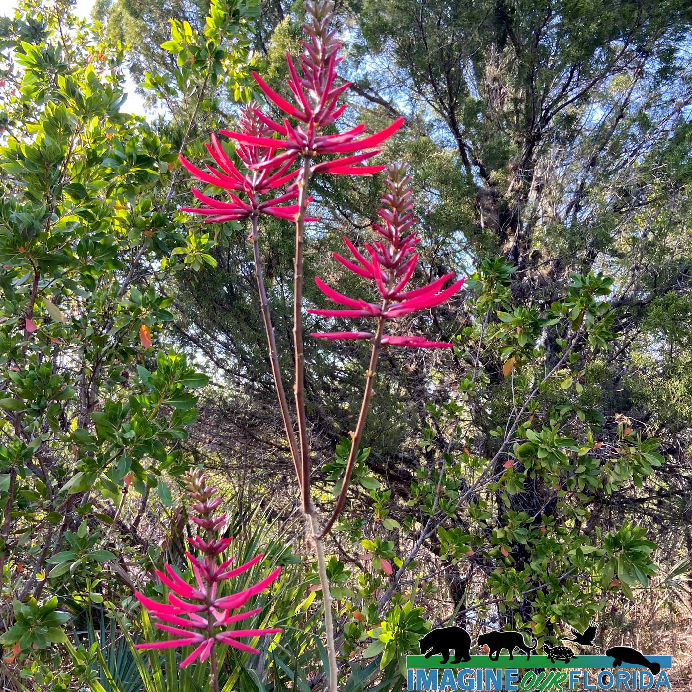
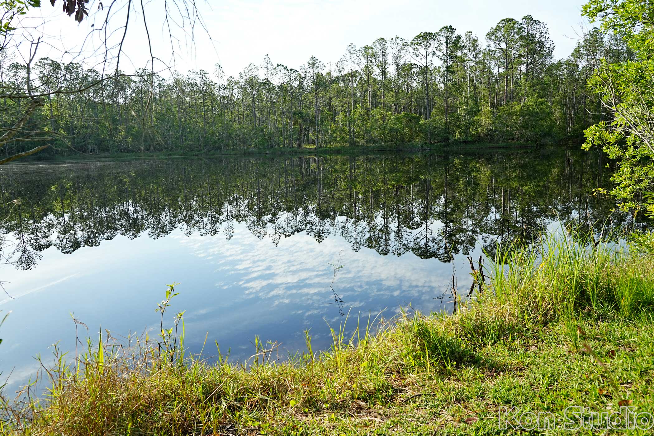
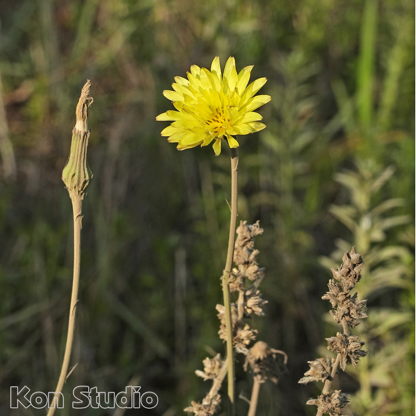
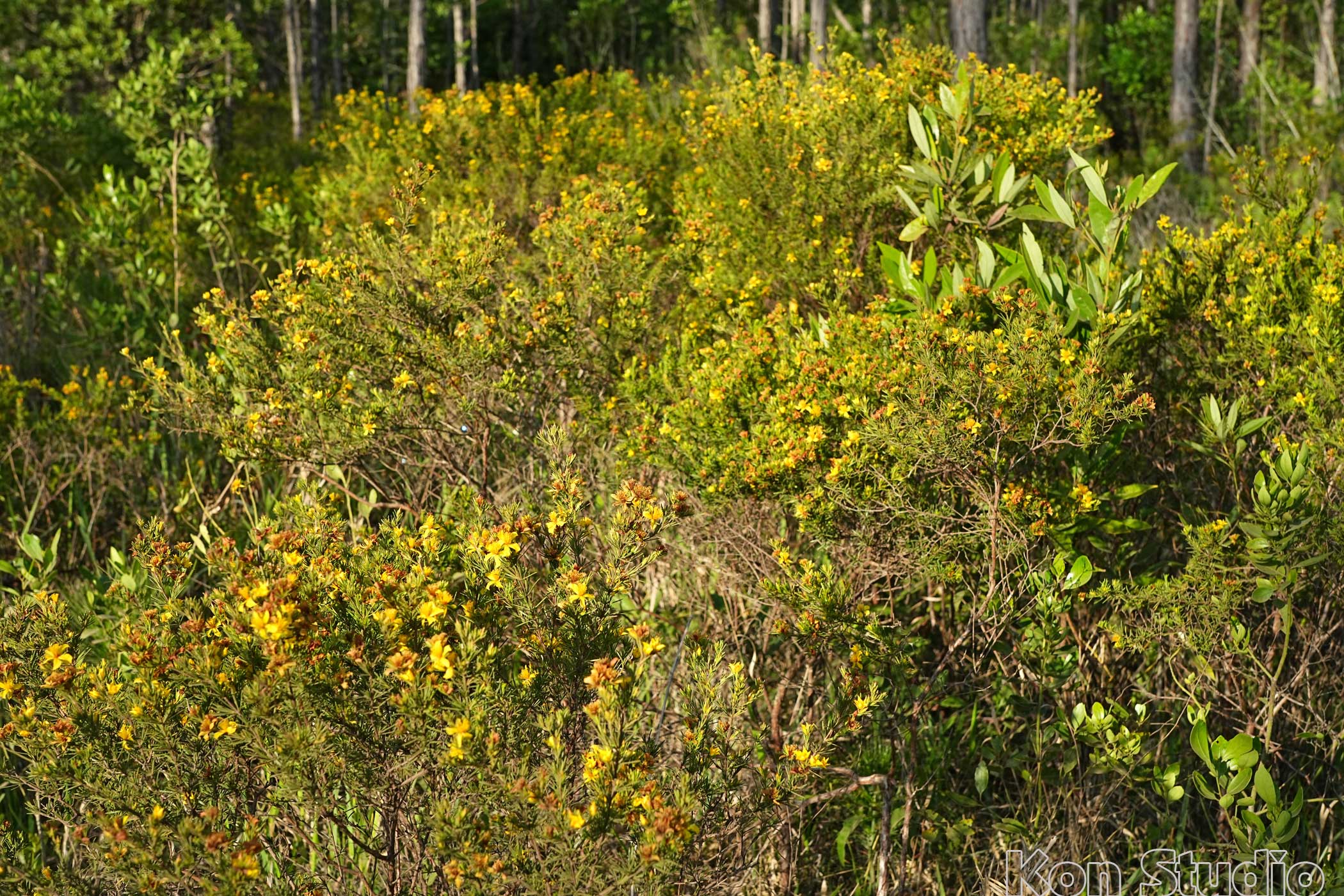
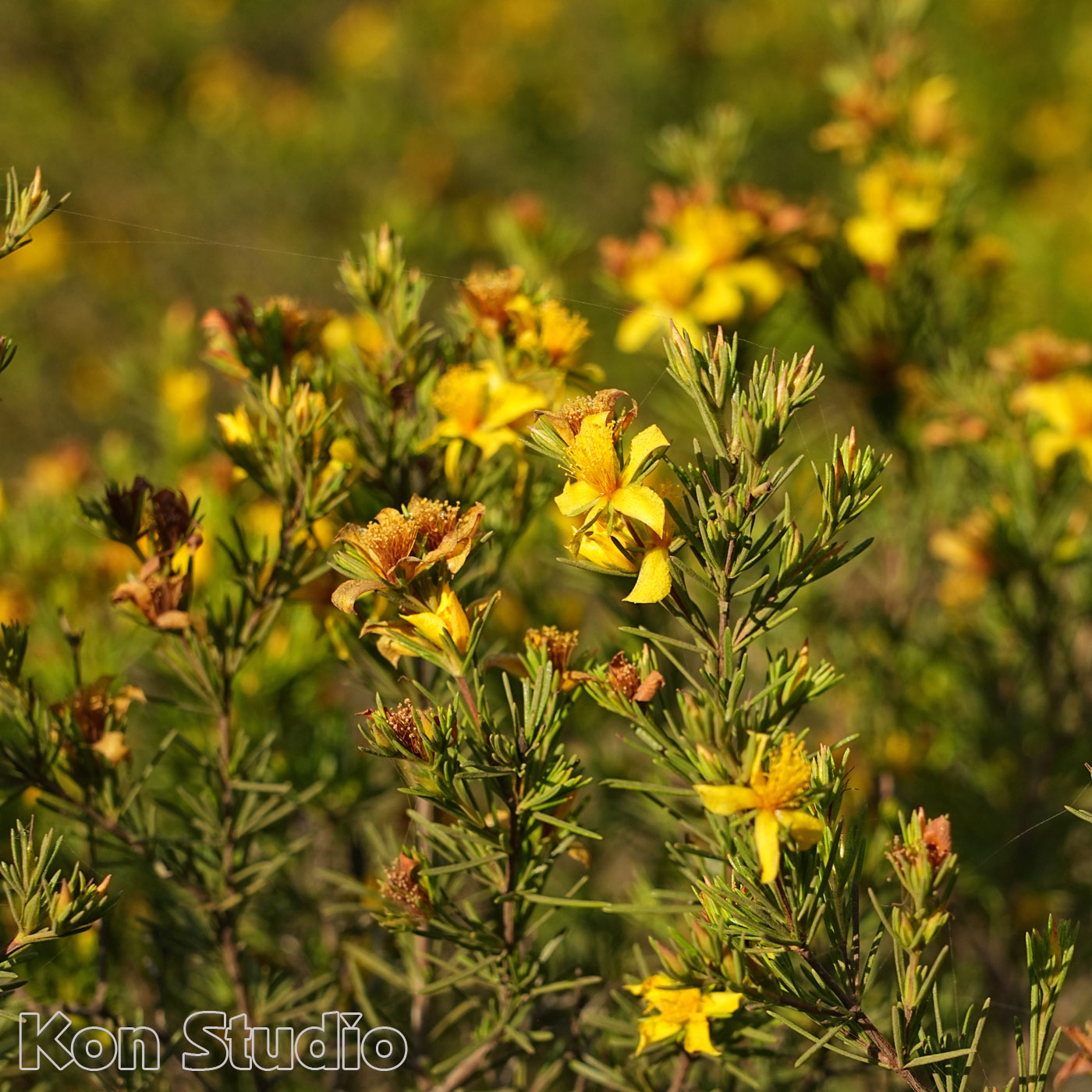
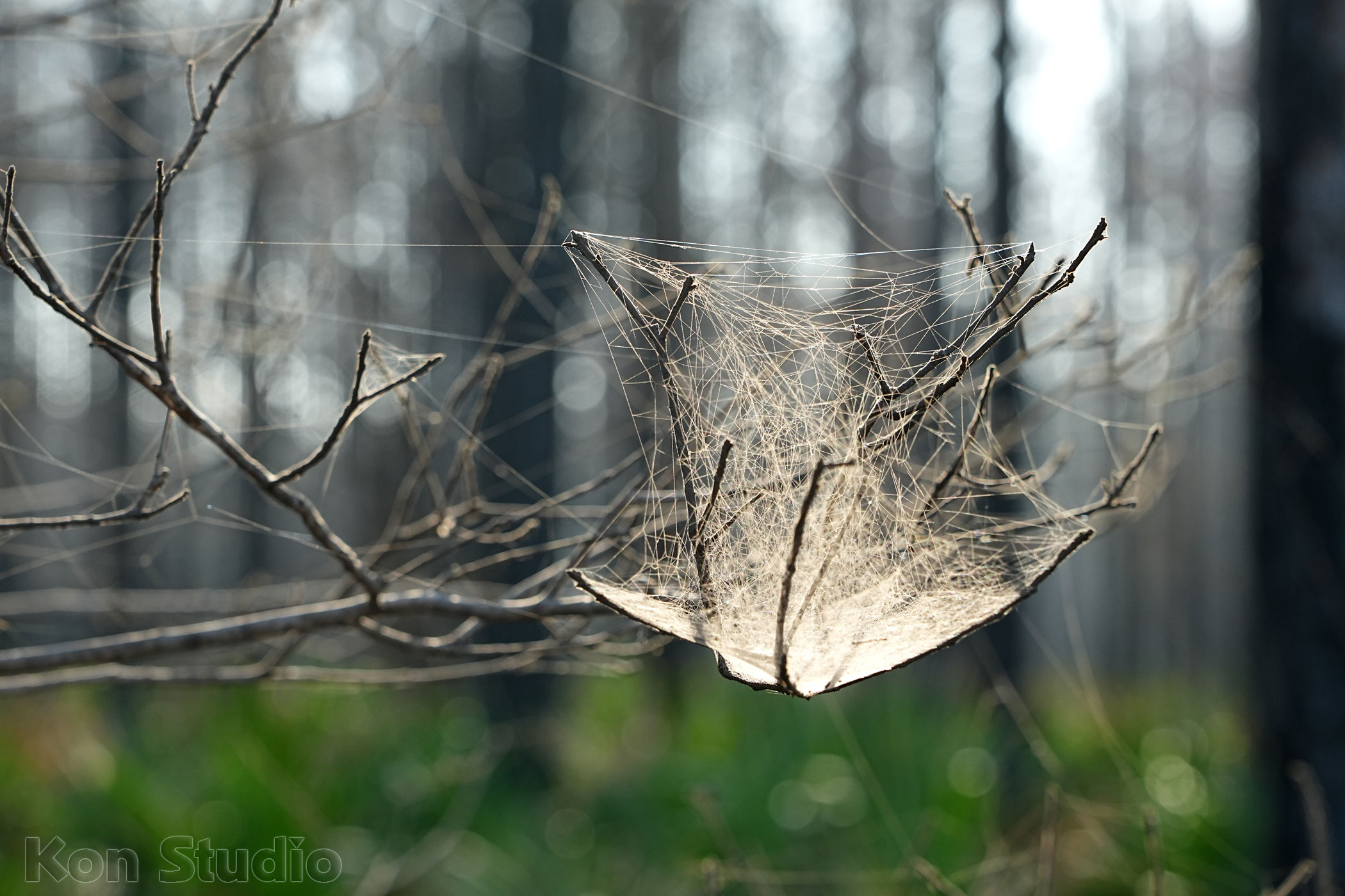
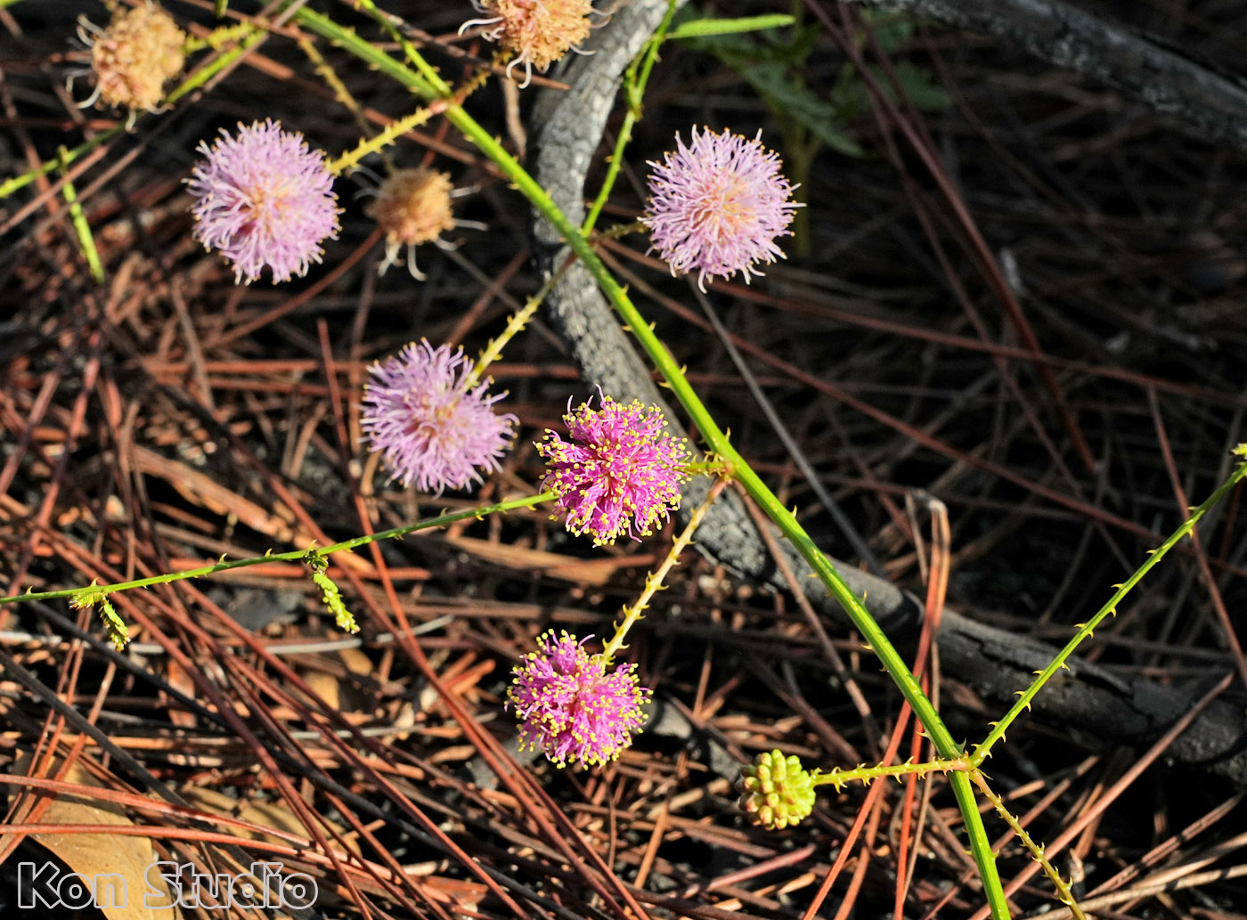
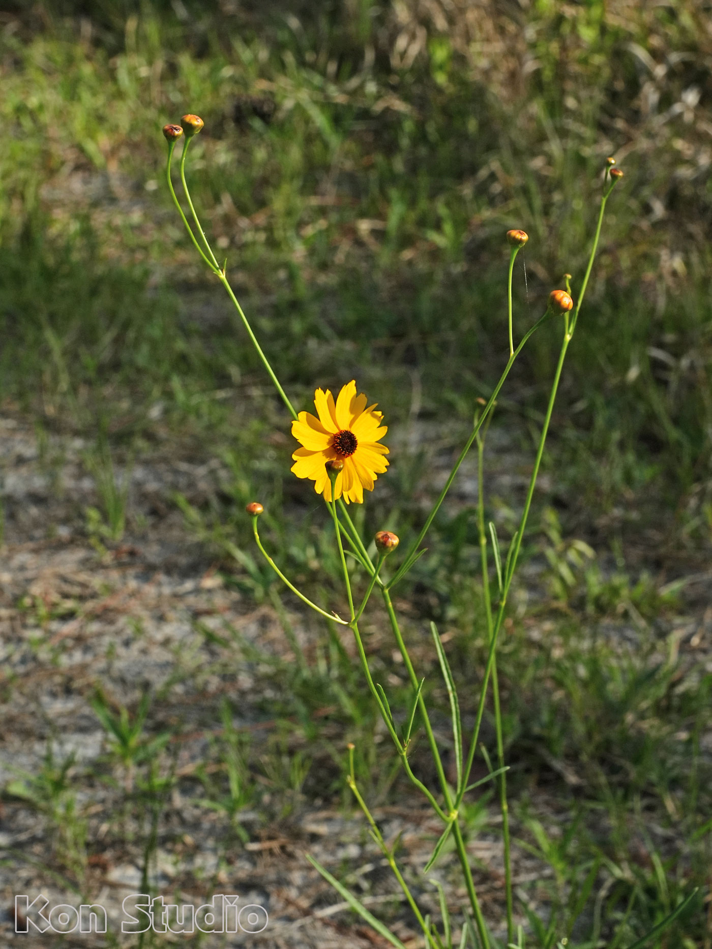
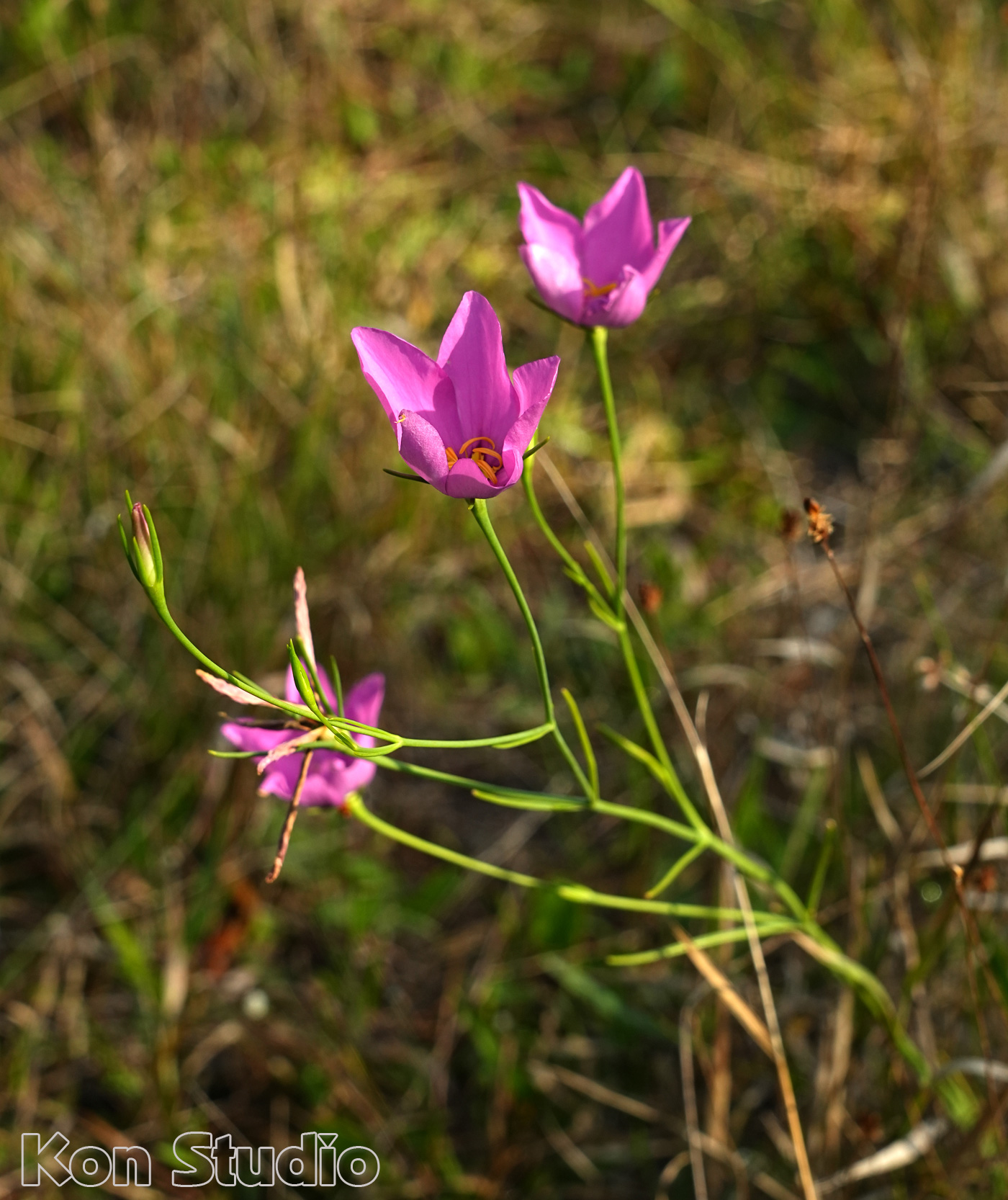
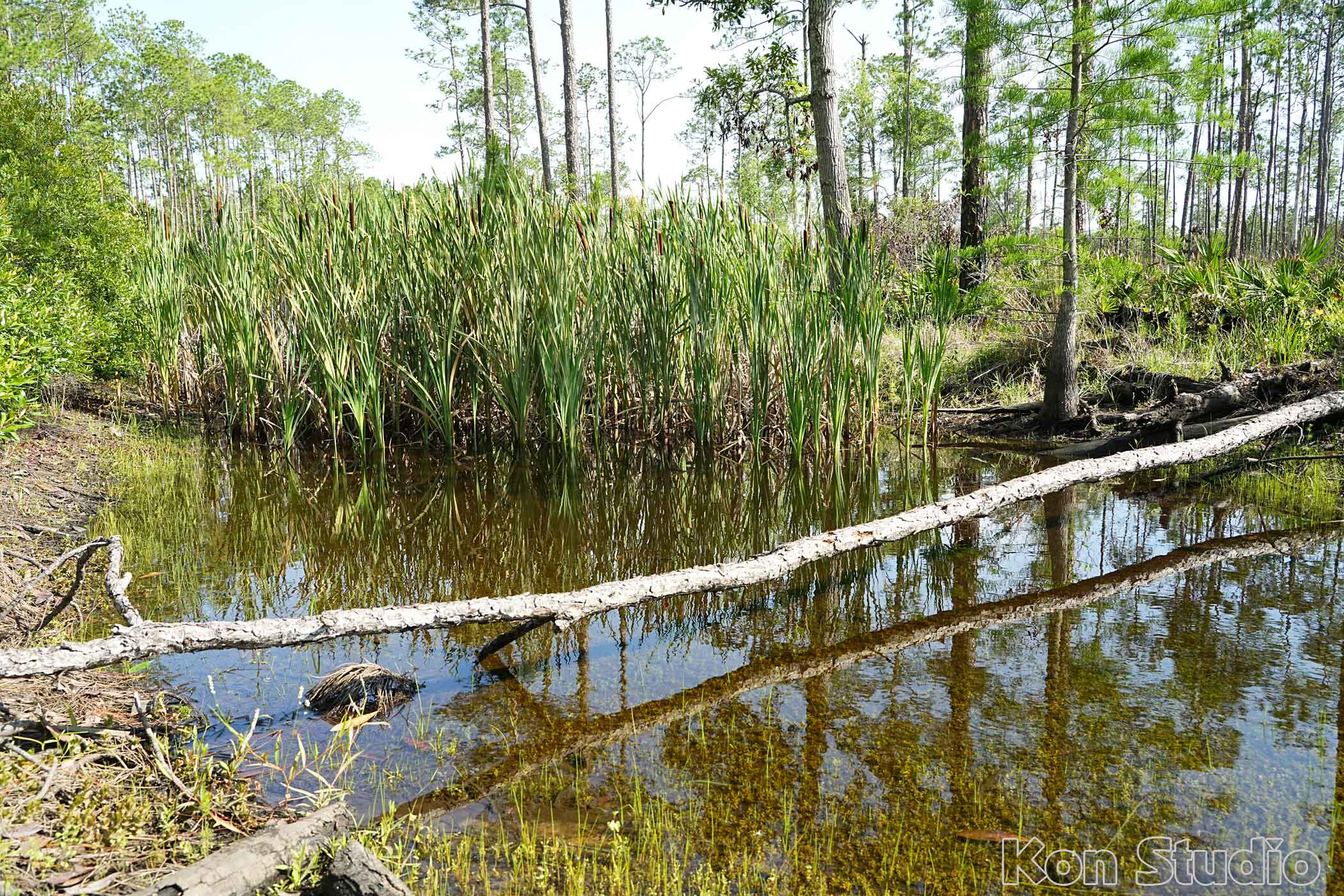
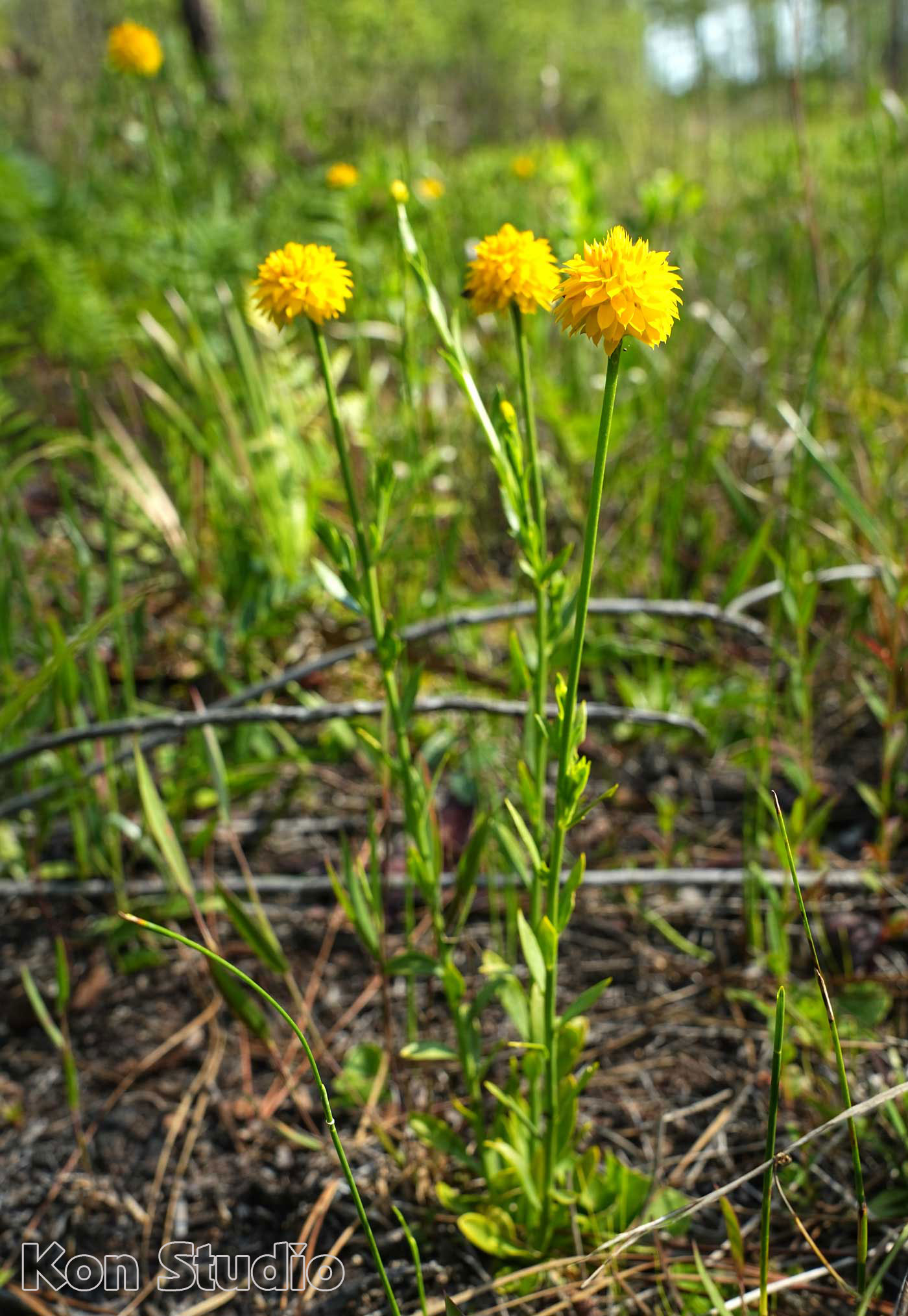
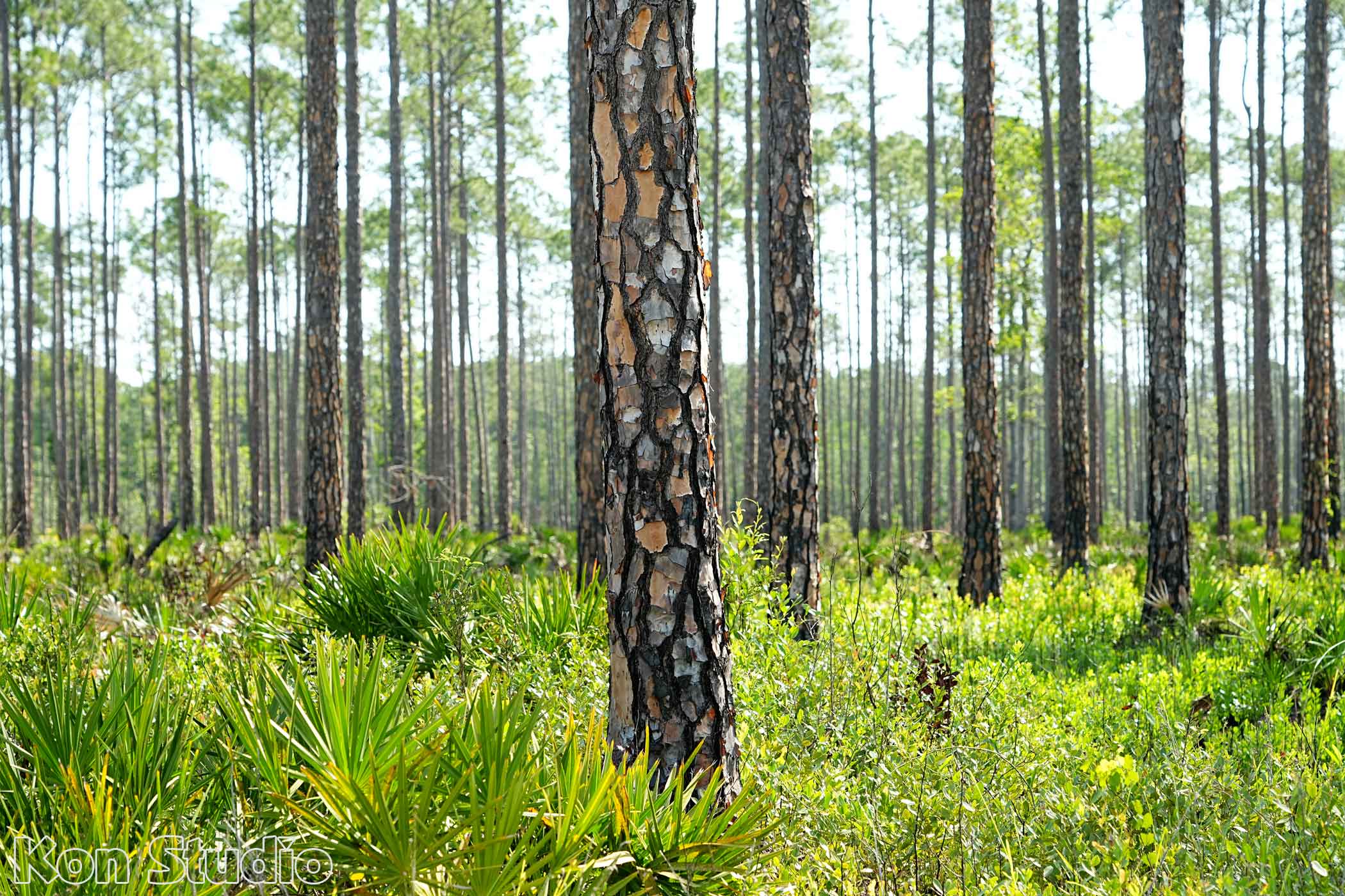
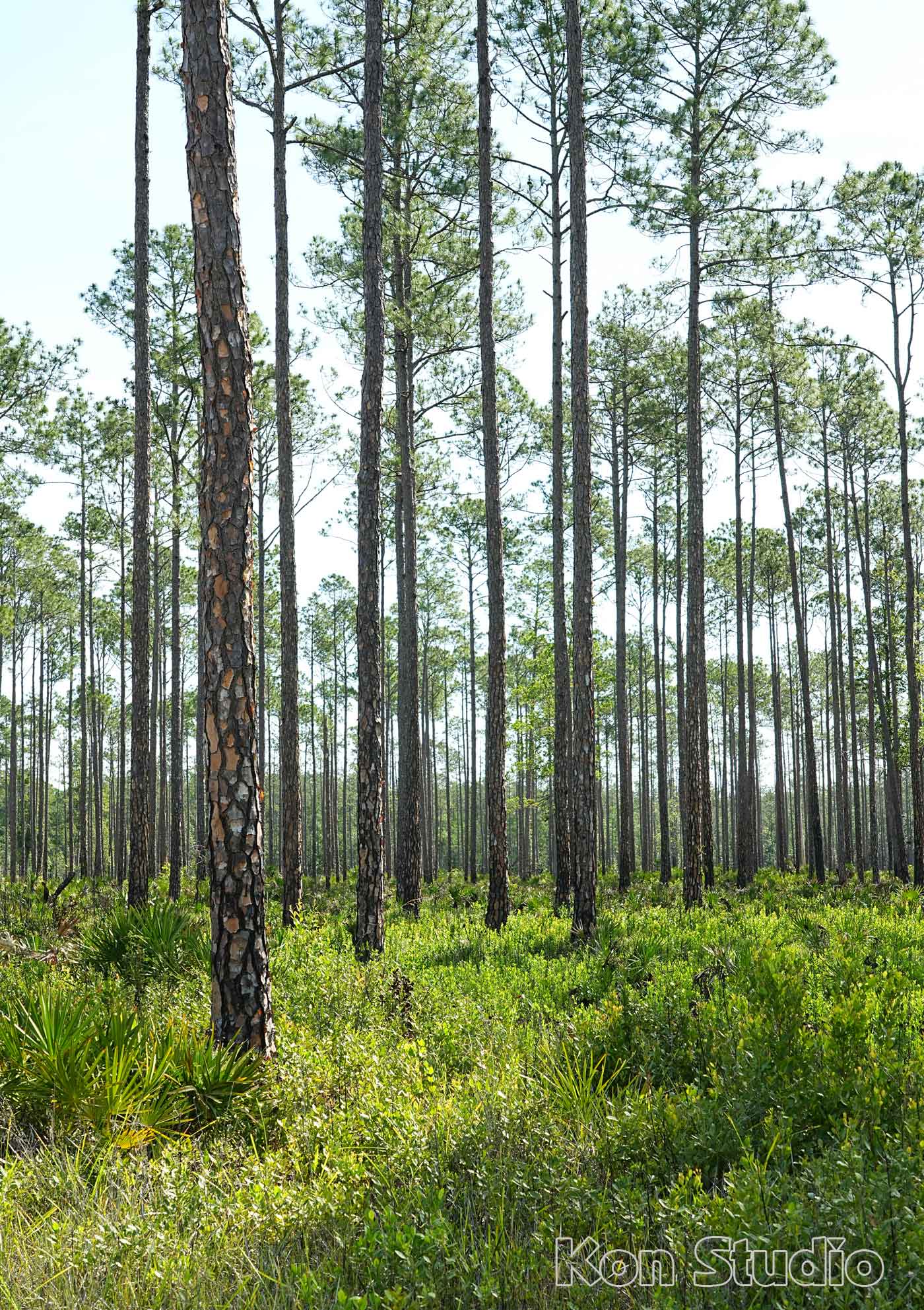
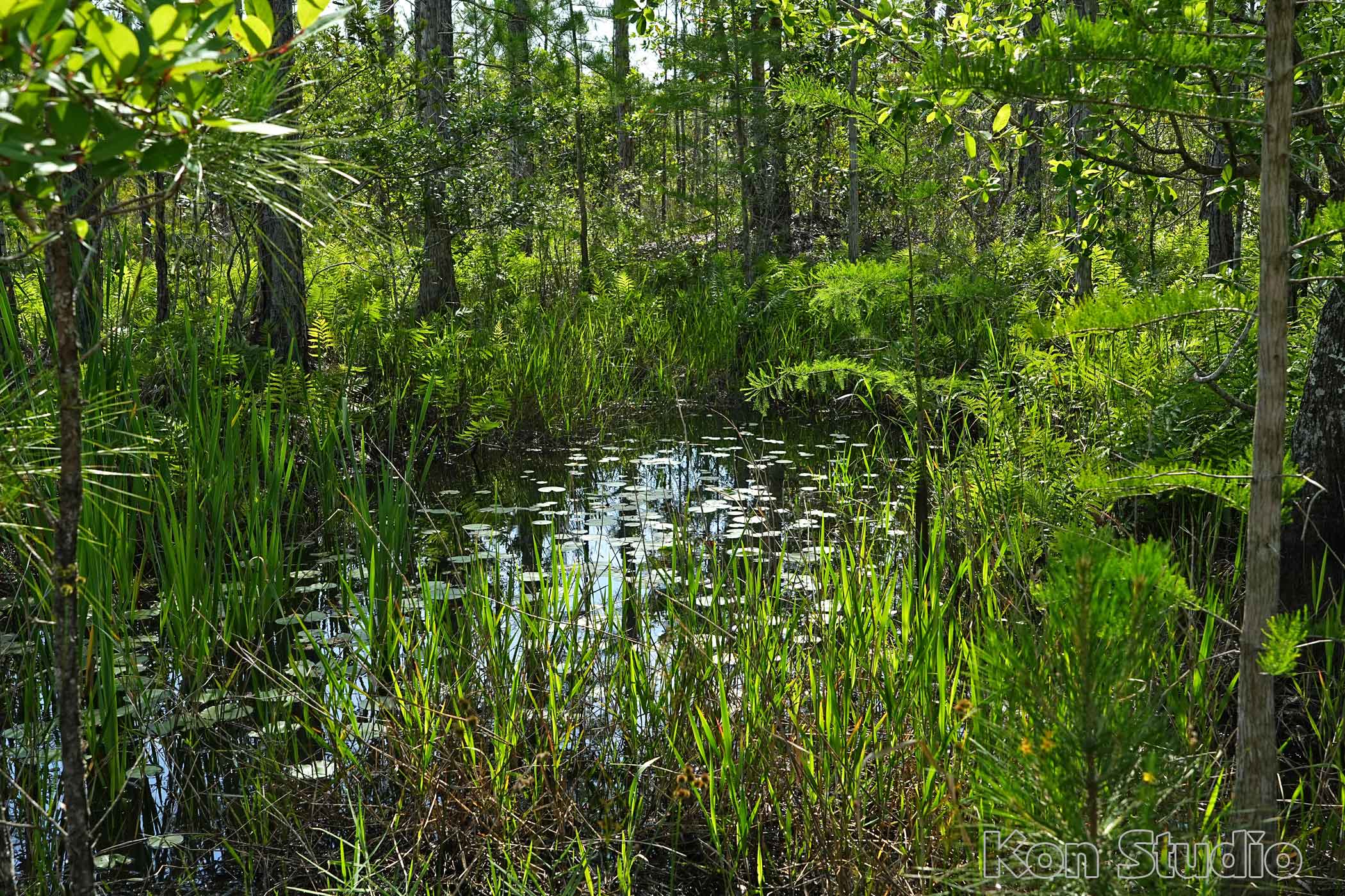
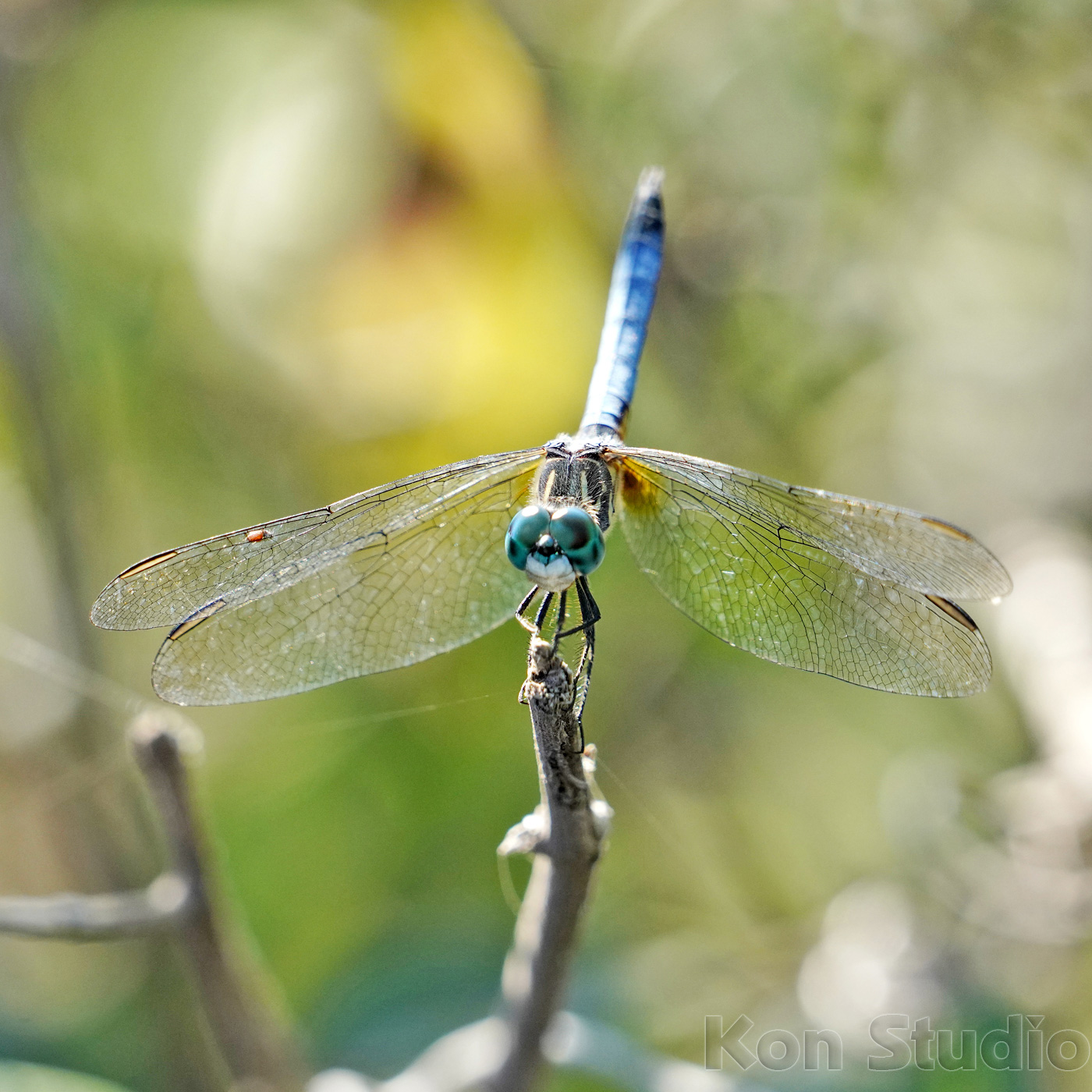
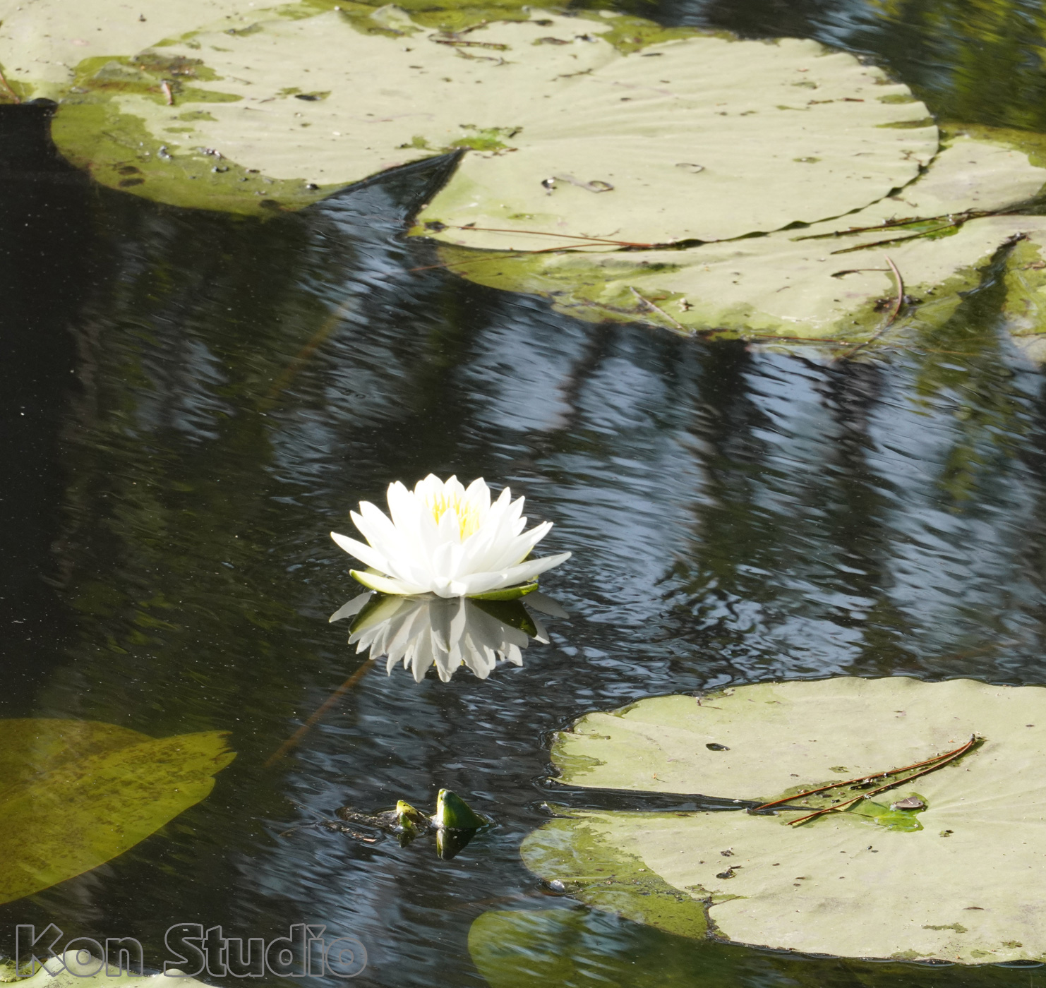
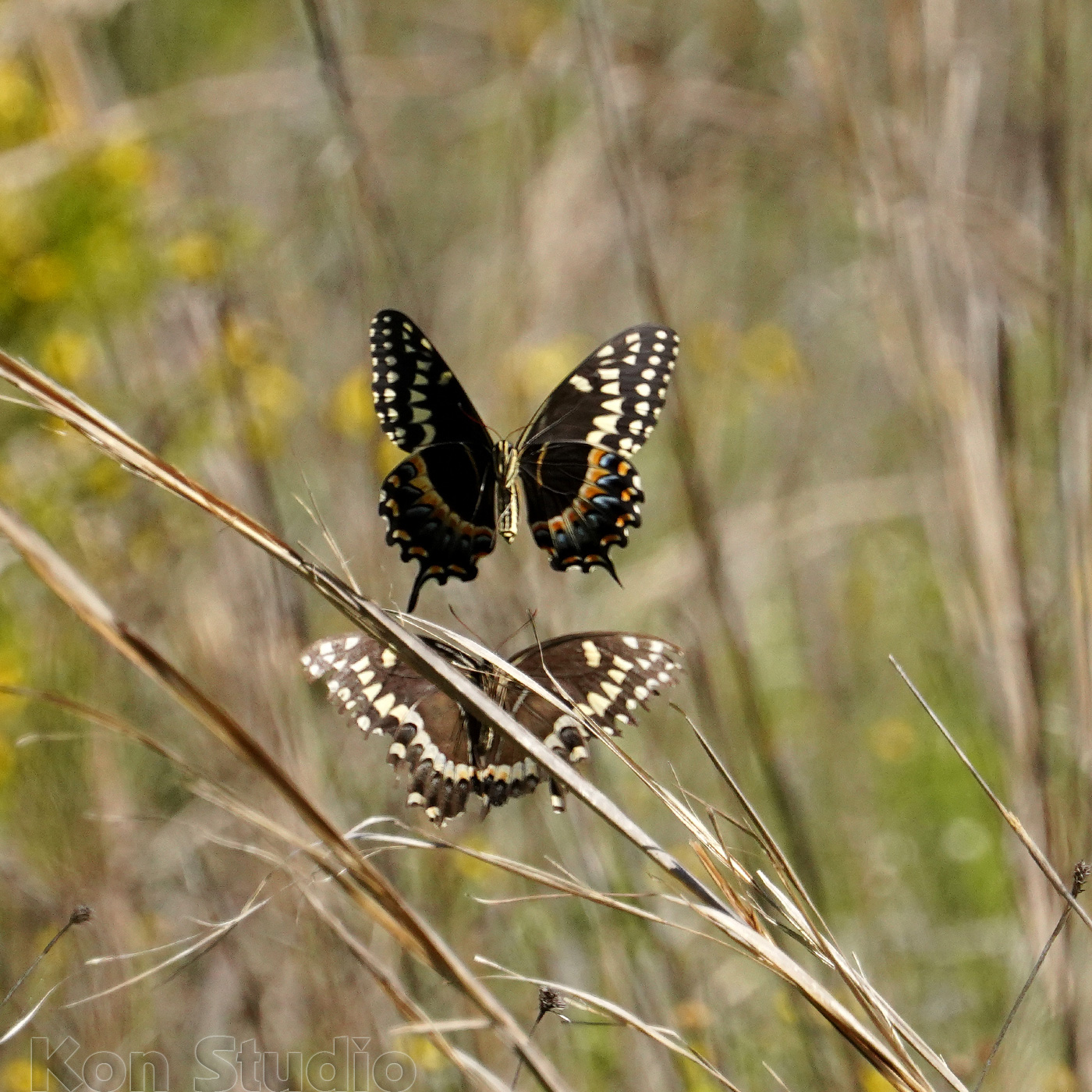
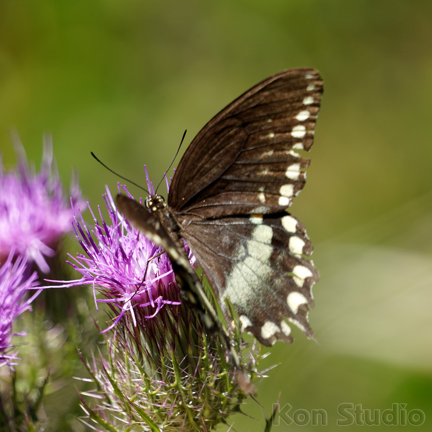
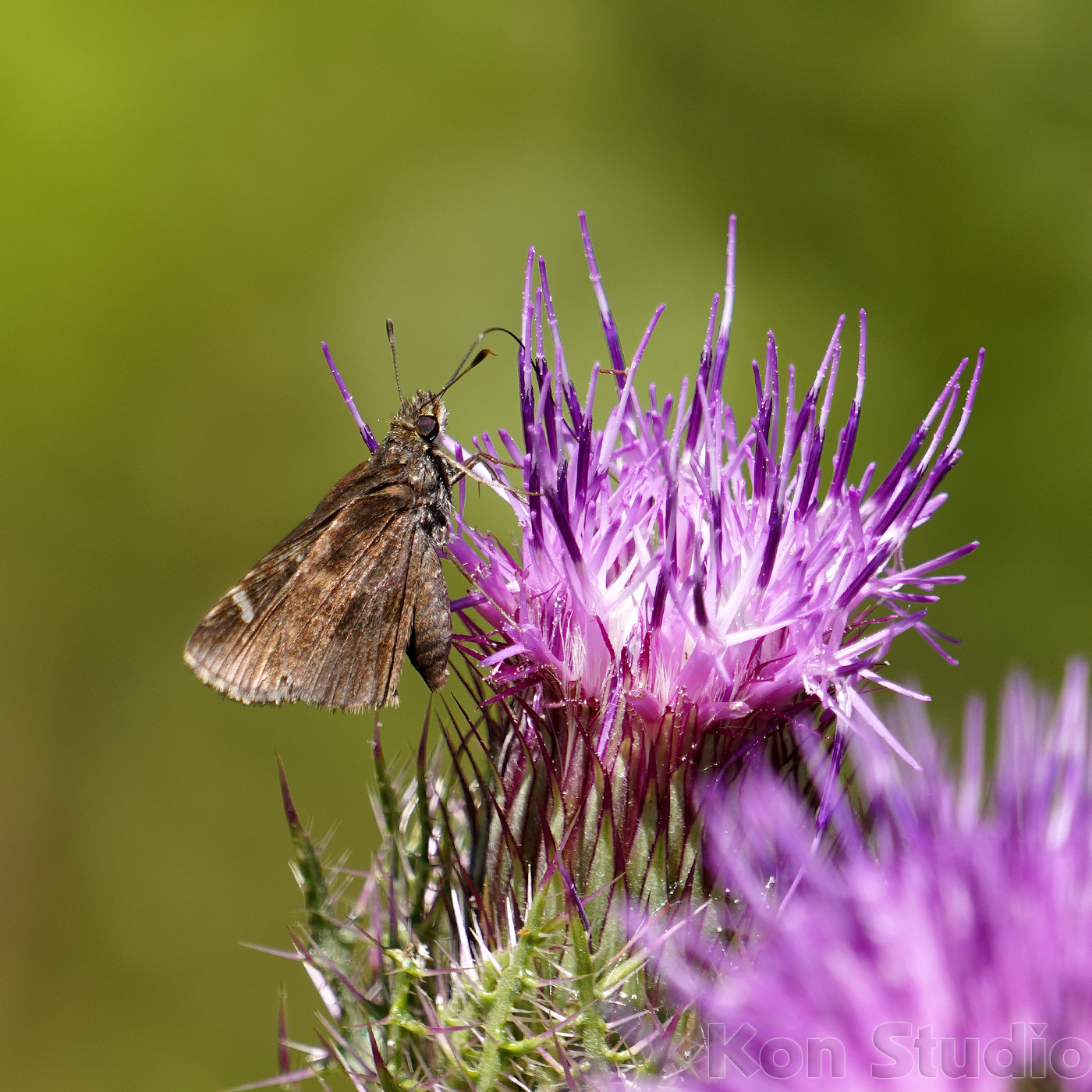
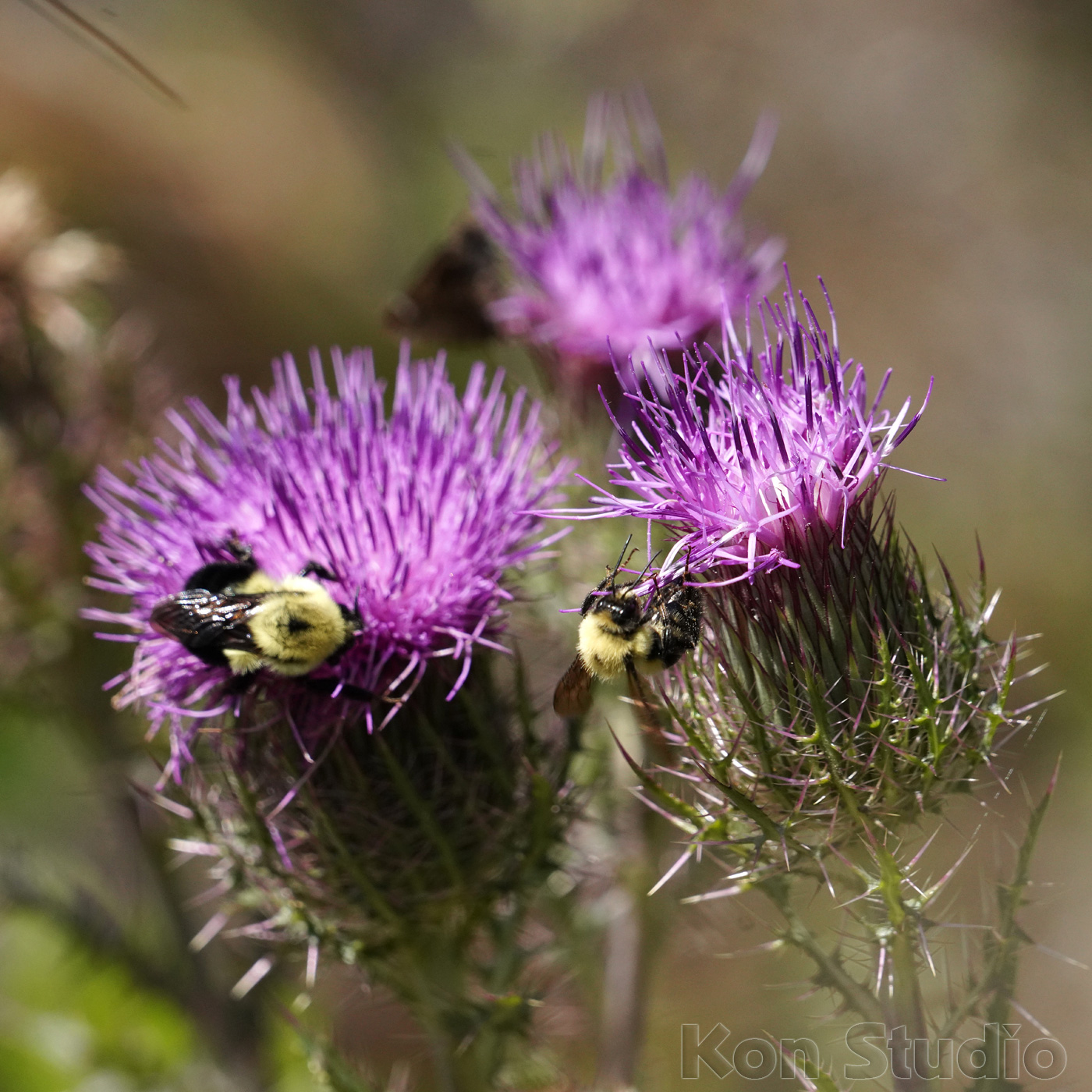
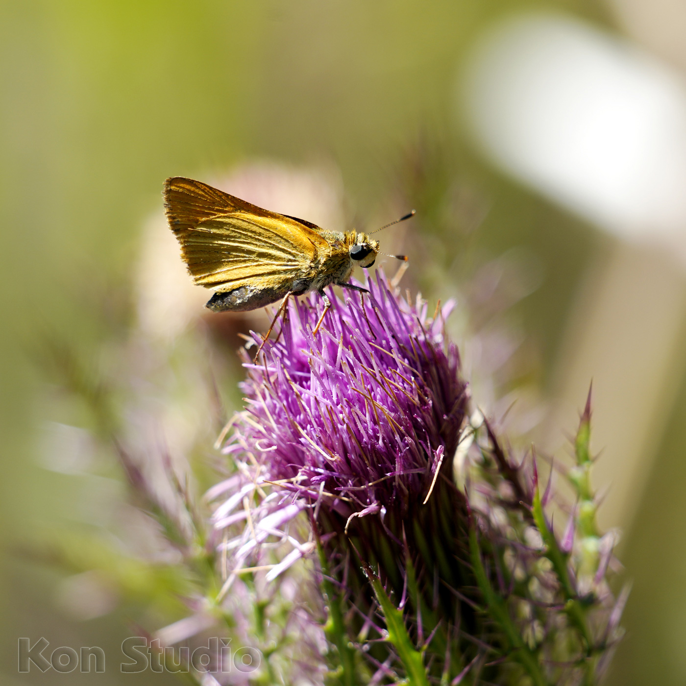
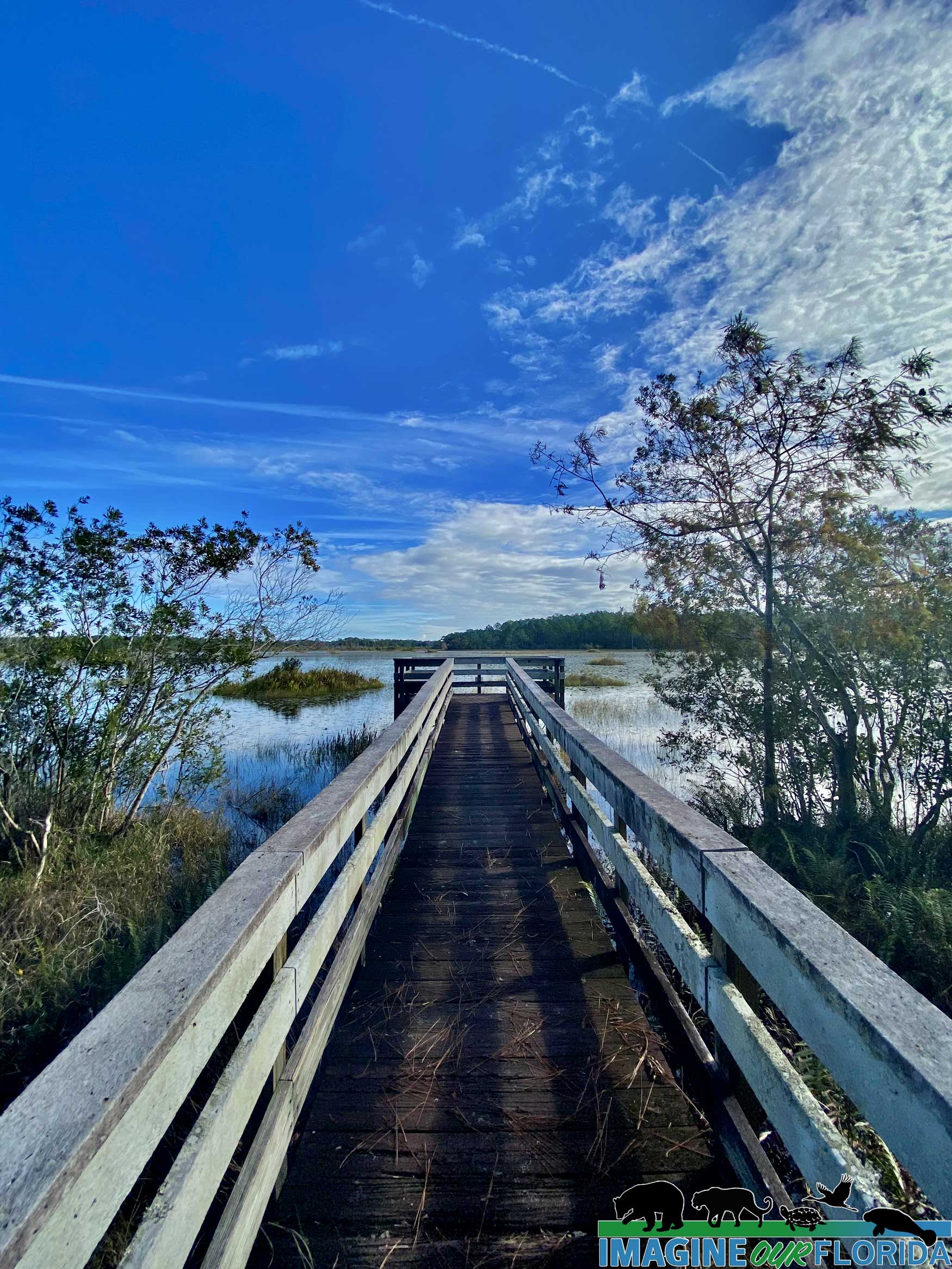
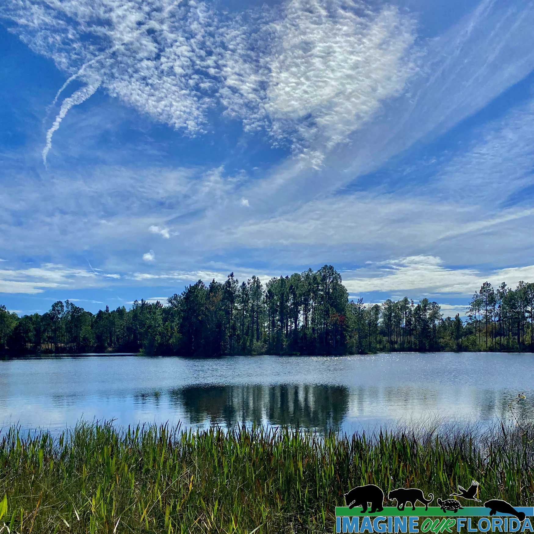
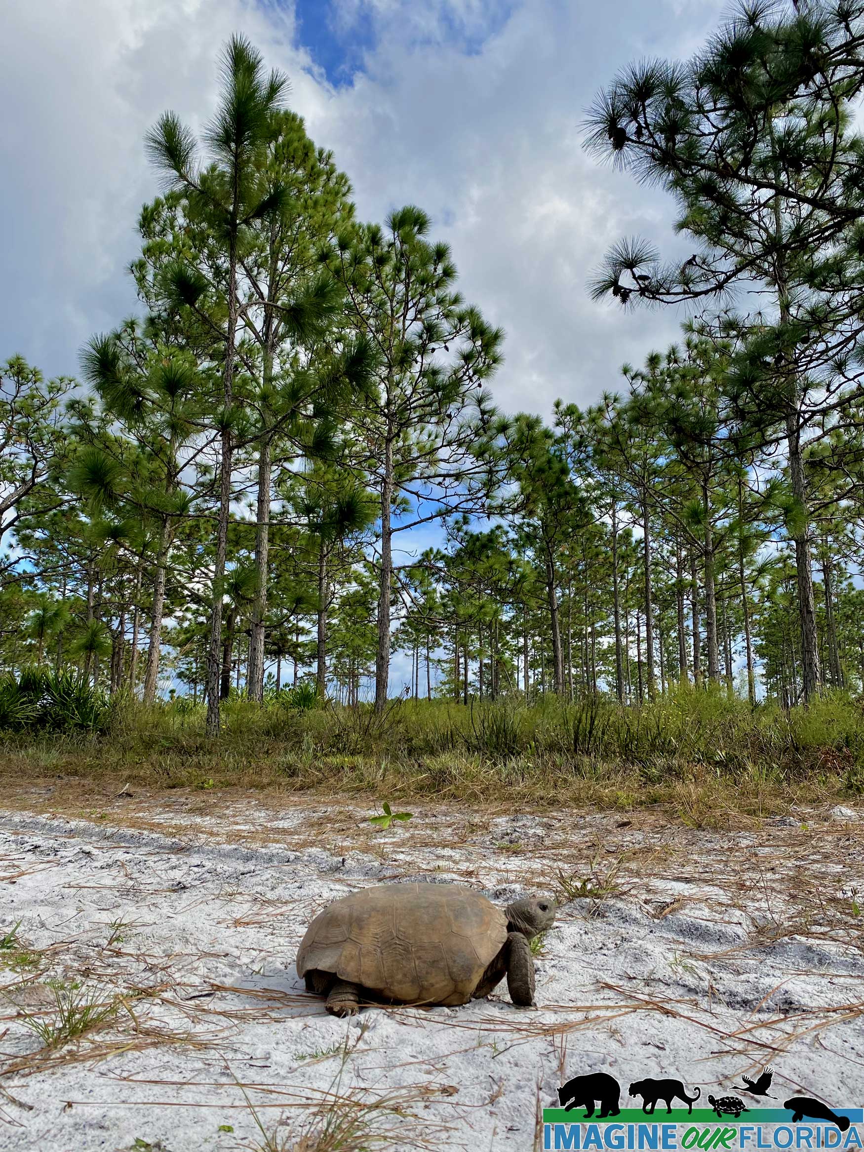
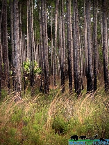
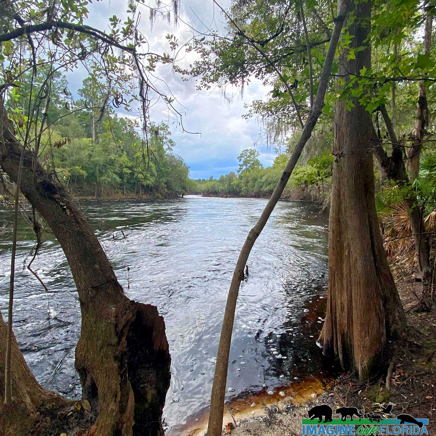
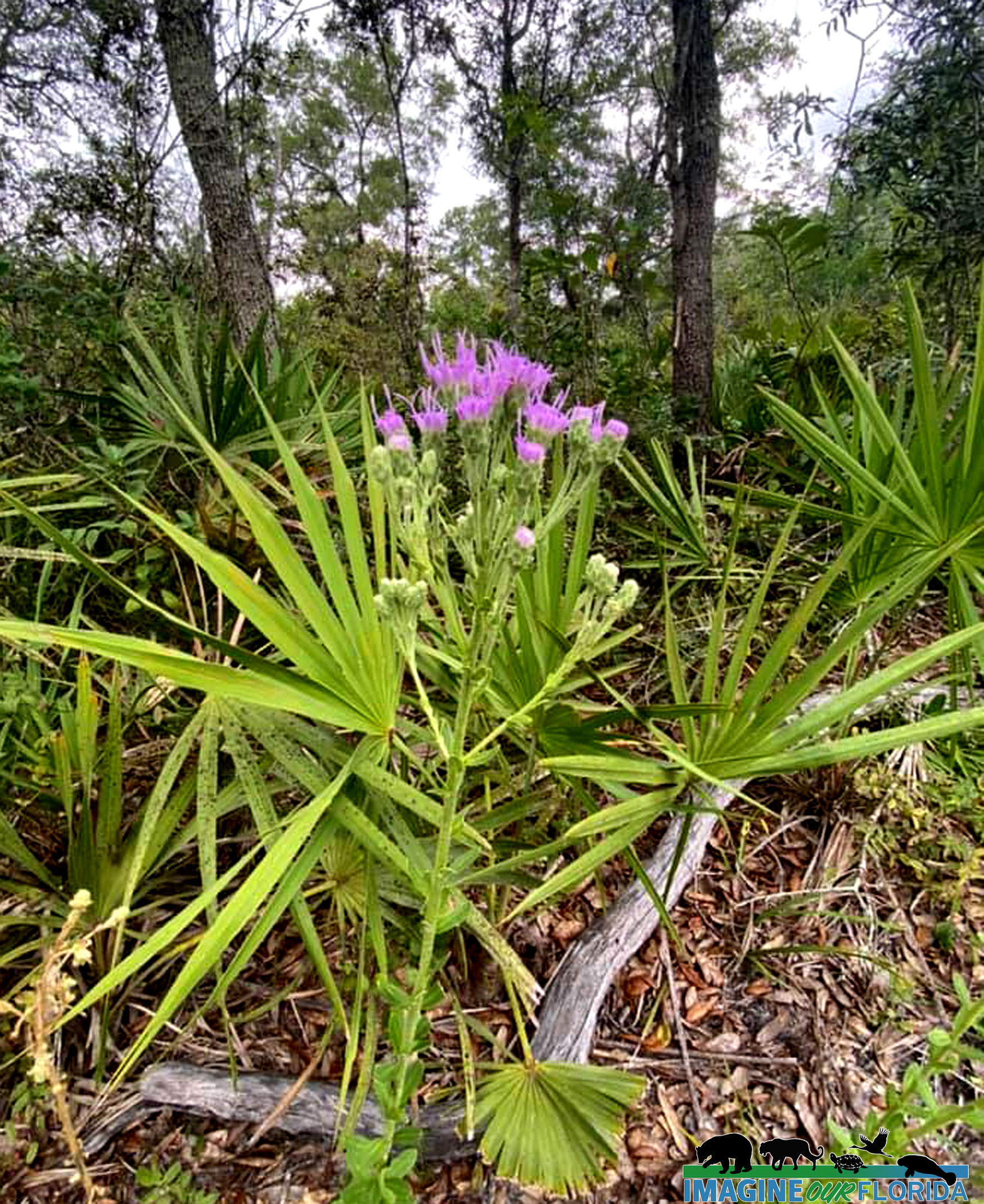
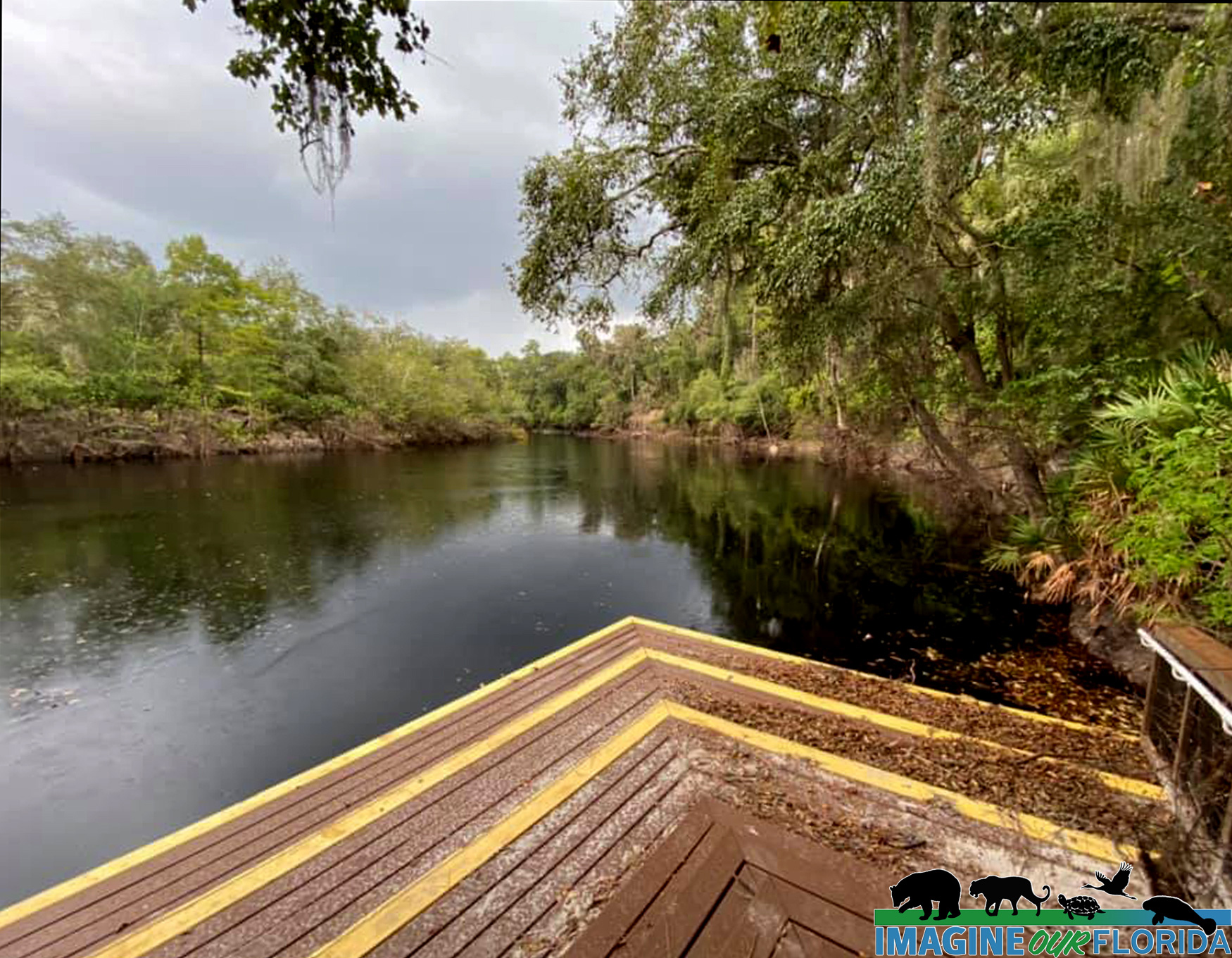
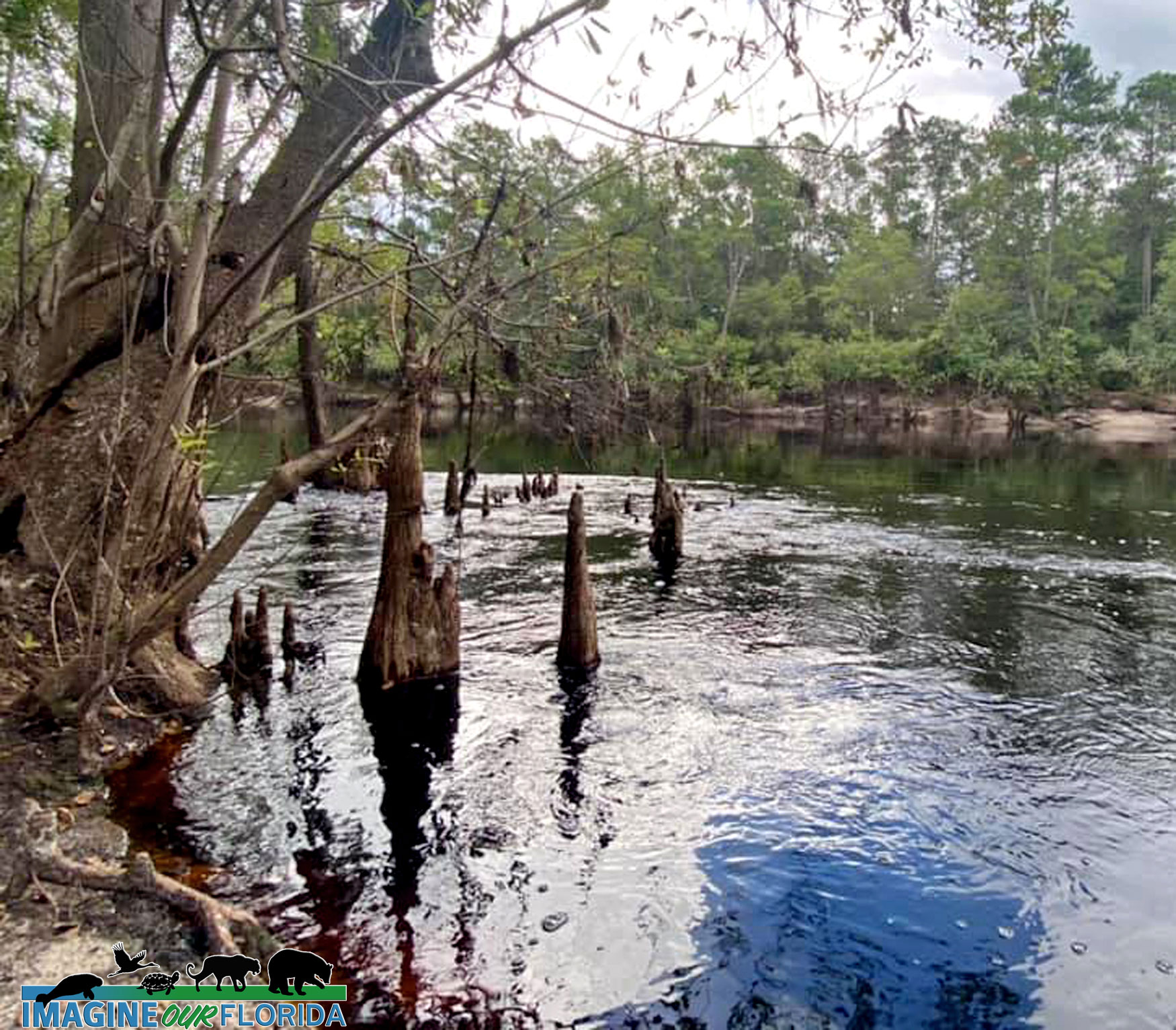
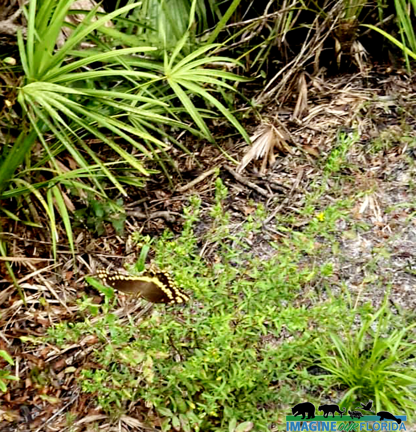
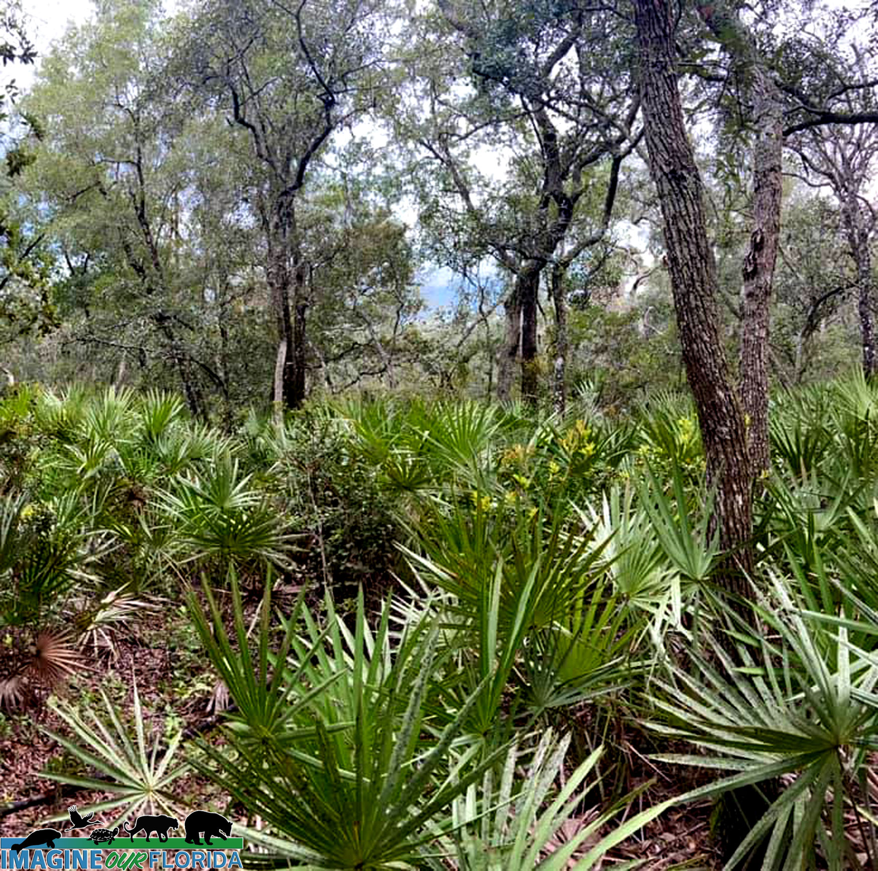
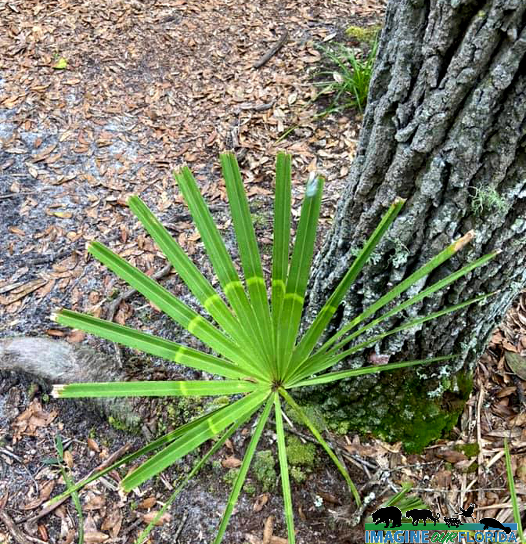
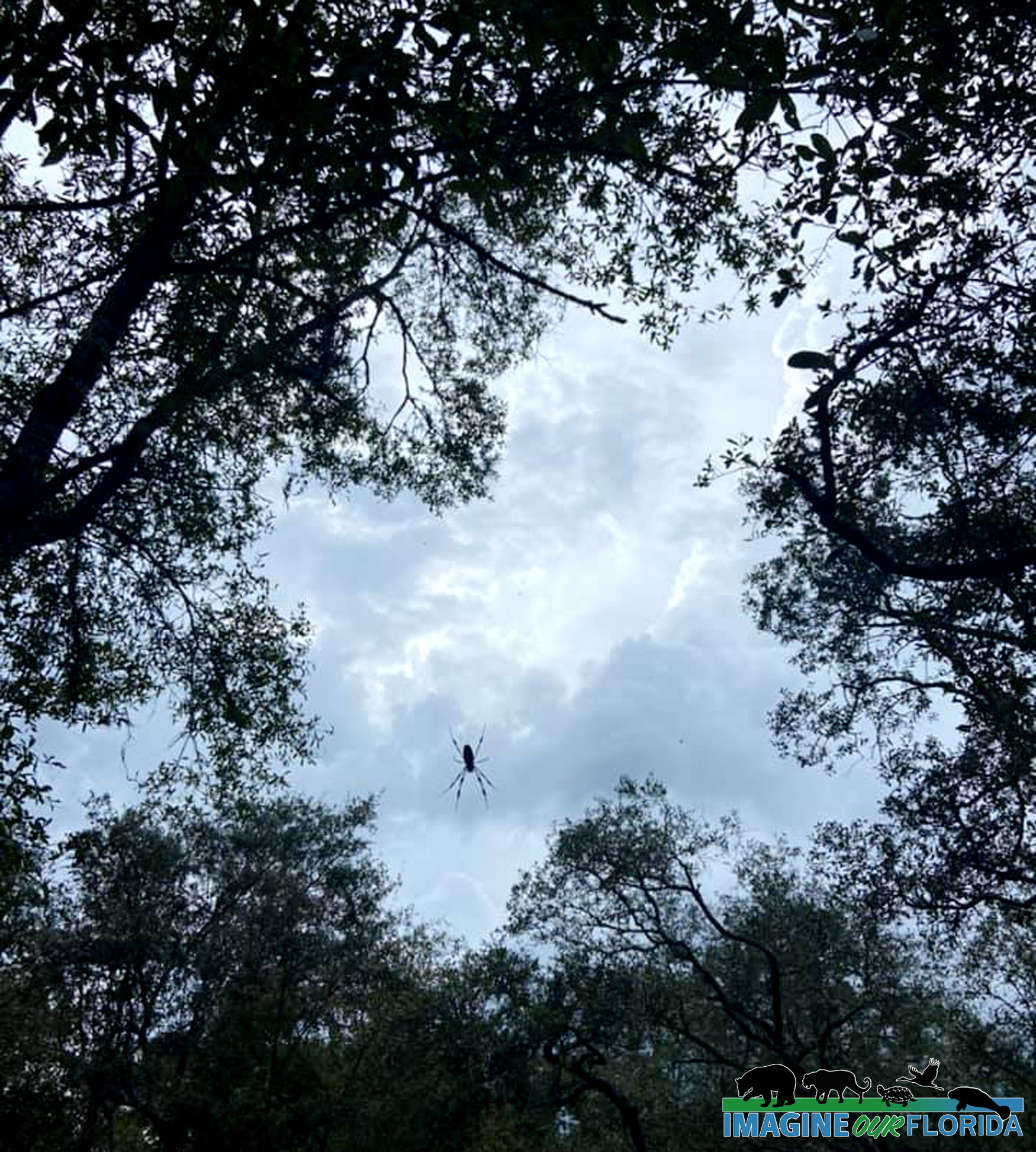
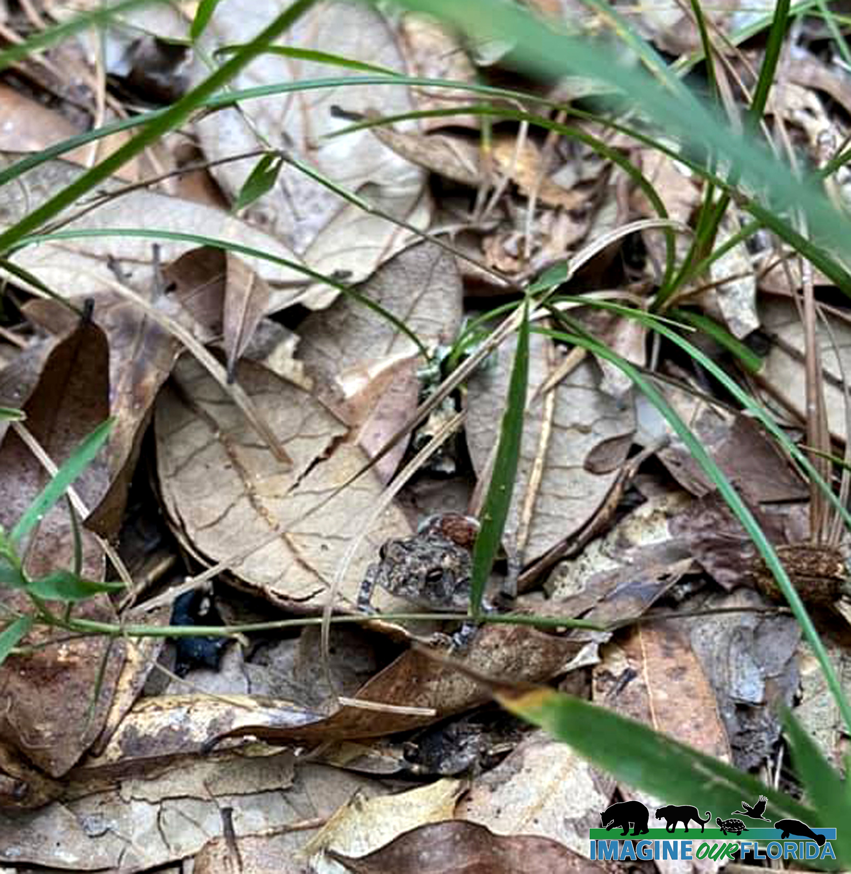
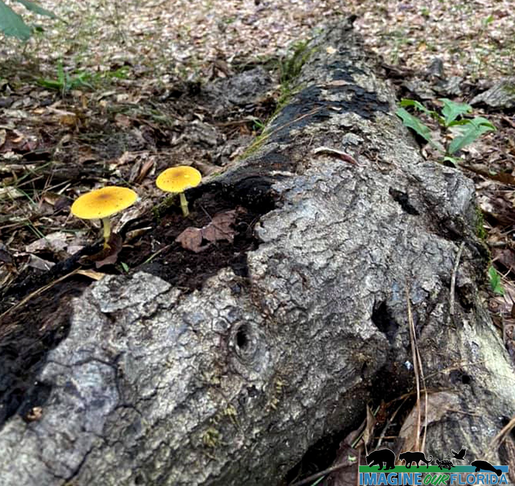
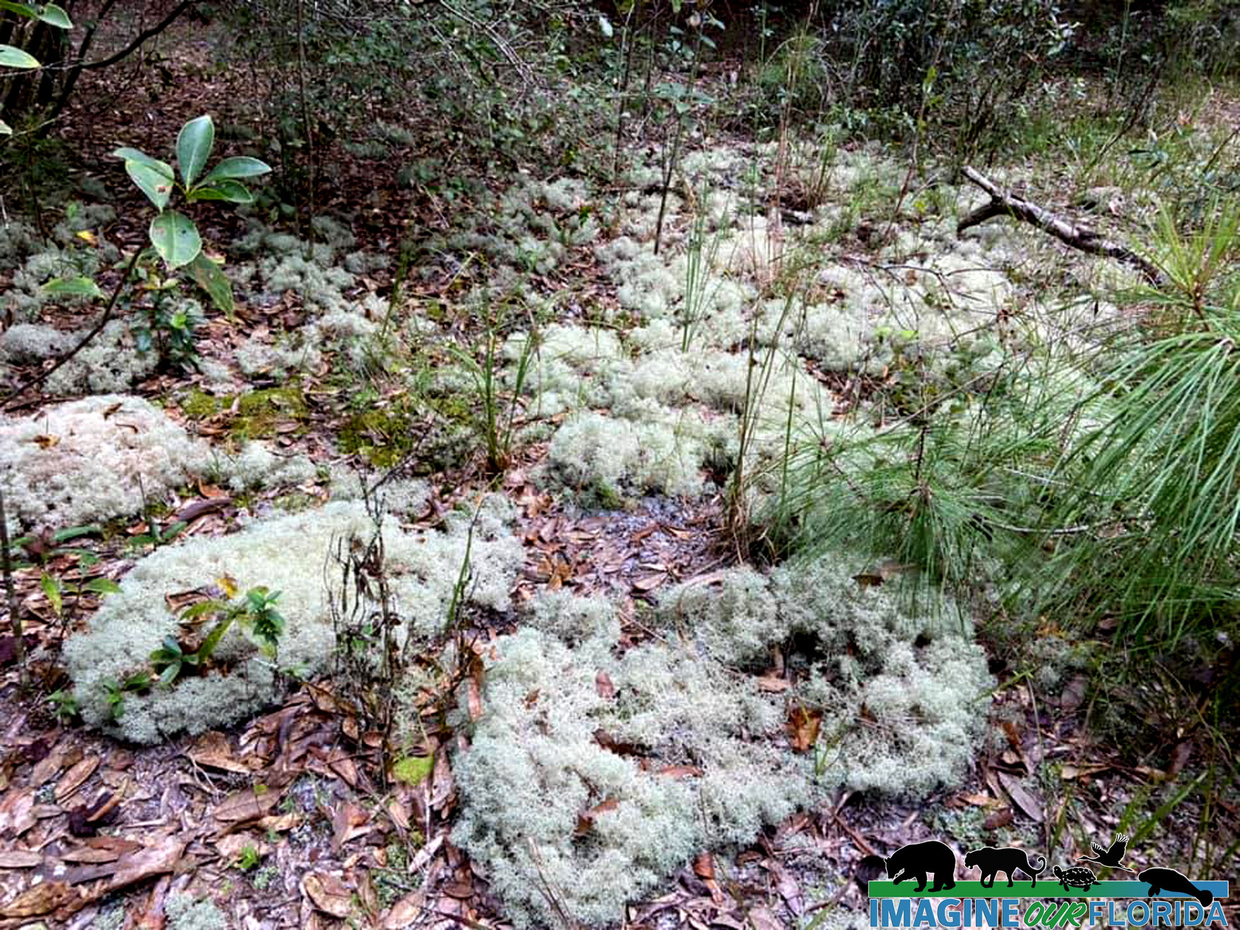
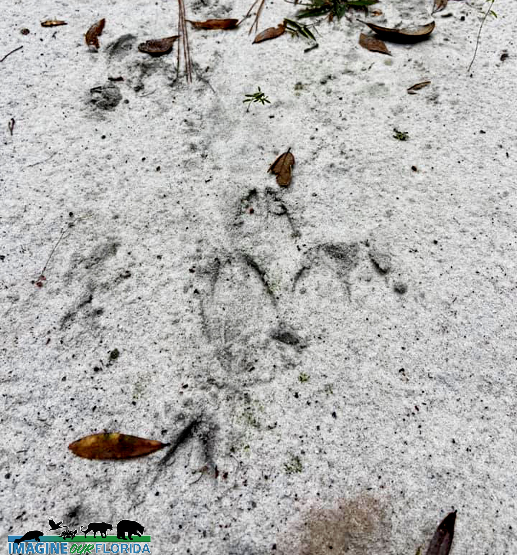
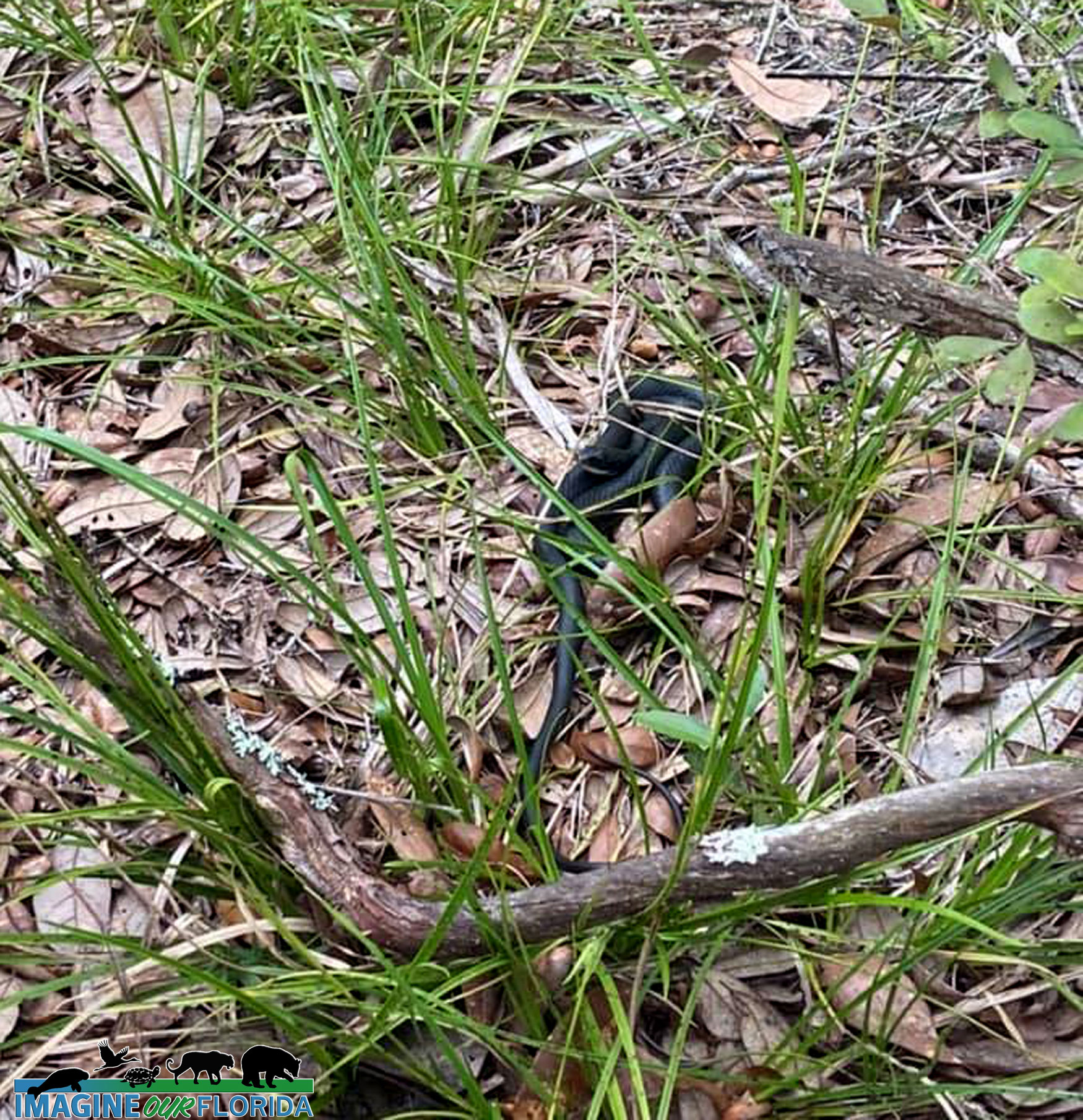
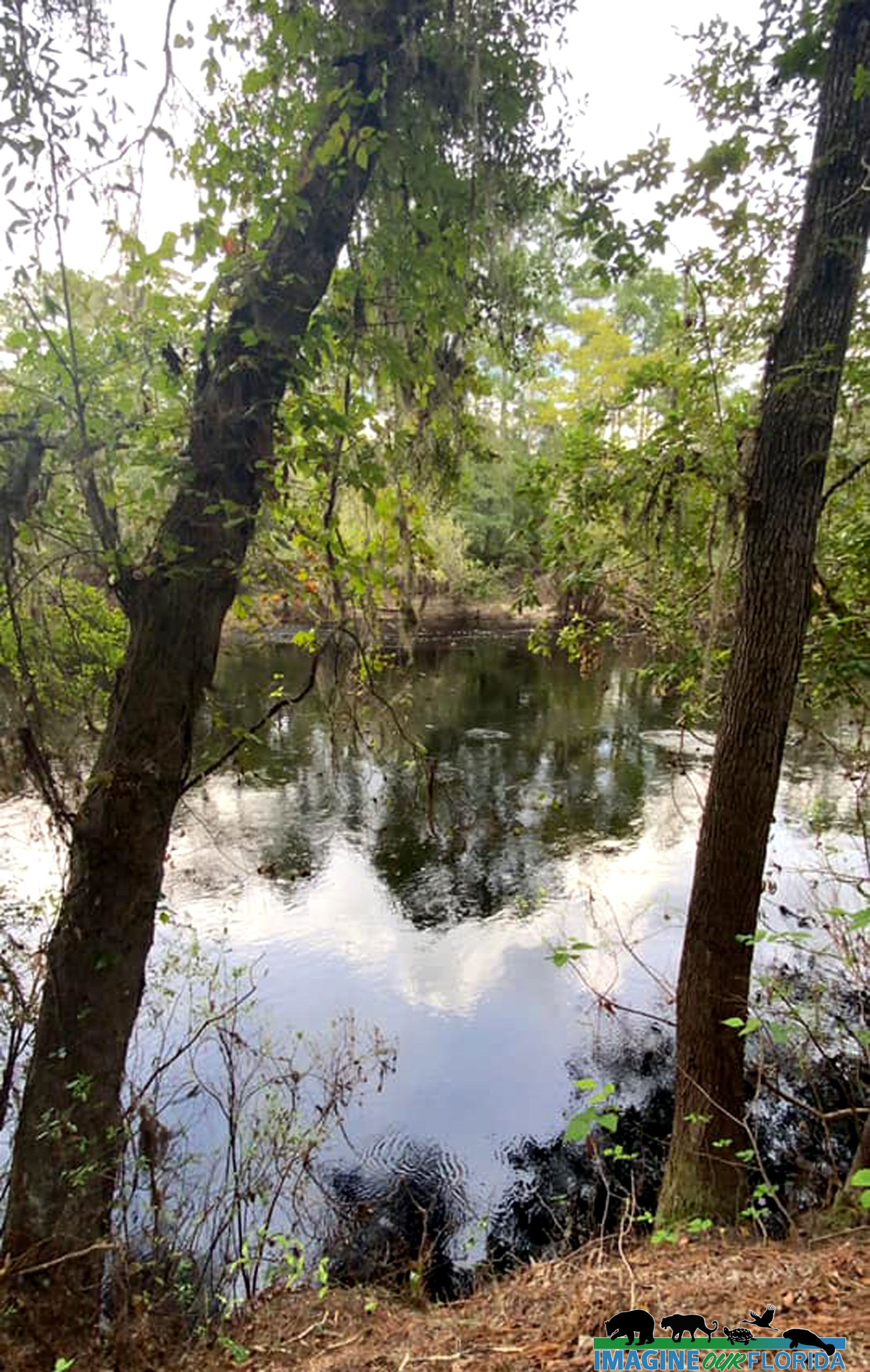
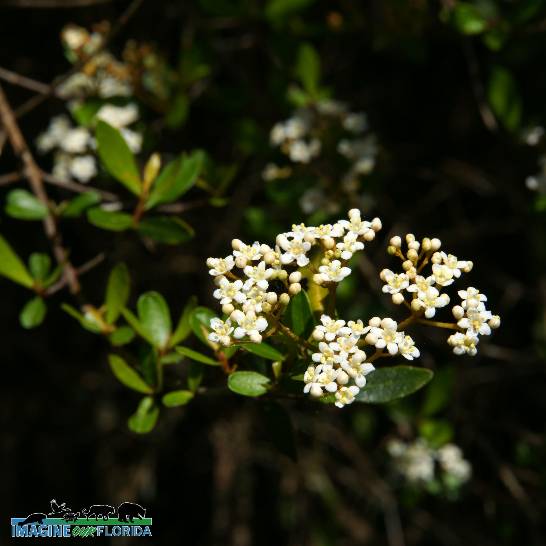
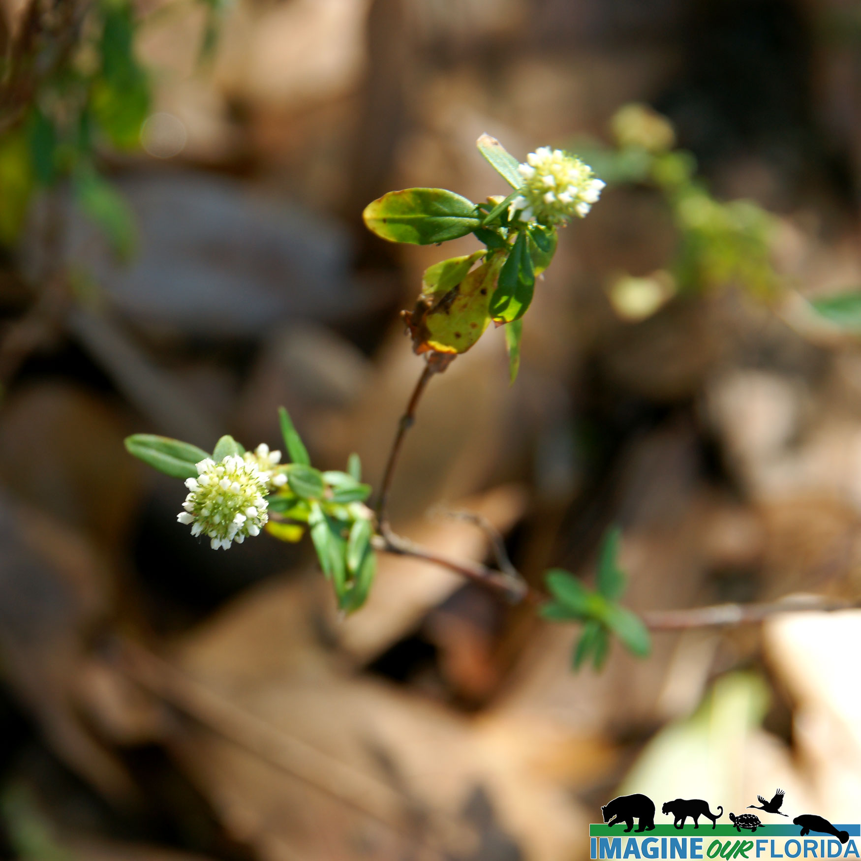
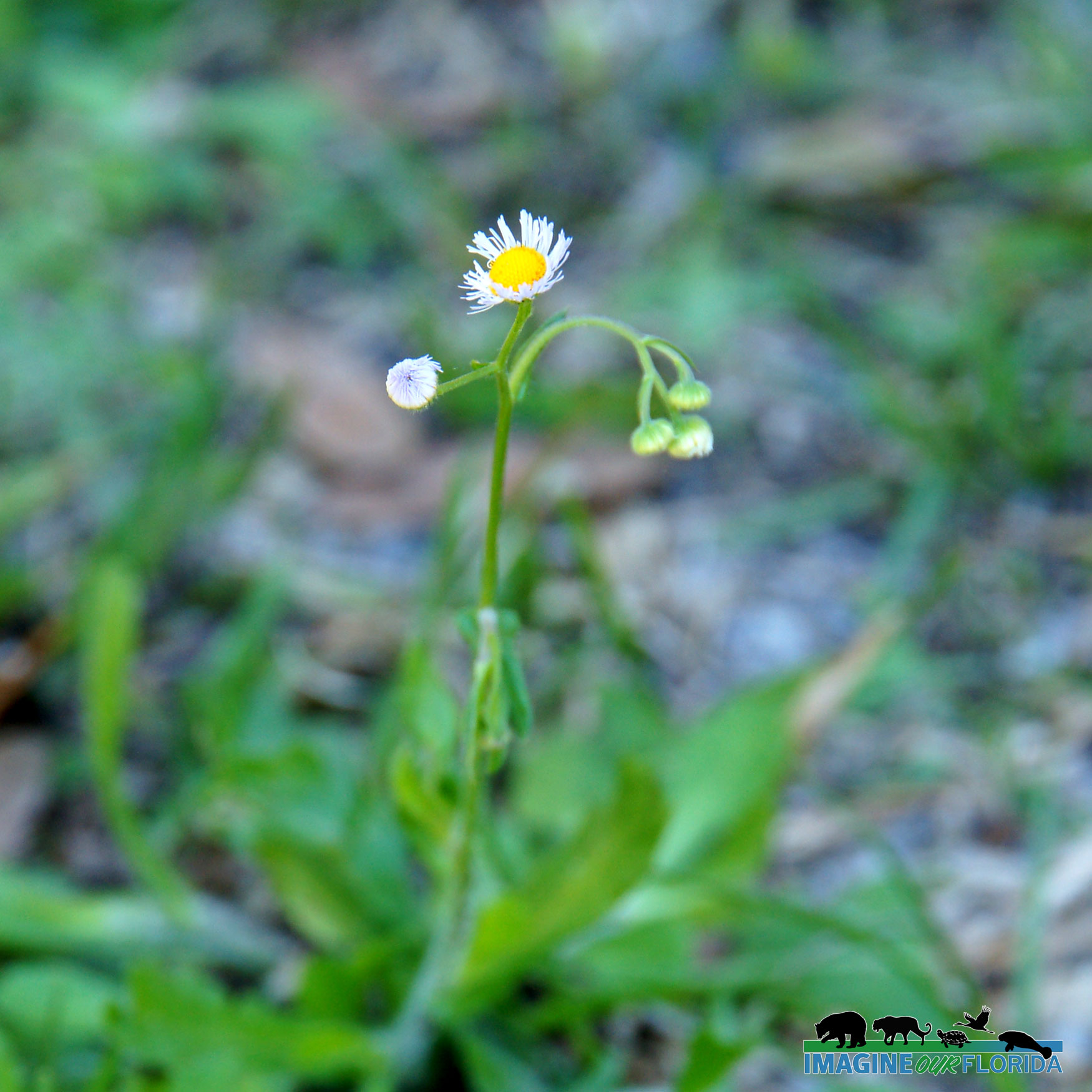
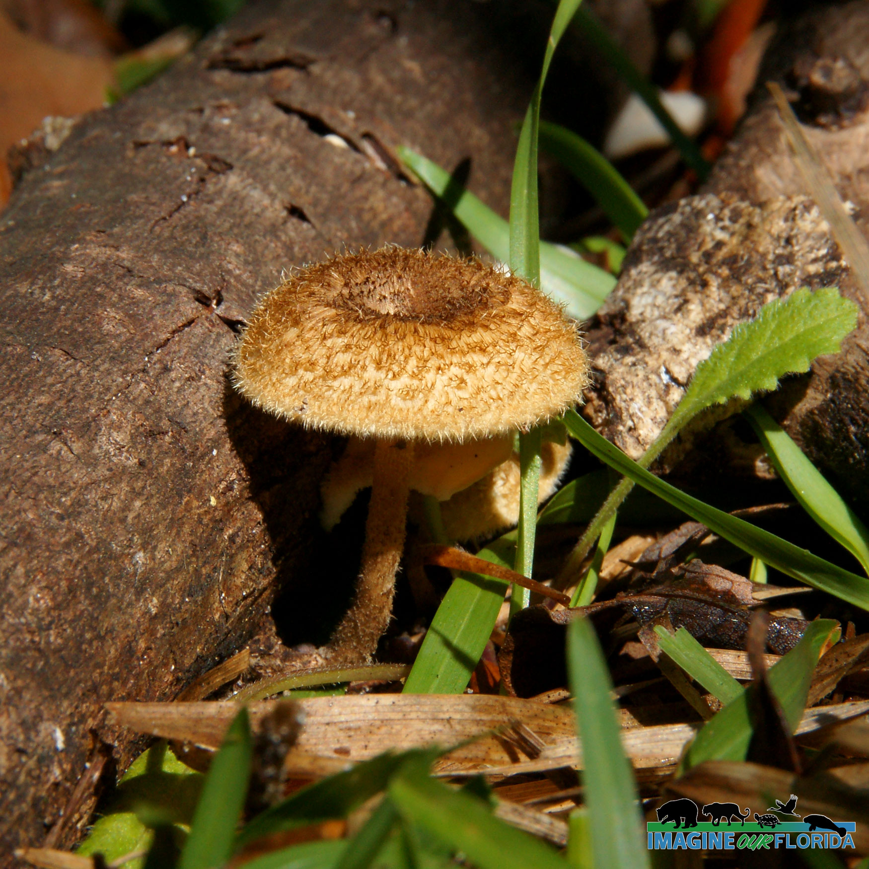
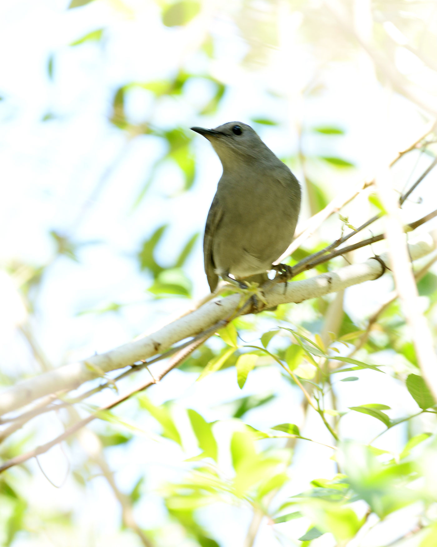
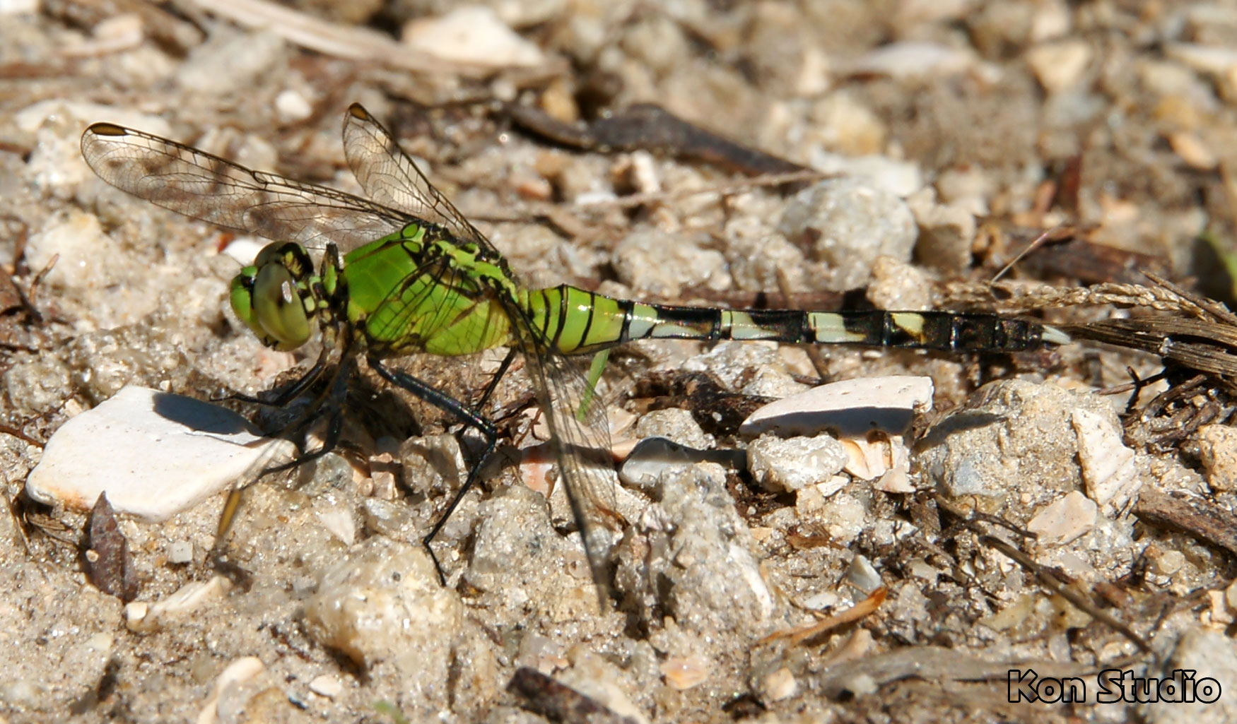
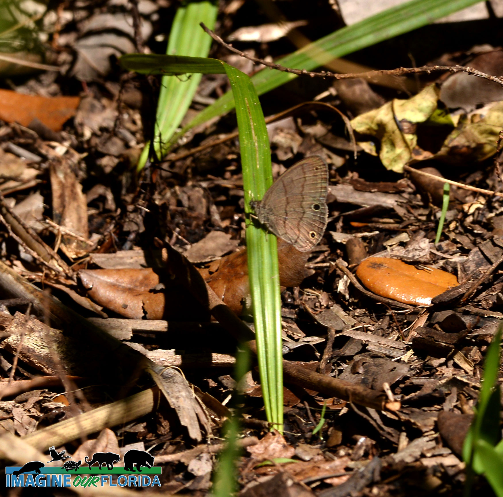
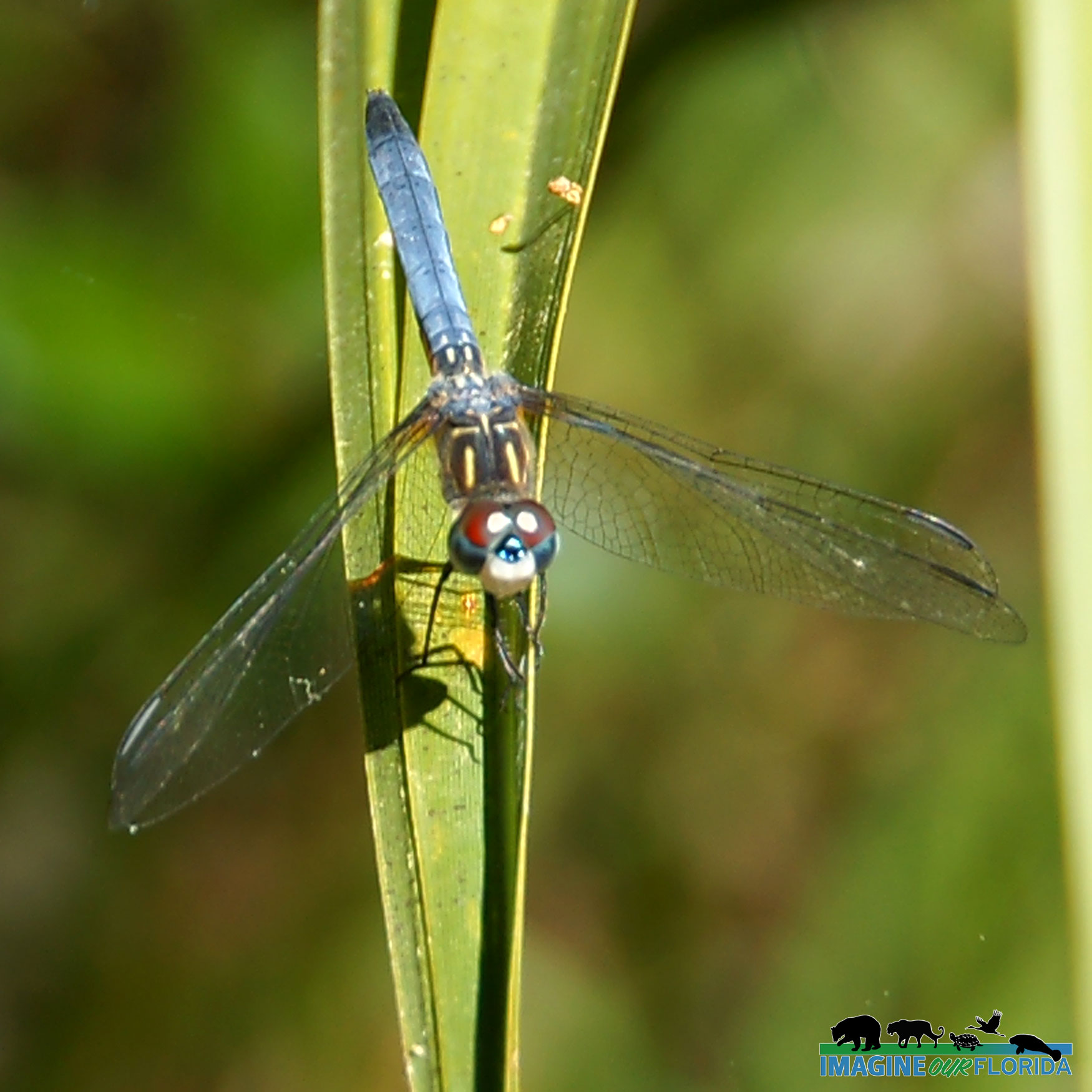
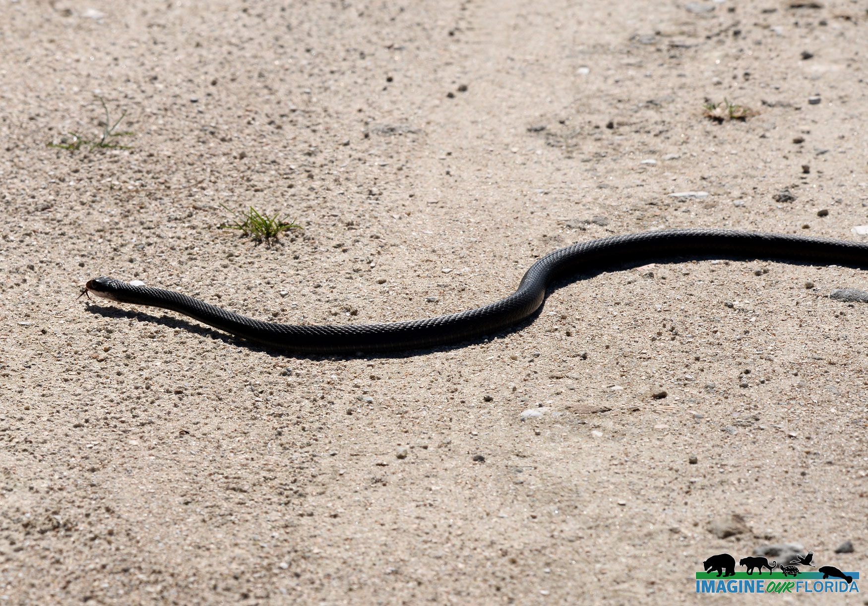
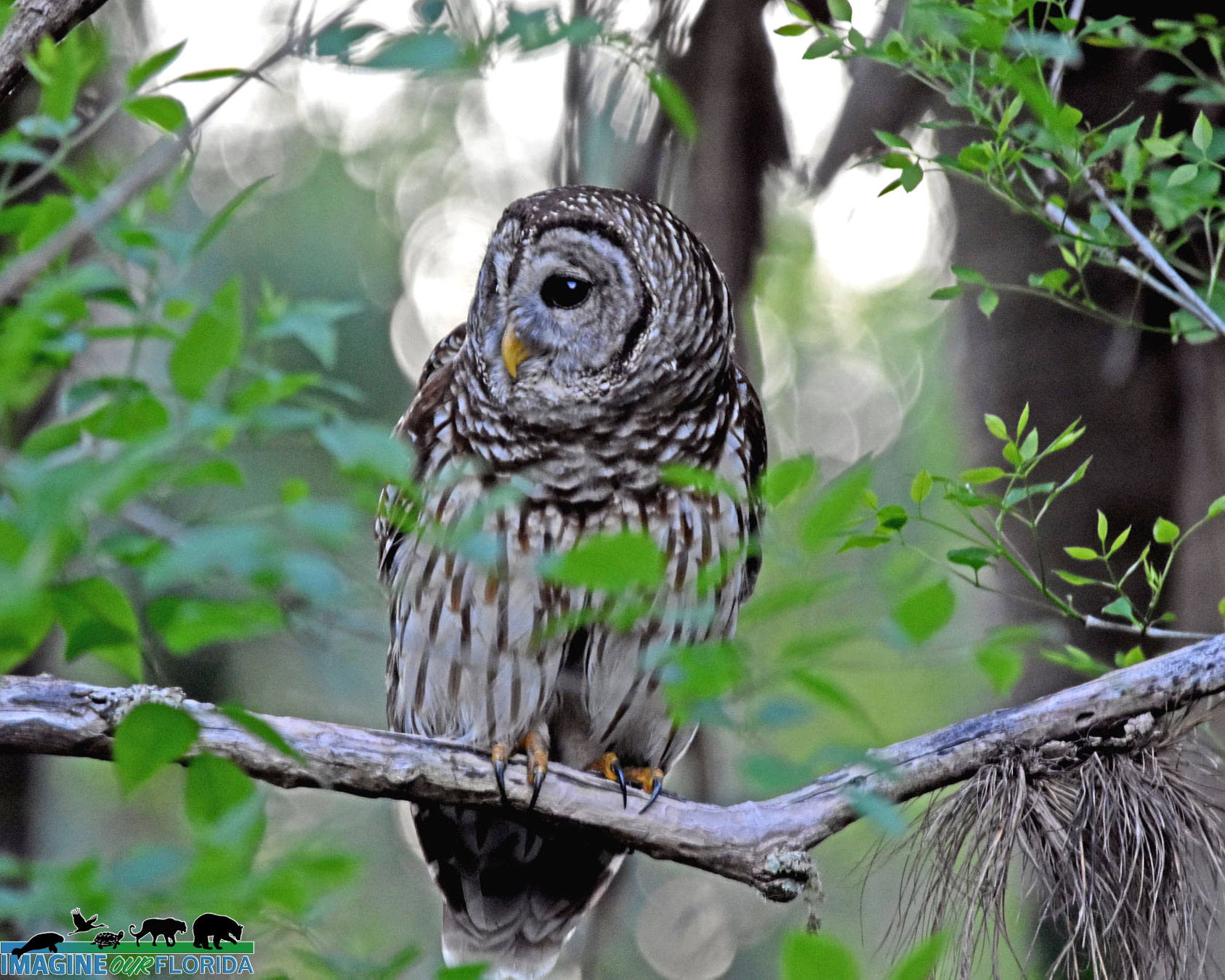
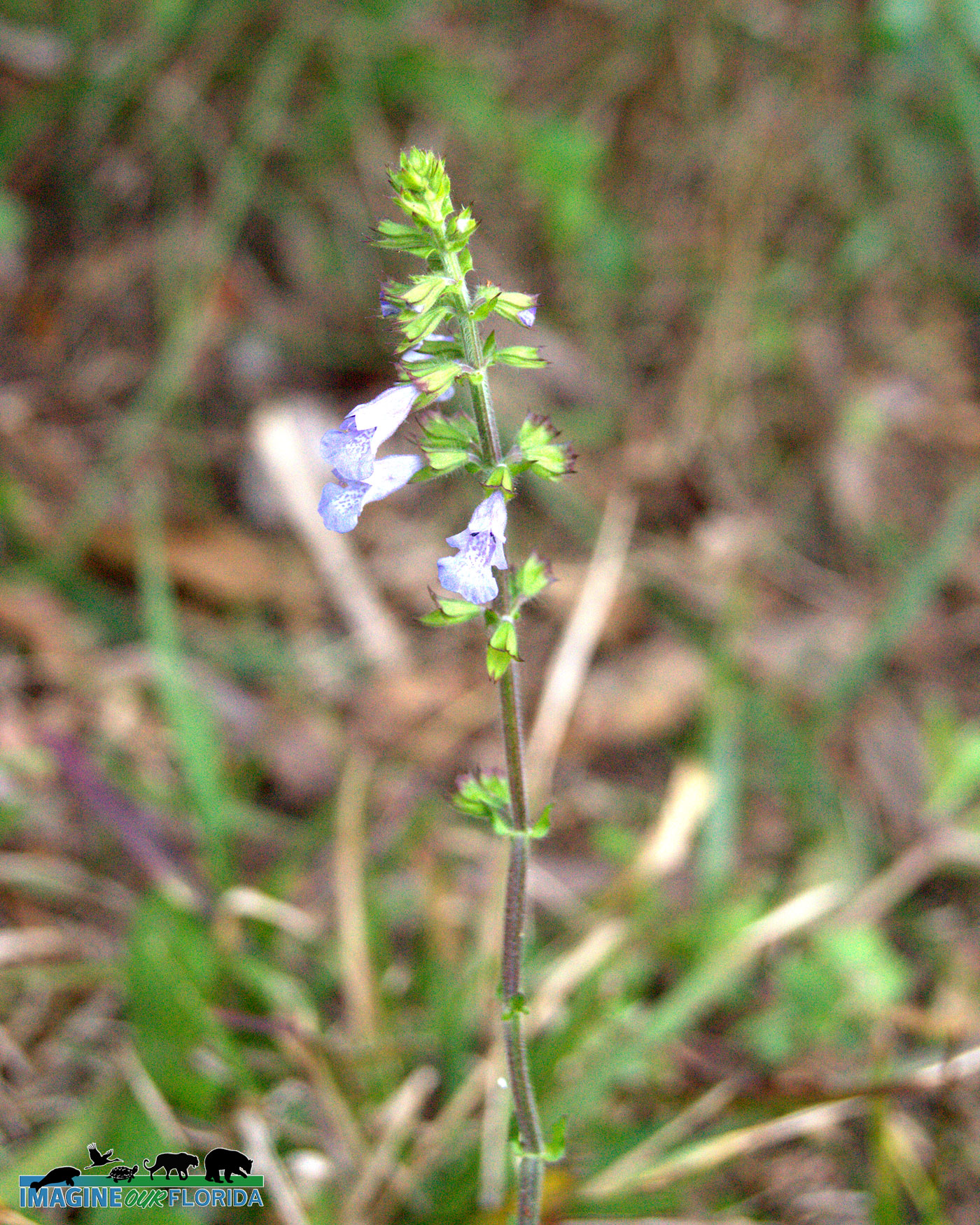
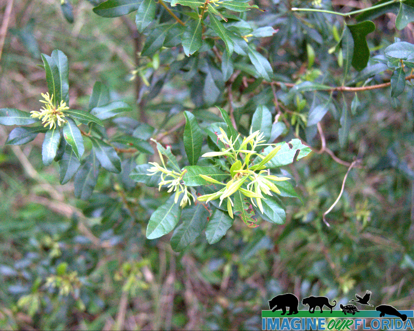
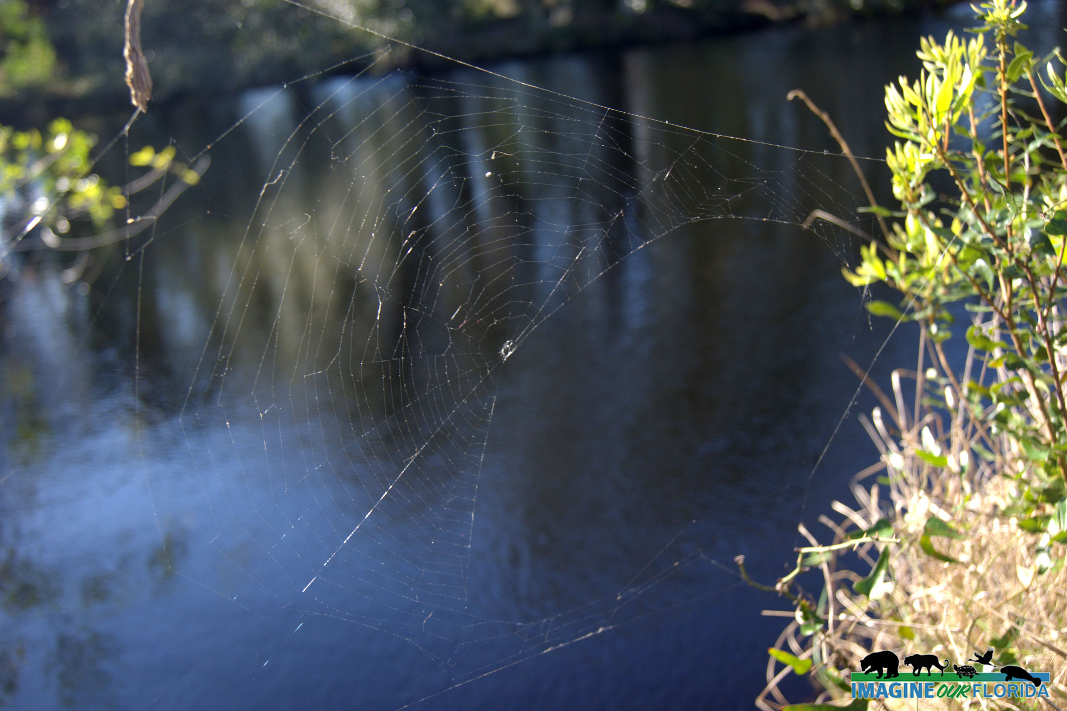
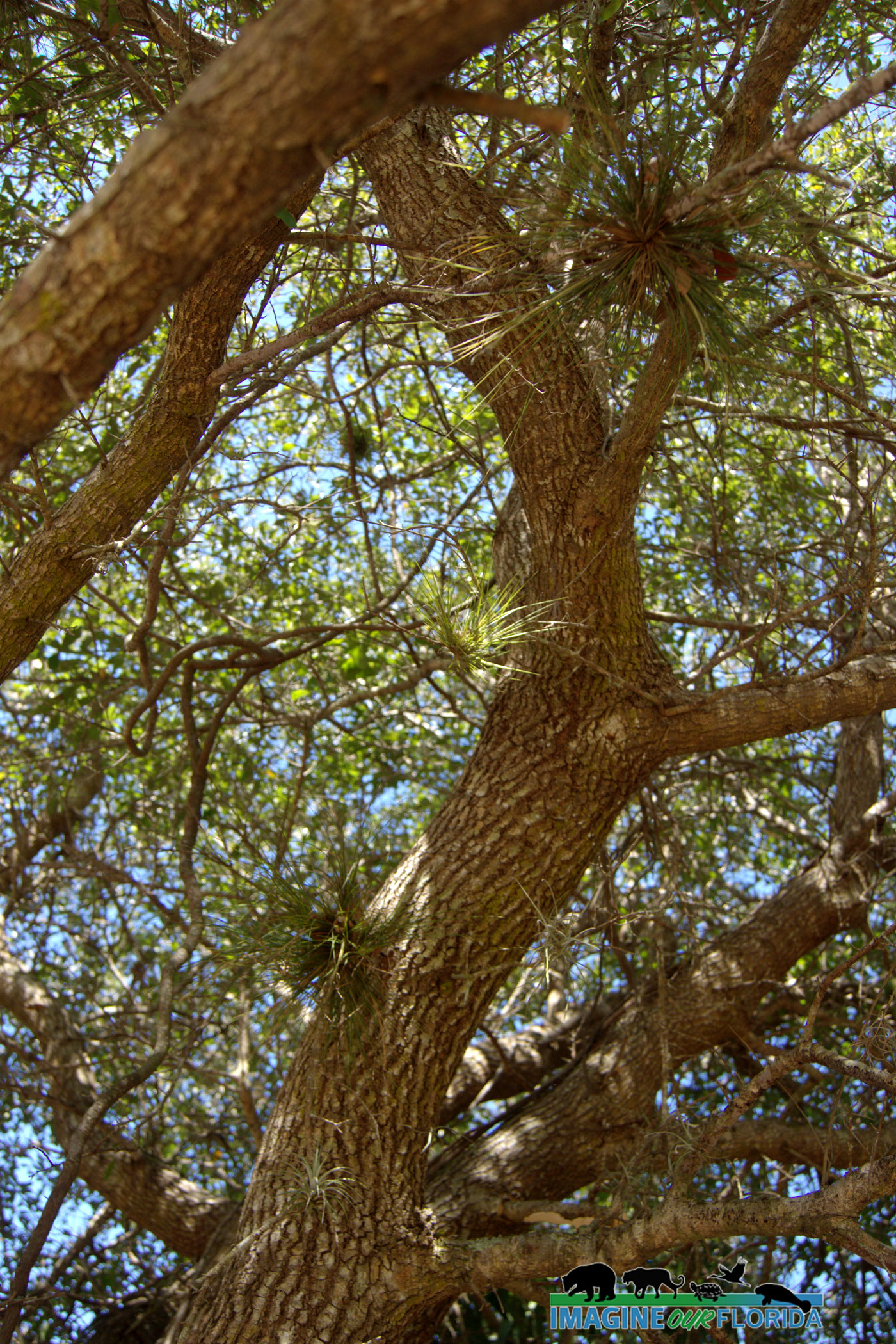
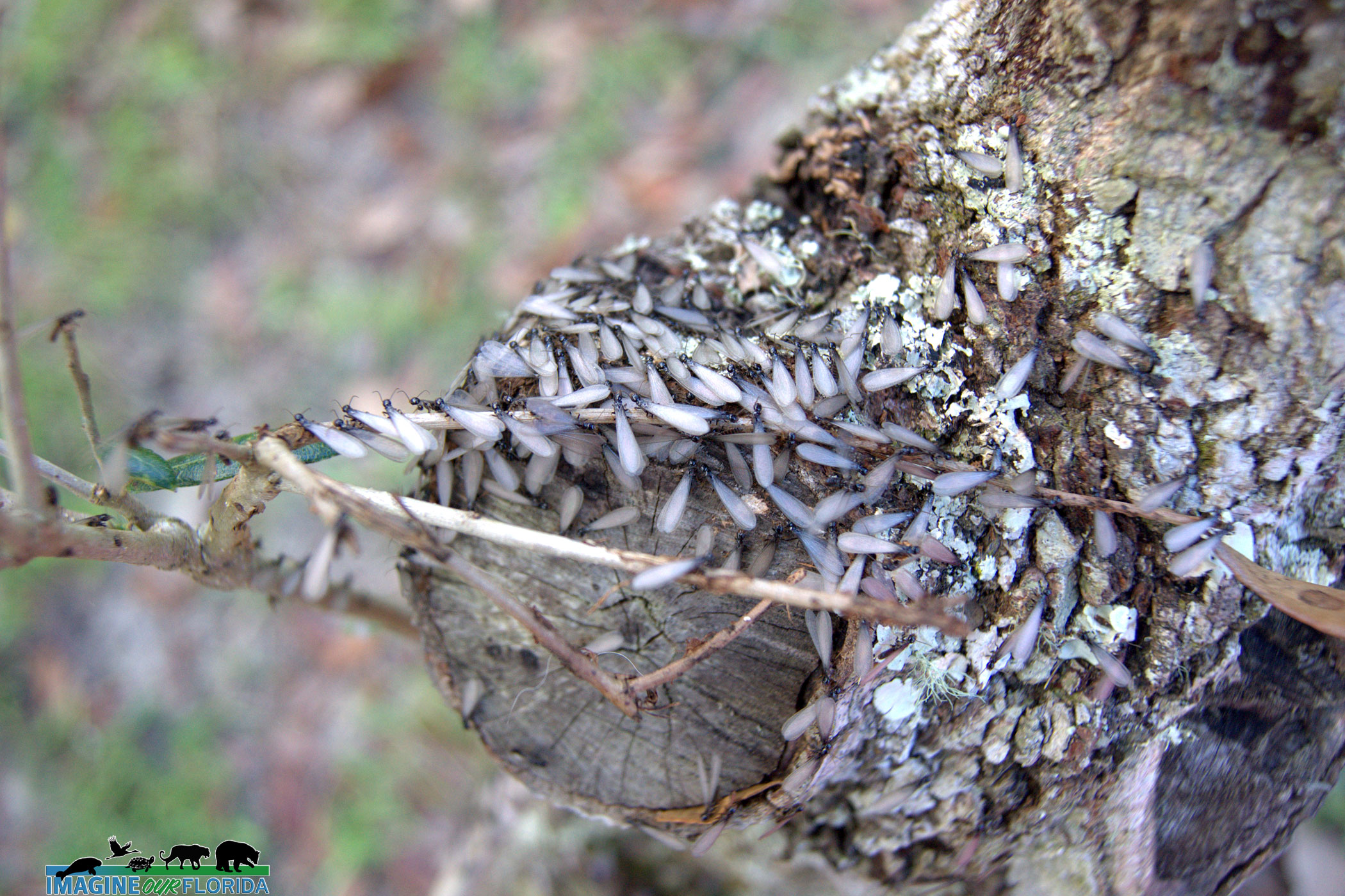
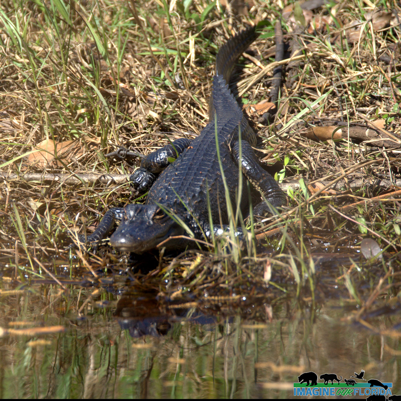
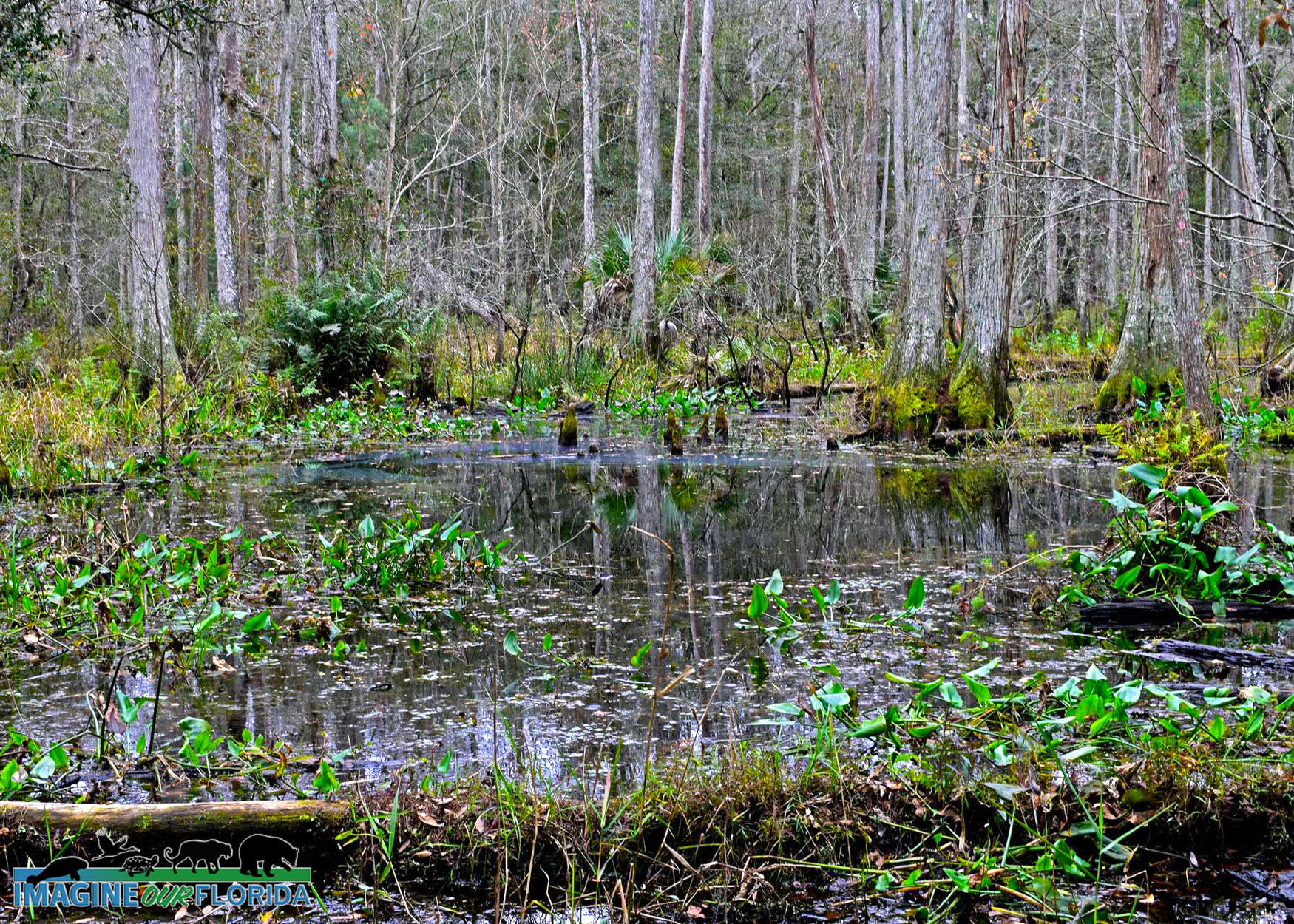
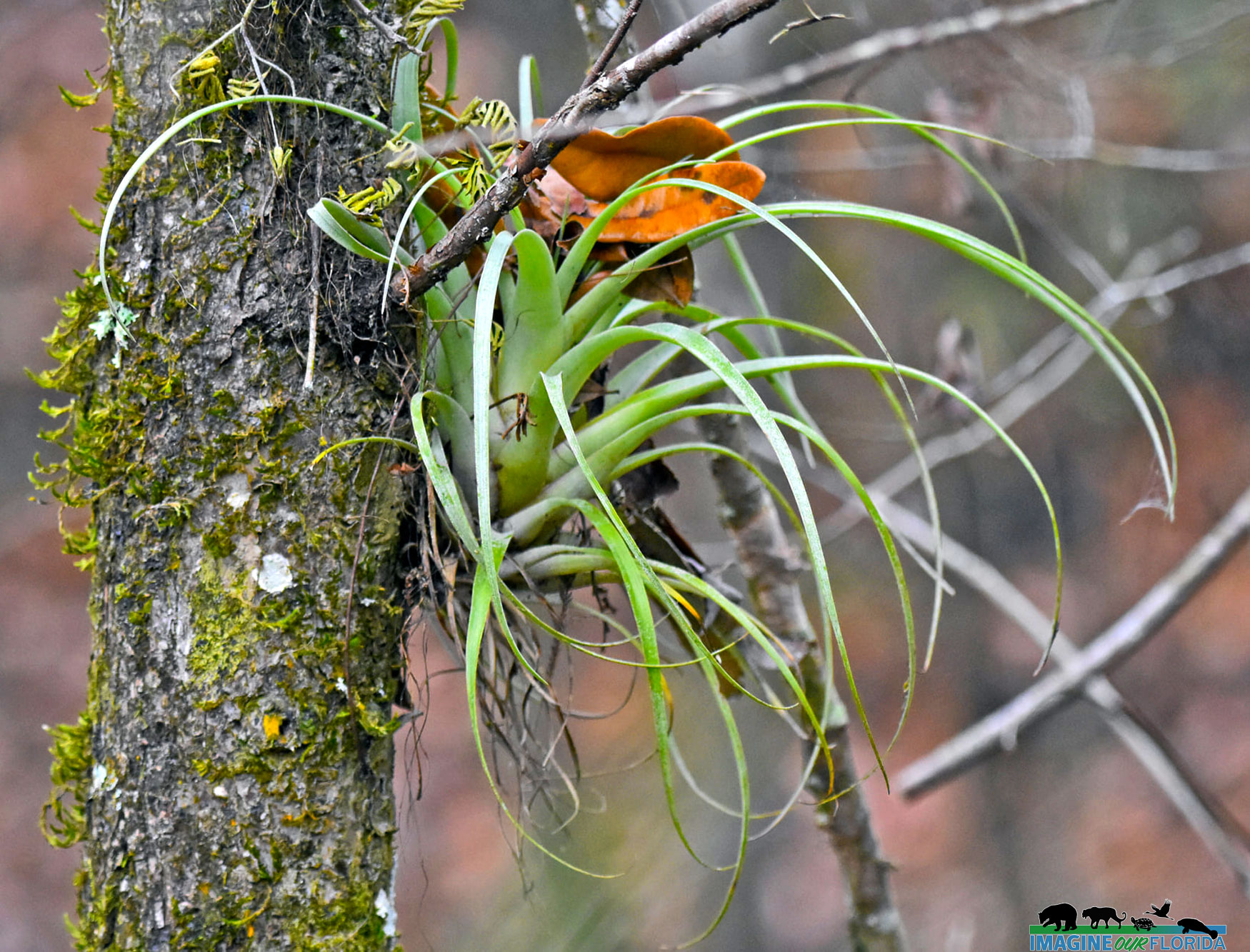
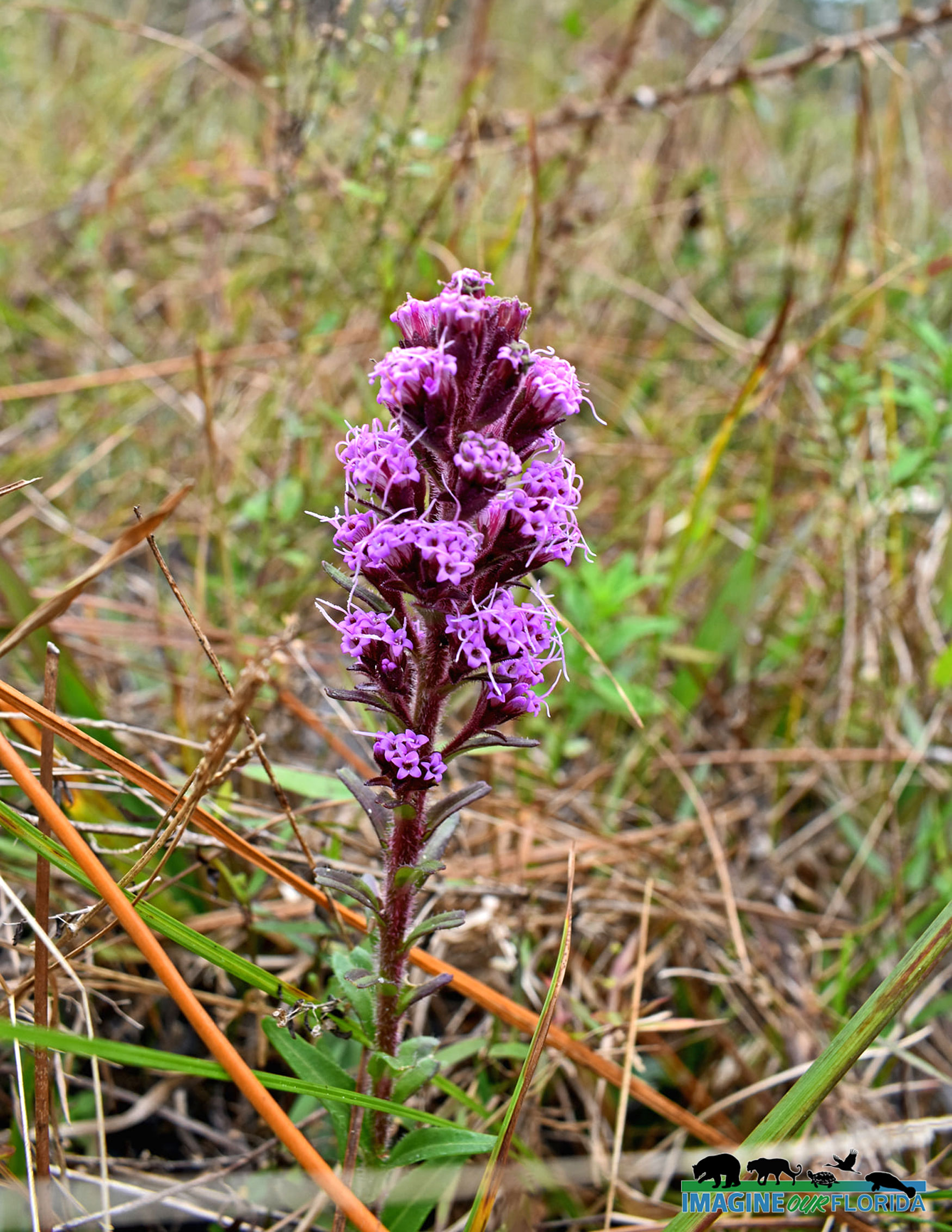
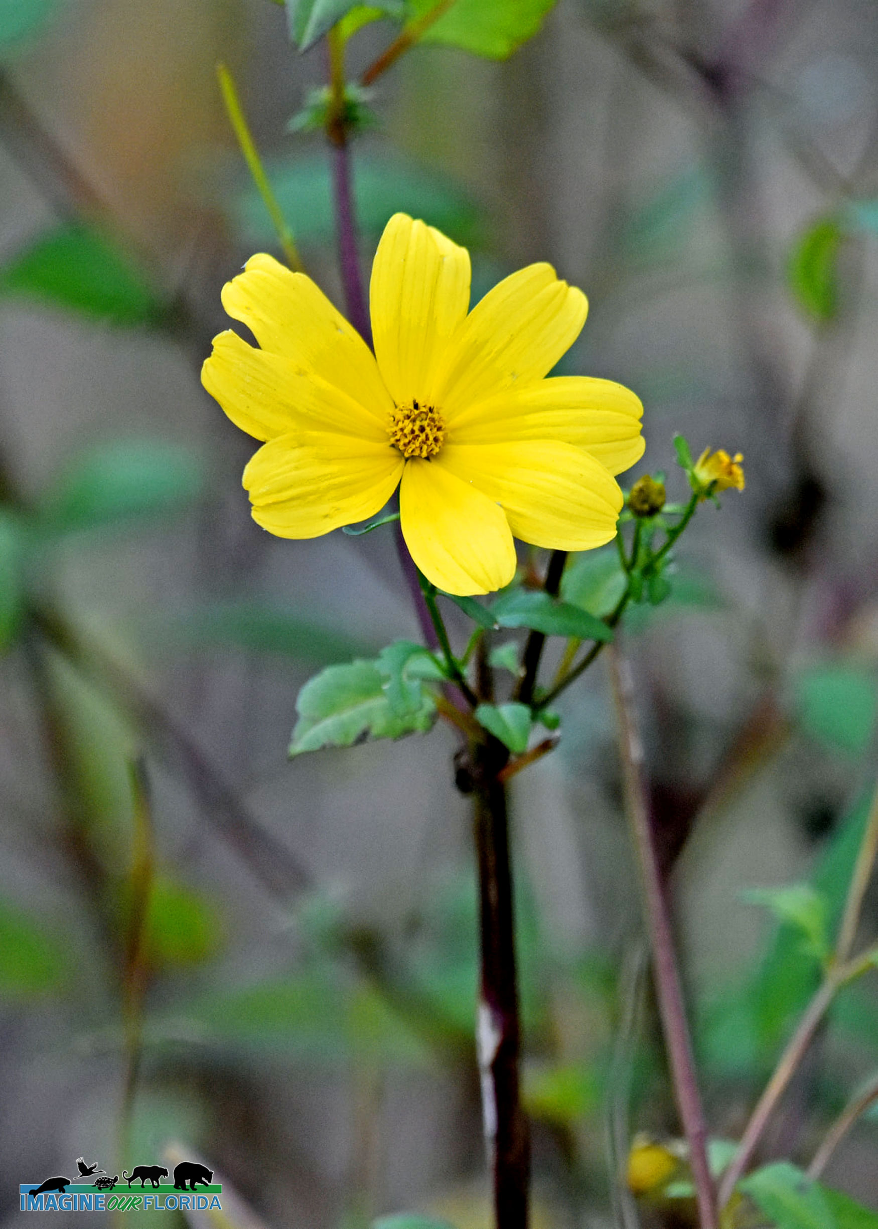
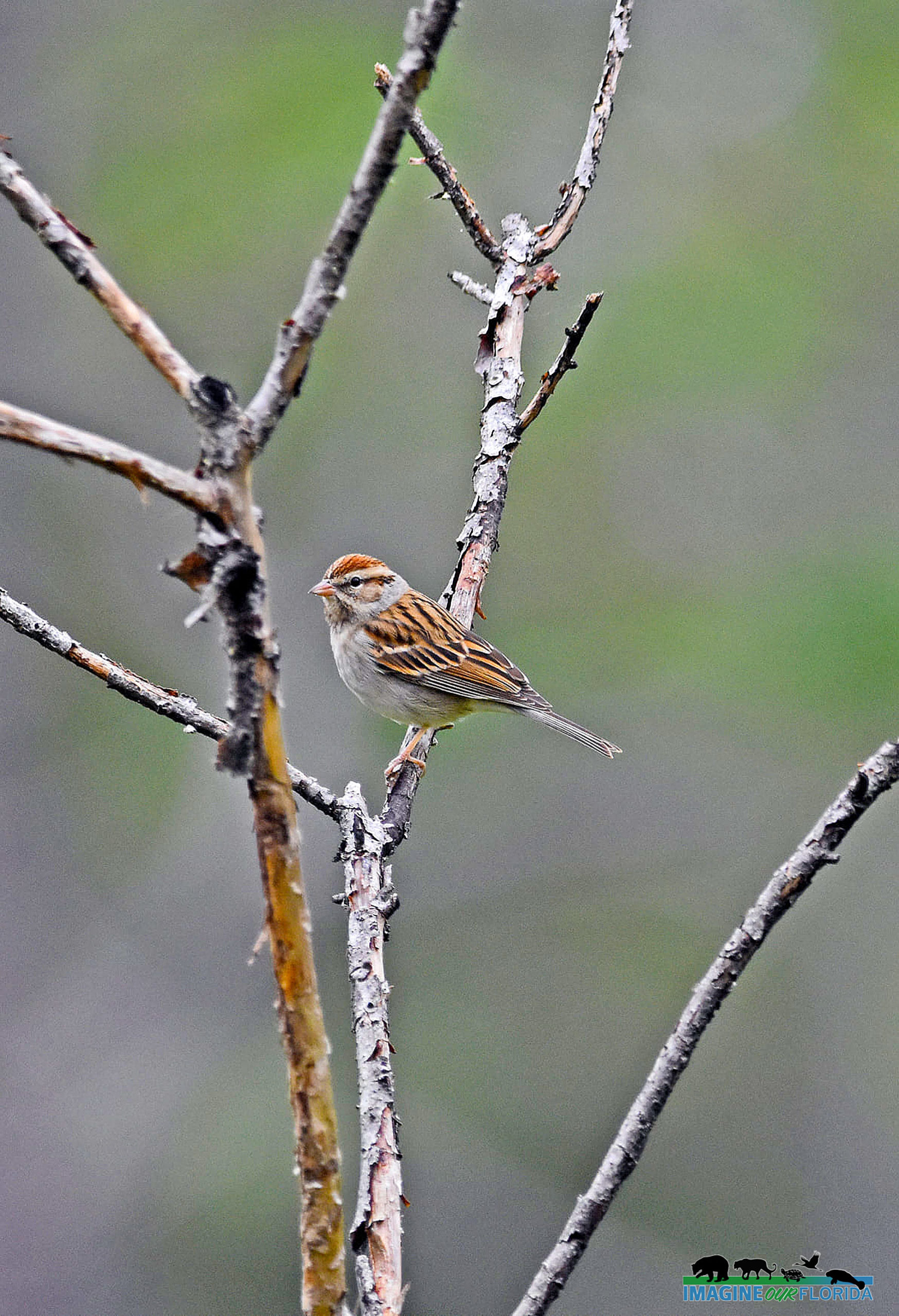
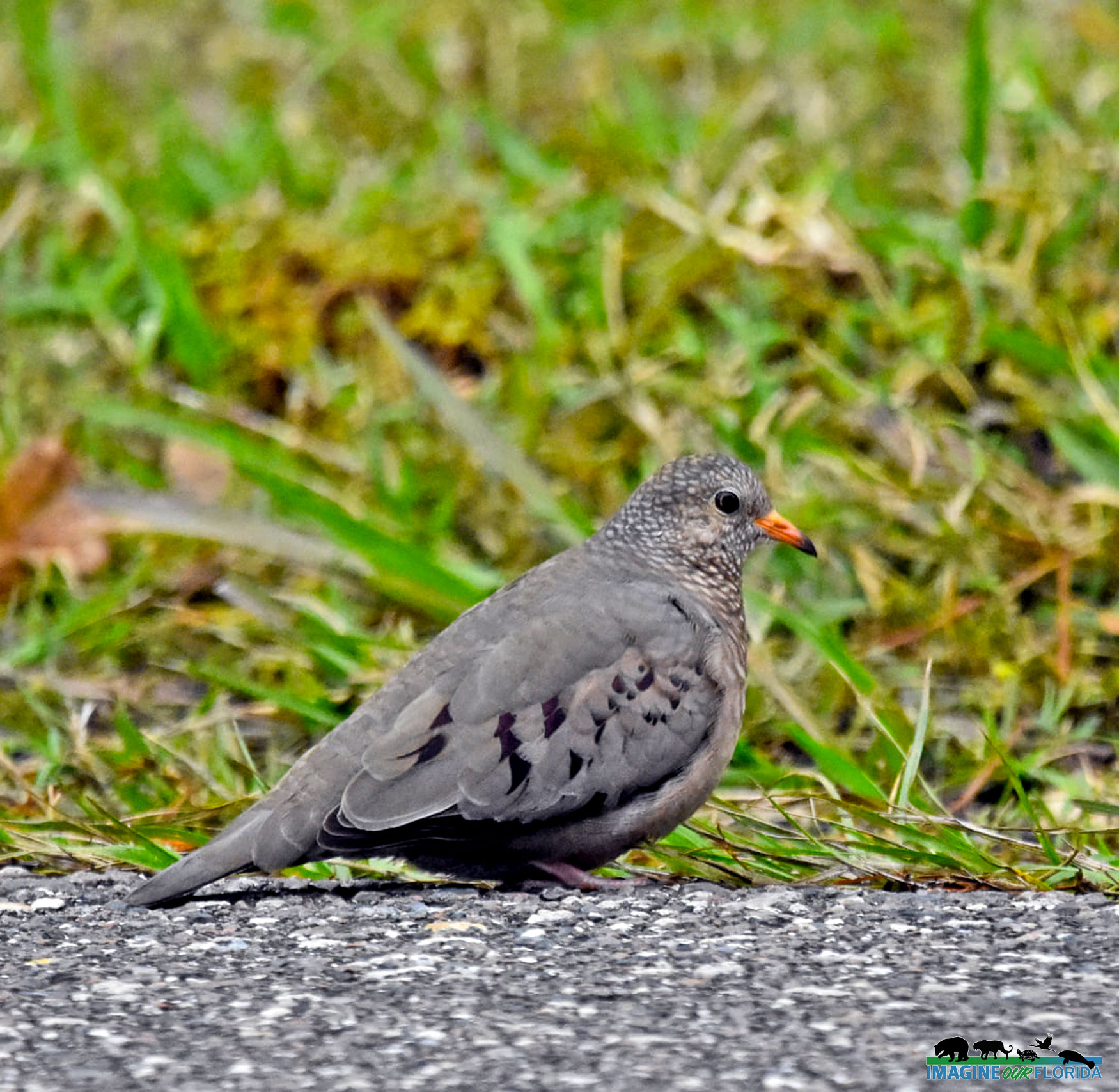
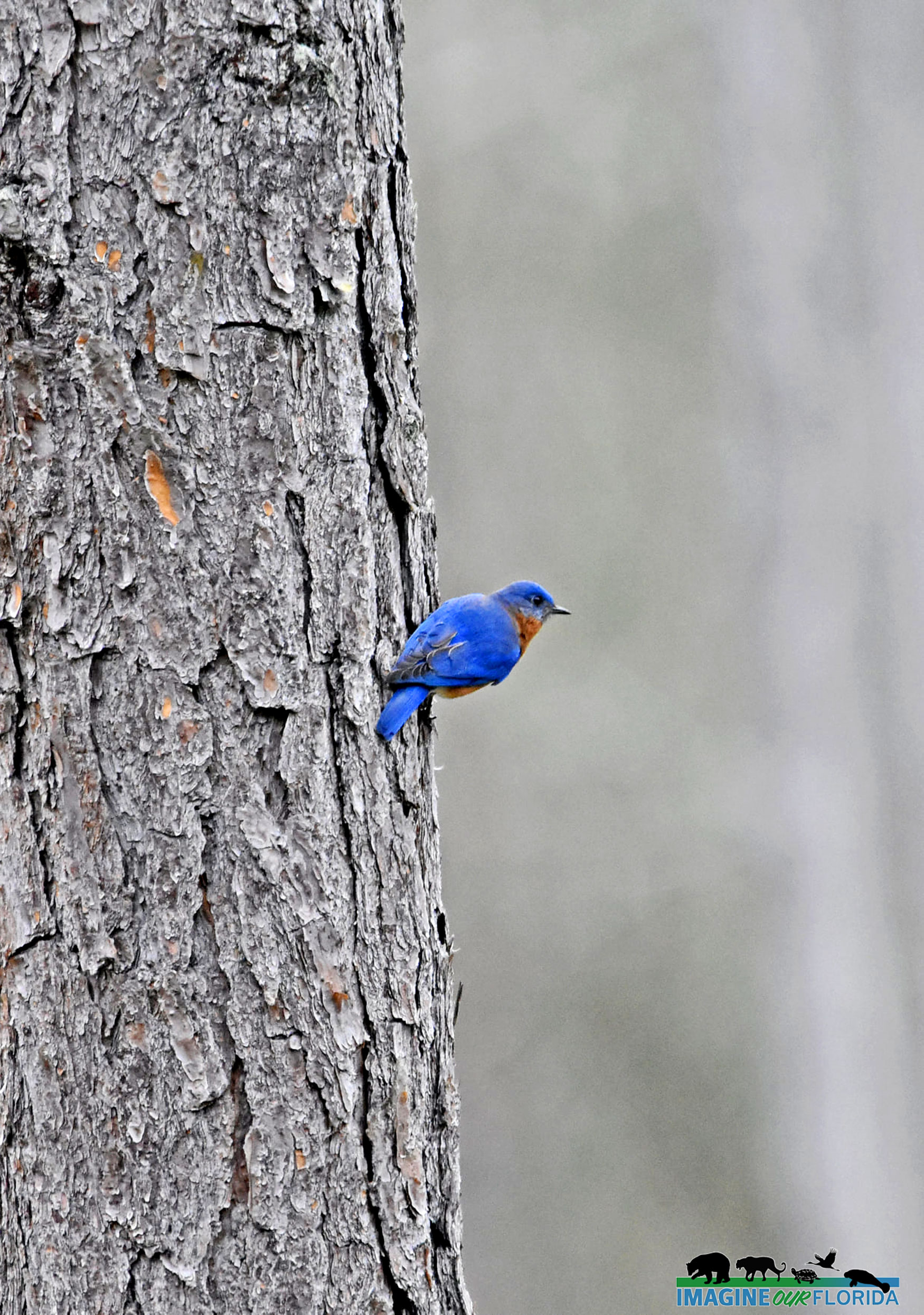
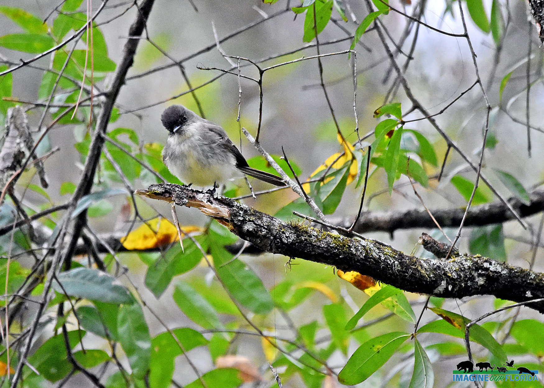
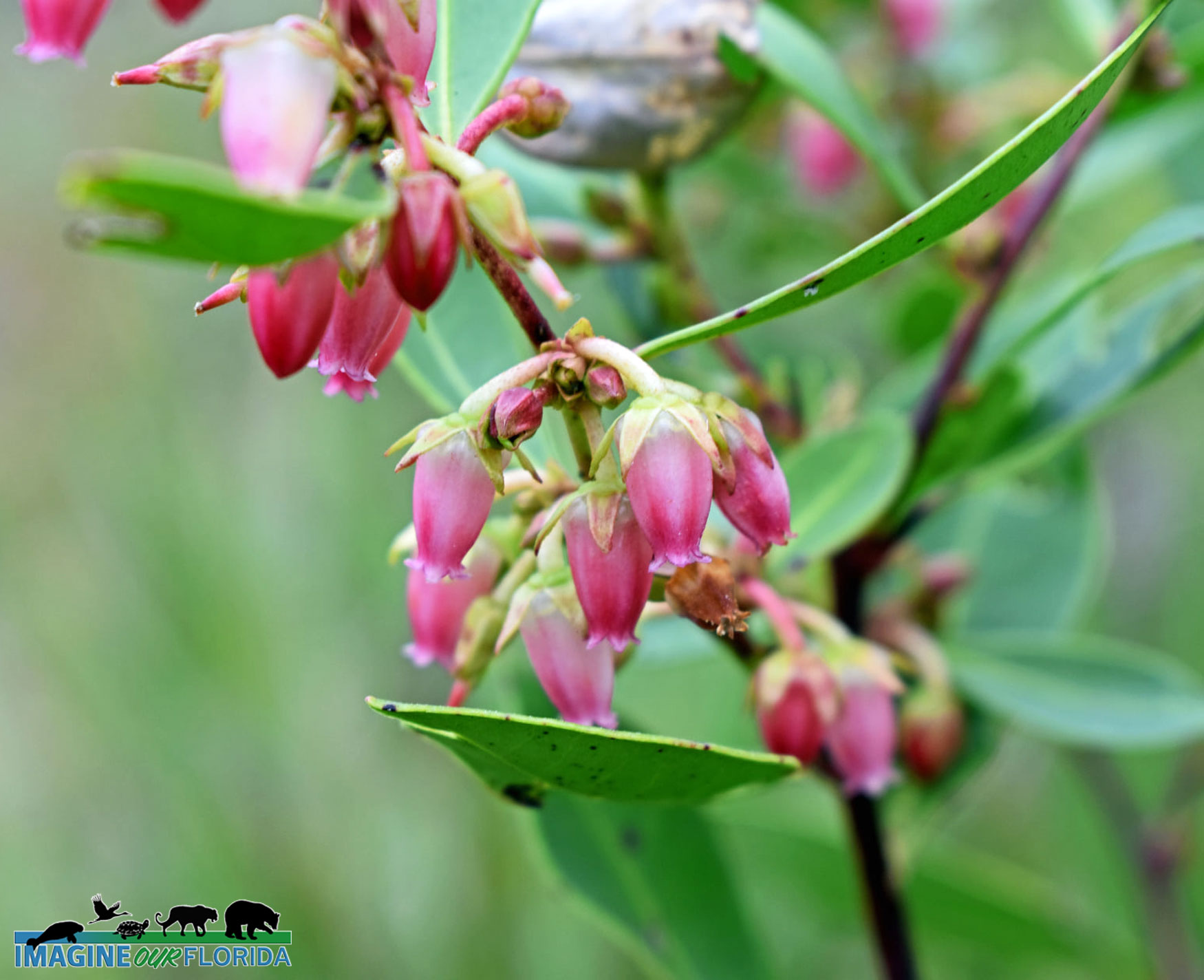
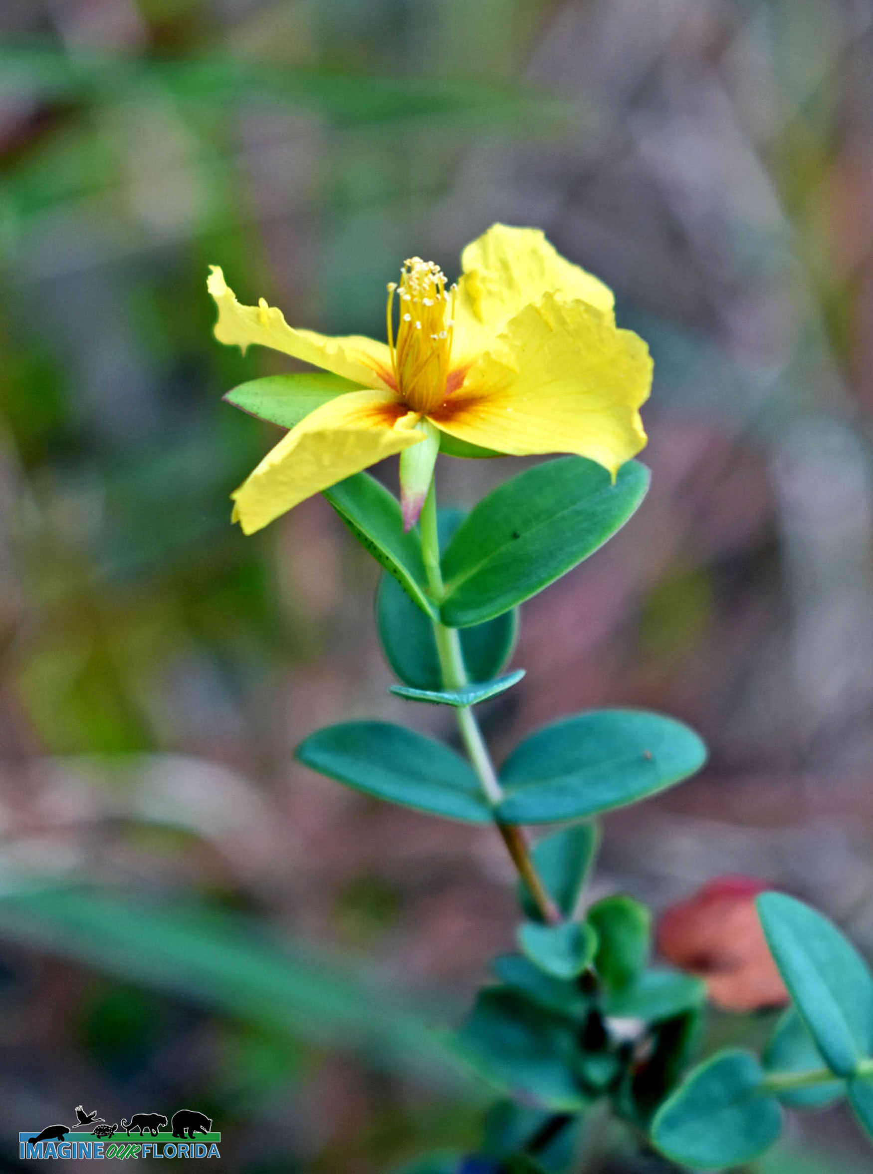
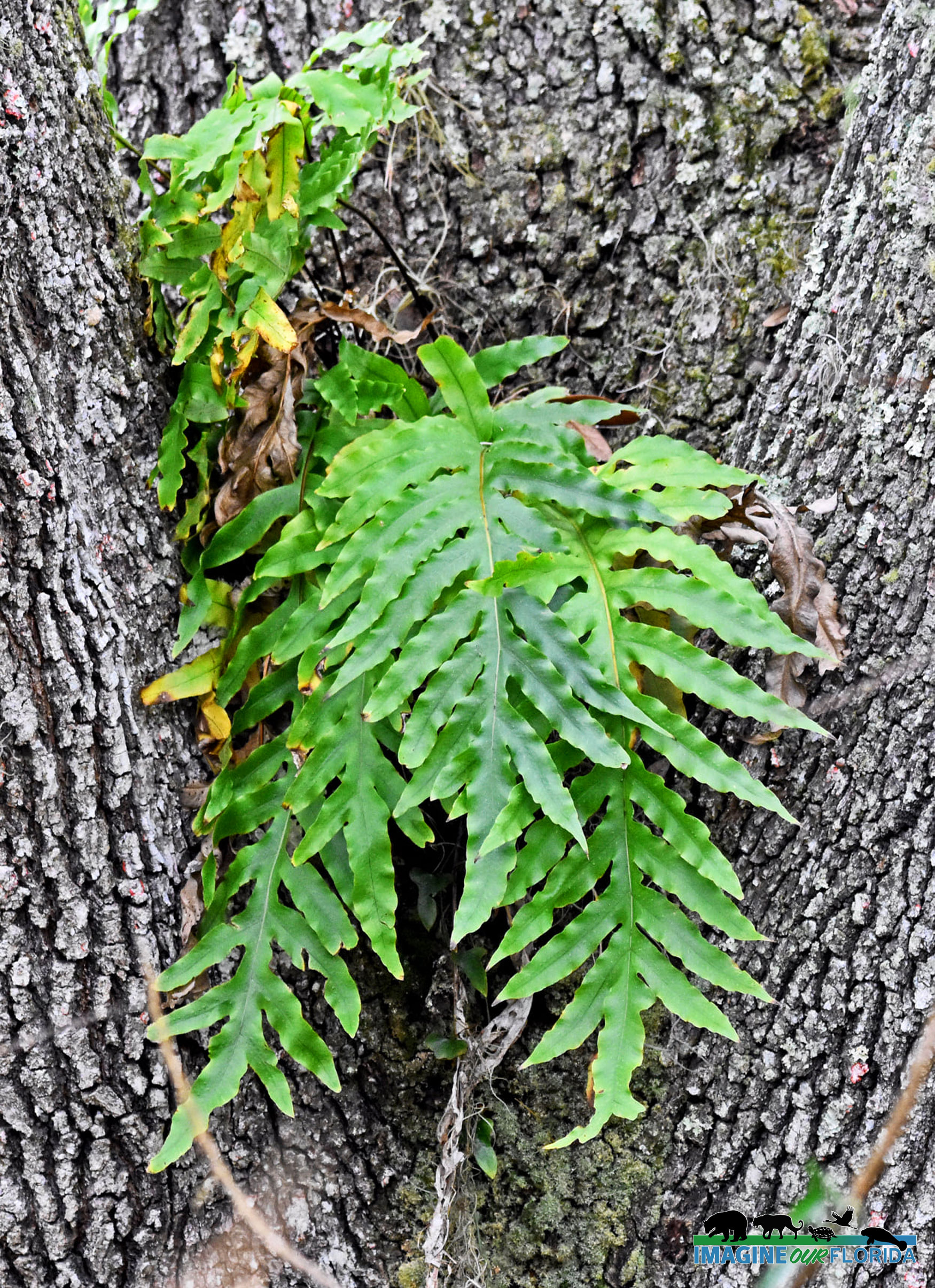
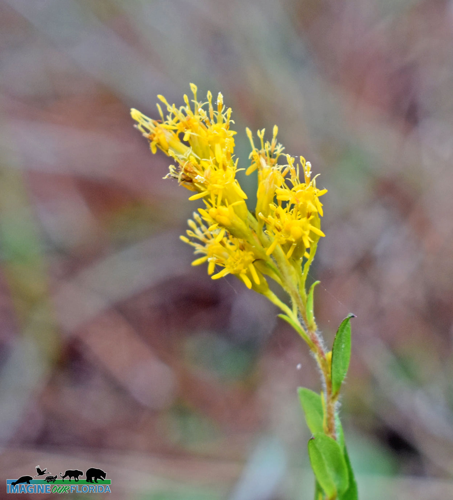
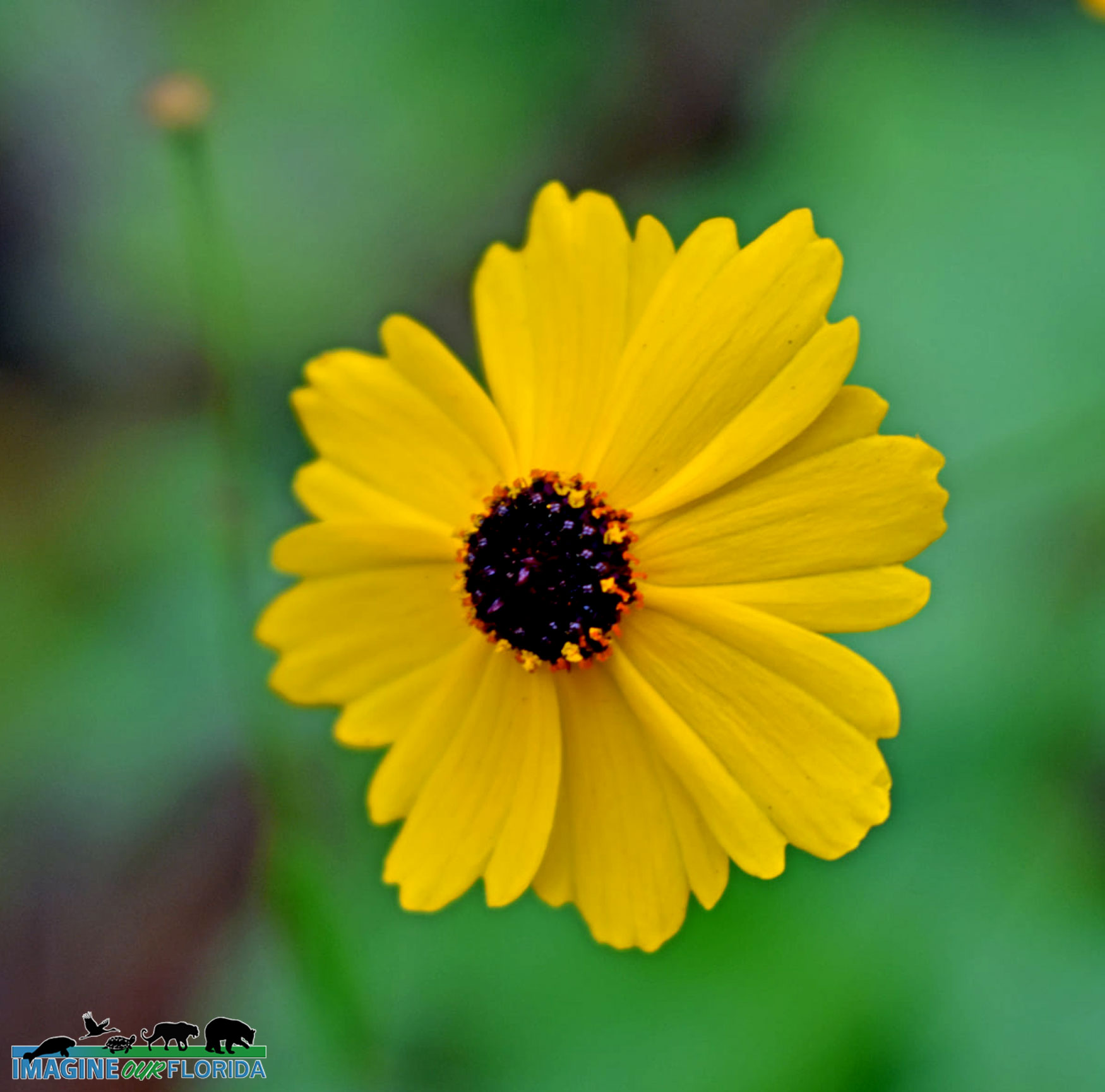
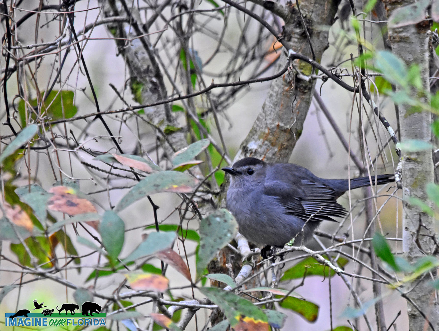
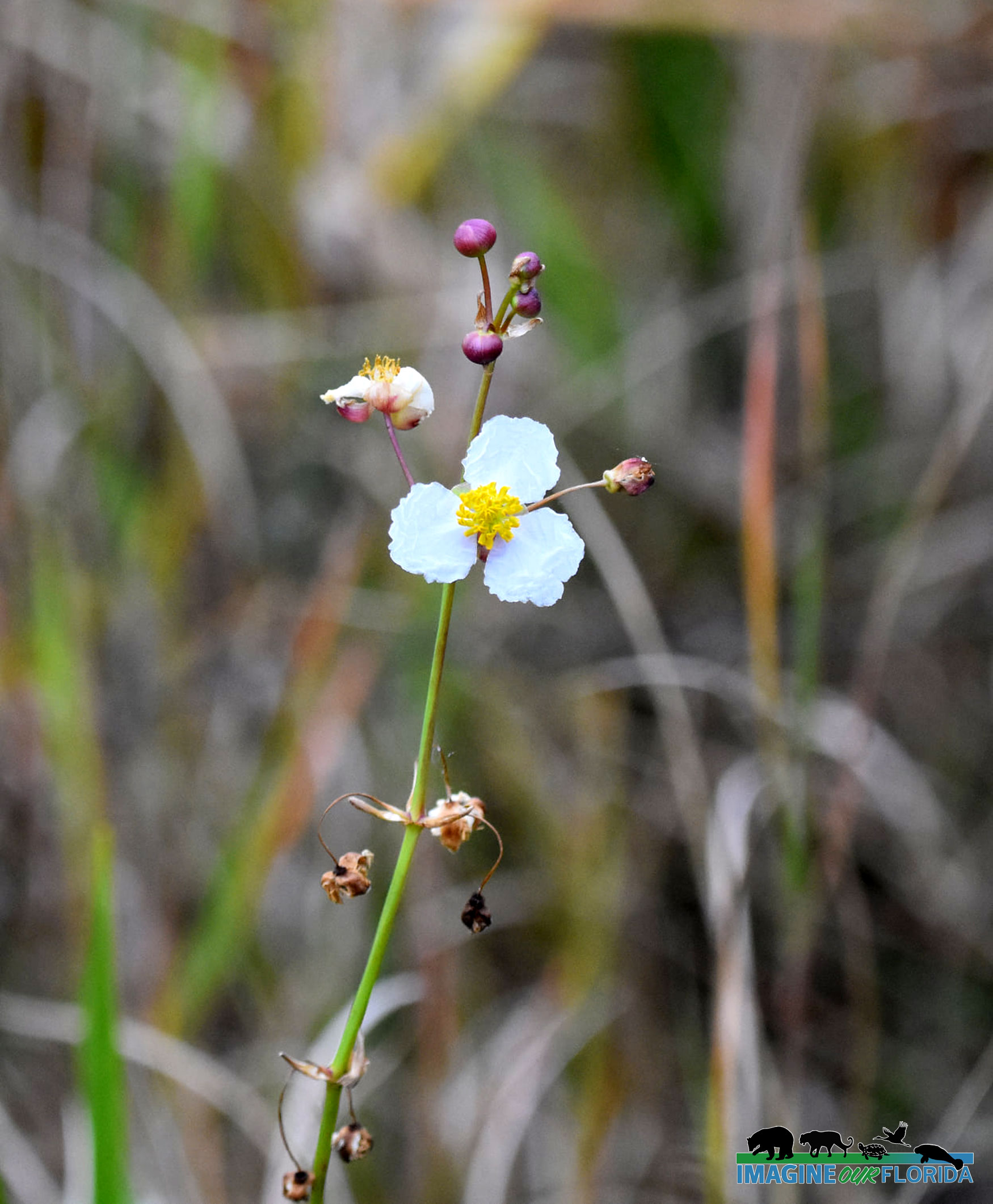
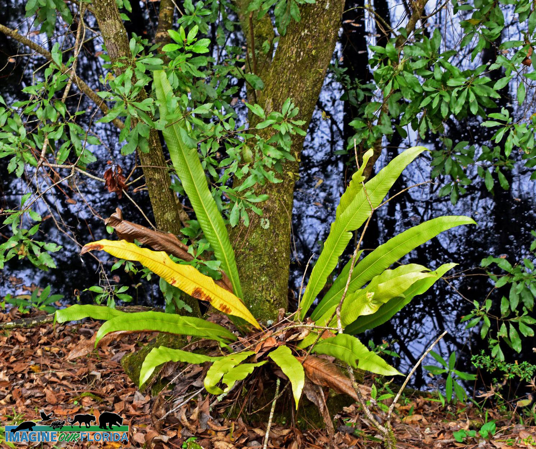
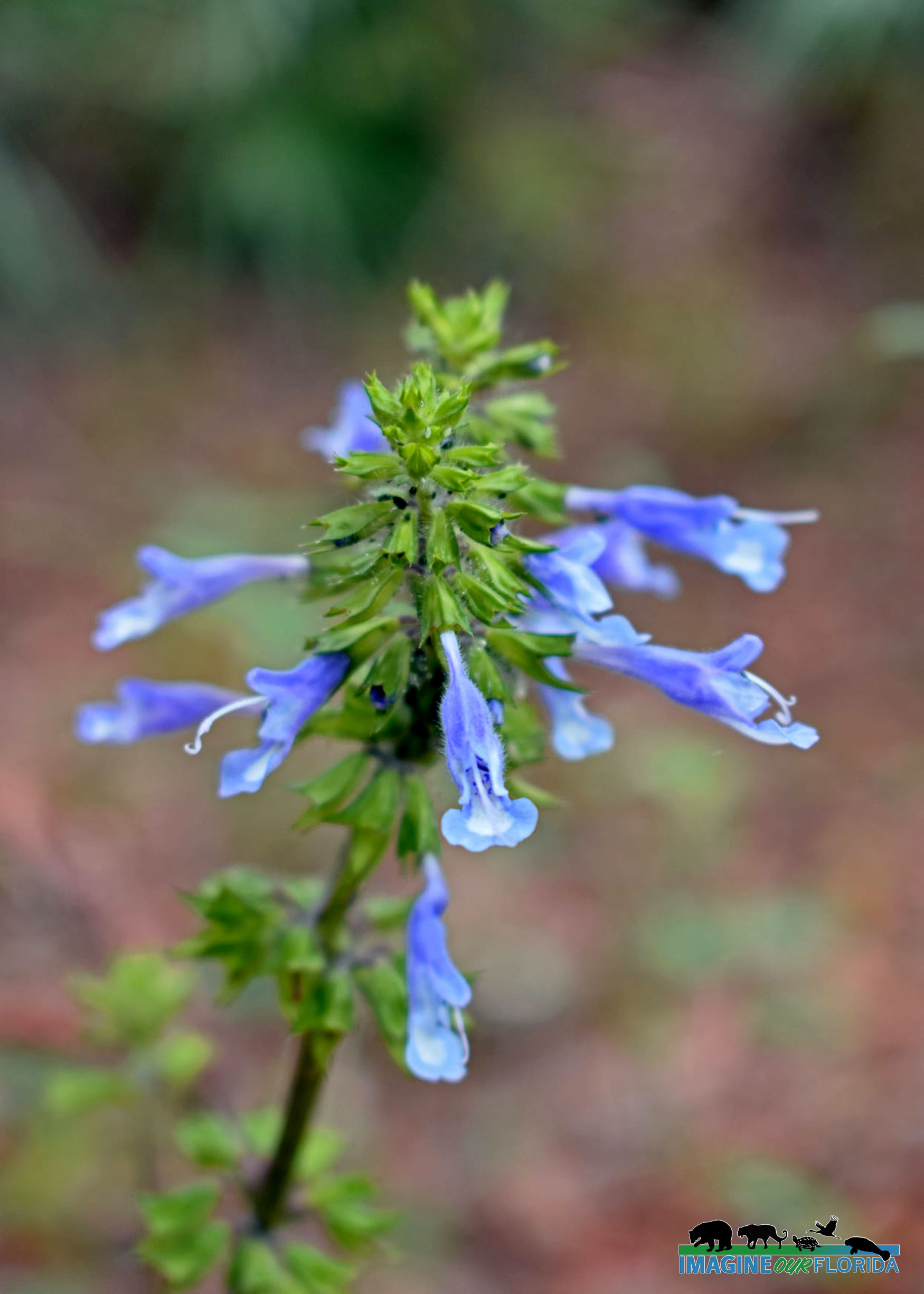
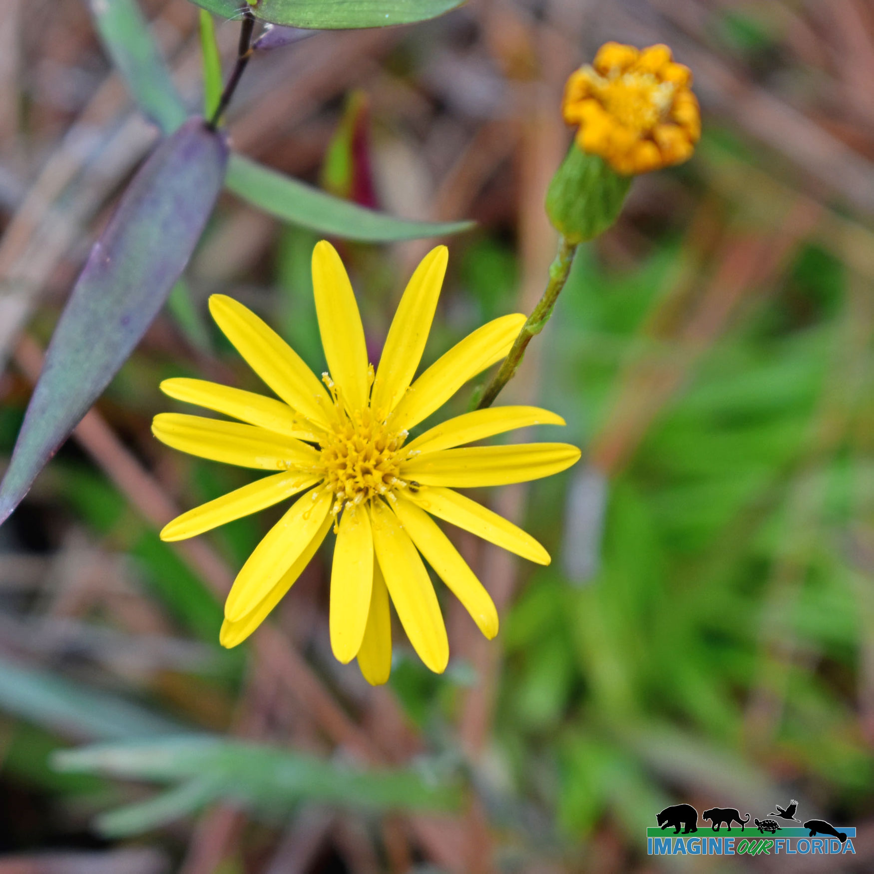
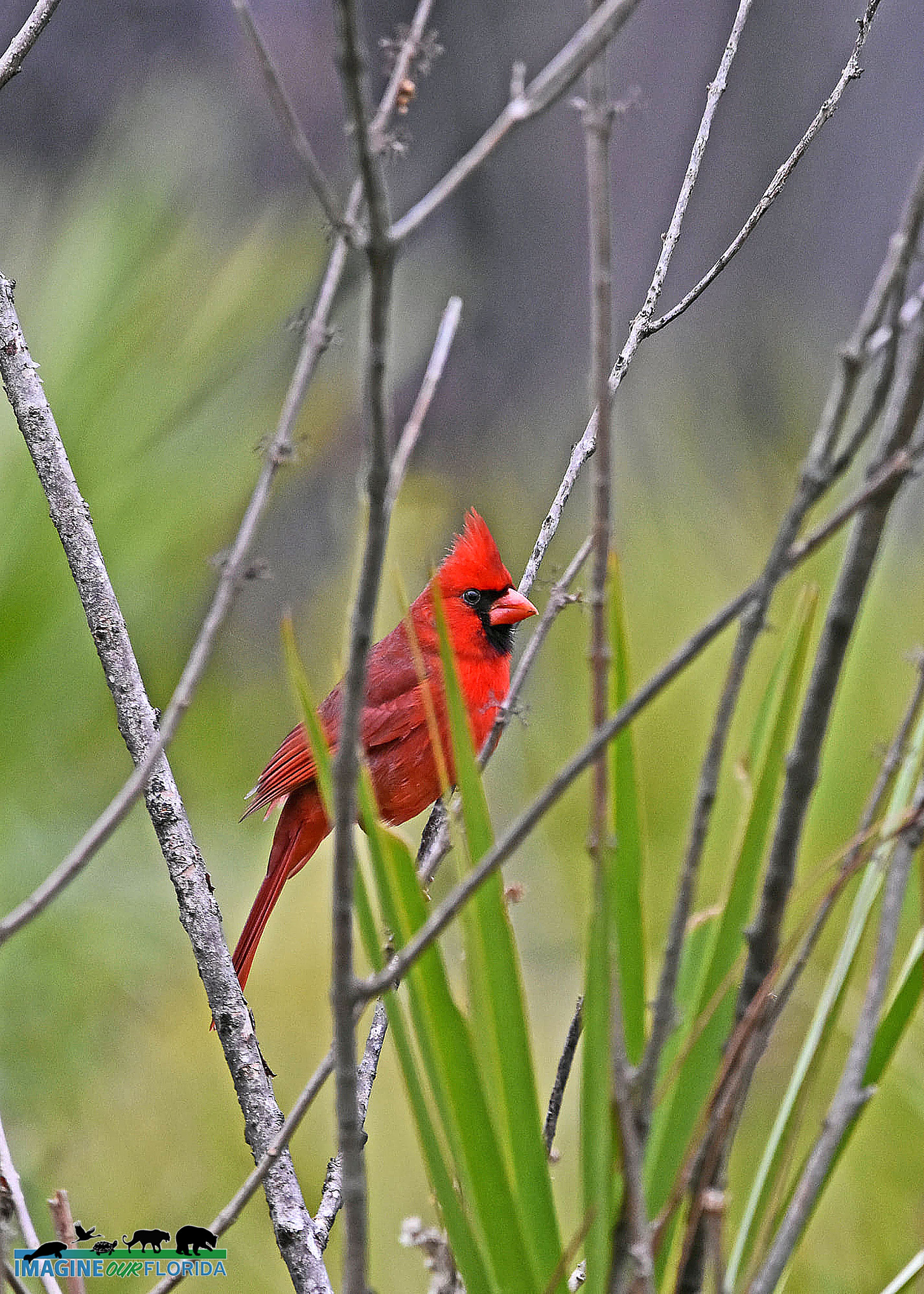
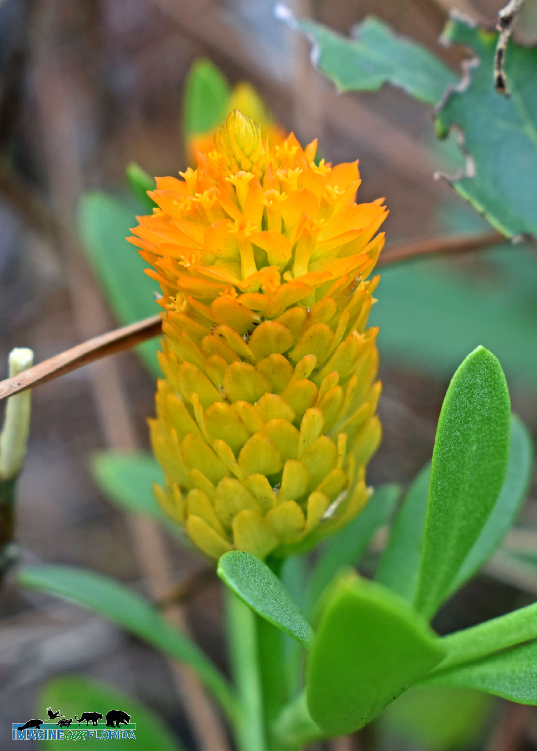
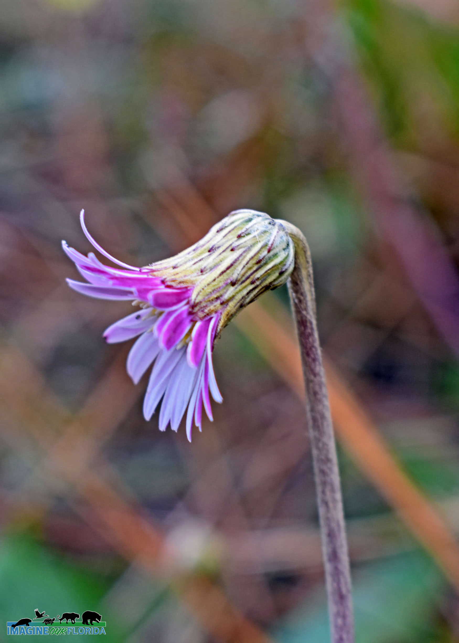
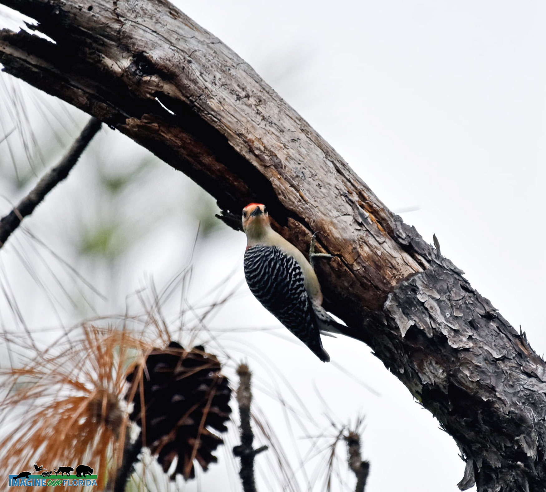
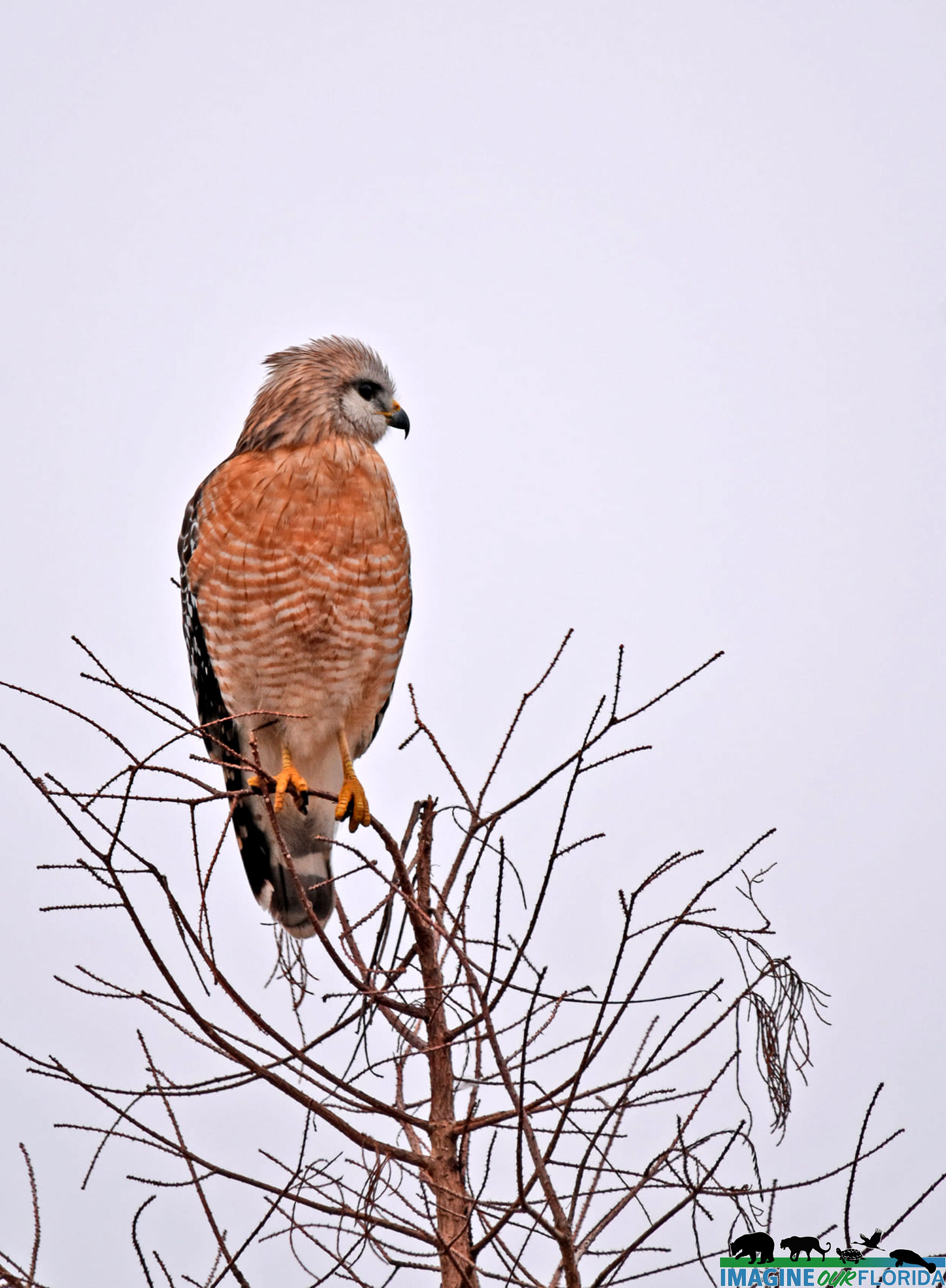
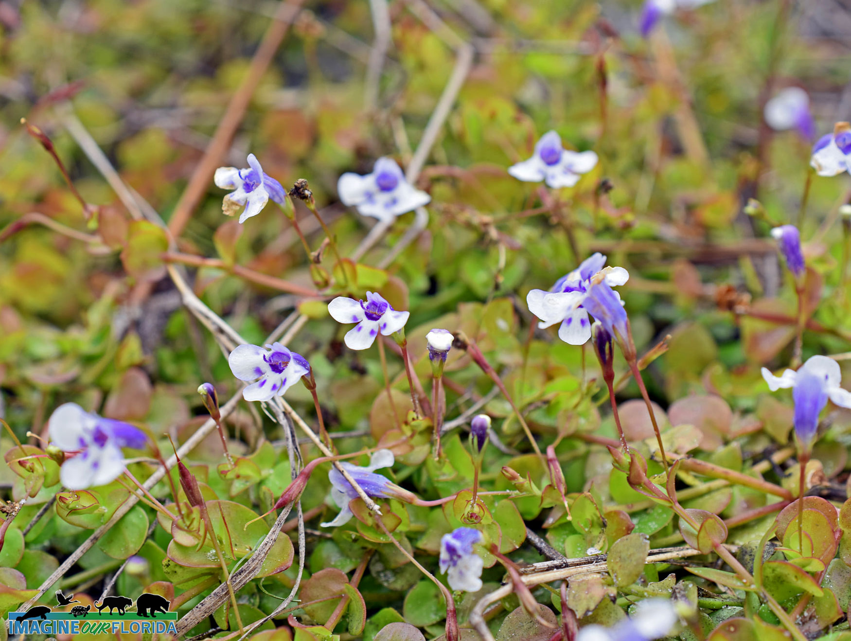
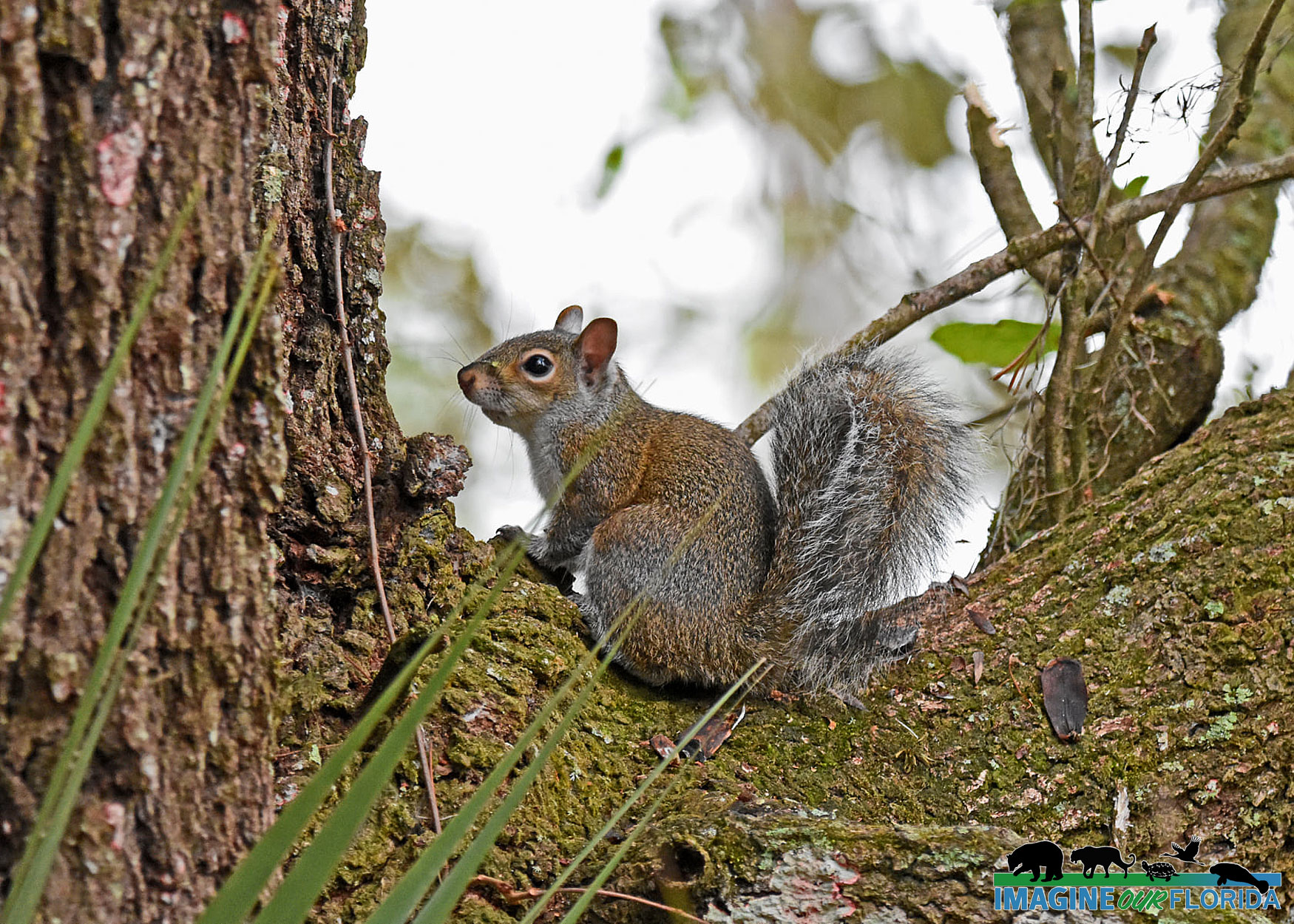
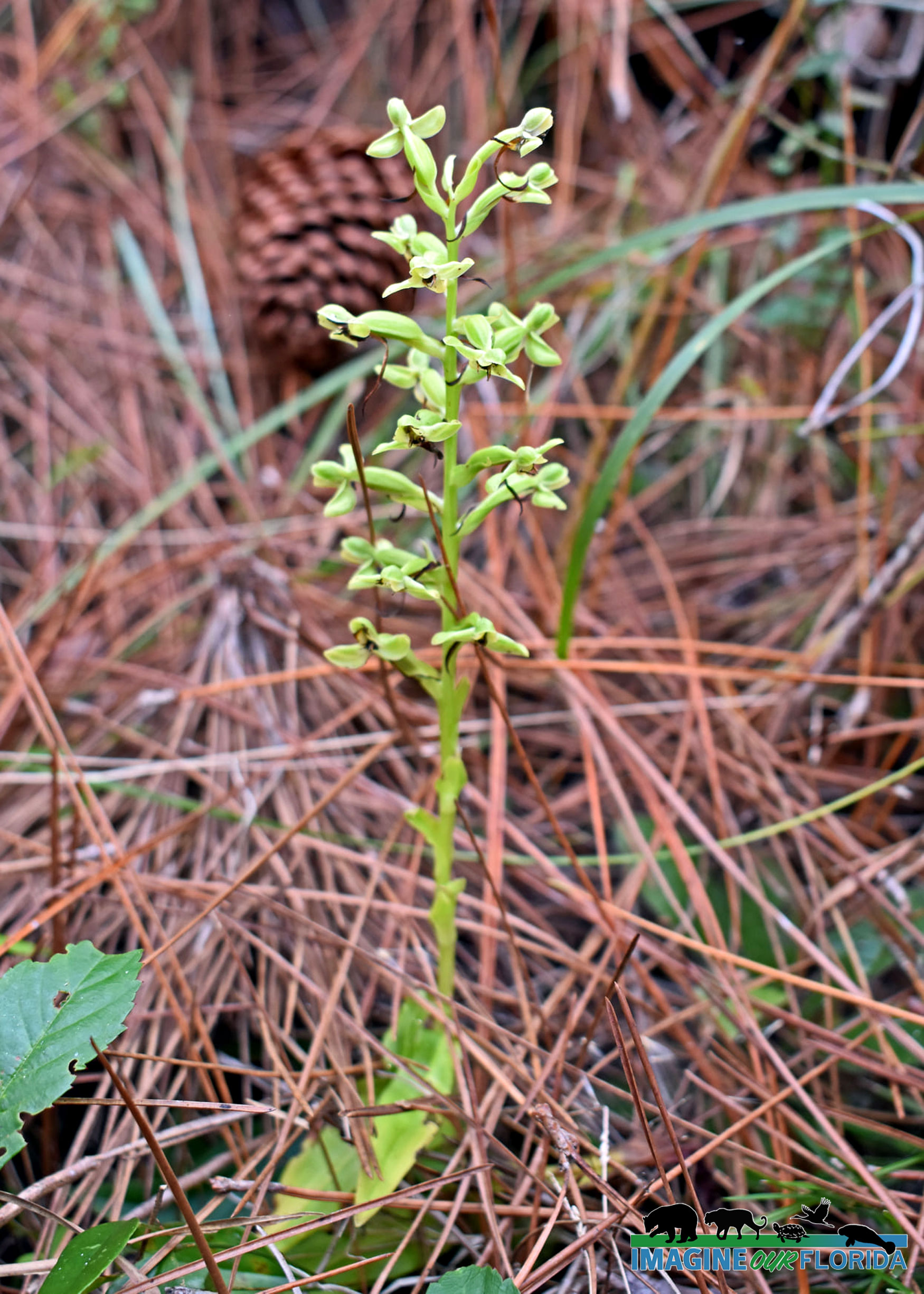
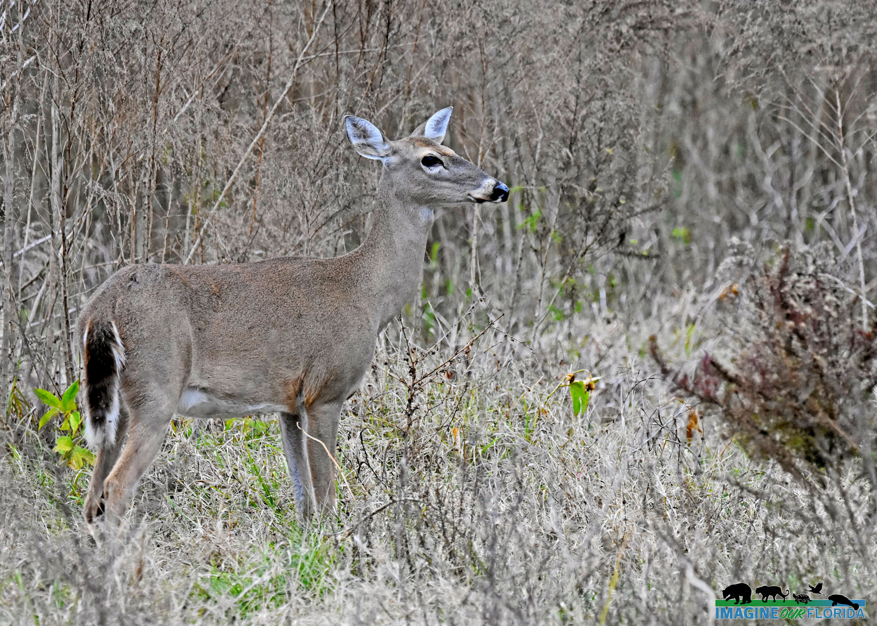
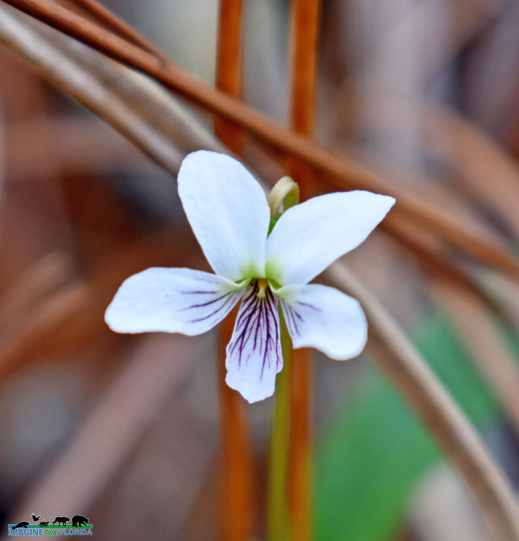
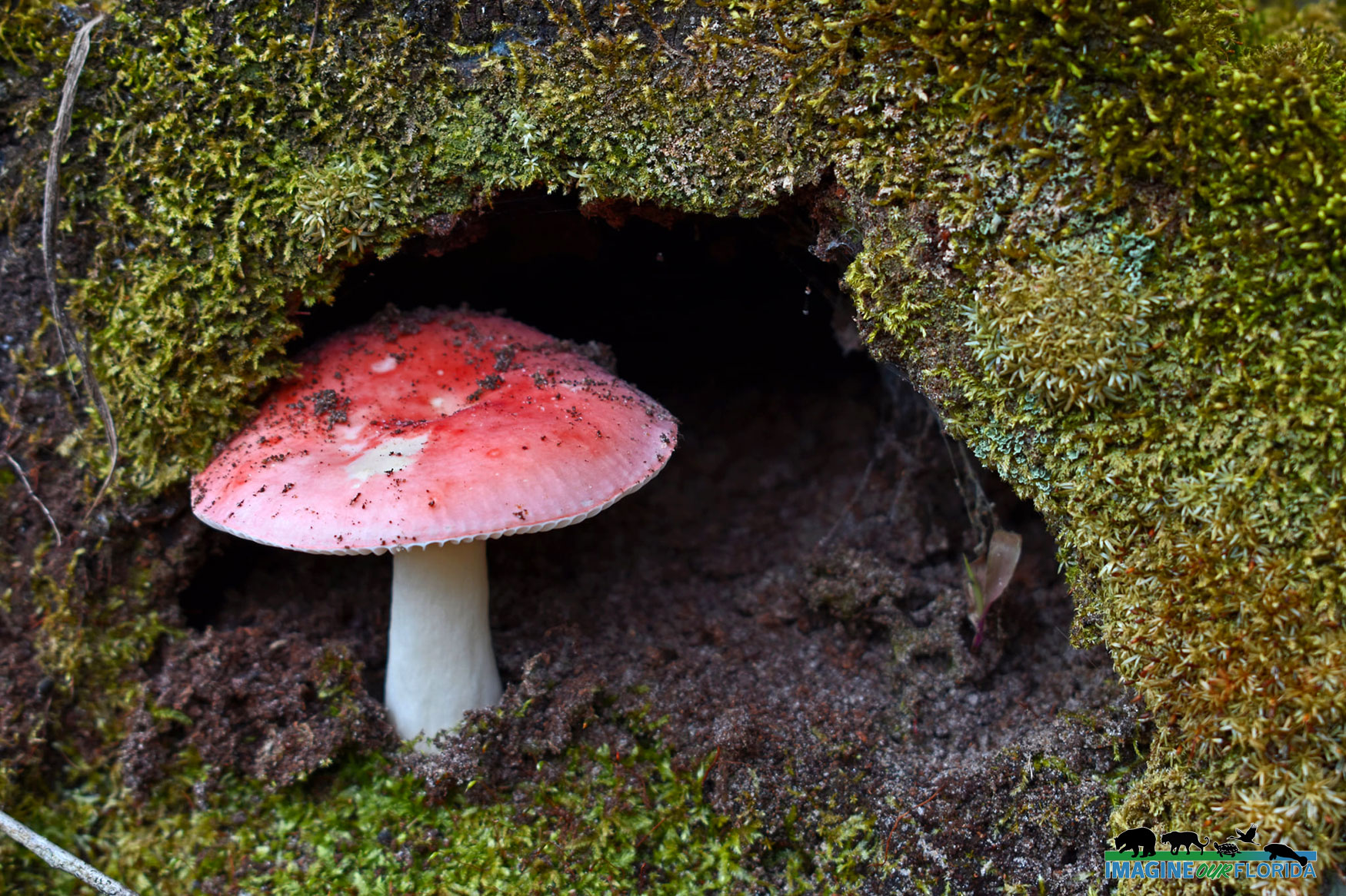
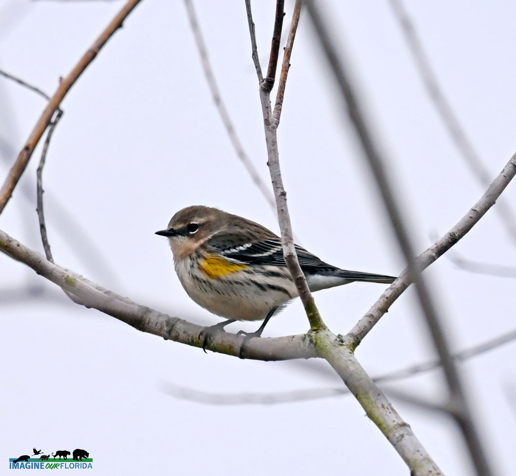
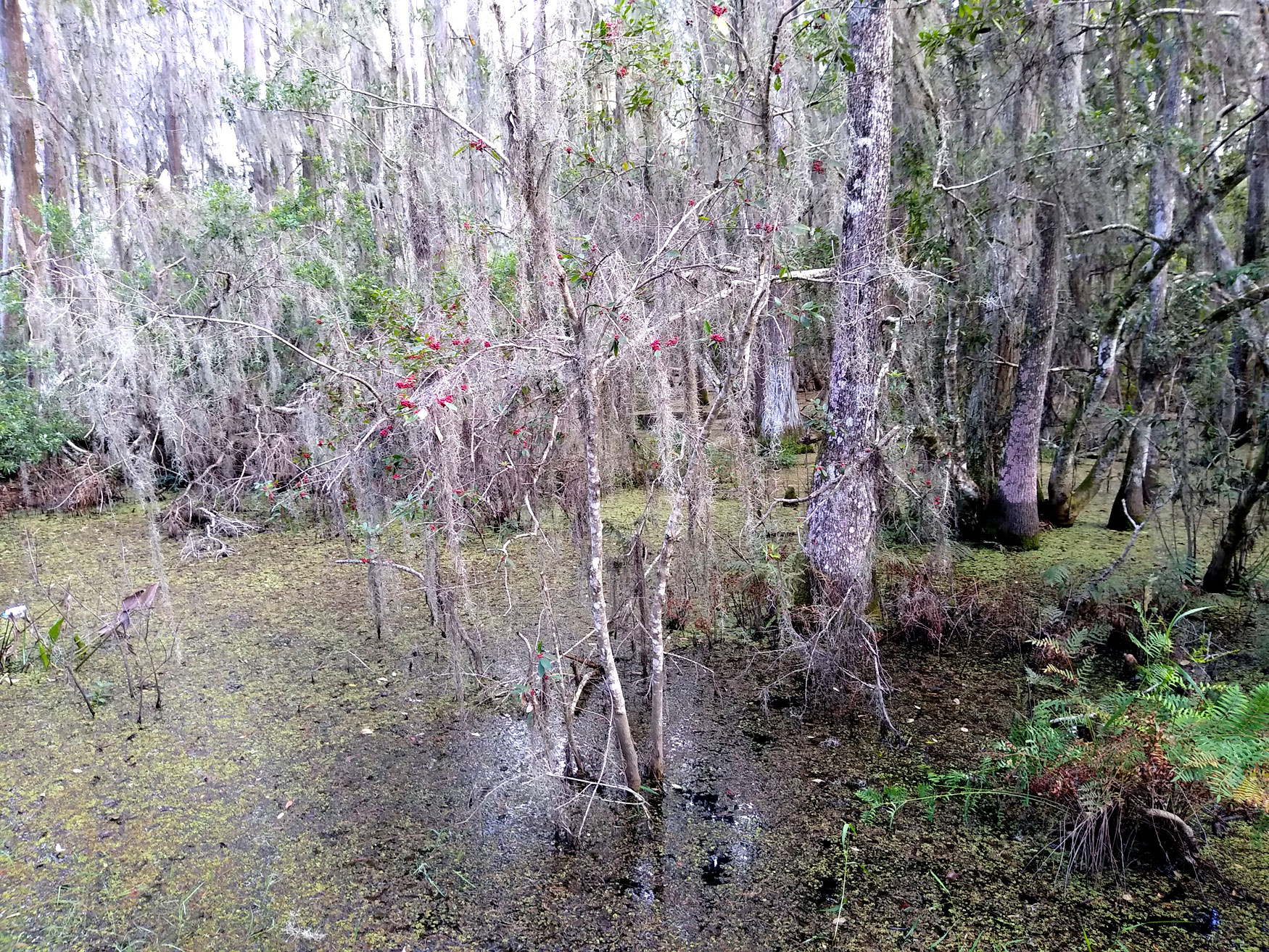
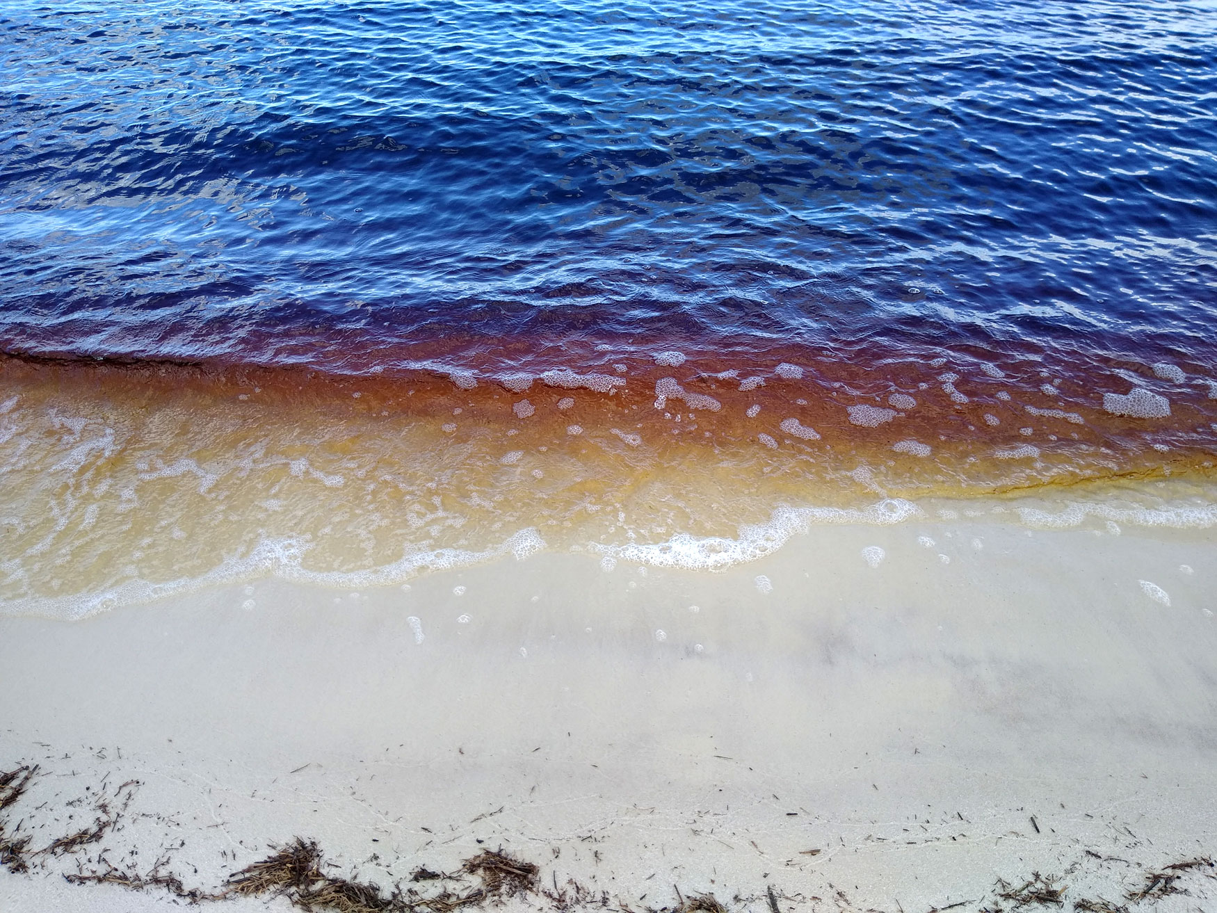
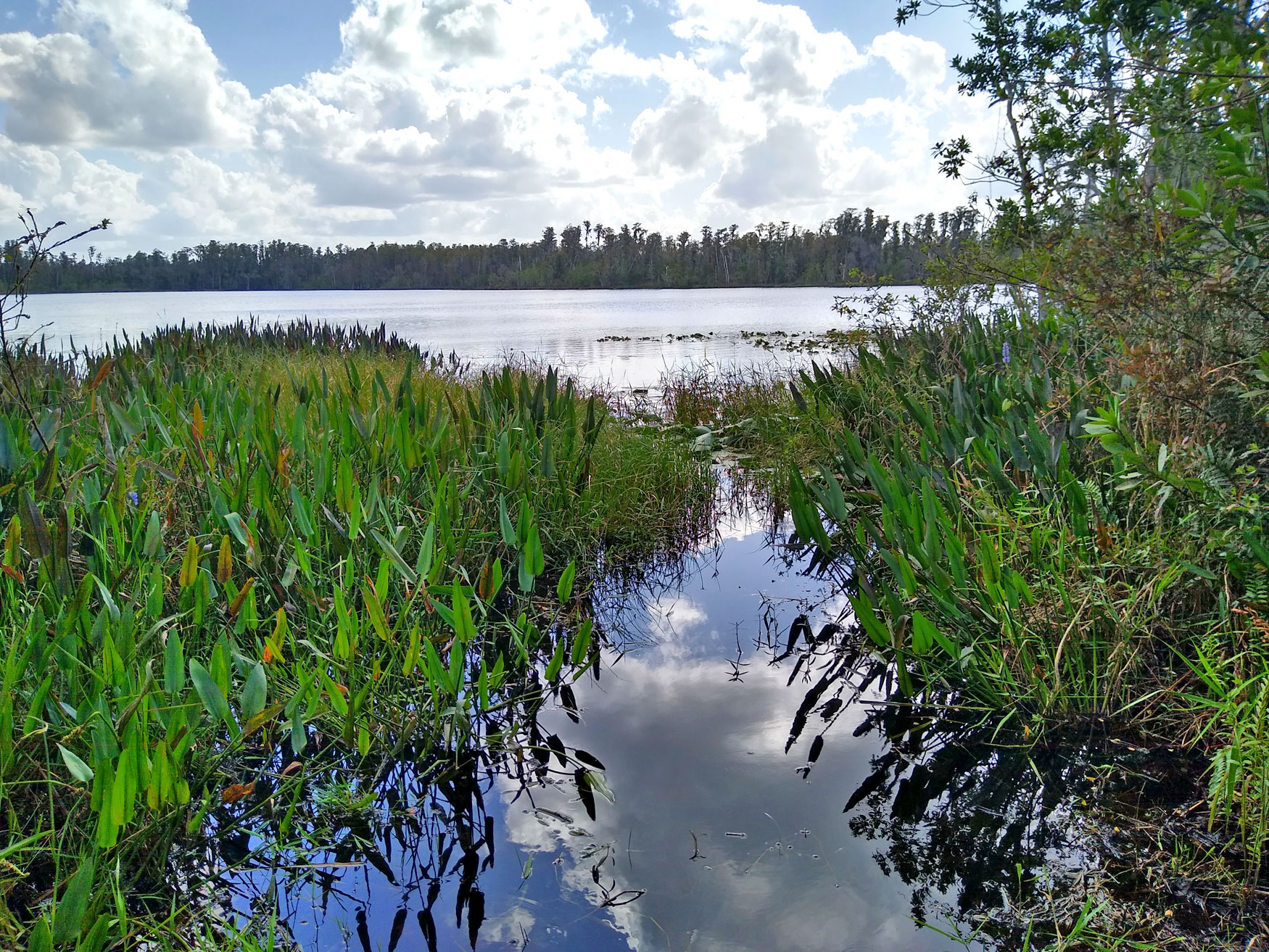
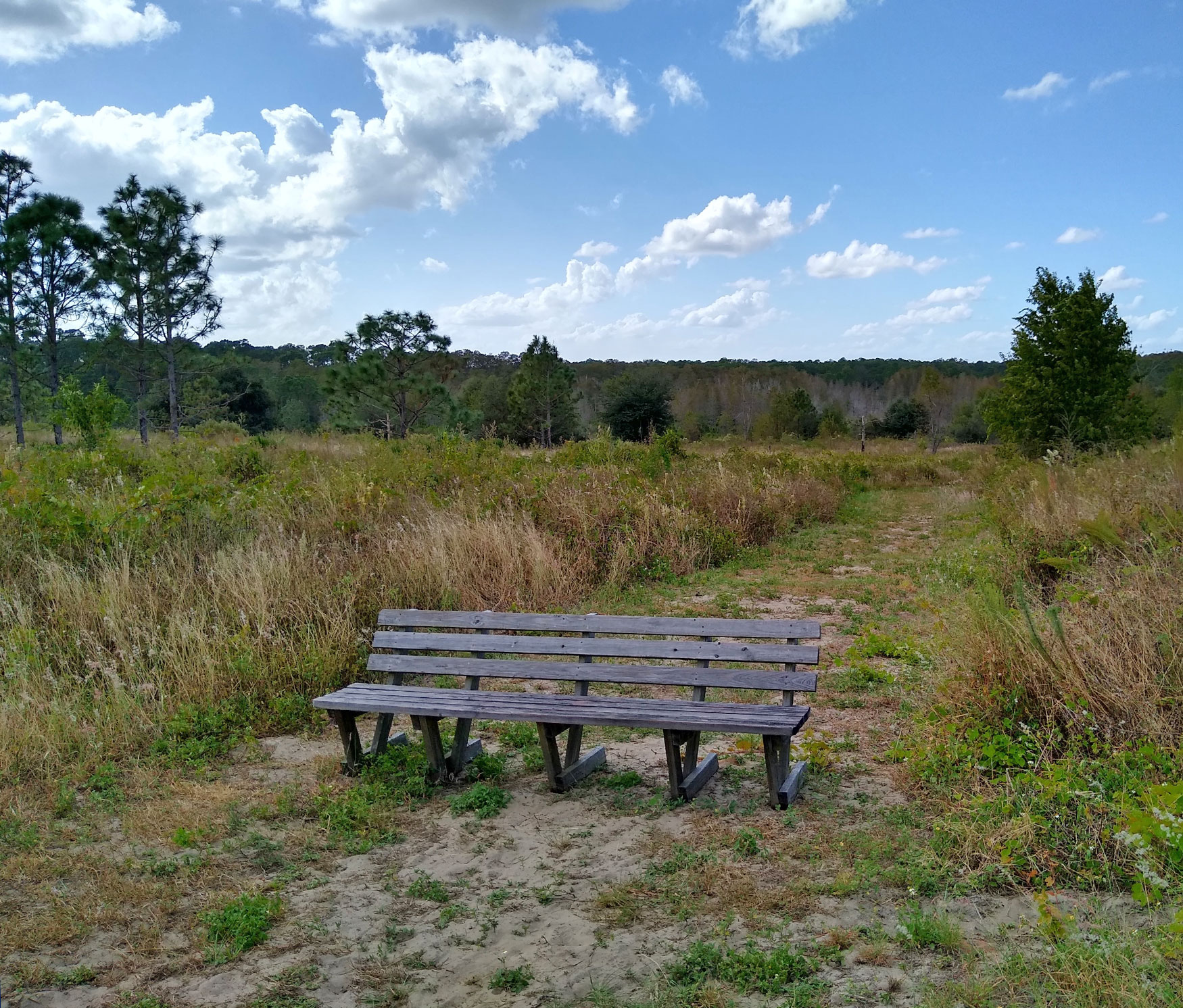
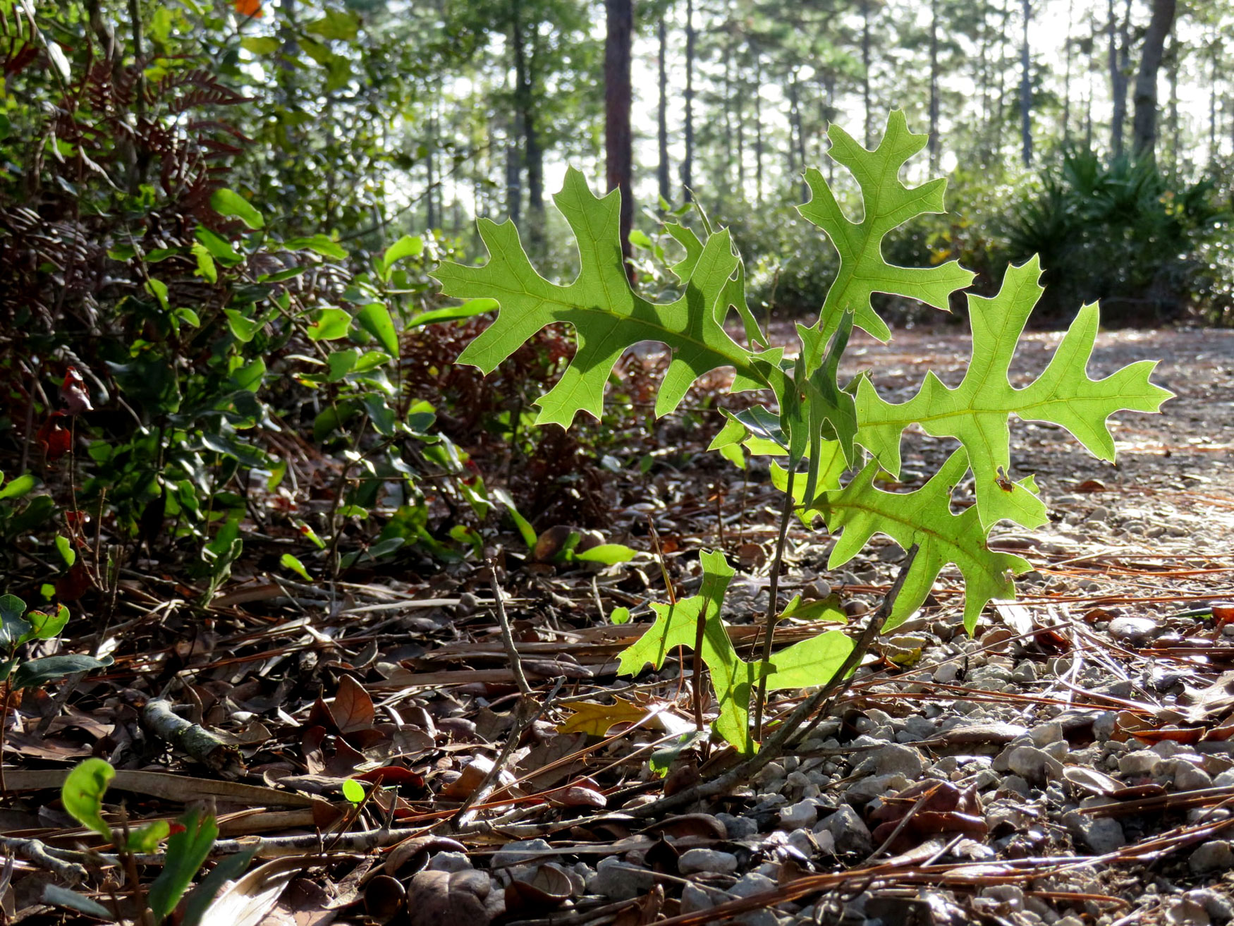
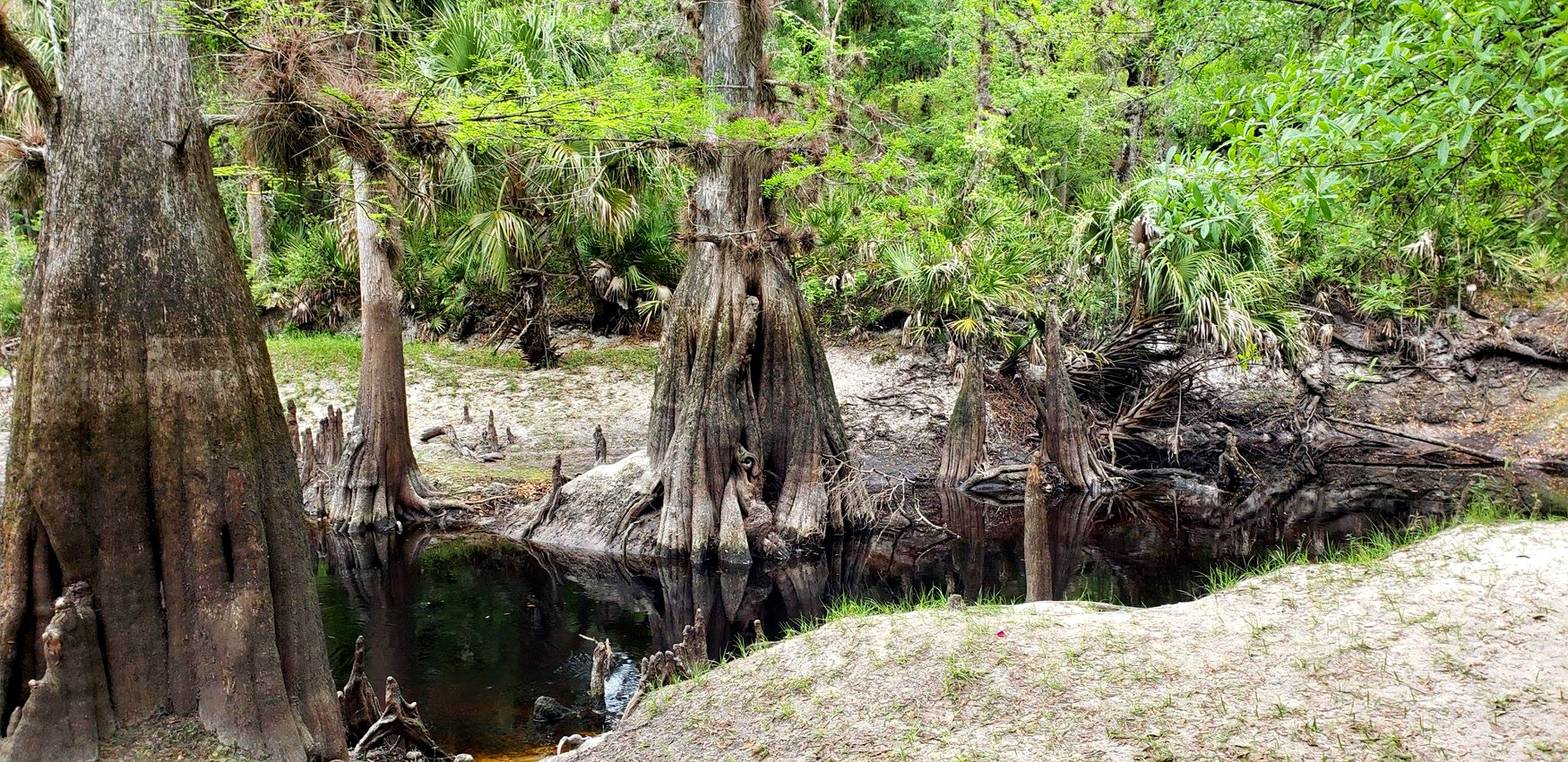
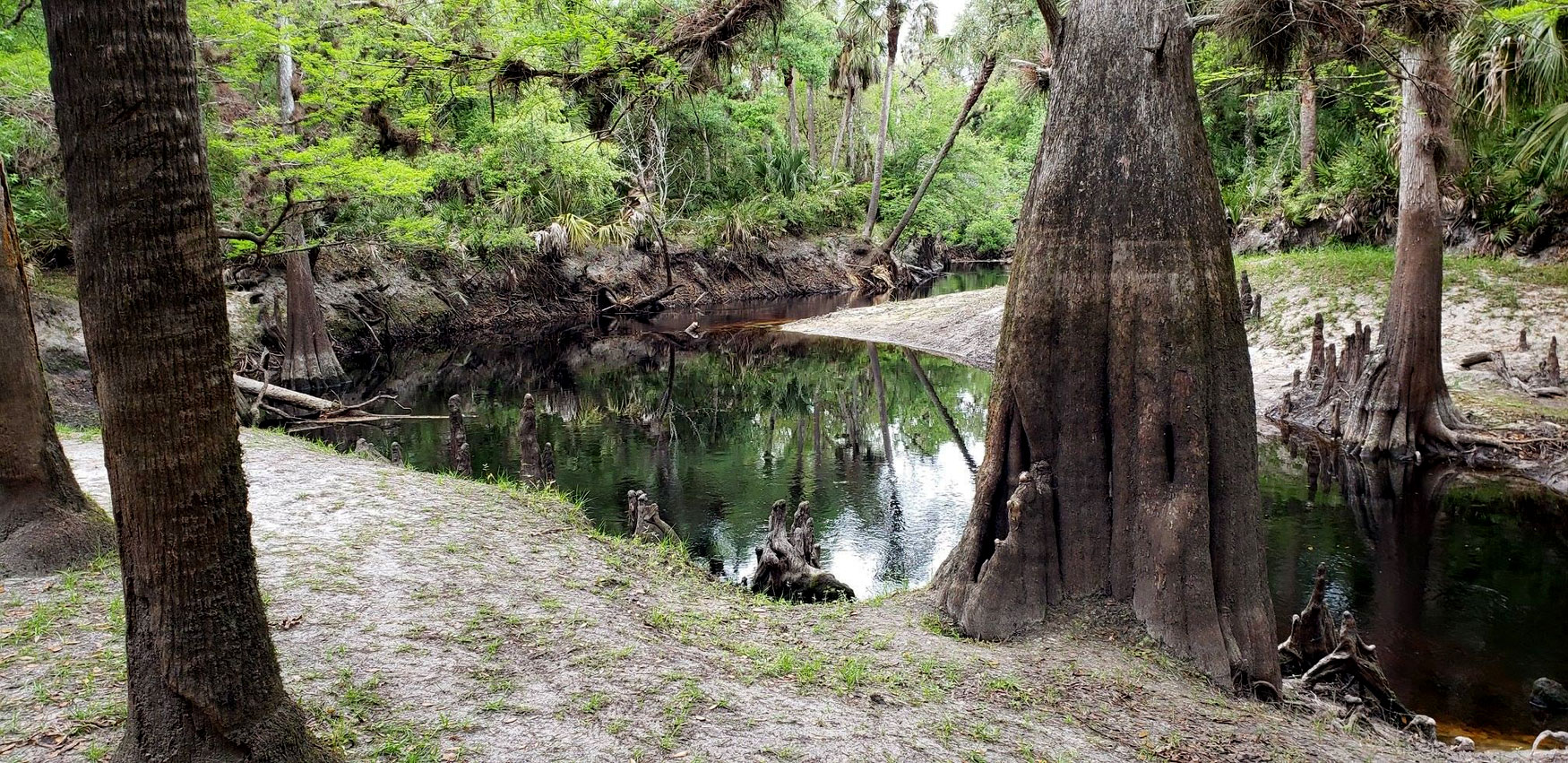
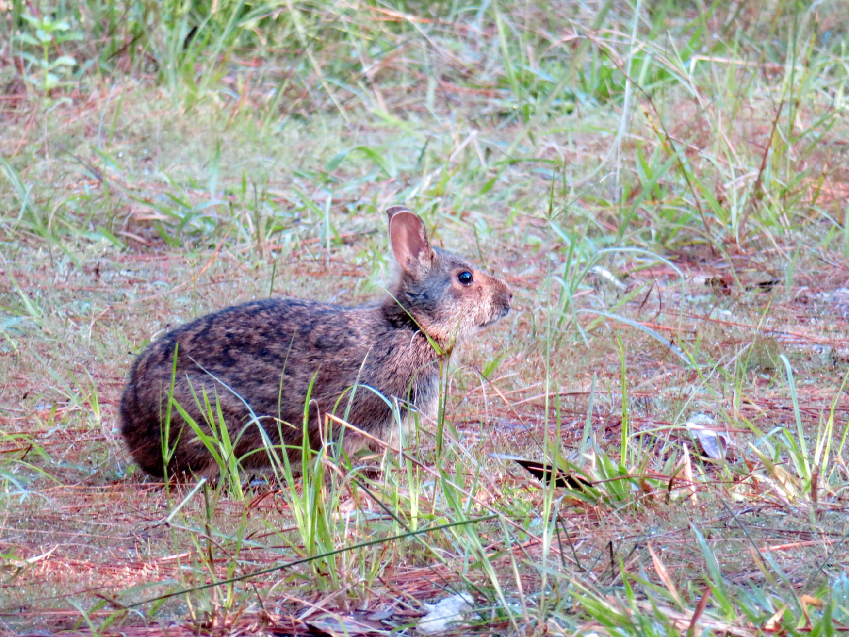
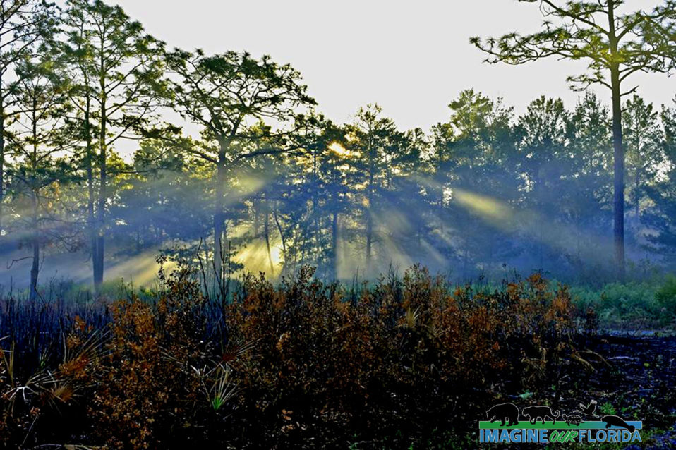
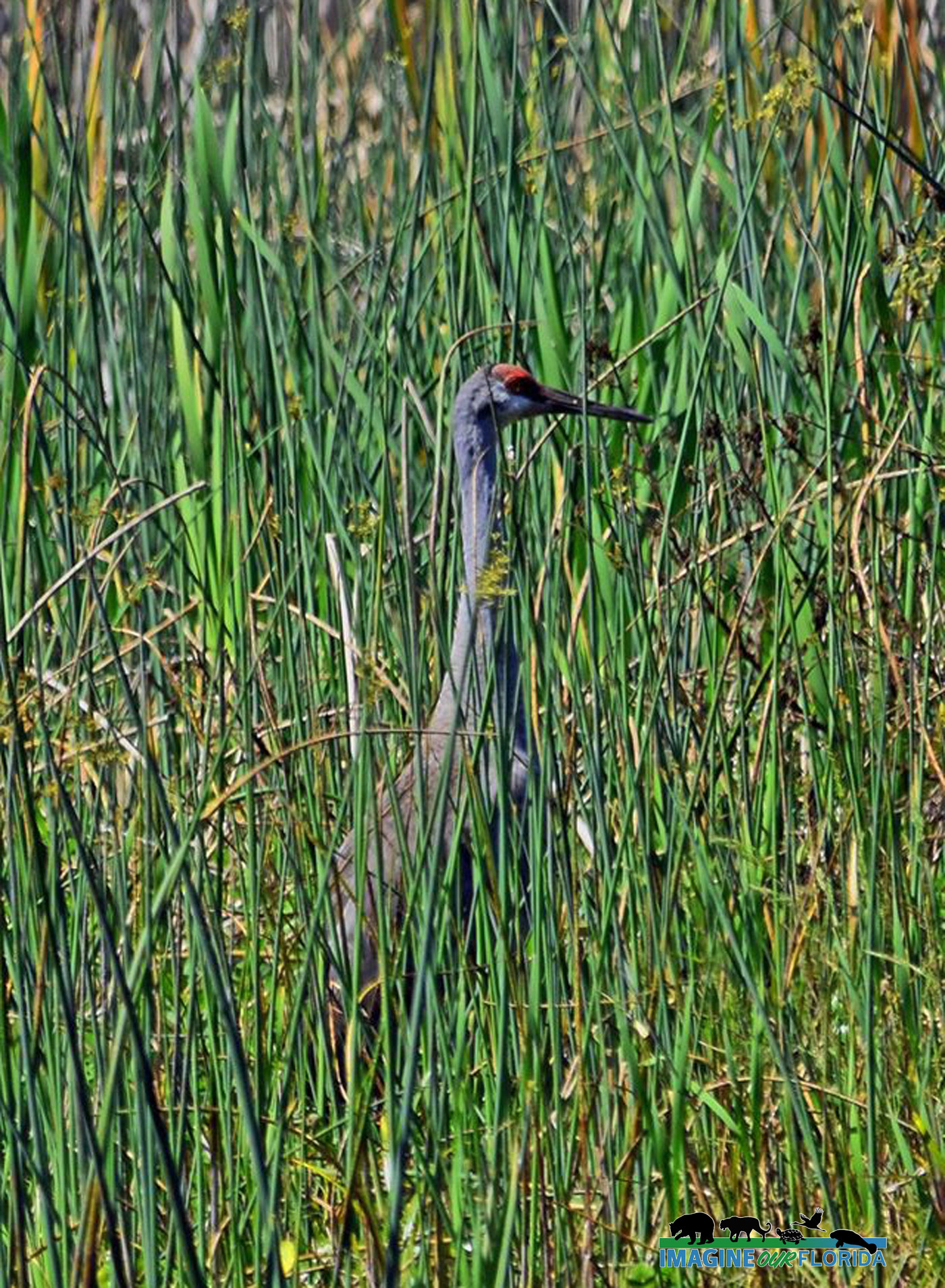
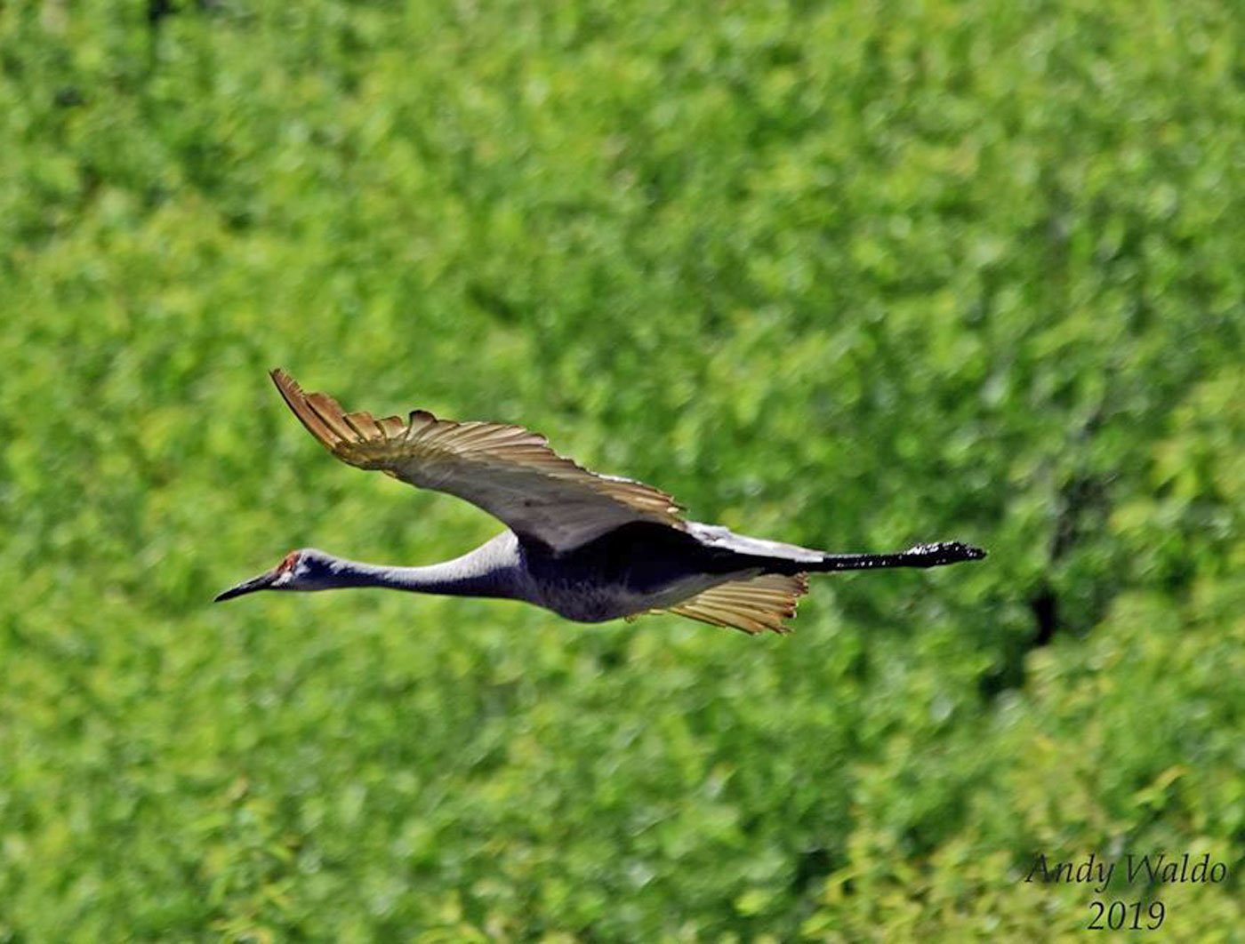
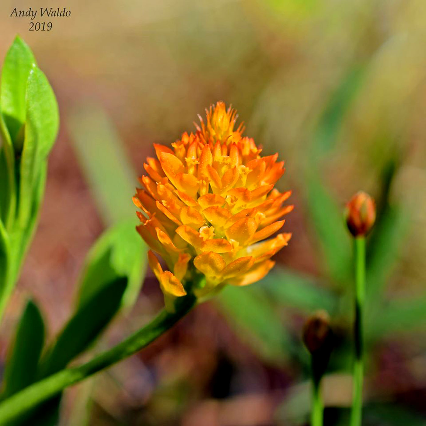
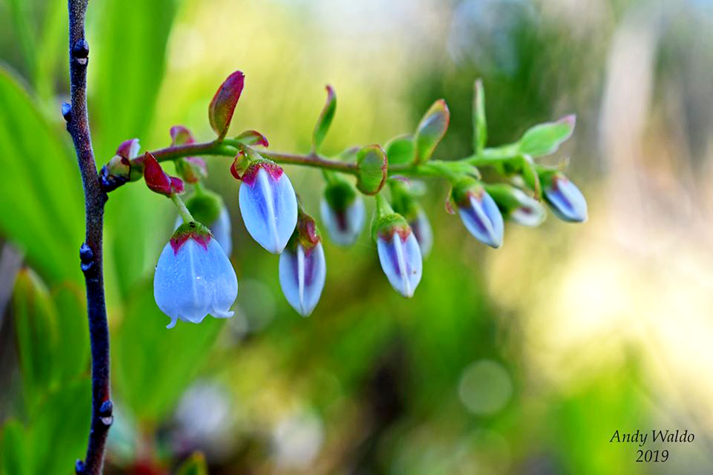
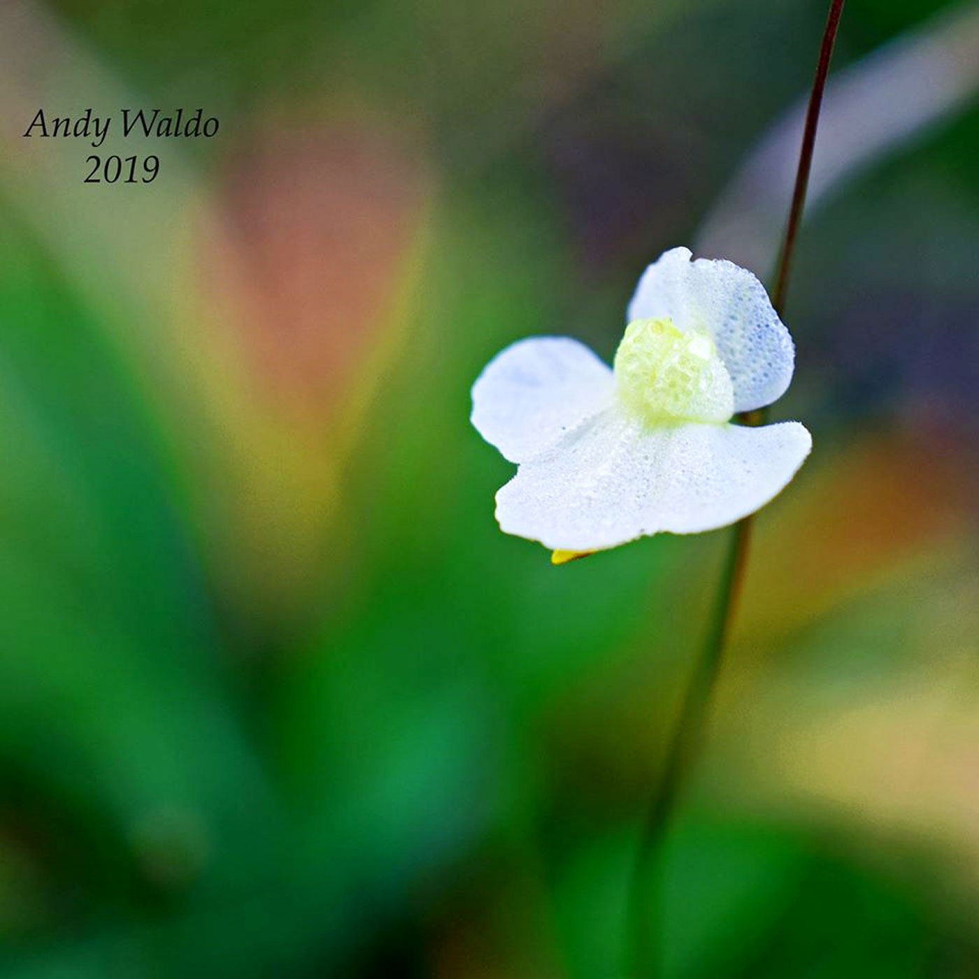
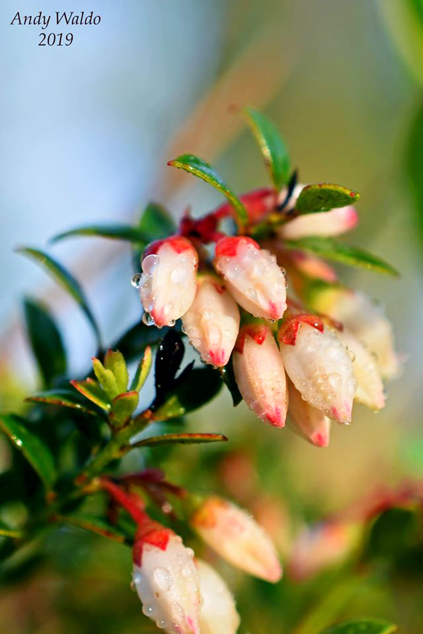
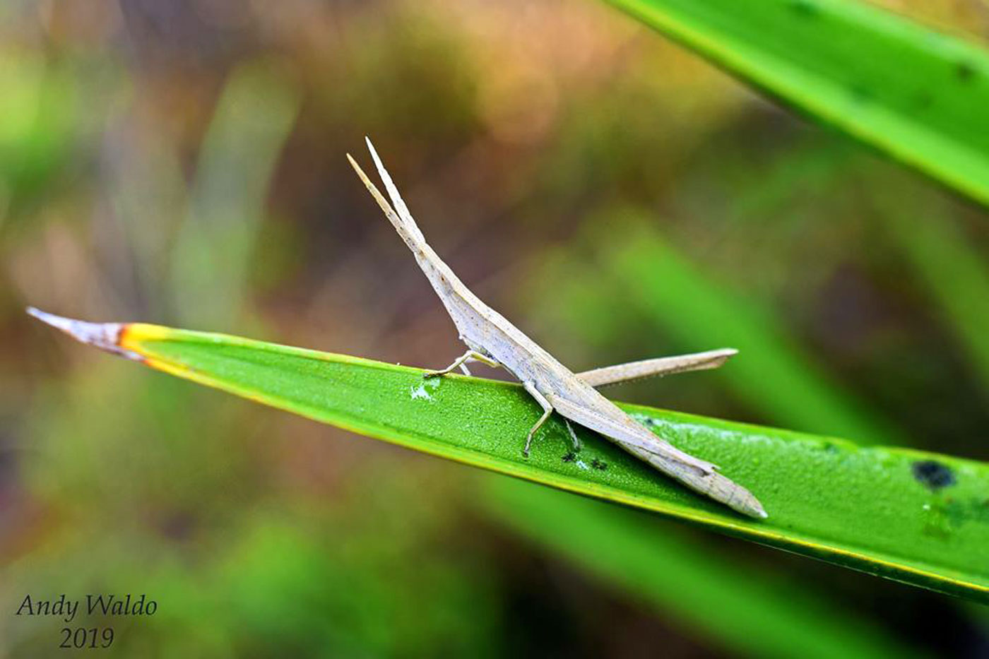
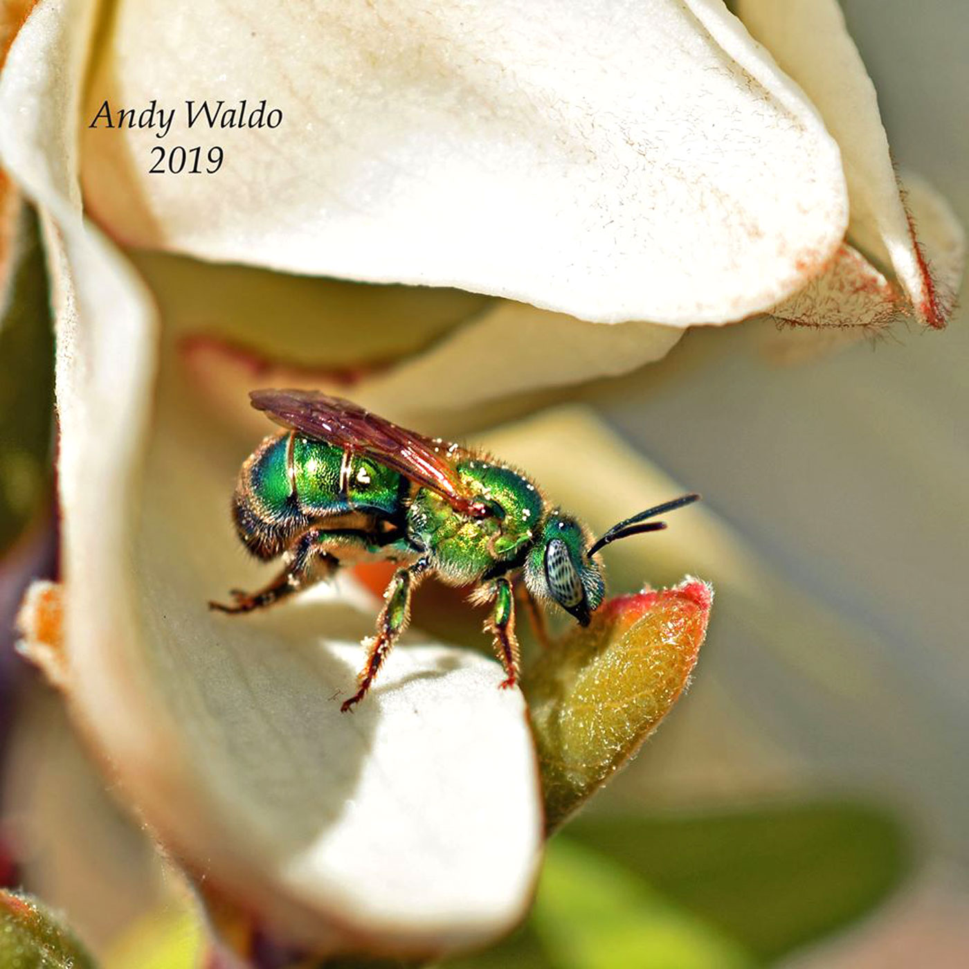
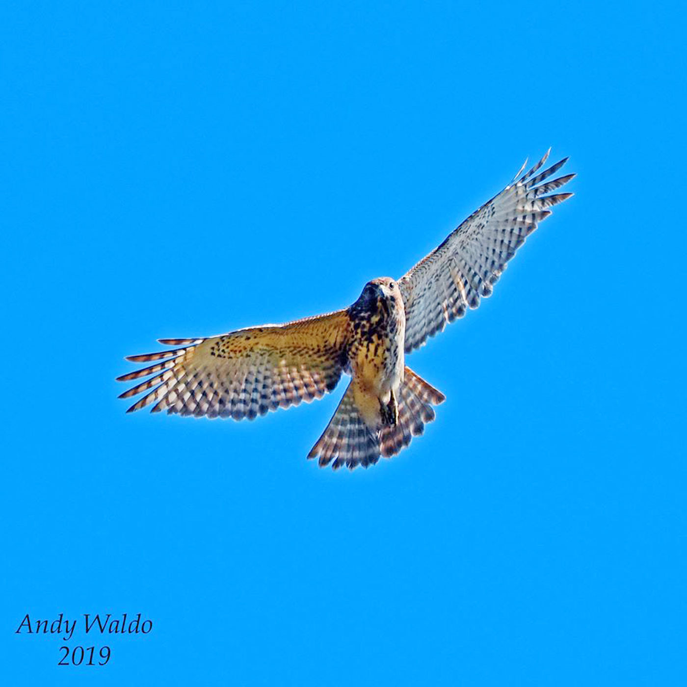
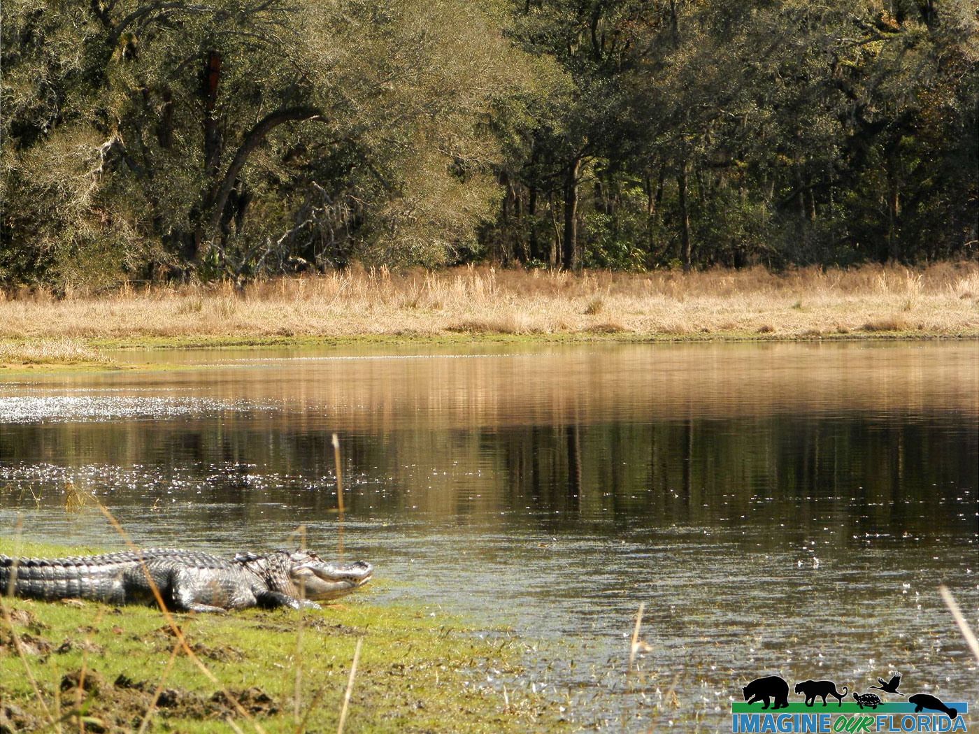
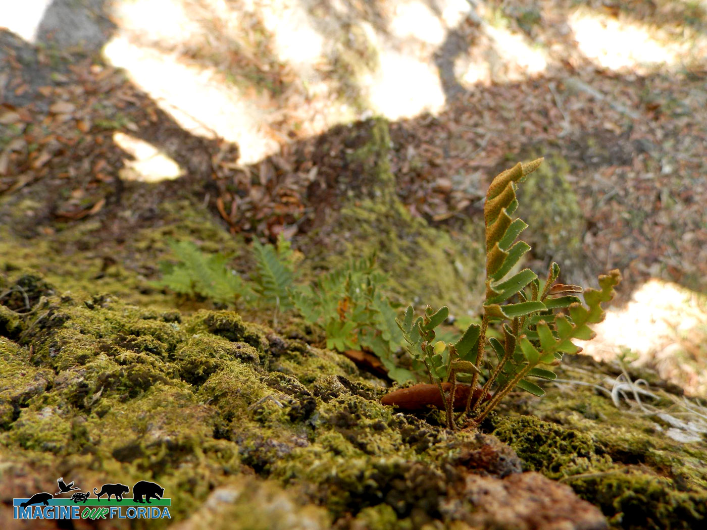
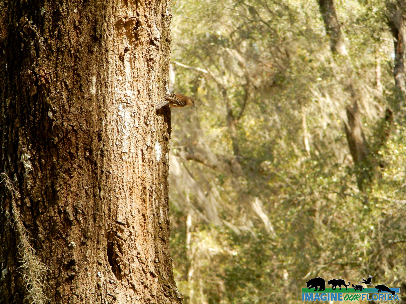
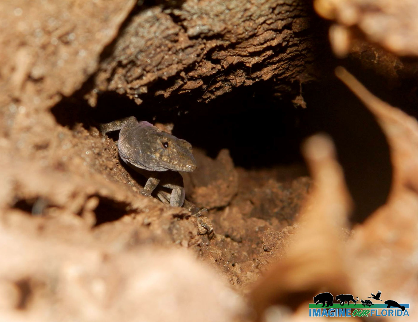
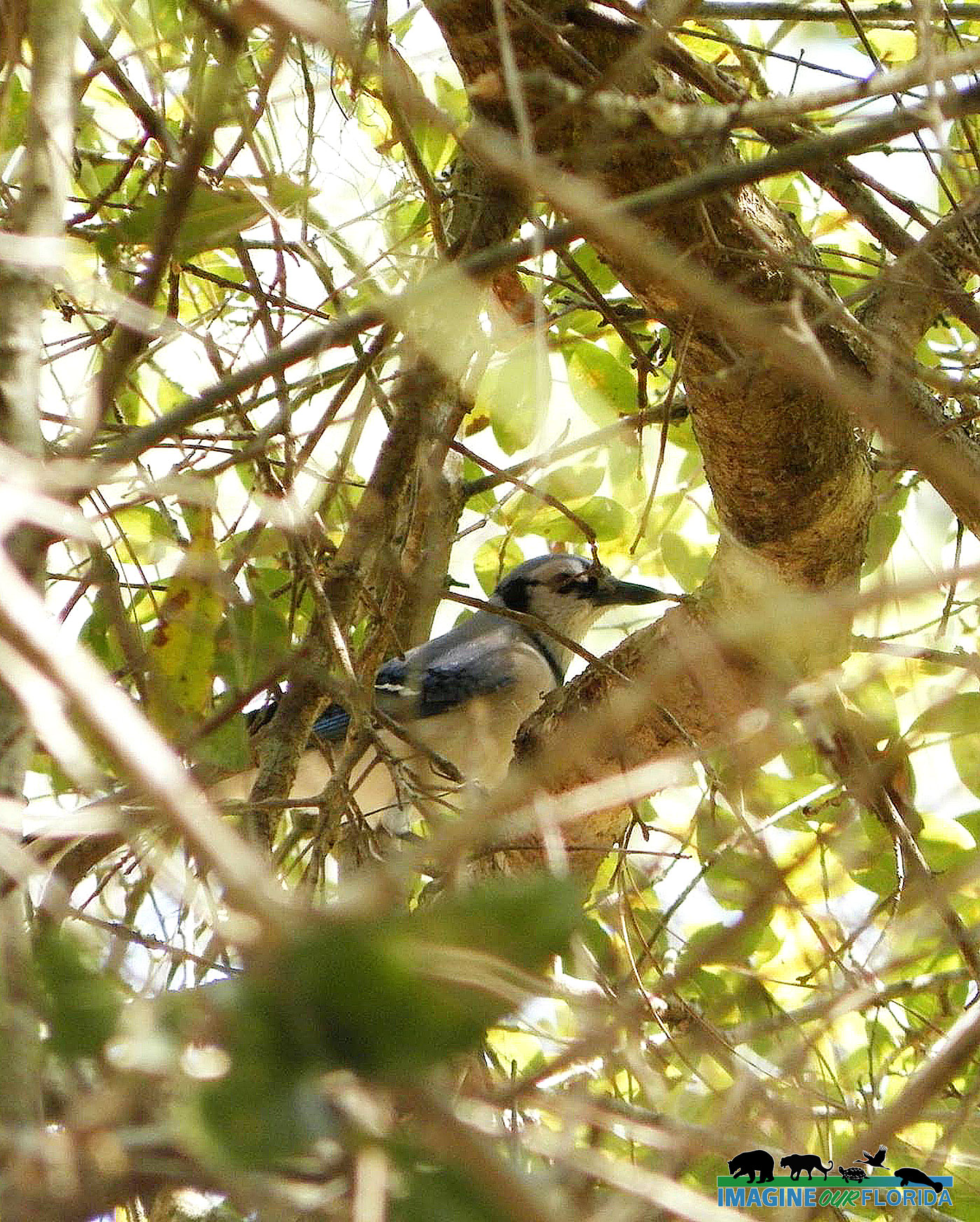
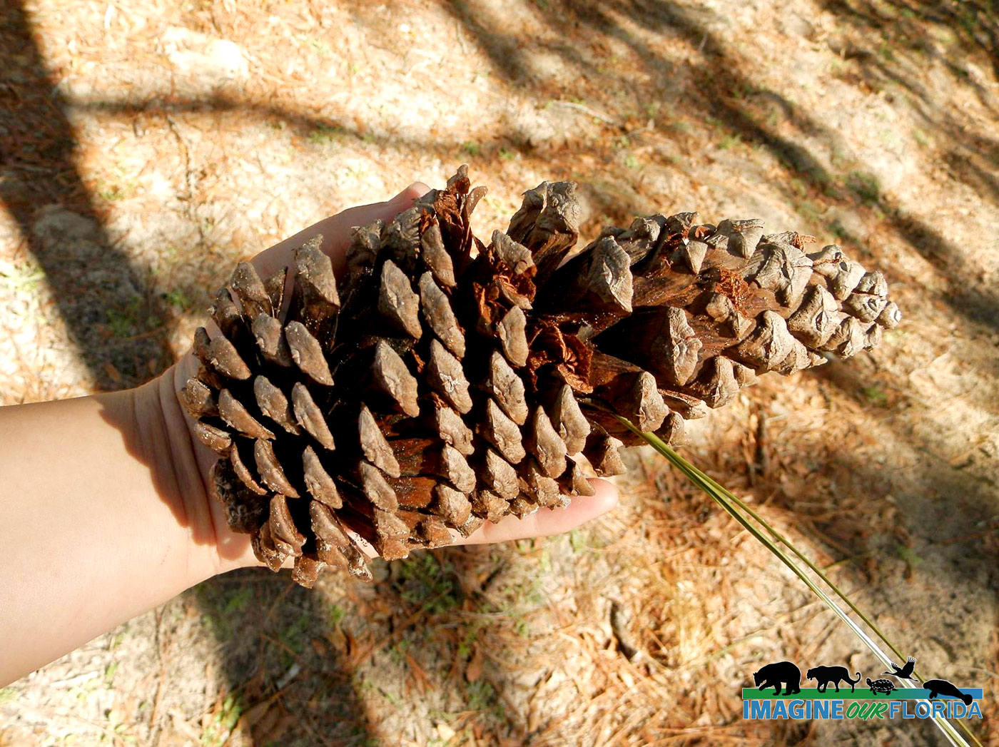
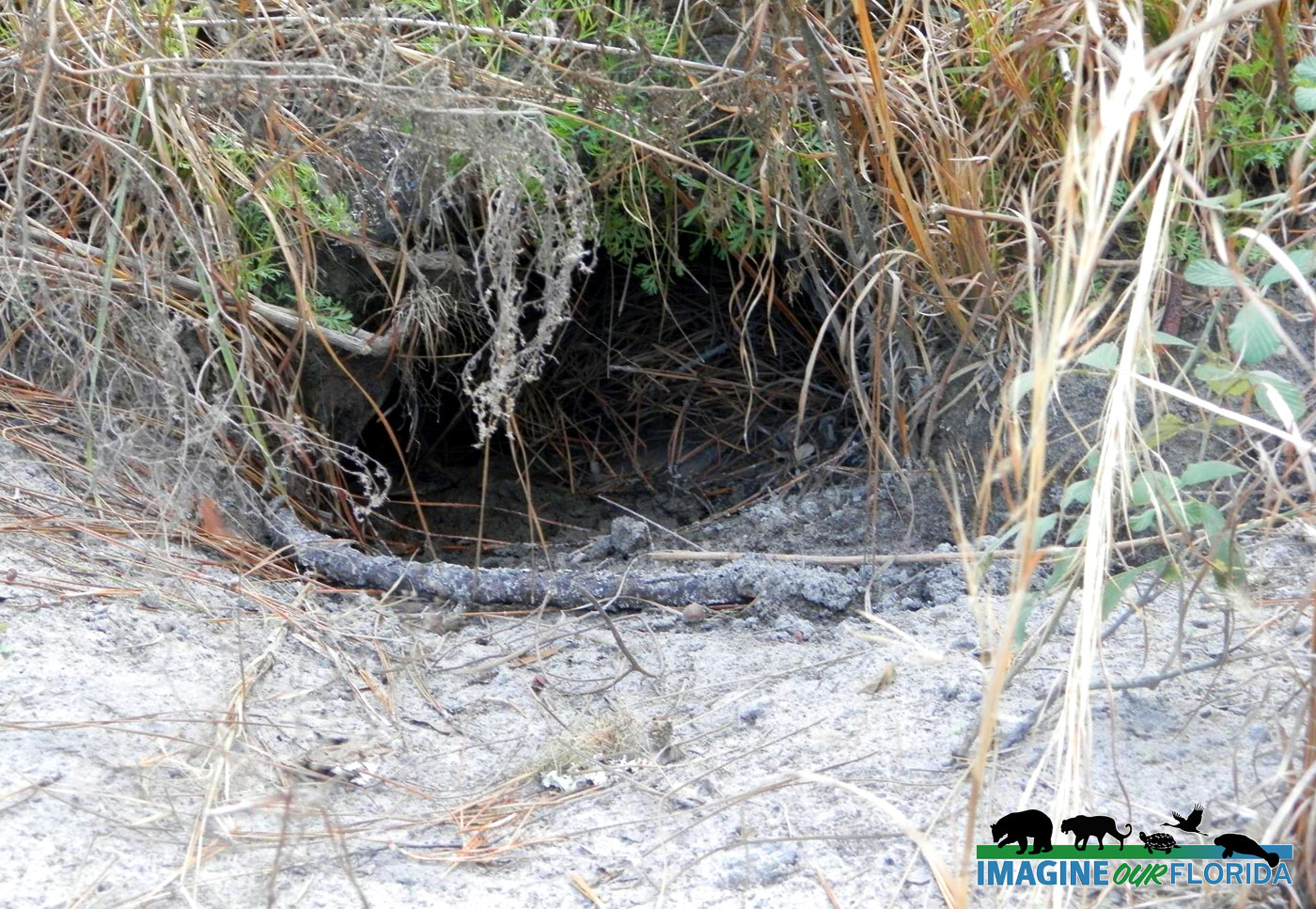
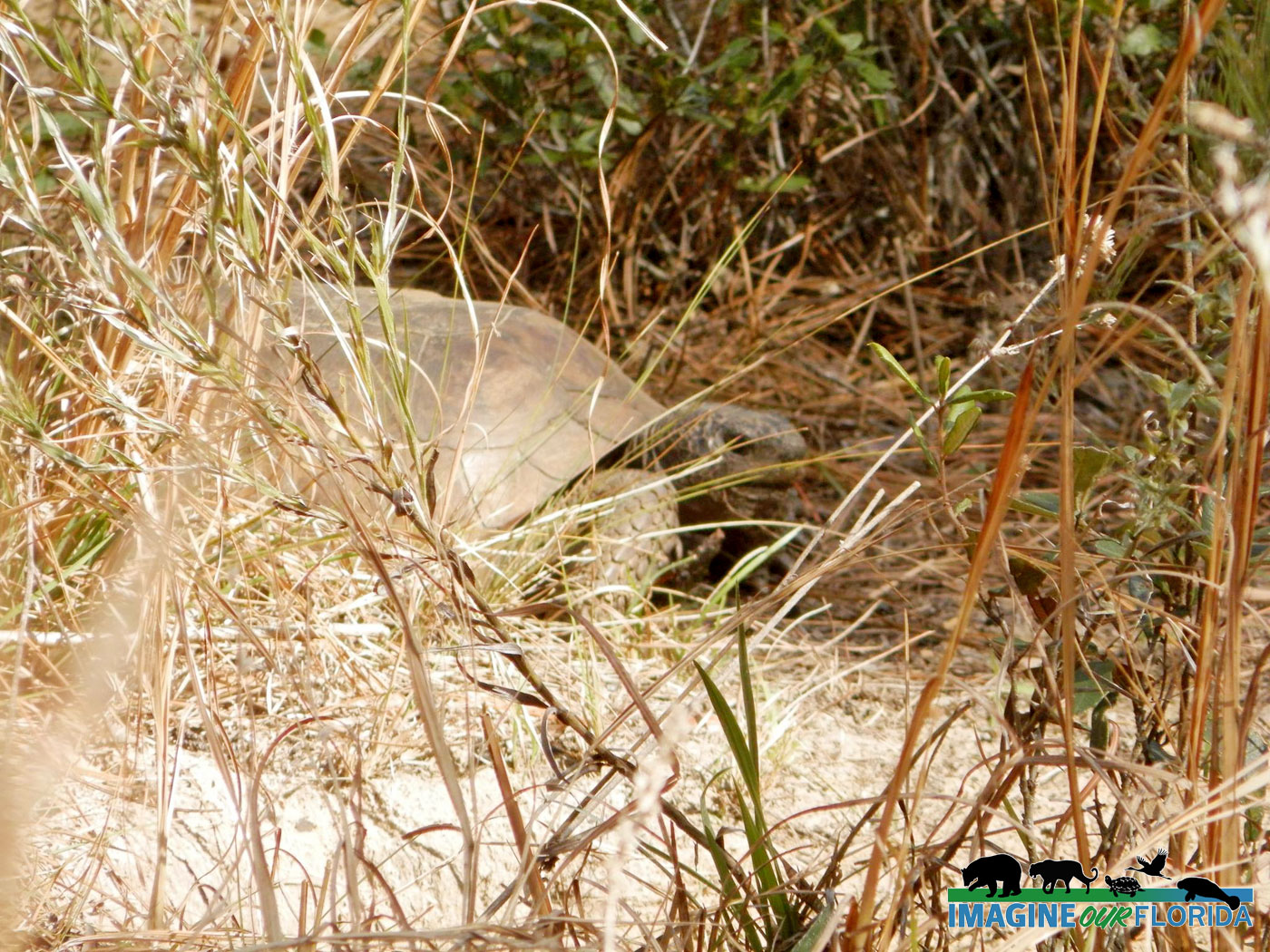
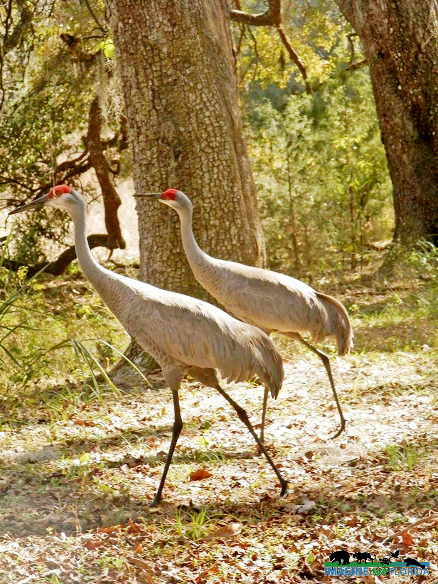
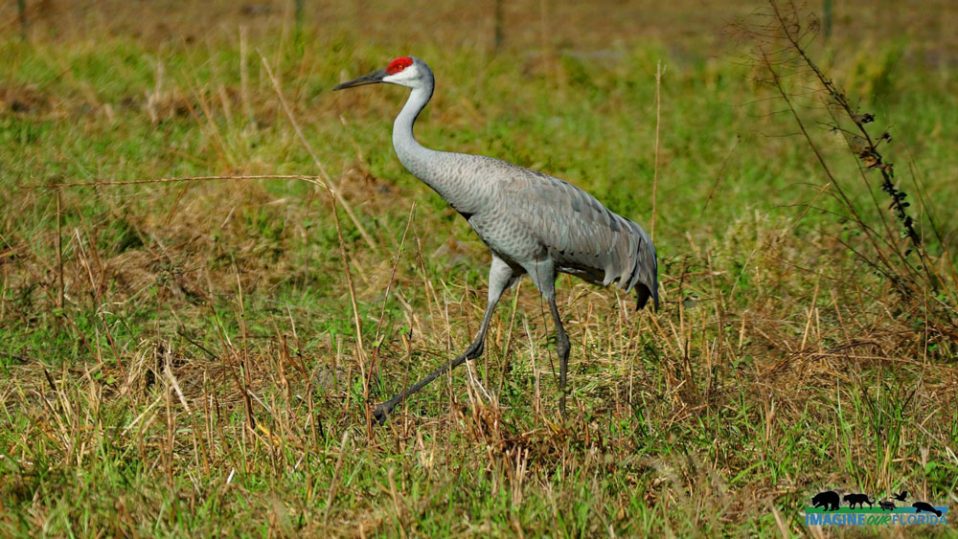
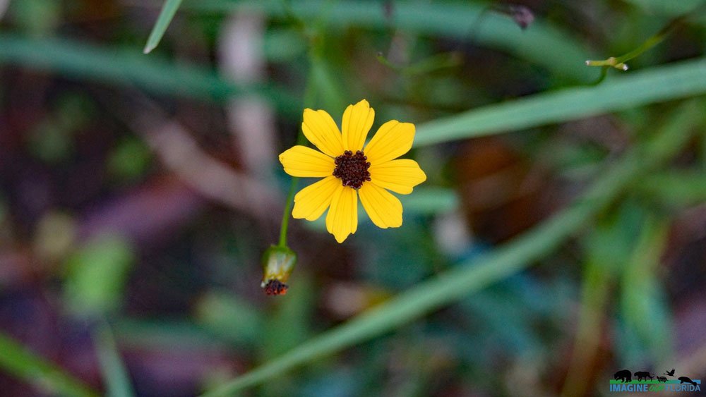
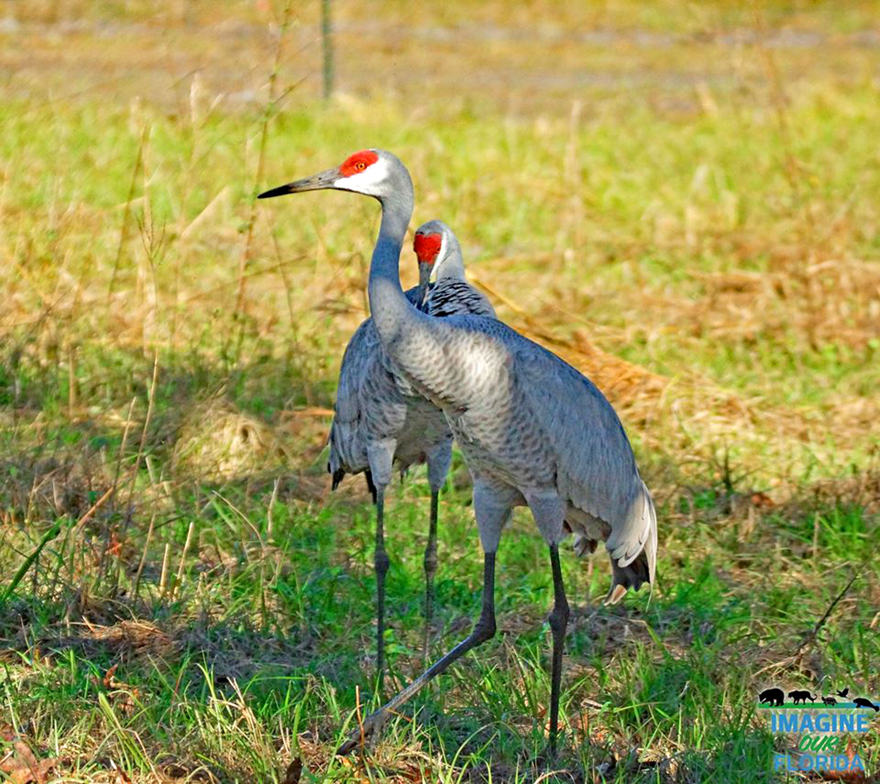
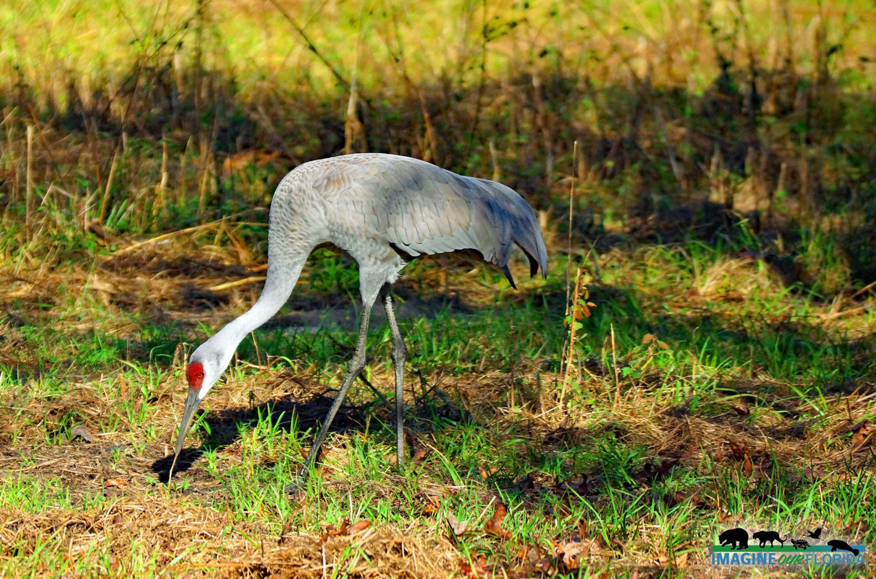
The Pioneer Trail is a straight 1.1-mile trail connecting E. Hall Road and Chase Hammock Road. A straight line without looping makes it not only impossible to get lost but safe and easy for even the most novice trail enthusiasts to use! You will likely cover 2.2 miles round trip unless you turn back early or take a side trail. The trail takes you along two ponds and other water features, with plenty of native Florida vegetation including wildflowers, grasses, palm trees, and more. Keep an eye out for alligators. With the opportunity to see more of this natural Florida scenery, you might want to wander down a side trail.
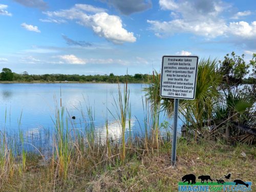
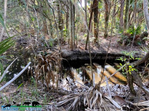
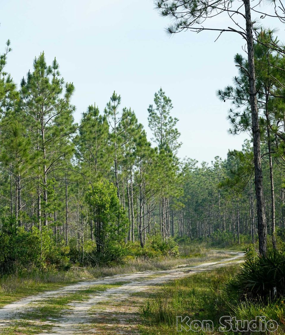
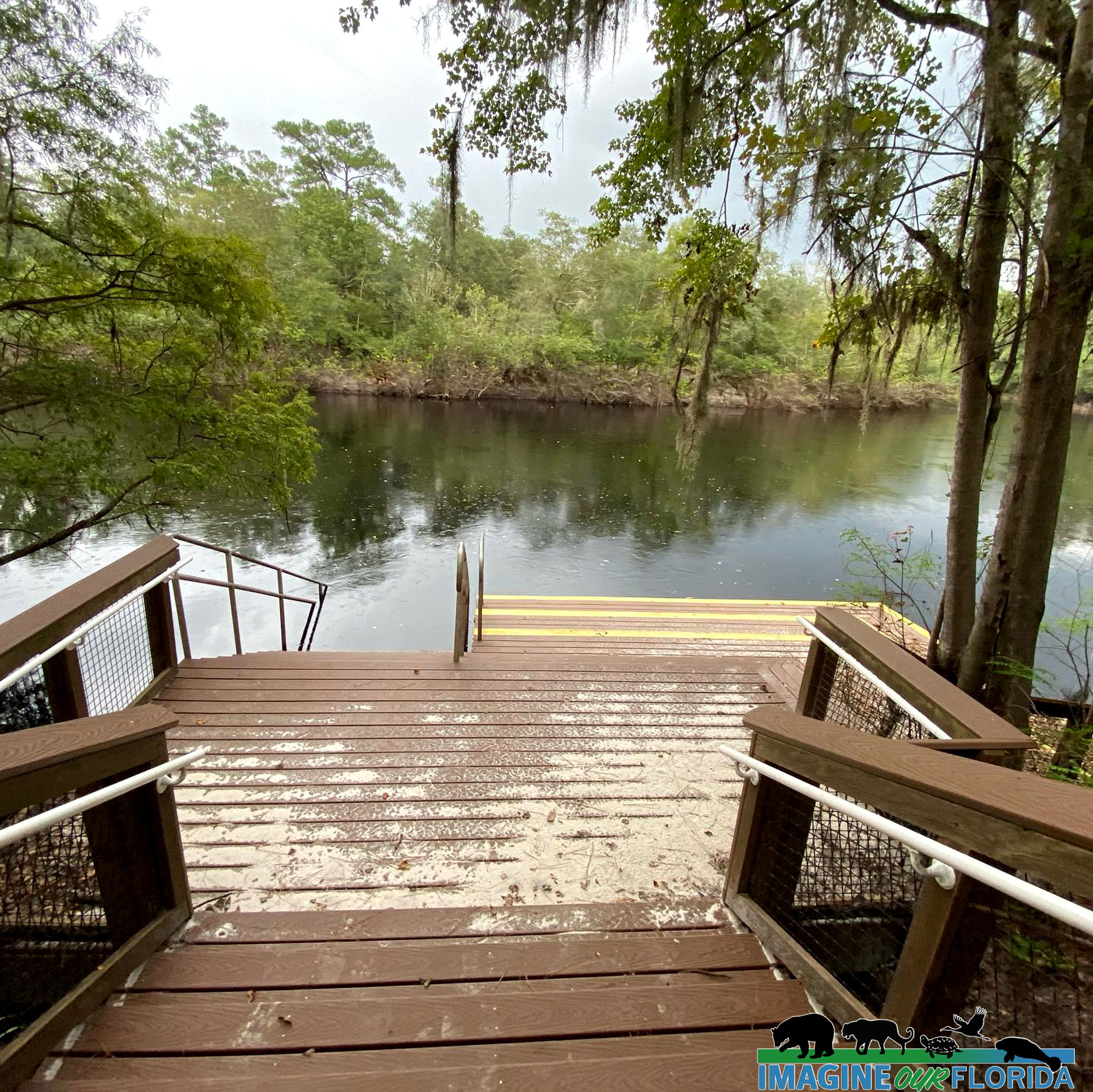
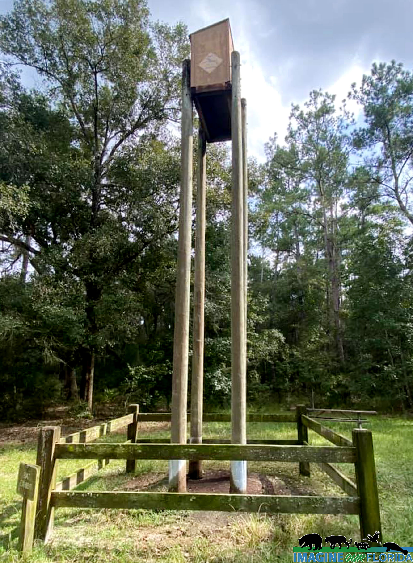
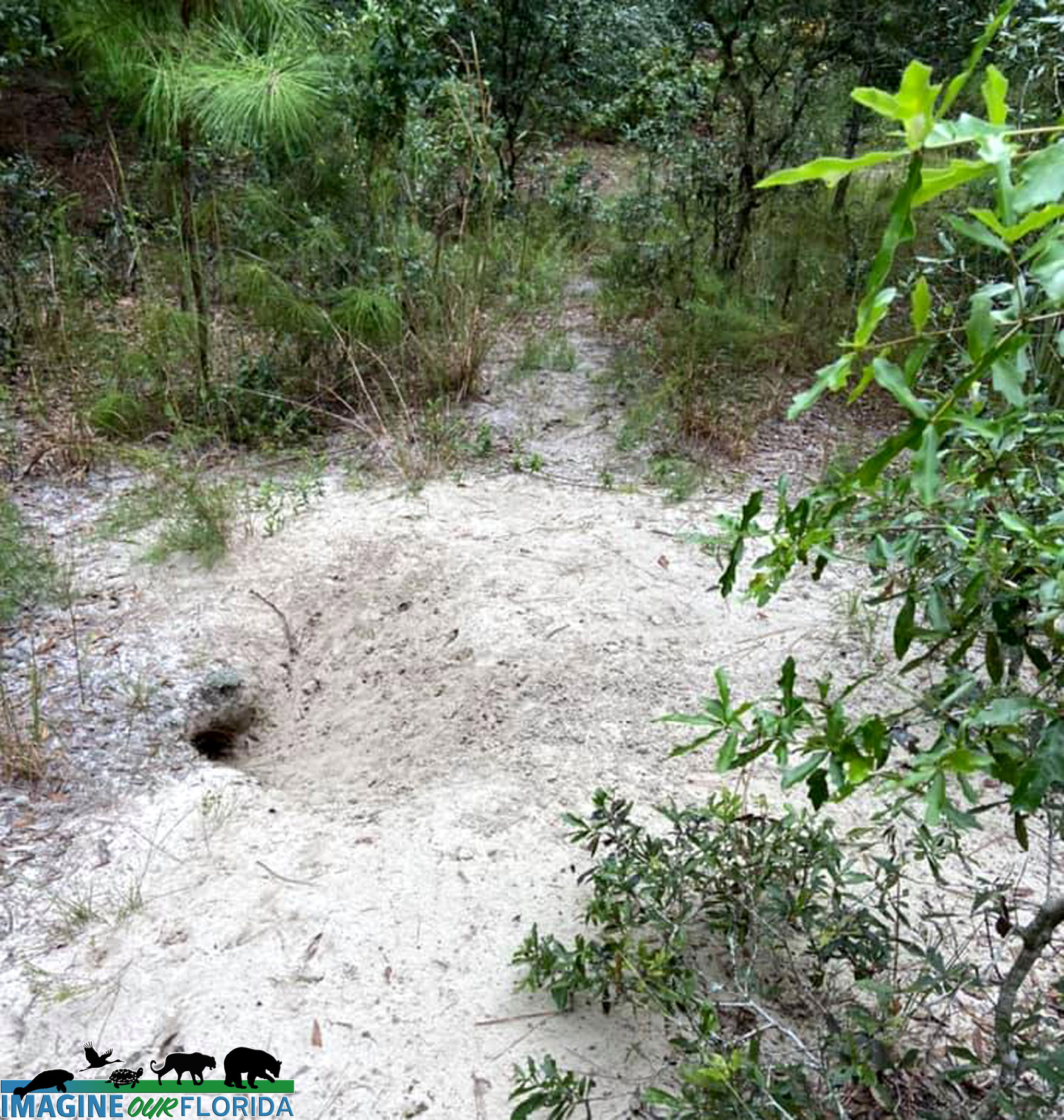
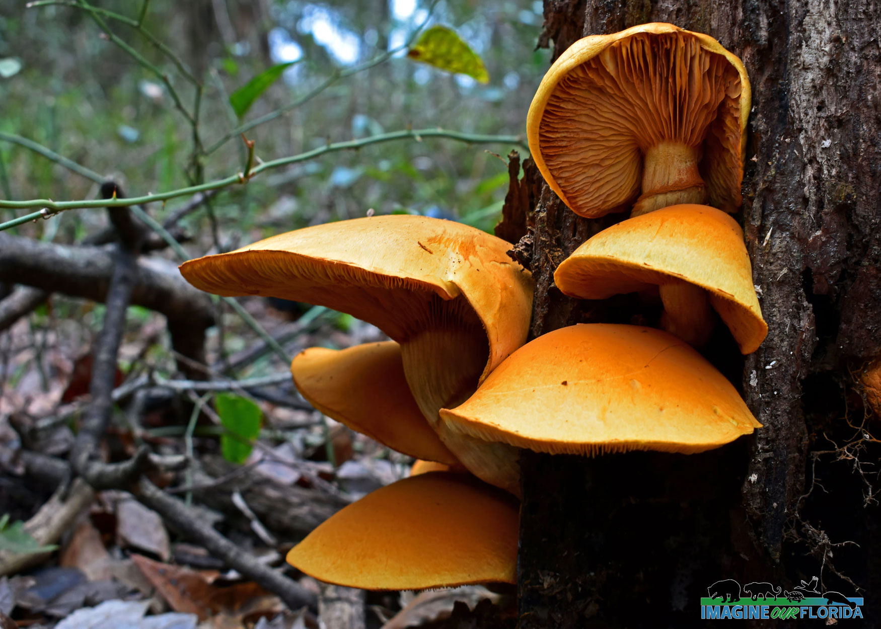
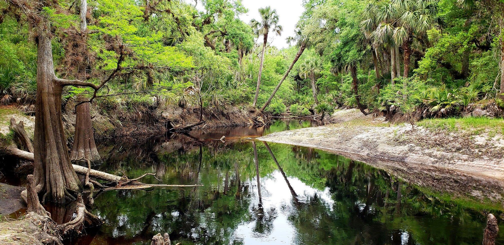
The small developed area at the northeast corner of the park features a multi-use field and paved parking that accommodates practice games and neighborhood play. A deep freshwater lake adjacent to the parking area offers a natural ramp for non-motorized boats. Another small lake, a canoe trail, and rustic nature trails invite exploration for the adventurous. Don’t forget your sun protection, extra water, and bug spray. There are restrooms, a pavilion, and picnic tables at either end of the trail.
Amenities:
Restroom
1.4-mile Pioneer trail.
Picnic area
1 Multi-use field
Canoe Launch,
Freshwater,
Non-motorized Access
Photo Credit and Author: Director Bobby Putnam
Read more

Tiger Bay State Forest

Tiger Bay State Forest is a protected forest in Volusia County, near Daytona Beach and DeLand, and is easily accessible from Interstate 95. The forest offers several recreational activities, including hiking, biking, horseback riding, and fishing in some of the area’s streams and lakes. Tiger Bay State Forest was severely impacted by the 1998 Summer Wildfire Firestorm. Approximately 15,000 acres of forest were burned during these catastrophic wildfires. Restoration included extensive salvage timber removal, and reforestation efforts have been completed.
The forest is named after the nearby Tiger Bay Creek, its primary geographical characteristic, which runs through the area. Tiger Bay is a crucial source of groundwater replenishment for the local region. The hydric swamp forest is punctuated by clusters of pine-covered islands, which make up 40% of the forest area. Additionally, the forest encompasses Indian Lake and Scoggin Lake, as well as several smaller bodies of water, including Coon Pond, a naturally occurring pond, and Rattlesnake Pond, Woody Pond, and Ranch Pond, which are man-made and open to the public for fishing. Additionally, three other unnamed man-made ponds are situated within the forest. The forest covers over 27,000 acres of land and is managed by the Florida Forest Service.
Tiger Bay Forest has many native animals such as white-tailed deer, wild turkeys, alligators, and black bears. It also supports a variety of bird species, including bald eagles, red-shouldered hawks, and woodpeckers. The forest is also an essential habitat for the endangered Florida sandhill crane and gopher tortoise, which are both protected species in the state of Florida. Tiger Bay State Forest is also home to several plant communities, including longleaf pine forests, cypress swamps, and wetlands.
Visitors to Tiger Bay State Forest can engage in a wide range of recreational activities, including hiking, bicycling, horseback riding, picnicking, boating, fishing, hunting, nature study, and photography. However, it should be noted that horseback riding and bicycling are only permitted on forest roads, permanent firelines, and specifically designated trails. Tiger Bay State Forest boasts one hiking trail, the Buncombe Trail, part of the Florida Forest Service’s Trailwalker Hiking Program. Additionally, the forest features one equestrian trail, Rima Ridge Trail, which is part of the Florida Forest Service’s Trailtrotter Program. For those who prefer a leisurely stroll, the forest also offers the Pershing Highway Trail, which covers just over a mile of scenic brick road built in 1917. For visitors who wish to spend the night in the forest, there are semi-primitive campgrounds available, including the Tram Road Equestrian Campground located on the Rima Ridge Tract. This campground includes small corrals for horses and a non-potable water supply.
Overall, Tiger Bay State Forest is an important ecological area that provides critical habitat for various native animals and plant species. Its diverse habitats make it an ideal location for outdoor recreation and a great place to explore Florida’s natural beauty.
Photo Credit: Dan Kon
Author: Renada Hill – Student Valencia State College
Read more

Split Oak Forest WEA

Split Oak Forest is a 2,000 acres of wildlife conservation area located south of Orlando near Lake Nona. It is named for the 200-year-old oak tree that split in the middle and lived. Portions of the forest were once utilized for cattle operations and turpentine. However, Florida acquired Split Oak Forest in 1994 using funds from the Florida Fish and Wildlife Conservation Commission’s Mitigation Park Program. The area is now used to protect the gopher tortoise and other species of wildlife that are federally listed and to restore and maintain the forest for the critical benefits of the state. FWC manages this Wildlife and Environmental Area.
Split Oak Forest is the home of various animal species, including sandhill cranes, gopher tortoises, white-tailed deer, fox squirrels, butterflies, kestrels, woodpeckers, and songbirds. The forest is also home to various rare plant species. The area has scrub and prairie that includes sandhill terrain. There are also a couple of ponds and Lake Hart borders the north side of the forest. This makes it the perfect spot to saunter while spotting various species of animals.
Split Oak Forest provides about 24 miles of Great Birding and Wildlife trails to enjoy alone or with family and friends. There are five named and marked trails in Split Oak: North/South Trail (5.2 miles), Lake Loop (under a mile), Center Trail (0.9 miles), Swamp Trail (0.7 miles), and the County Line Trail (0.3 miles). The remaining trails are not marked on the map and have no names. Nevertheless, those unmarked trails serve as firebreaks to maintain the ecosystems of the park.
The trails are half-shaded and half exposed so you will have the chance to be exposed to the sun while strolling or relaxing under the shadows of the trees. You can also head to the Bonnet Pond Overlook to sit down, enjoy the beautiful view and refreshing air to clear your mind. Regardless of your plans, you will have a great experience exploring the forest since it has an option for everyone.
The public can access the Split Oak Forest through Moss Park or park at 12175 Clapp Simms Duda Road. Bikes and cars are not allowed in the forest, but horses are. Look out for the variety of wildlife and plants around the park. And remember to be safe and keep yourself hydrated.
Author and Photo Credit: Steven Marquez – Student, Valencia College 
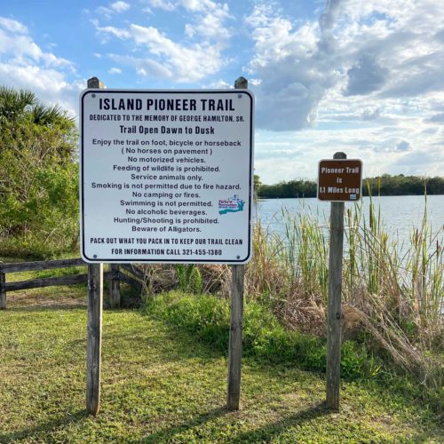
iof, imagineourflorida,
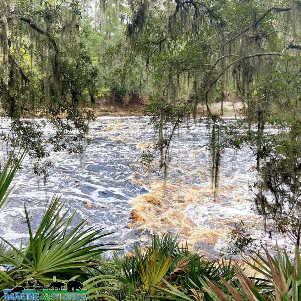
Read more

Big Shoals State Park

Big Shoals State Park boasts the only whitewater Class III rapids in Florida. Located In White Springs on S.E. County Road 135 in Hamilton County, this state park has a canoe and kayak launch on the shore of the blackwater Suwannee River. The upper portion of the river provides a year-round opportunity for paddlers. The water level which varies throughout the year determines if the shoals are safe to pass through. The Class III rapids occur when the Suwanne reaches 59-61 feet above mean sea level.
Apalachee and Timucuan lived in the Big Shoals where they used limestone from a quarry to make tools essential for survival. In the early 1800s, European settlers forced most Native Americans out of Big Shoals. Throughout the years, the area was home to a scrub cattle ranch, a black seed cotton farm, and was later used for logging and turpentining. Today, you can still see the scars on the bark of Longleaf pines from catstripping to reach the turpentine. Later the White Springs hotel and bathhouse were built for guests to take advantage of White Springs which was first cherished by Native Americans for their healing properties. The springs dried up in 1990.
Between 1986 and 1989, land including Big Shoals was purchased through a joint agreement between the state of Florida, the Suwannee River Water Management District, and the Florida Fish and Wildlife Conservation Commission. Today, Big Shoals State Park is part of the Great Florida Birding Trail.
Big Shoals State Park has 28 miles of trails waiting to be explored. Hike, bike, or horseback ride while discovering the wildlife and wild plants that thrive there. Trails include a mountain bike trail and the 3.4-mile-long Woodpecker Trail which is a multipurpose paved trail. Be sure to hike the mile-long shaded Big Shoals Trail. The trail will lead you through the forest to limestone bluffs 80 feet above the Suwannee River. Enjoy the breath-taking view of the Big Shoals as the Suwannee rushes over agatized corals and limestone.
Bring your camera and/or binoculars. Look for greenfly orchids and magnolia trees. Watch for Swallow-tailed kites, bald eagles, and hawks soaring overhead. Wood ducks, herons, egrets, and other wading birds visit or make their homes near the water. Listen for owls and a diverse assortment of songbirds.
Bring your dinner and enjoy it at the picnic pavilion. Pets on a 6-foot leash are welcome.
Be sure to stay until sunset to see hundreds of Mexican free-tailed bats fly out of the bat house.
Photo Credit: Bobby Putnam
Read more

Fort Drum Marsh Conservation Area

Fort Drum Marsh Conservation Area

As part of the Upper St. Johns River Basin Project, Fort Drum Marsh Conservation Area includes a freshwater marsh at southernmost headwaters of the St. Johns River, a hardwood swamp, pine flatwoods, and a prairie. Together, The U.S. Army Corps of Engineers and St. Johns River Water Management District have restored the original wetlands which resulted in better water quality, flood control, and diverse animal and plant habitats.

Family-friendly recreational activities include hiking on some or all of the 5 miles of trails, picnicking, horseback riding, bicycling, primitive camping at designated sites, wildlife viewing, and canoeing. Saunter through a hardwood swamp on a boardwalk shaded by Cedar Cypress Trees as you make your way to Hog Island where you will find more trails to explore.

Look for migratory birds, bald eagles, owls and other raptors, sandhill cranes, turkeys, wood storks, caracara, white-tailed deer, dragonflies, turtles, and alligators. Discover the vast number of wildflowers and the pollinators who rely on them.

Dogs are welcome provided they are leashed at all times. Fort Drum Marsh Conservation Area, located about 10 miles east of Yeehaw Junction, is fun for all and is waiting for you to create memories to last a lifetime! Plan your trip today!

For a trail guide and more information:
https://www.sjrwmd.com/lands/recreation/fort-drum-marsh/

Photo credit: Dan Kon, Aymee Laurain, Andy Waldo

Read more

Colt Creek State Park

Colt Creek State Park

Hike, bike, paddle, or horseback ride through 5000 acres of wild Florida.
Located in Lakeland, Colt Creek State Park is waiting to be explored.

Colt Creek State Park was purchased in 2006 and became Florida’s 160th state park. The land had previously been used as a cattle ranch, for silviculture, and for lime rock mining. A few of the large pits dug for lime rock mining reached the aquifer. Today, the water that flows up from the aquifer has created lakes that provide habitat for wildlife.

There are 15-miles of multi-use trails that lead you through wetlands, open vistas, and longleaf and slash pine forests. Discover an abundance of wildflowers and the pollinators who rely on them. Look for fox squirrels, turkeys, bobcats, otters, gopher tortoises, a variety of birds including eagles, and of course, alligators.

Rent a canoe or kayak or bring your own. Paddle Mac Lake, Middle Lake, or Little Lake as you share the water with wading birds and turtles.

Bring your horse and ride through creeks, and streams while admiring the beauty of the three lakes.

RV, tent, primitive, equestrian, and group camping sites are available. Star-gaze at one of the darkest sky sites in Florida. Pavillions are a perfect place to host your outdoor event.

Bring your lunch and cook it on one of the provided grills or simply enjoy it at one of the picnic tables. Dogs on a 6-foot leash are welcome. Be sure to bring your camera or binoculars since Colt Creek State Park is designated as a Great Florida Birding and Wildlife Trail.

Photo Credit: Andy Waldo
For more information: https://www.floridastateparks.org/par…/colt-creek-state-park

Read more

Lake Louisa State Park

Lake Louisa State Park

If you are looking for somewhere to get some fresh air and see some of Florida’s natural beauty, then this is the place to go! Just north of Orlando, off Highway 27 in Clermont, is Lake Louisa State Park. It is open every day of the year until sundown. Lake Louisa State Park lies in the Green Swamp and within the northern boundary of Lake Wales Ridge. The wetlands create natural flood control while supplying the aquifer with filtered water. The Hillsborough, Withlacoochee, Peace, and Ocklawaha Rivers all originate from The Green Swamp.

Camping, hiking, biking, canoeing, kayaking, paddle boarding, and horseback riding are activities waiting to be enjoyed. Guided horseback and kayak tours are great ways to see the park. It is a good idea to bring water and snacks or pack a picnic. Lake Louisa State Park features three major lakes, several smaller lakes, 20 miles of trails, and 7 miles of paved roads.

The park offers trails ranging from a half a mile to 5.5 miles where you can explore 11 different ecosystems. Dudes Loop at 0.5 miles and Compton’s Loop at 1 mile are the shortest trails. South Trail is 1.2 miles and Sandhill Loop is 1.5 miles. The mid-level trails are Big Creek Loop and Bear Lake Loop at 2 miles long, and South Loop at 2.5 miles. The more challenging trails are the Nature Trail at 3.5 miles and Bronson Loop at 5.5 miles. Be sure to get a map at the Ranger Station. The Rangers are very helpful and knowledgeable about the park.

Compton’s Loop Trail has some geological formations of limestone and red clay swirling together to make very pretty colors in the rock. The rock has eroded over time, forming a tiny cliff. The trail leads you through the trees and sable palms up to a hill with tall pine trees and a view of the rolling hills. Make sure to check out the very scenic Lake Louisa Beach that has a long boardwalk with a swampy marsh underneath. Mangrove trees growing out of the water keep the boardwalk nicely shaded. The boardwalk leads you to a sandy swimming area with a playground and picnic table. Bear Lake is a great scenic spot that offers boating access for your handheld watercraft. Bear Lake Loop and Bronson Loop circle the lake and are wonderful trails to immerse yourself in nature and for wildlife viewing.

Look for bobcats, white-tailed deer, tortoises, fox squirrels, and rabbits. Near the lakes, you may see alligators, snakes, and otters. The ranger is happy to give guides to identify some of the snakes who are native to the area, as well as a guide for identifying tracks along the trails. There is so much to #explore and #discover at Lake Louisa State Park for any level adventurer!

For more information and trail map: https://www.floridastateparks.org/pa…/lake-louisa-state-park

Written by Briana Gunnell ~ Valencia student and IOF volunteer
Photo Credit: Briana Gunnell

Read more

Econ River Wilderness Area

Econ River Wilderness Area
Purchased by Seminole County in 1994, the 240-acre Econ River Wilderness Area is located south of Oviedo on the west side of the Econlockhatchee River.

Explore 3 miles of trails including the 2.2-mile Main Loop Trail and the 1/2-mile Flatwoods Loop Trail. Saunter through pine flatwoods, sandhill, oak hammocks, and river swamp habitats. Rest on one of the benches at the river.

Discover gopher tortoises, great horned owls, northern bobwhites, golden mice,
raccoons, fox squirrels, white-tailed deer, bobcats, river otters, and more who make their homes in the wilderness area.

Put on your hiking shoes, bring your horse or bike, your dog on a leash, and enjoy your day in the wilderness from sunrise to sunset. Join the nearly 40,000 people who visit the Econ River Wilderness Area each year. Don’t forget your camera.

For more information: http://www.seminolecountyfl.gov/…/Econ-River-Wilderness-Are…
Photo Credit – David Gale

Read more

Lower Wekiva River Preserve State Park

Immerse yourself in Nature along the Wekiva River and Blackwater Creek at Lower Wekiva River Preserve State Park. Located in Sanford, Seminole County, the wetlands and blackwater streams are home to sandhill cranes, wood storks, river otters, turtles, fish, alligators, and Florida black bears.
Stroll along the Sand Hill Nature Trail. Interpretive signs guide you as you admire the beauty of the native plants and enjoy the antics of the wildlife. Lower Wekiva River Preserve State Park is a wonderful outdoor space to bike, jog, or walk. Be sure to stop along the way for some birding.
Paddle through the park on the Wekiva River, which has been designated a National Wild and Scenic River. Launch your paddleboard, canoe, or kayak at Katie’s Landing, where you will find picnic tables, grills, and restrooms.
Equestrians appreciate the 26 miles of multi-use trails at Fechtel Tract, where they can ride through rainy-season creeks and streams, hydric hammocks, and open pastures. Water troughs, stalls, a coral and a mountain block is available for your horse. Stay the day, or spend a night or more at one of the primitive campsites. Grills and picnic tables are also available for you. Be sure to carry proof of a negative Coggins test.
Pets on a six-foot handheld leash are welcome, with the exception of primitive camping areas.
Photo Credit: Andy Waldo
Read more

Withlacoochee State Forest

Withlacoochee State Forest has been named one of the “10 Coolest Places You’ve Never Been in North America” by the World Wildlife Fund. Managed by the Florida Forest Service, the Withlacoochee State Forest is located on U.S. Highway 41 approximately seven miles north of the town of Brooksville and 50 miles north of Tampa and is a nature lovers paradise.

Hike, bike, or horseback ride on miles of trails, or simply drive through the forest. Paddle the winding Withlacoochee River, Little Withlacoochee River, and Jumper Creek, all of which have been recognized as Outstanding Florida Waters.

Notice the variety of trees at Withlacoochee State Forest. Discover southern magnolias, oaks, maples, gums, slash pine, longleaf pine, pond cypress, bald cypress, and hickory. Blooming blazing stars, goldenrod, thistle, and more will greet you along the way.

Withlacoochee State Forest is teeming with wildlife. The forest is part of The Great Florida Birding and Wildlife Trail and is designated a Florida Scenic Trail. Listen and look for fox squirrels, white-tailed deer, gopher tortoises, rabbits, gray squirrels, wild turkeys, sandhill cranes, hawks, bald eagles, and owls.

Croom Motorcycle Area provides 2,600 acres of off-road facilities for motorcycle and ATV enthusiasts.

For those who want to take their time and explore all of Withlacoochee State Forest campgrounds are available. There are several primitive campgrounds for those who want a more rustic experience. The Tillis Hill Day Use Area is a perfect place for larger gatherings. A pavilion, commercial-sized grill/smoker, and dining hall are available for cooking and feeding your guests. There are 3 pavilions and numerous picnic tables waiting for you to enjoy your picnic at McKethan Lake.

Leashed pets are allowed in some areas. Be sure to stop at the Withlacoochee State Forest Visitor Center for maps, current conditions, and more.

For more information: https://www.fdacs.gov/…/State-Fo…/Withlacoochee-State-Forest

Photo Credit: Aymee Laurain

Read more

Old Fort King Trail

Old King Fort Trail is an out-and-back trail and is about 10 miles long. It begins at John B. Sargeant Park in Thonotosassa and ends in Hillsborough River State Park. The first part of the trail is approximately 2 miles long and is paved. Once the trail crosses US 301, it becomes an unimproved path with some rough terrain. In some places, it may be muddy or even flooded after heavy rains.

Whether walking, running, hiking, biking, horseback riding, or walking your dogs on a leash, you are sure to be greeted by plenty of beautiful wildflowers along the trail. Take some pictures on the wooden bridge. Keep your eyes open for wildlife who cross your path and spend some time birdwatching.

Photo Credit: Aymee Laurain

Read more