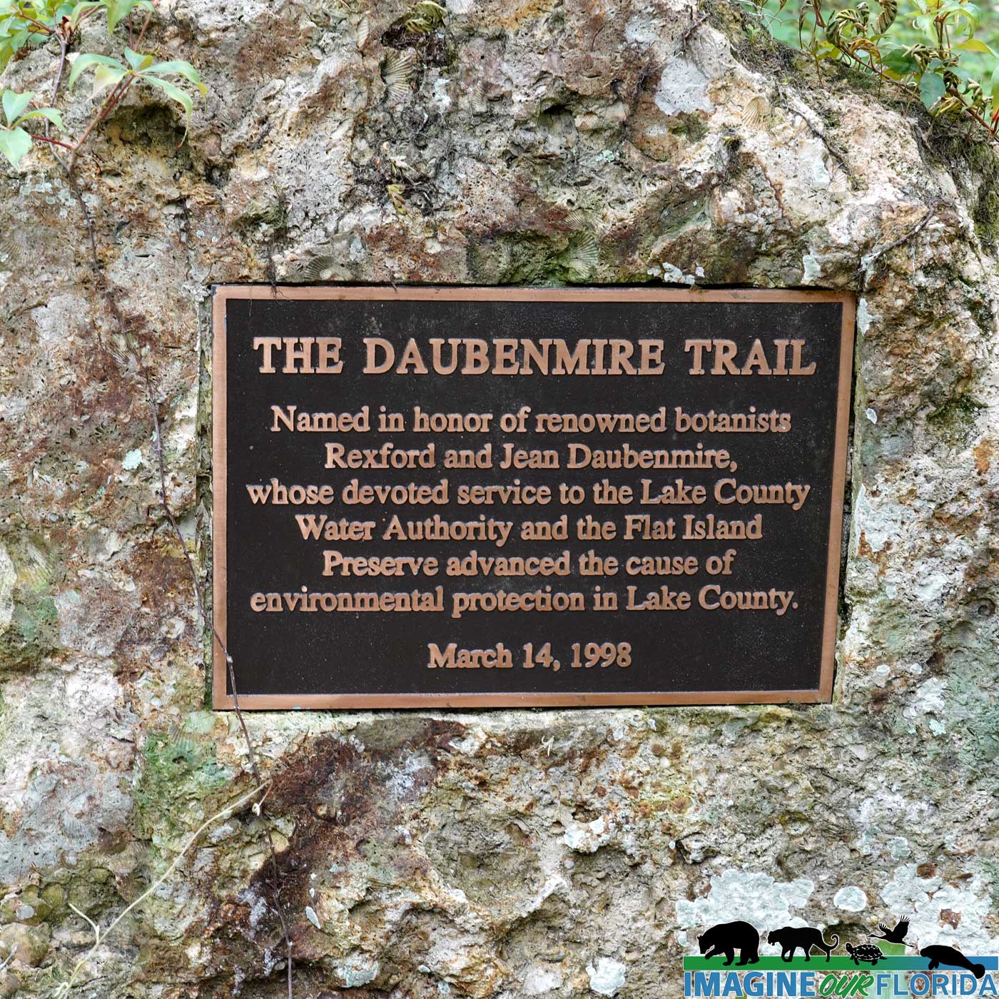
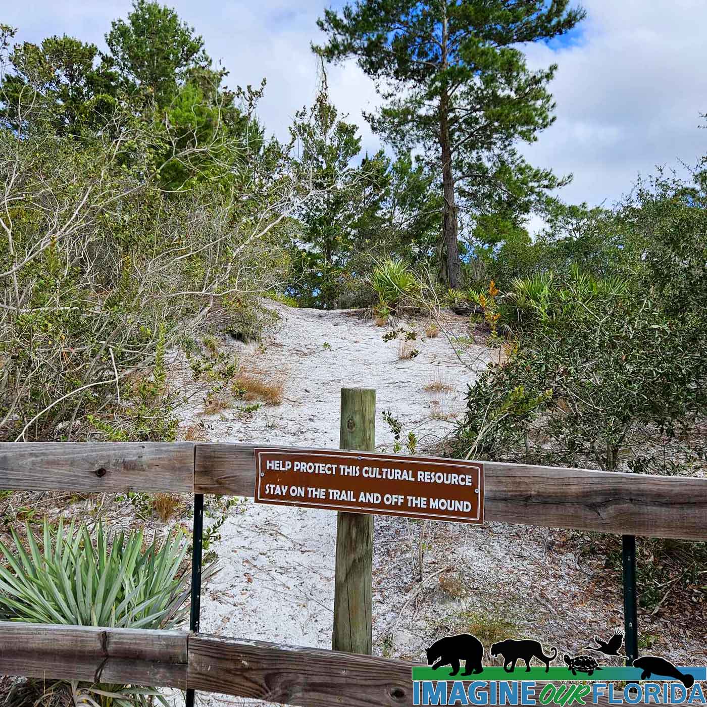
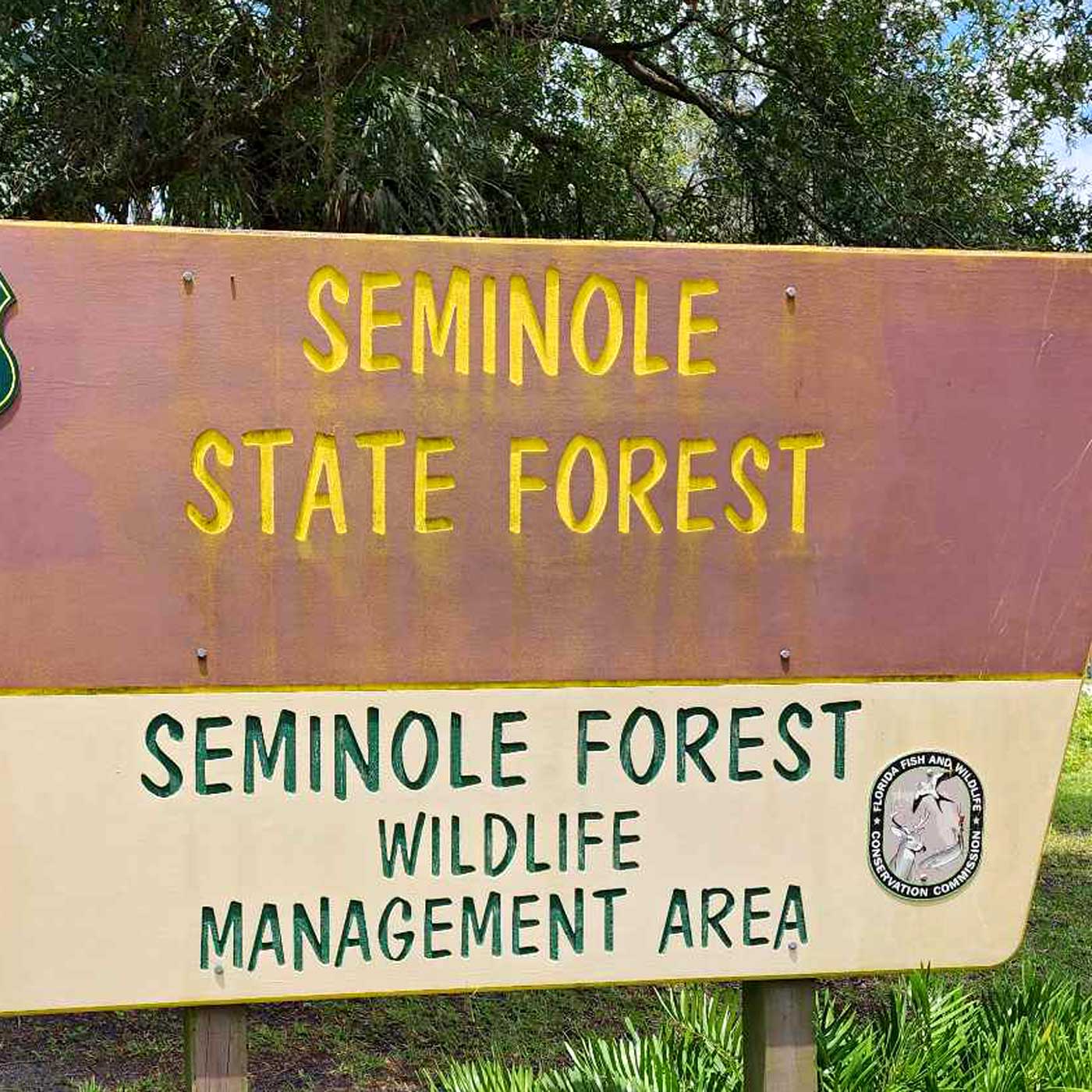
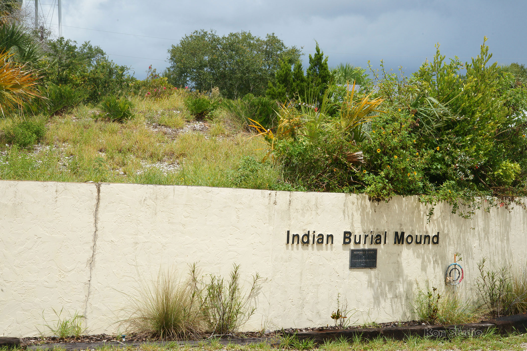
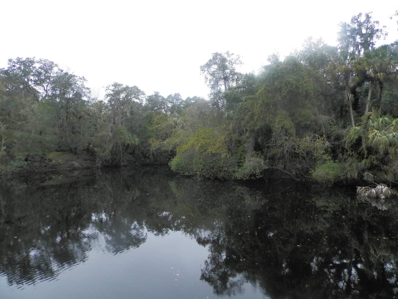
Located in Geneva in eastern Seminole County, the Little Big Econ State Forest gets its name from both the Econlockhatchee River and the Little Econlockhatchee River. Econlockhatchee means “earth-mound stream” in the Muskogee language and was named by the native Americans for the numerous mounds found along the river.
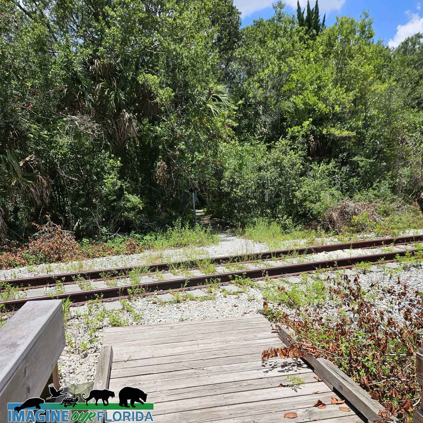
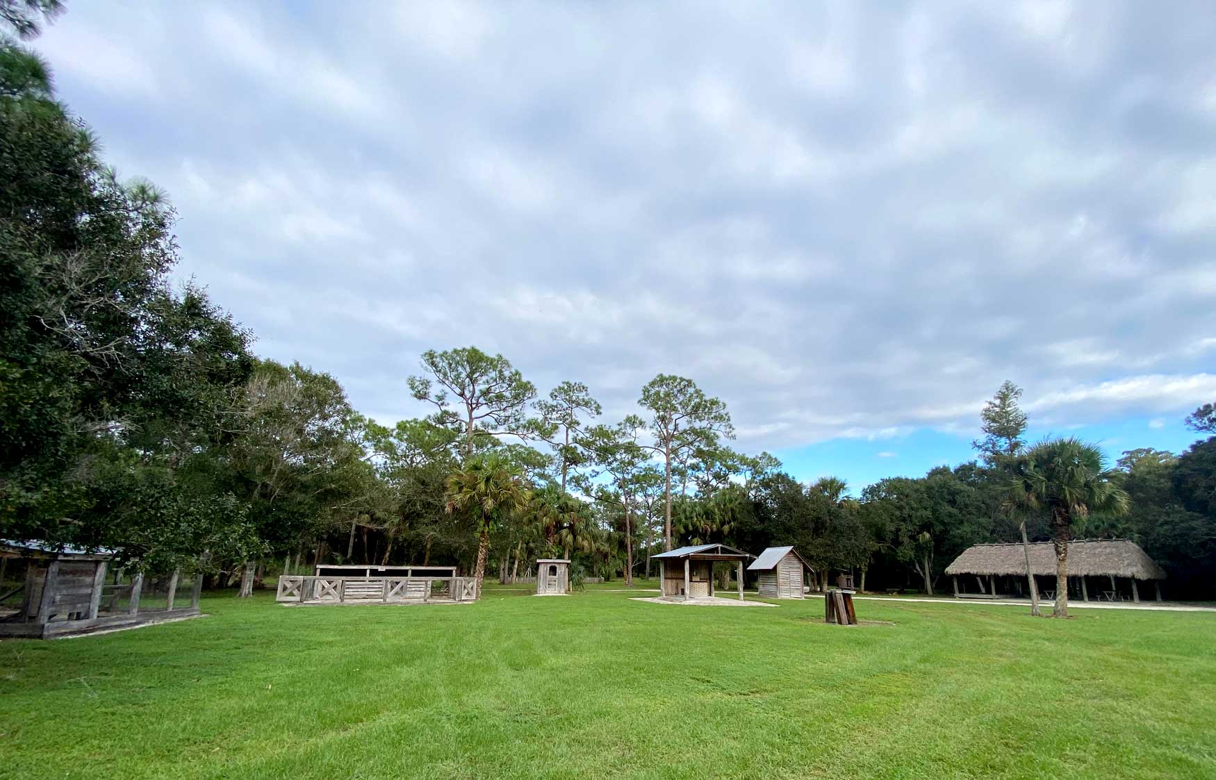
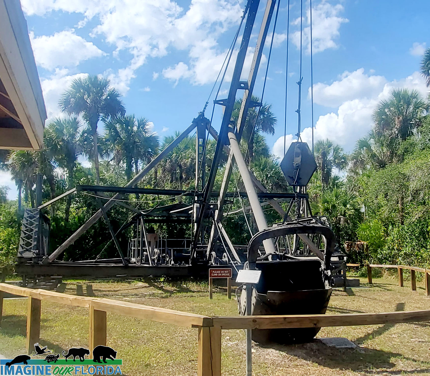
Before being established on March 24, 1994, by the Florida Legislature, the property was used for cattle ranching, crops, as a turpentine distillery, and for a portion of the Florida East Coast Railway. Today the 10,336 acres in the Little Big Econ State Forest is an outdoor enthusiast’s paradise.
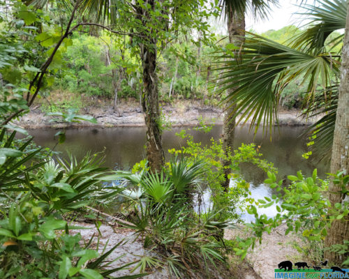
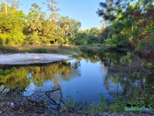
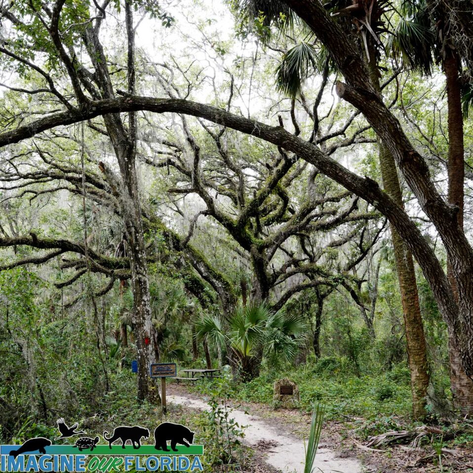
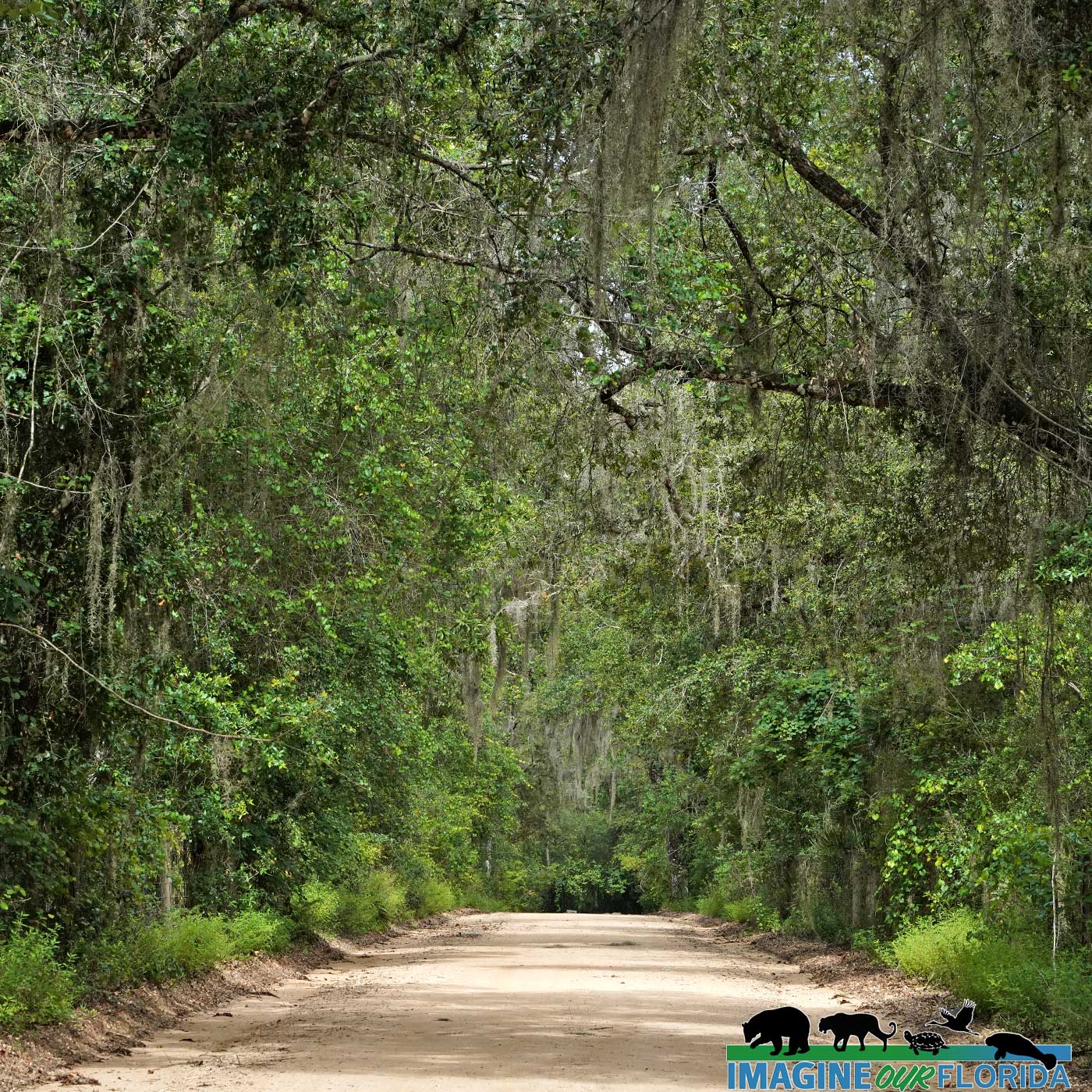
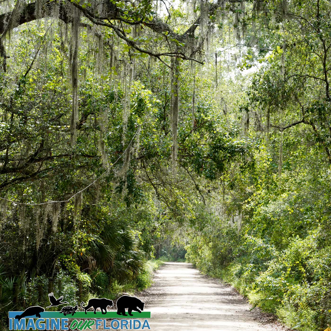
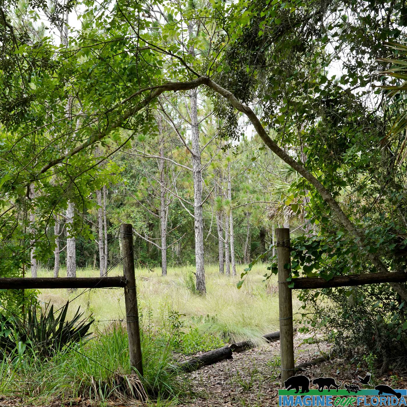
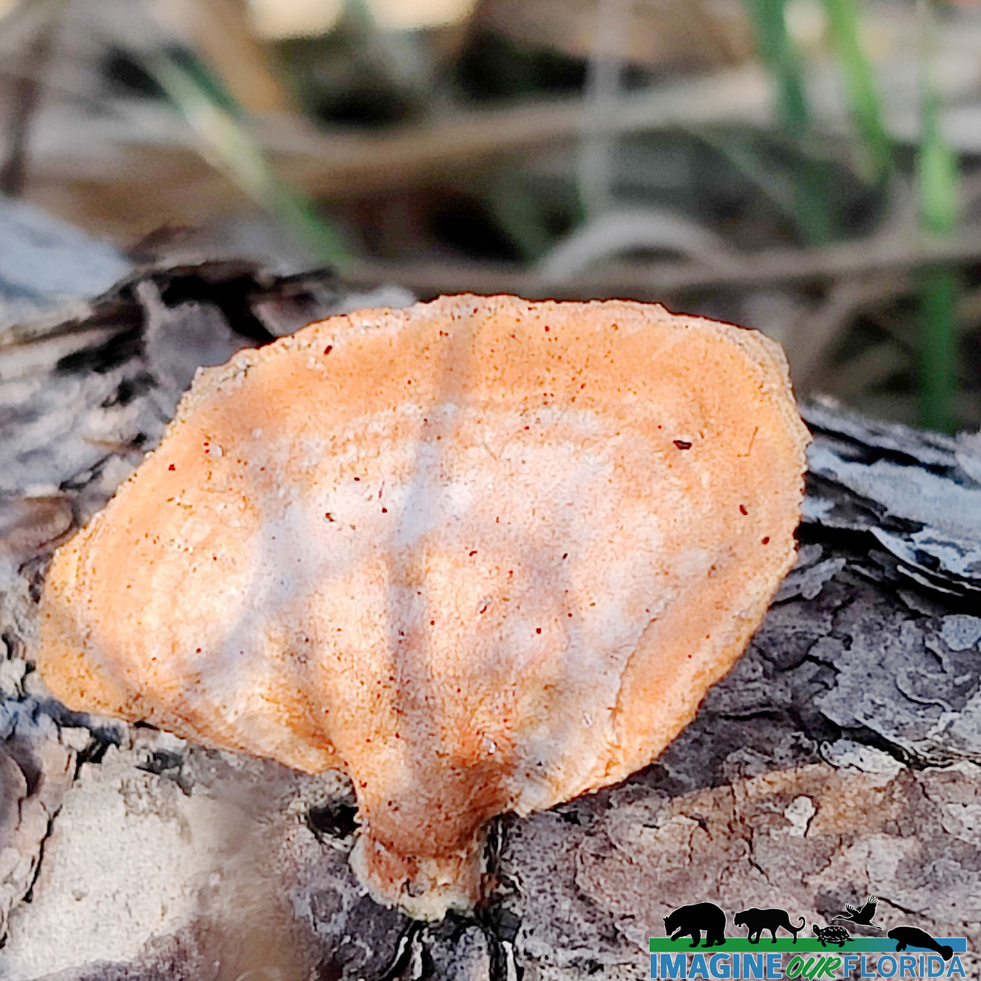
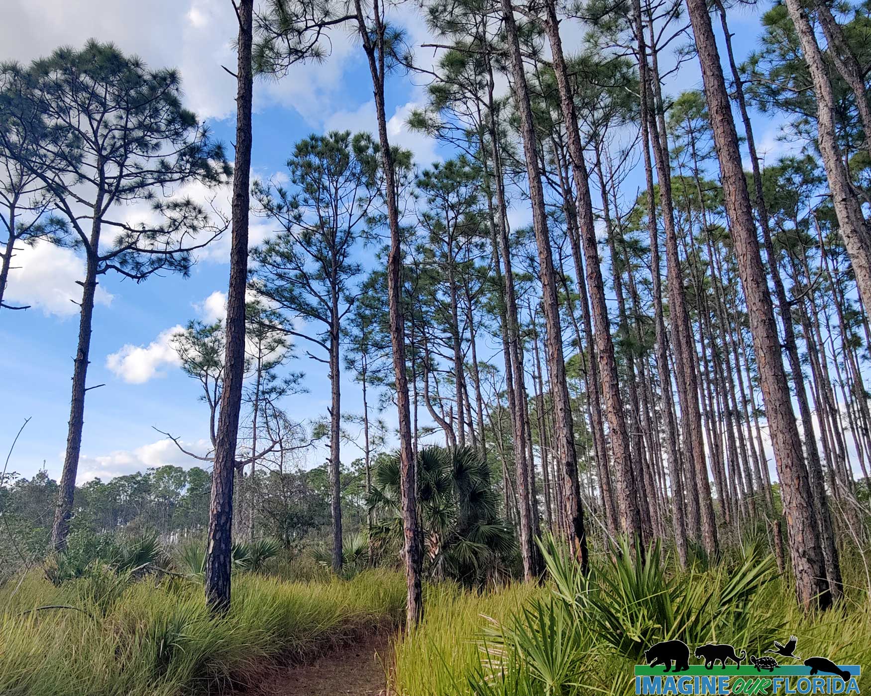
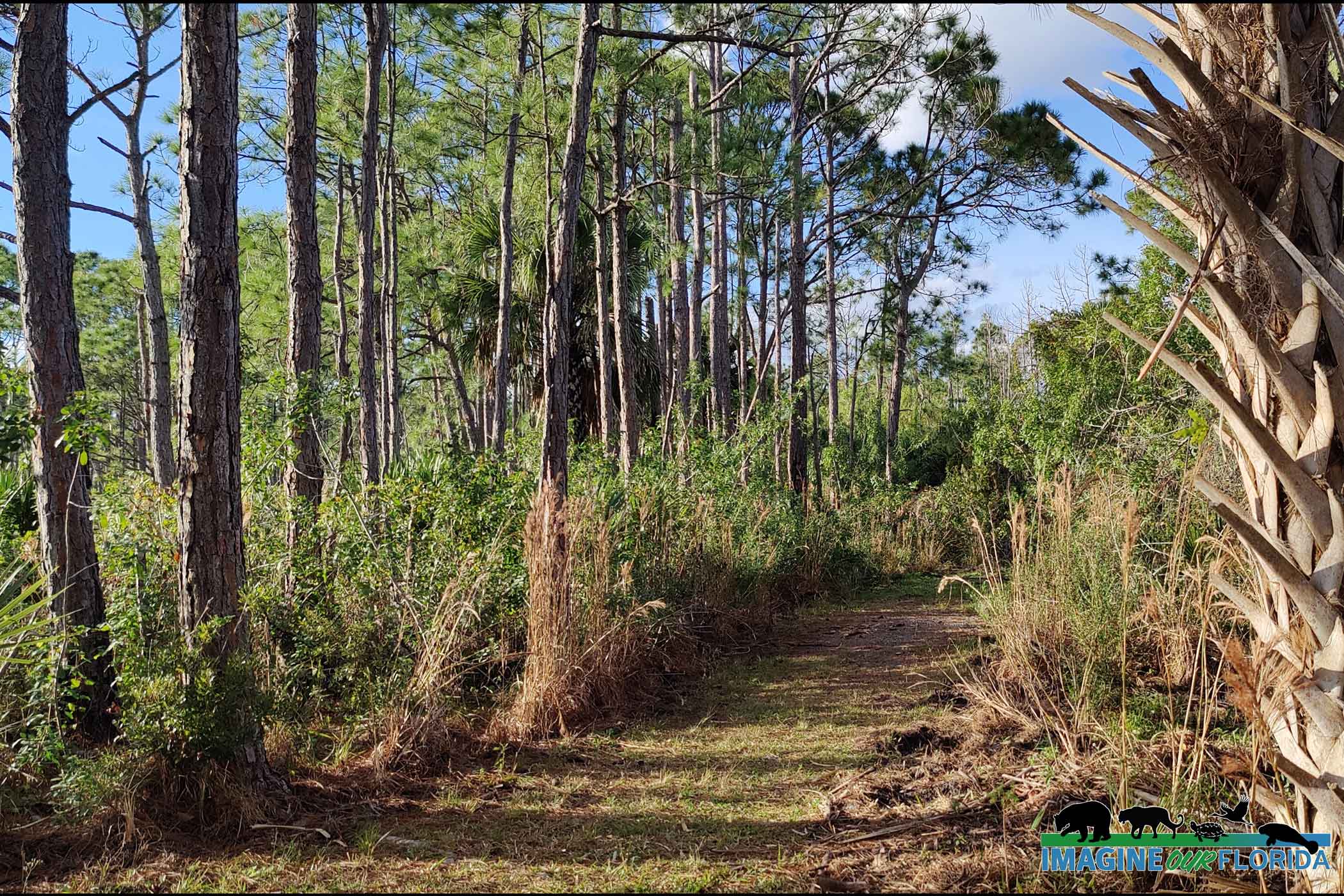
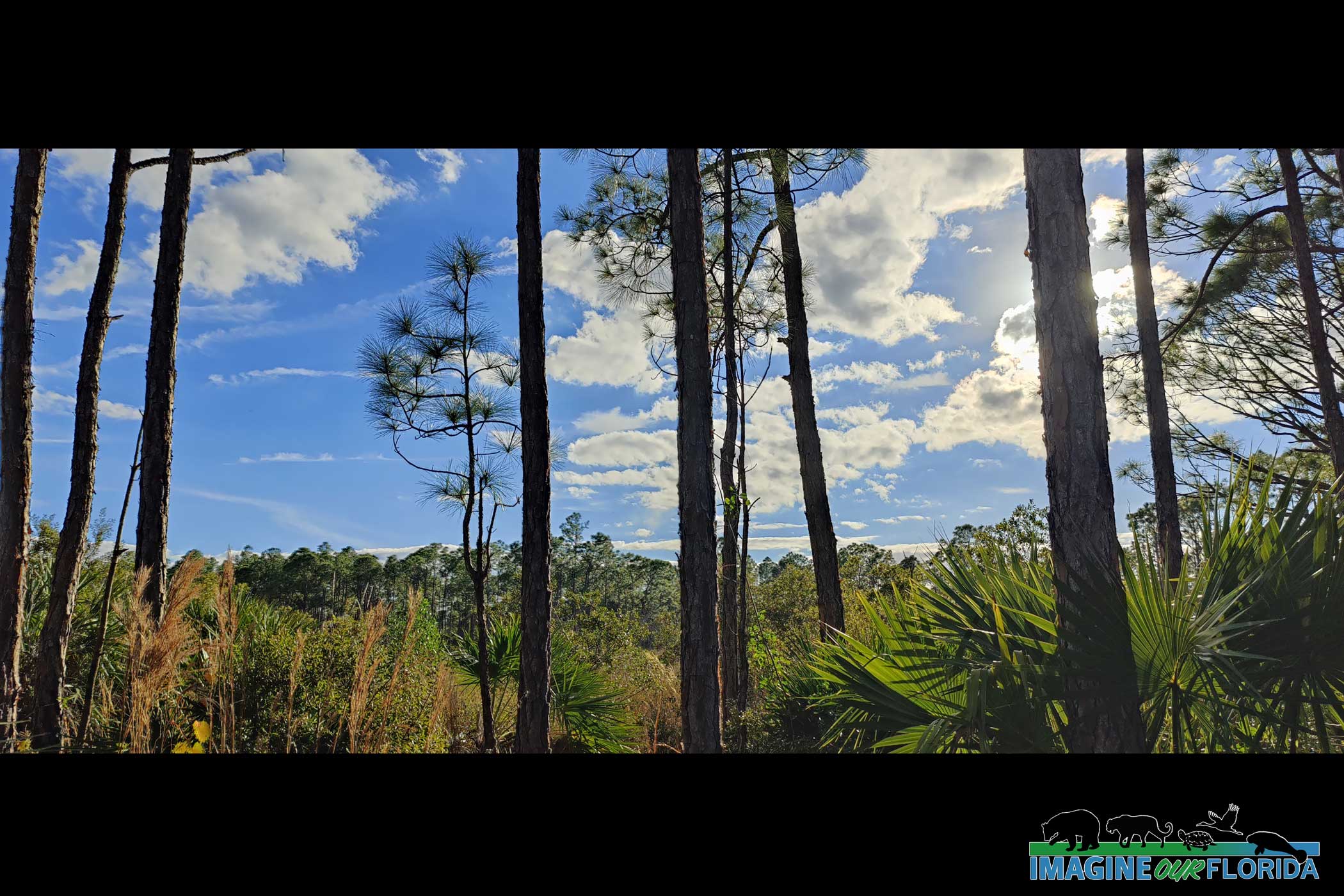
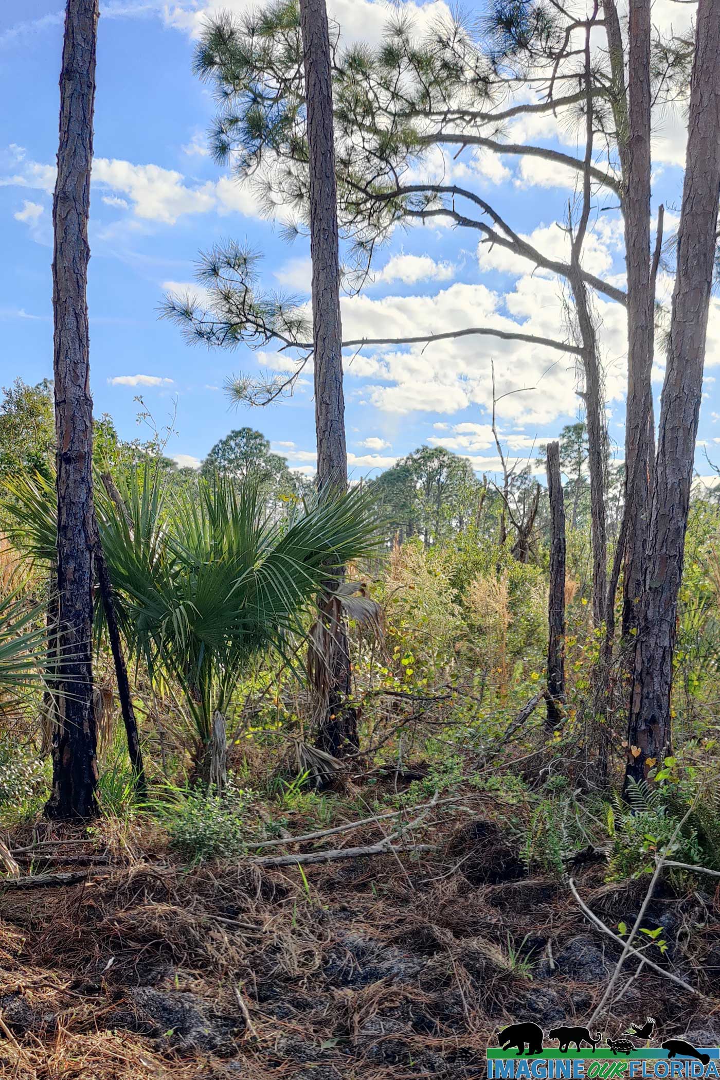
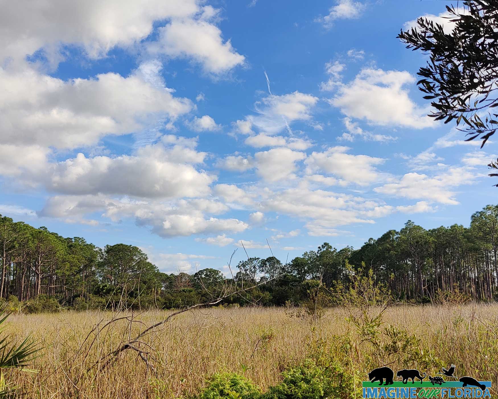
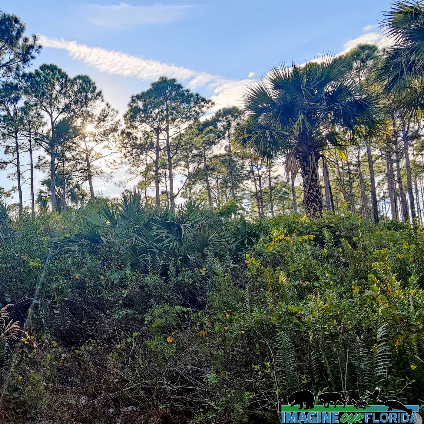
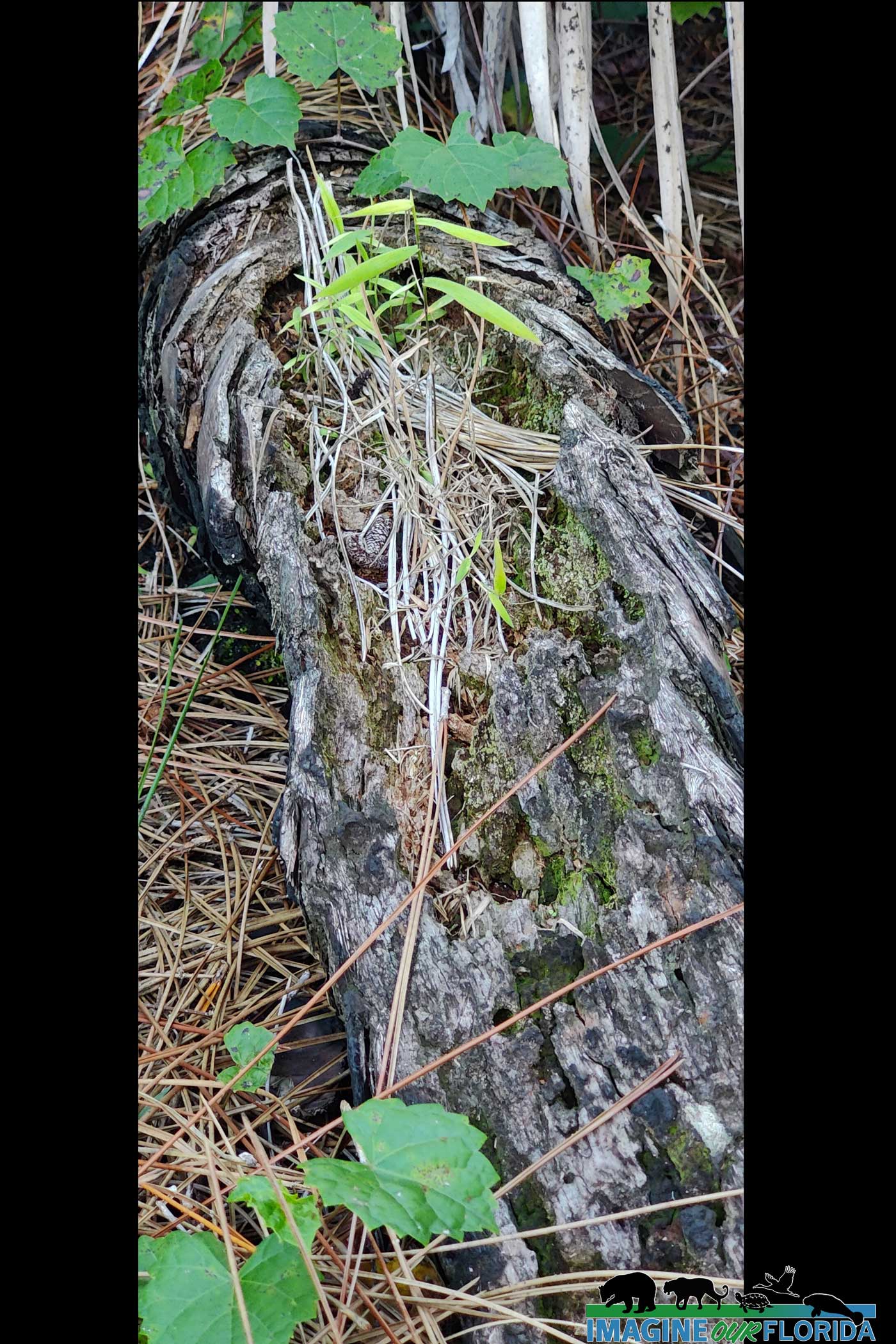
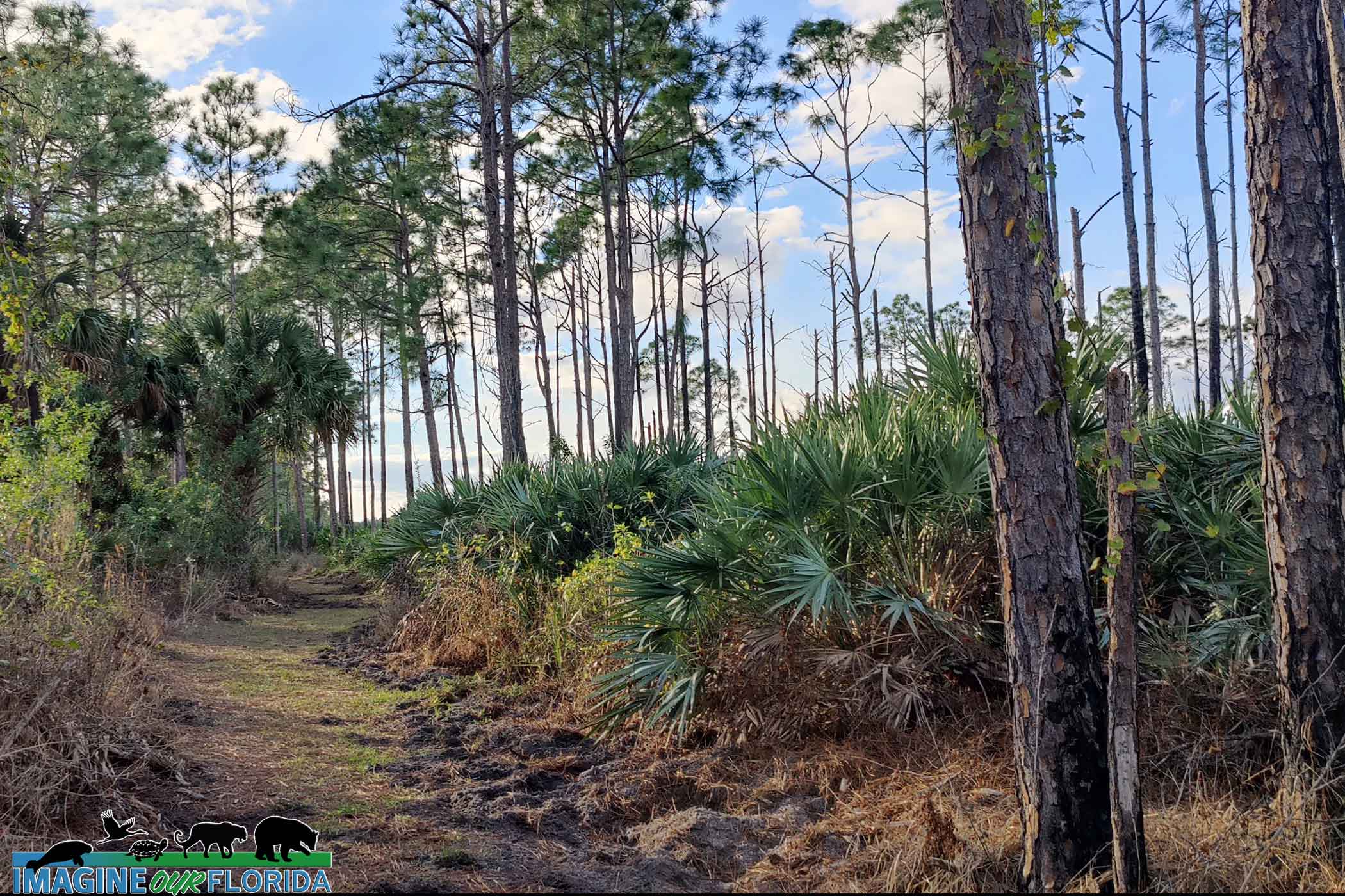
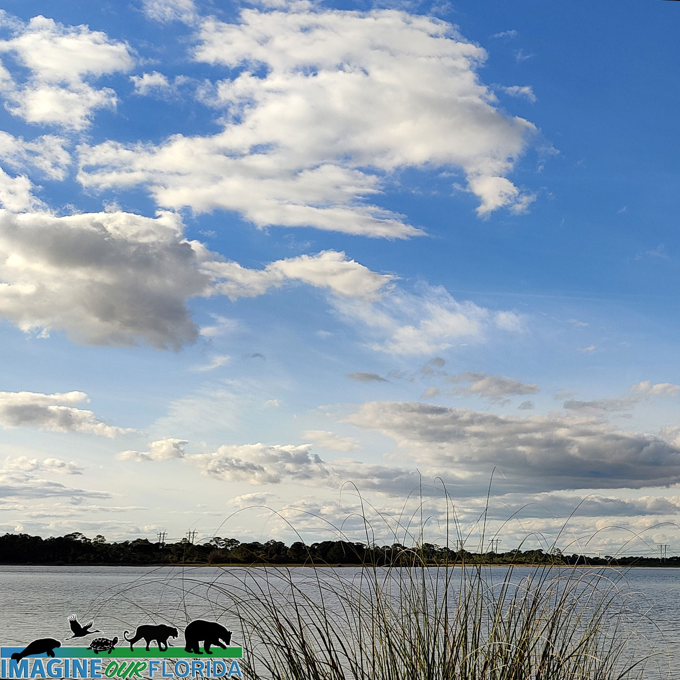
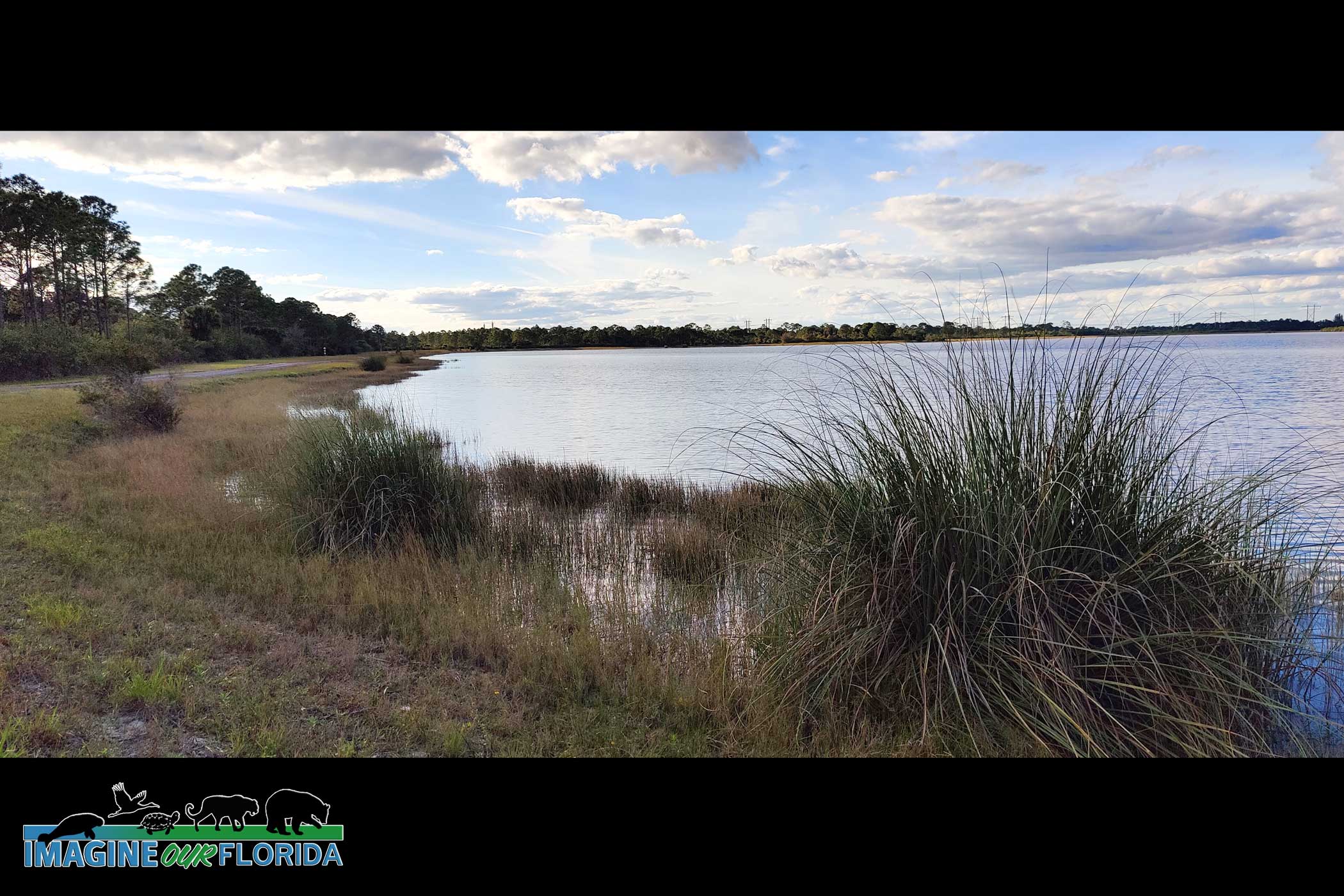
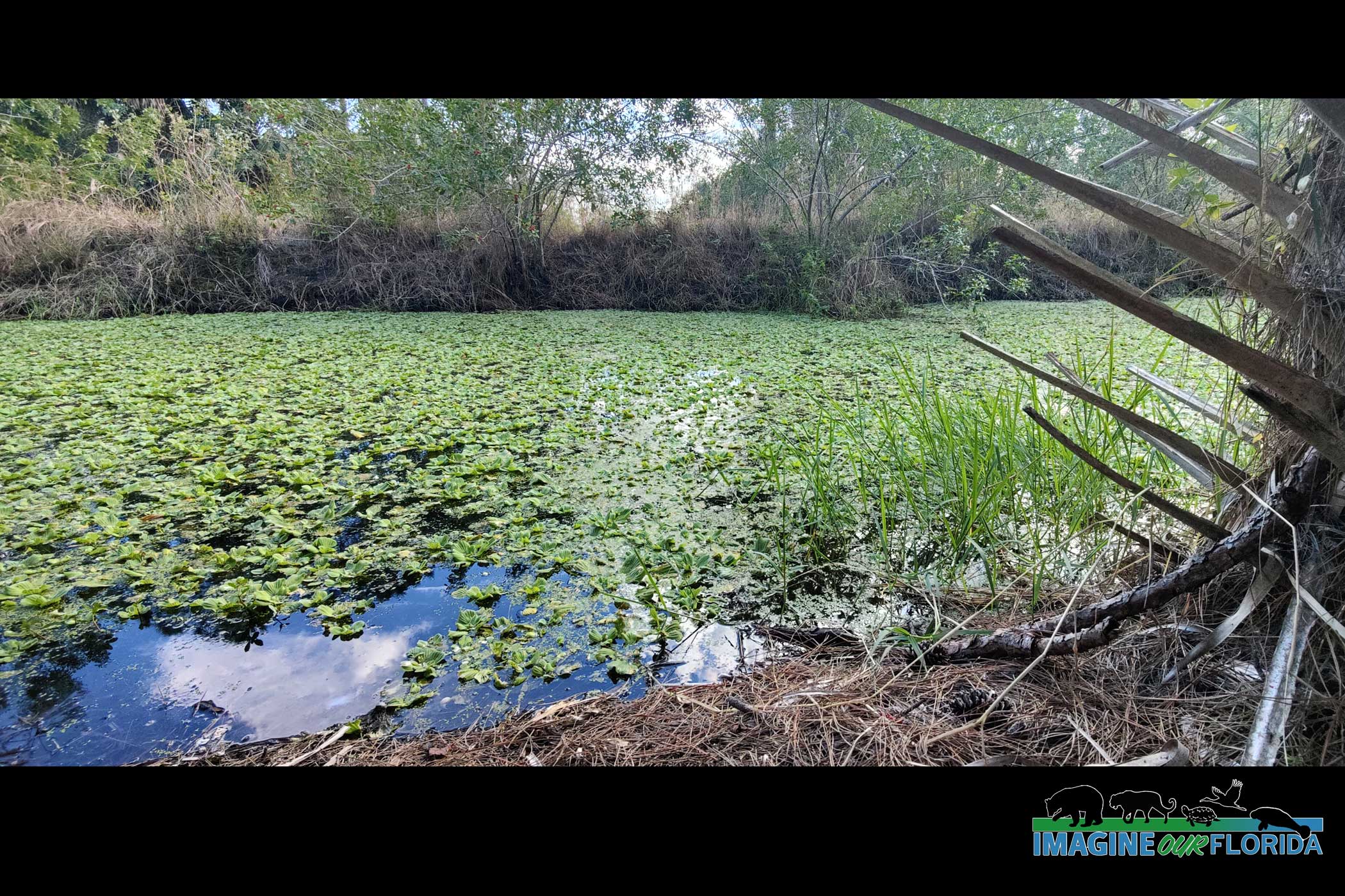
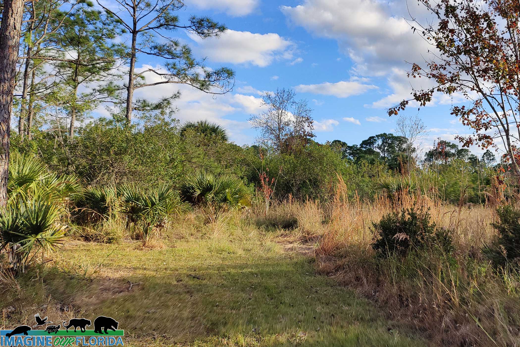
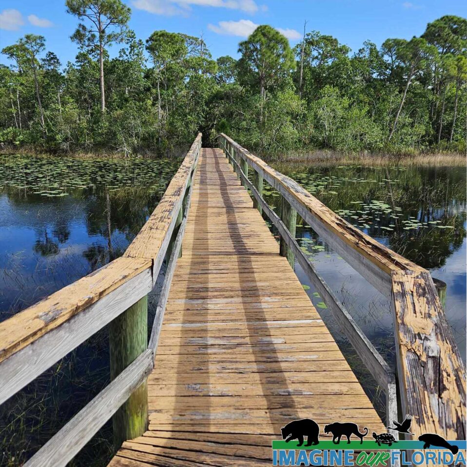
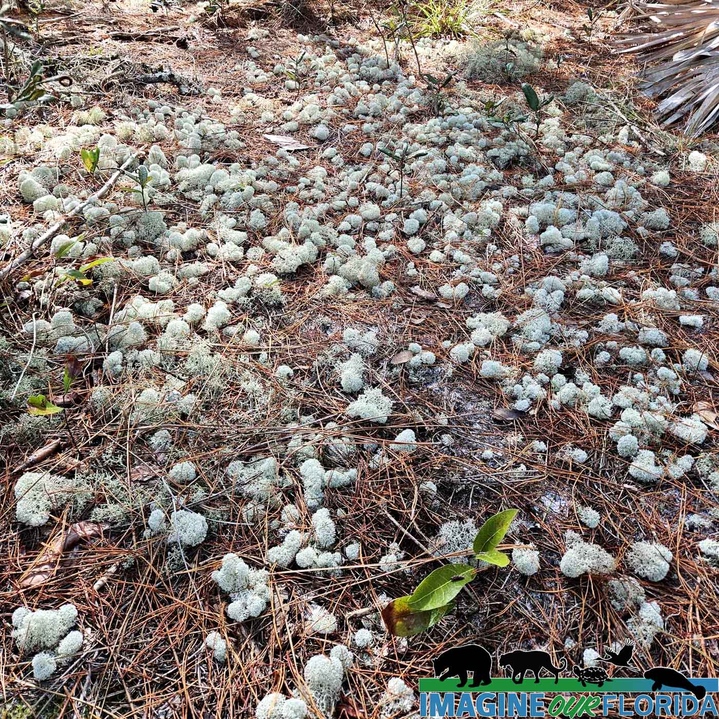
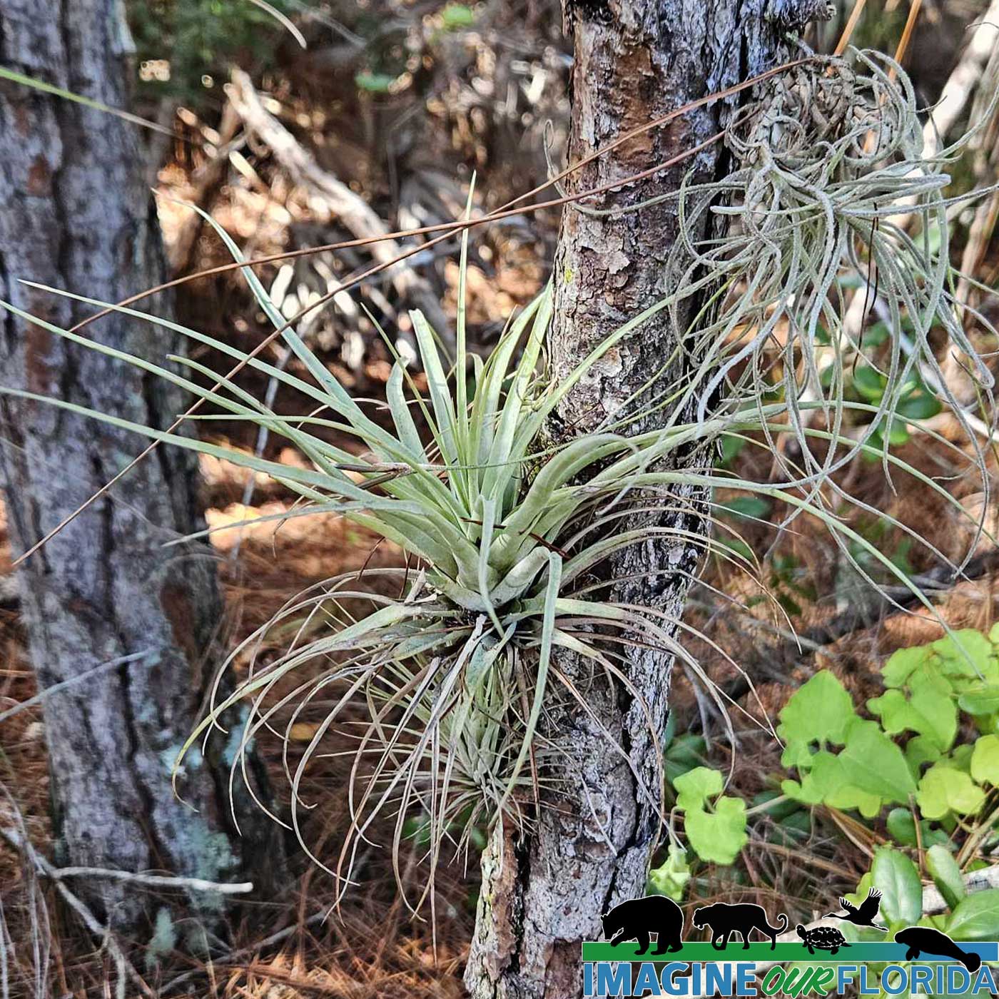
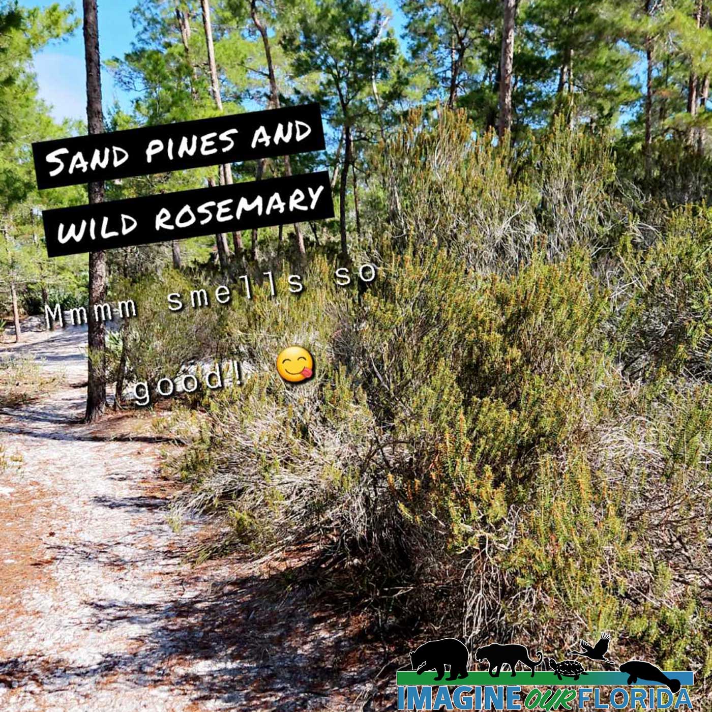
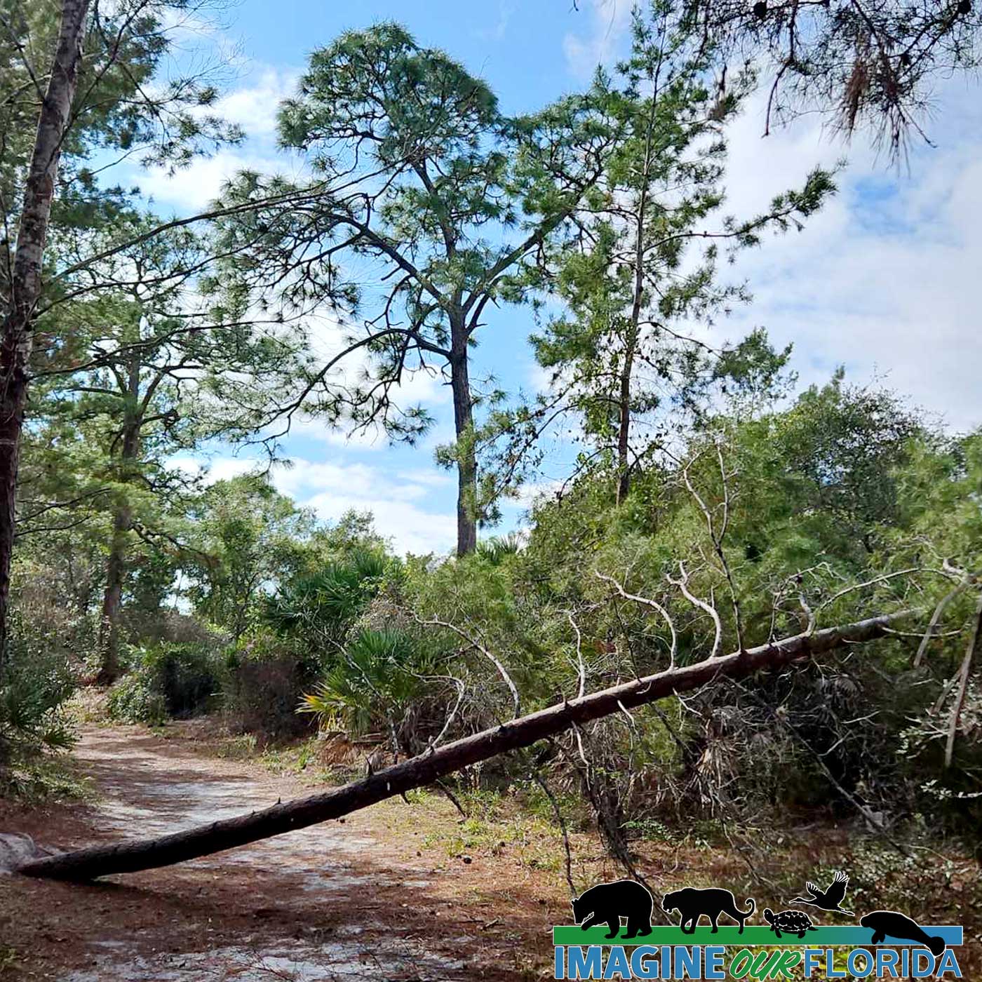
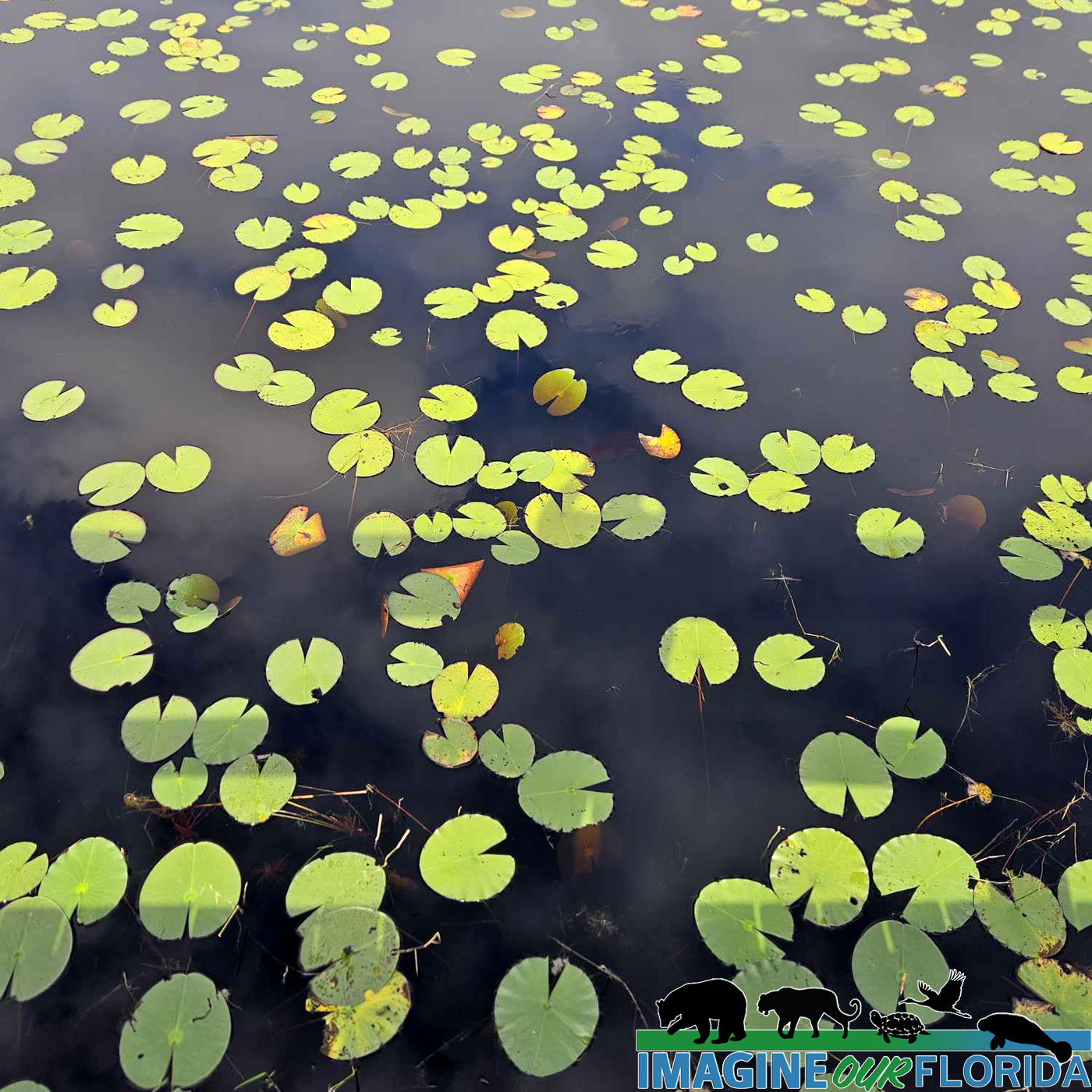
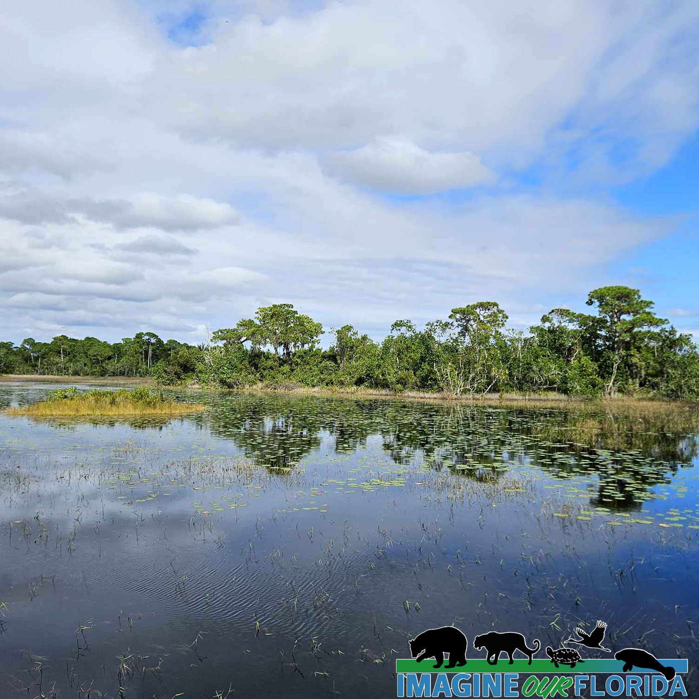
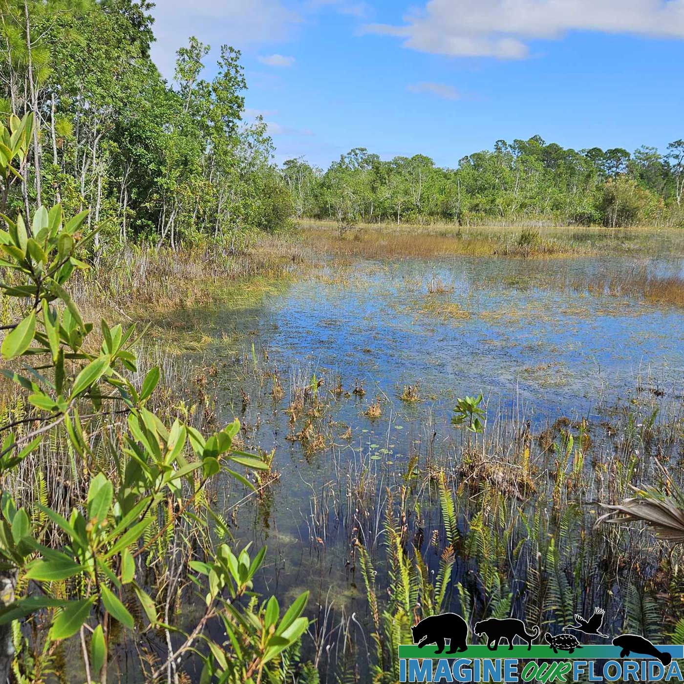
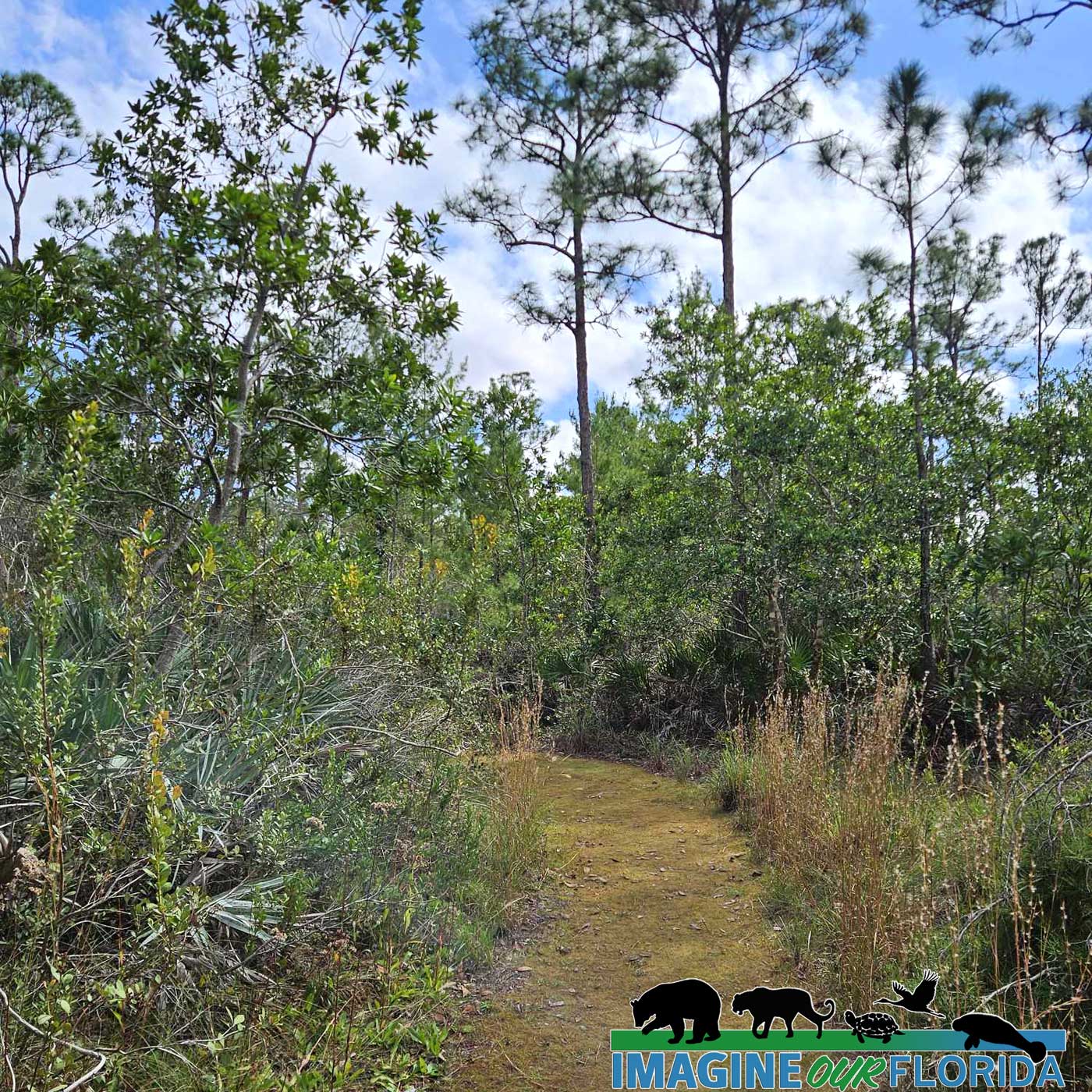
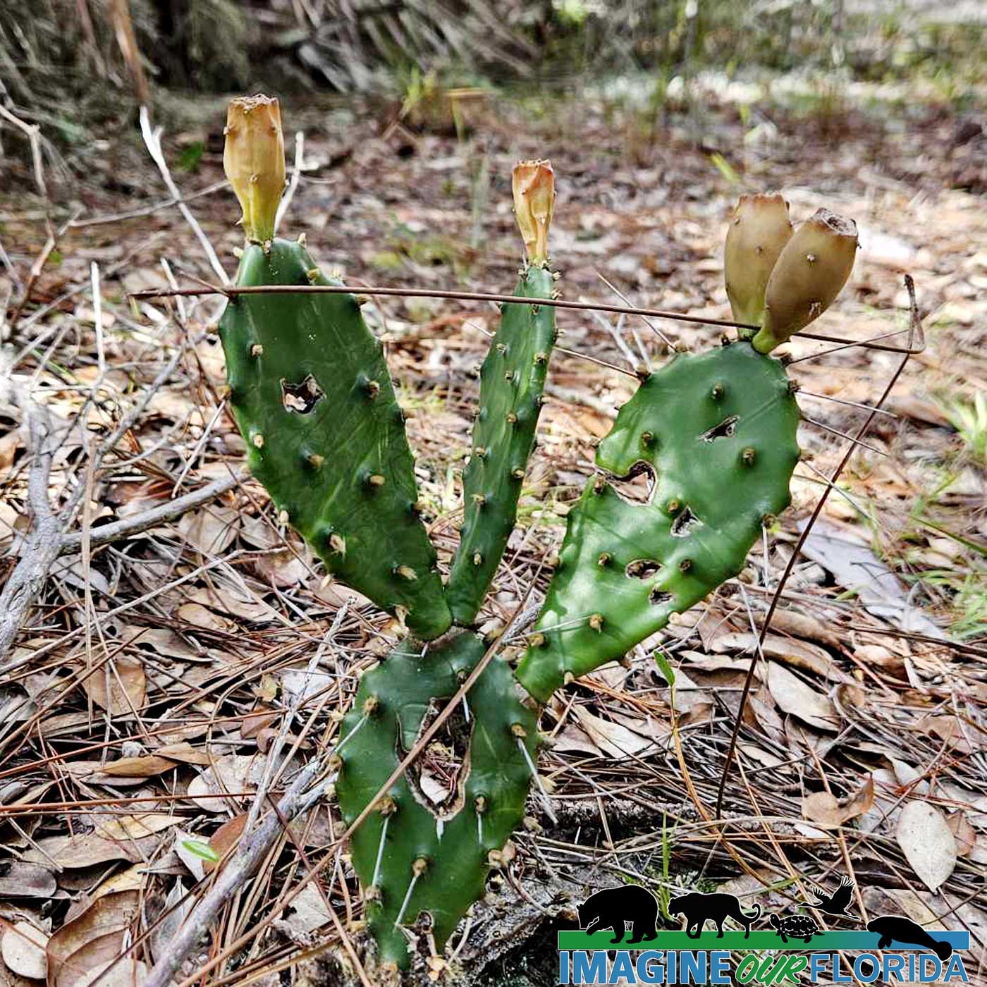
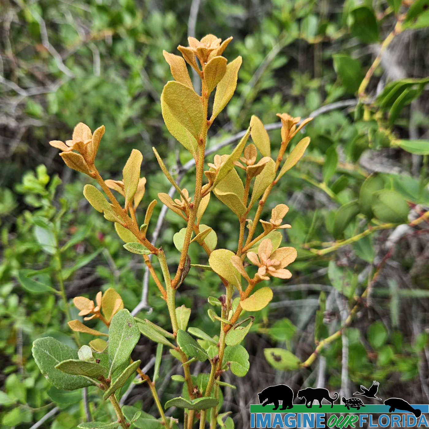
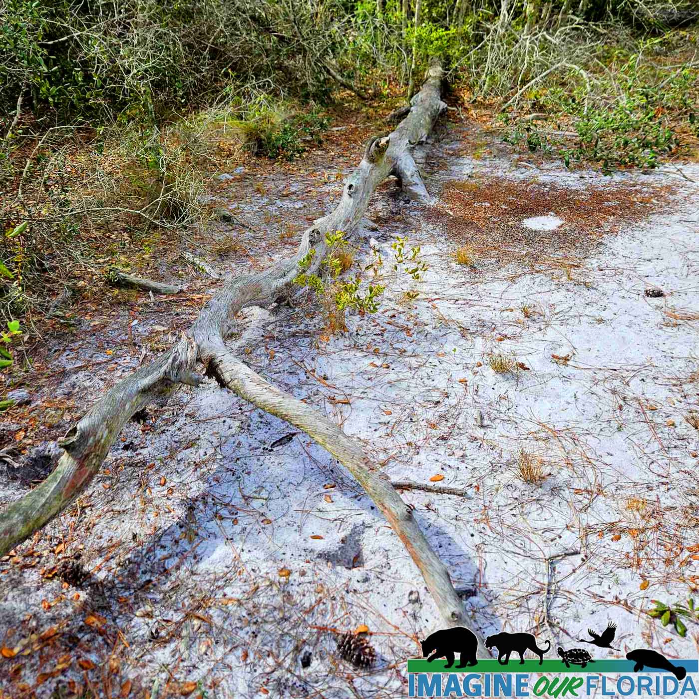
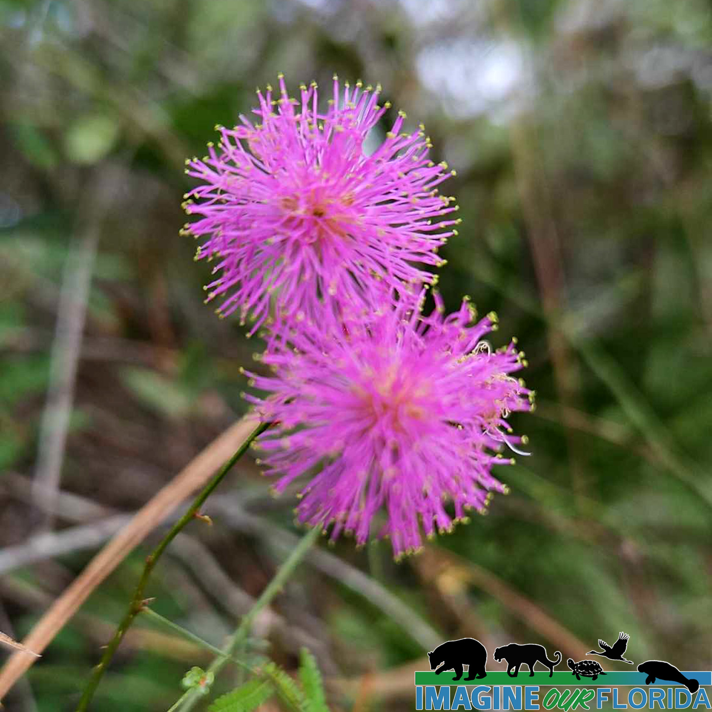
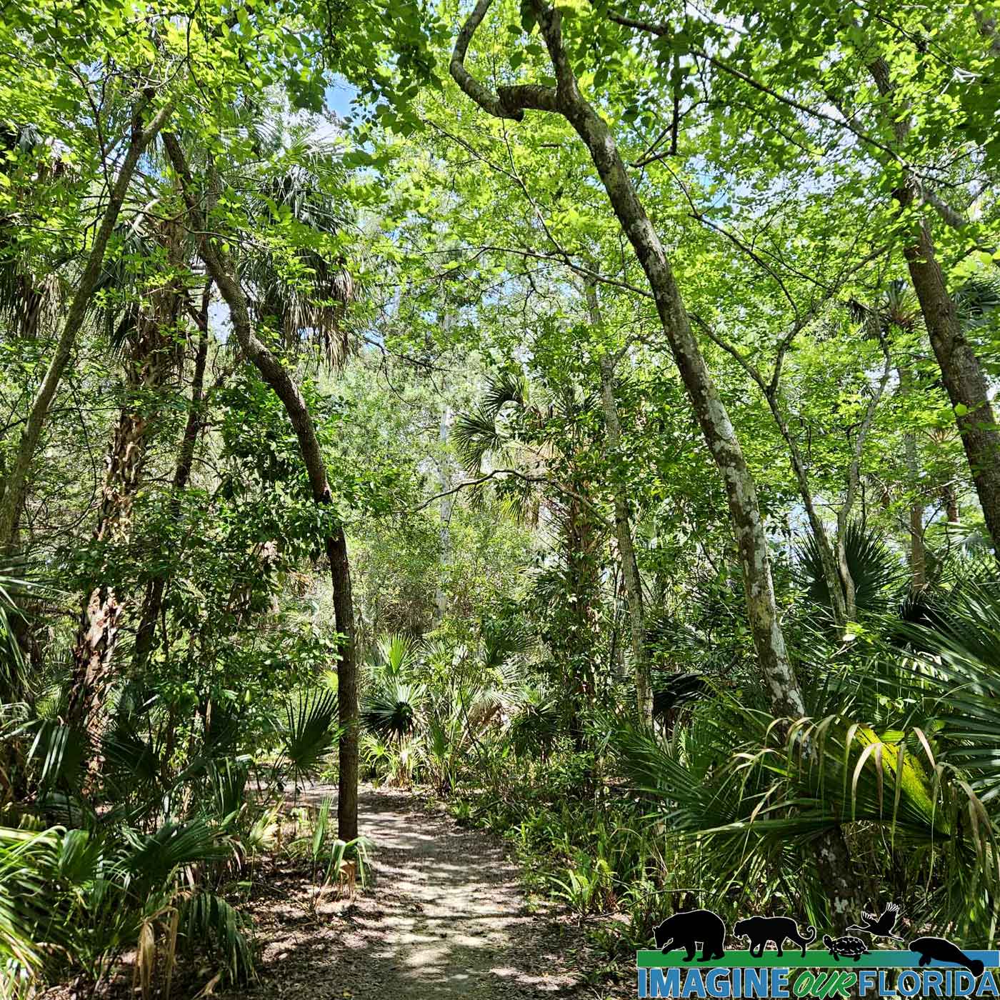
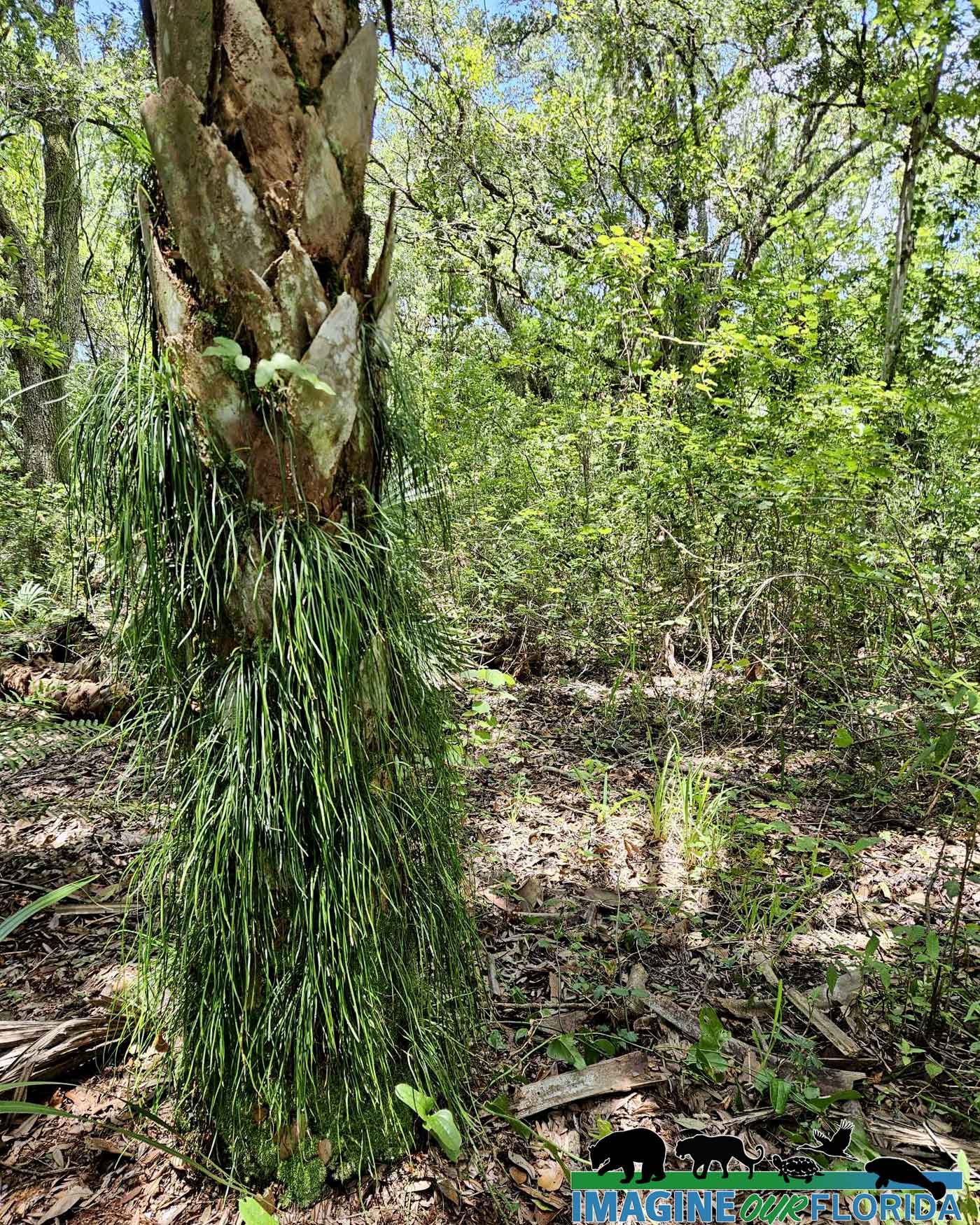
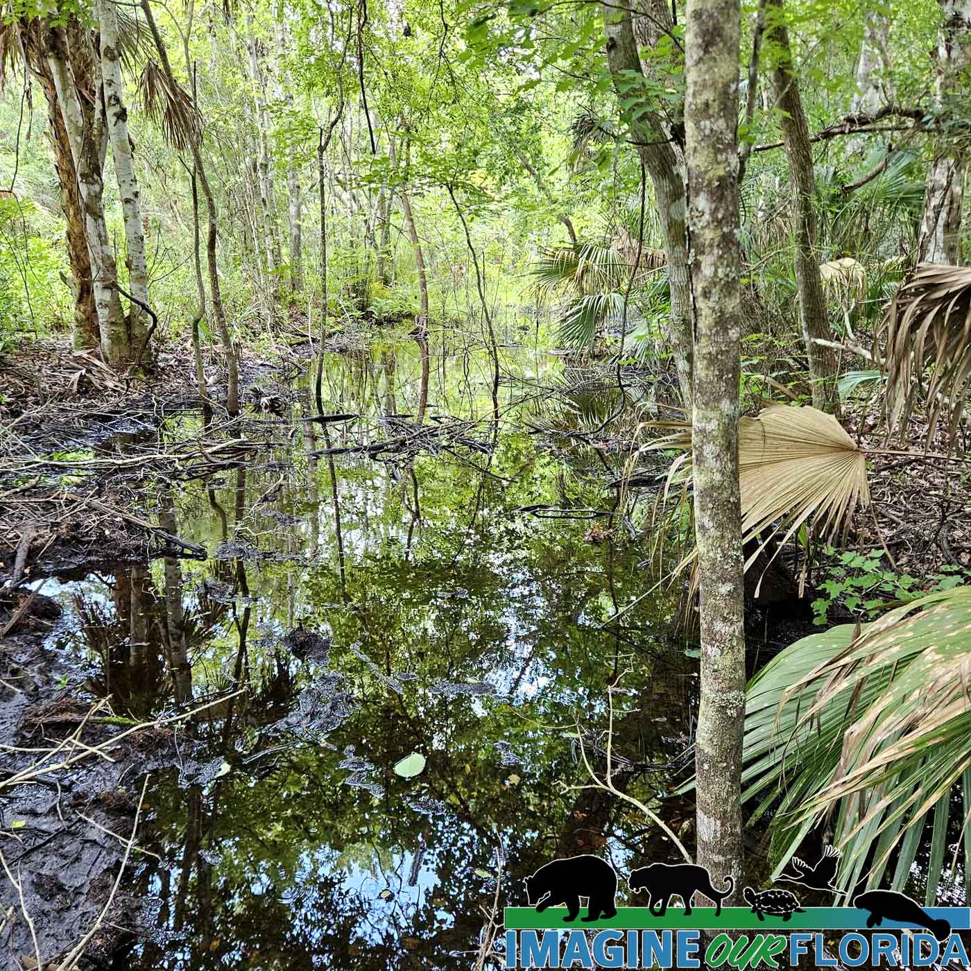
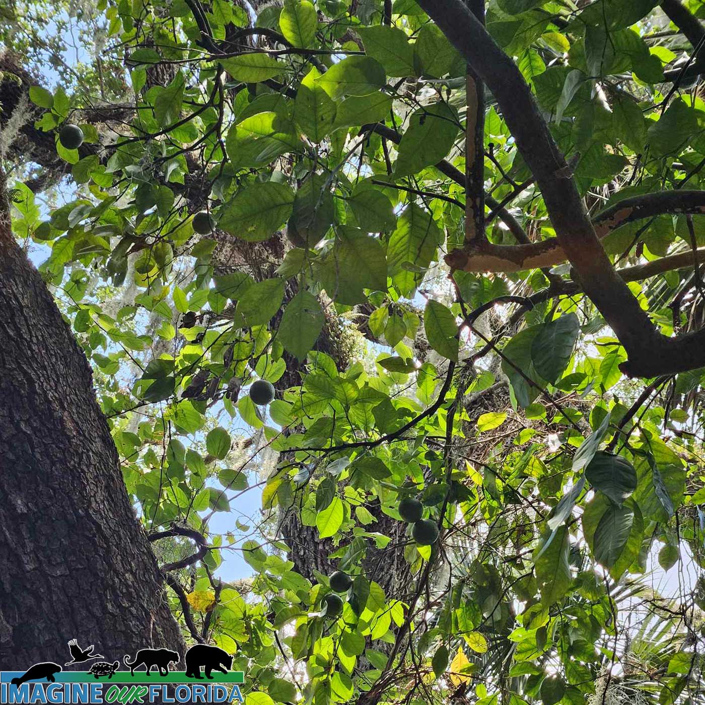
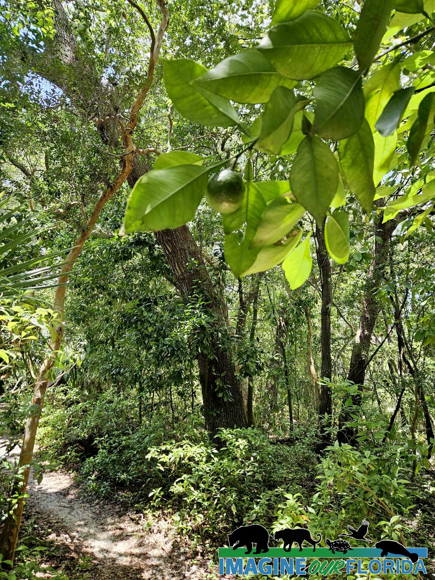
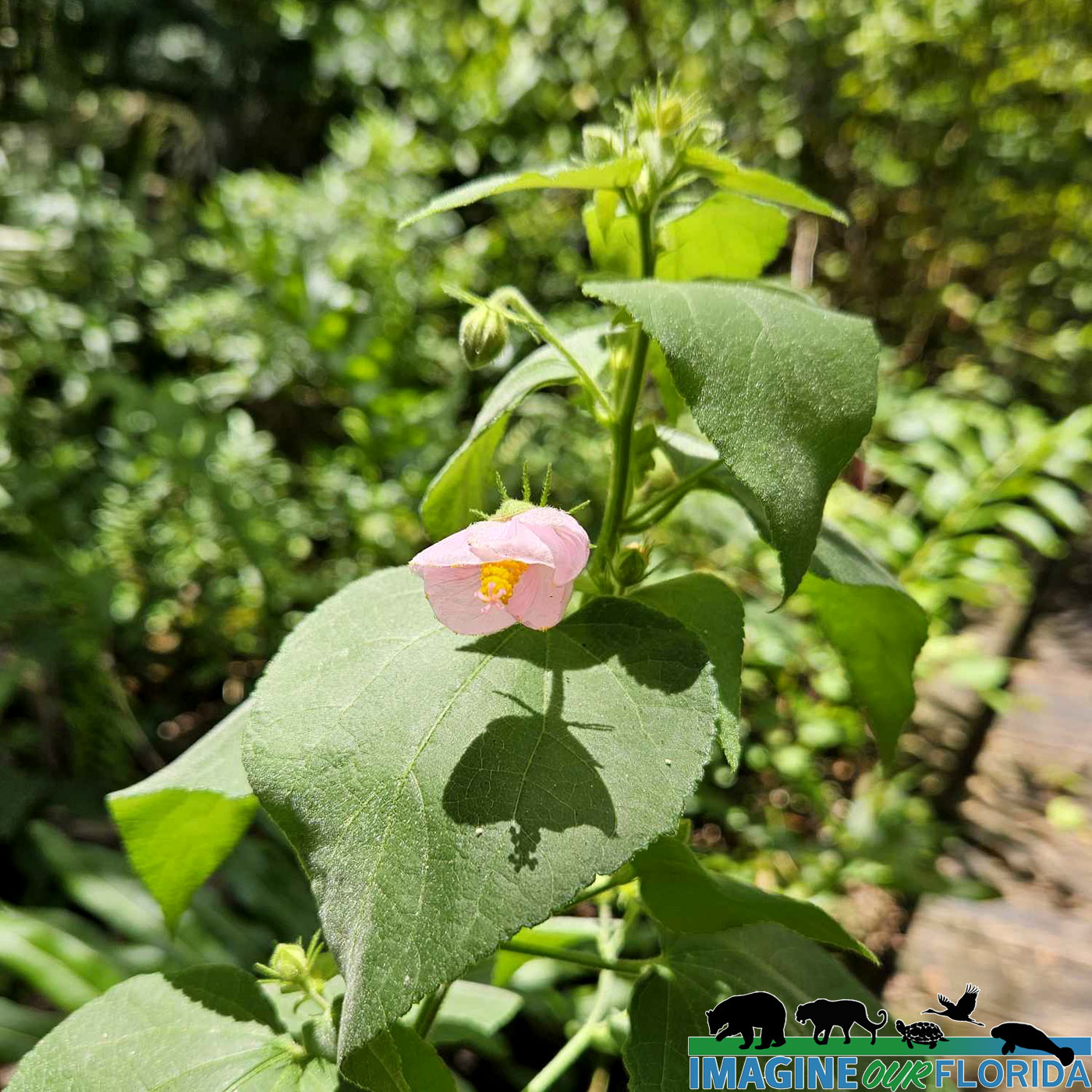
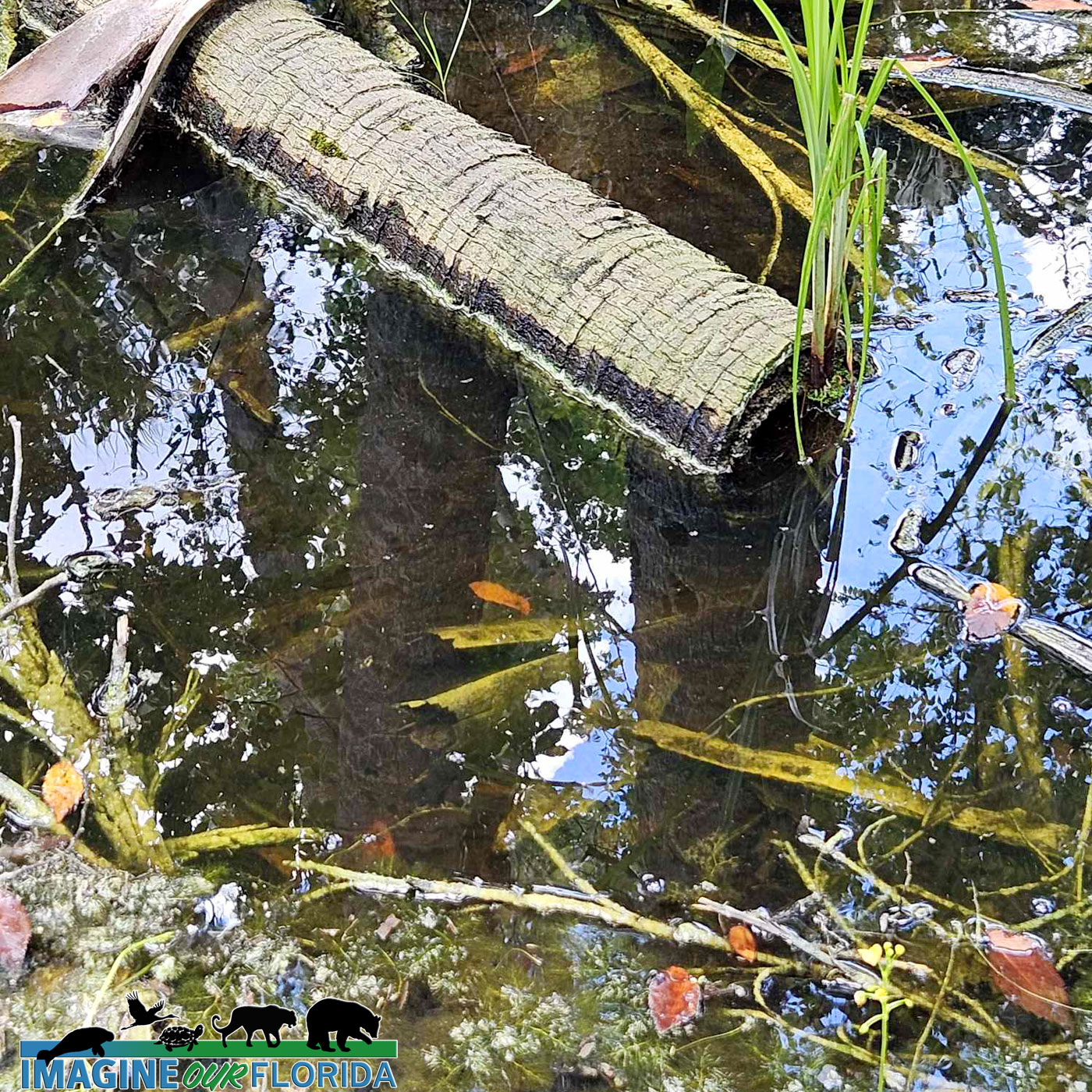
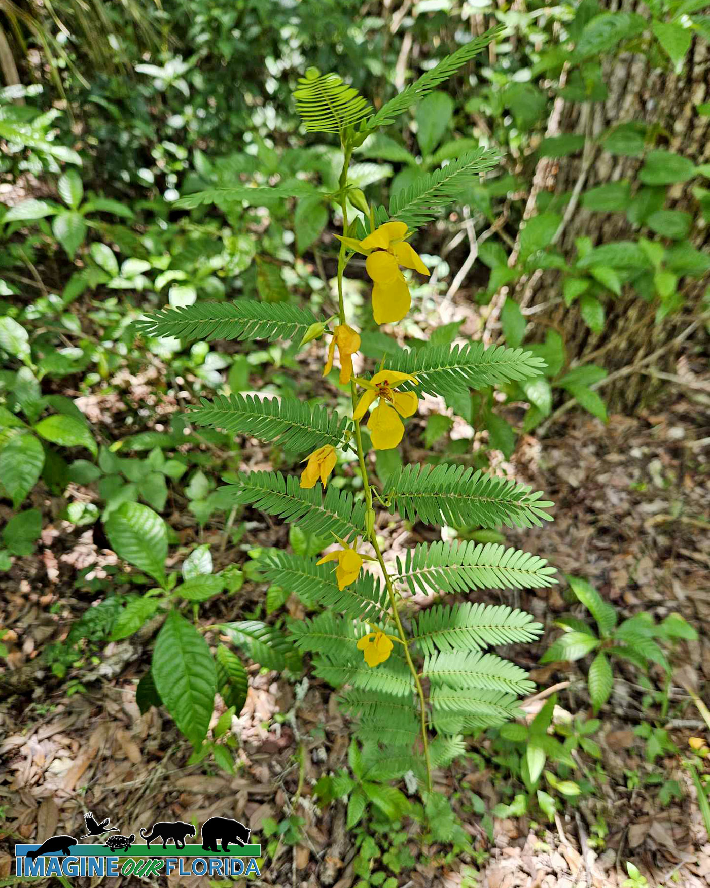
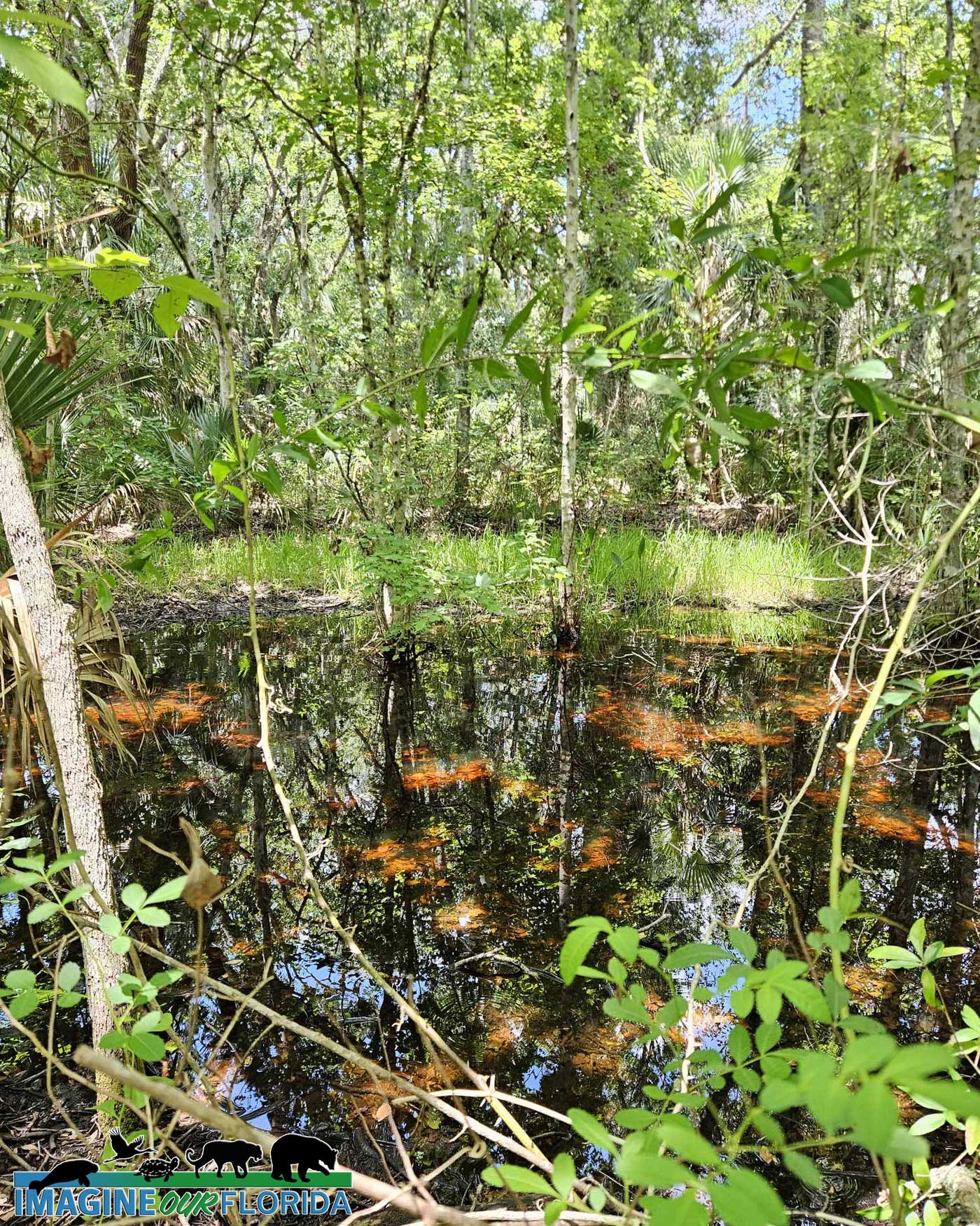
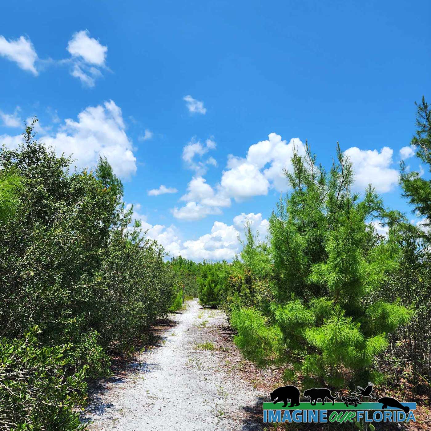
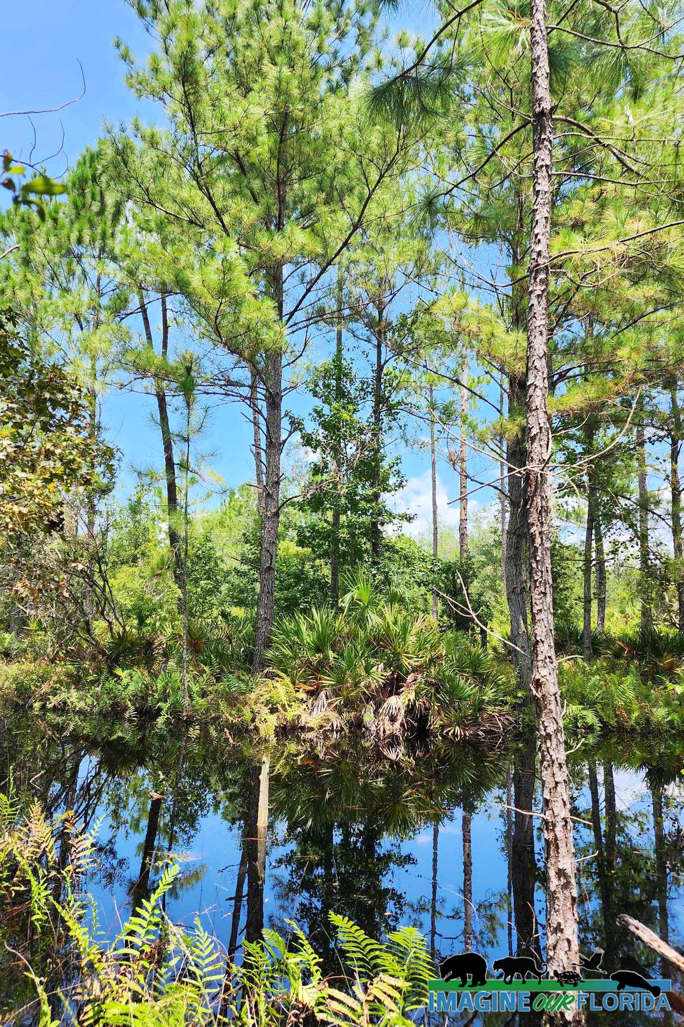
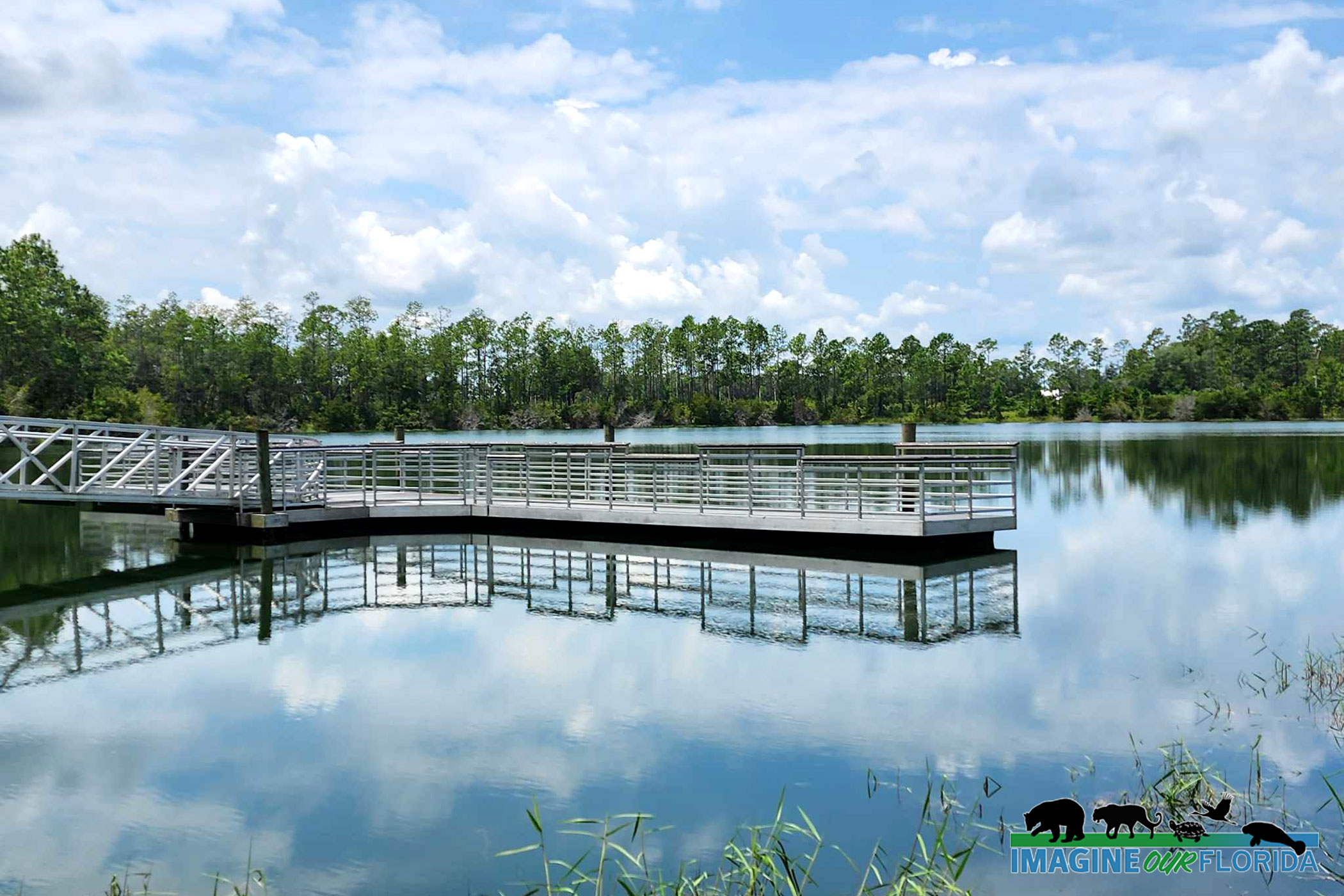
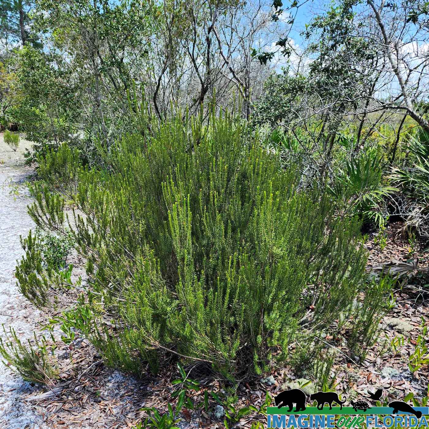
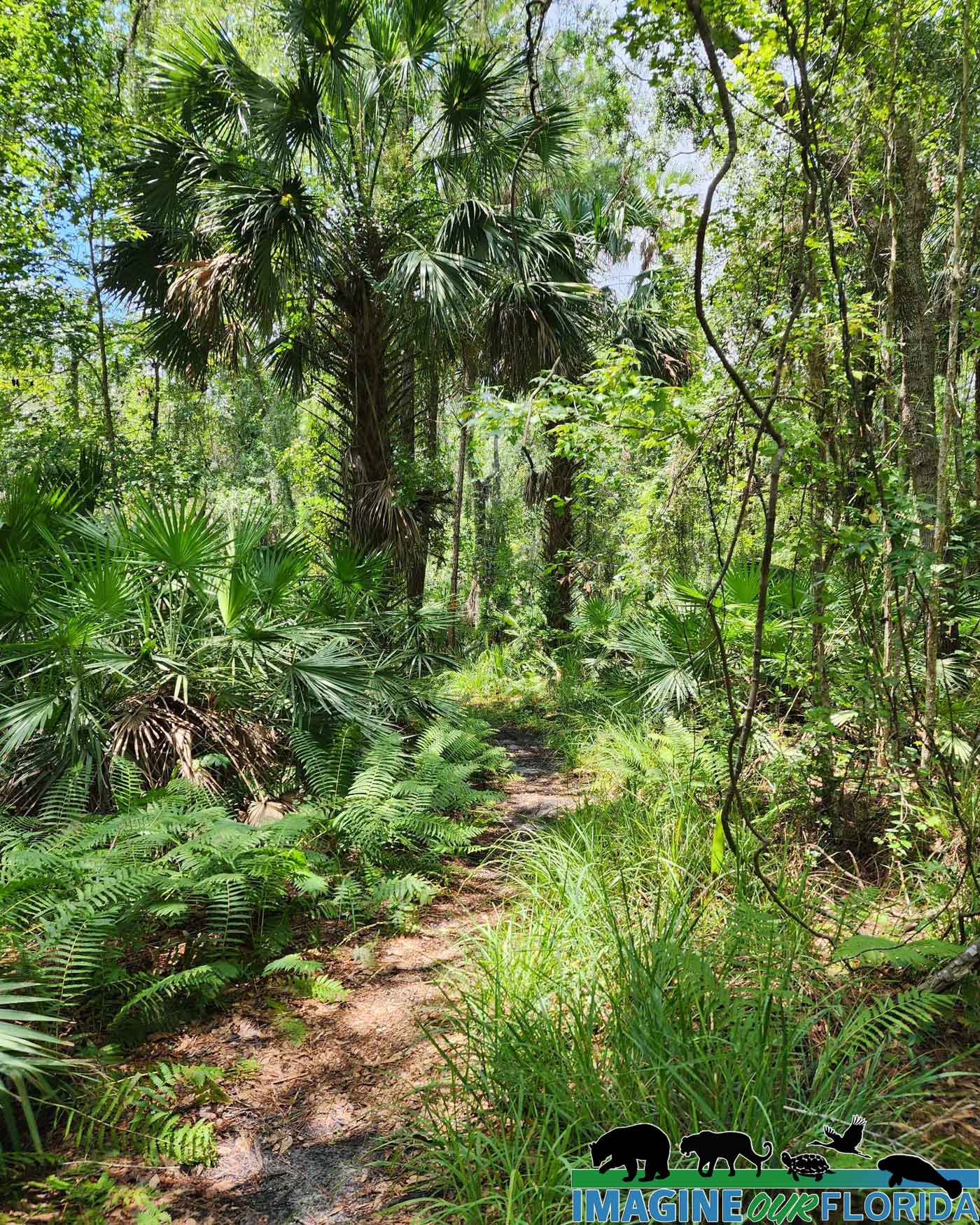
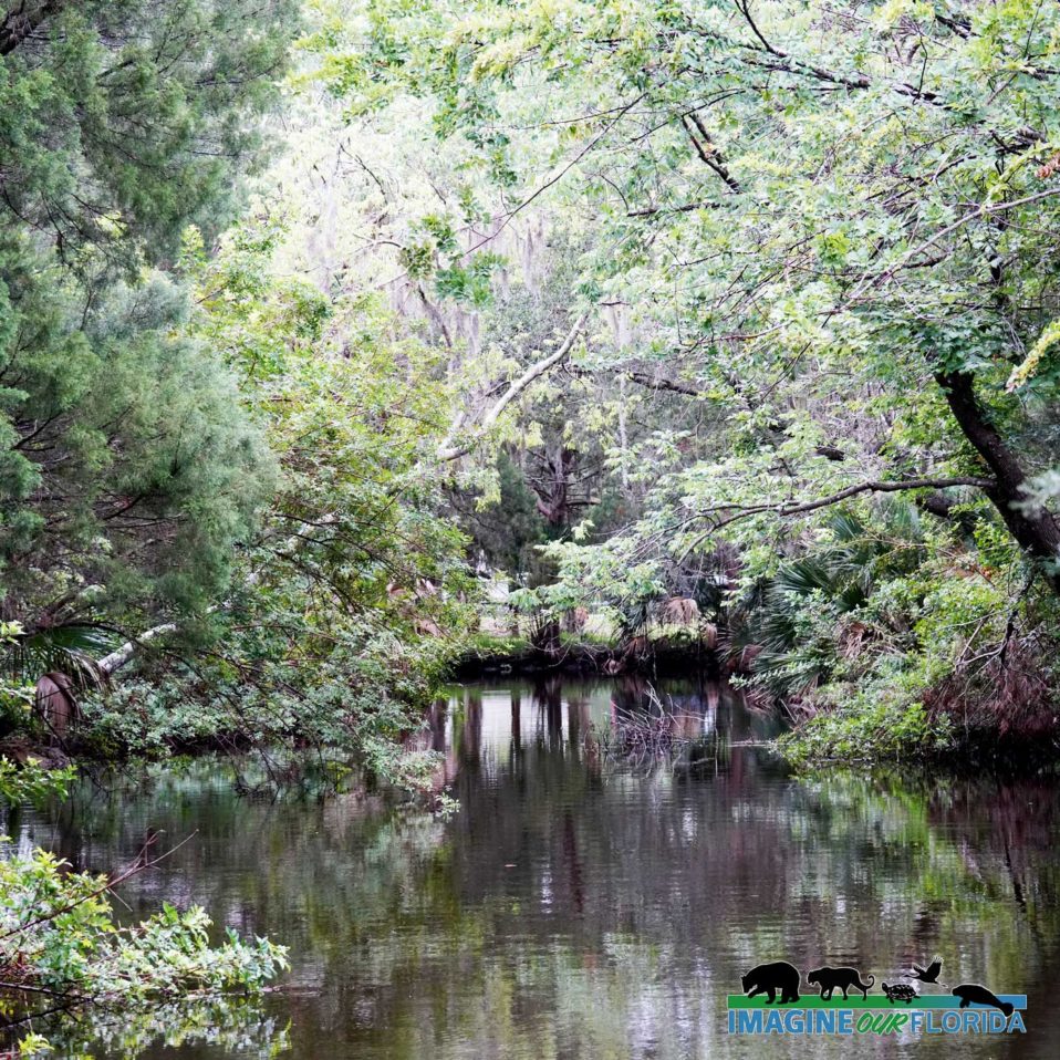
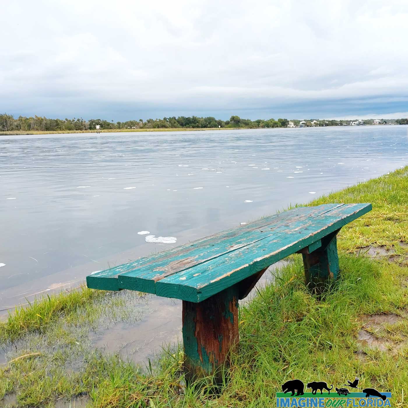
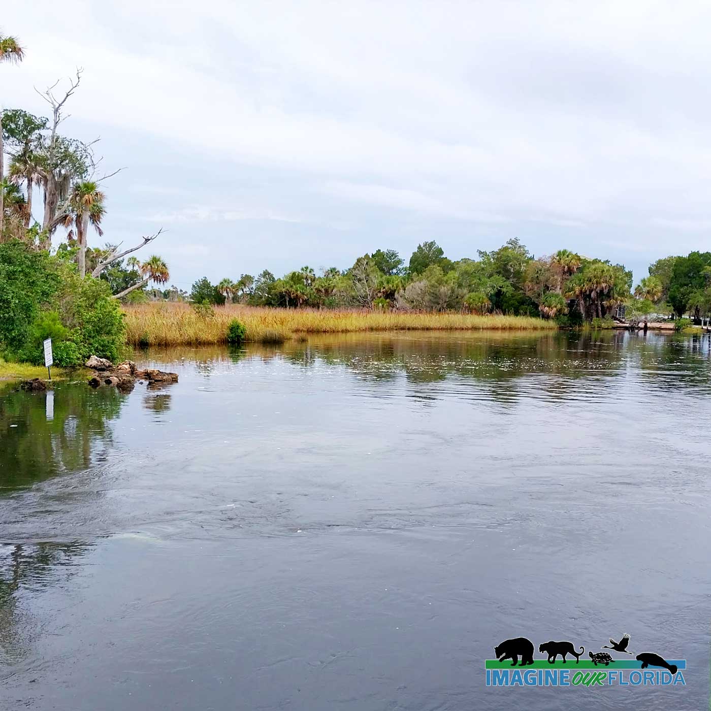
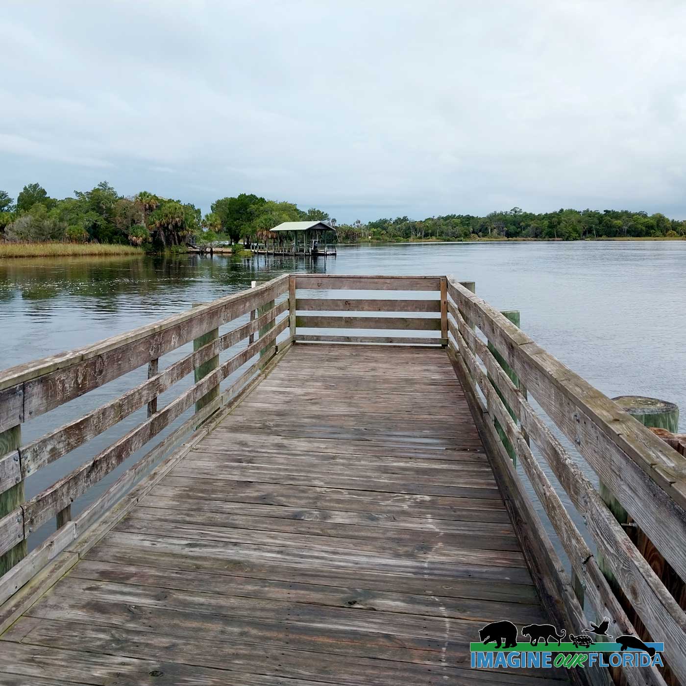
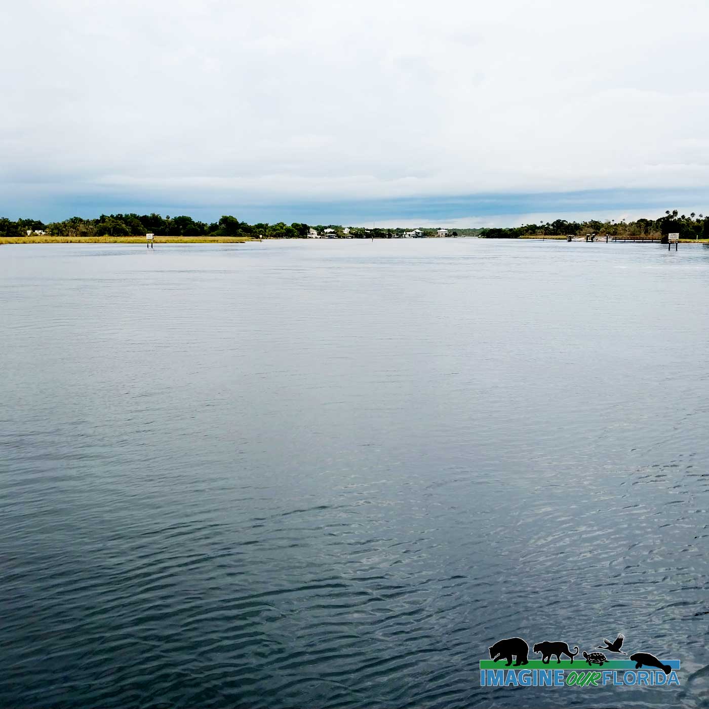
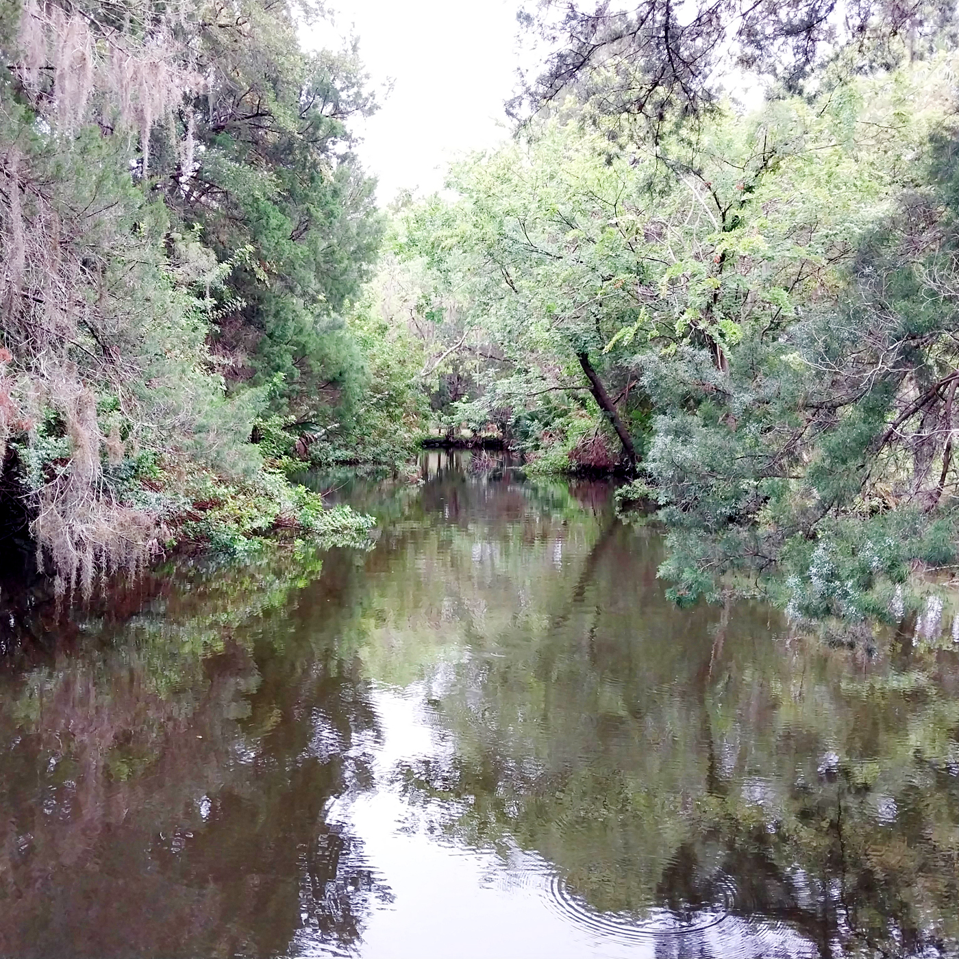
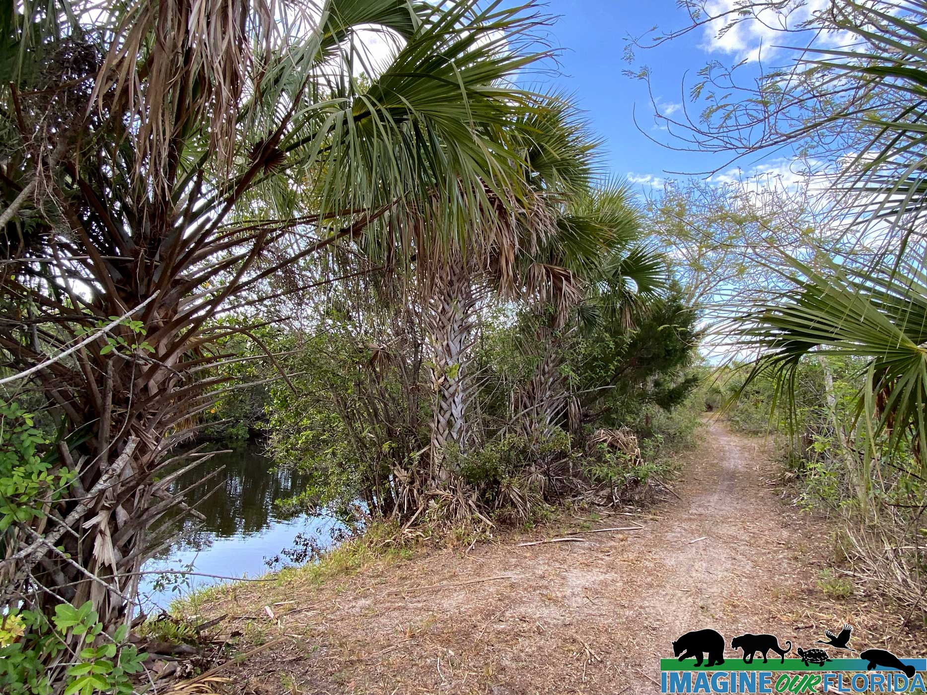
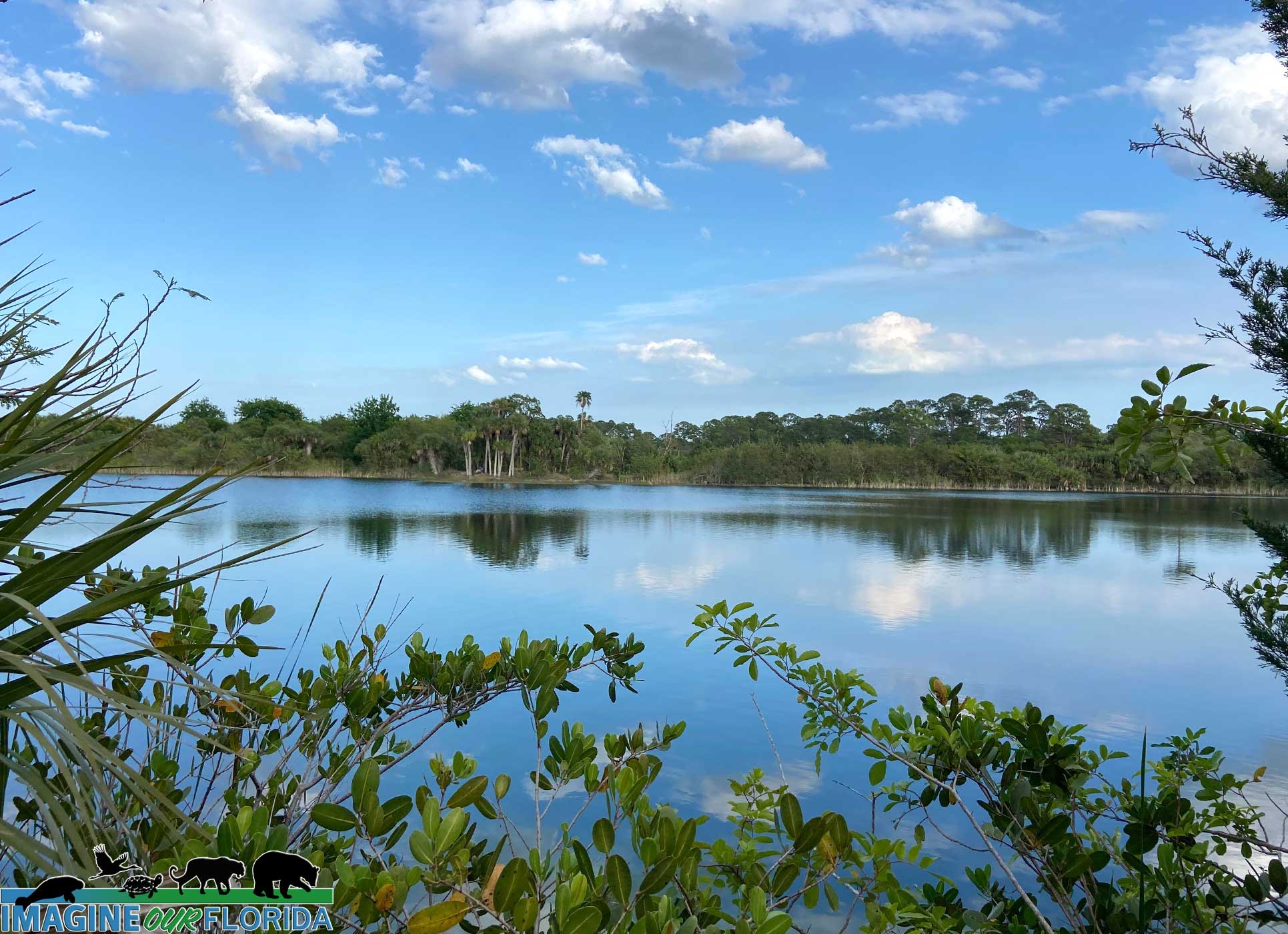
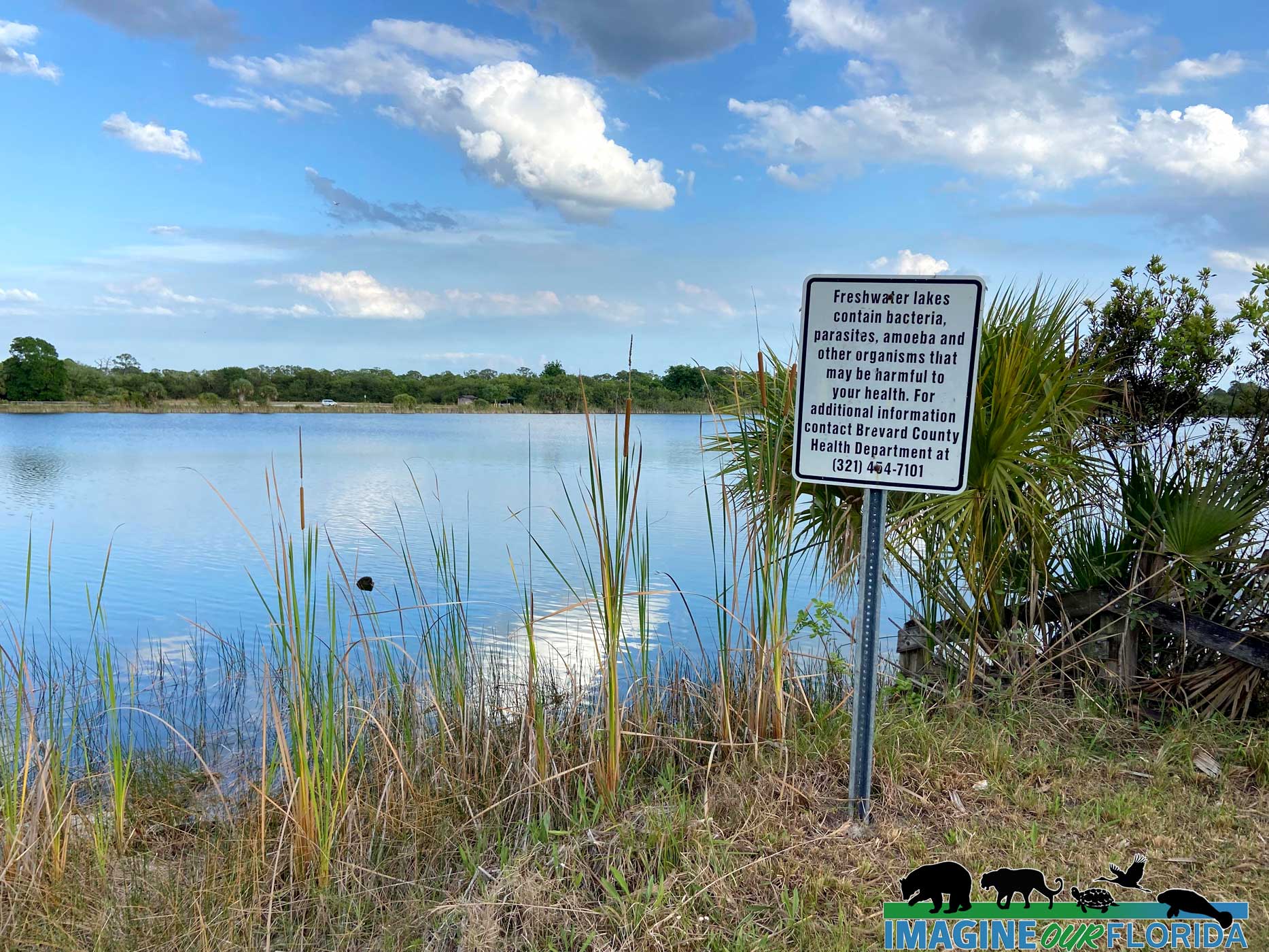
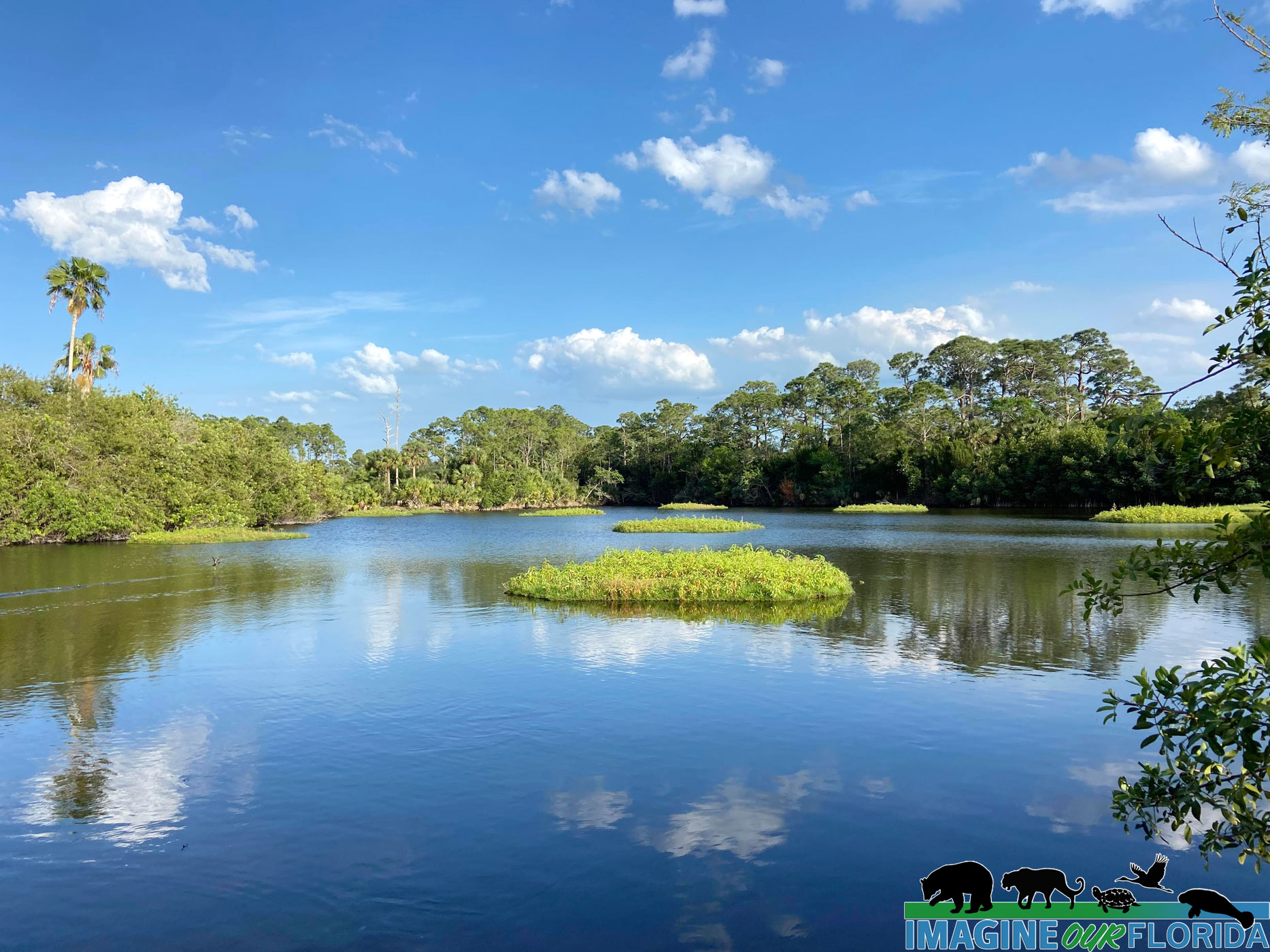
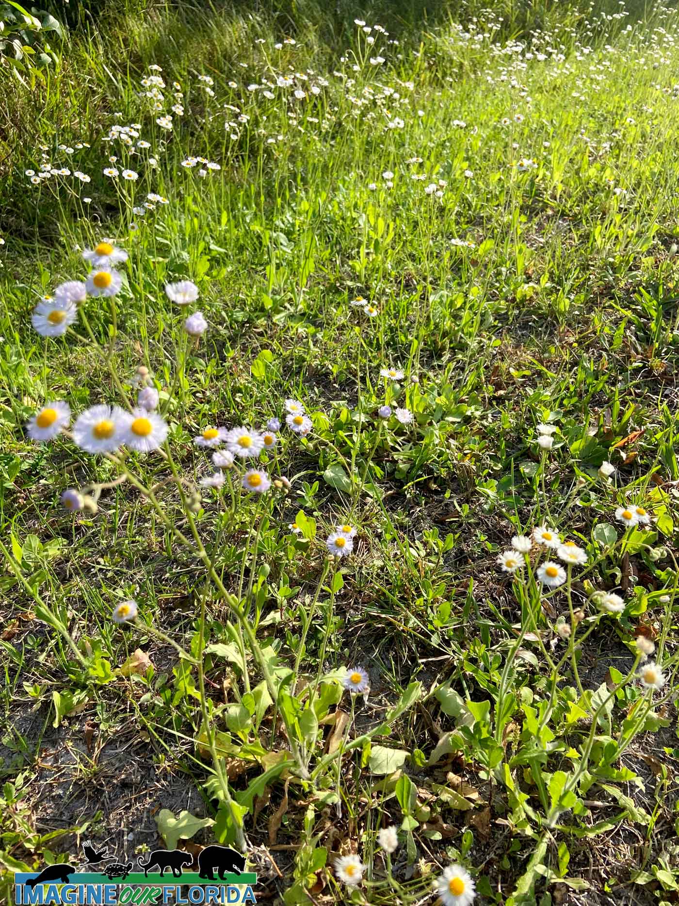
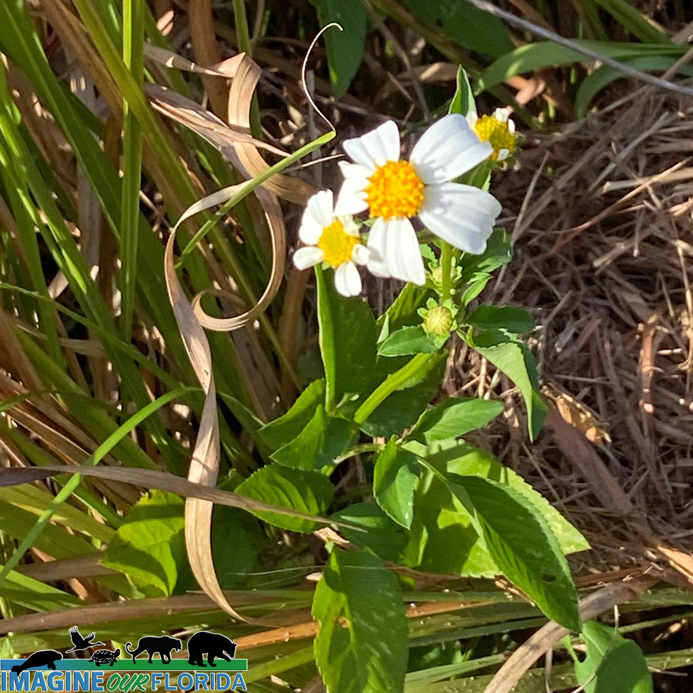
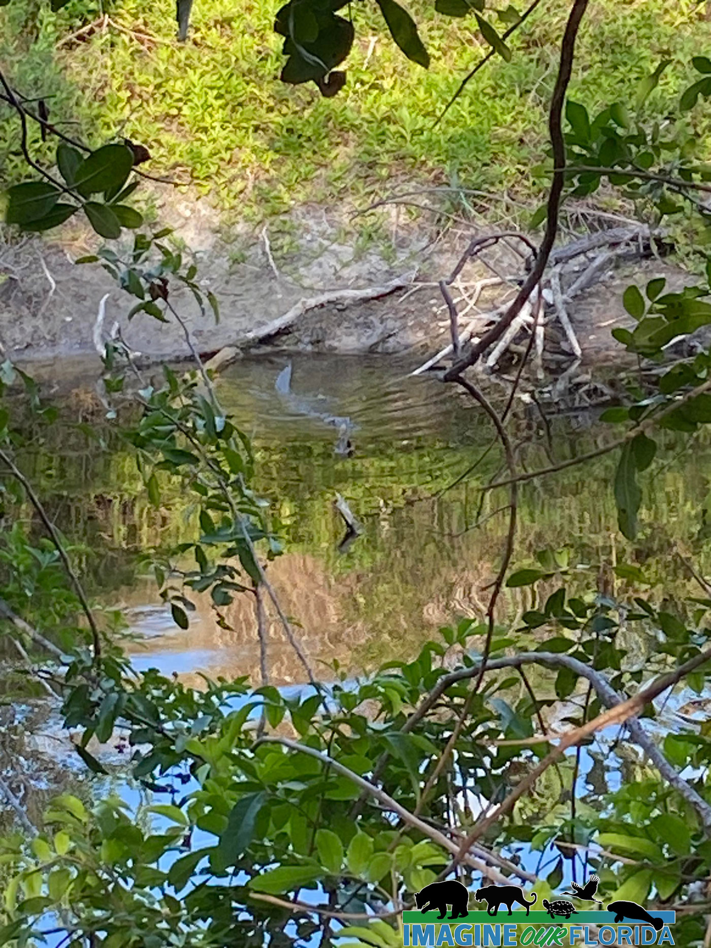
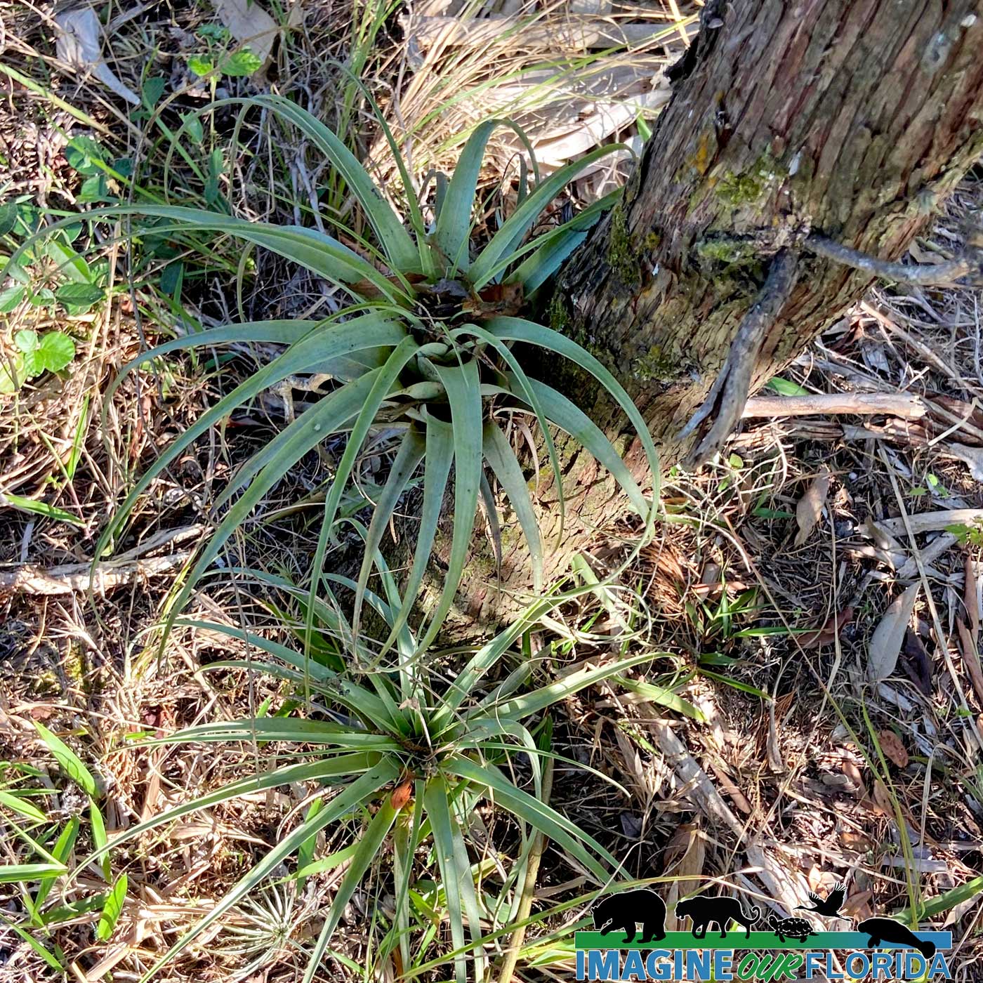
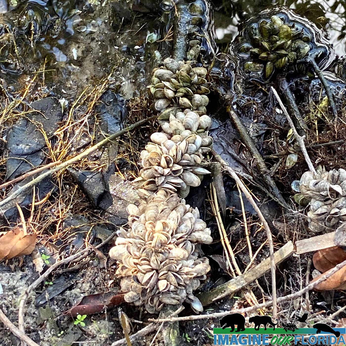
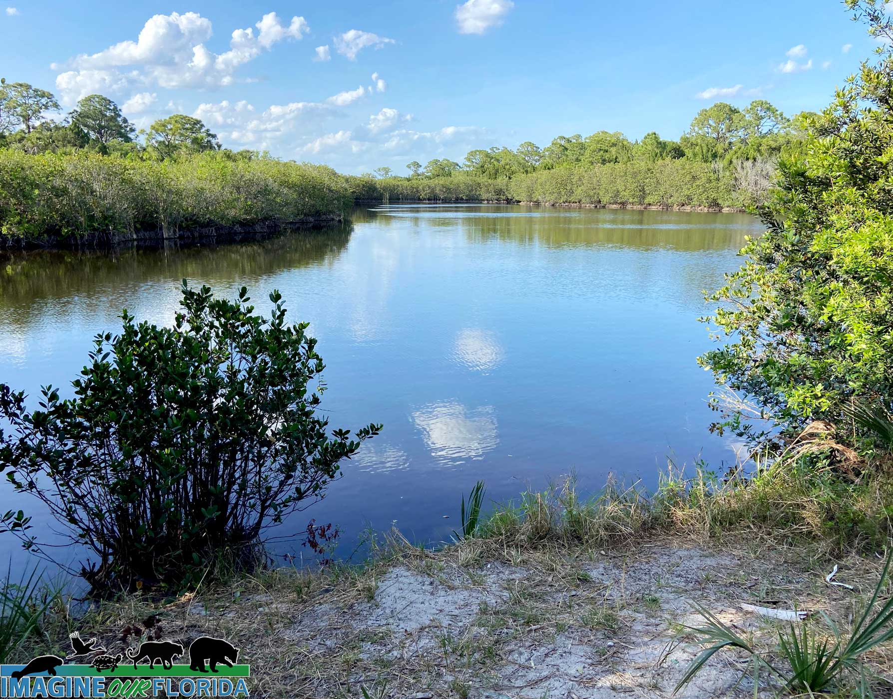
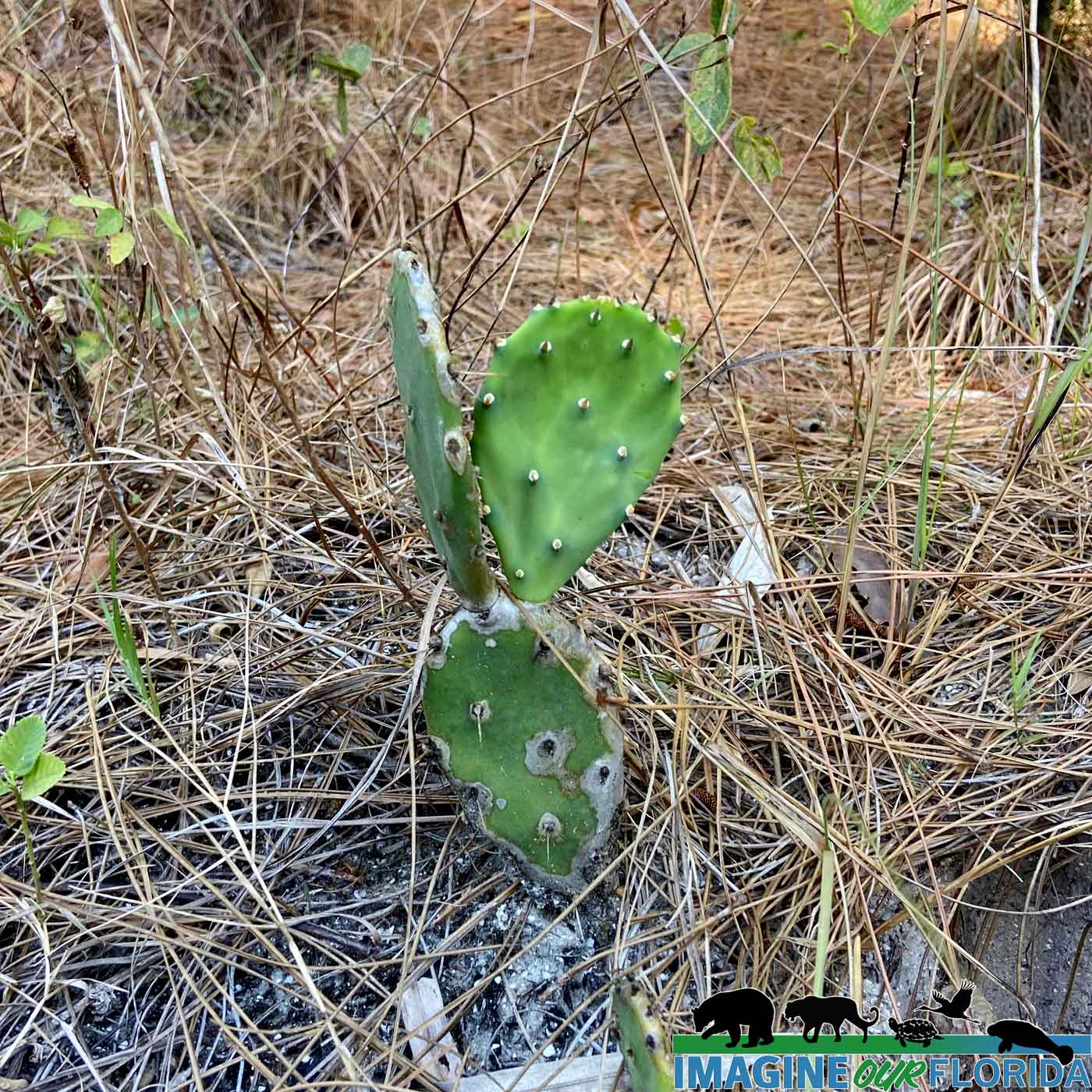
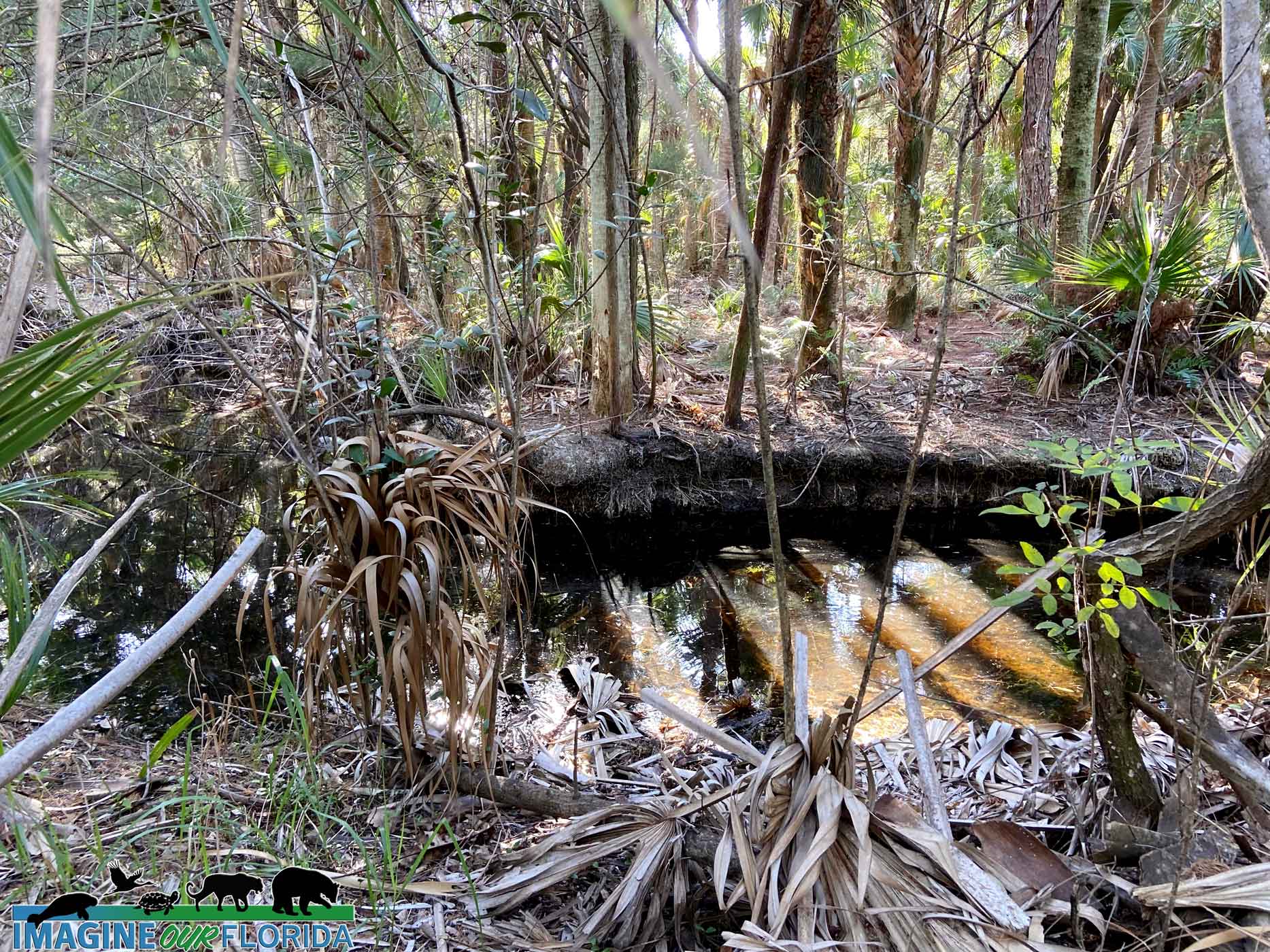
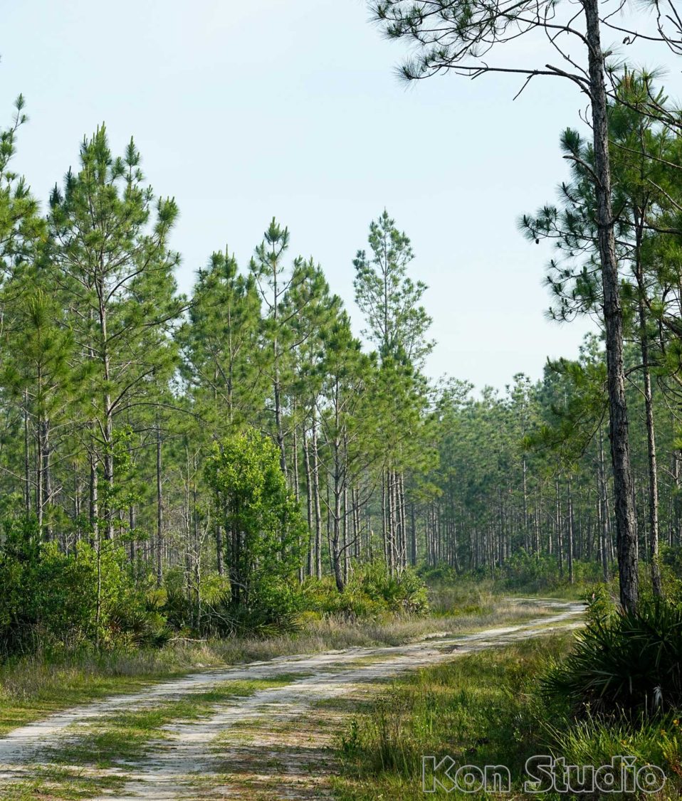
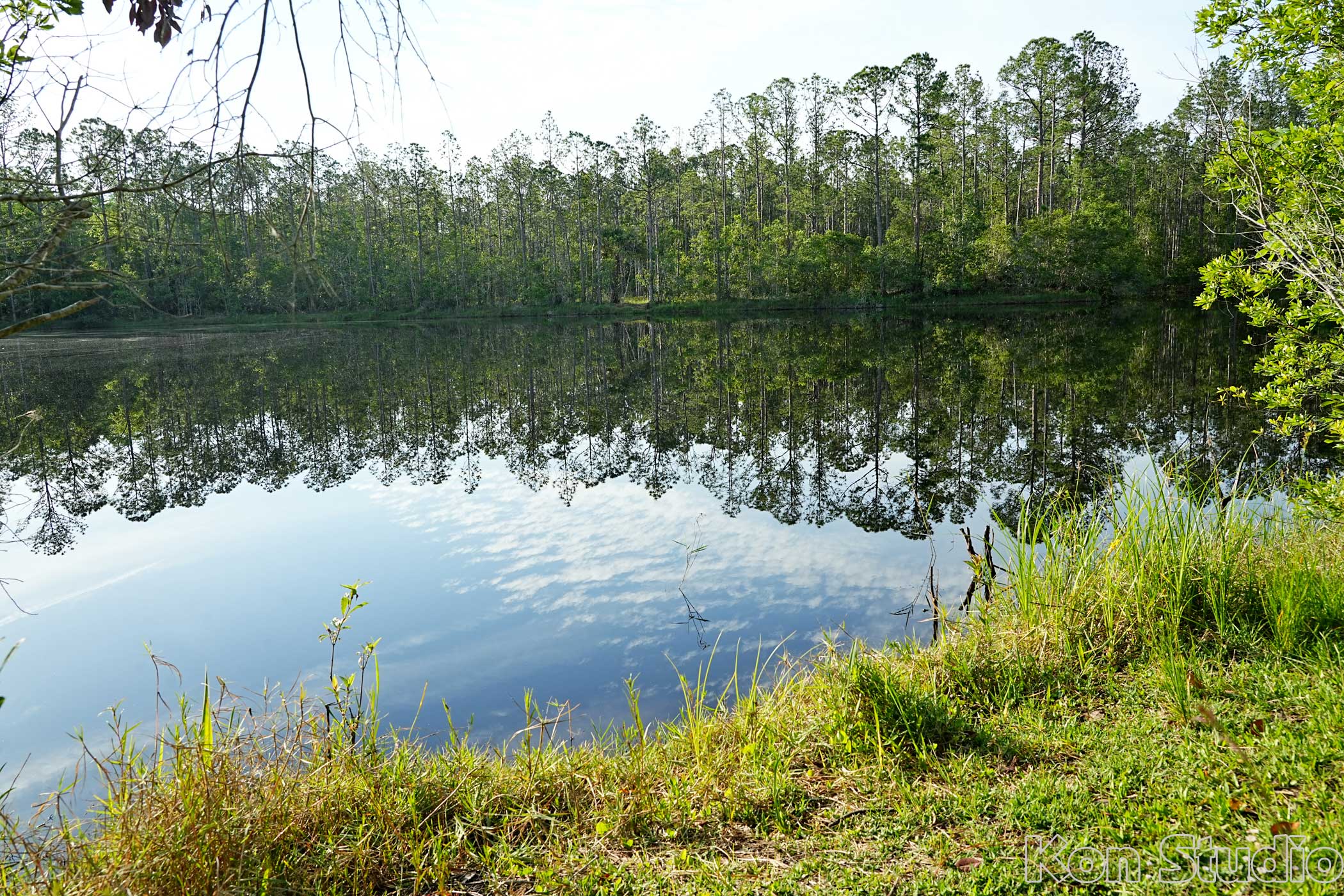
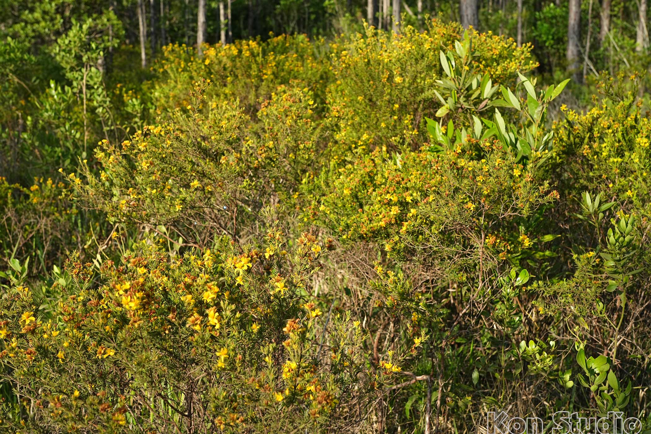
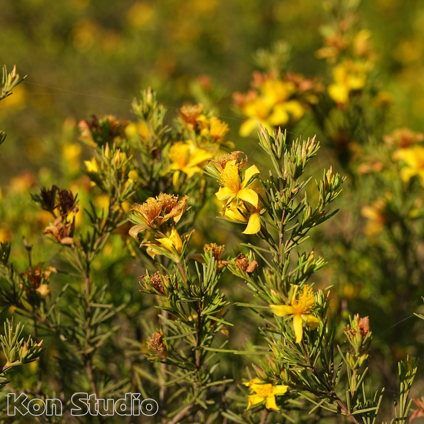
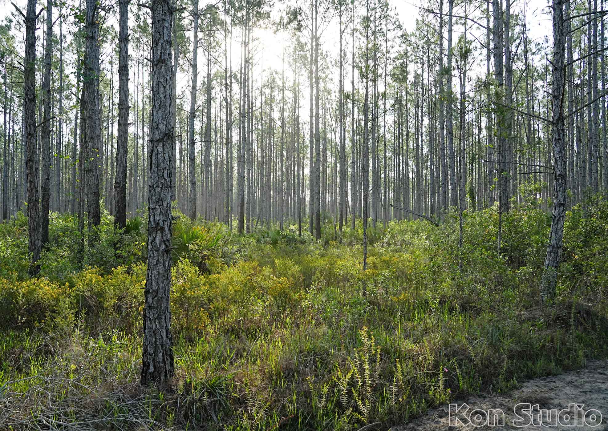
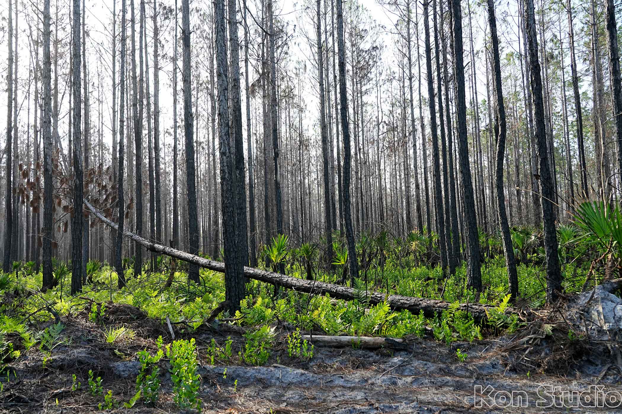
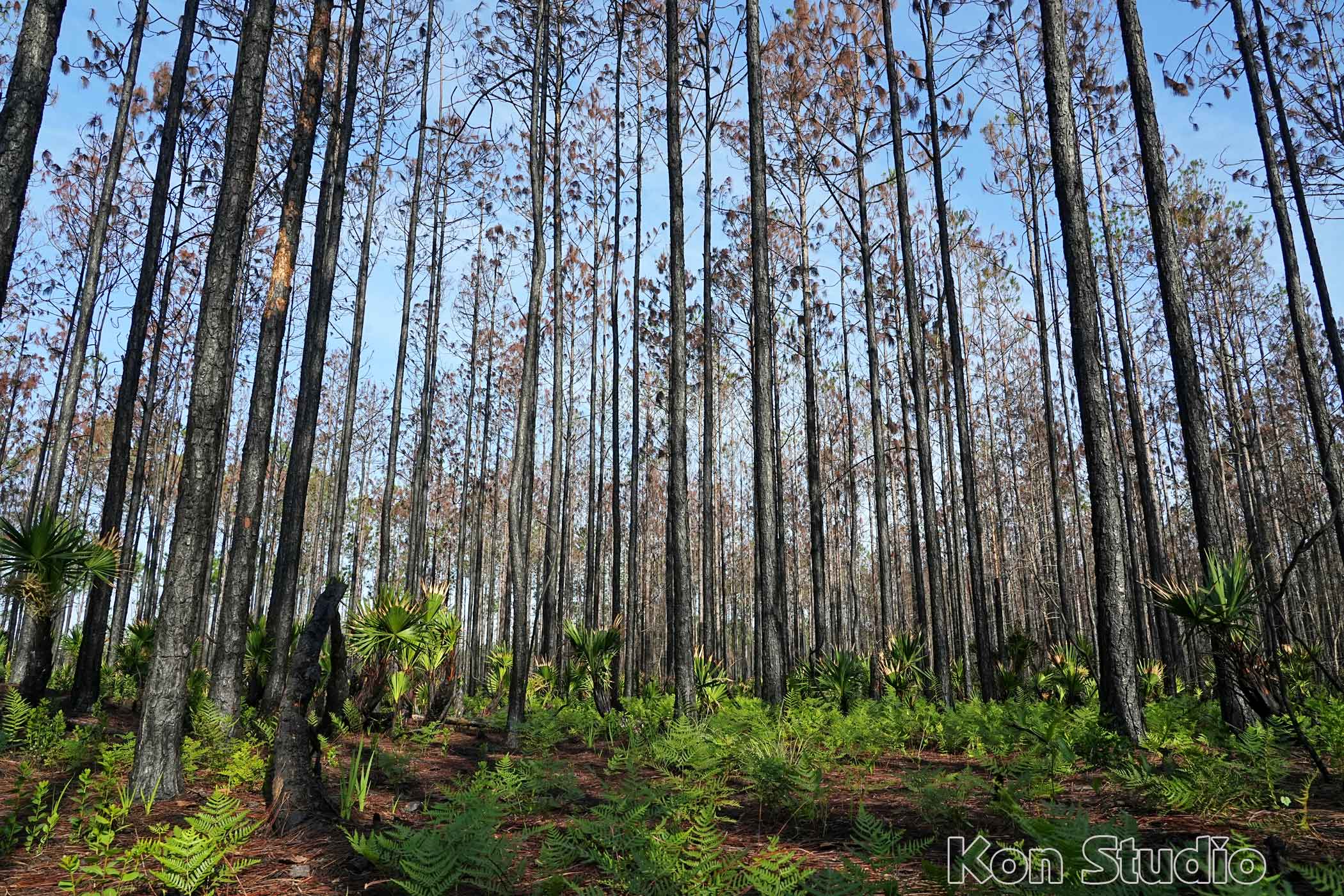
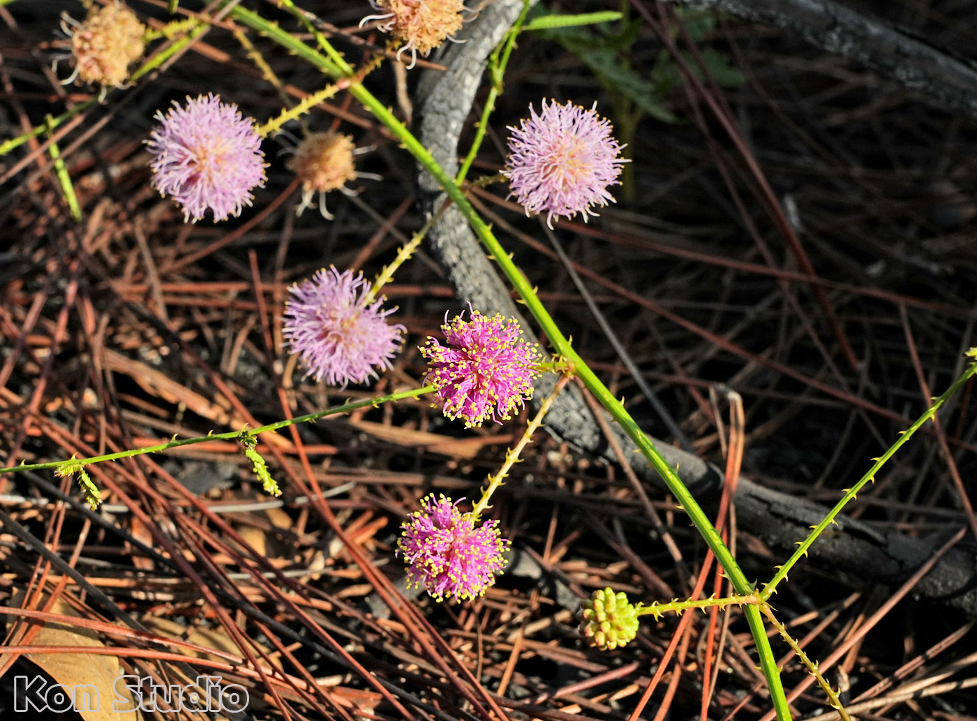
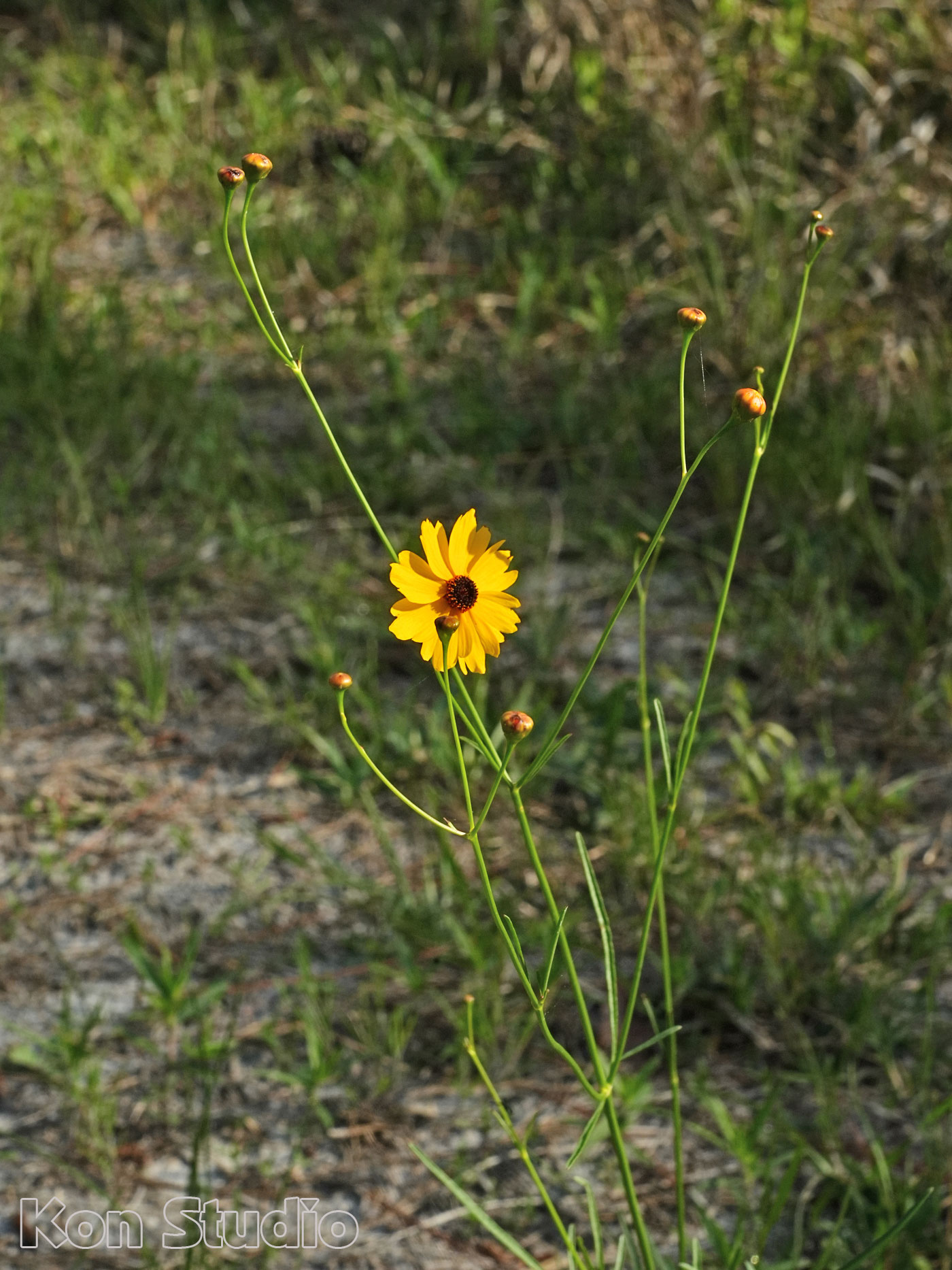
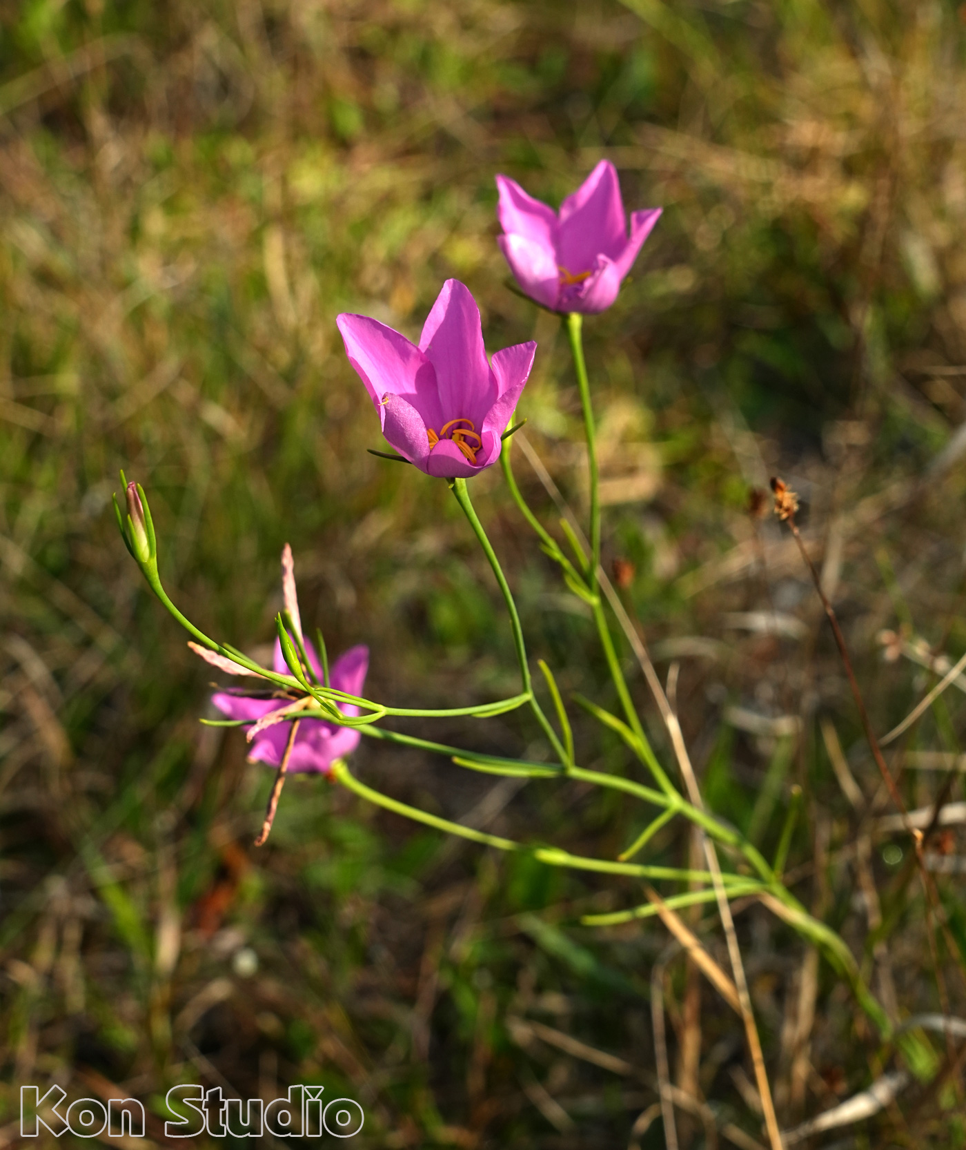
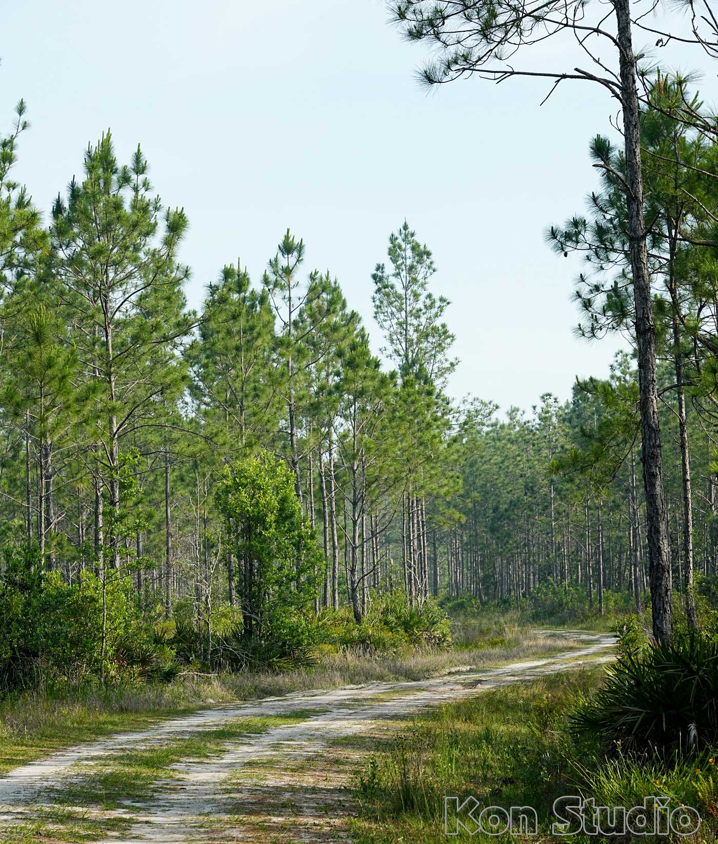
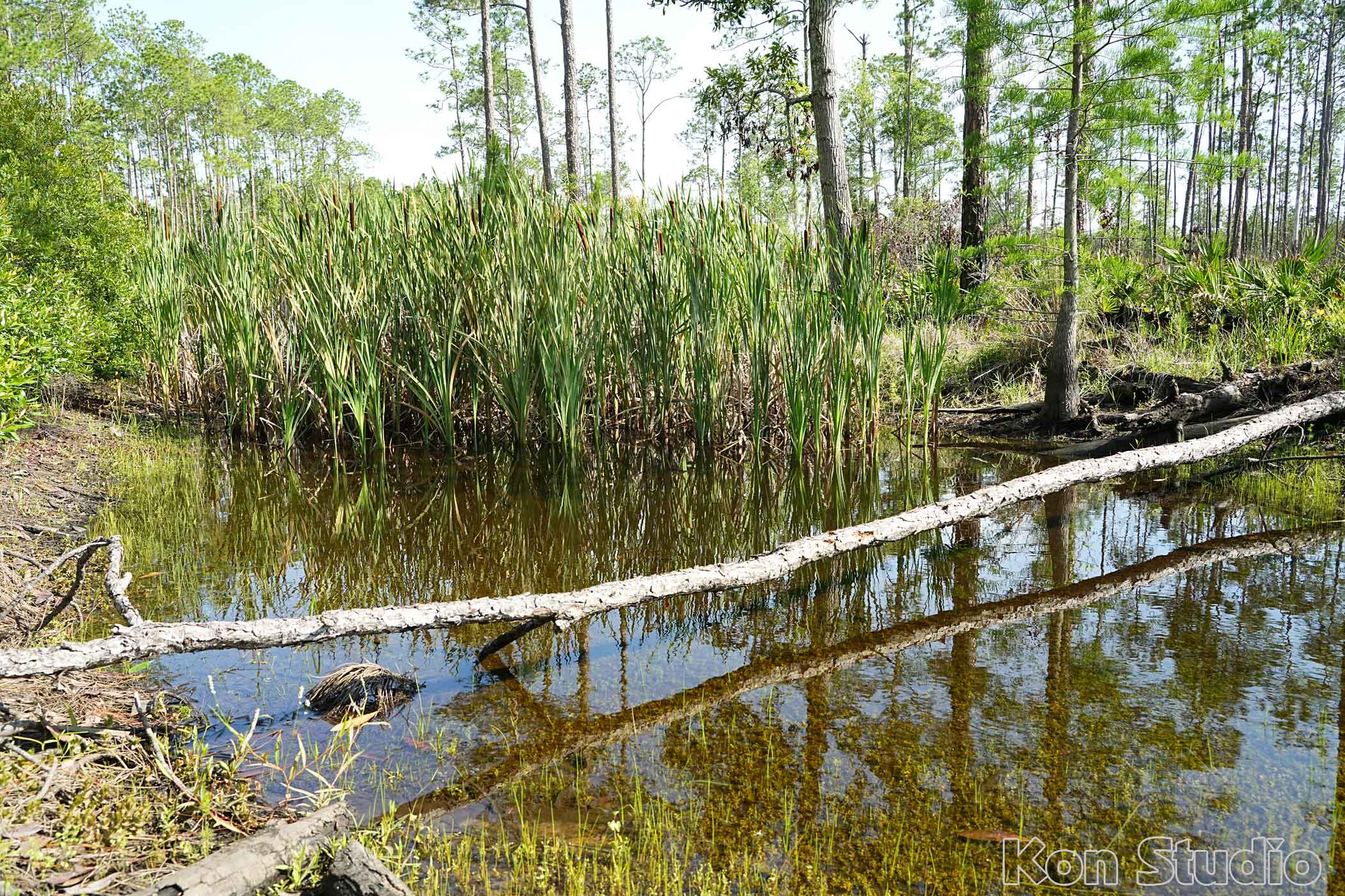
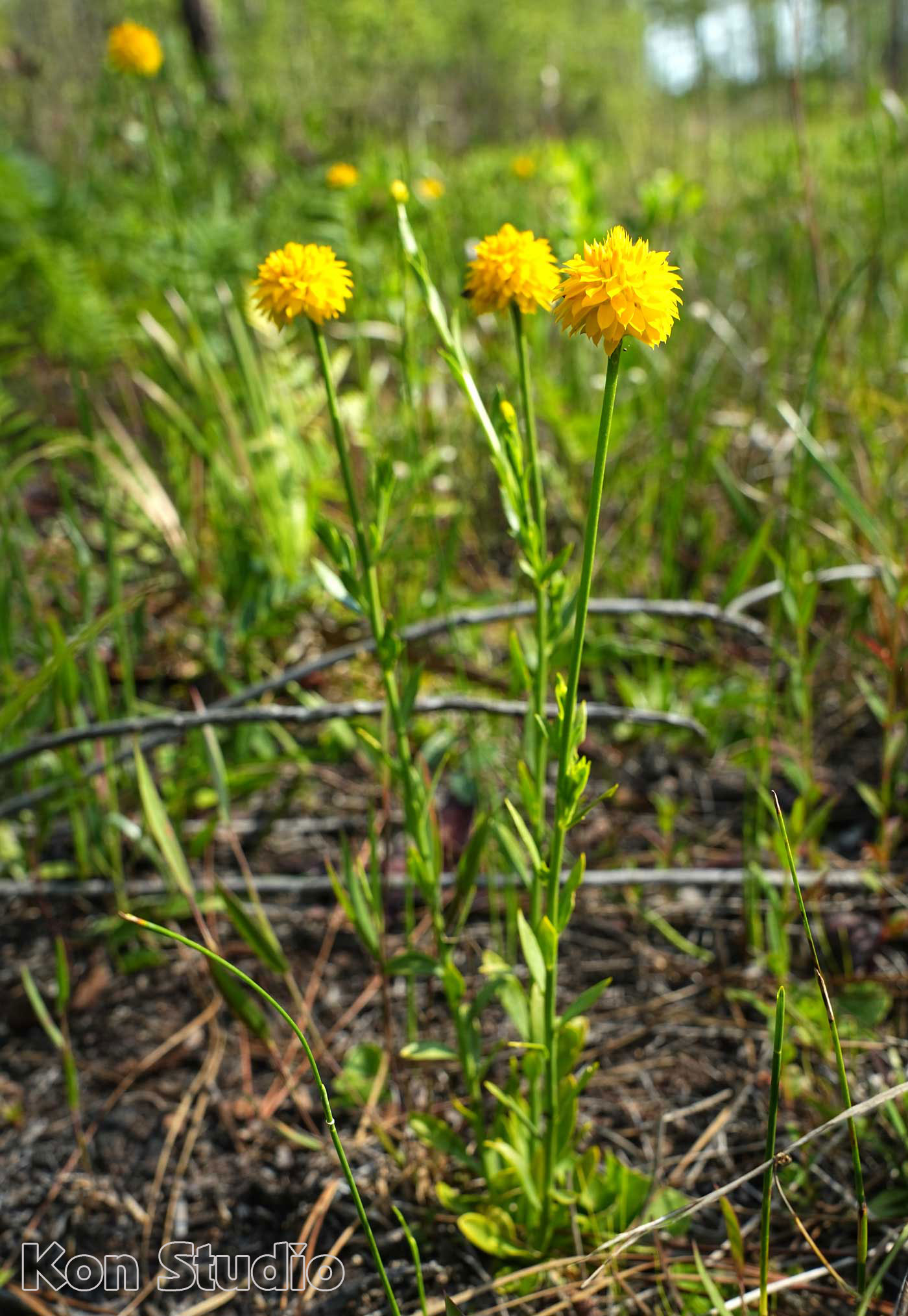
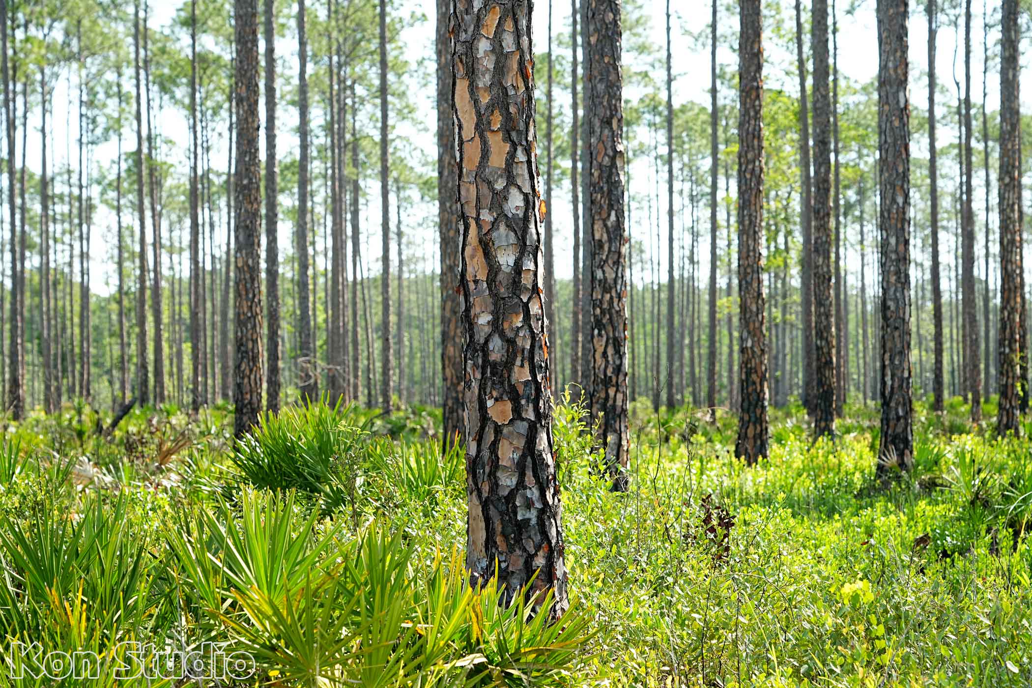
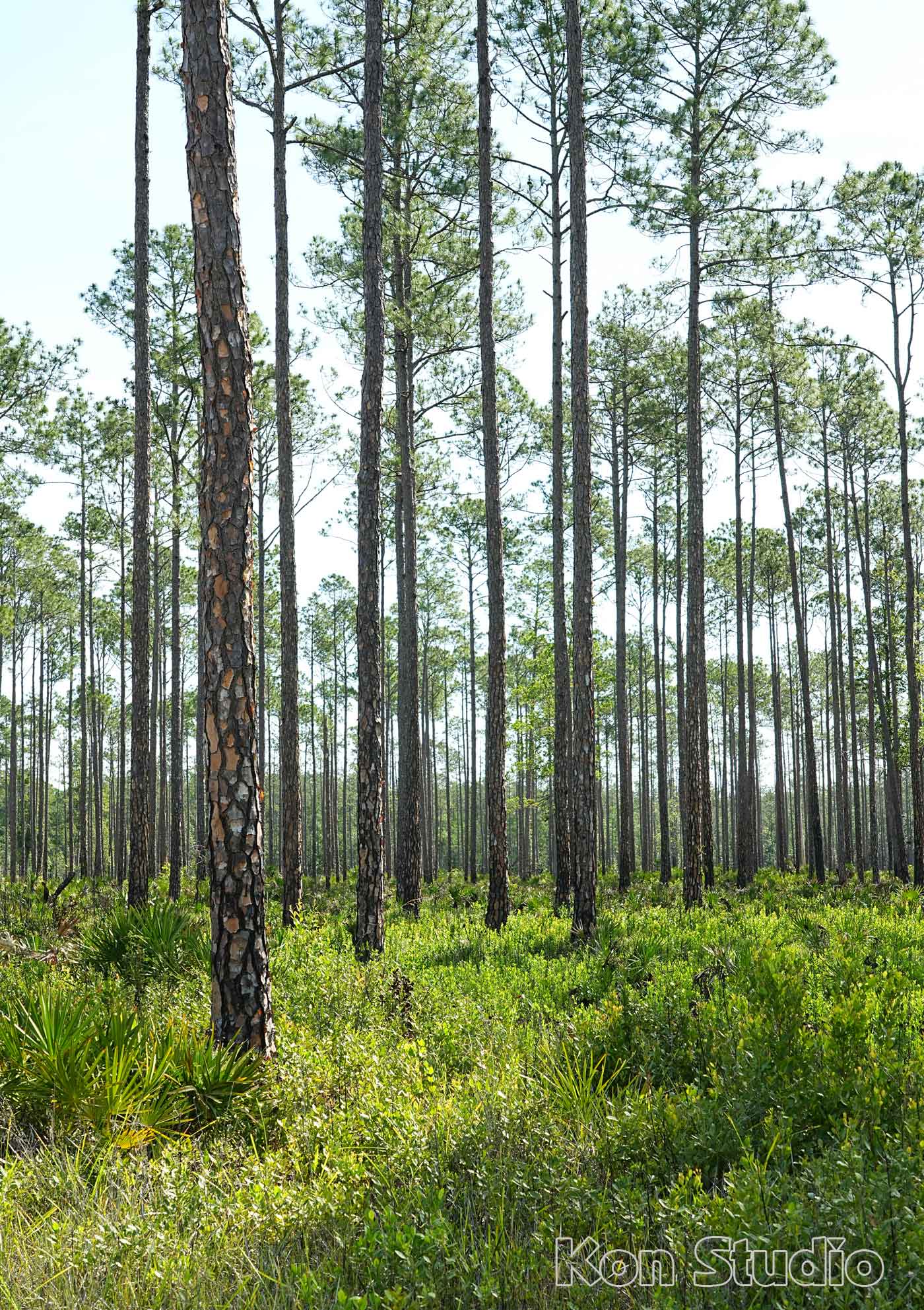
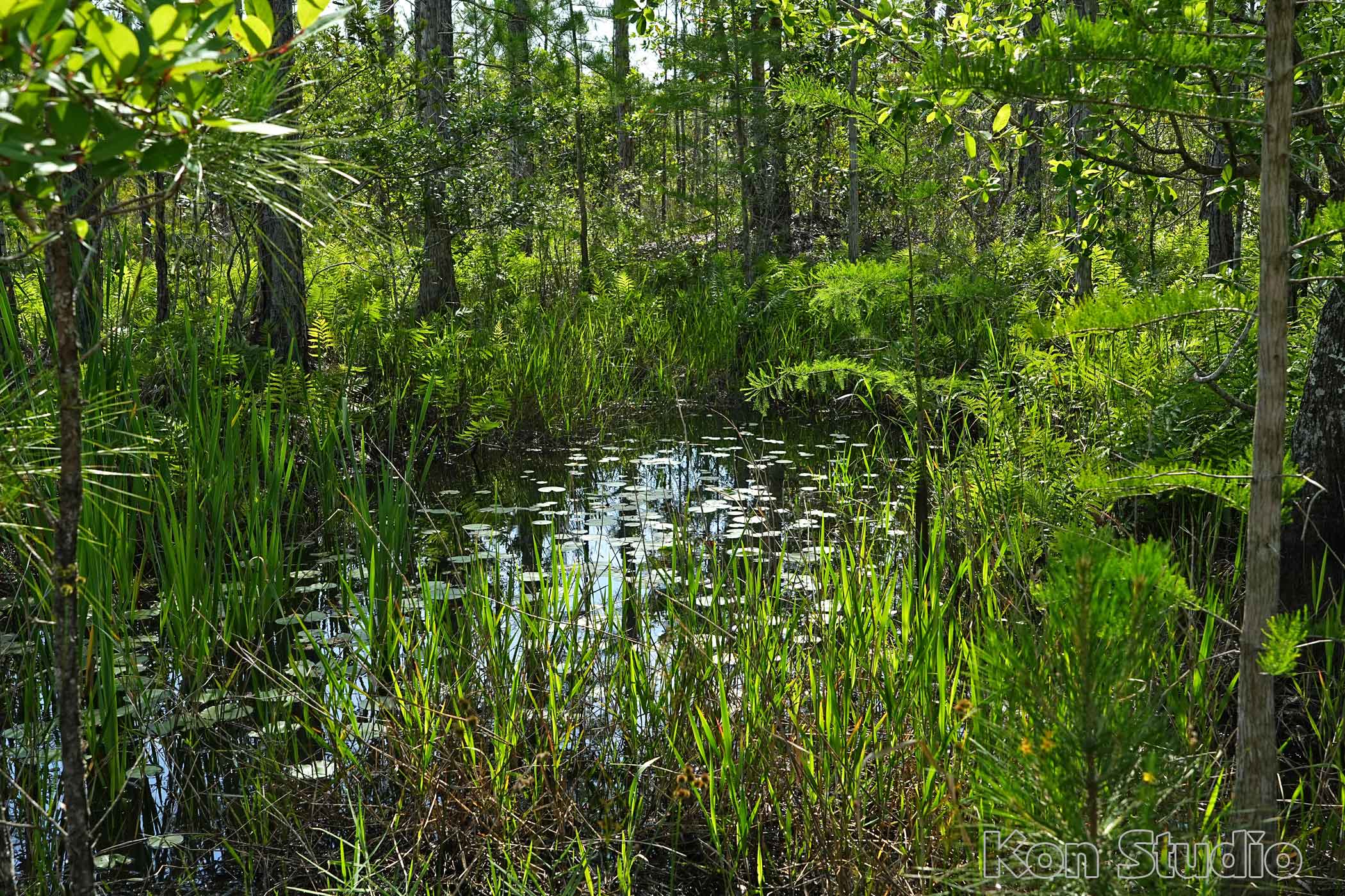
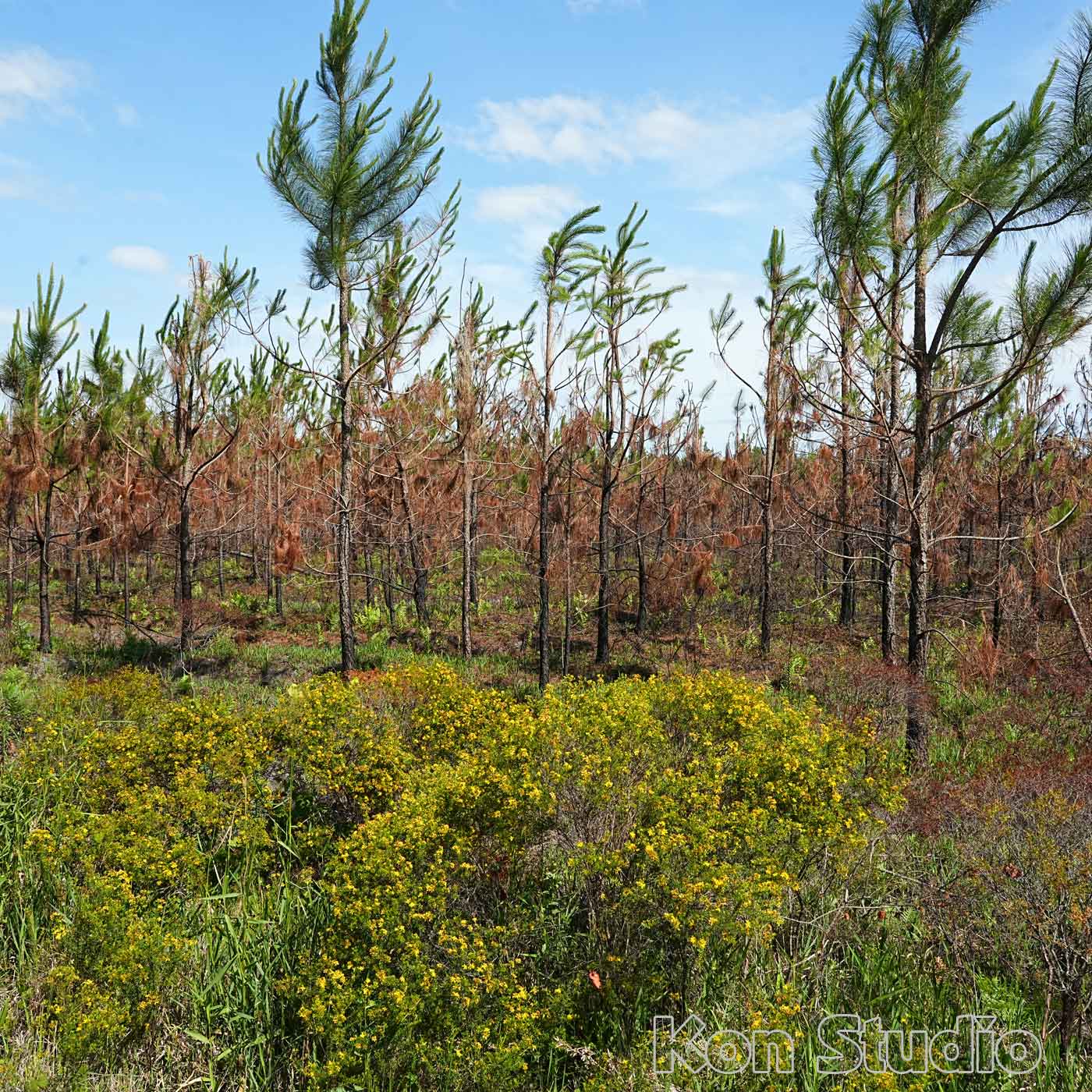
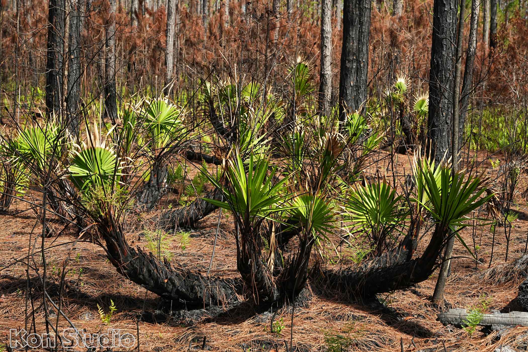
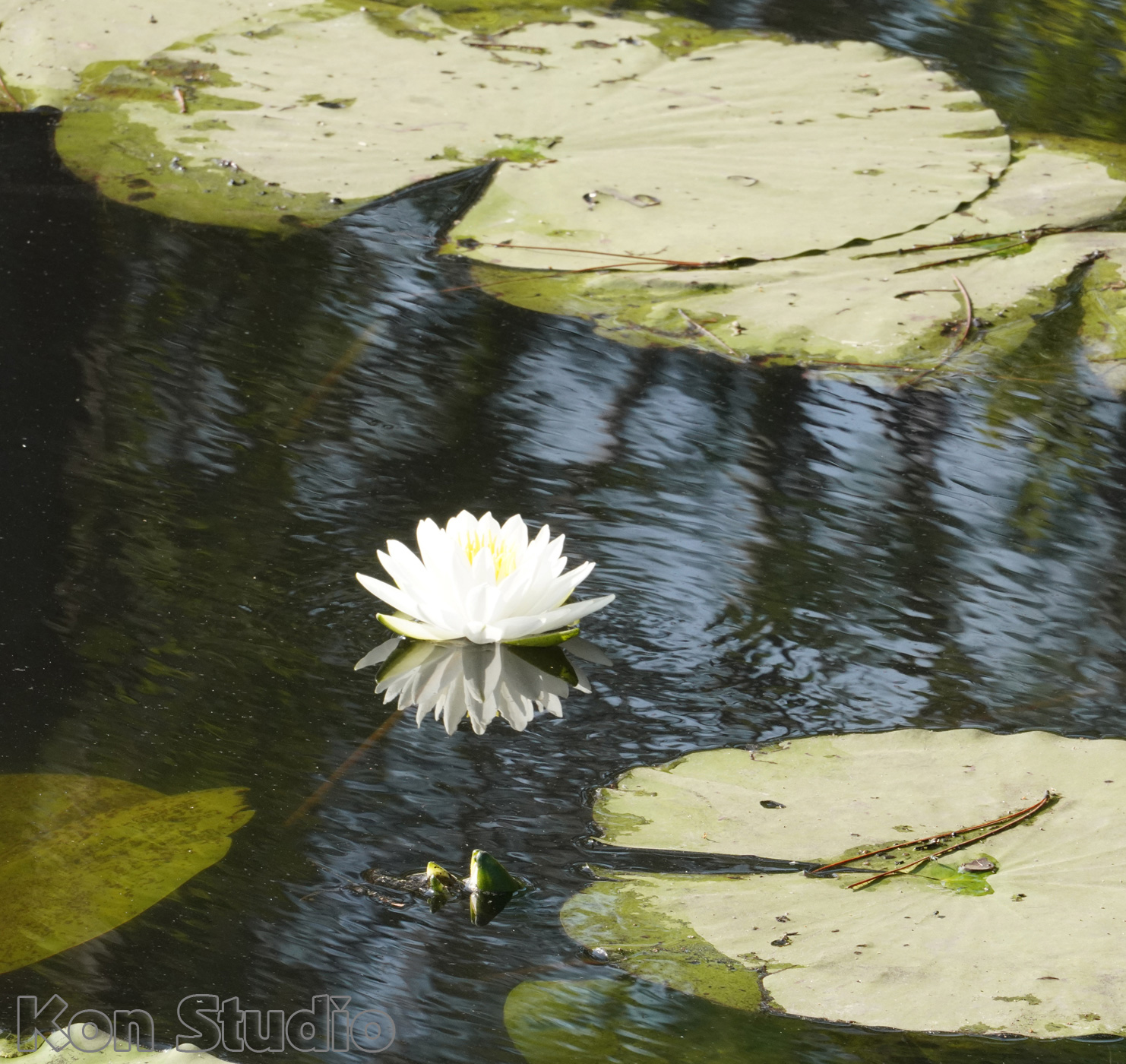
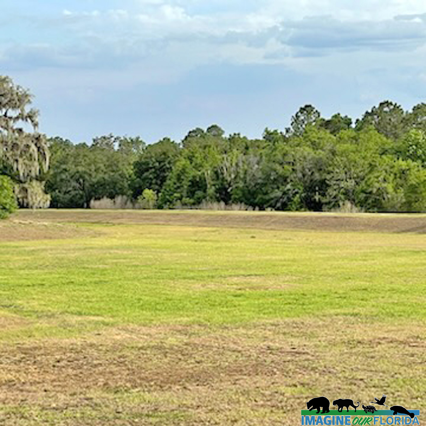
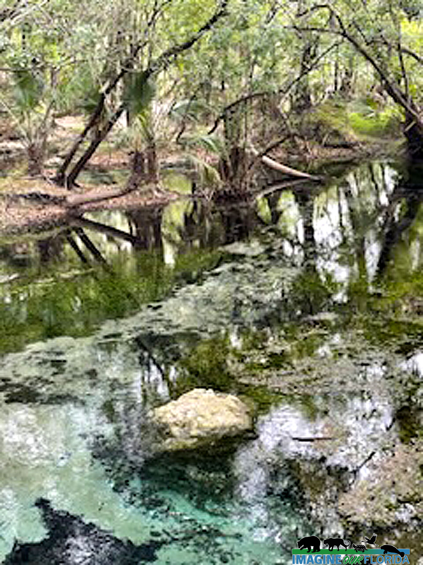
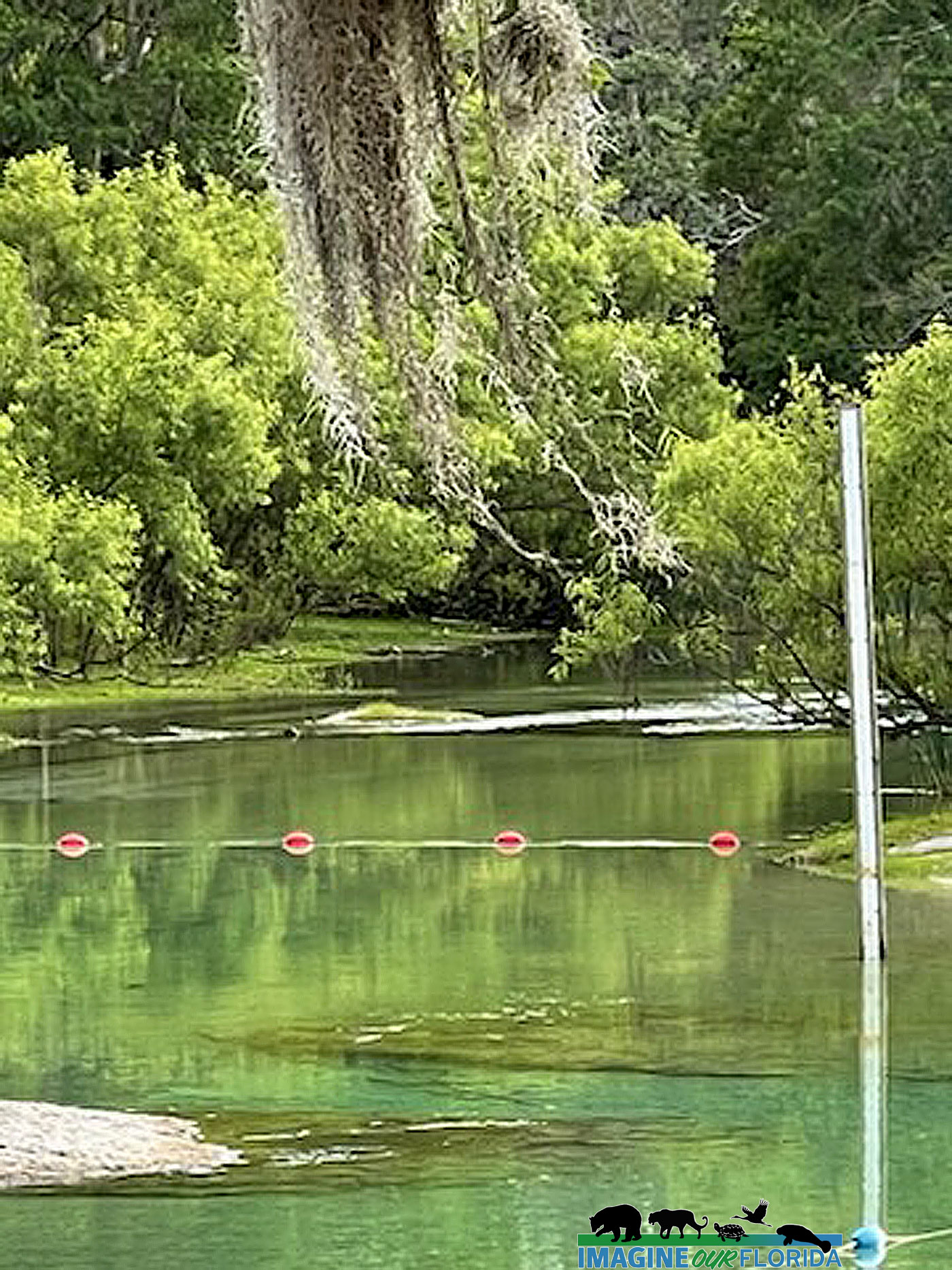
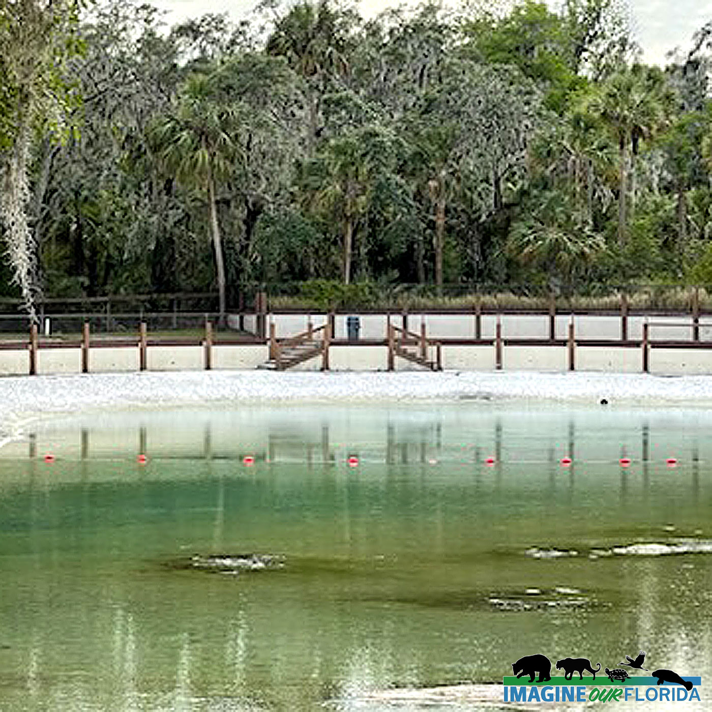
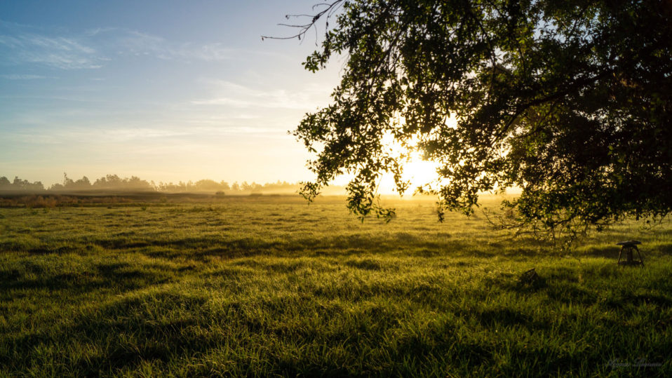
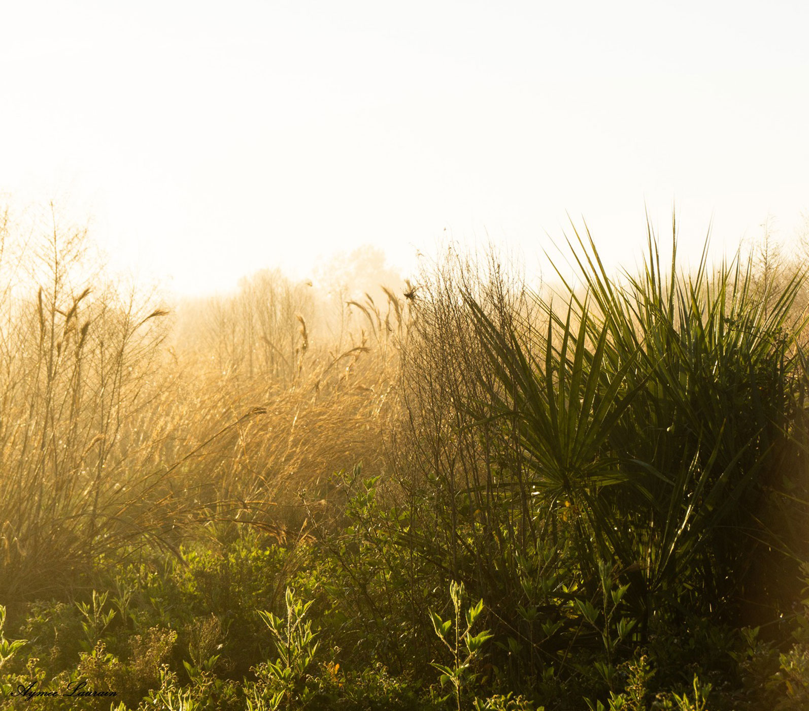
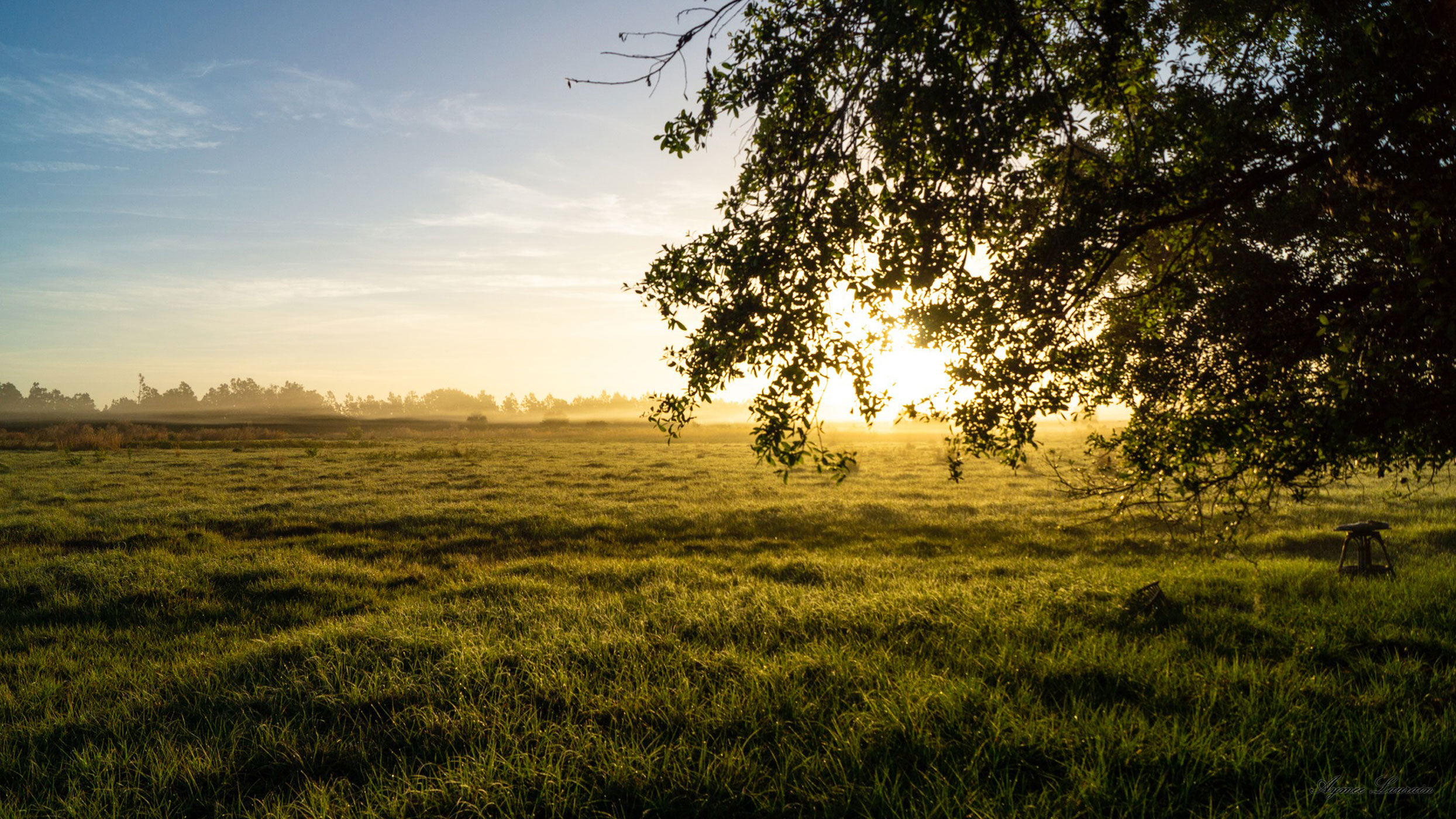
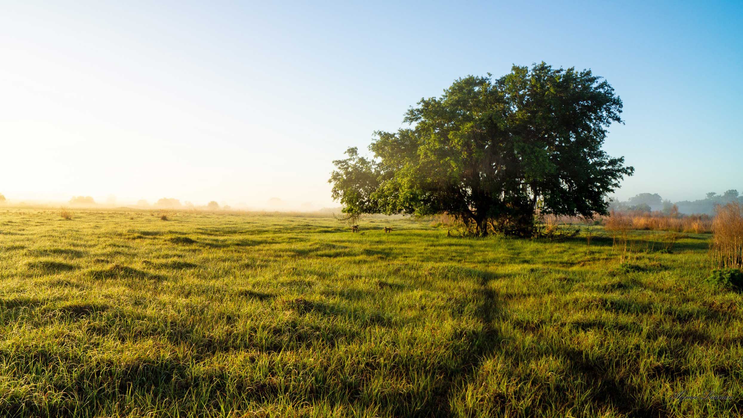
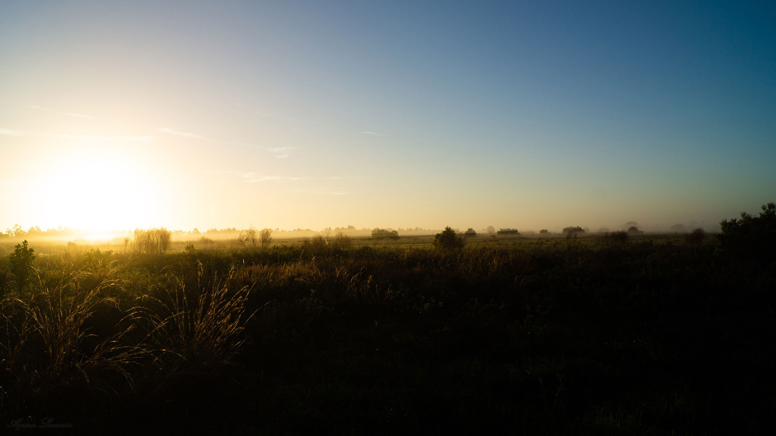
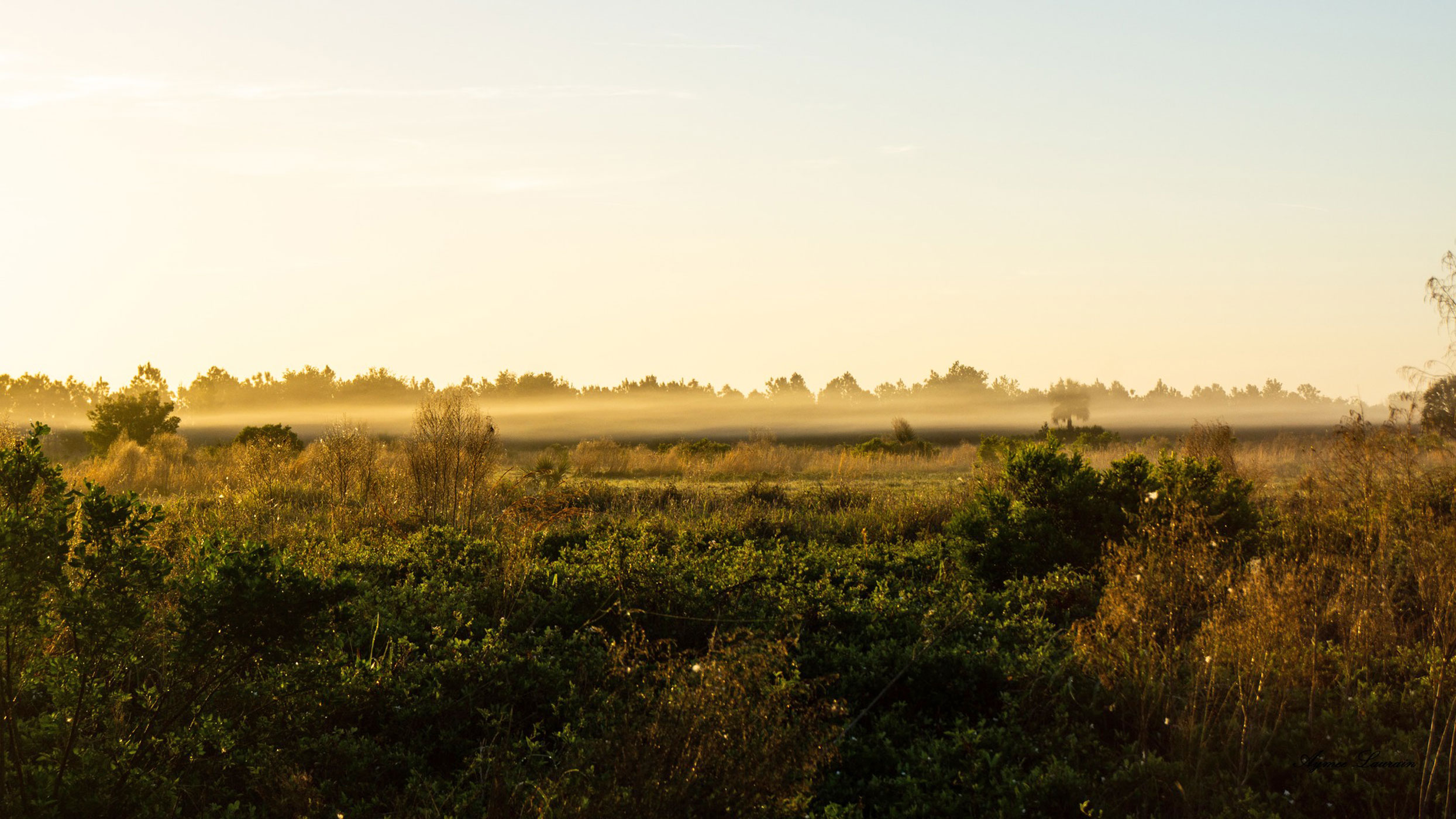
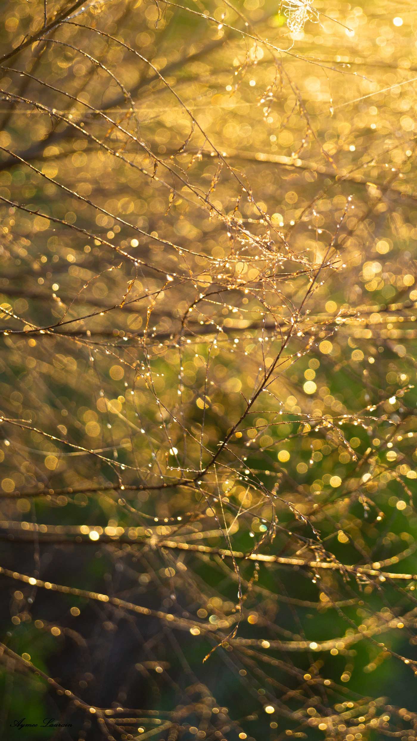
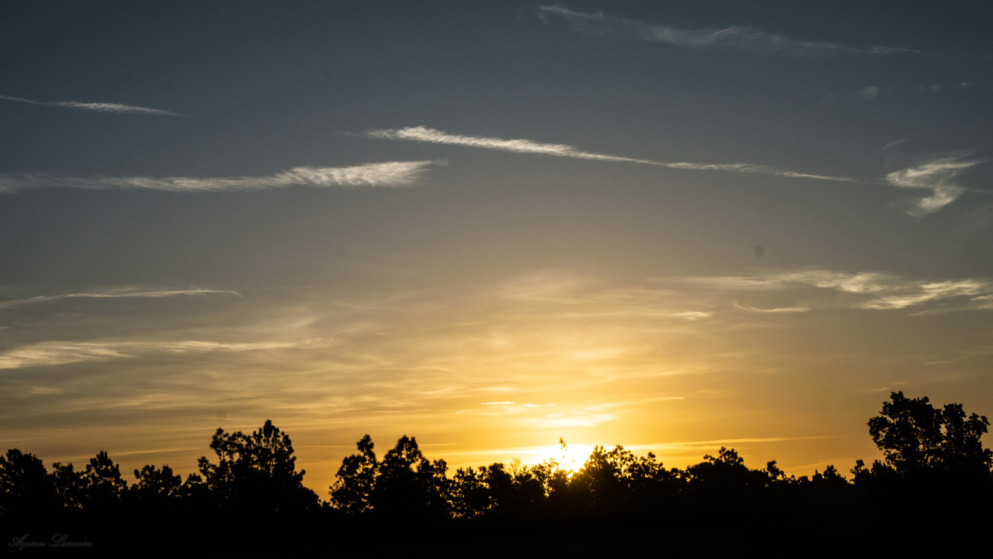
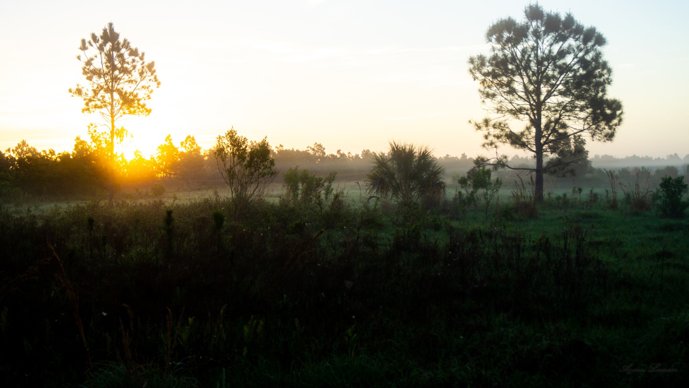
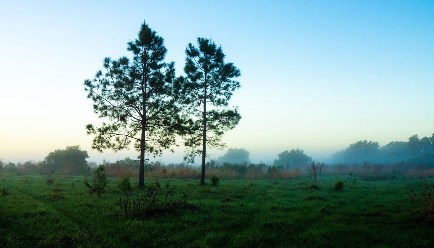
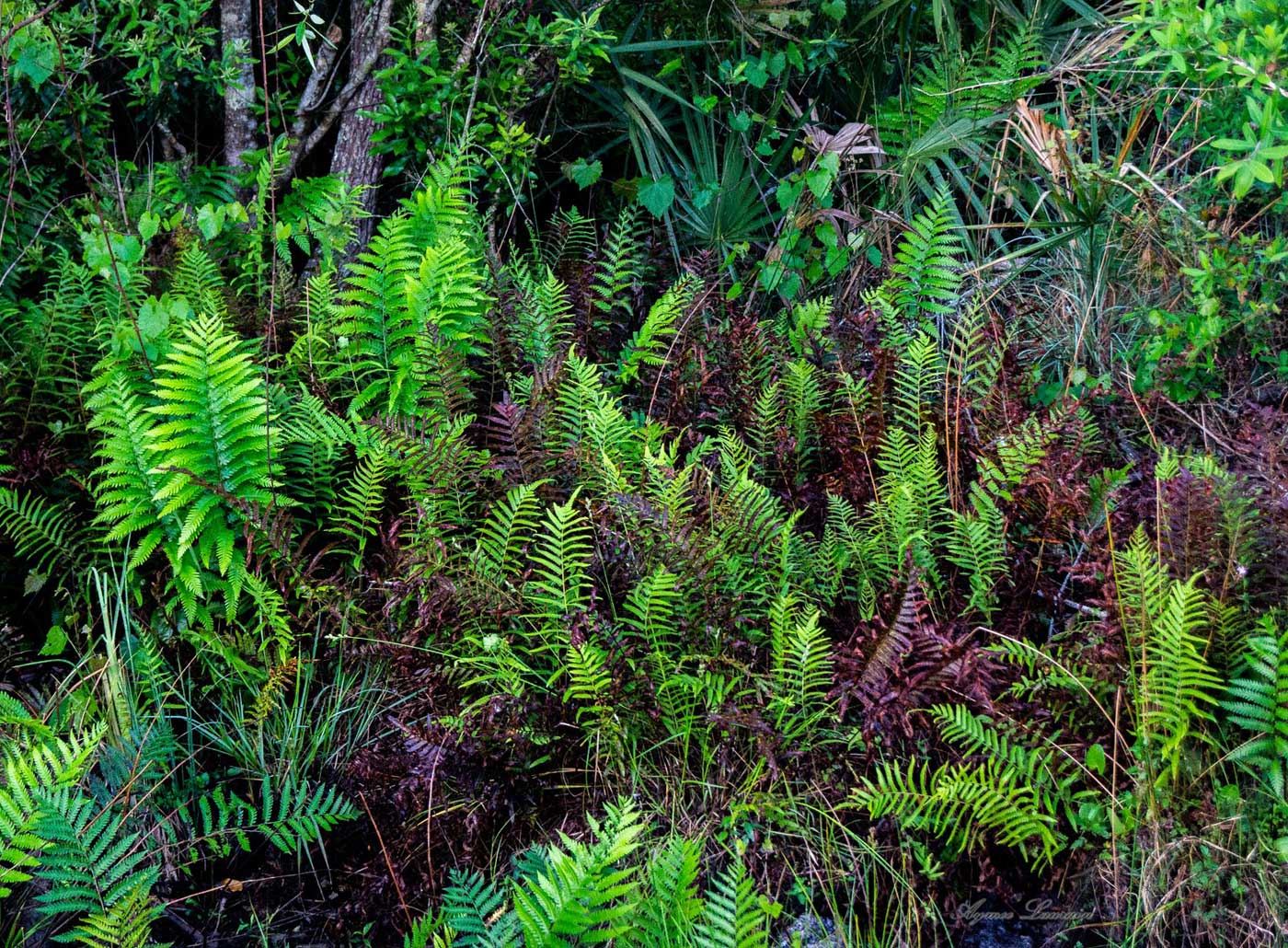
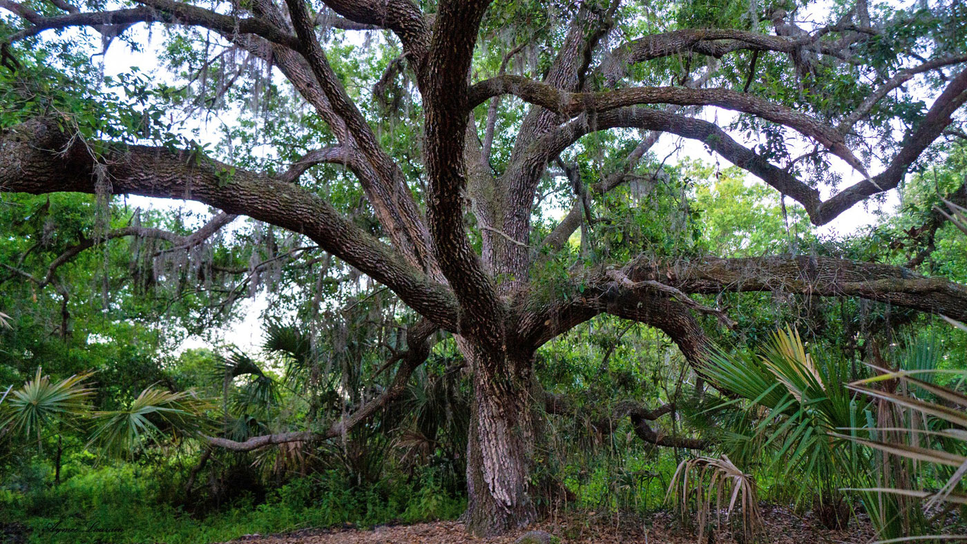
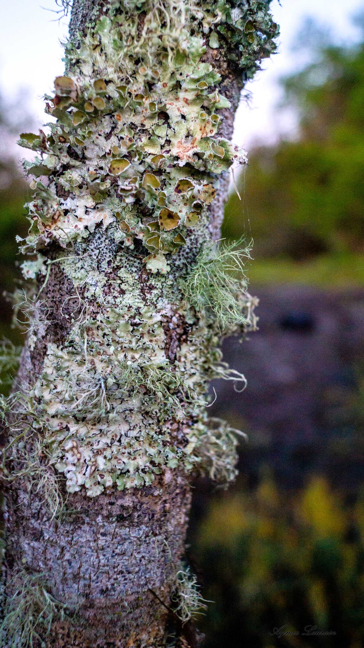
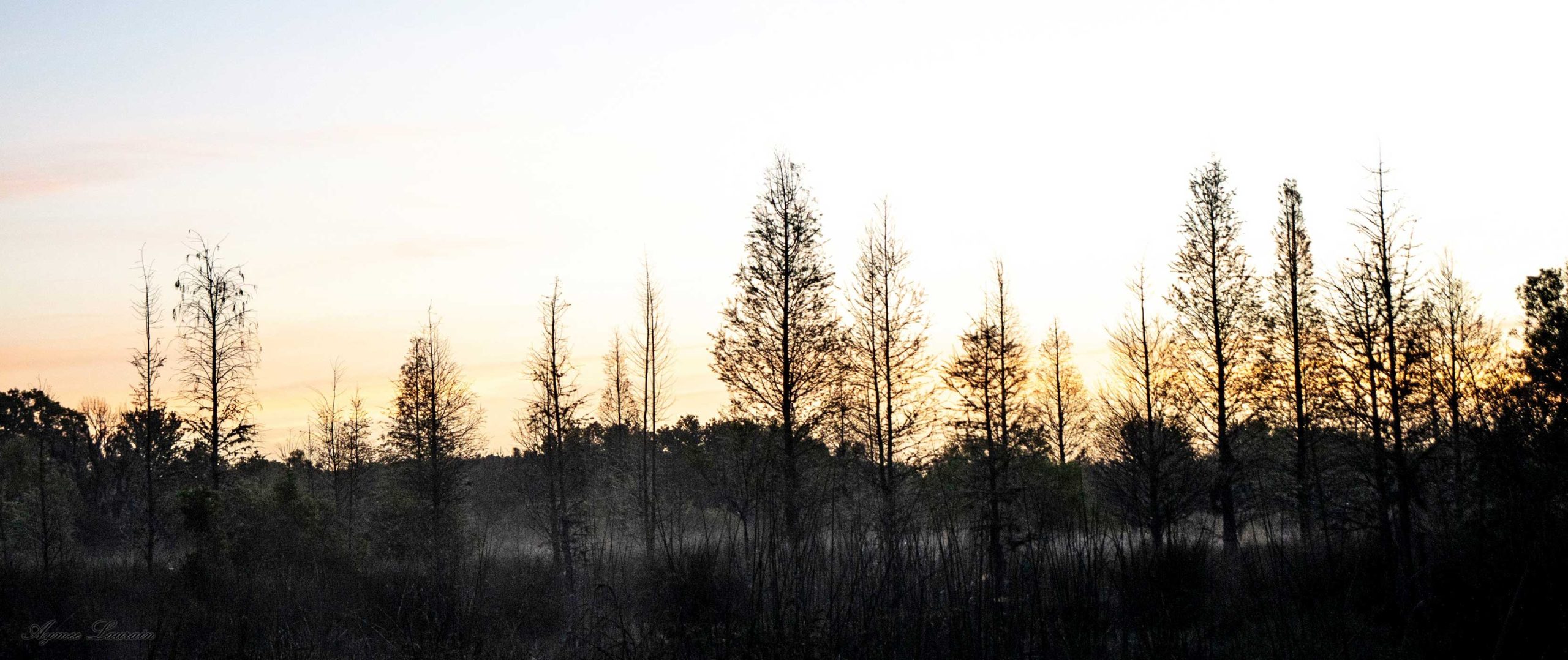
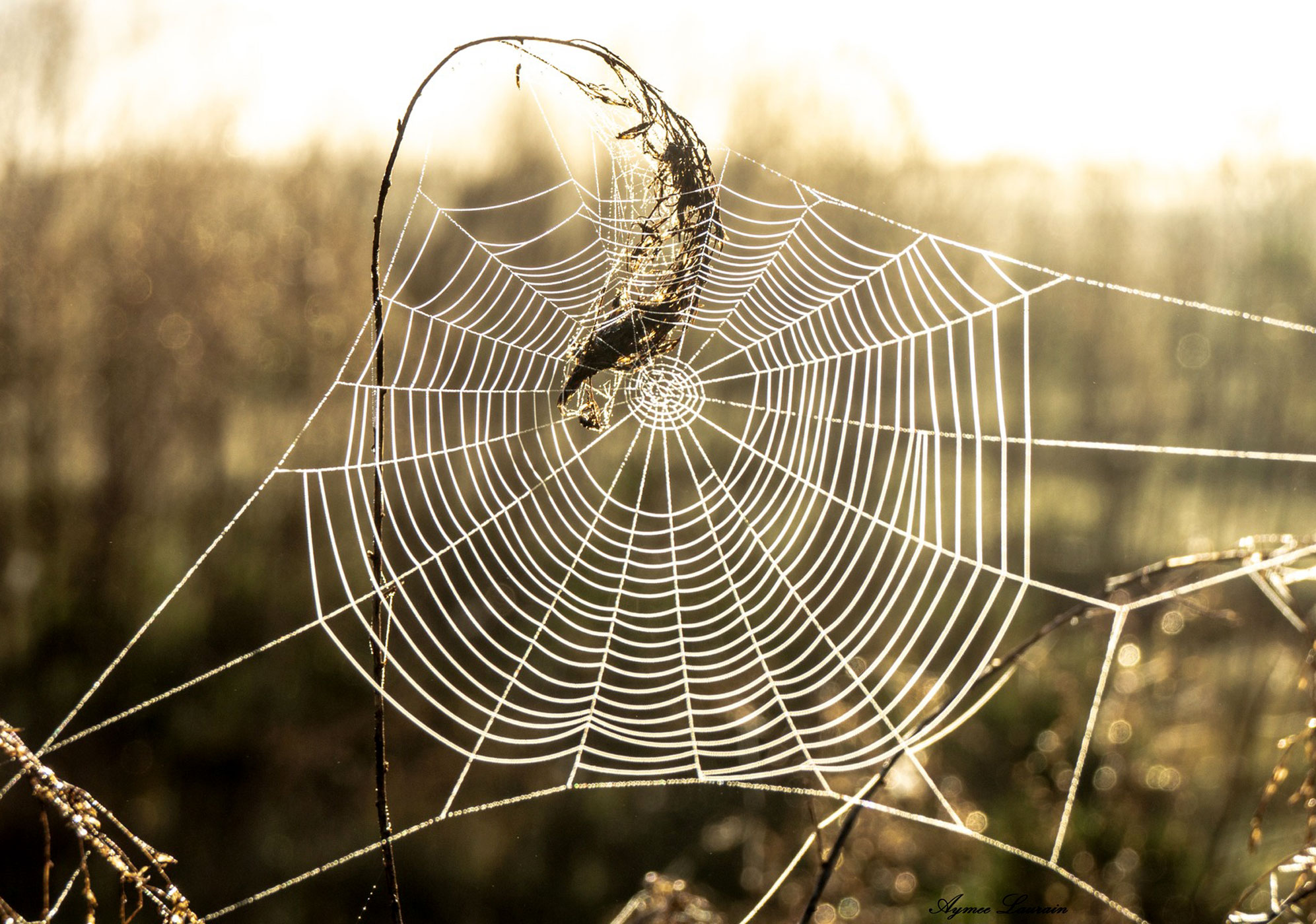
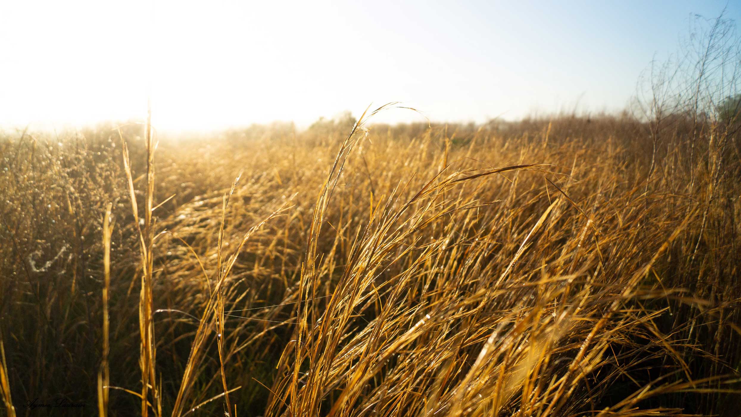
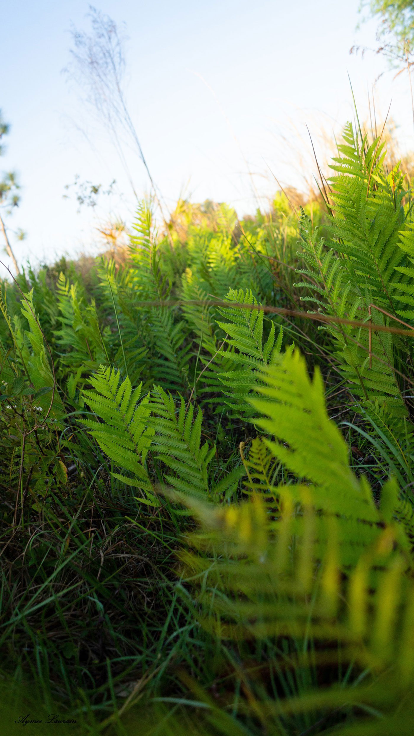
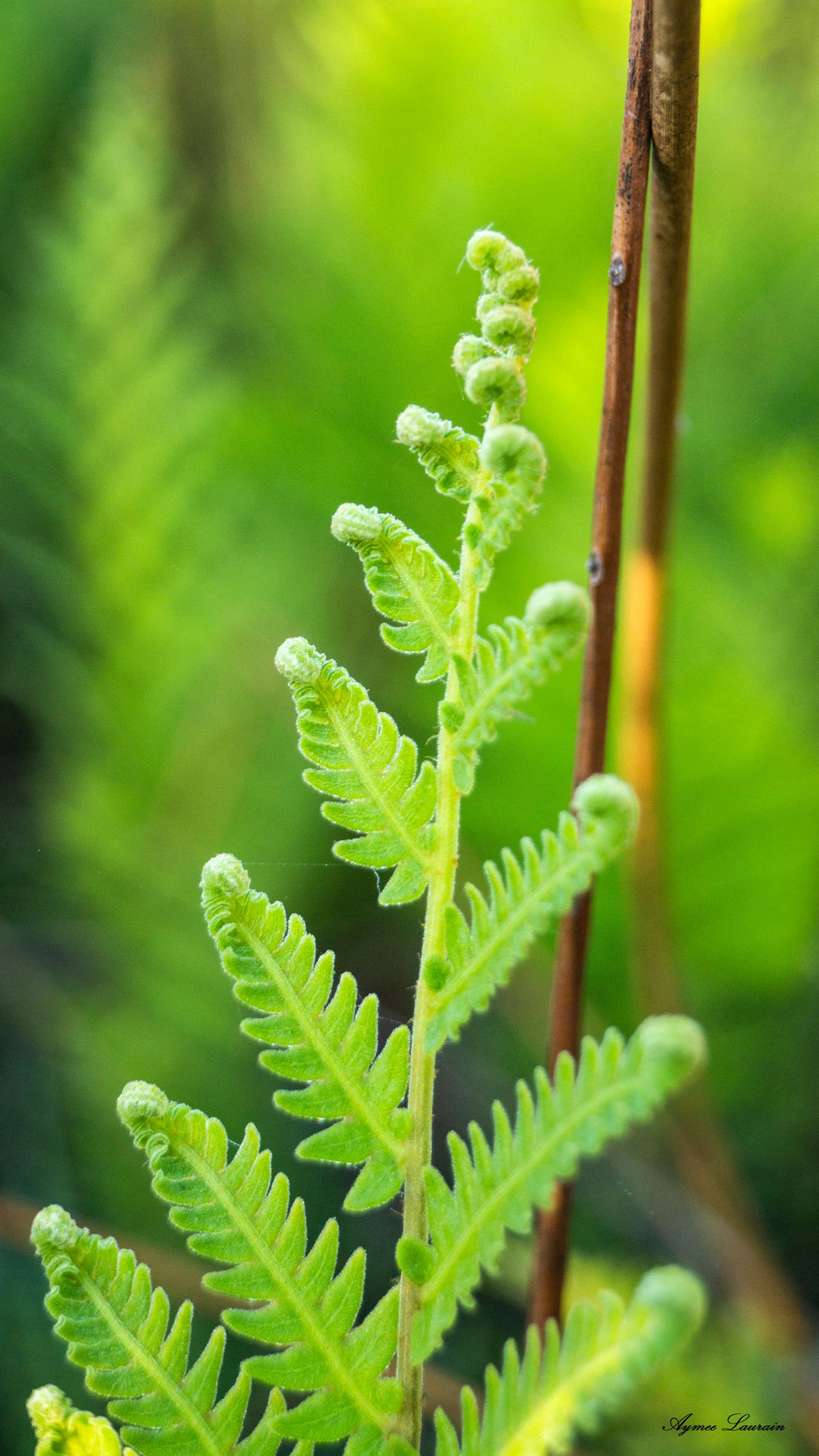
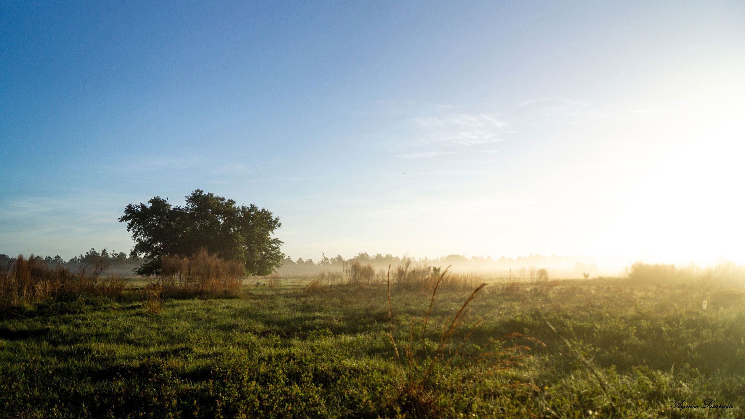
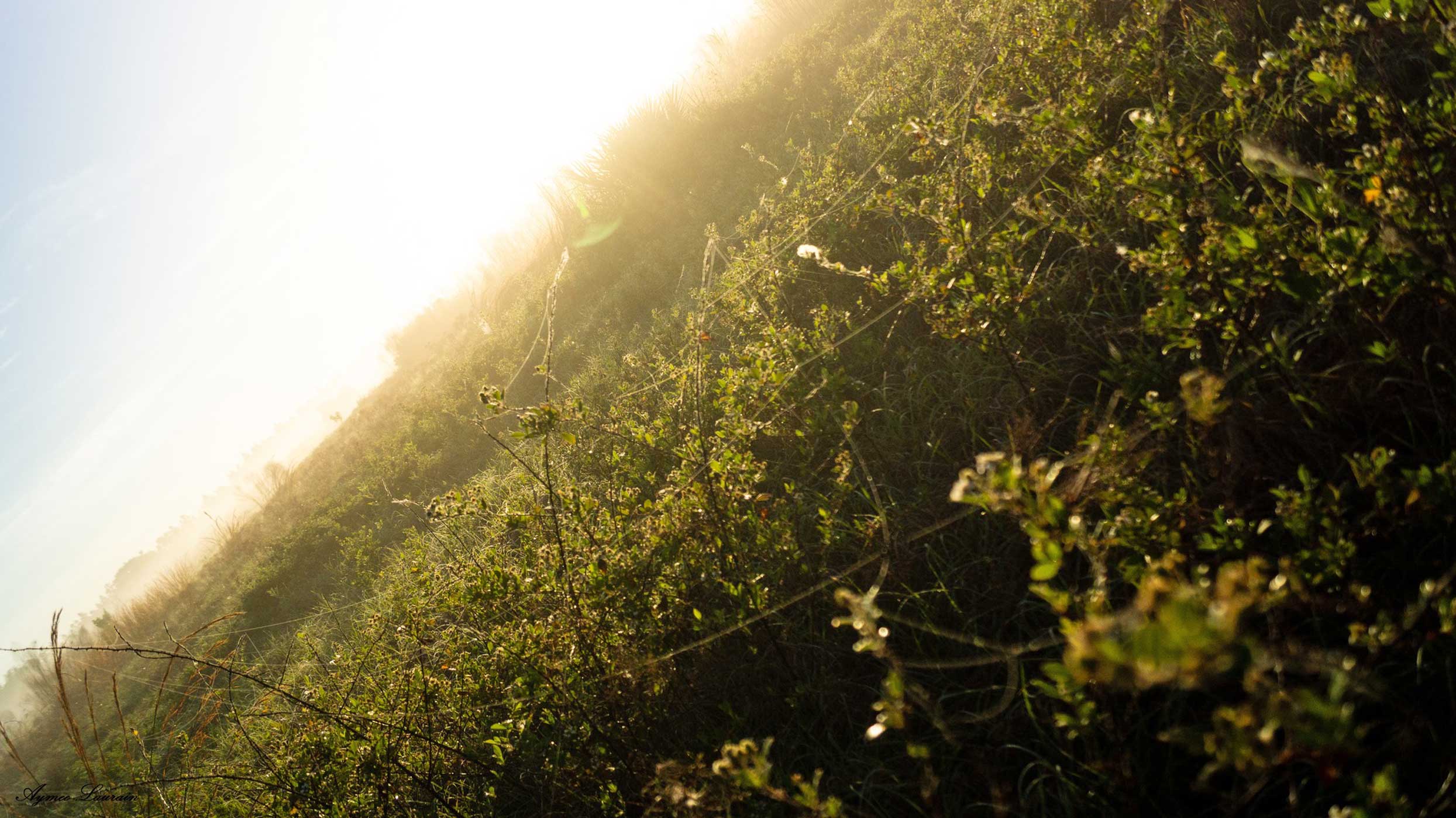
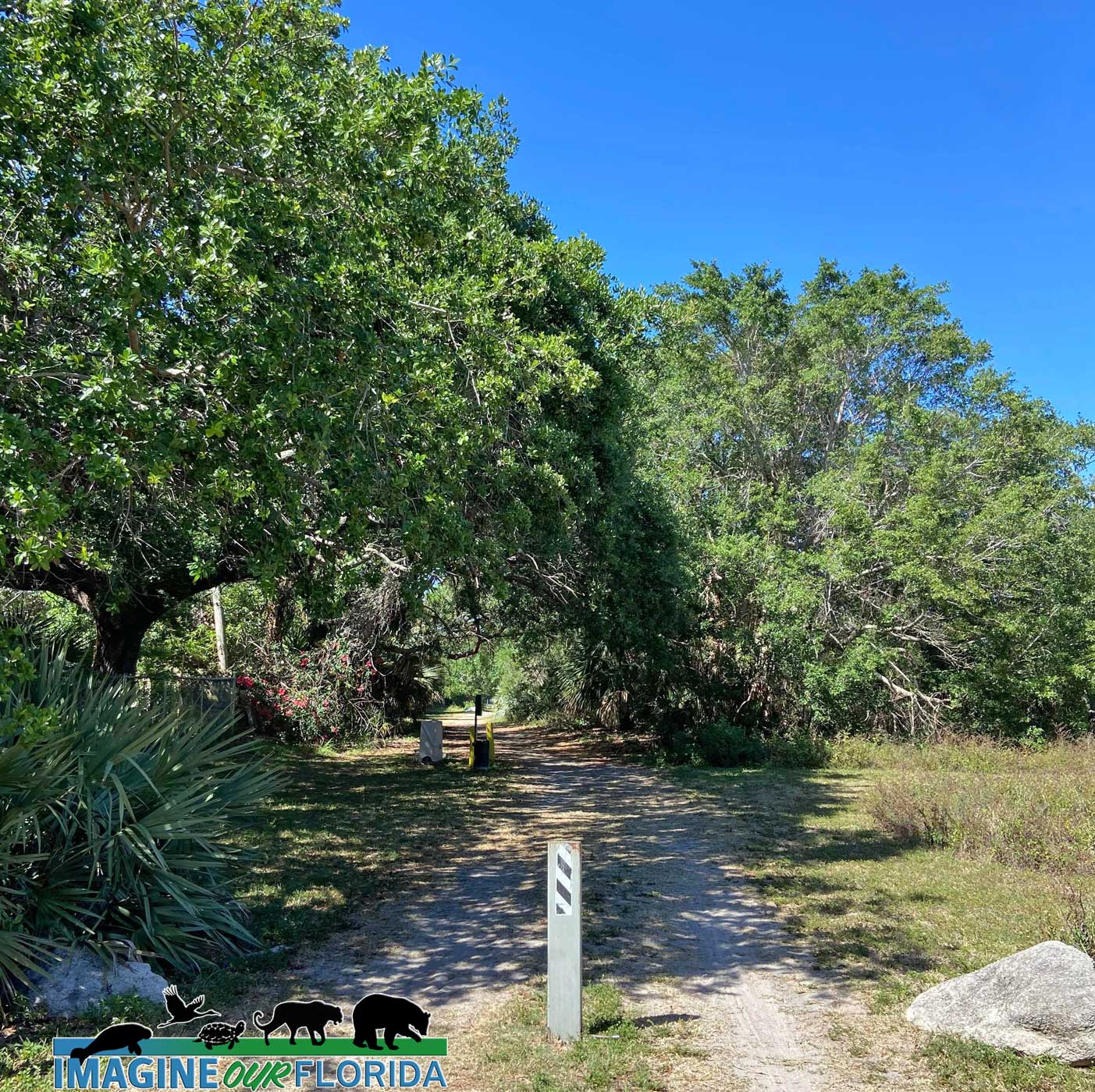
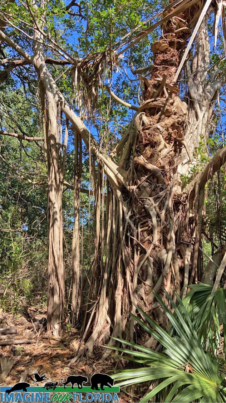
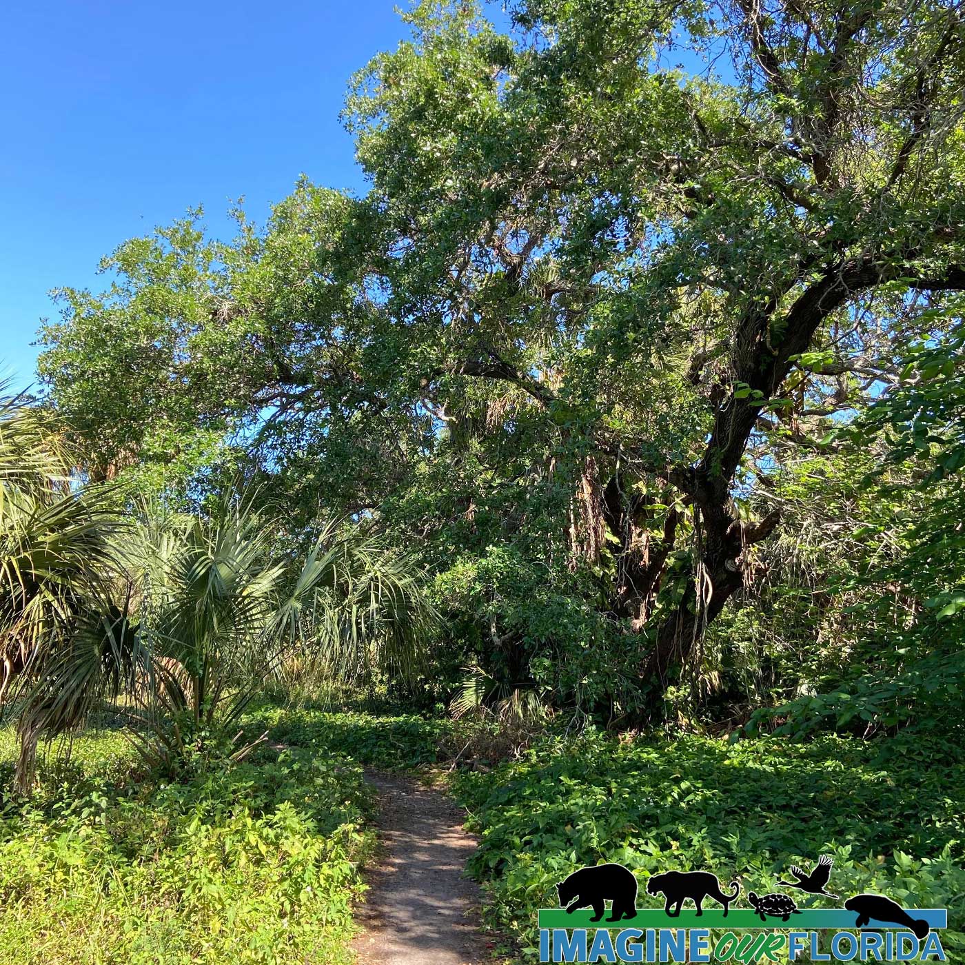
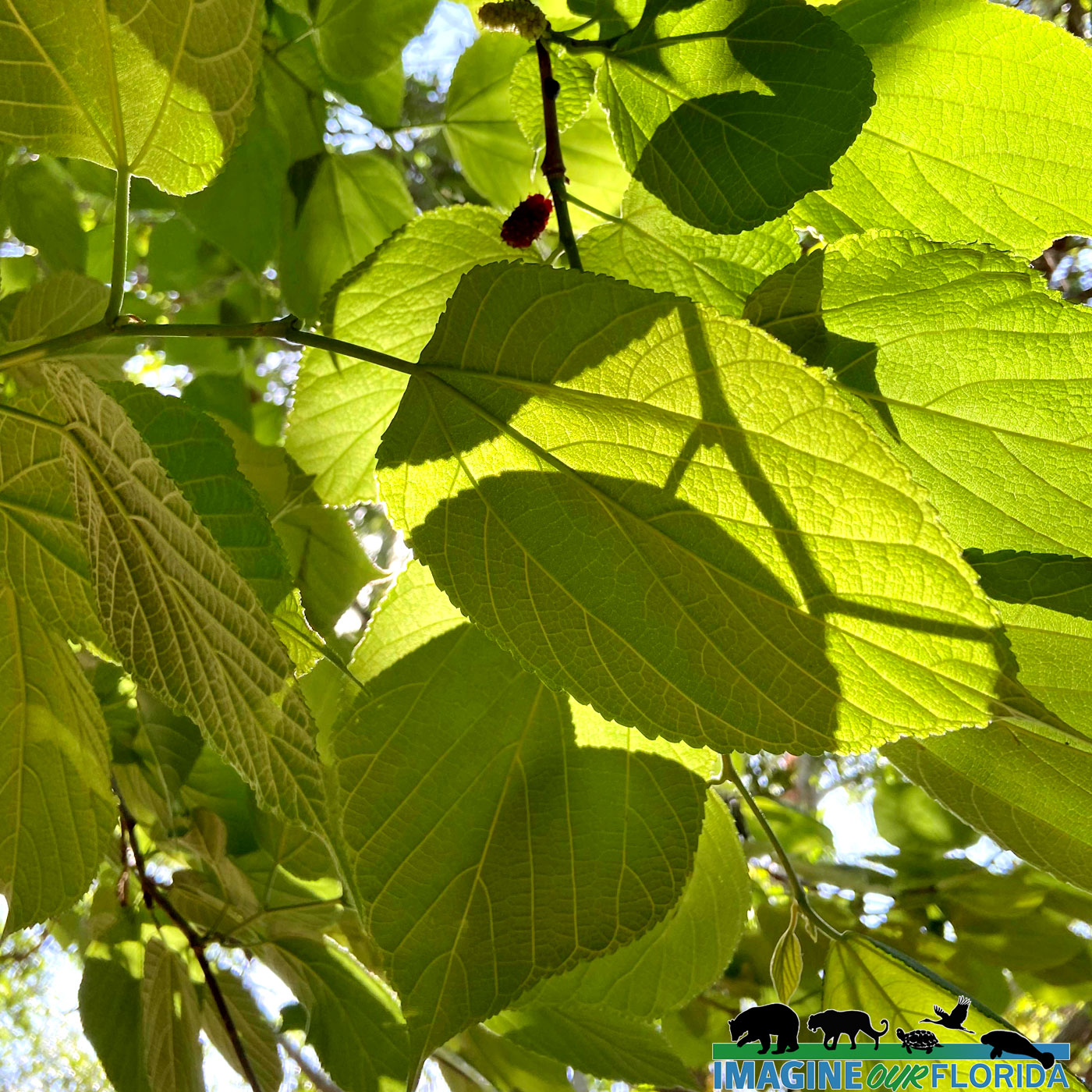
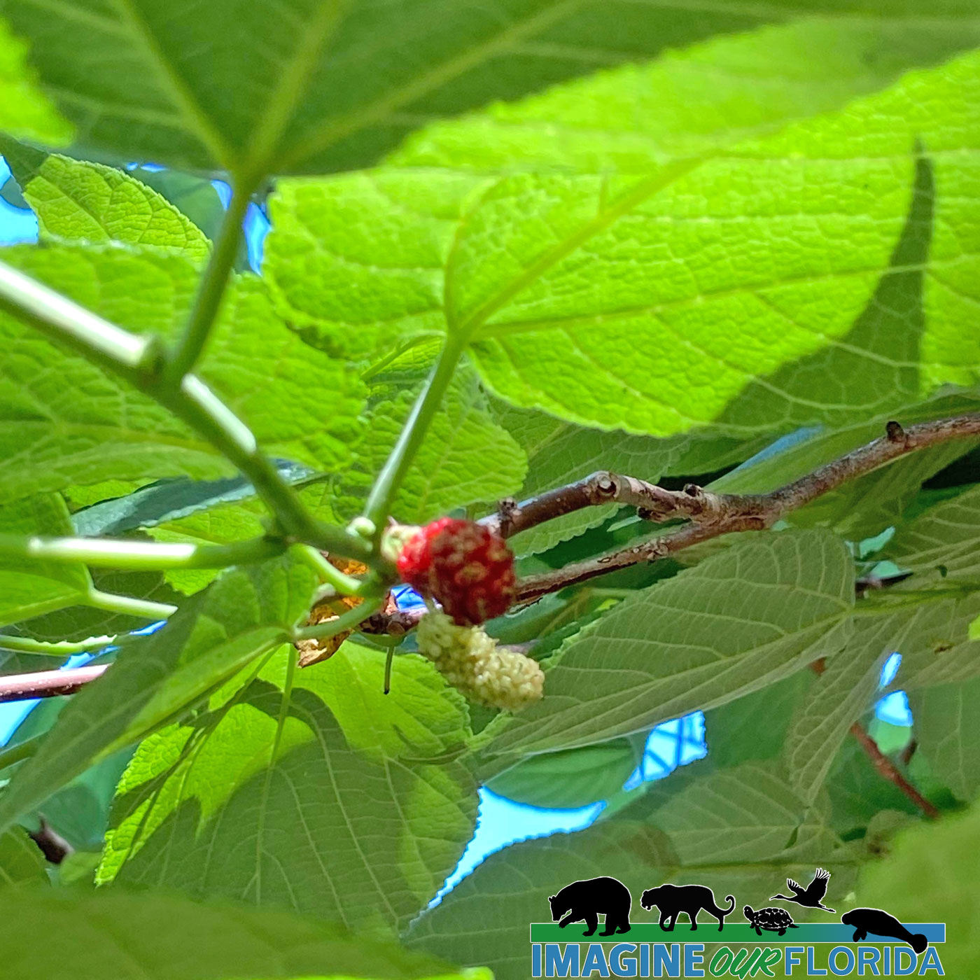
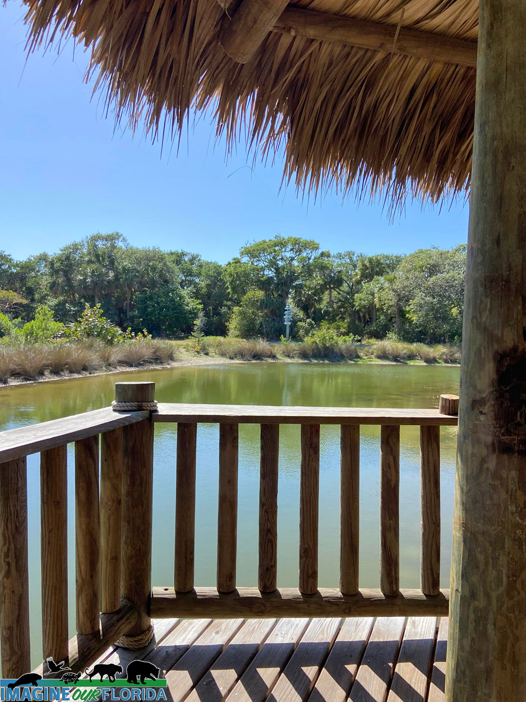
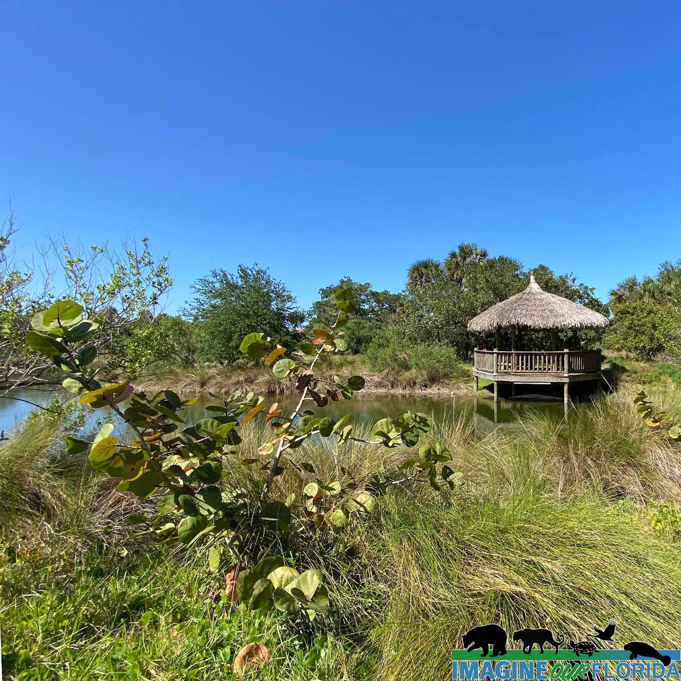
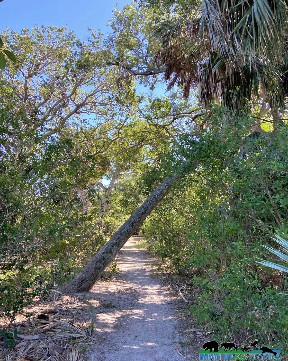
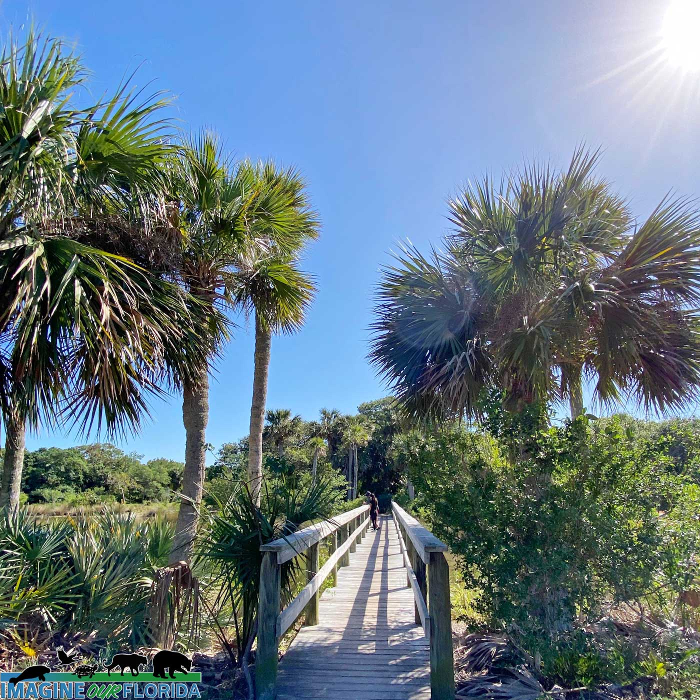
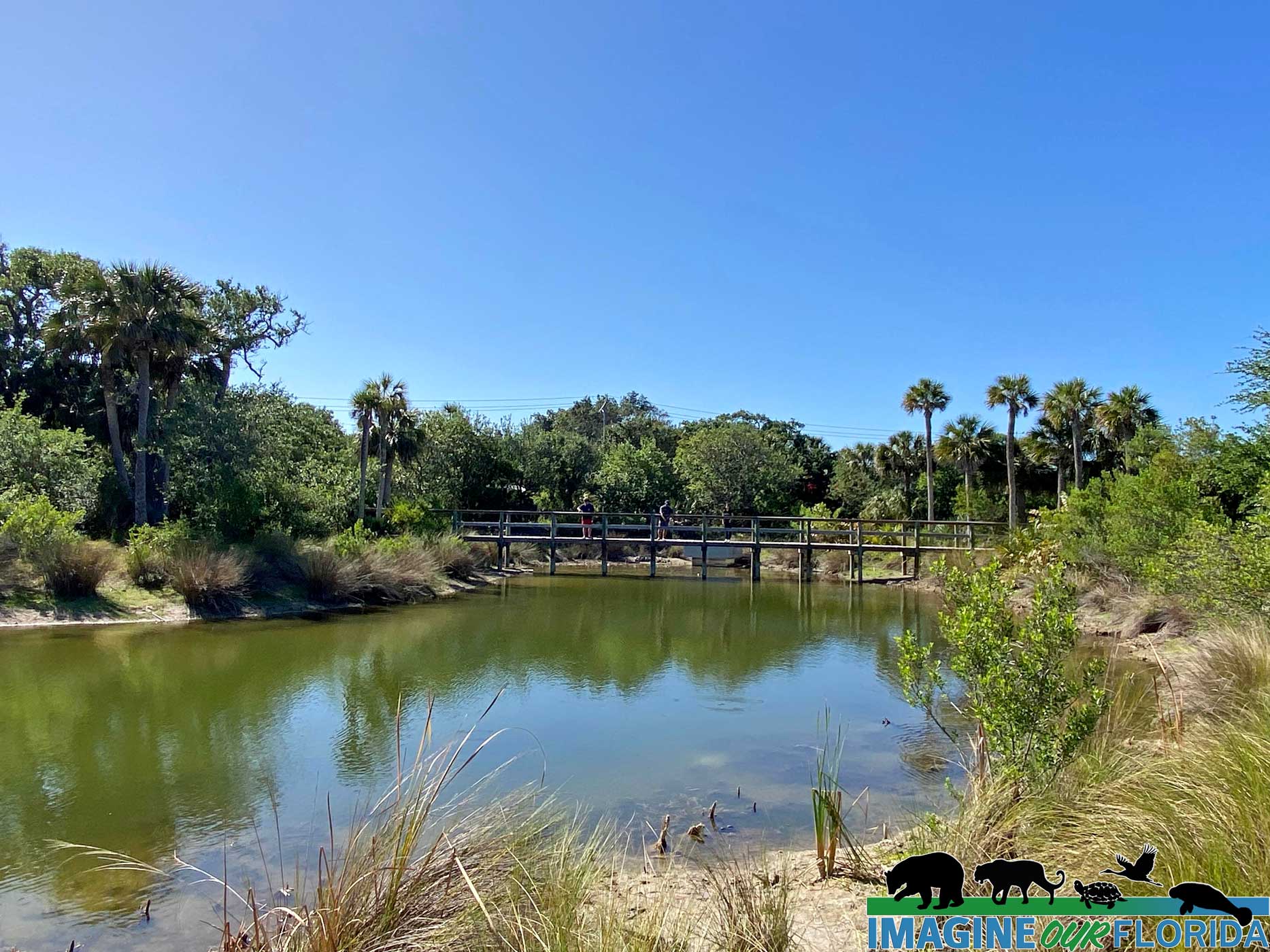
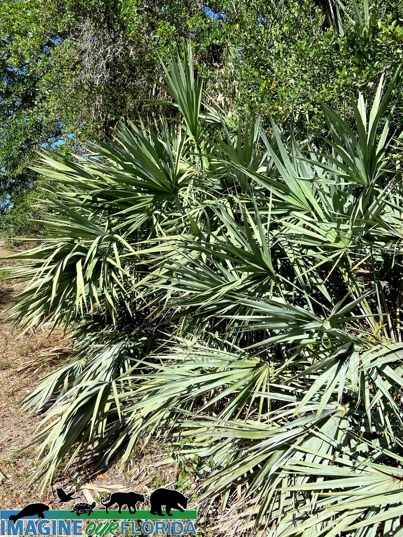
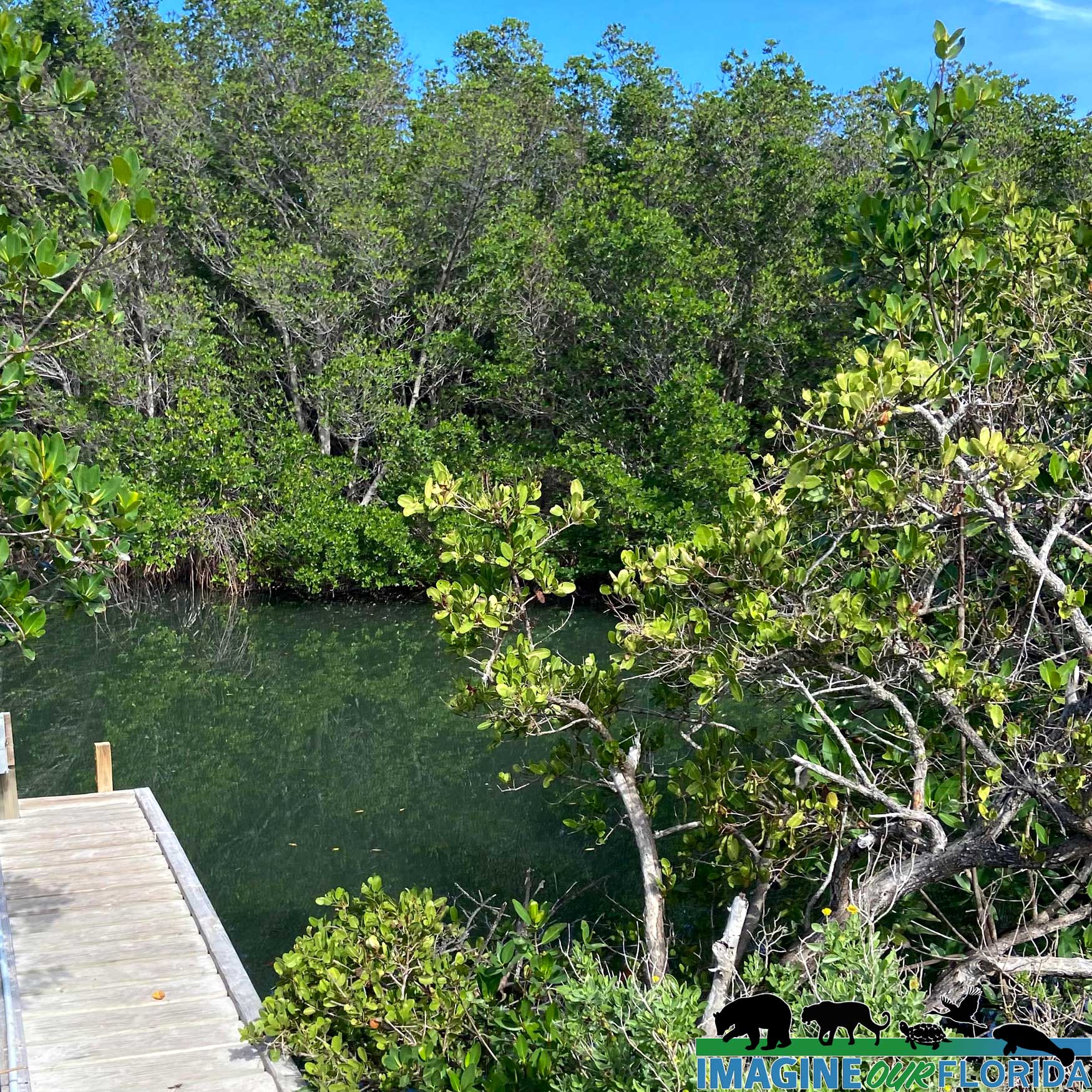
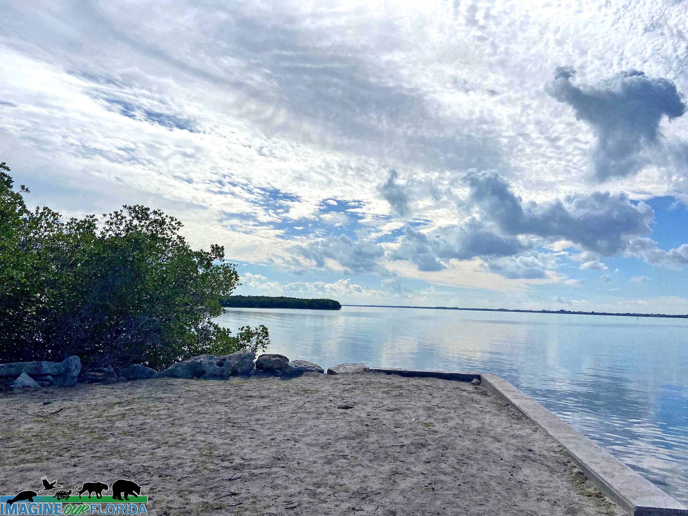
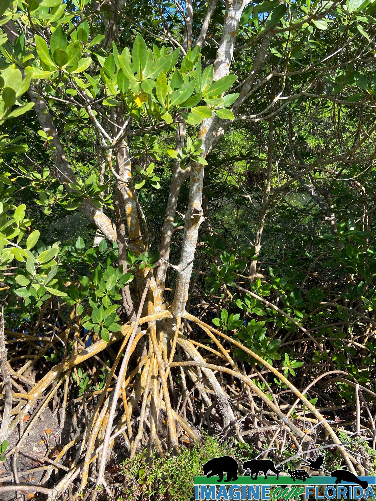
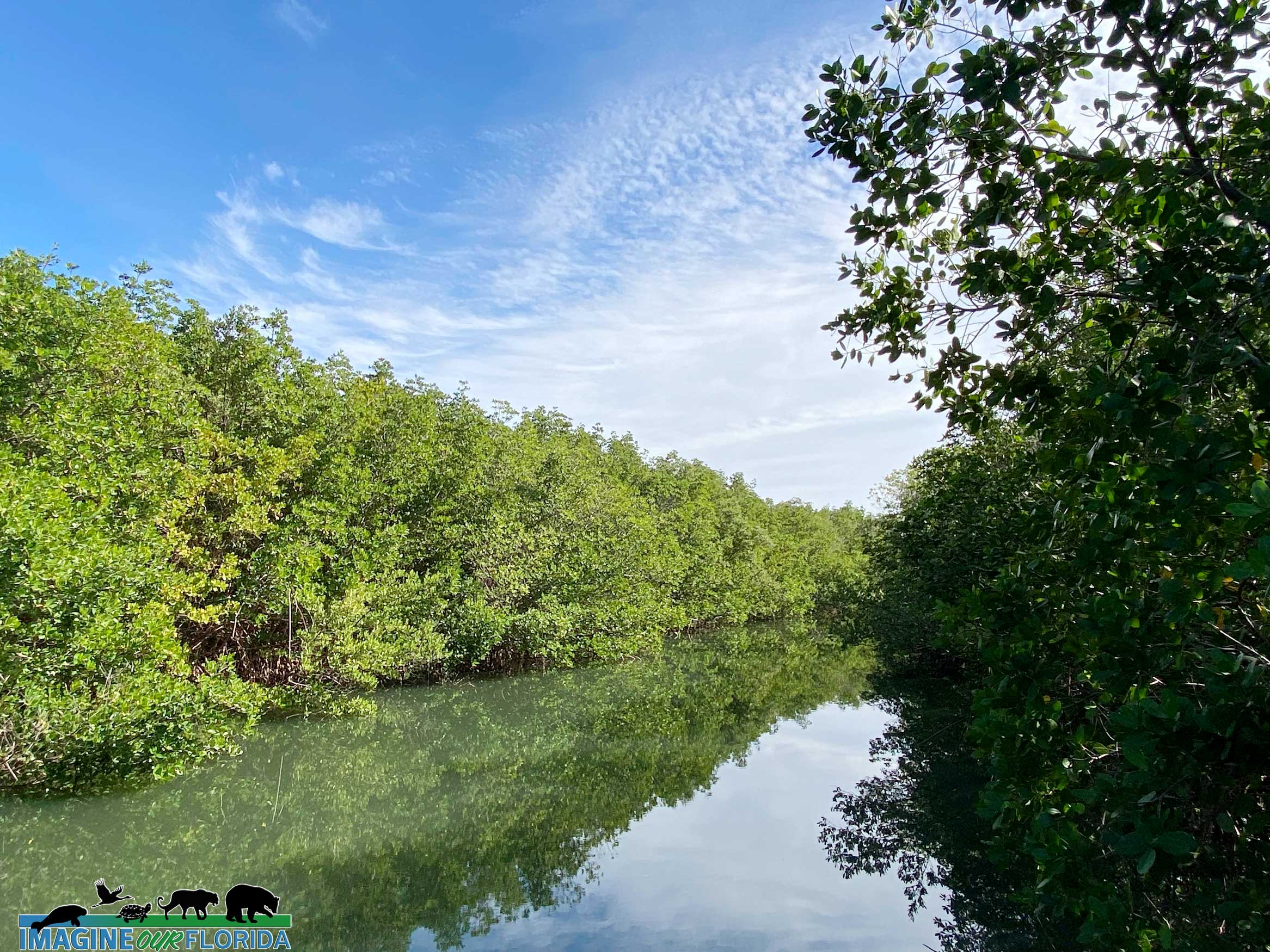
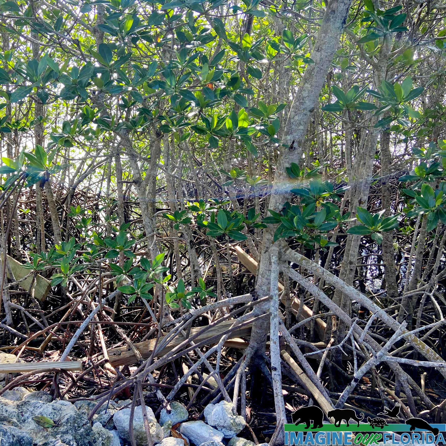
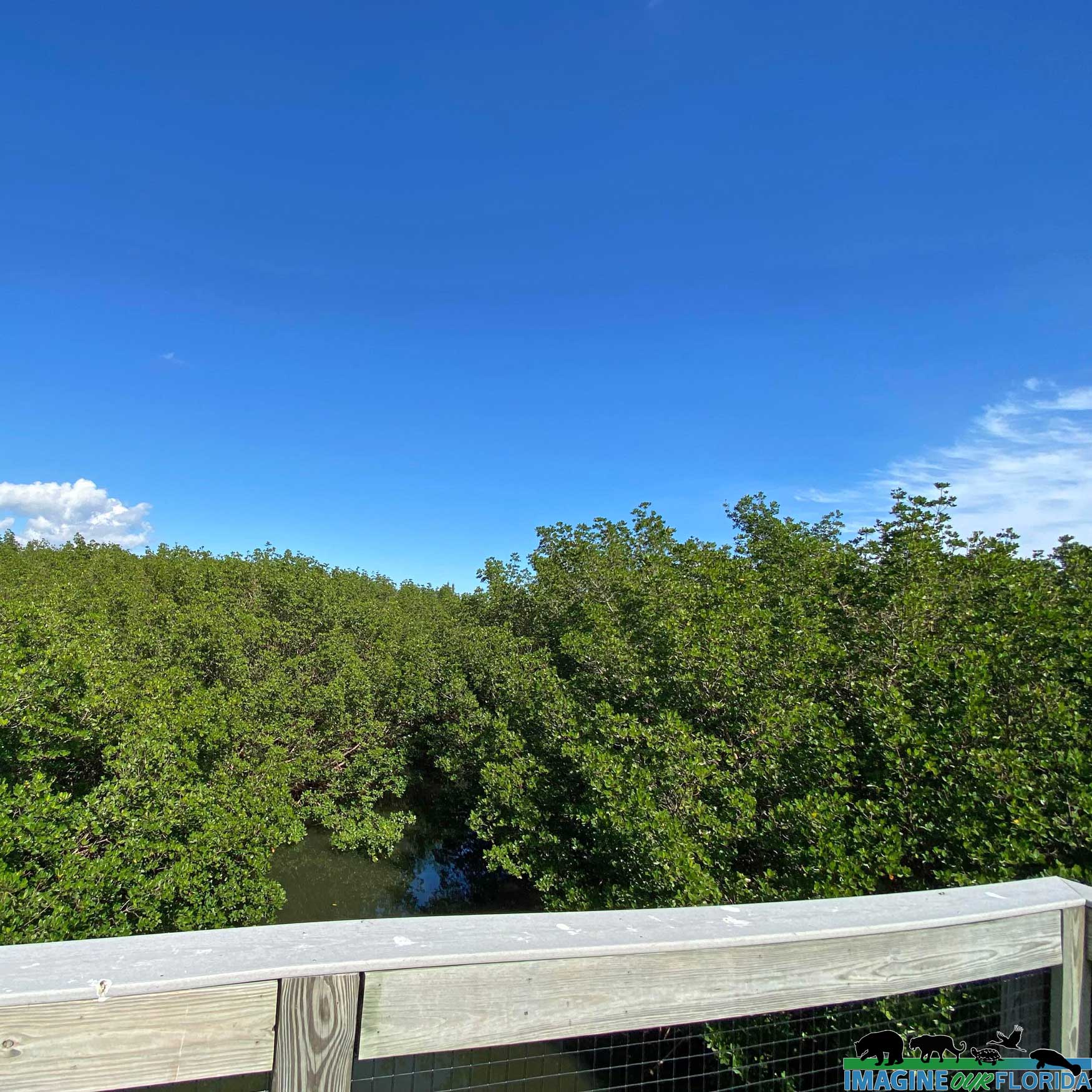
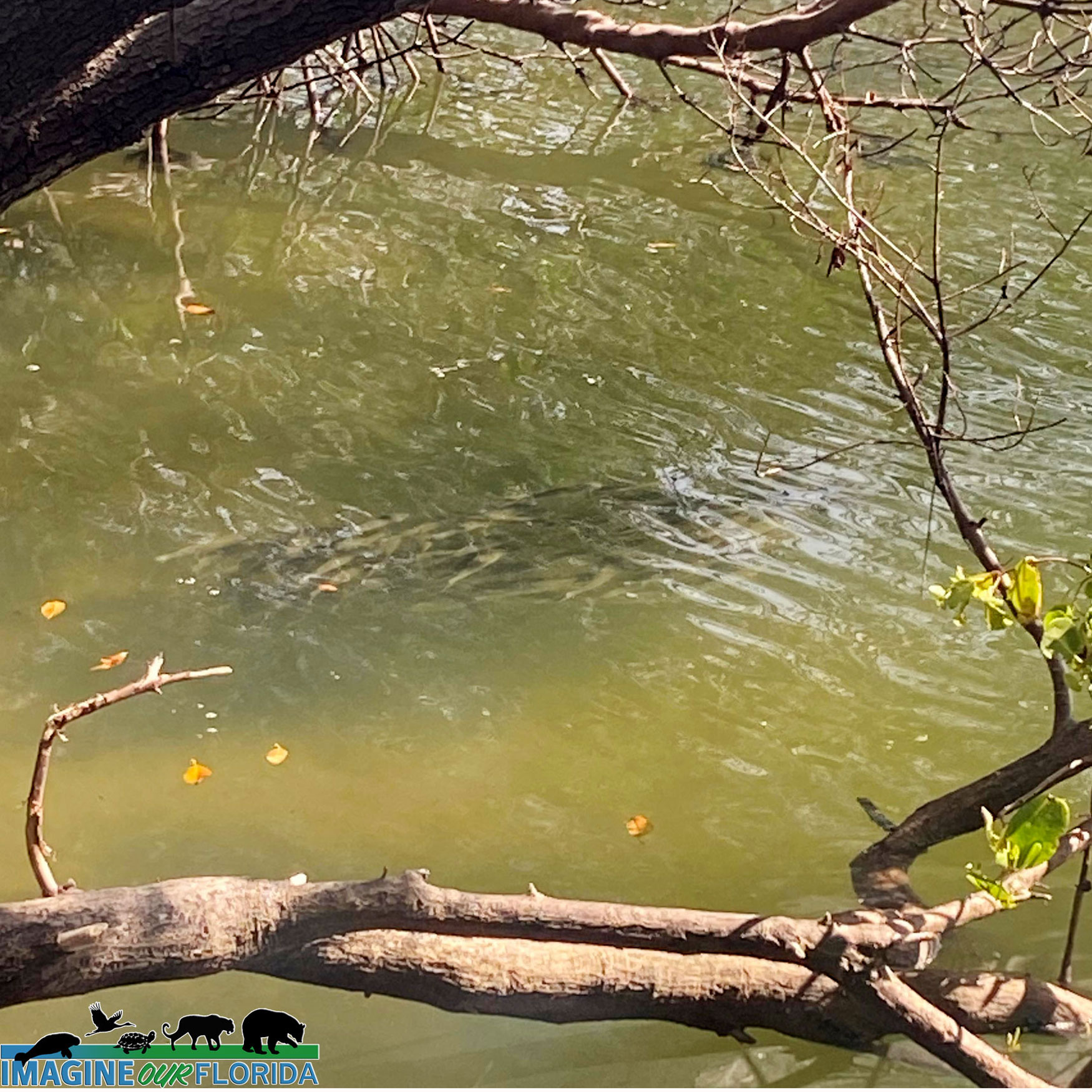
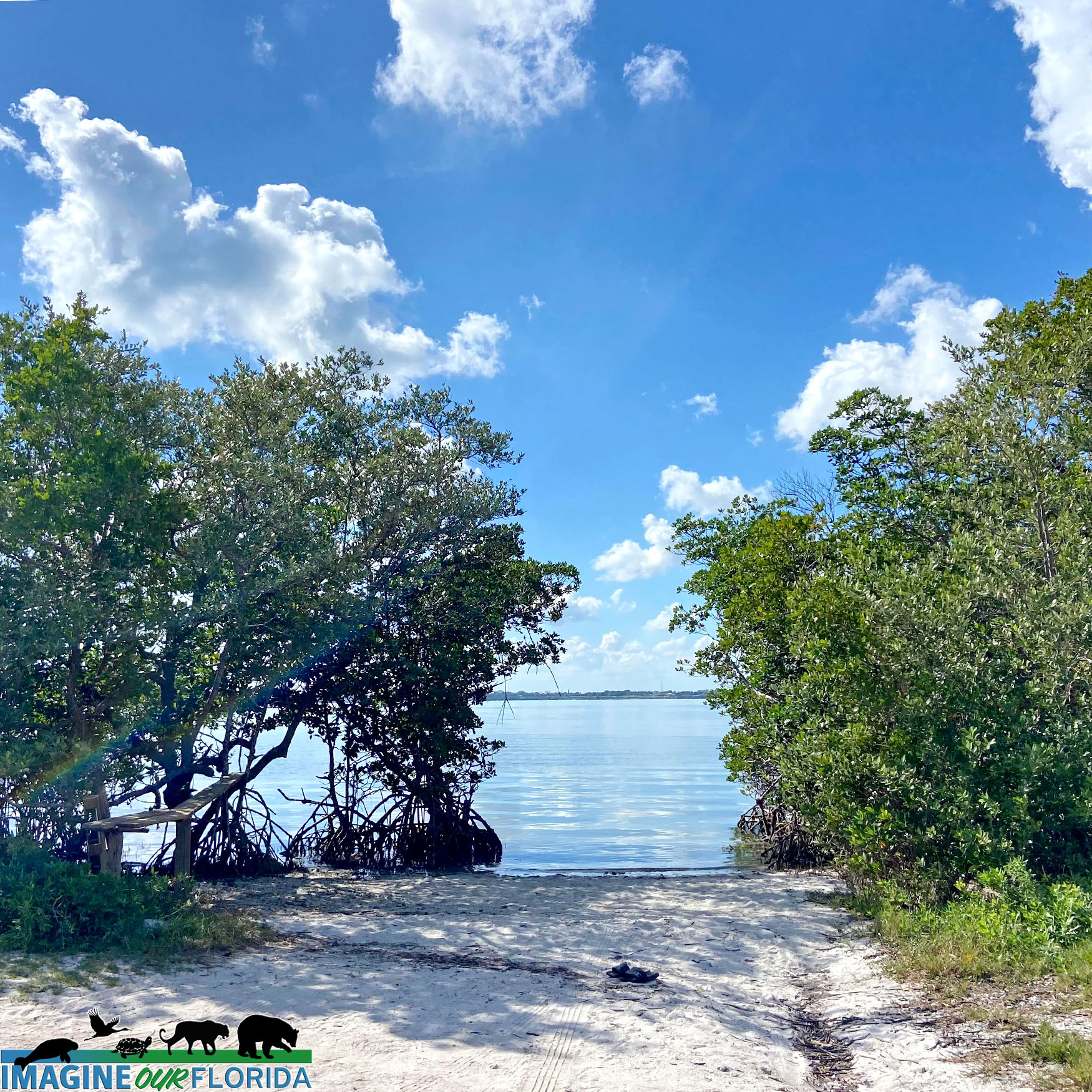
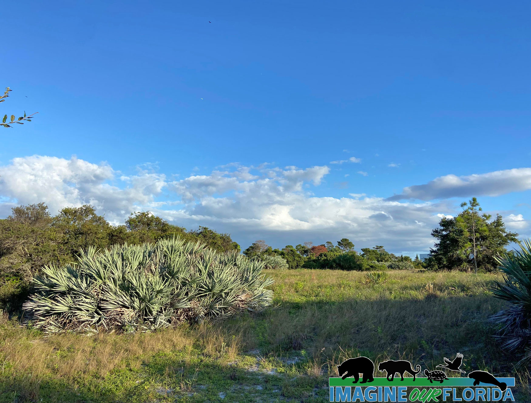
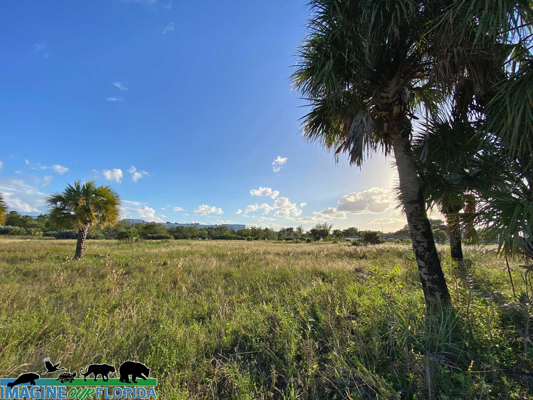
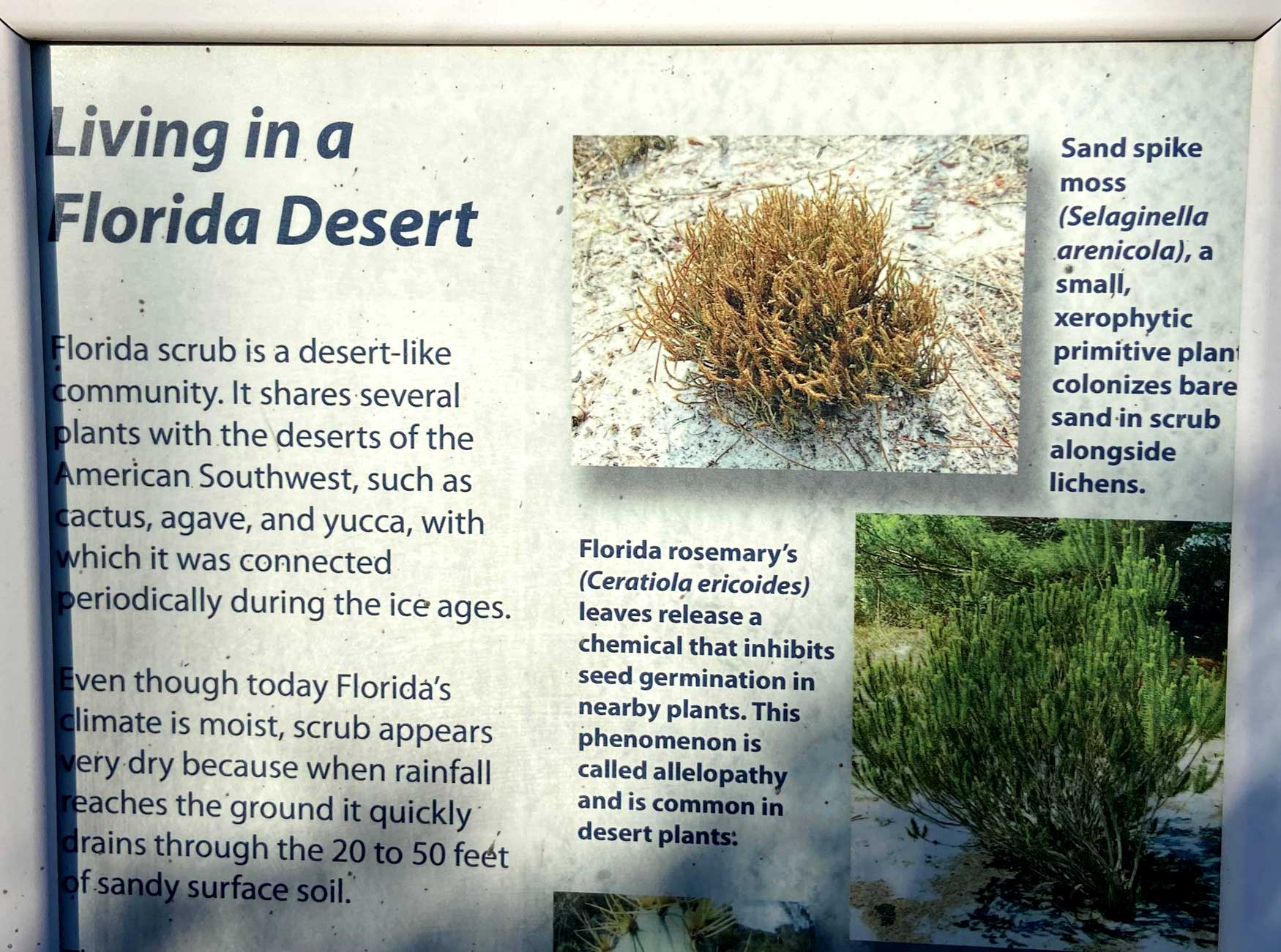
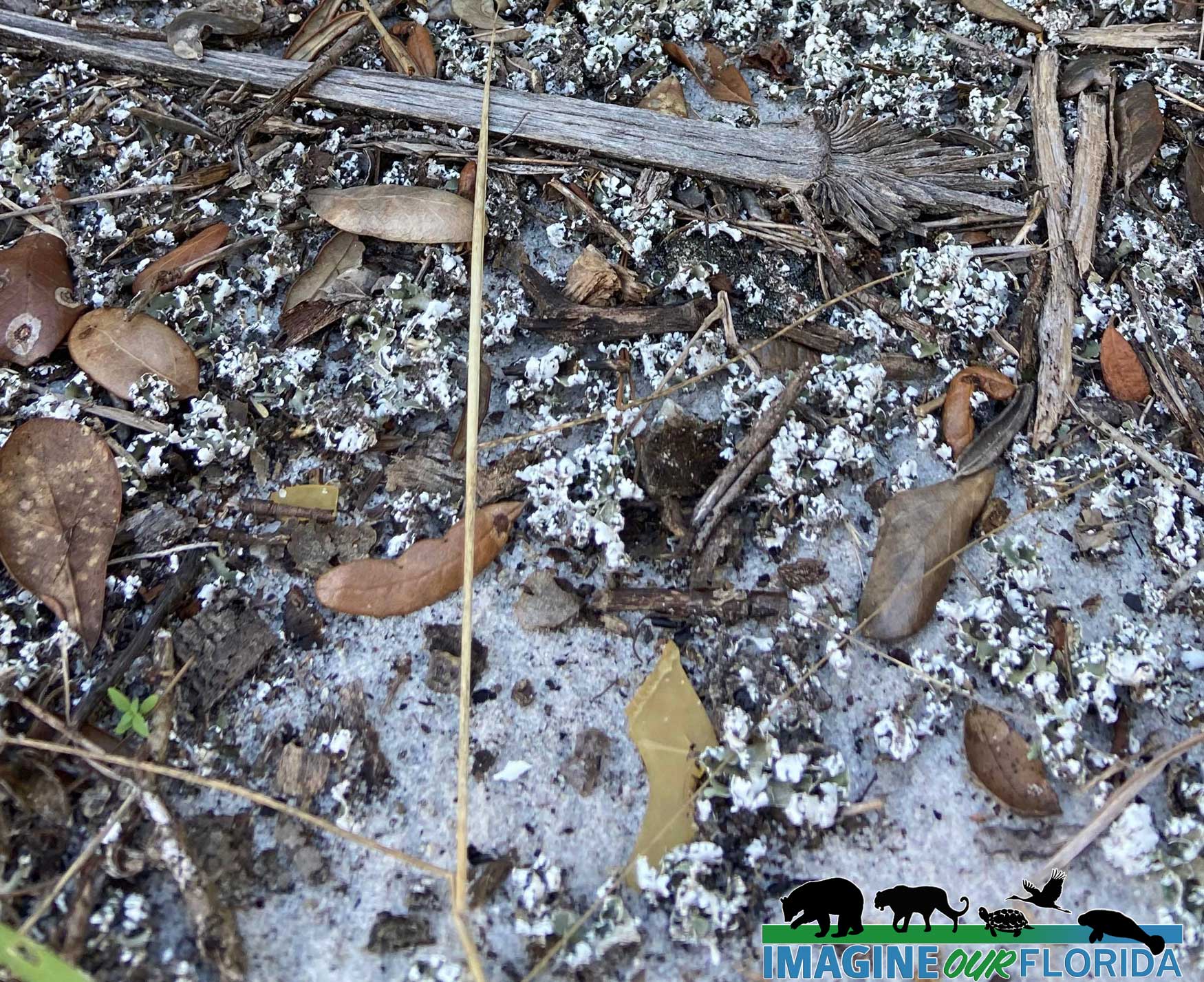
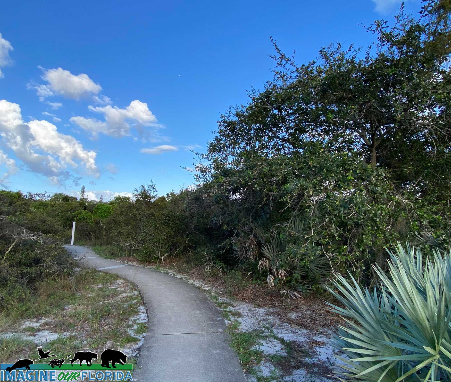
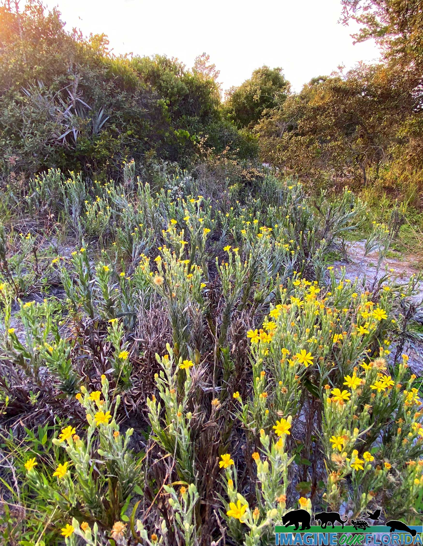
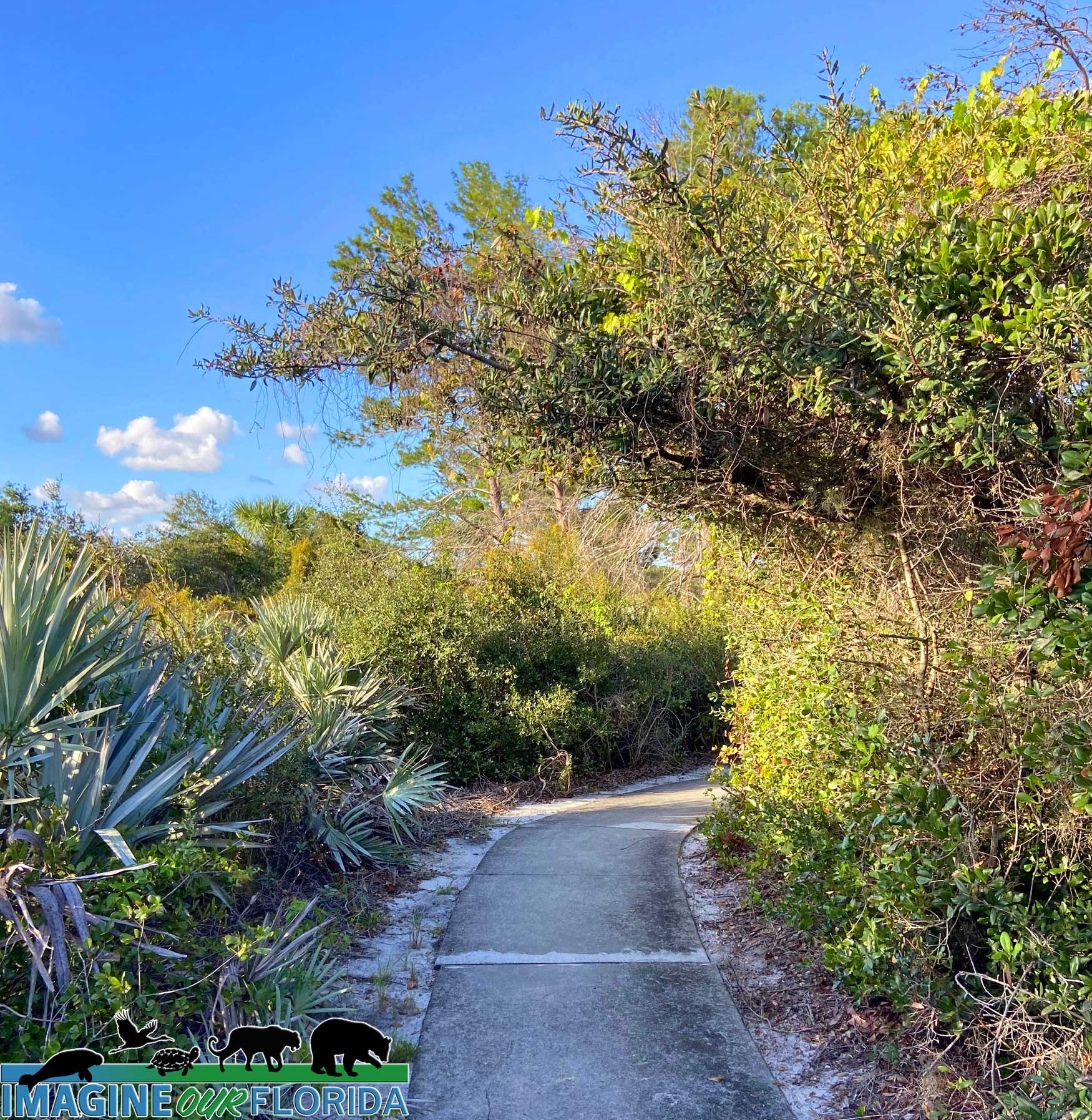
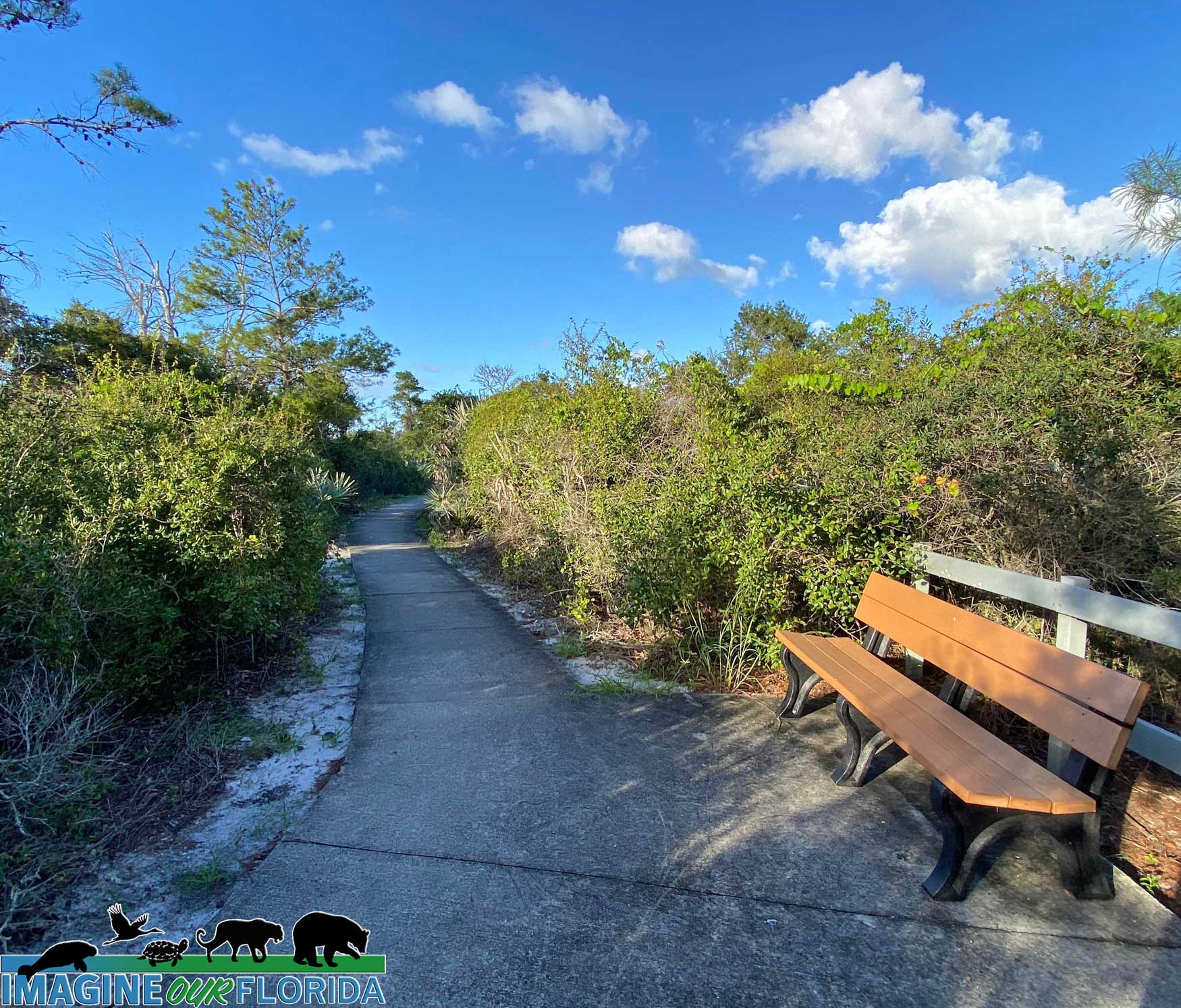
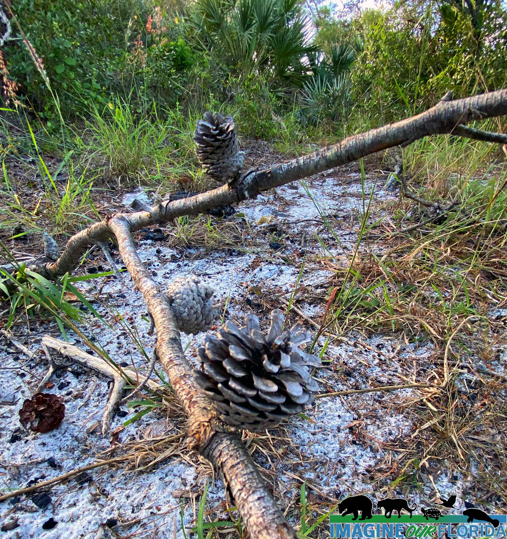
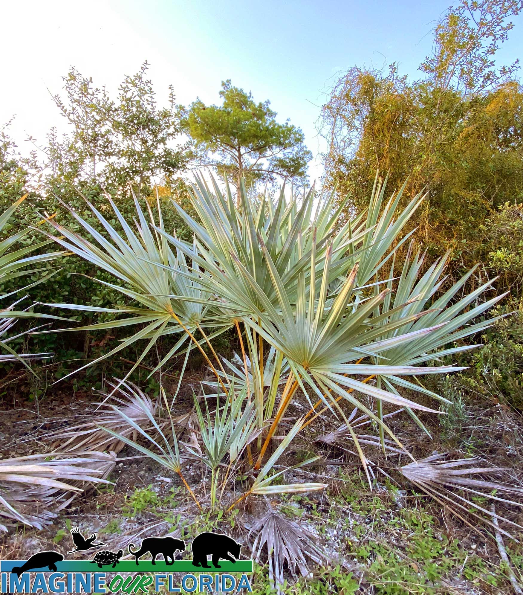
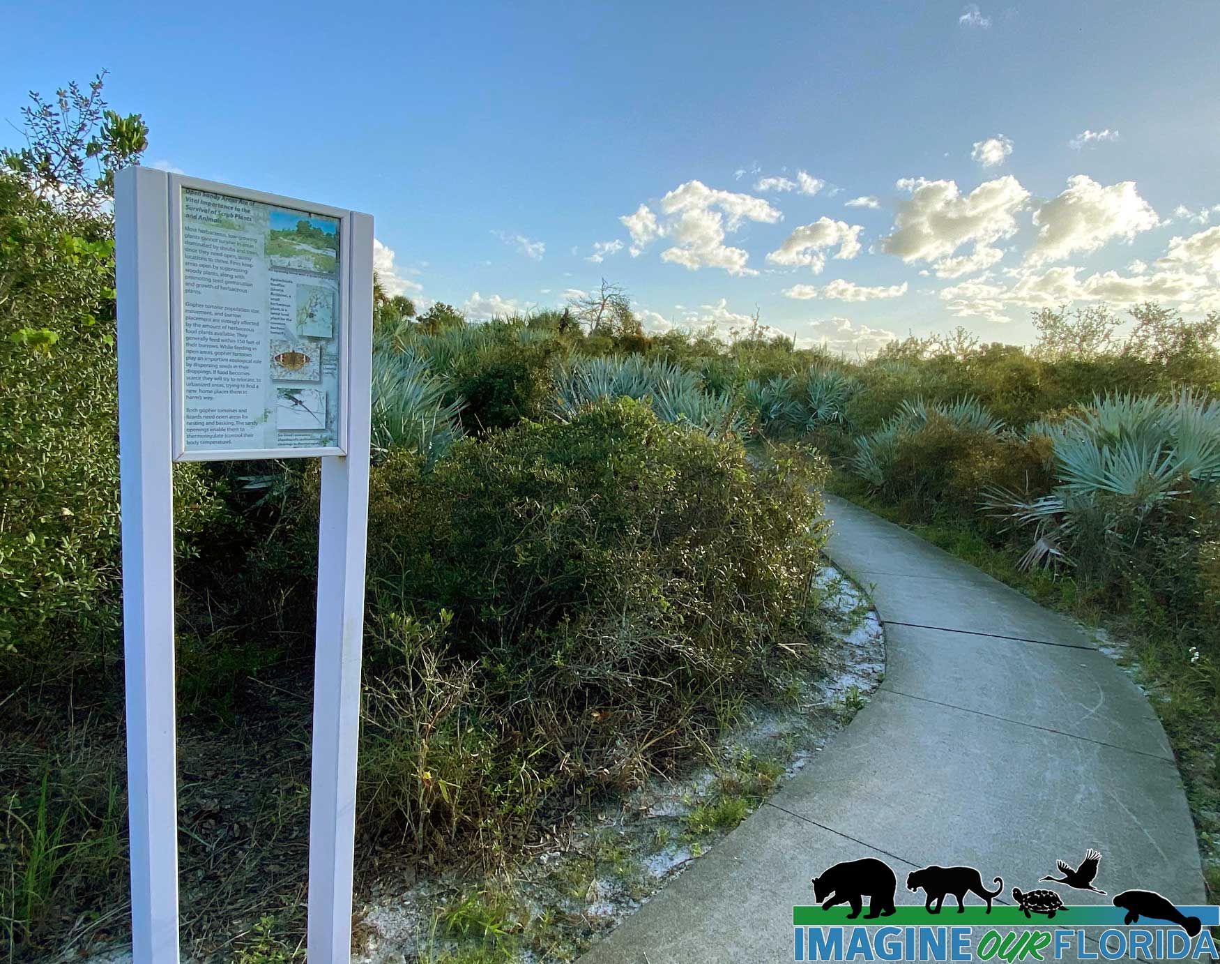
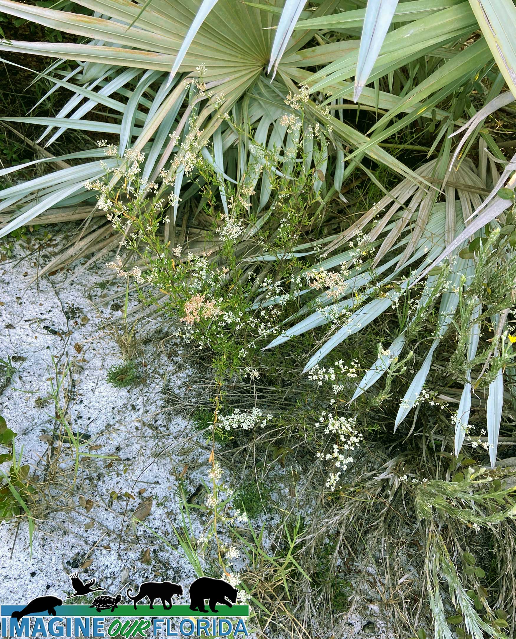
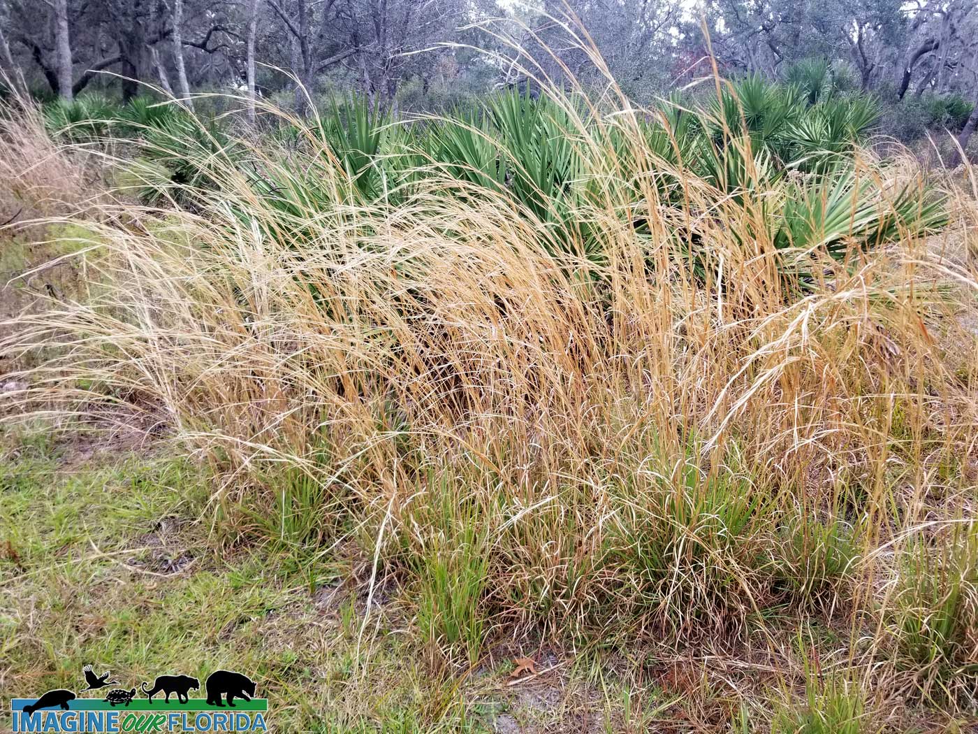
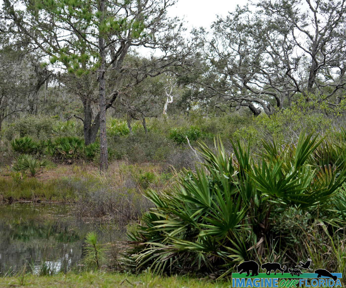
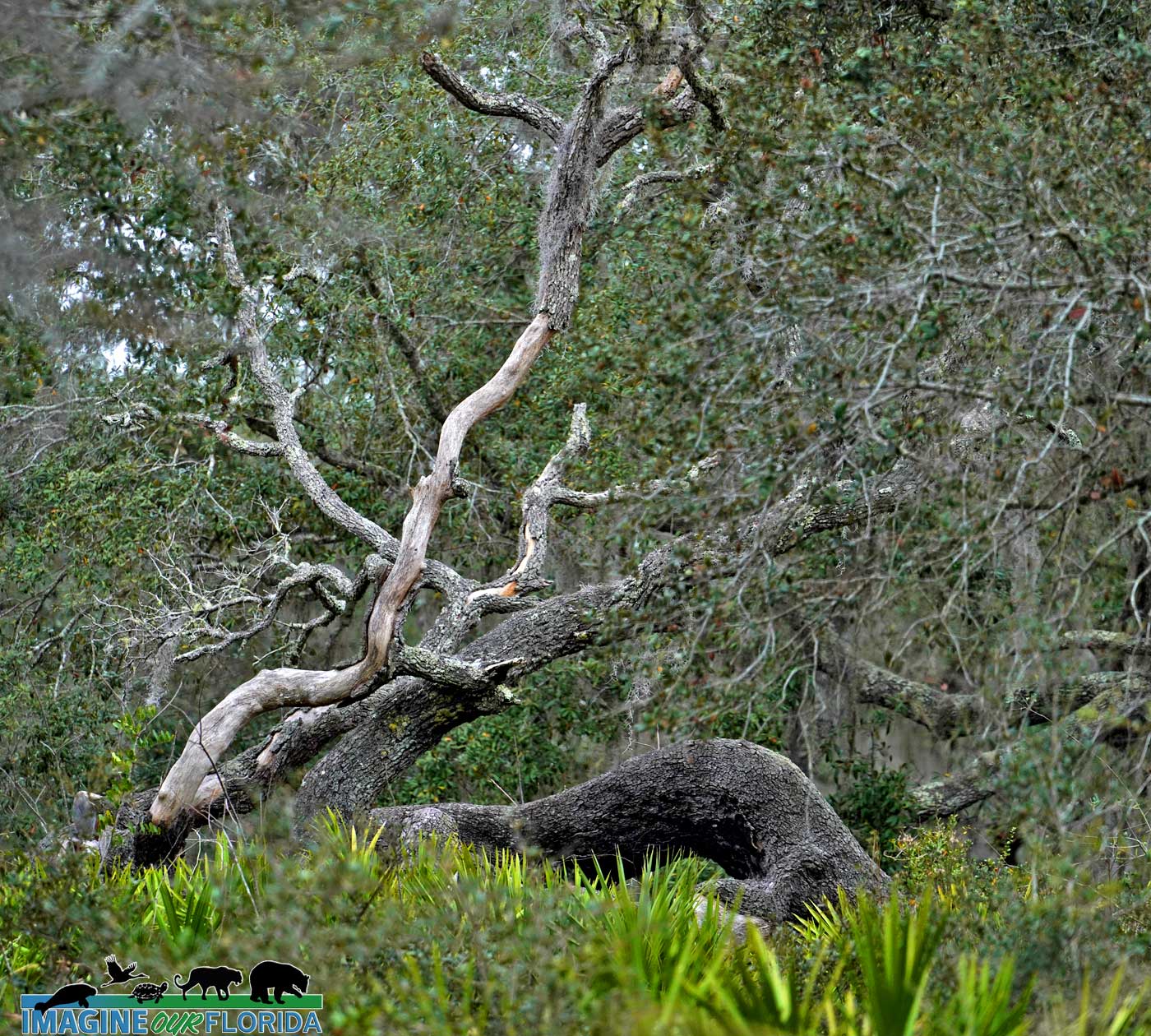
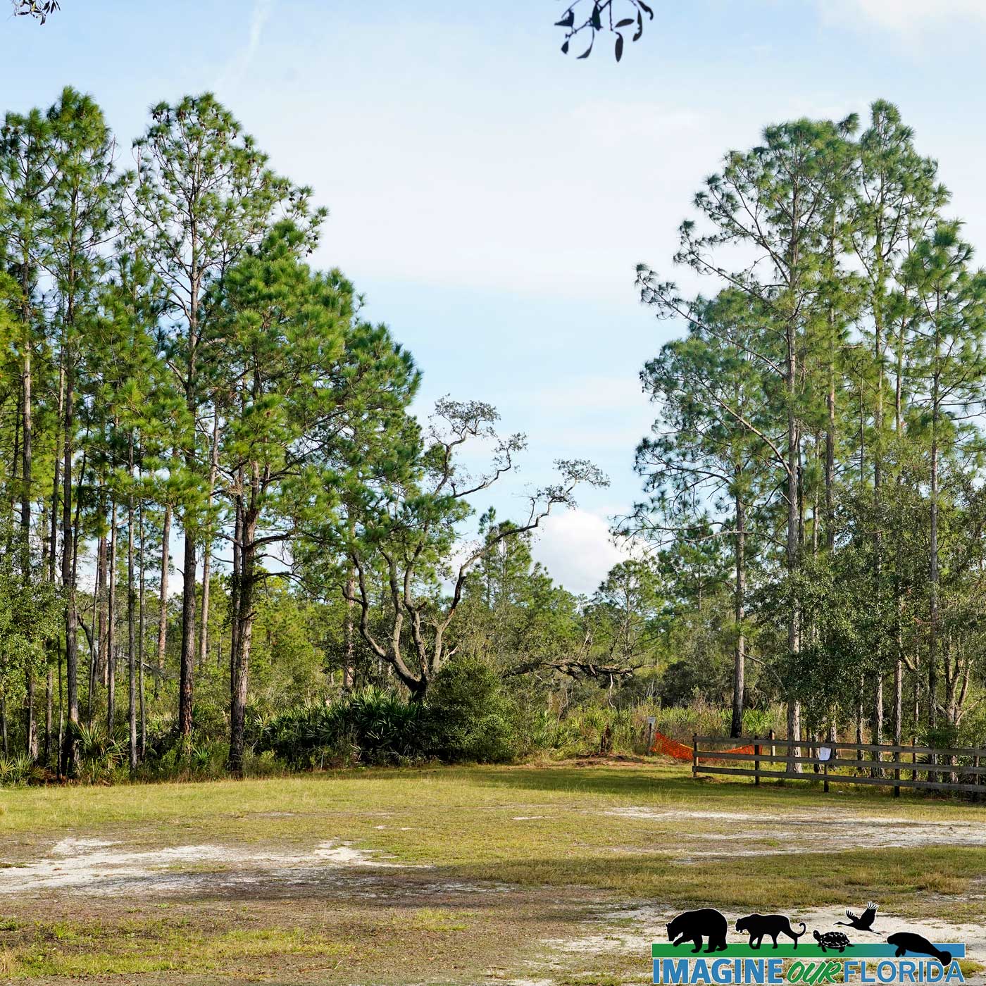
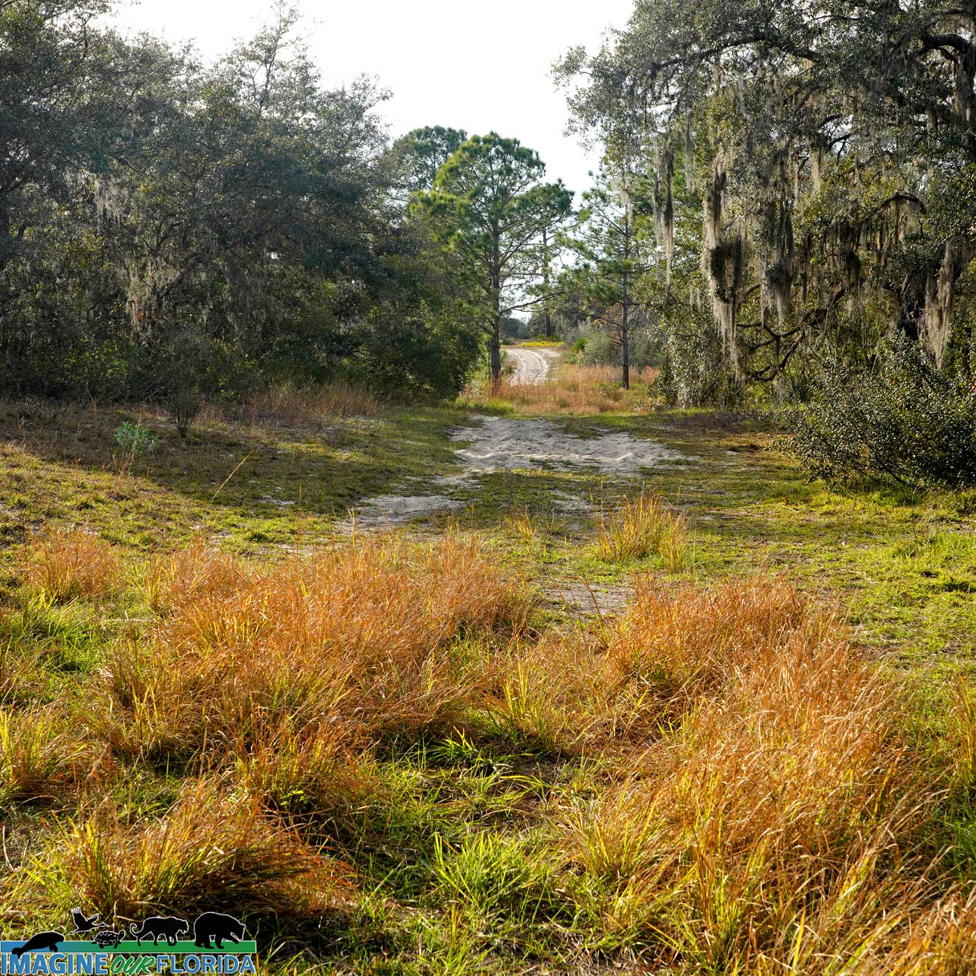
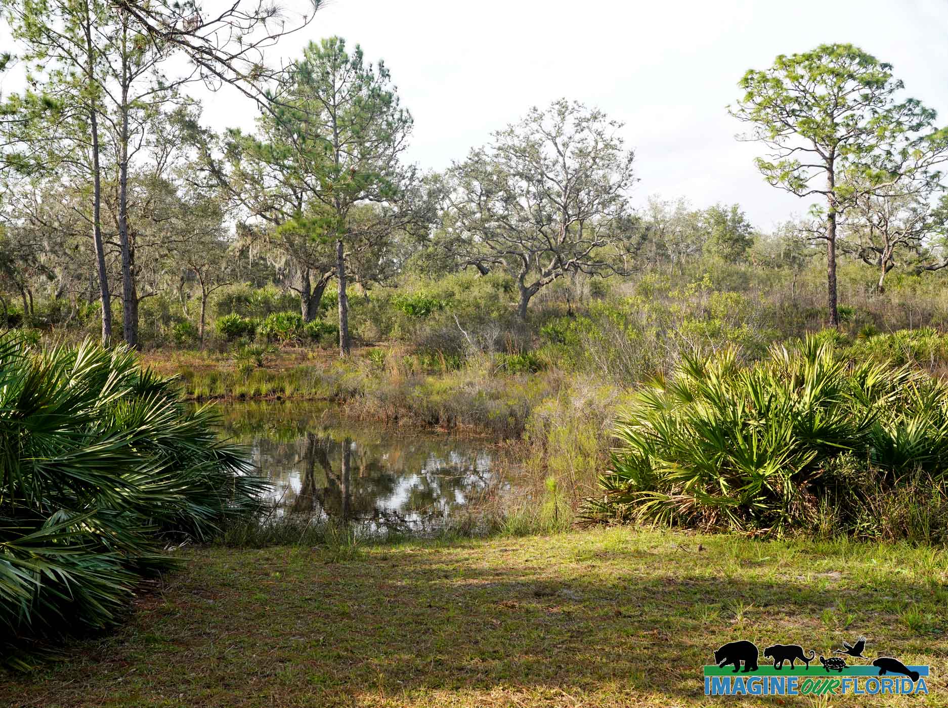
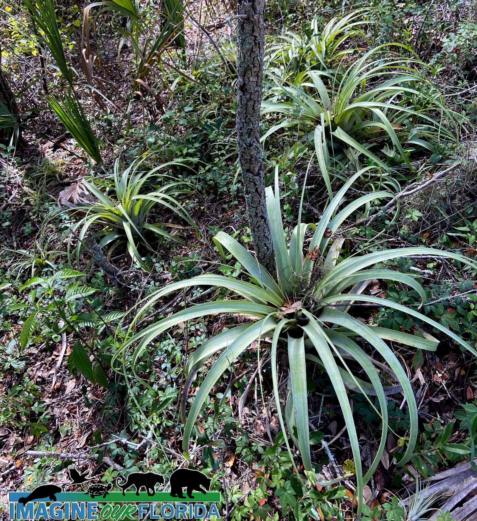
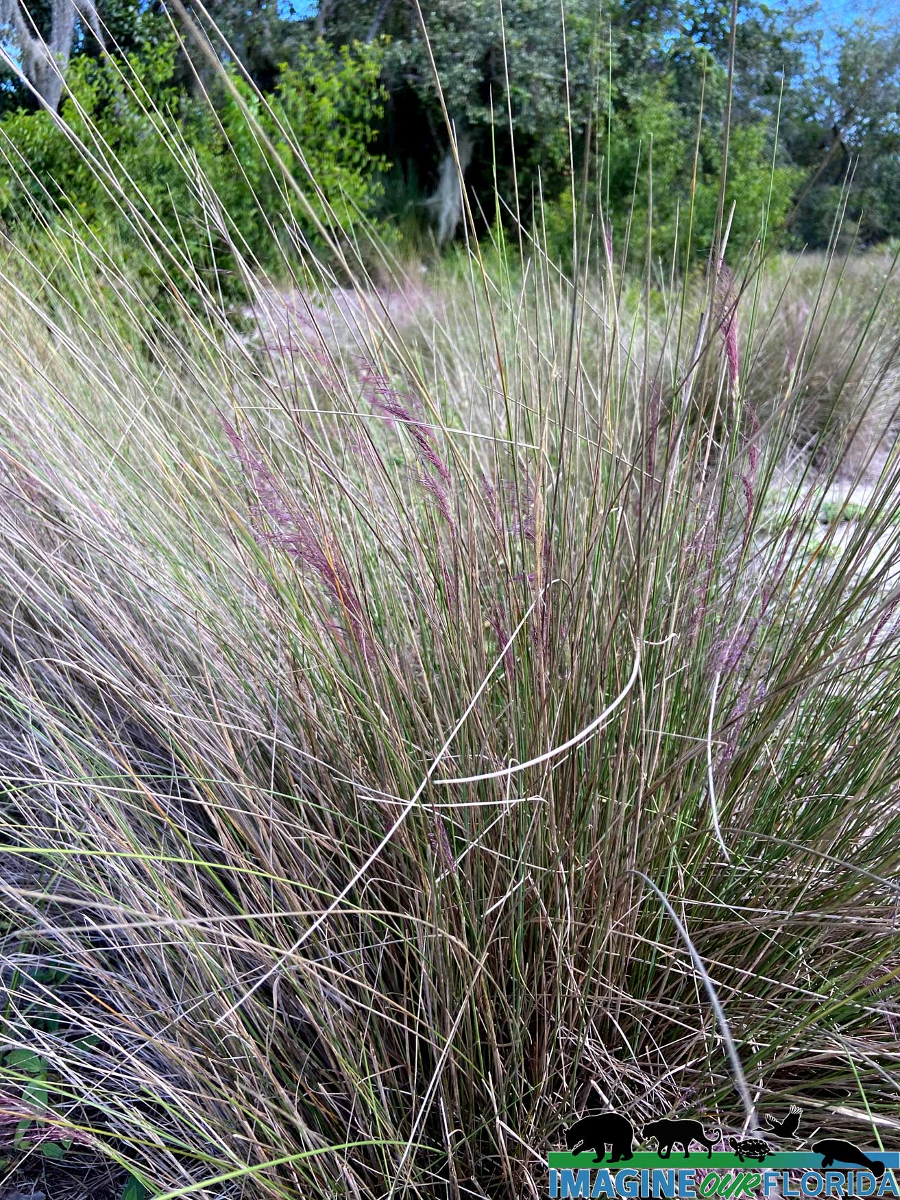
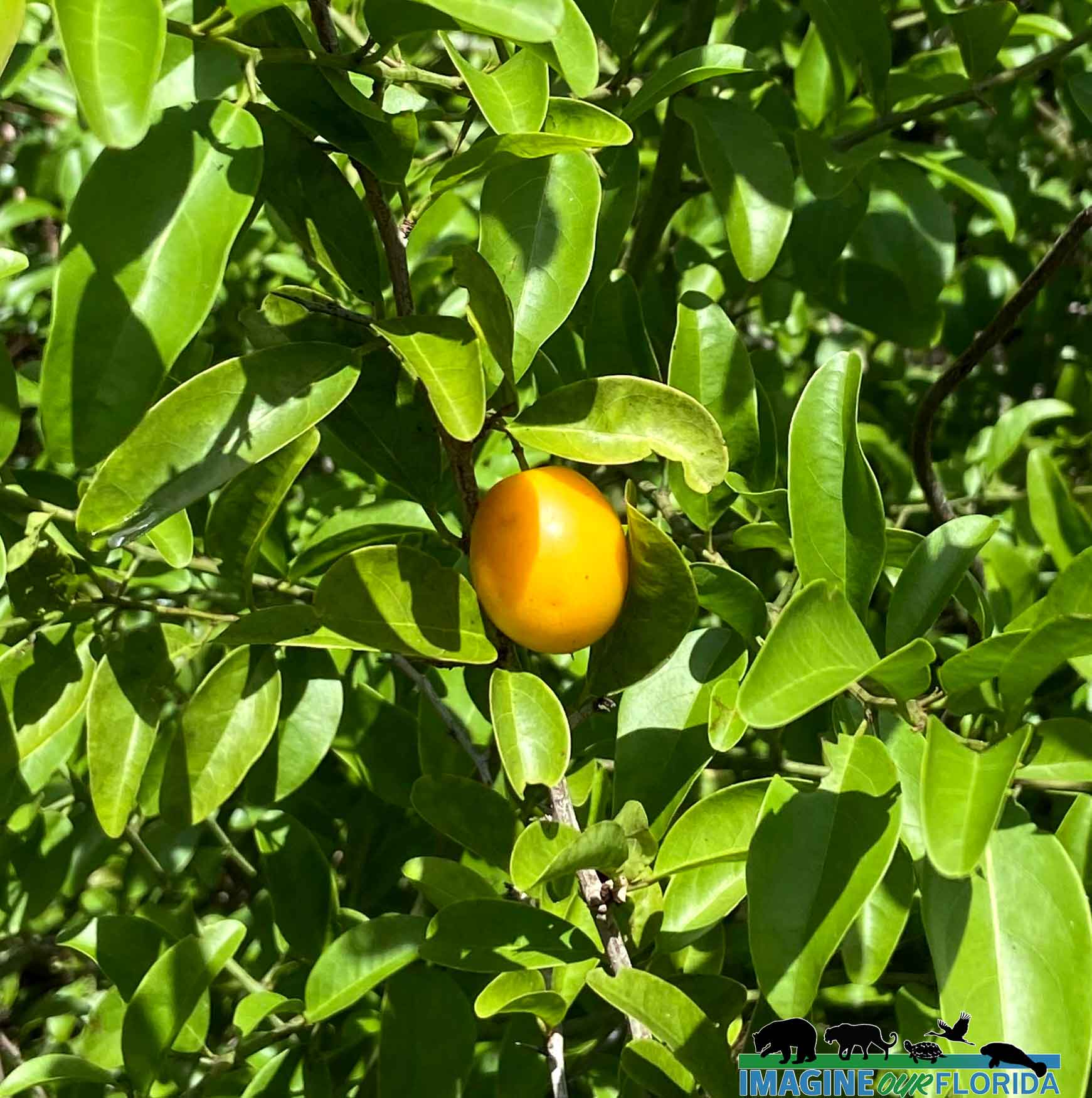
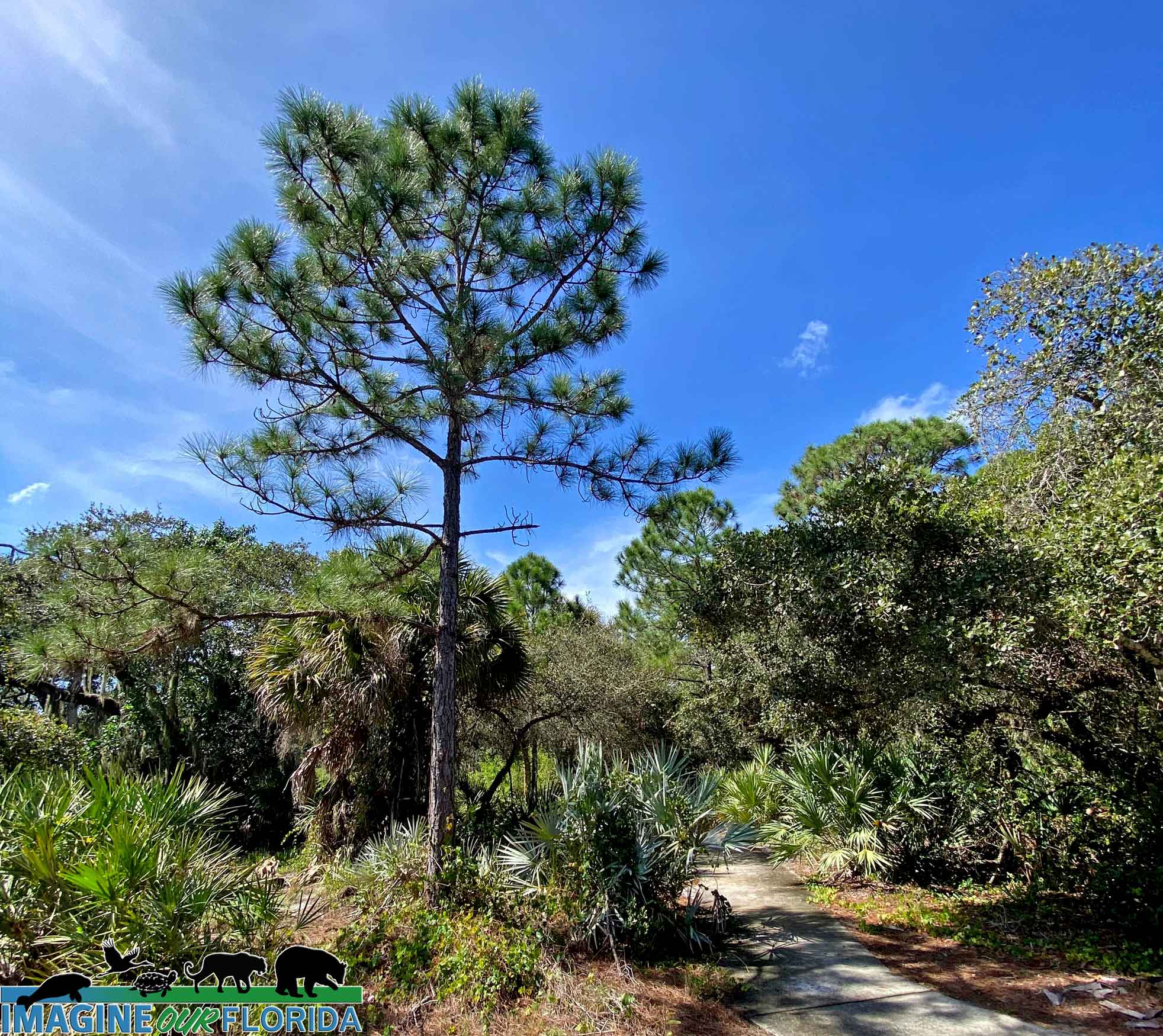
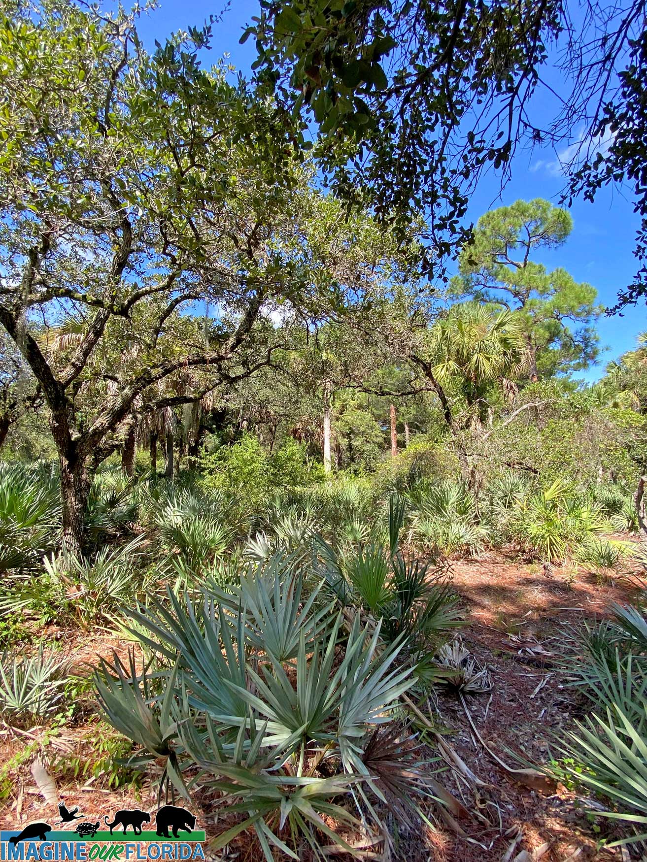
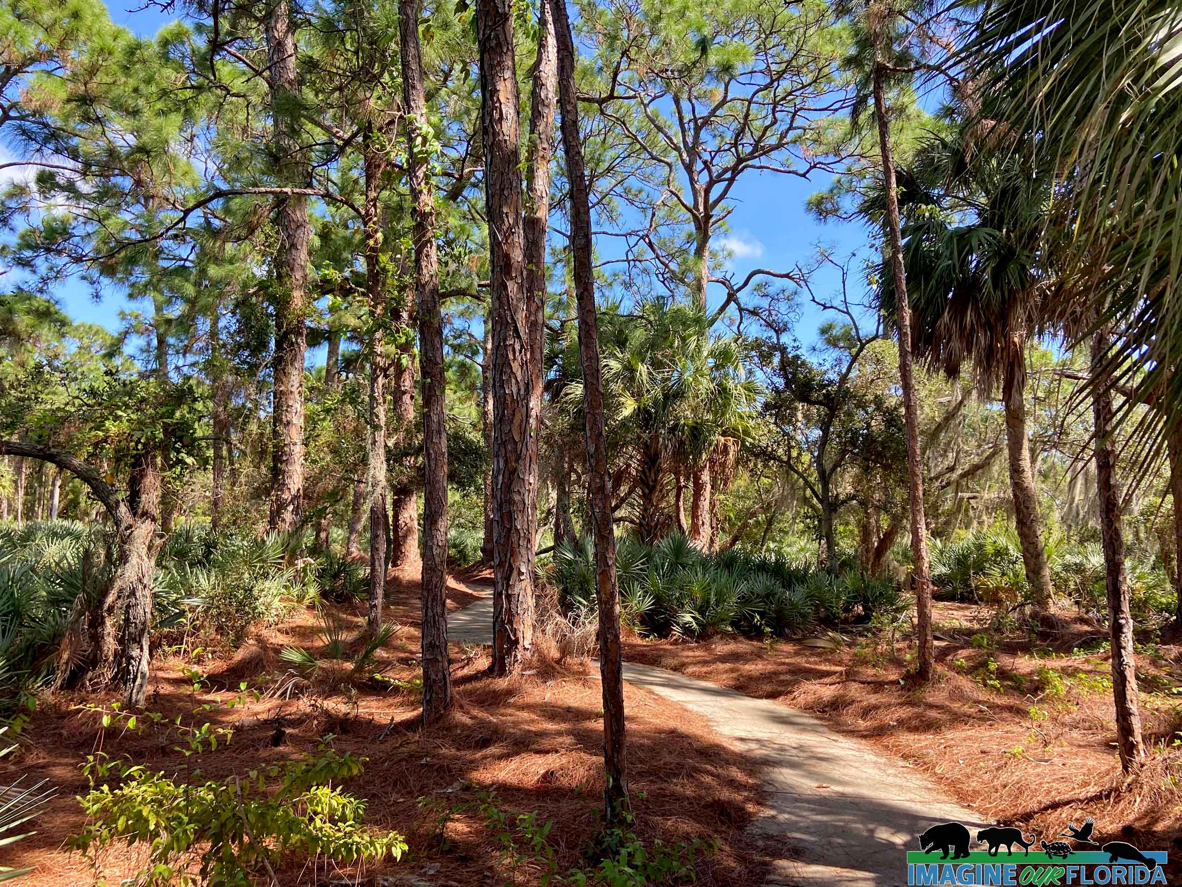
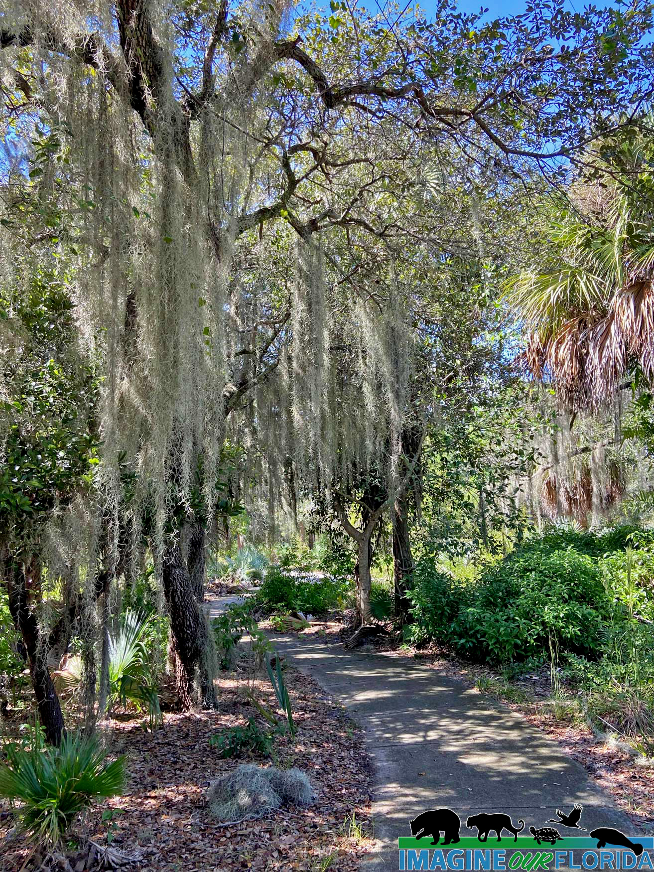
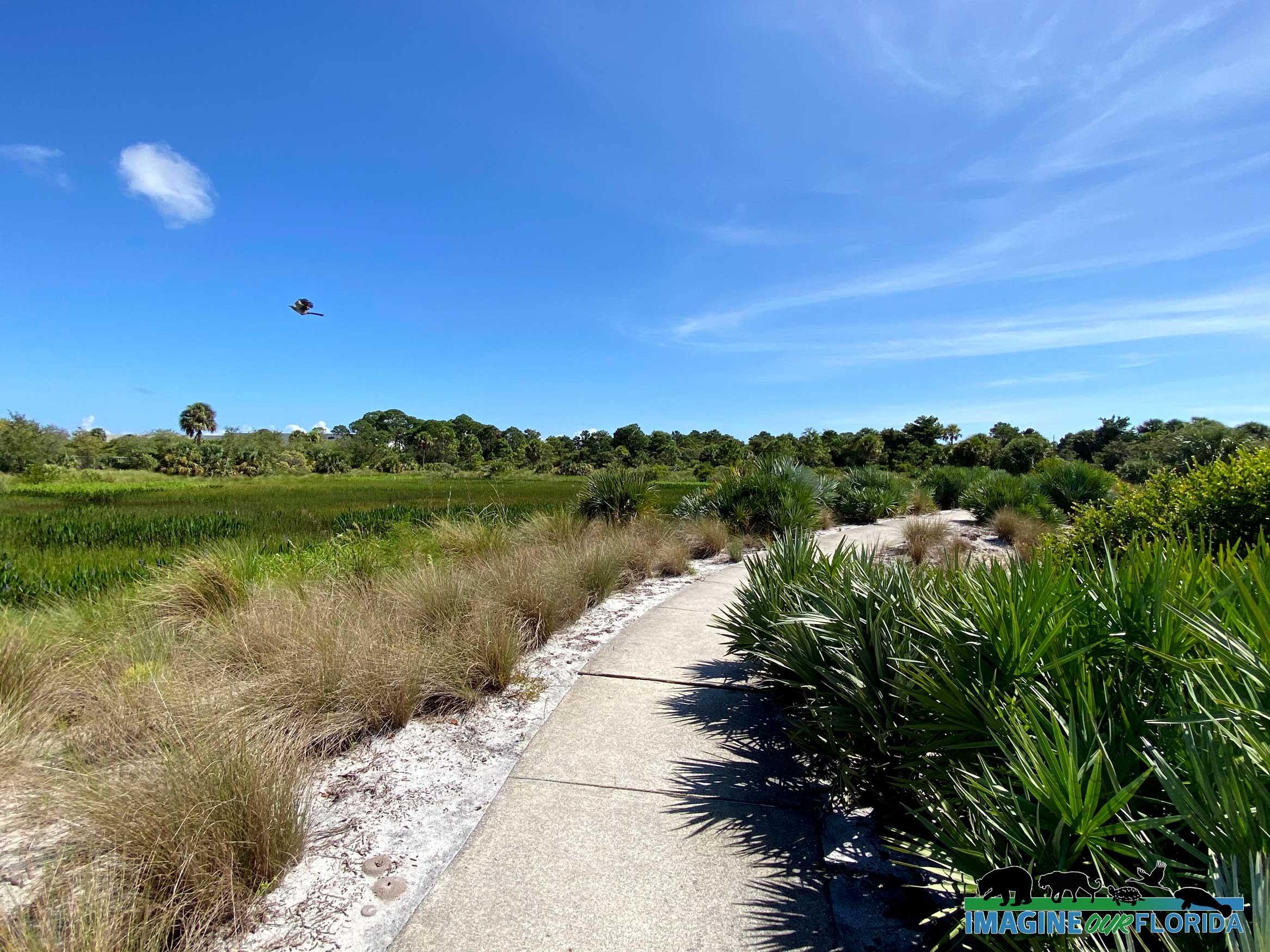
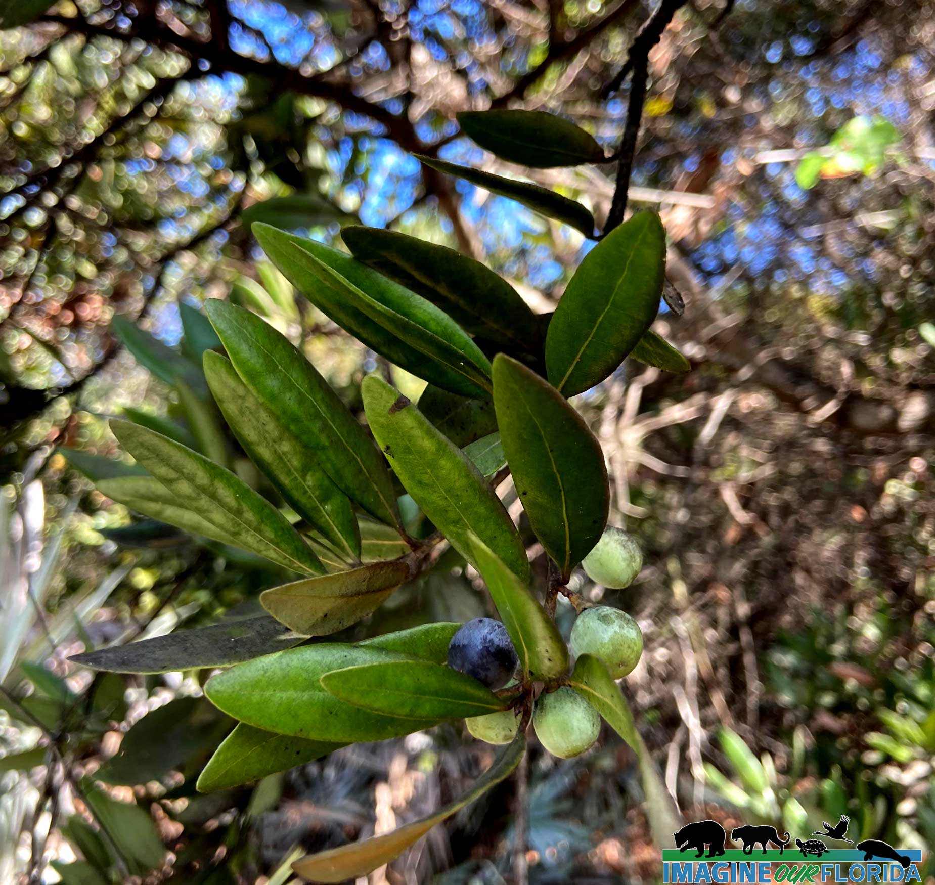
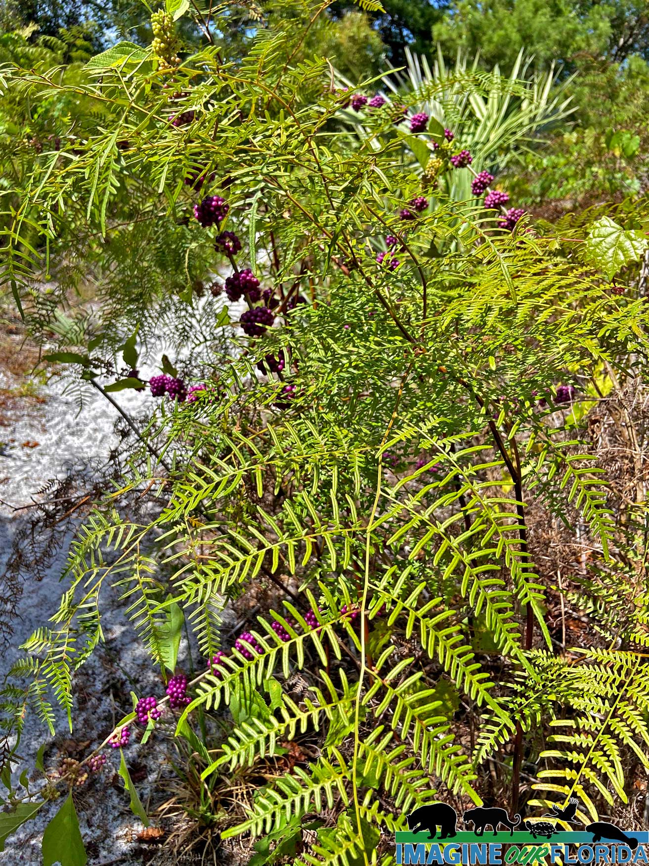
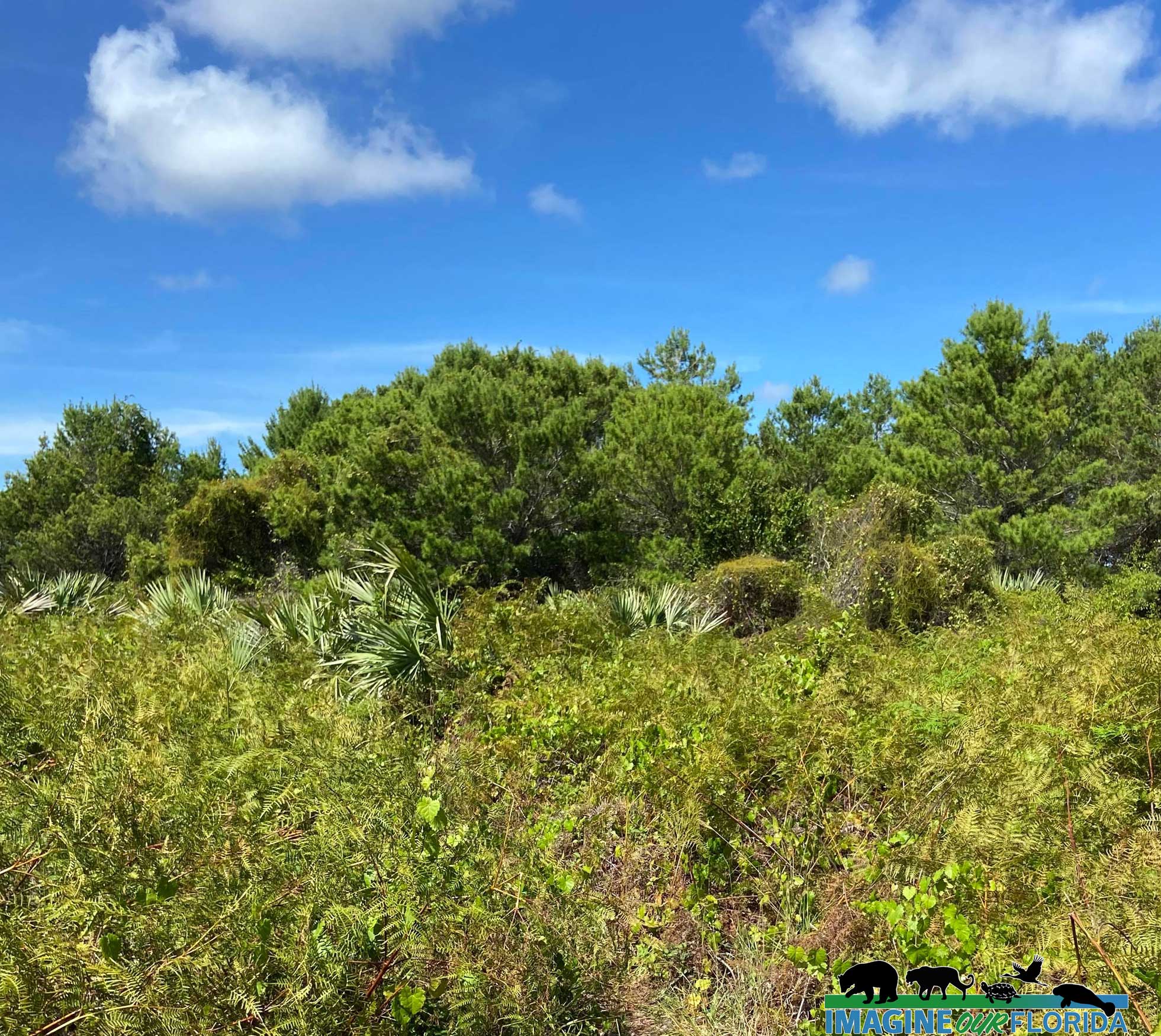
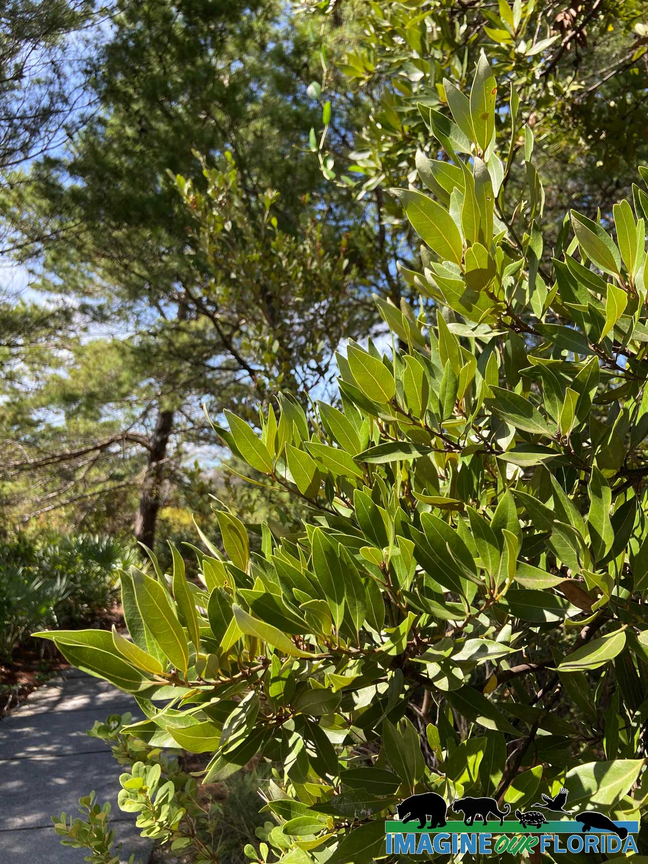
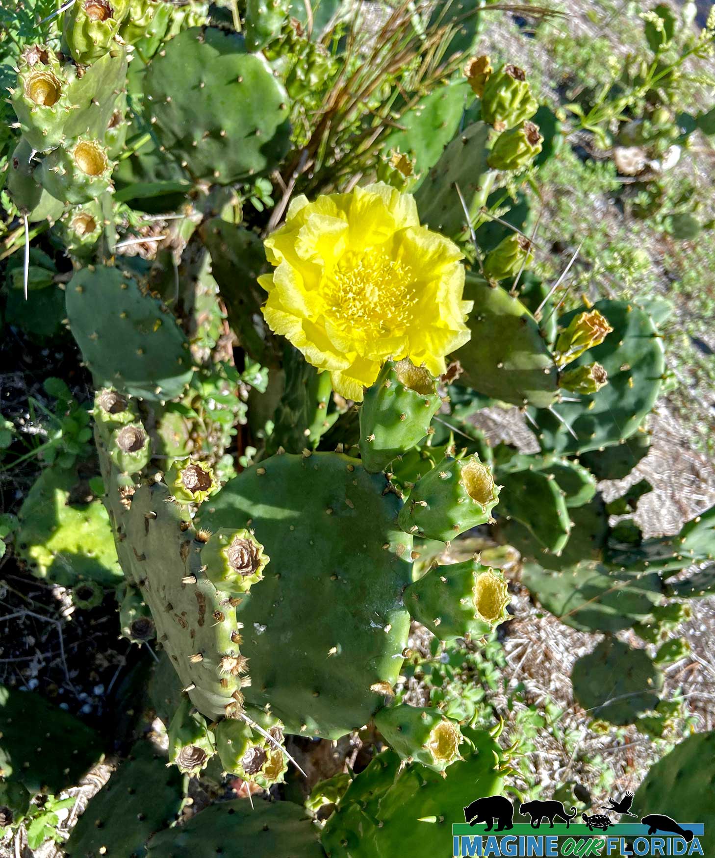
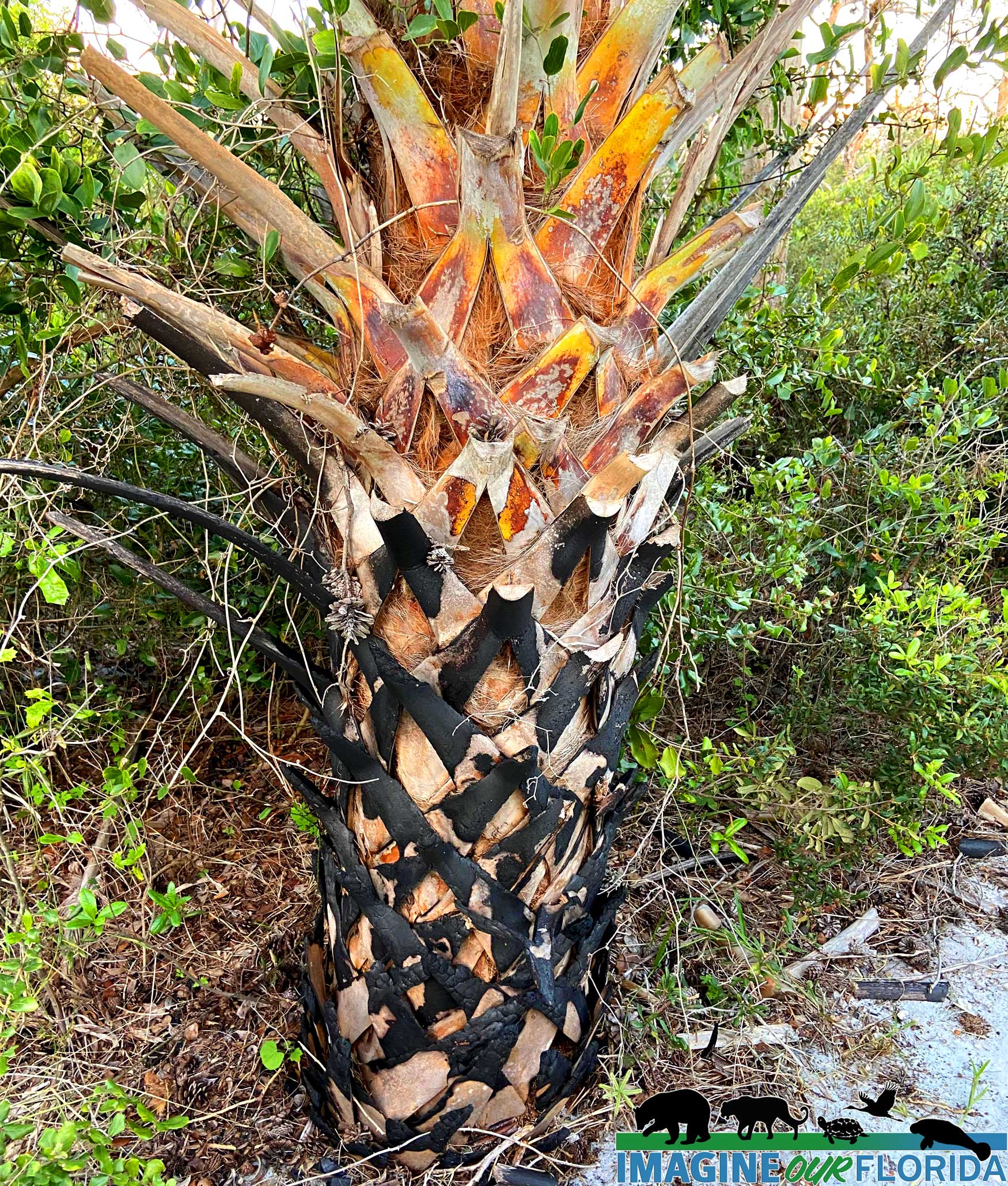
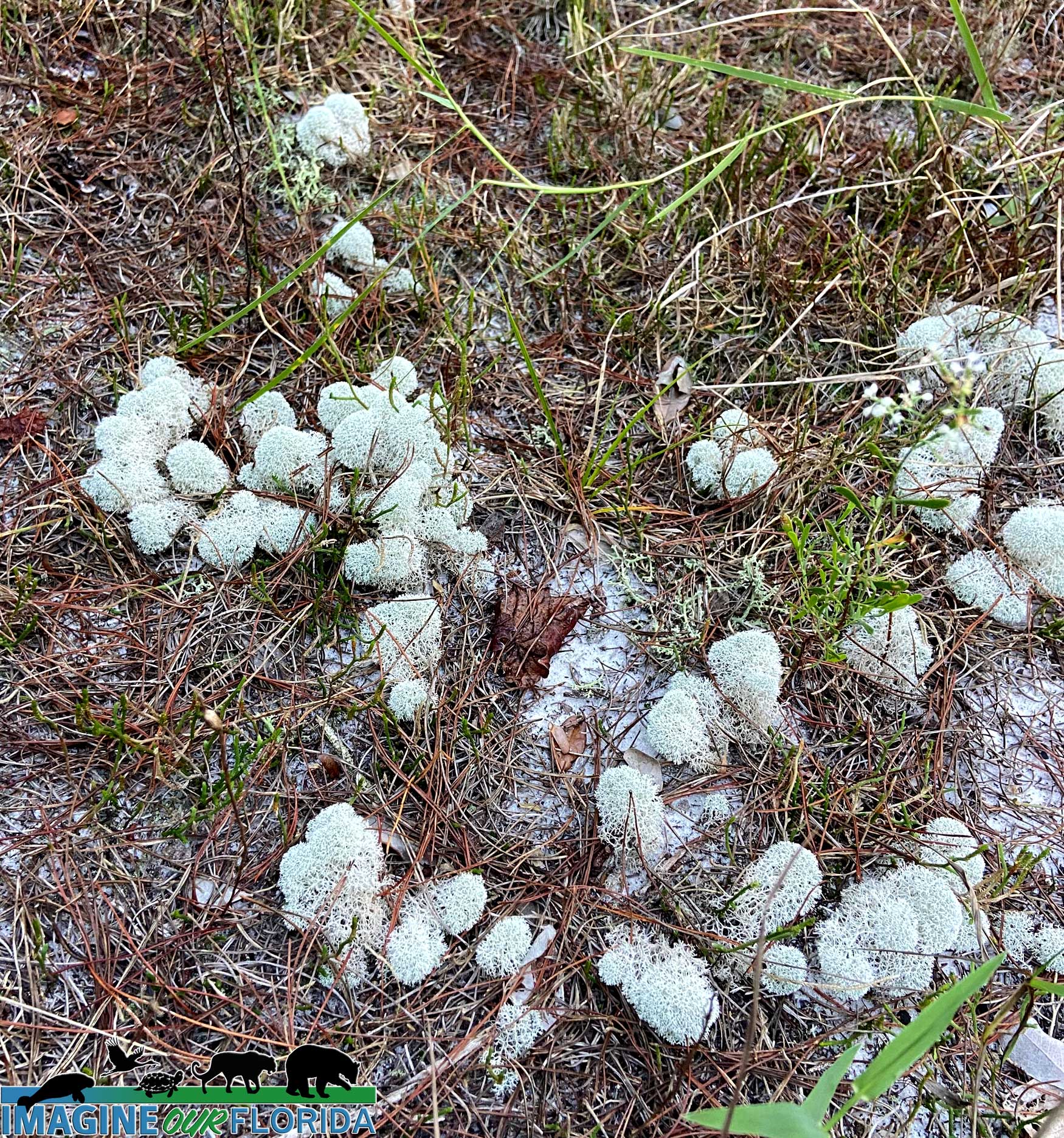
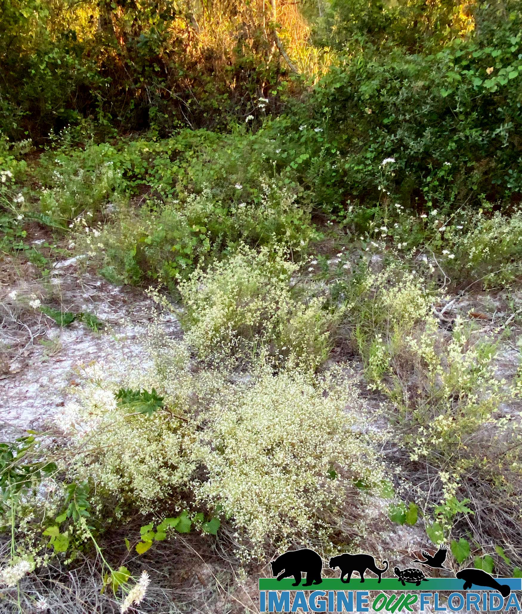
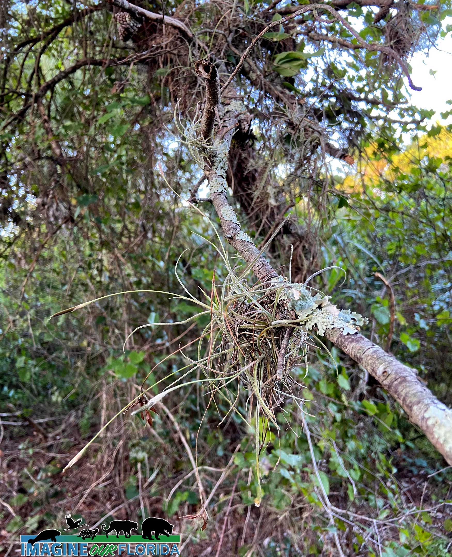
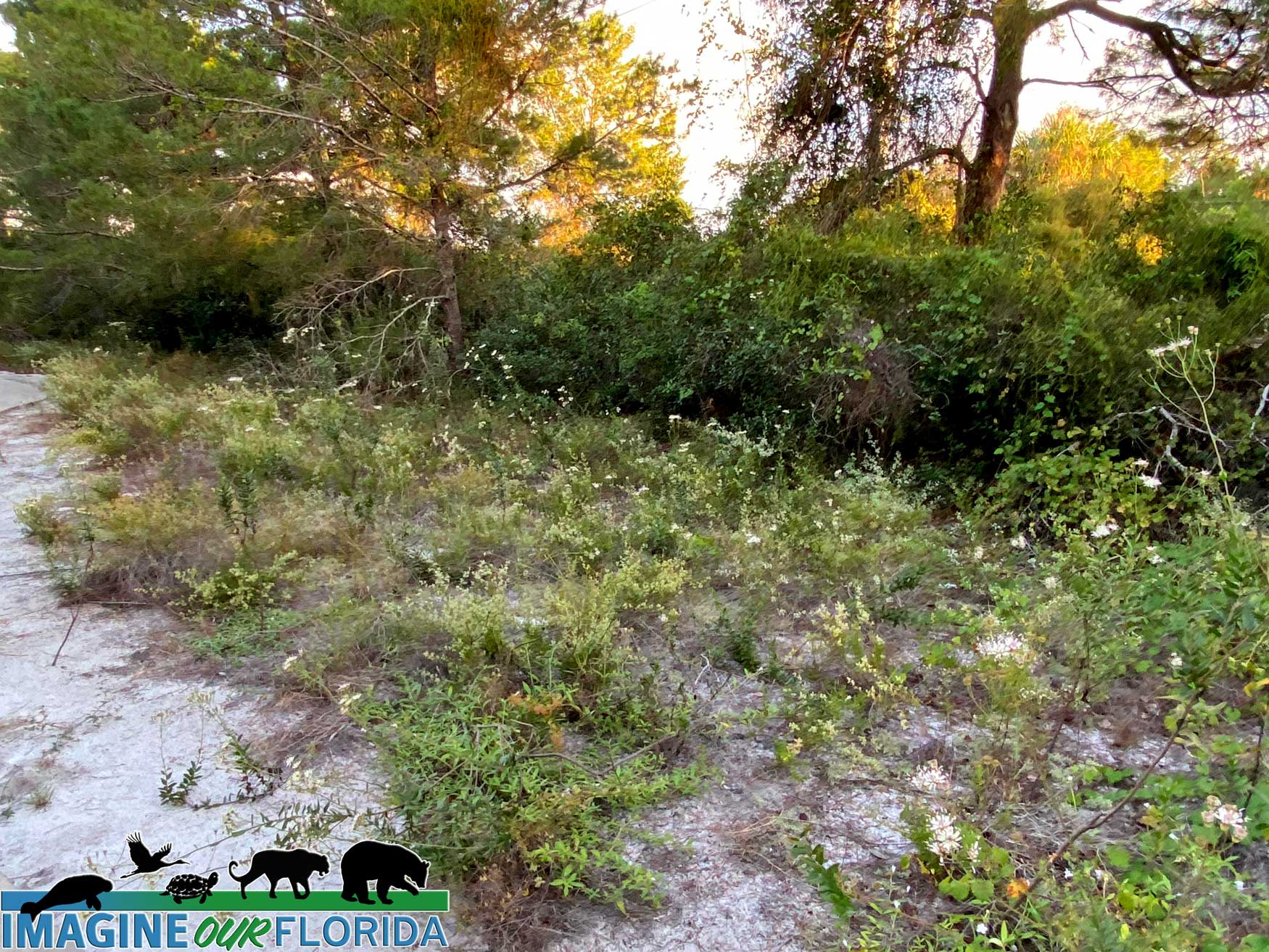
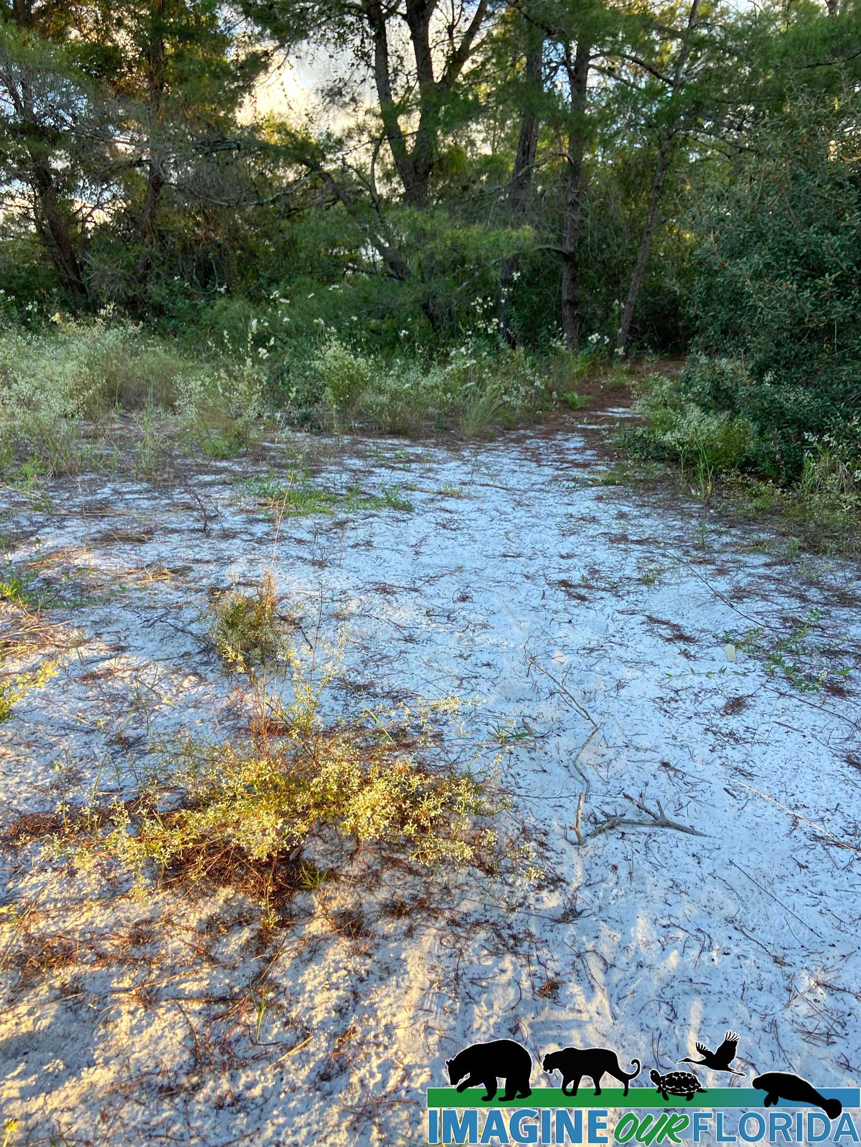
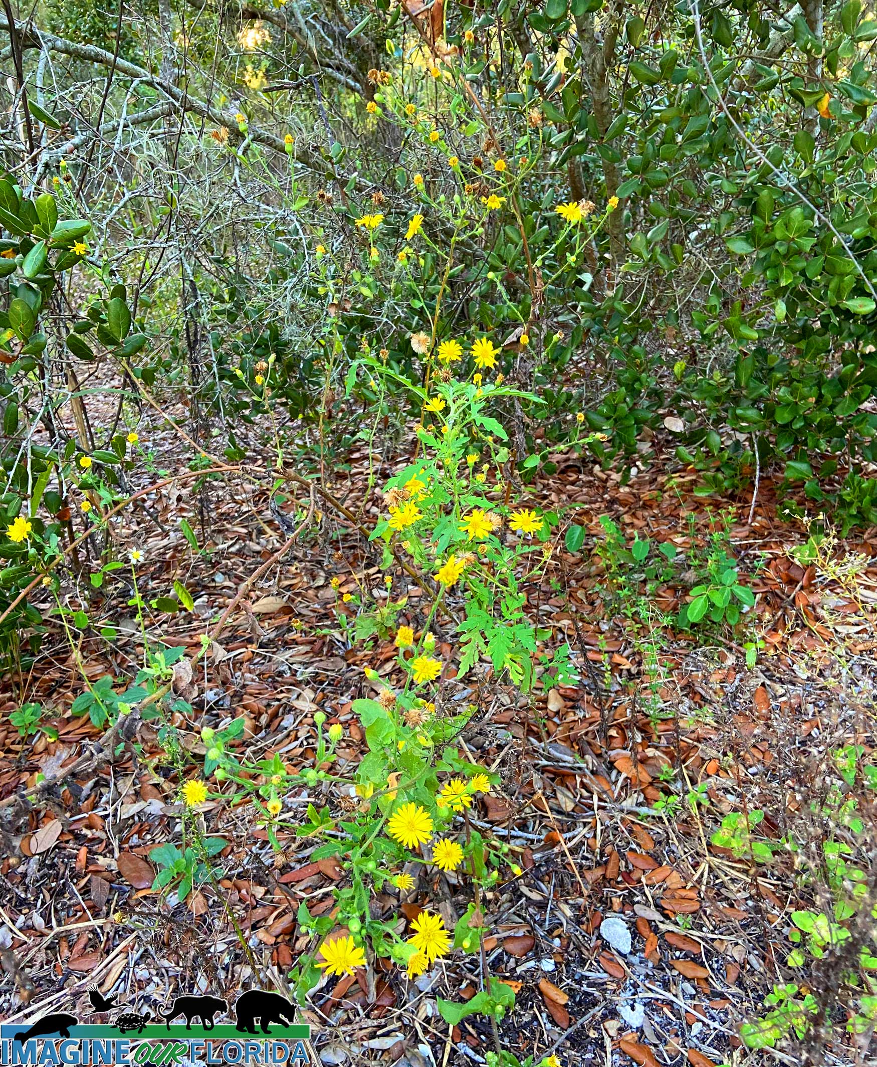
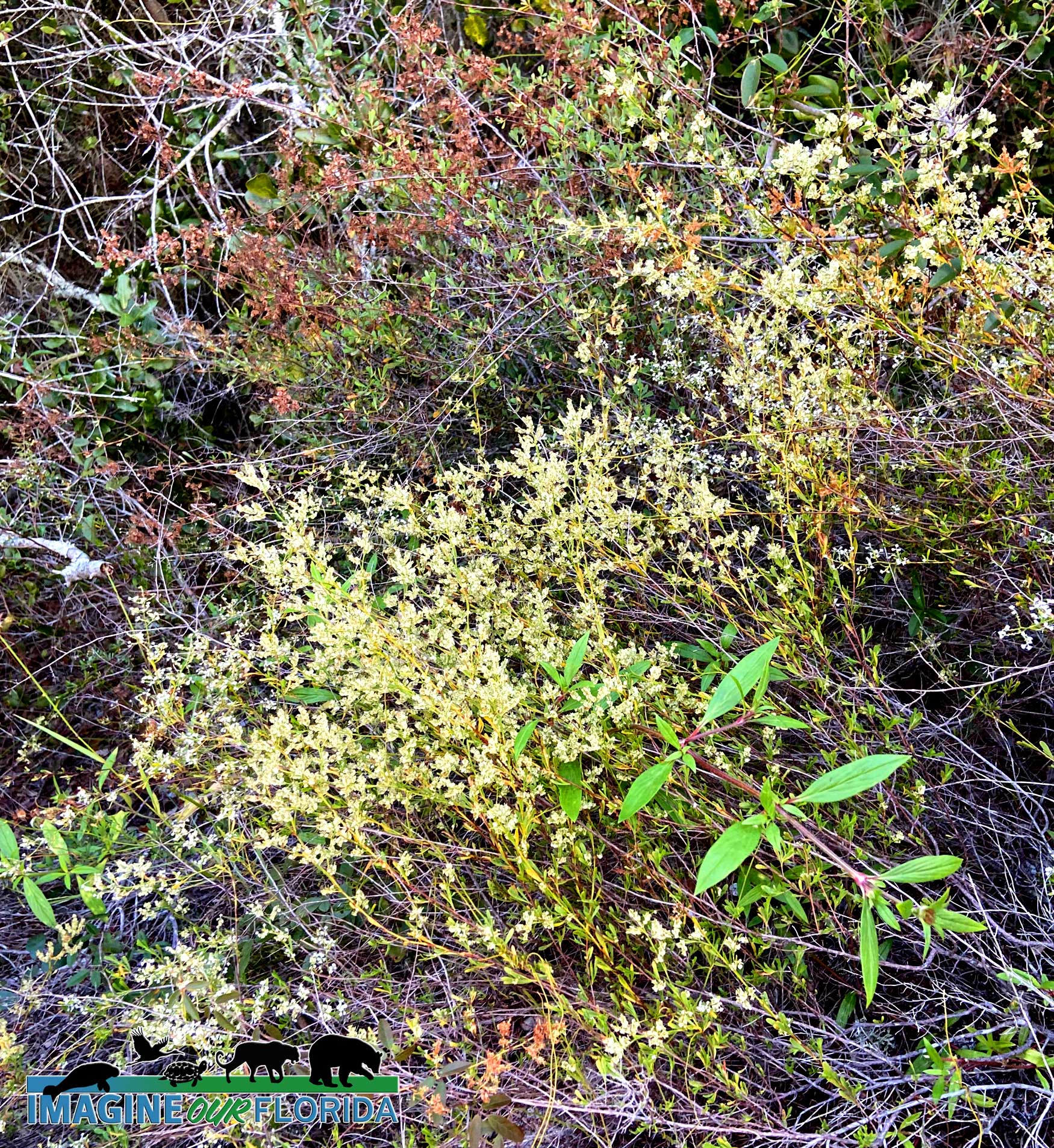
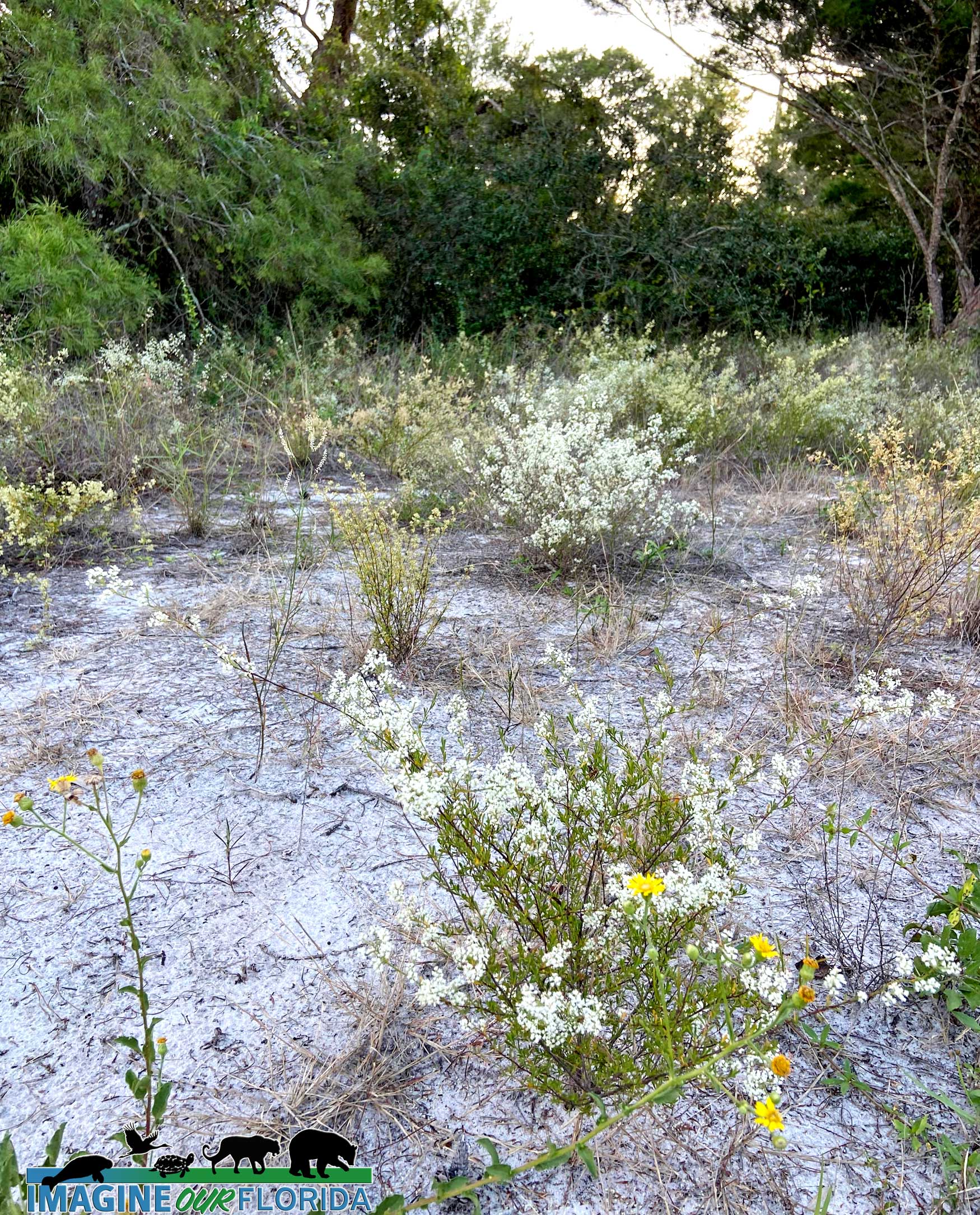
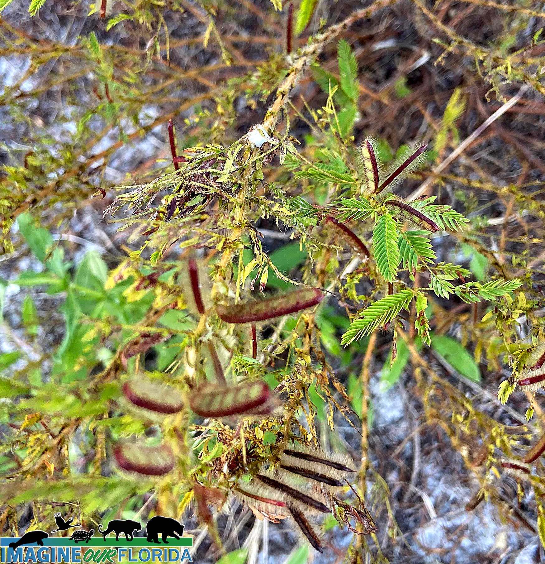
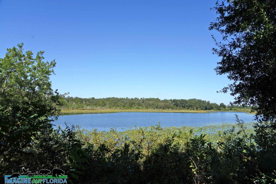
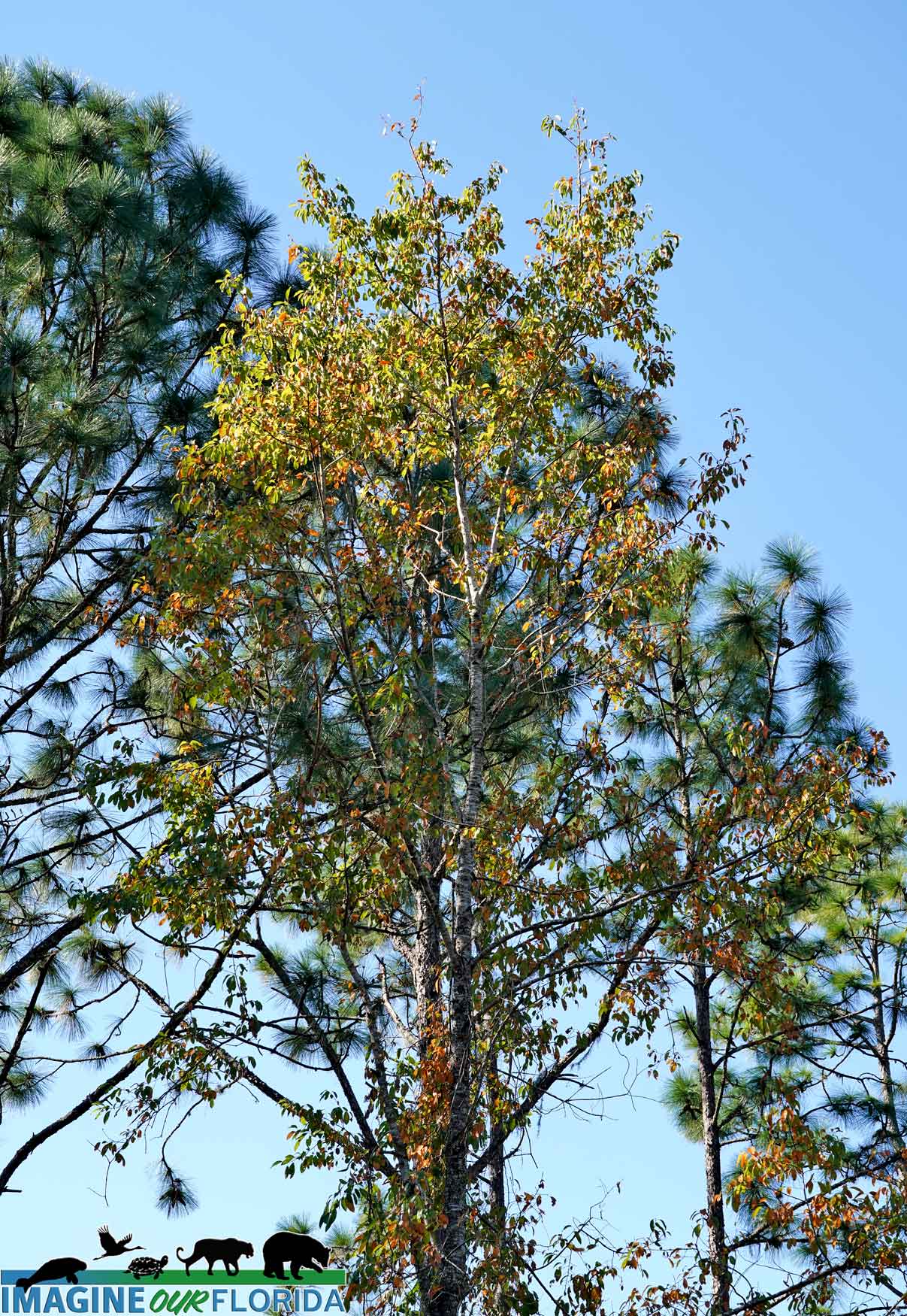
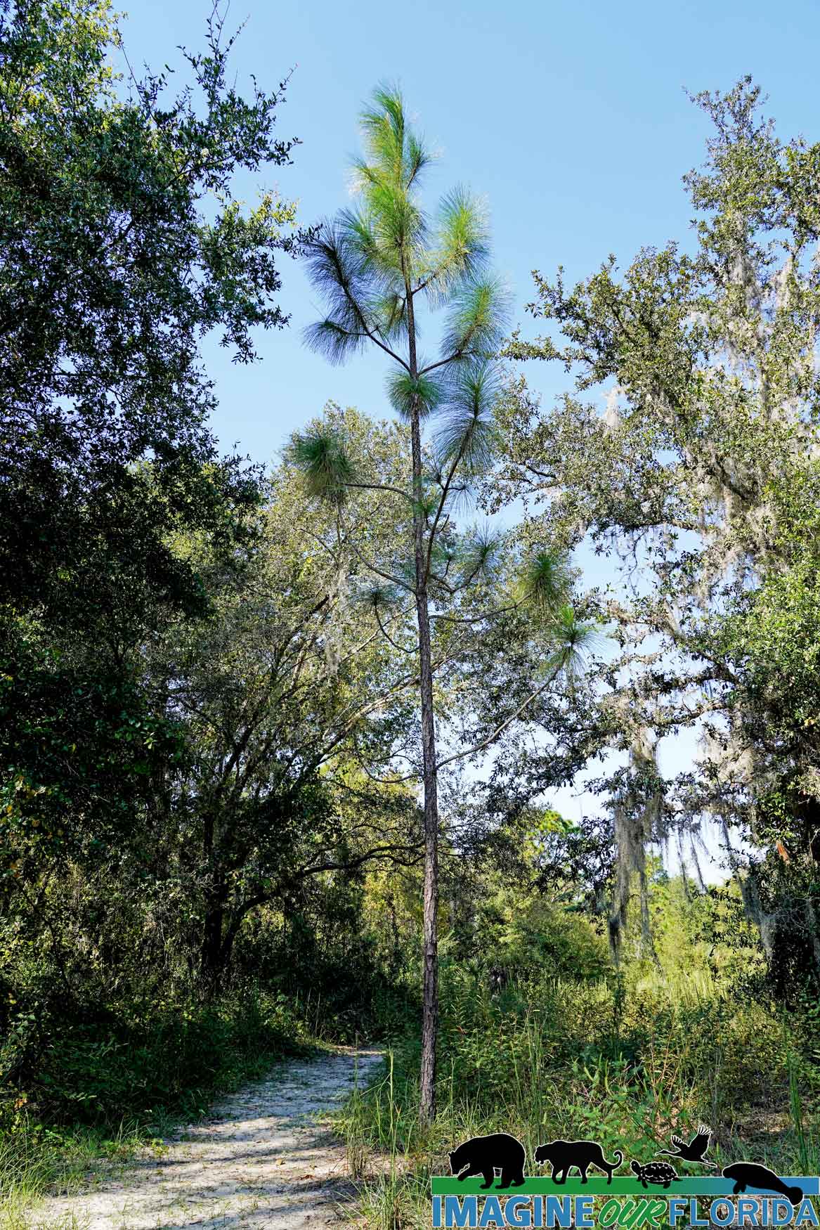
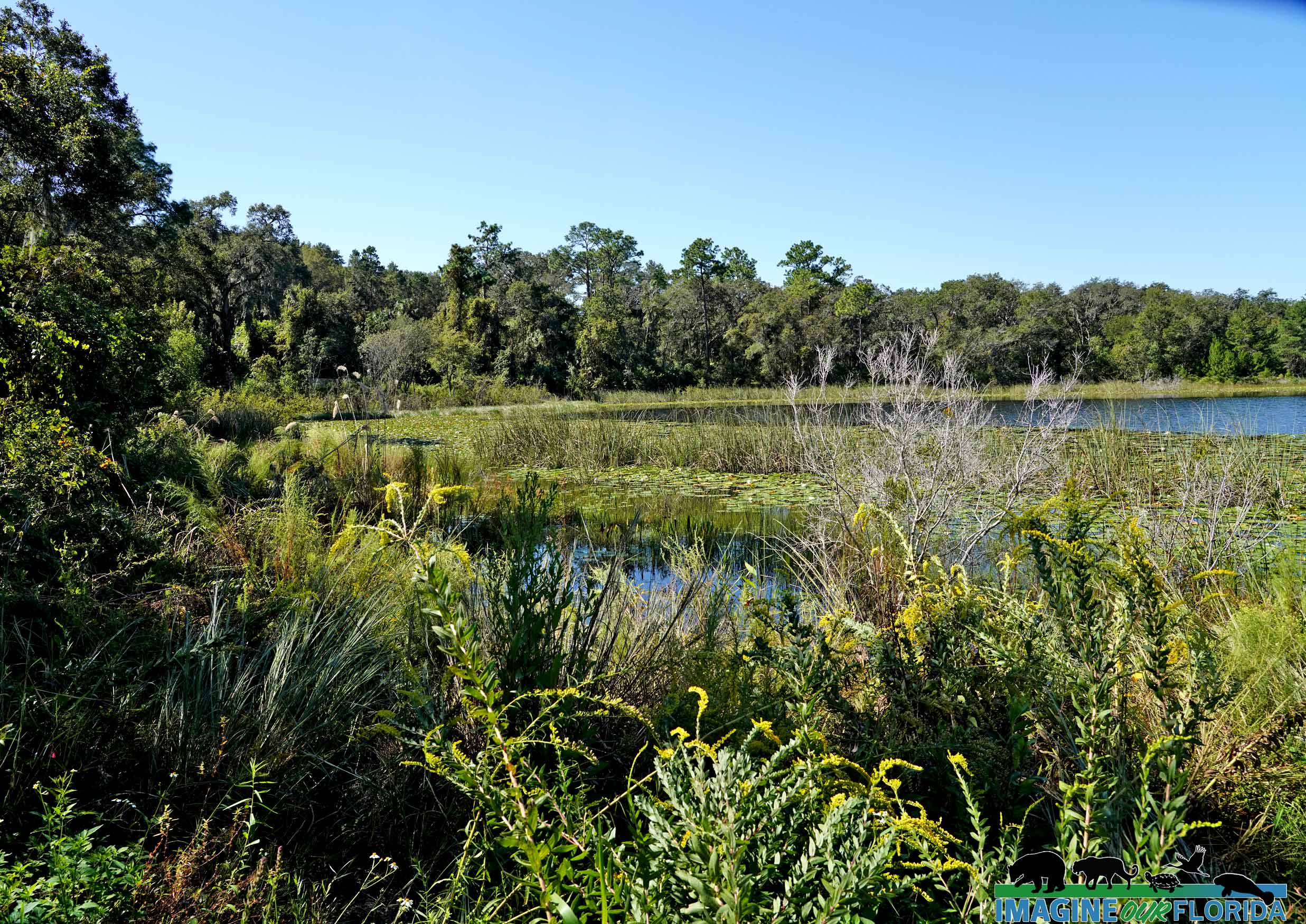
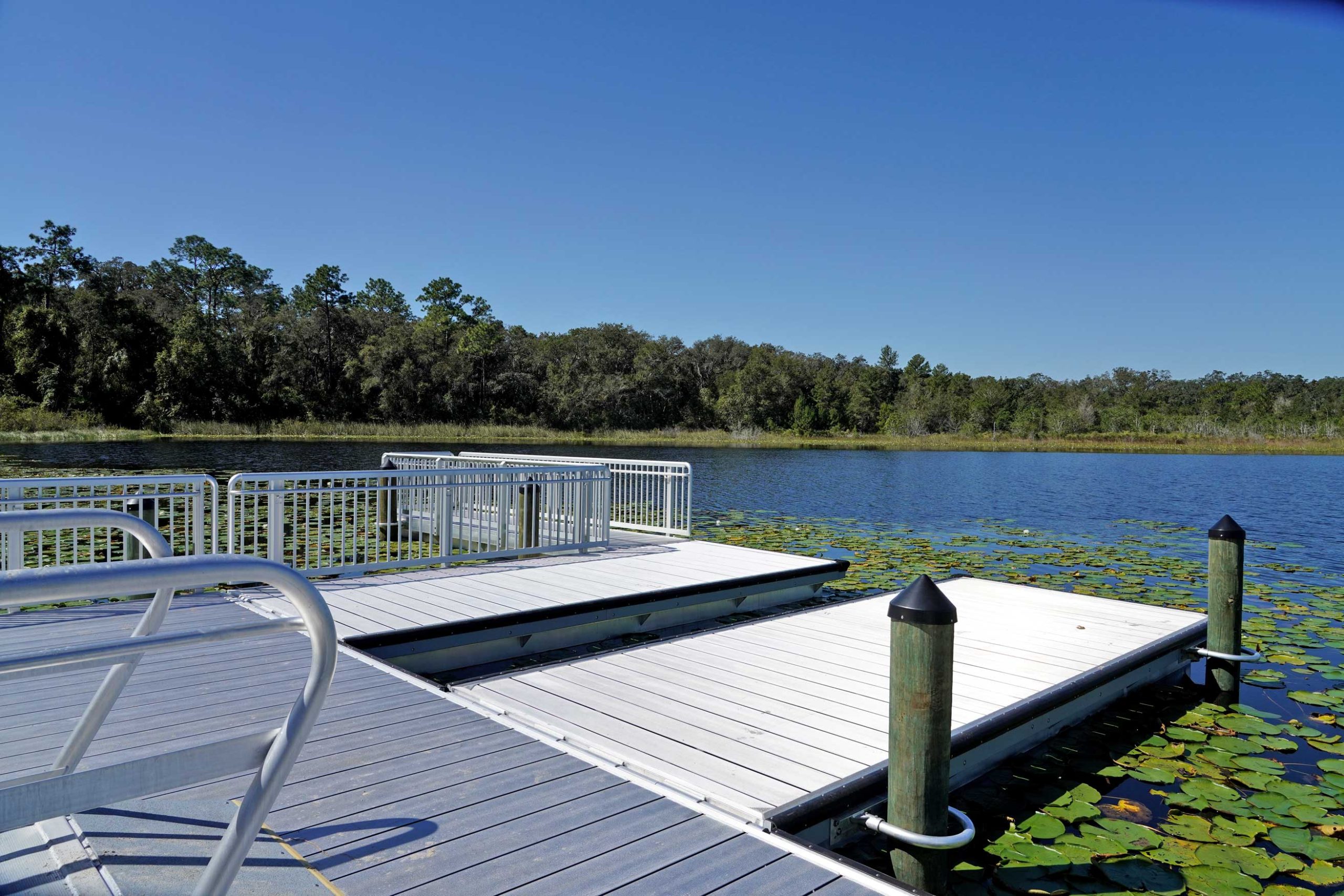
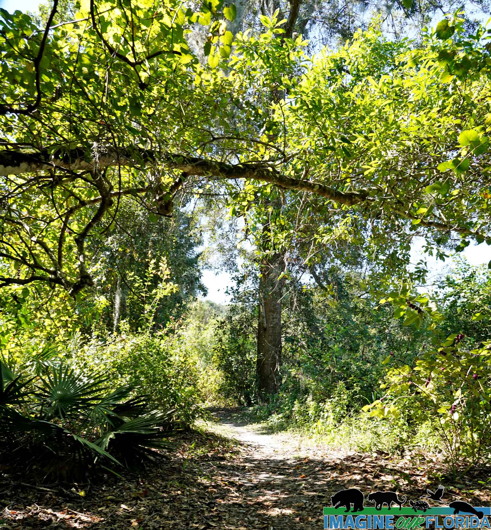
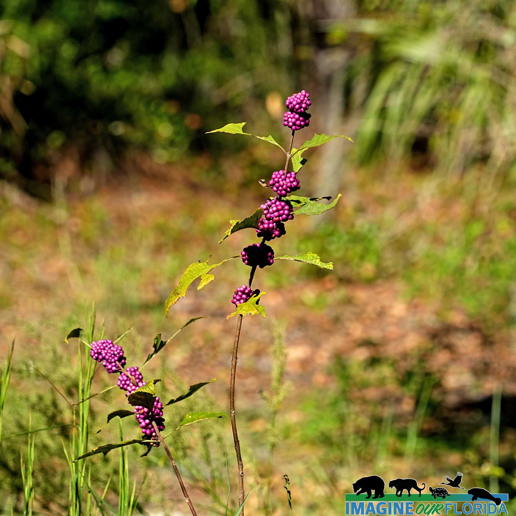
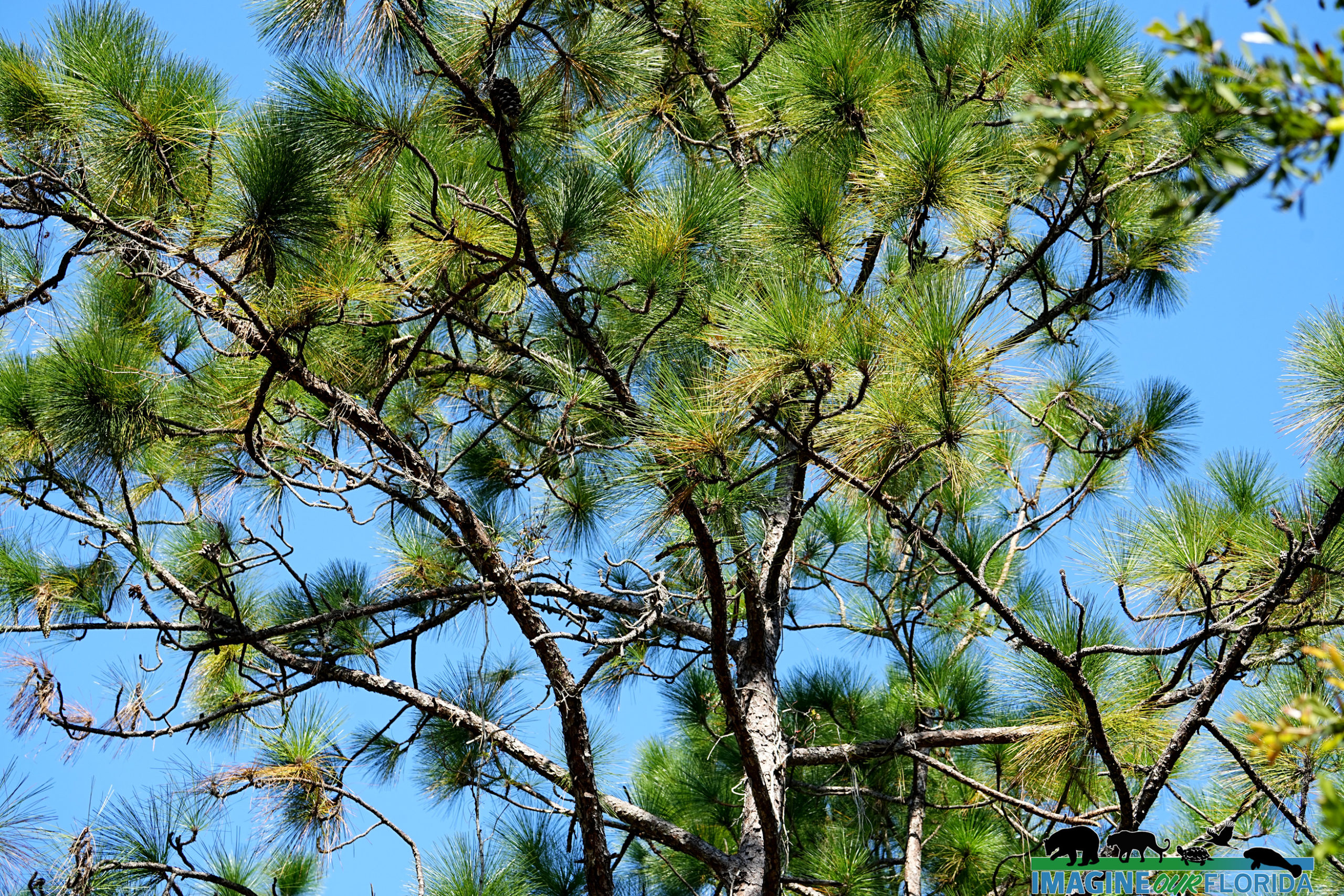
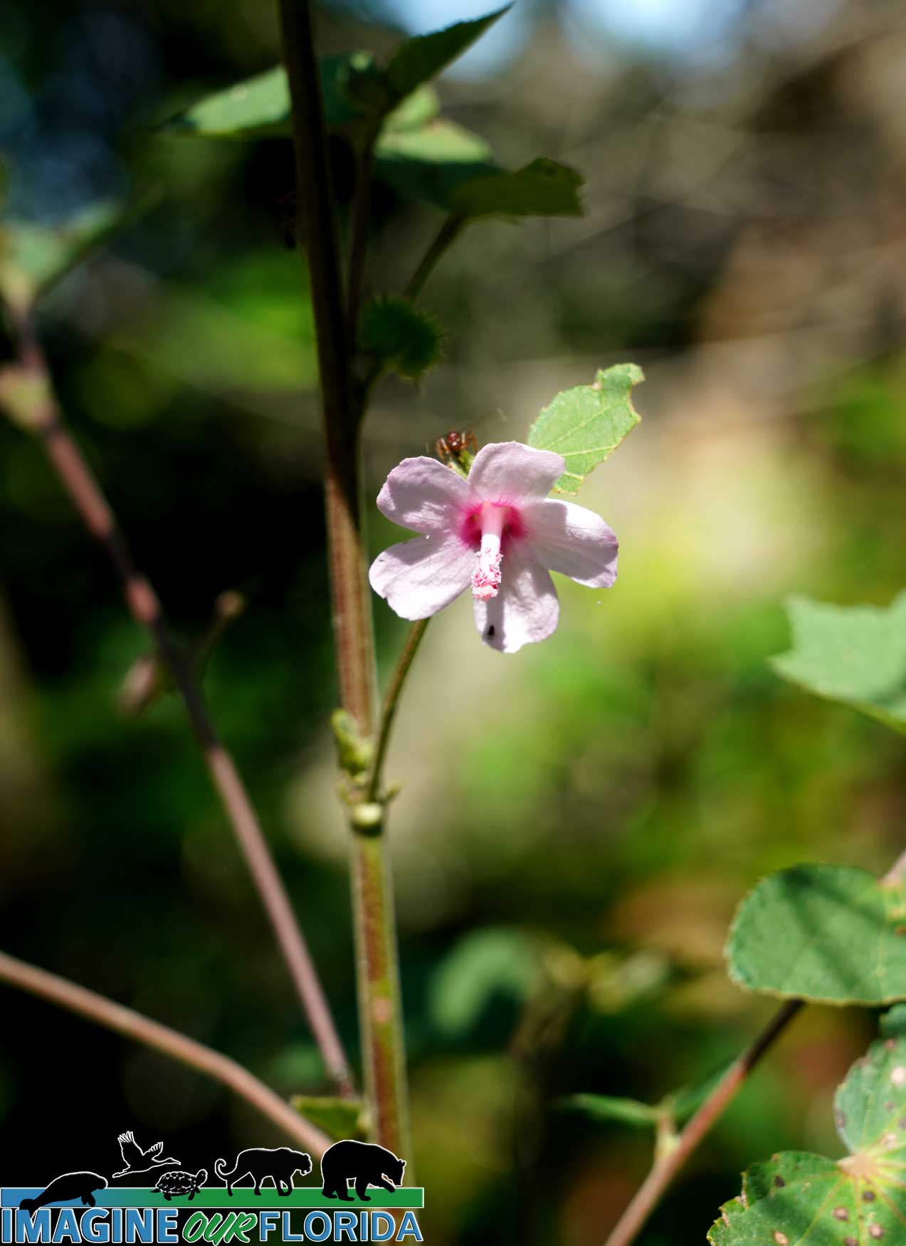
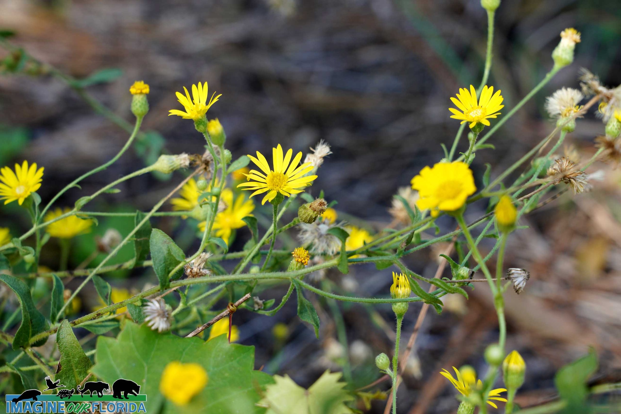
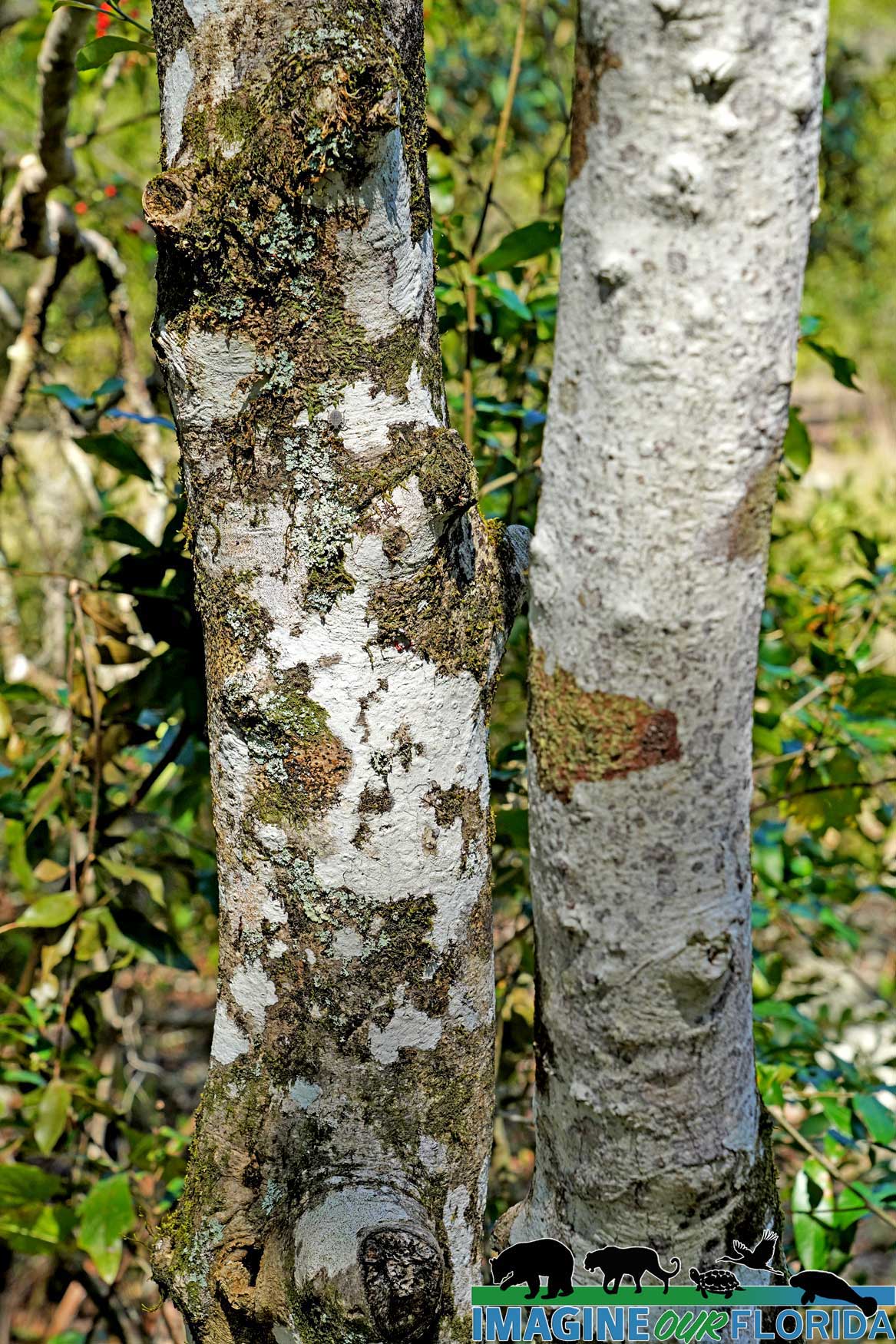
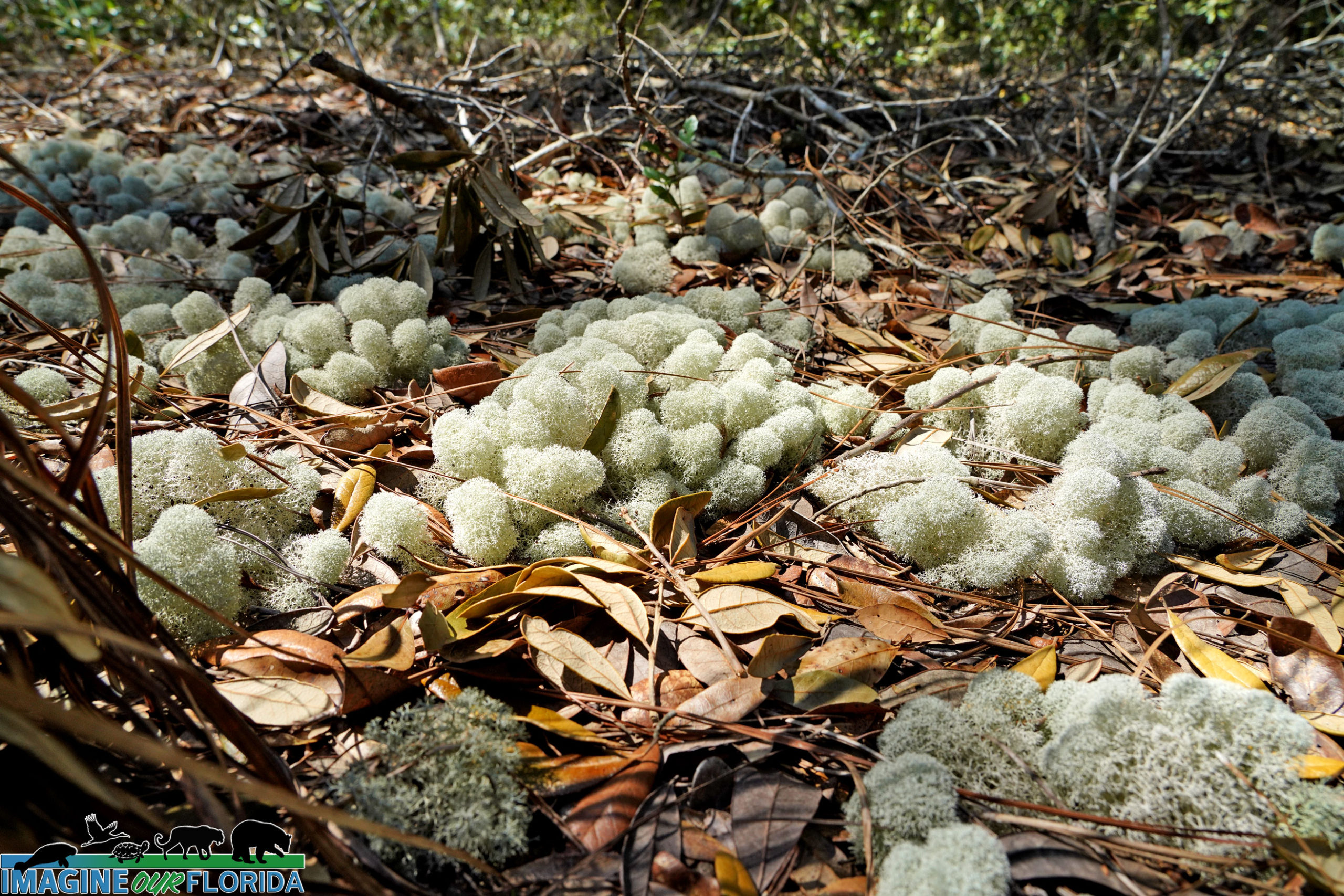
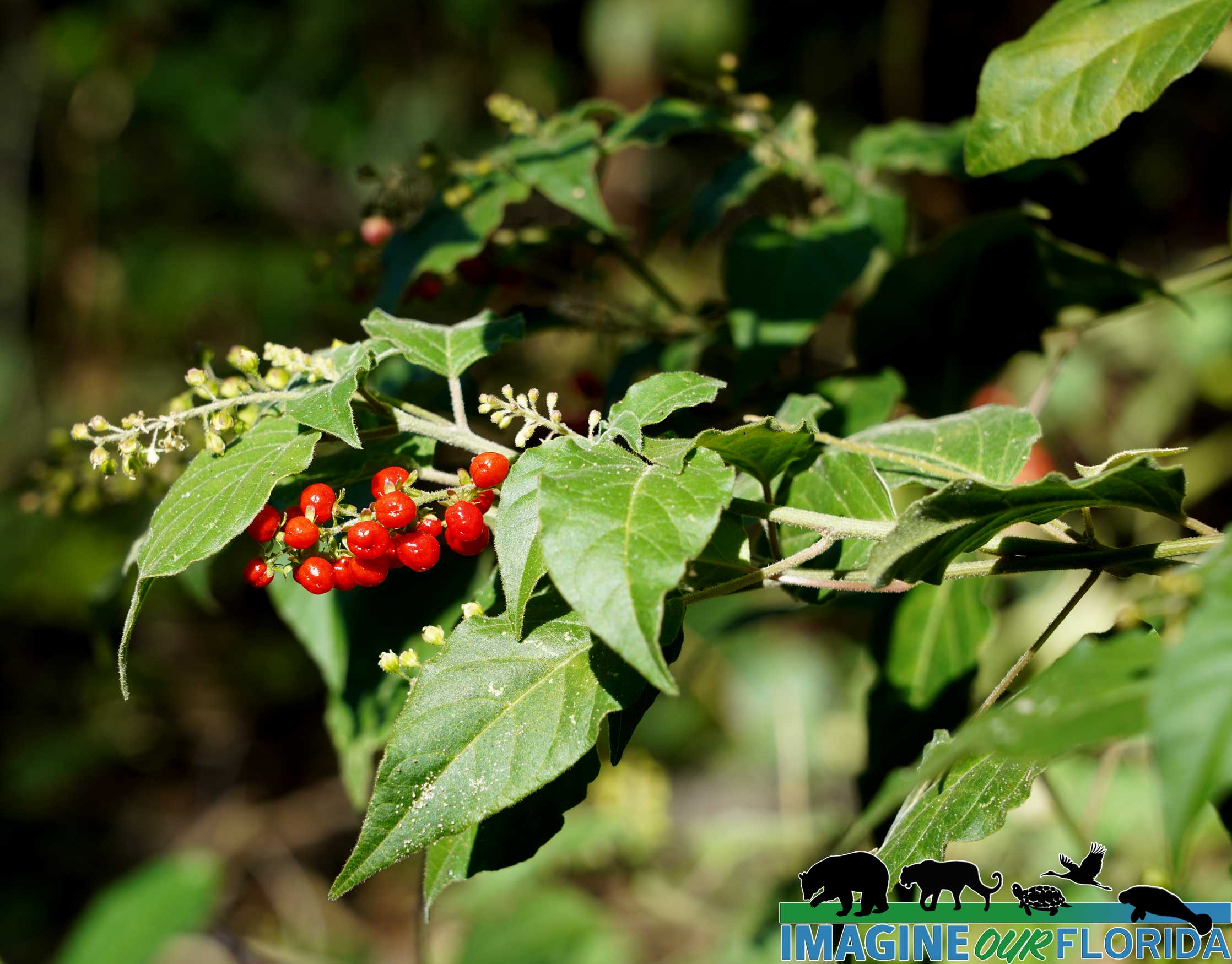
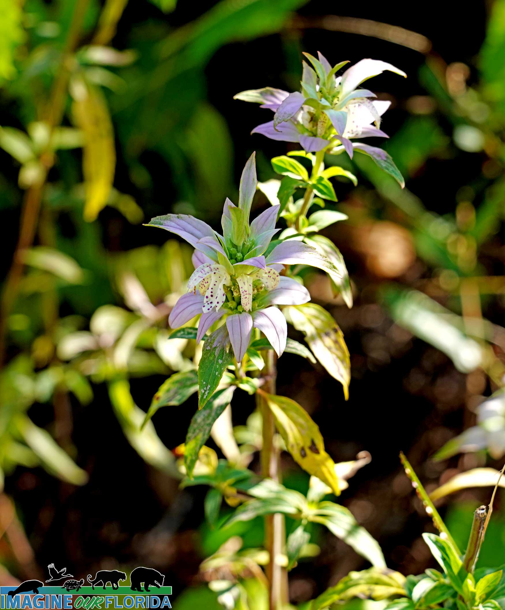
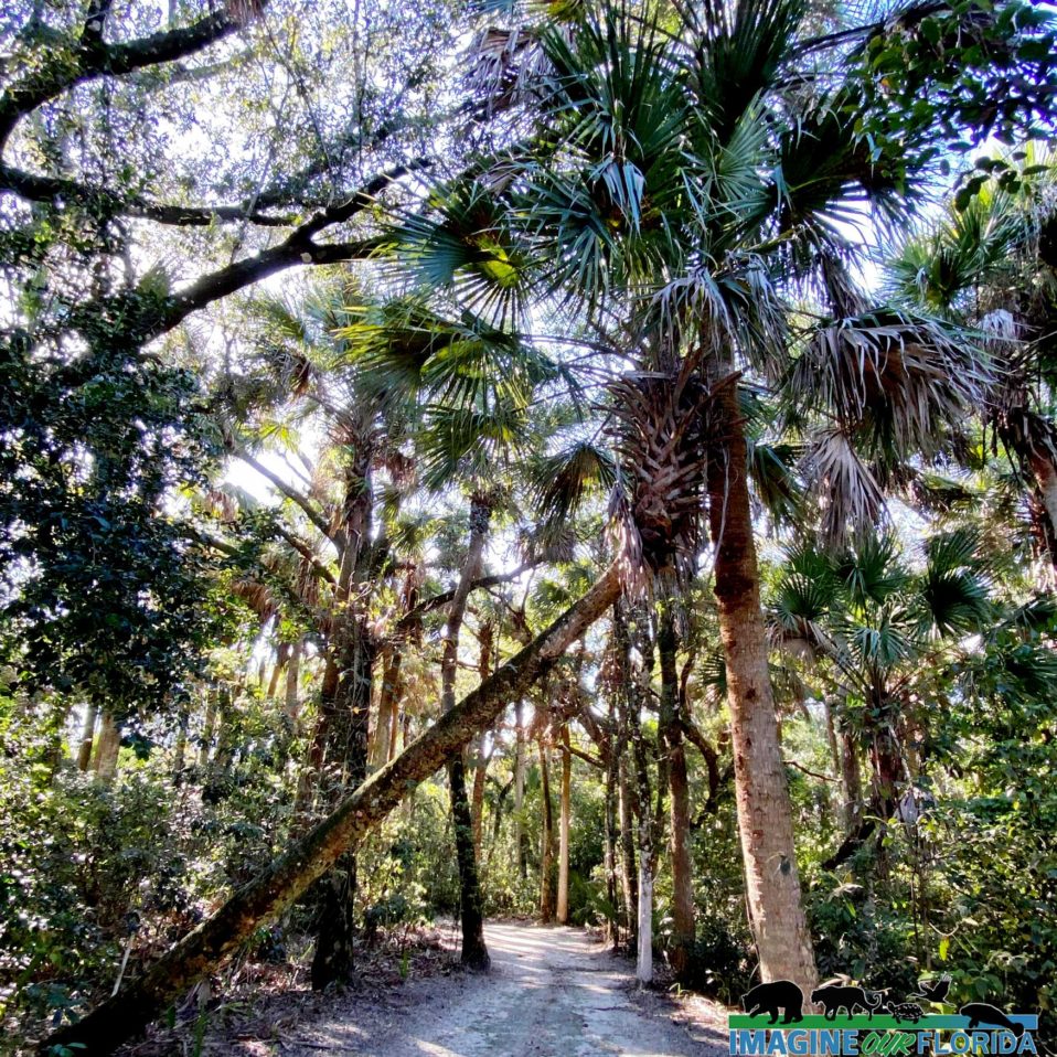
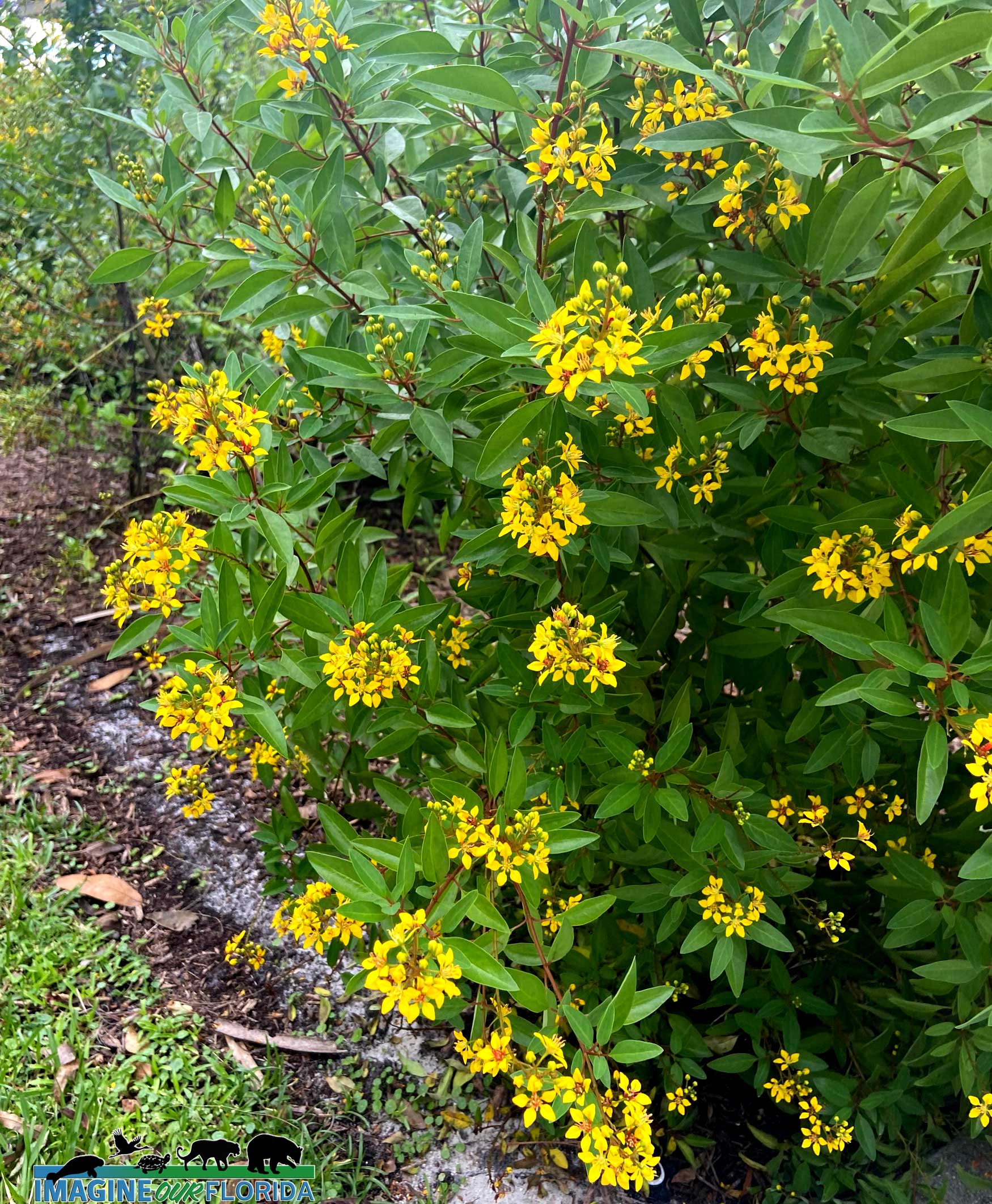
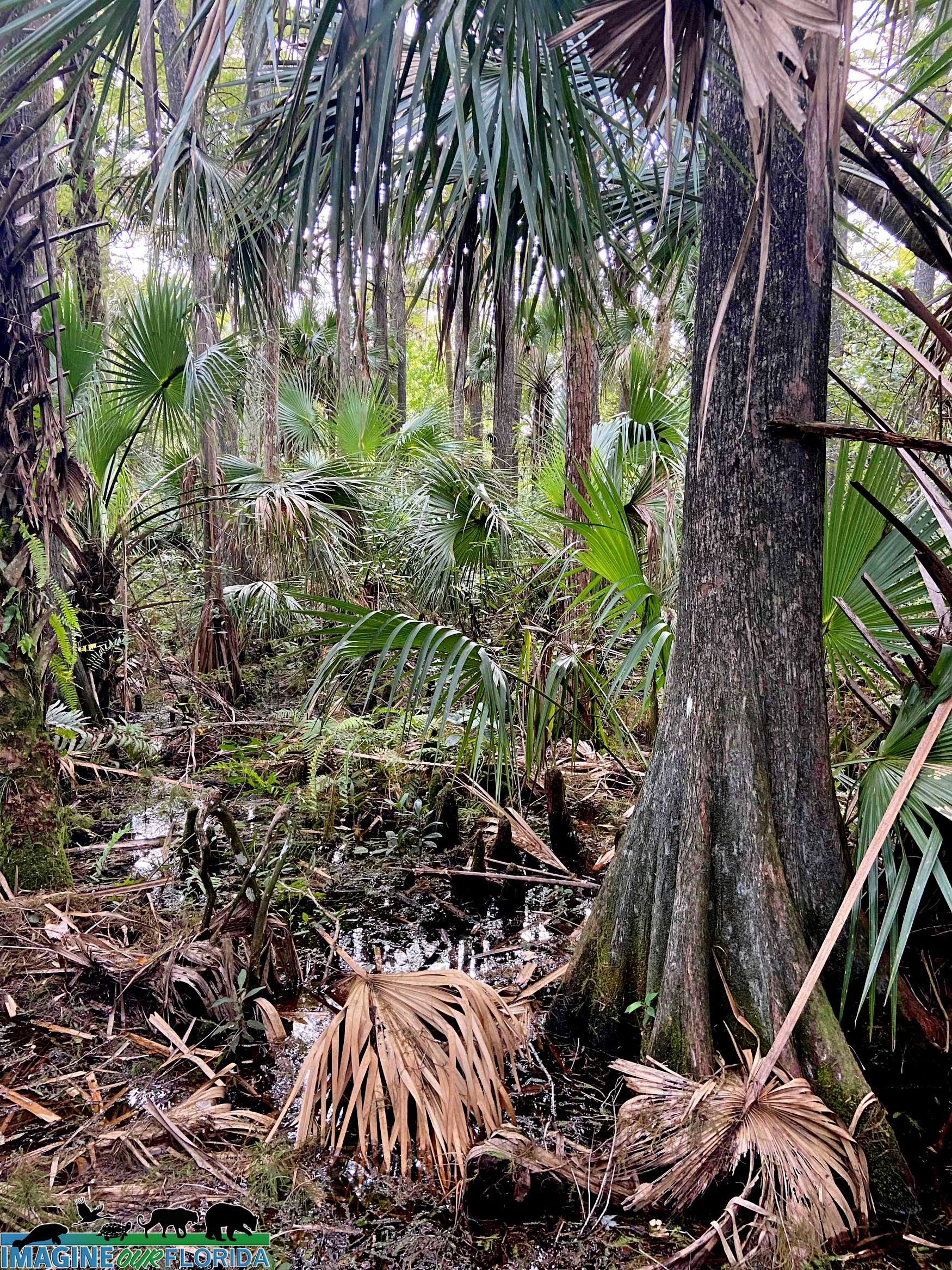
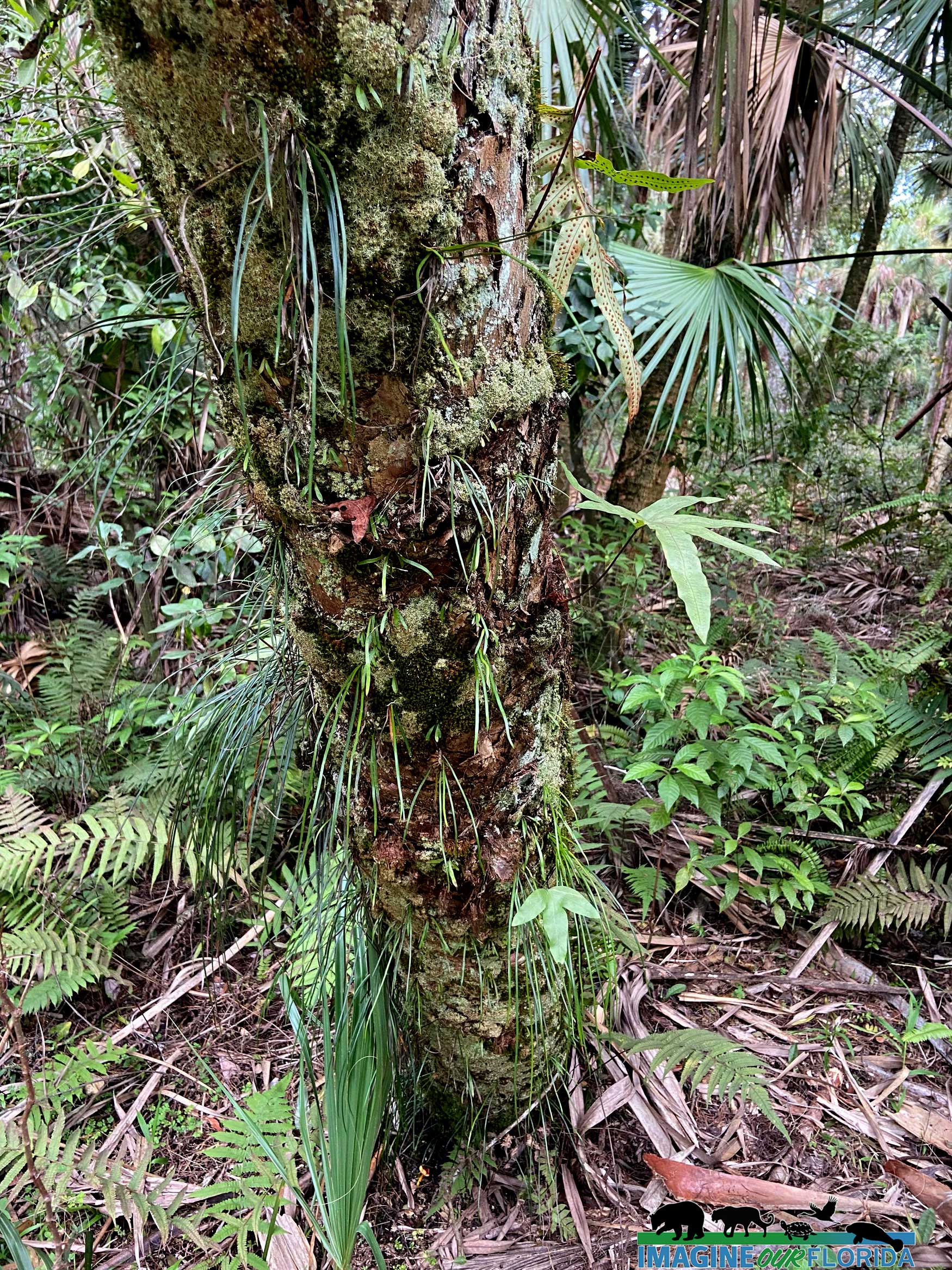
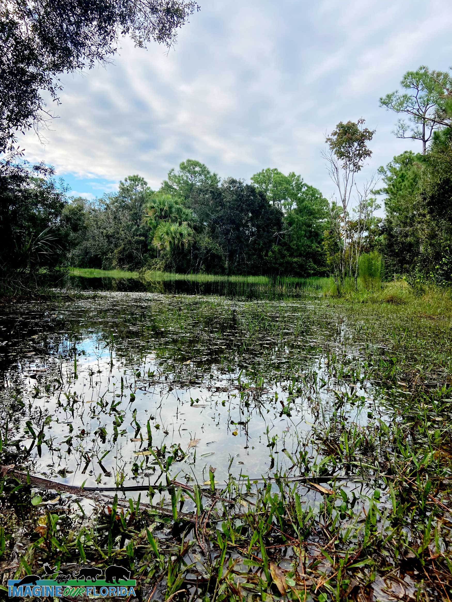
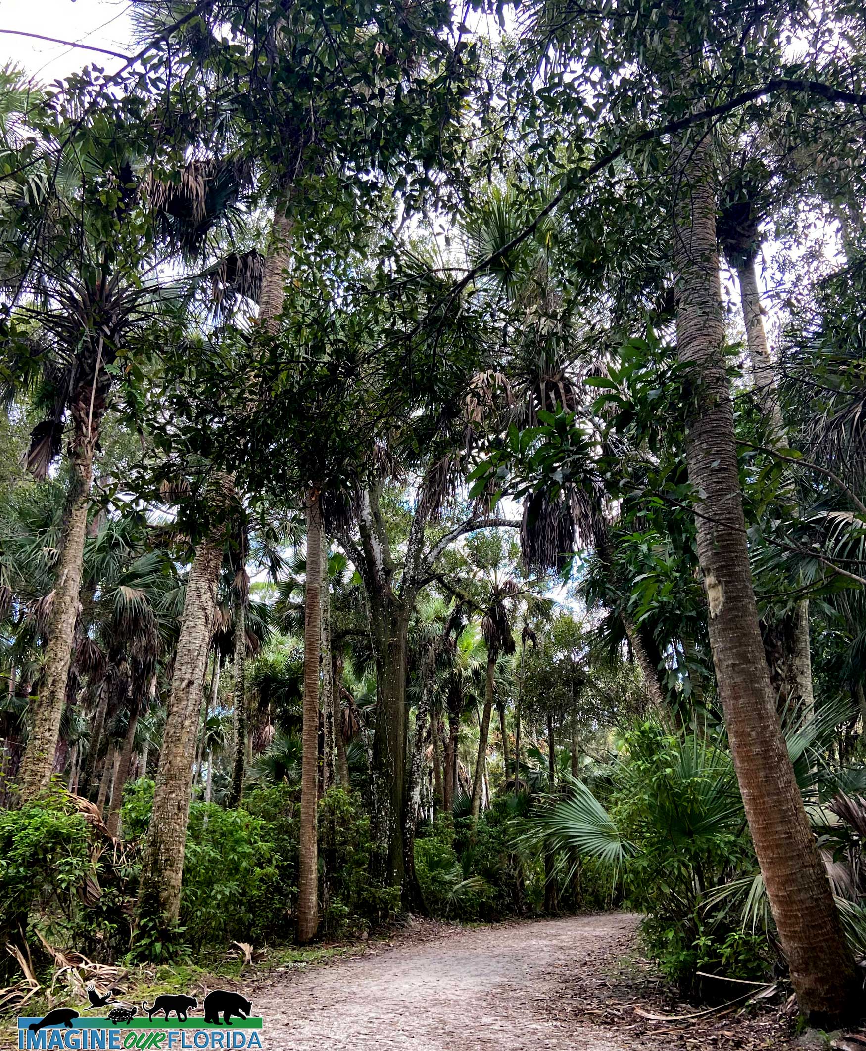
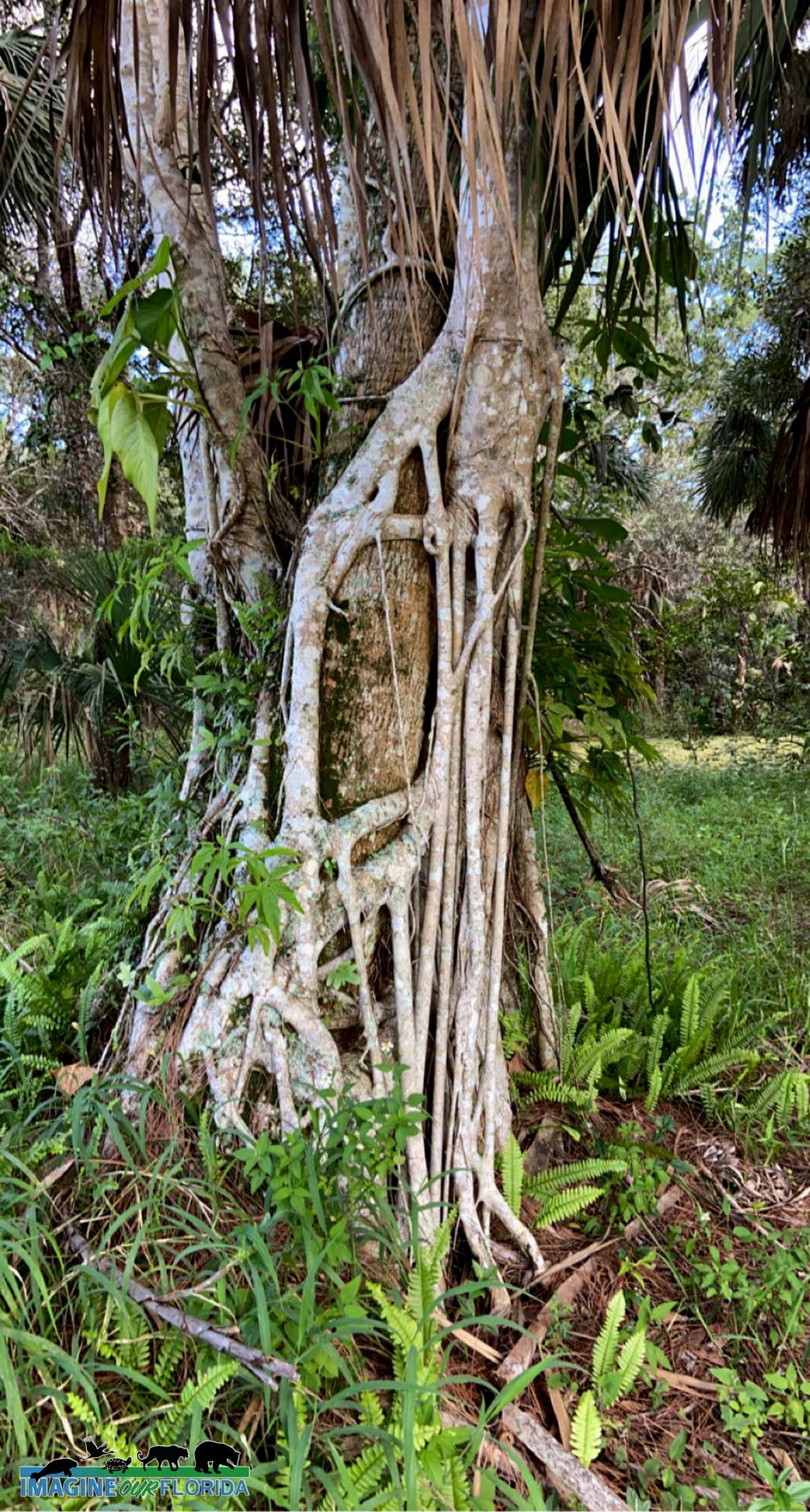
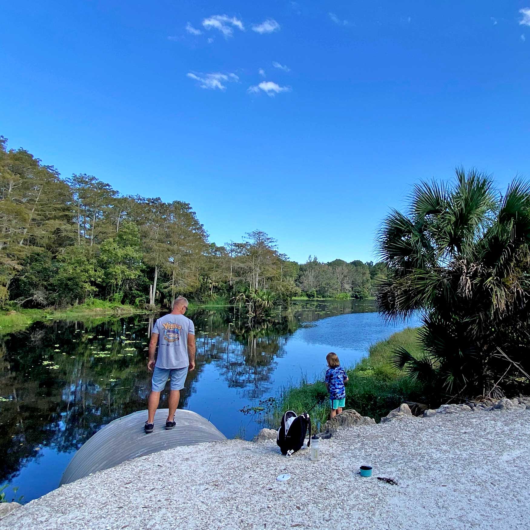
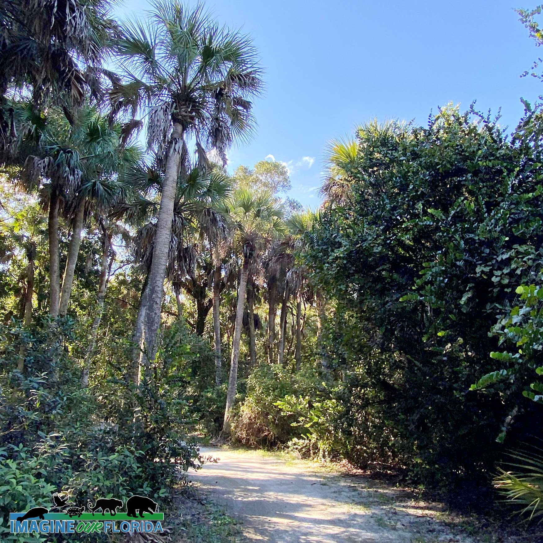
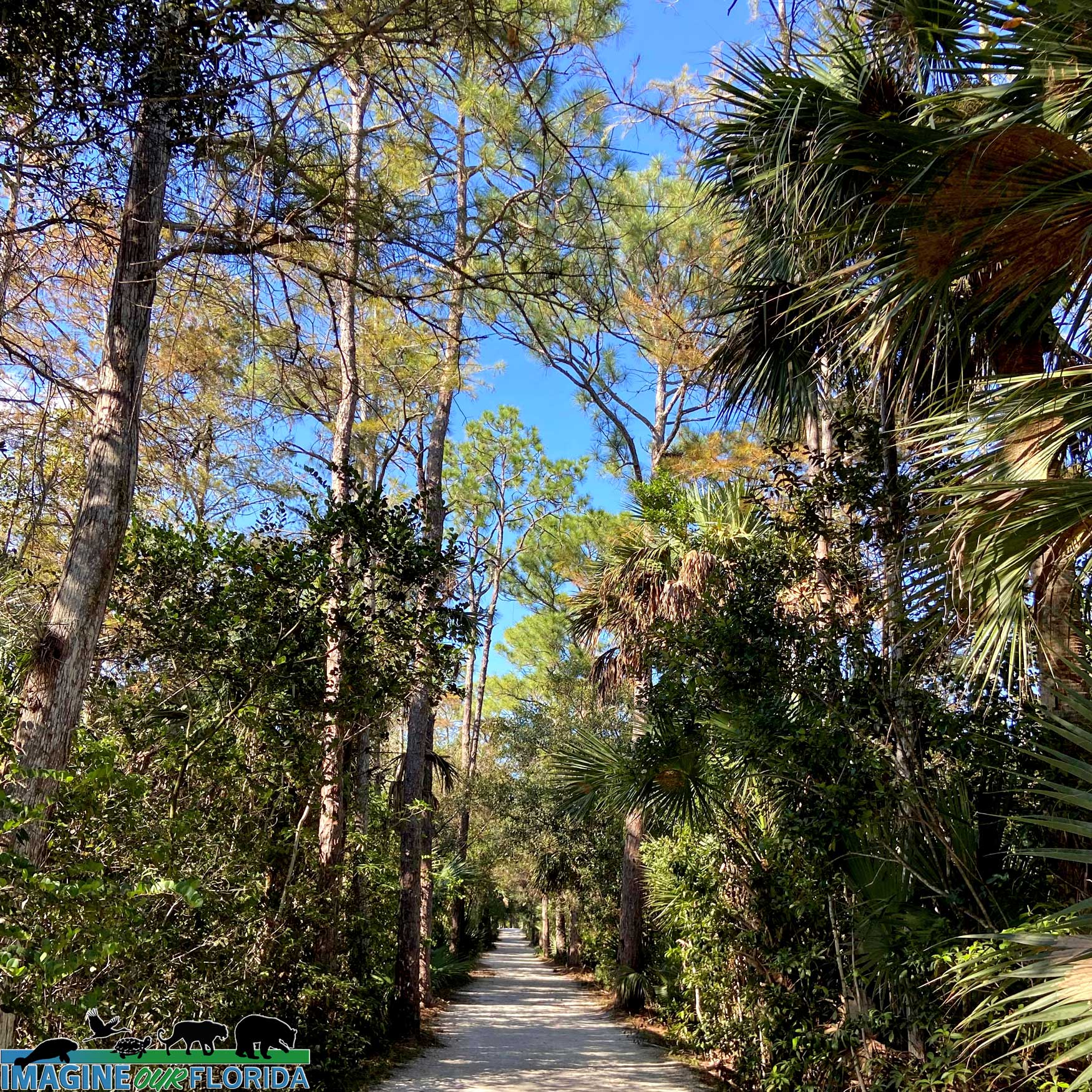
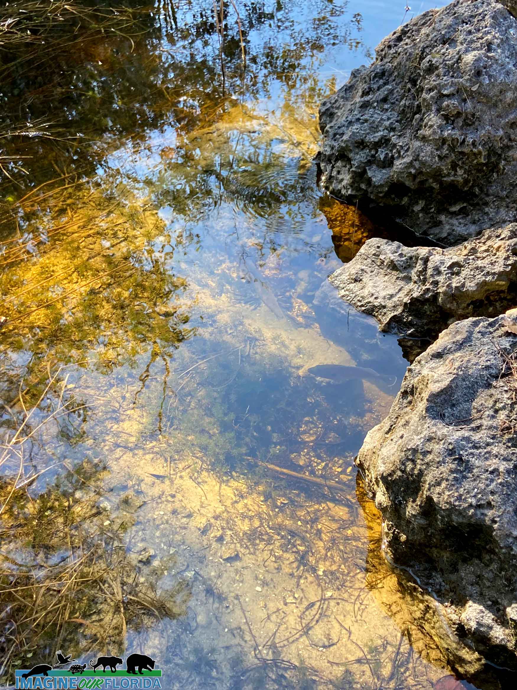
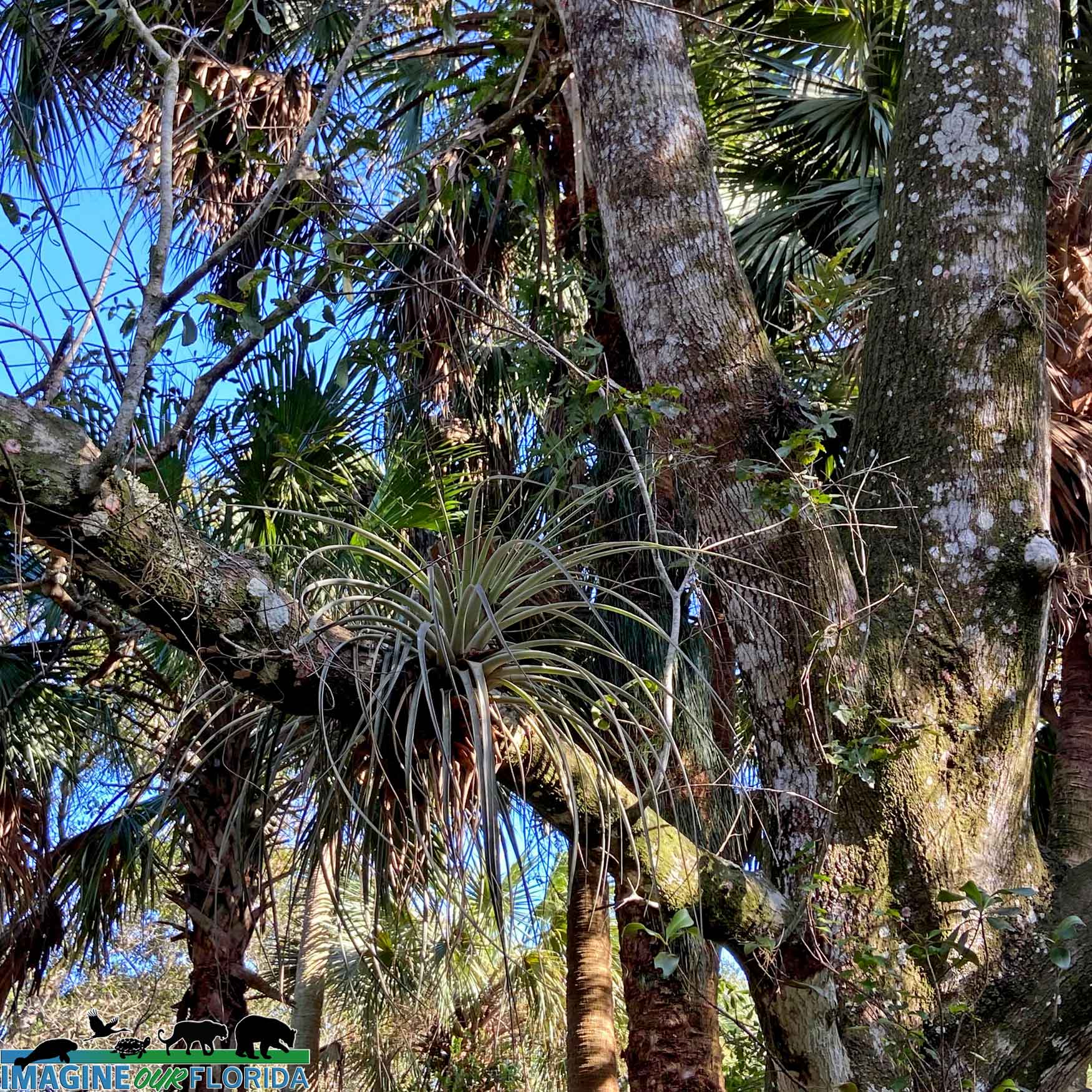
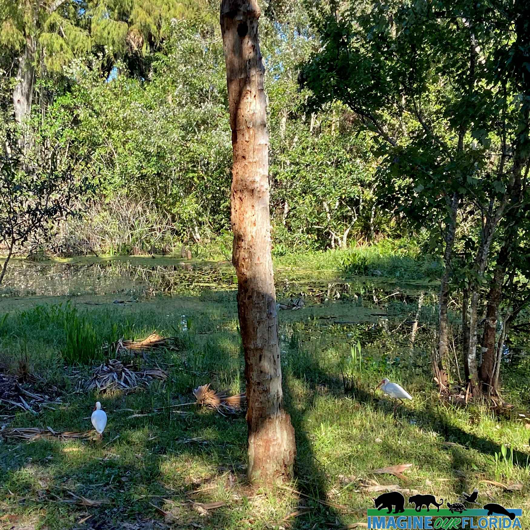
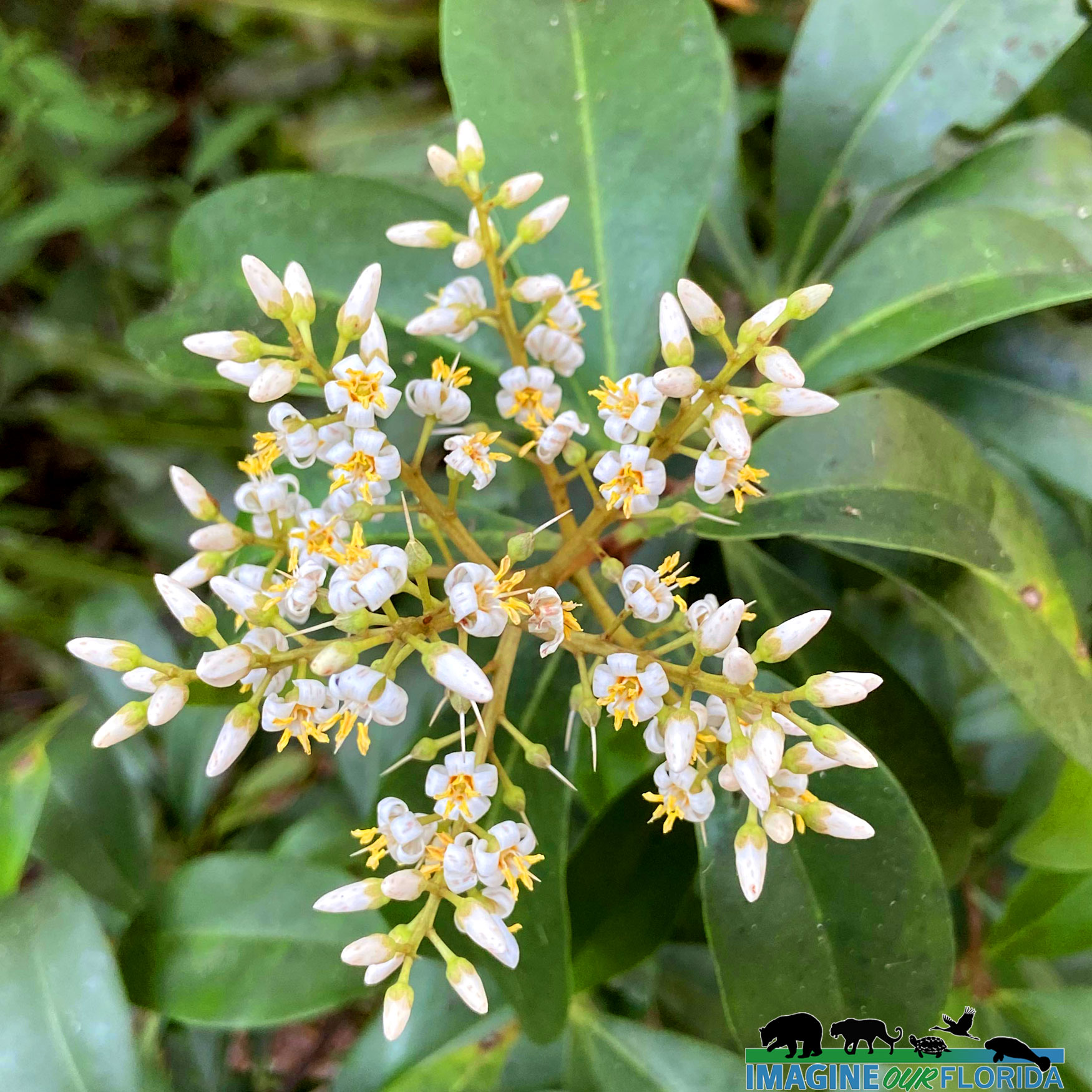
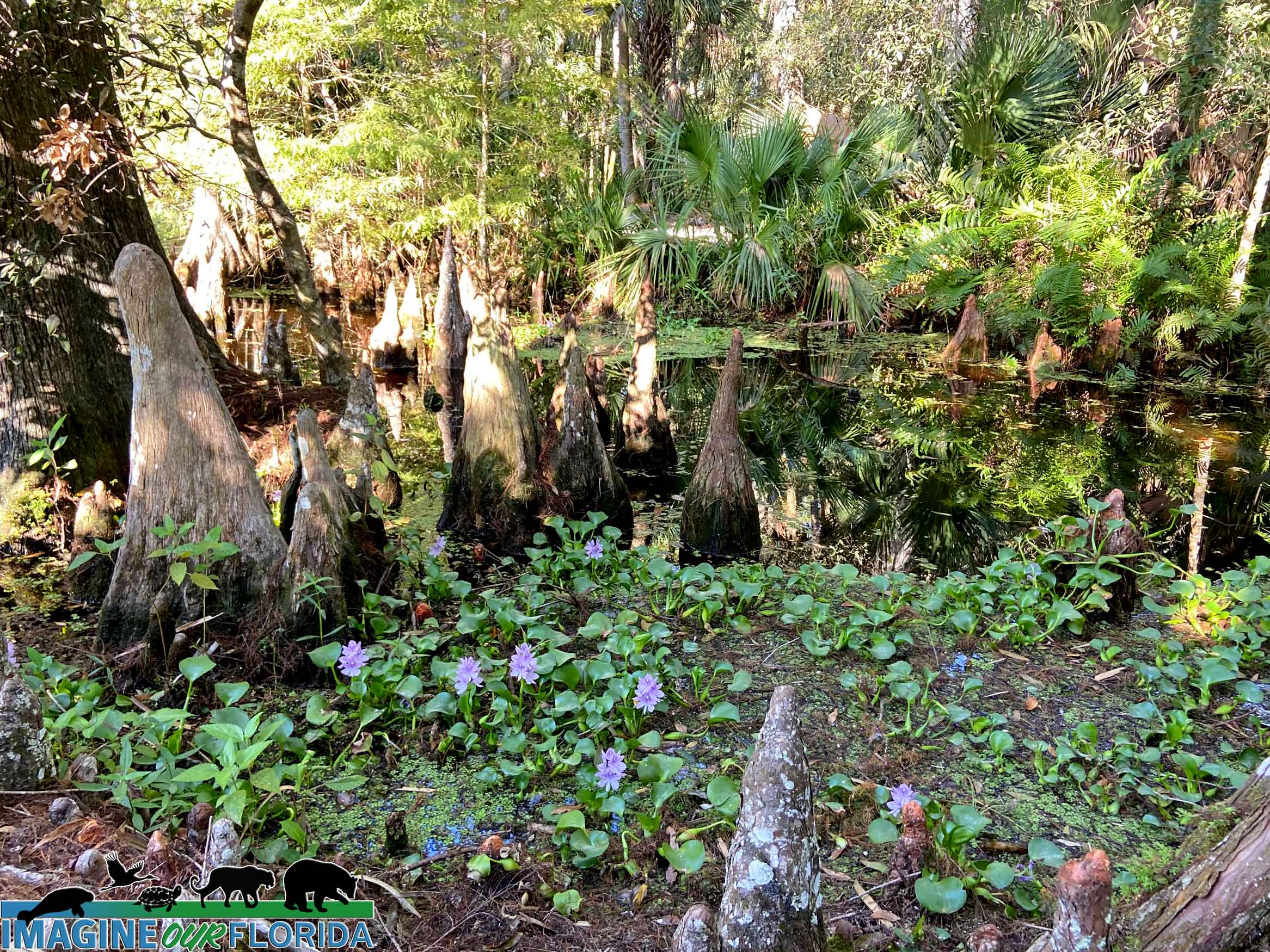
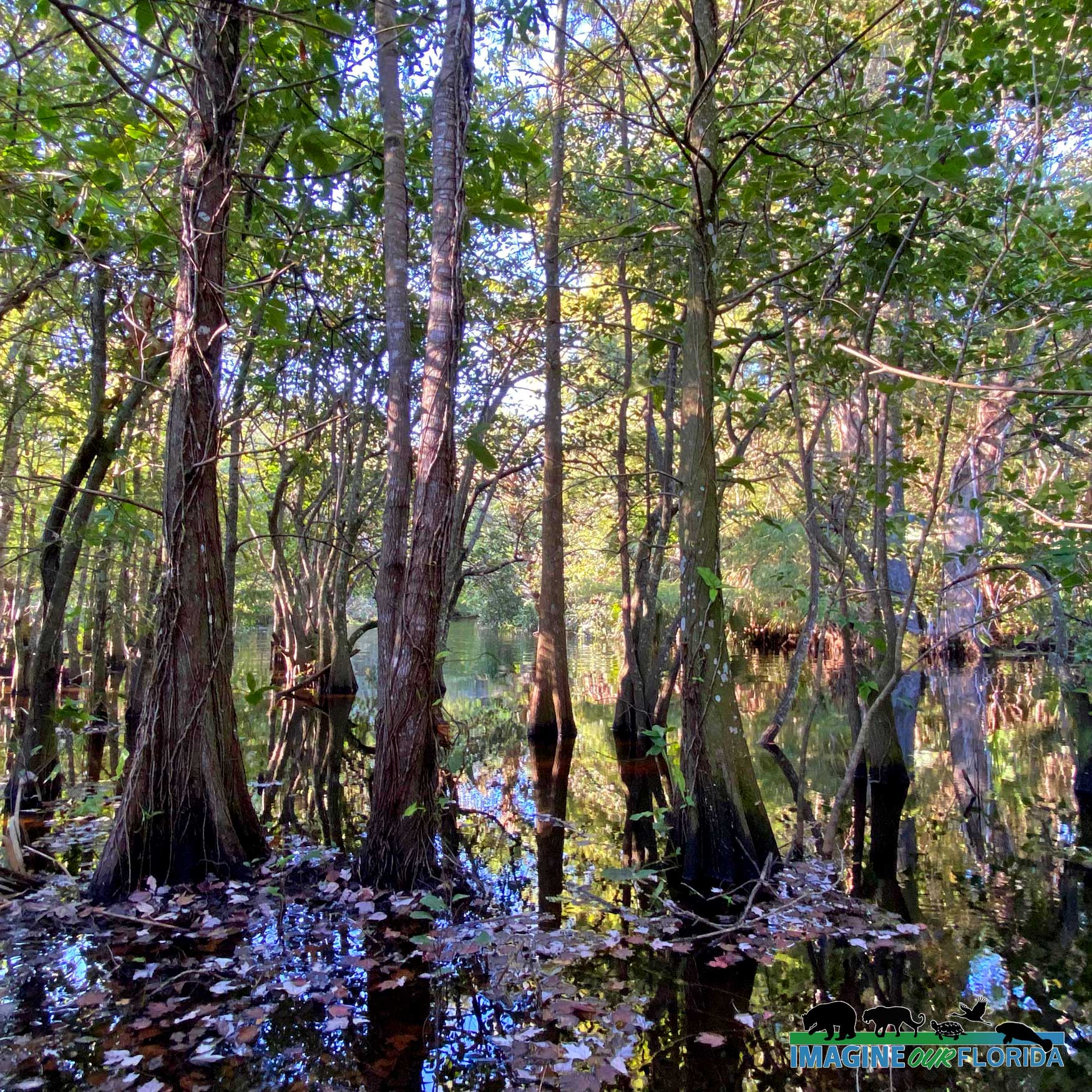
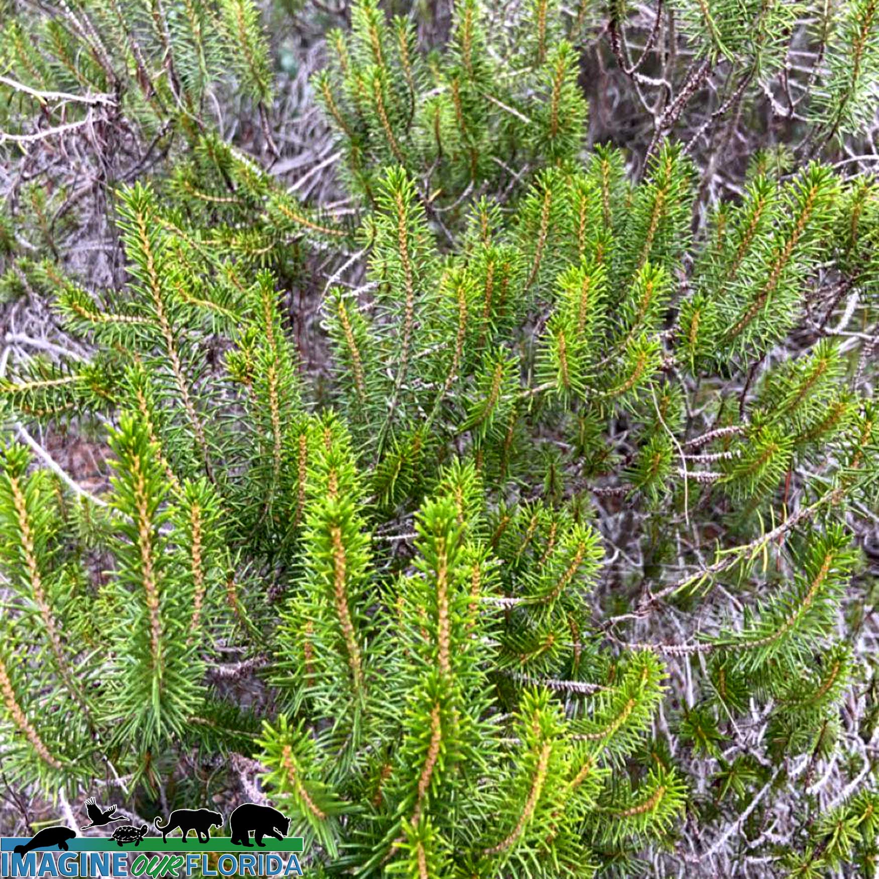
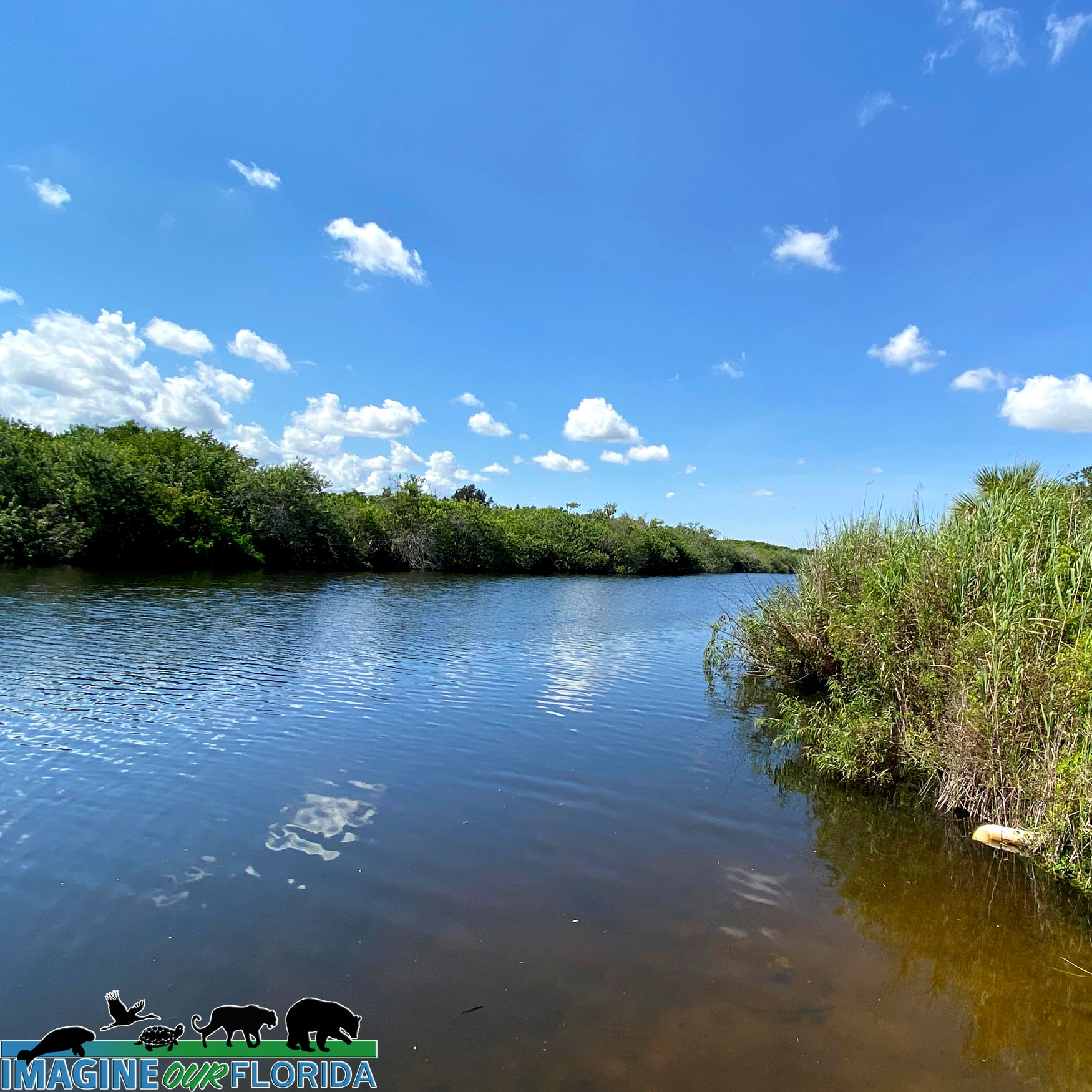
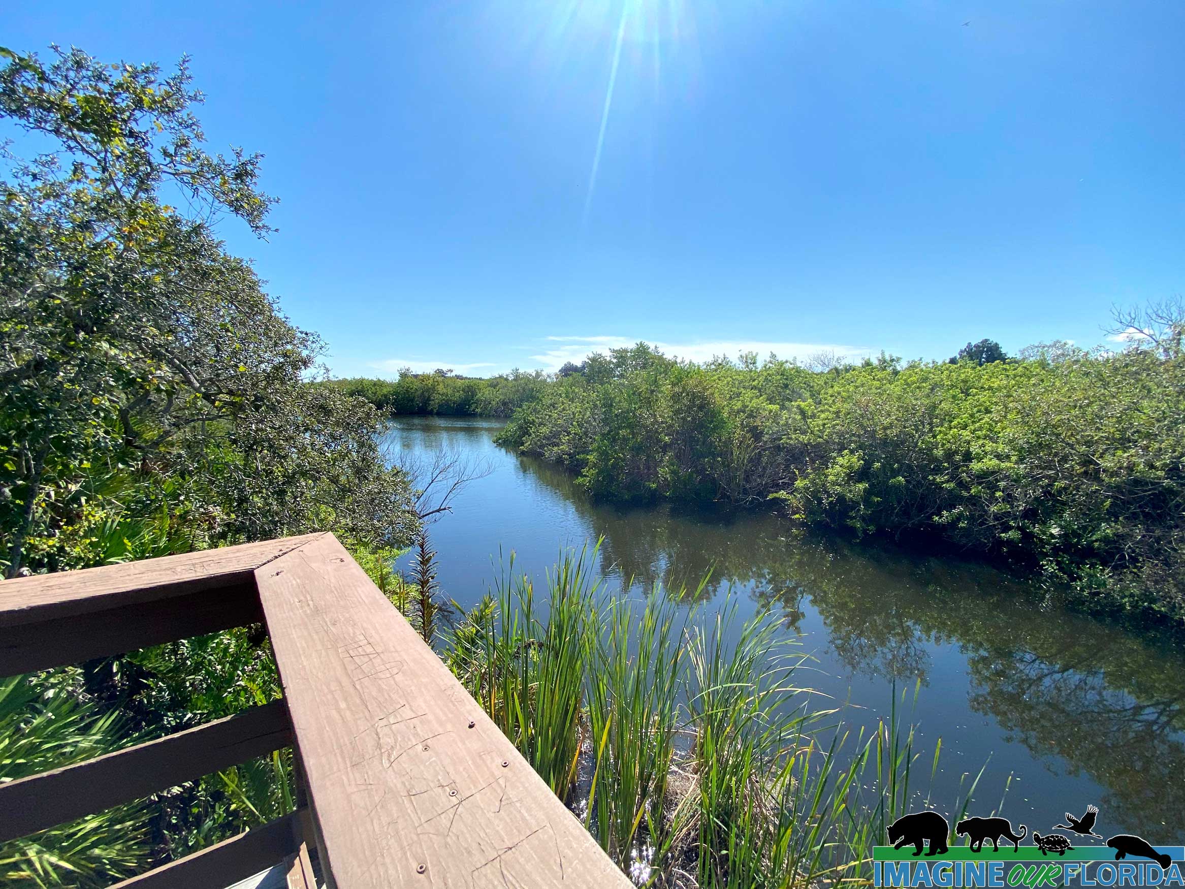
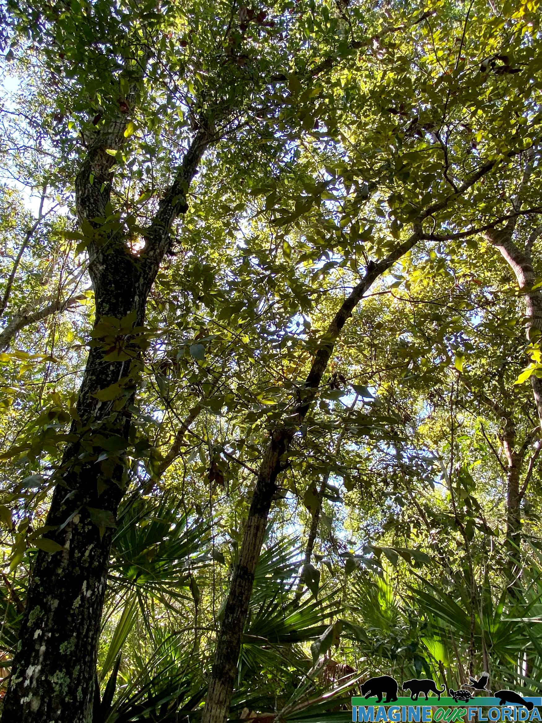
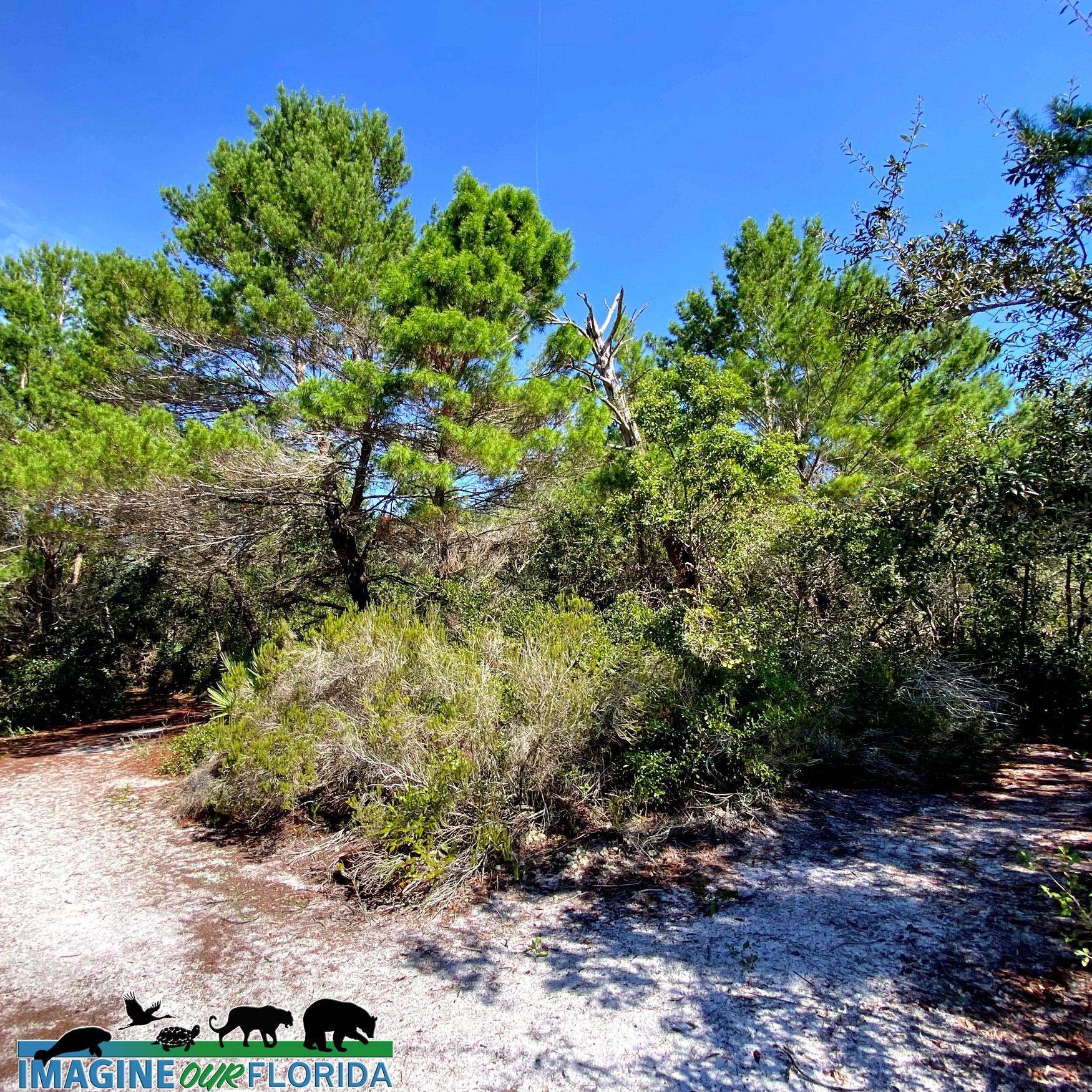
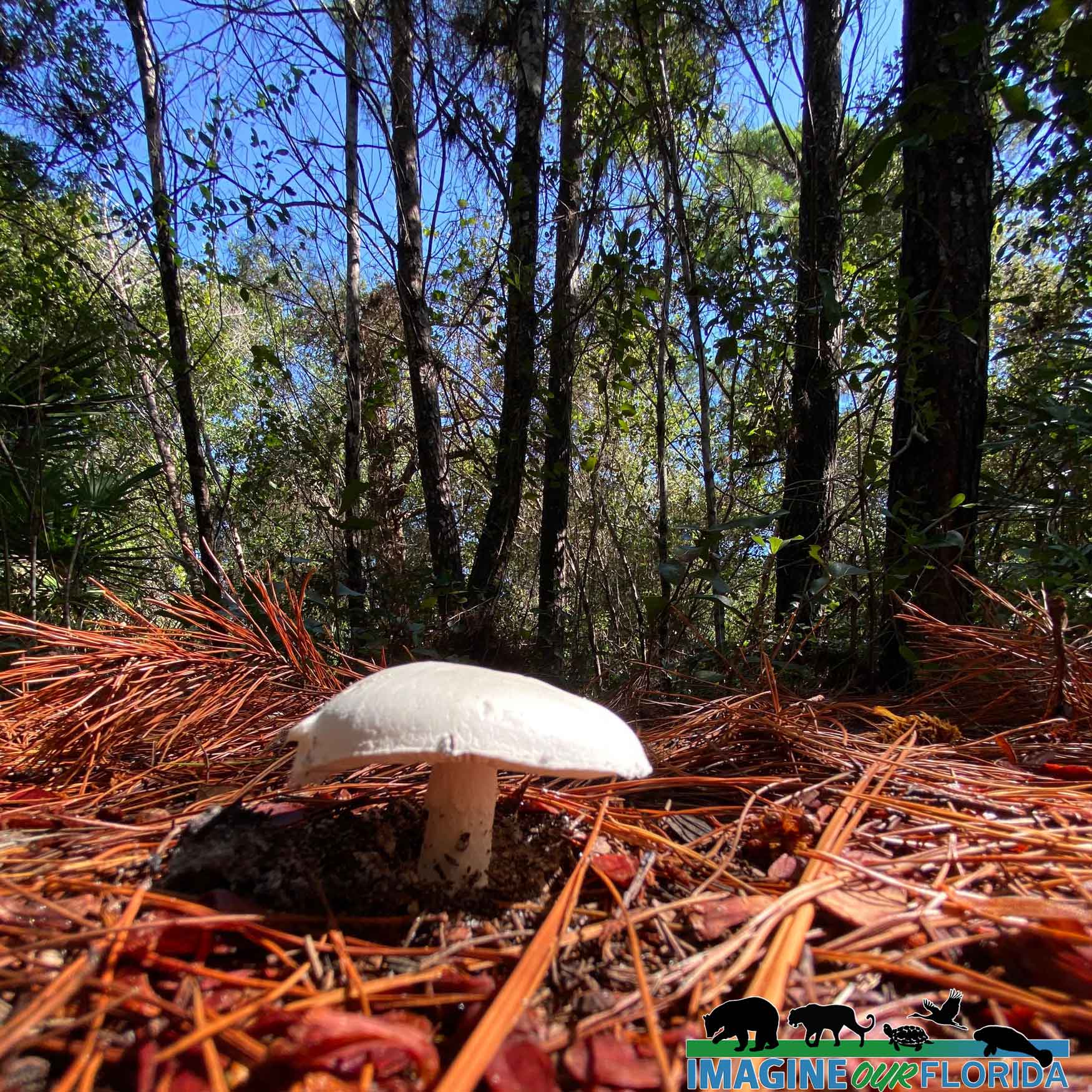
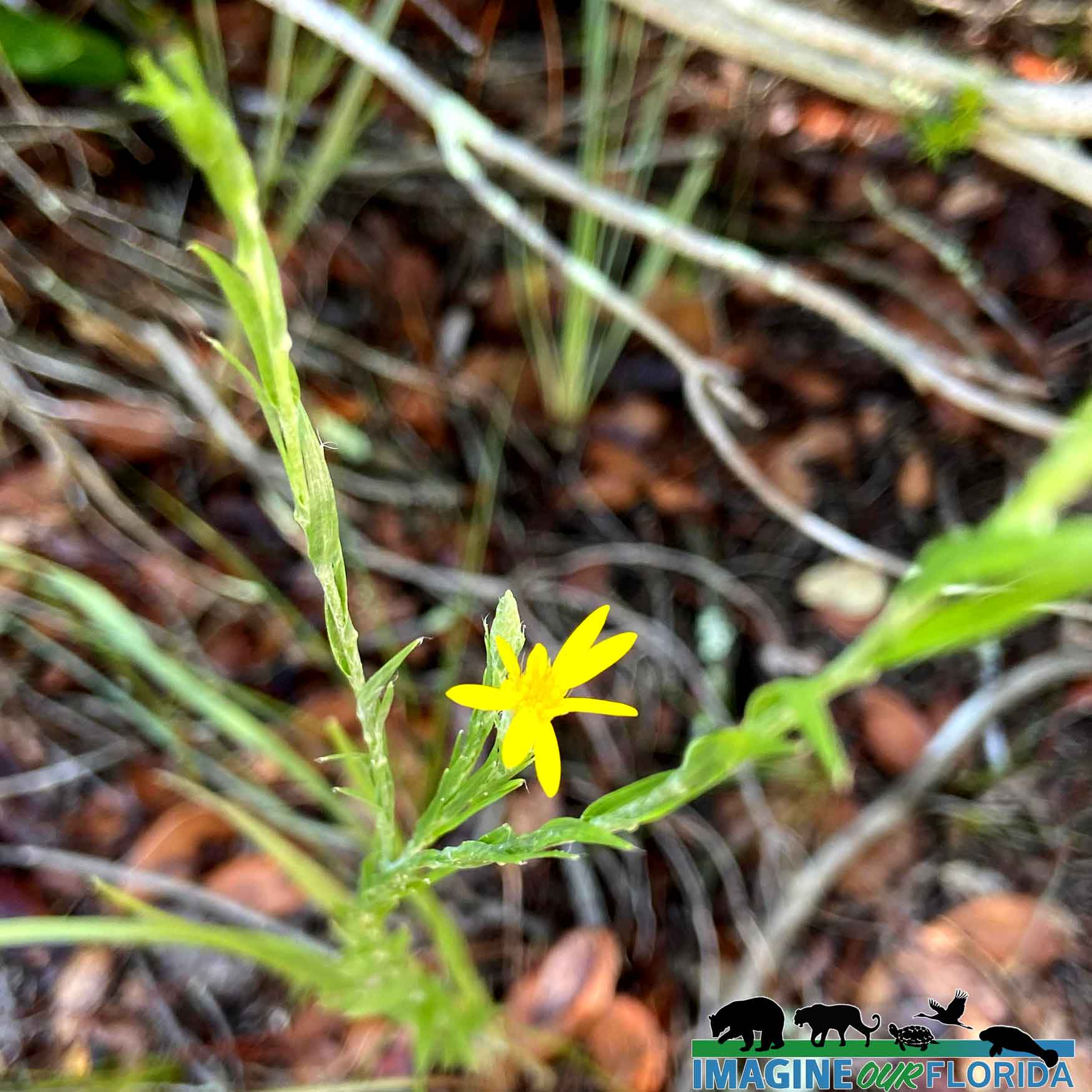
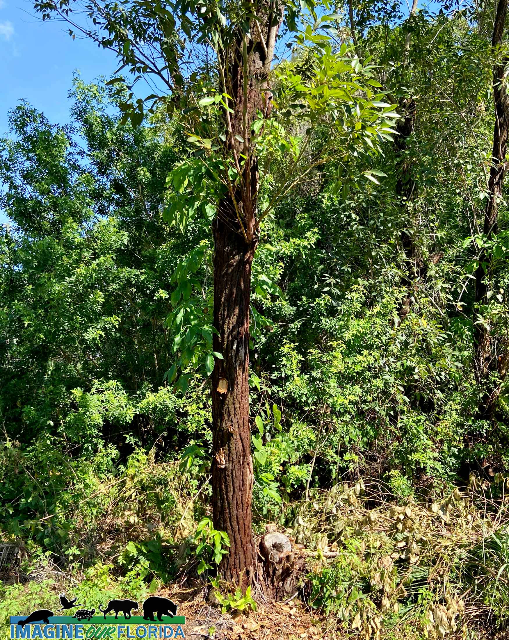
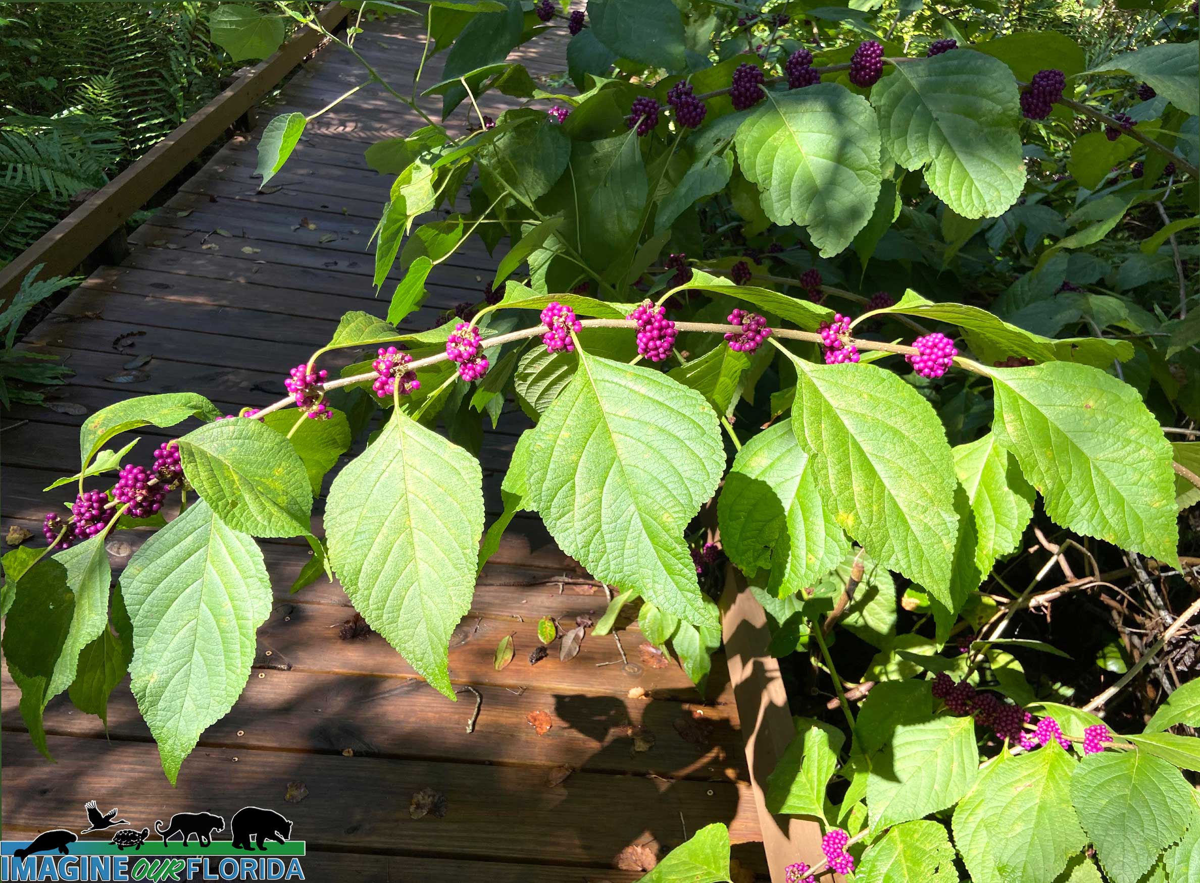
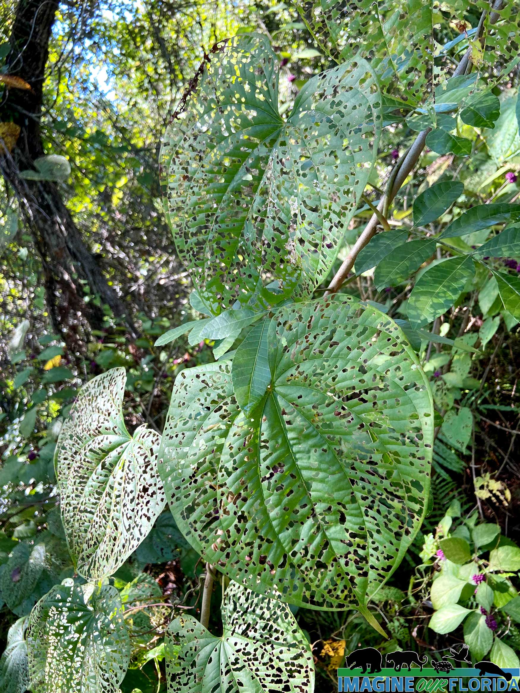
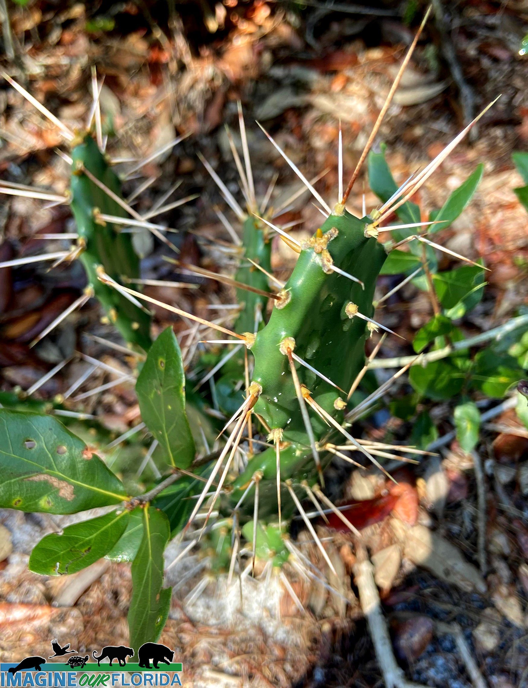
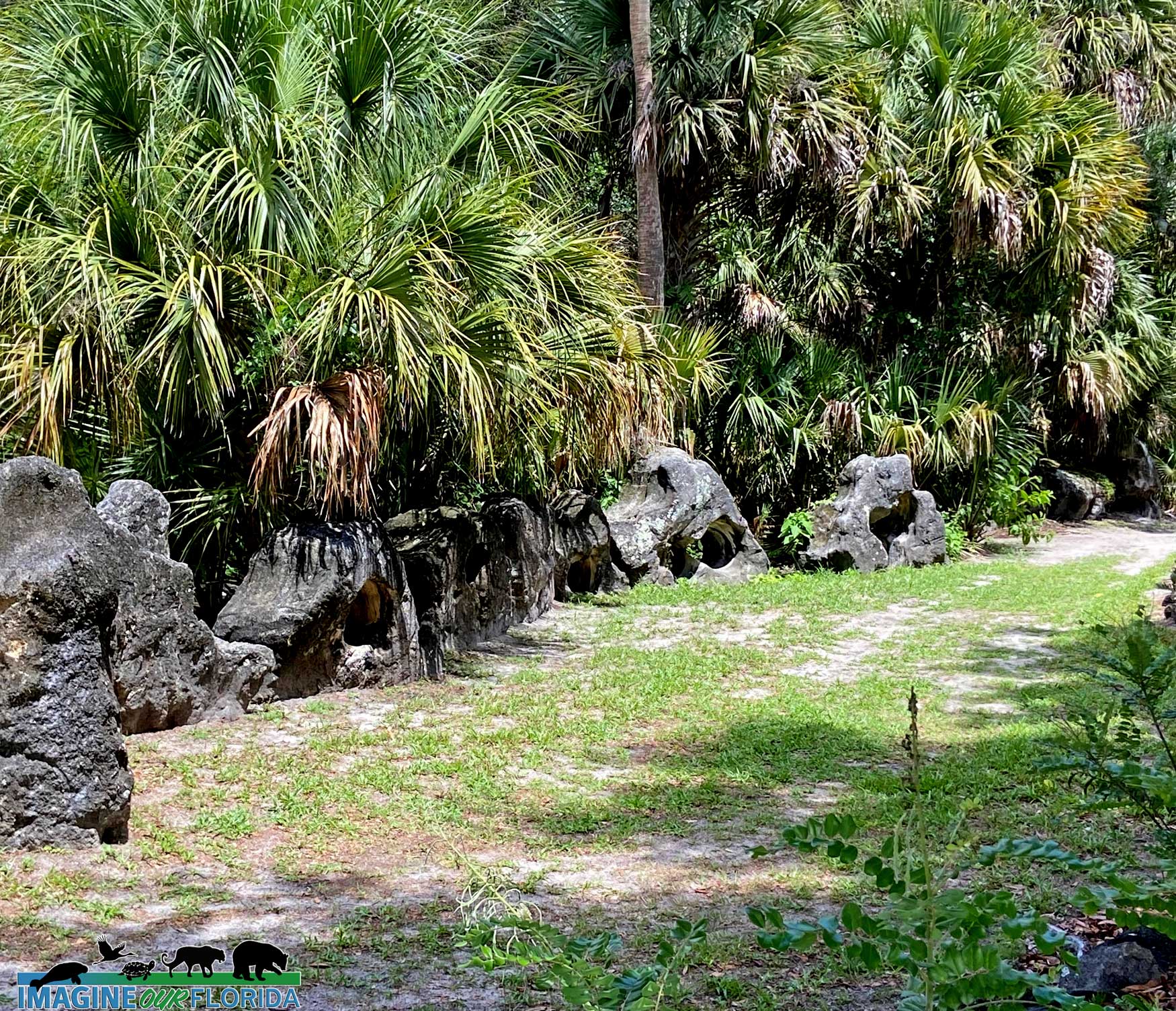
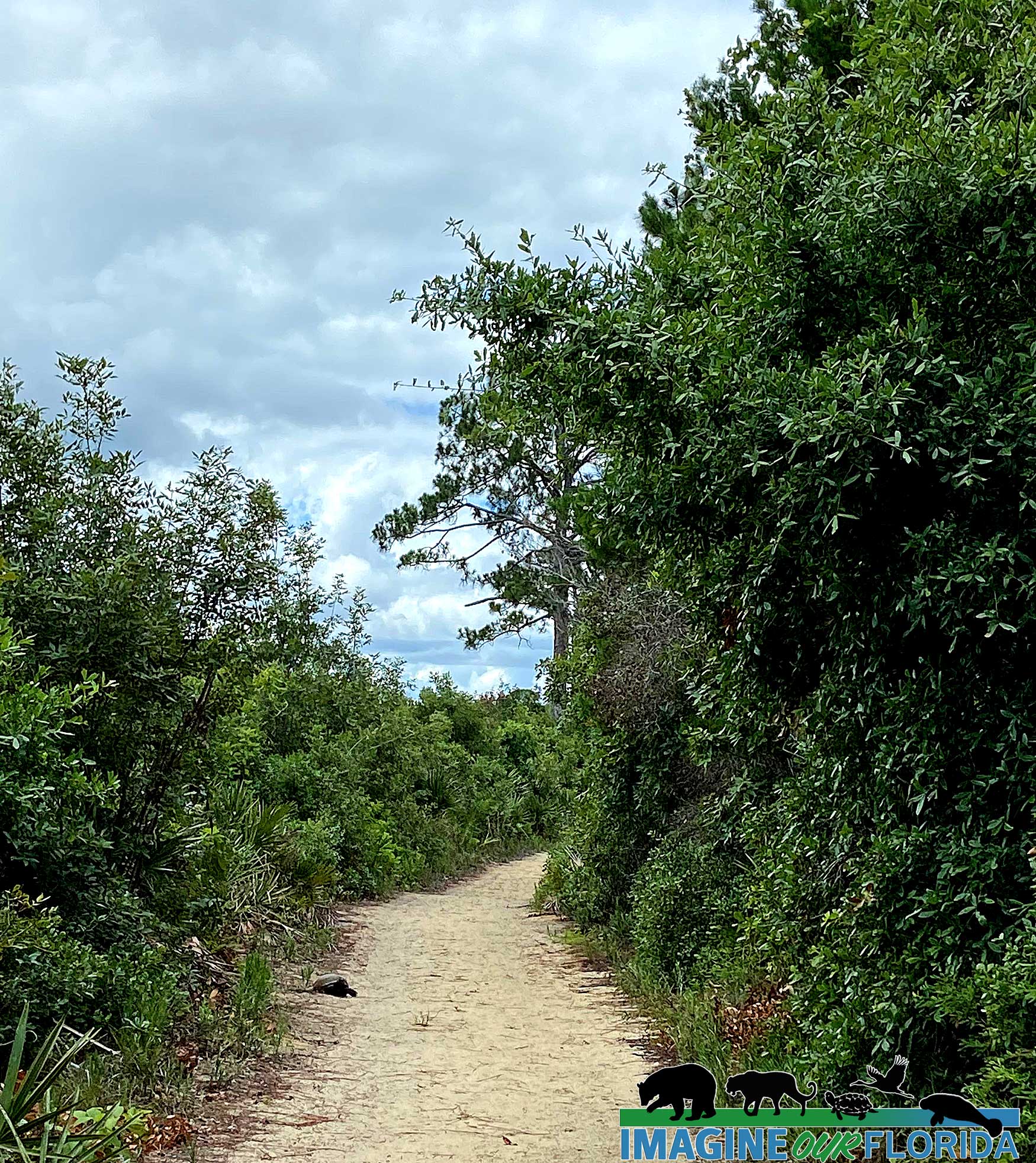
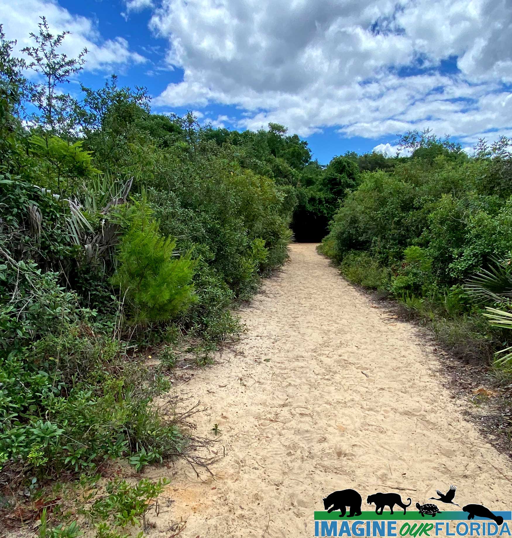
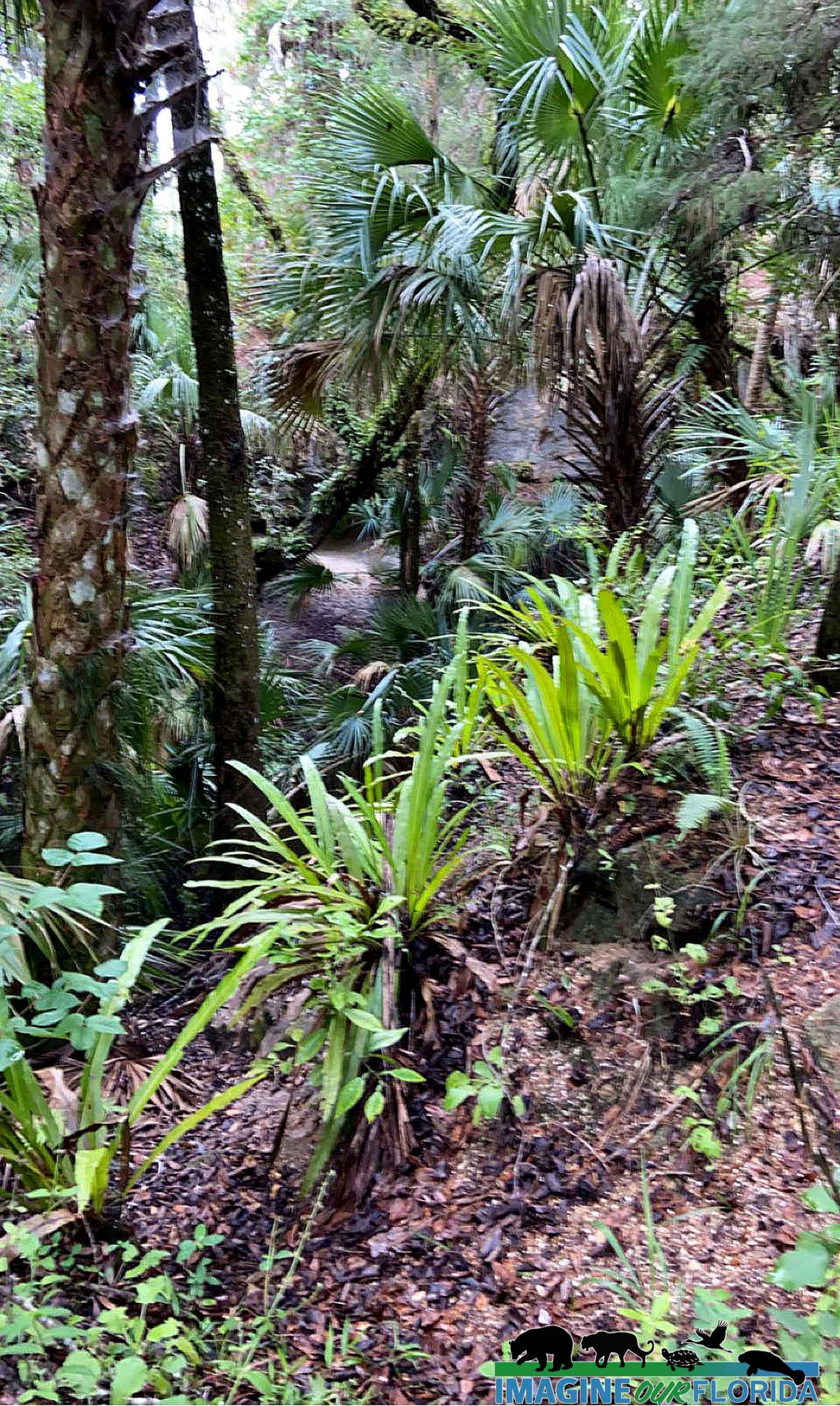
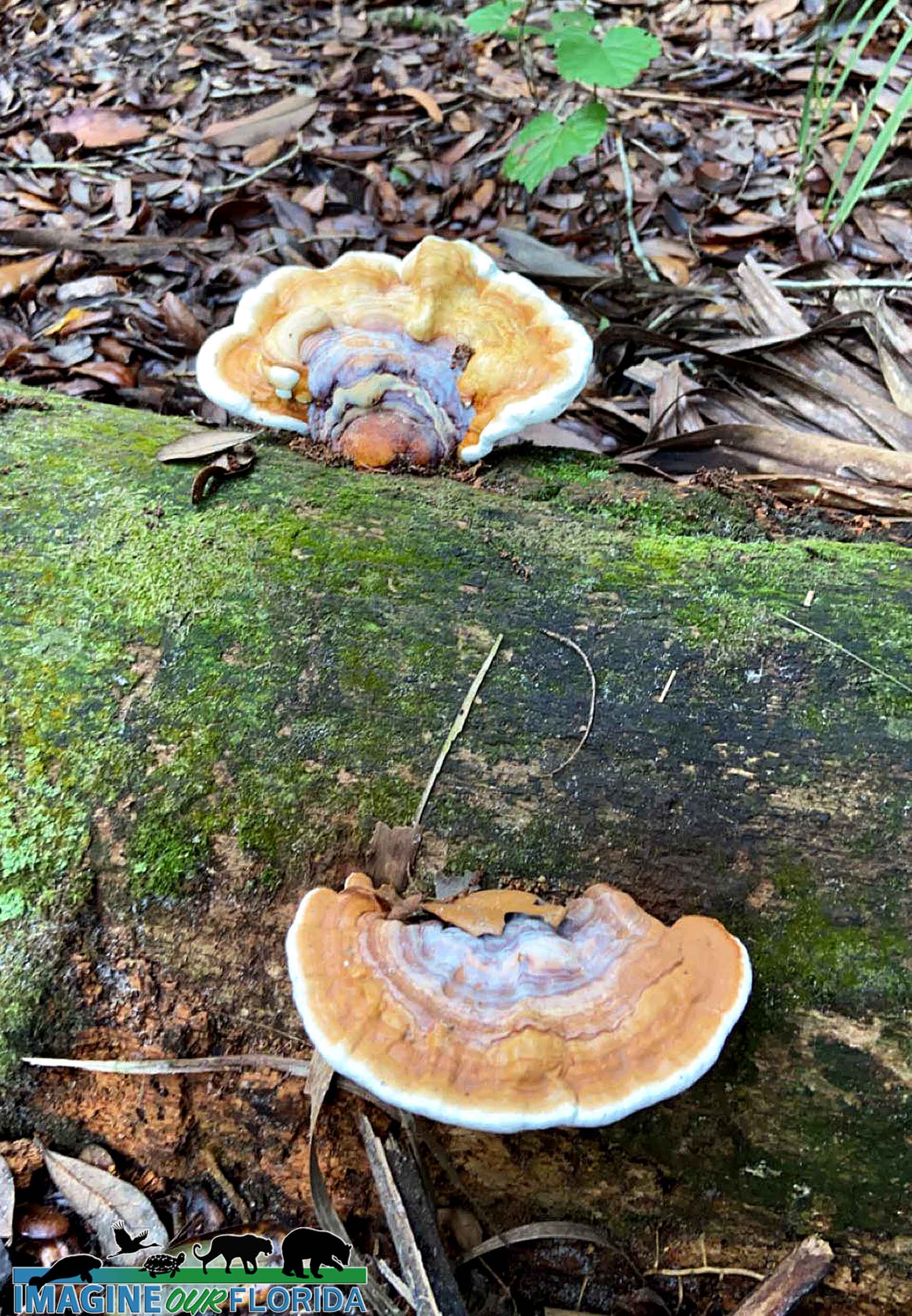
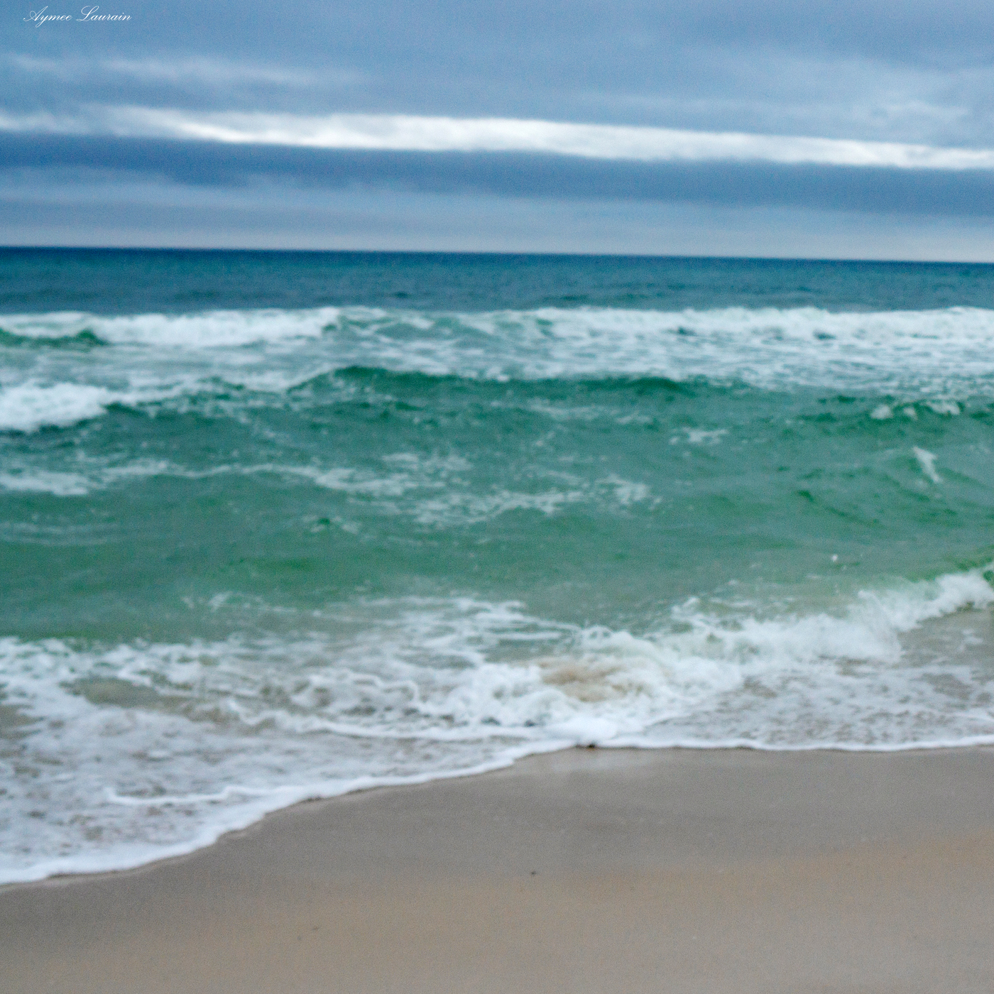
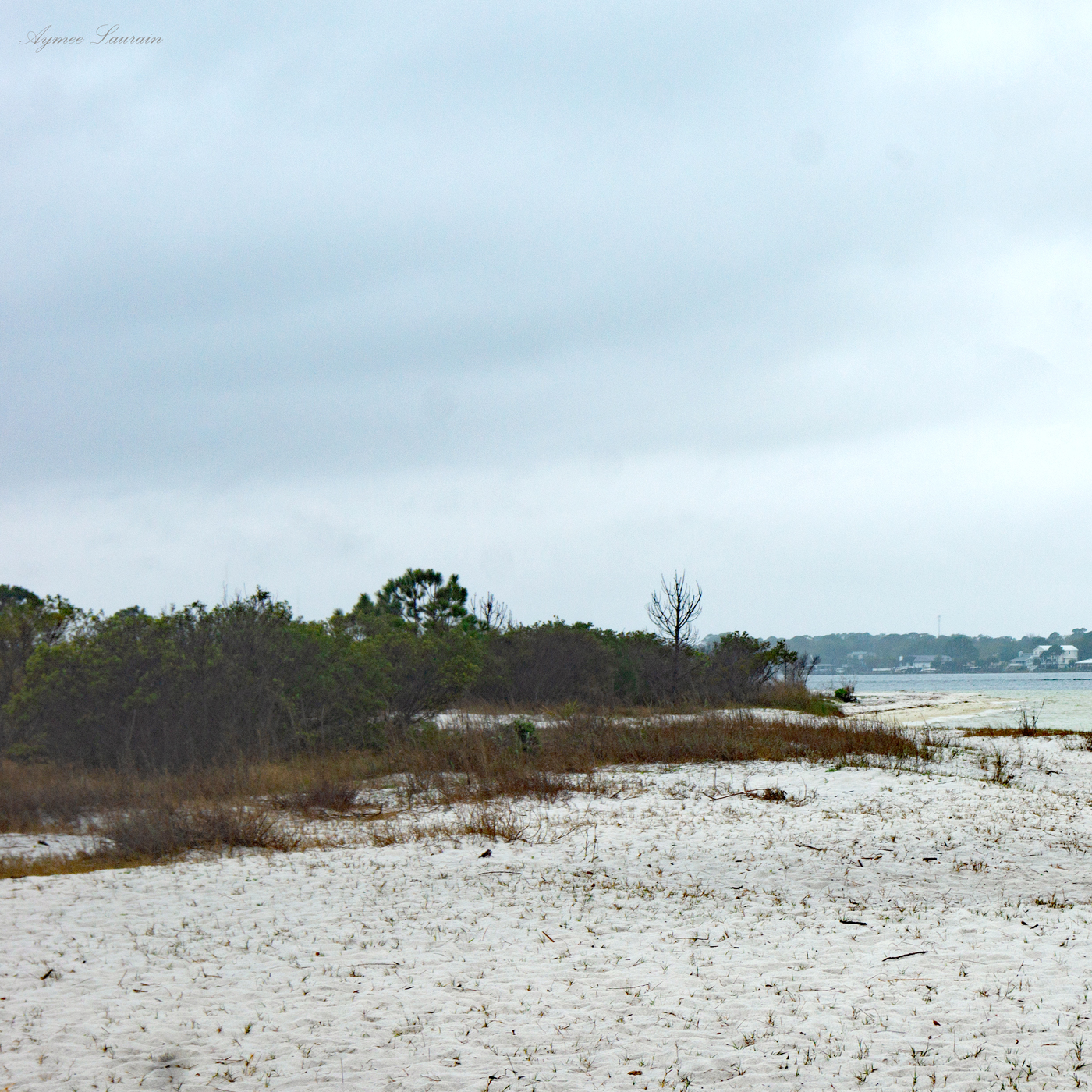
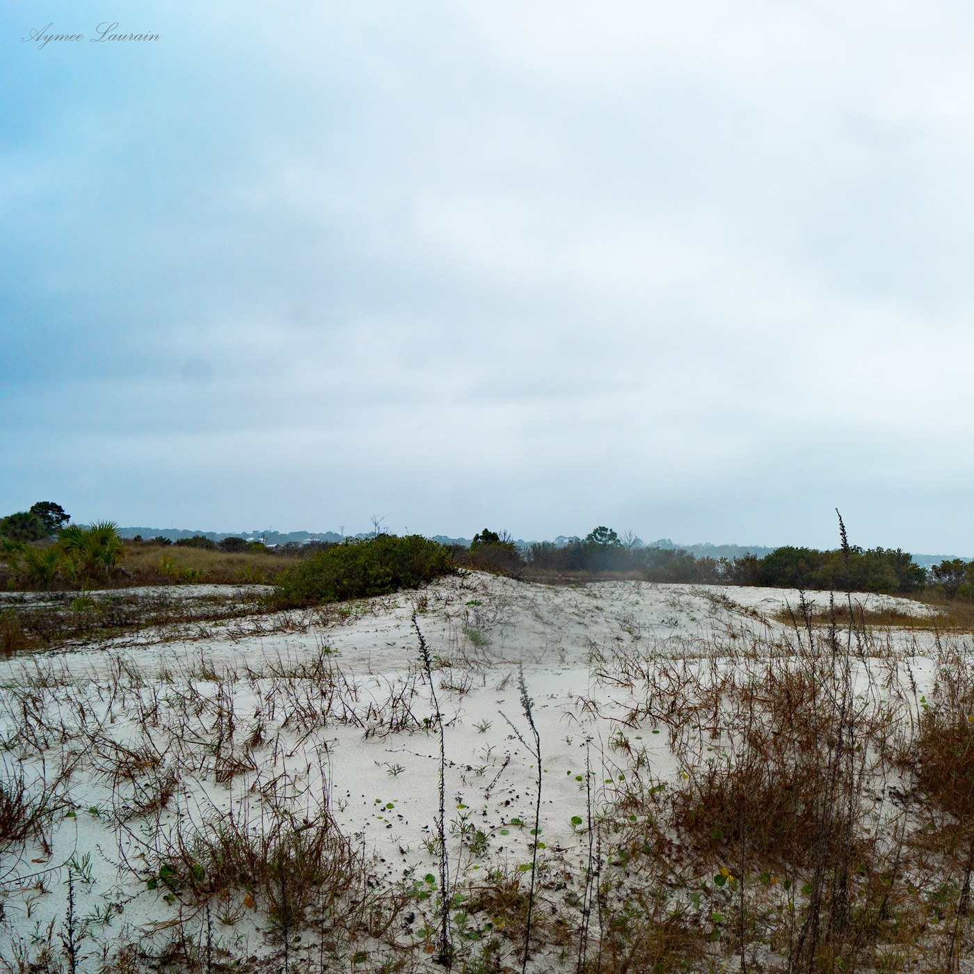
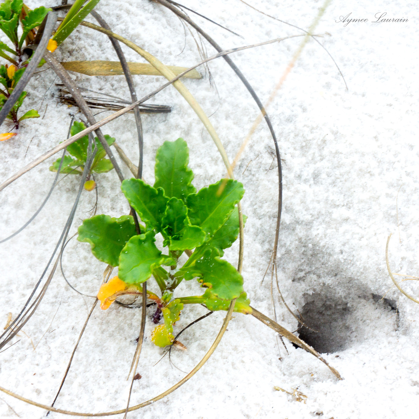
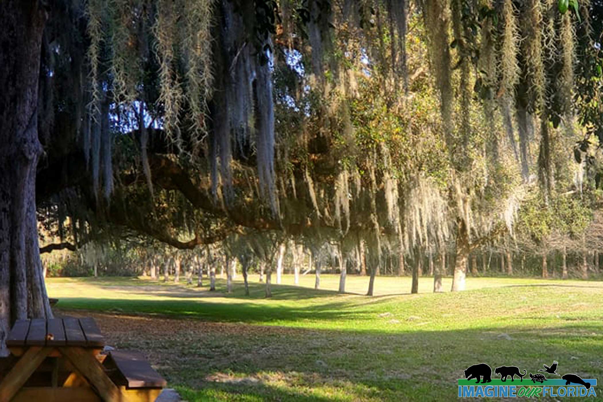
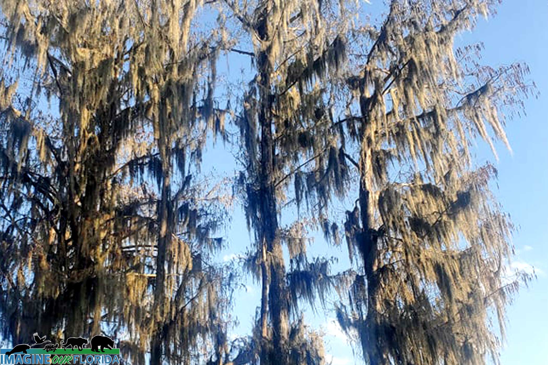
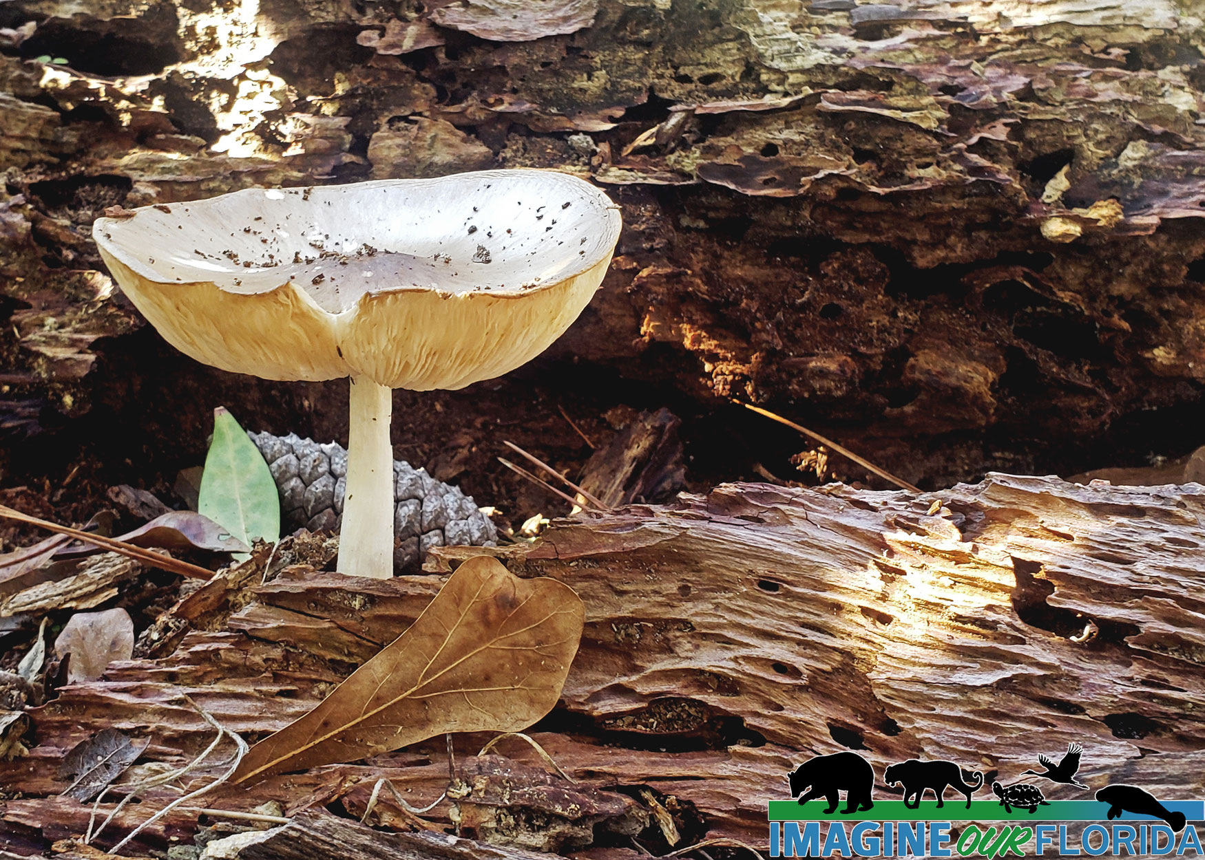
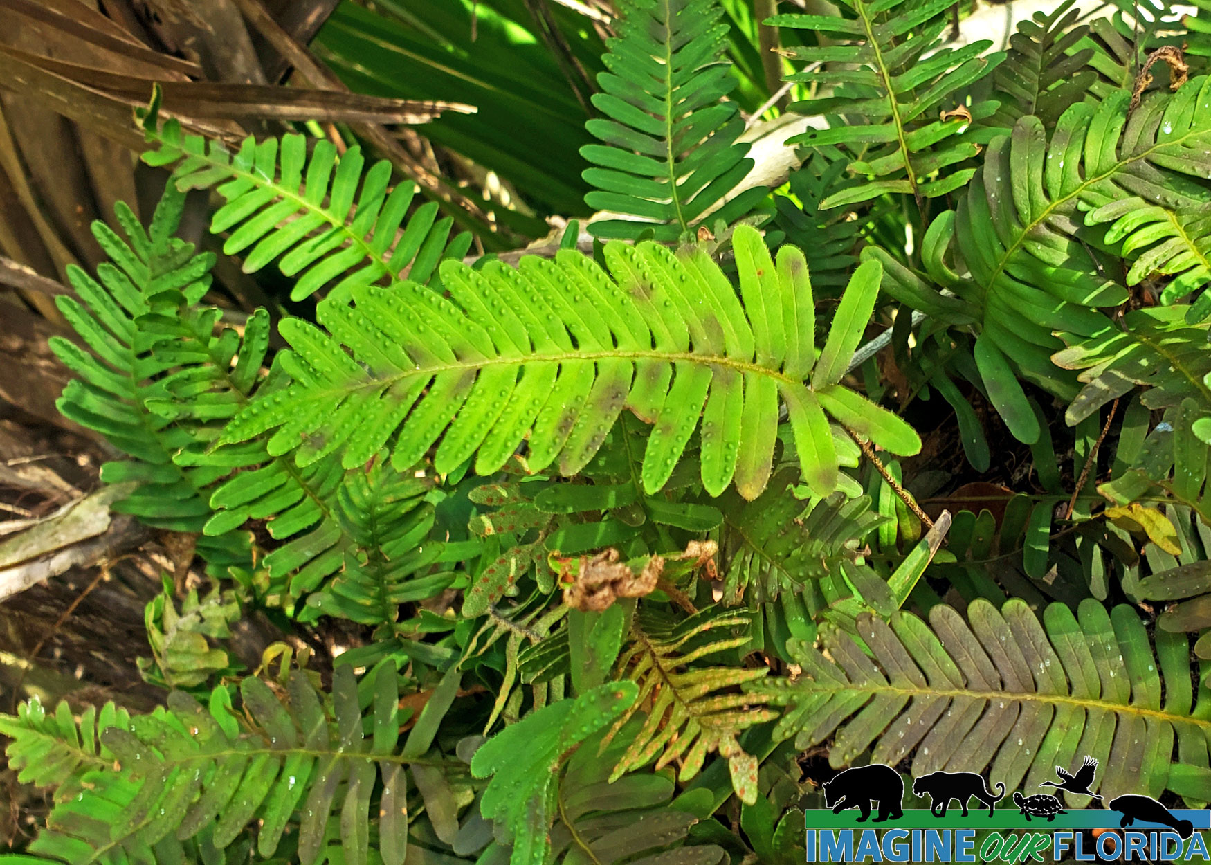
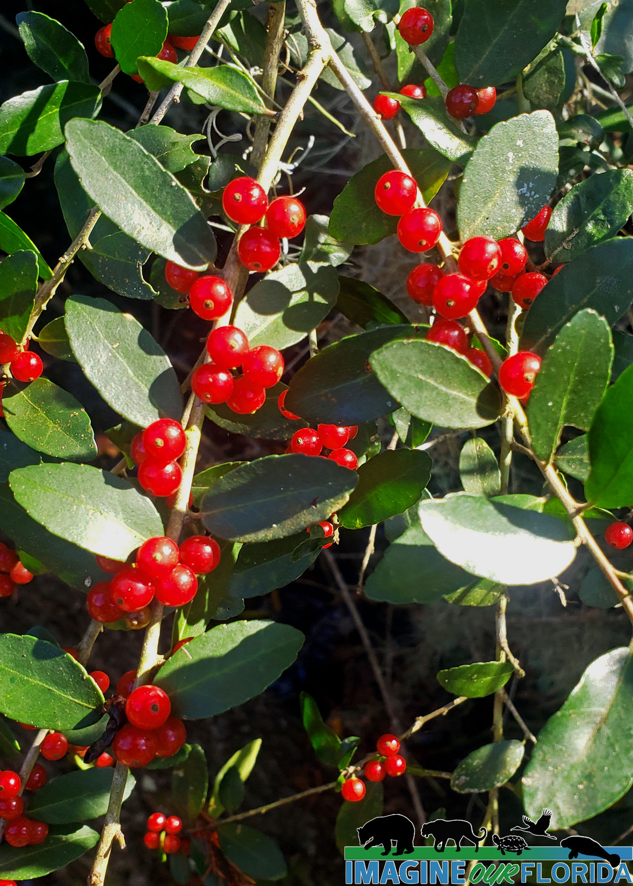
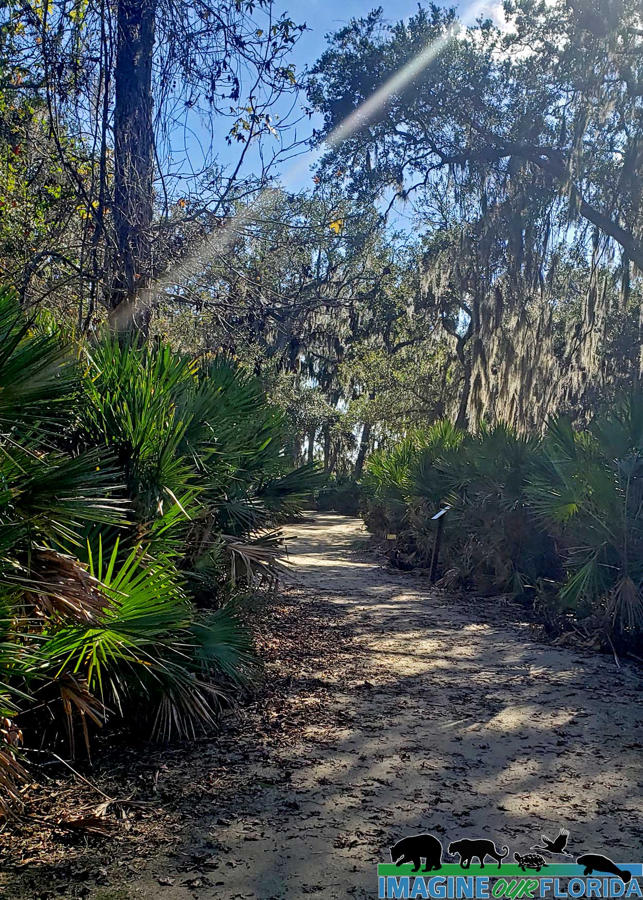
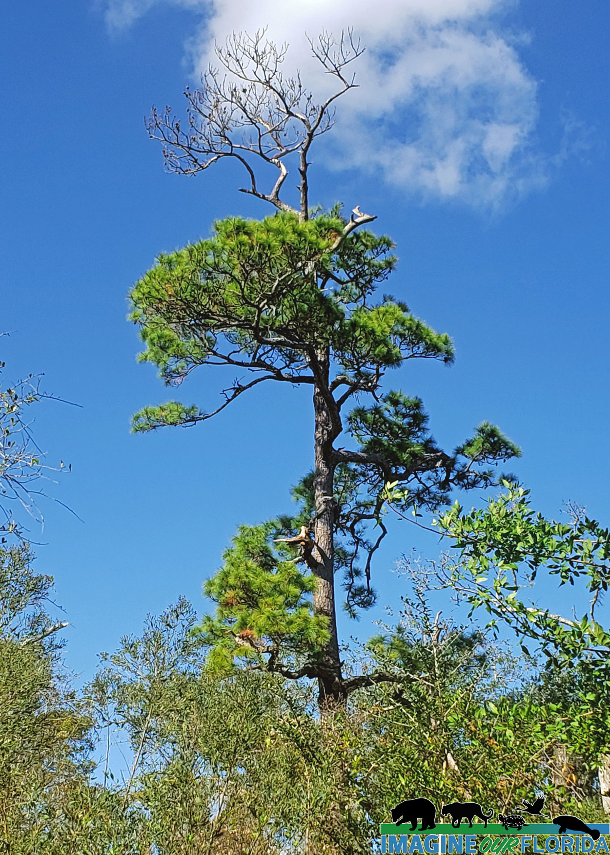
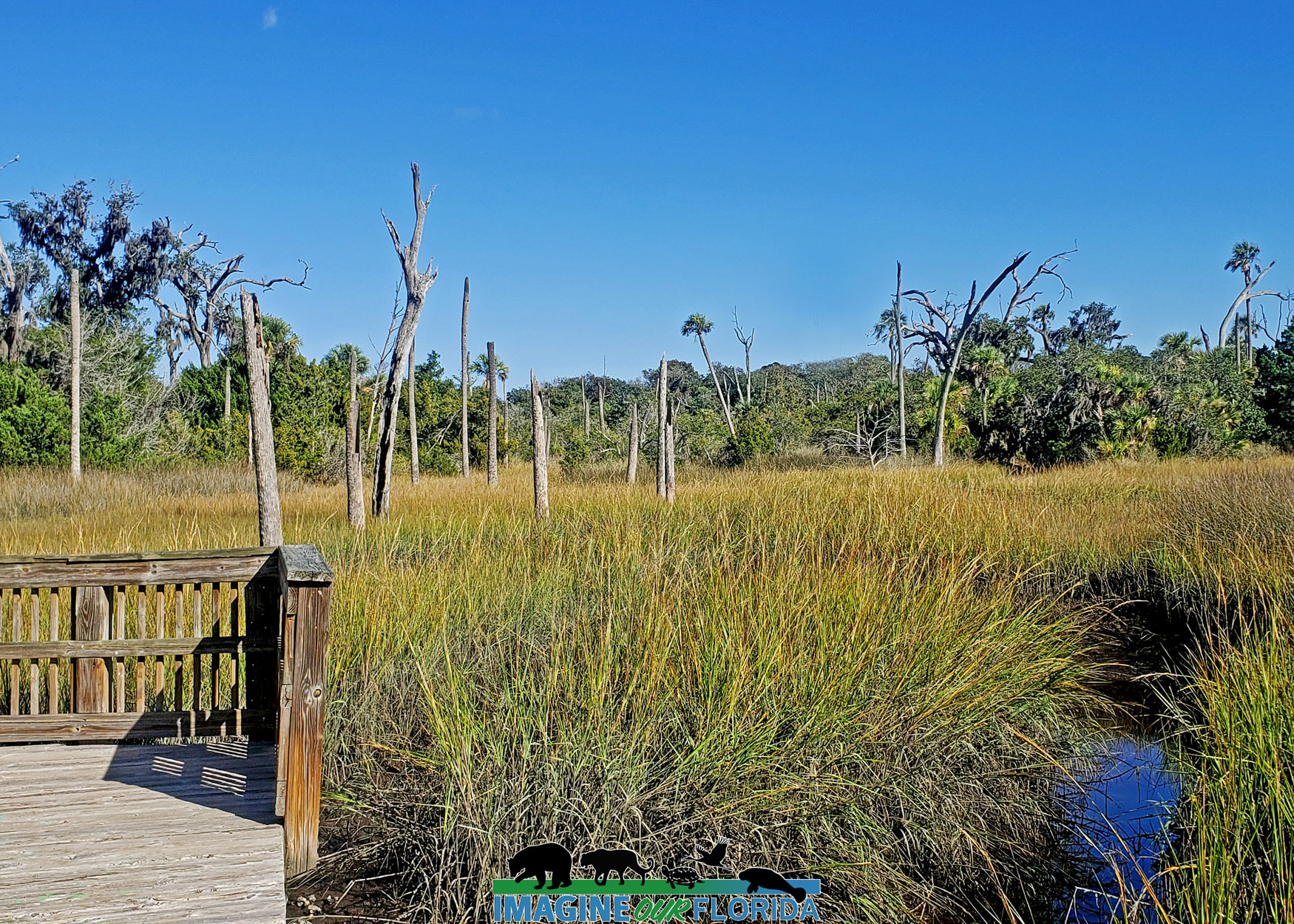
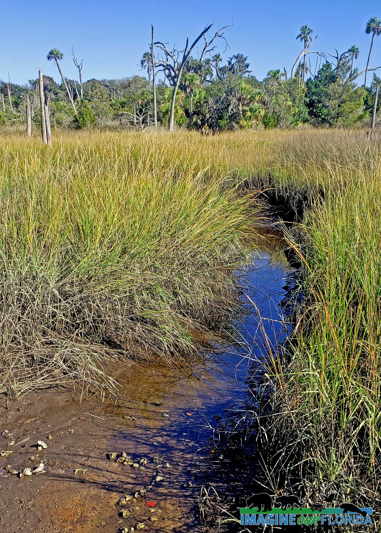
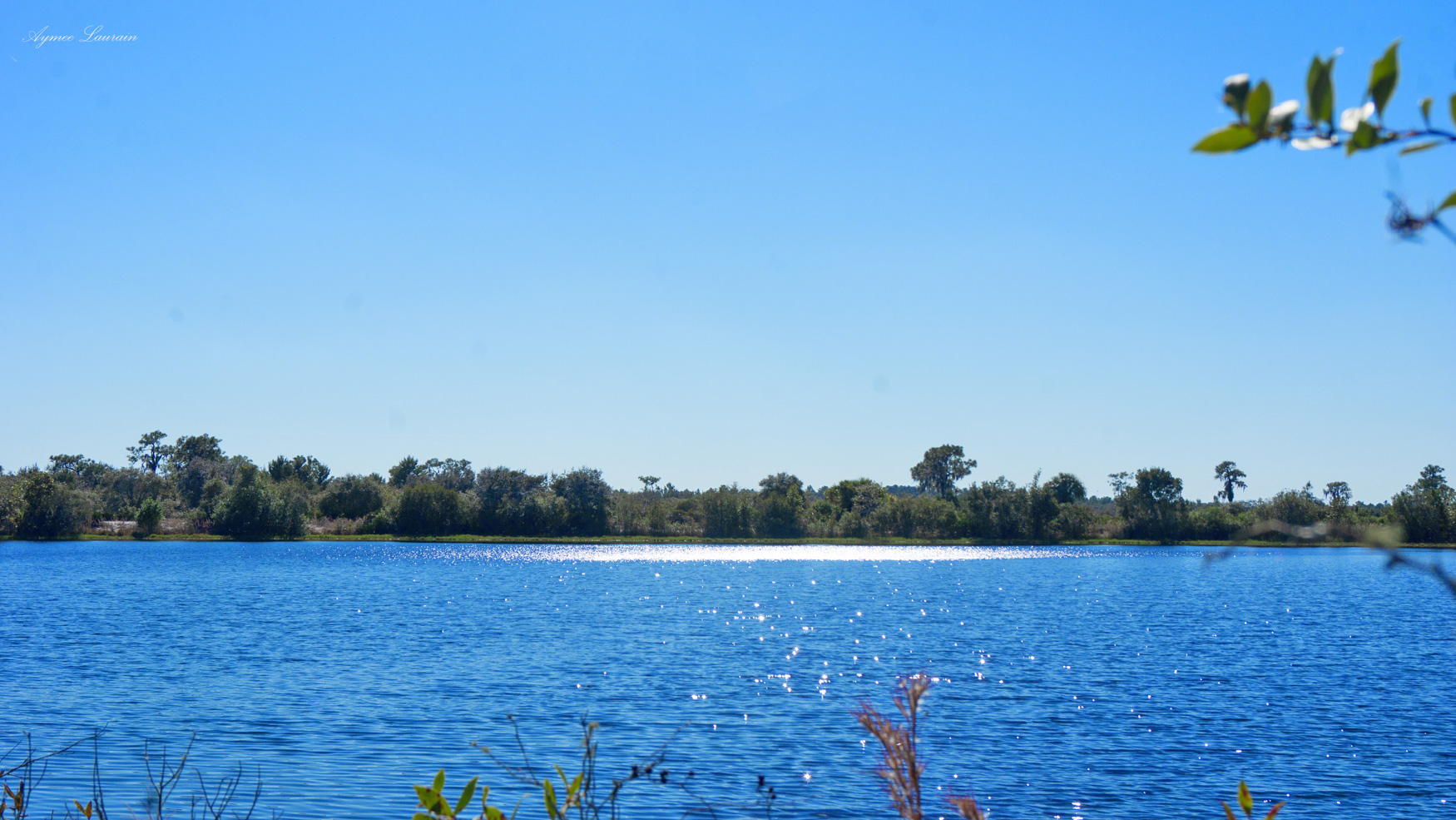
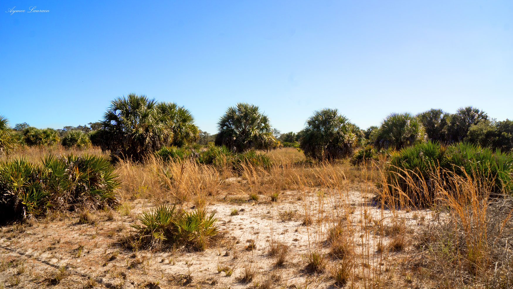
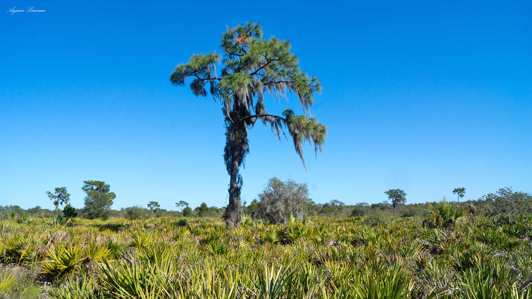
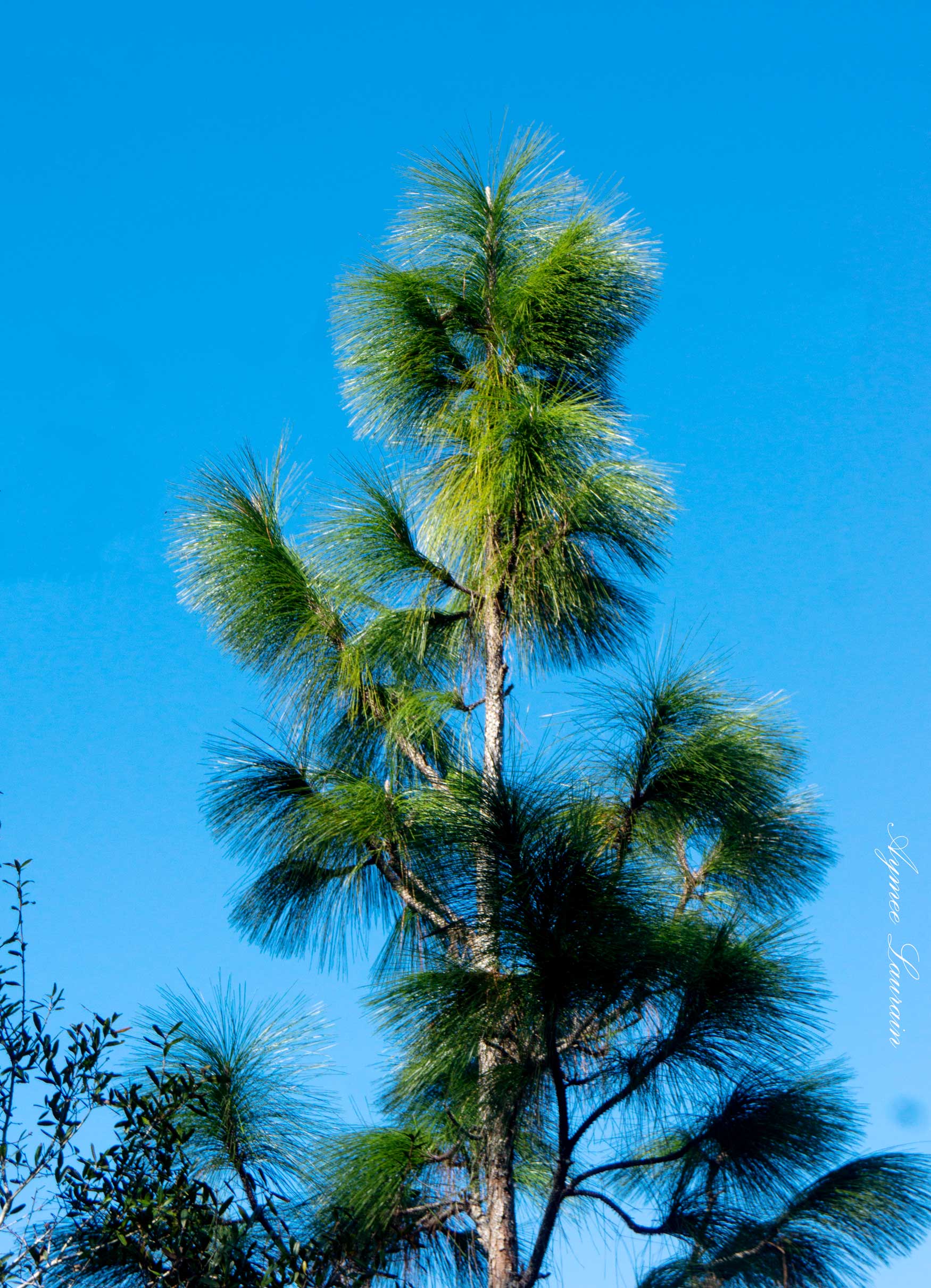
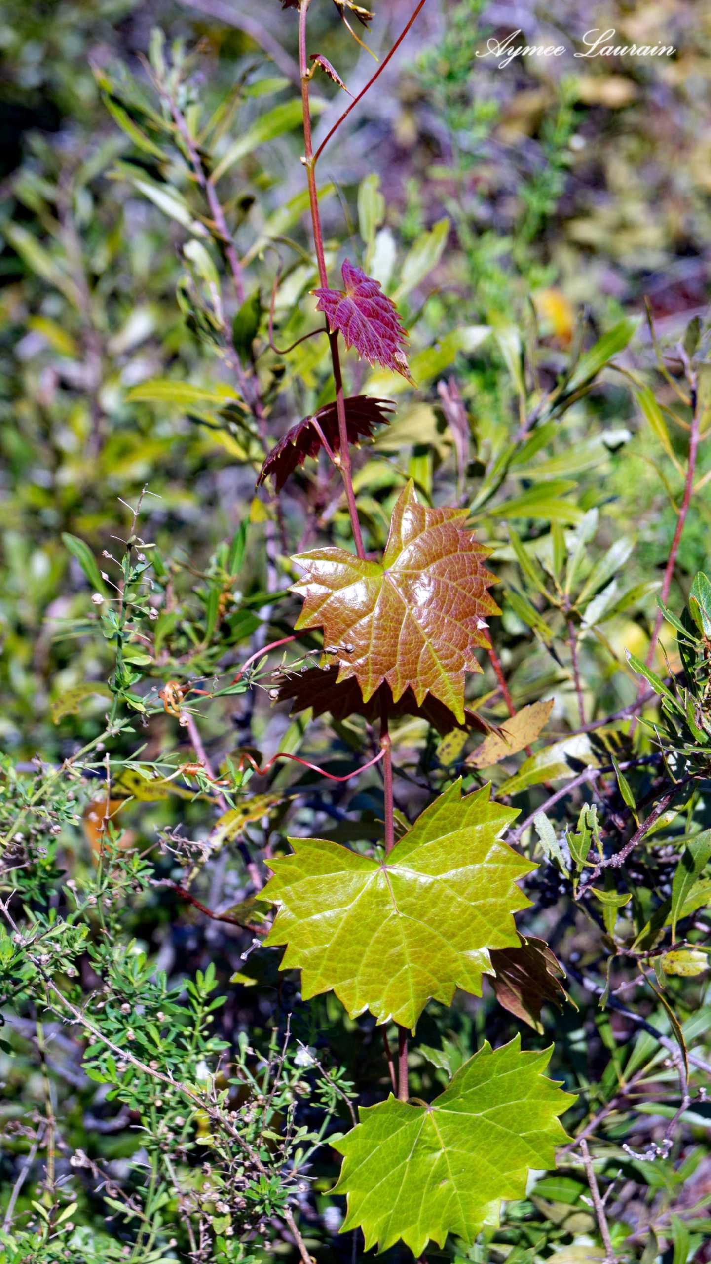
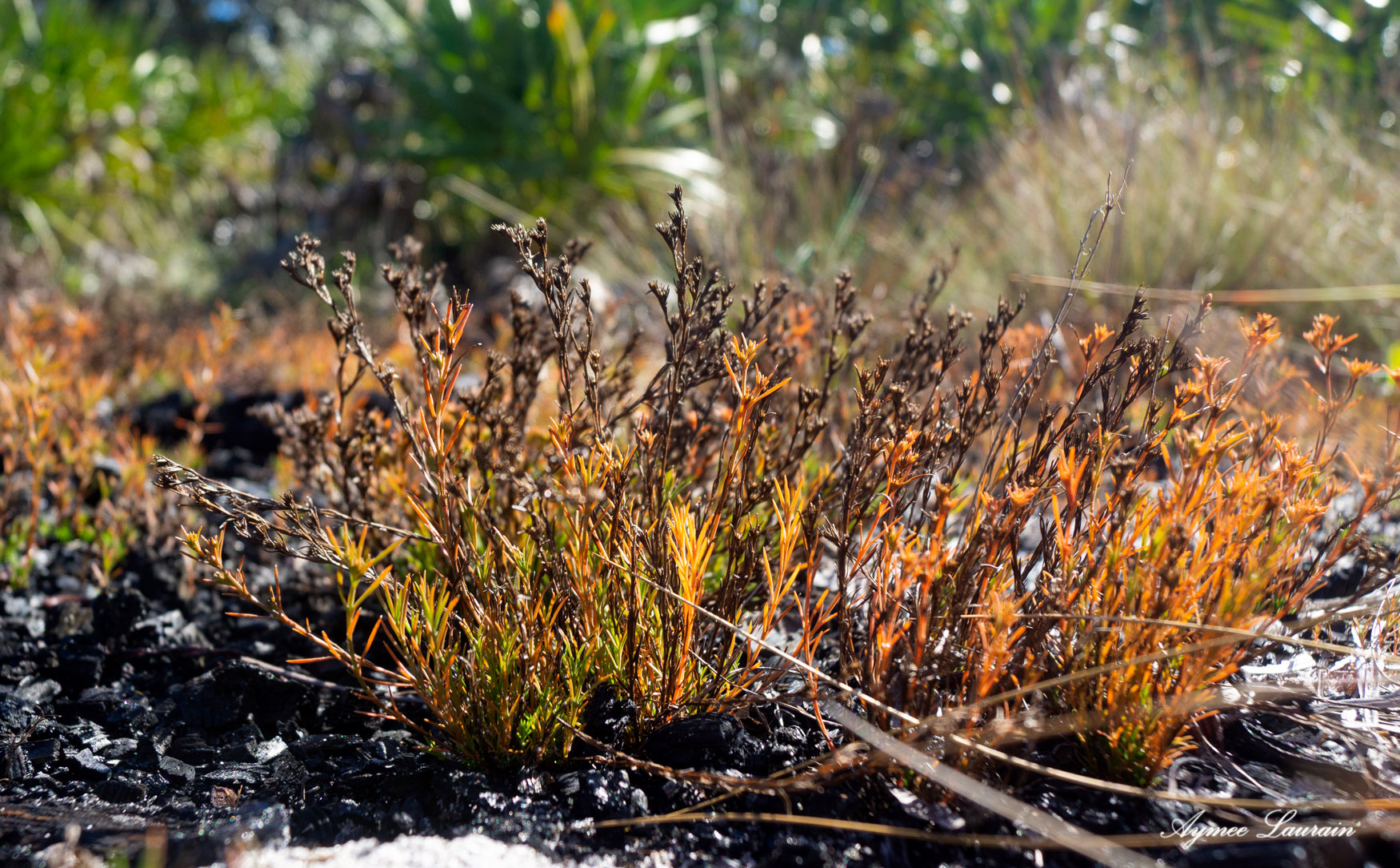
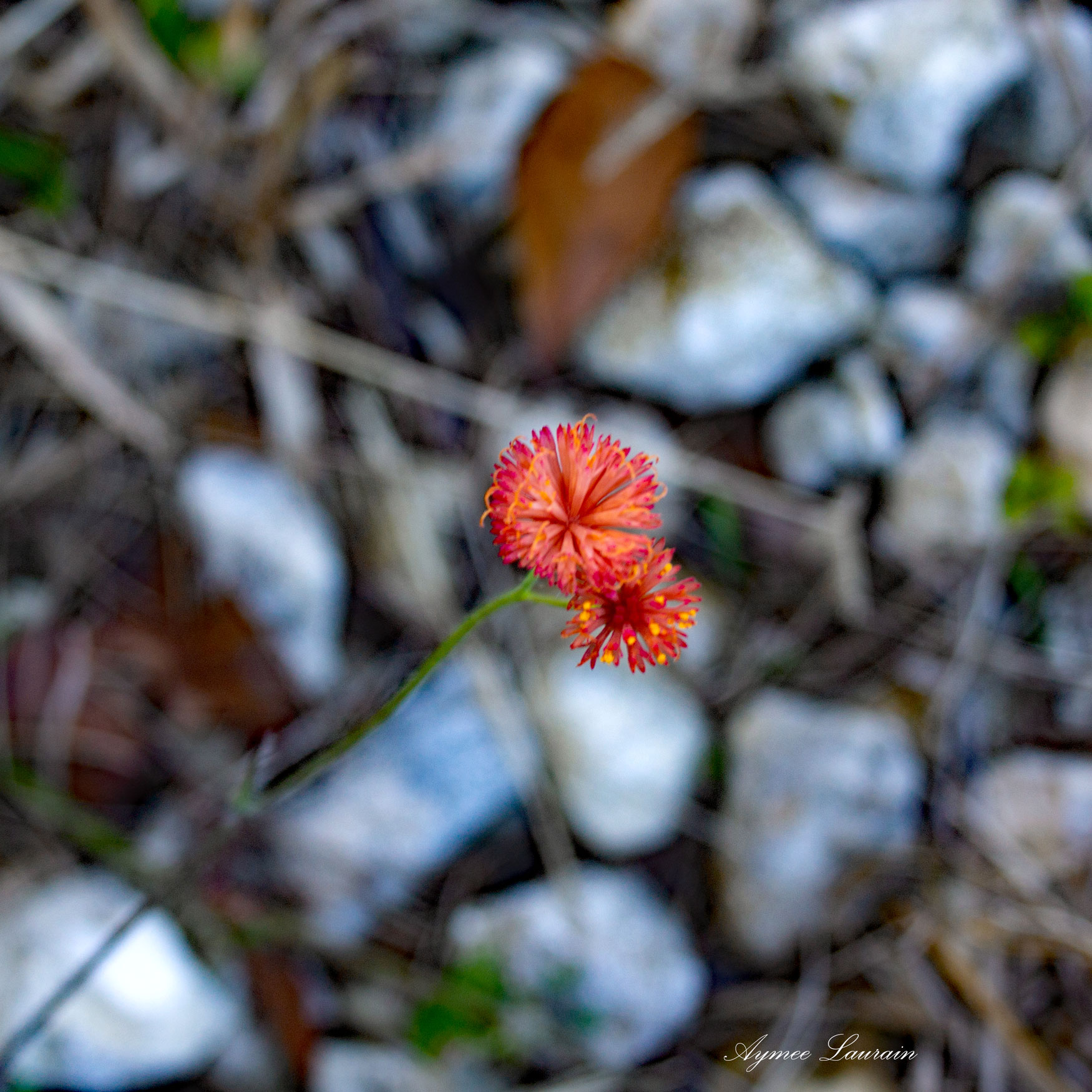
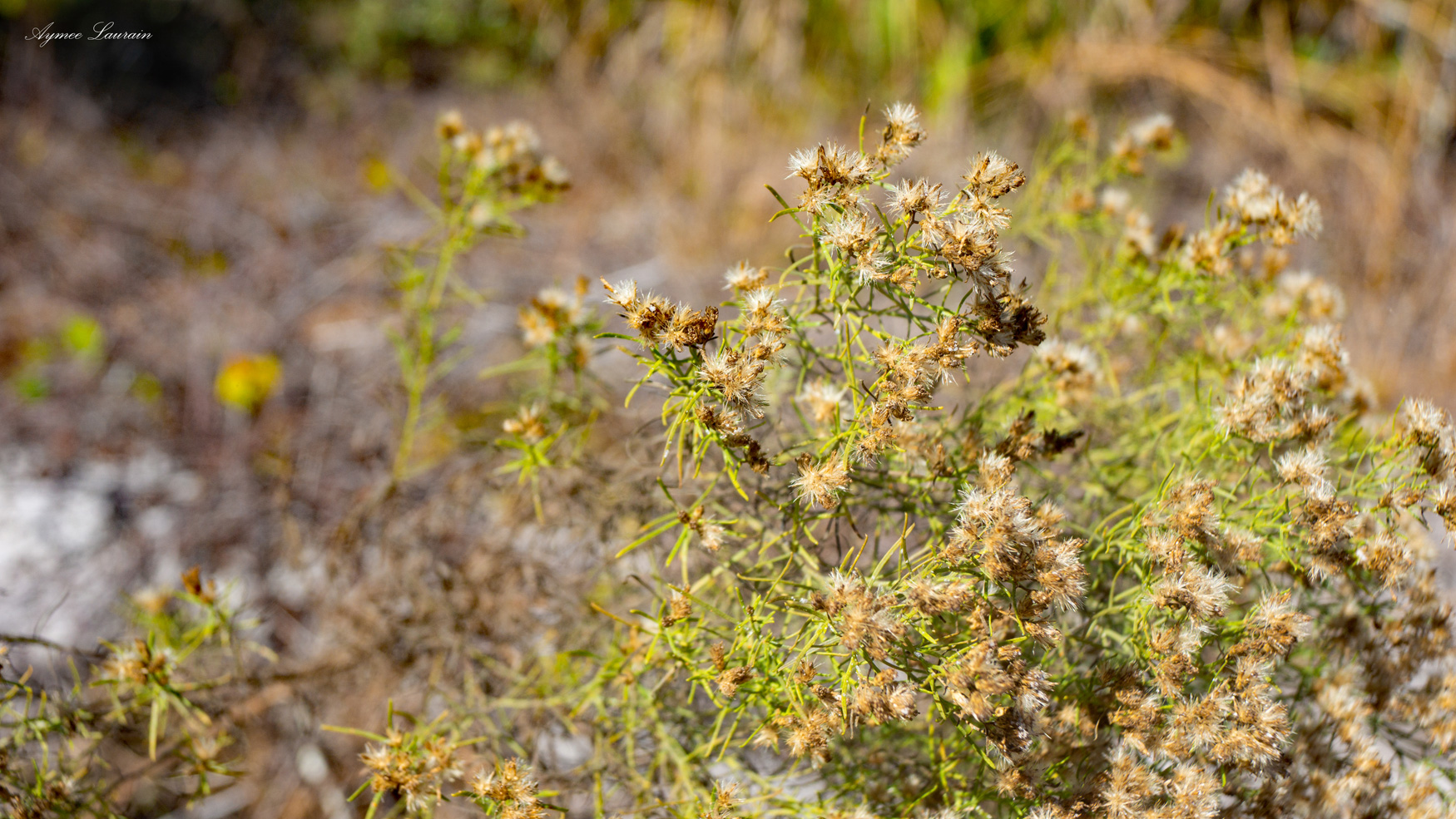
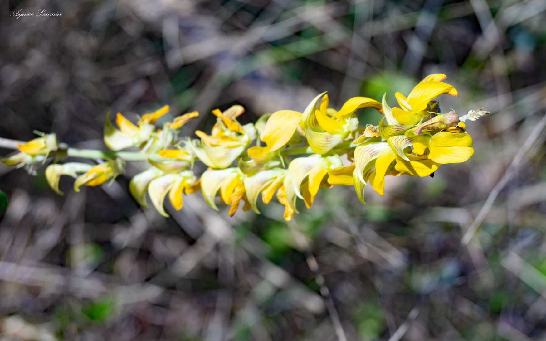
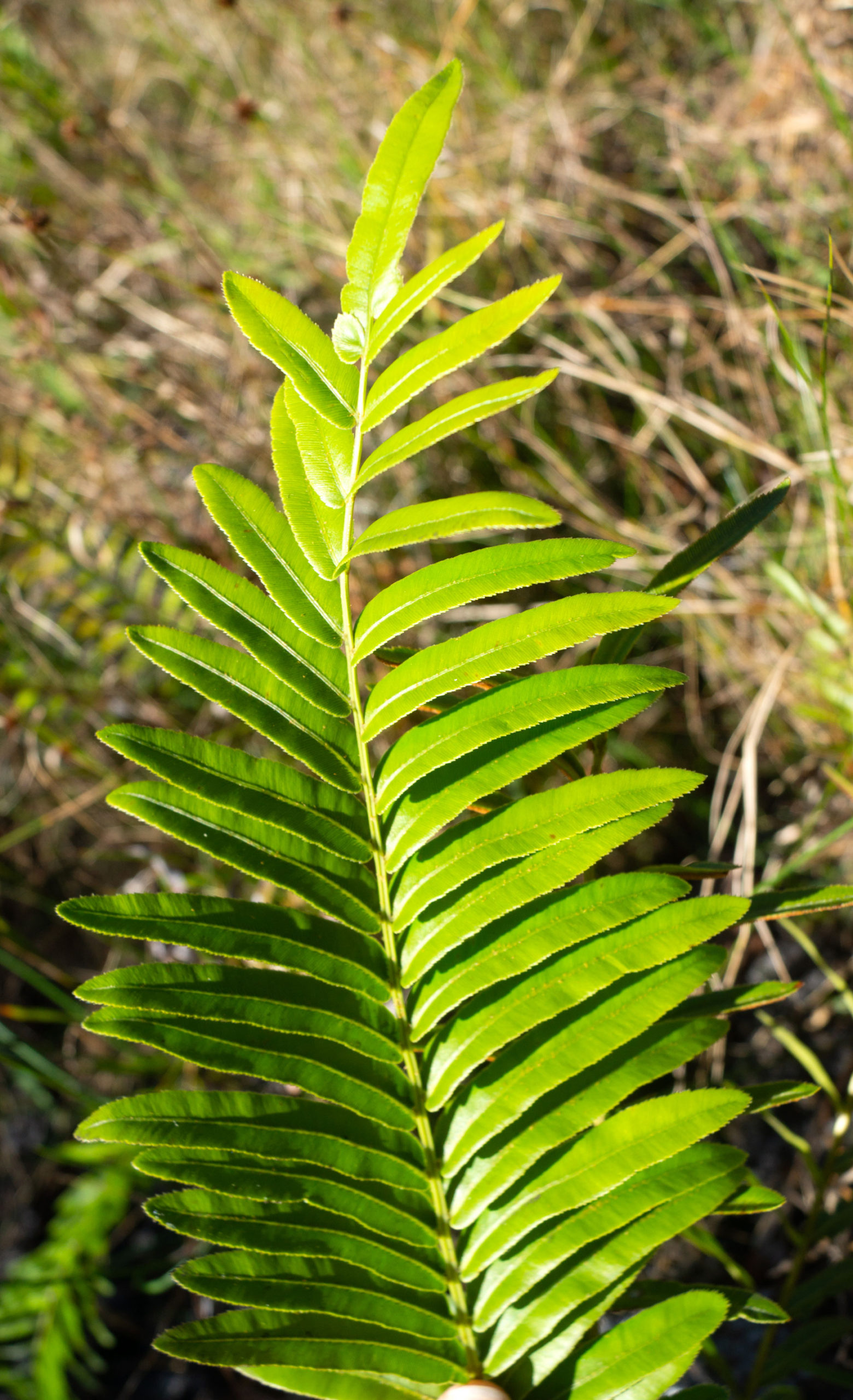
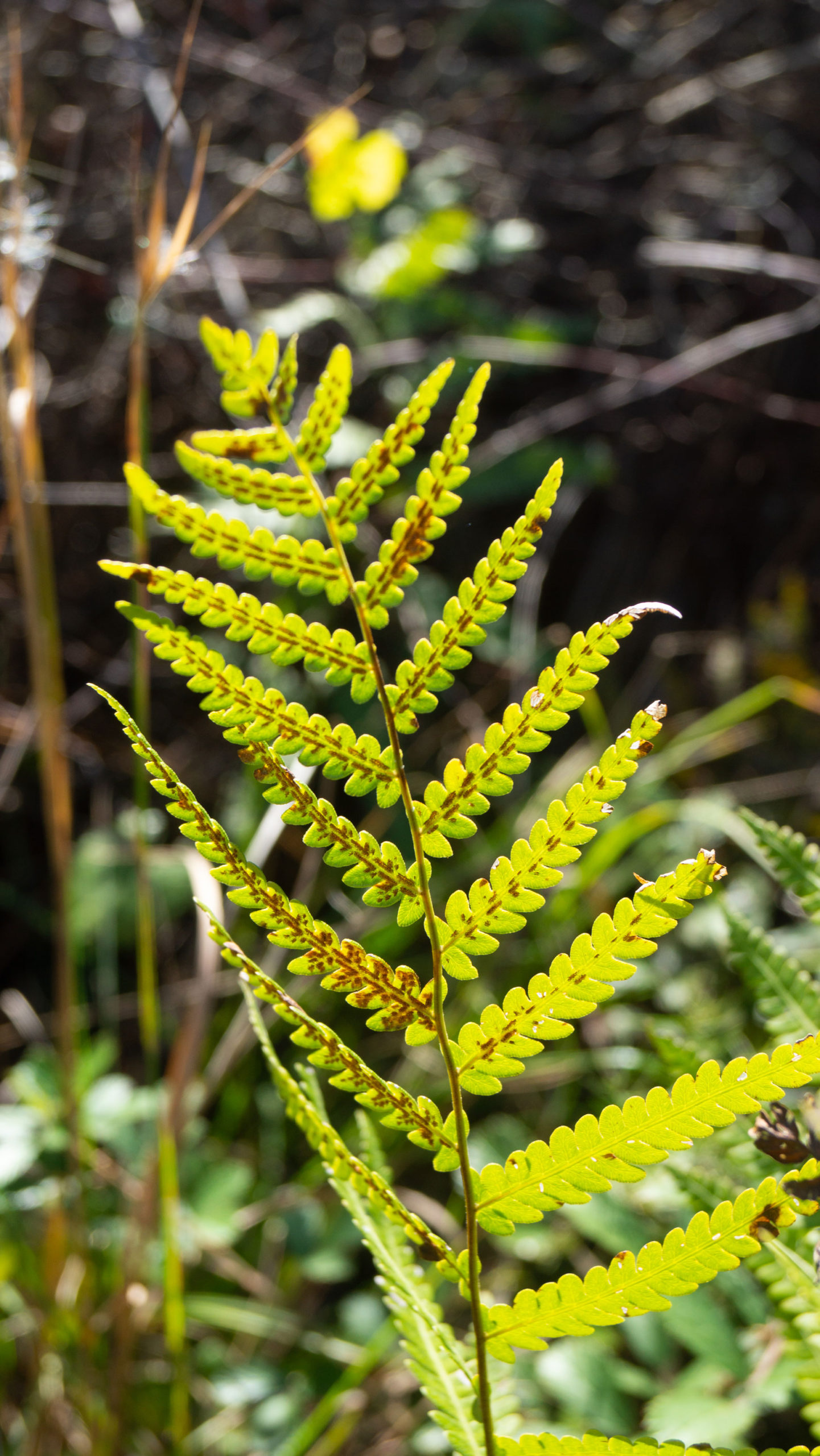
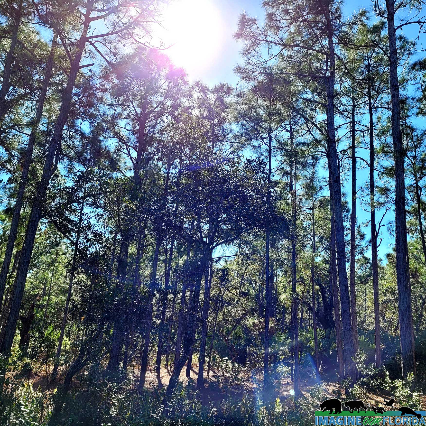
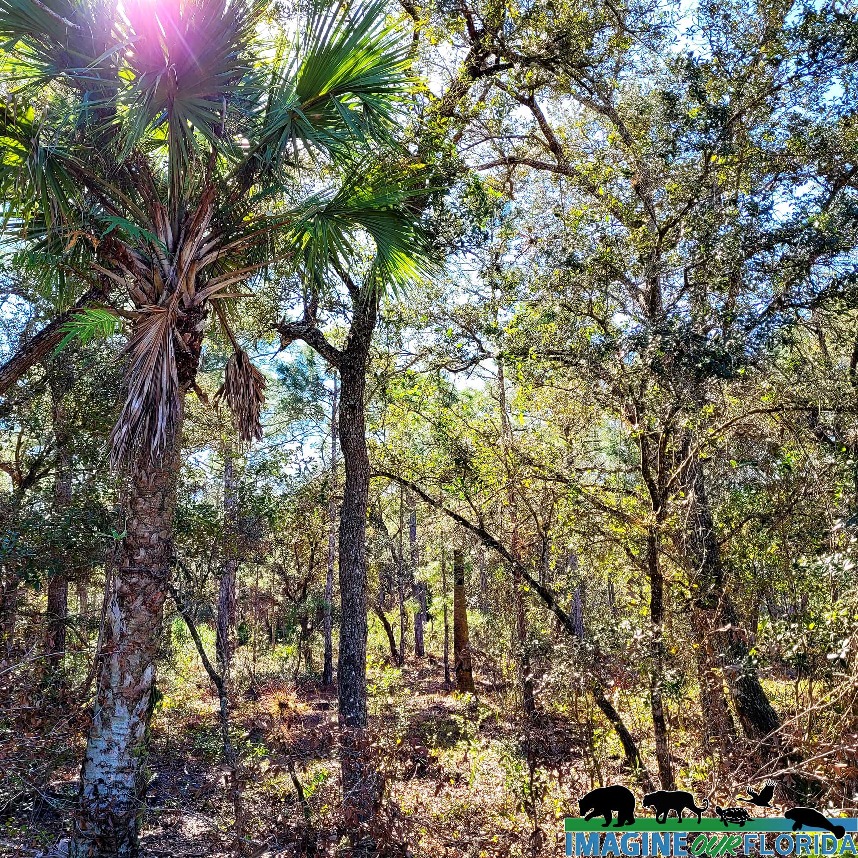
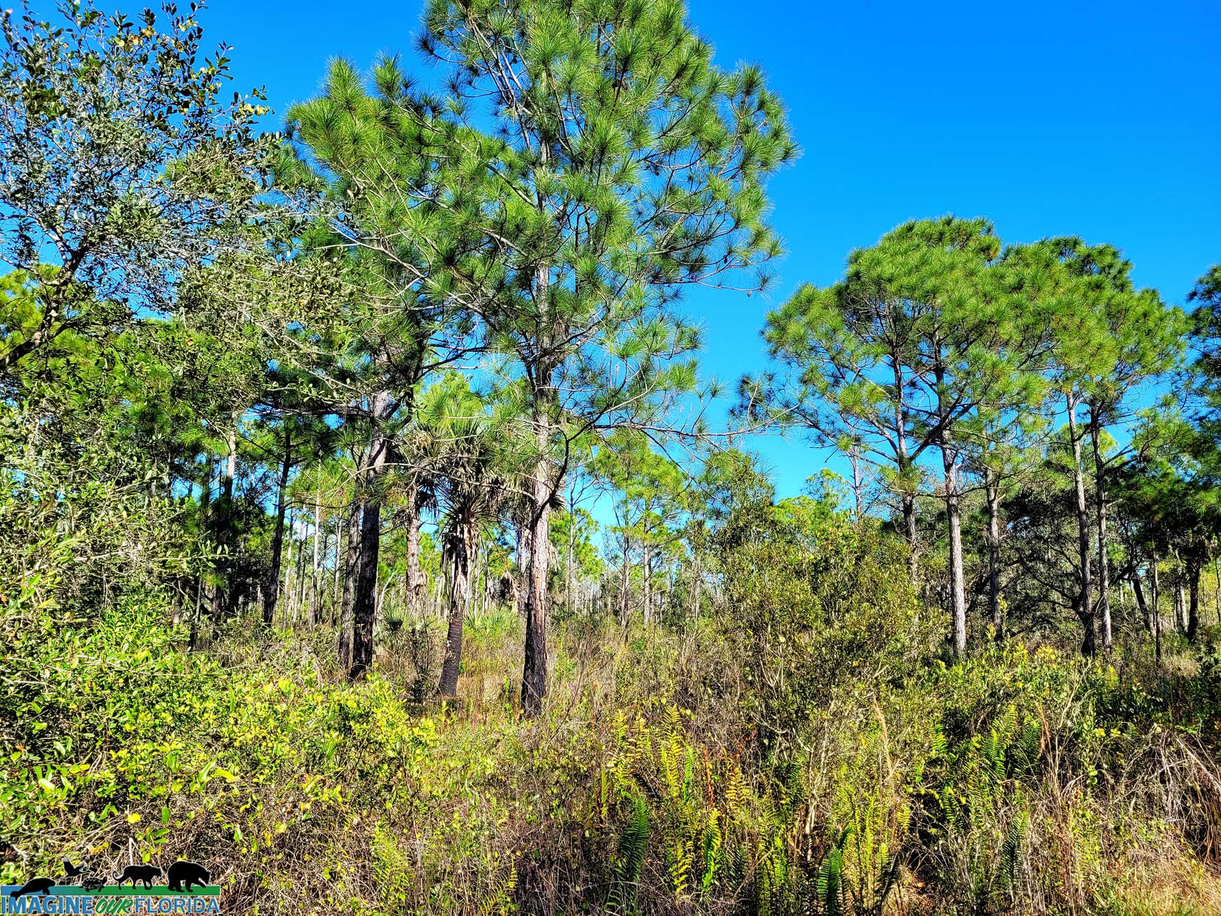
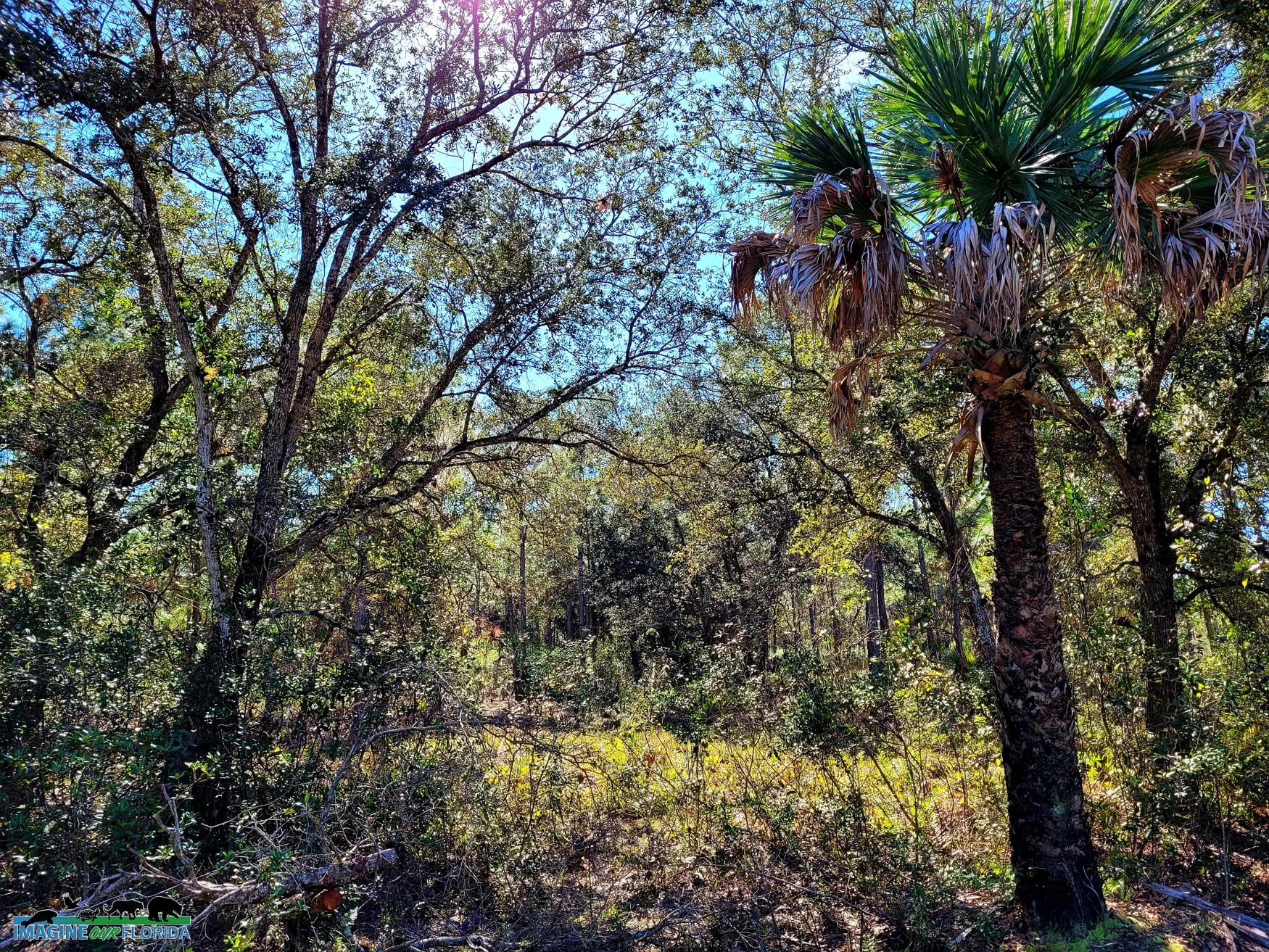
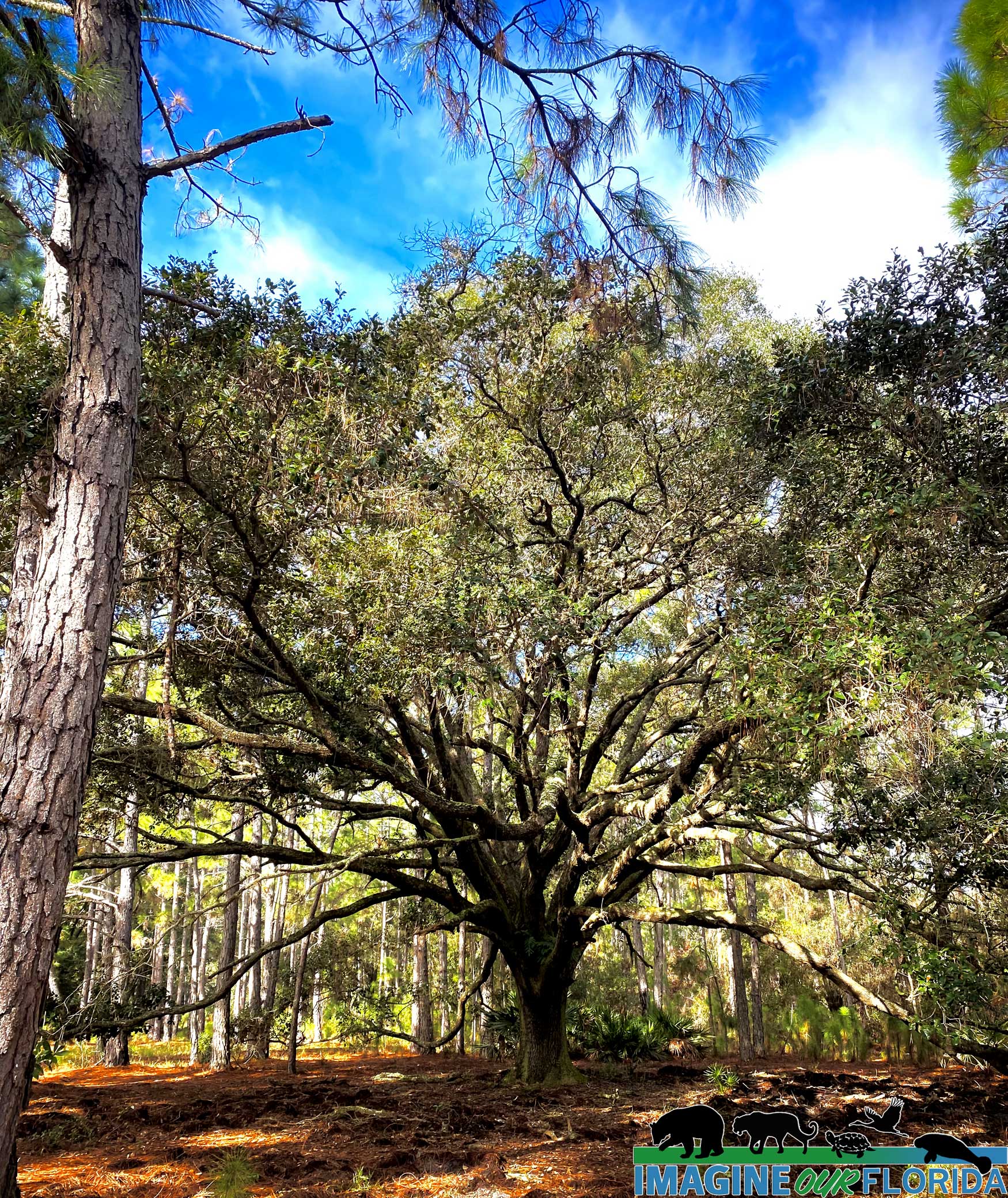
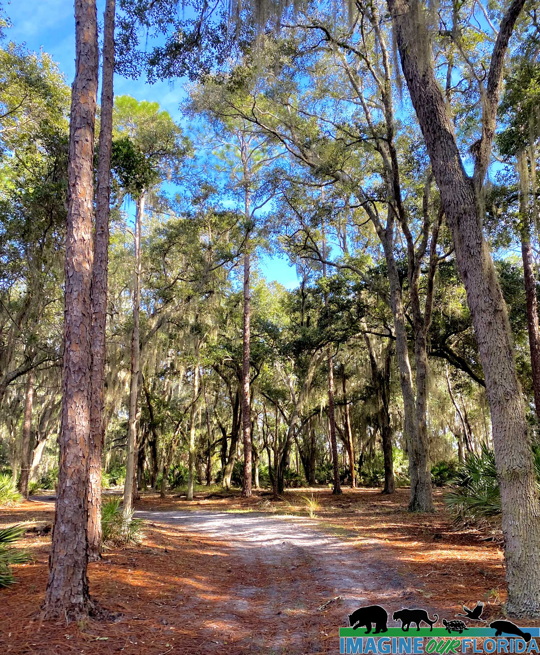
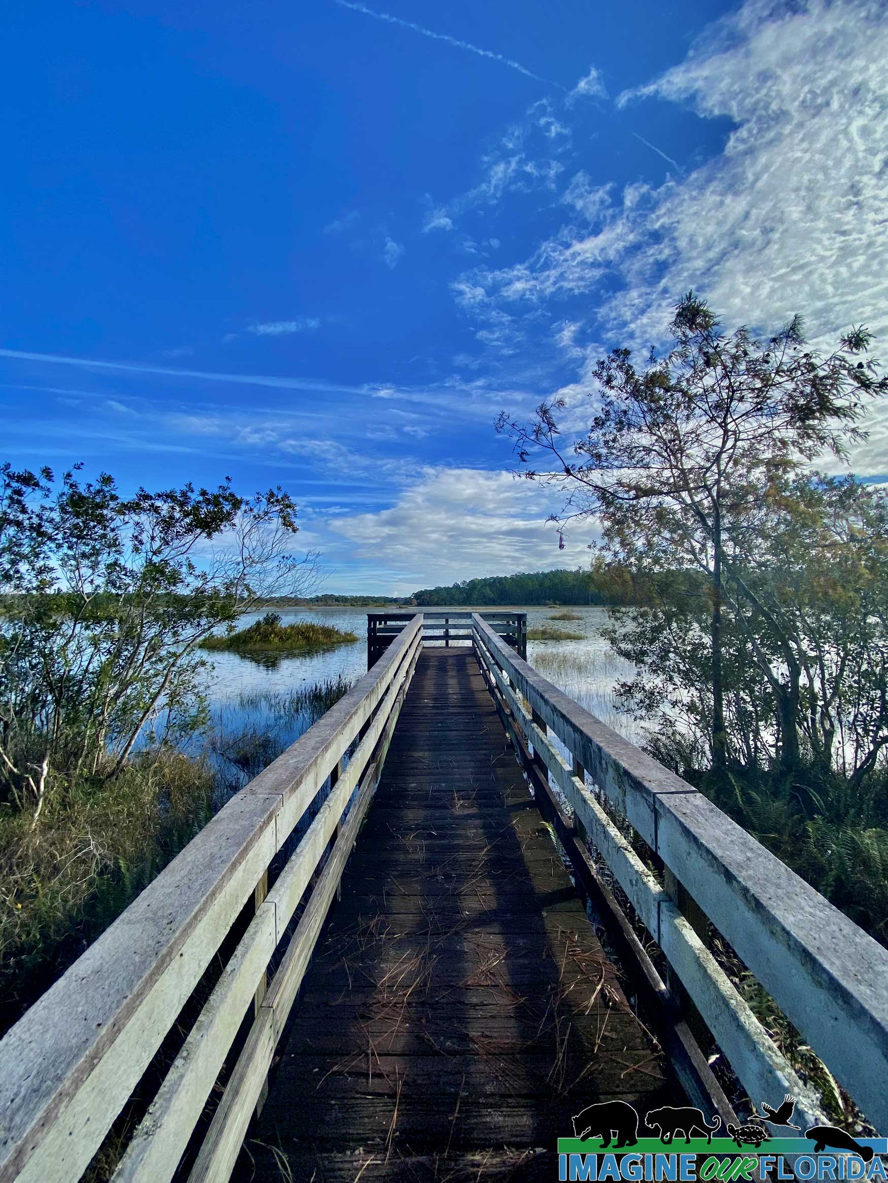
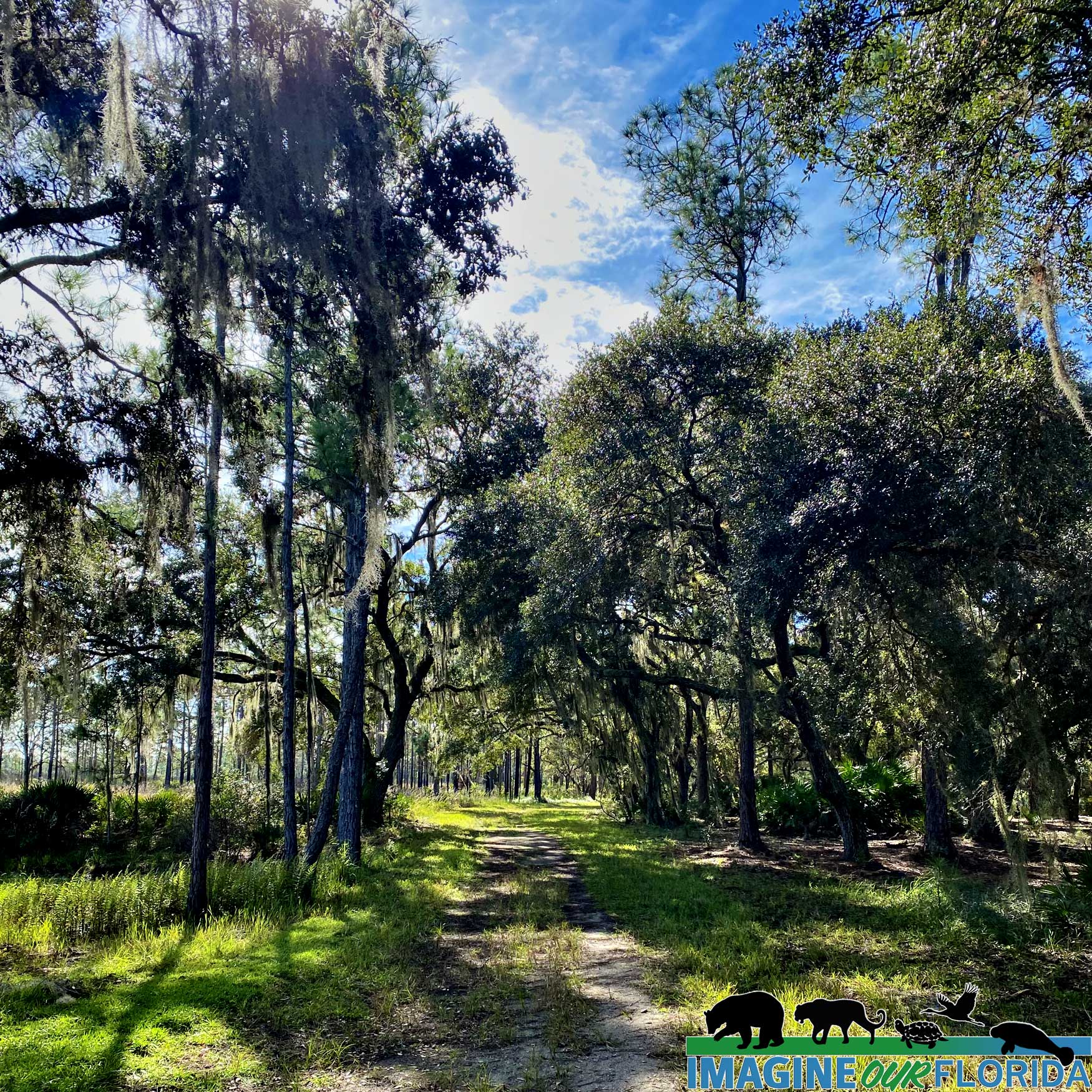
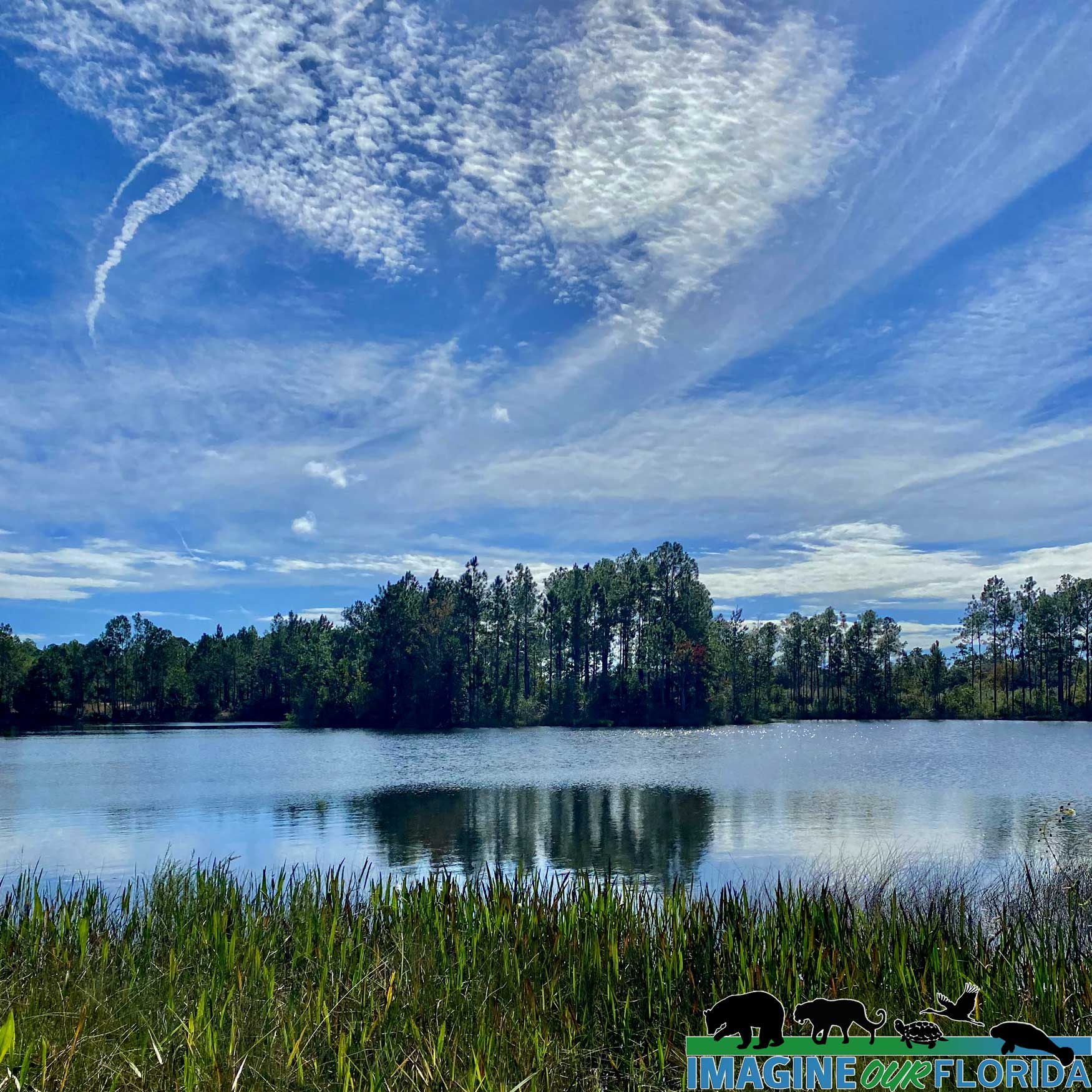
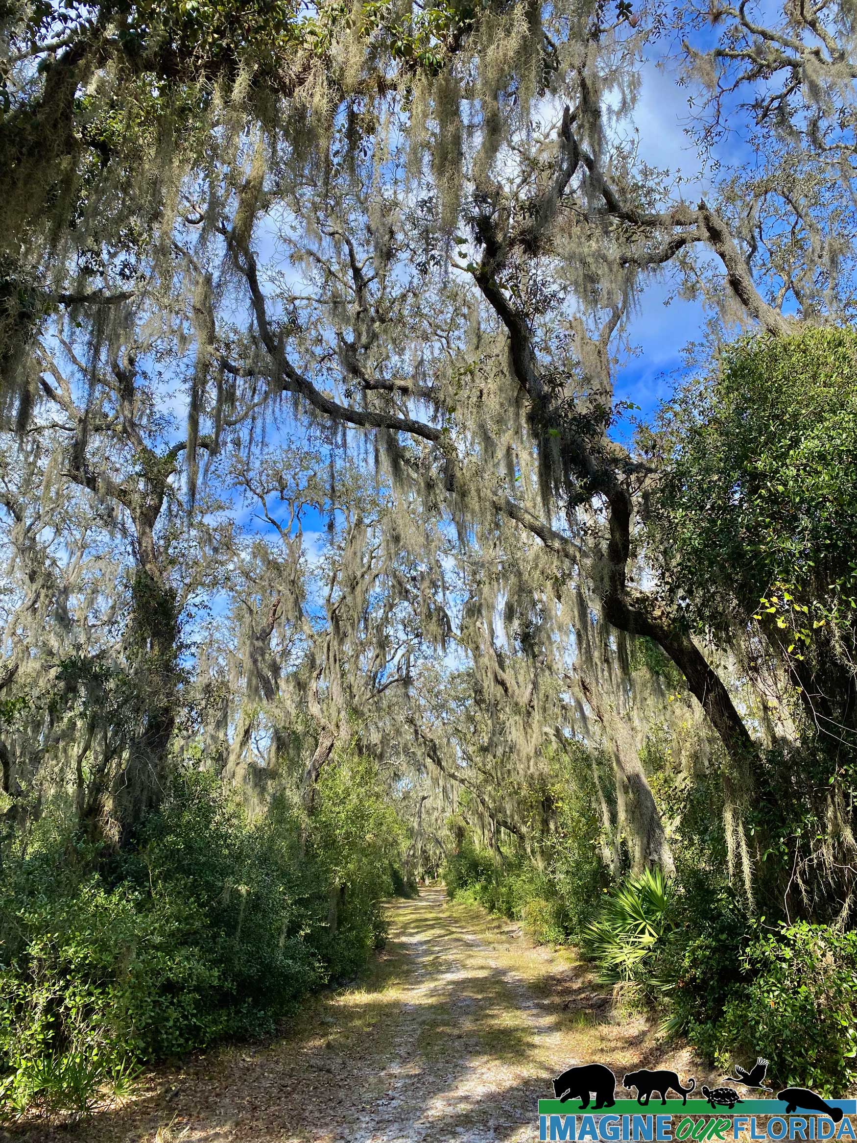
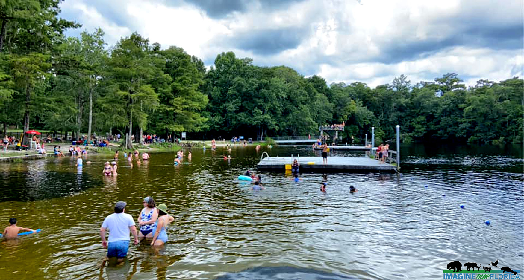
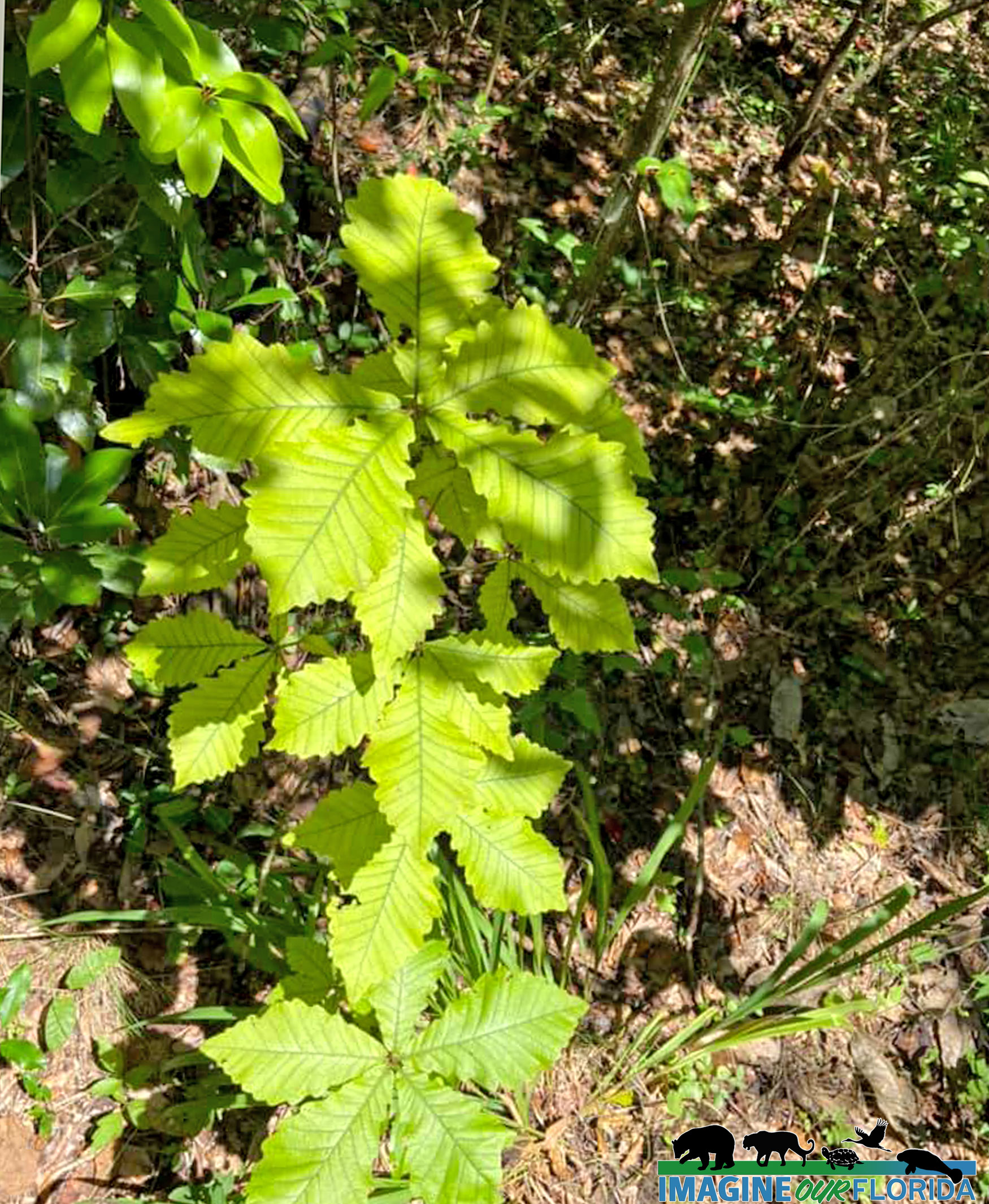
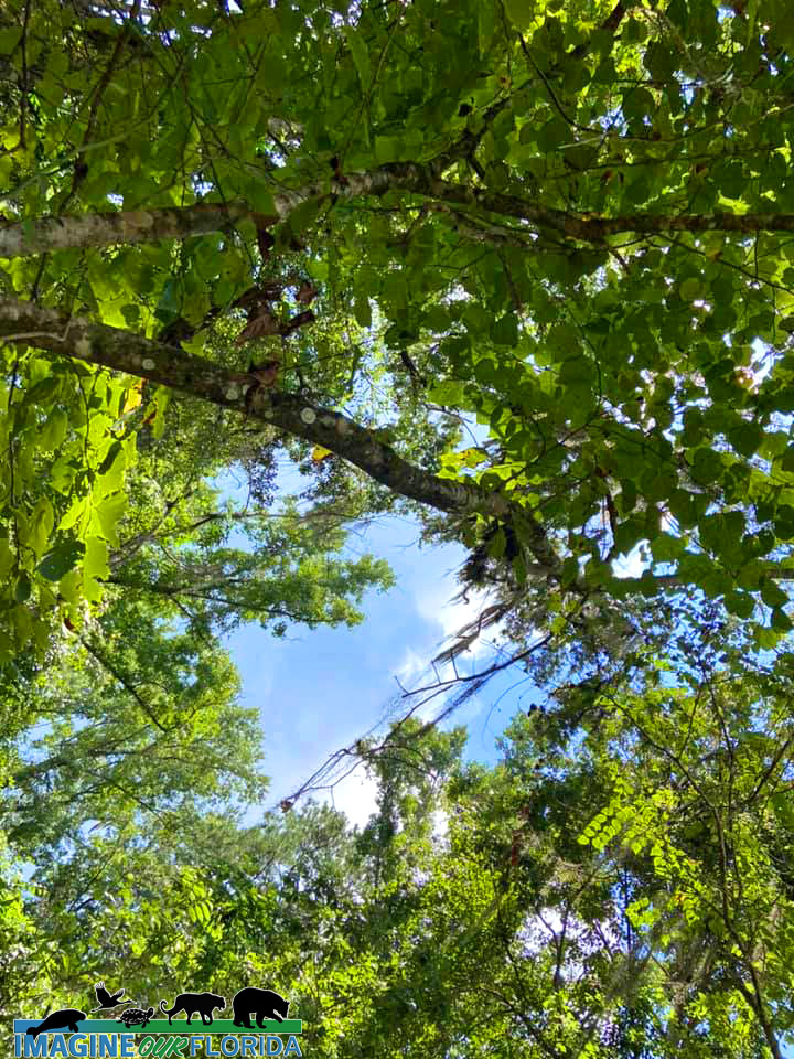
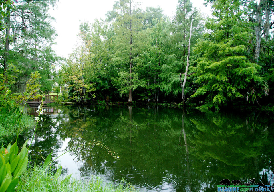
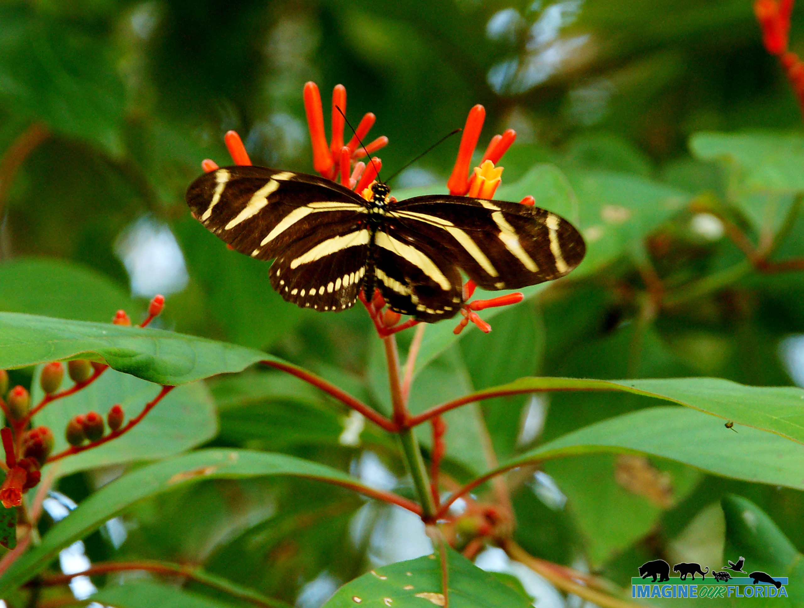
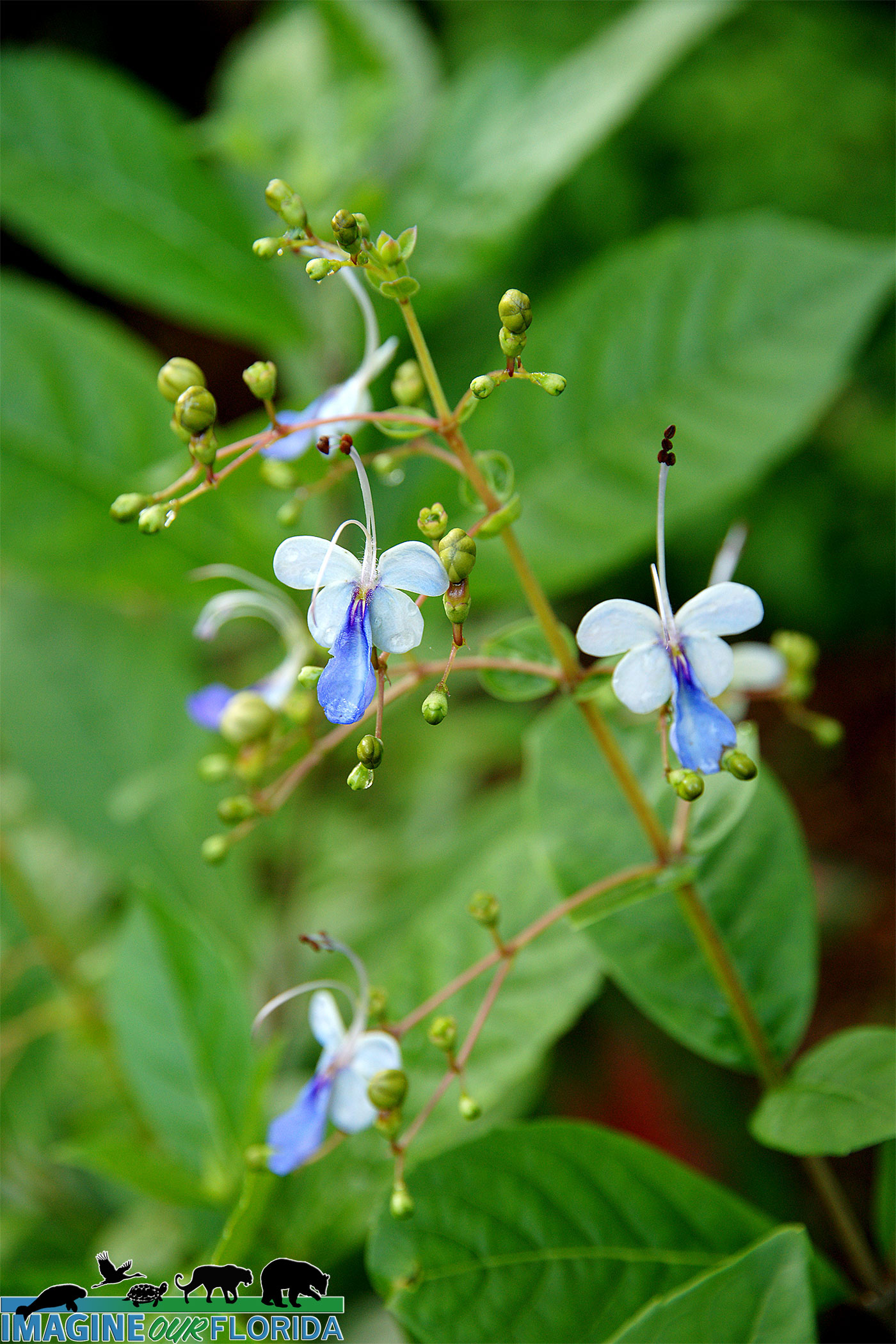
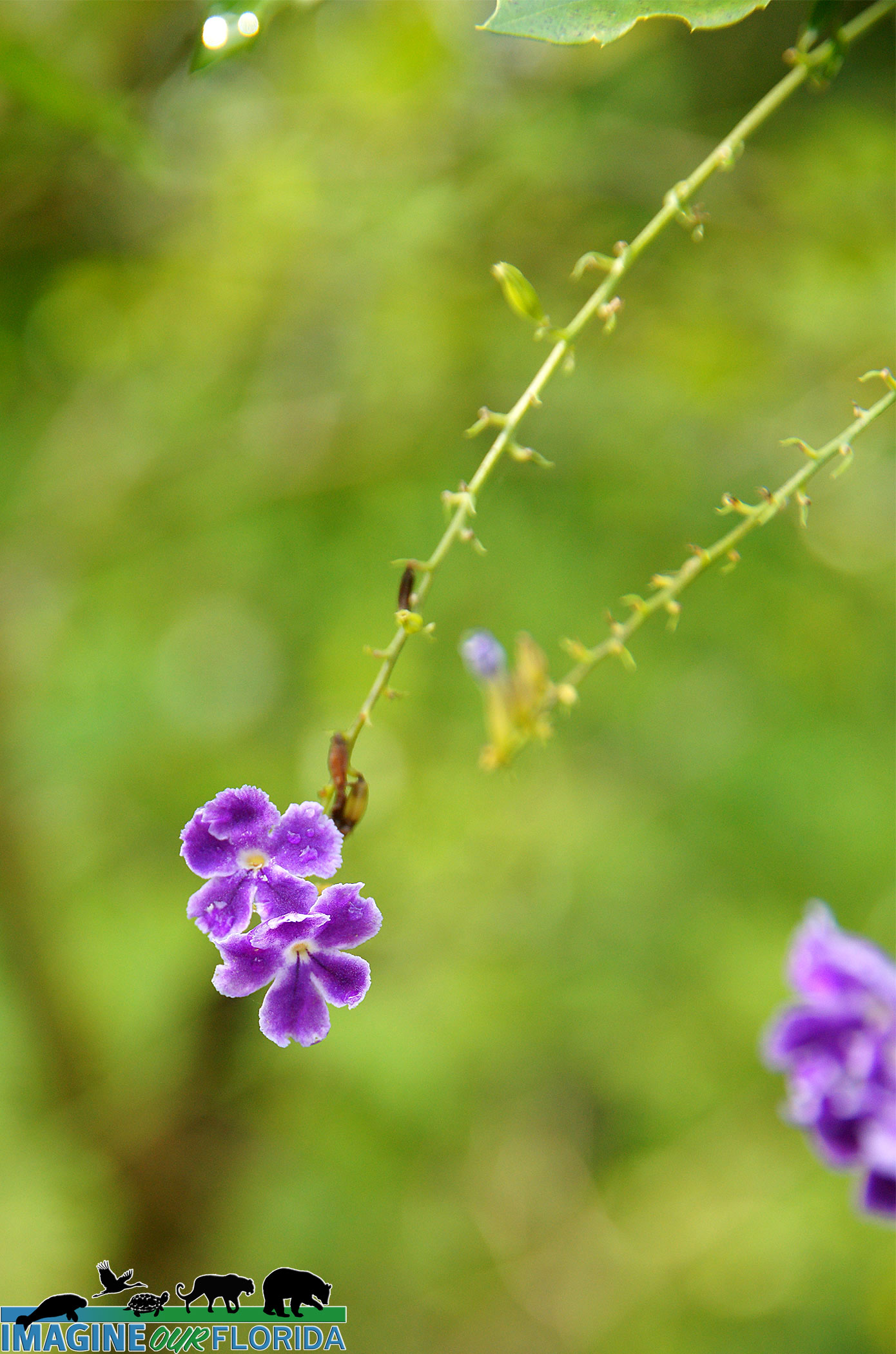
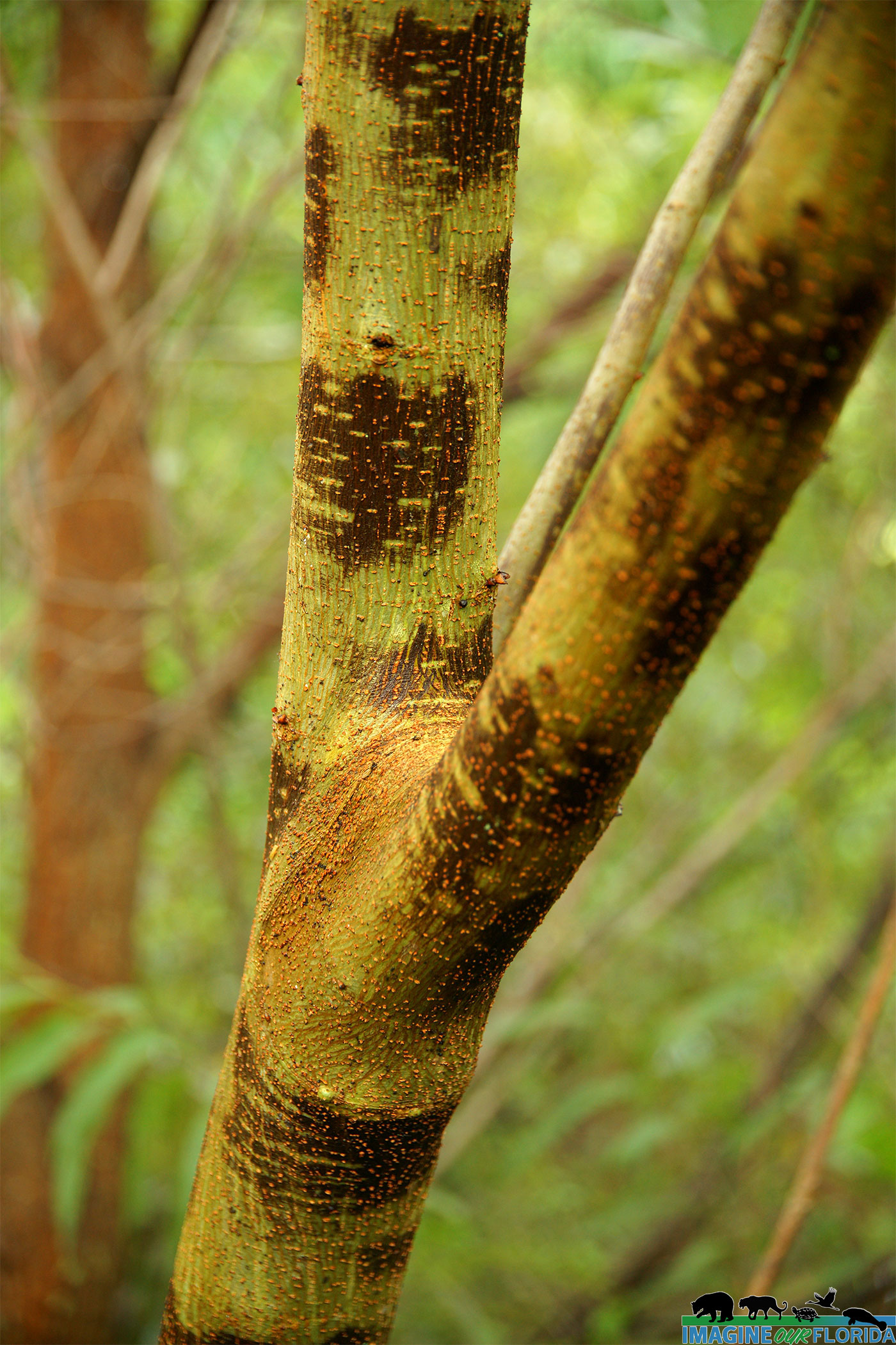
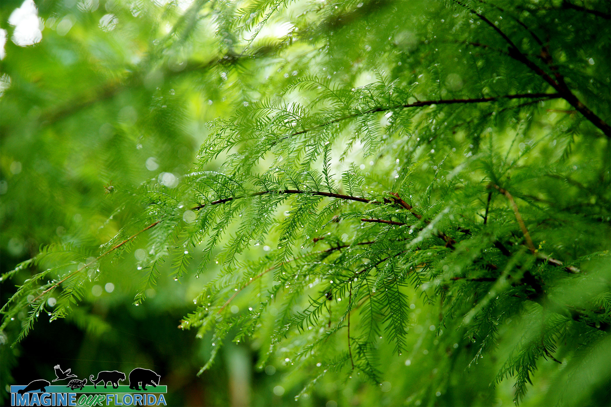
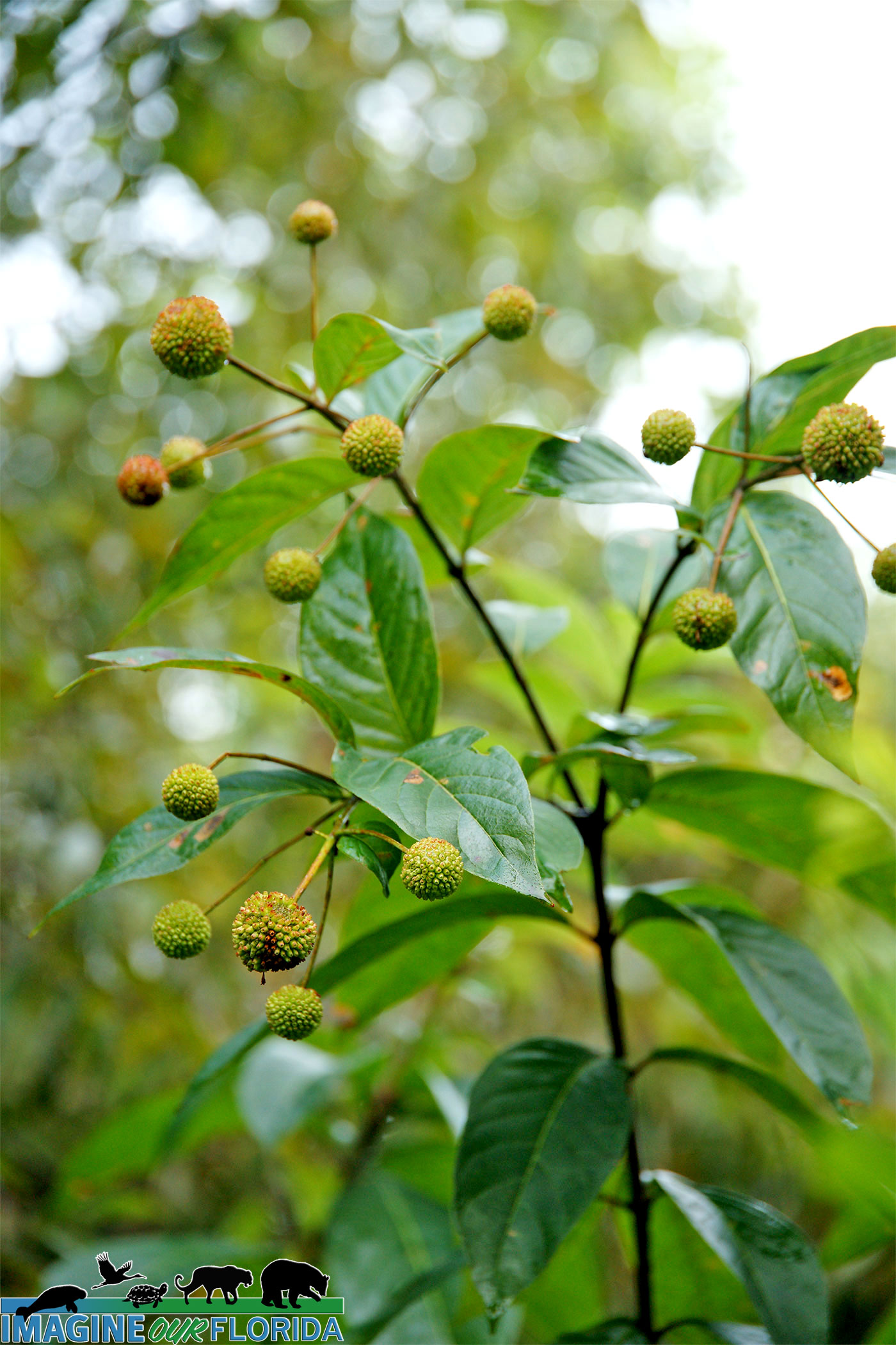
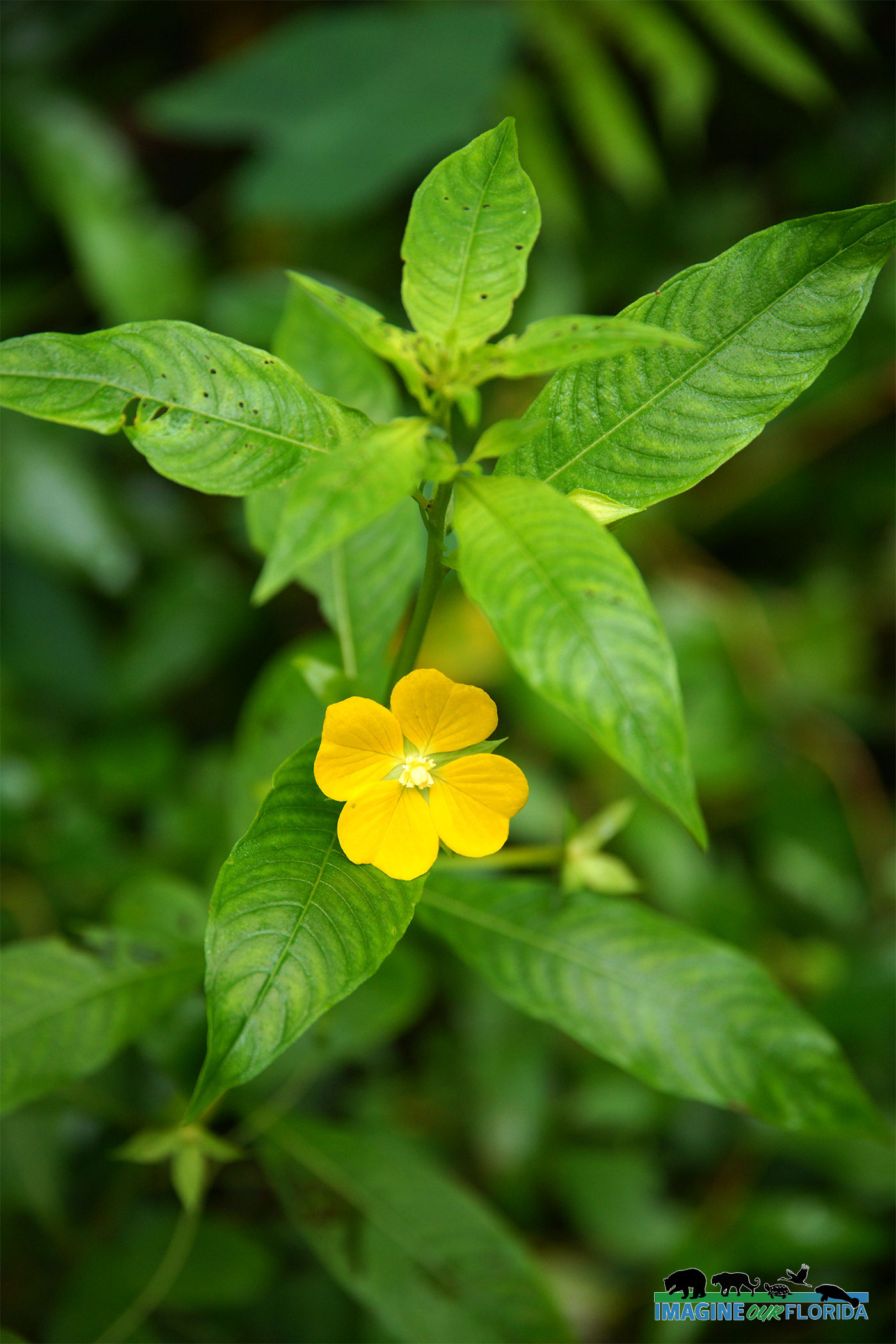
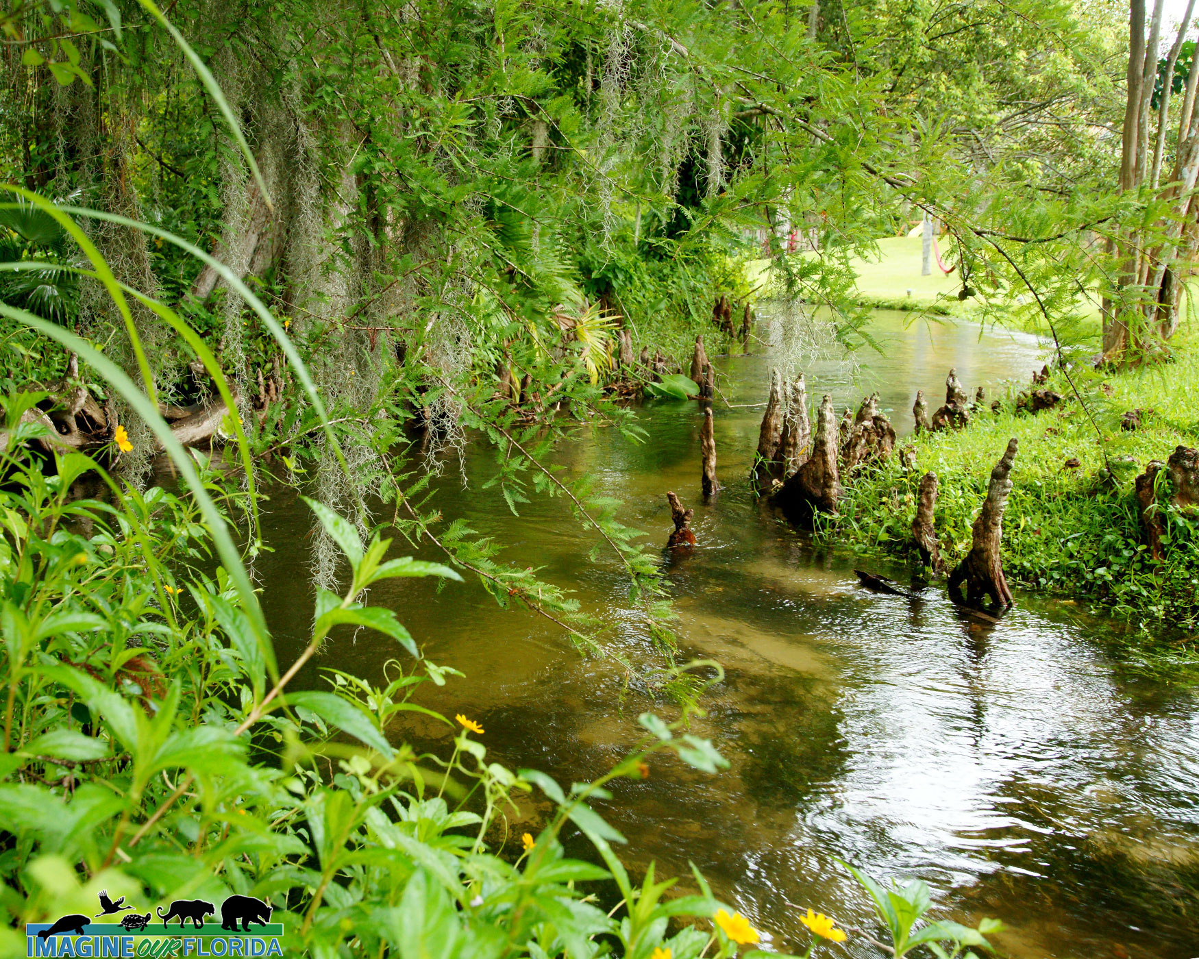
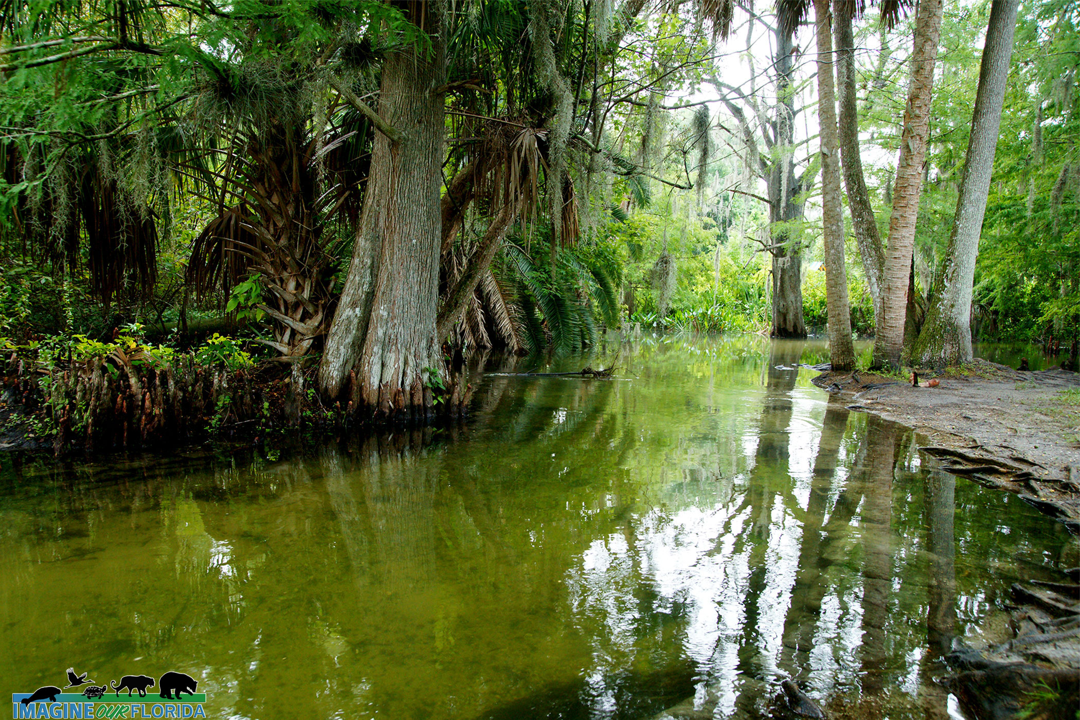
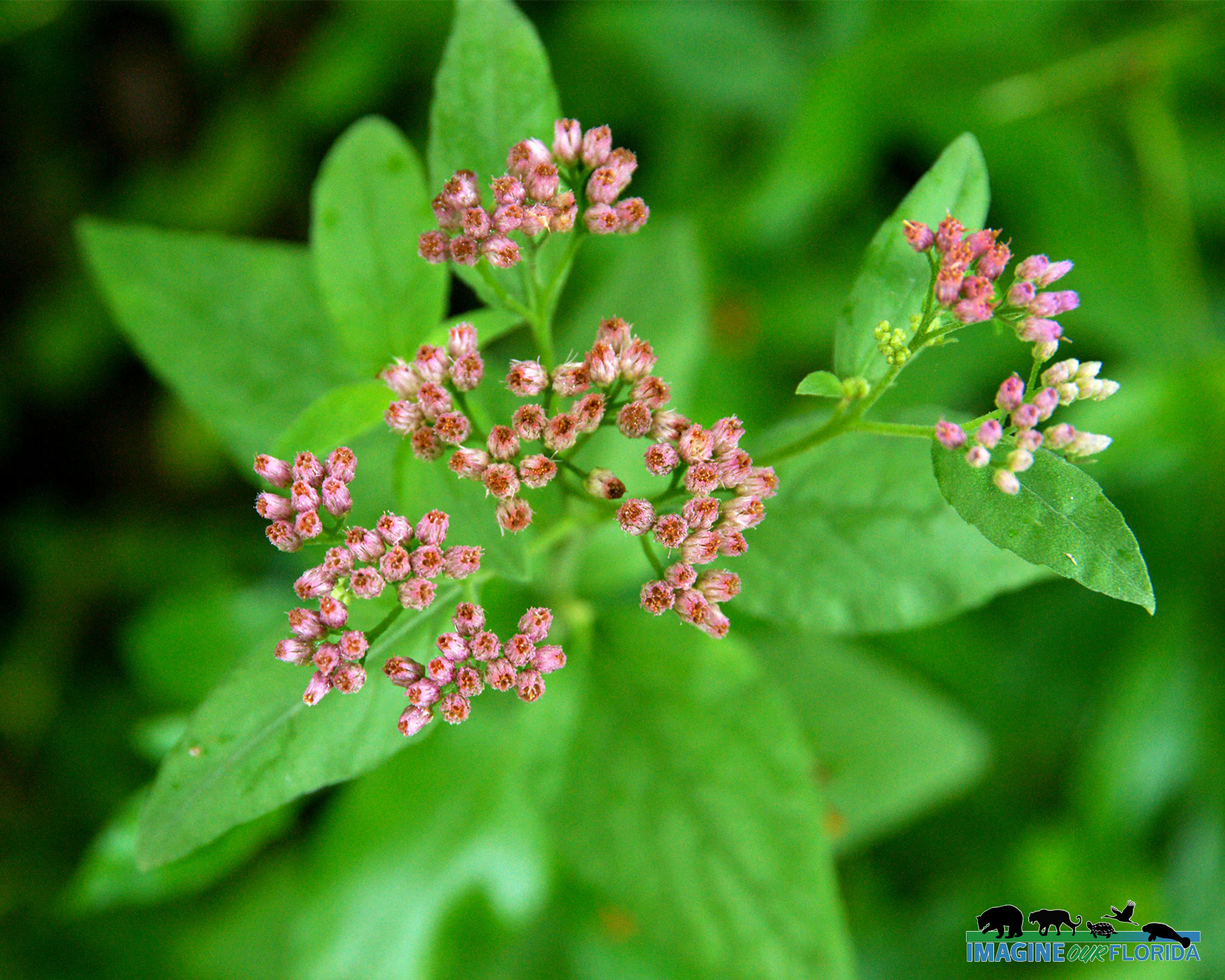
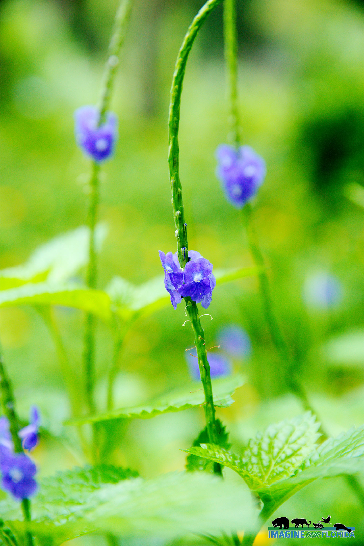
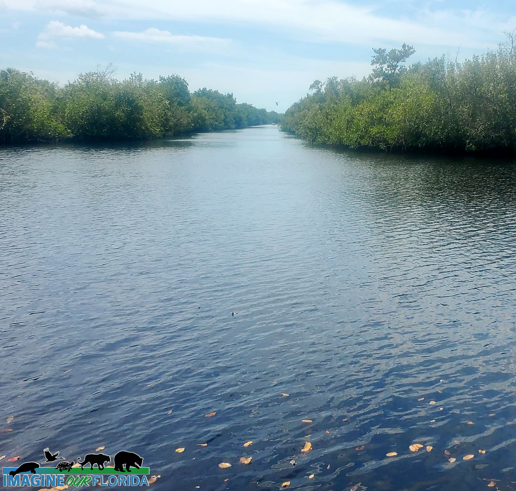
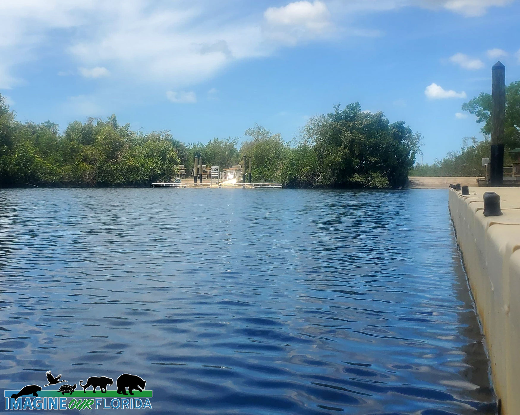
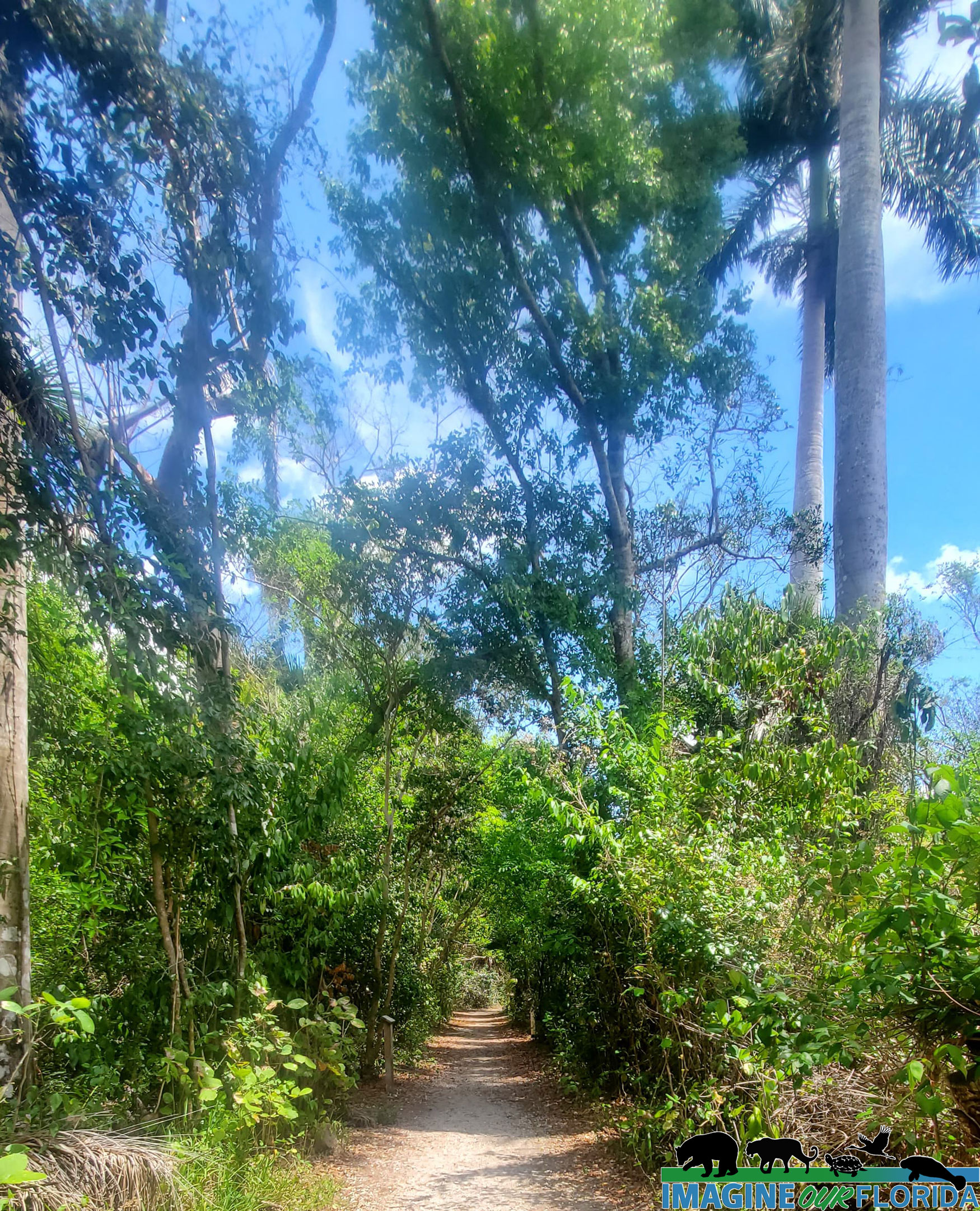
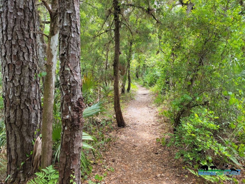
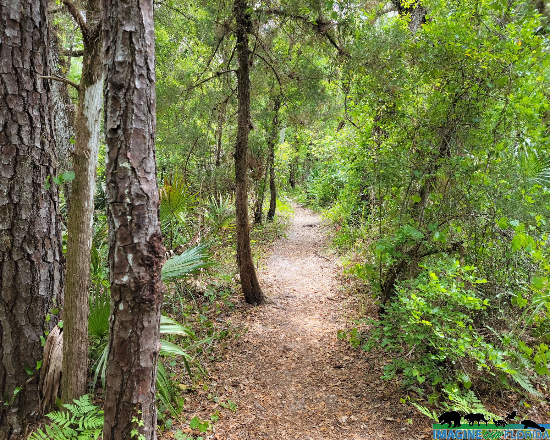
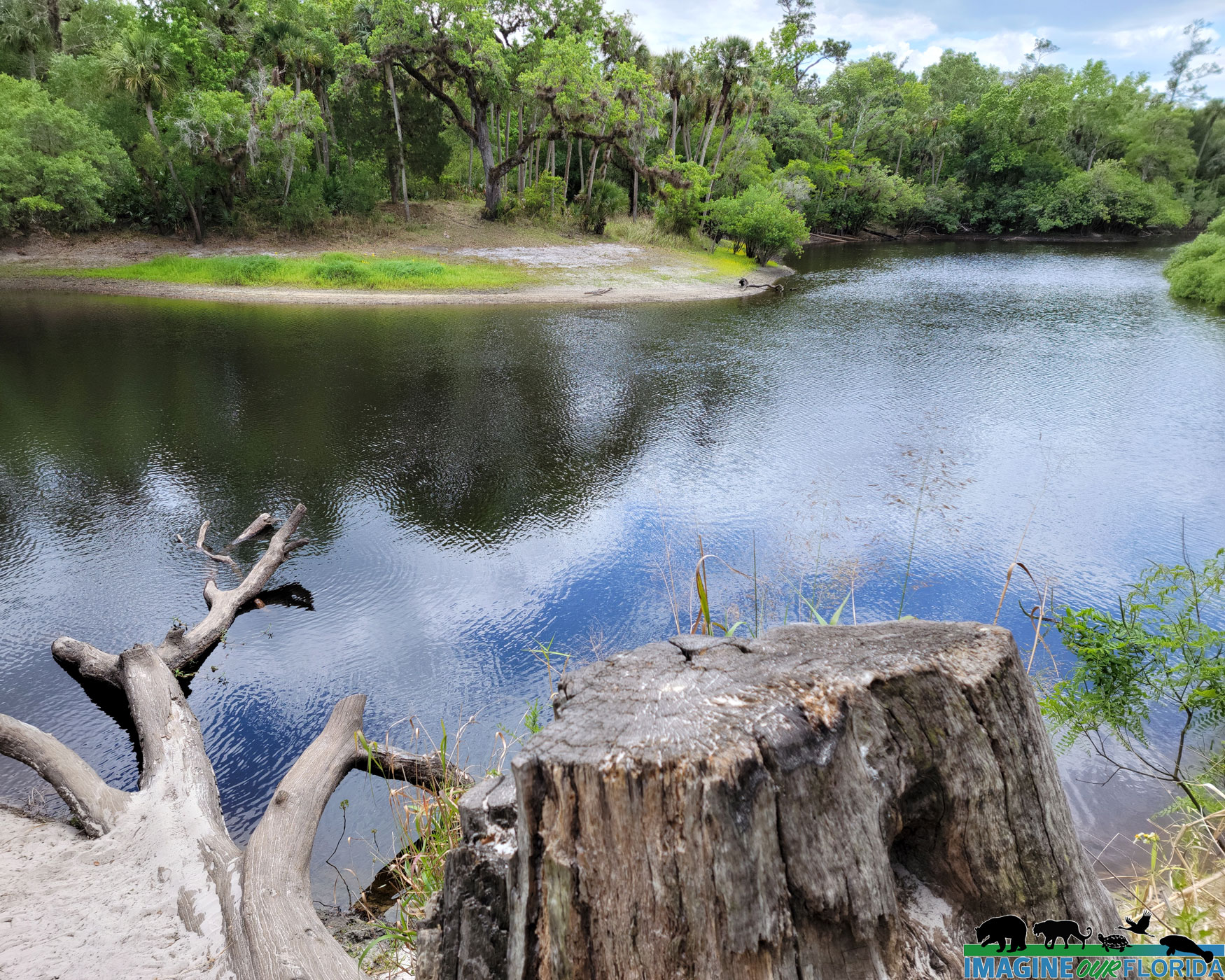
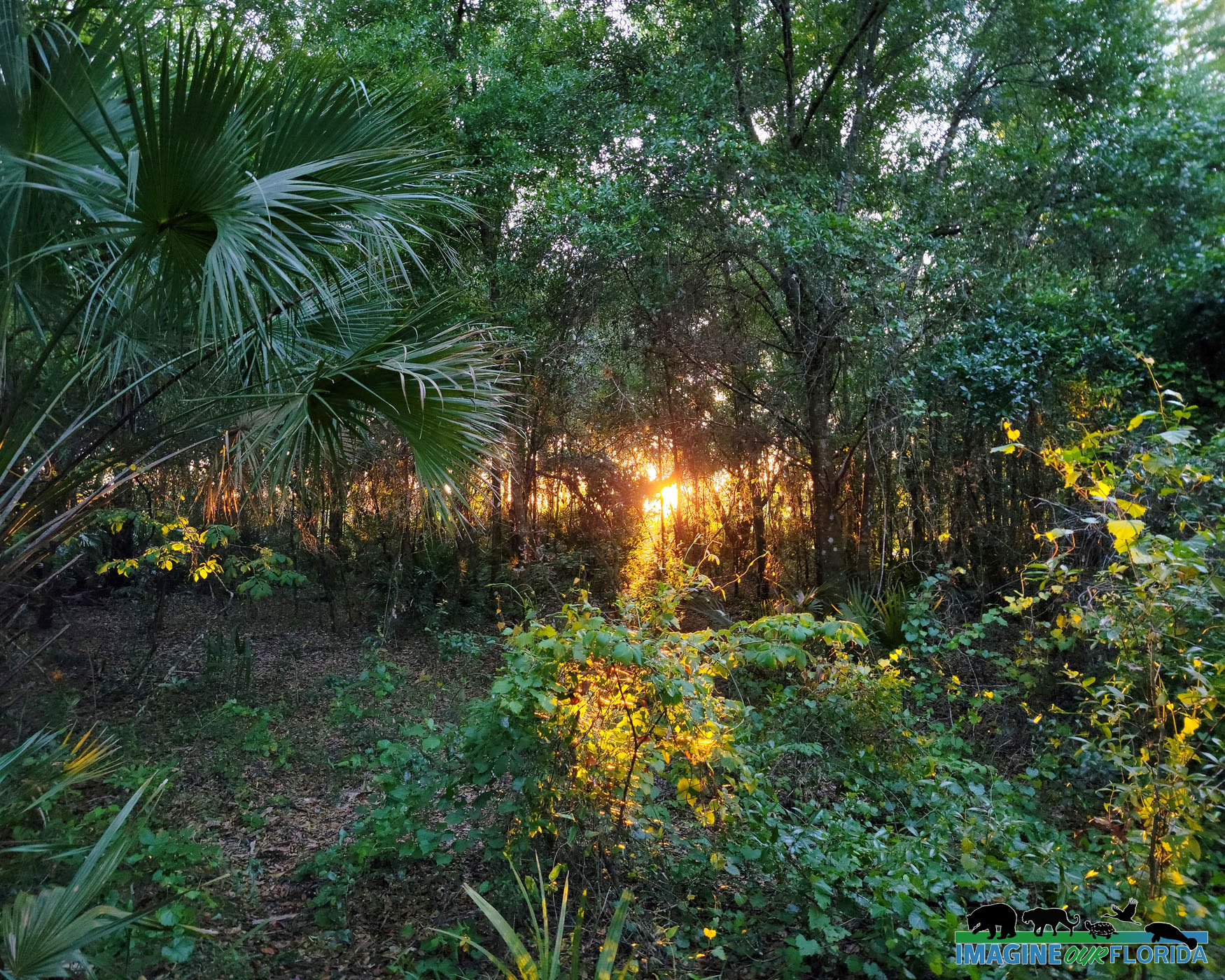
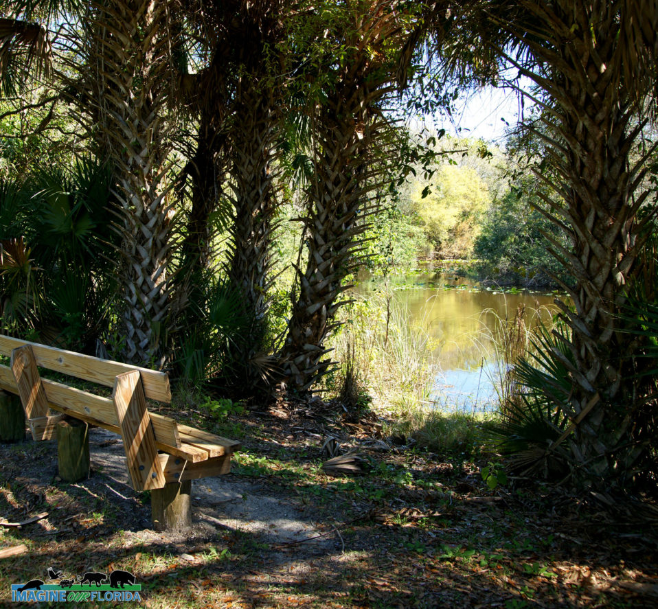
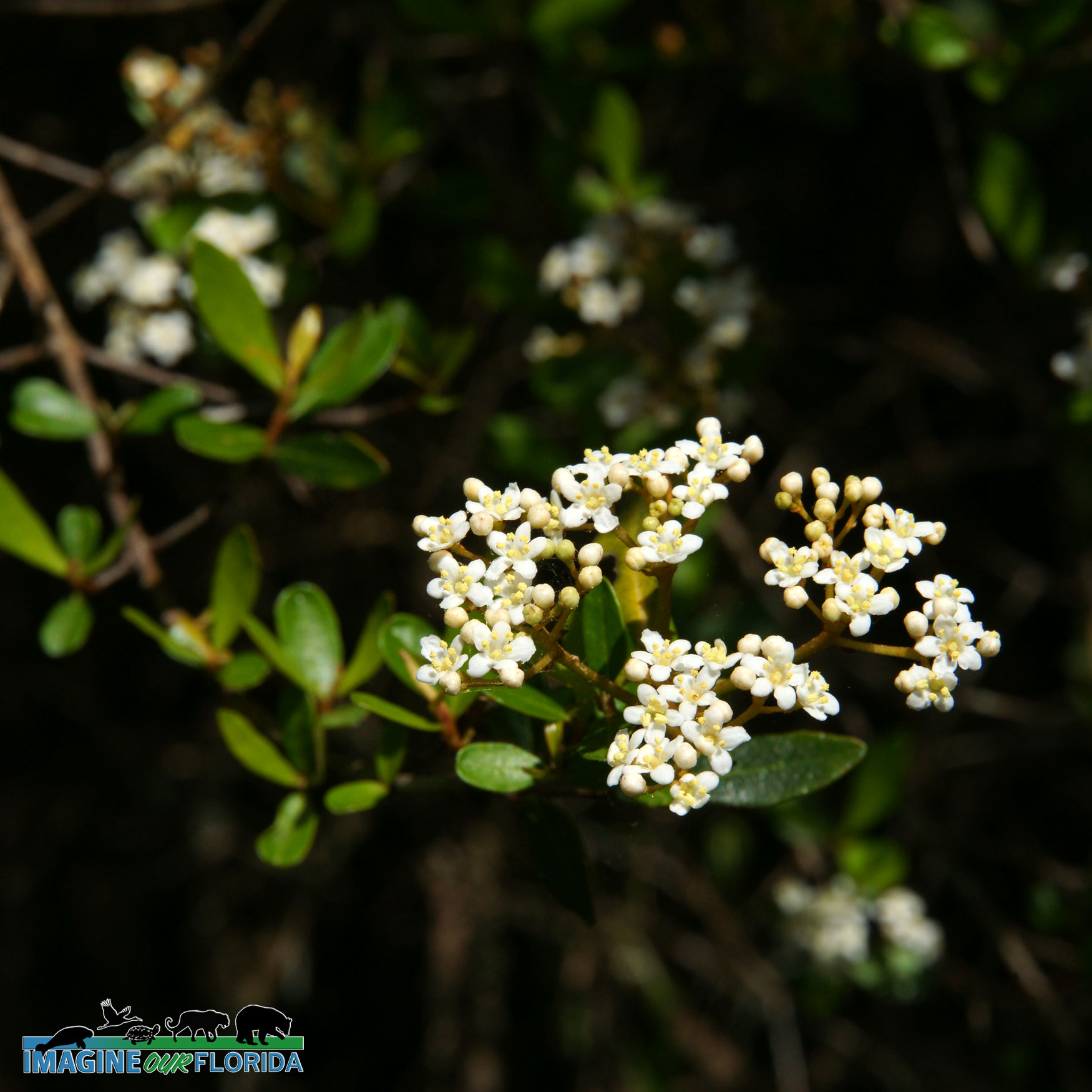
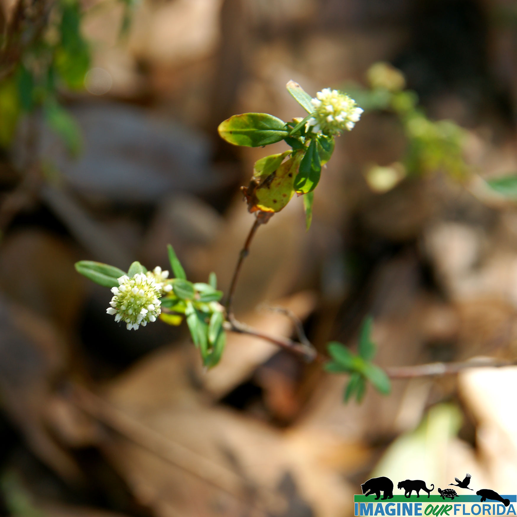
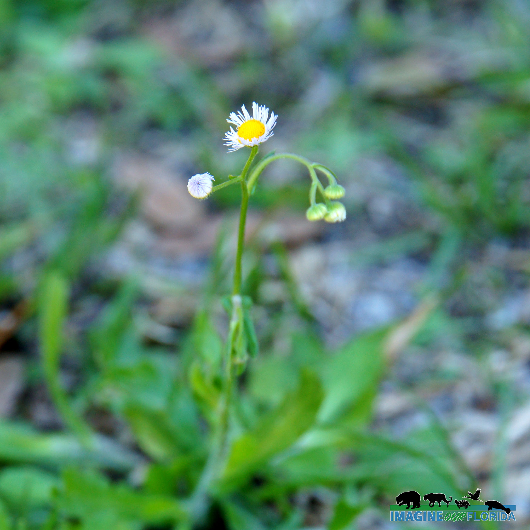
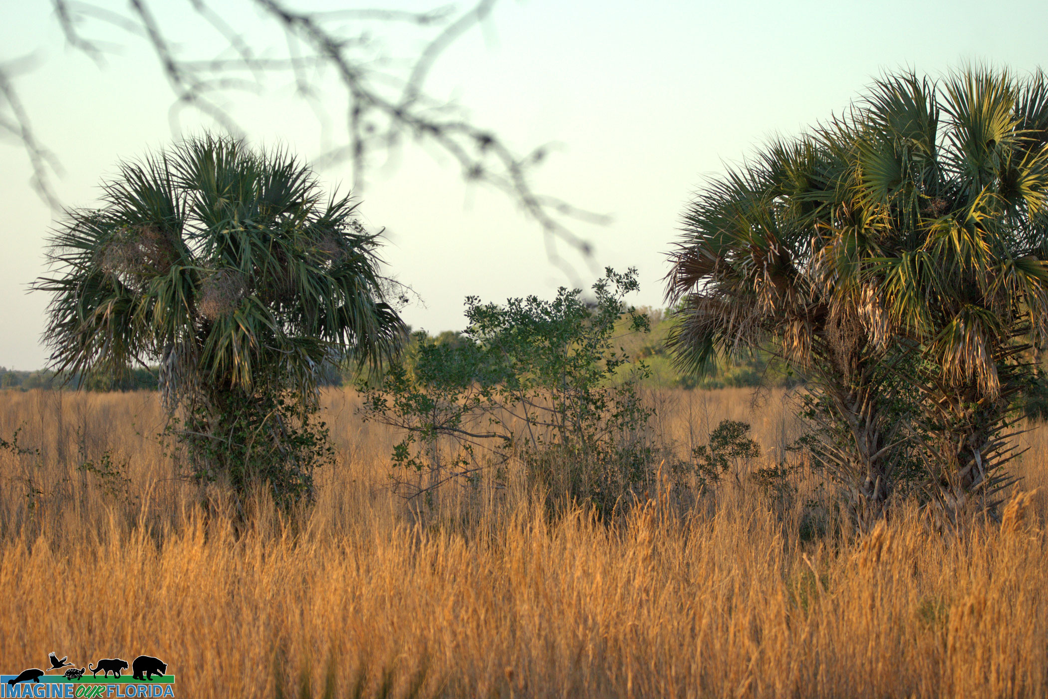
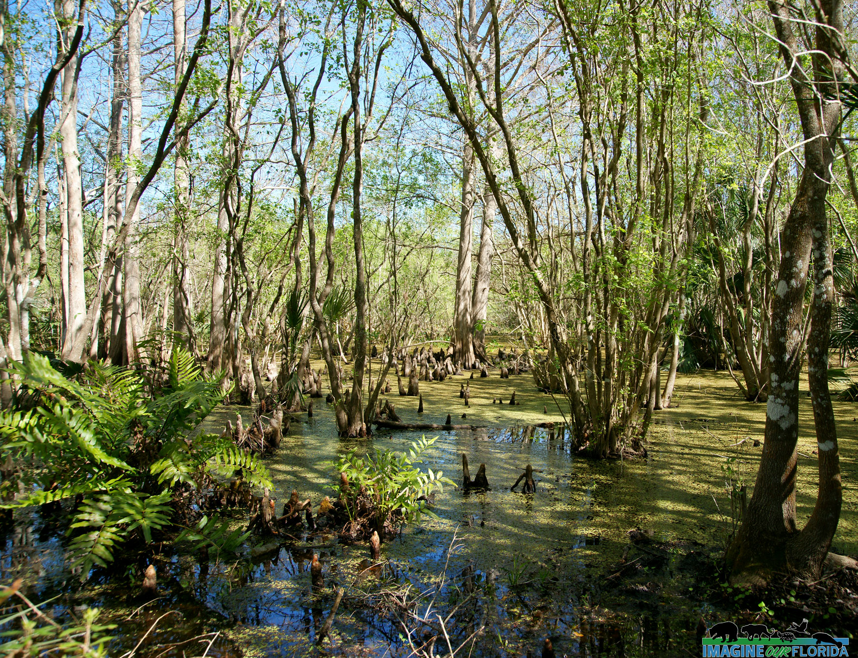
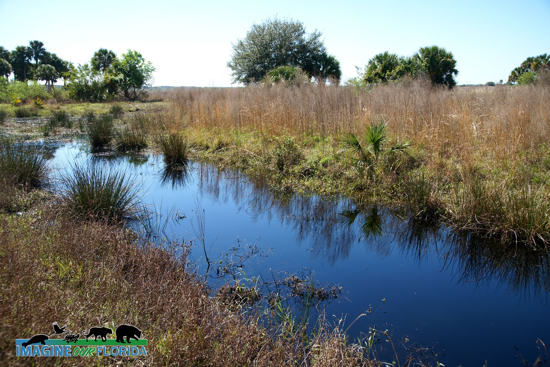
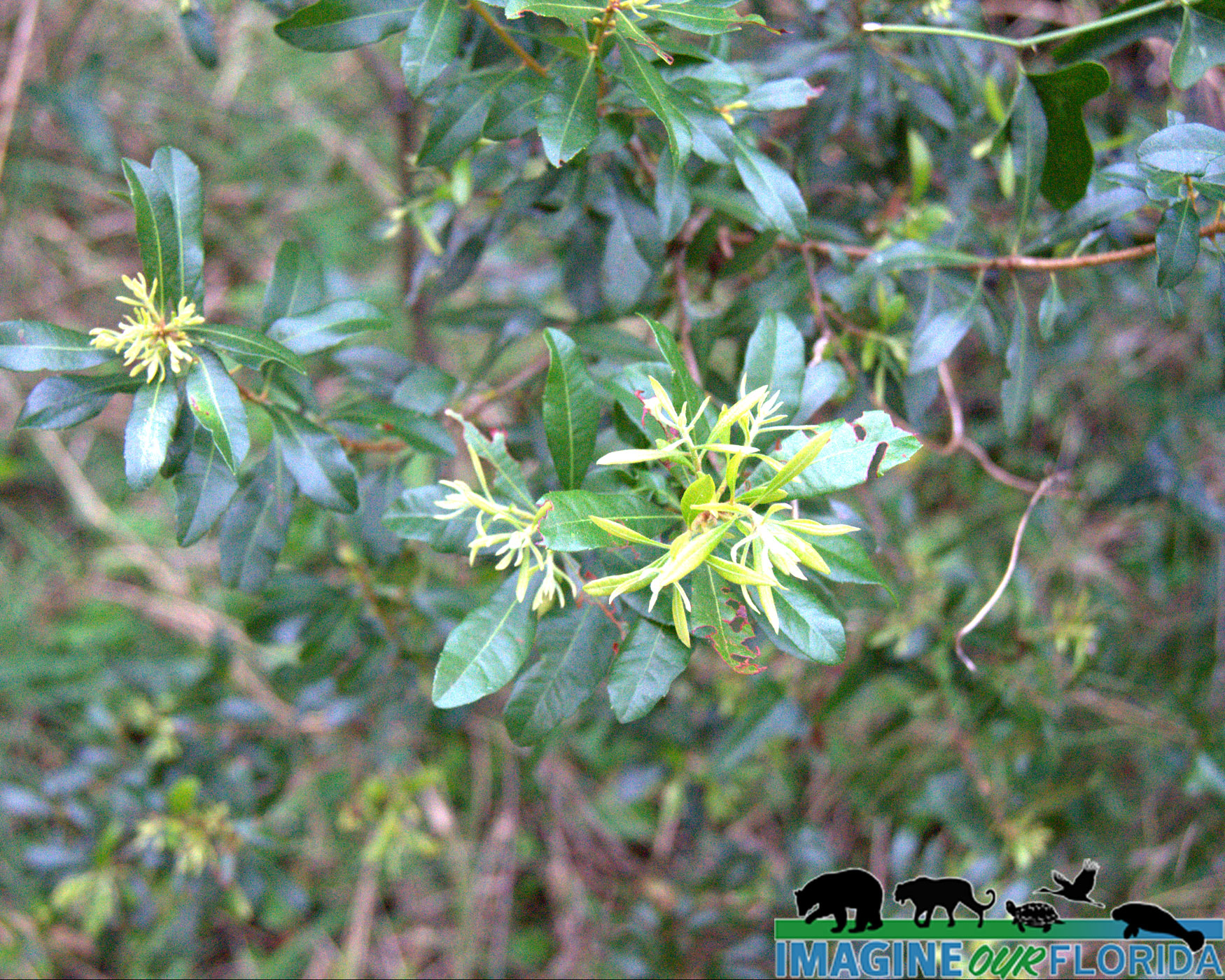
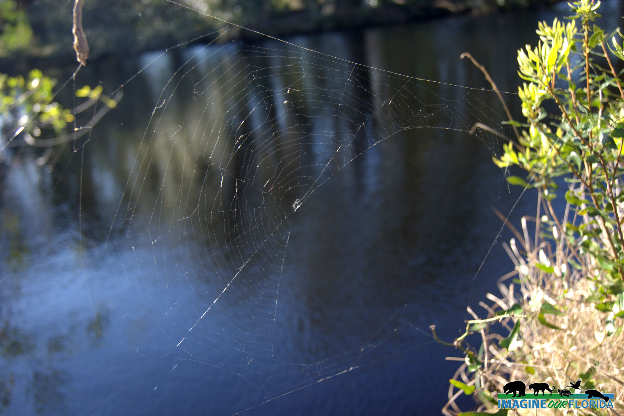
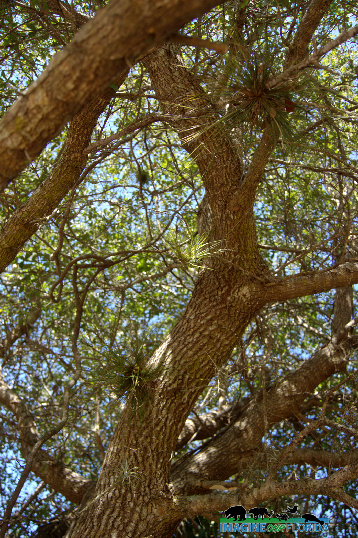
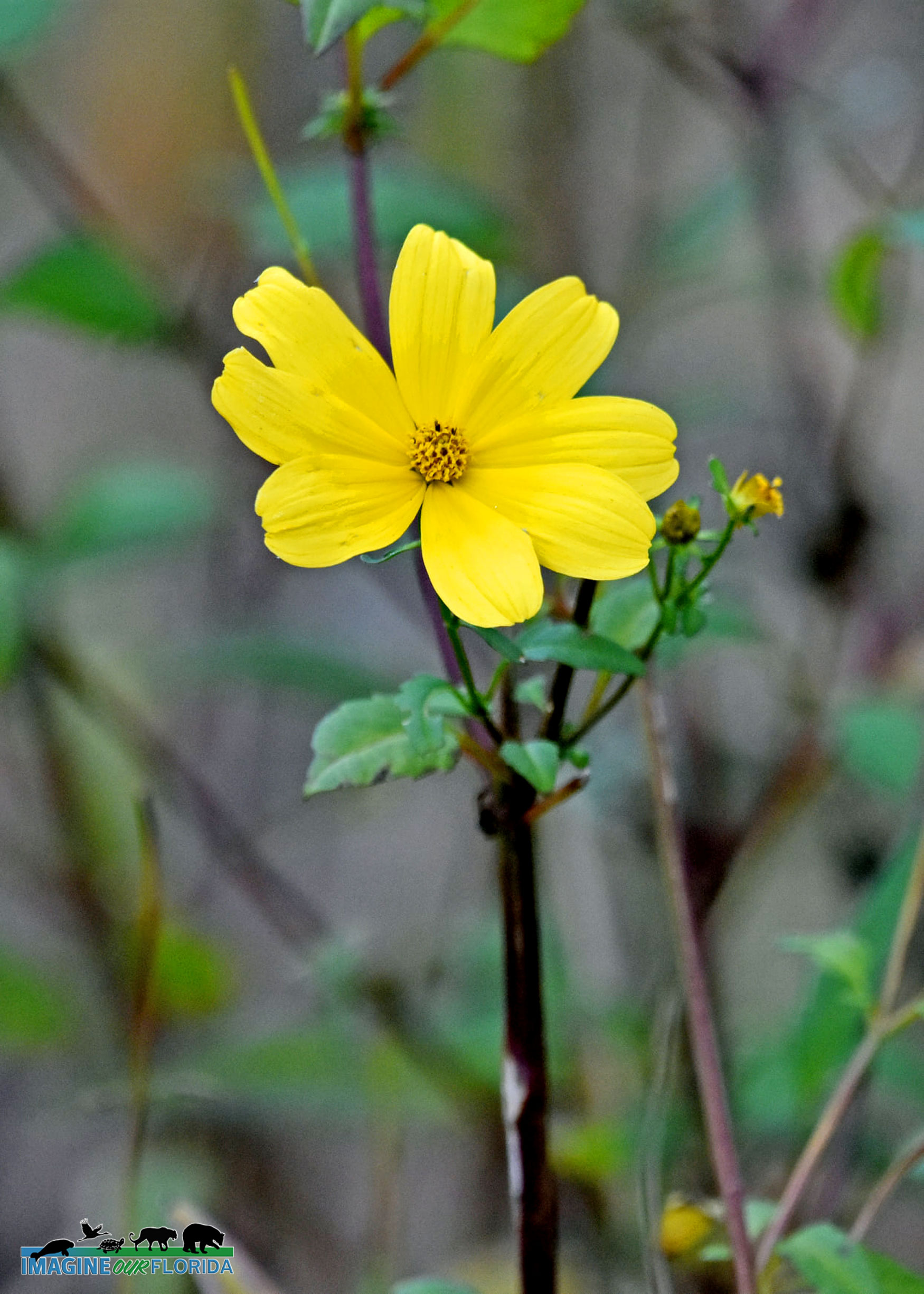
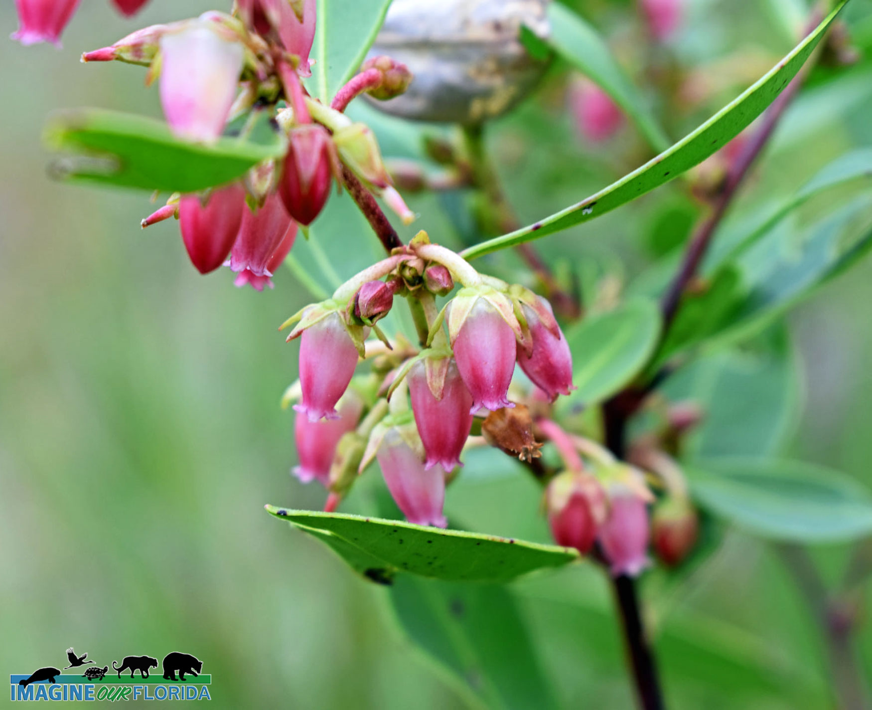
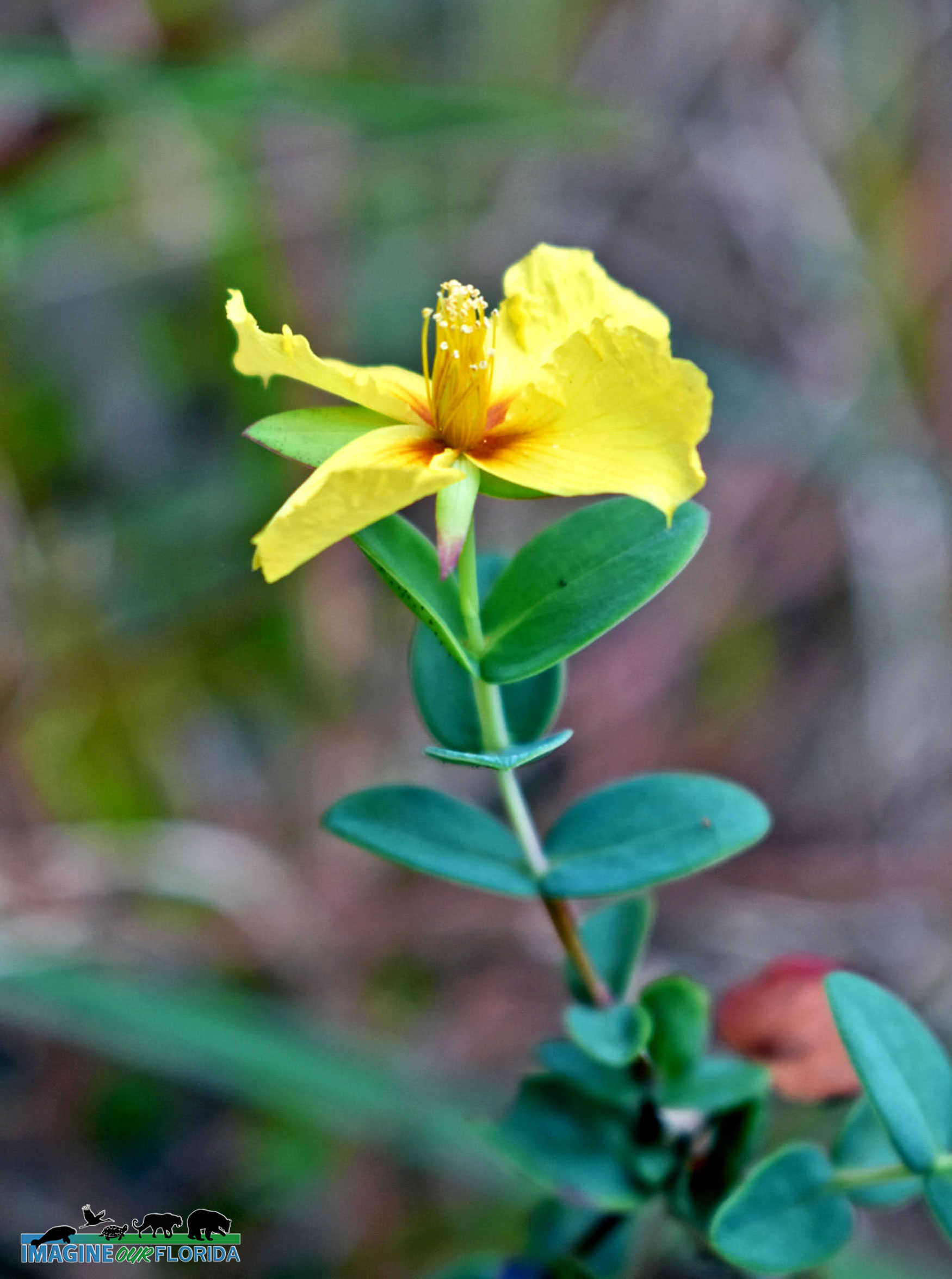
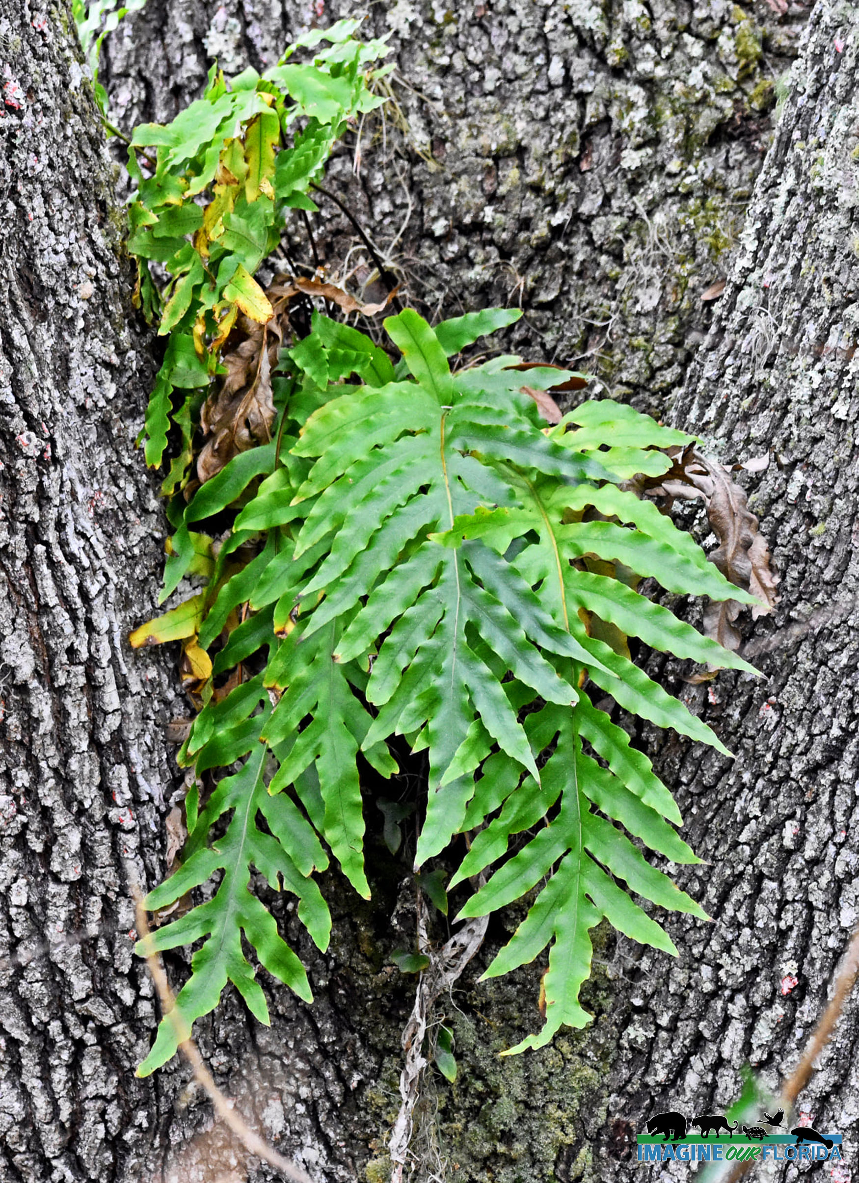
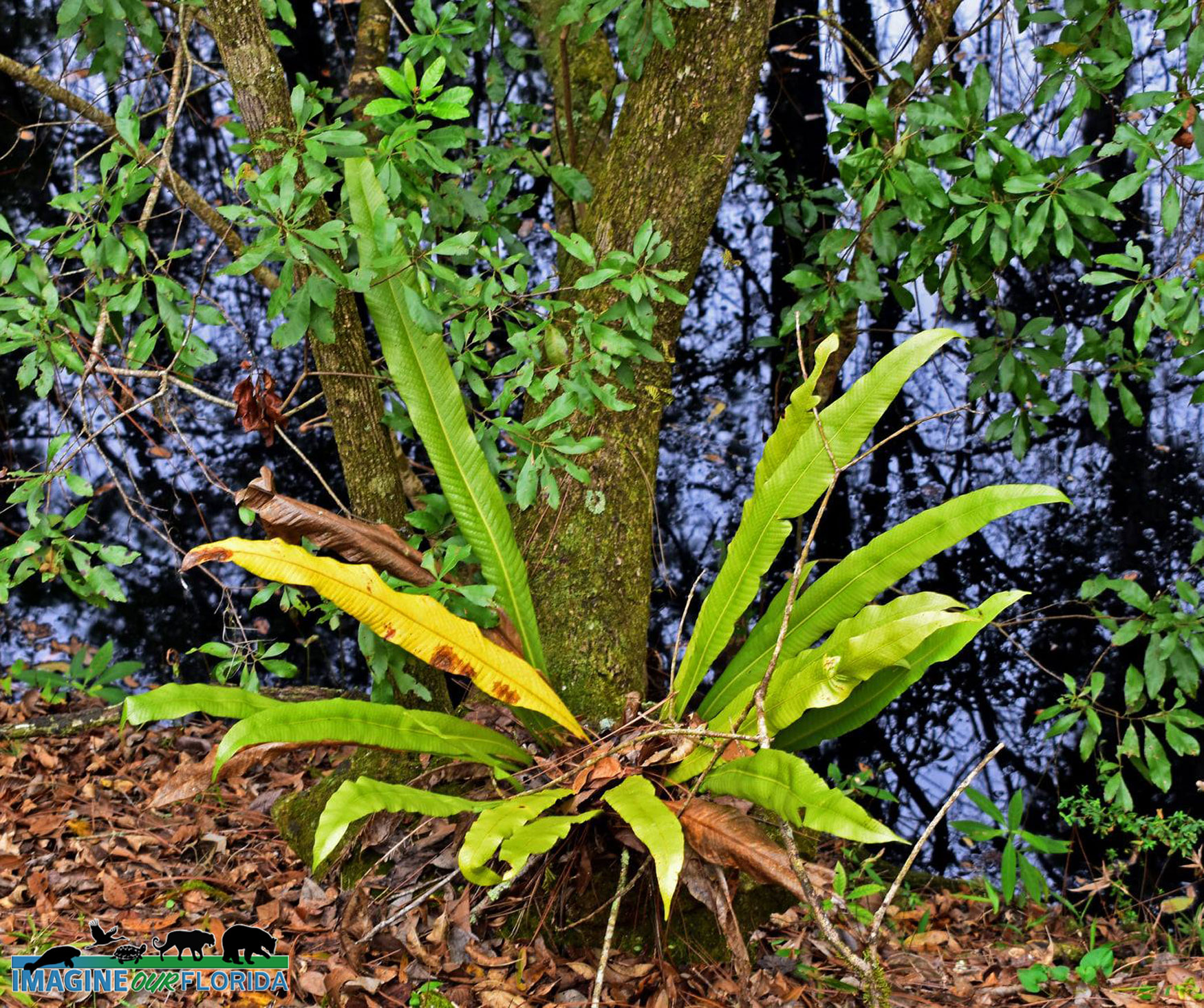
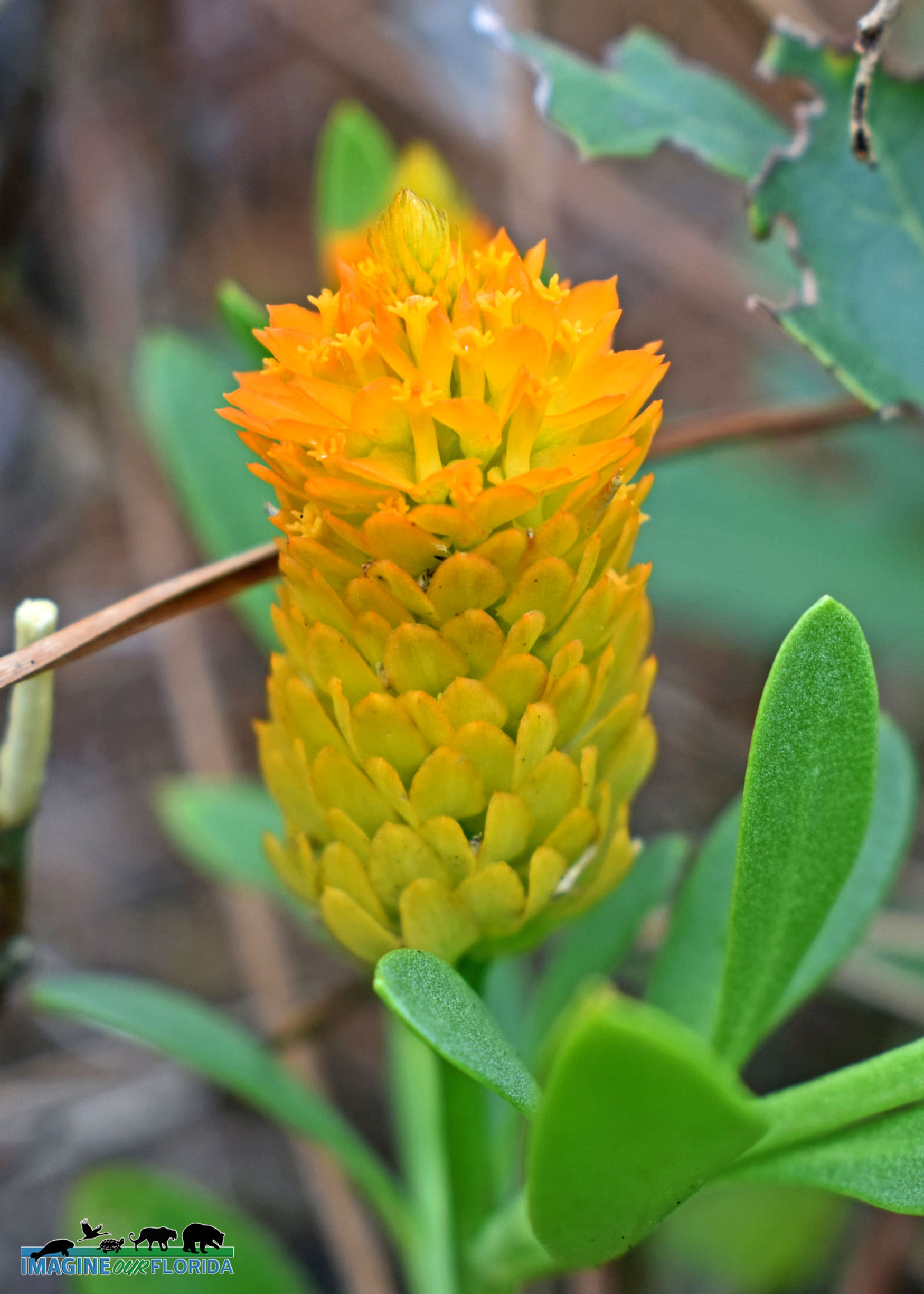
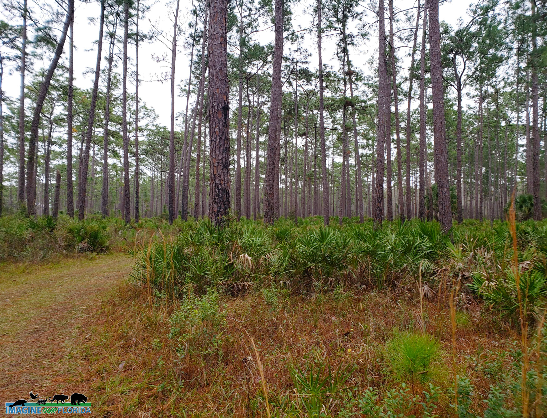
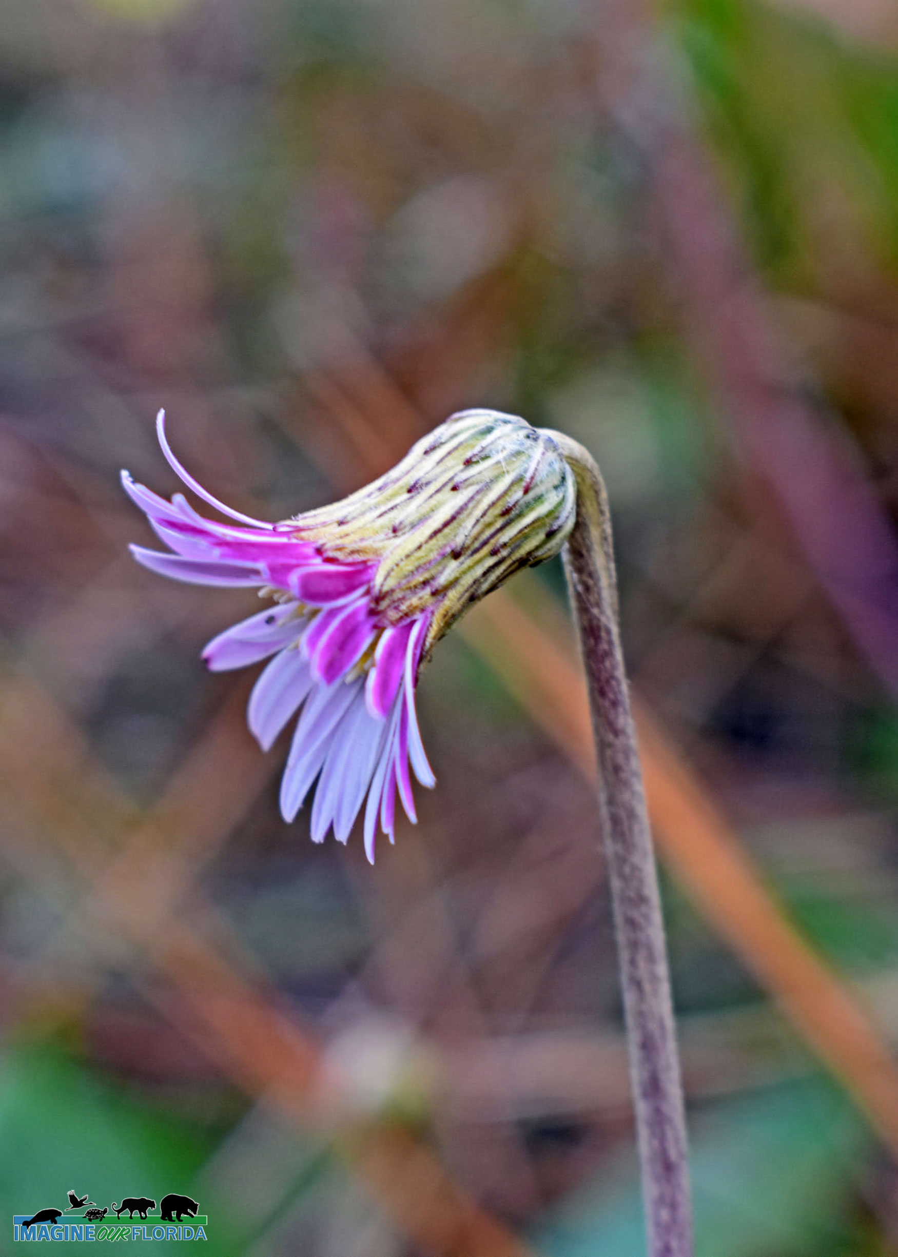
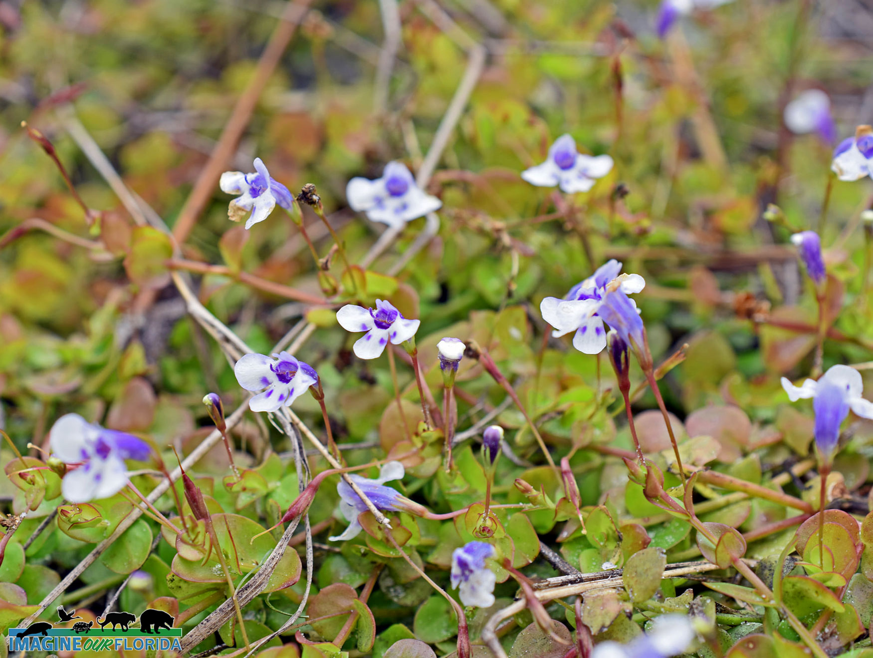
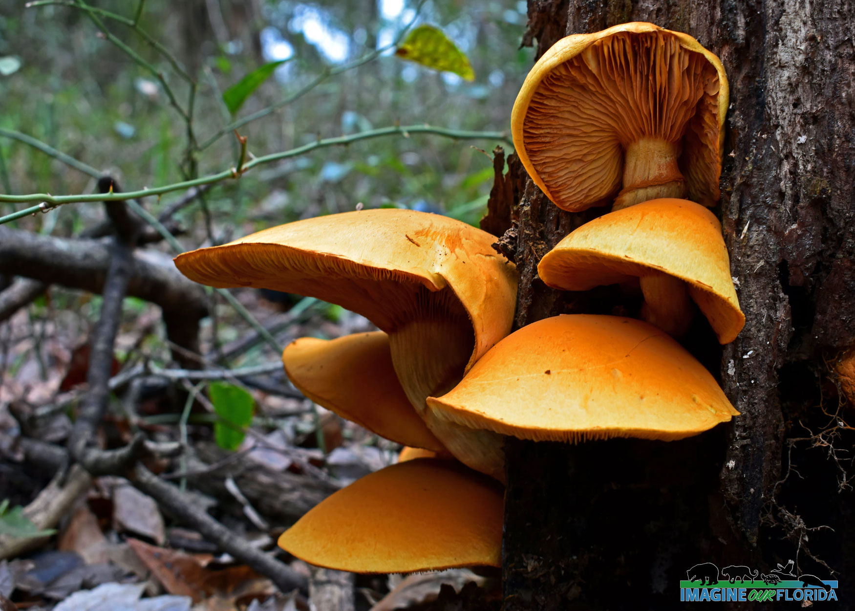
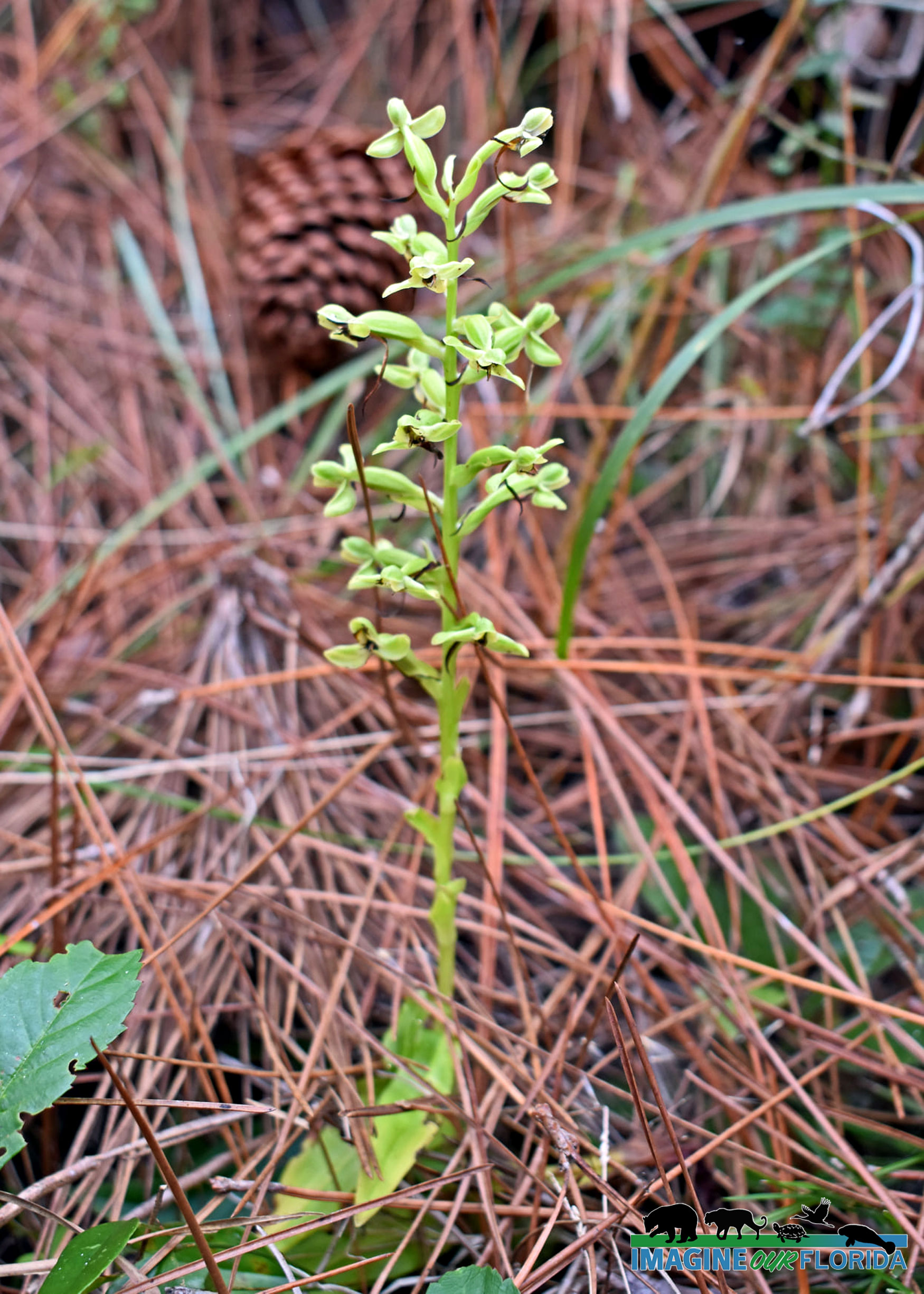
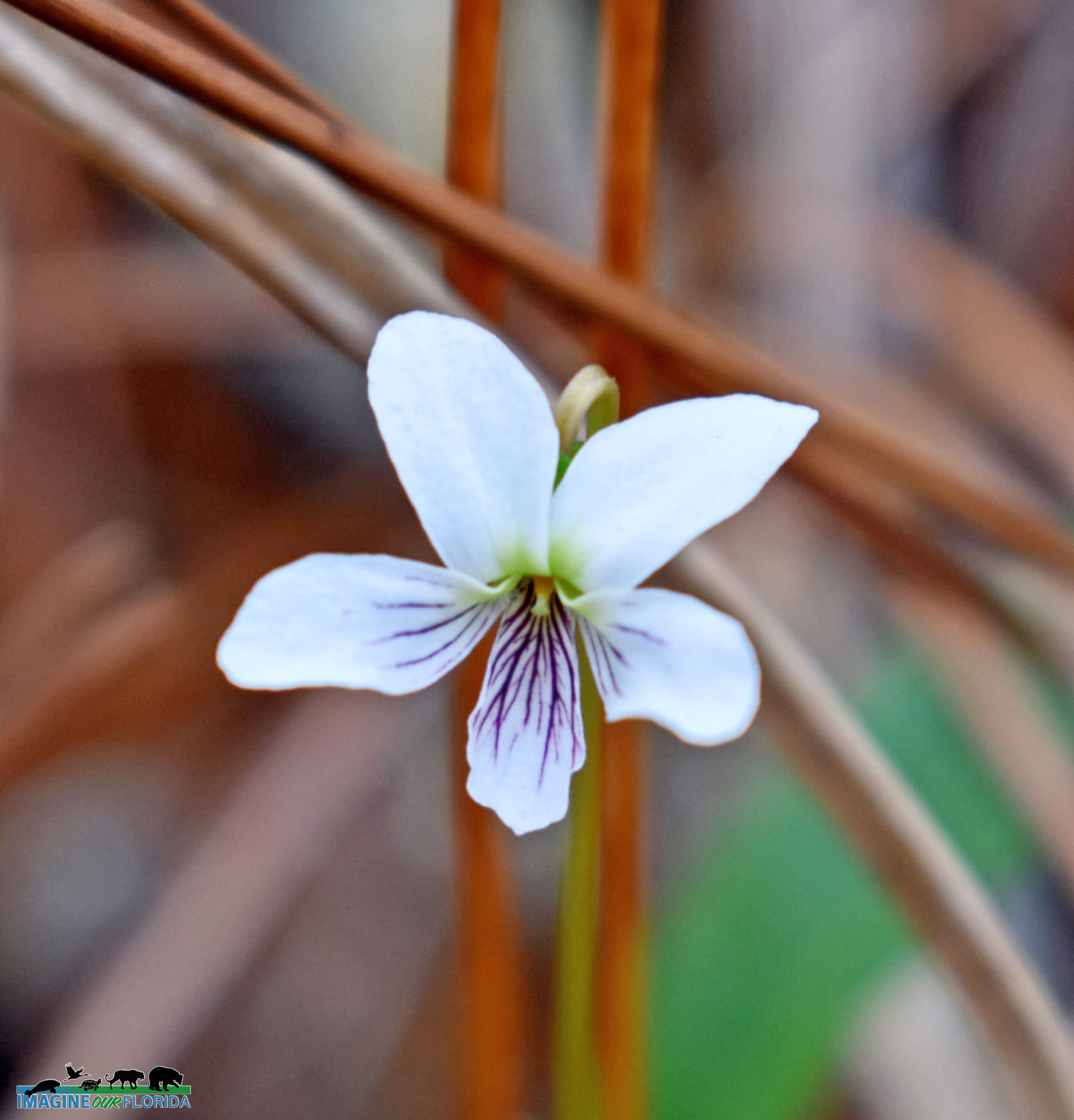
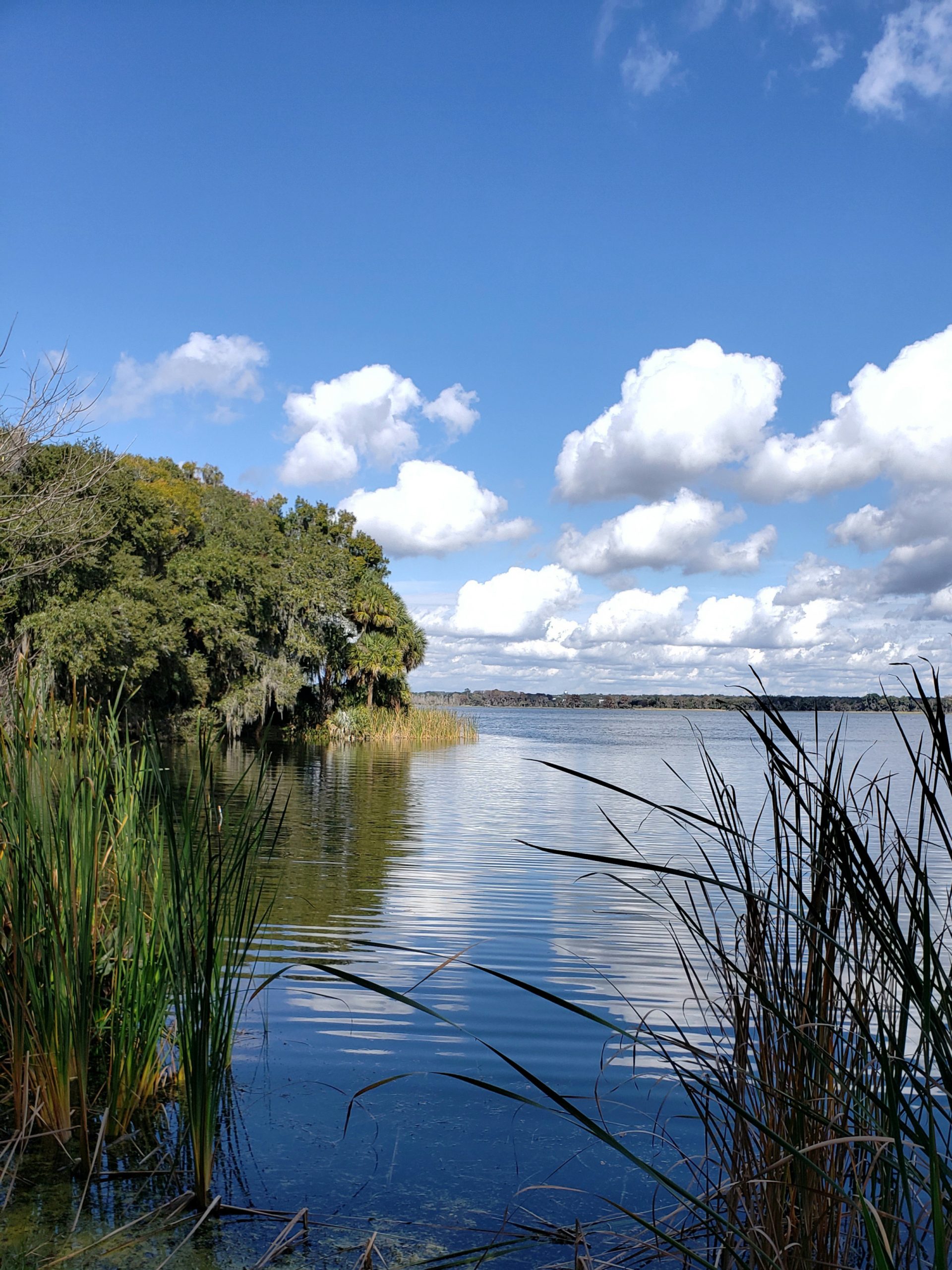
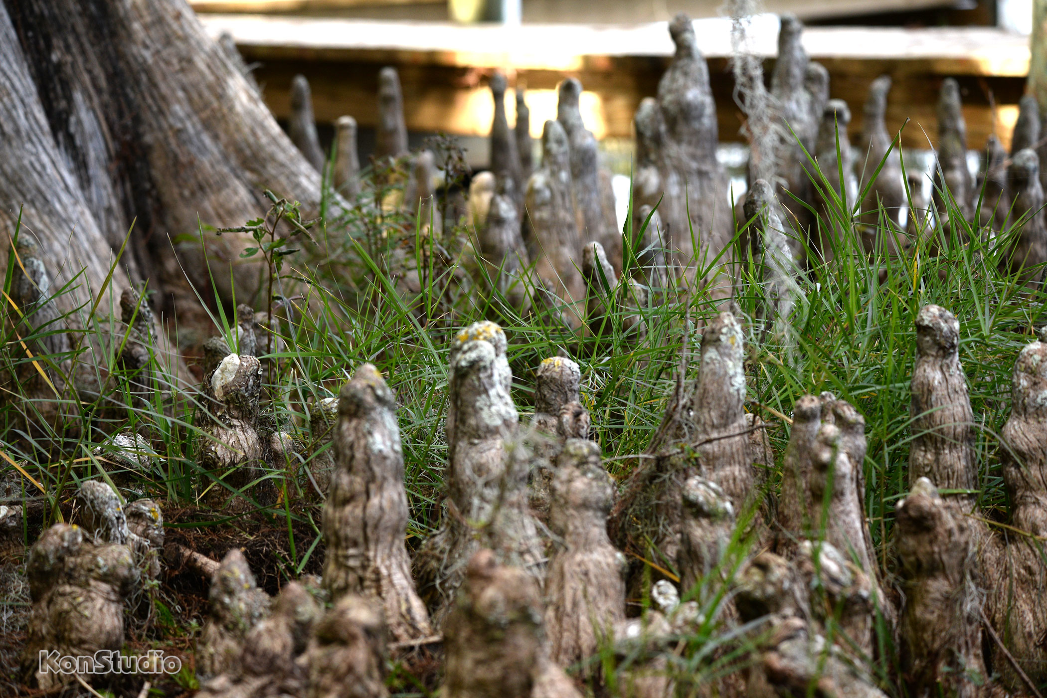
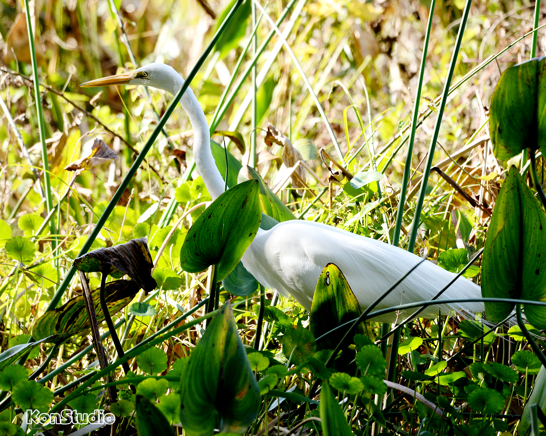
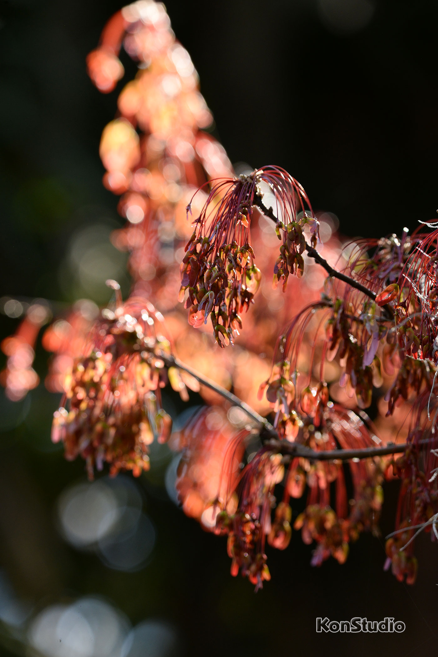
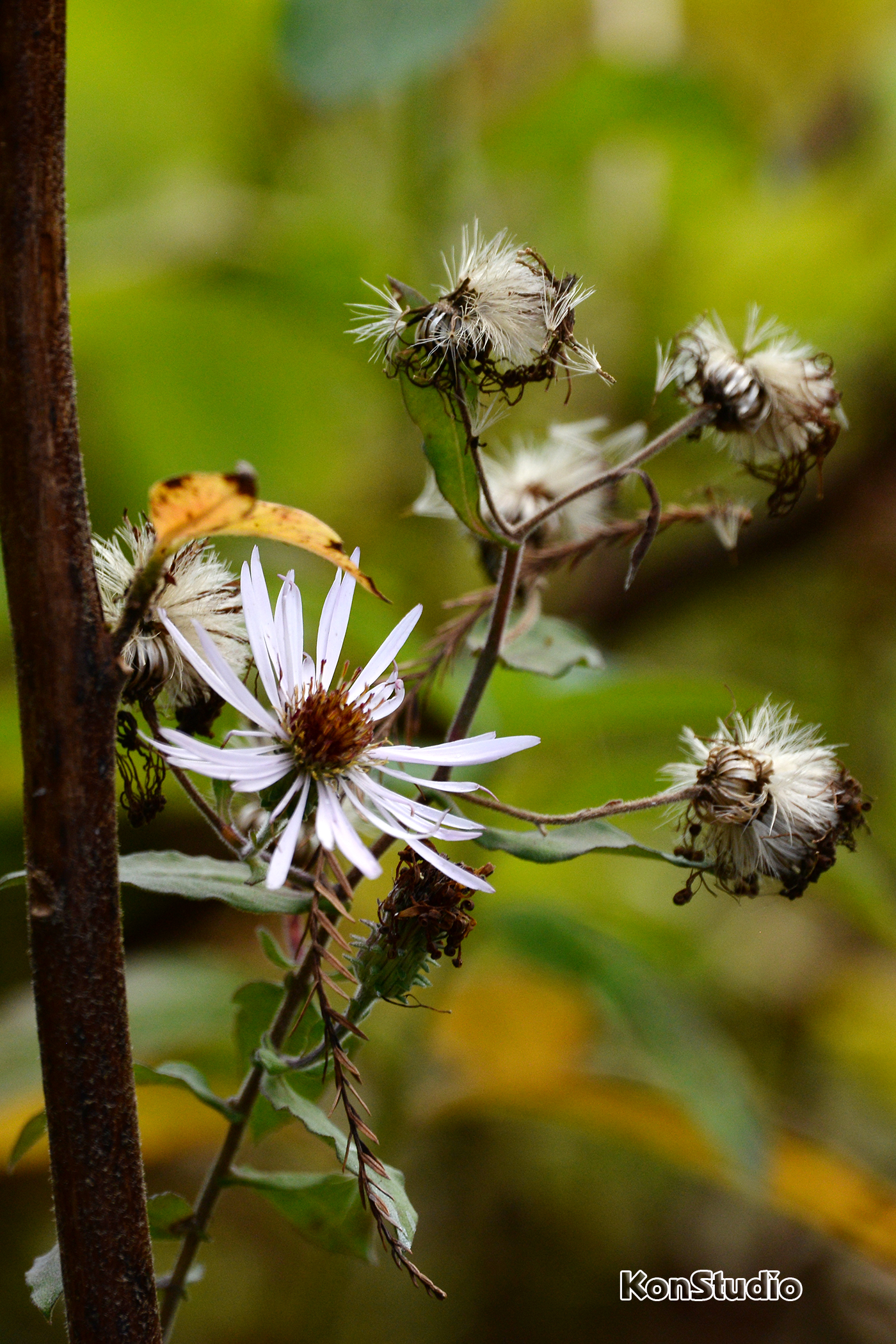
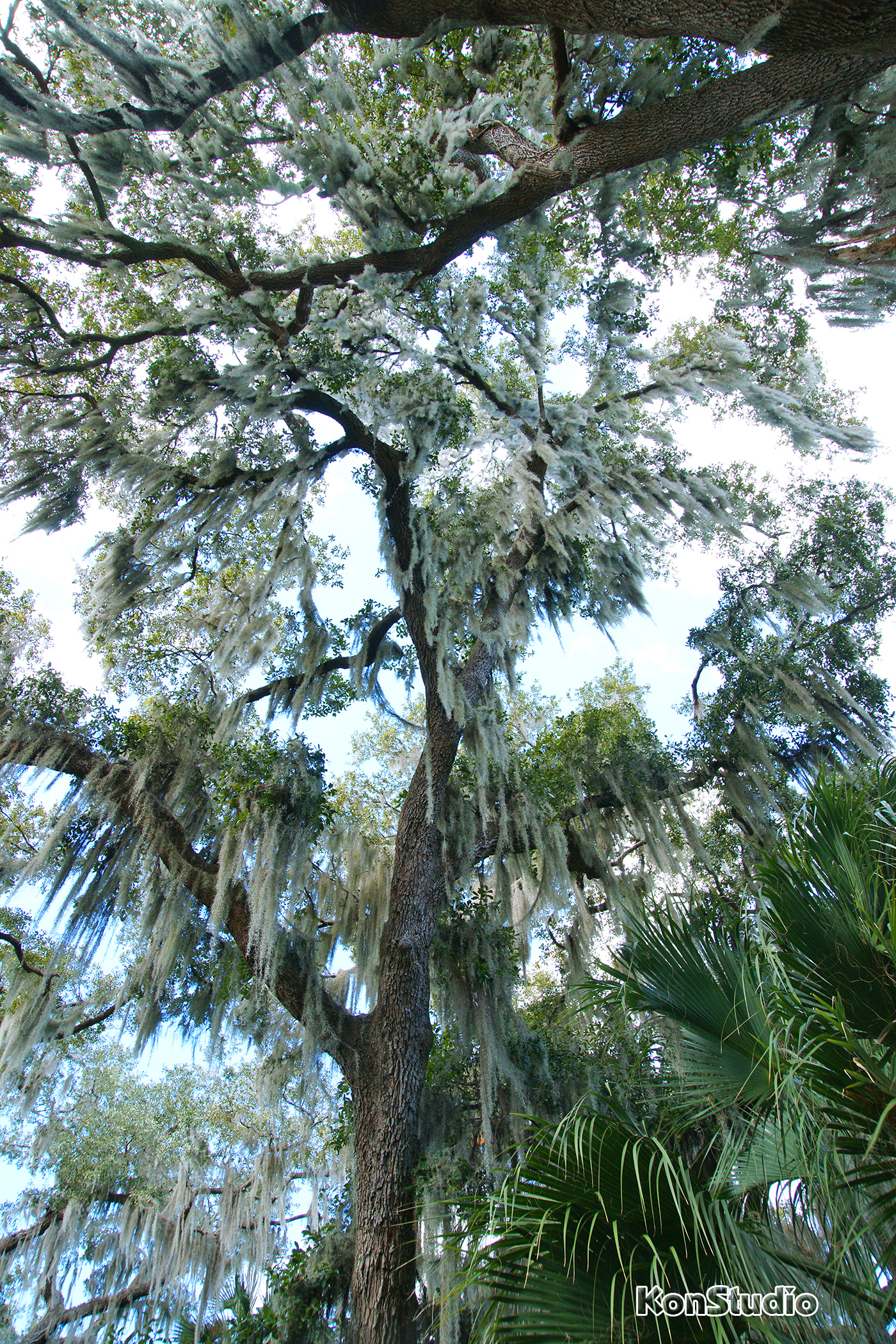
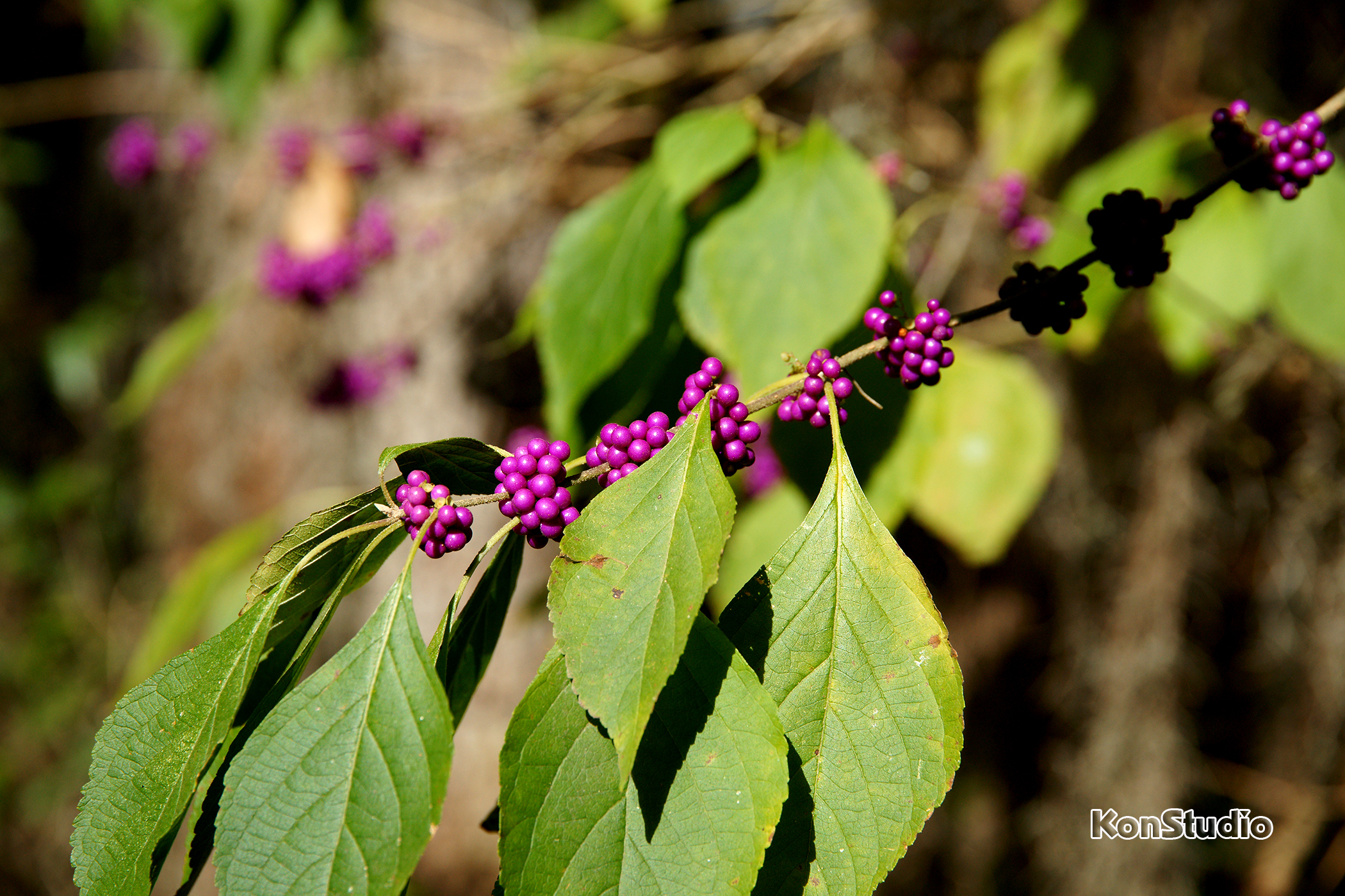
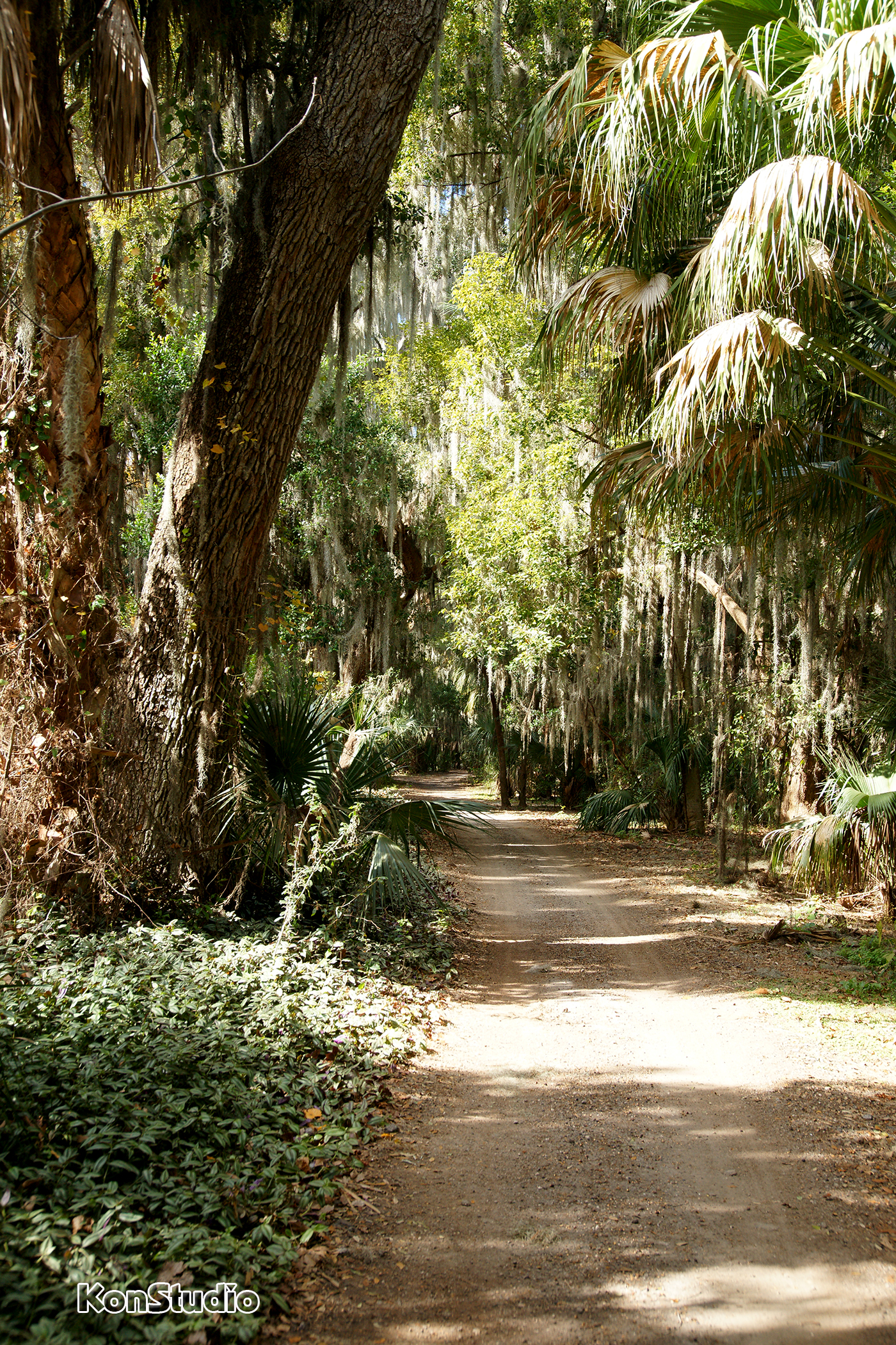
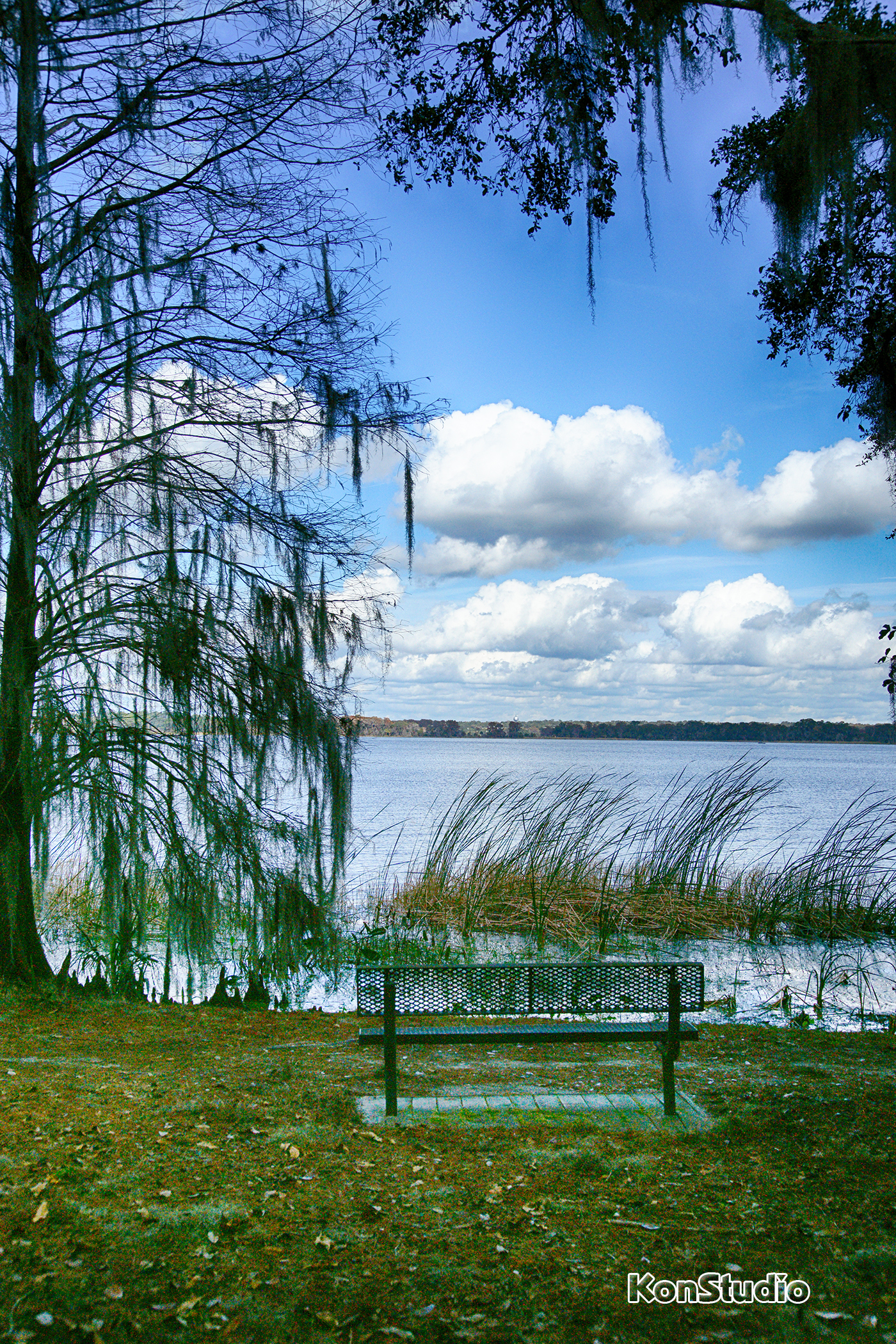
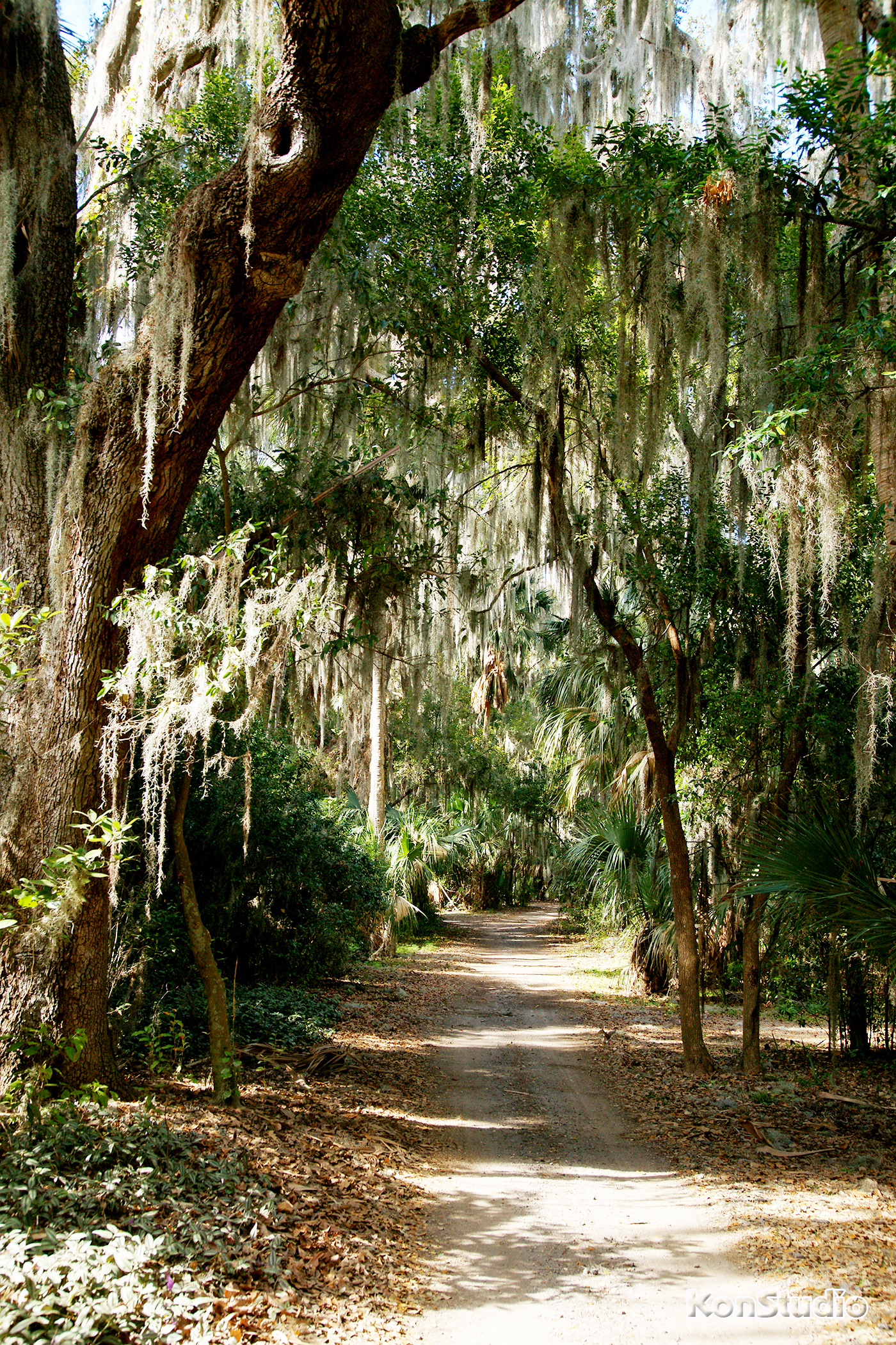
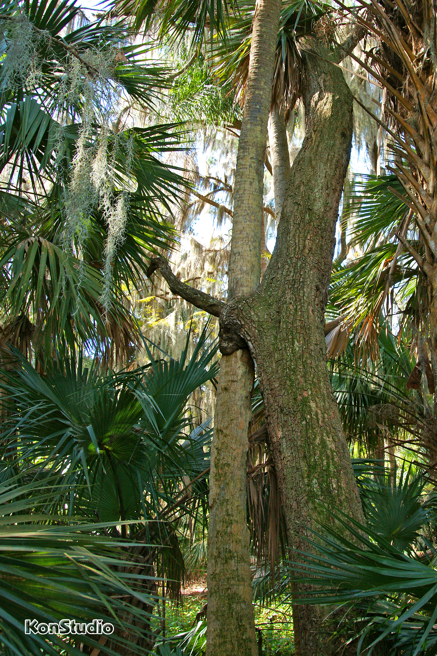
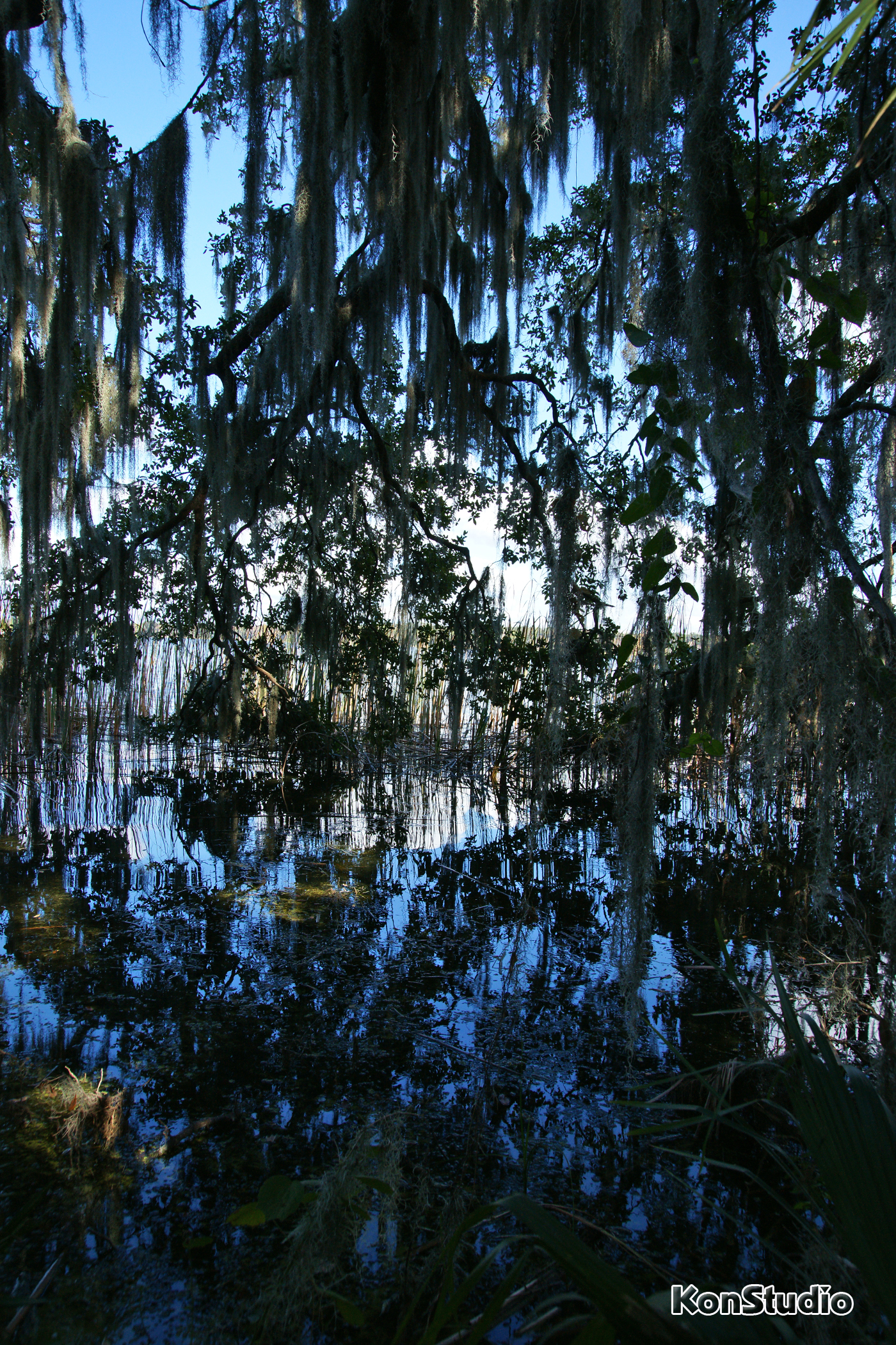
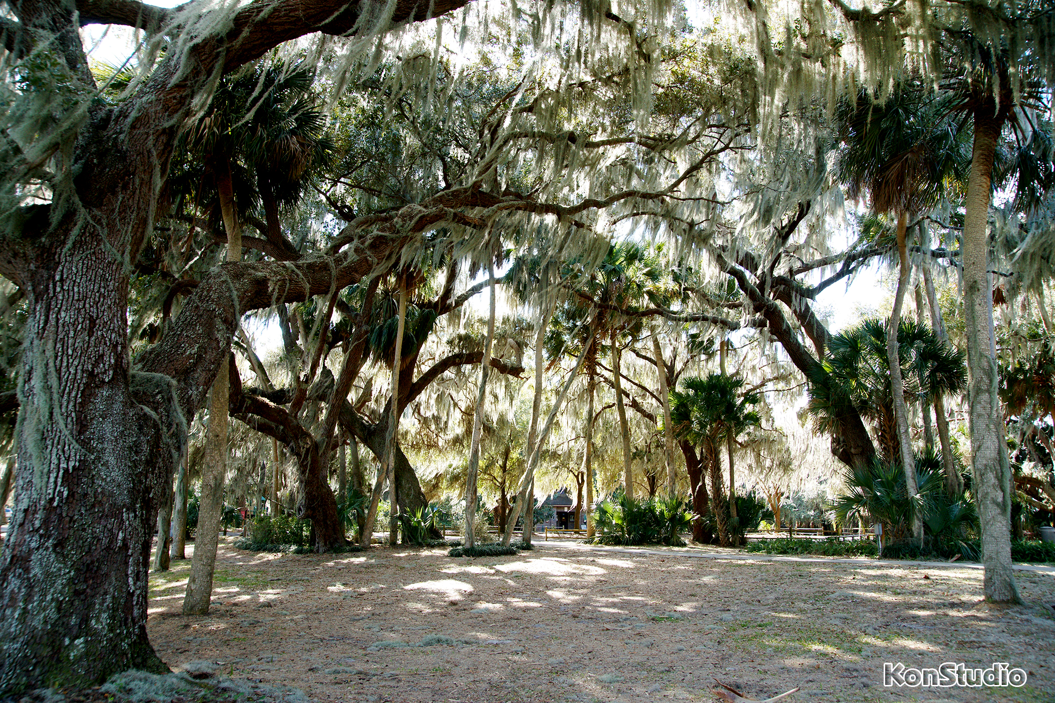
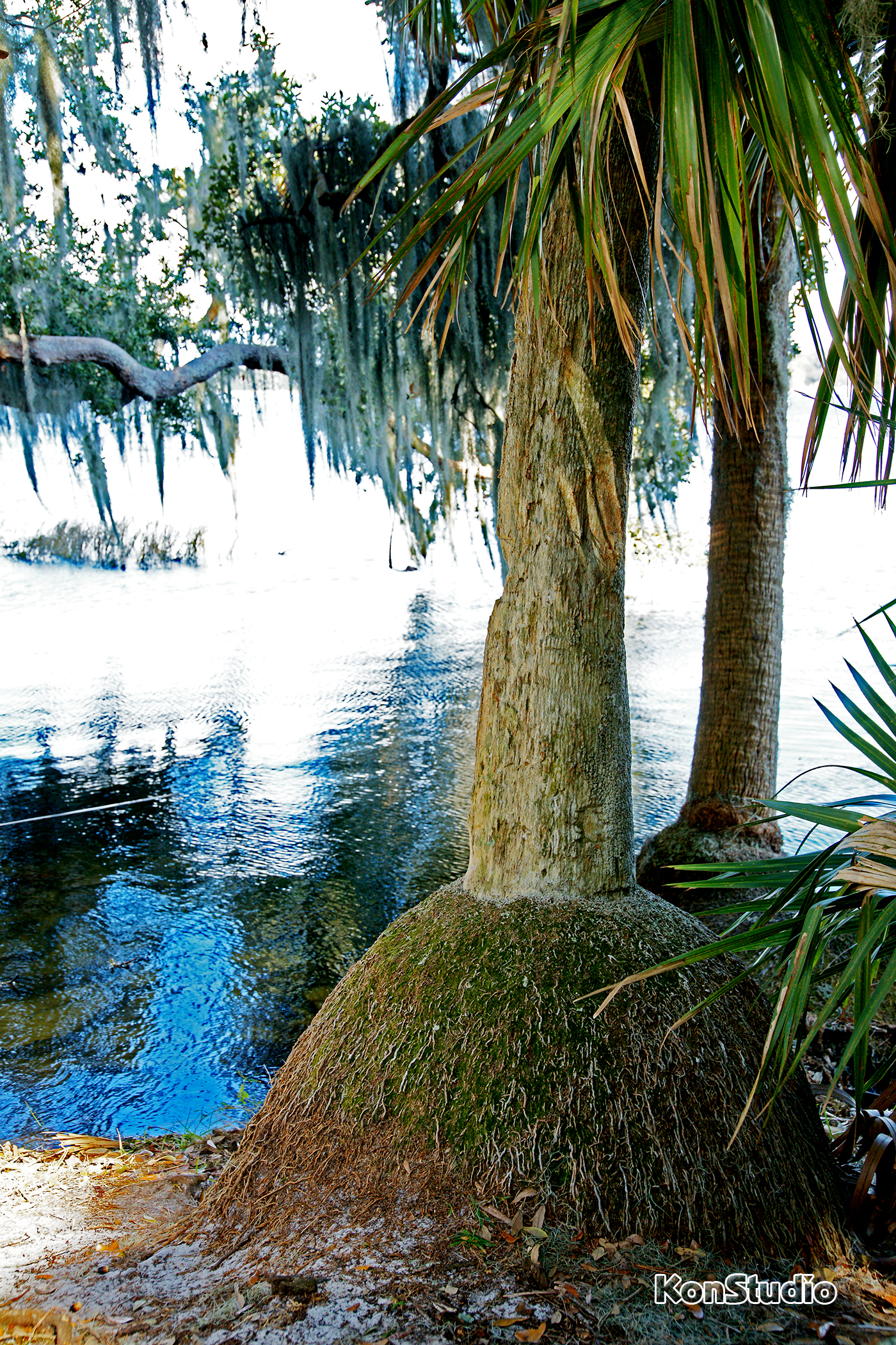
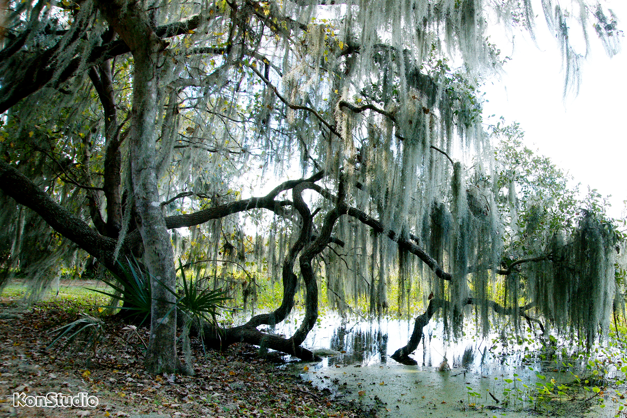
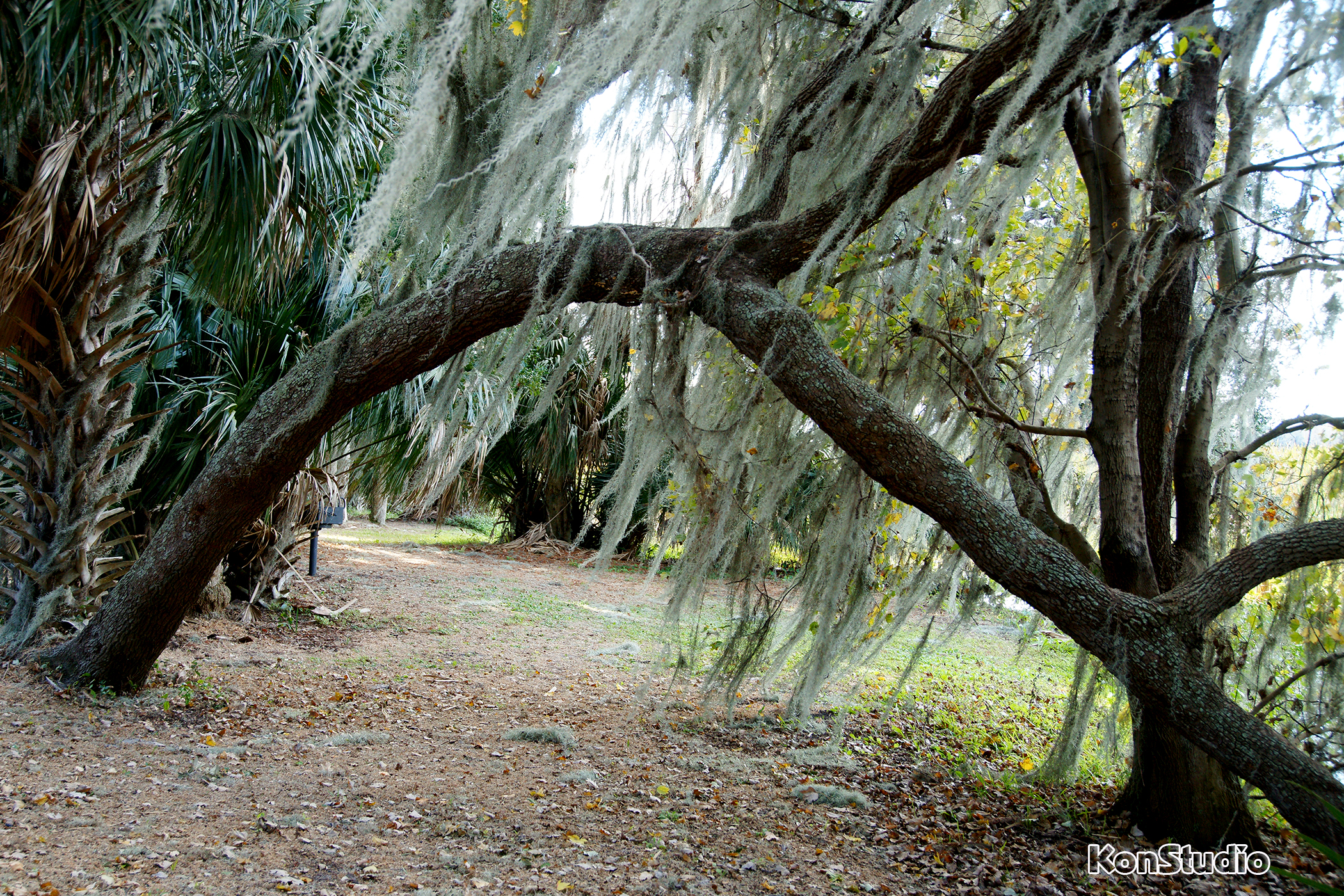
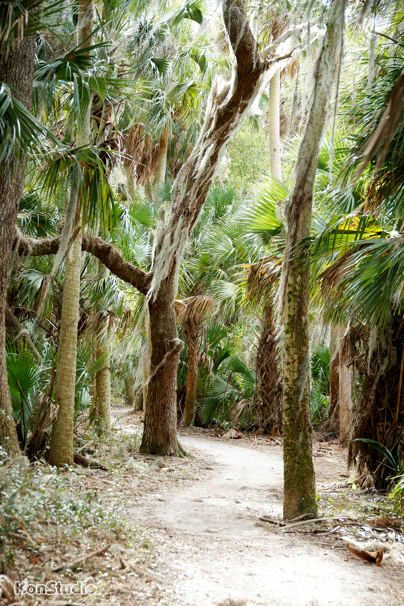
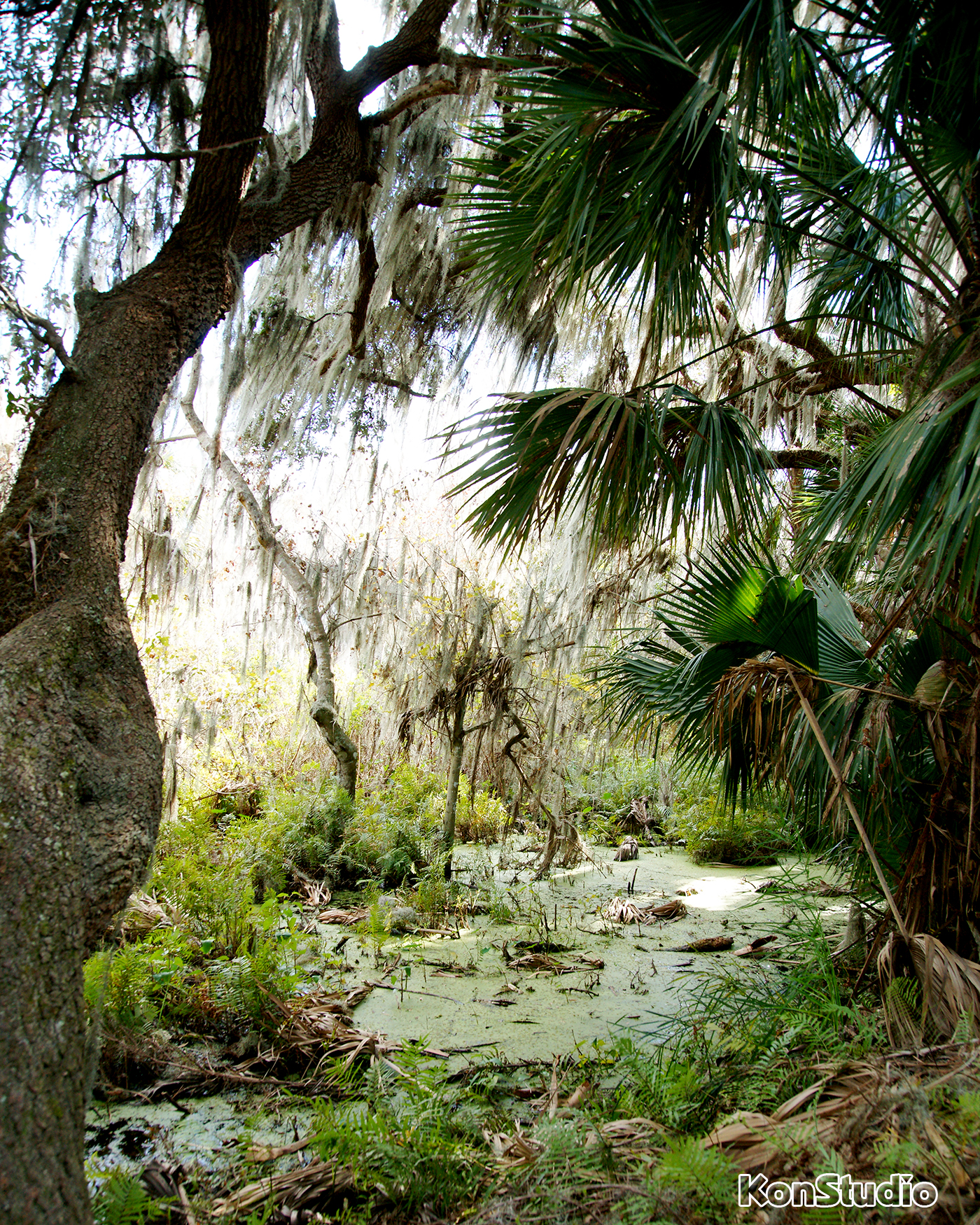
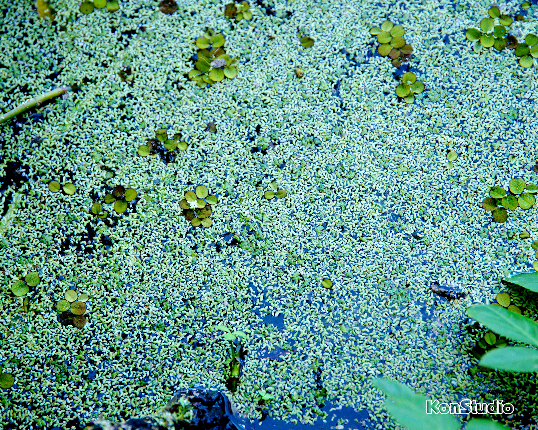
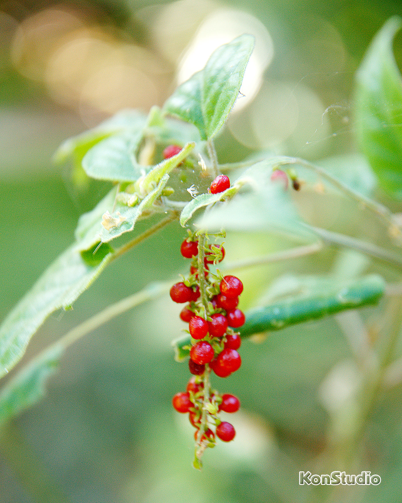
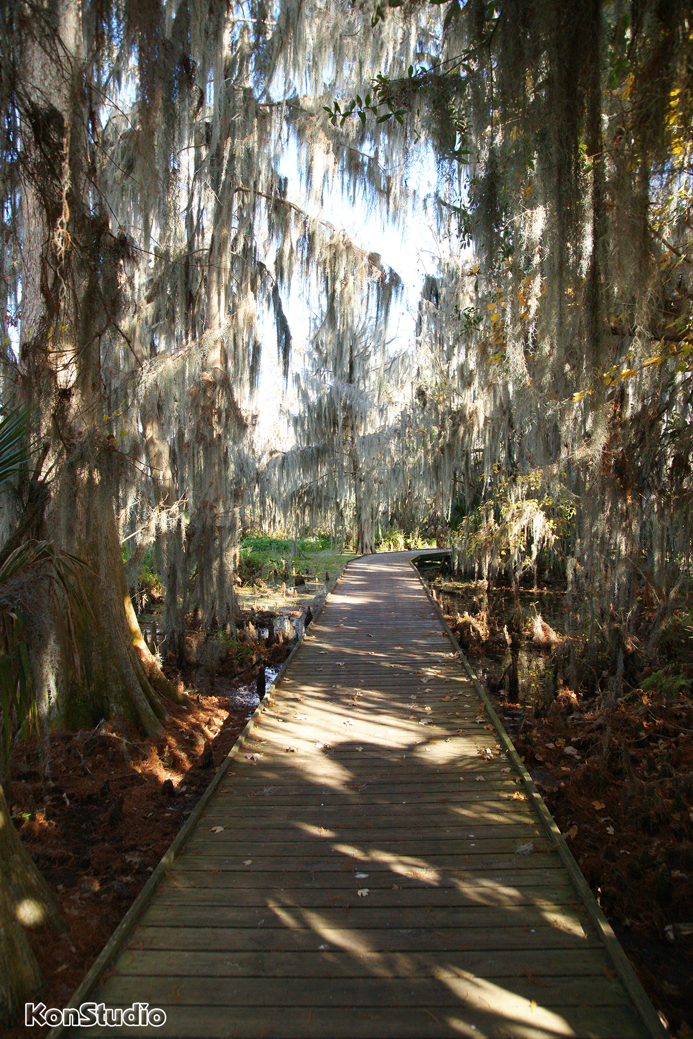
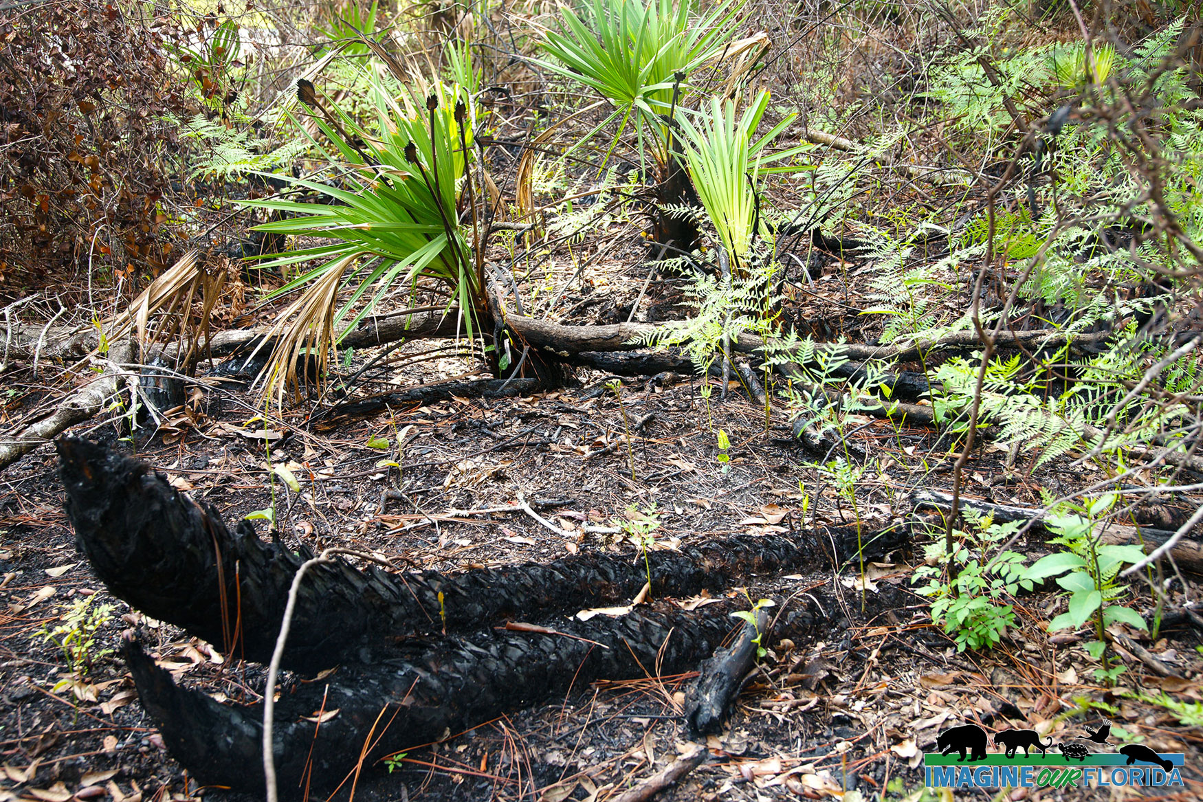
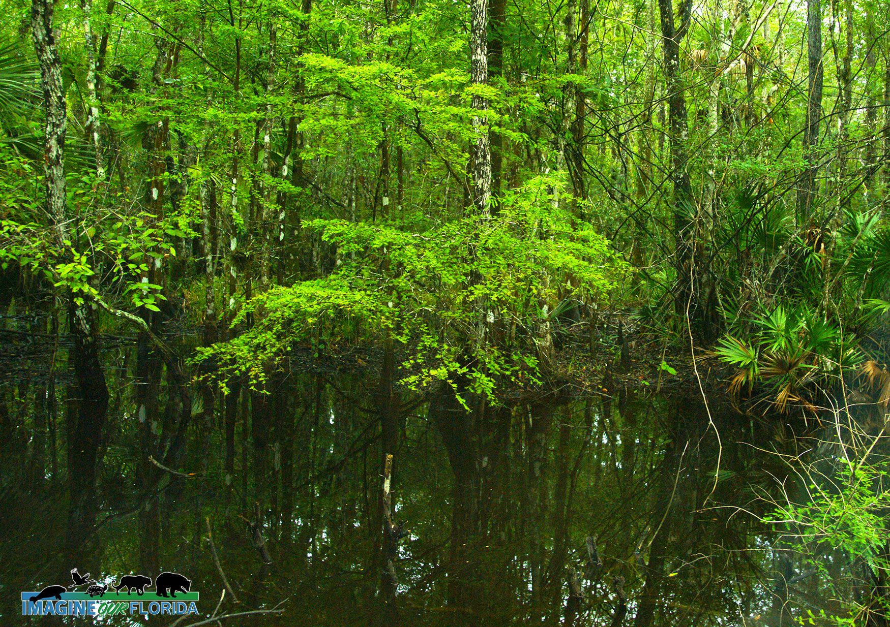
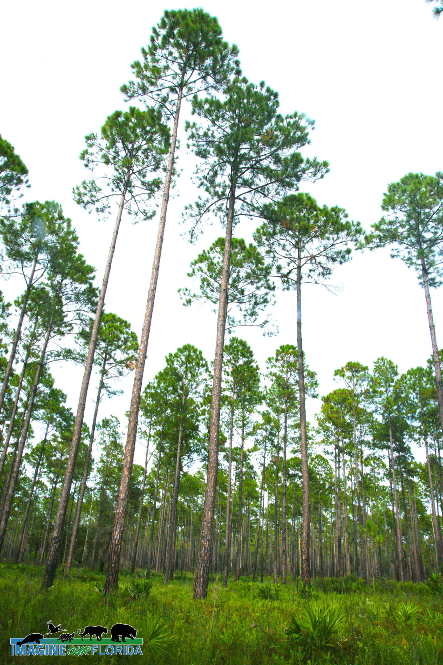
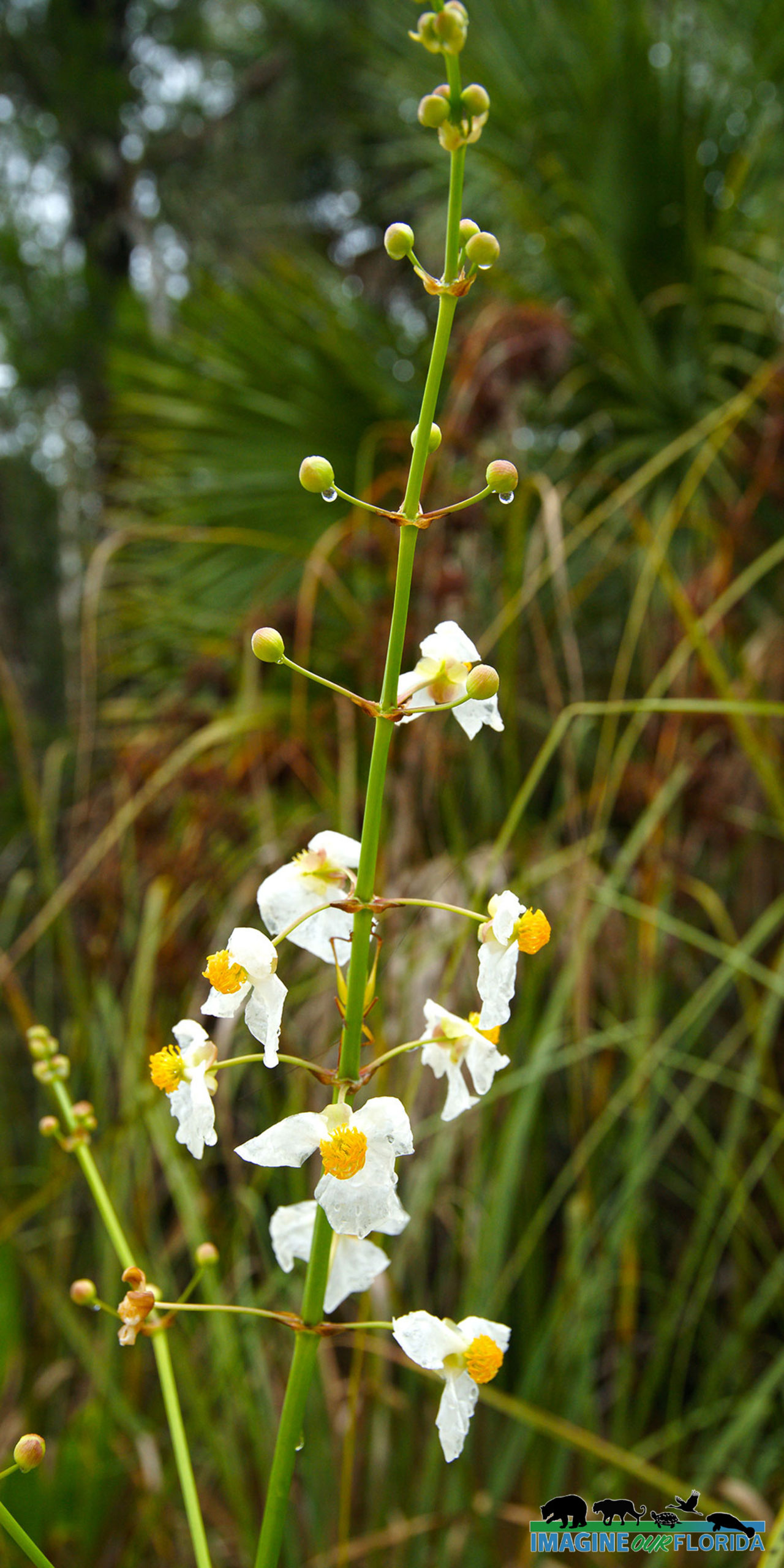
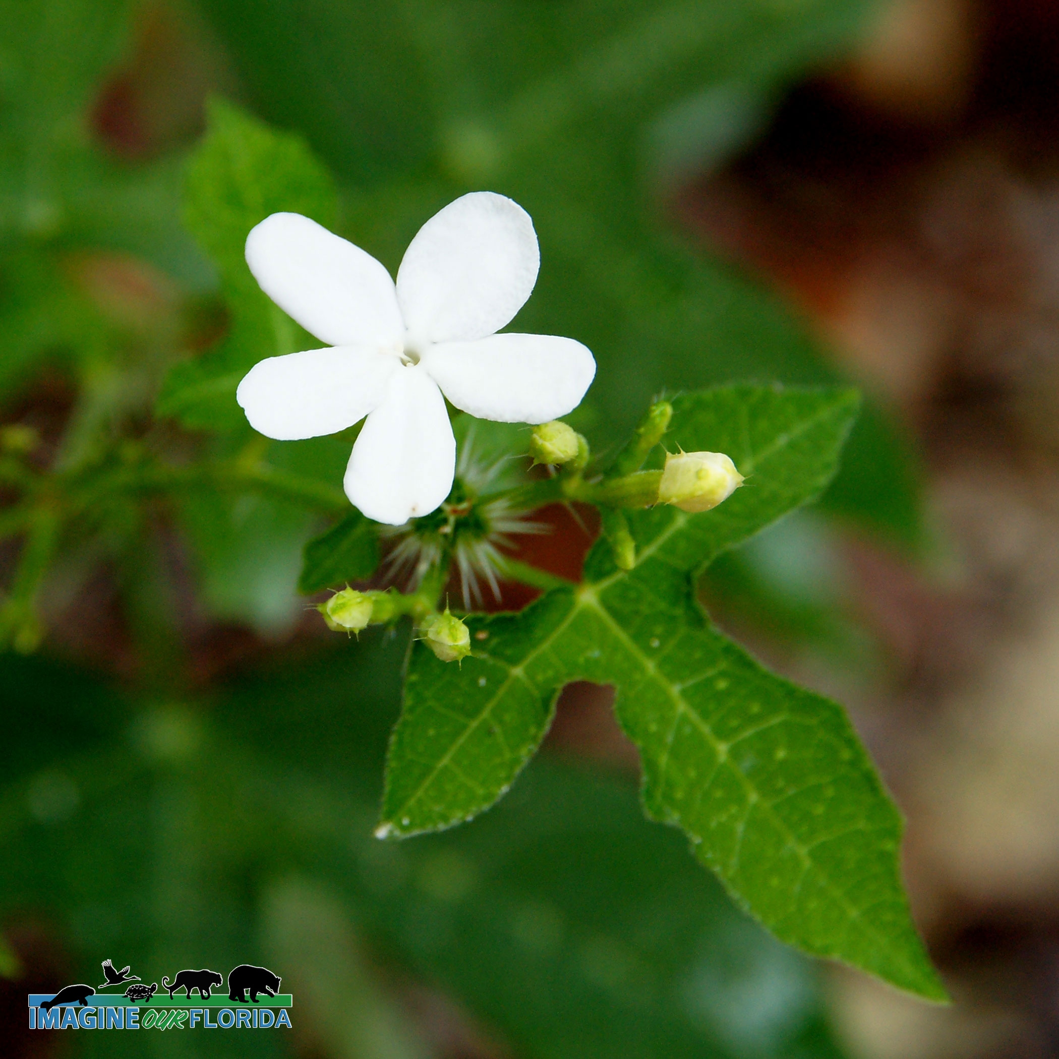
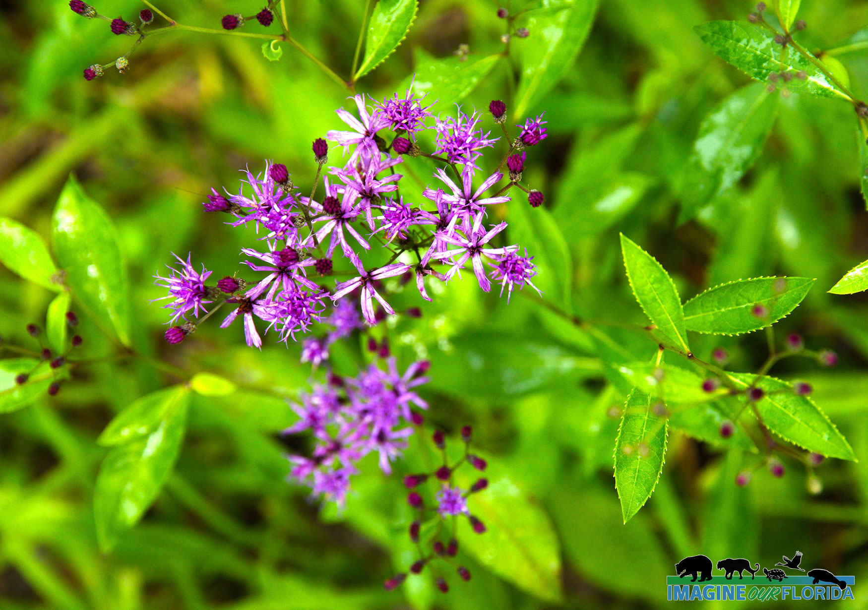
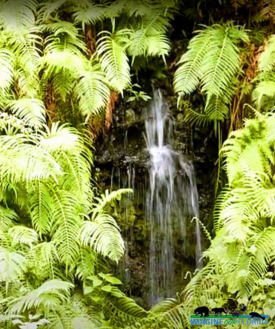
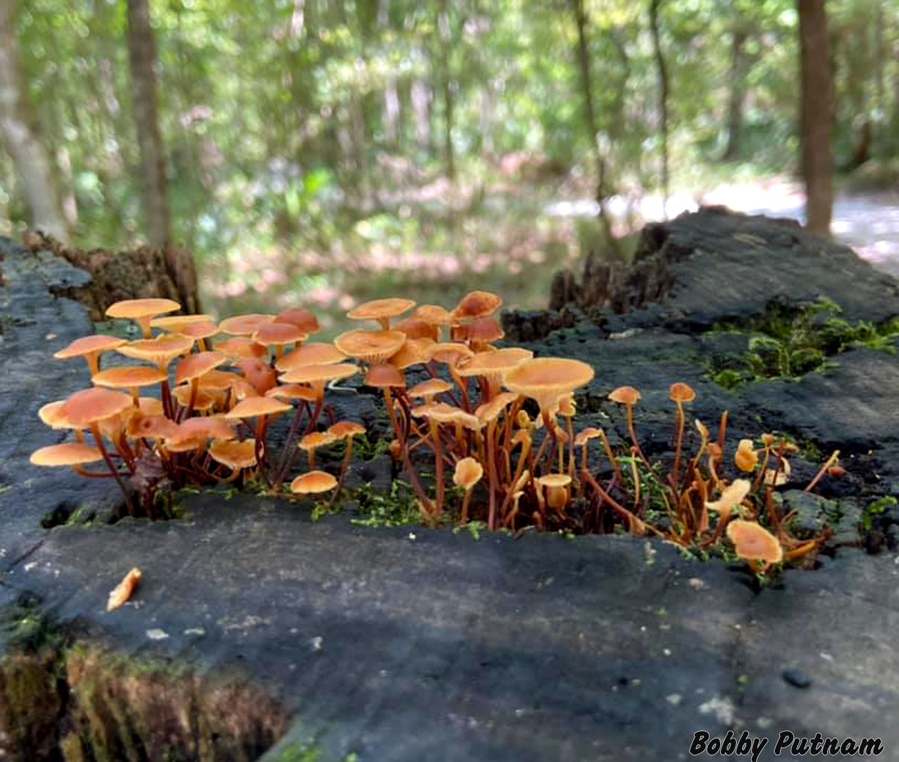
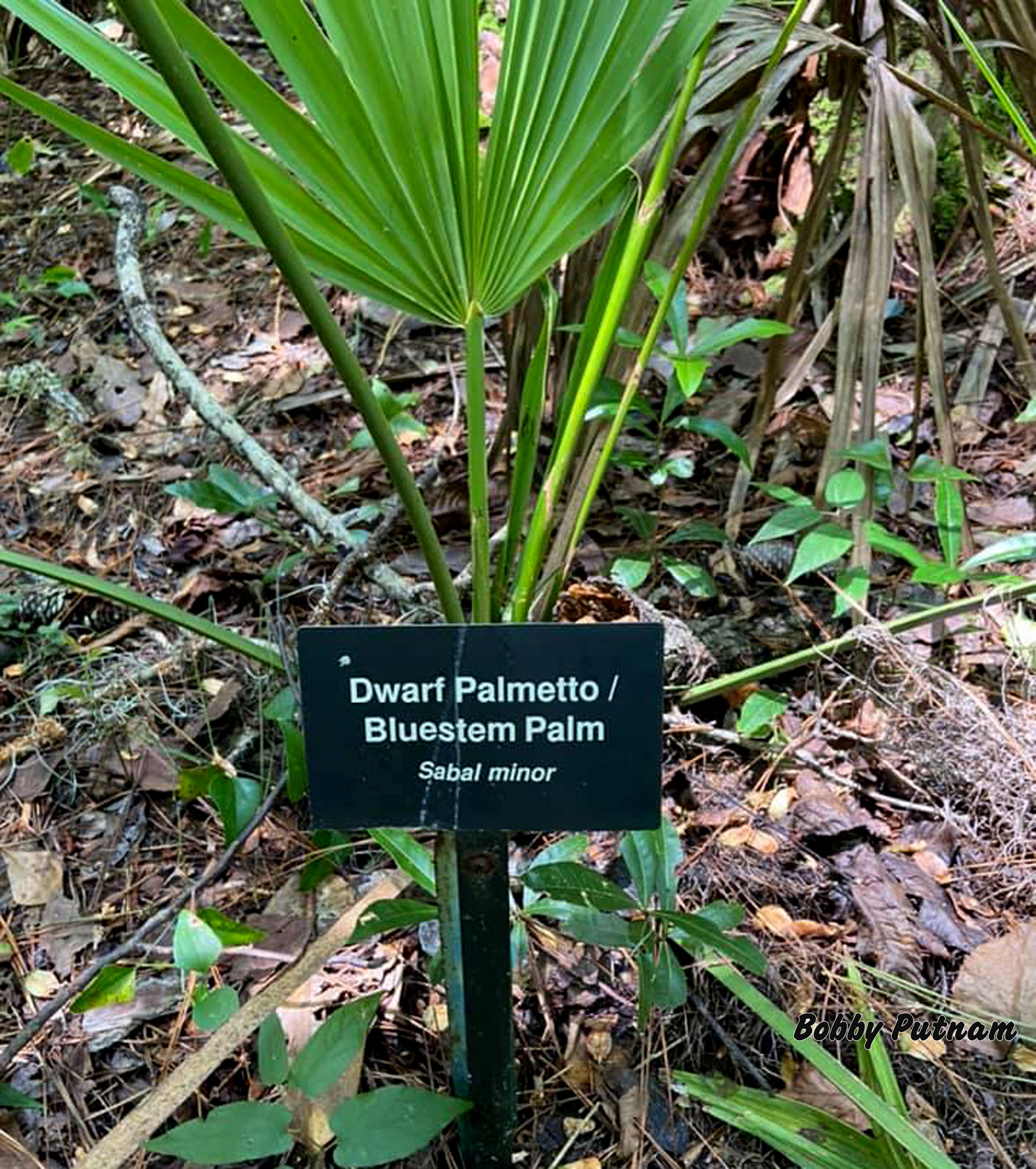
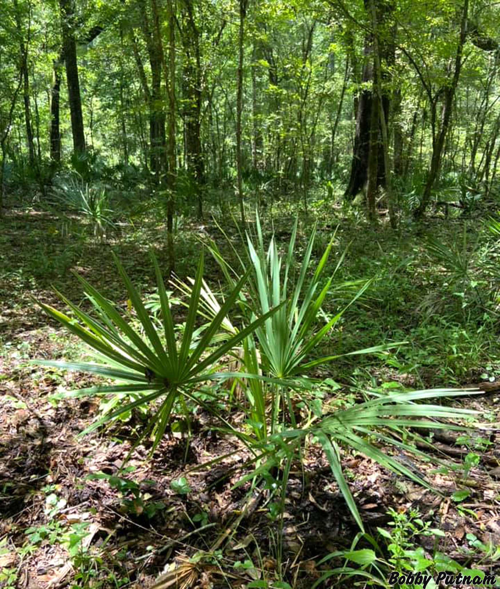
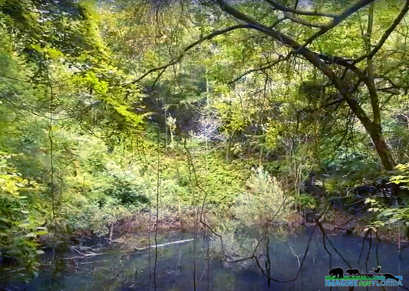
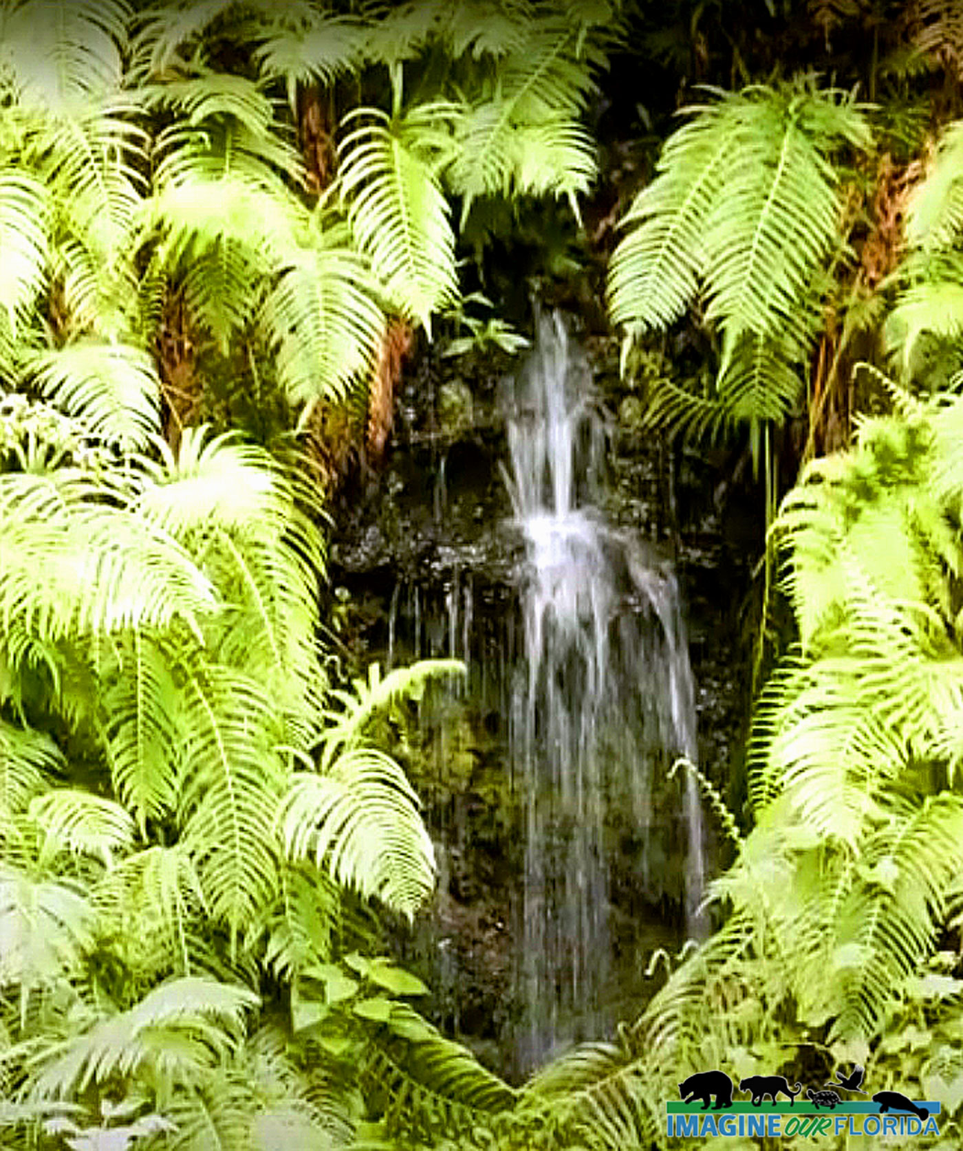
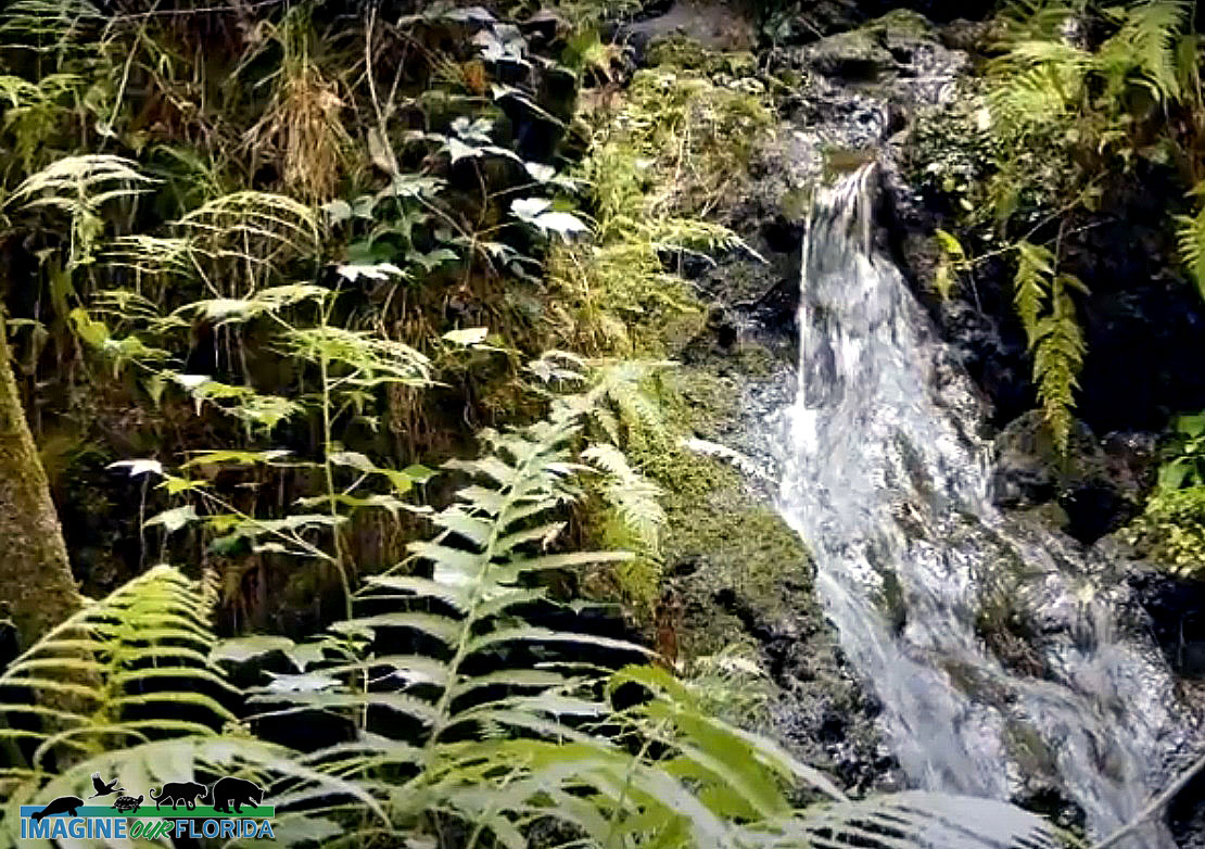
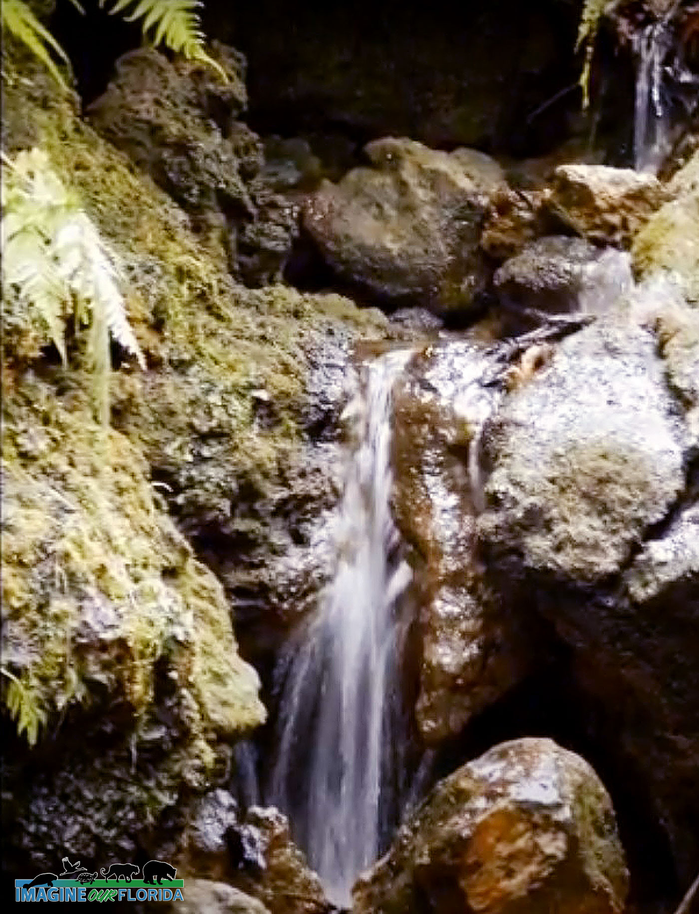
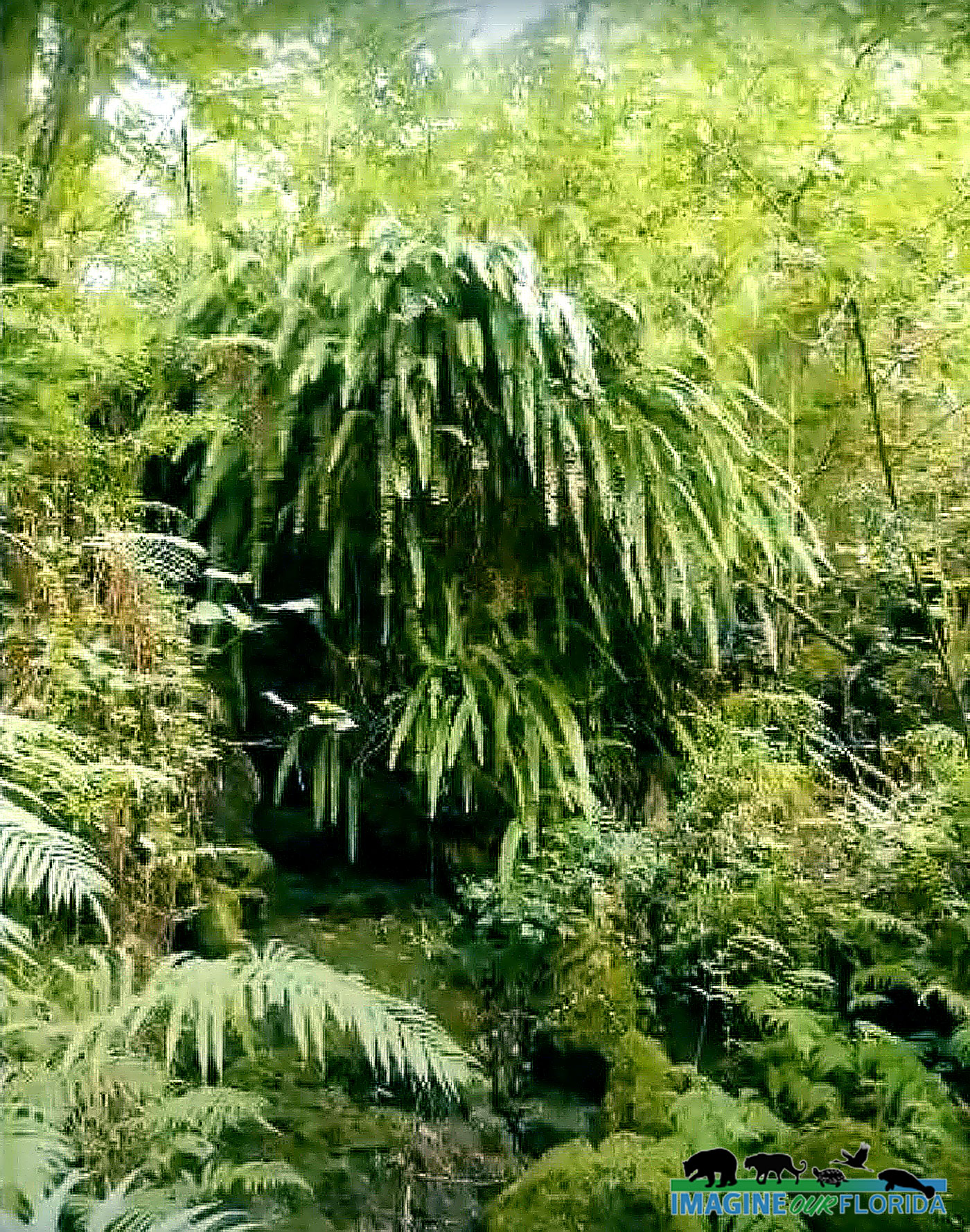
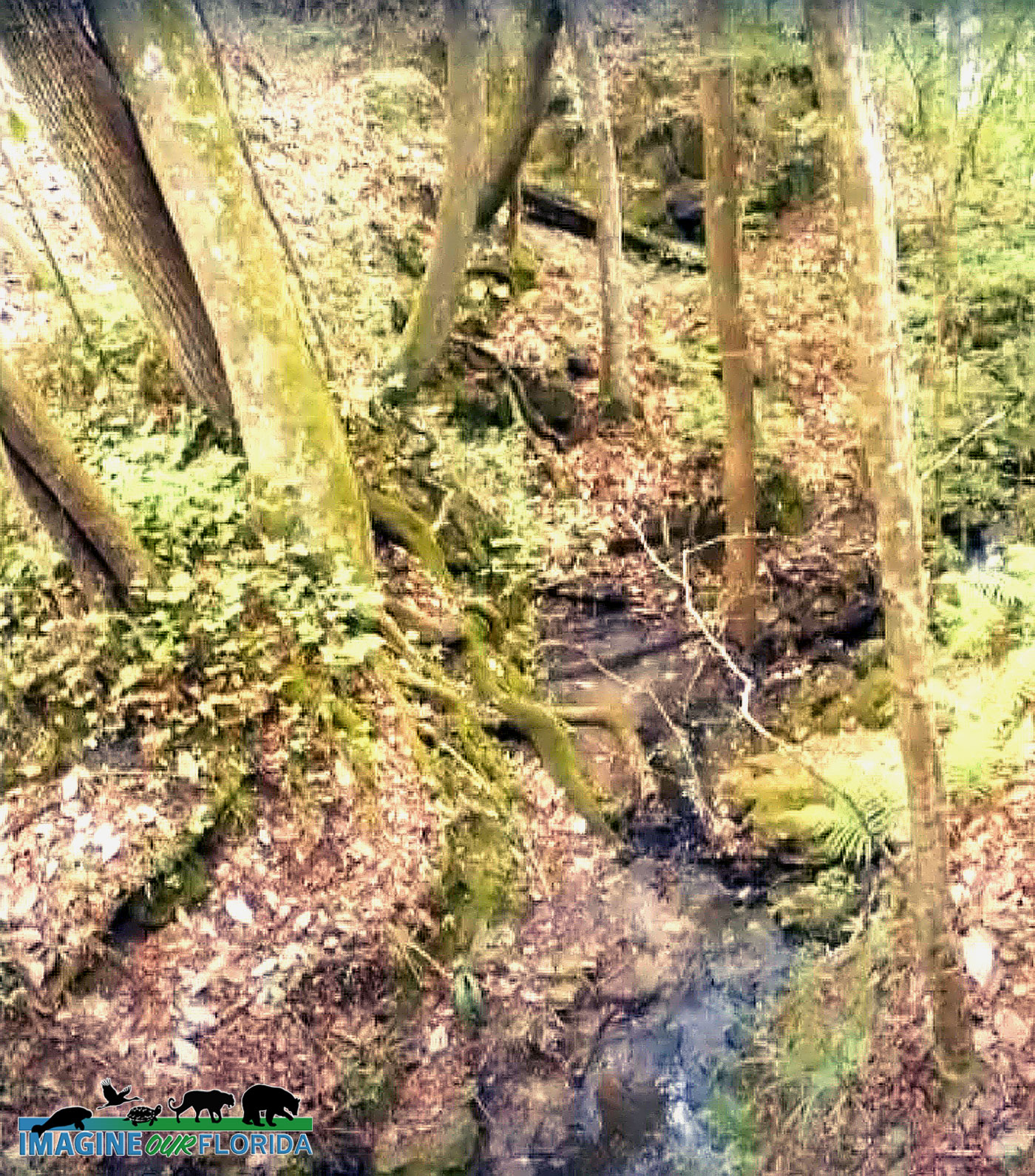
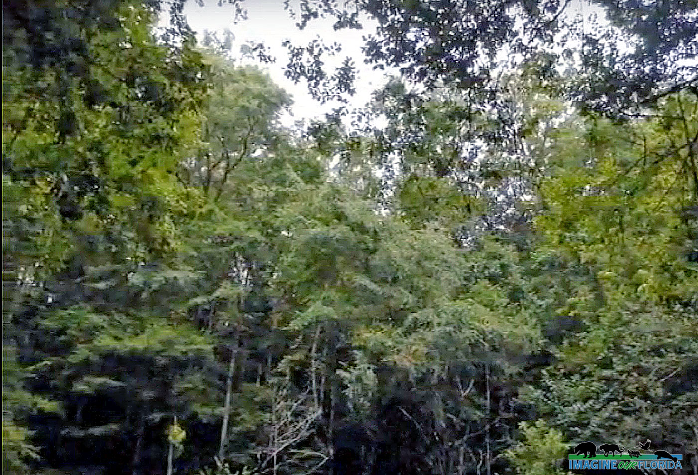
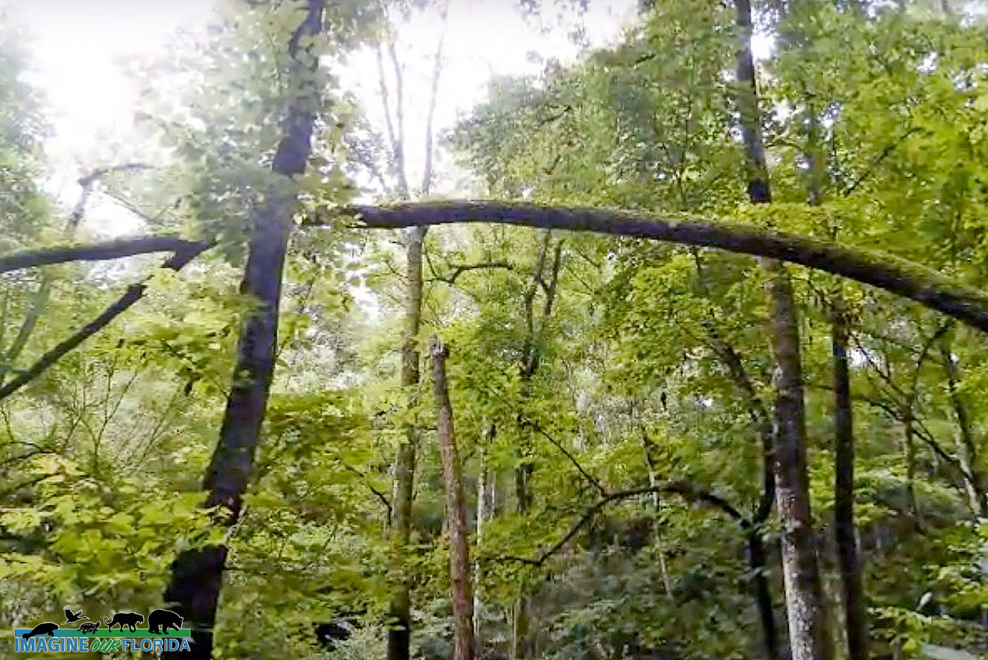
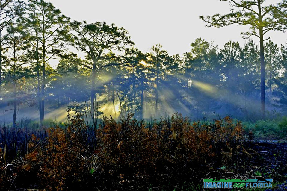
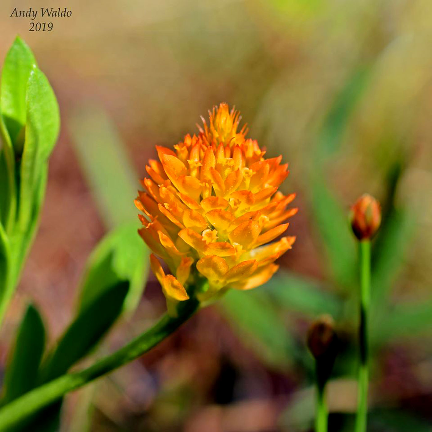
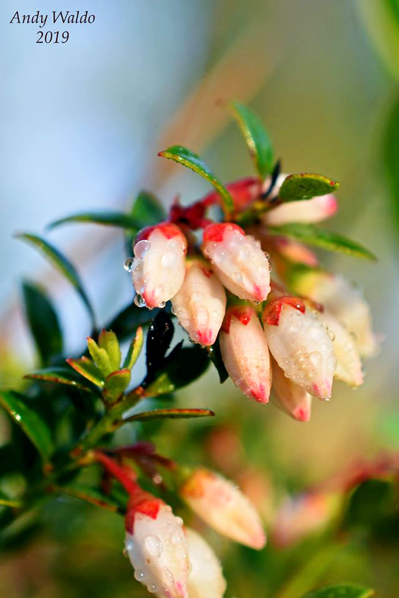
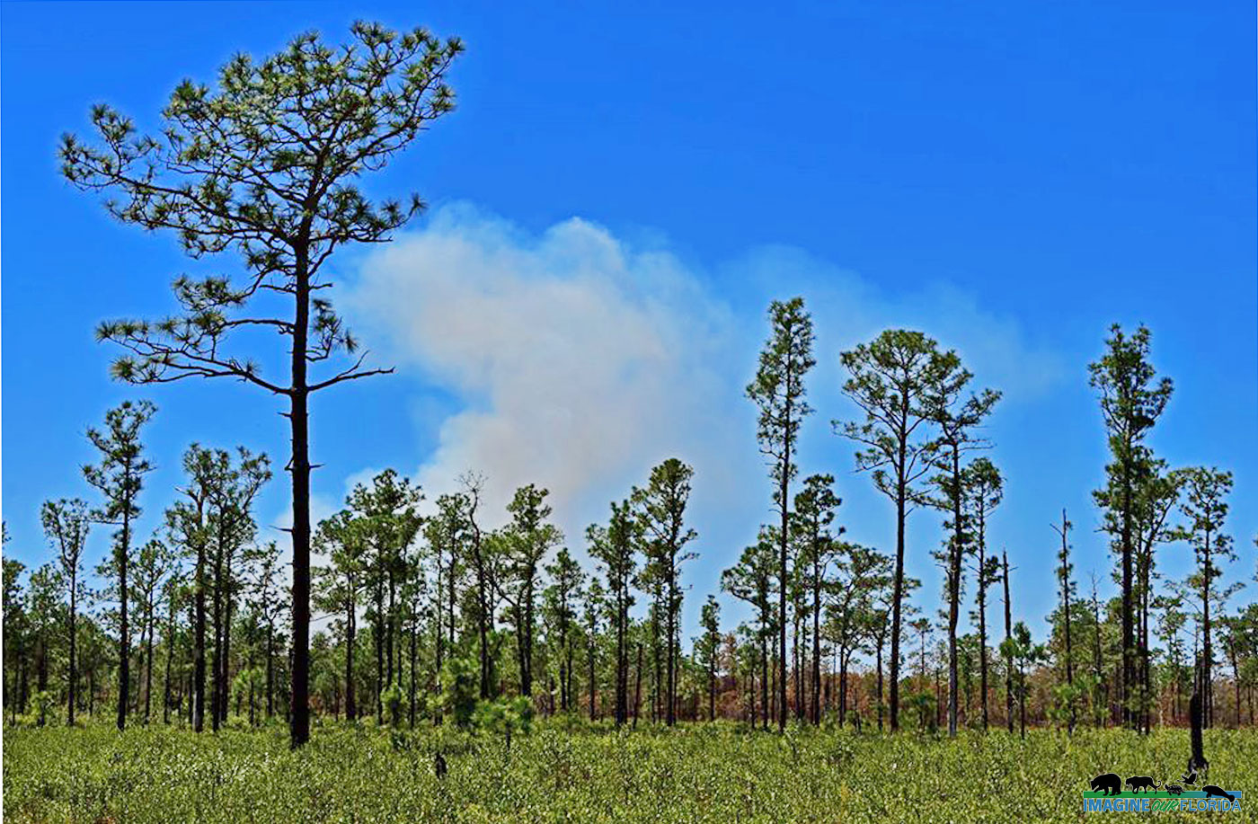
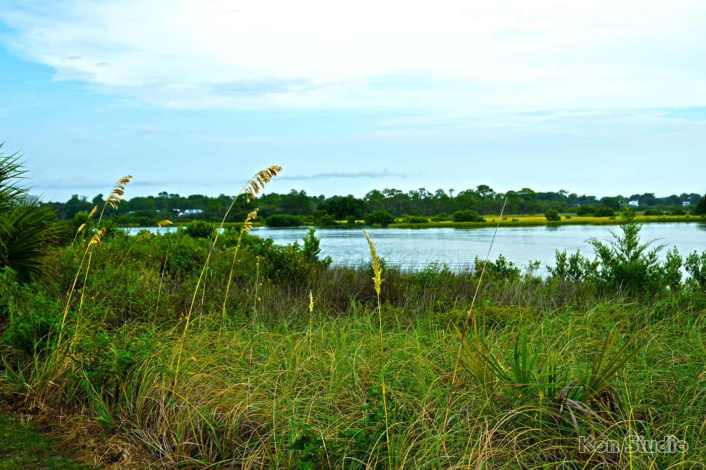
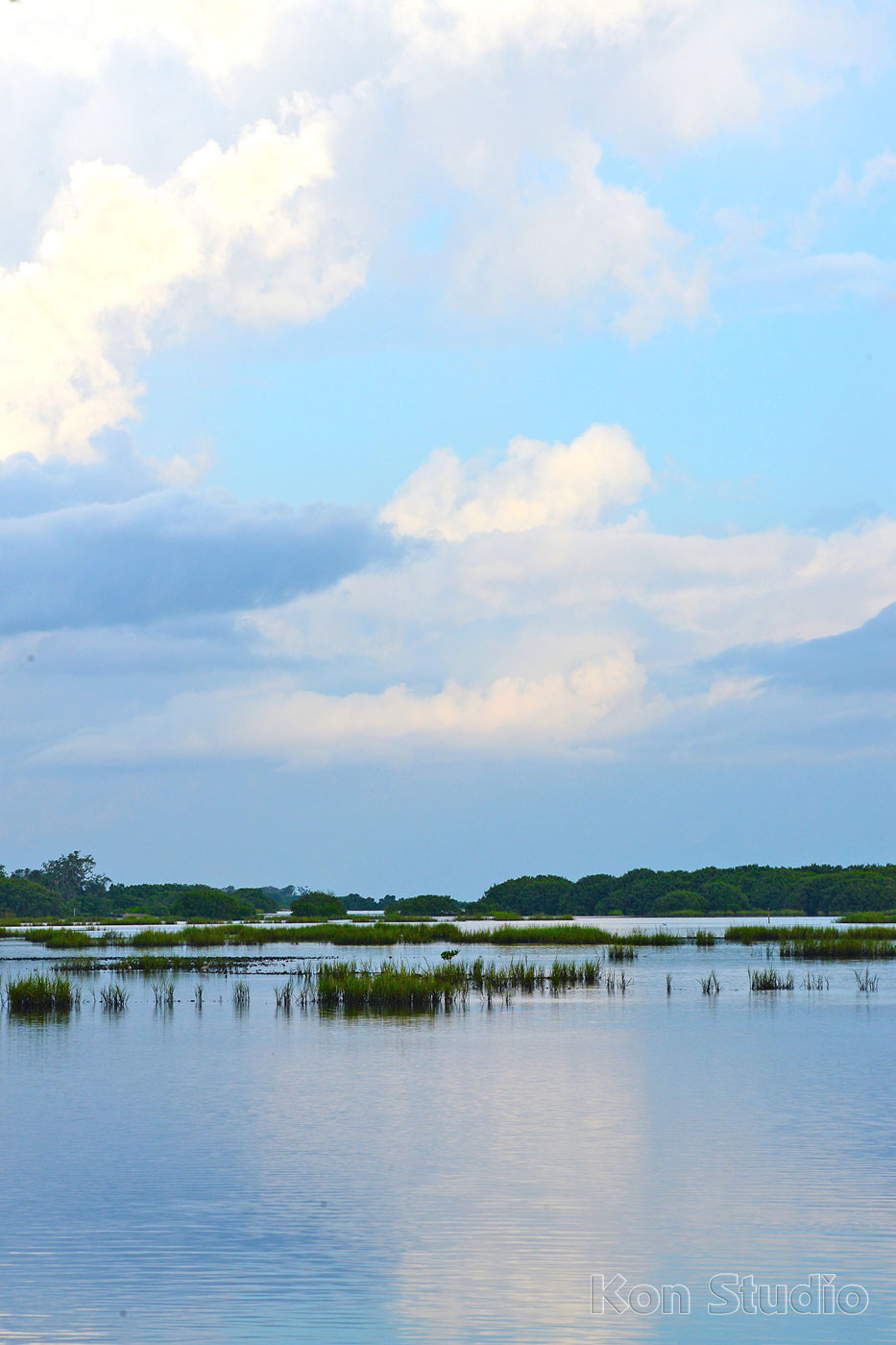
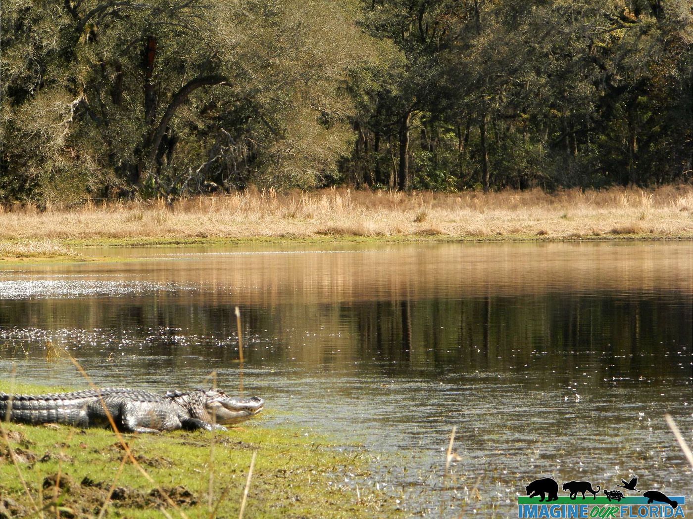
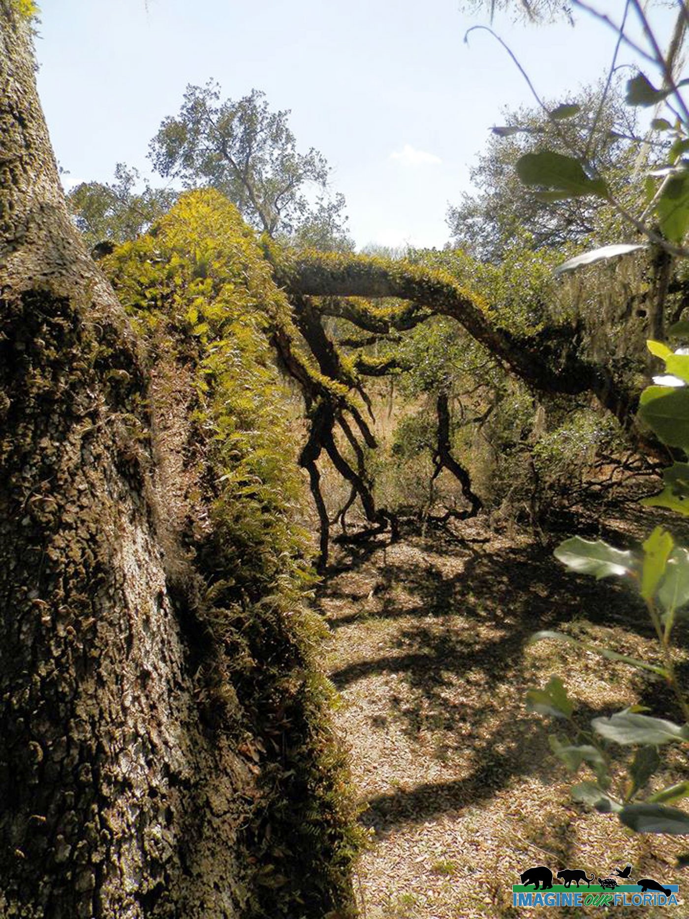
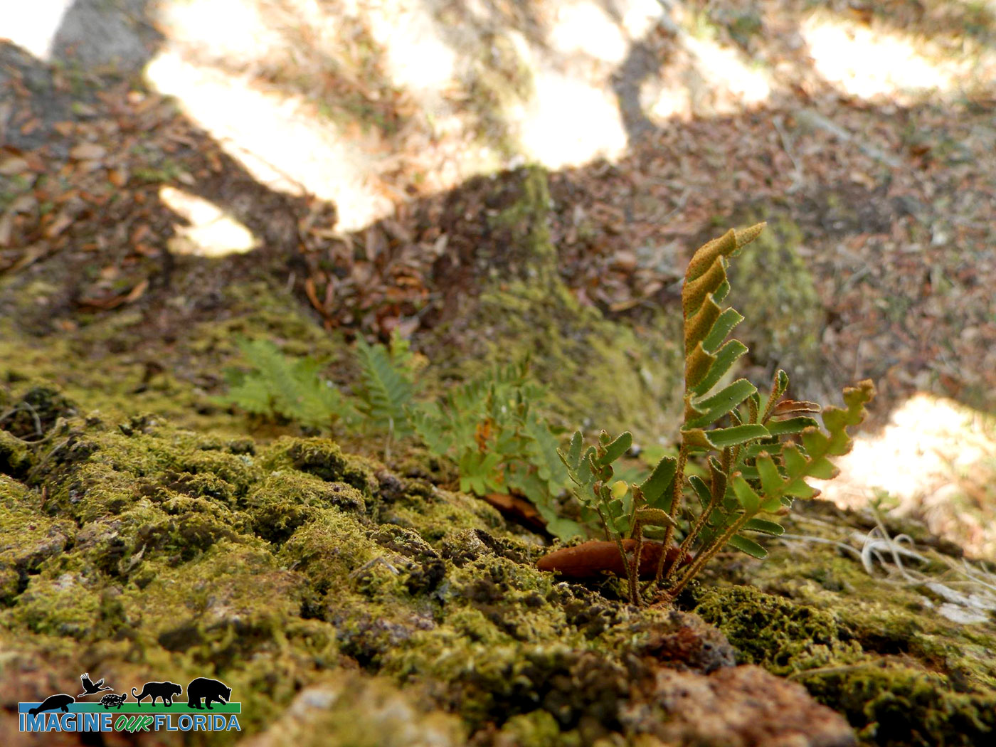
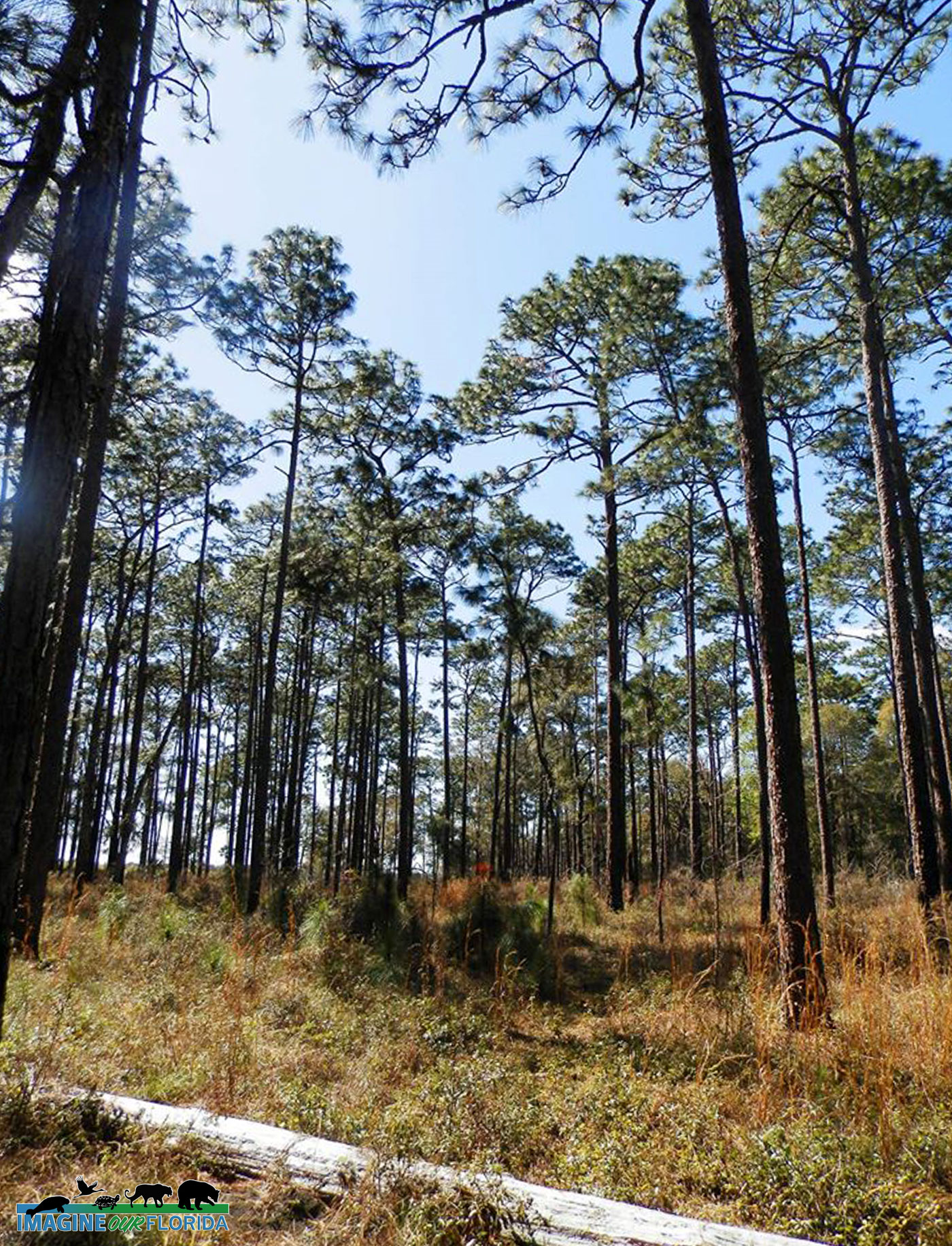
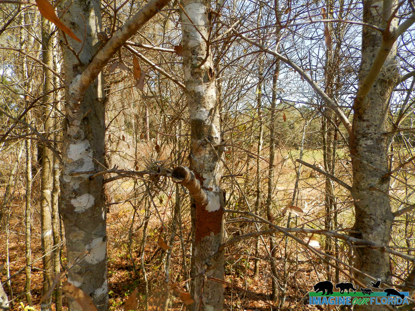
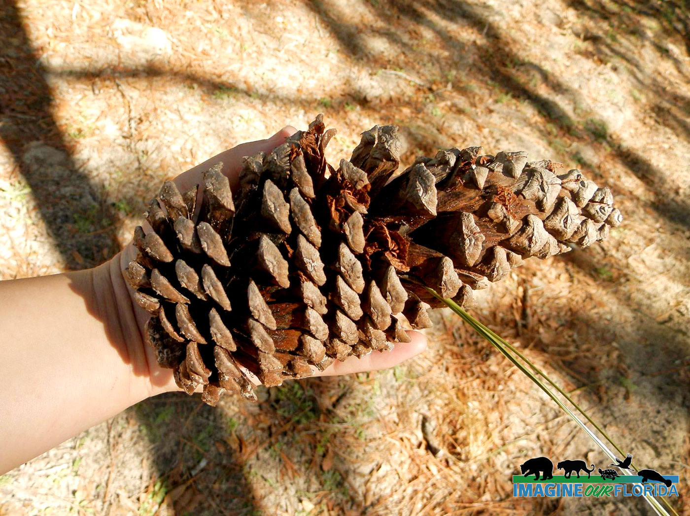
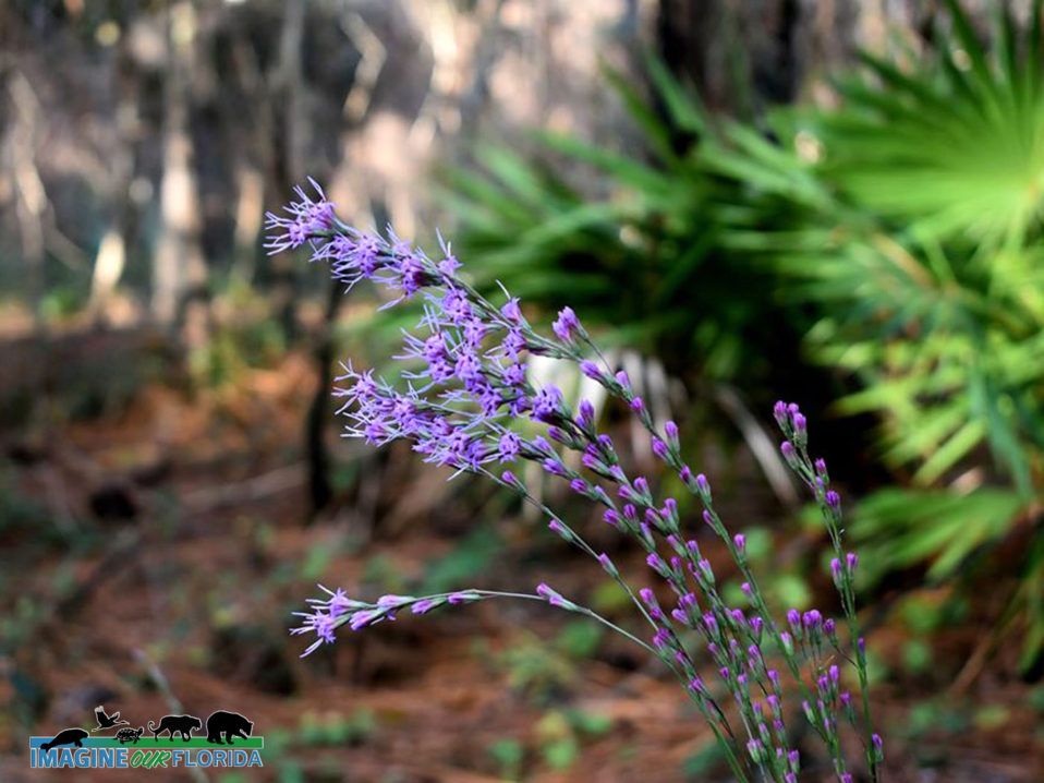
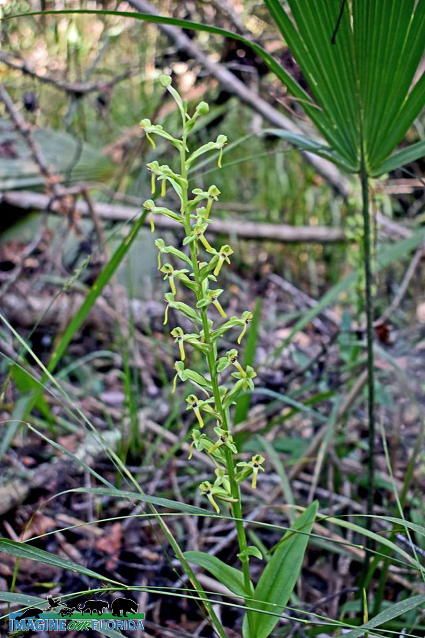
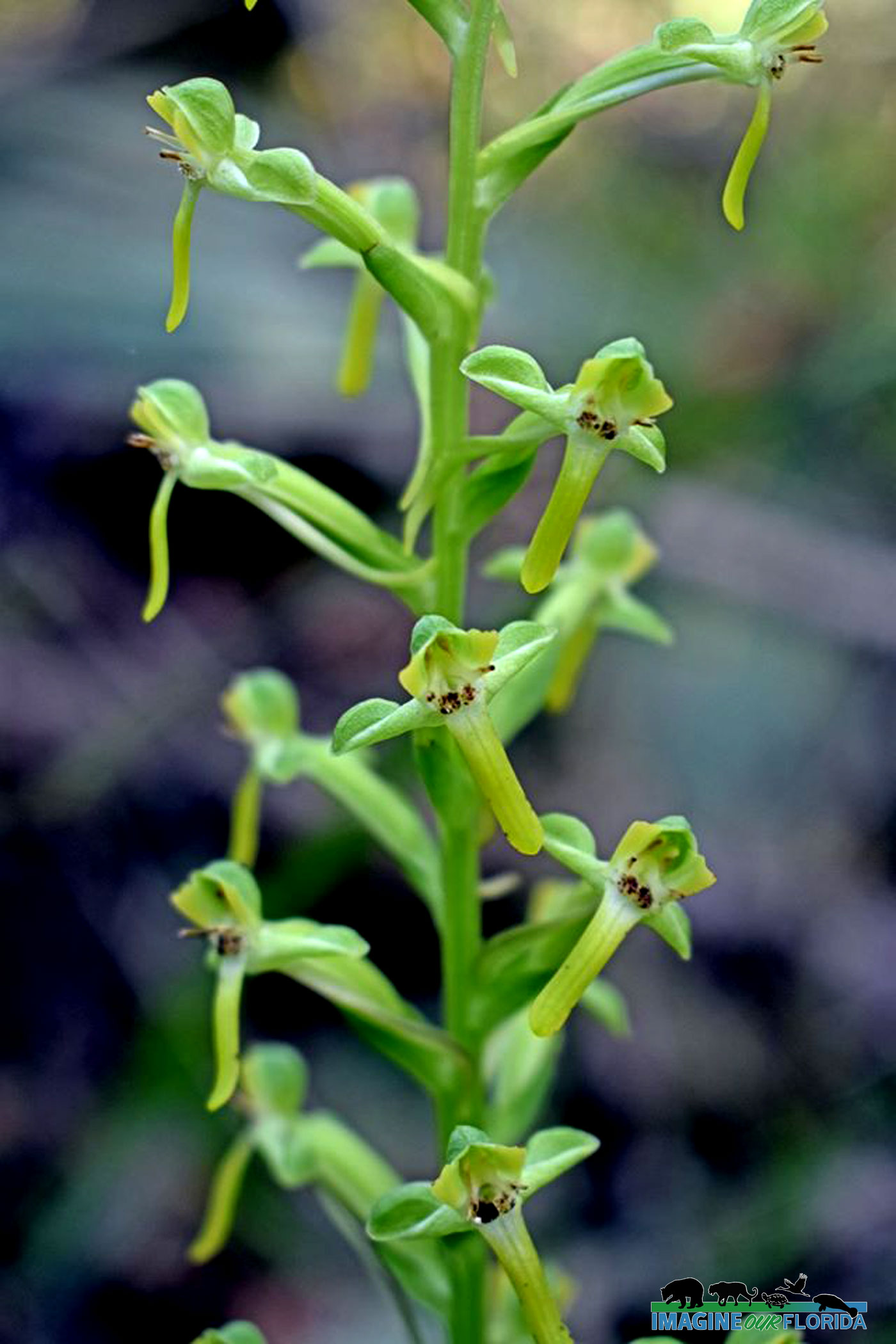
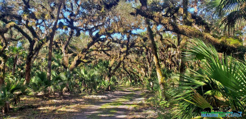
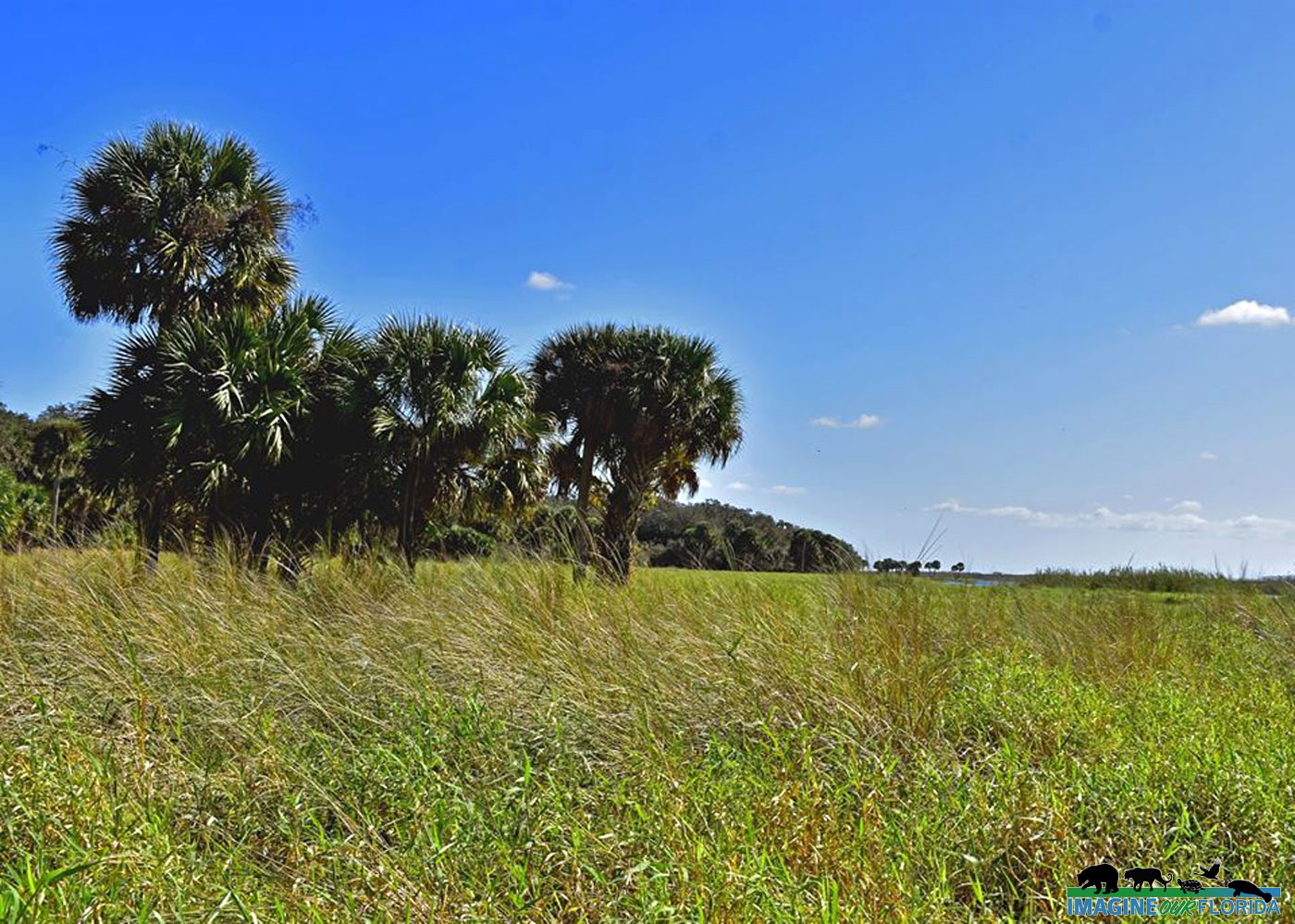
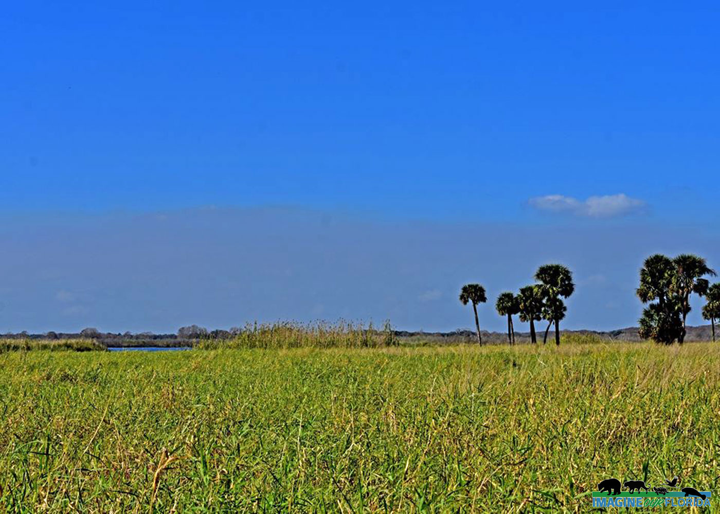
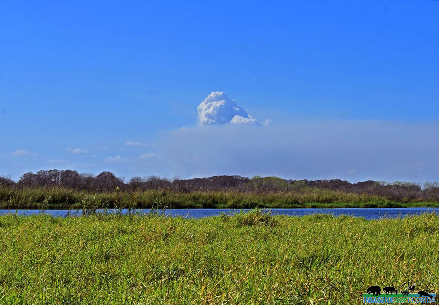
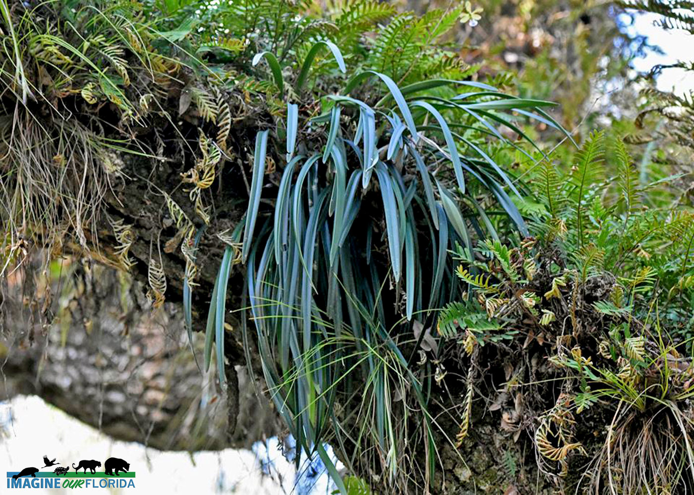
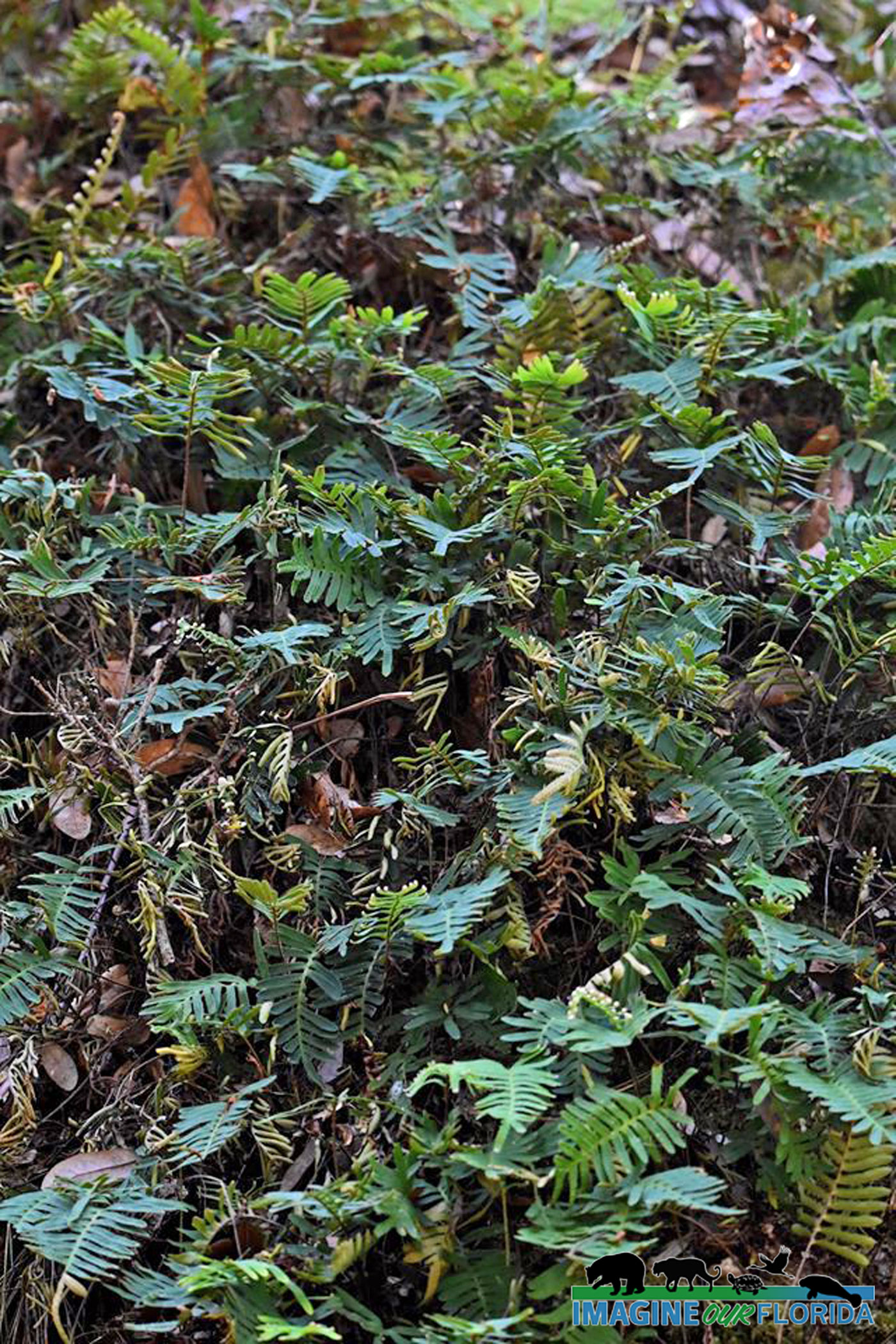
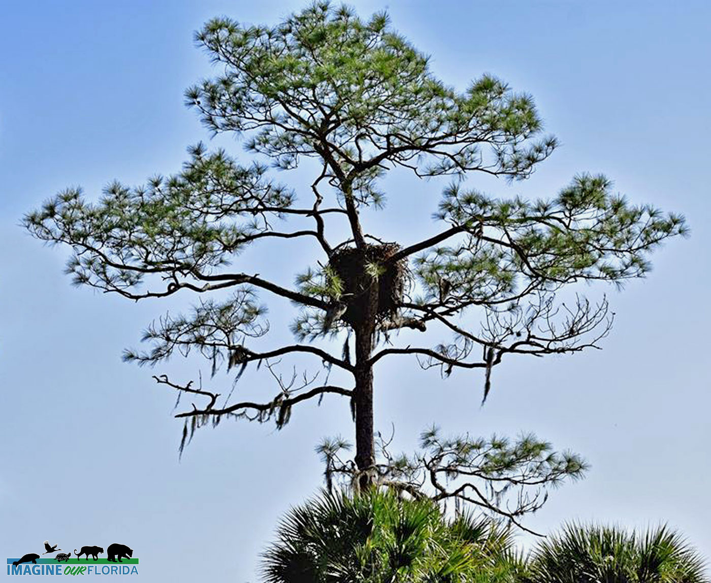
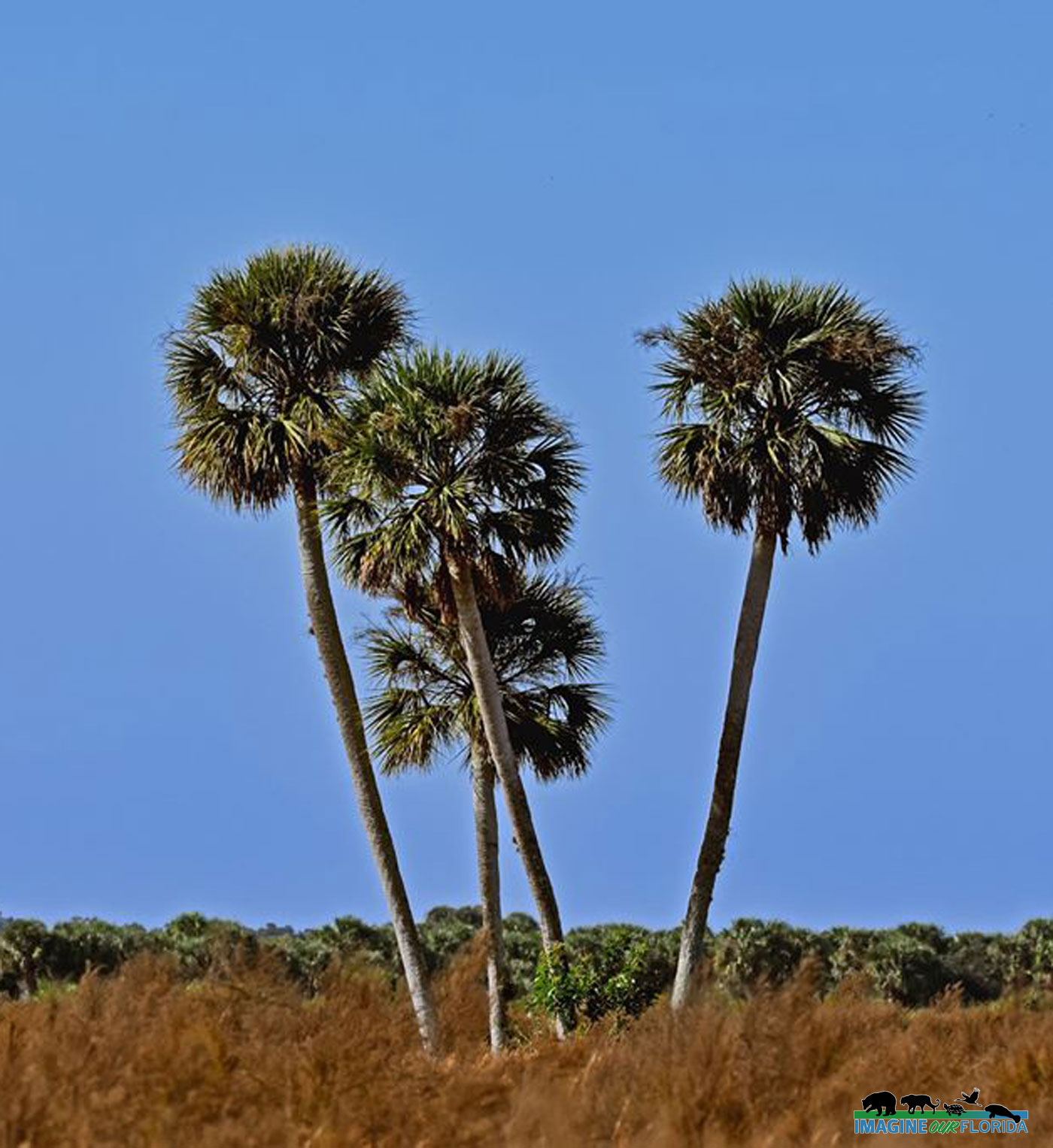
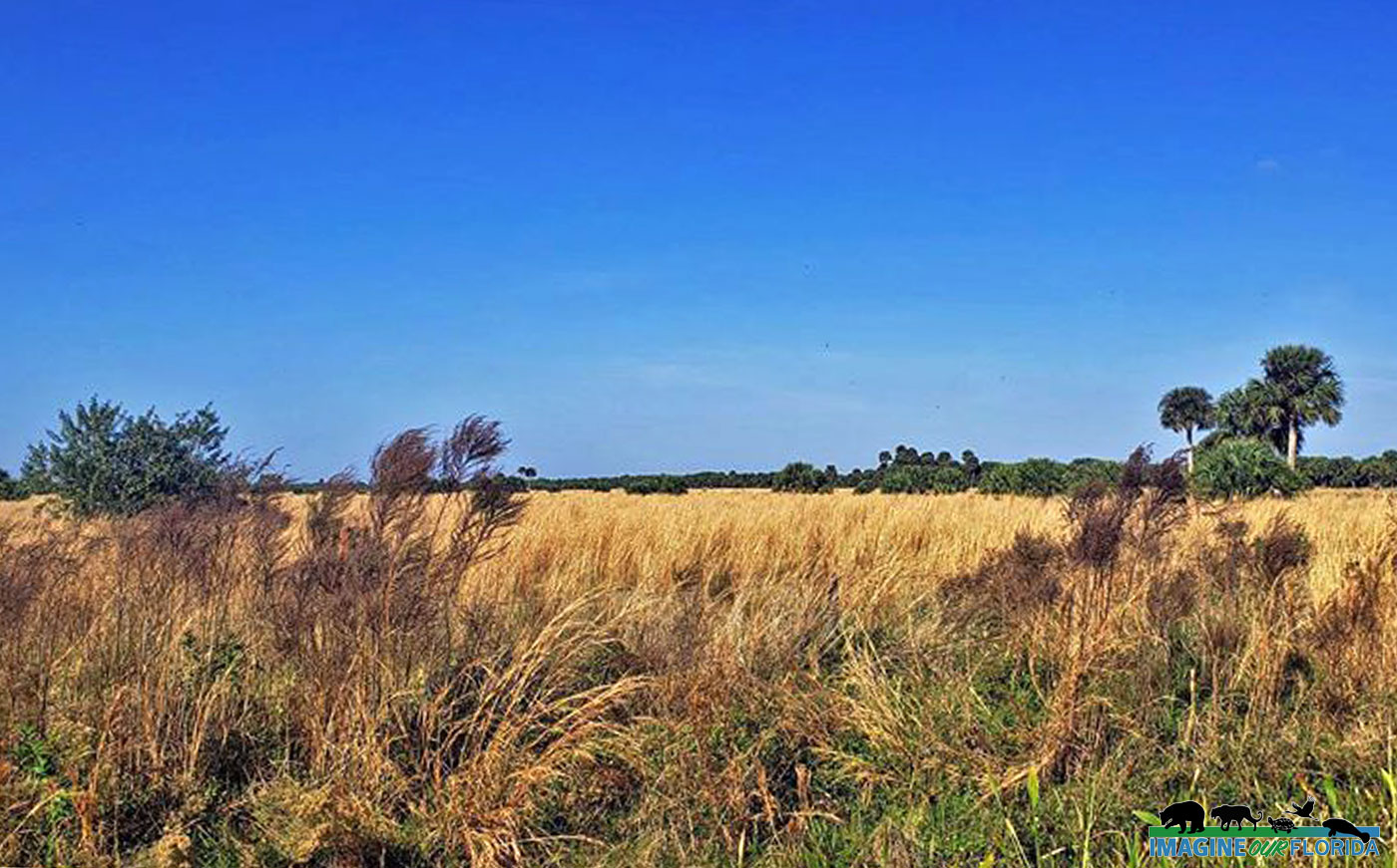
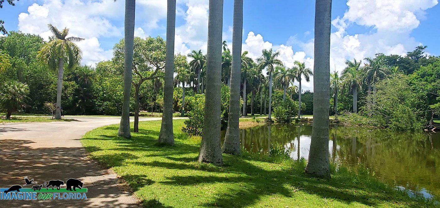
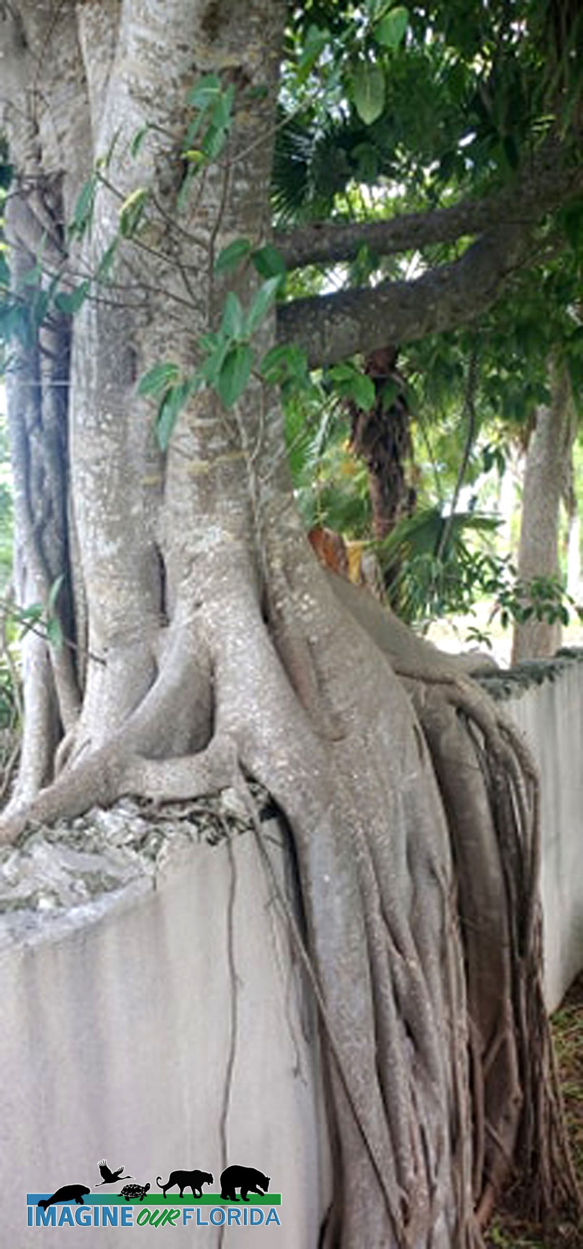
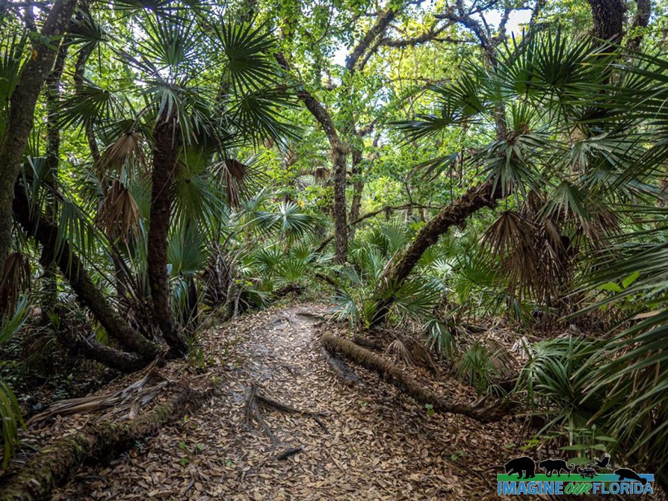
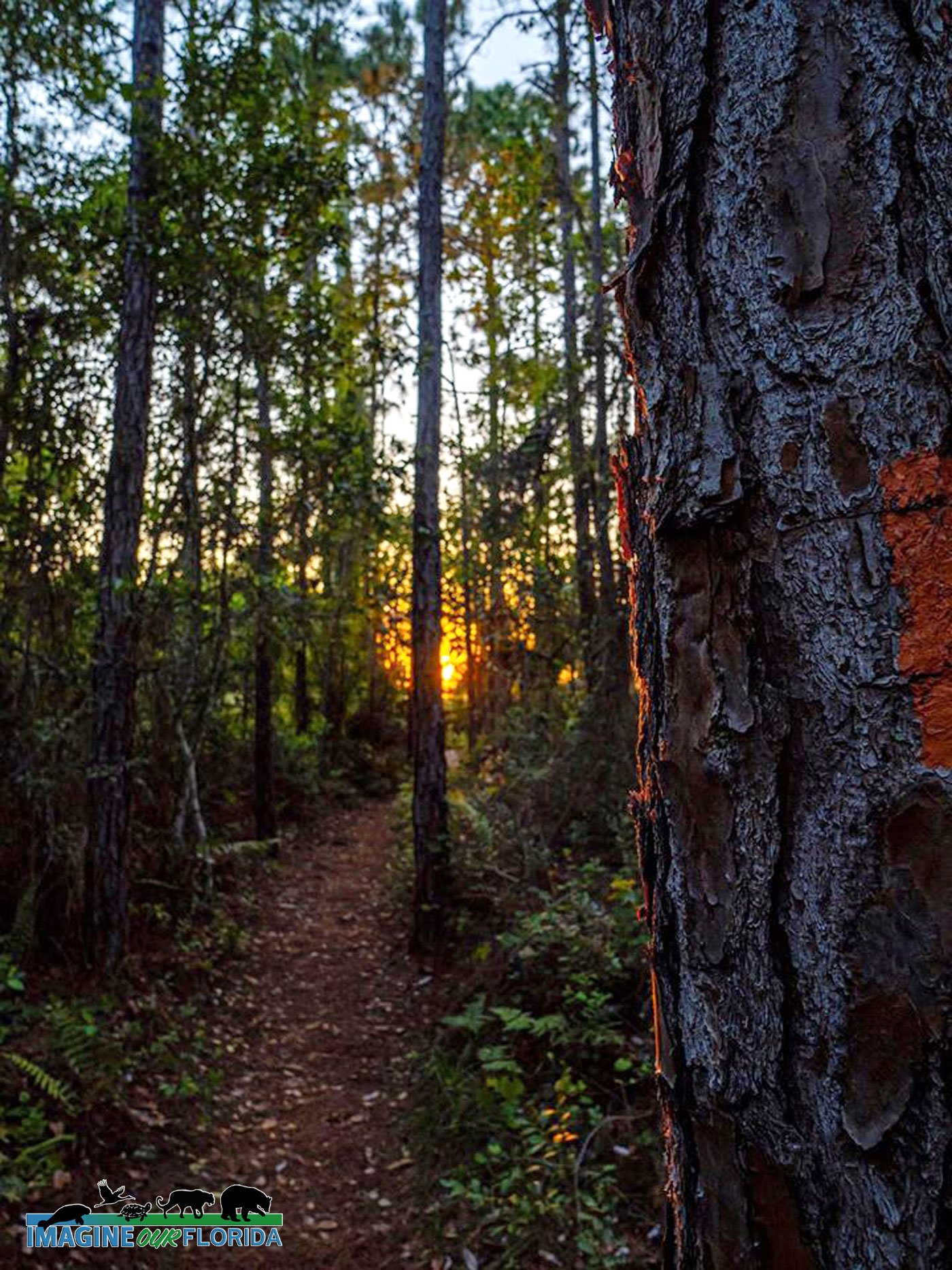
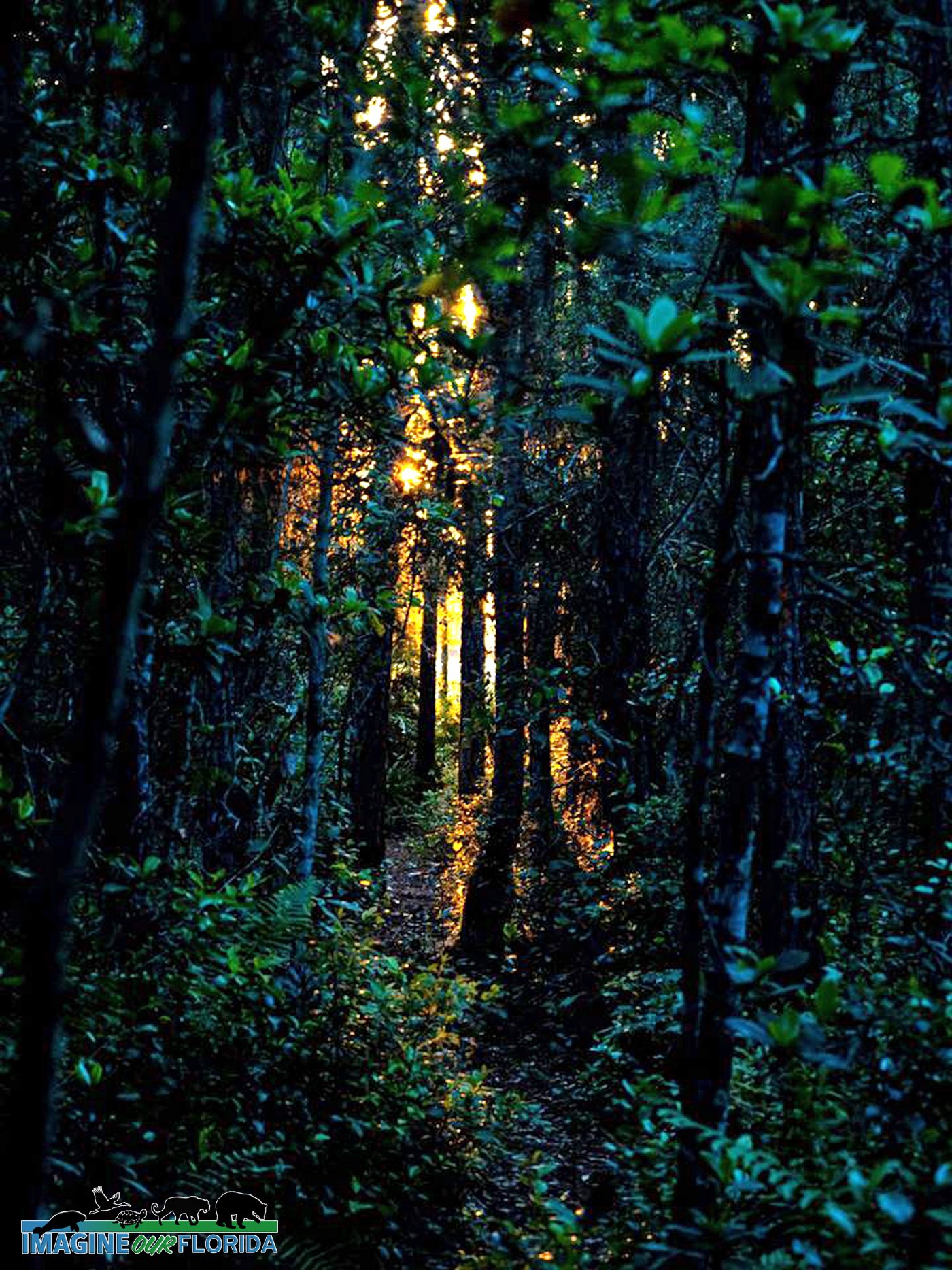
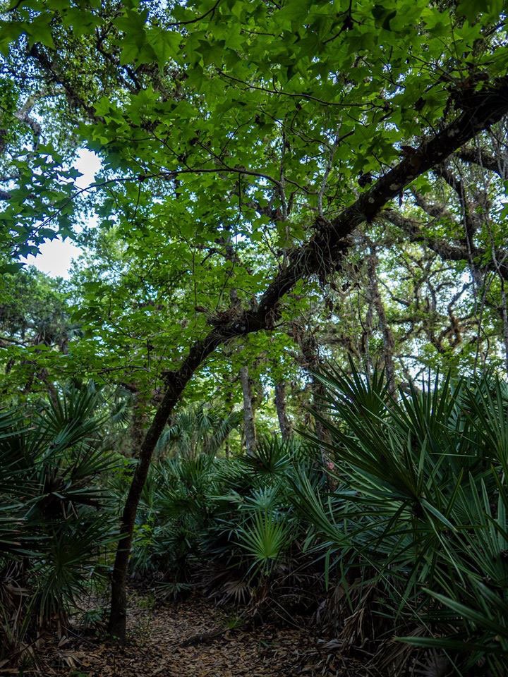
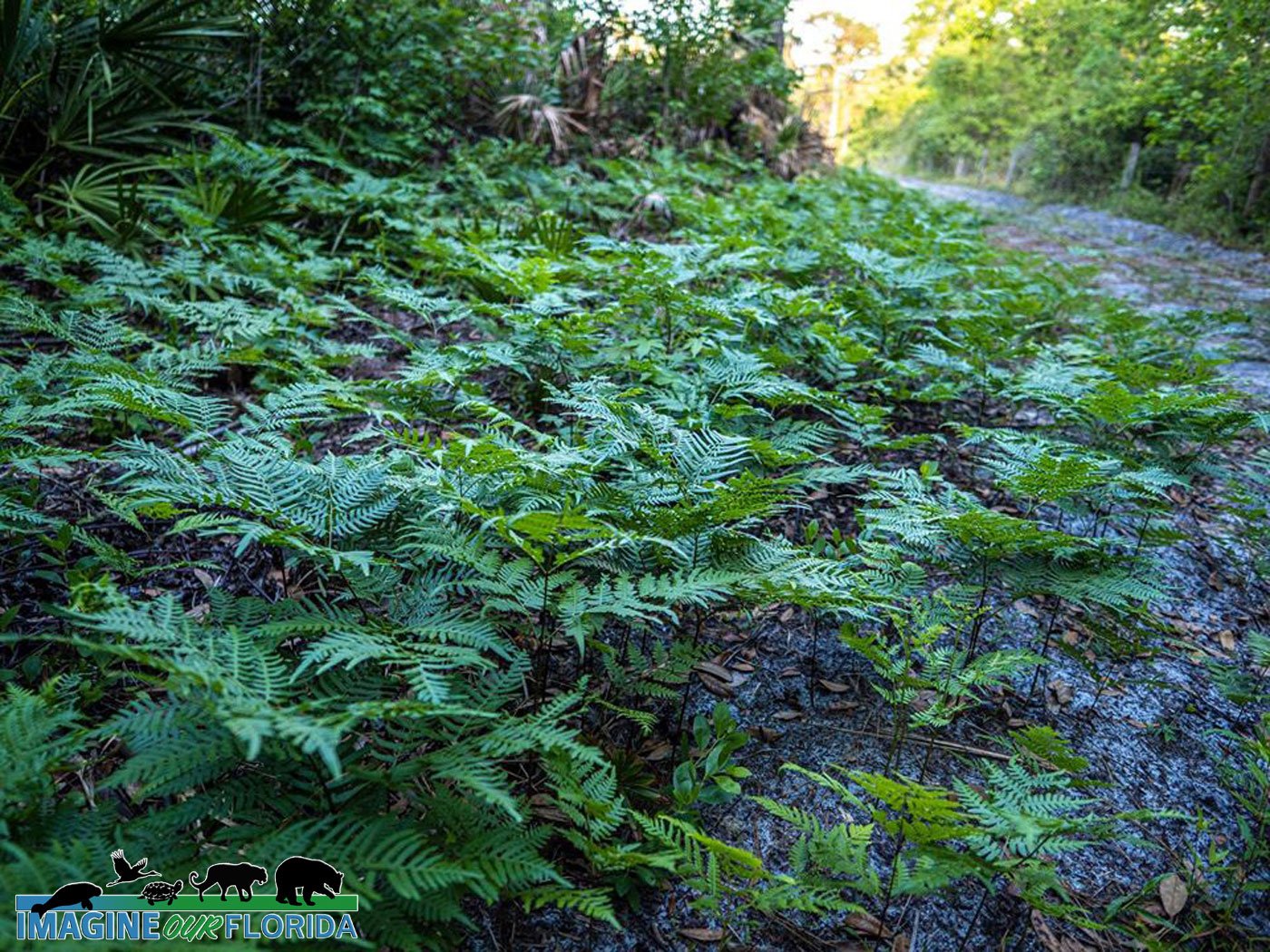
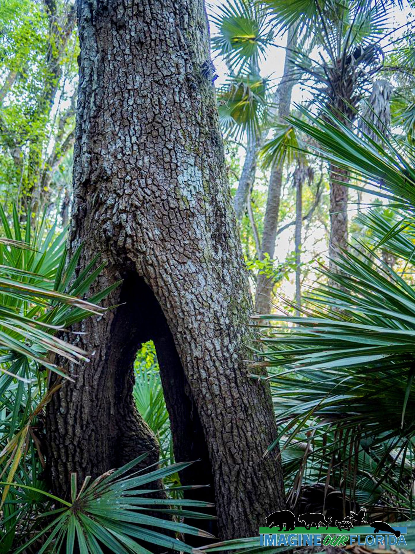
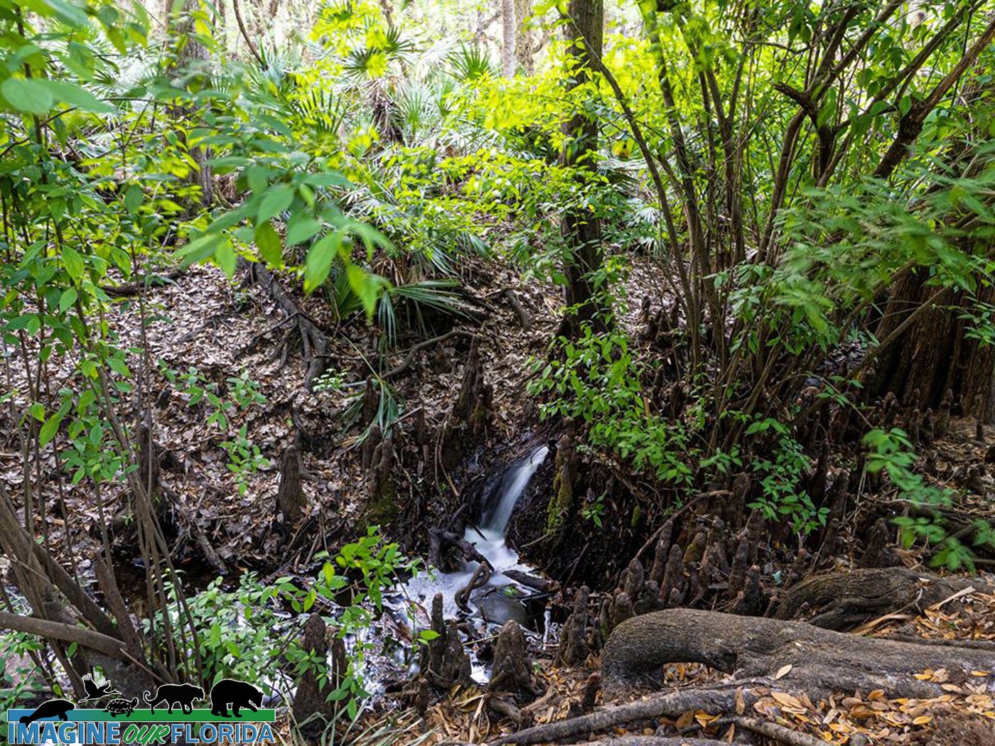
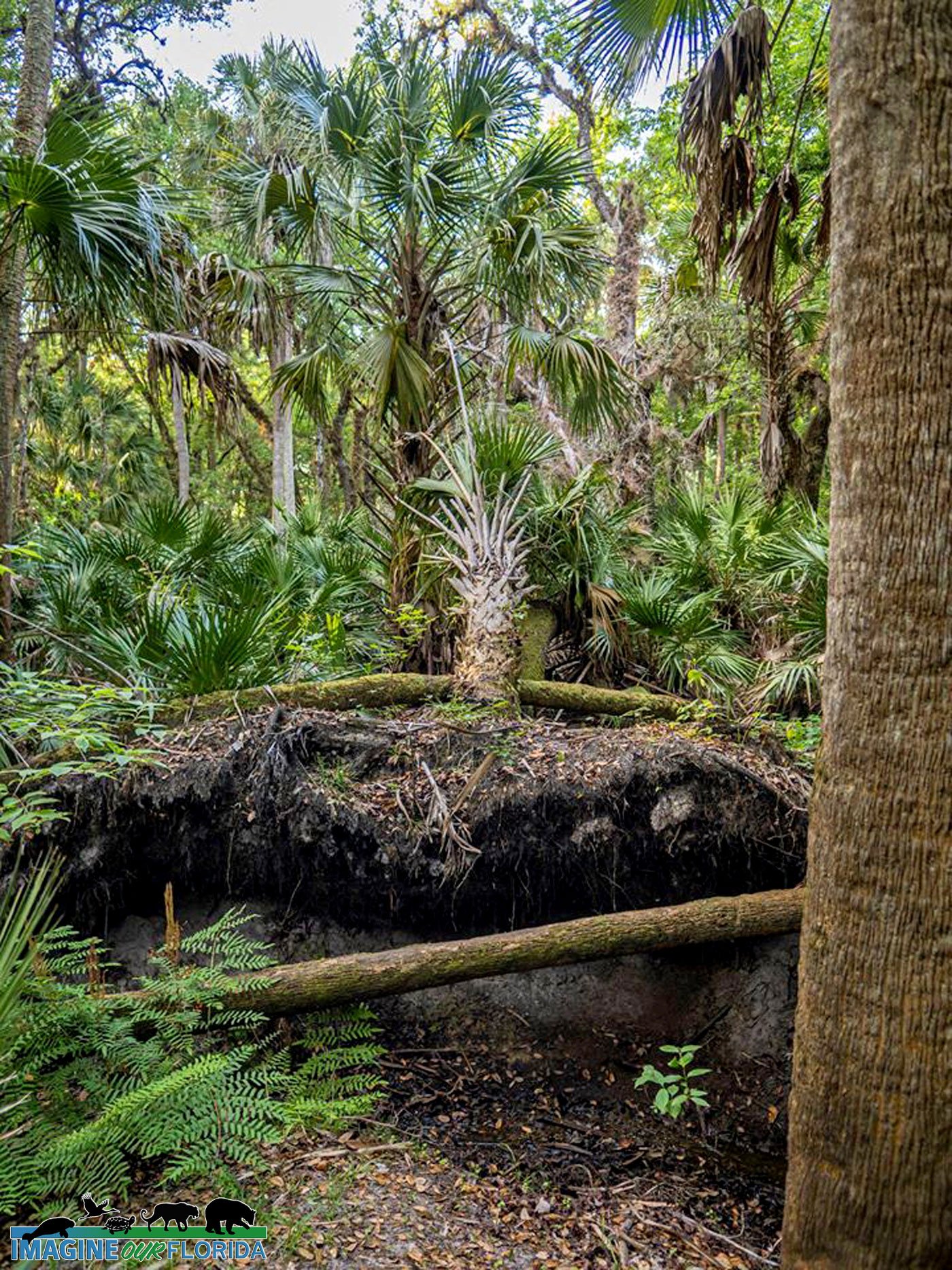
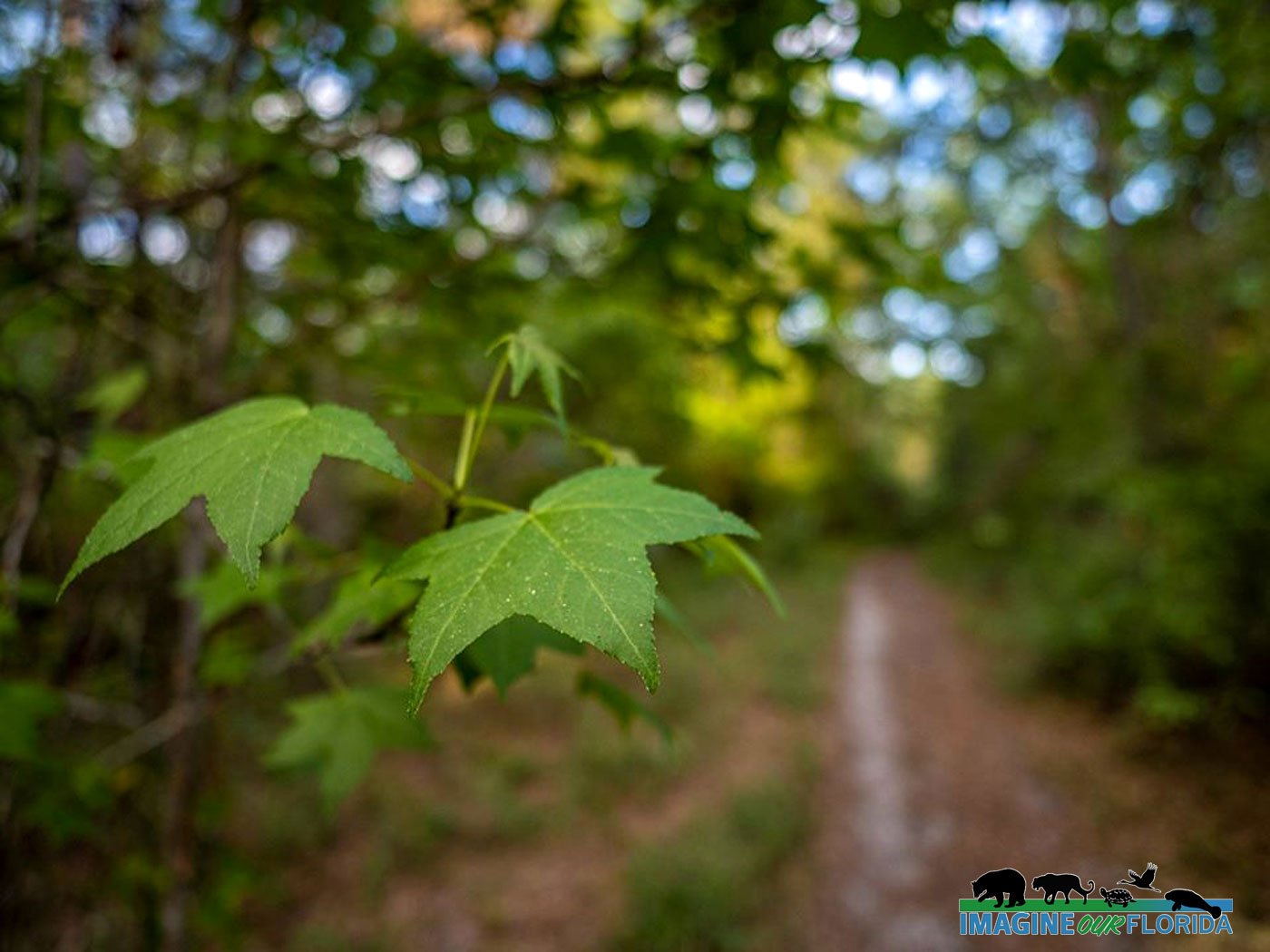
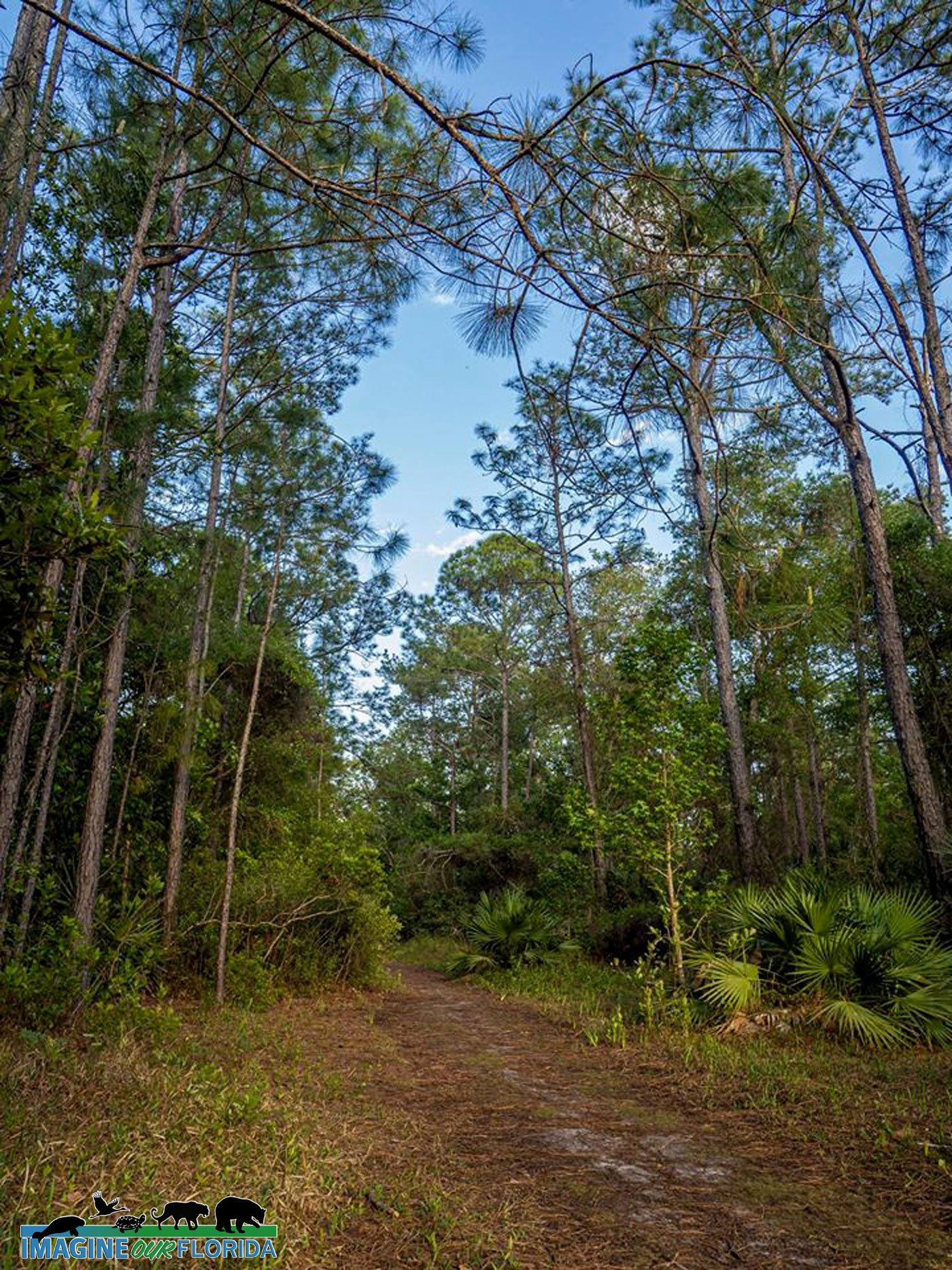
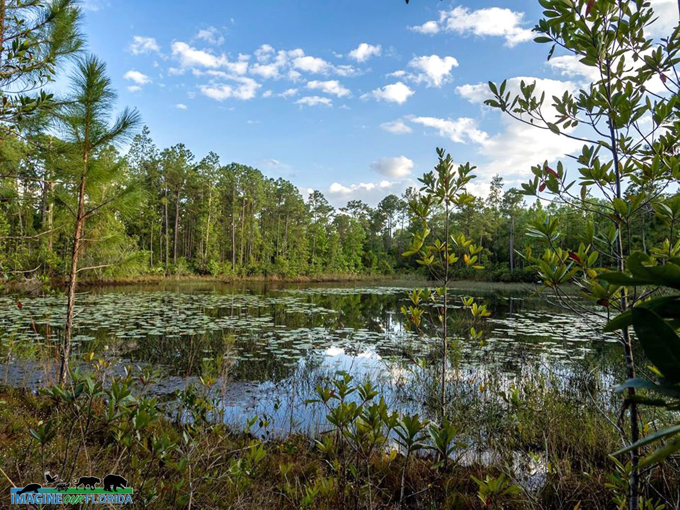
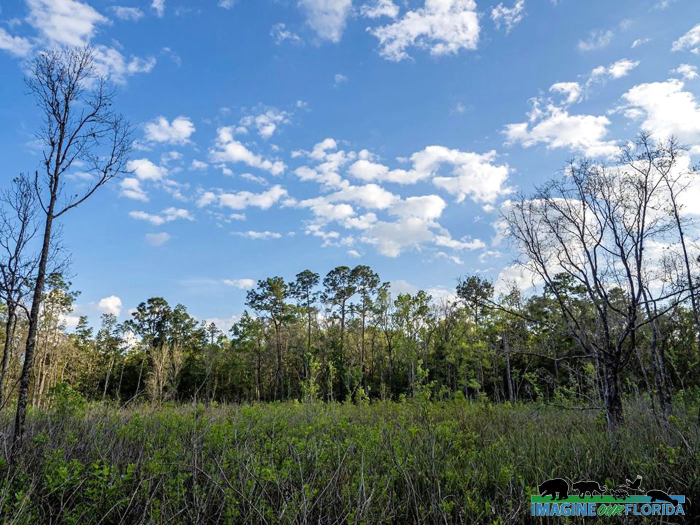
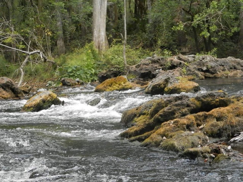
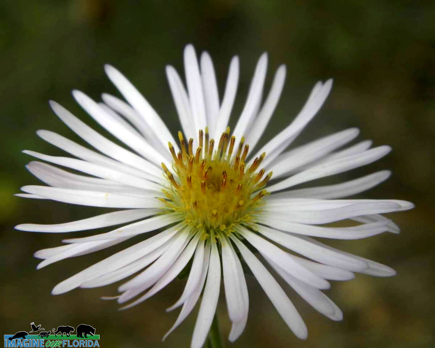
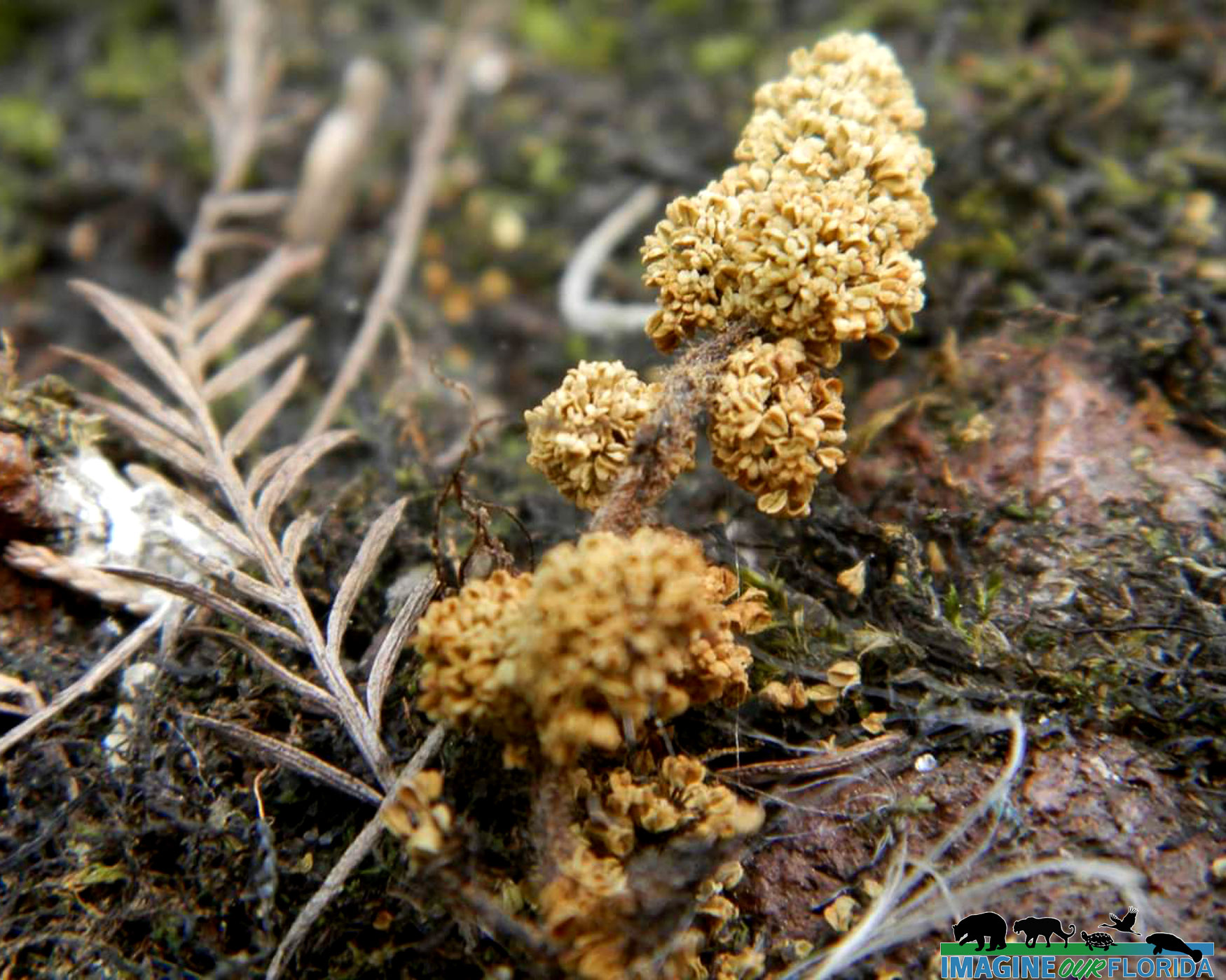
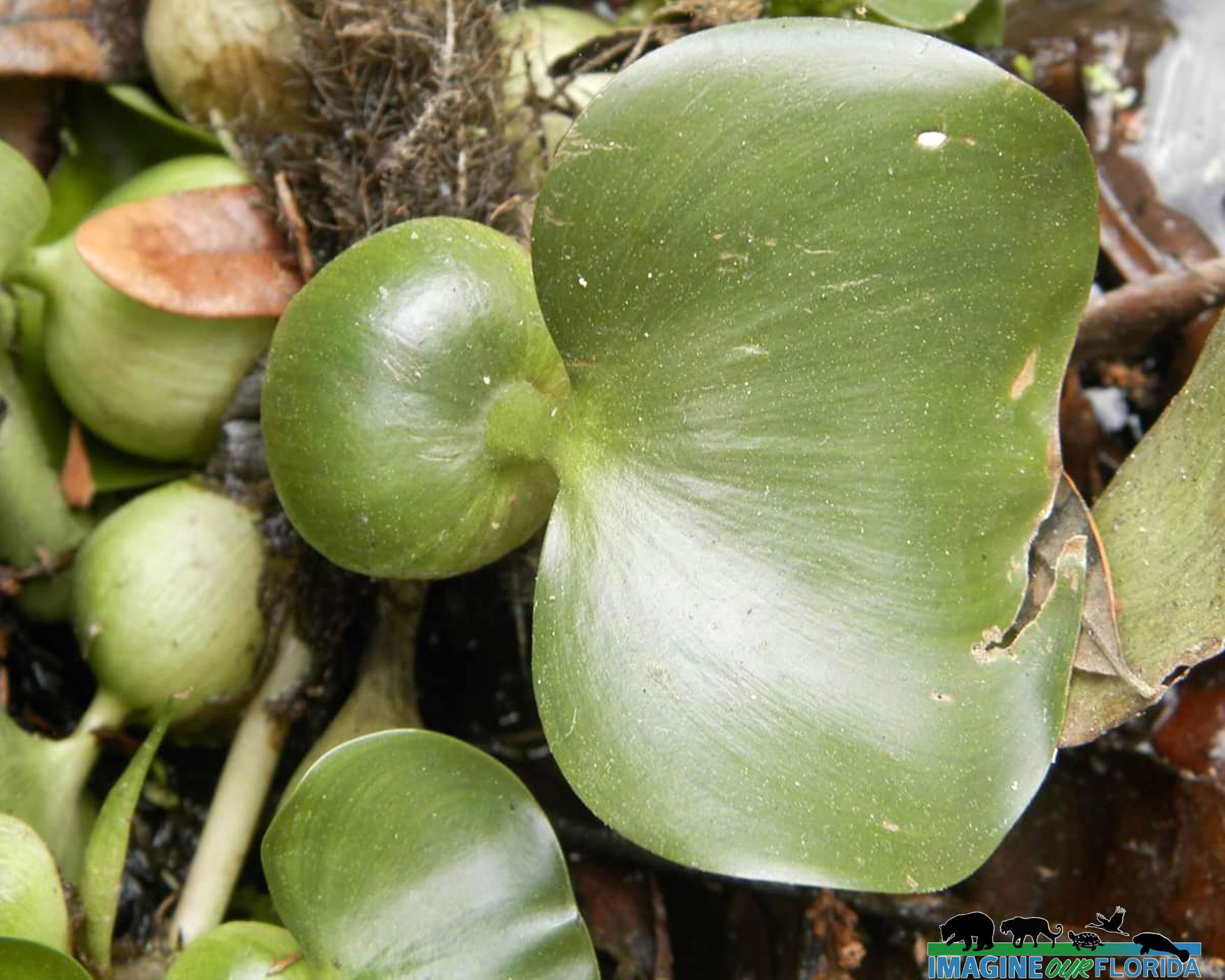
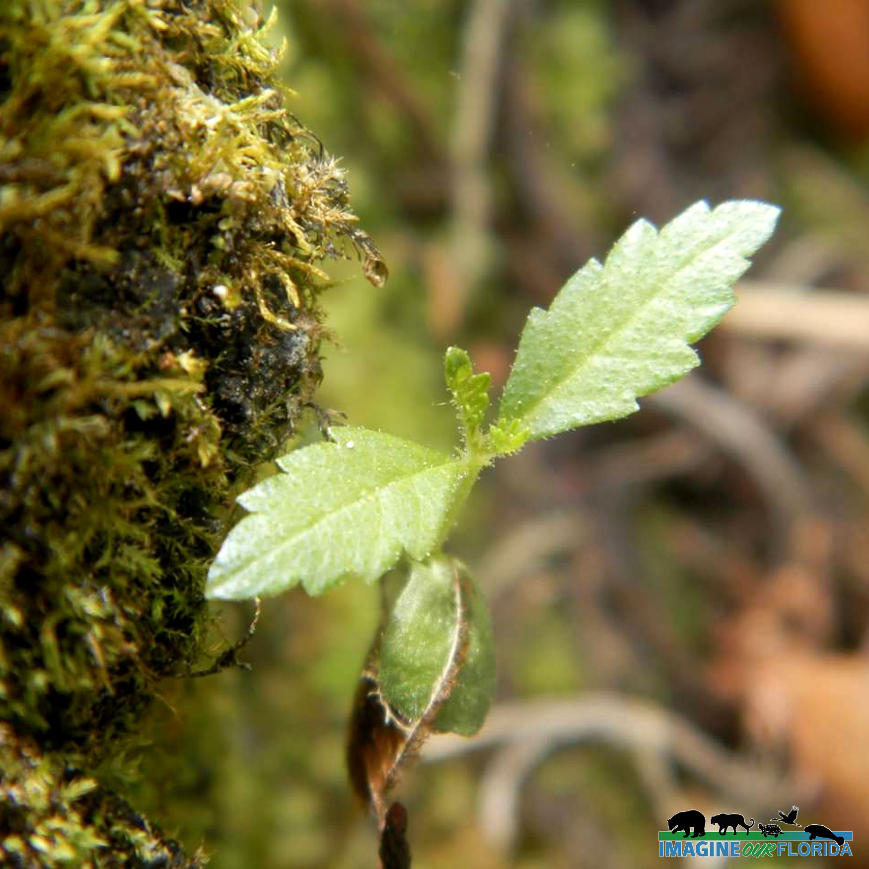
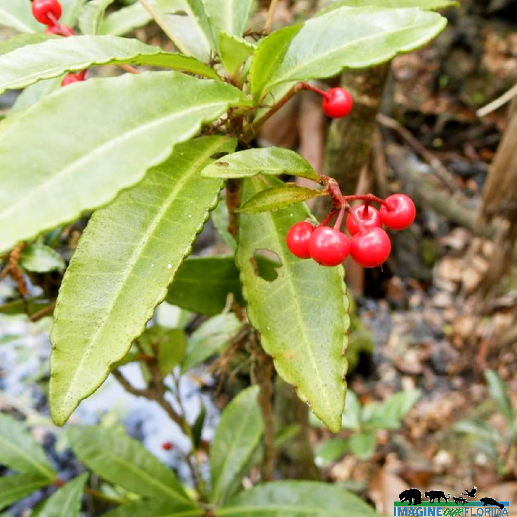
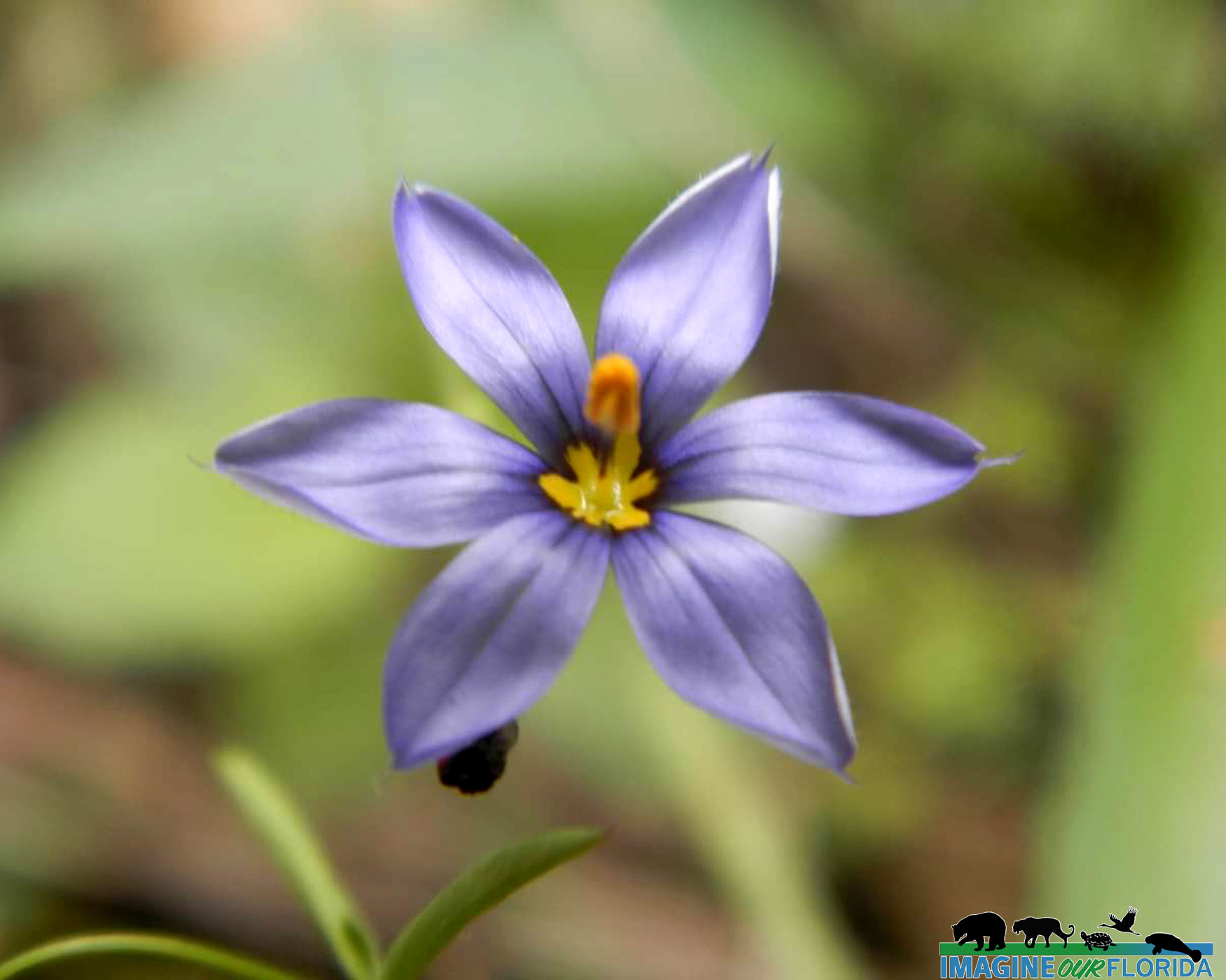
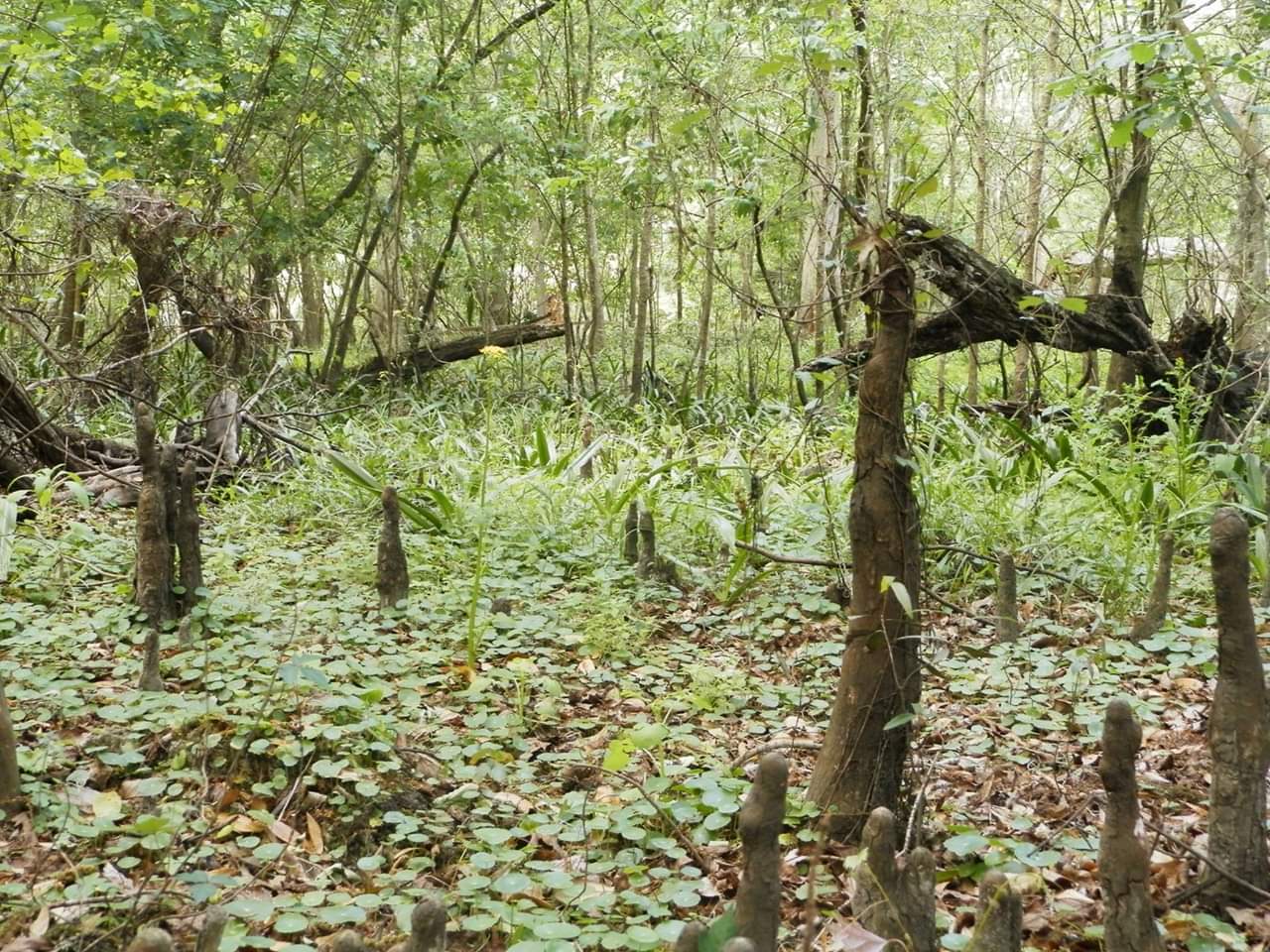
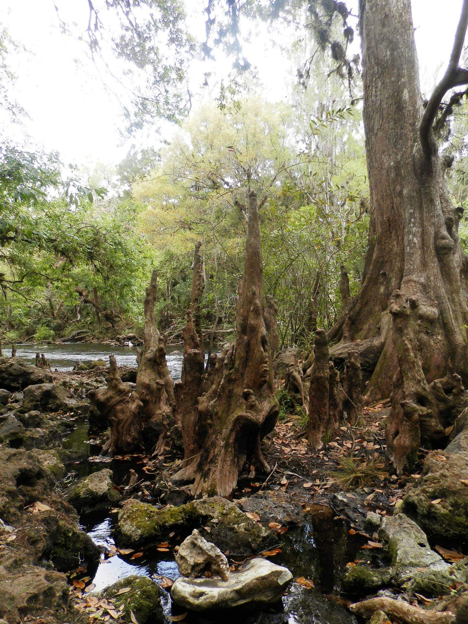
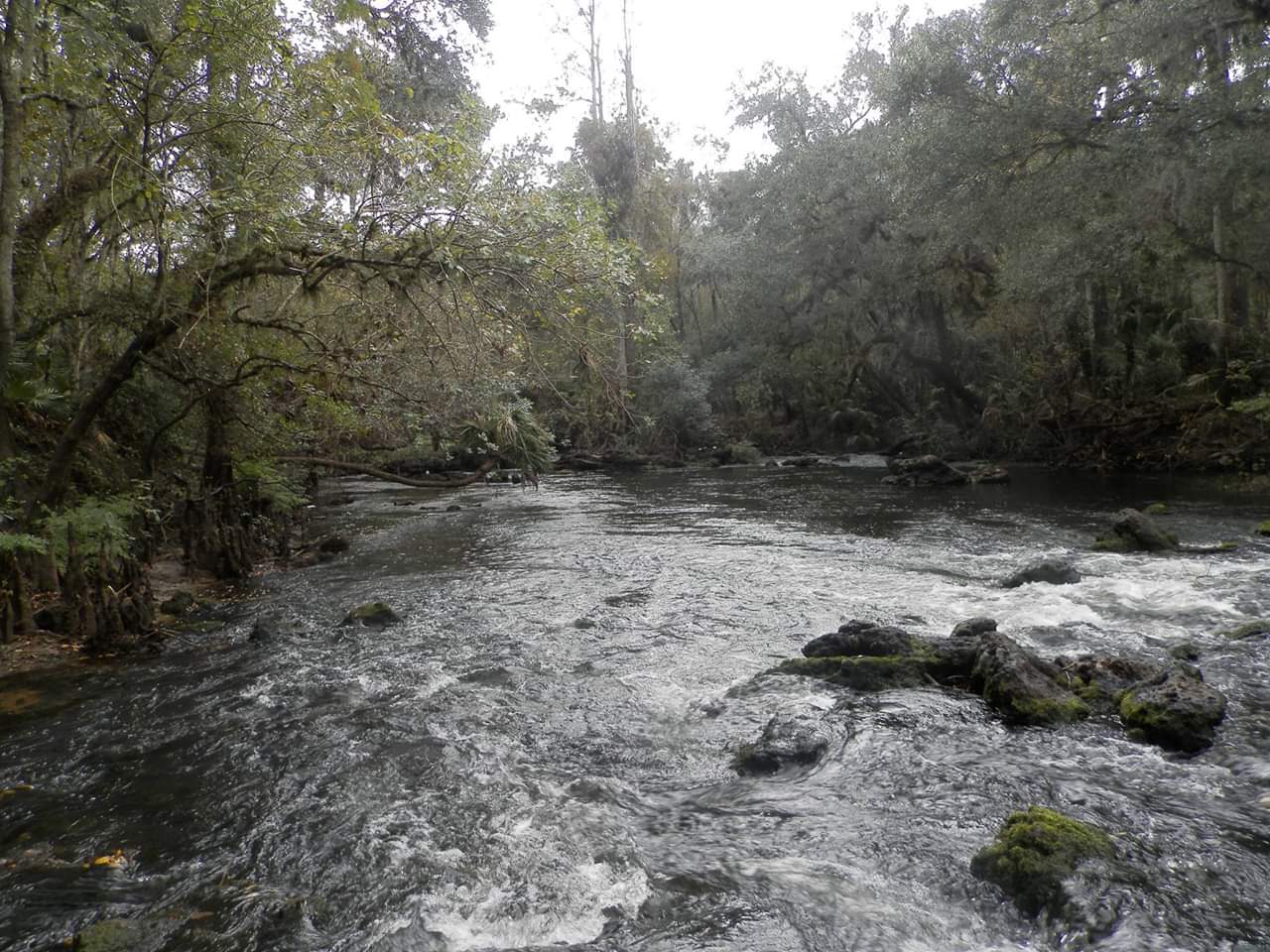
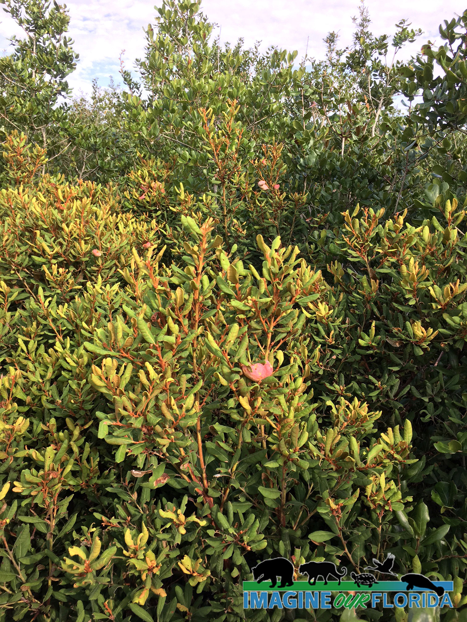
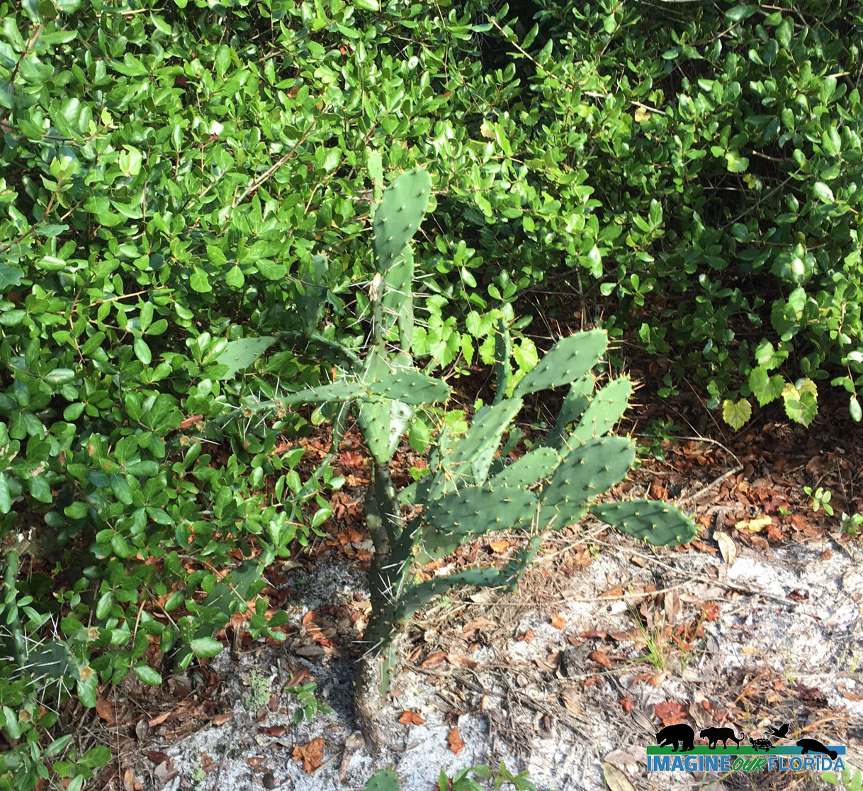
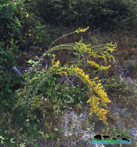
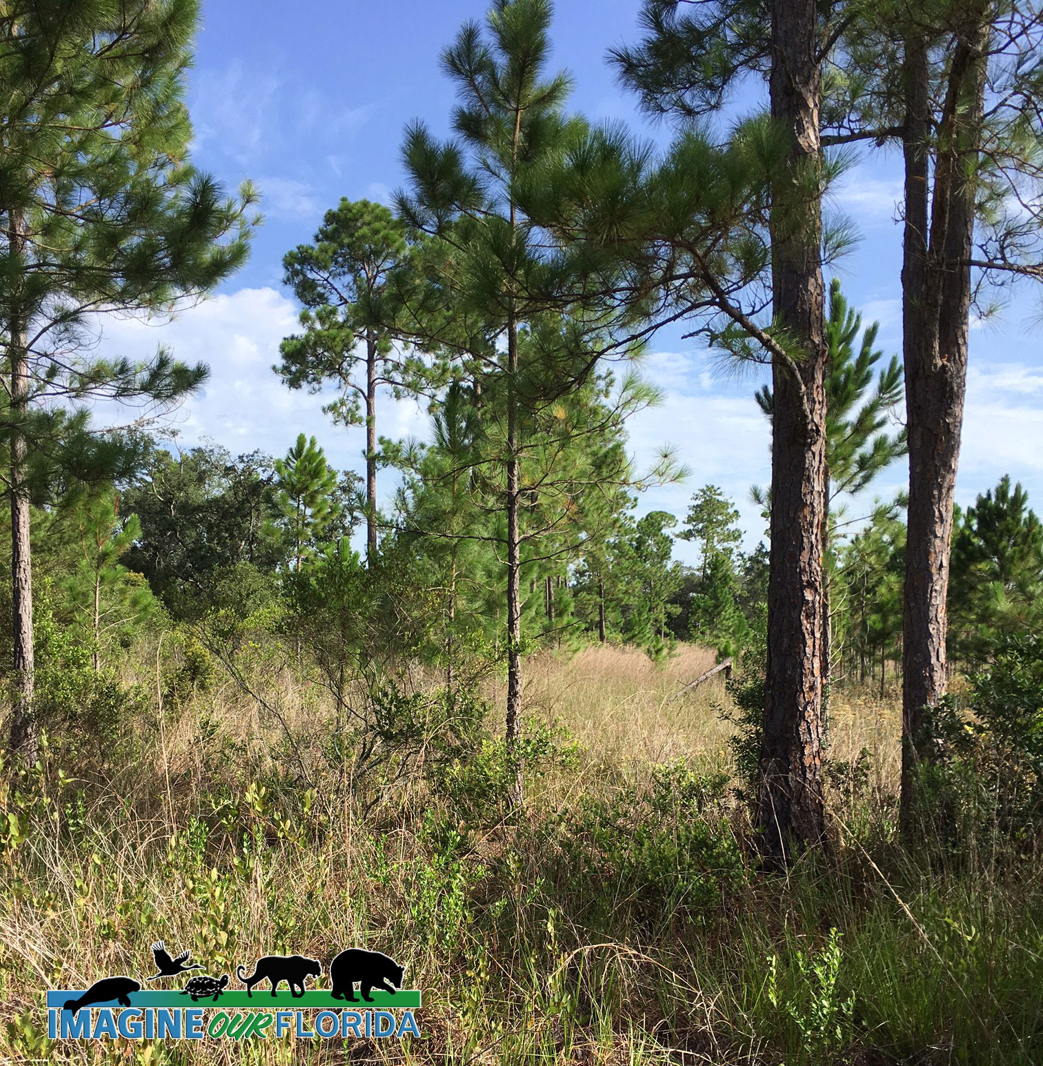
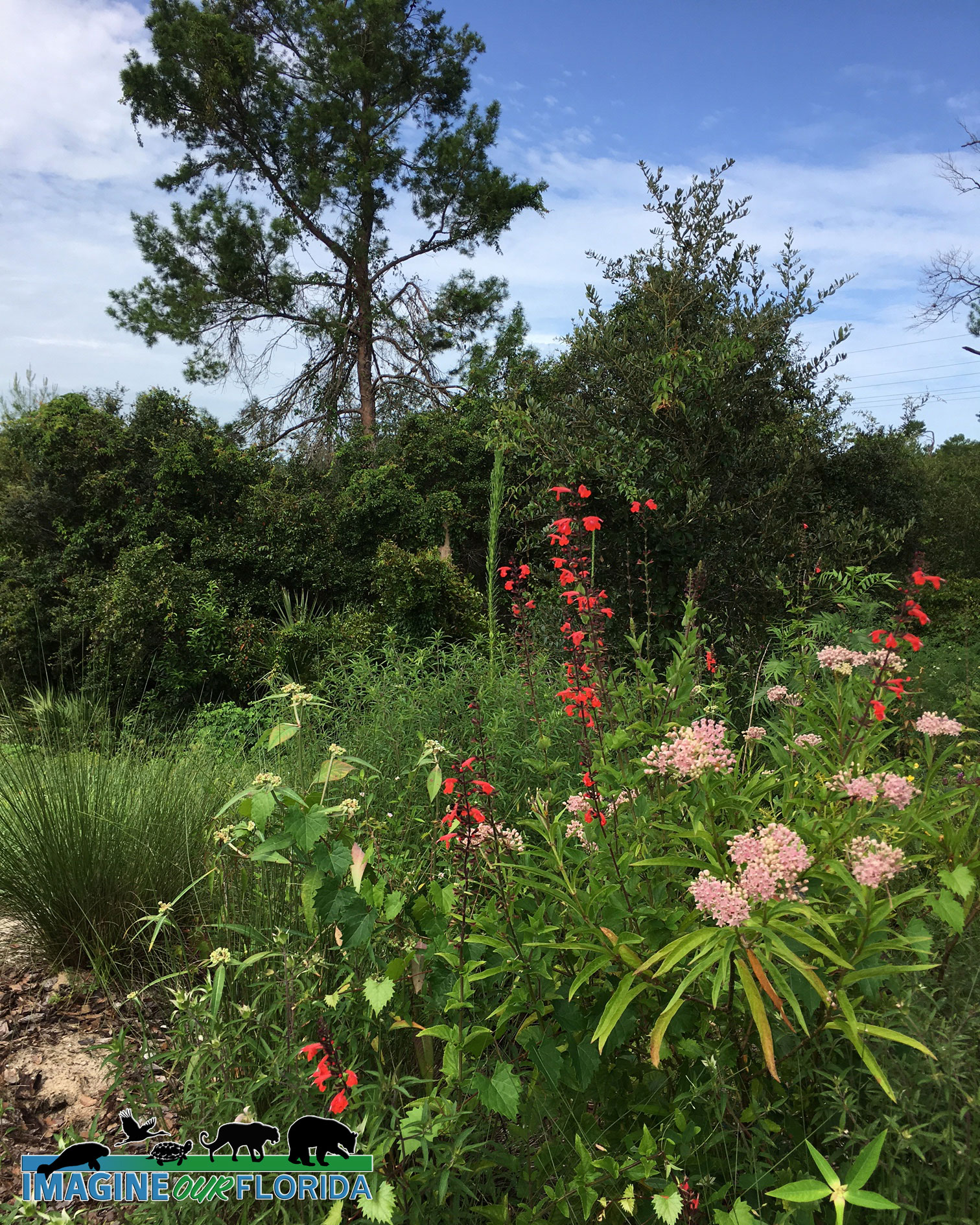
Seventeen miles of the Econlockhatchee River, which has been designating an Outstanding Florida Waterway, makes its way through the forest before flowing into the St. Johns River on the eastern boundary. The Little Big Econ State Forest boasts a variety of habitats including wet prairie, pine flatwoods, sandhill, scrub pine, flatwoods, scrub, sandhill, and oak-palm hammocks.
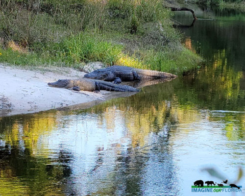
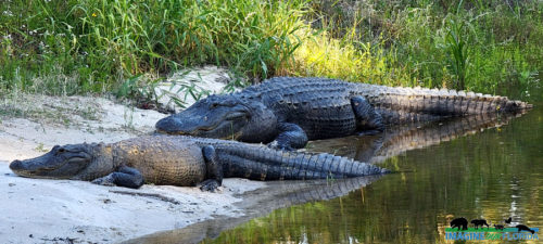
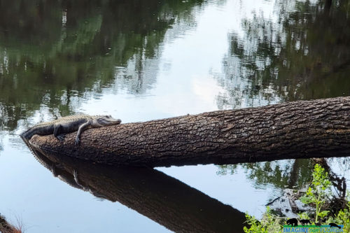
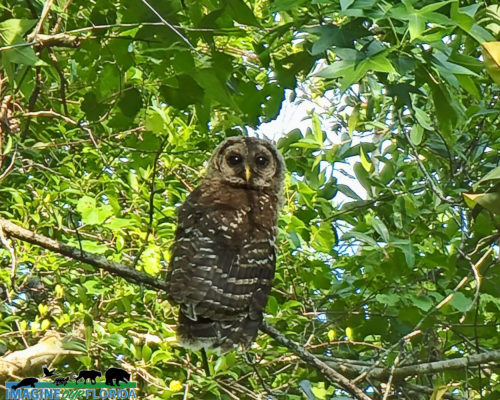
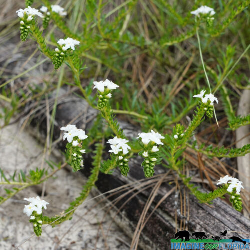
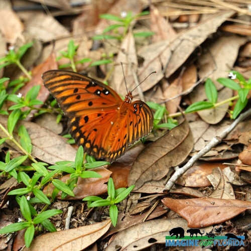
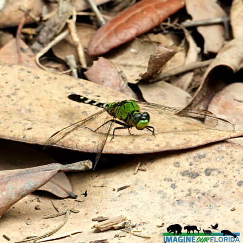
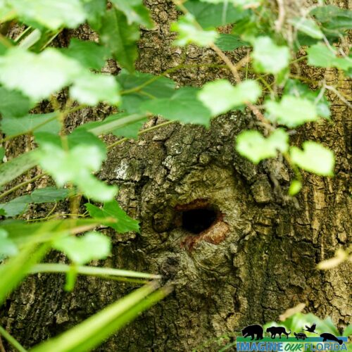
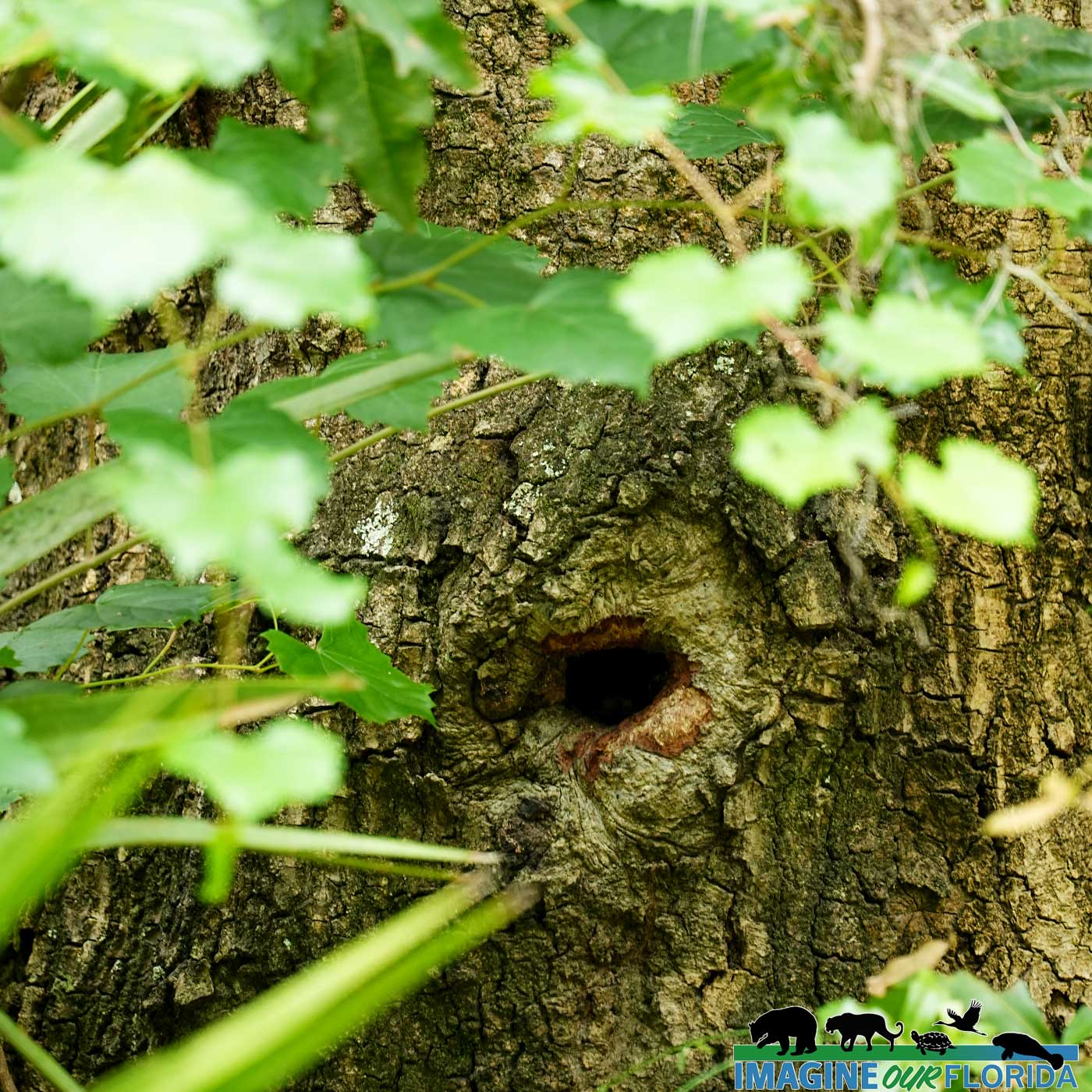
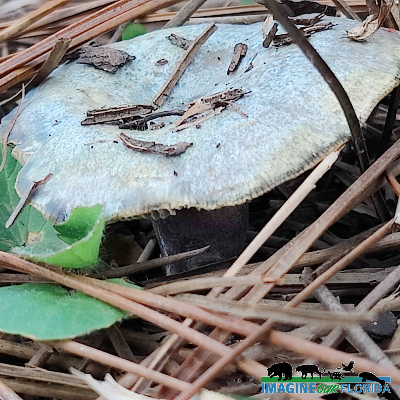
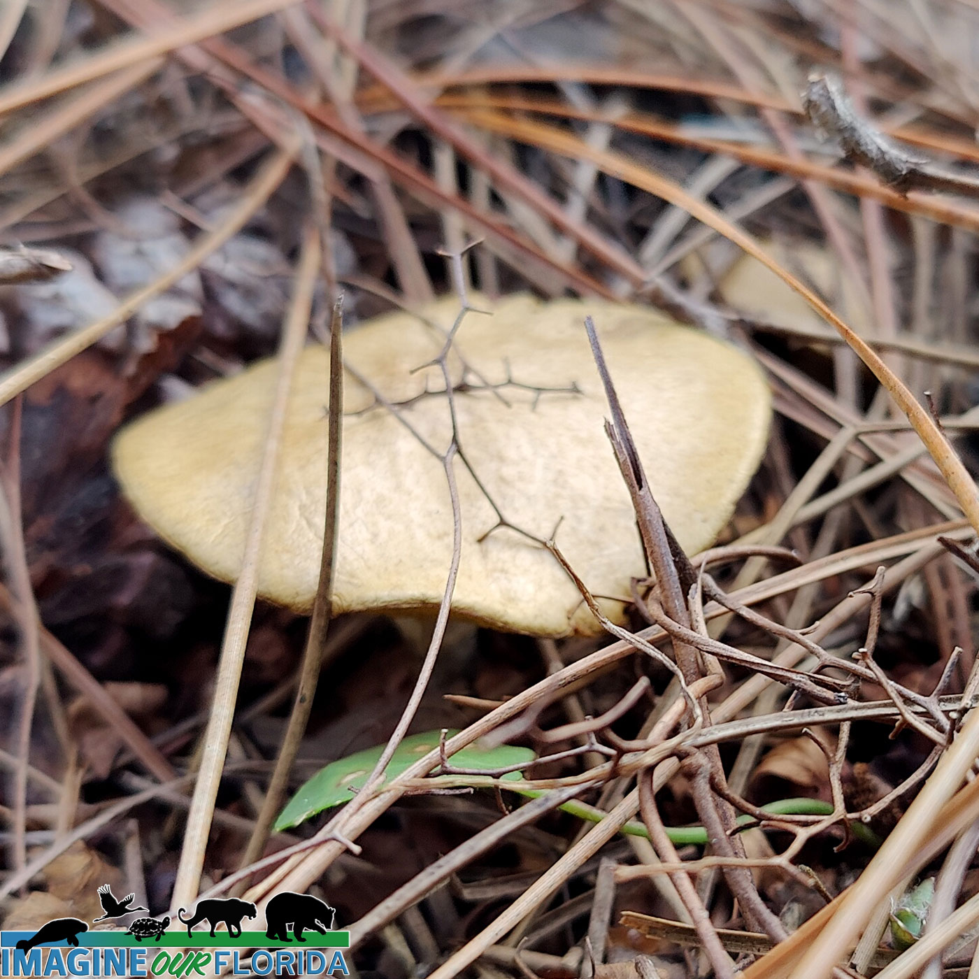
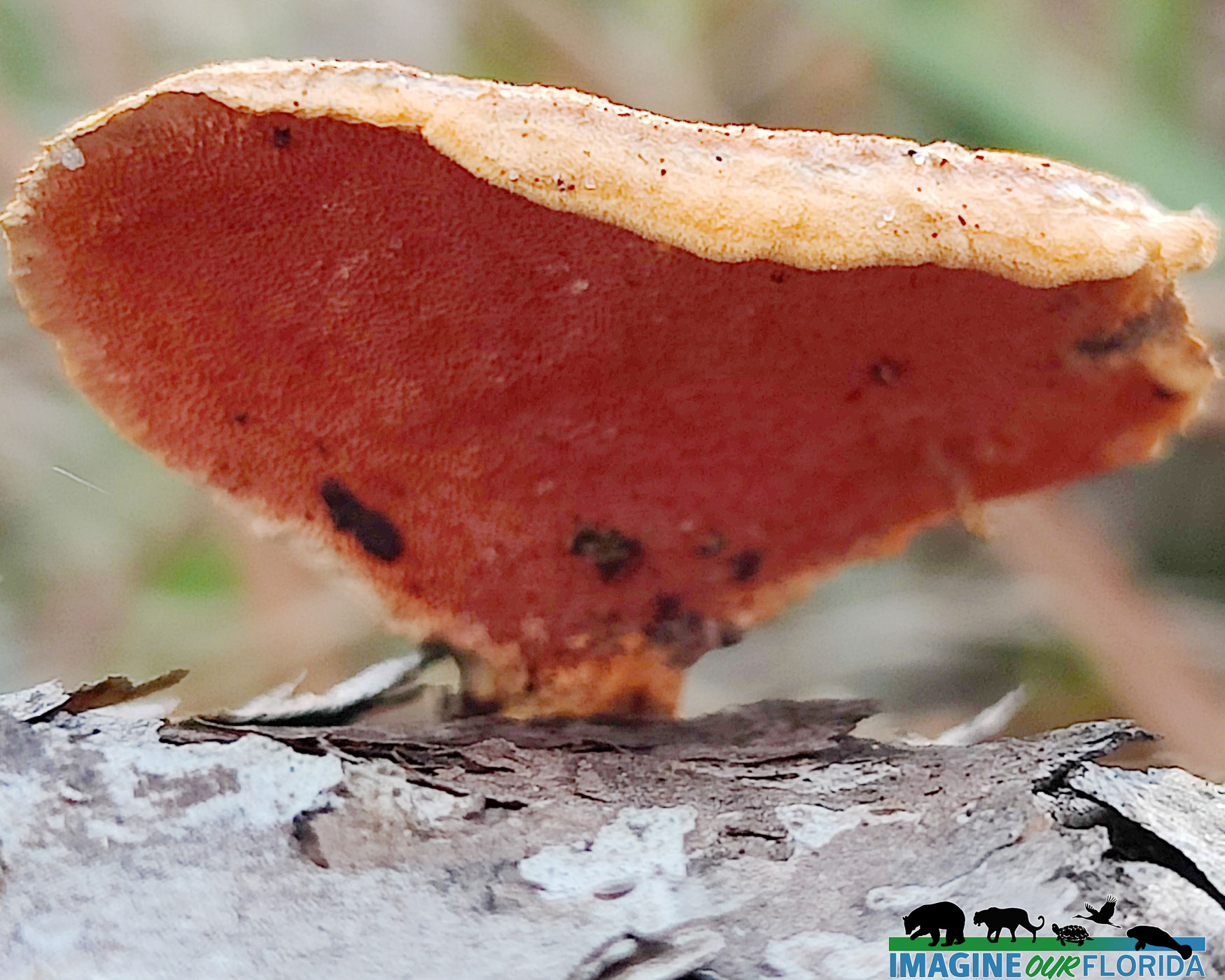
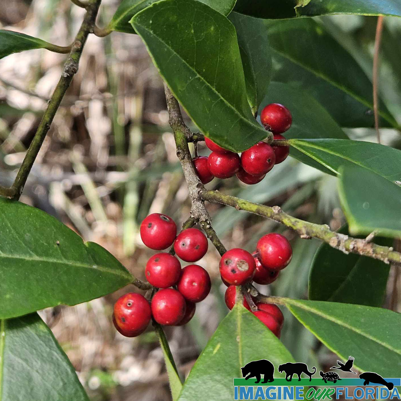
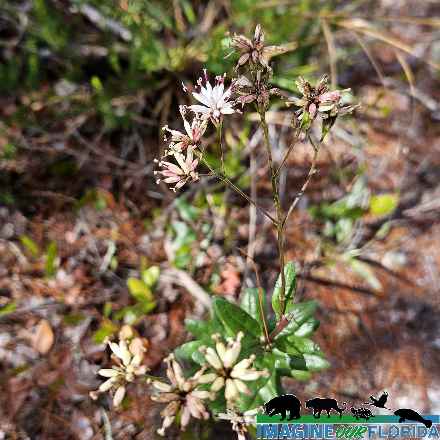
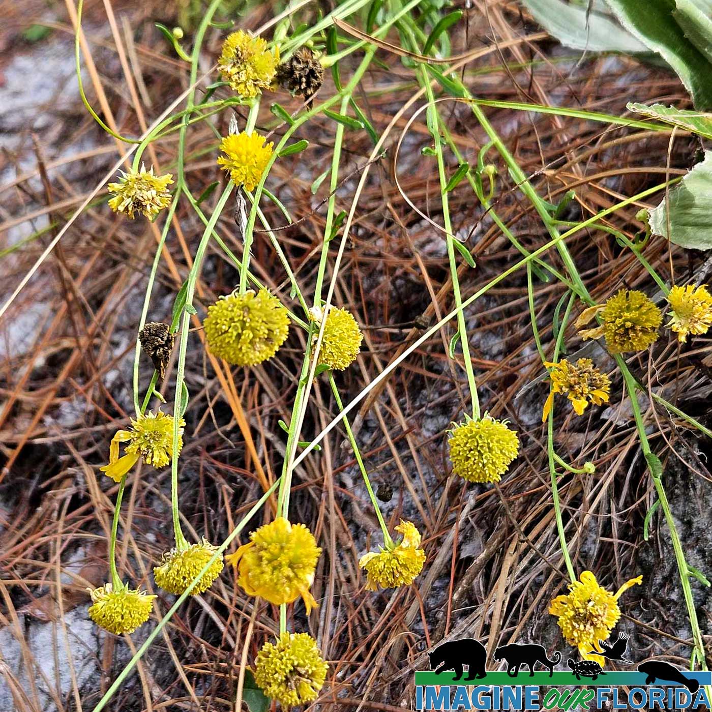
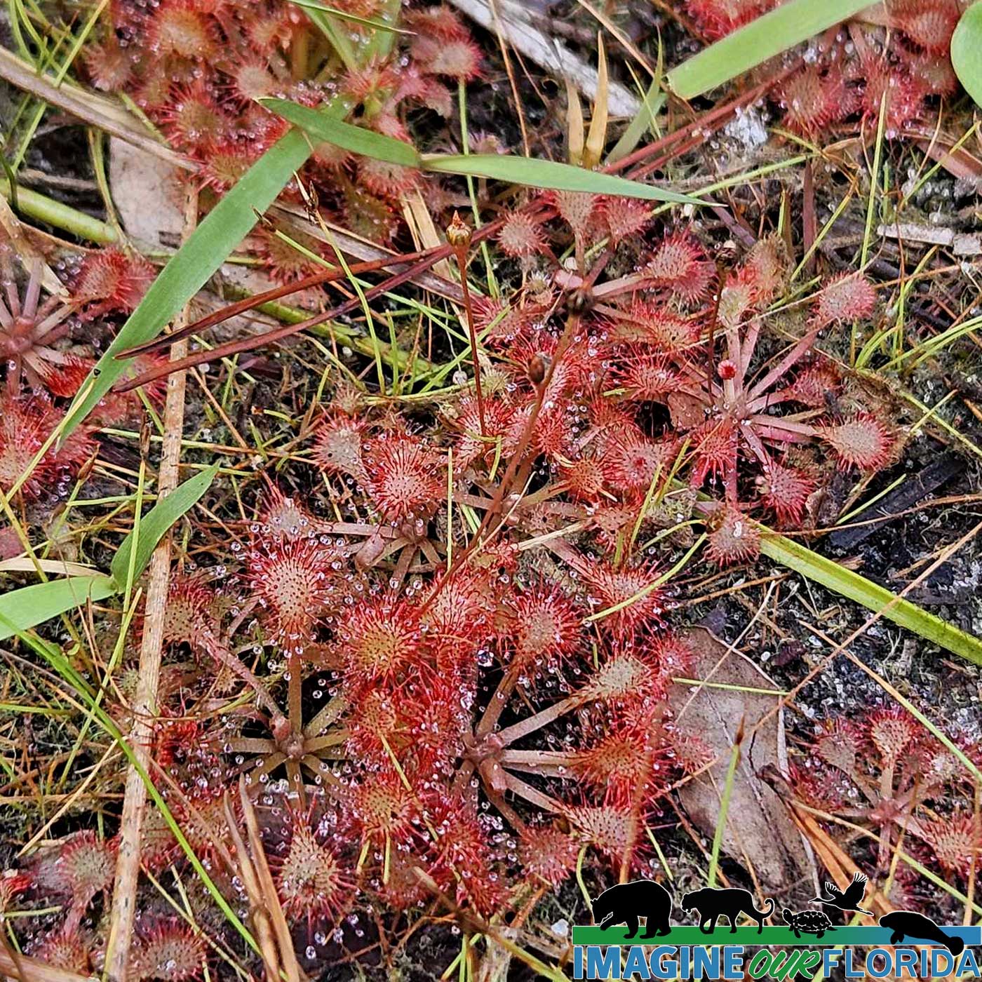
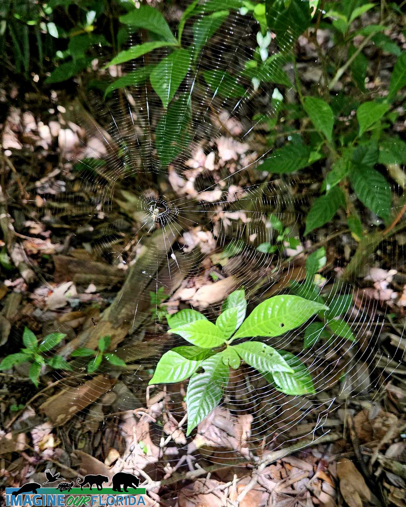
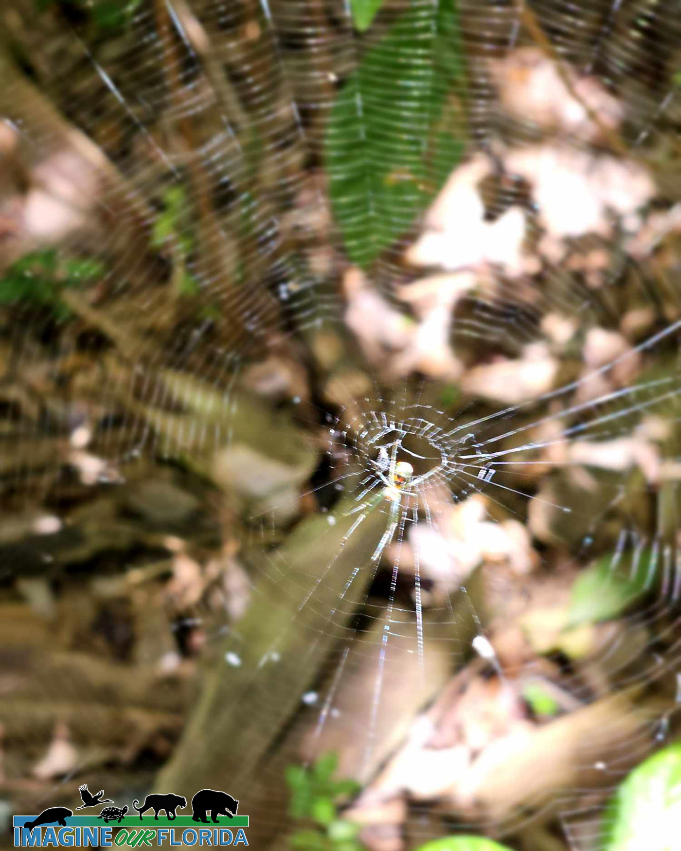
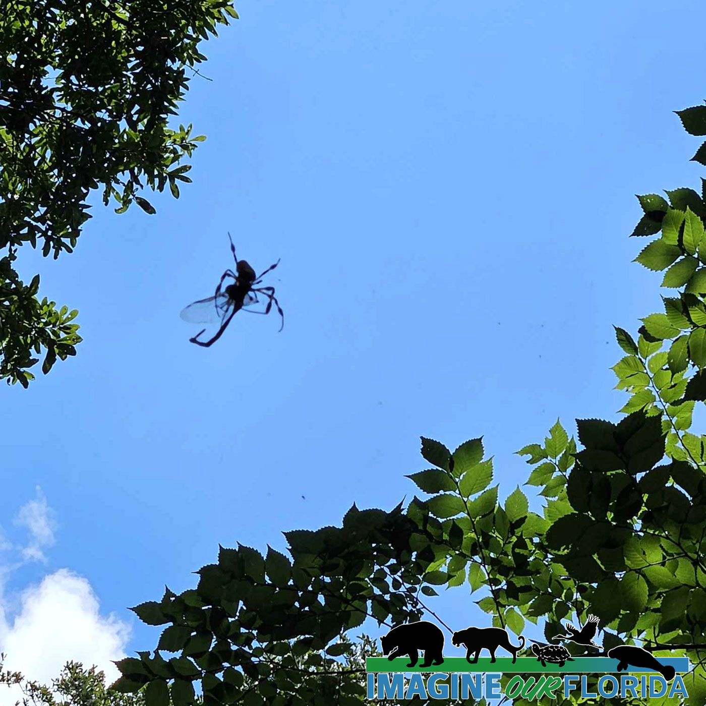
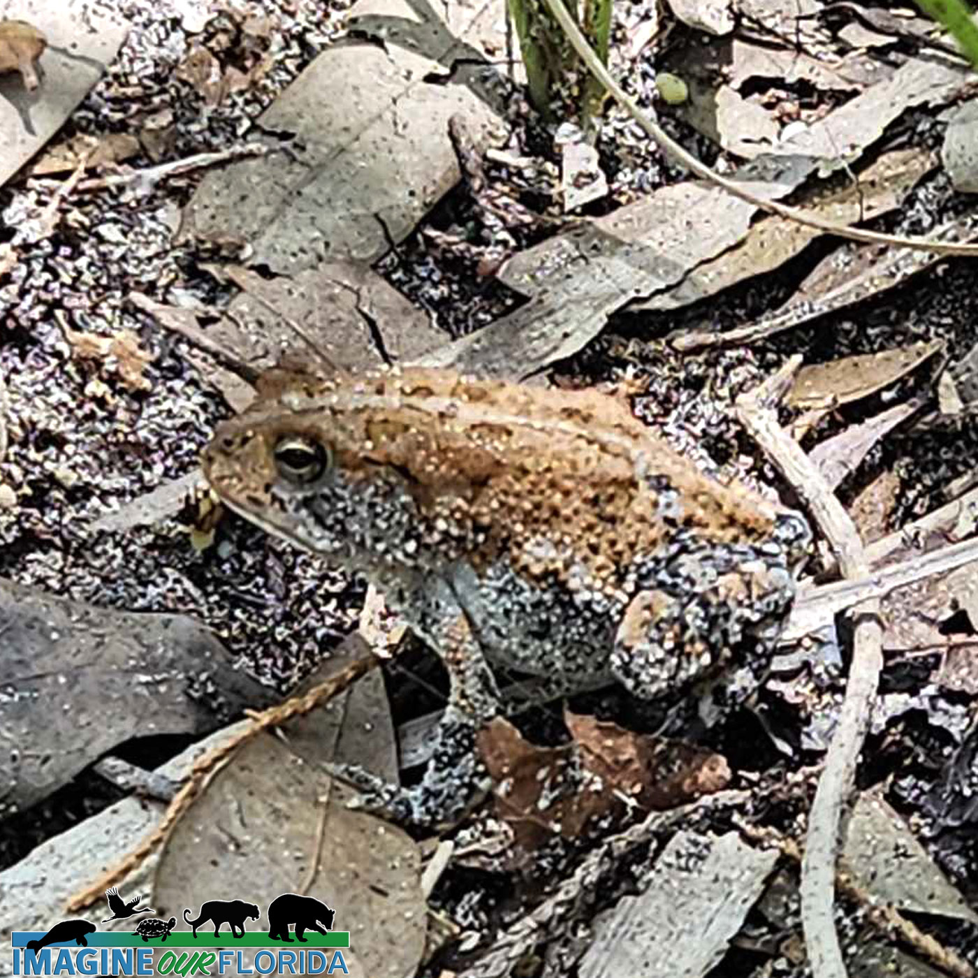
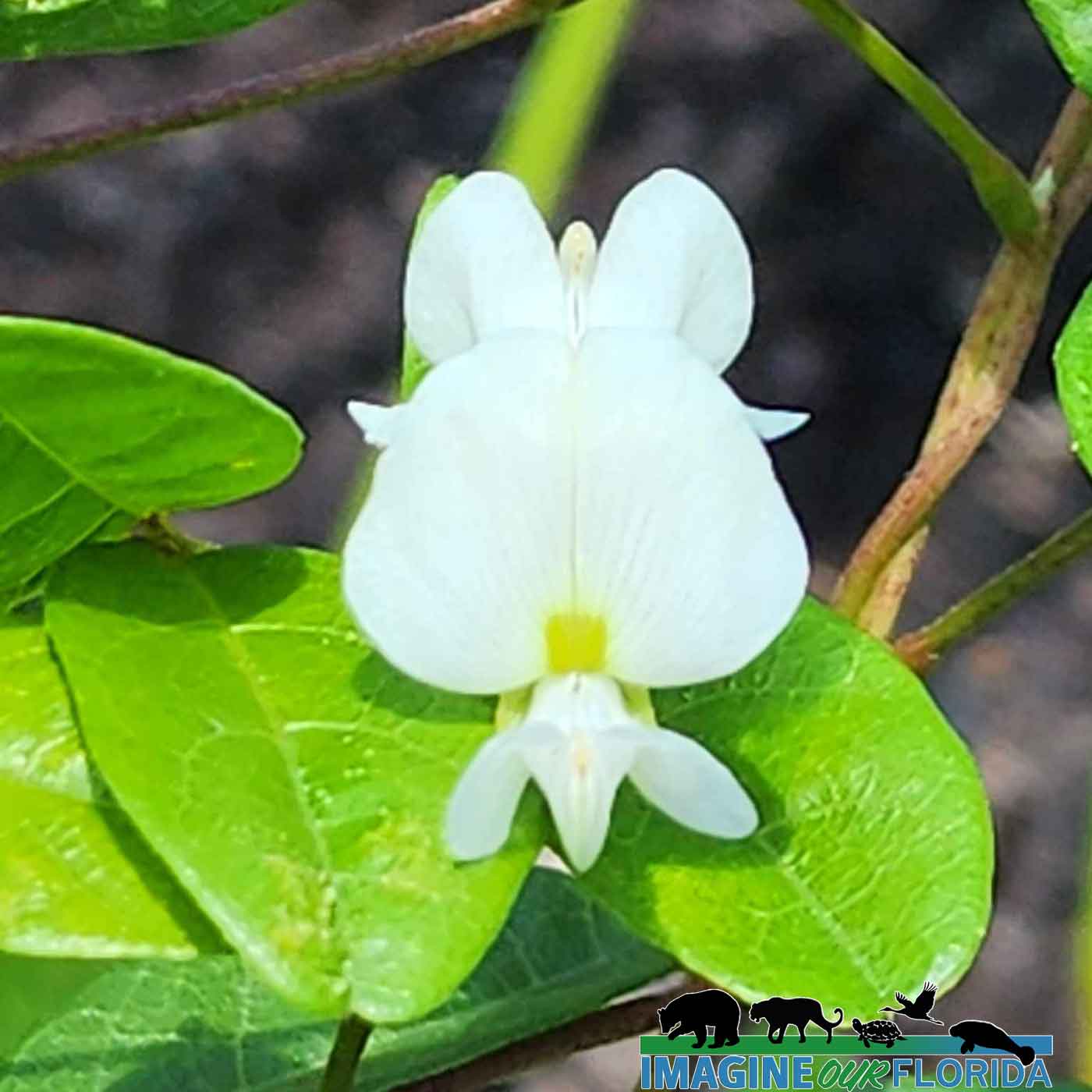
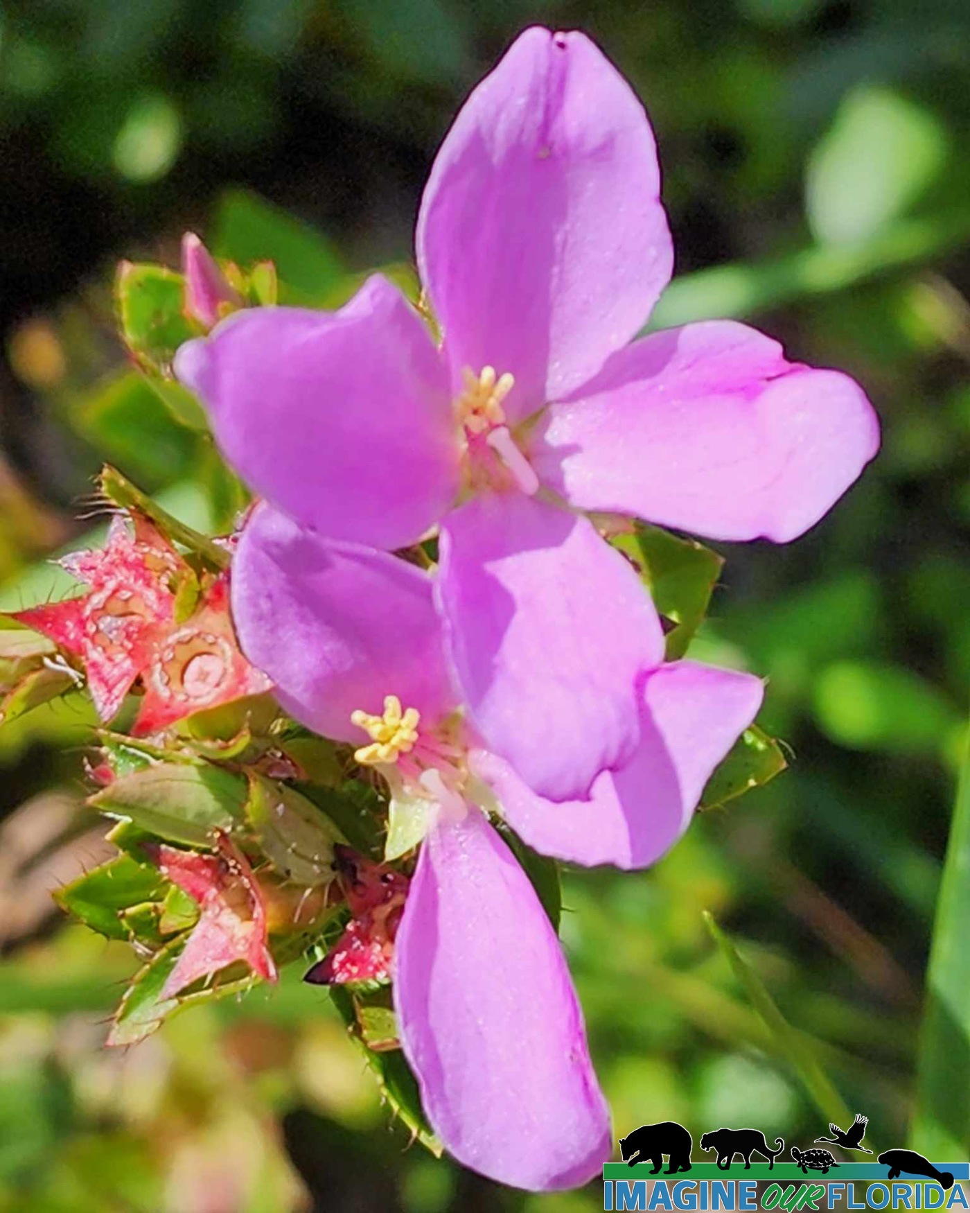
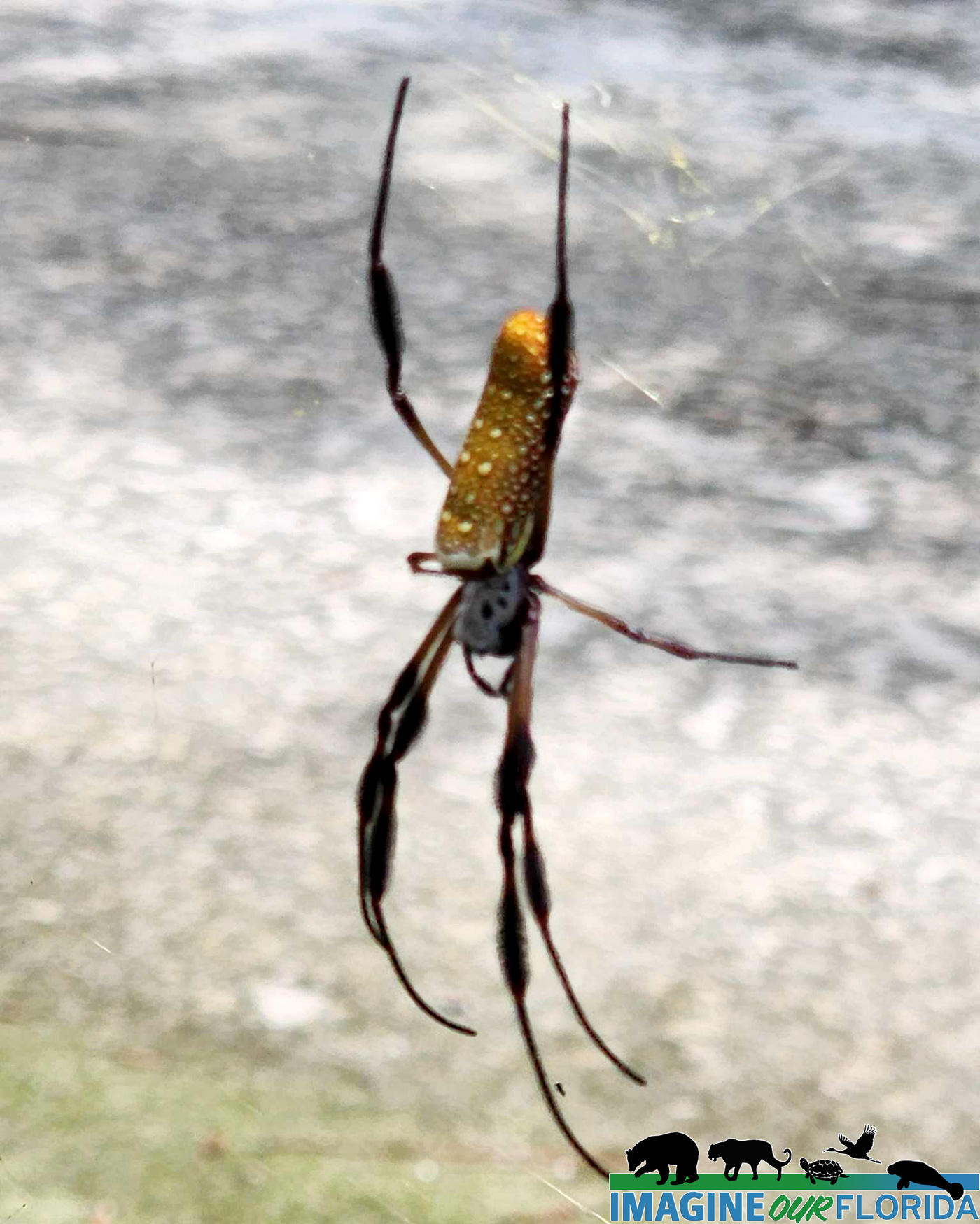
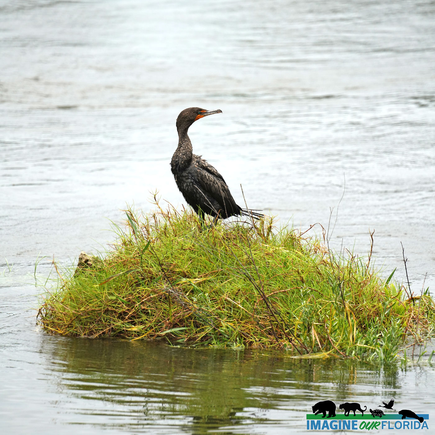
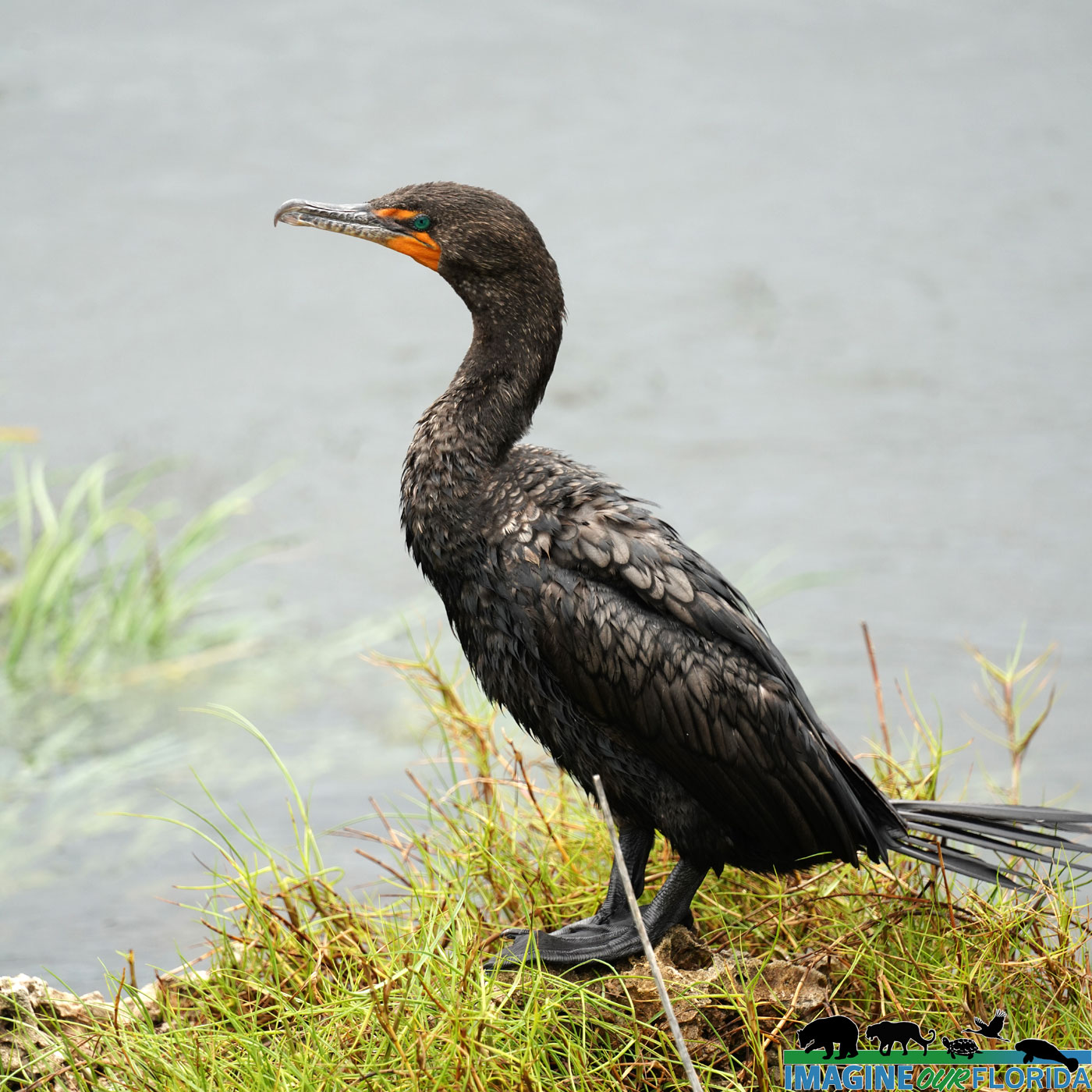
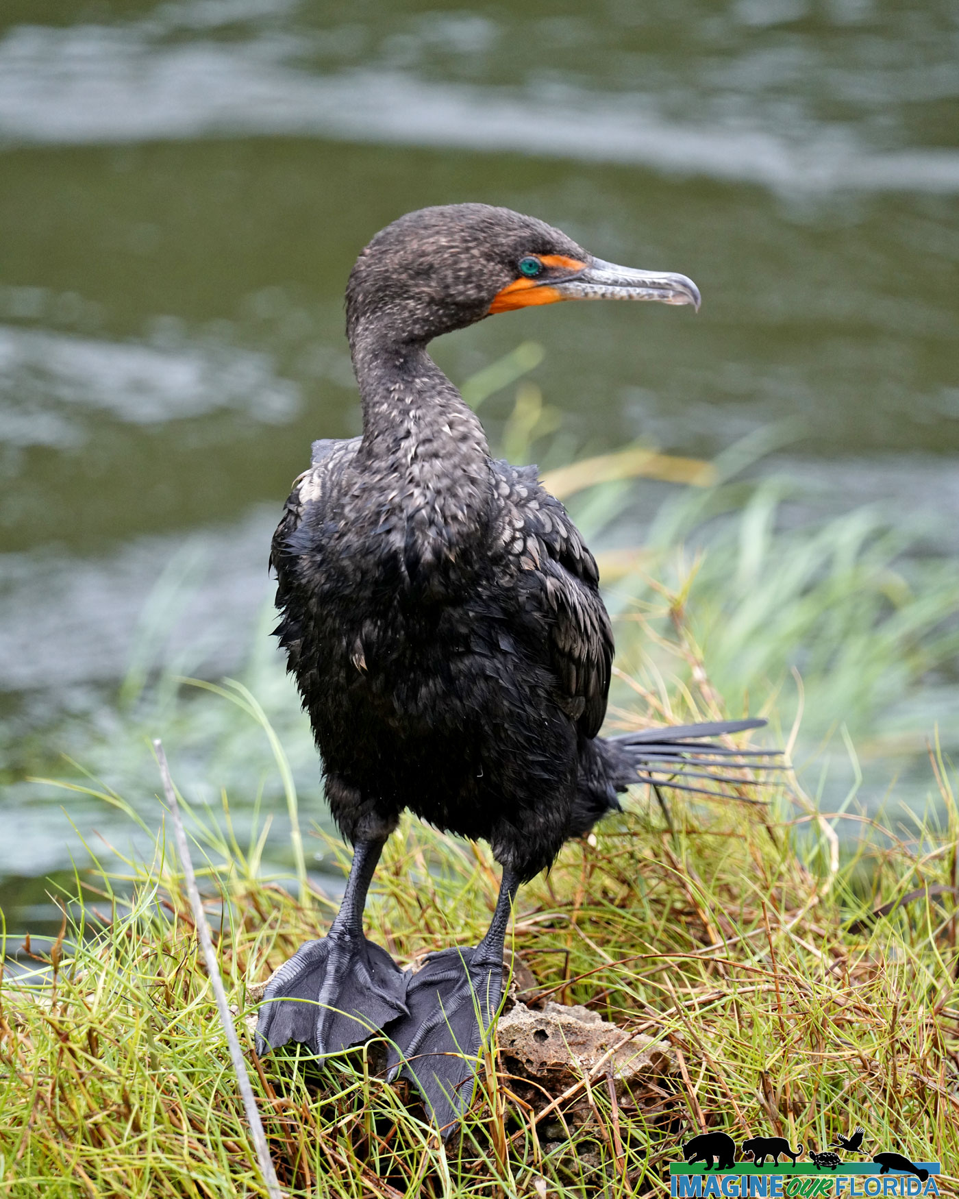
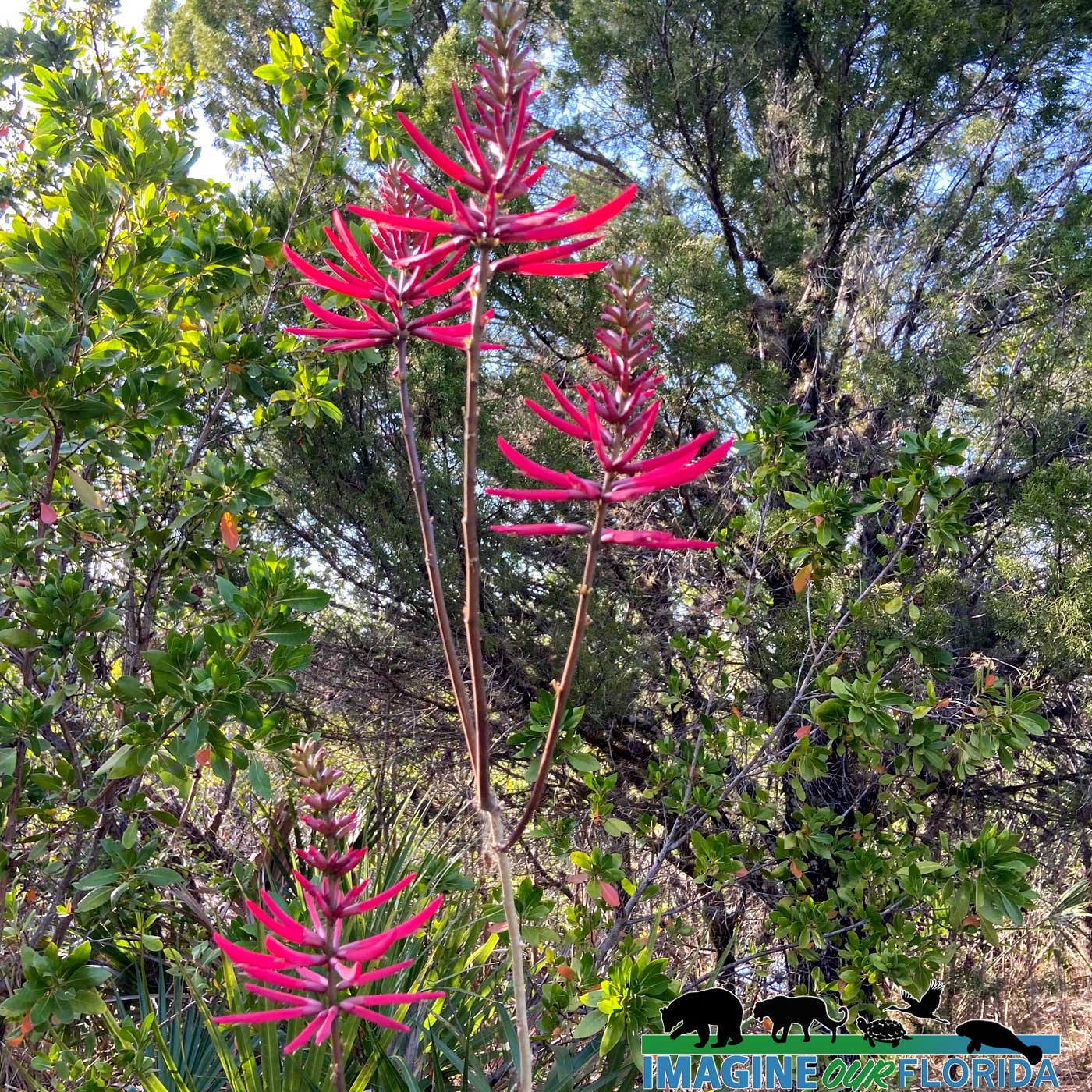
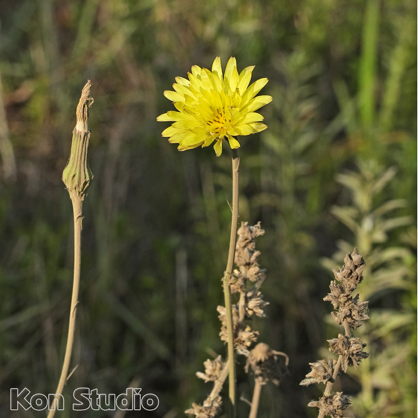
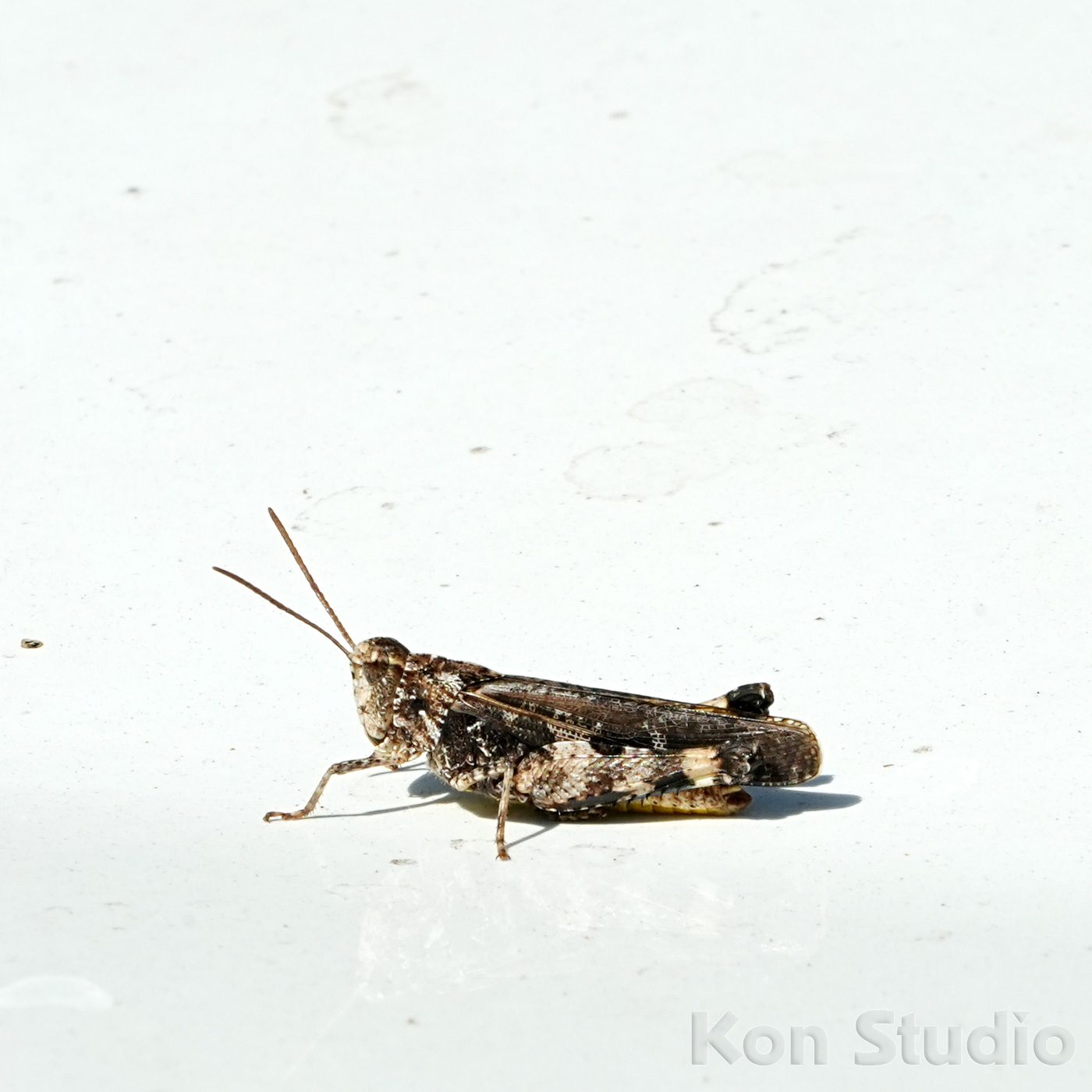
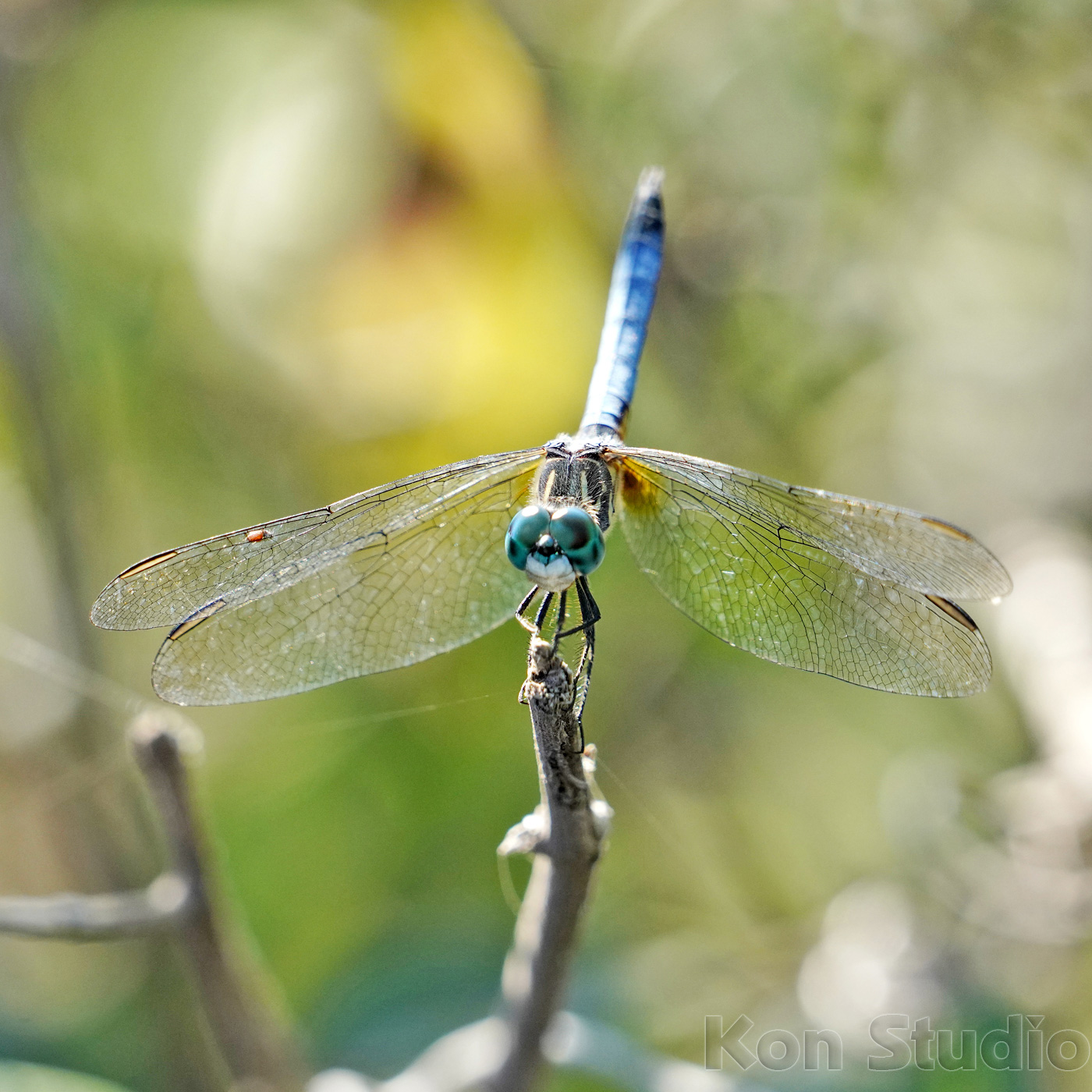
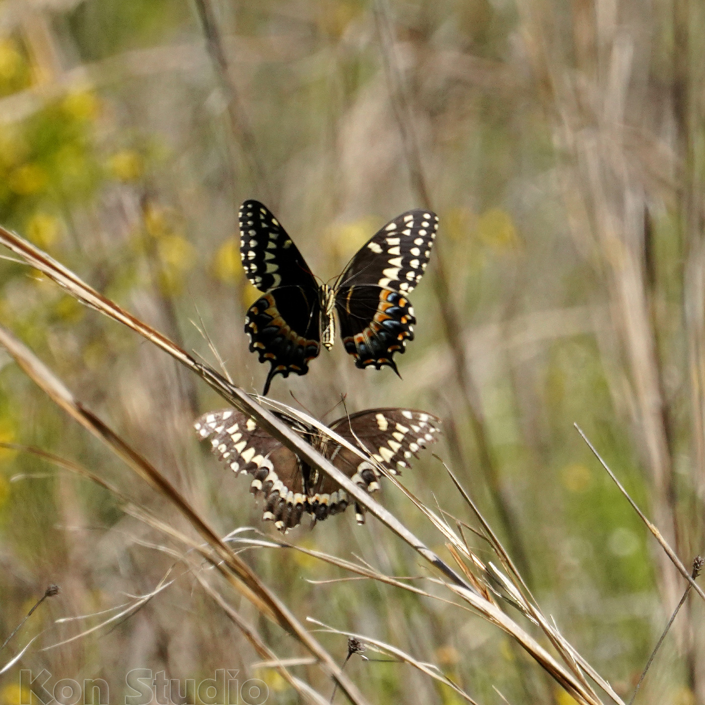
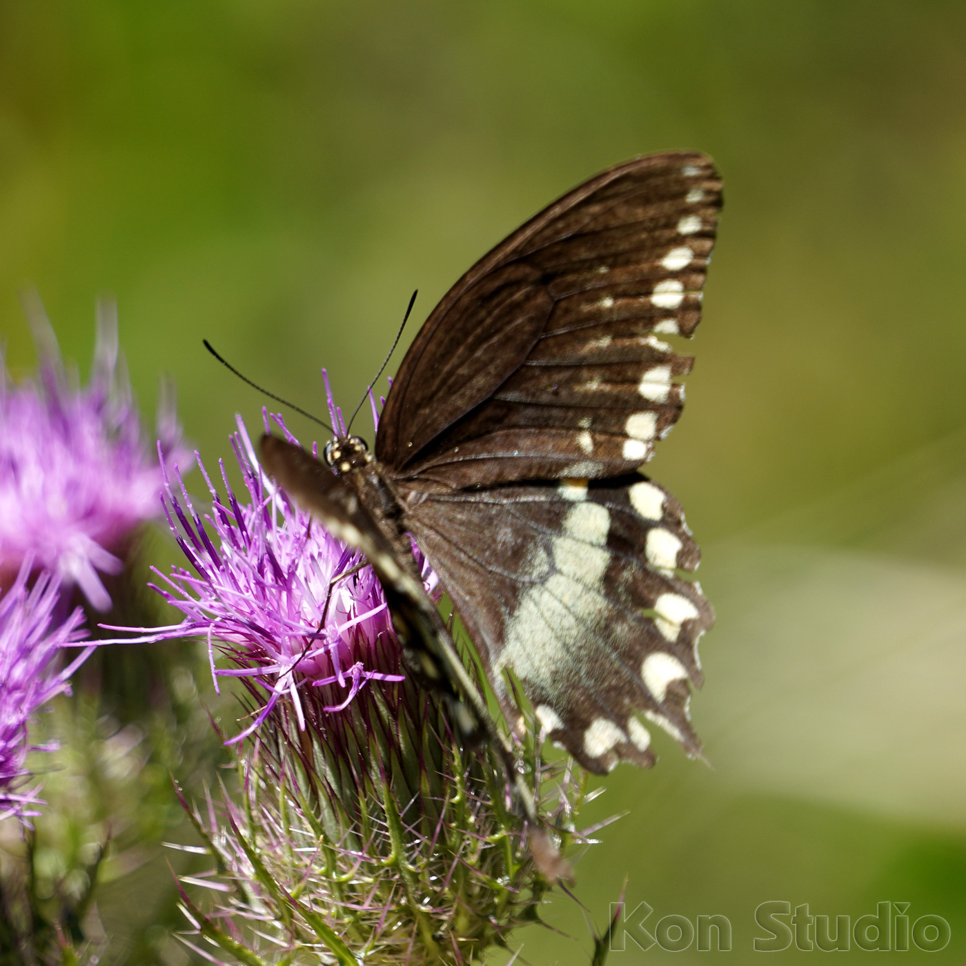
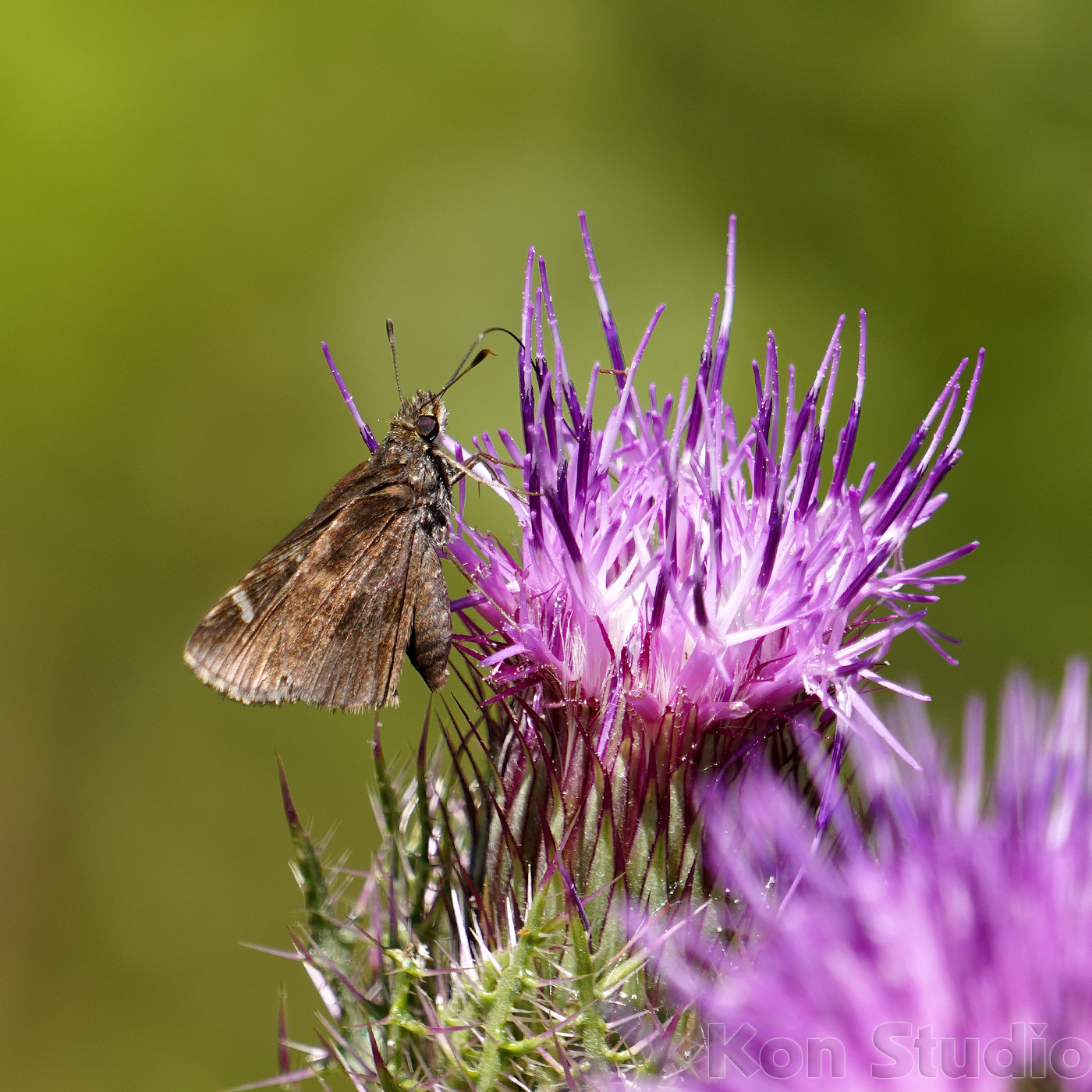
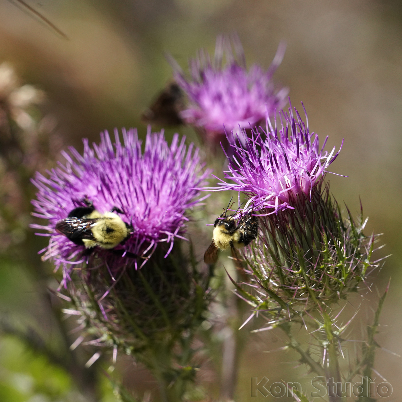
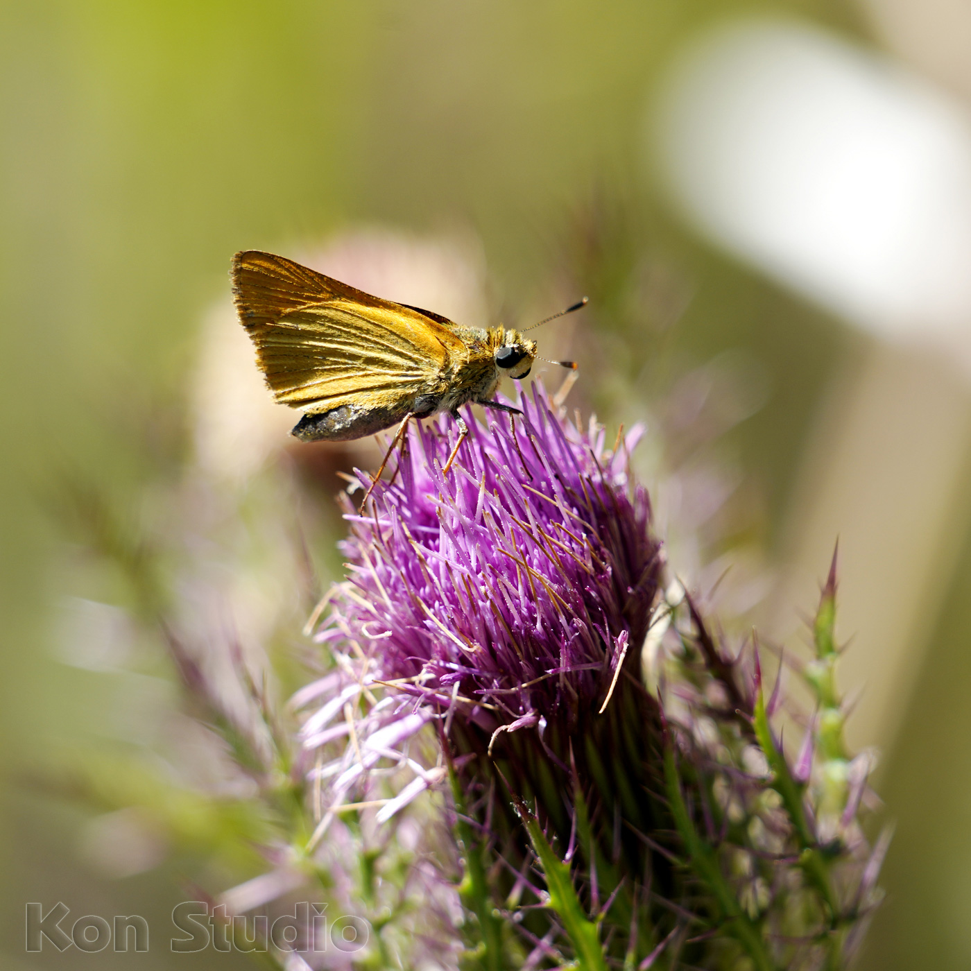
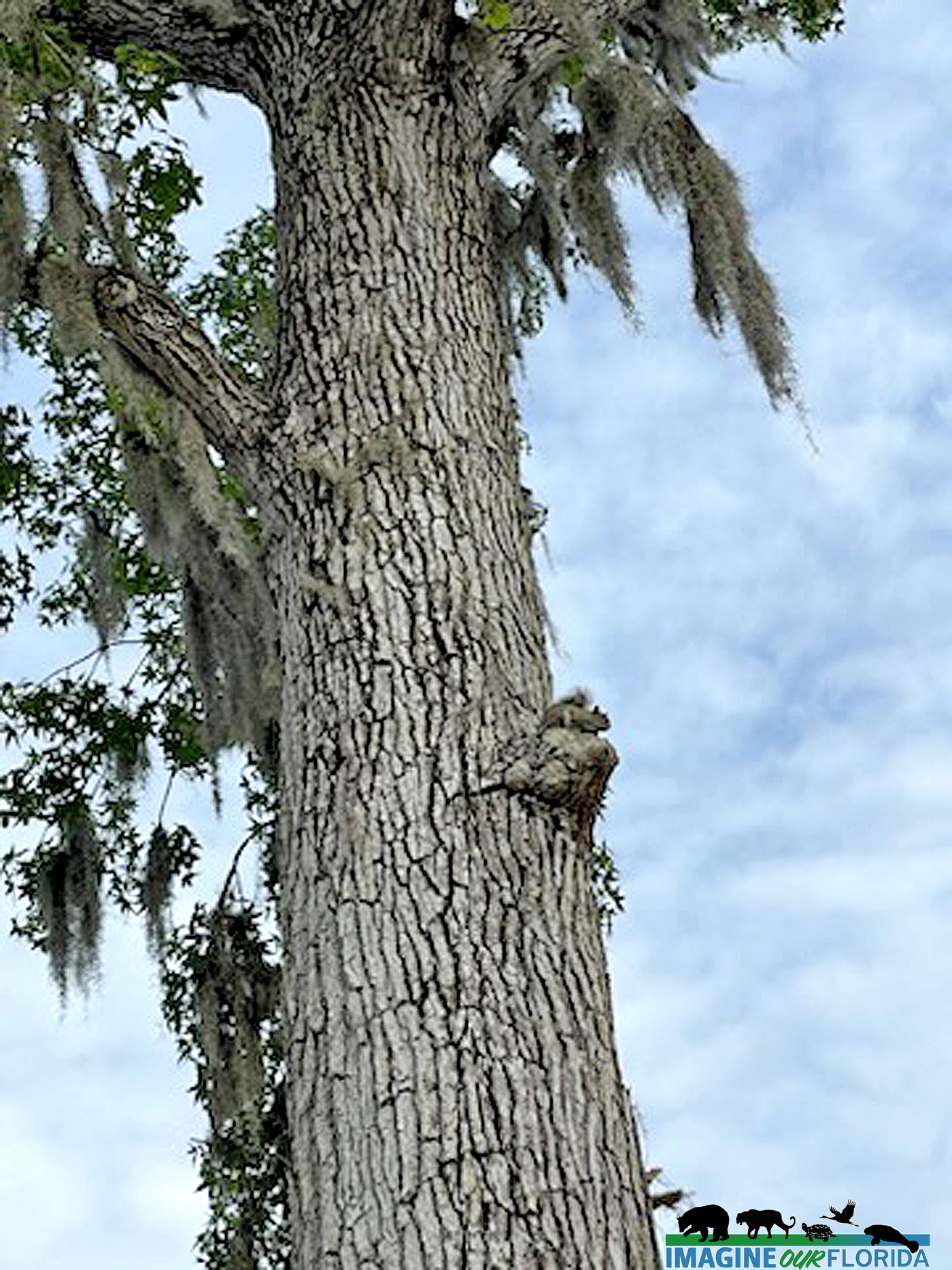
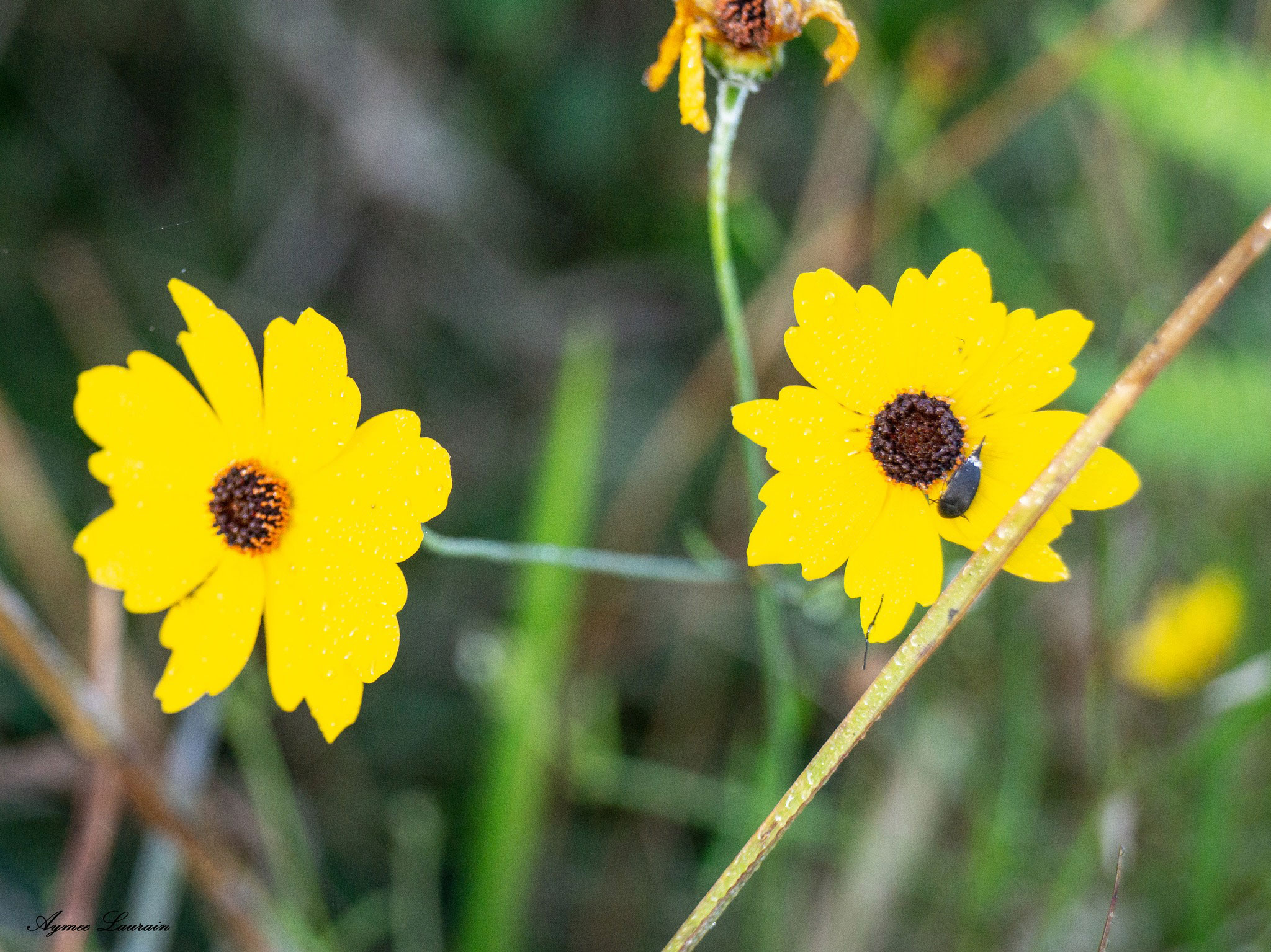
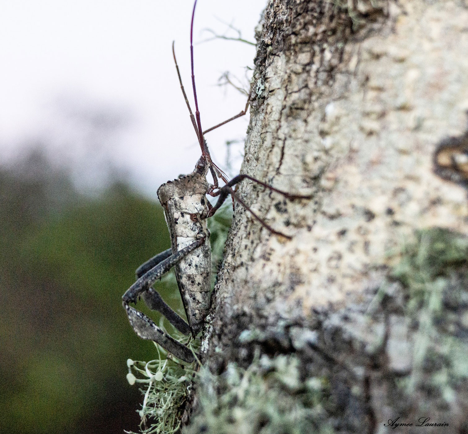
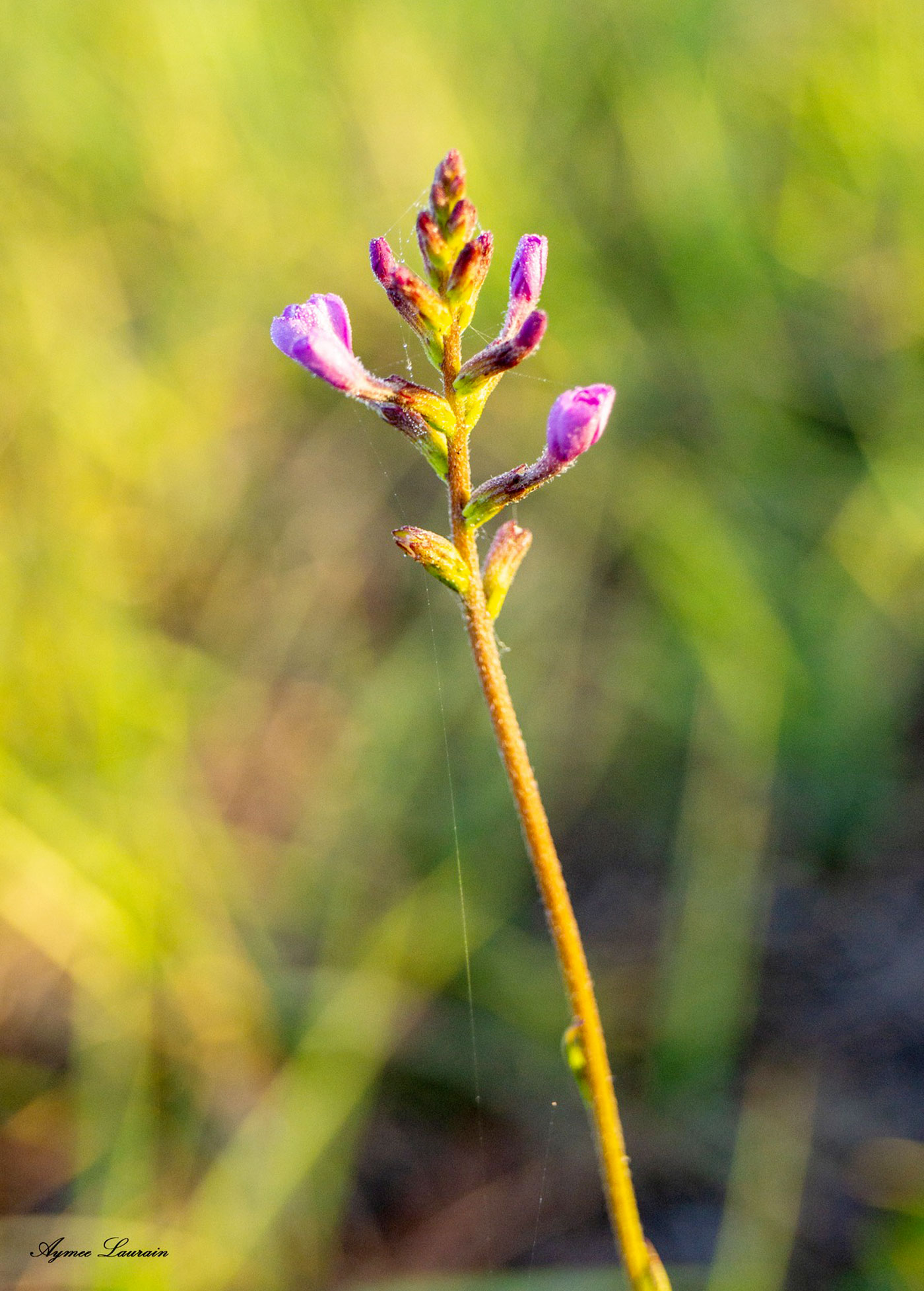
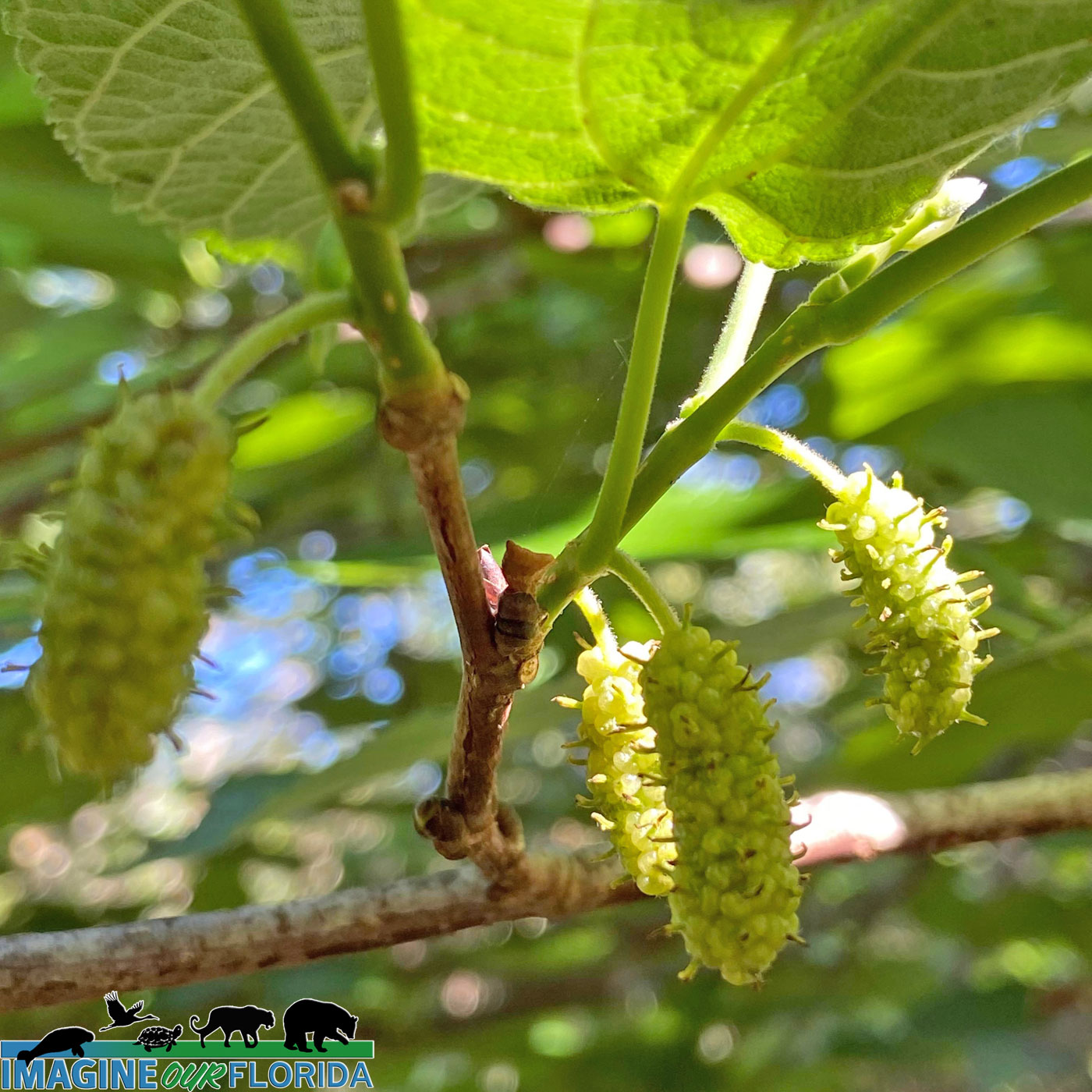
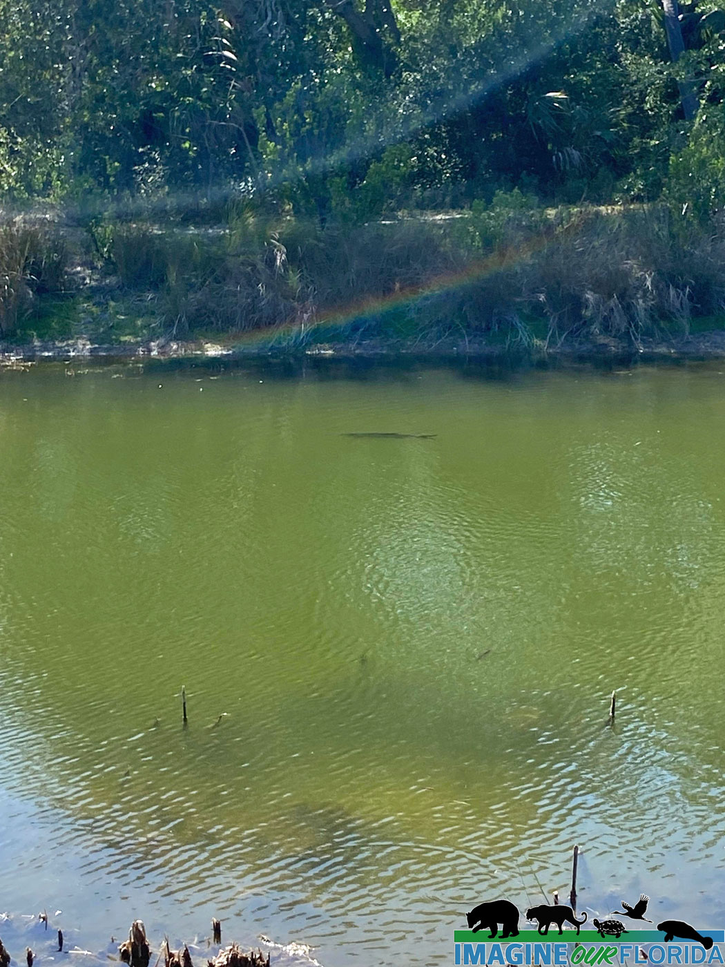
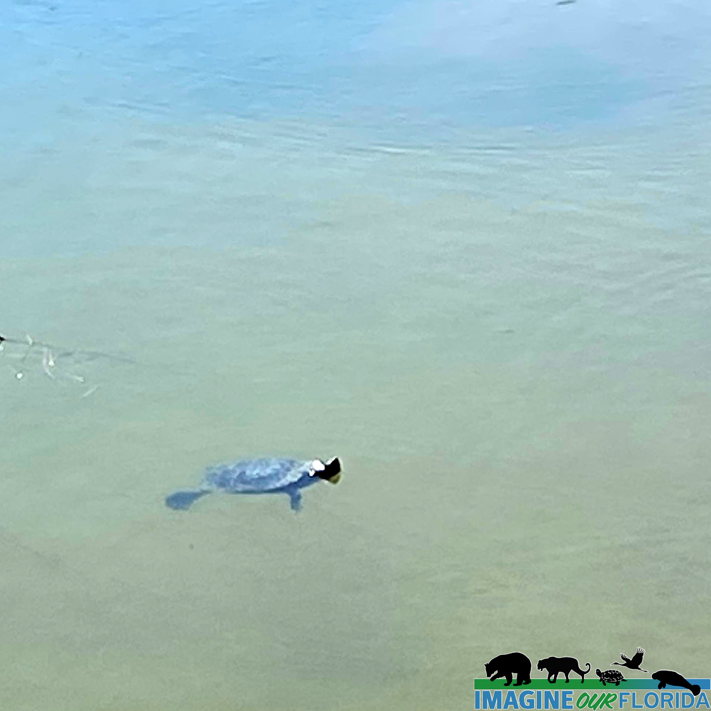
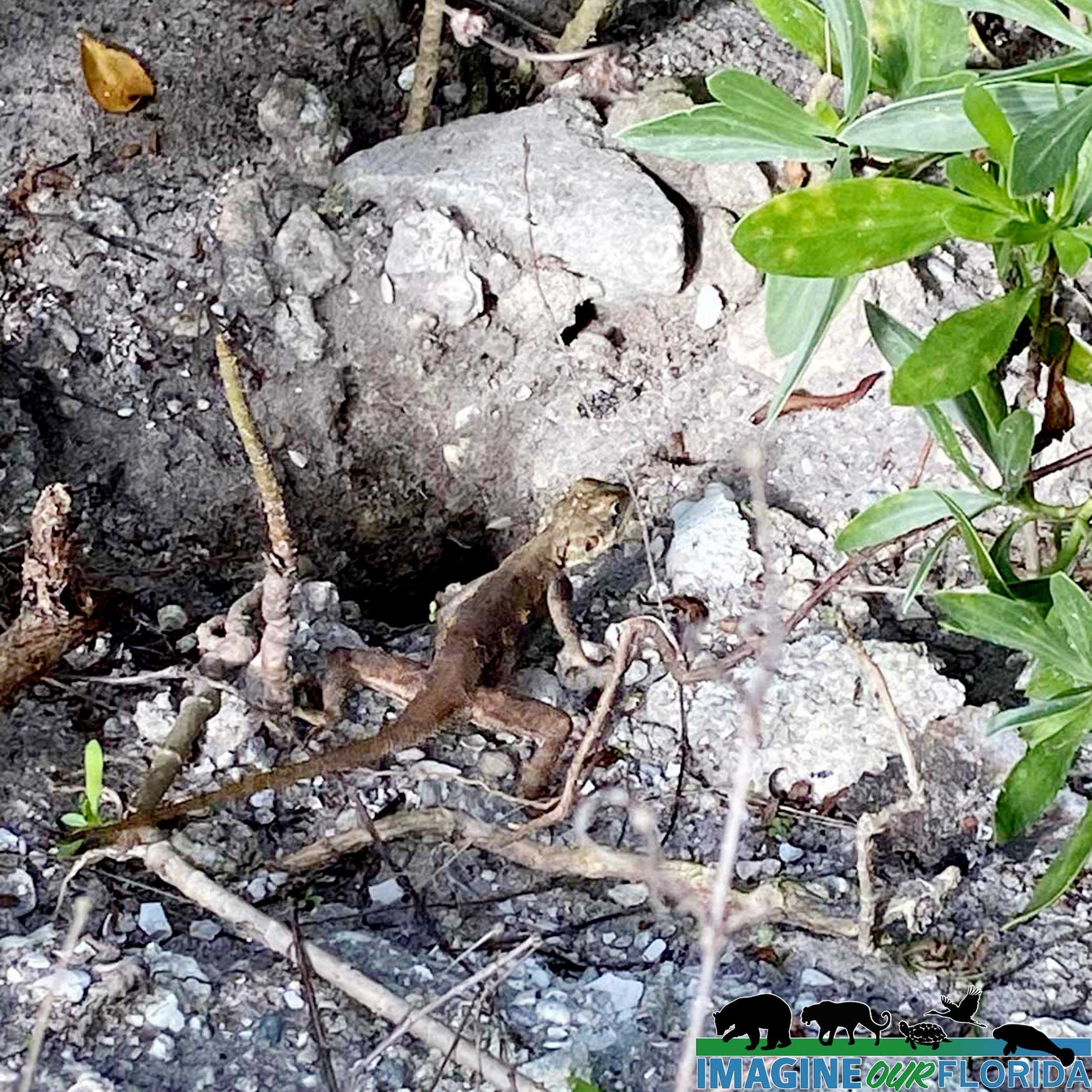
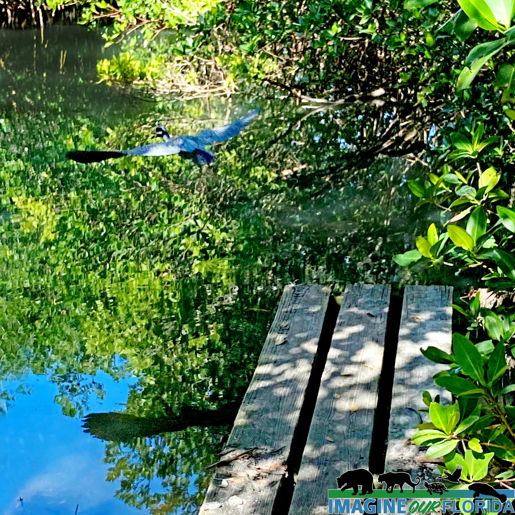
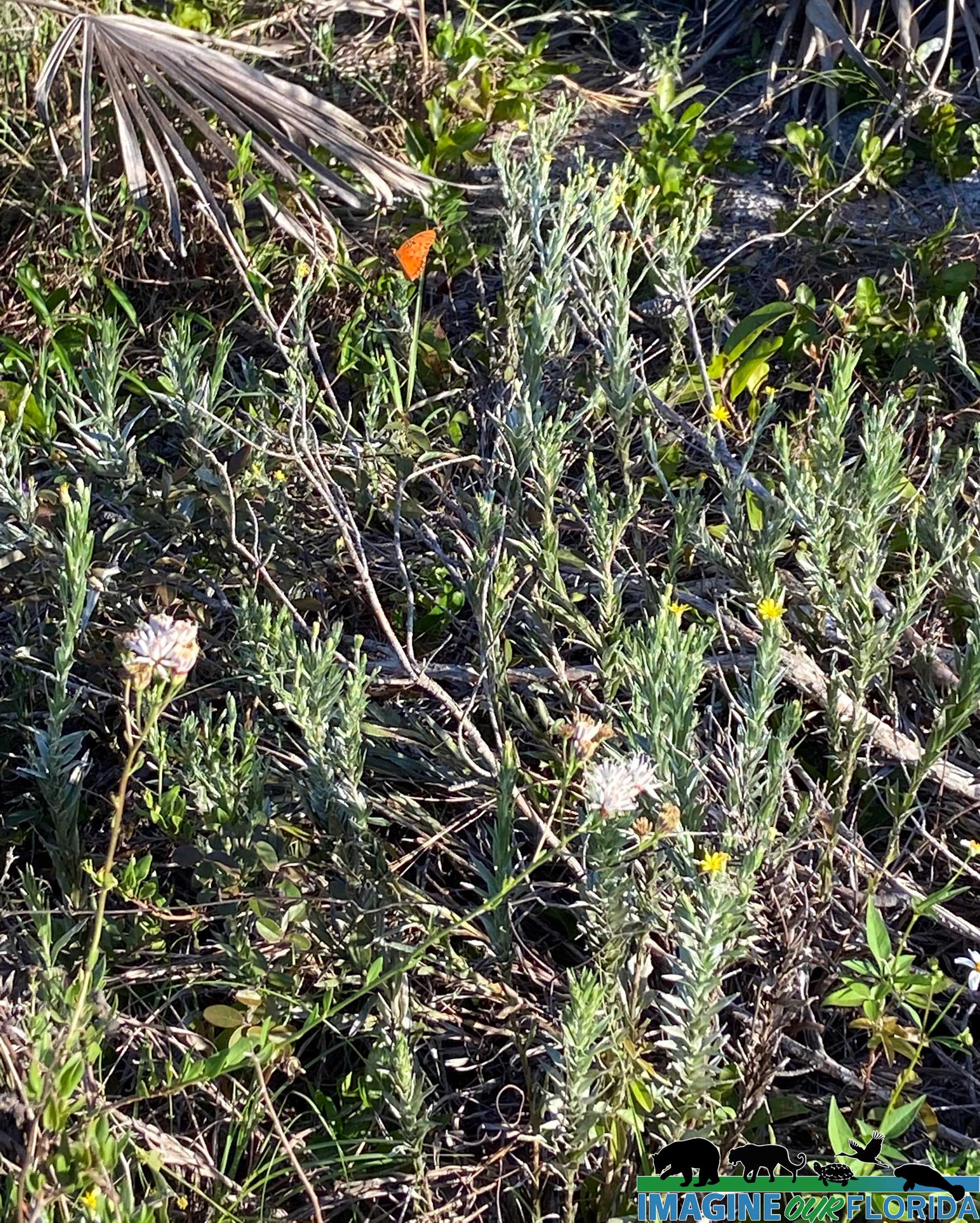
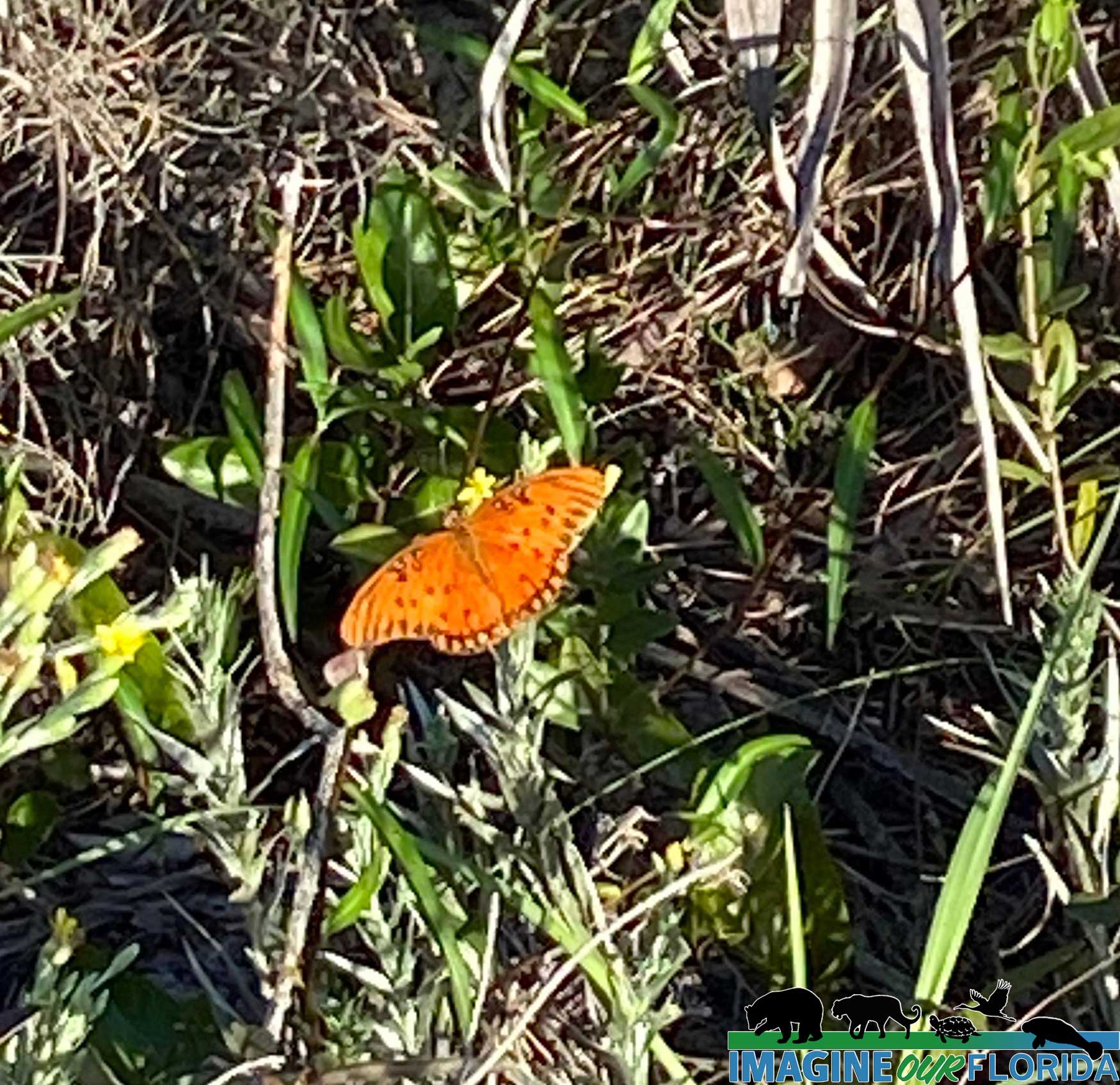
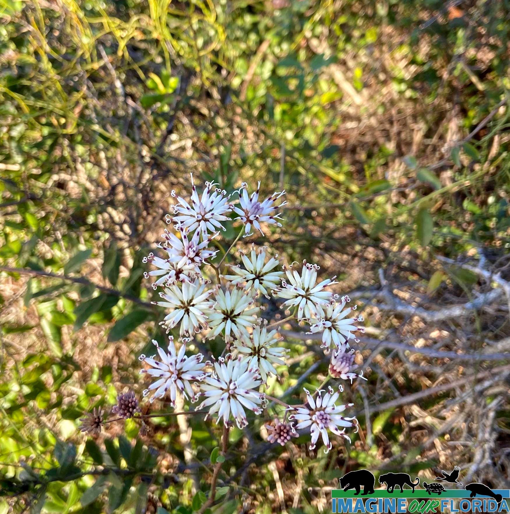
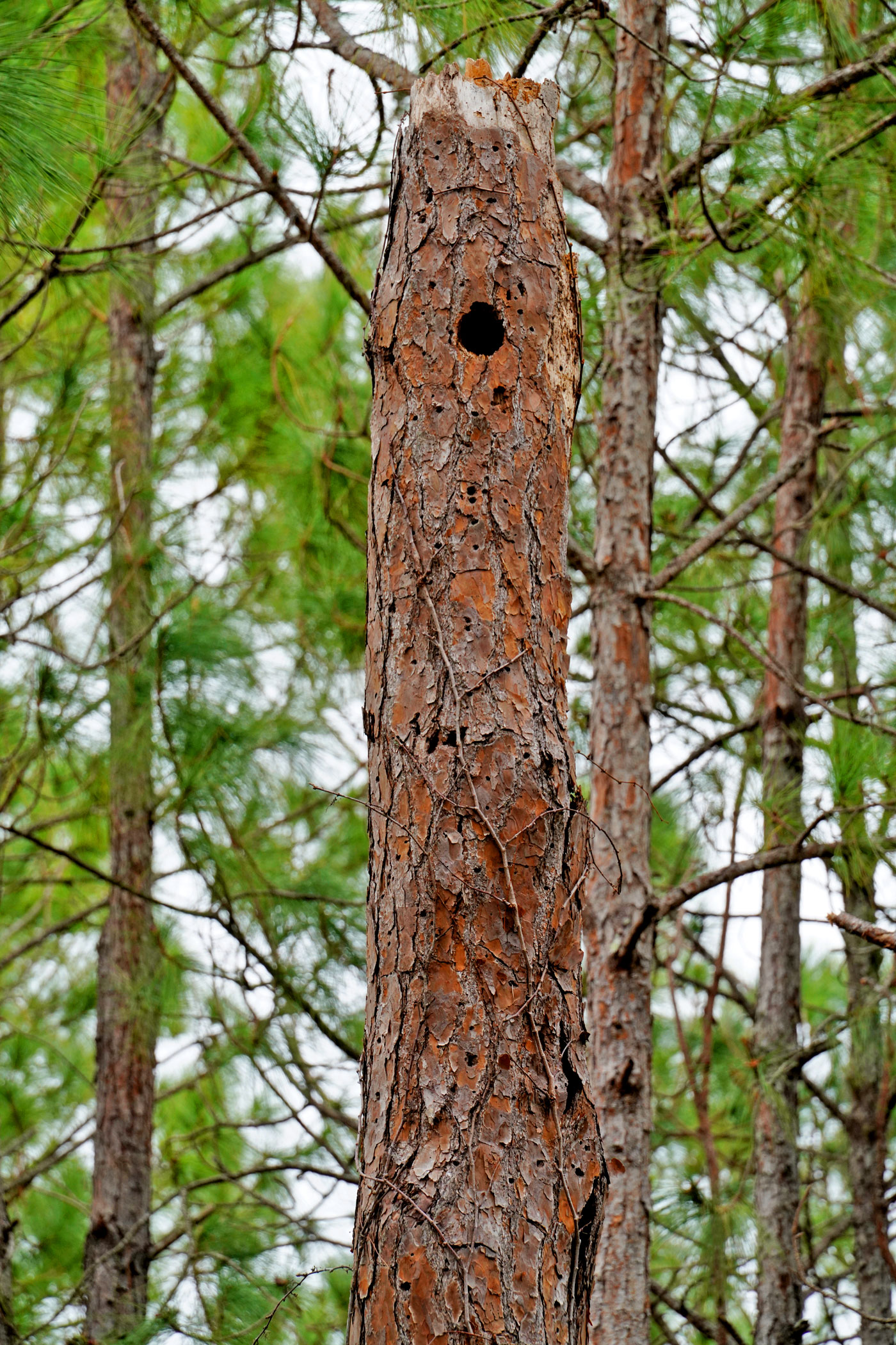
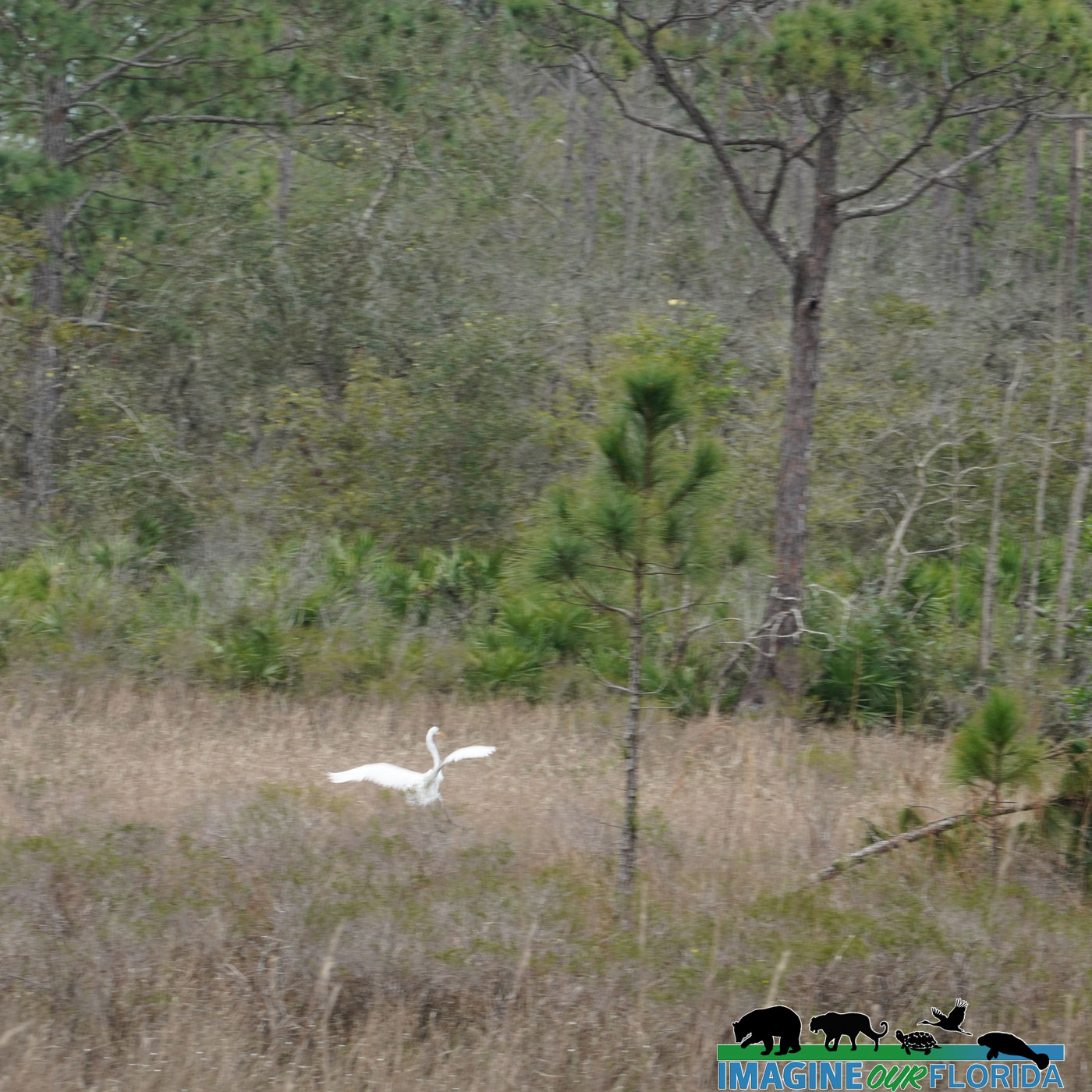
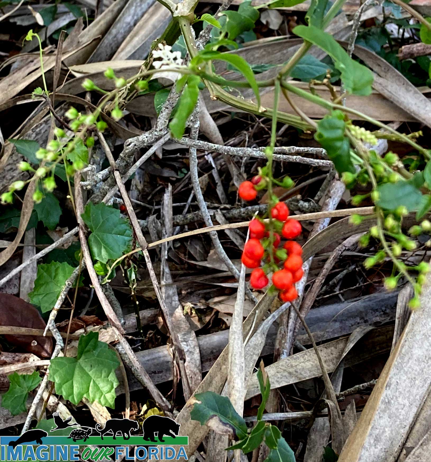
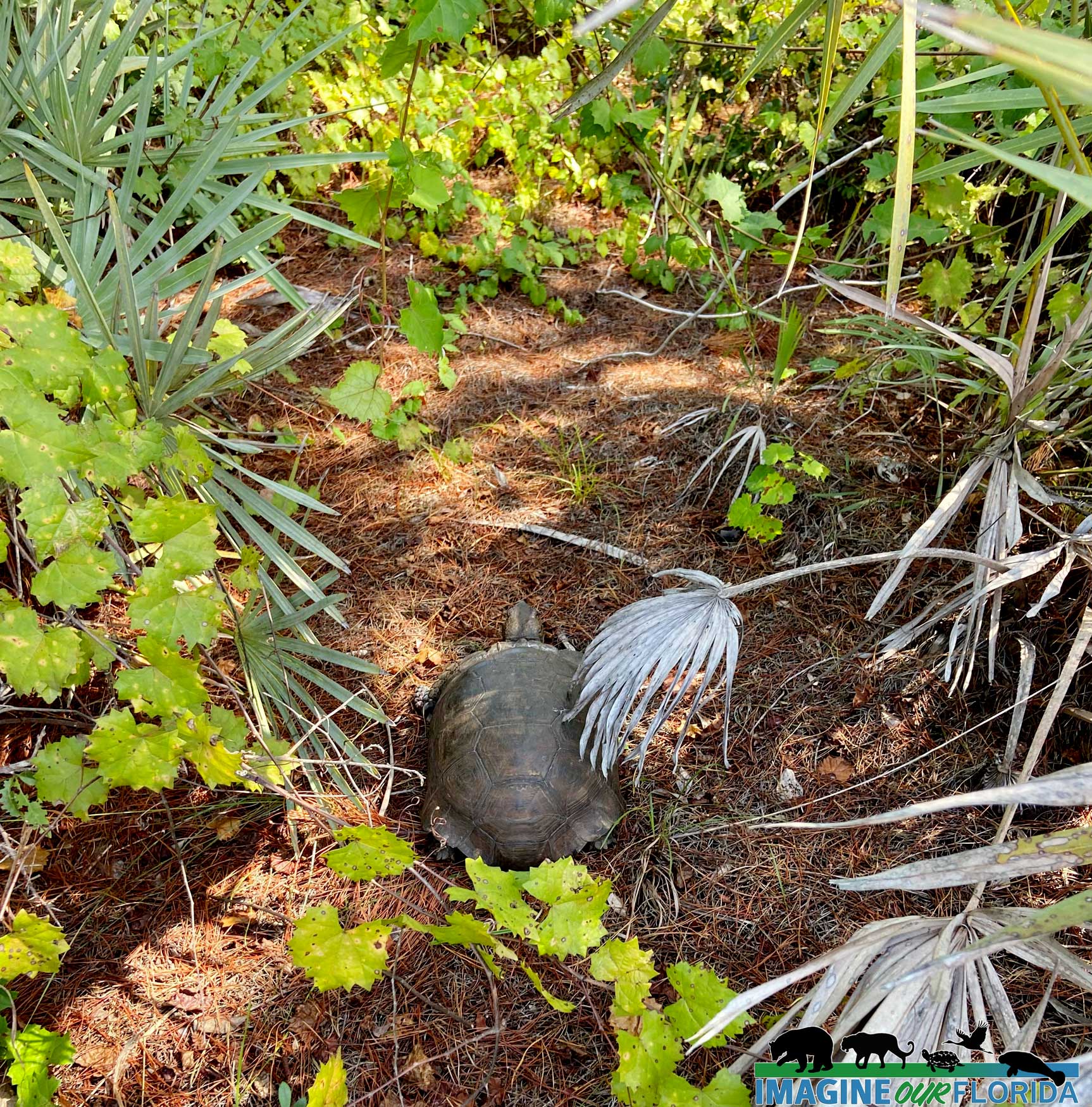
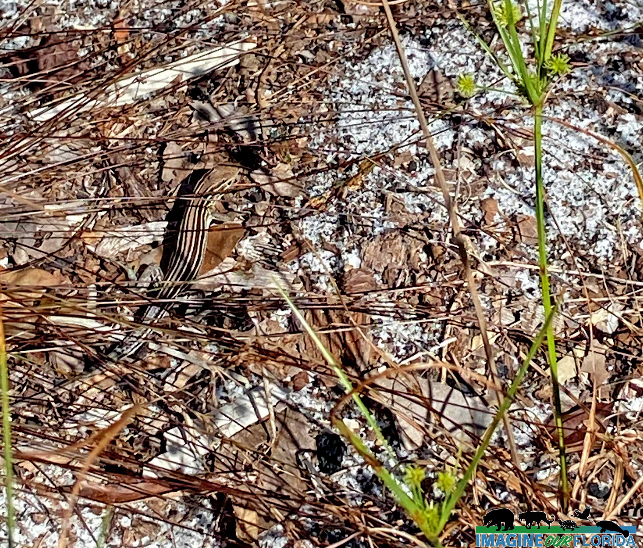
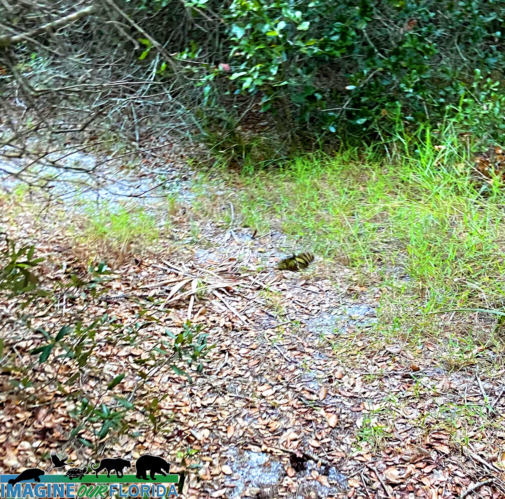
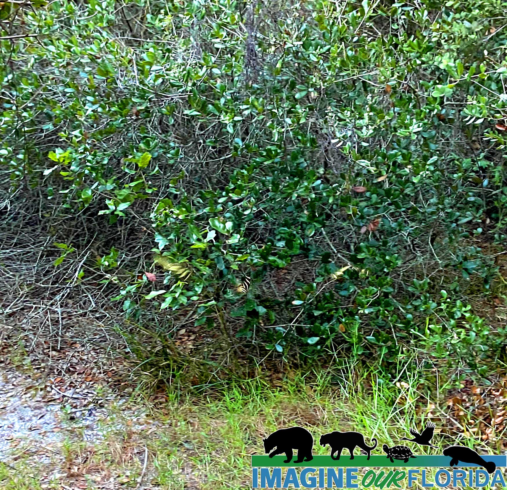
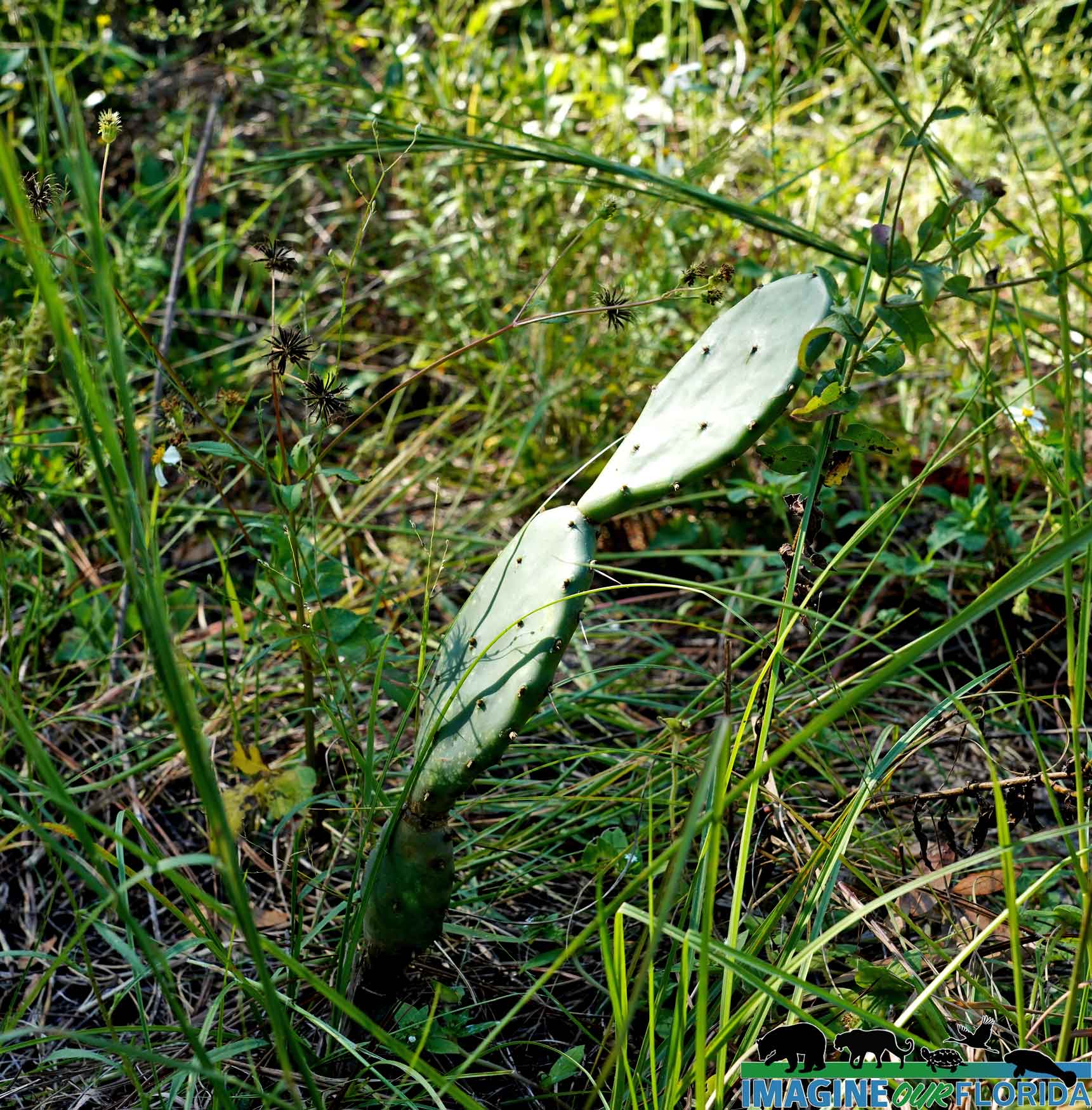
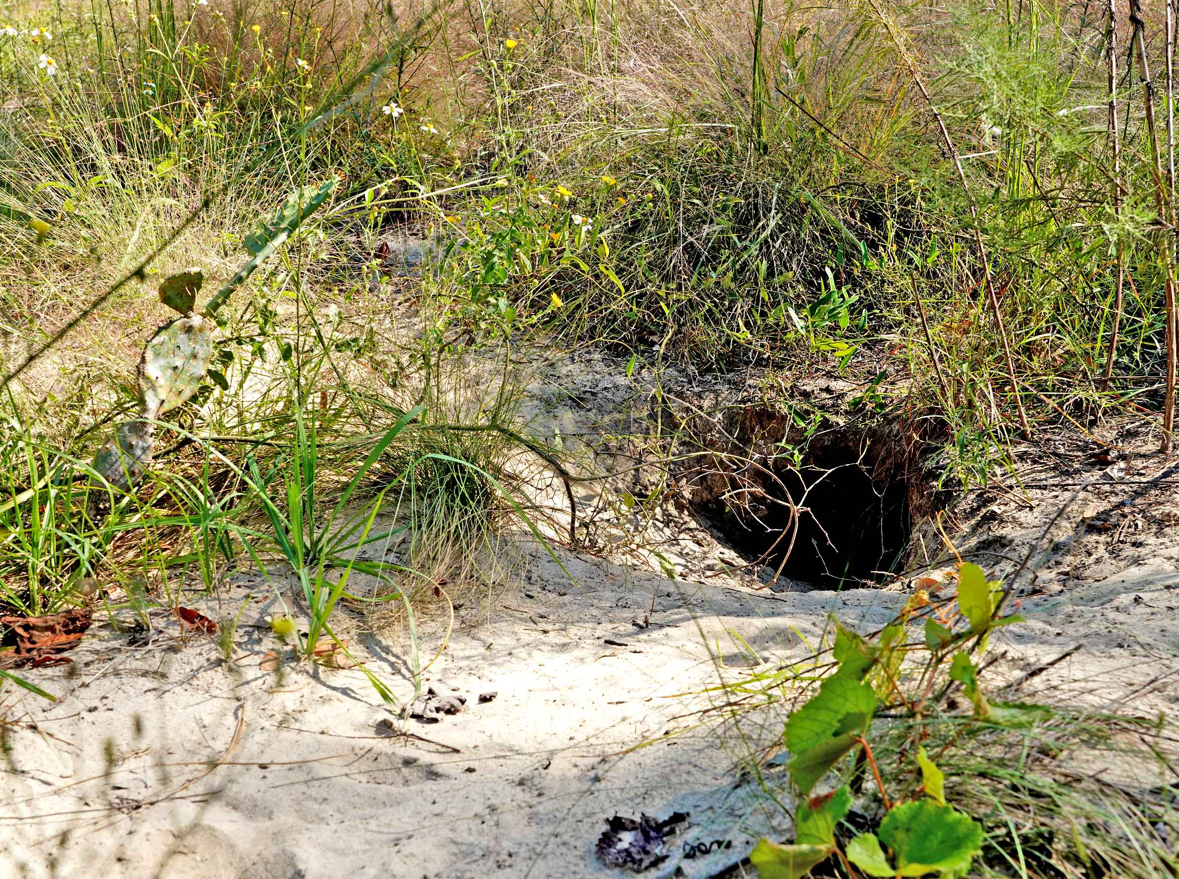
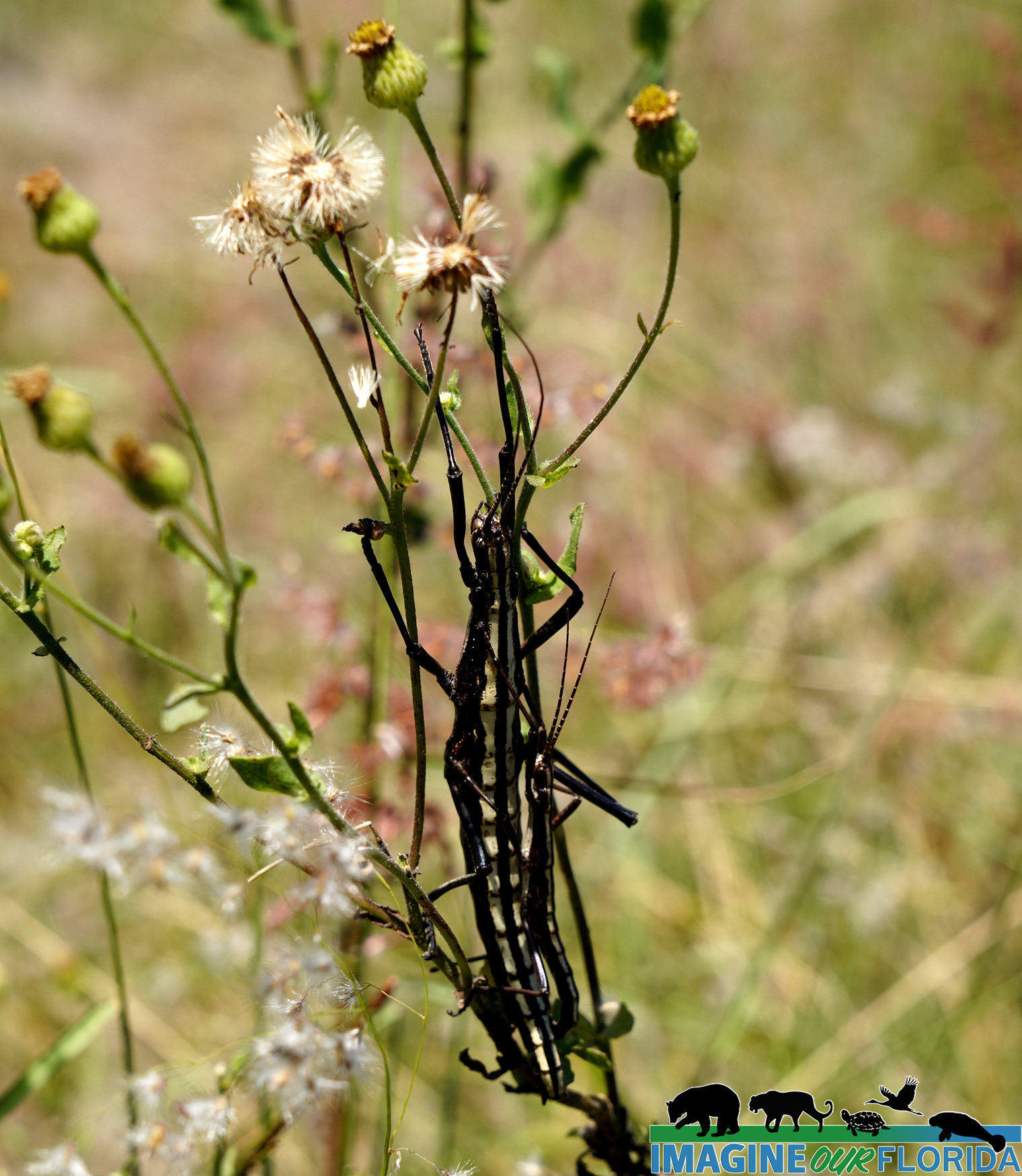
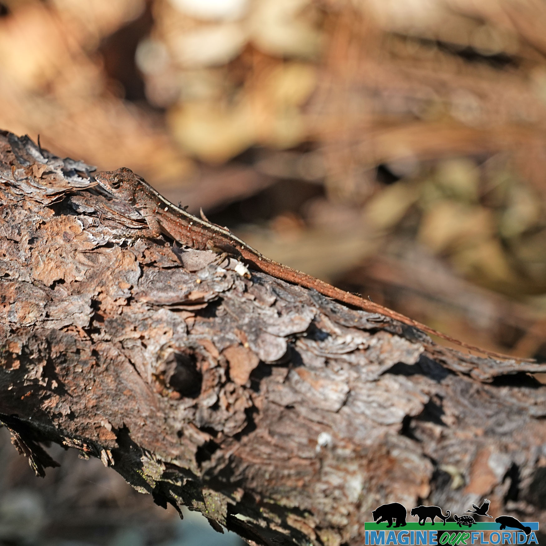
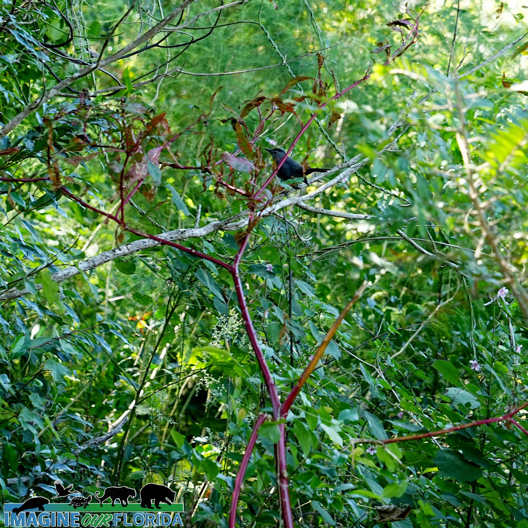
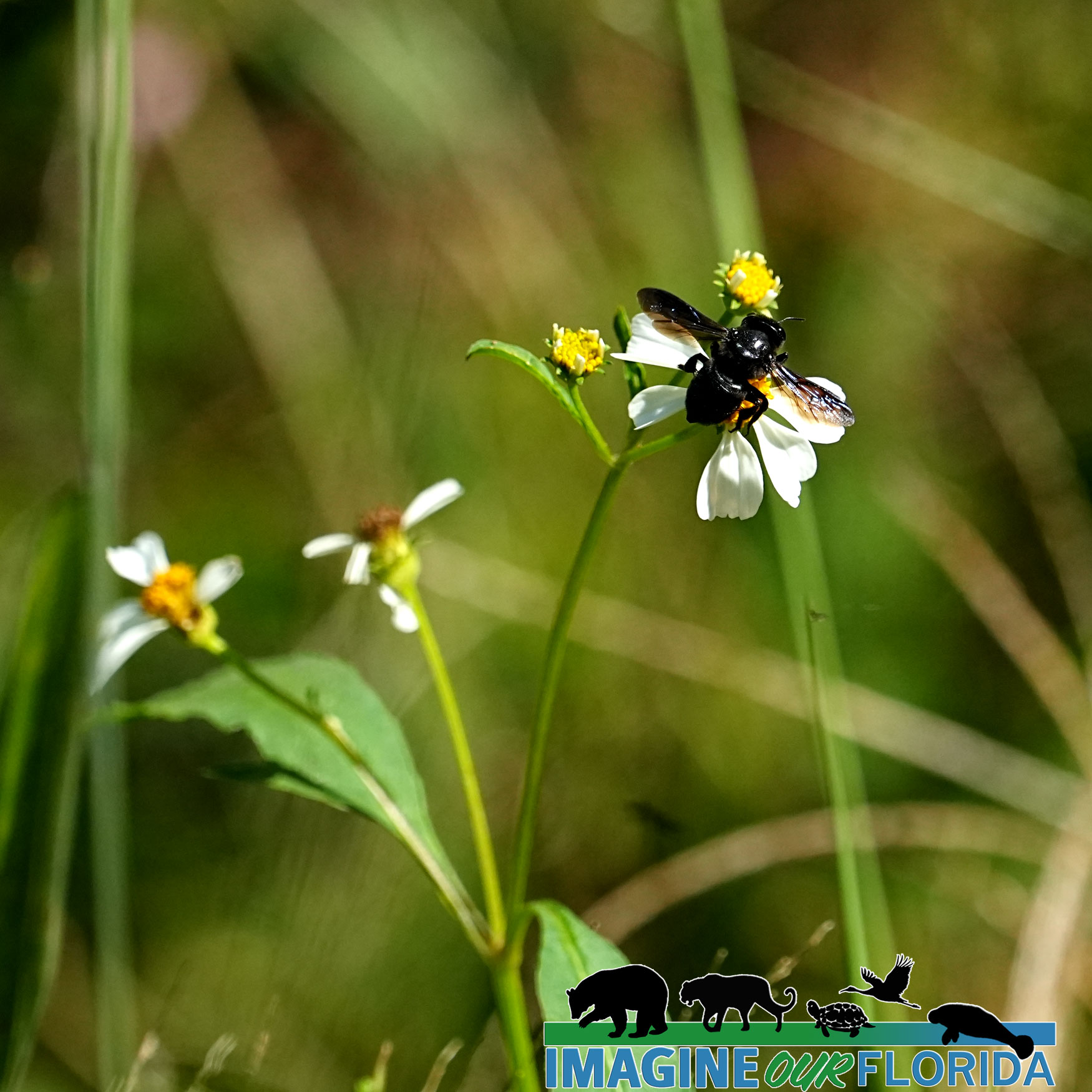
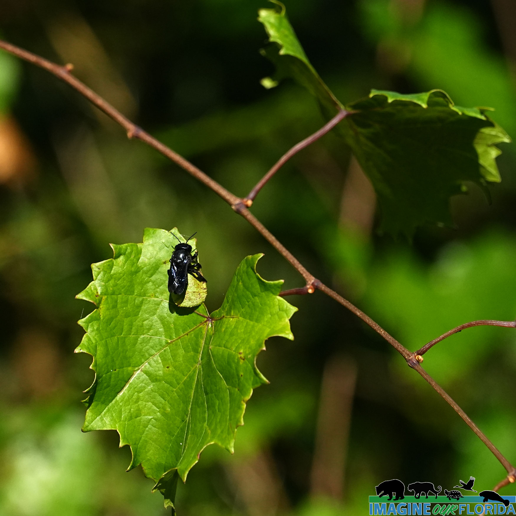
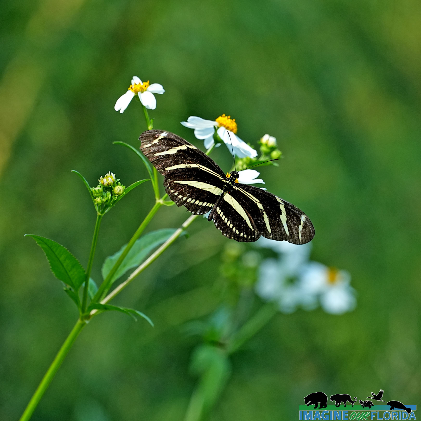
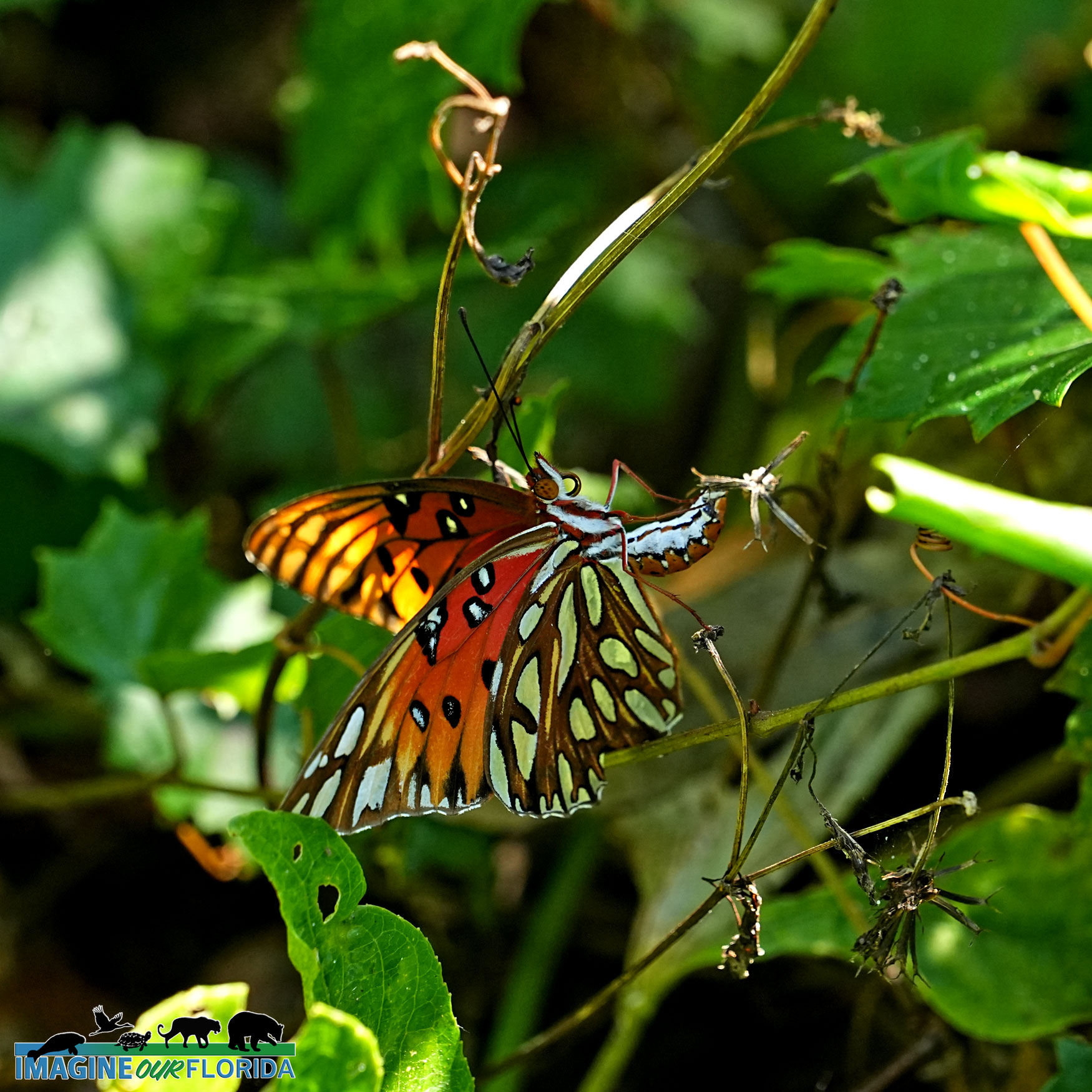
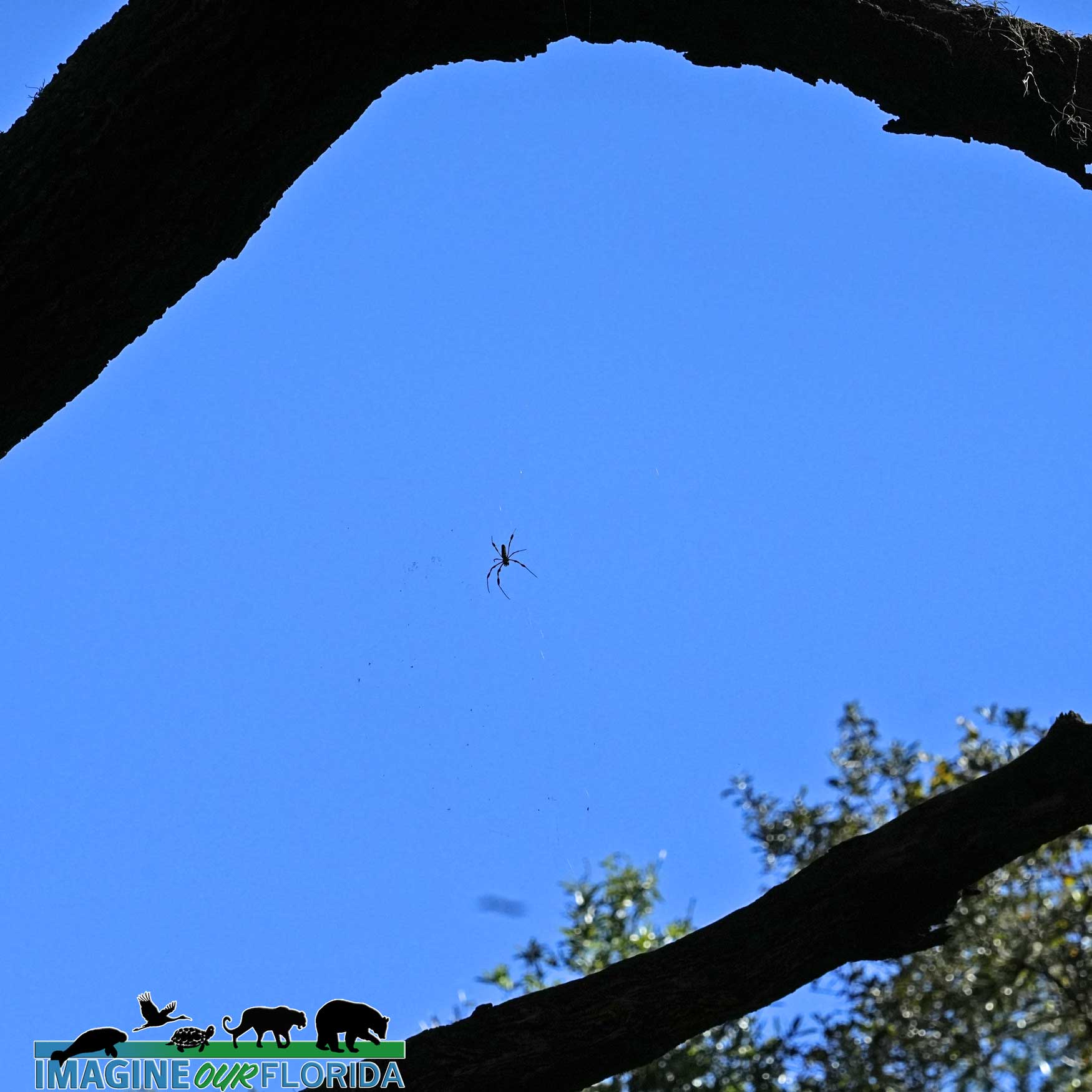
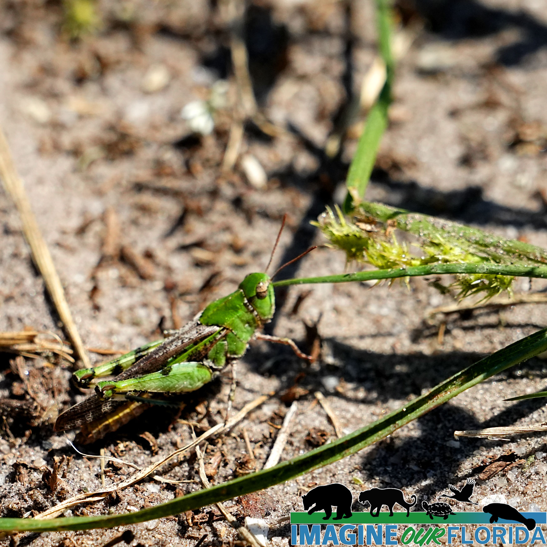
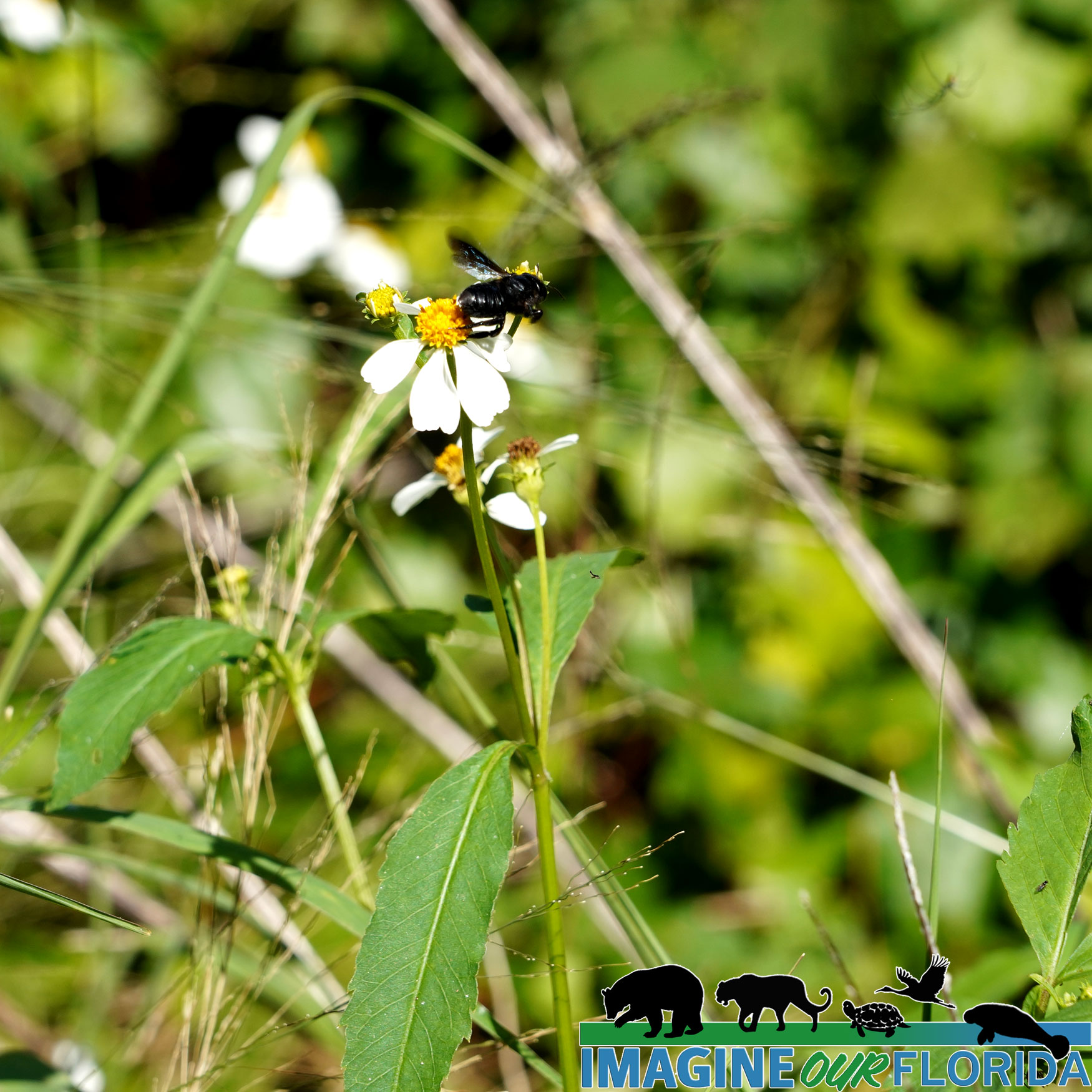
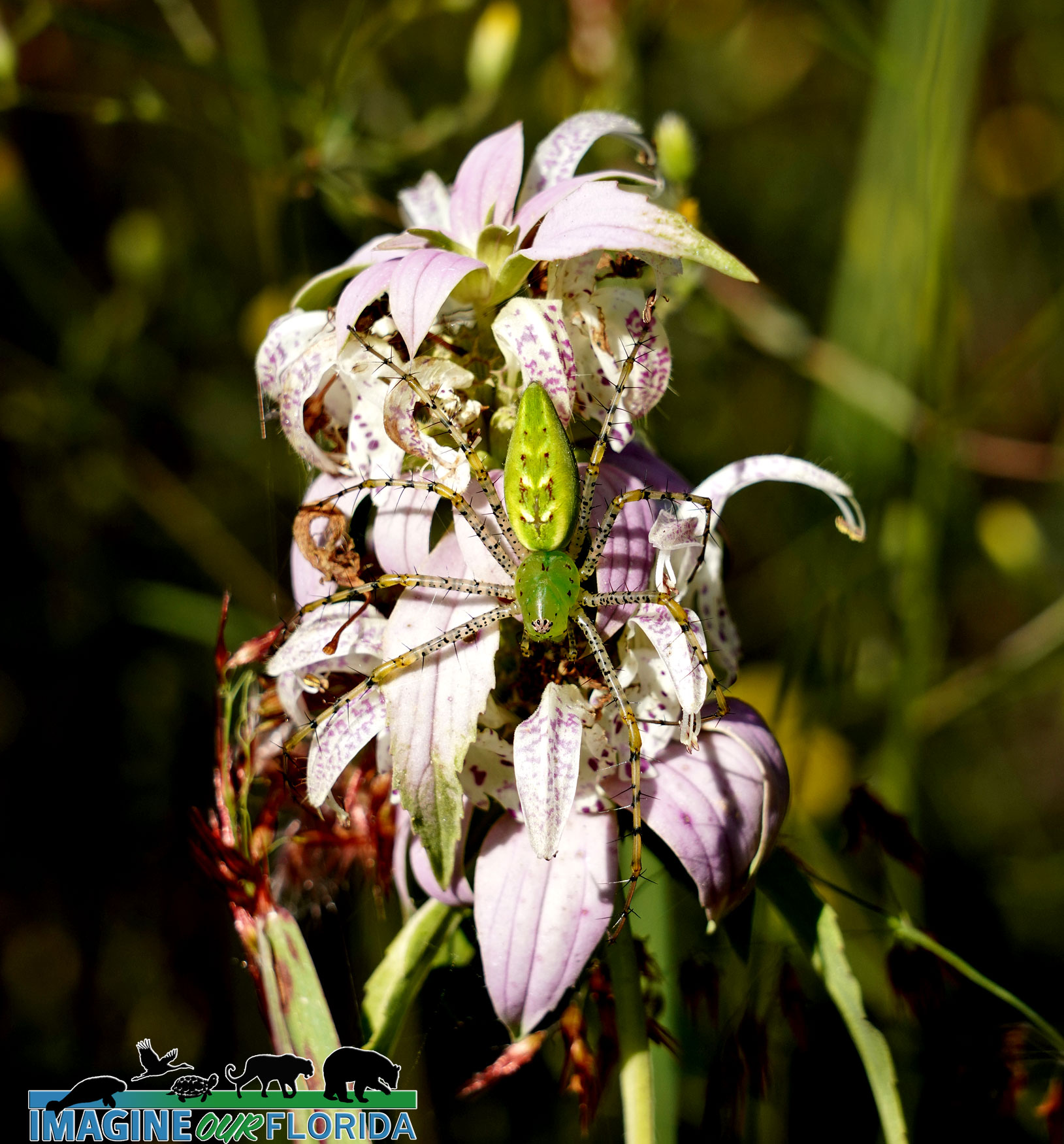
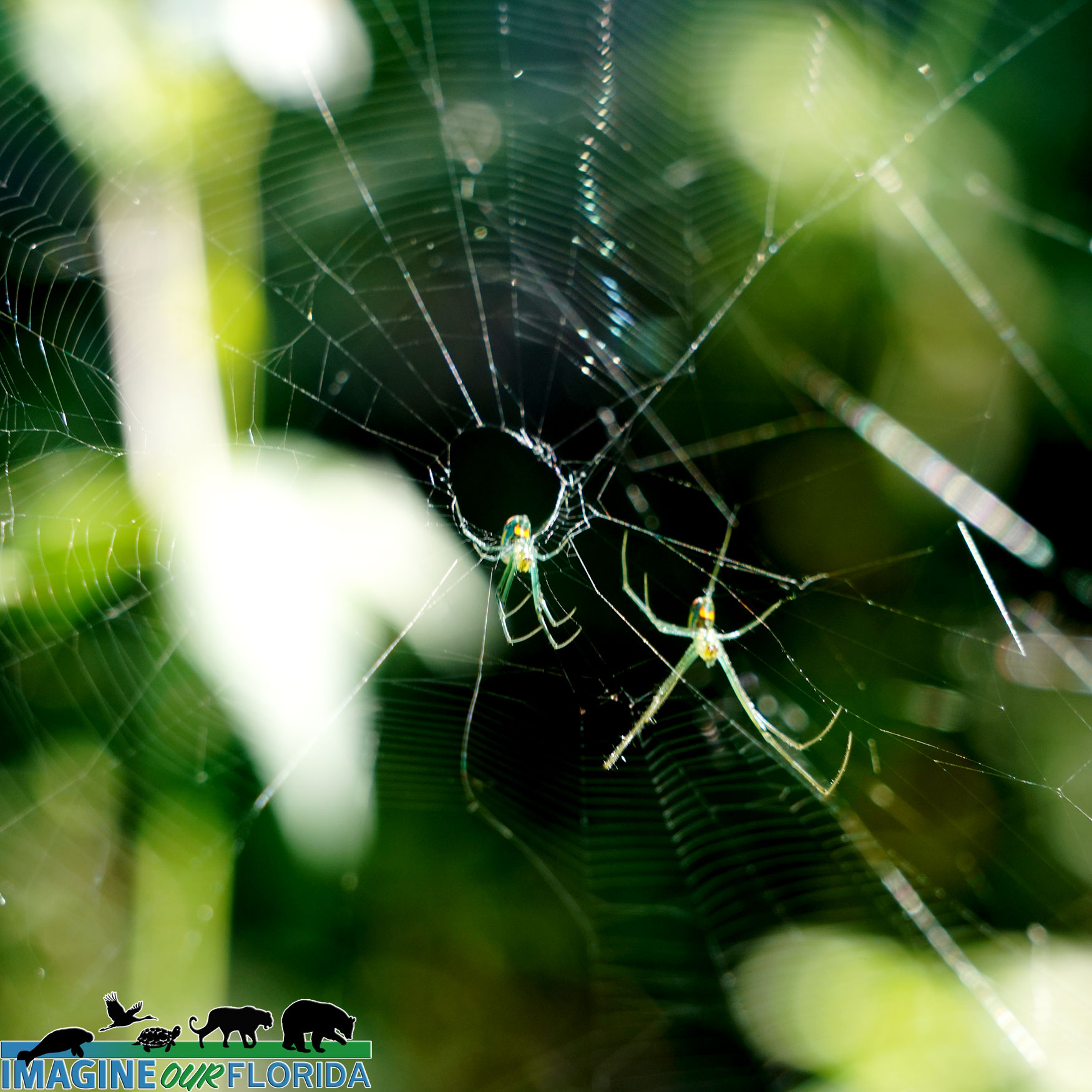
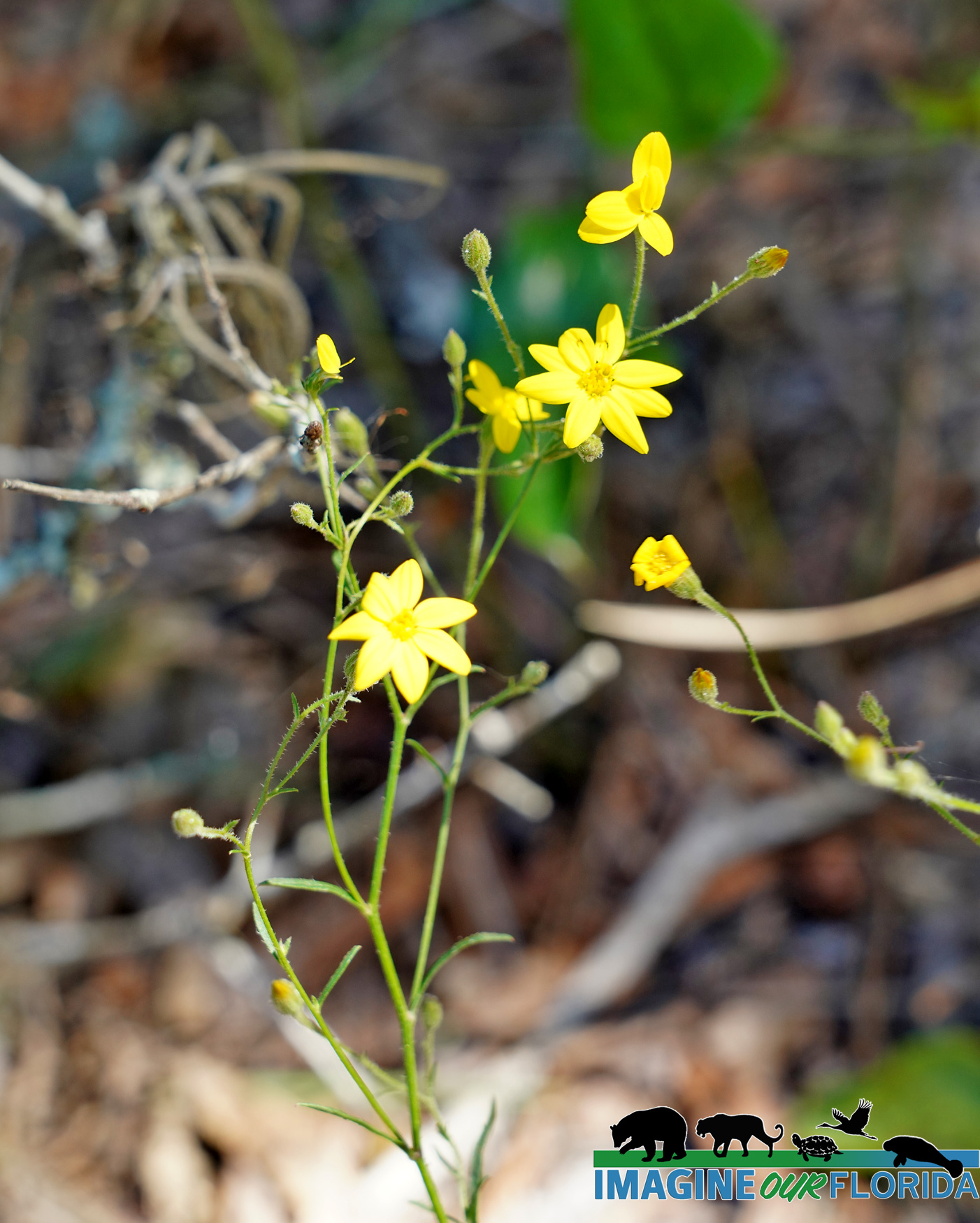
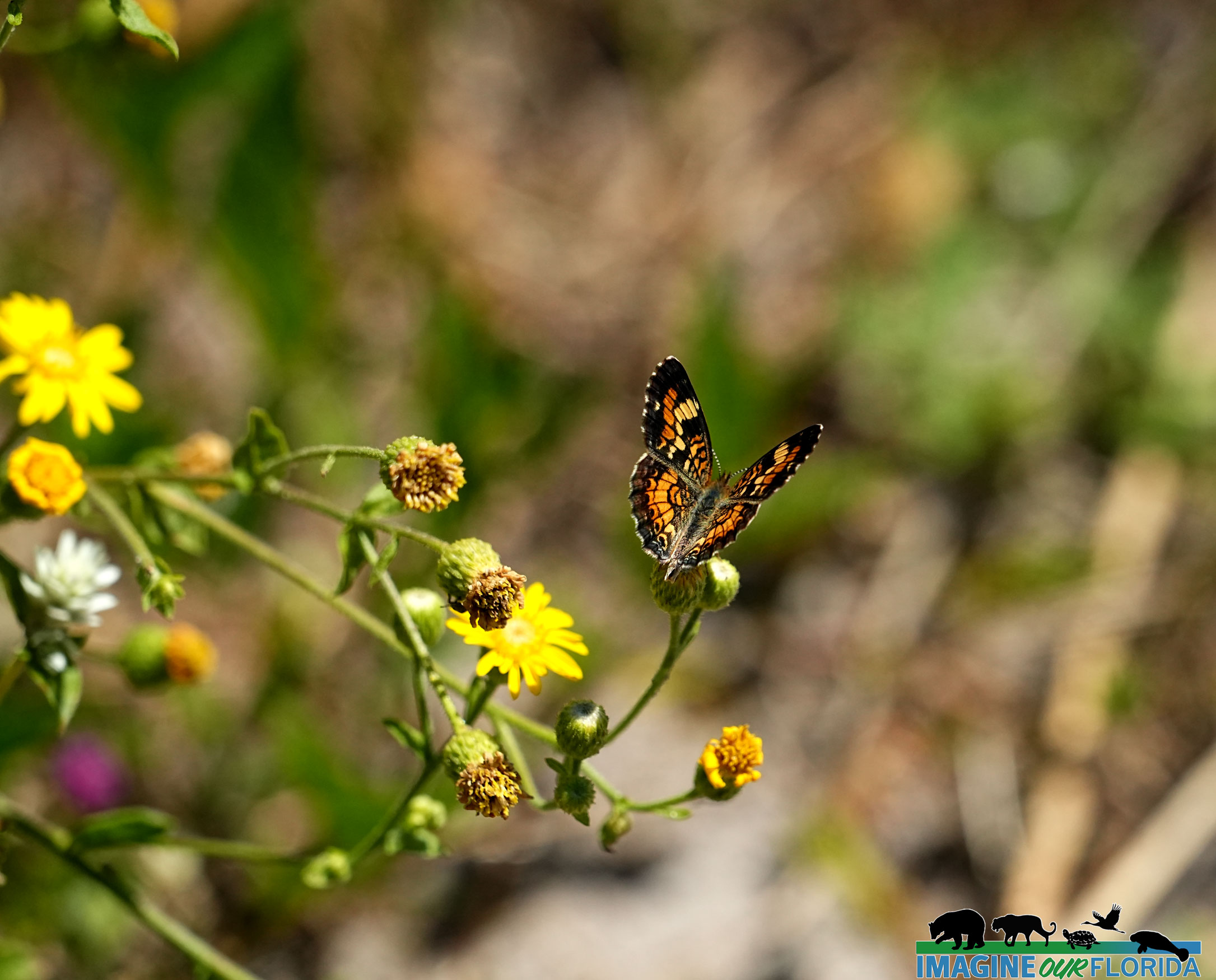
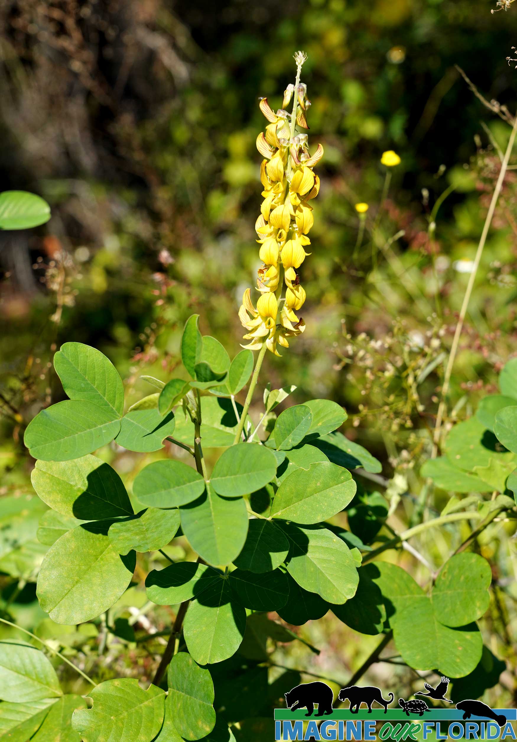
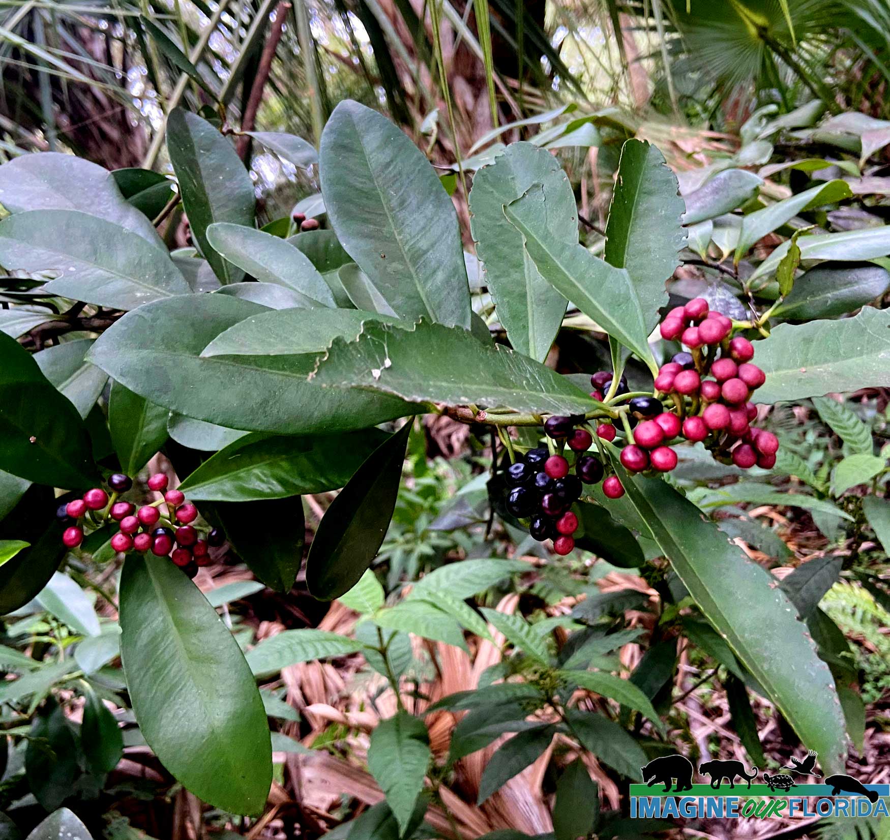
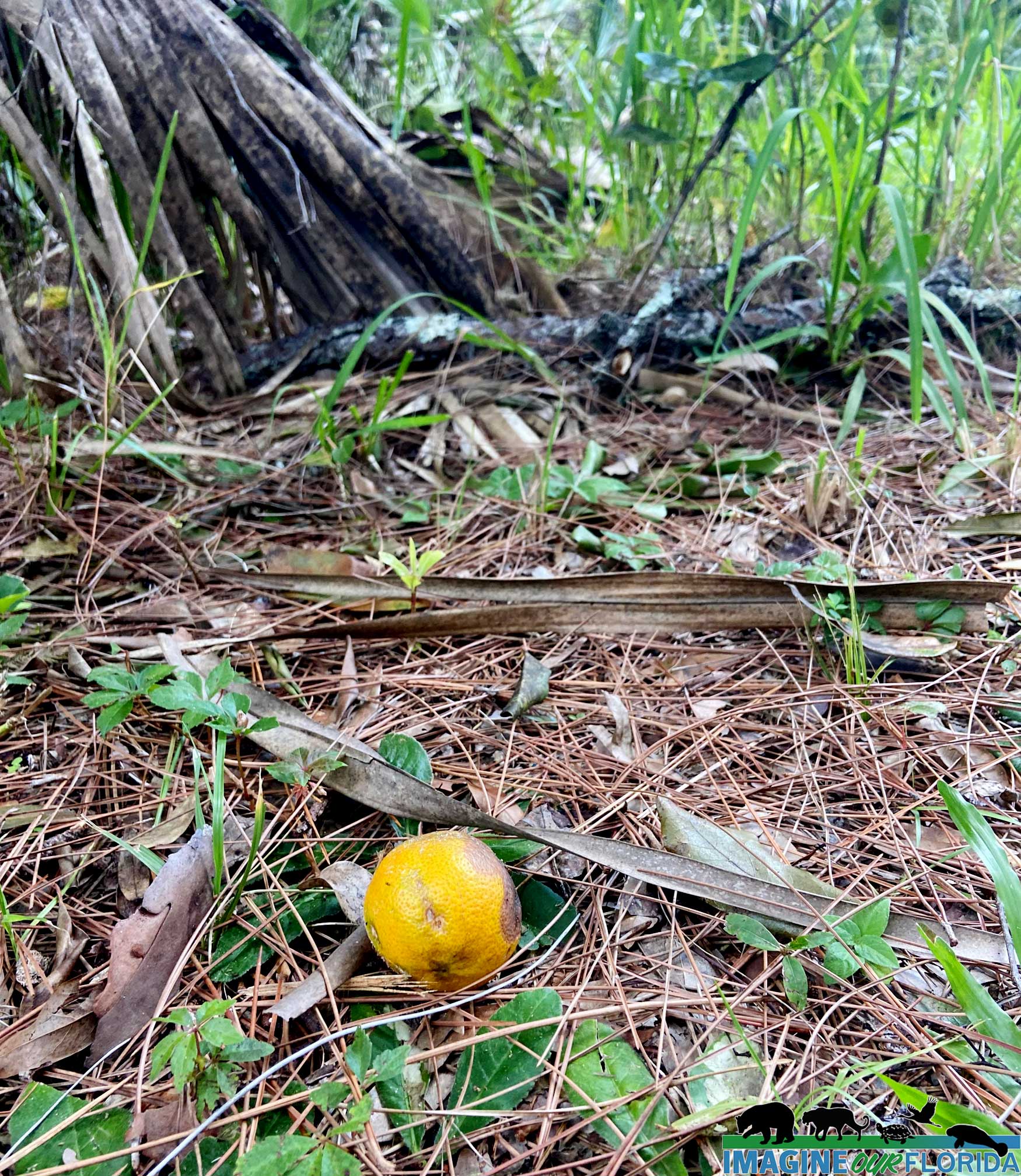
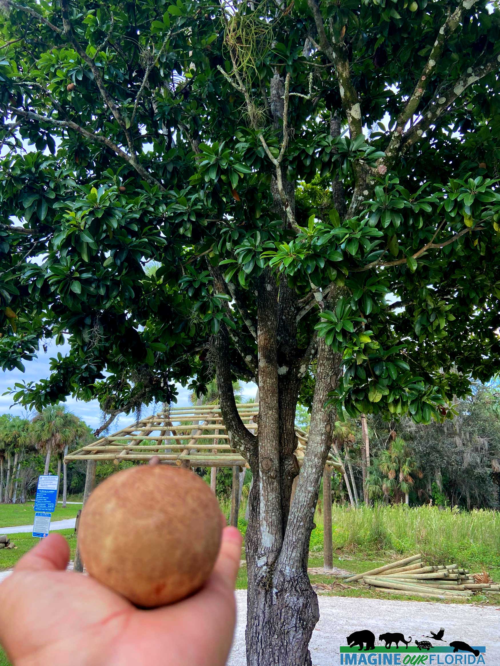
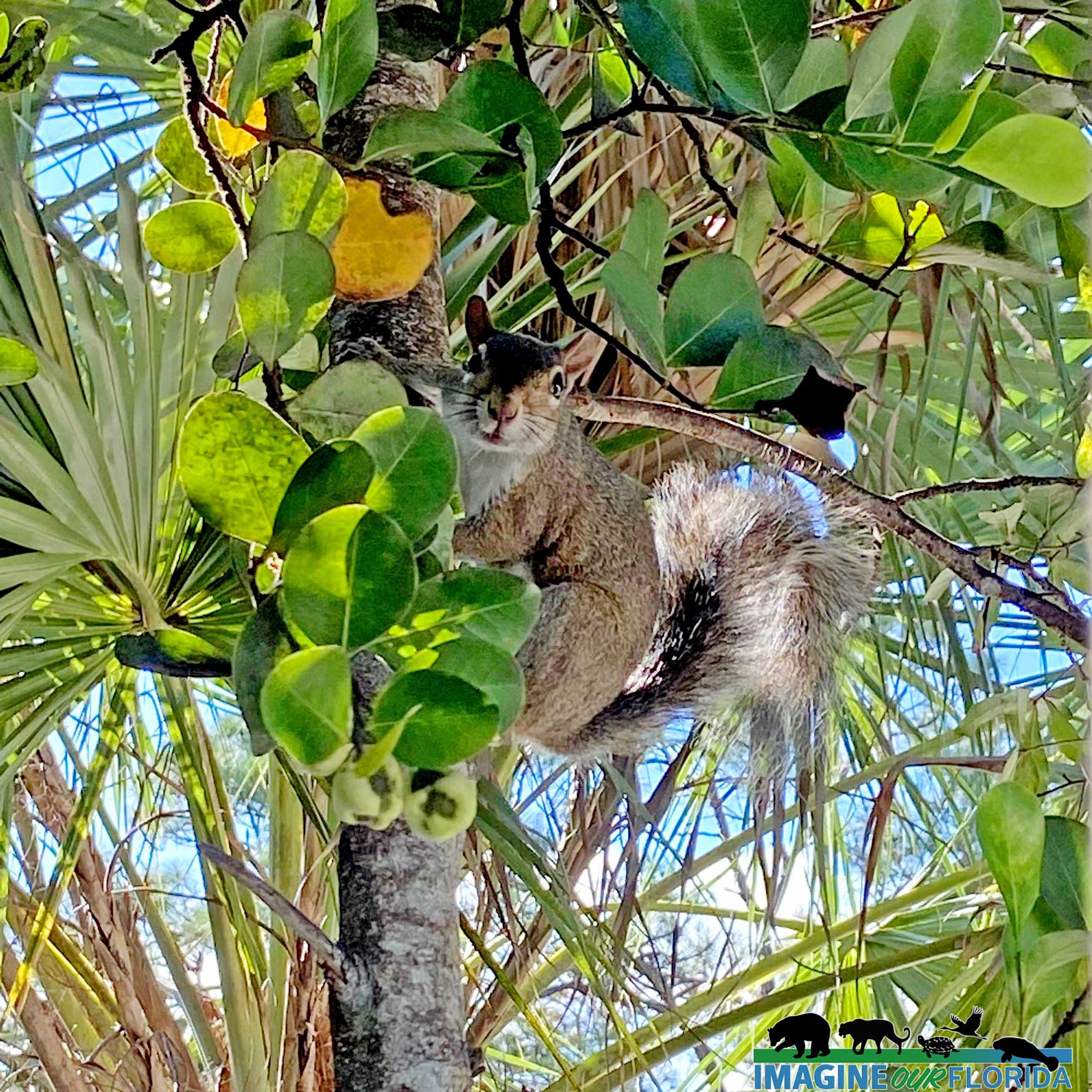
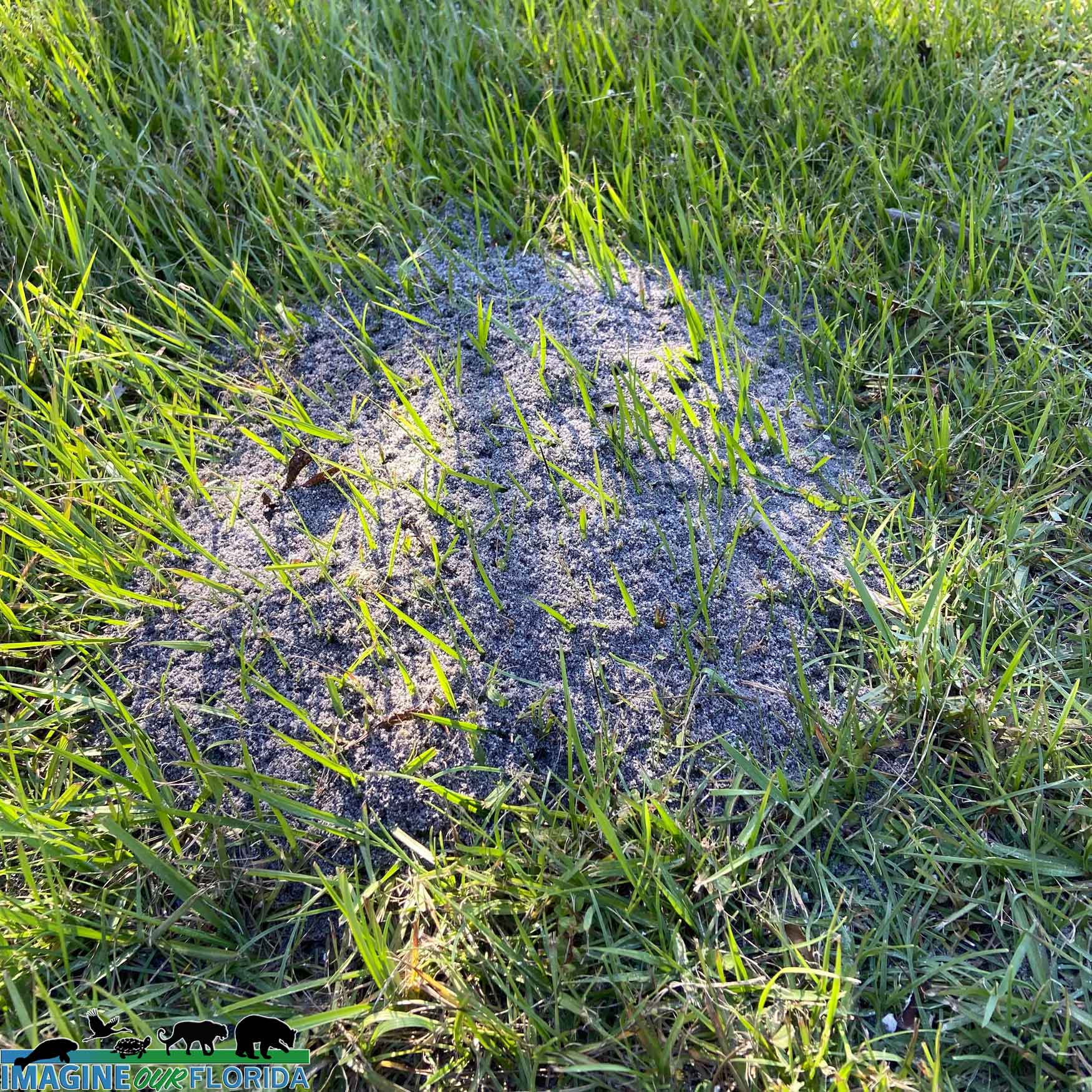
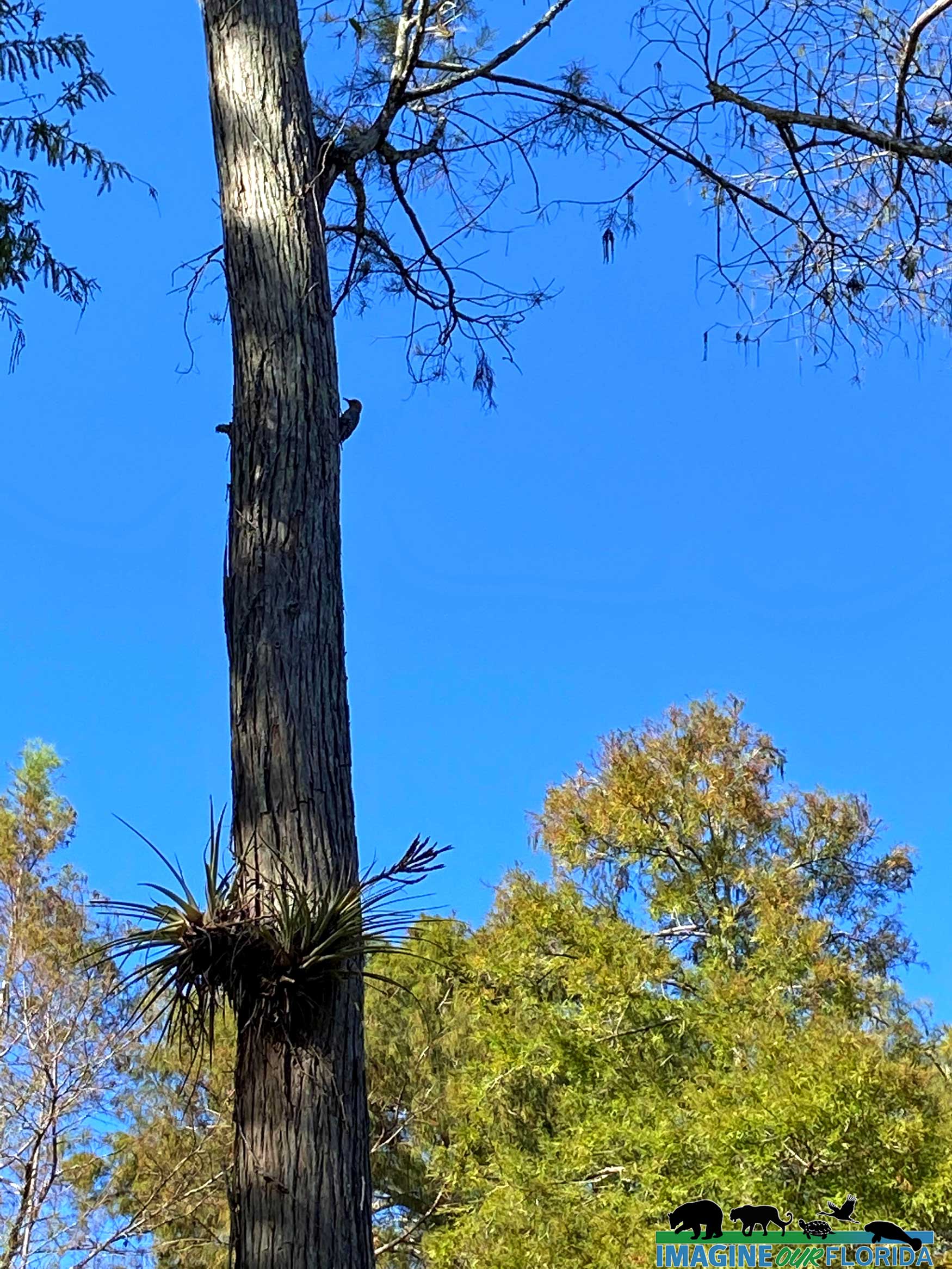
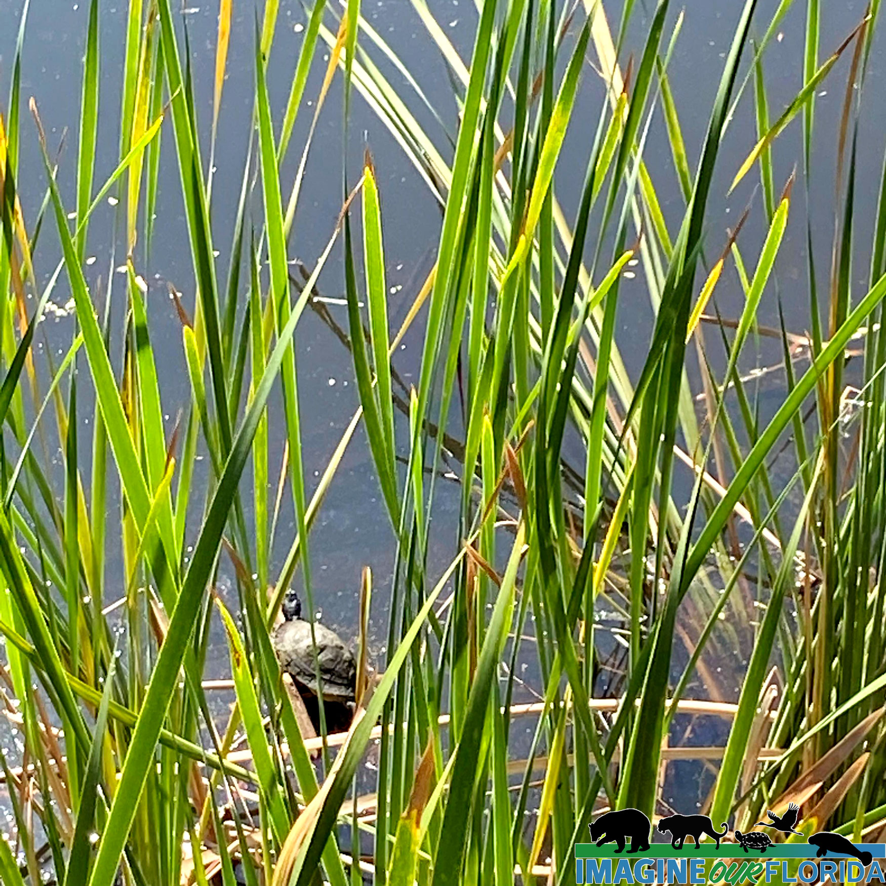
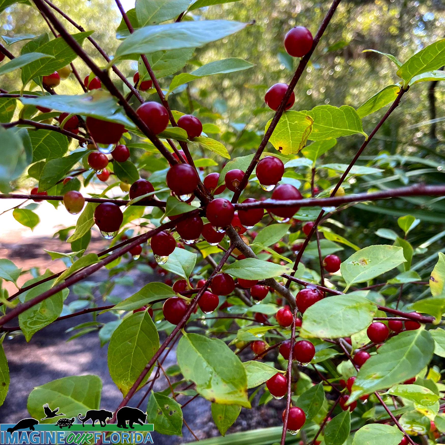
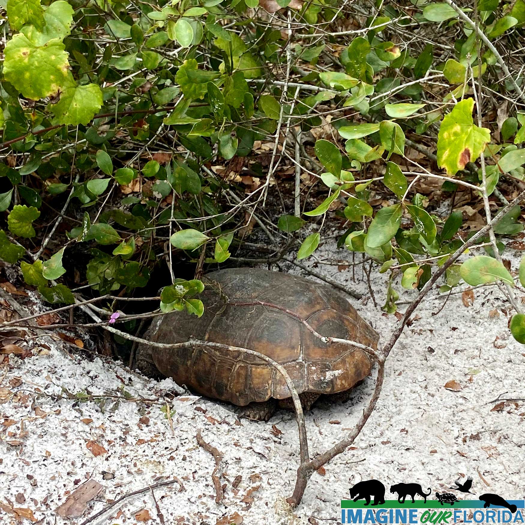
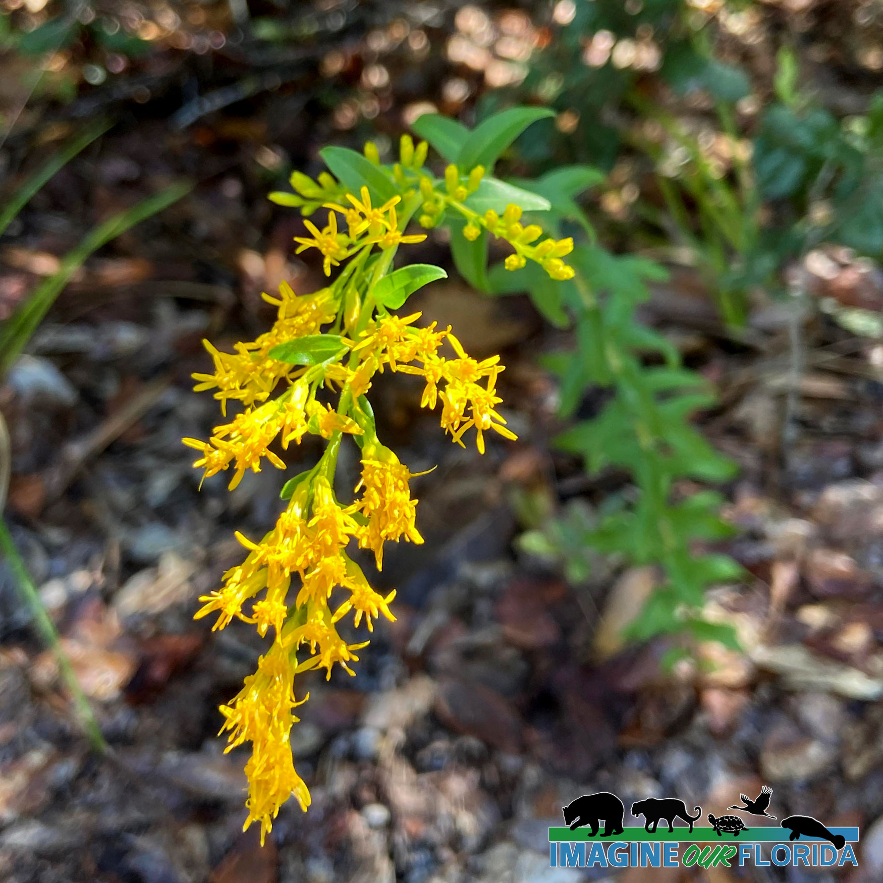
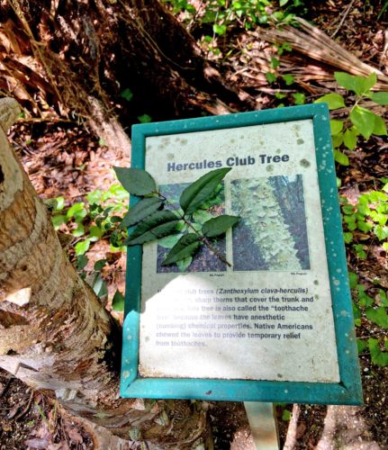
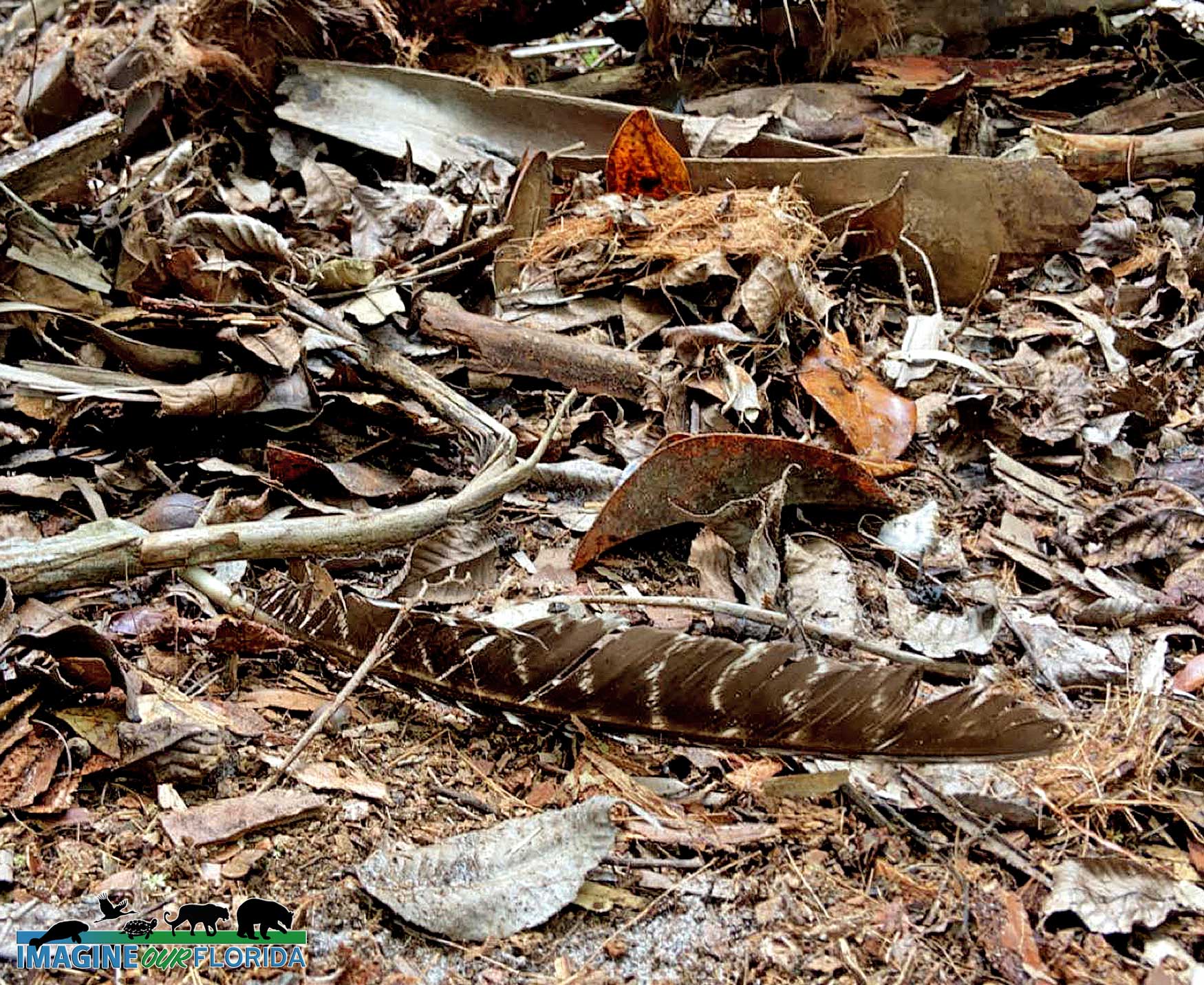
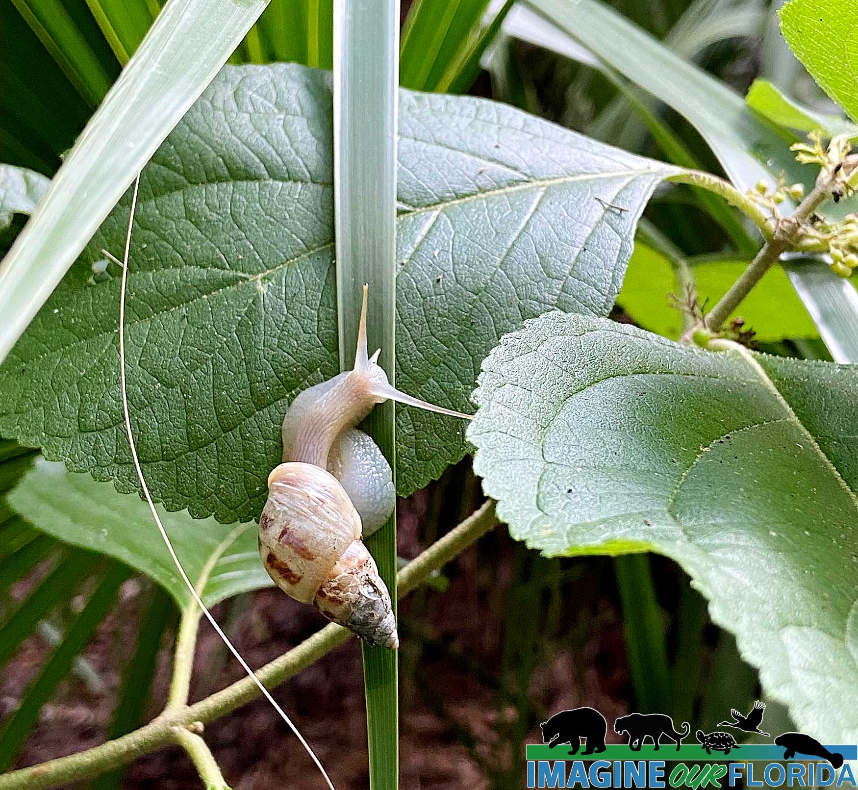
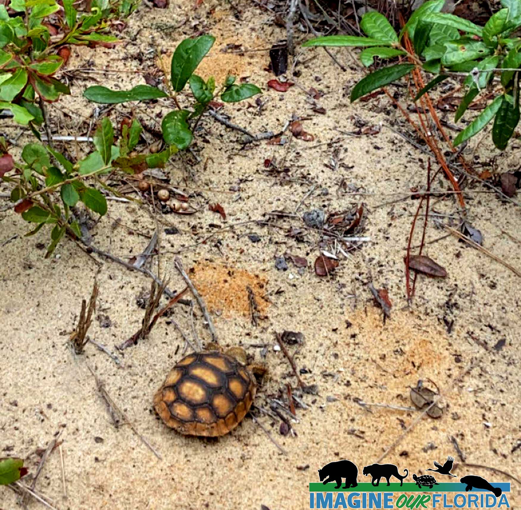
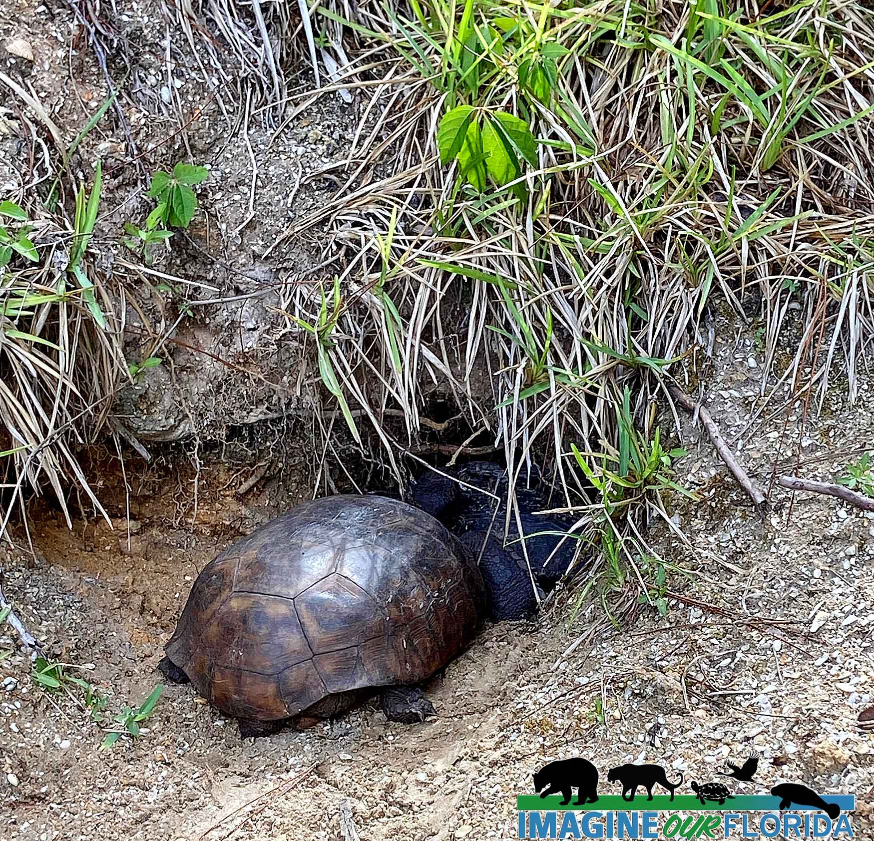
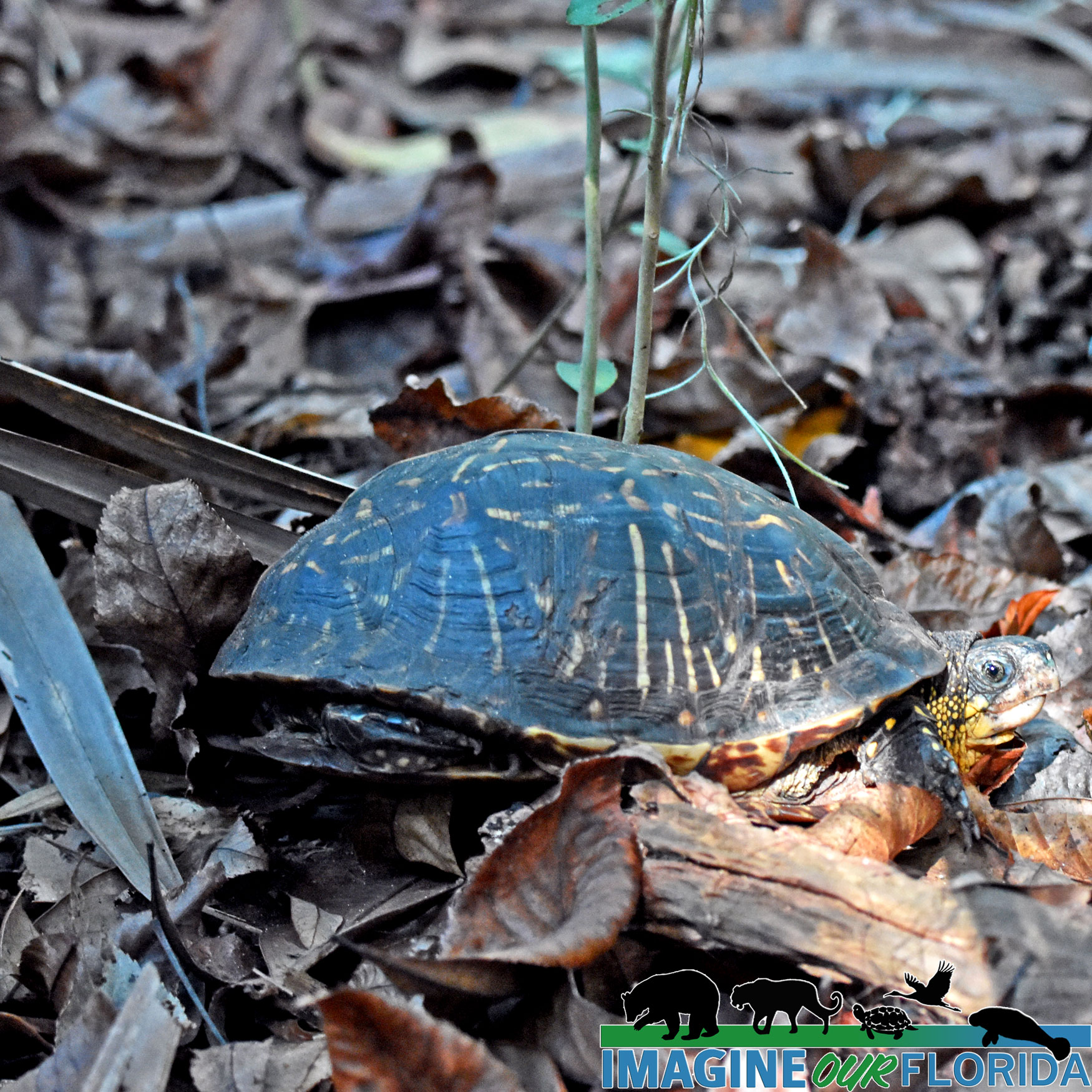
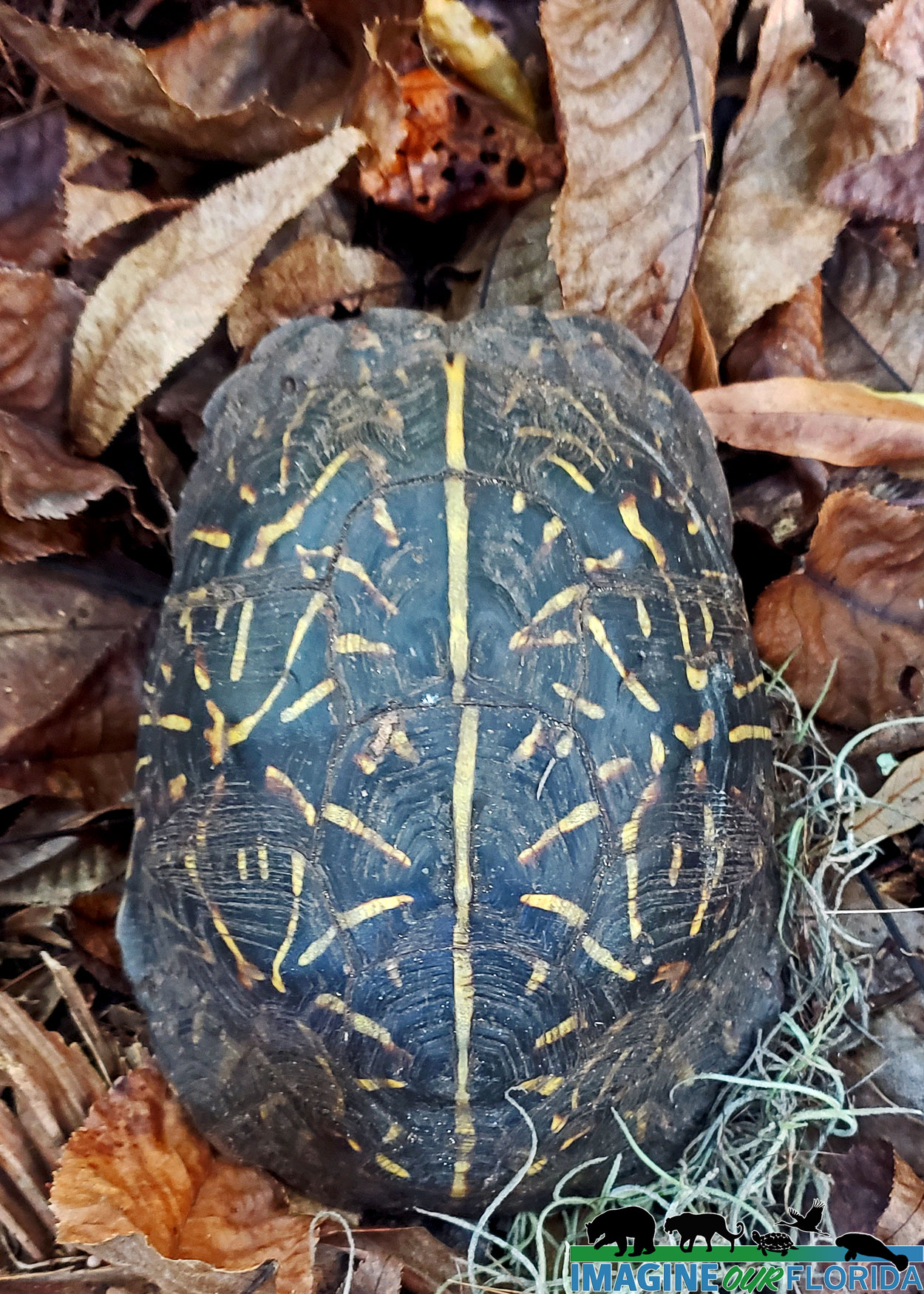
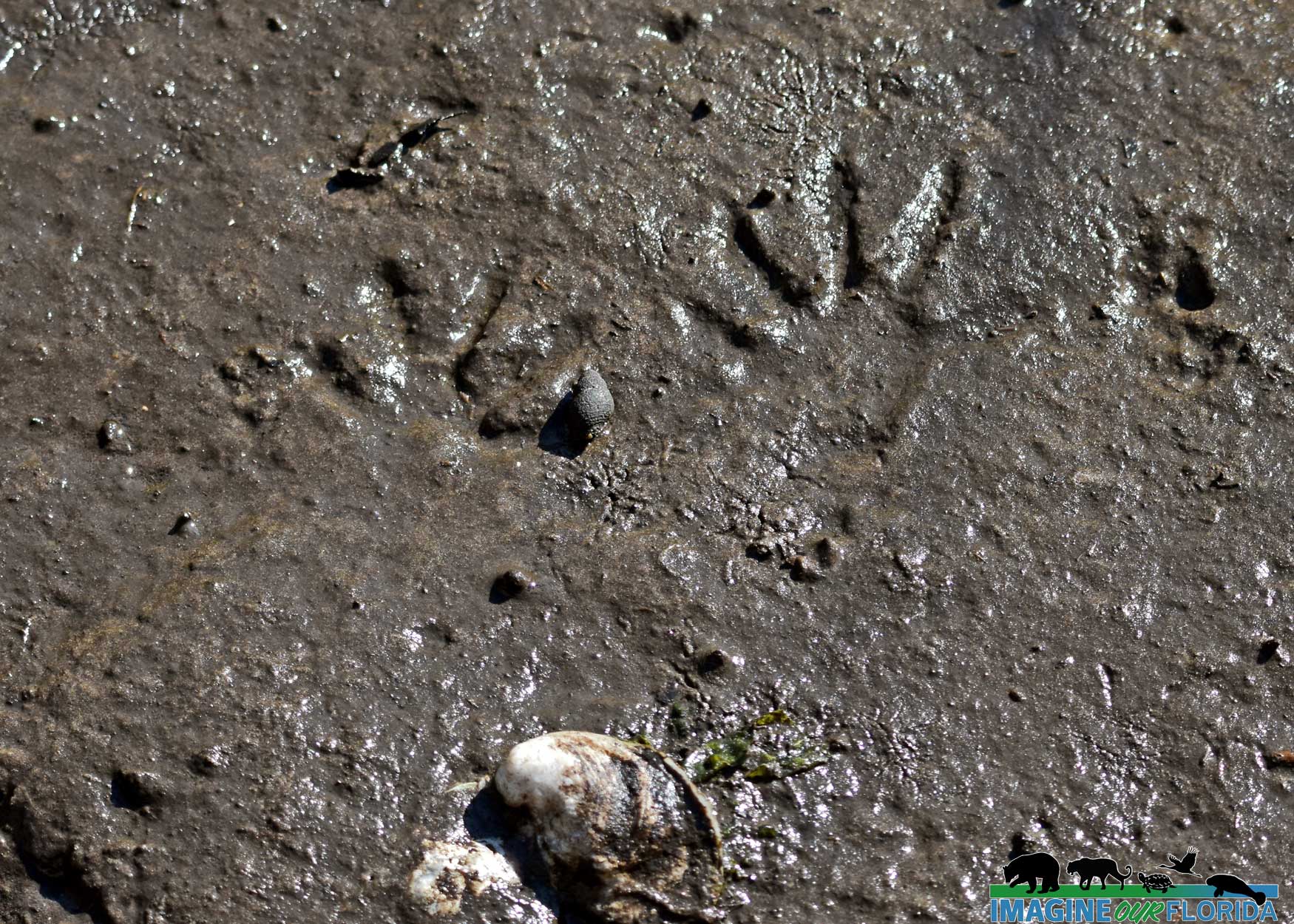
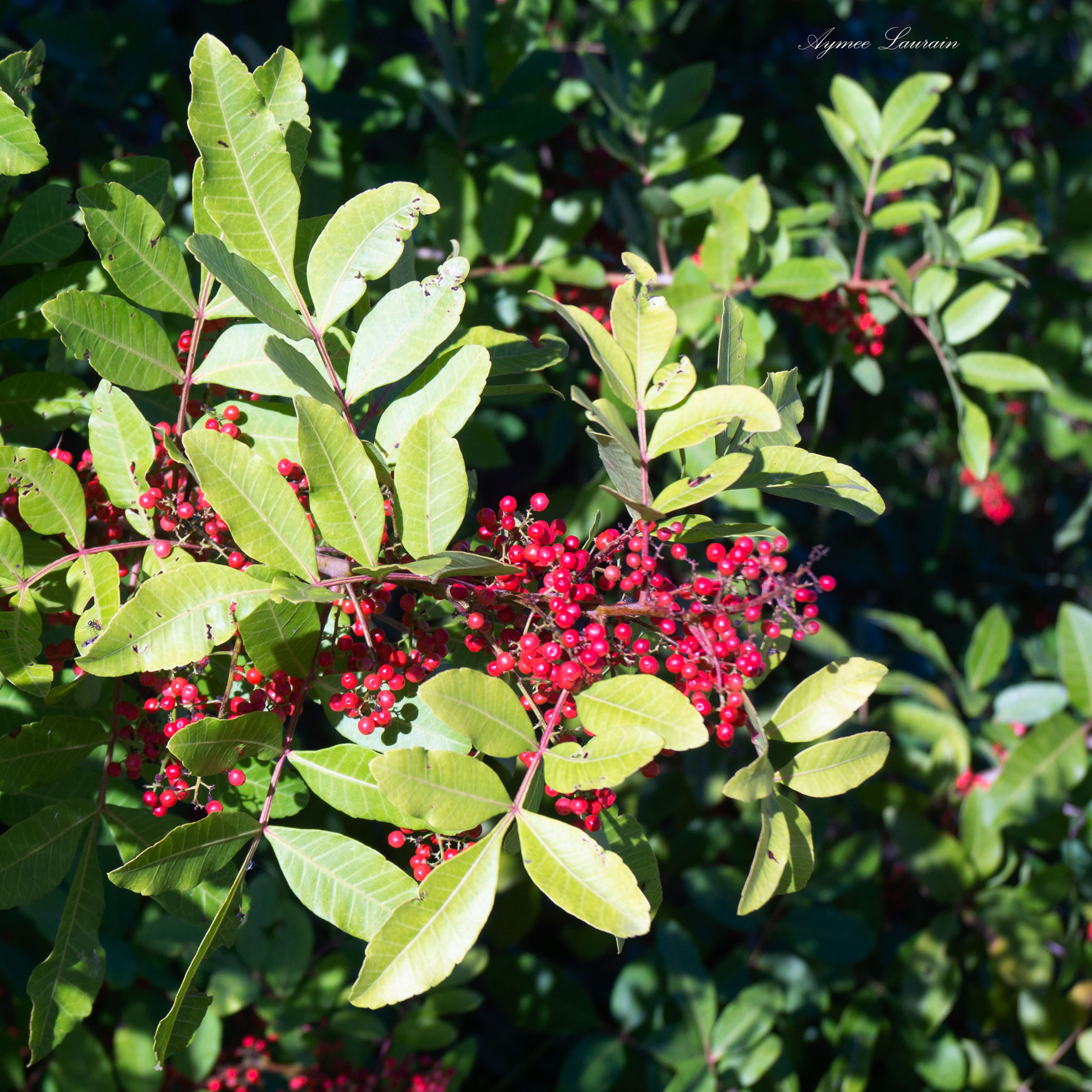
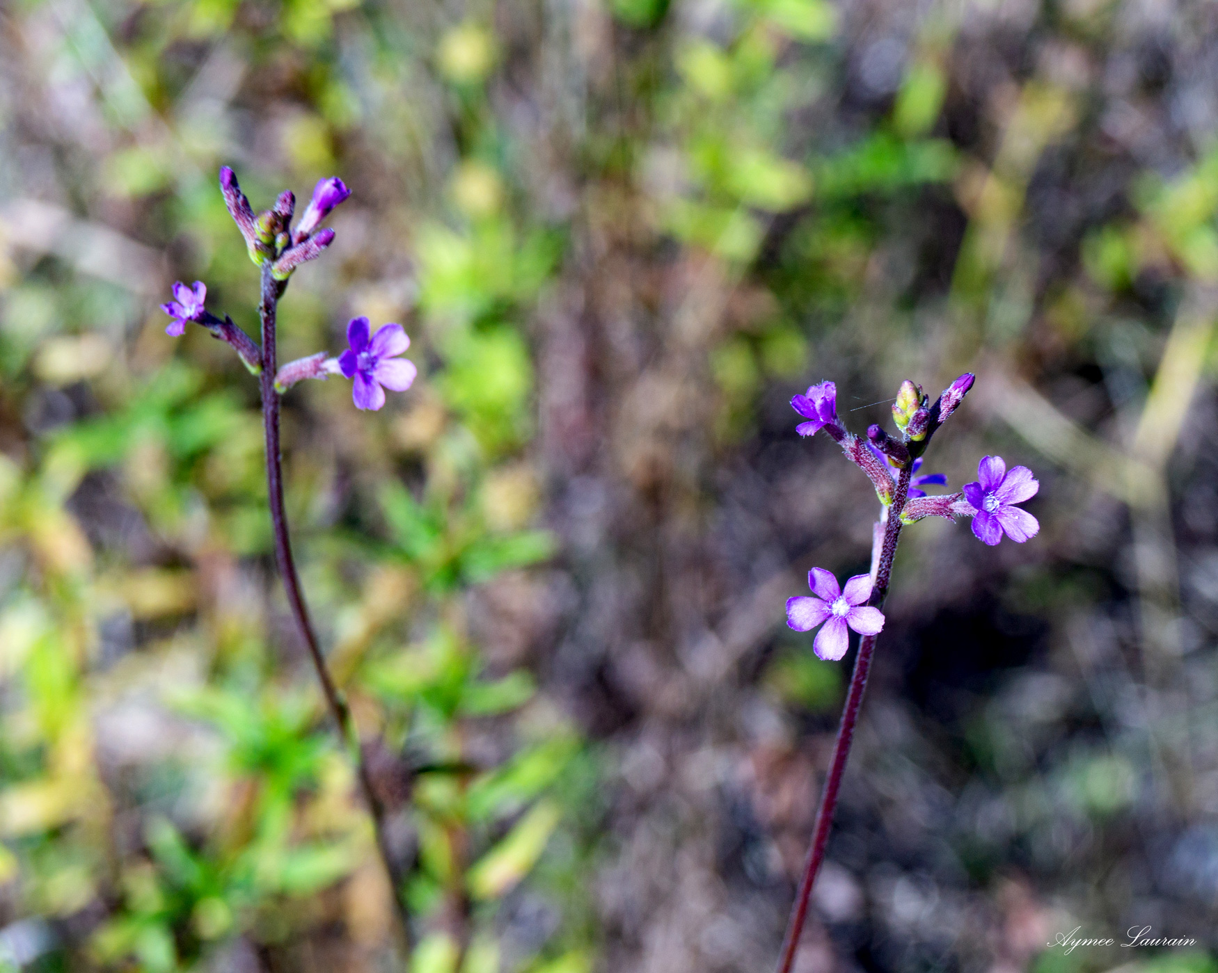
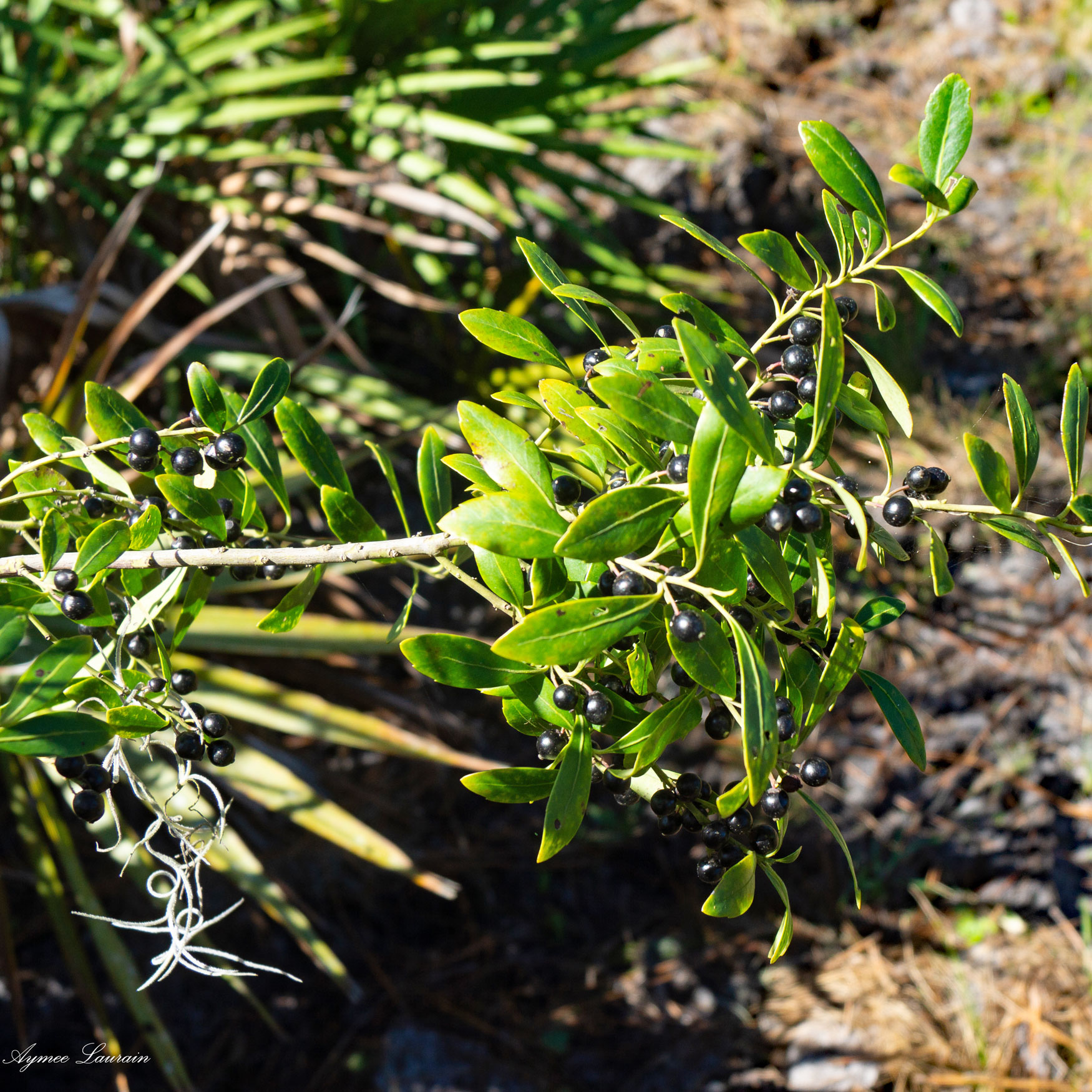
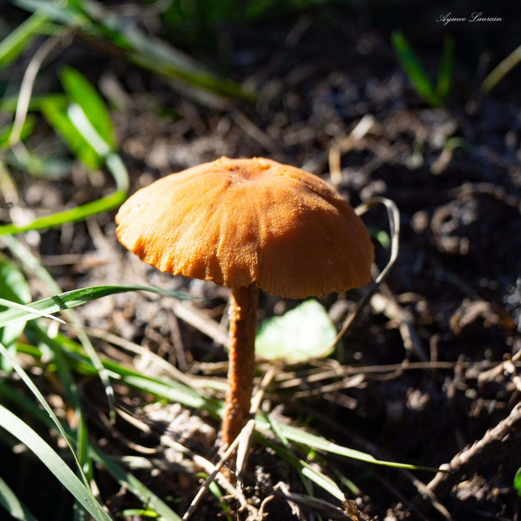
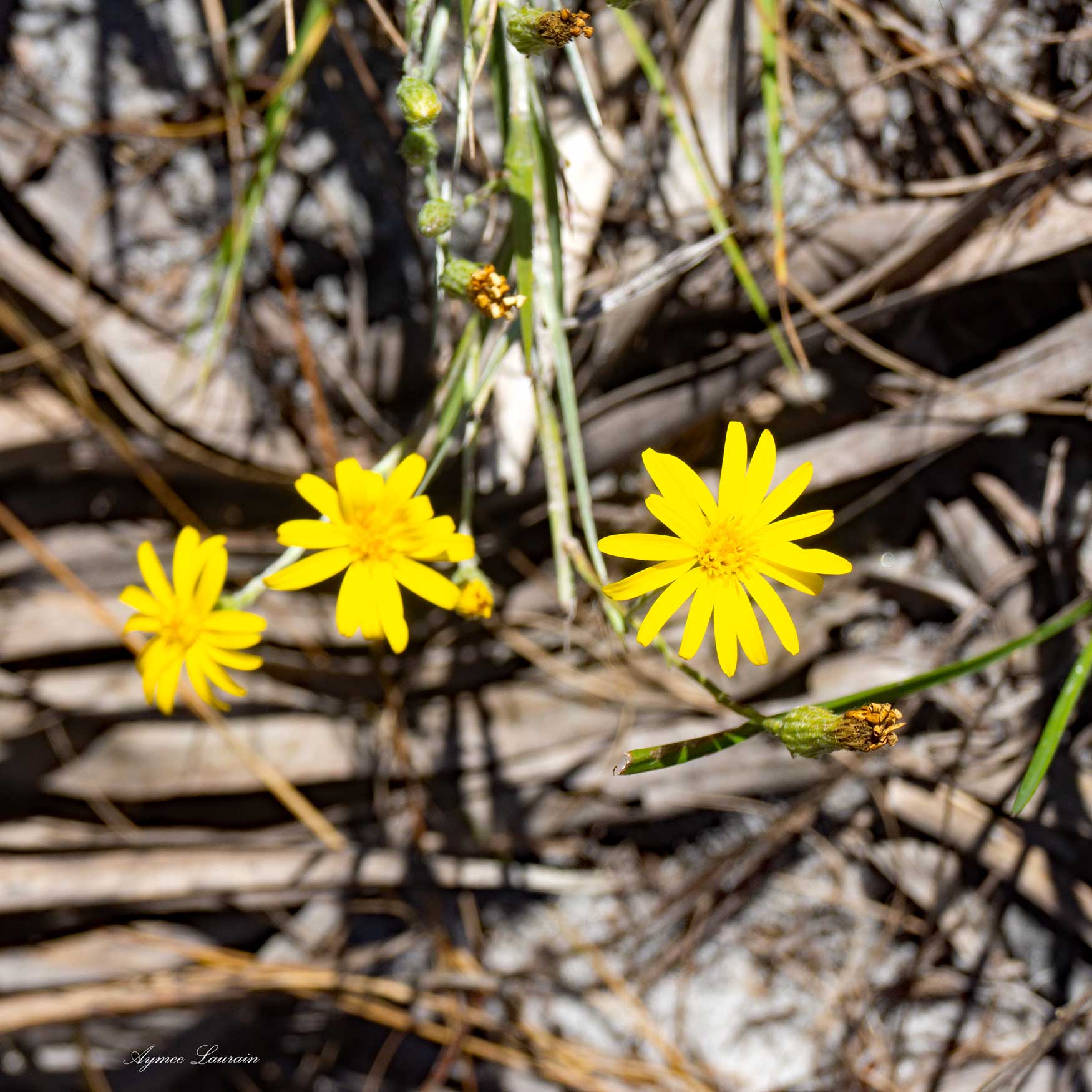
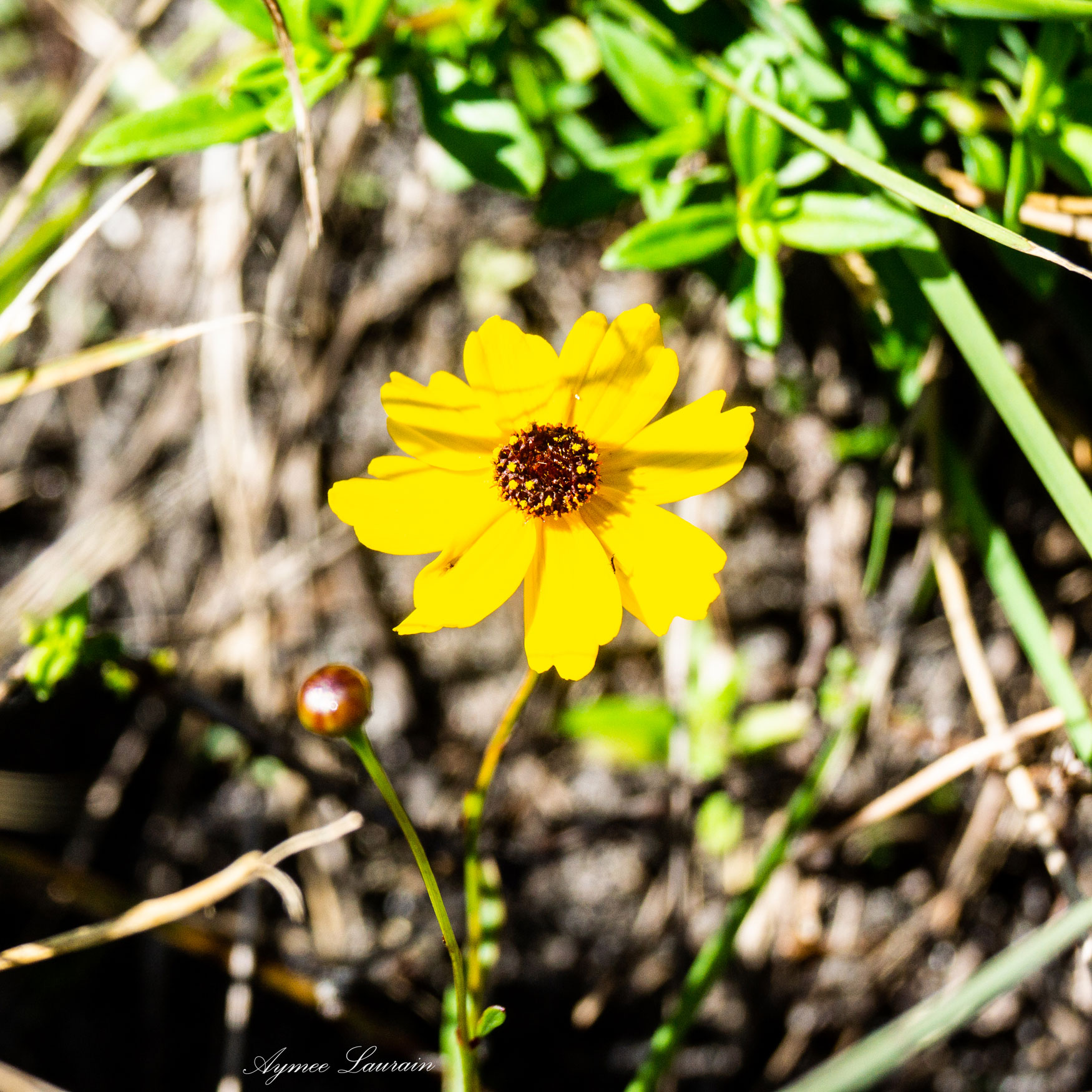
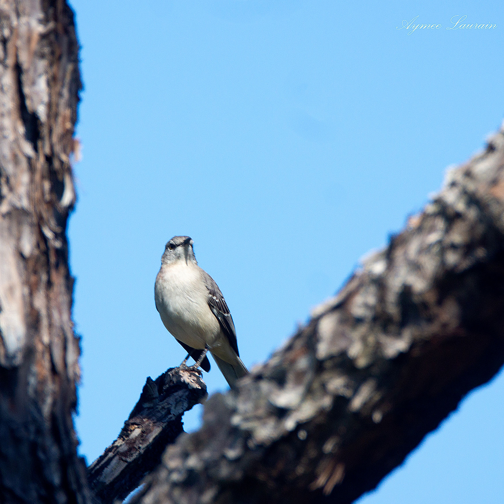
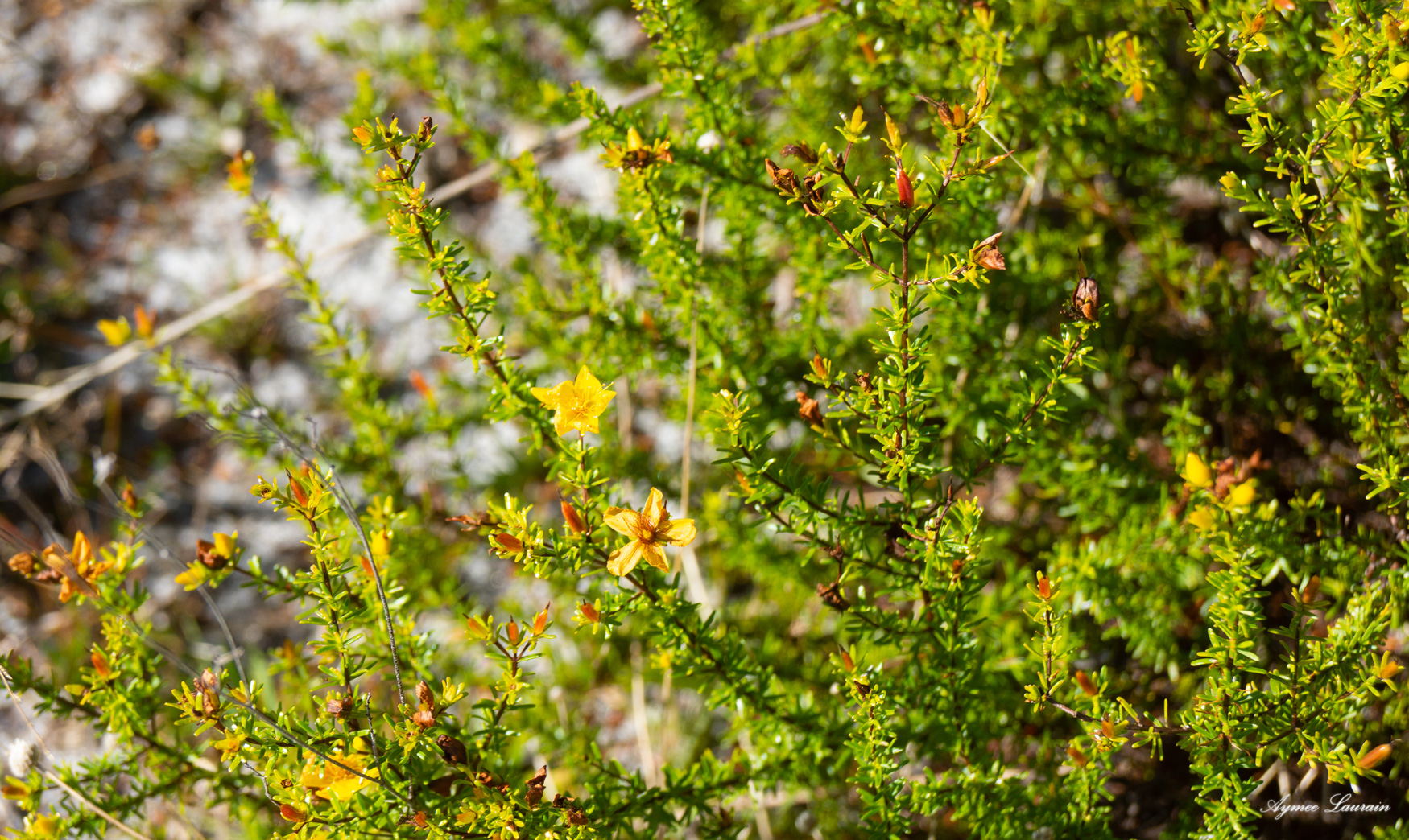
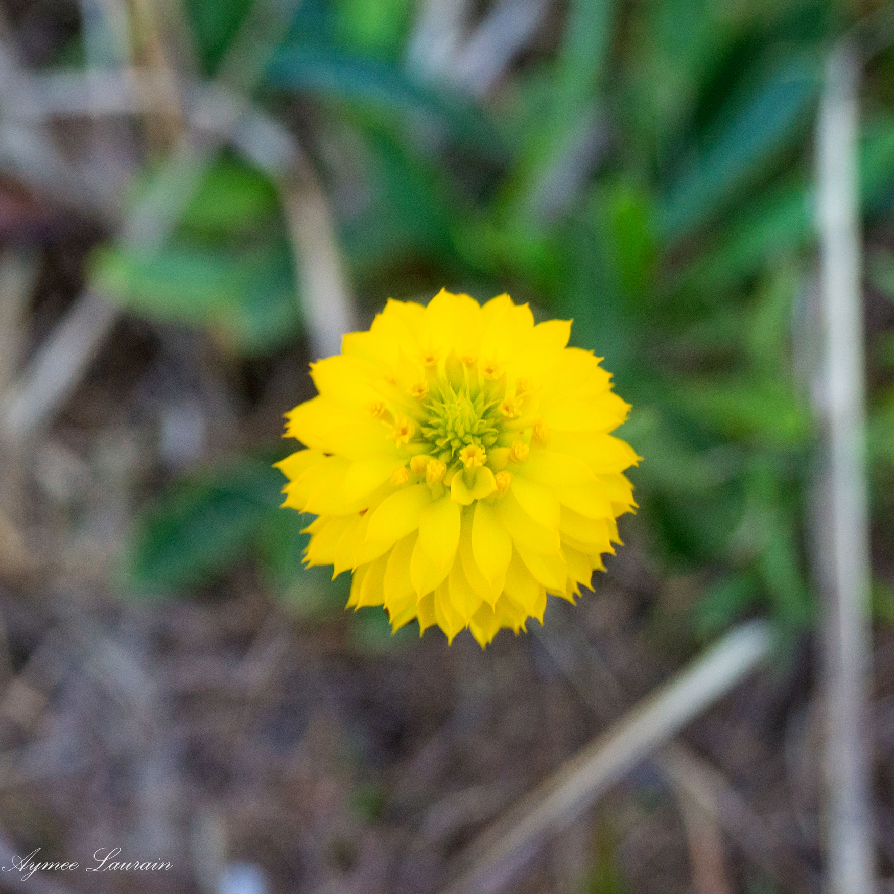
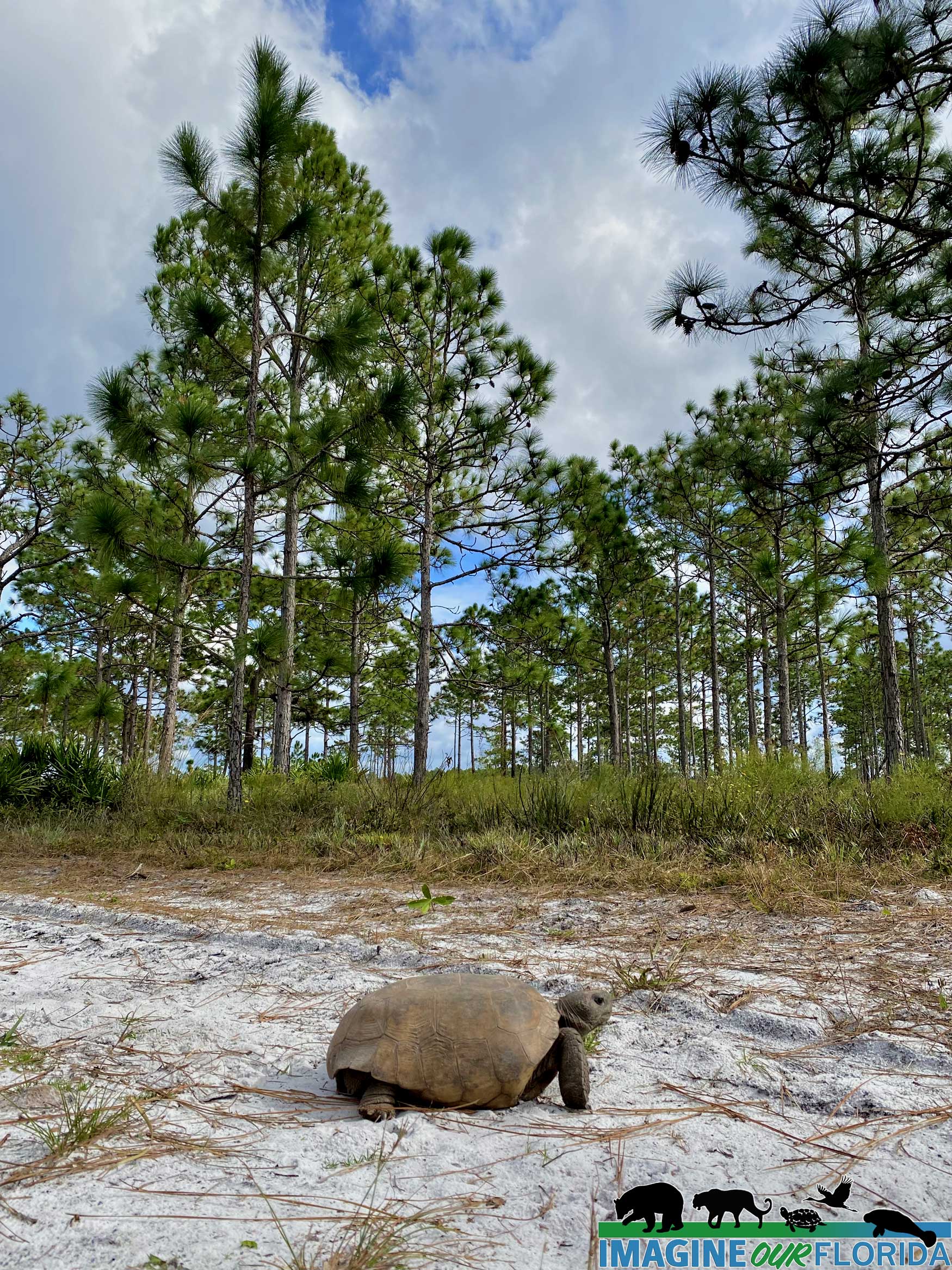
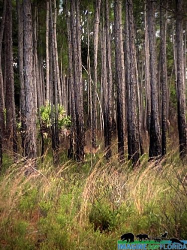
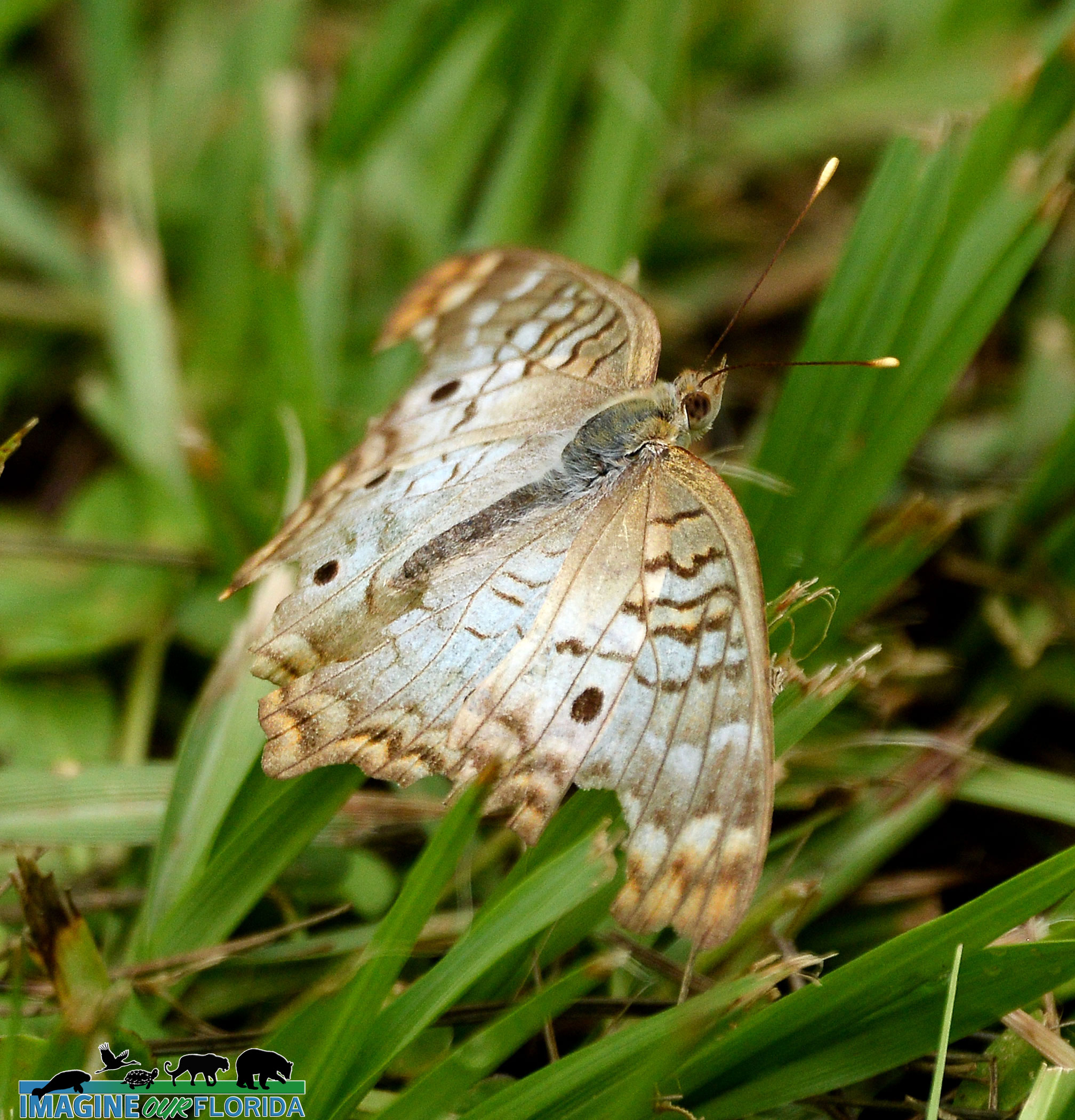
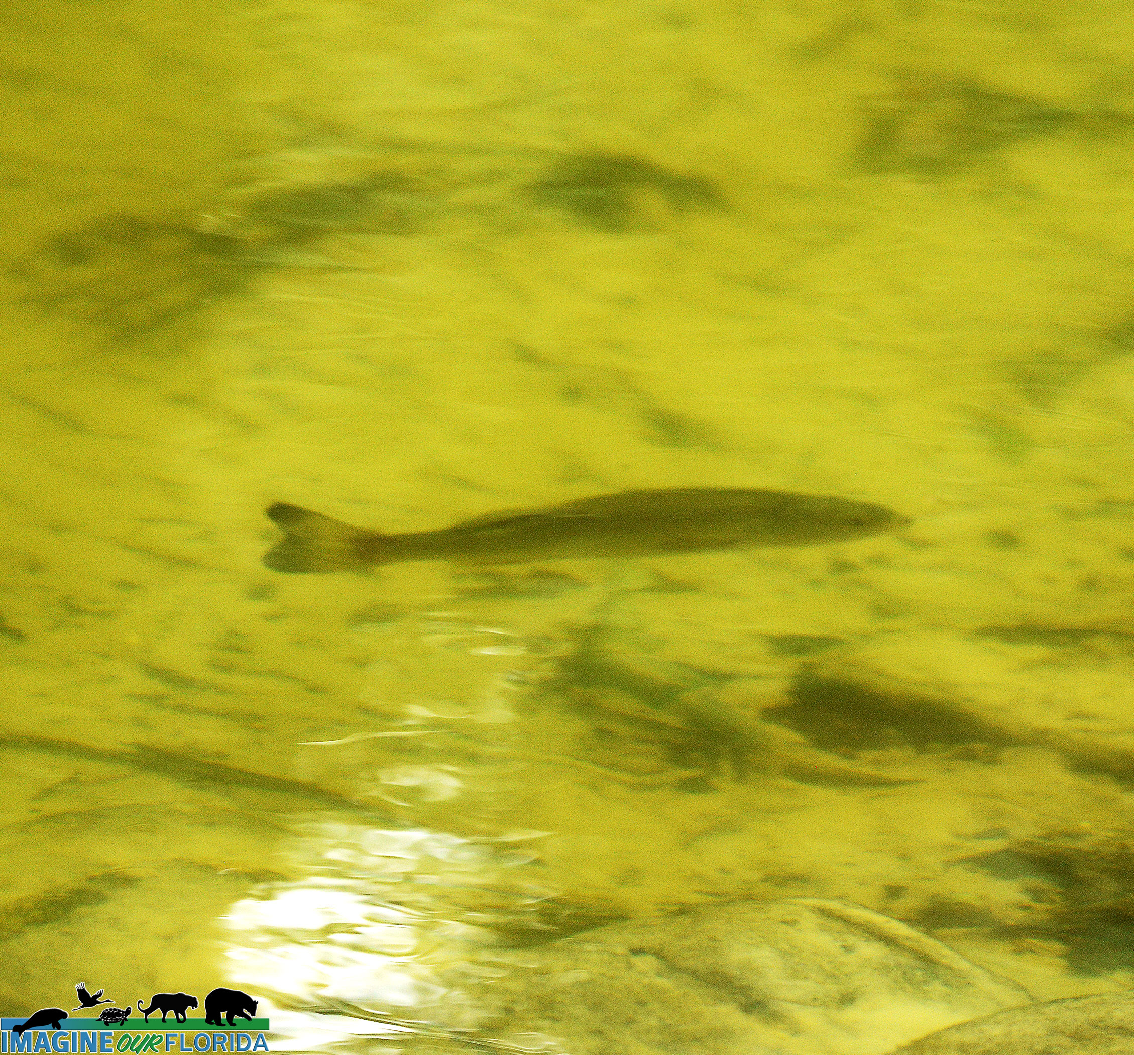
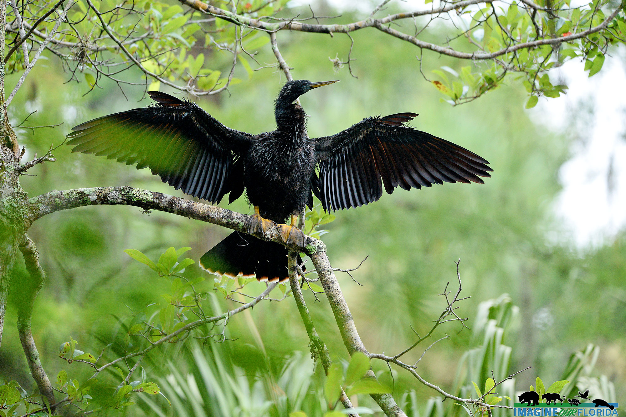
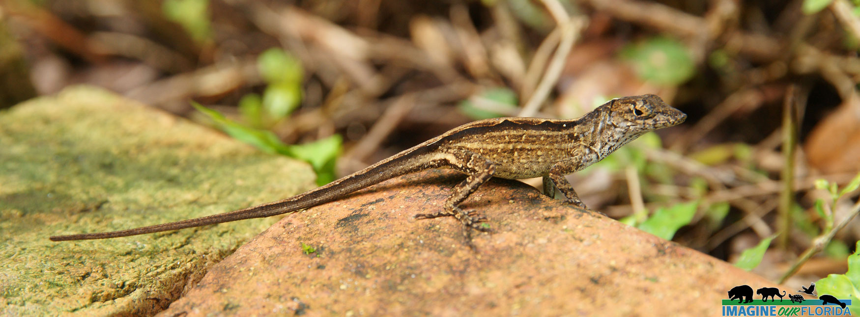
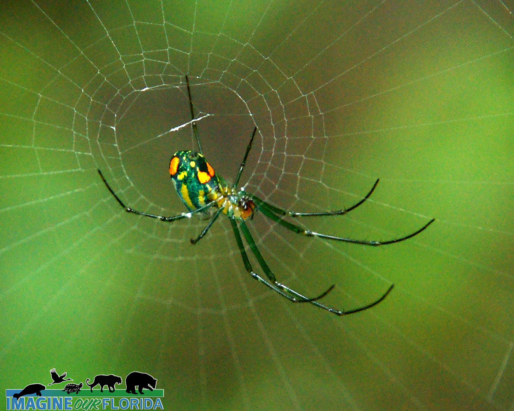
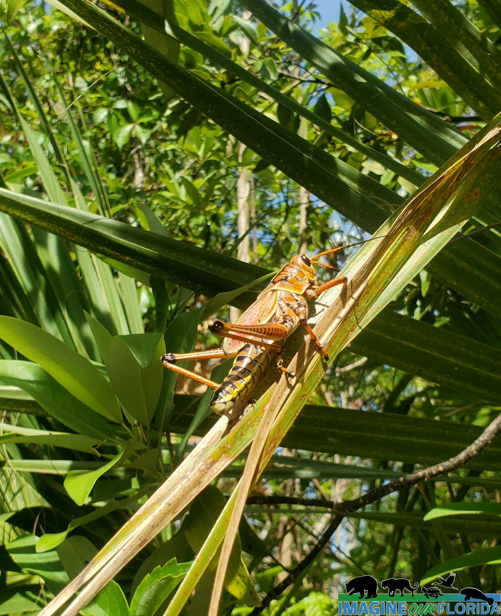
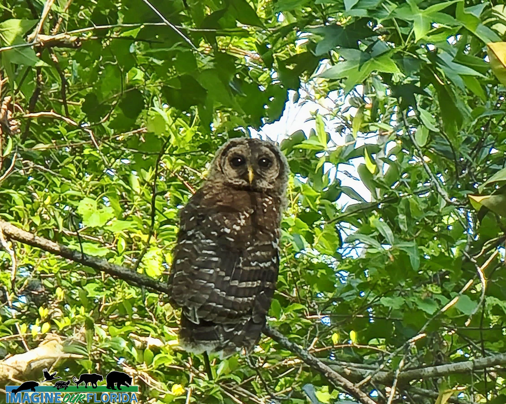
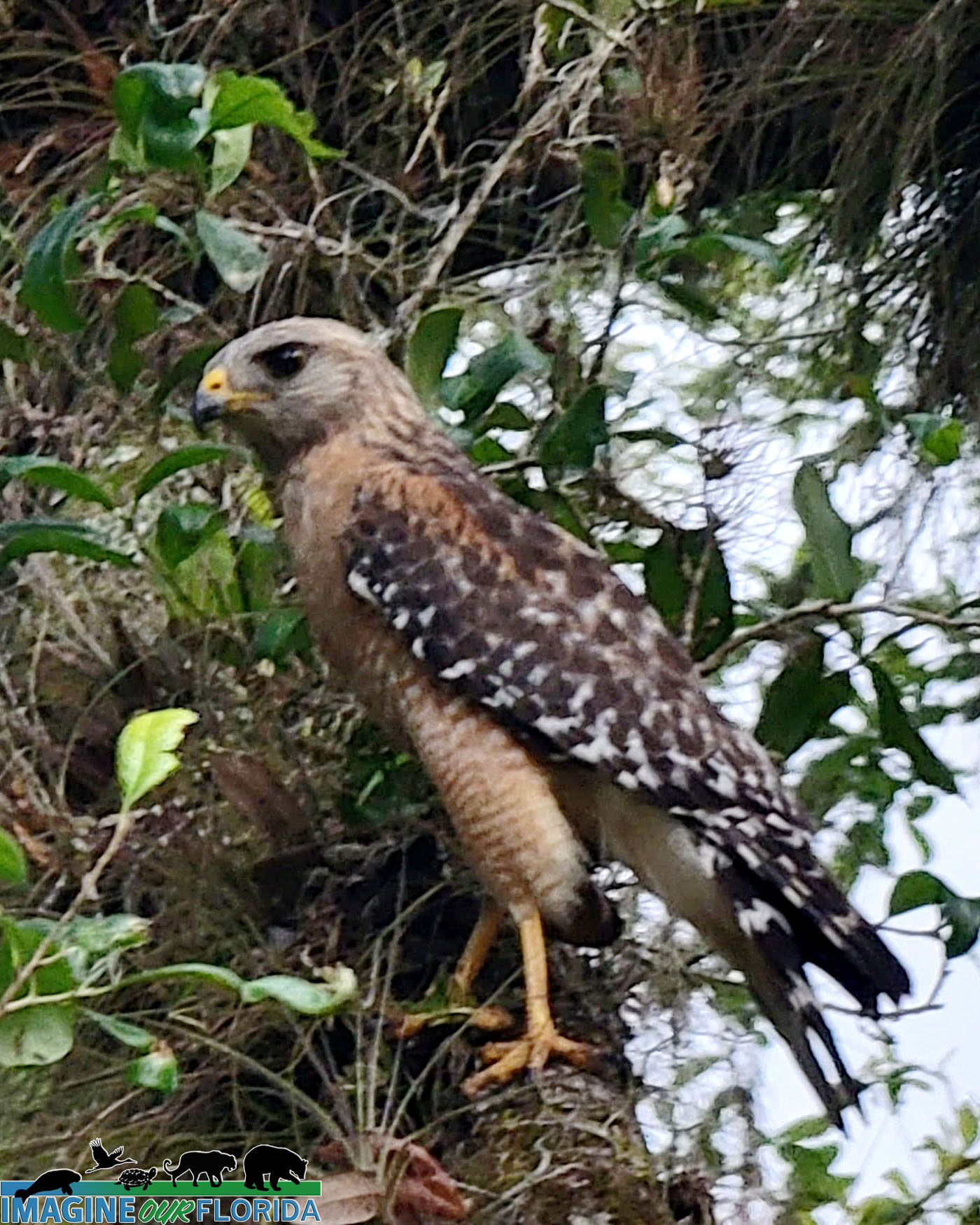
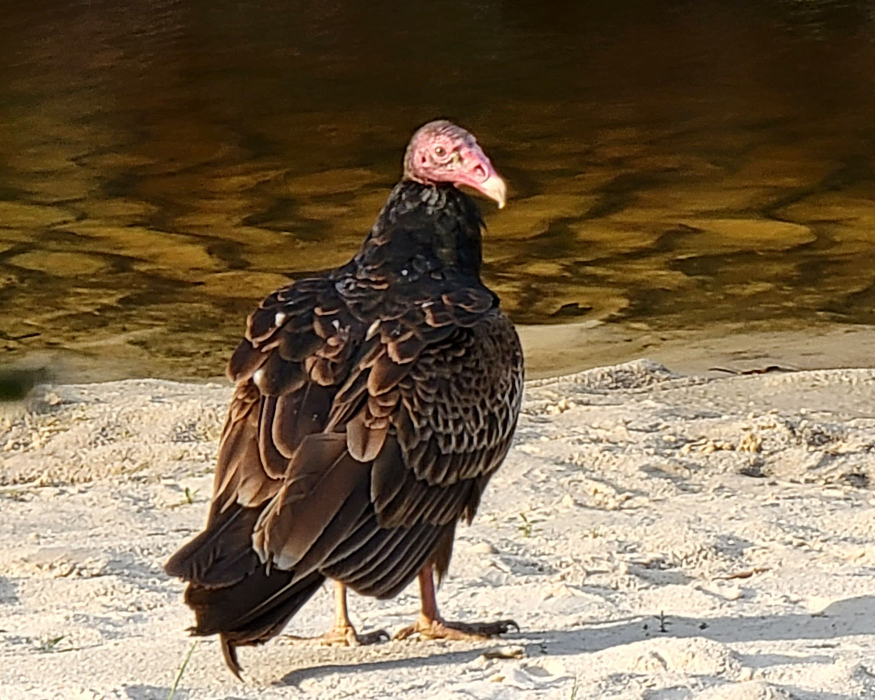
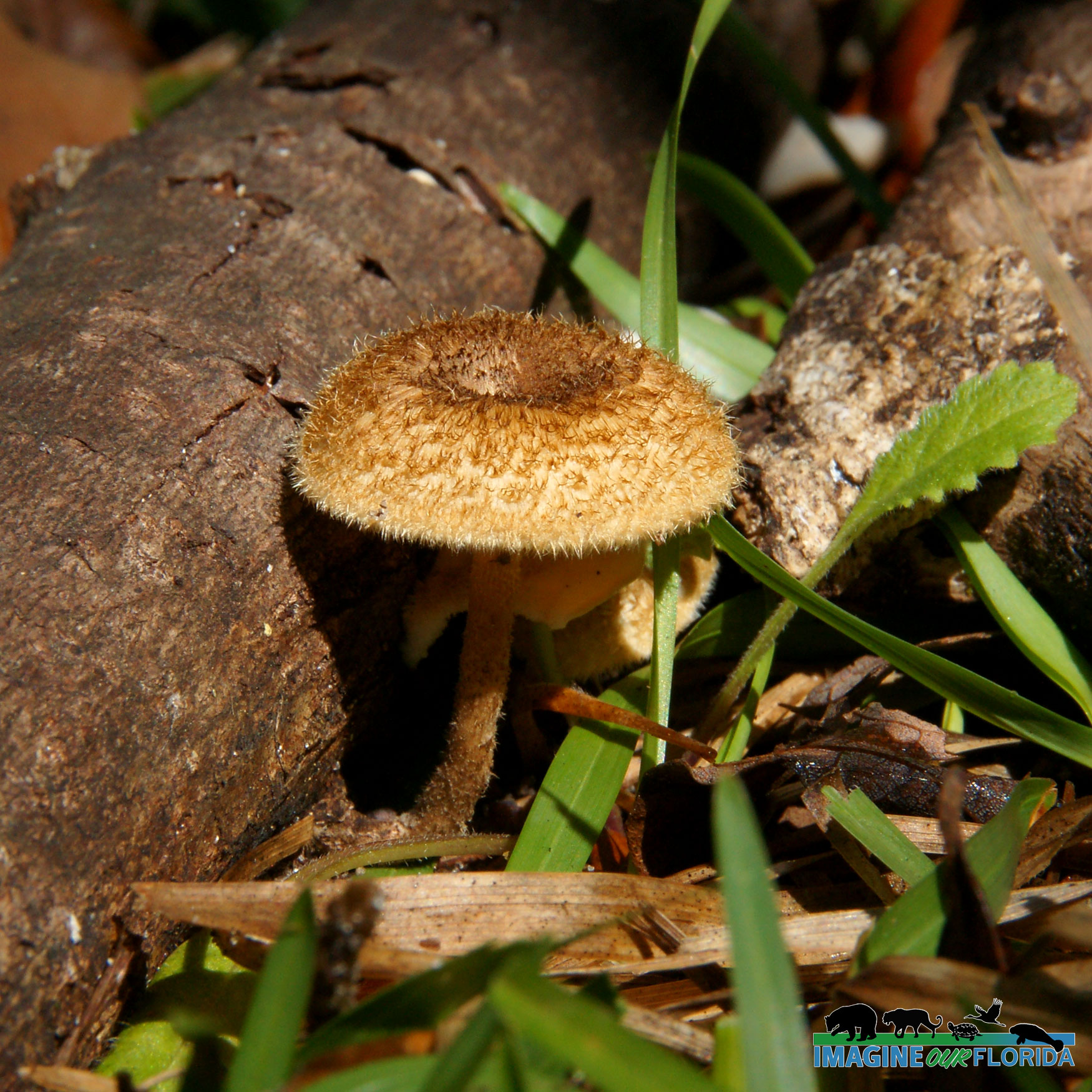
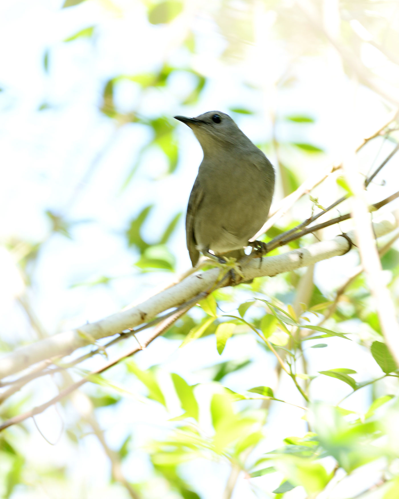
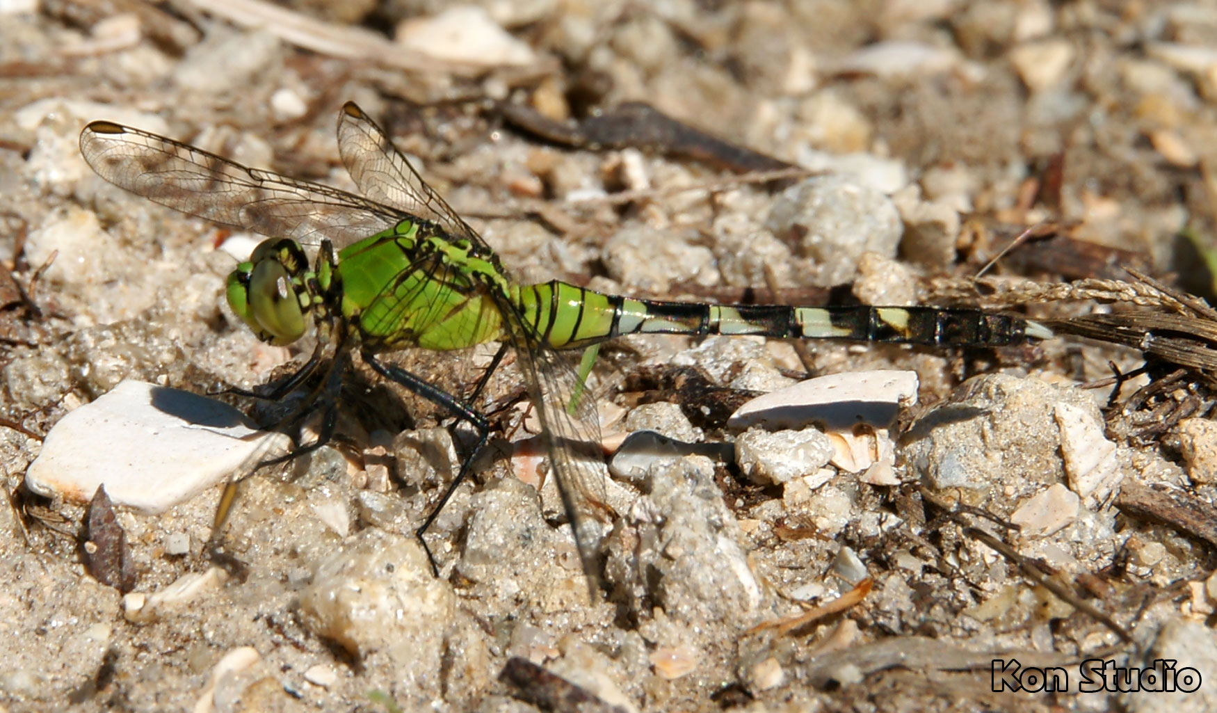
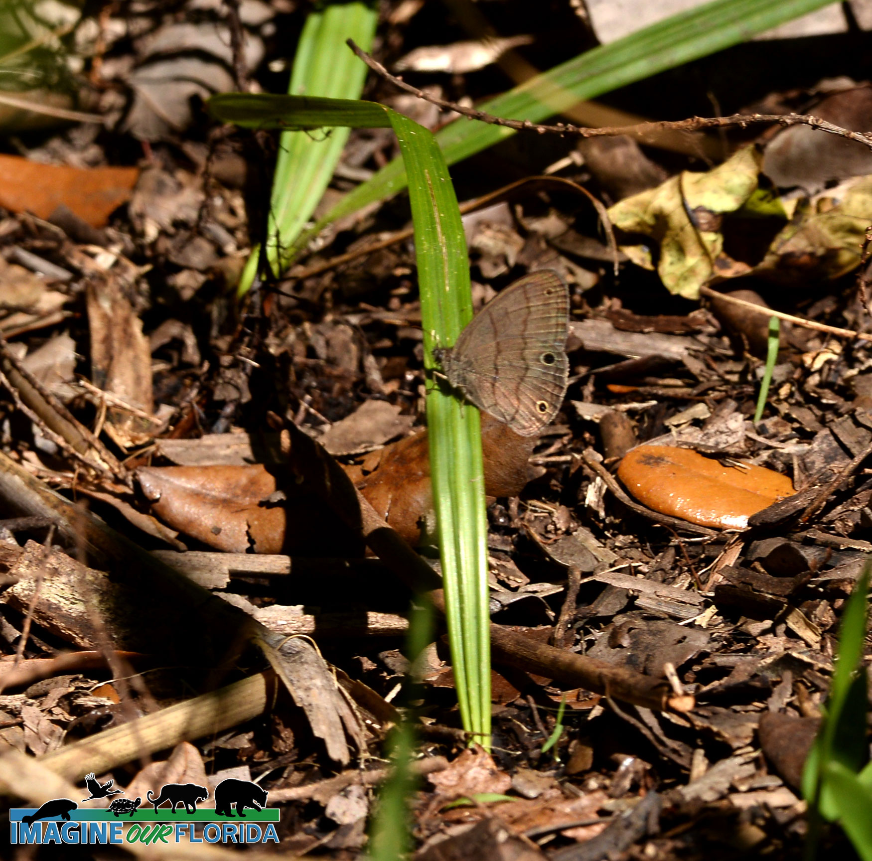
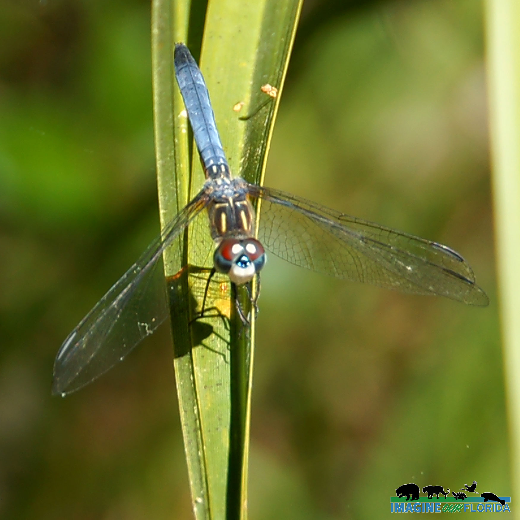
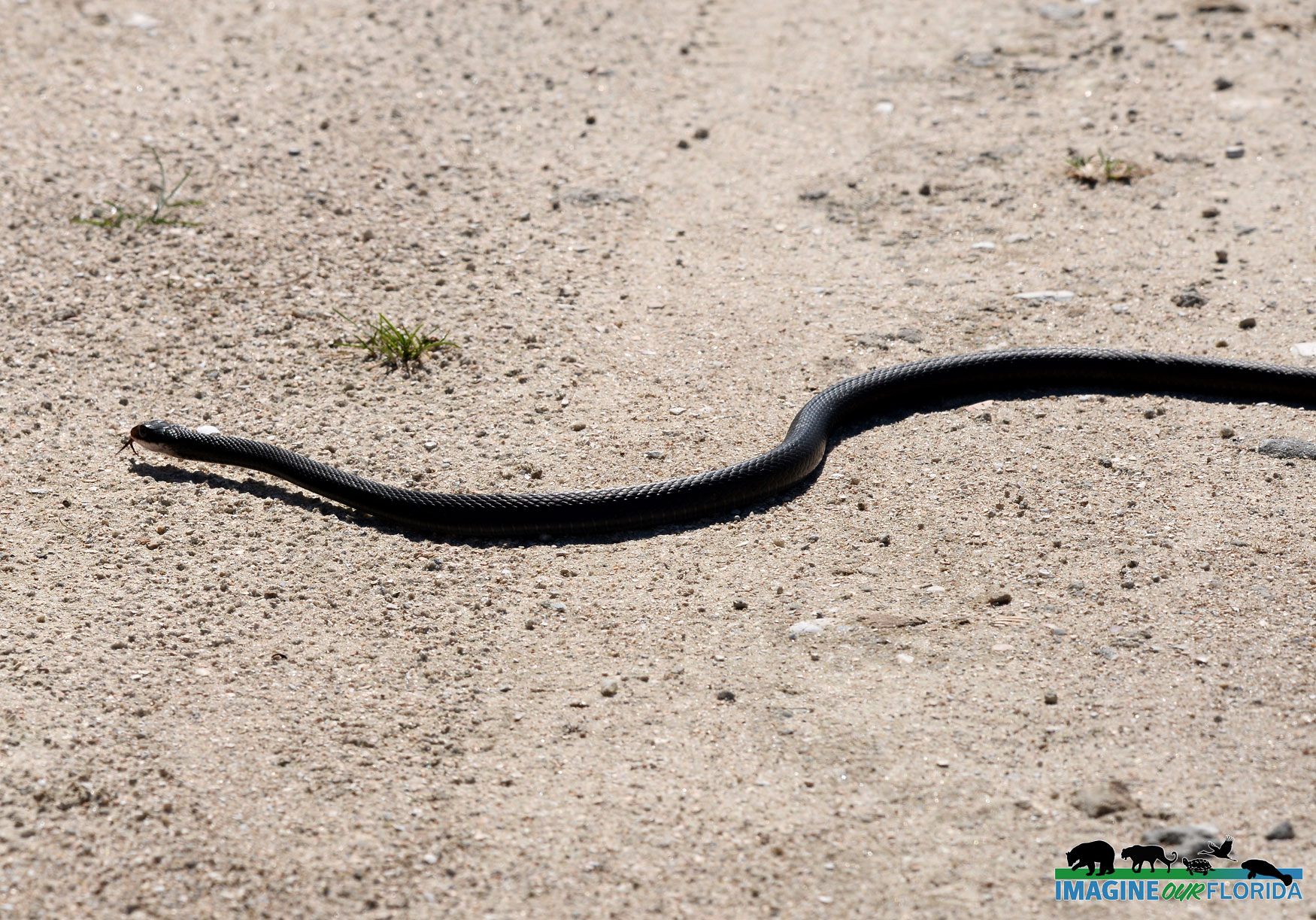
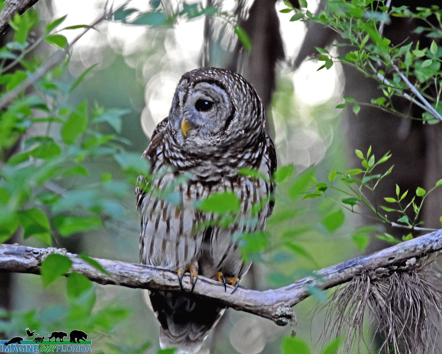
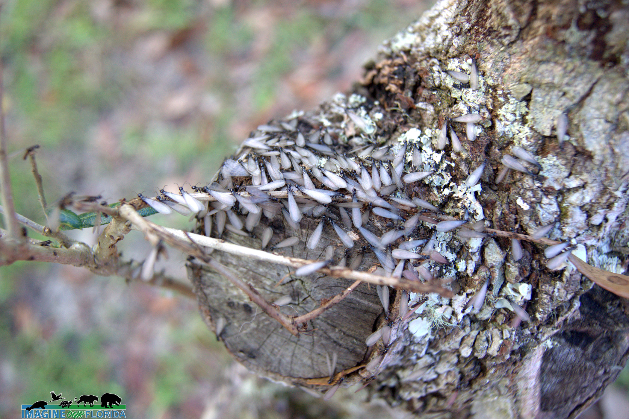
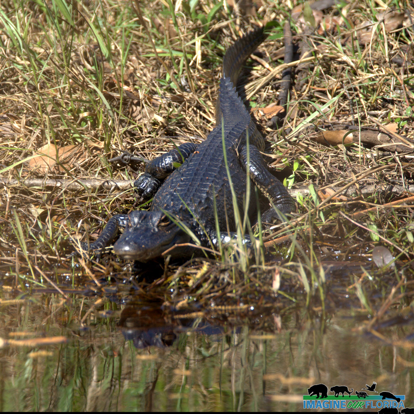
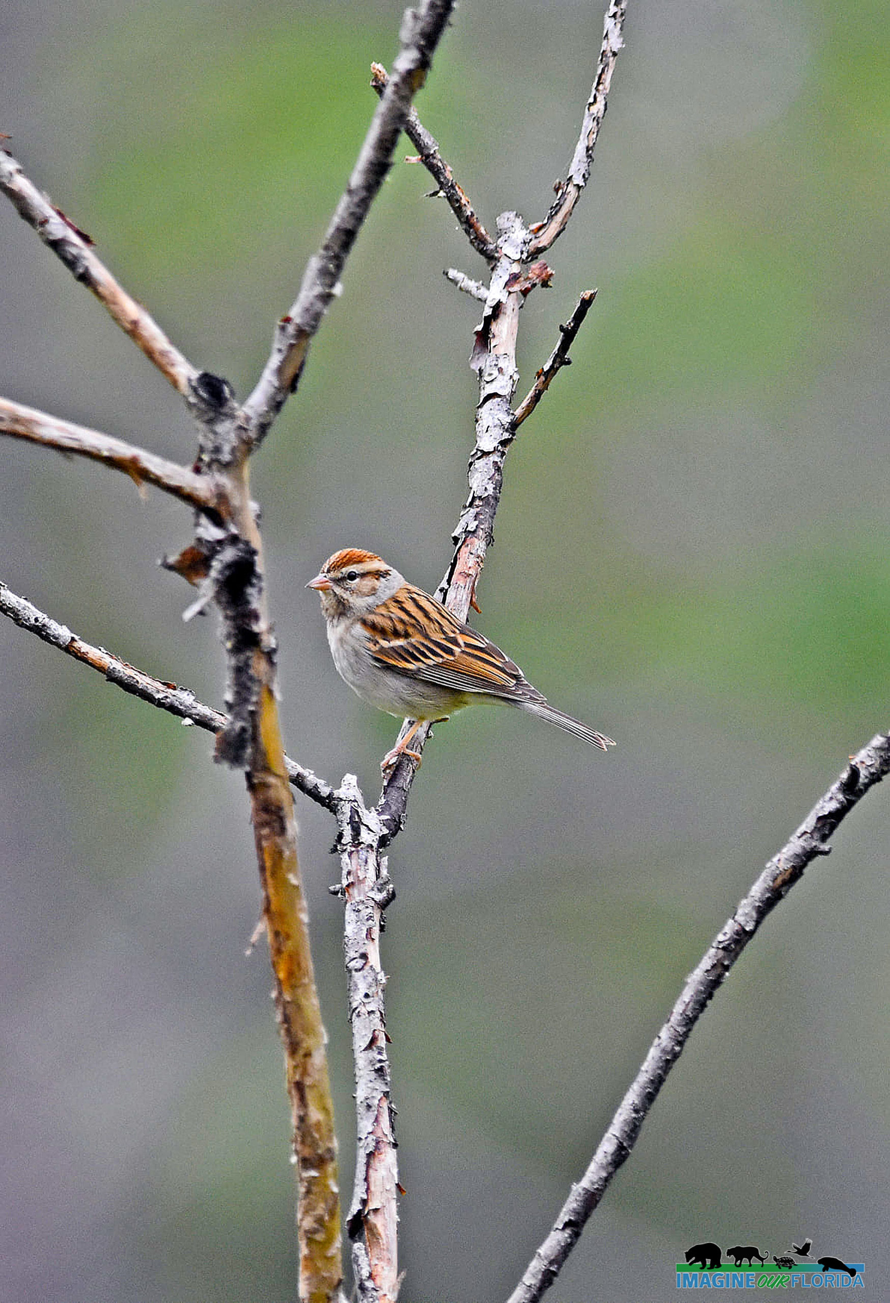
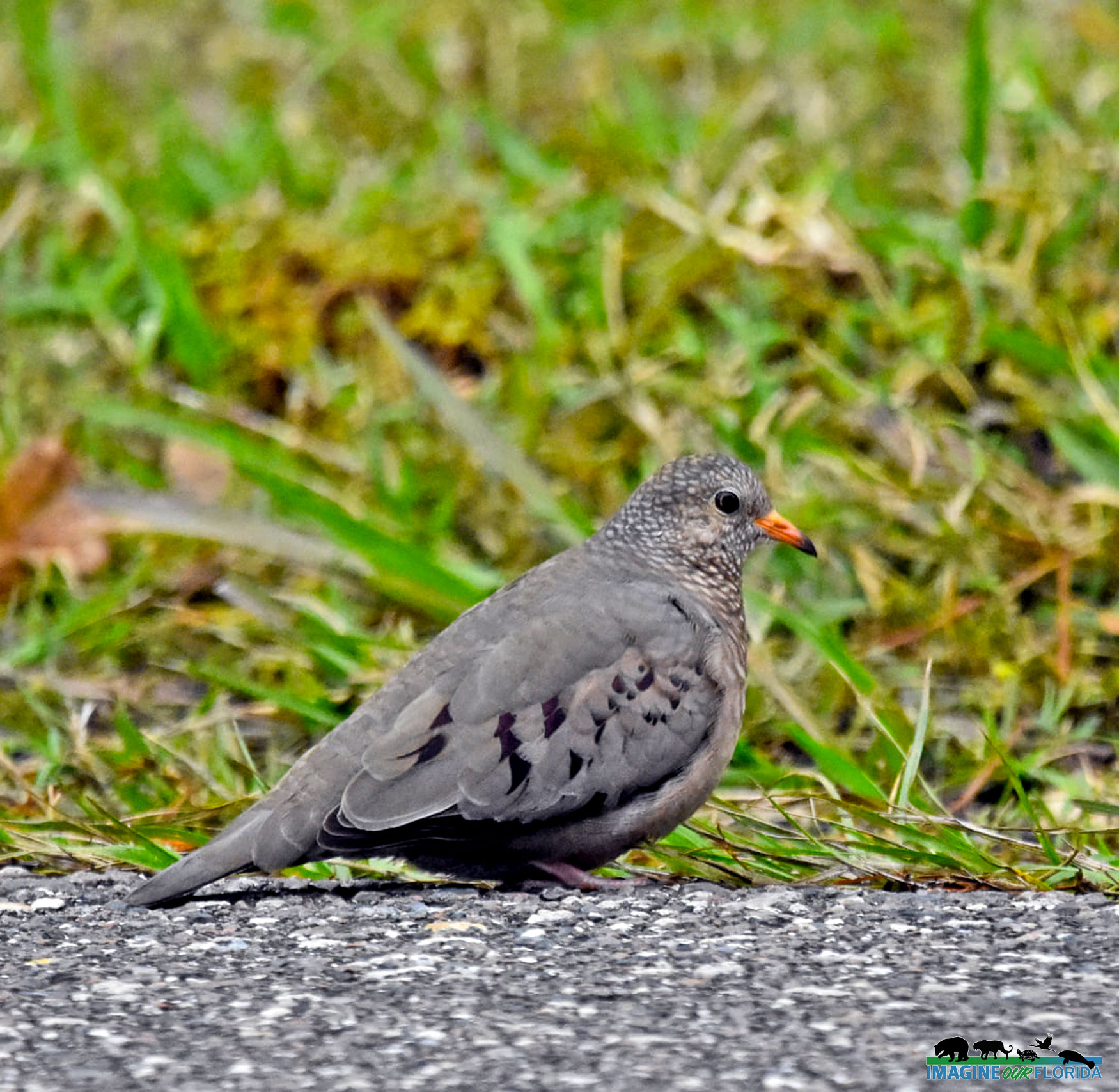
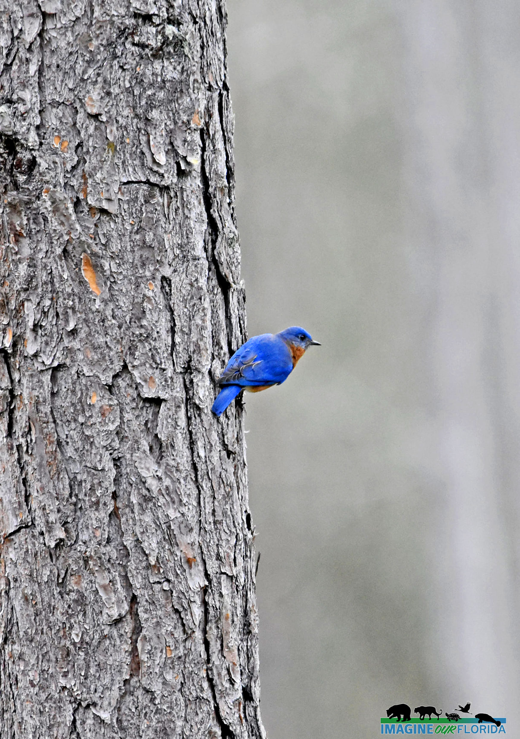
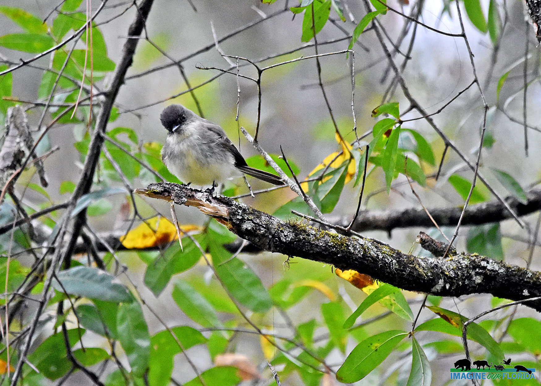
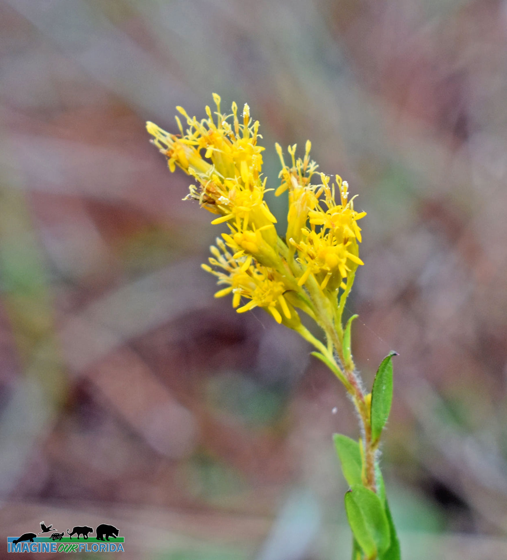
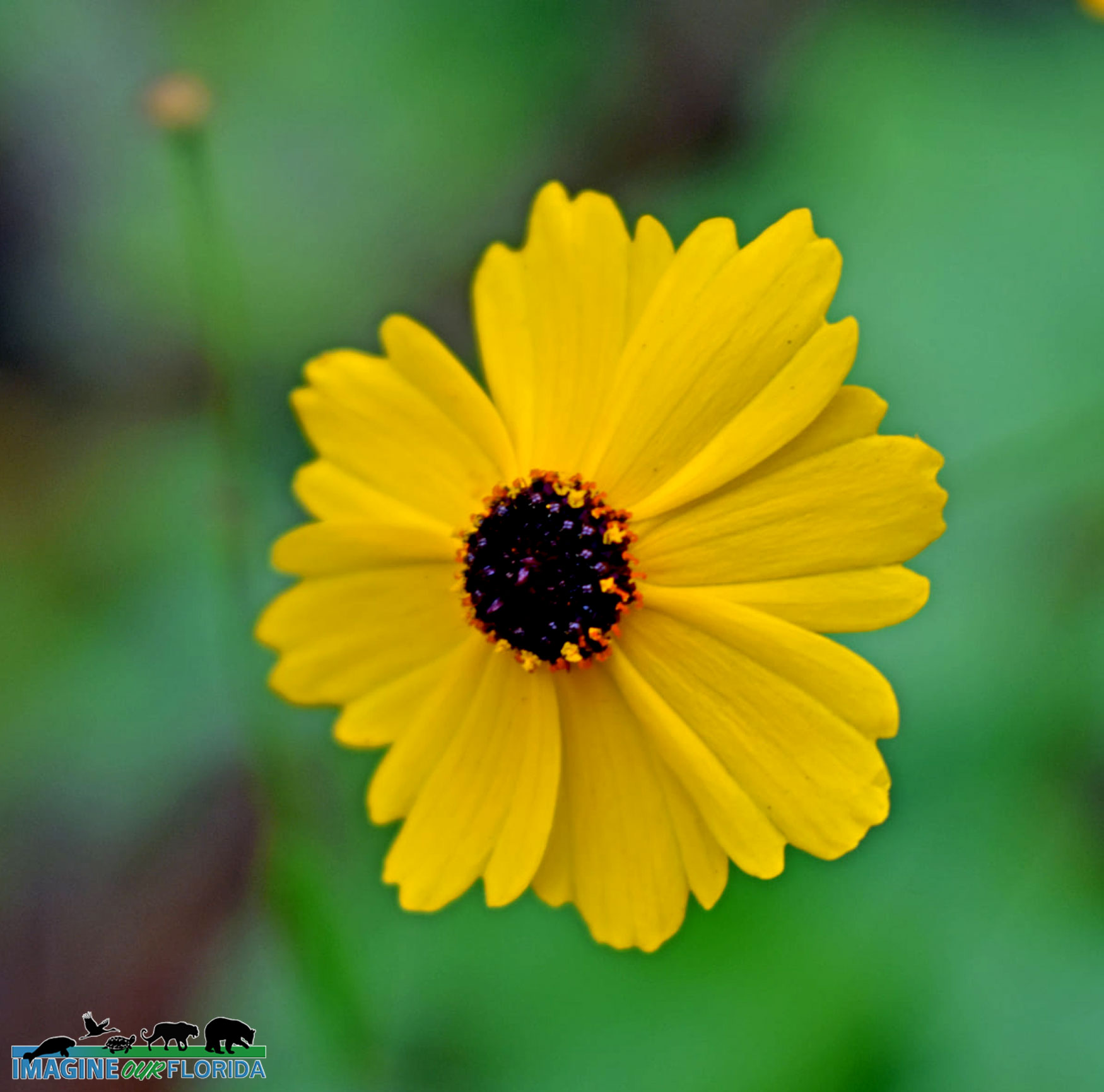
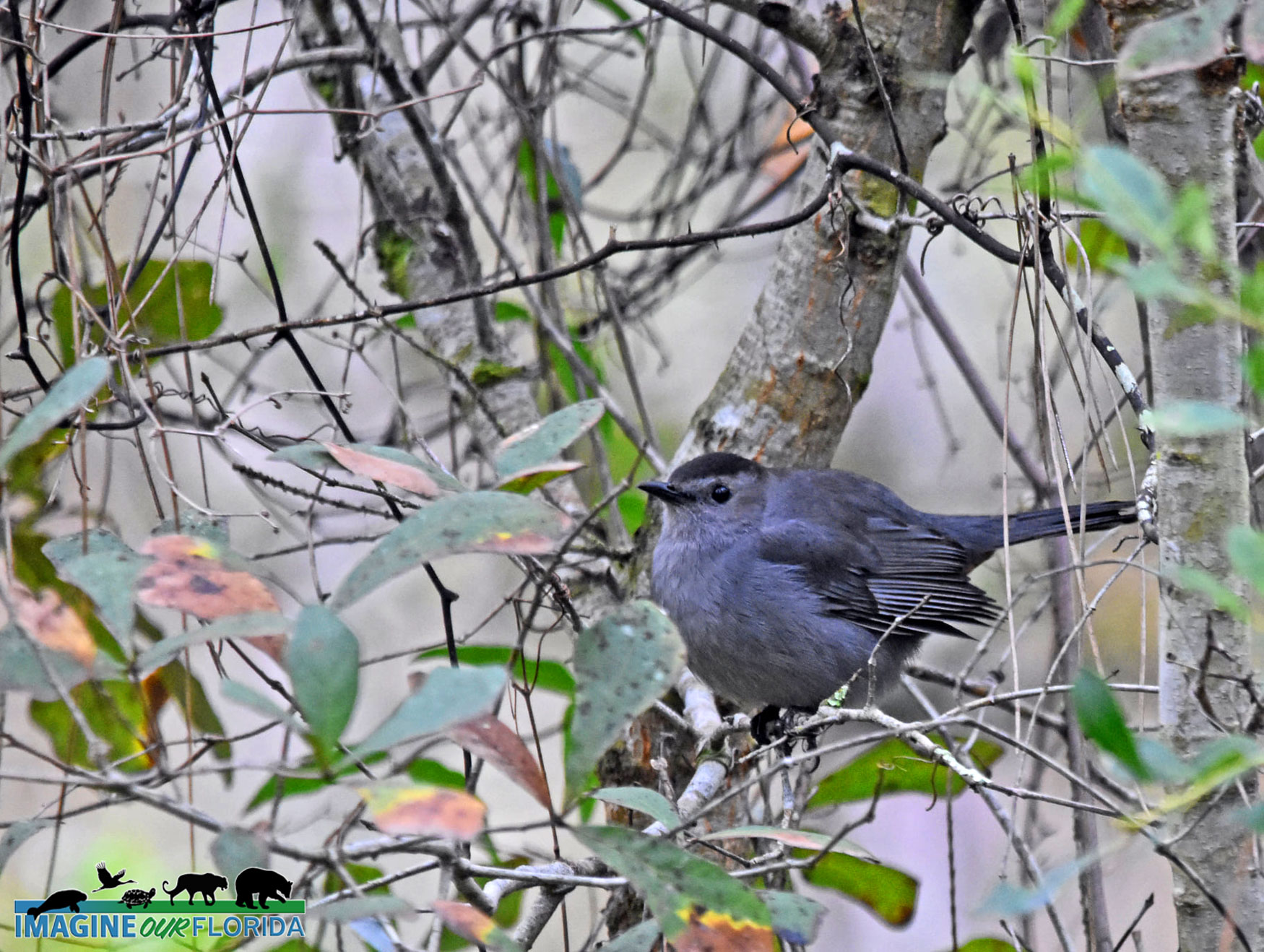
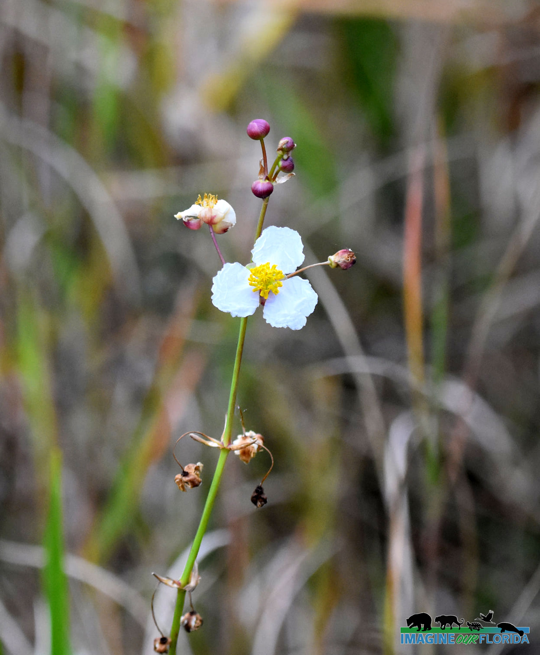
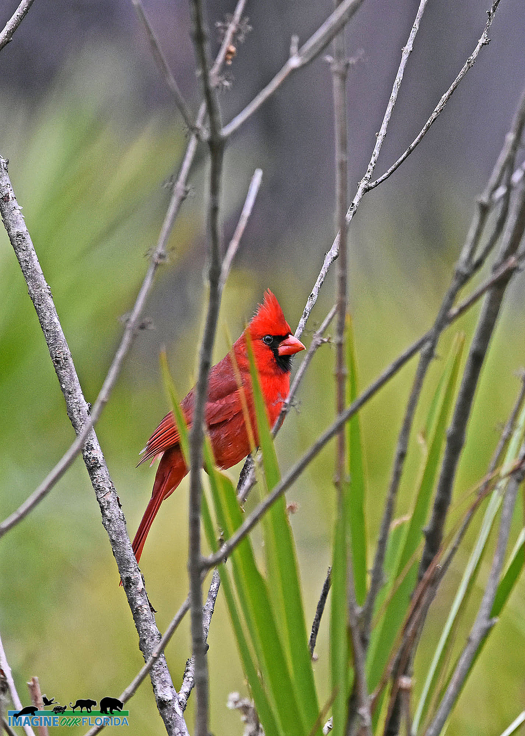
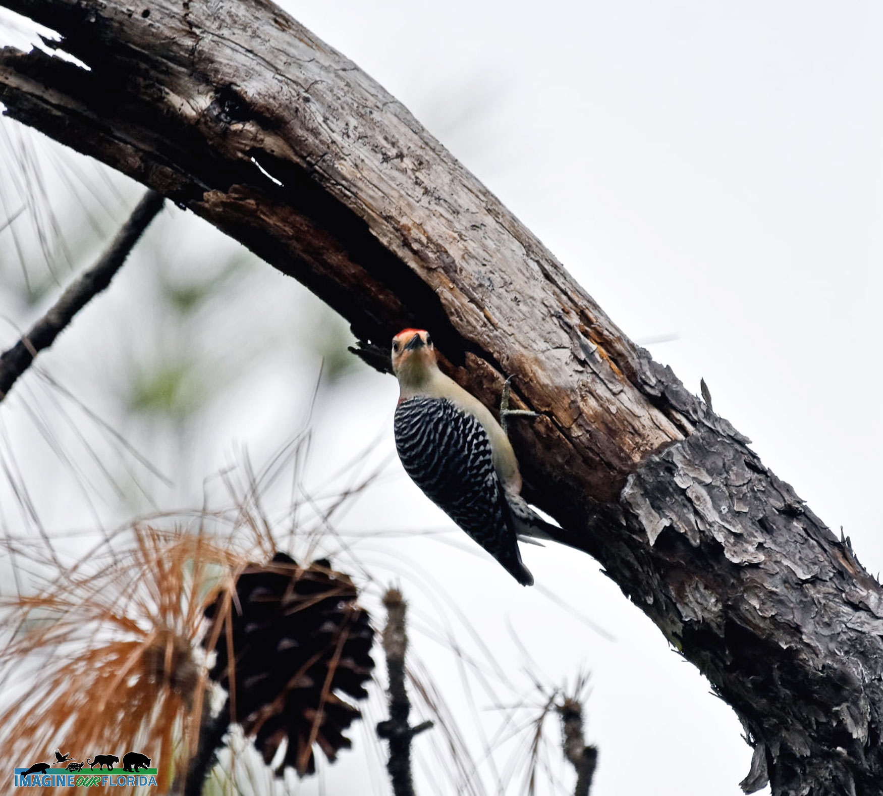
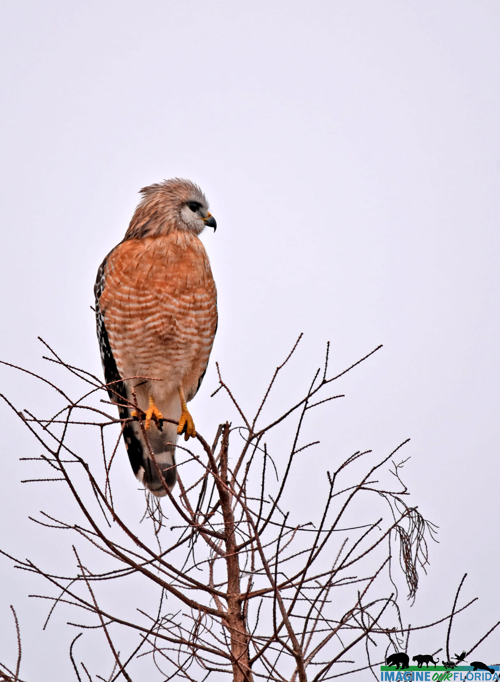
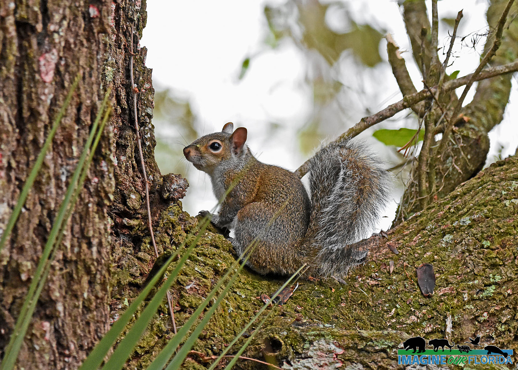
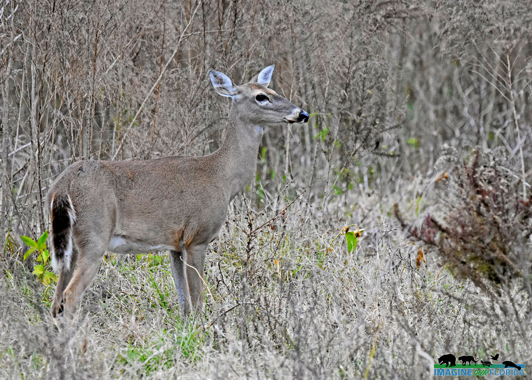
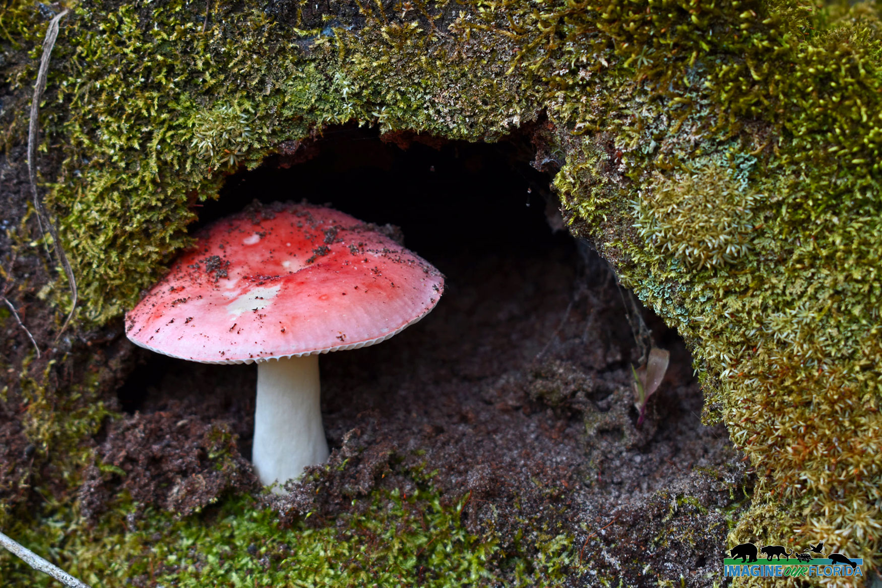
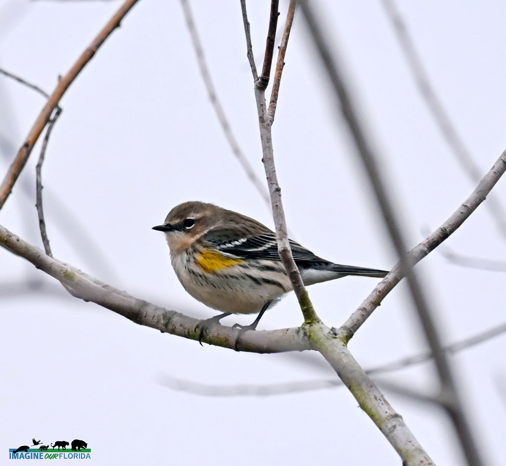
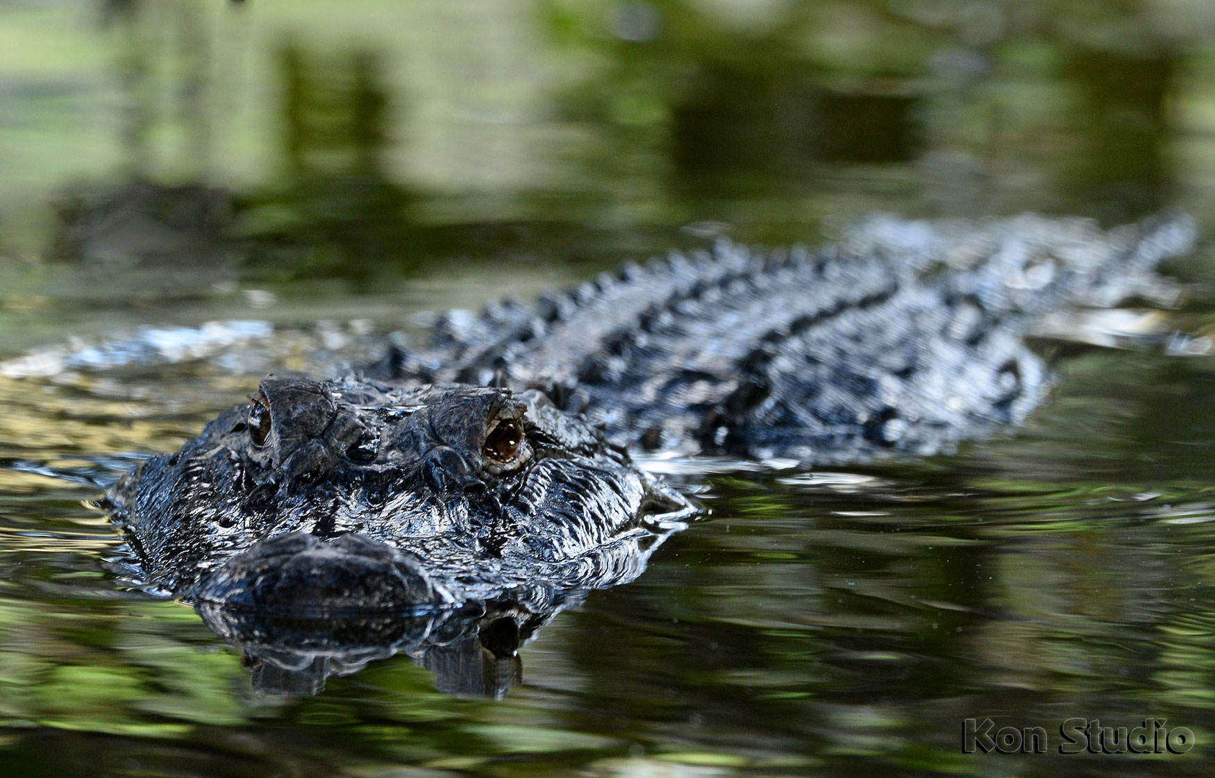
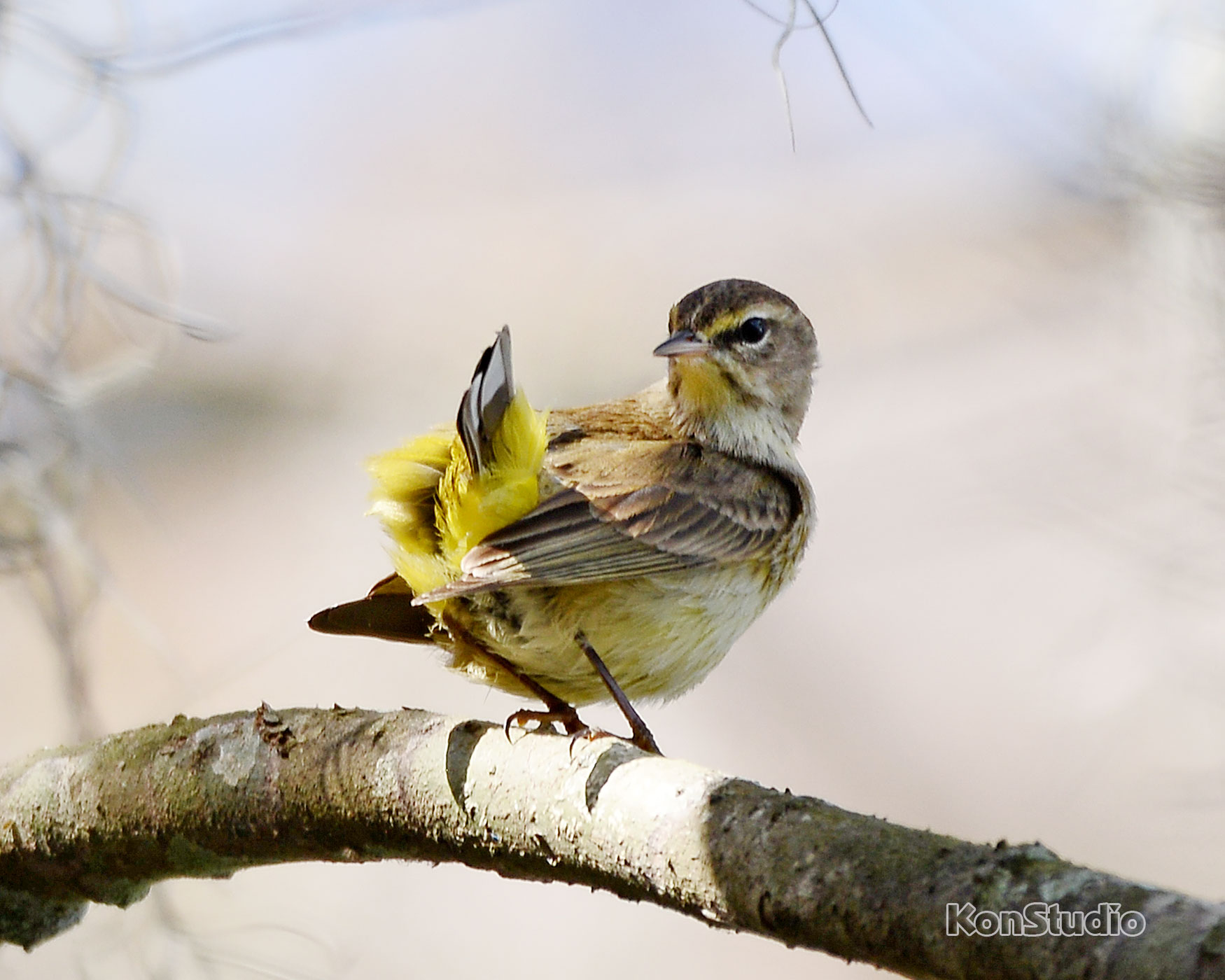
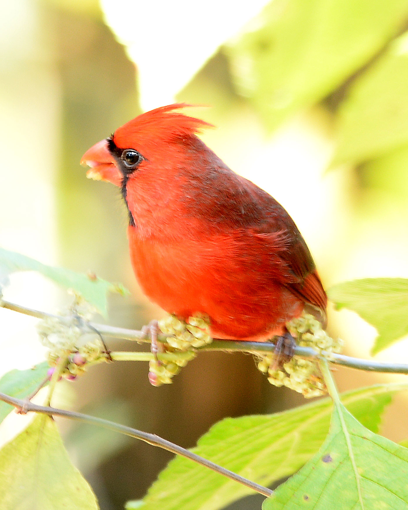
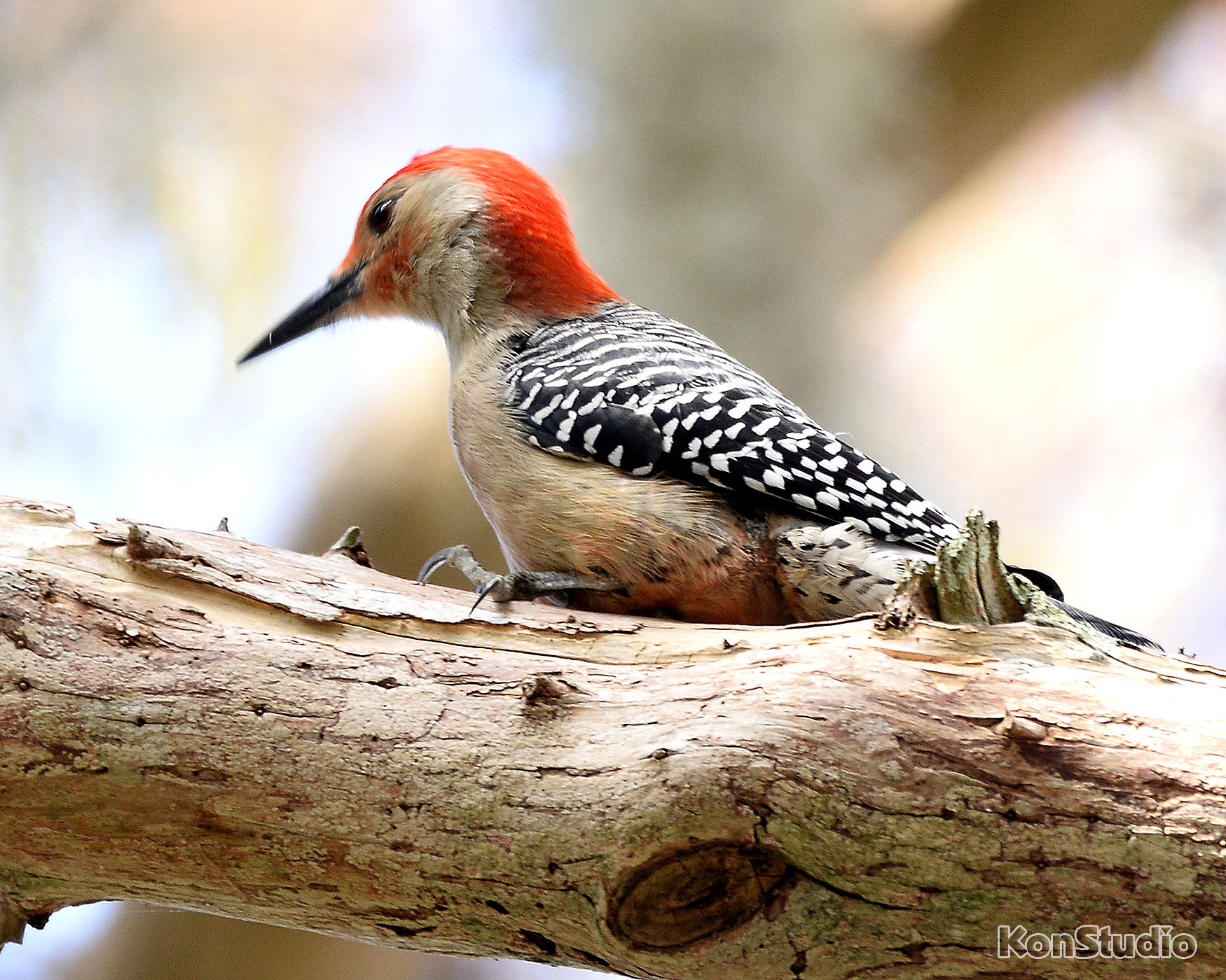
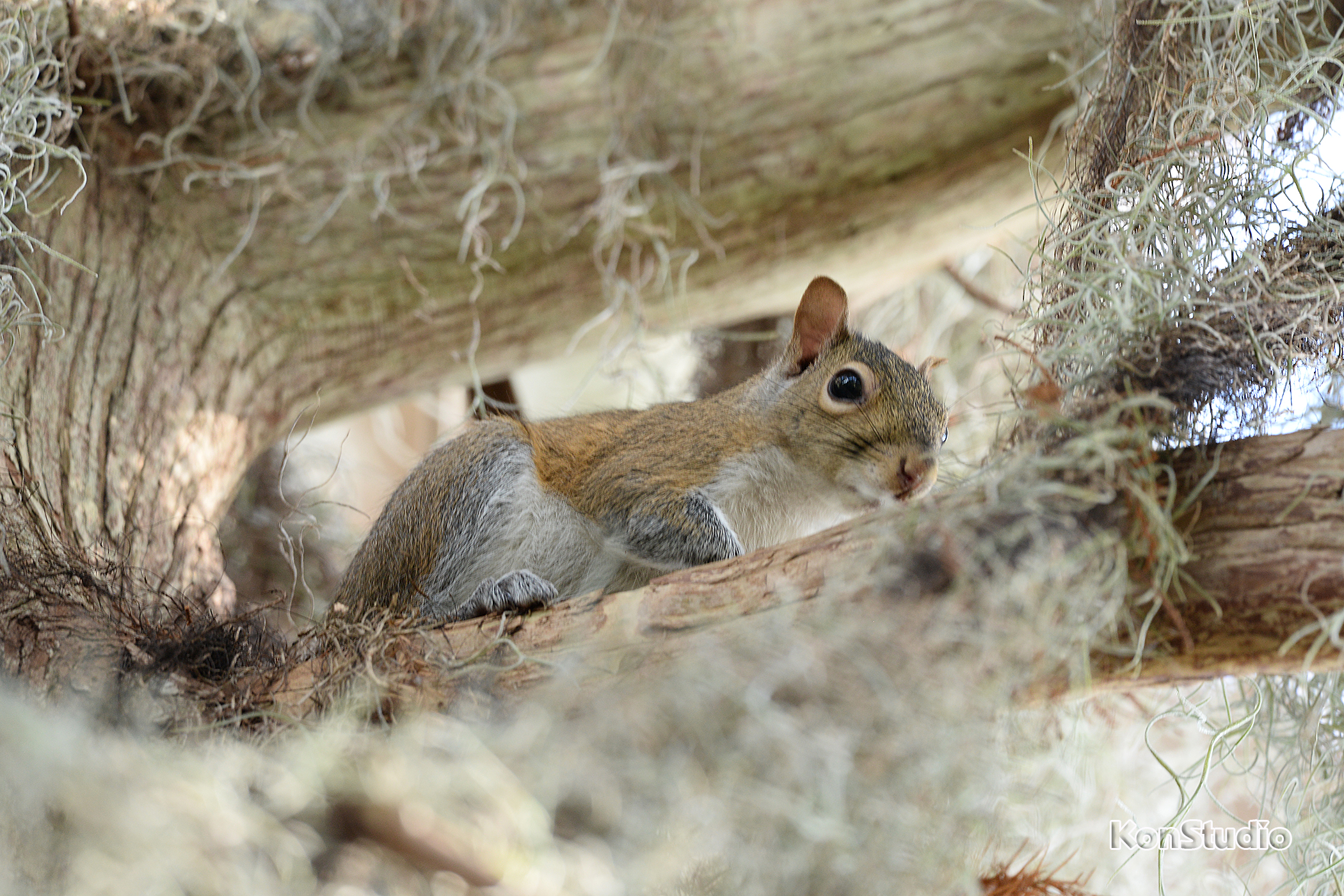
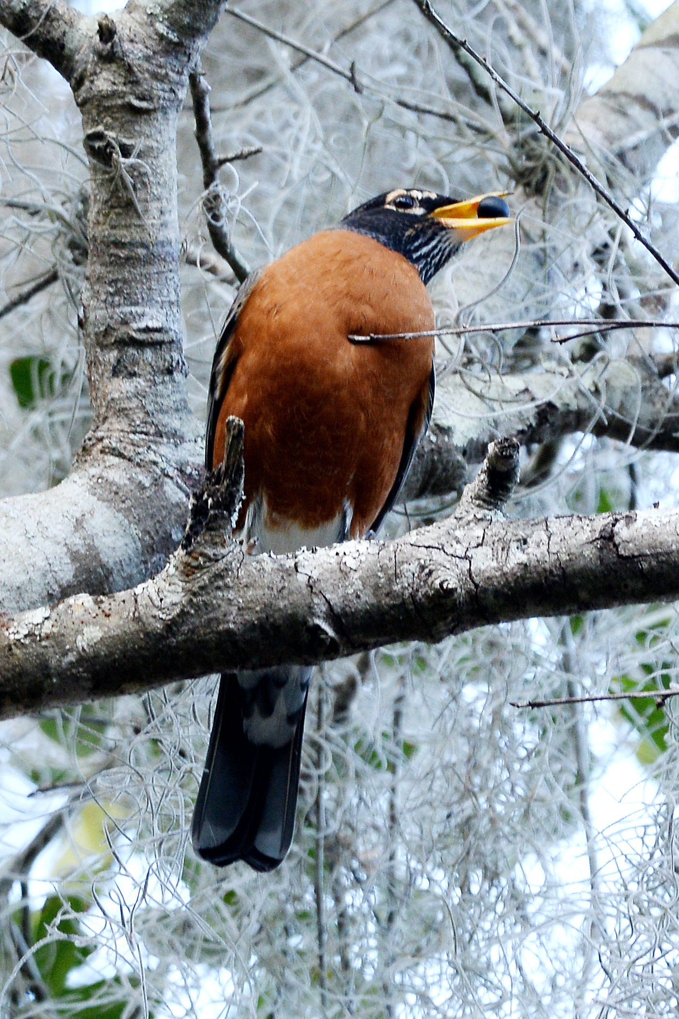
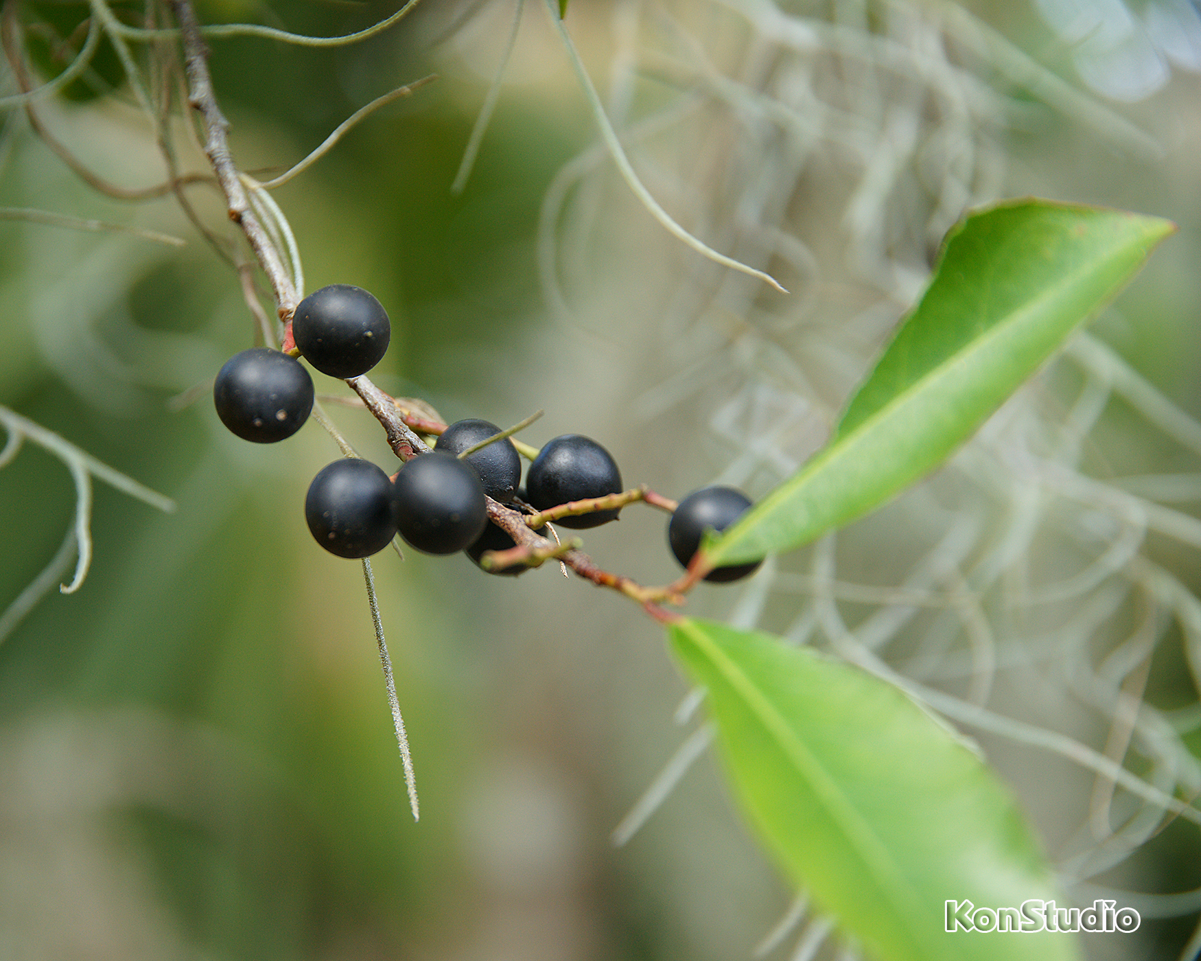
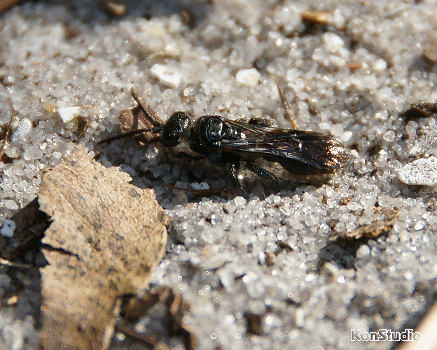
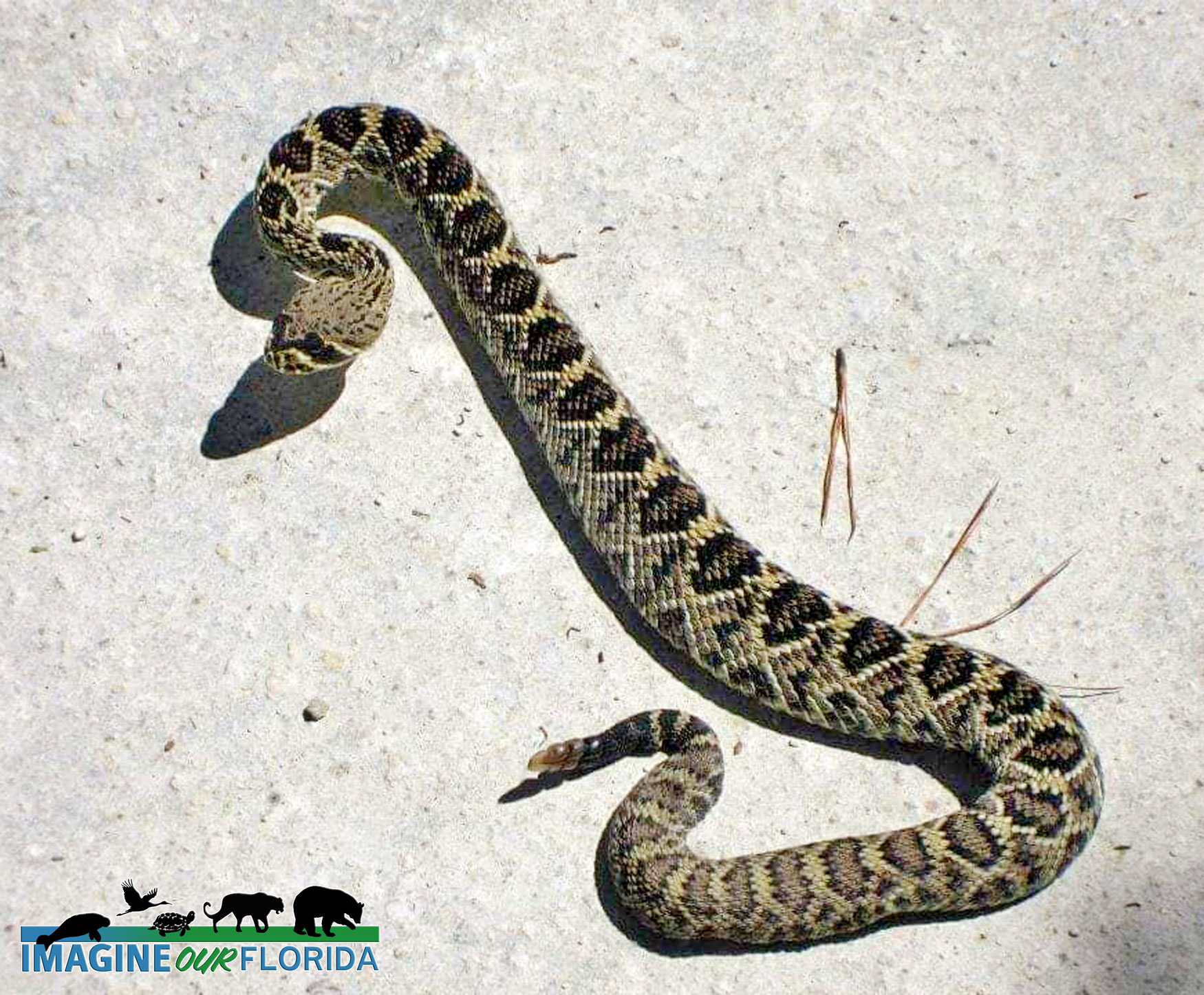
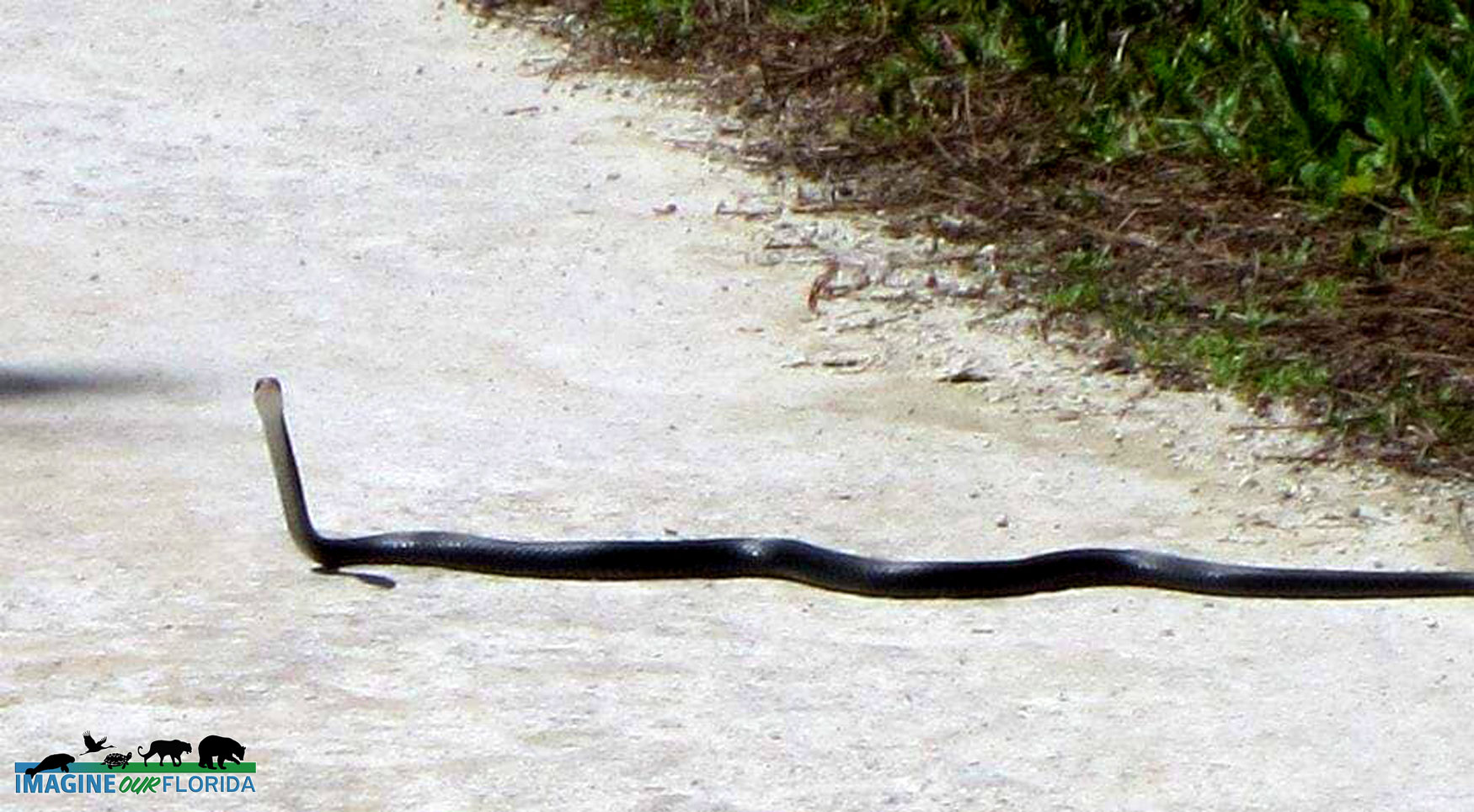
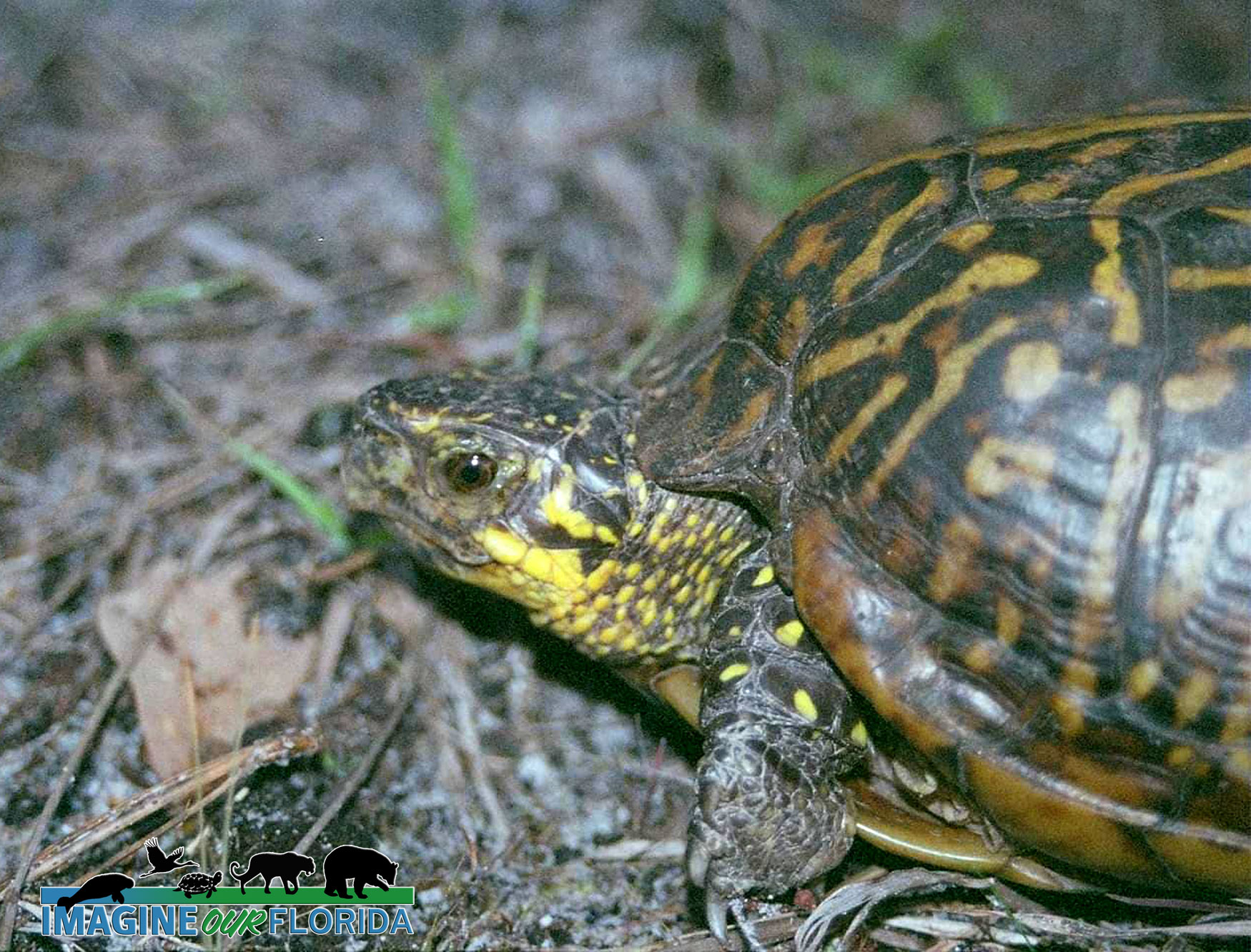
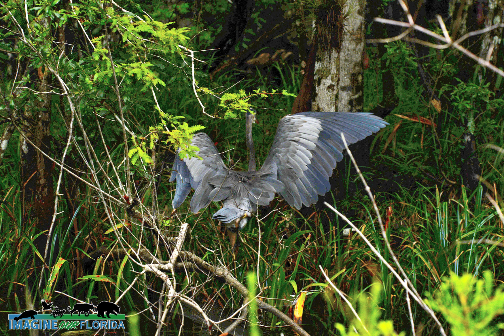
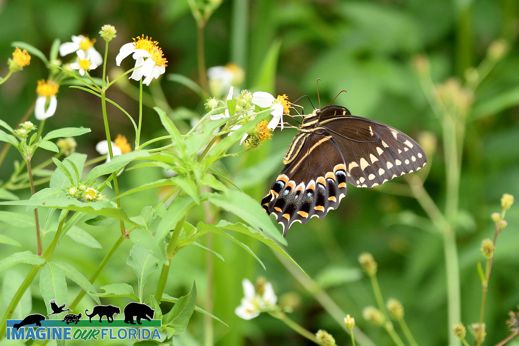
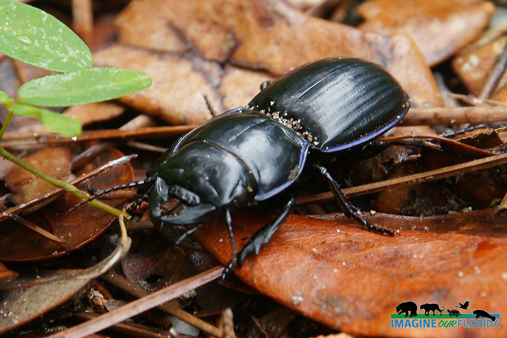
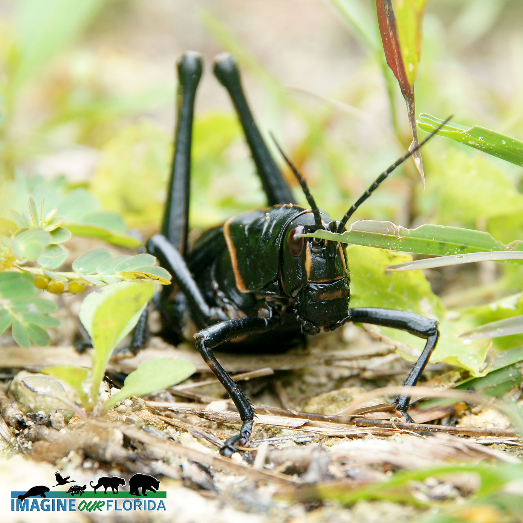
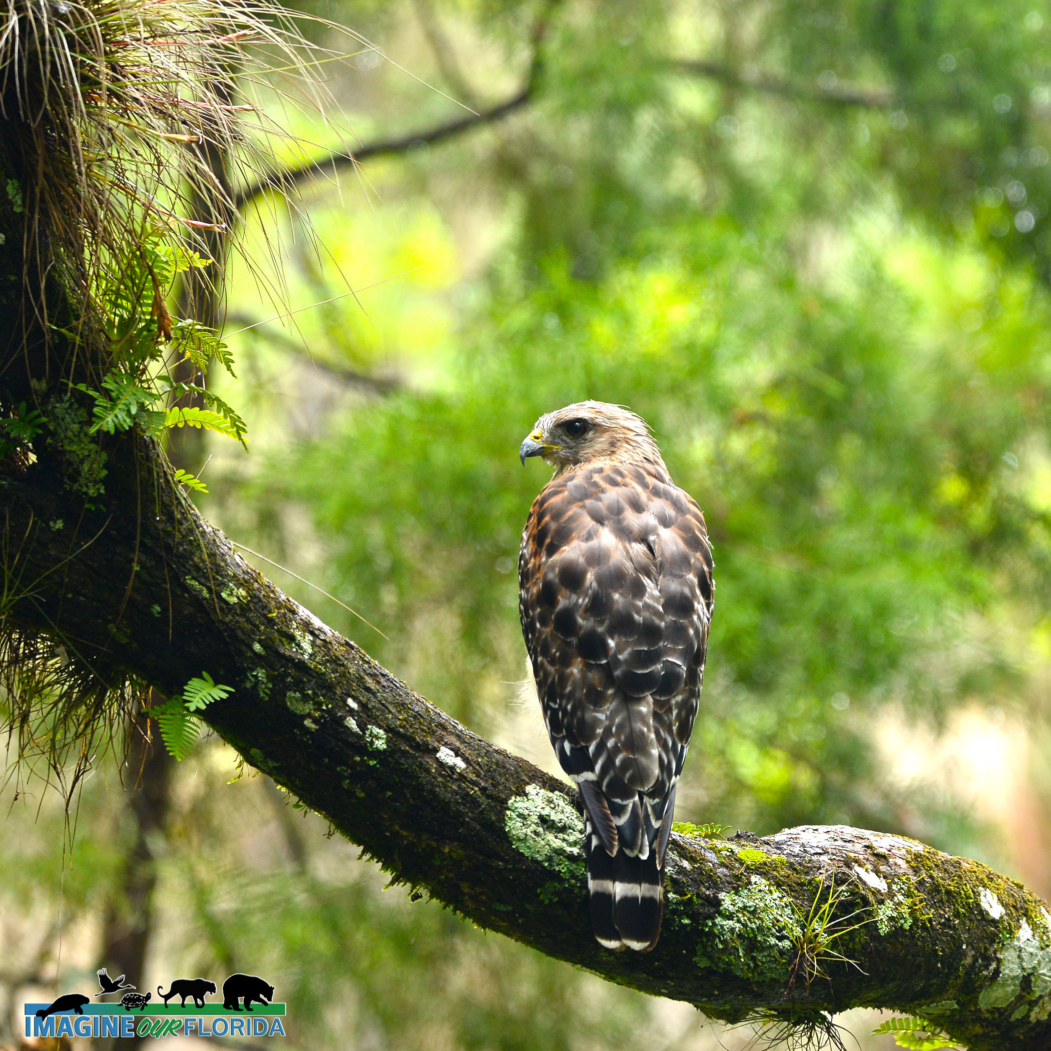
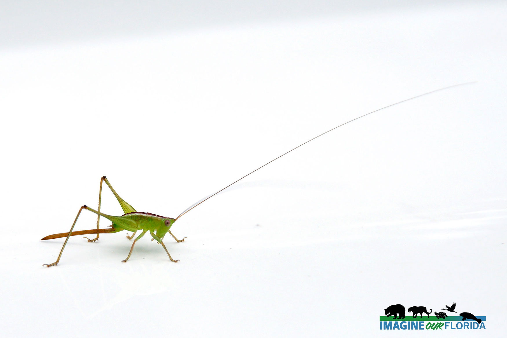
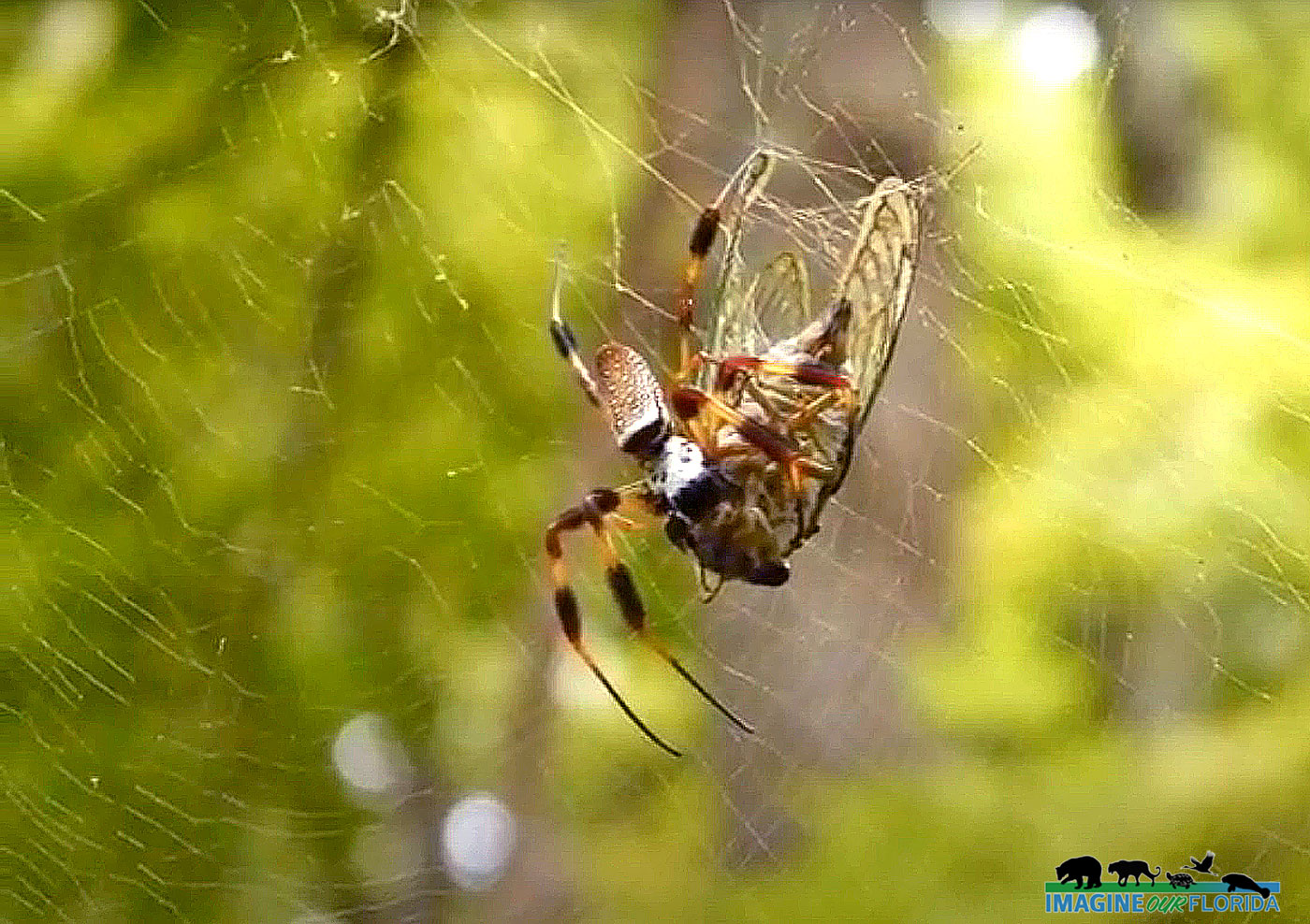
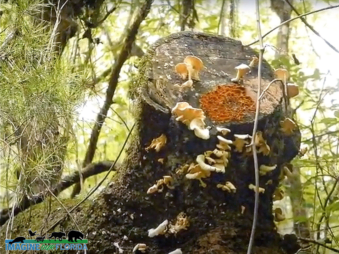
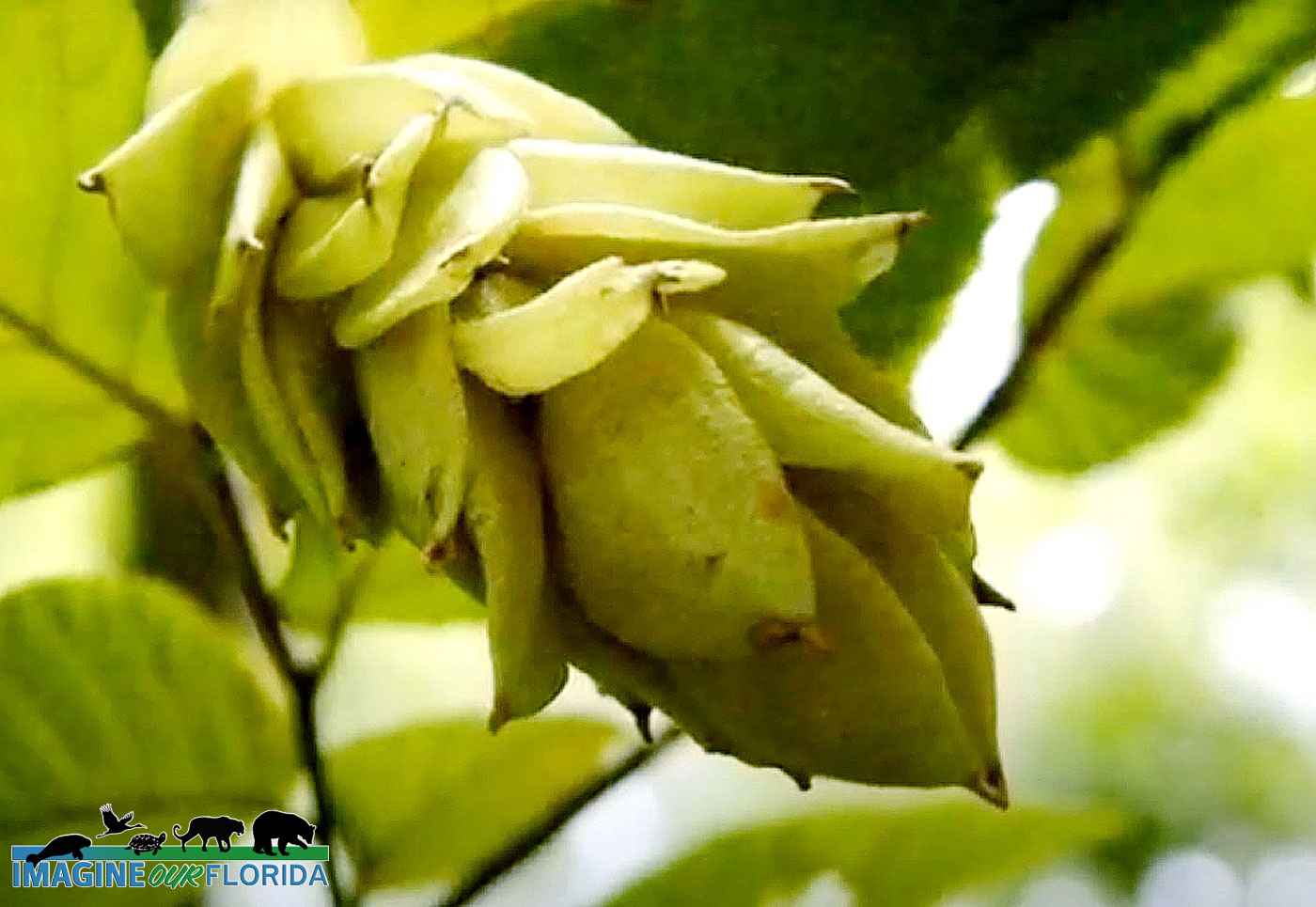
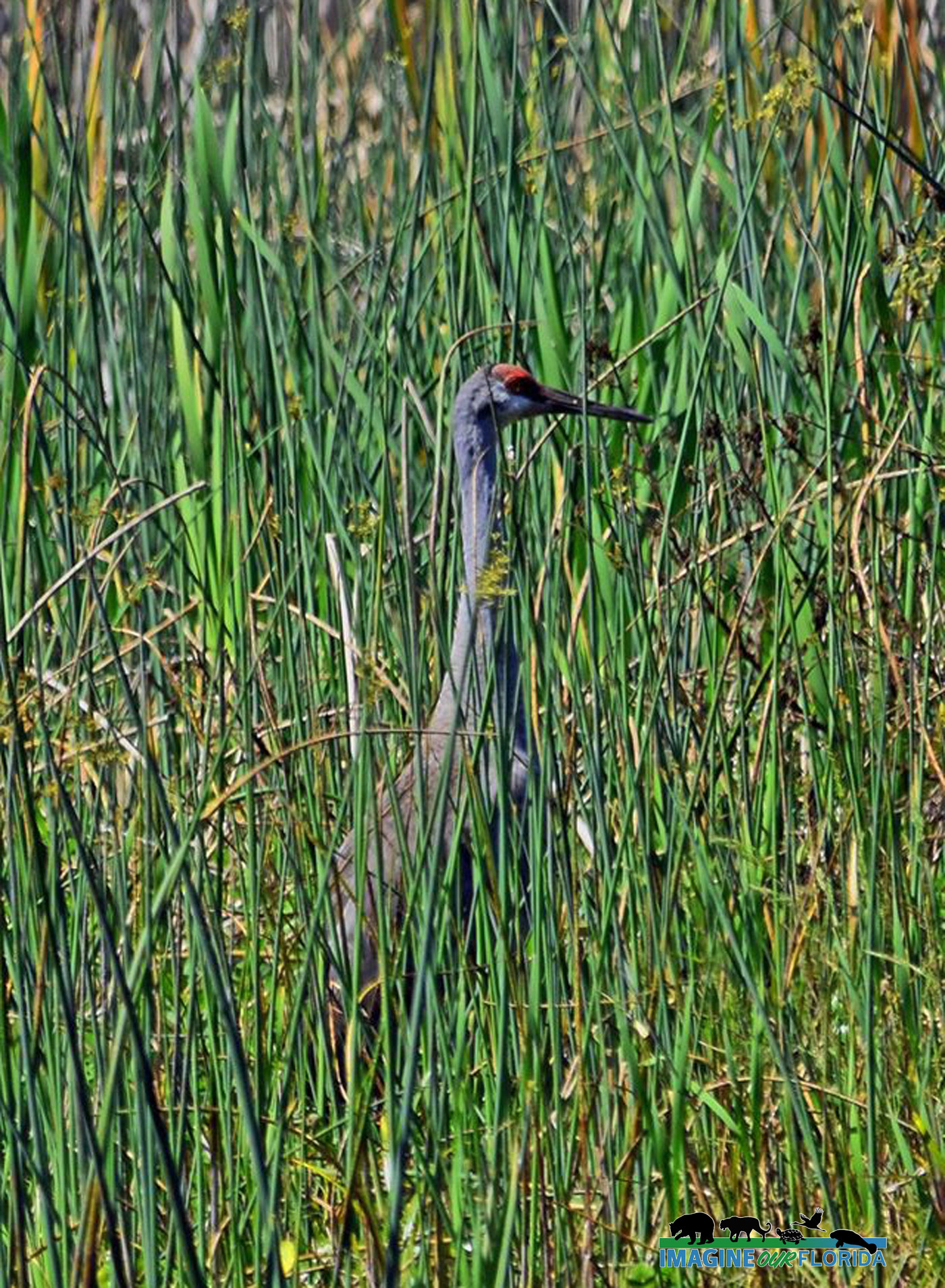
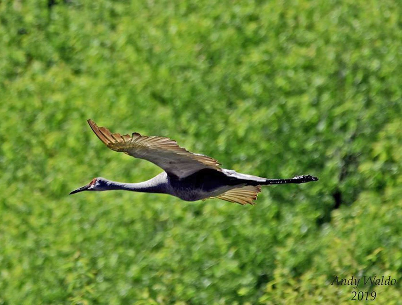
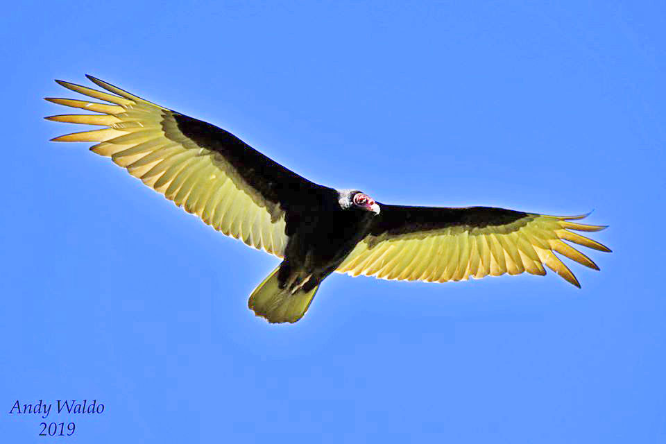
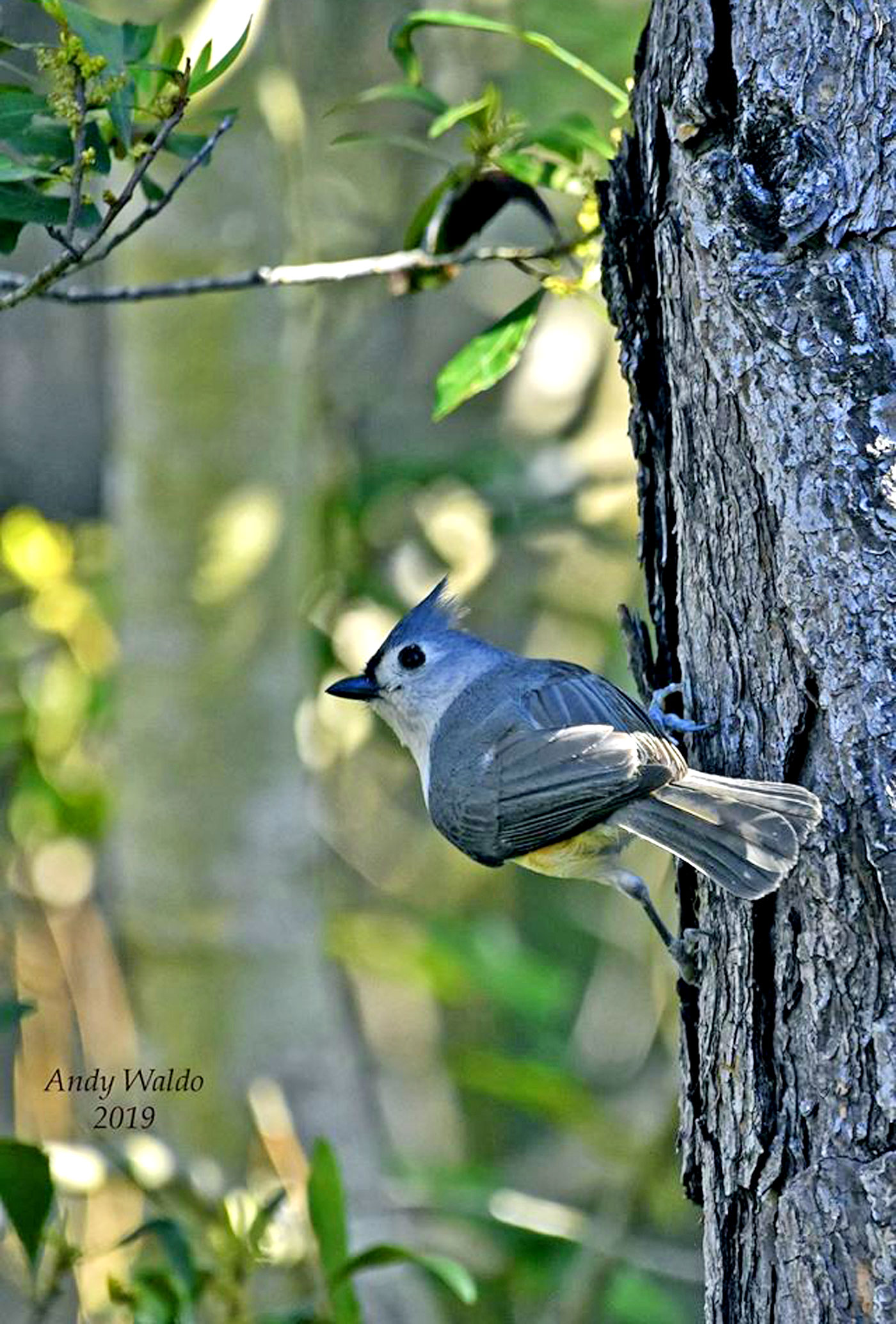
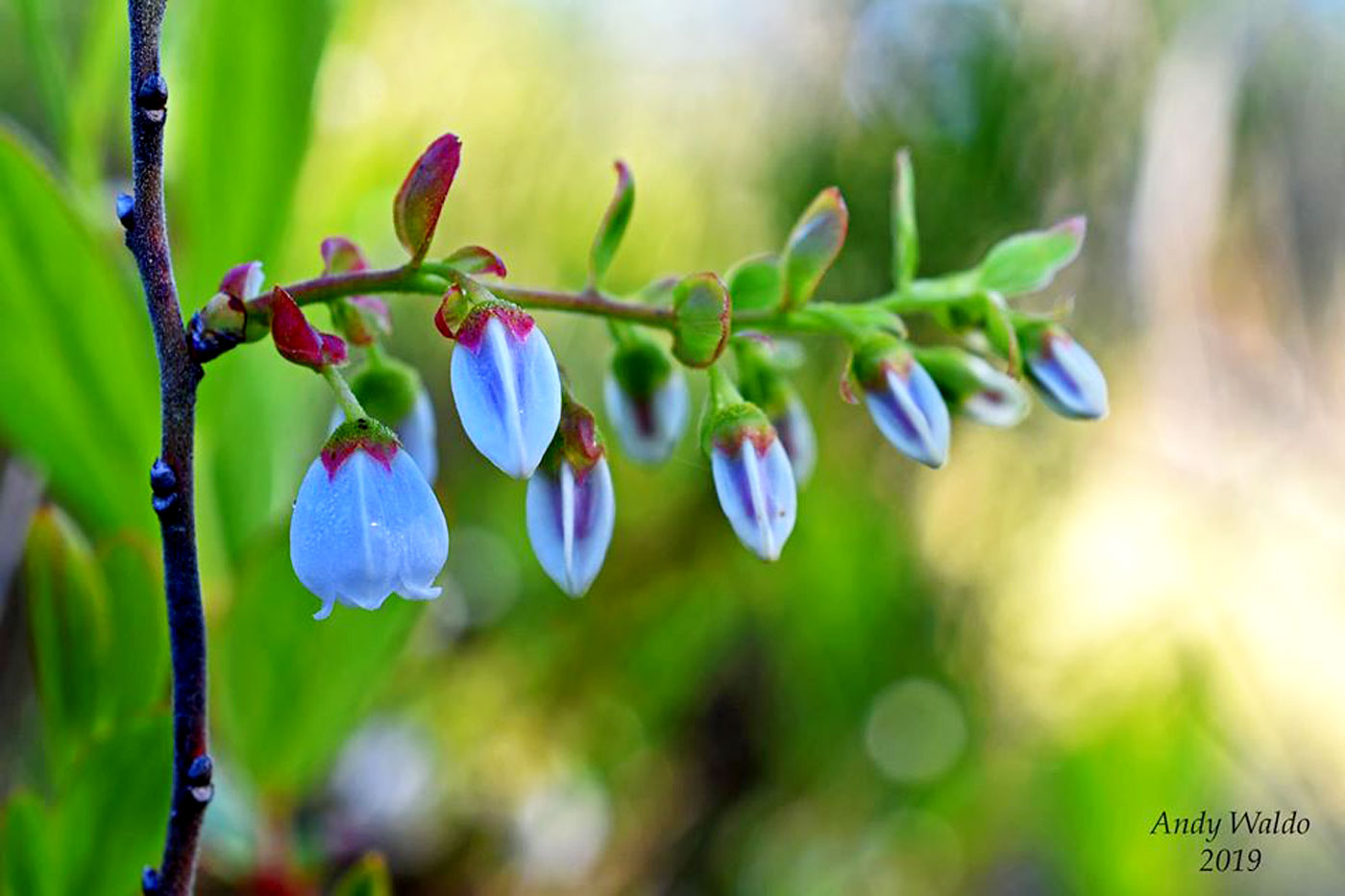
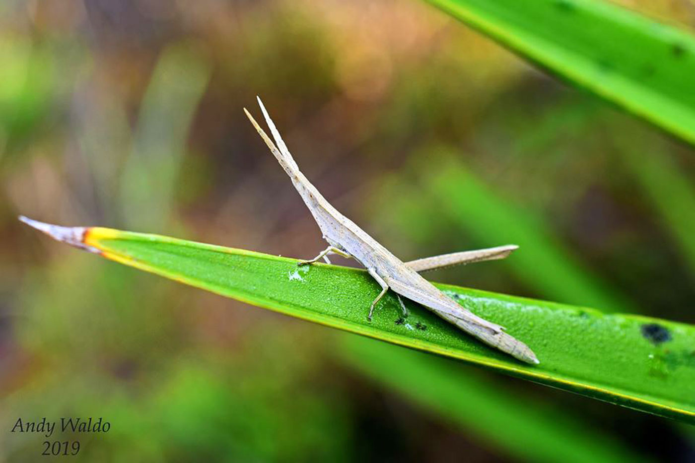
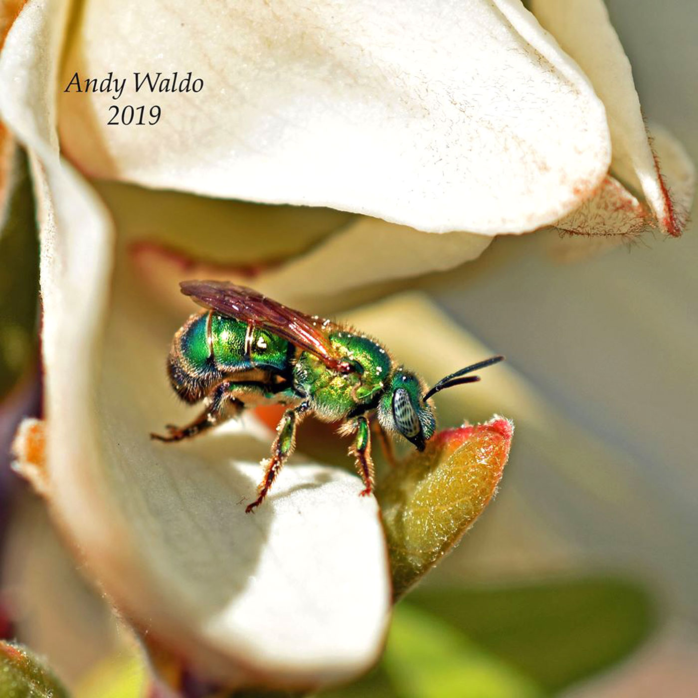
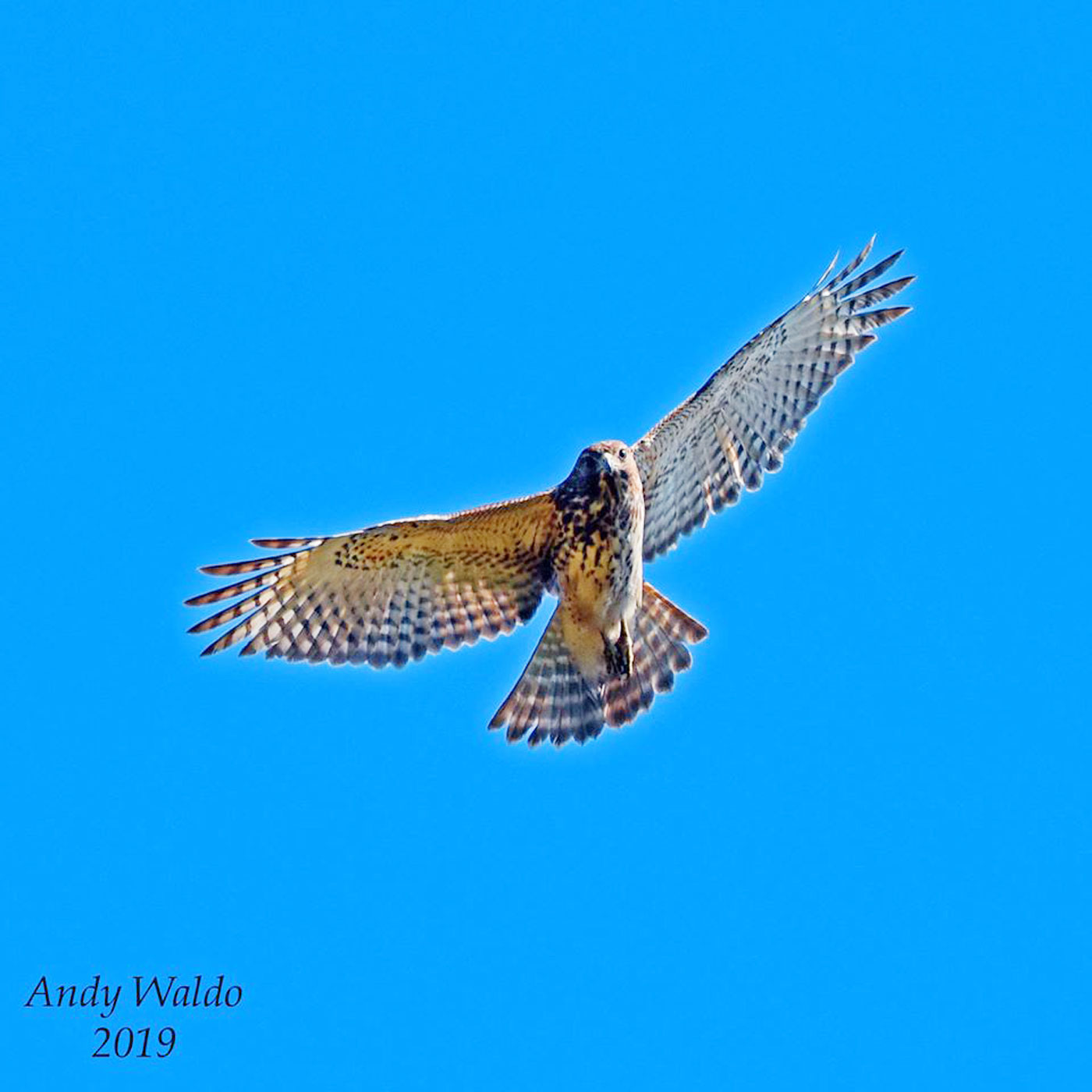
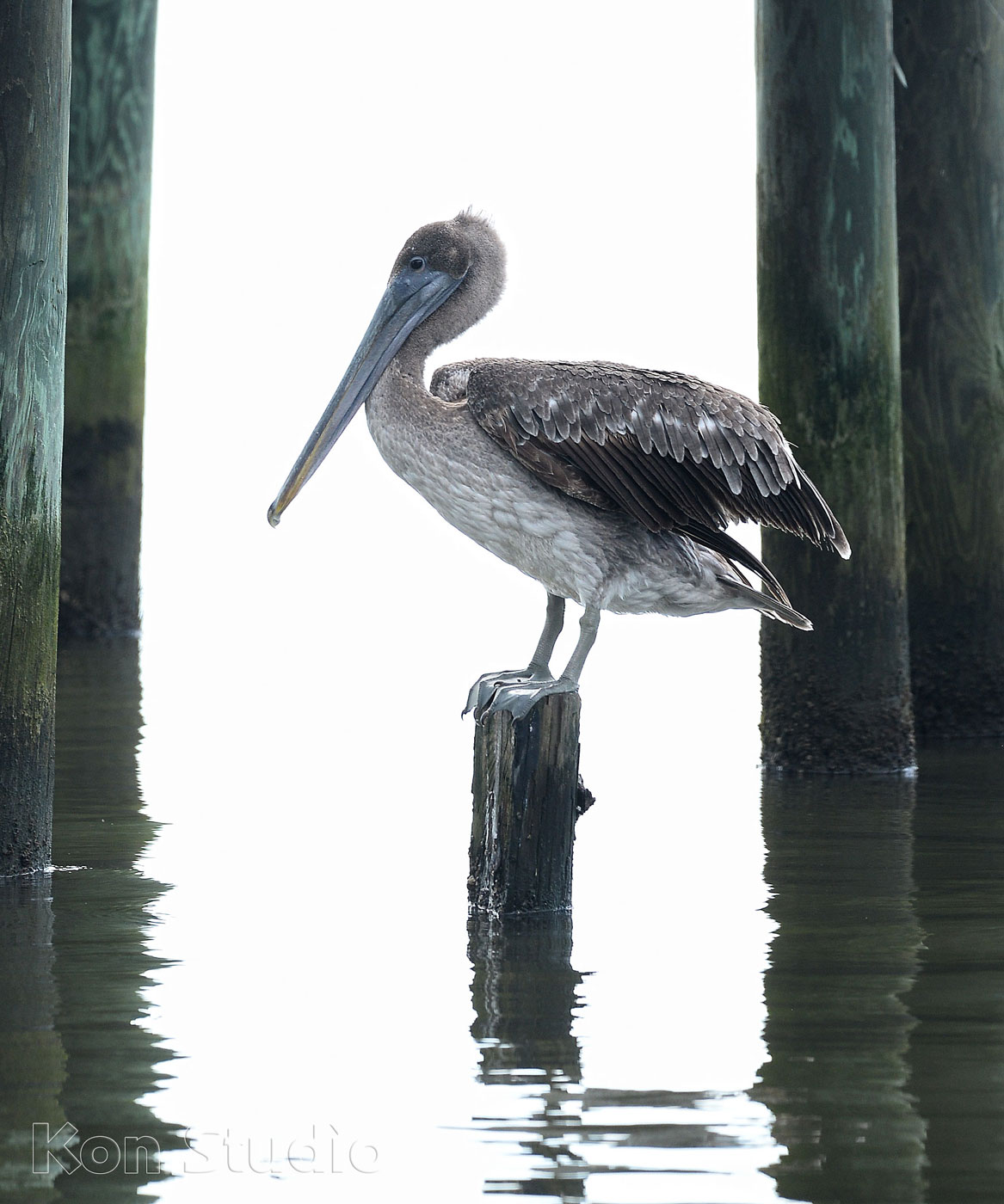
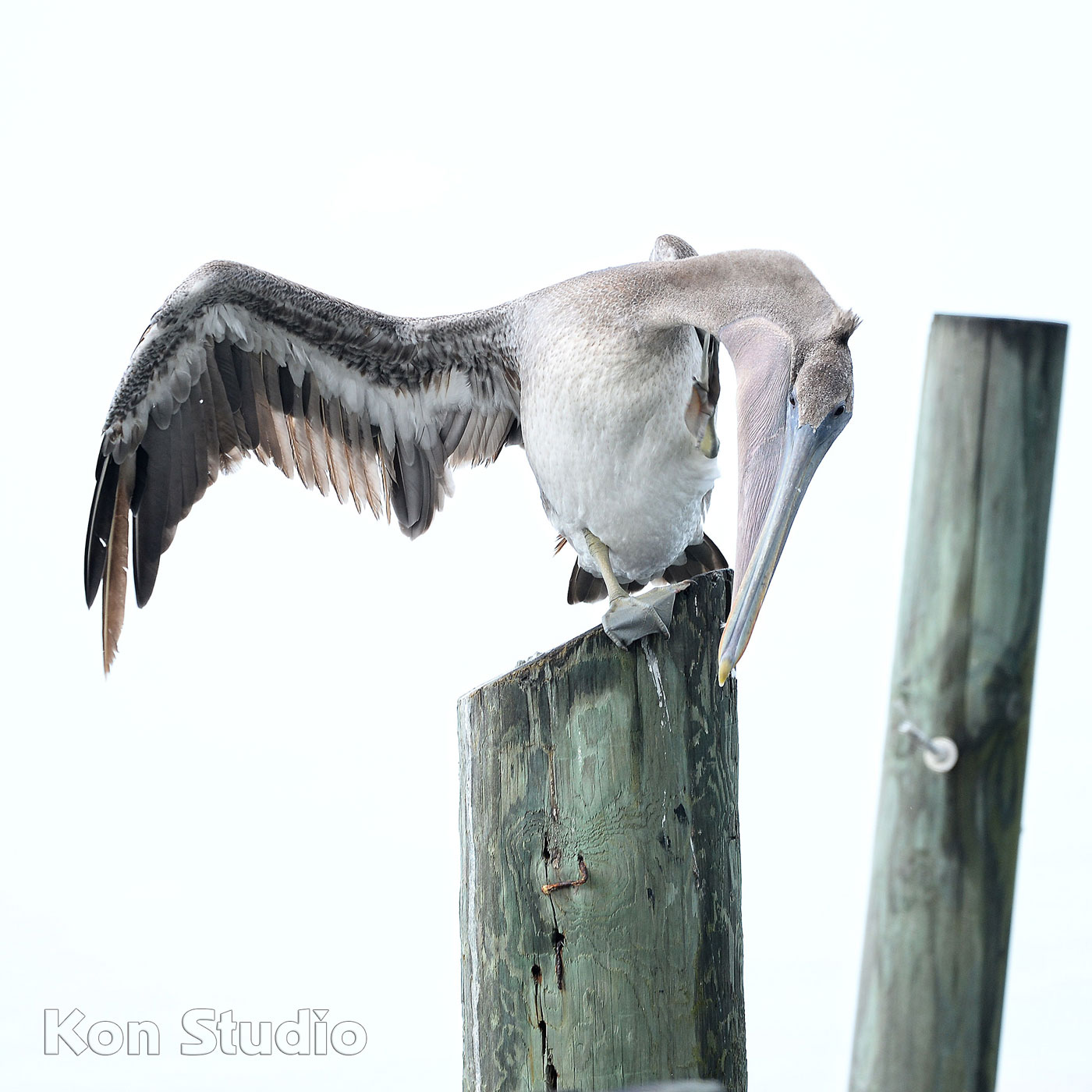
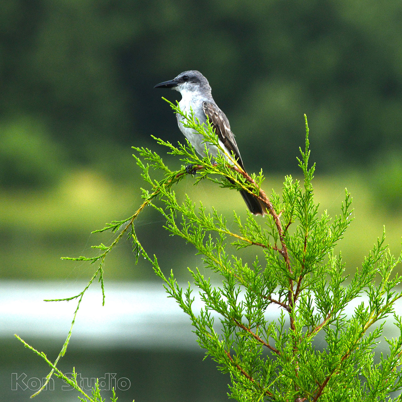
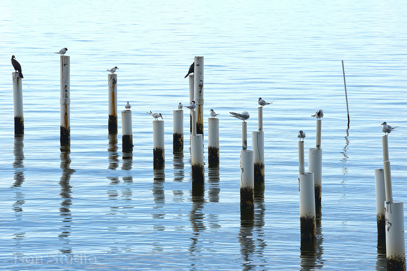
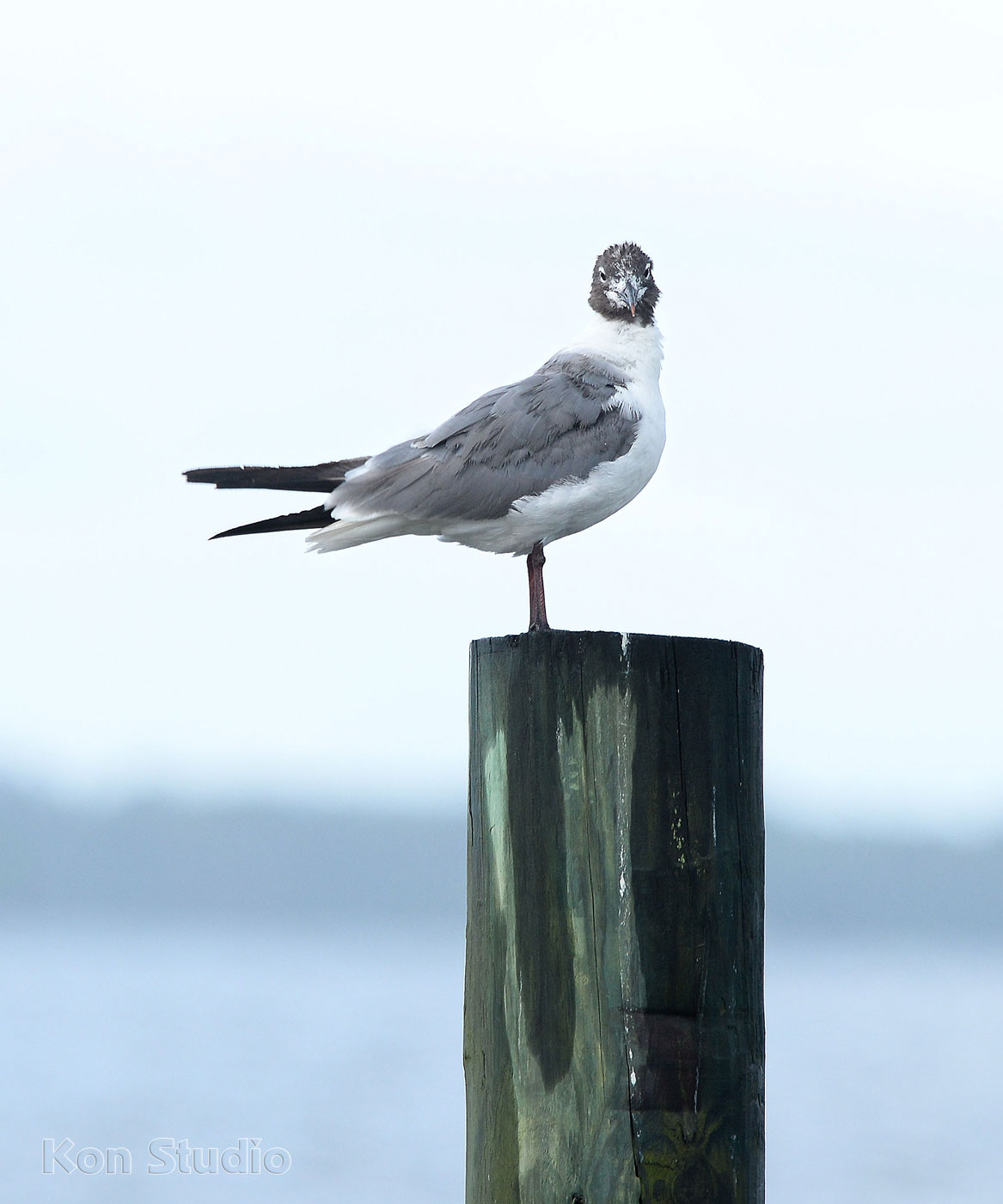
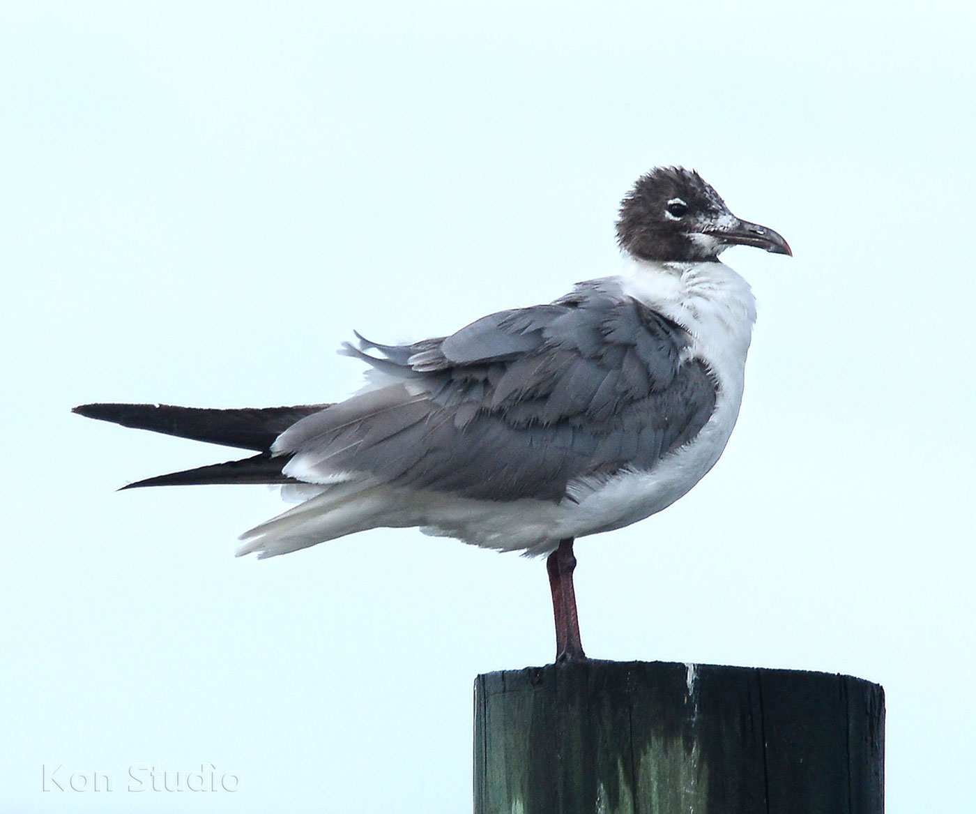
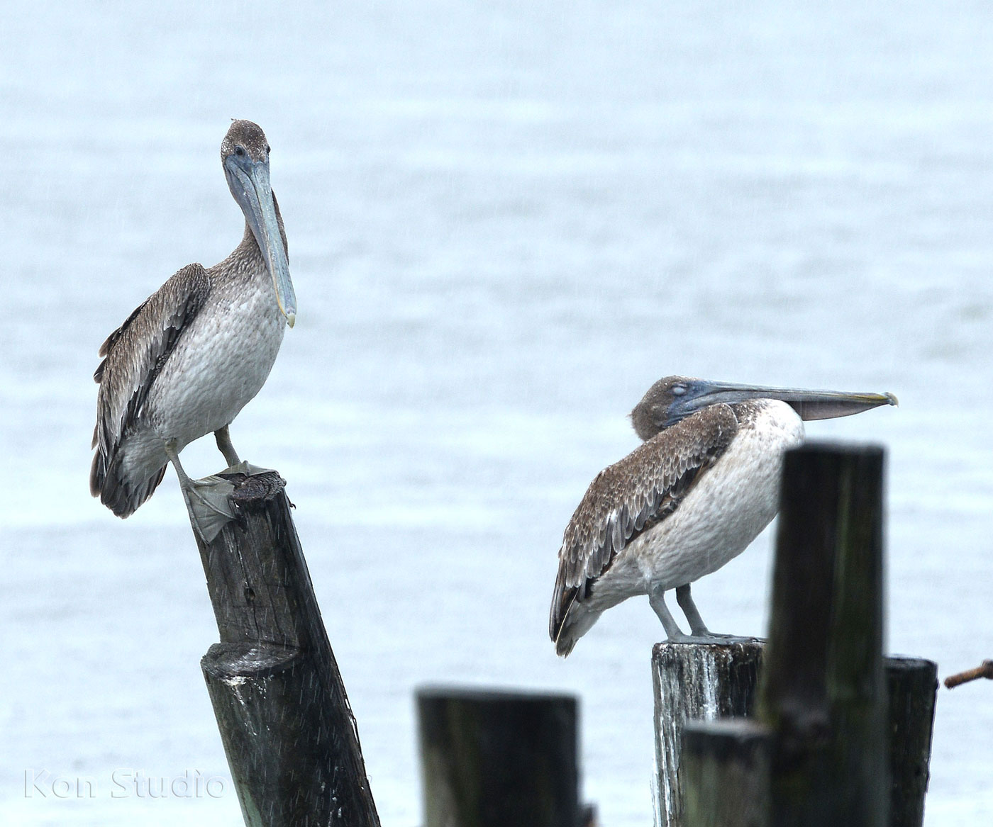
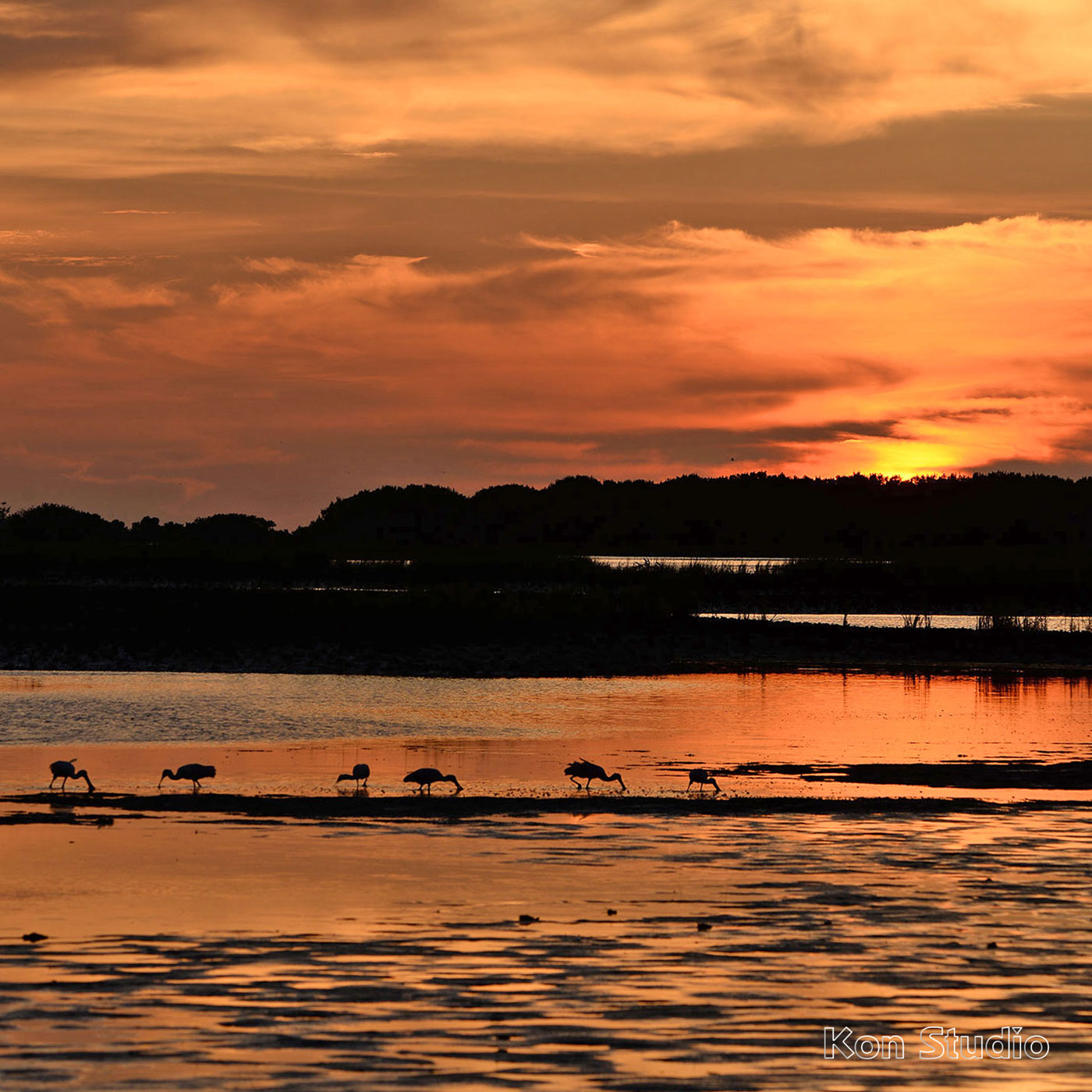
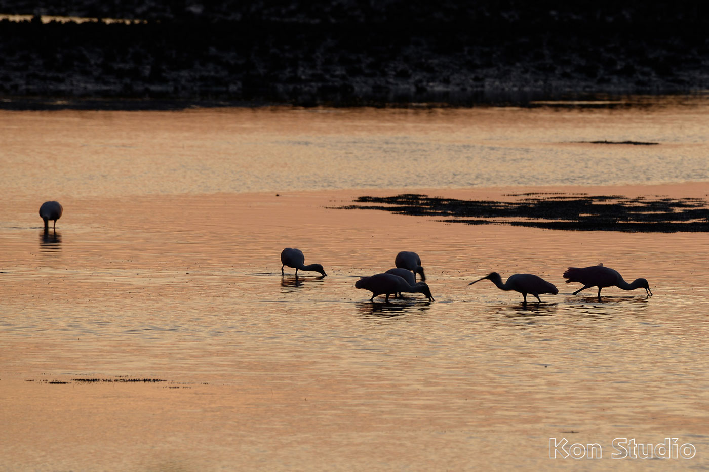
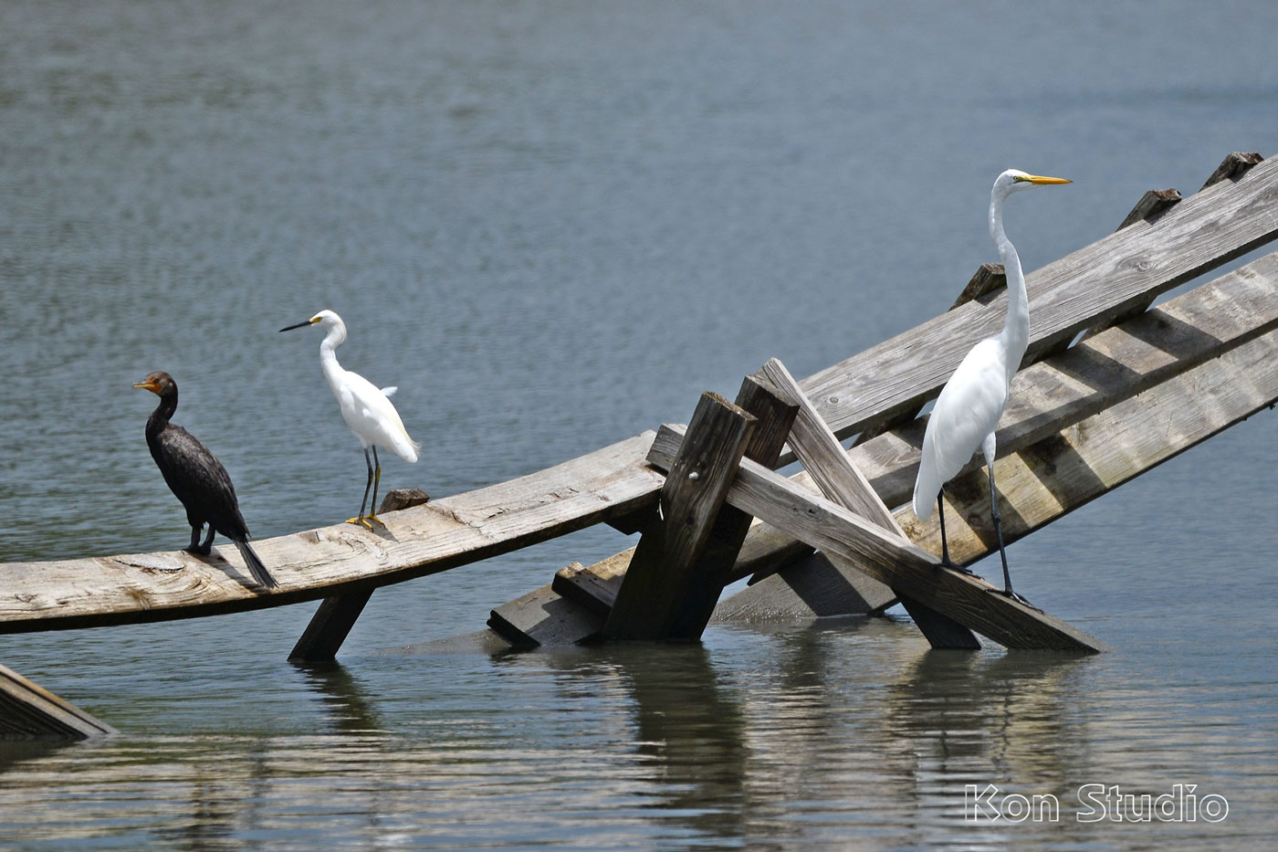
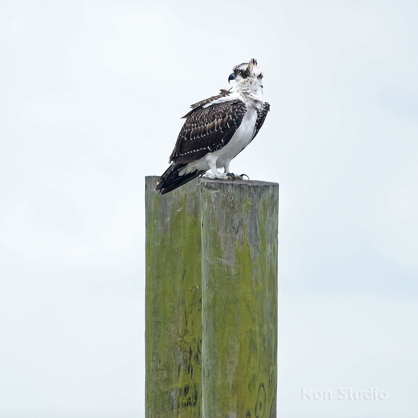
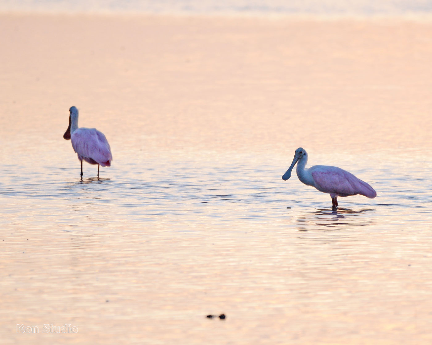
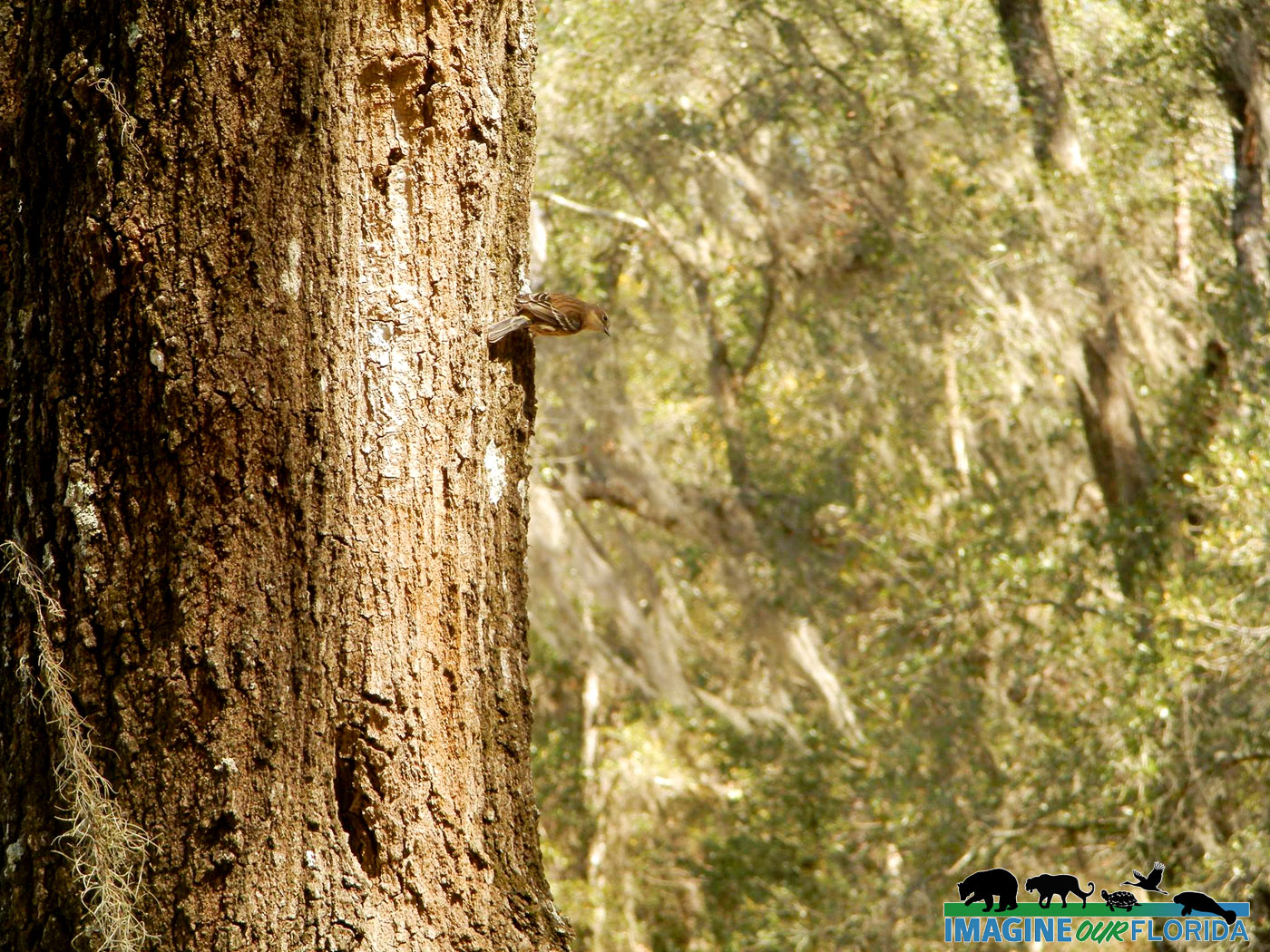
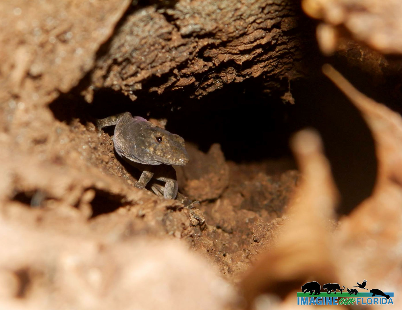
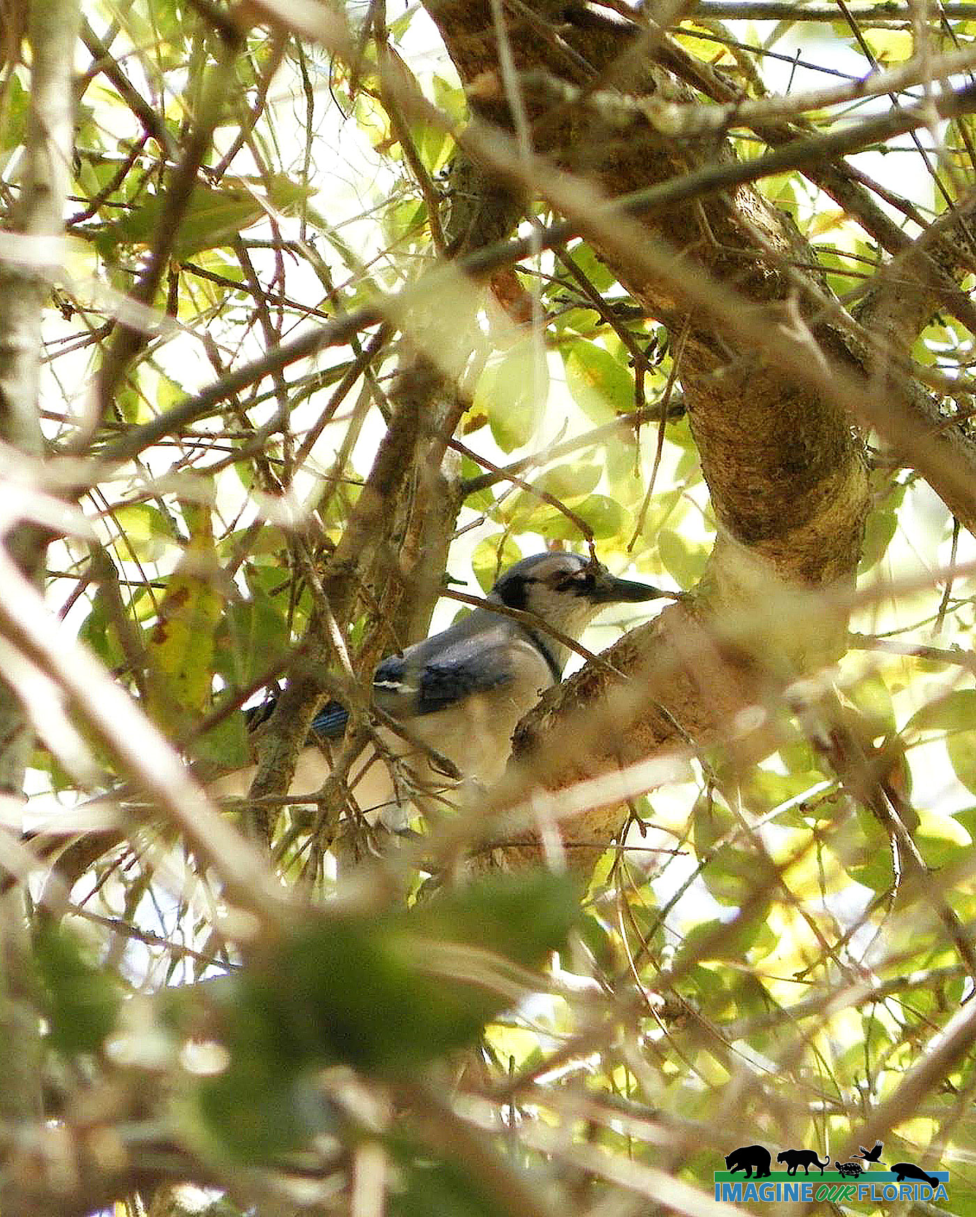
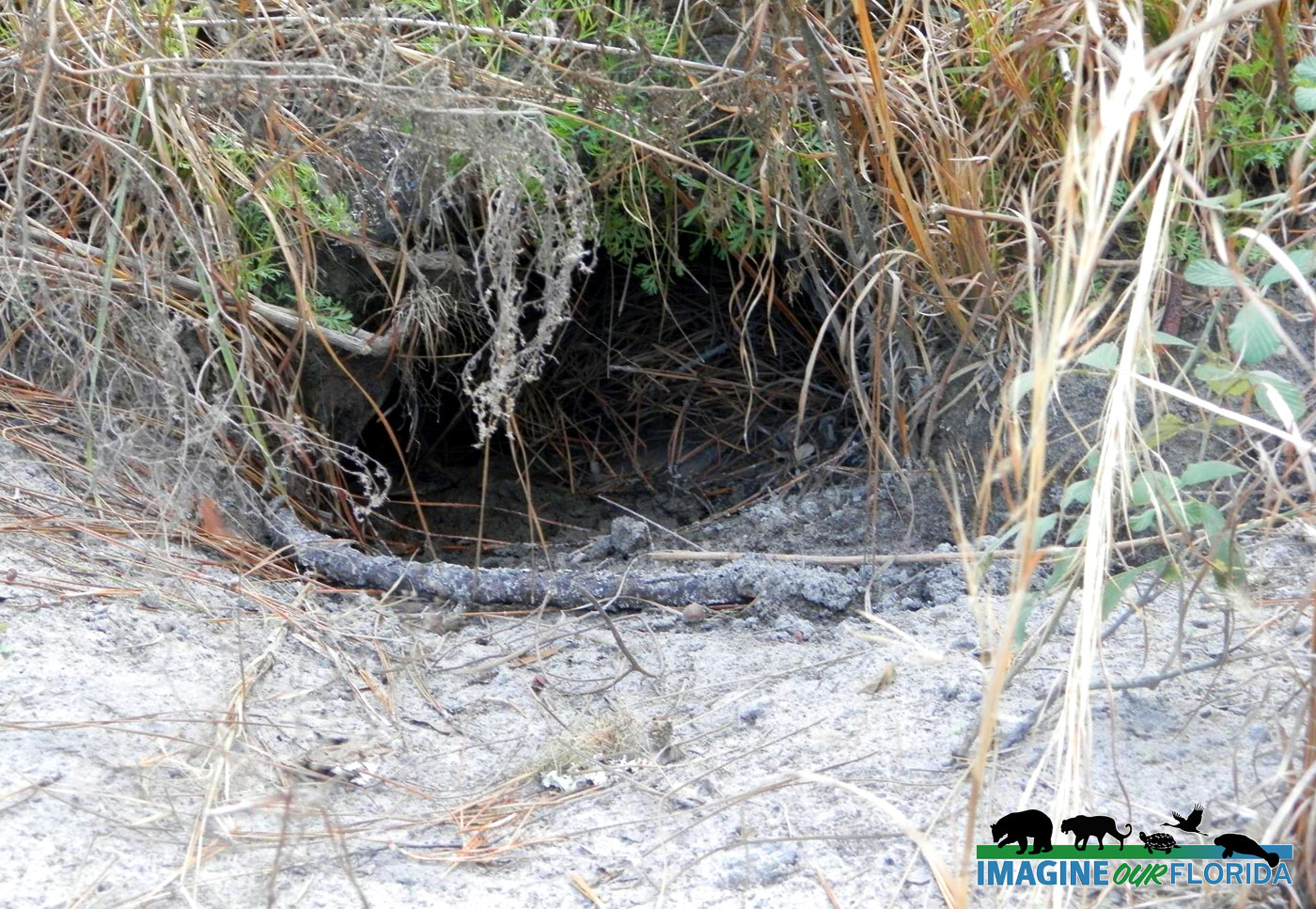
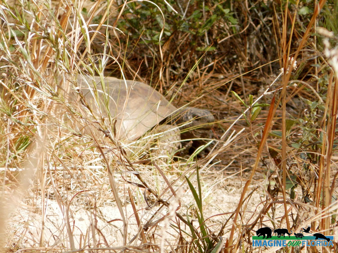
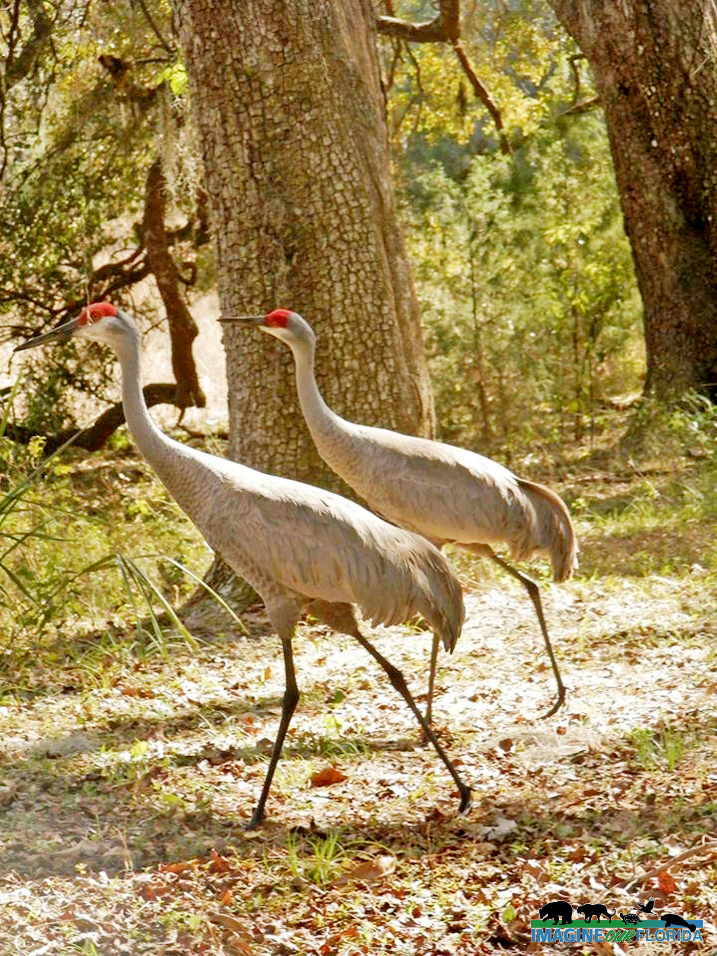
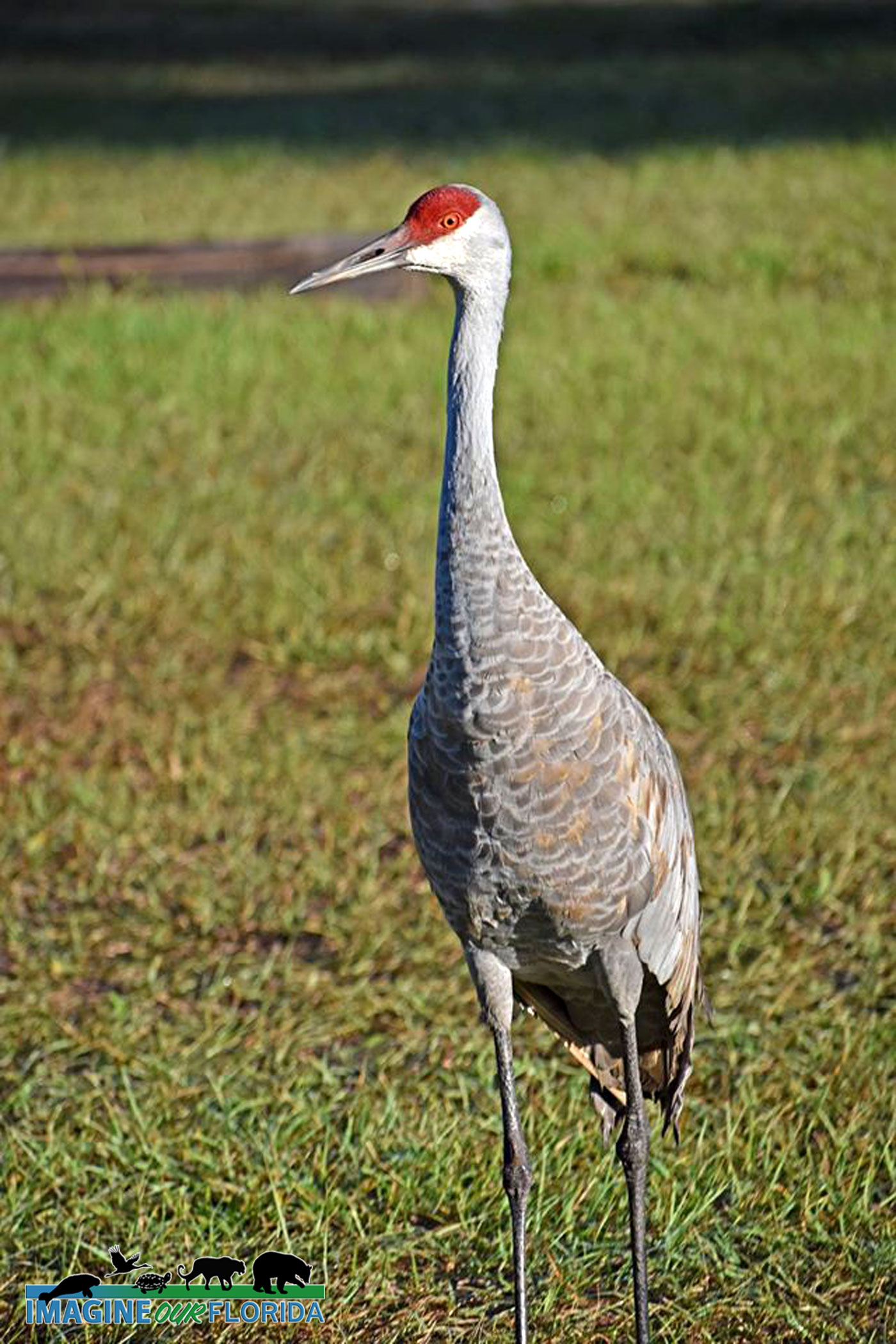
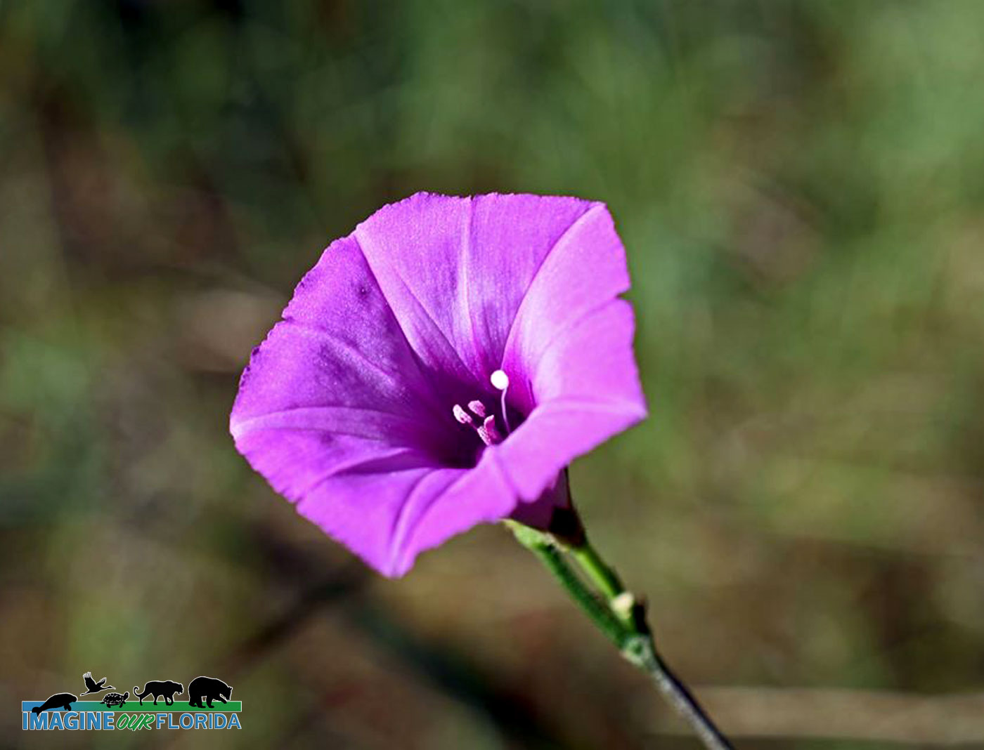
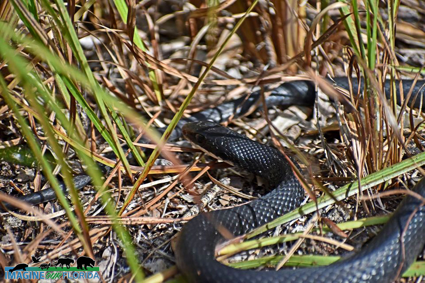
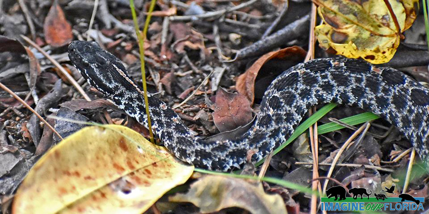
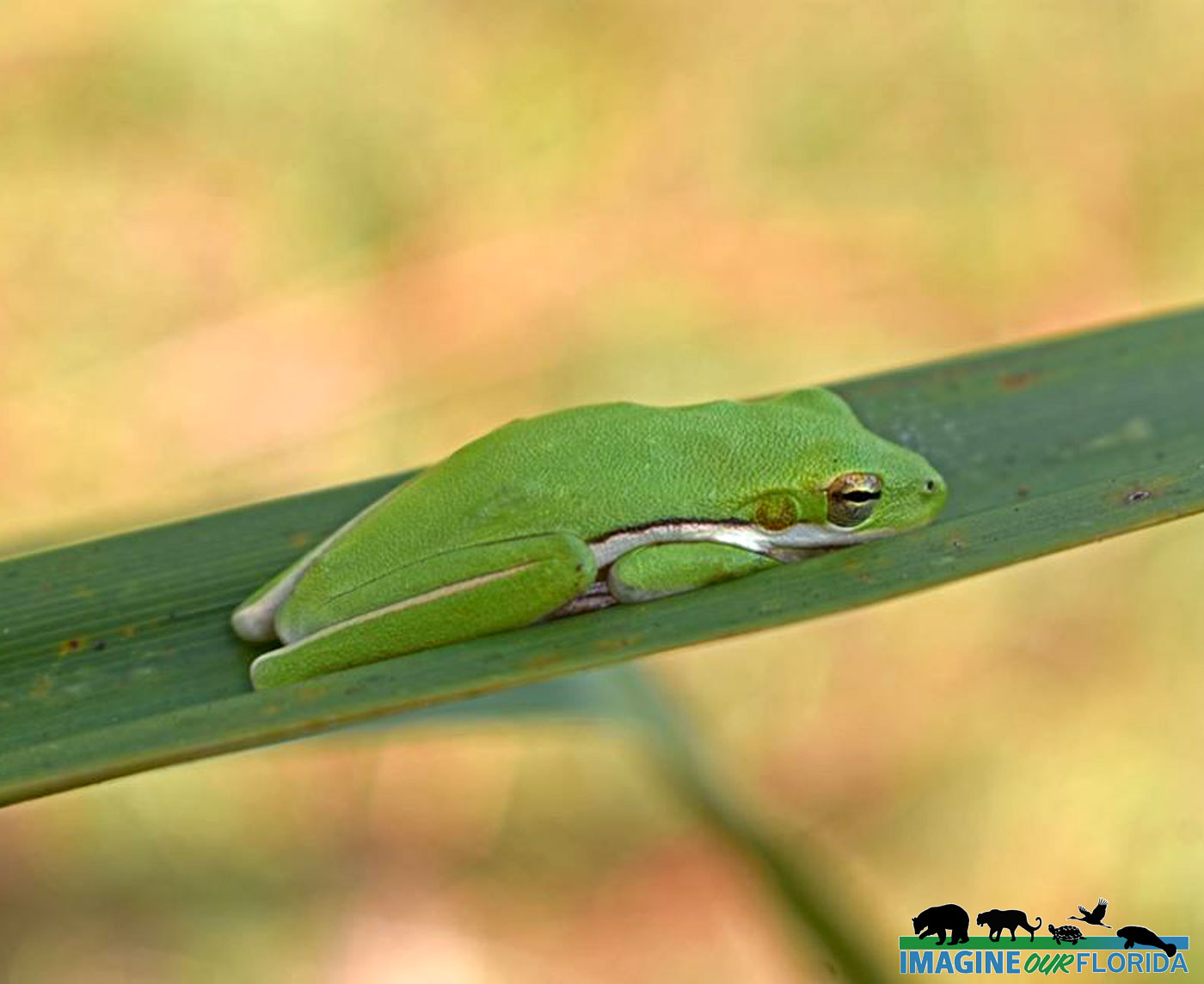
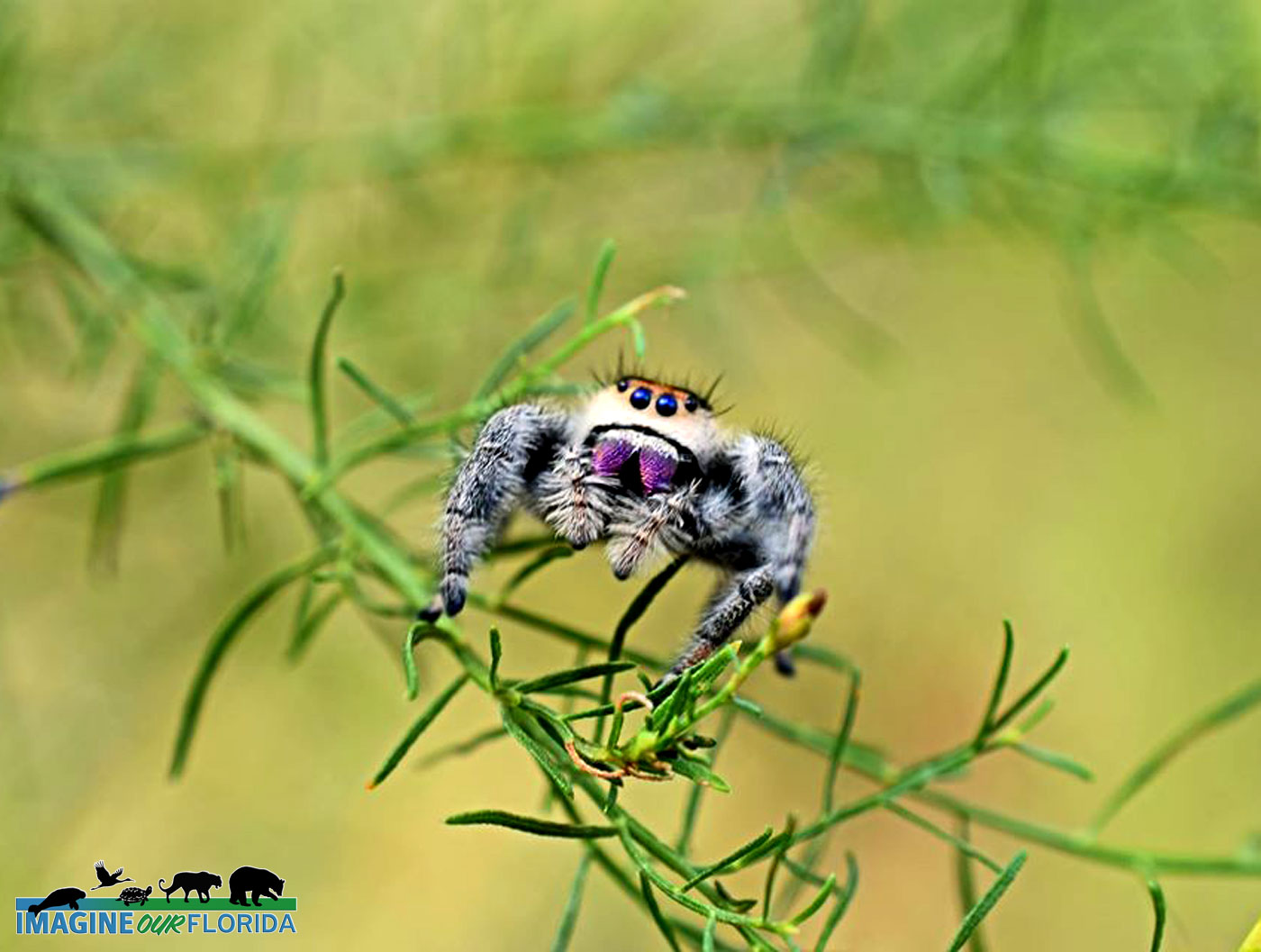
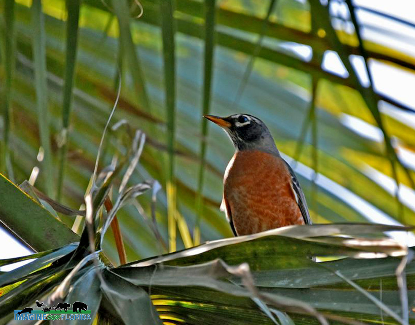
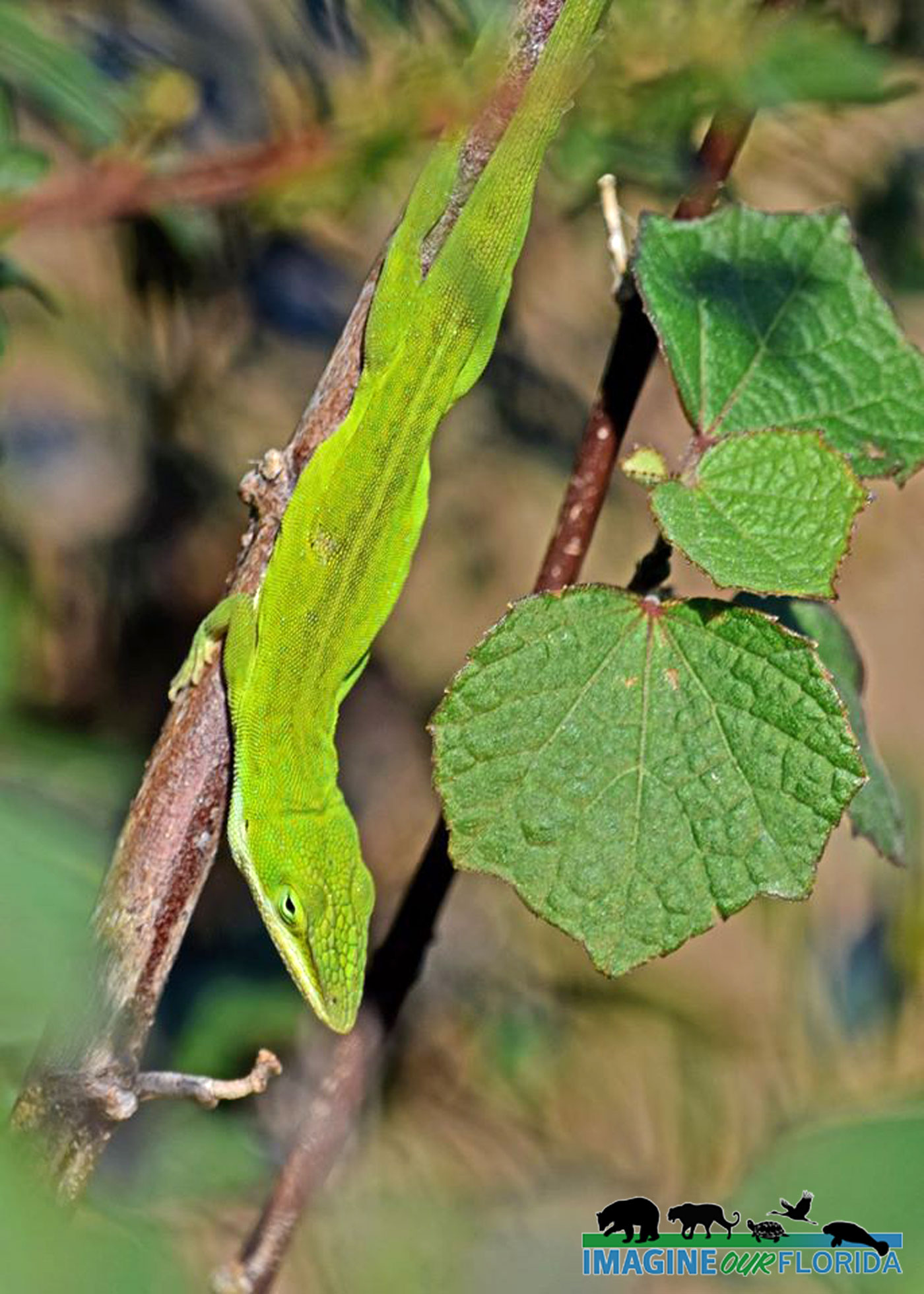
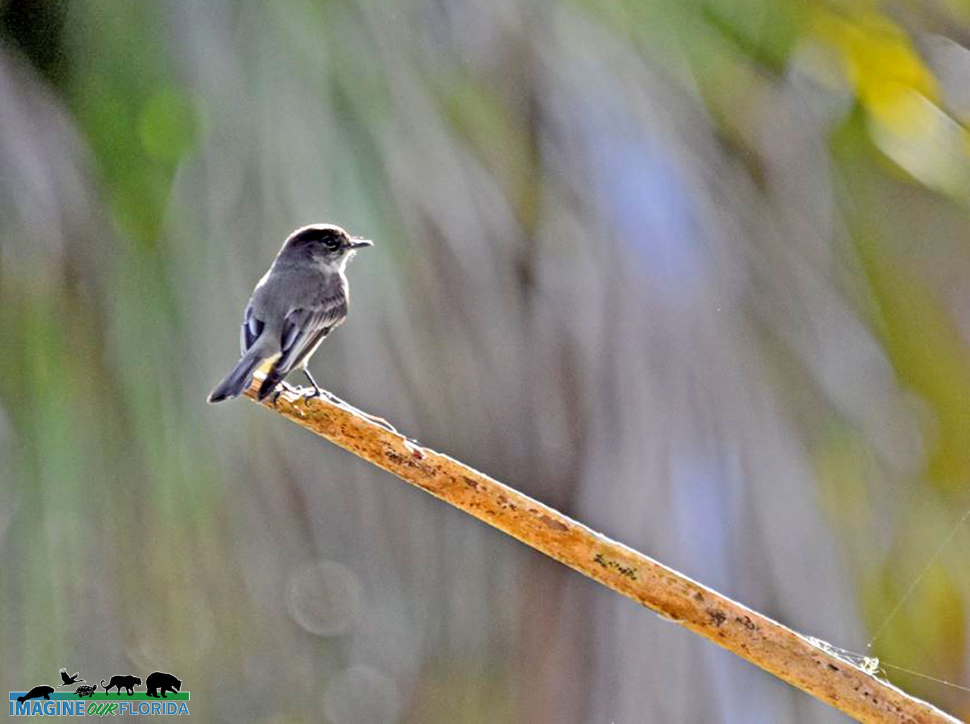
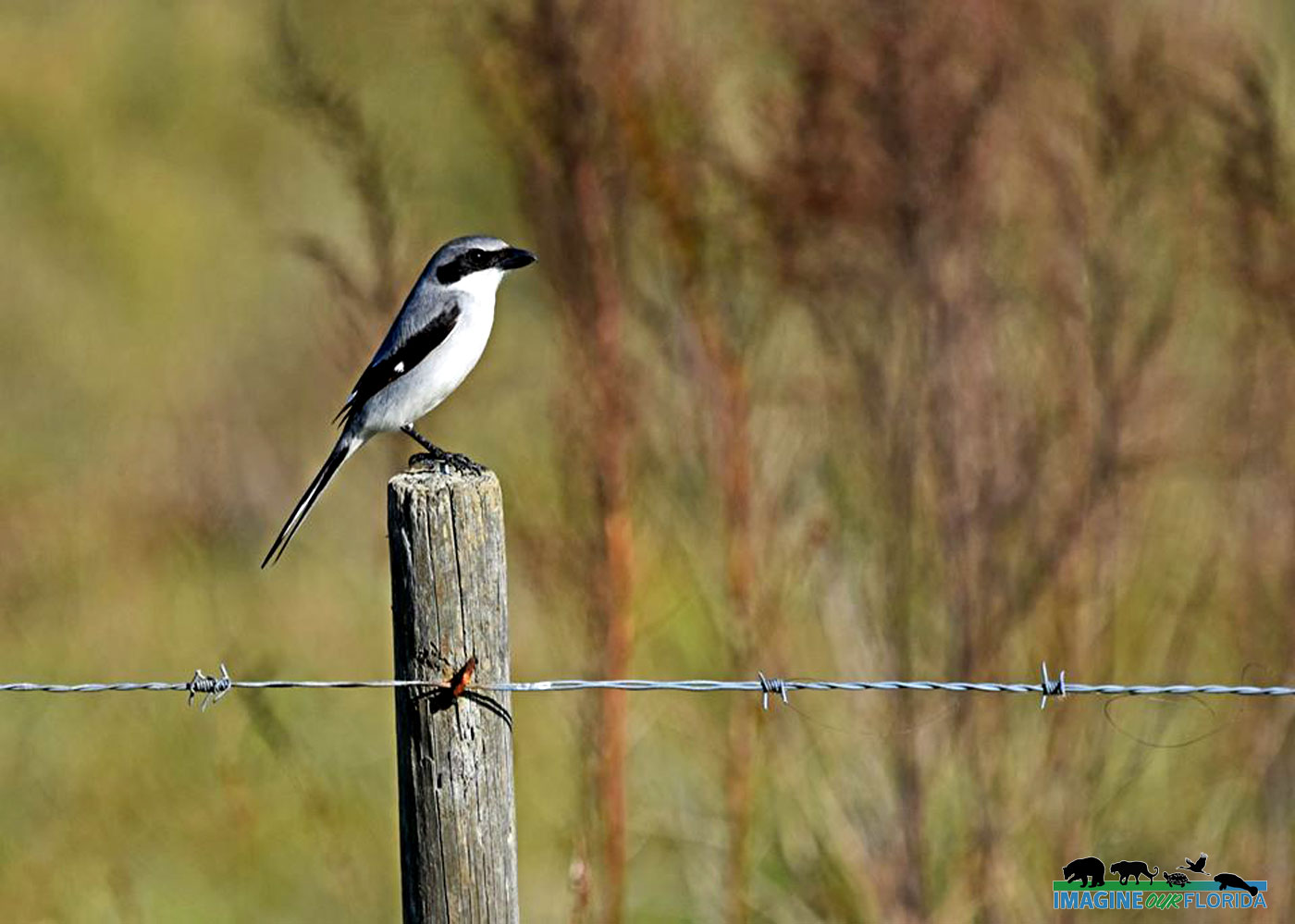
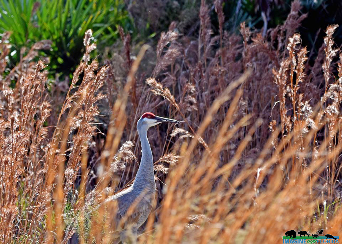
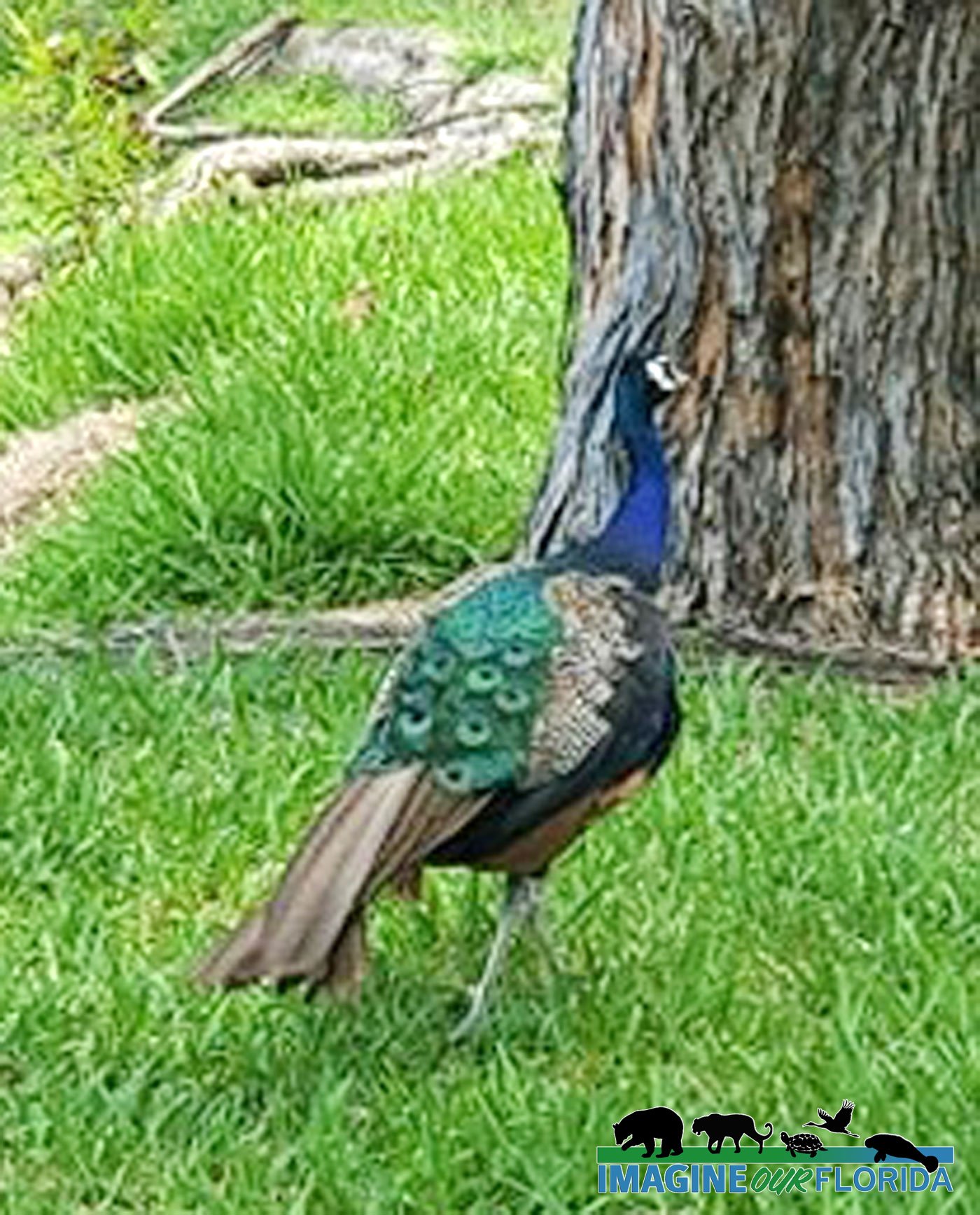
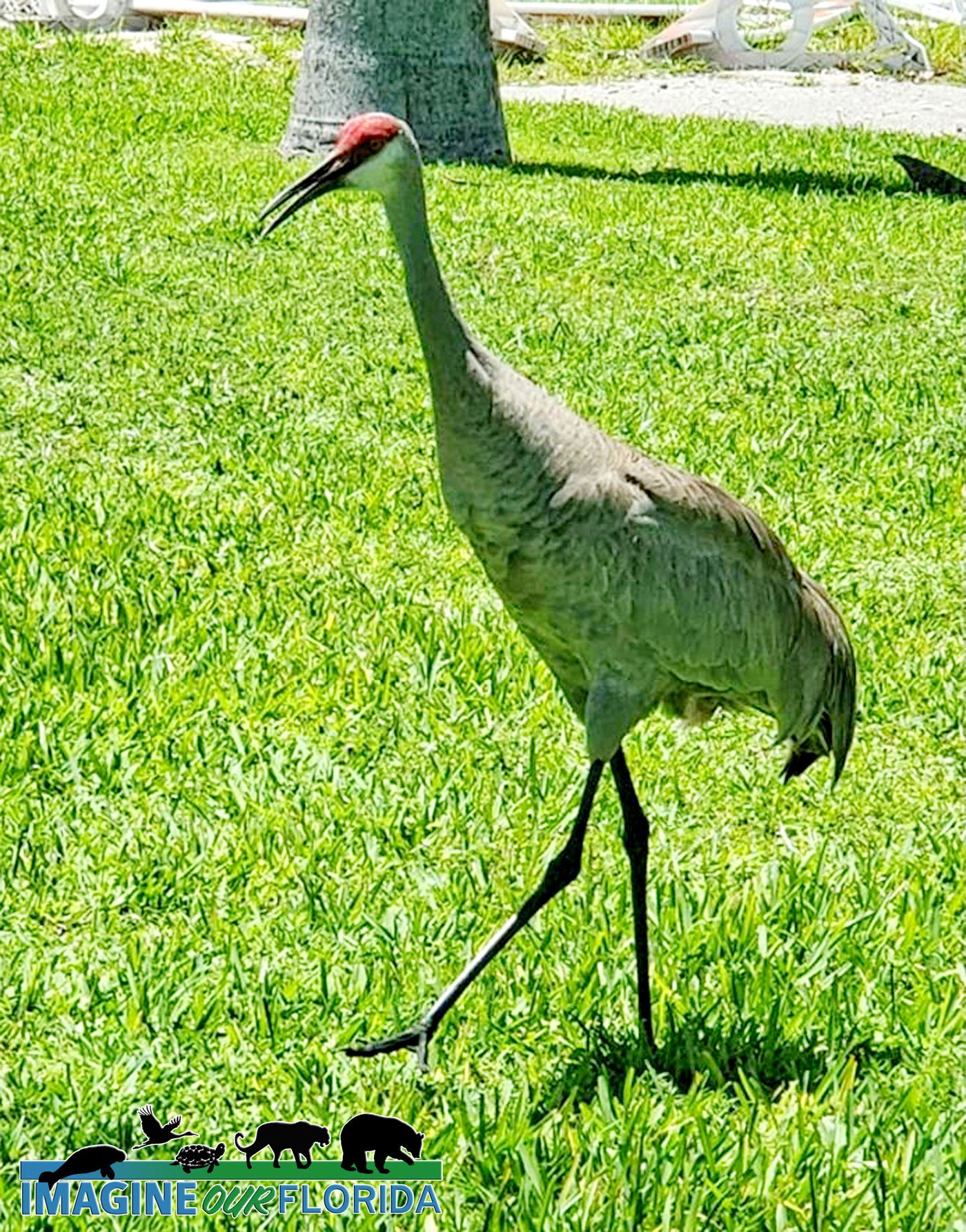
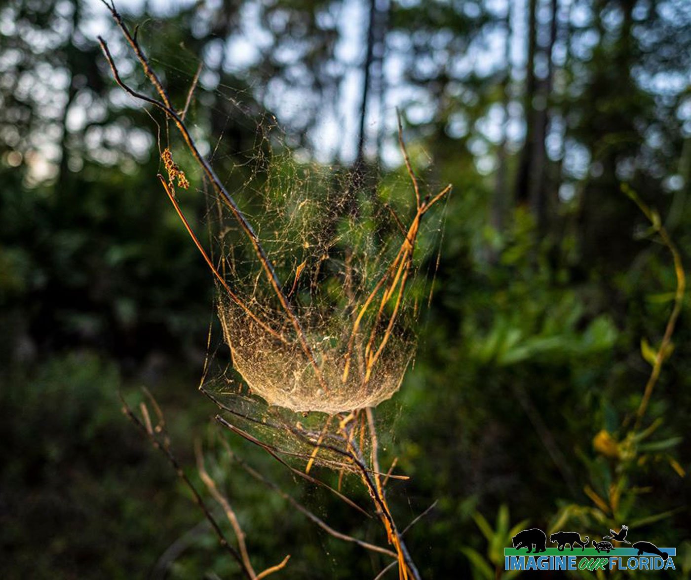
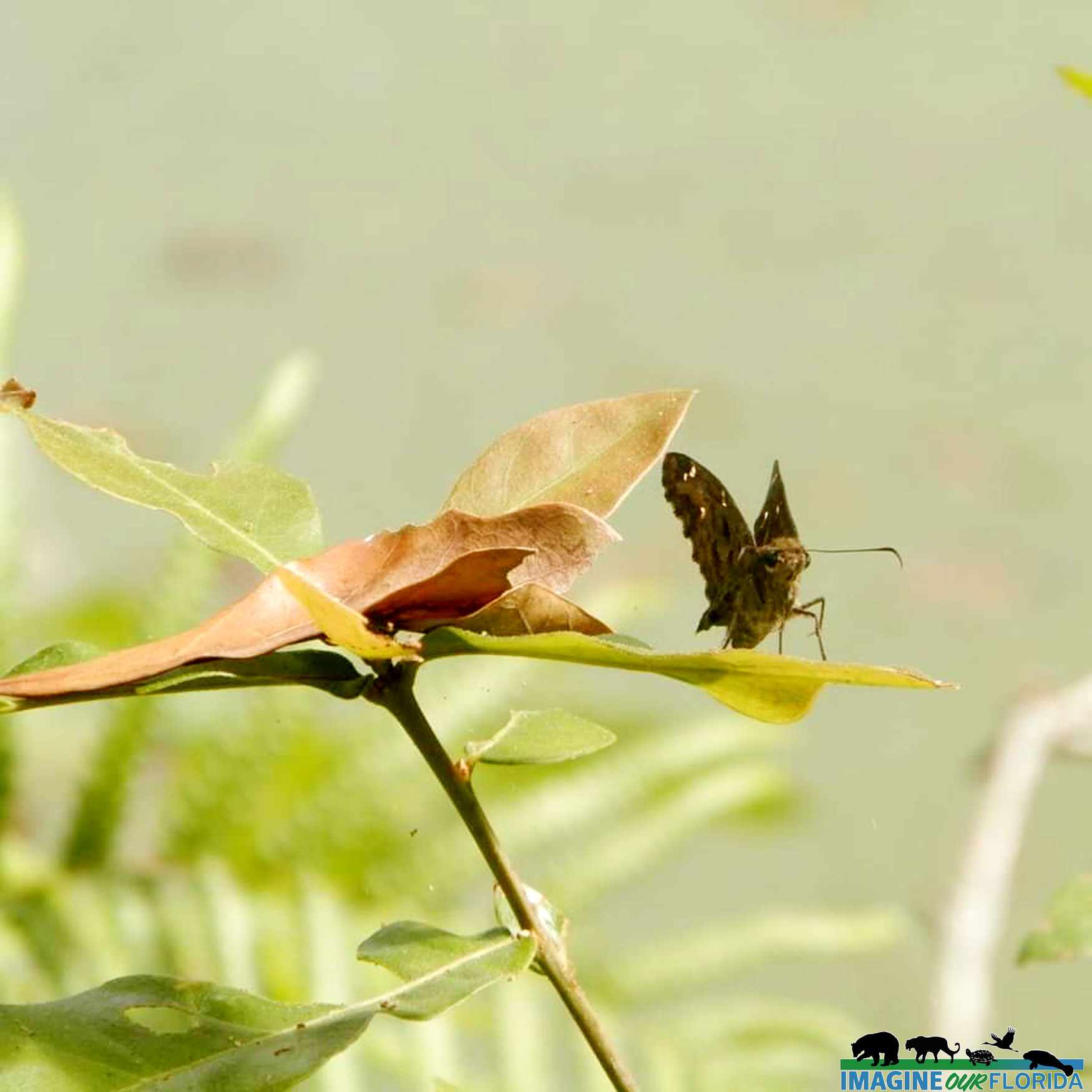
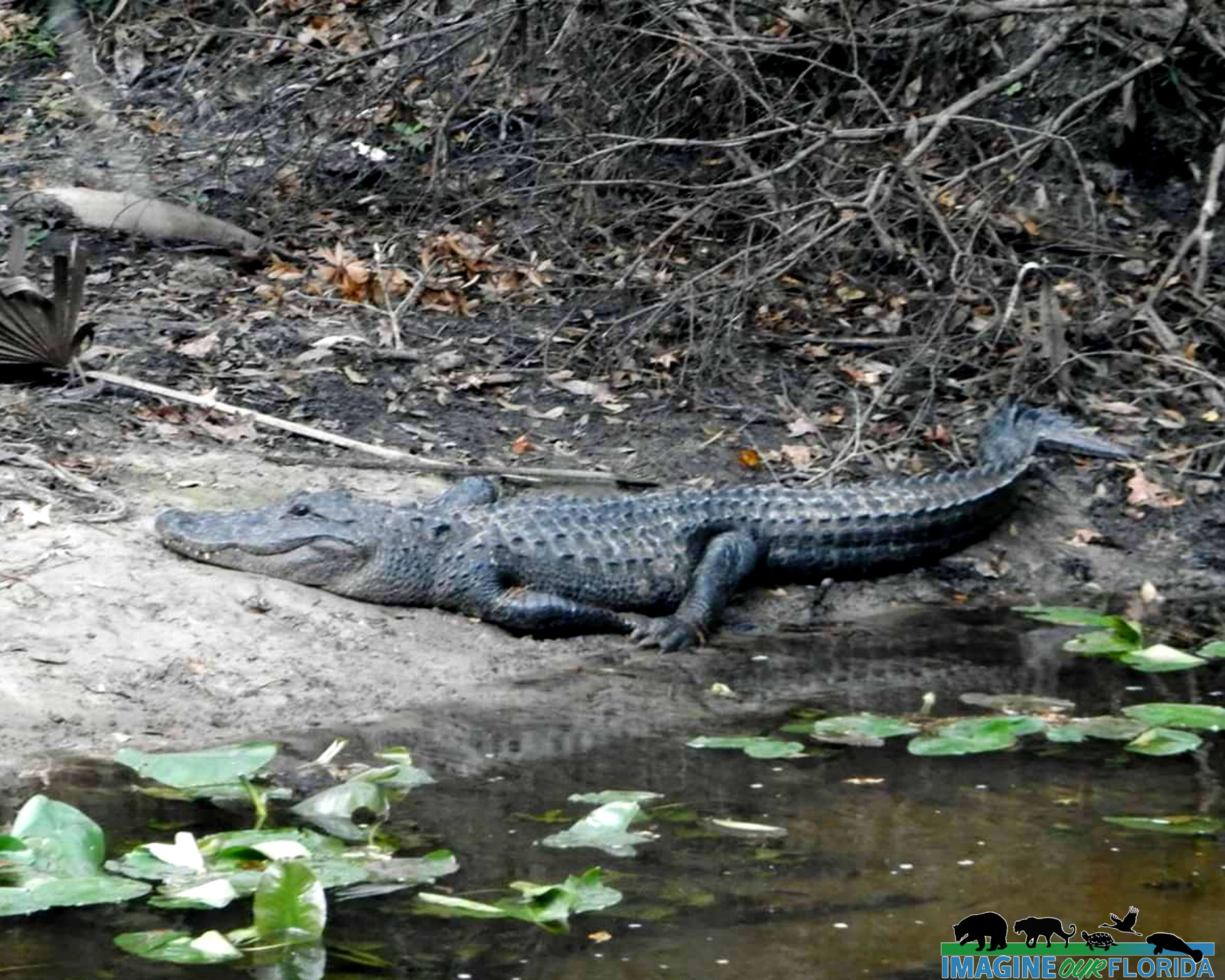
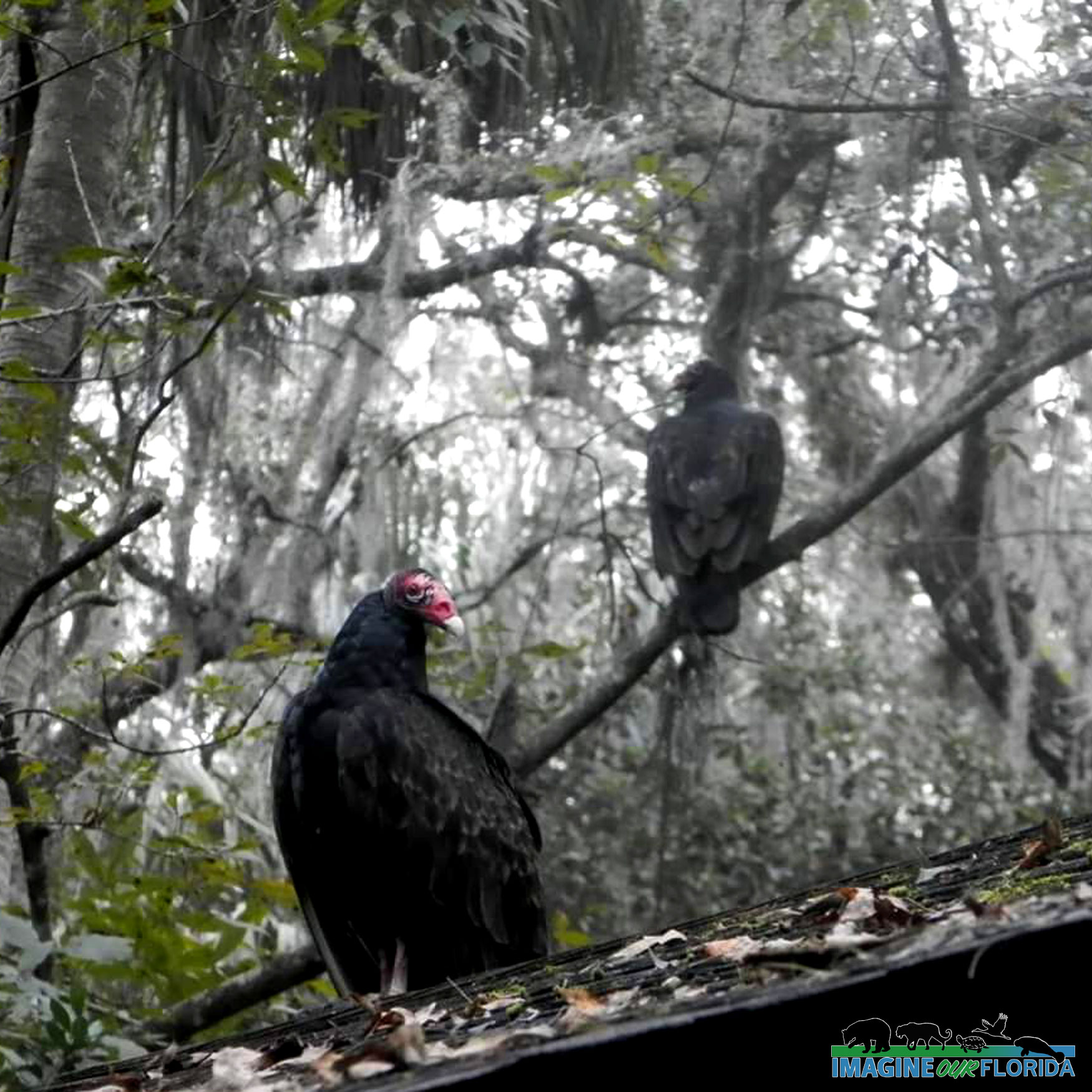
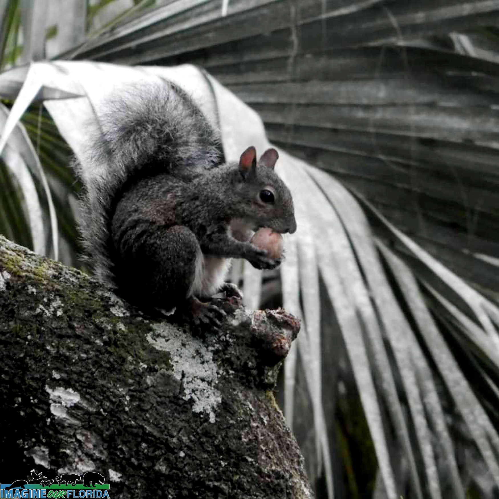
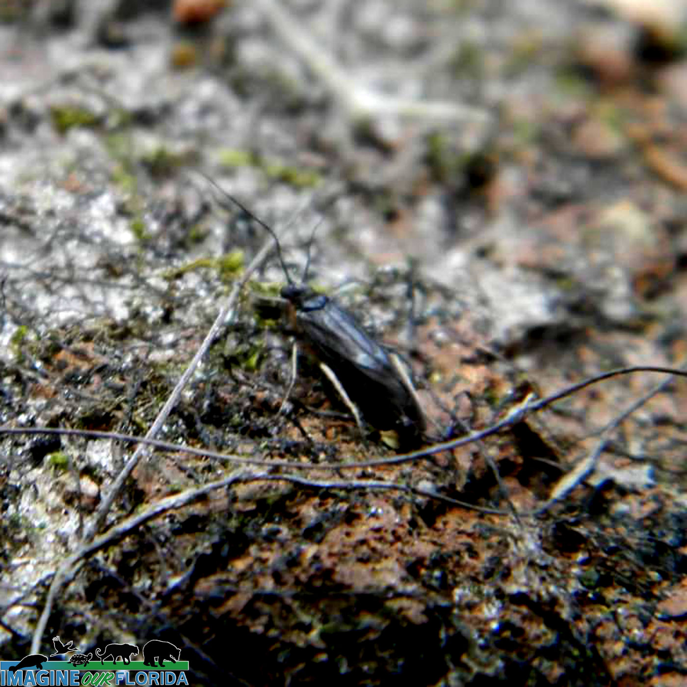
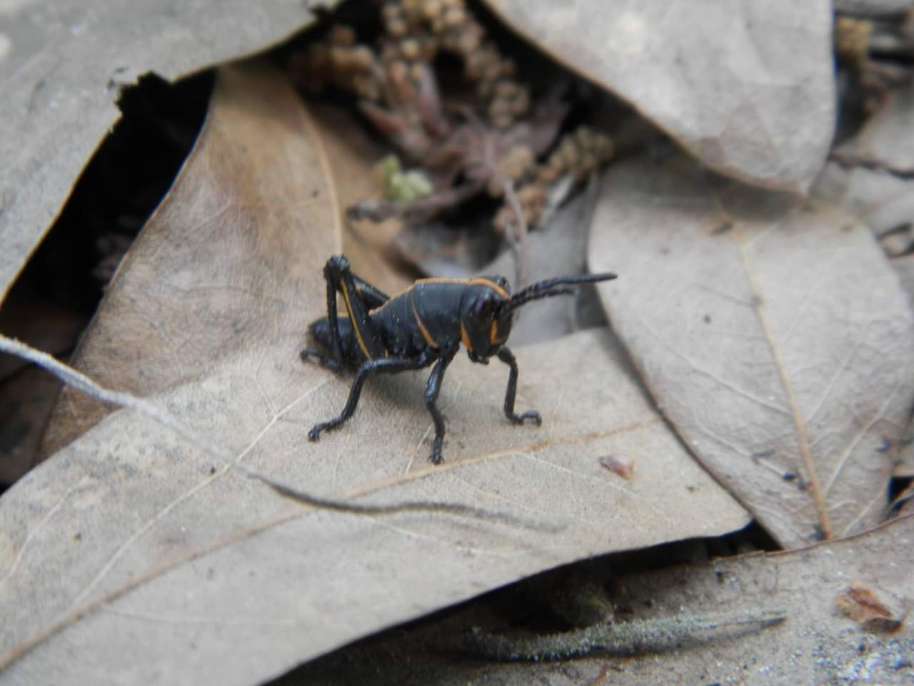
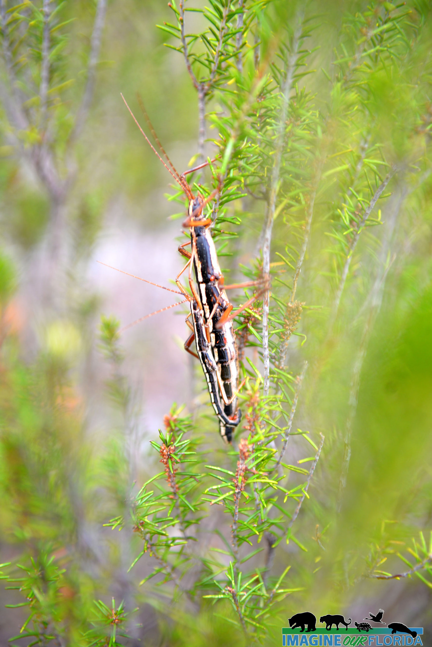
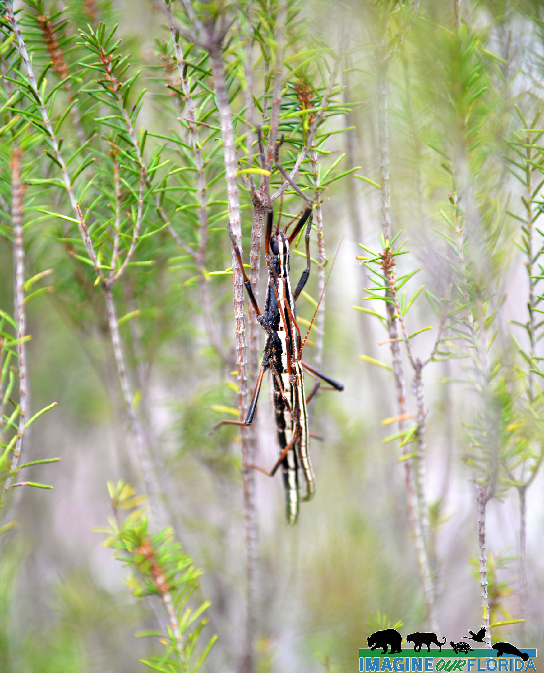
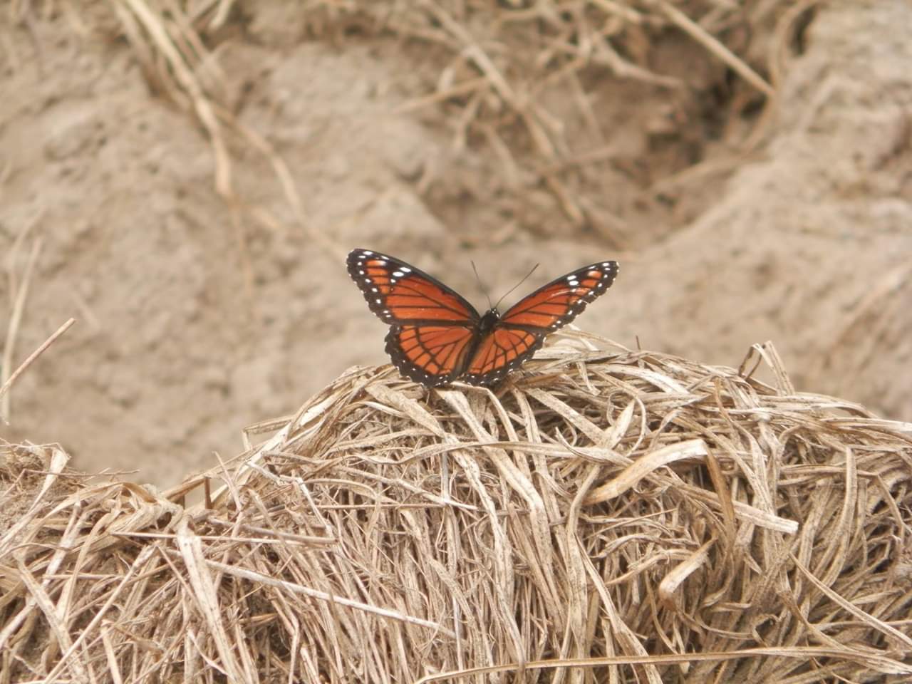
Over 160 bird species have been spotted in the forest including Bachman’s sparrows, crested caracara, wood storks, swallow-tailed kites, and sandhill cranes. Look for fox squirrels, gopher frogs, gopher tortoises, turkeys, deer, and alligators.
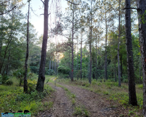
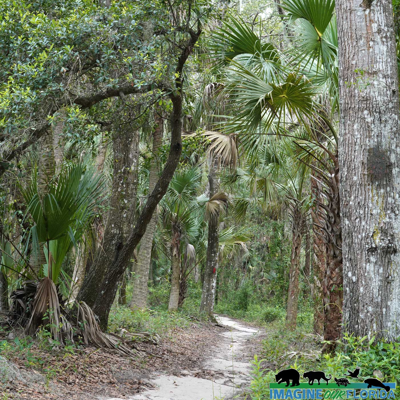
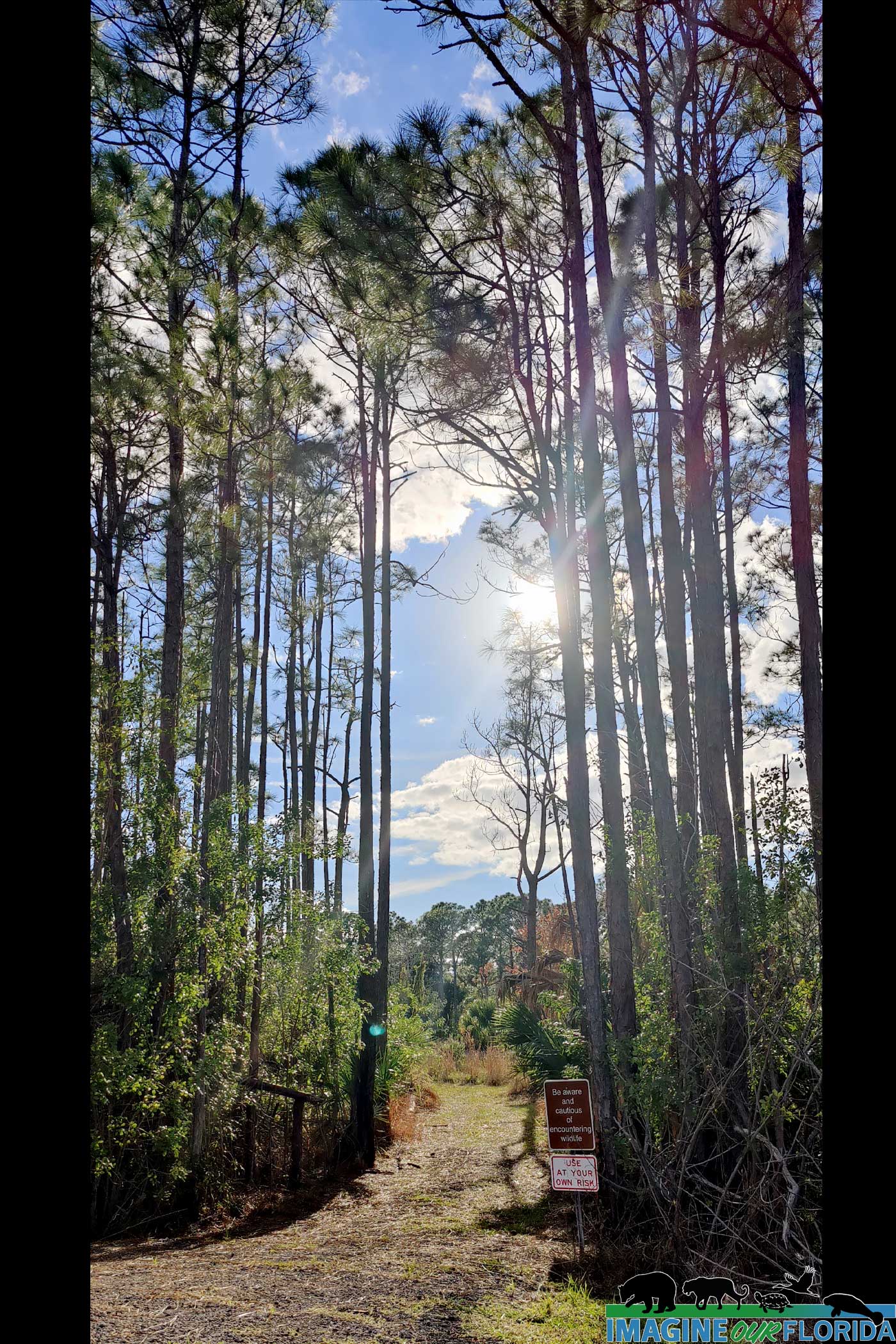
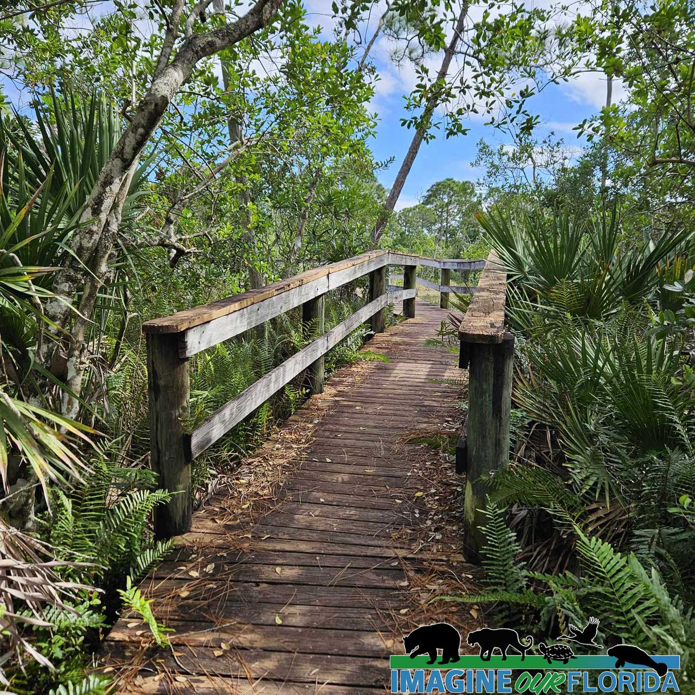
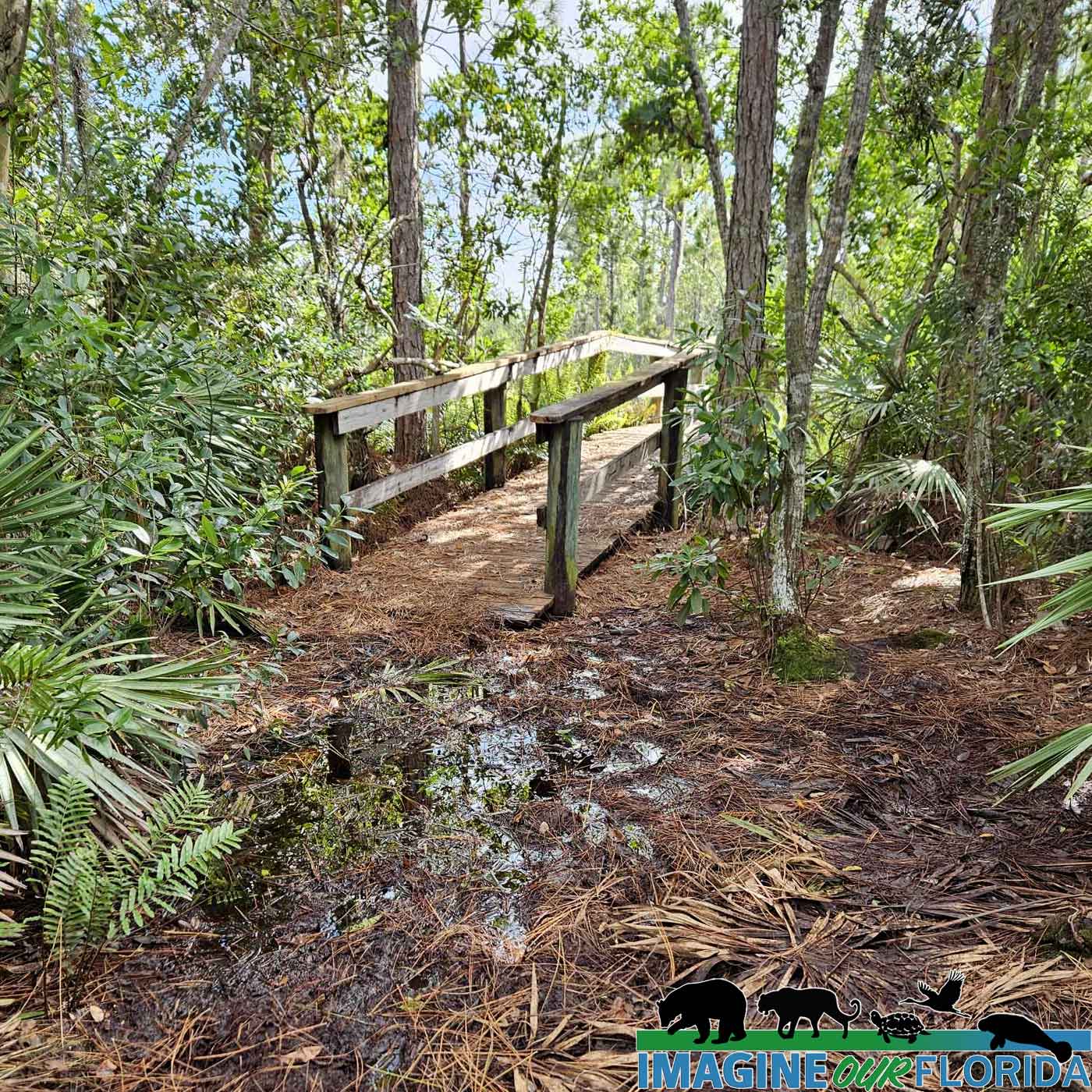
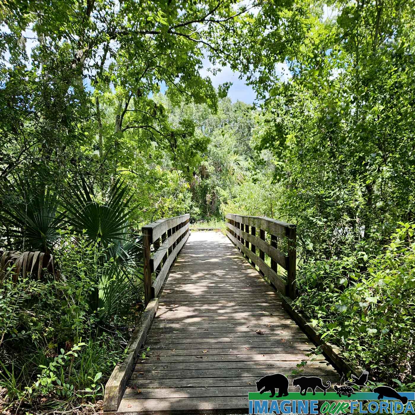
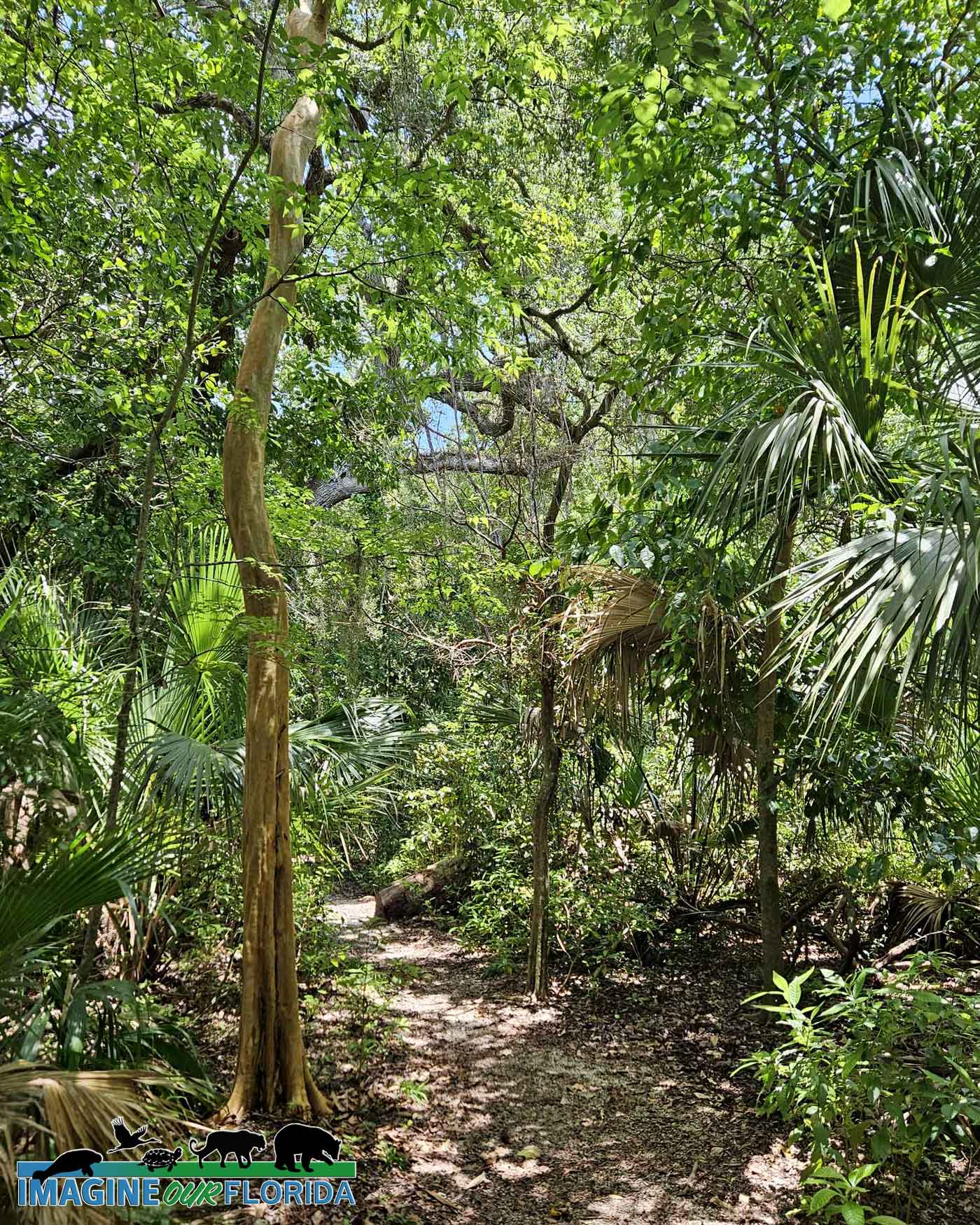
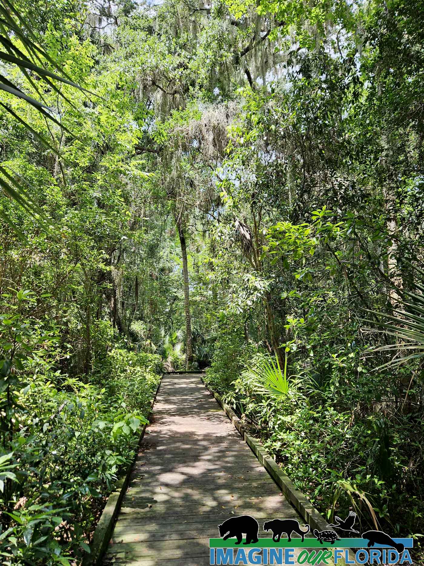
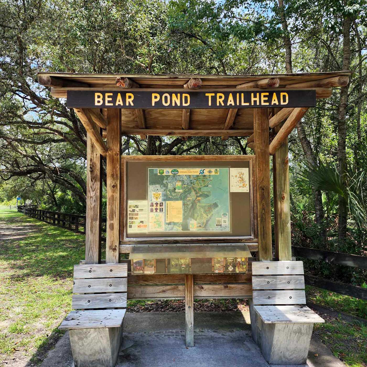
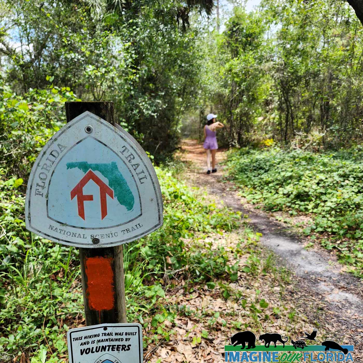
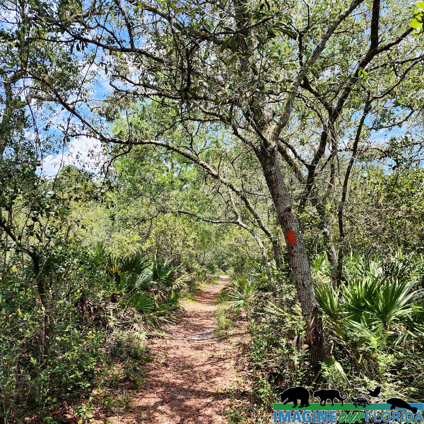
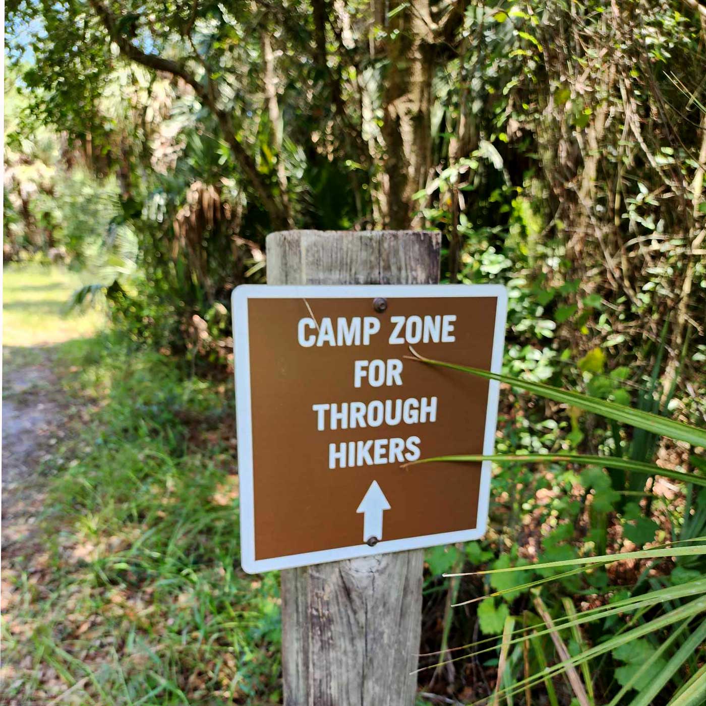
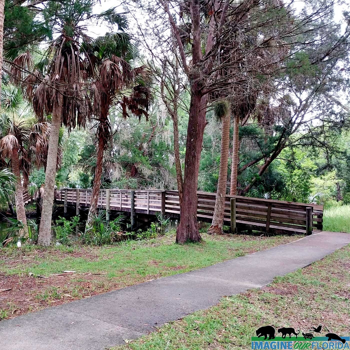
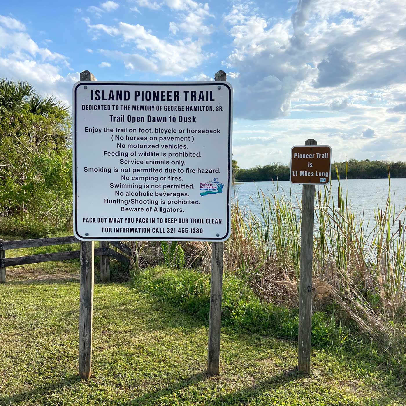
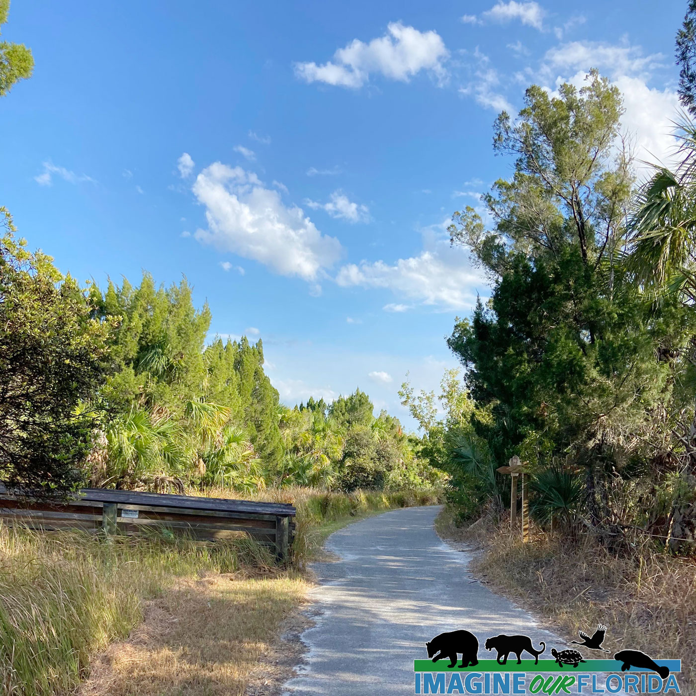
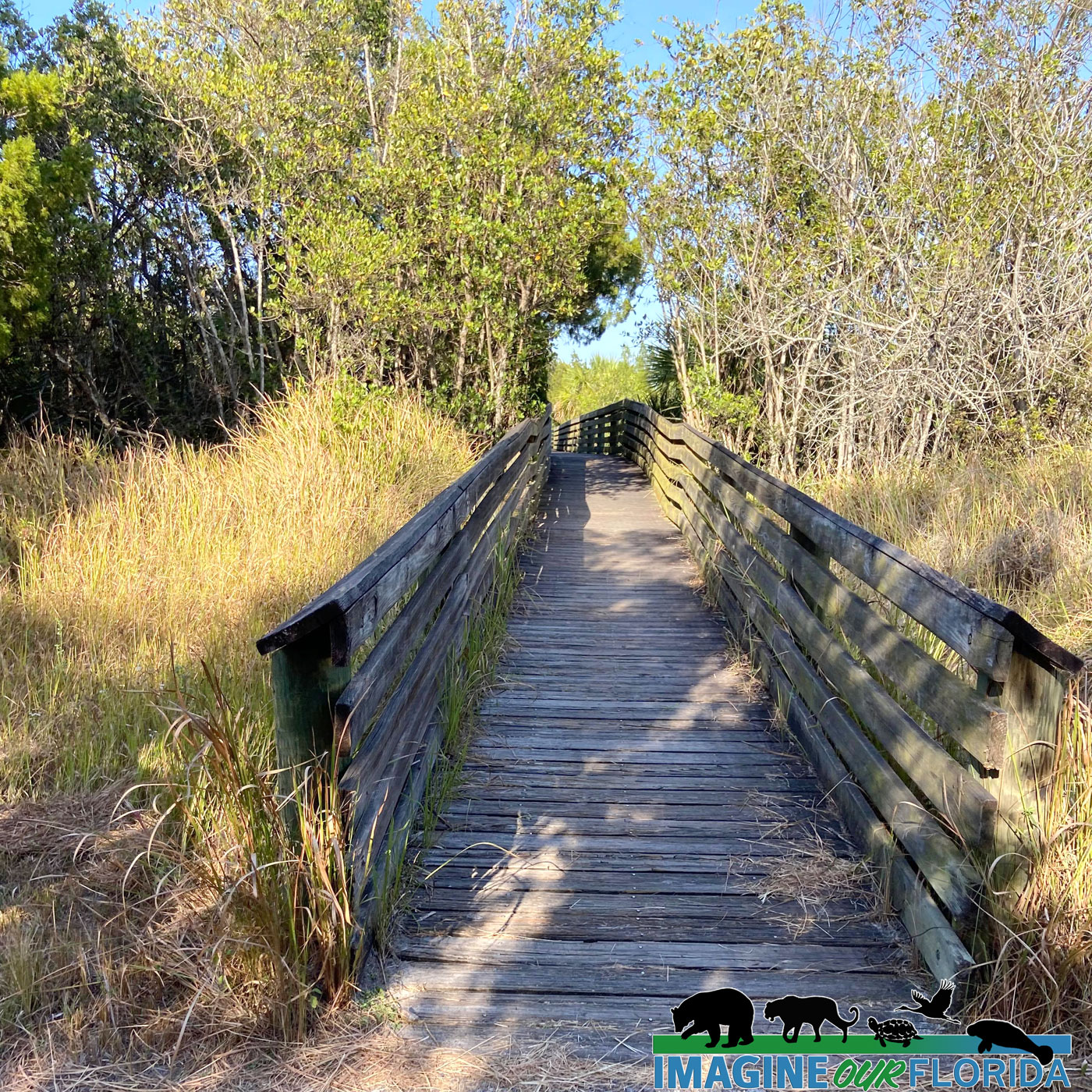
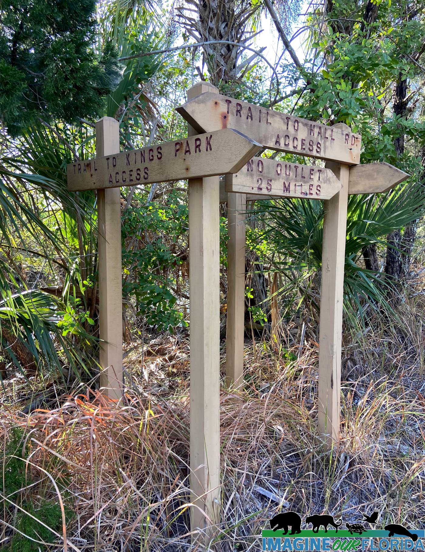
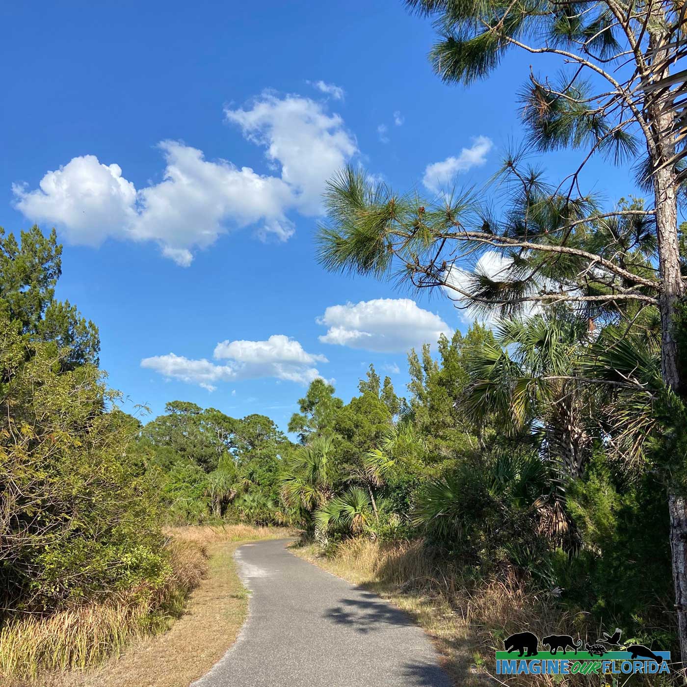
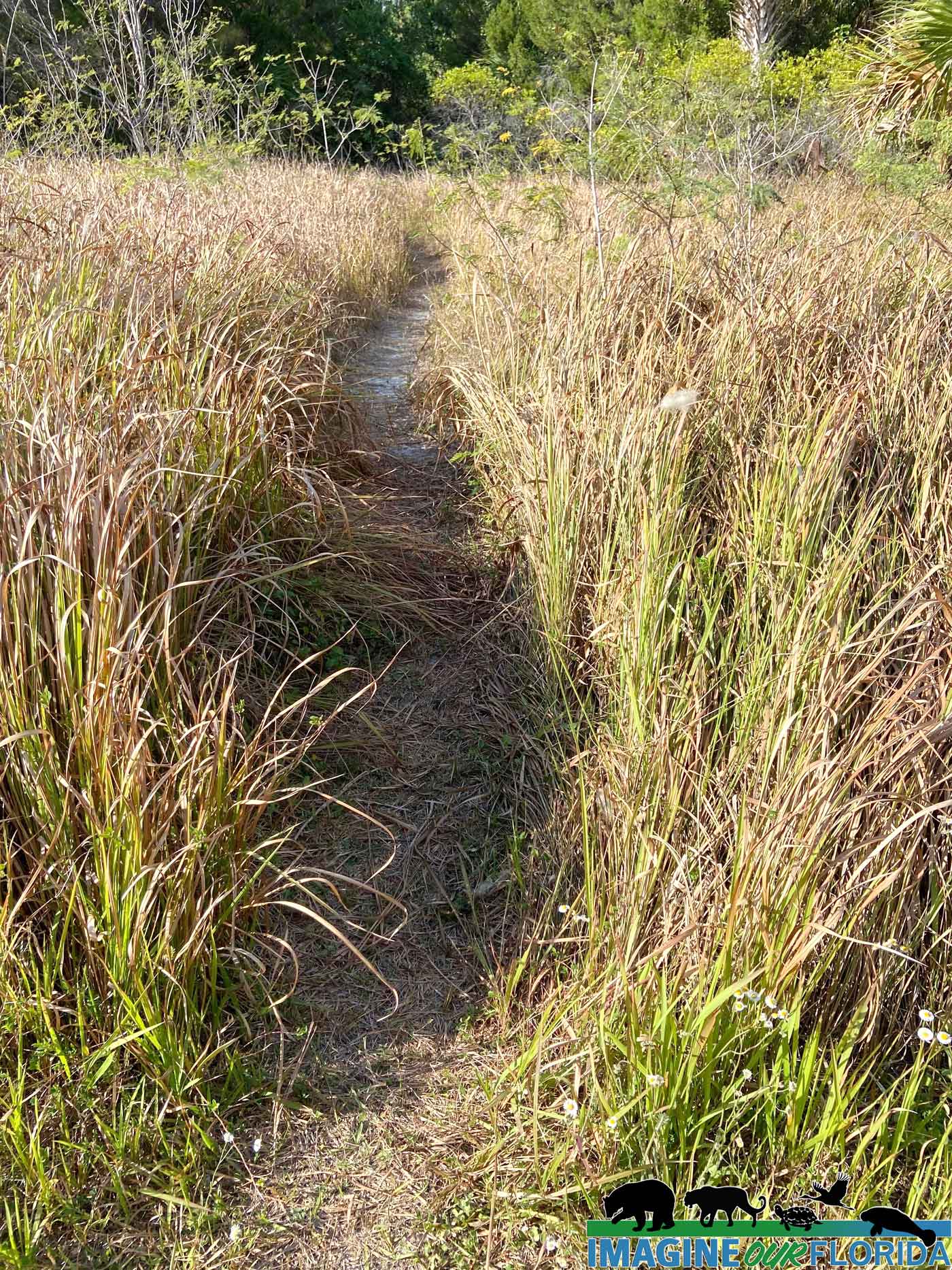
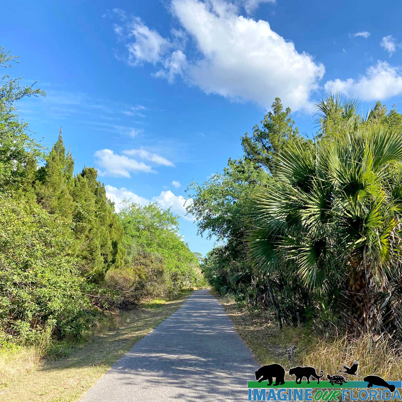
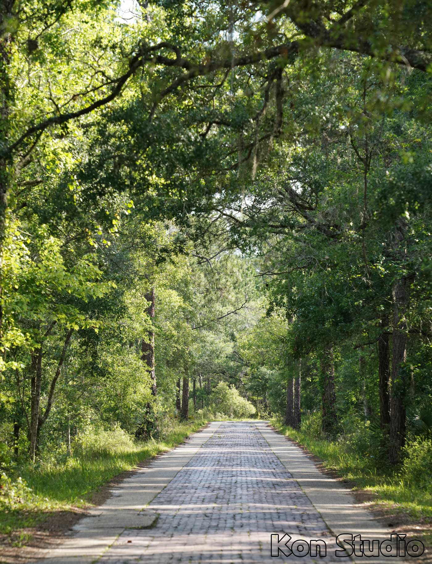
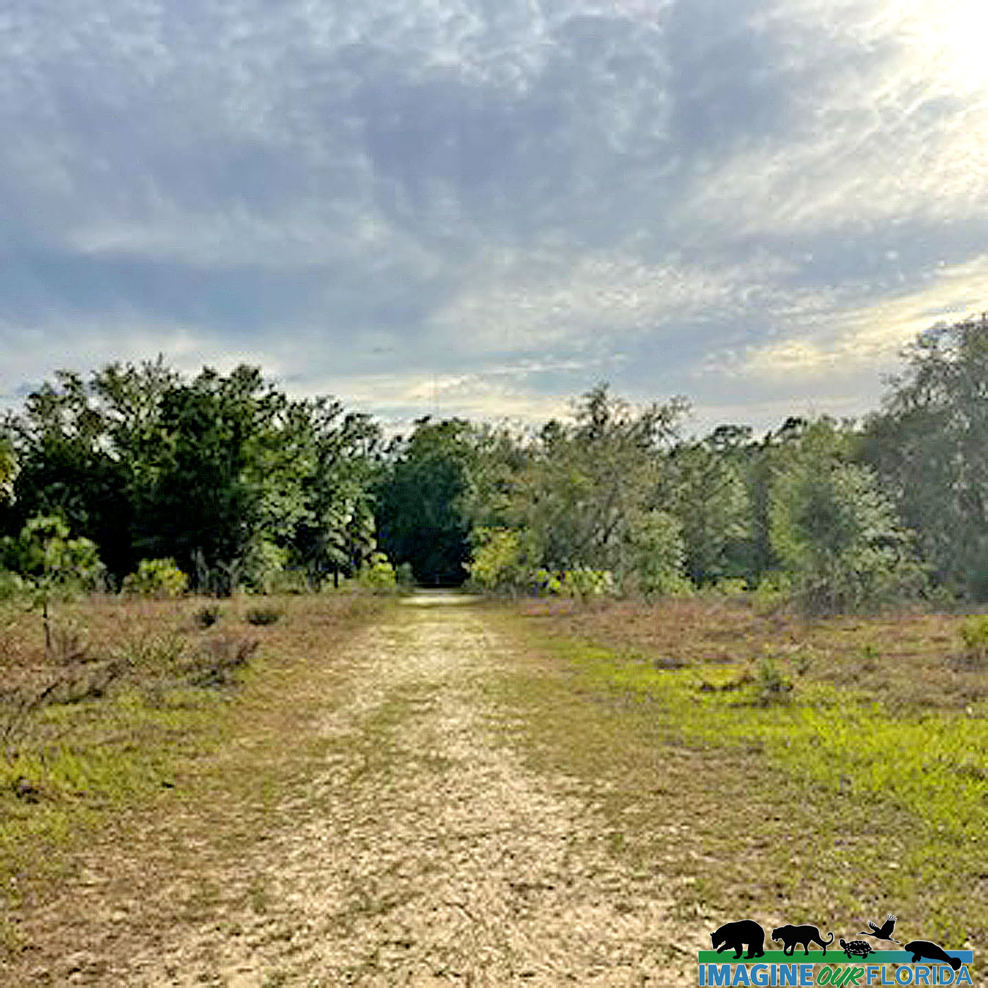
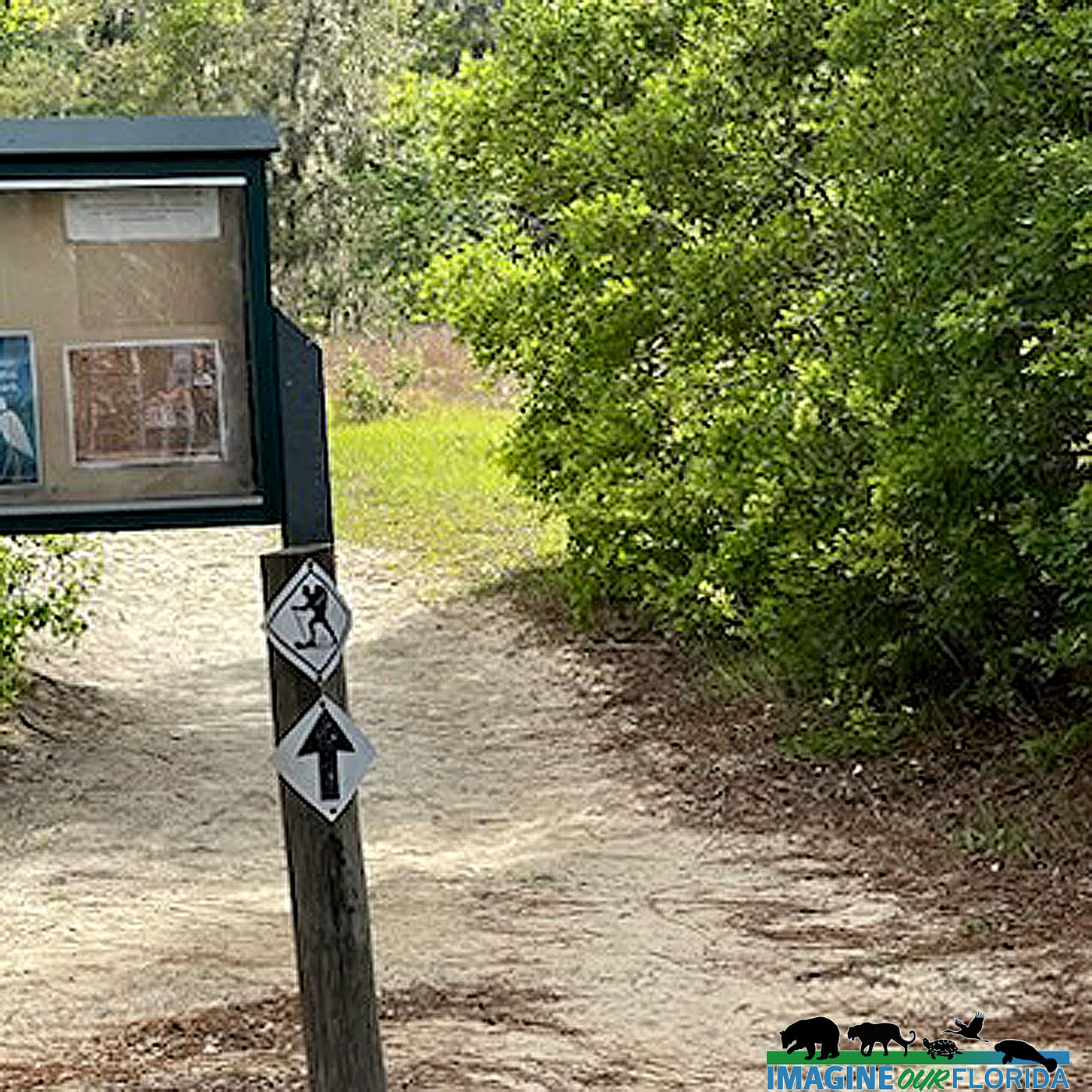
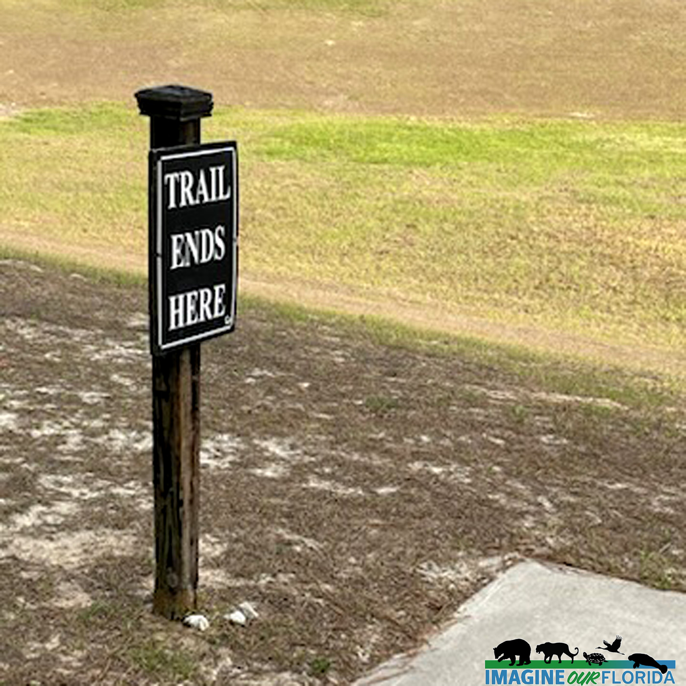
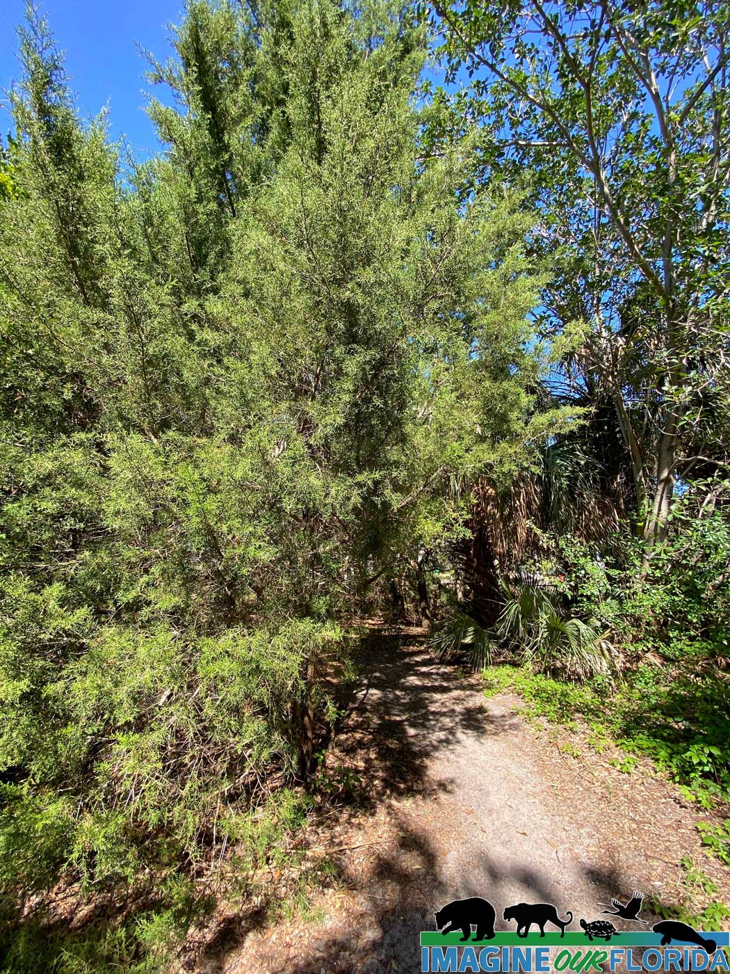
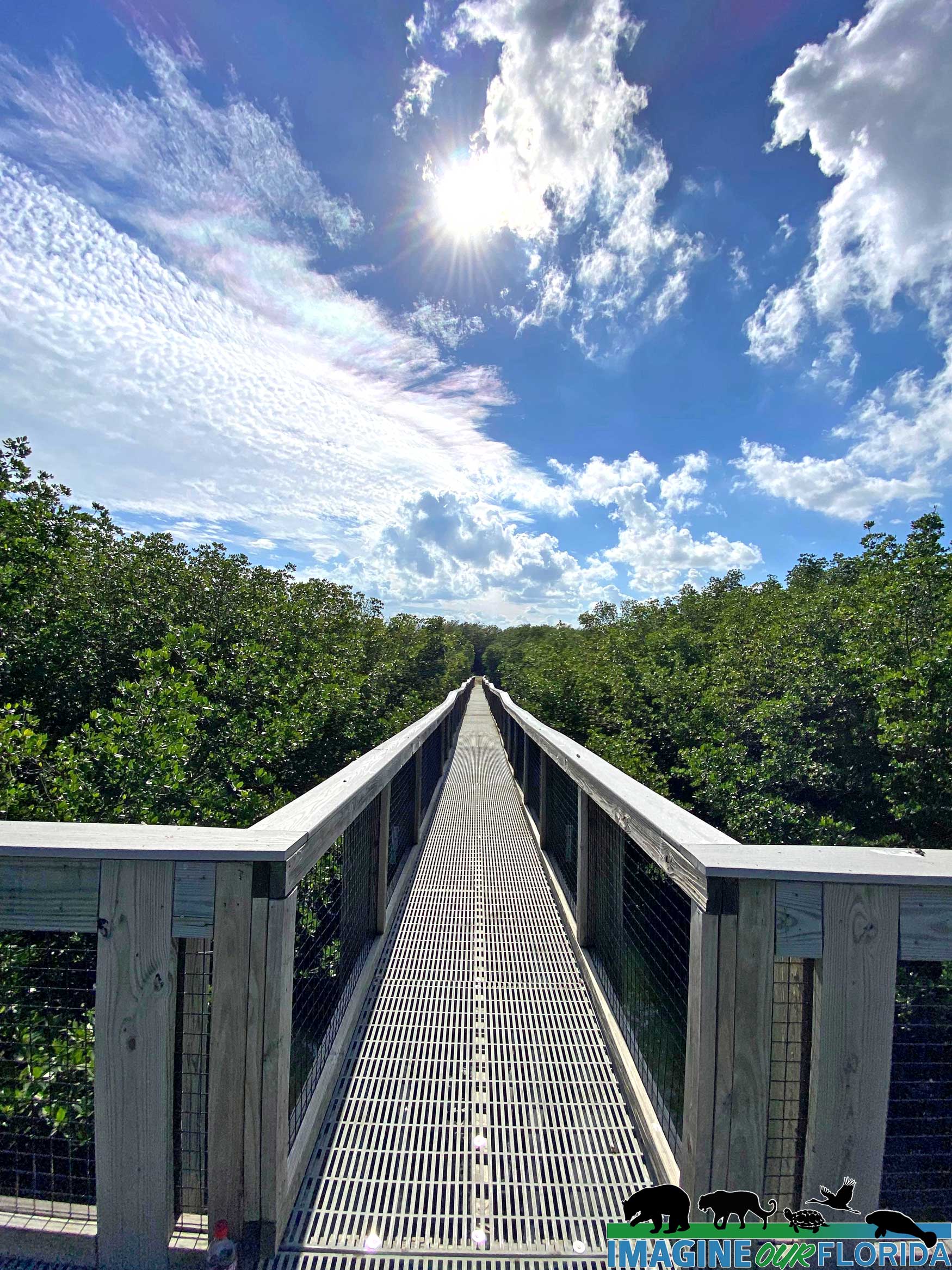
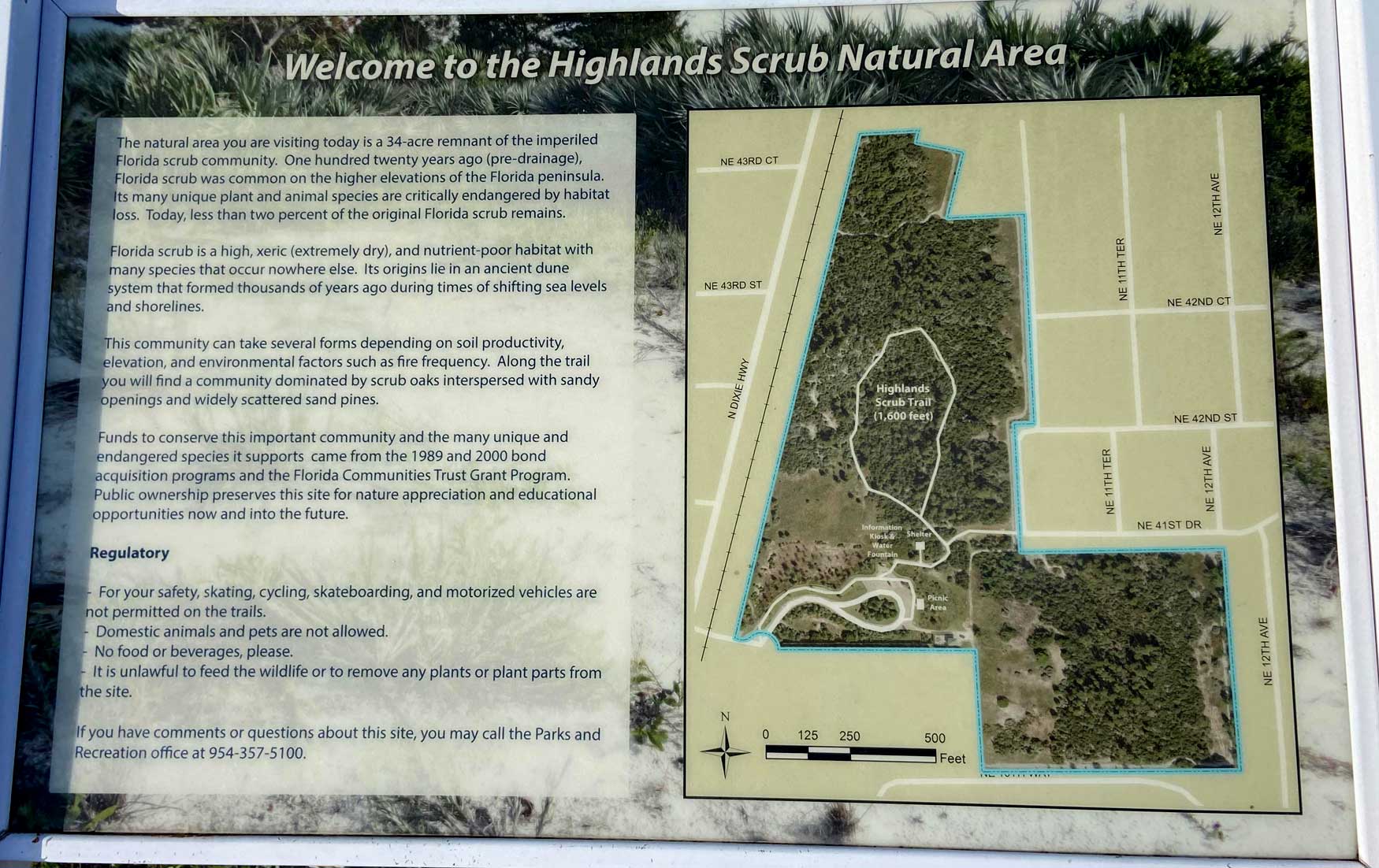
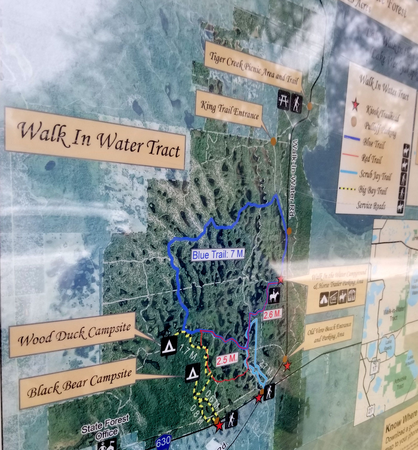
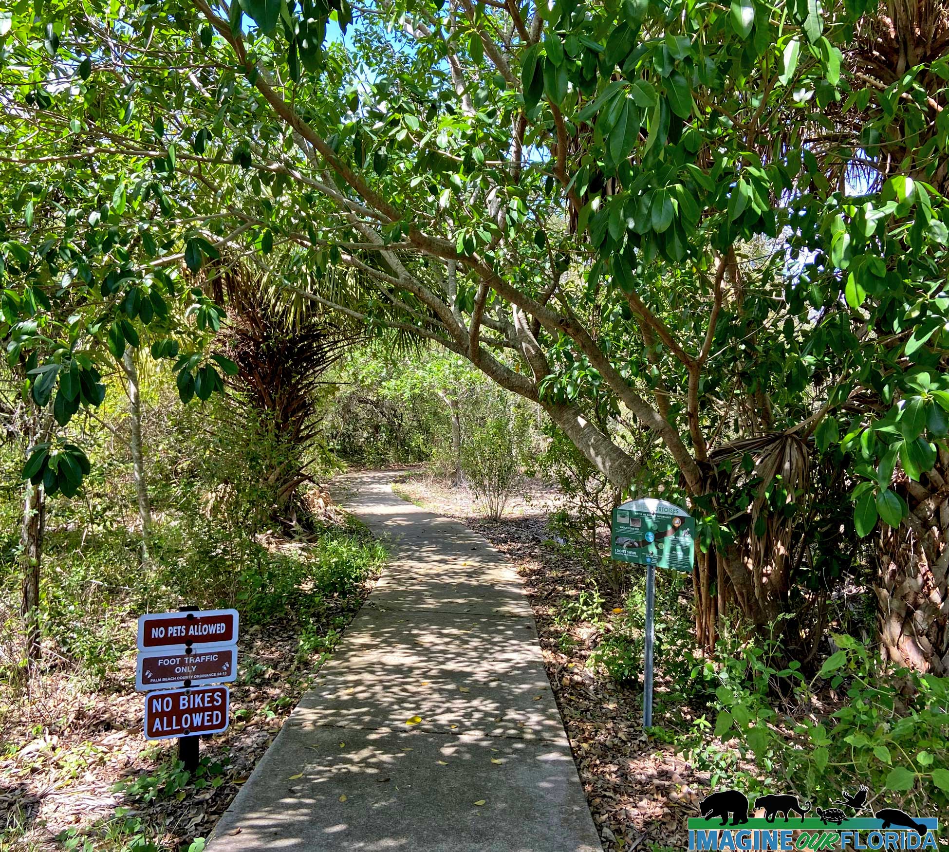
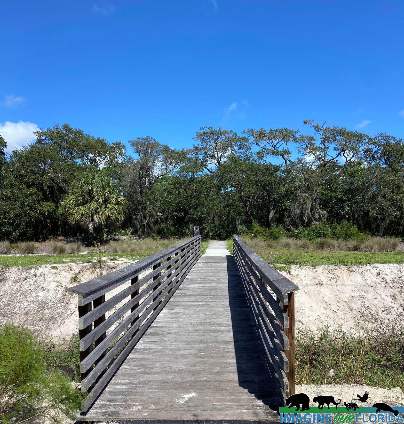
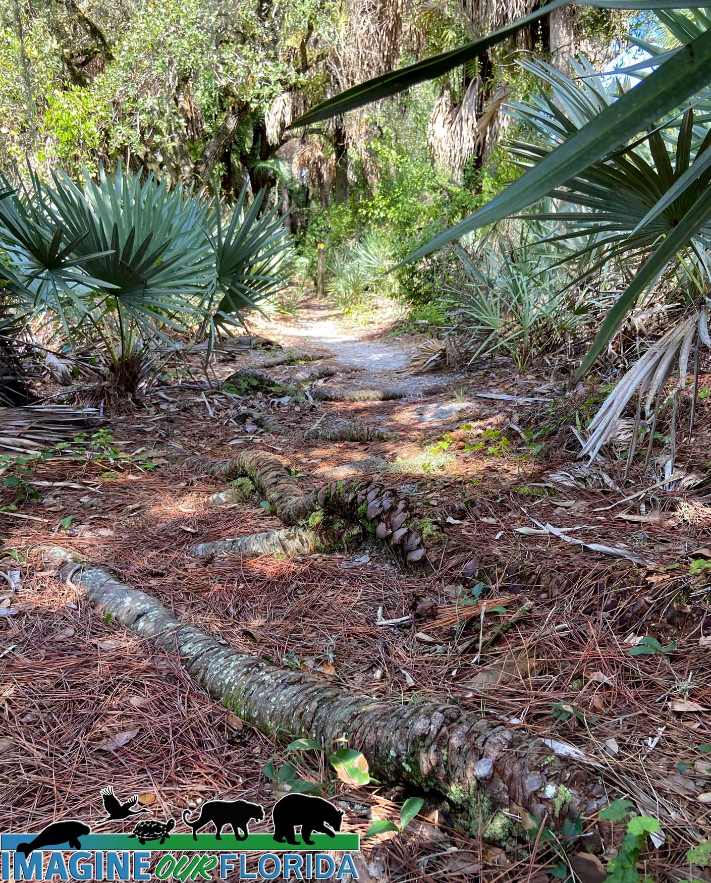
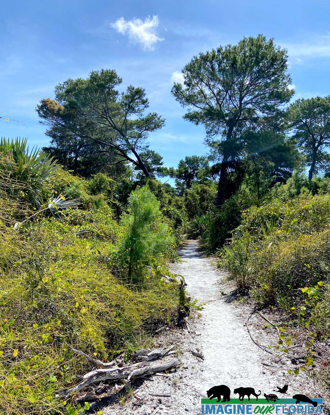
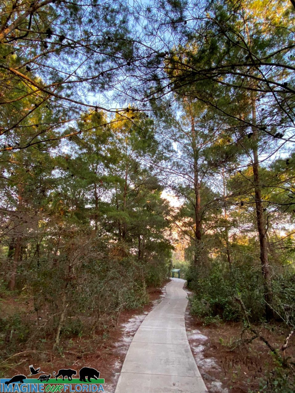
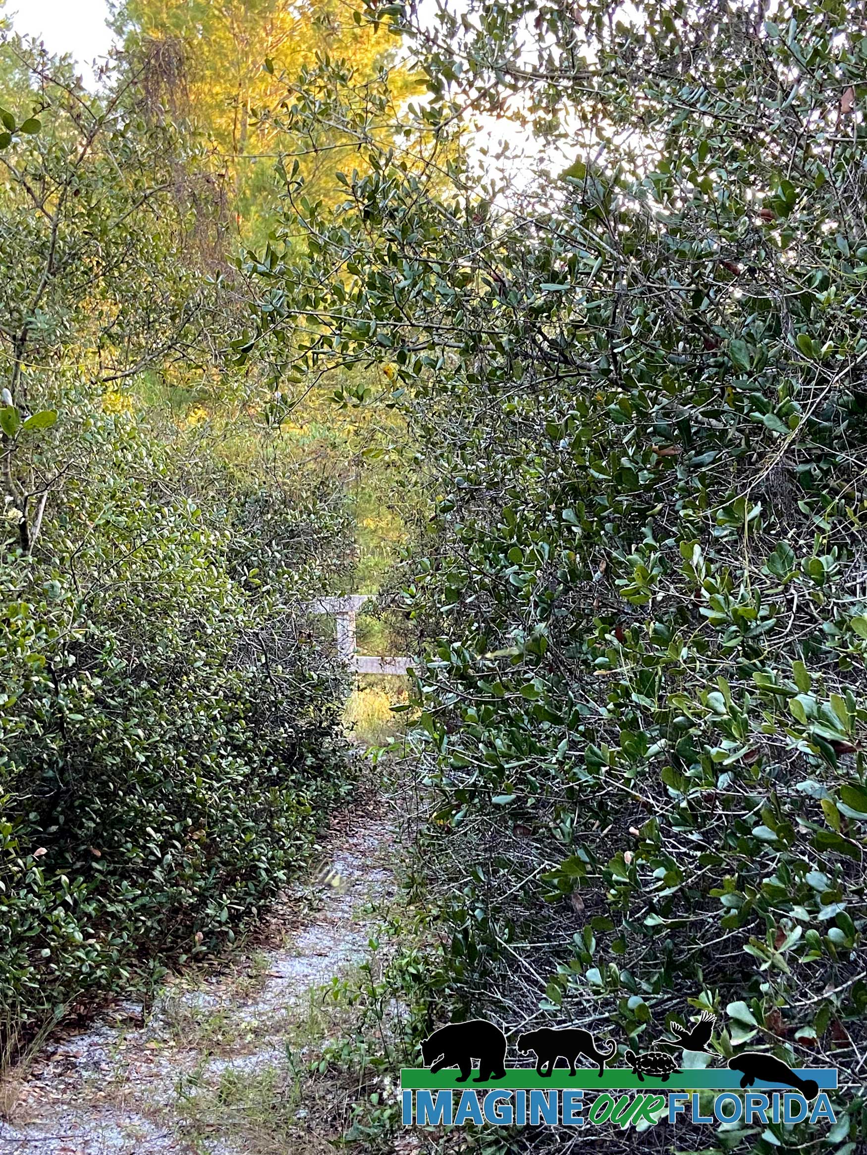
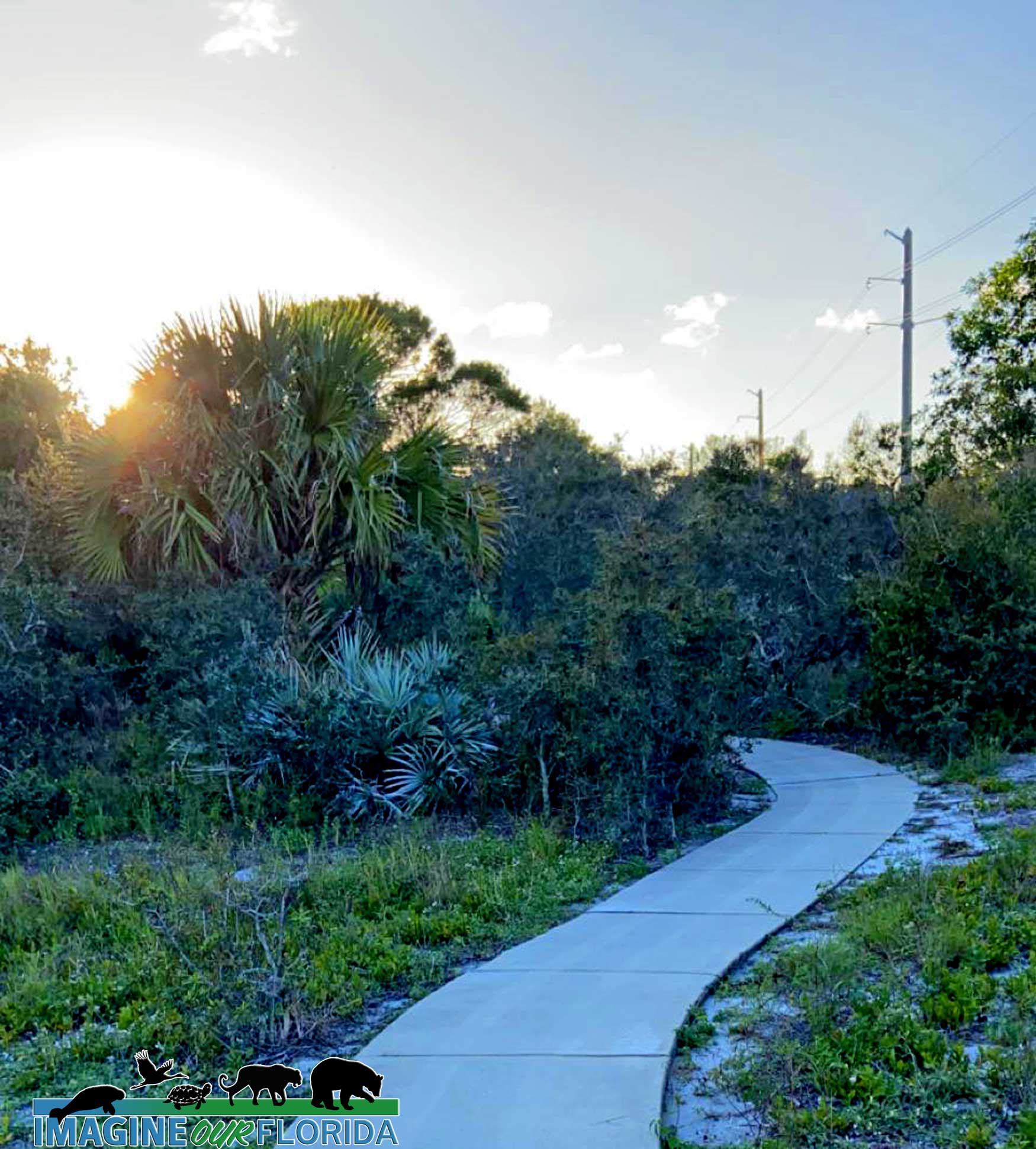
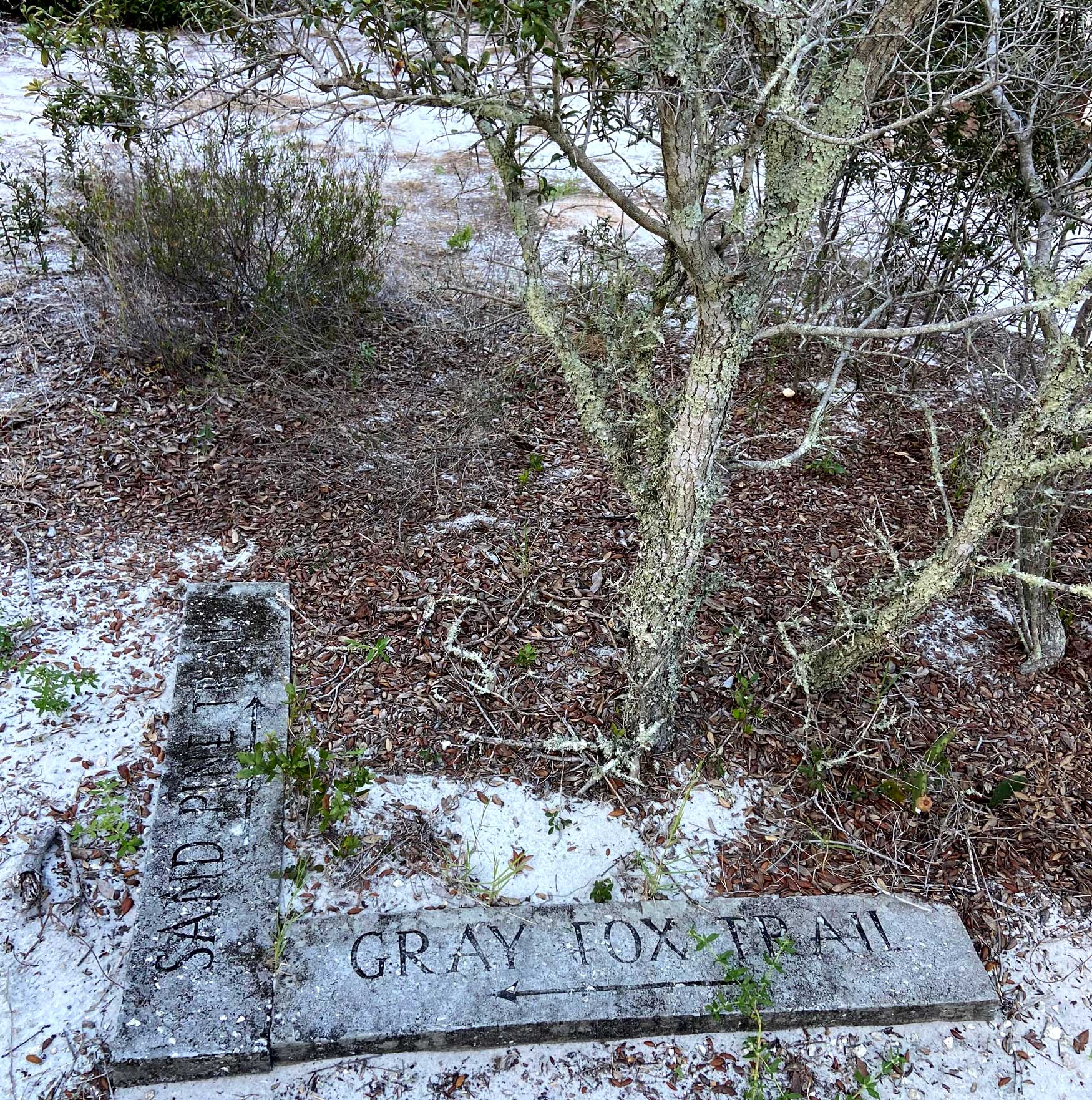
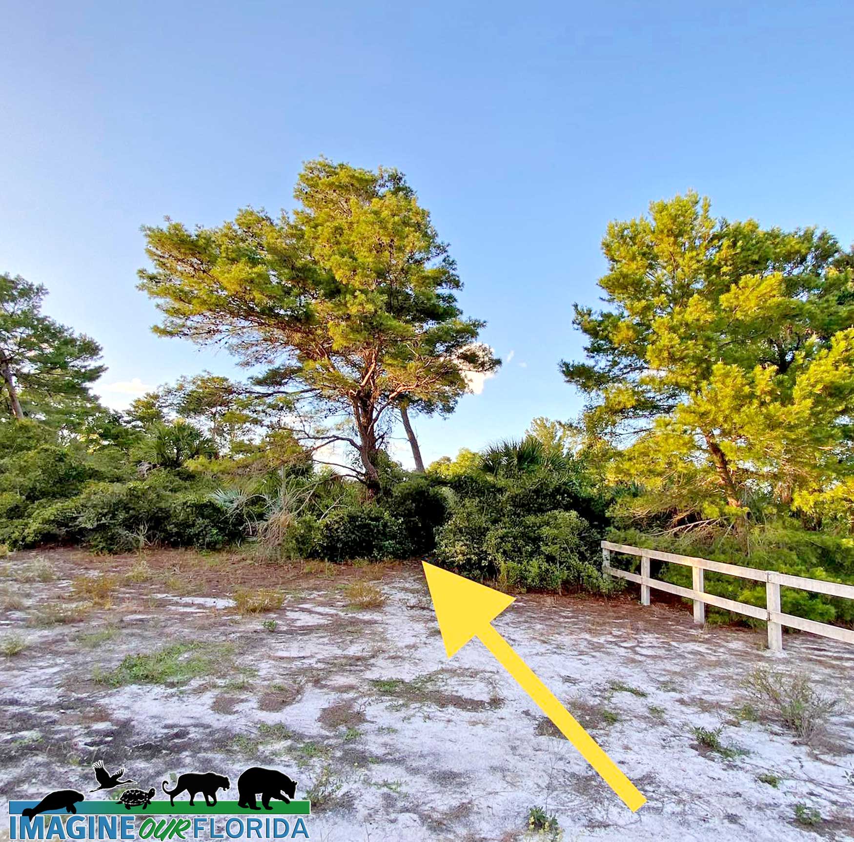
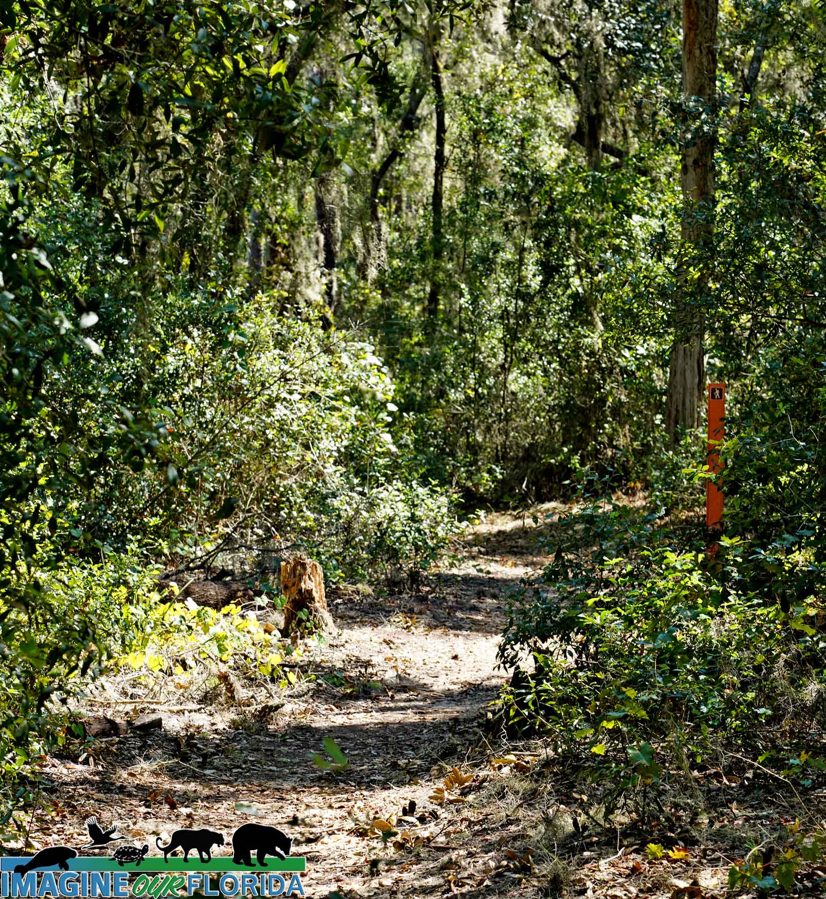
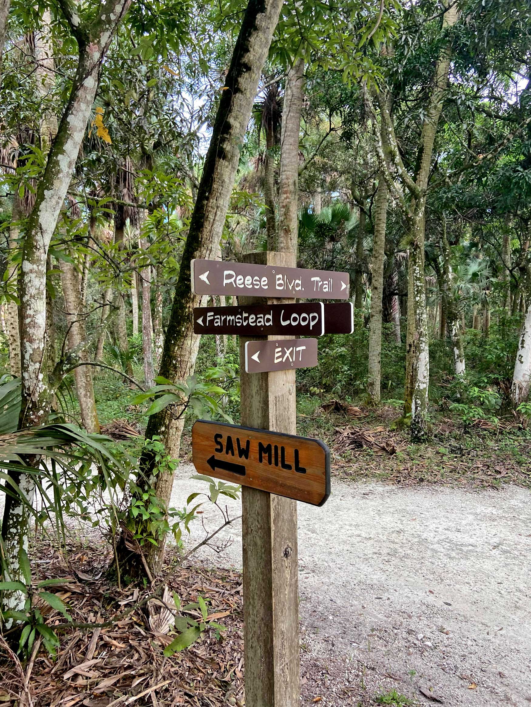
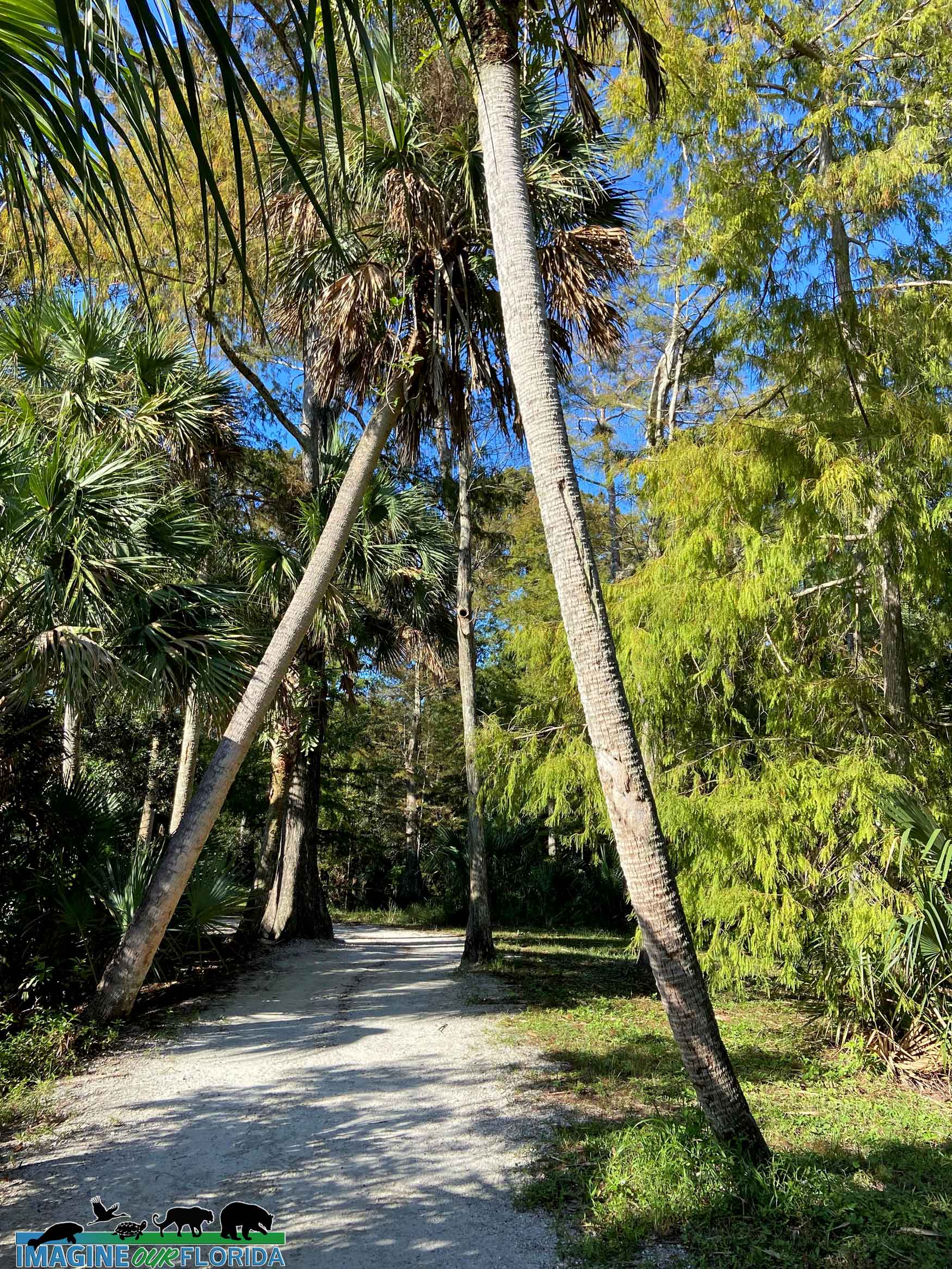
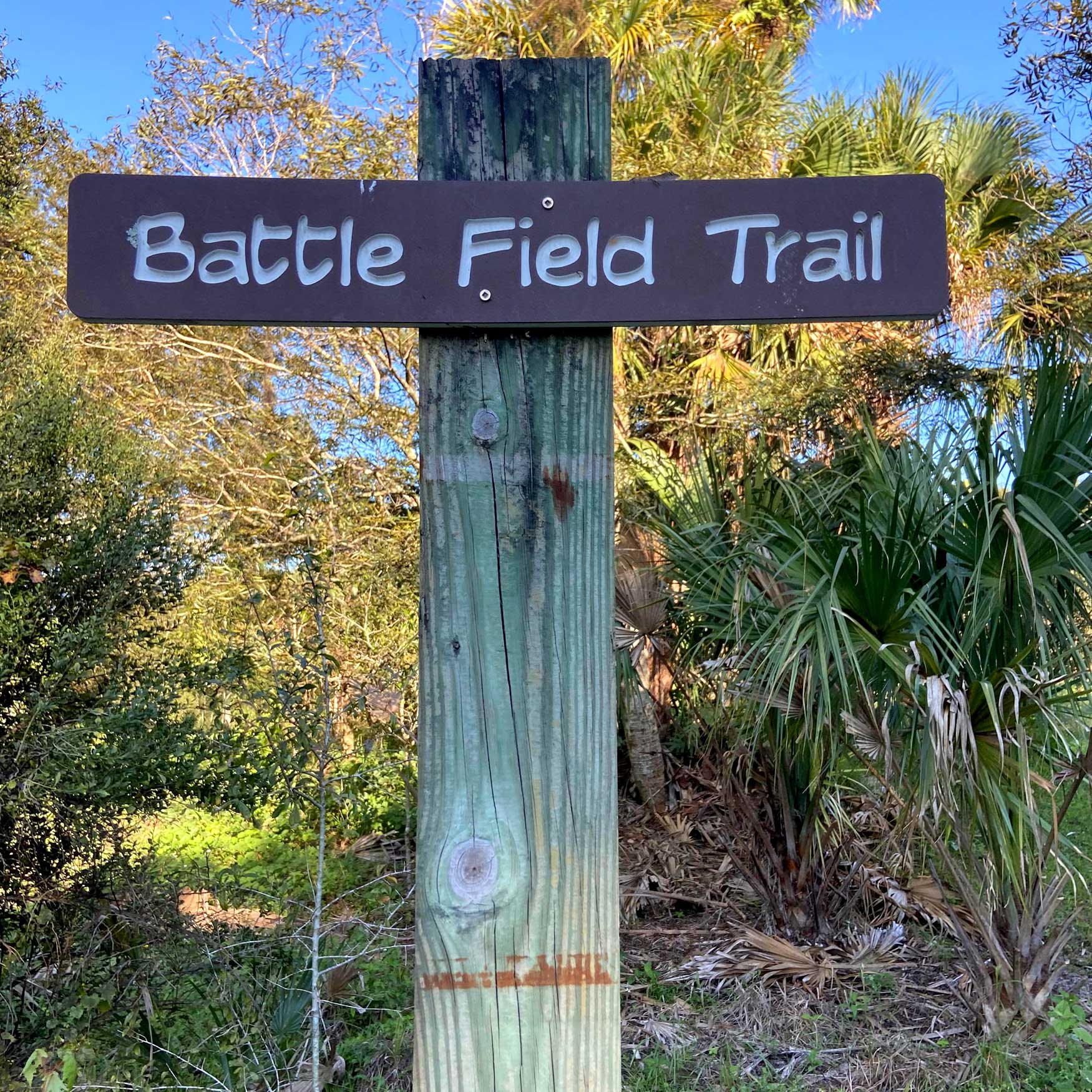
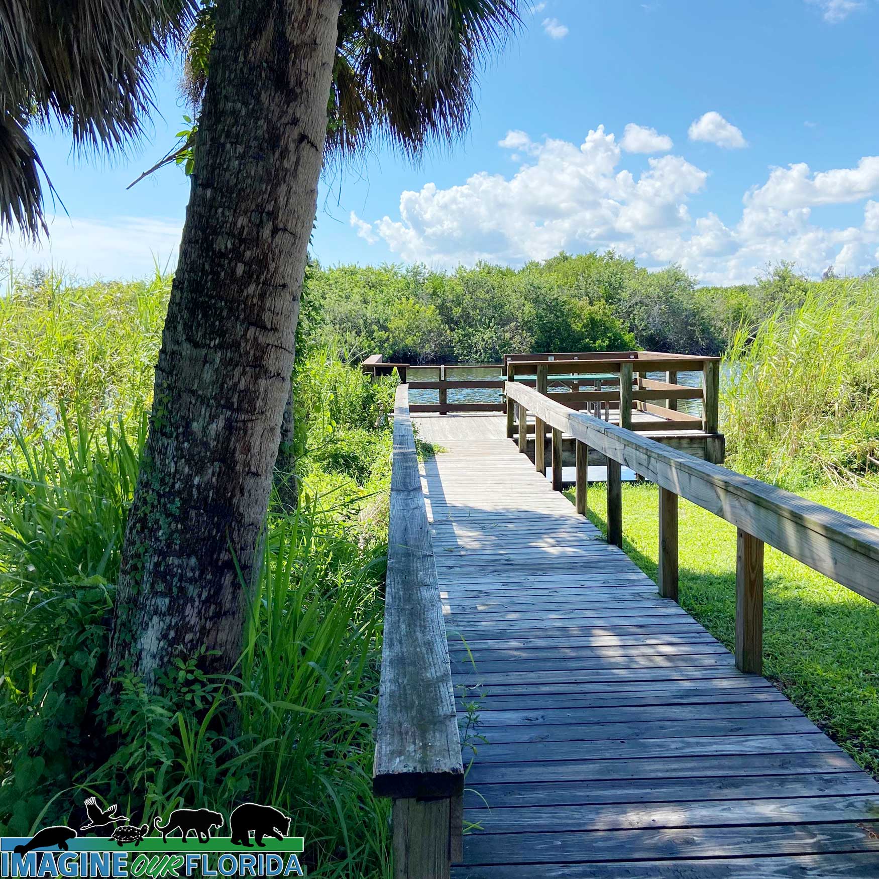
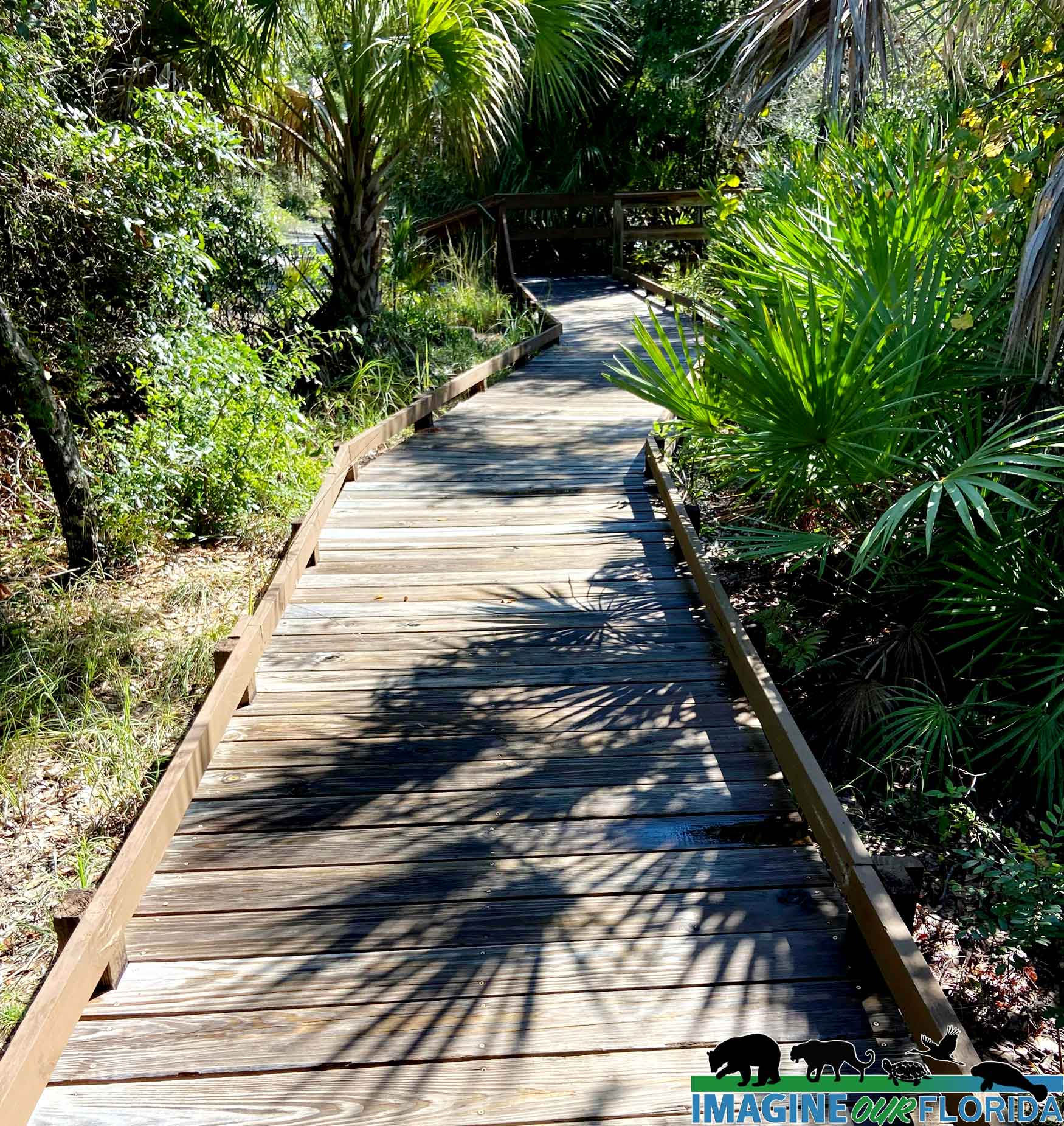
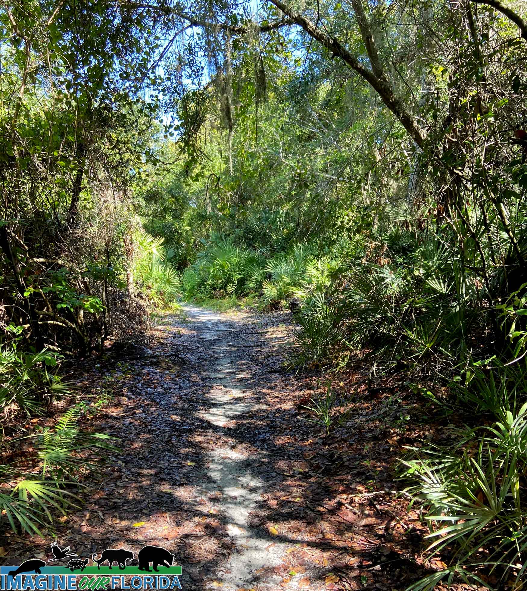
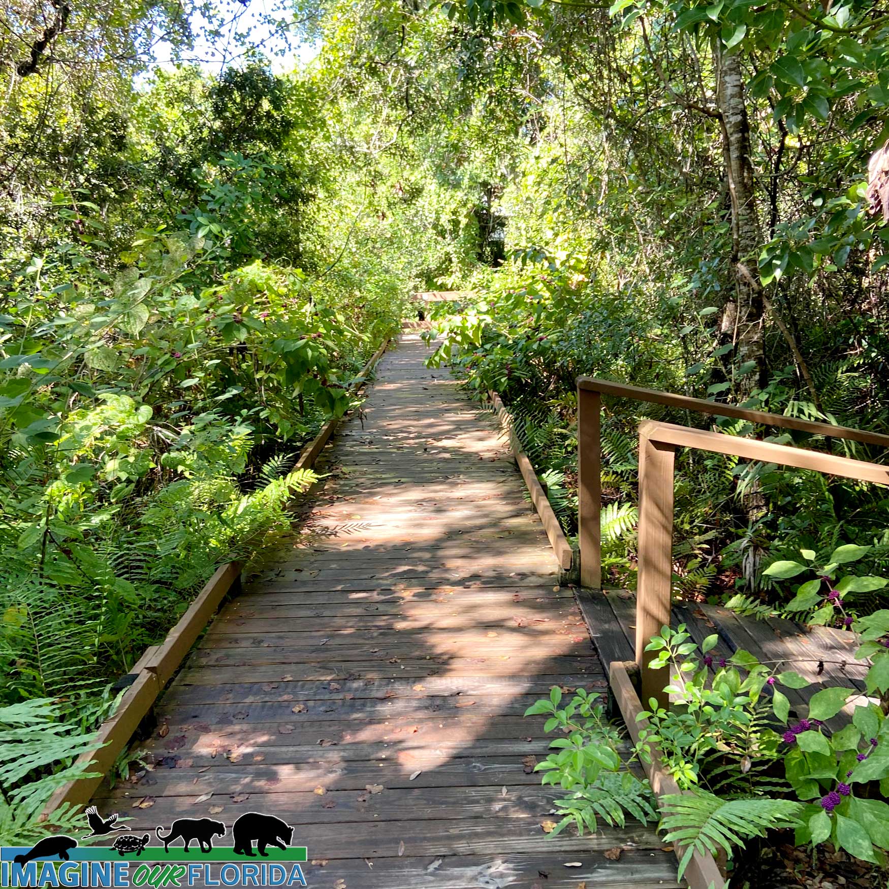
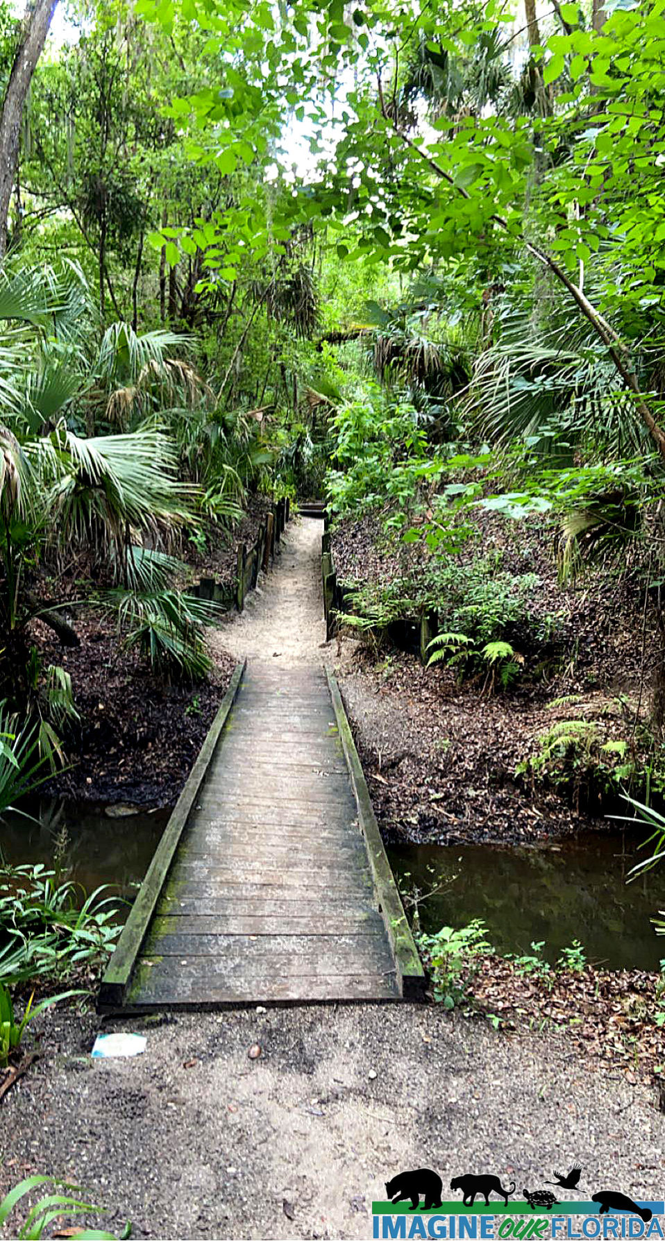
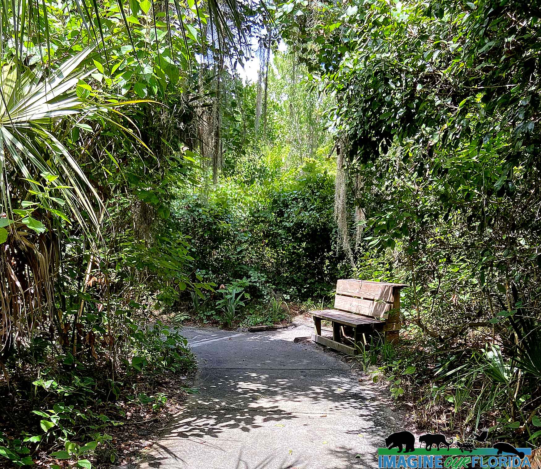
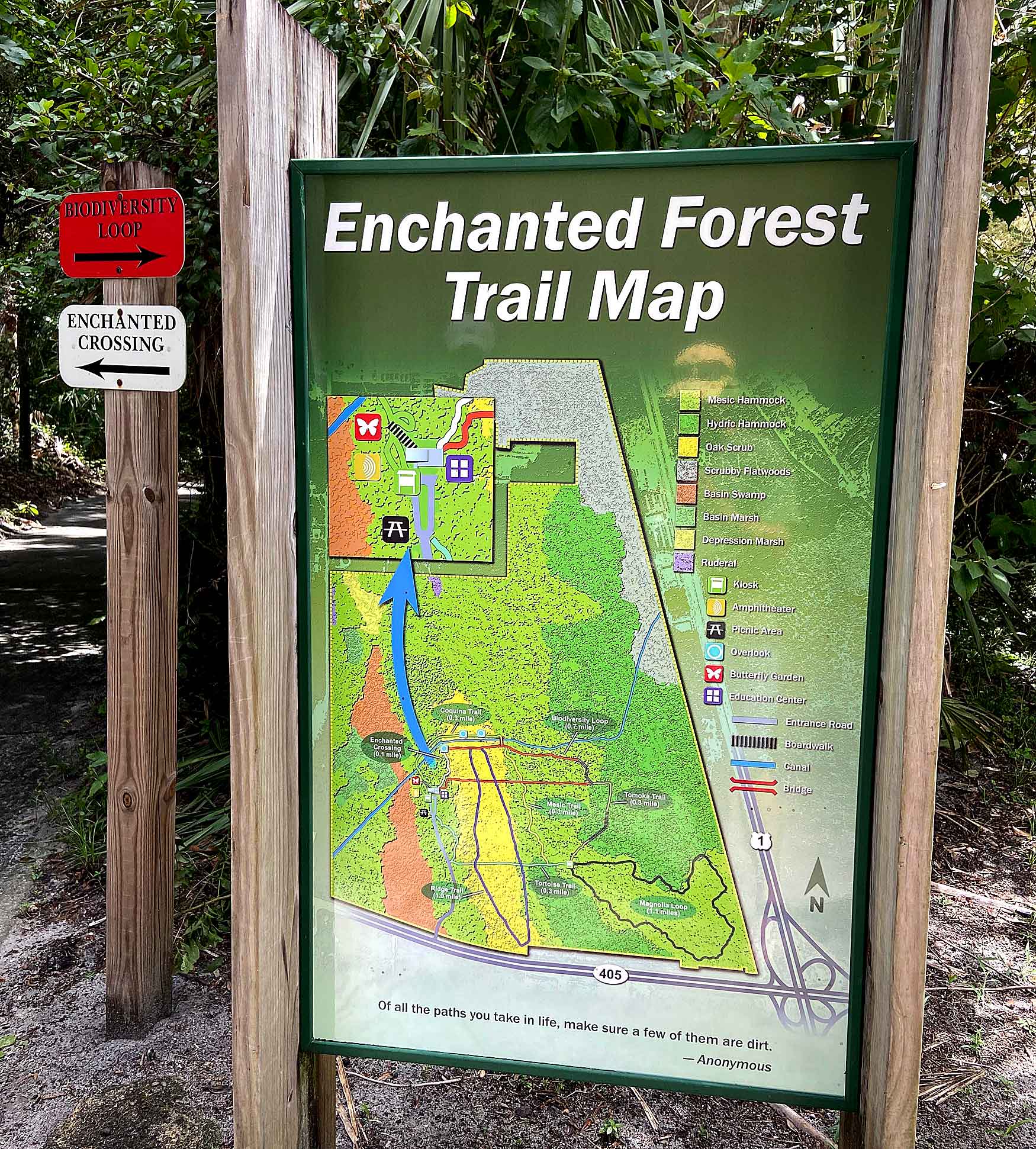
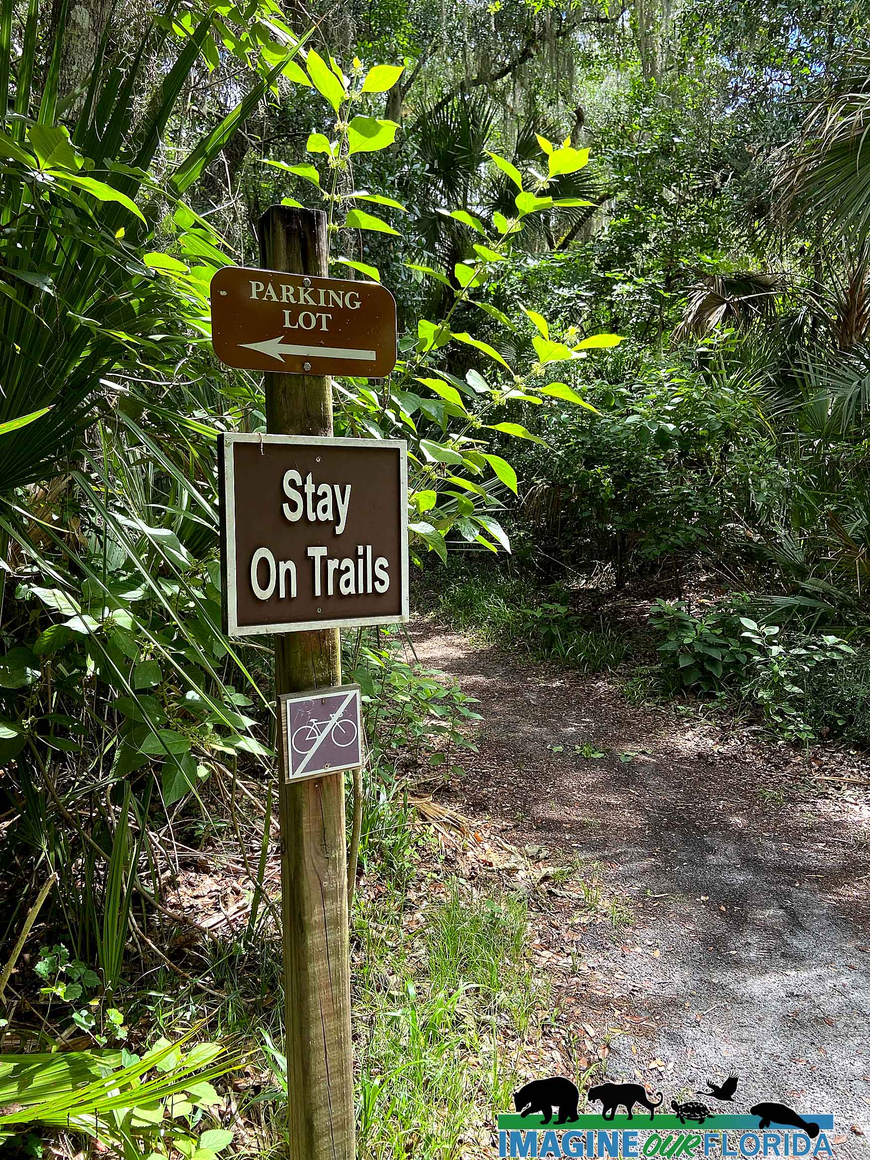
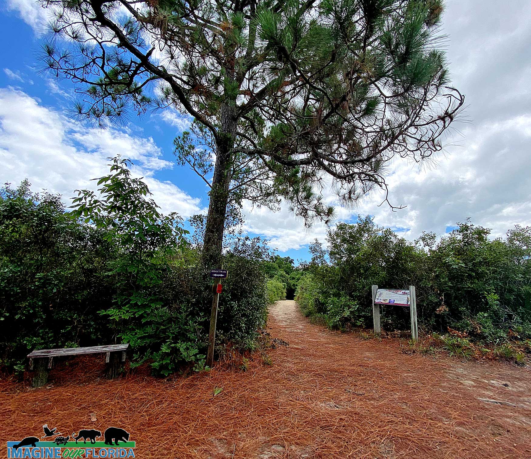
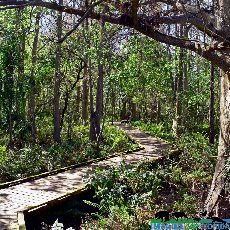
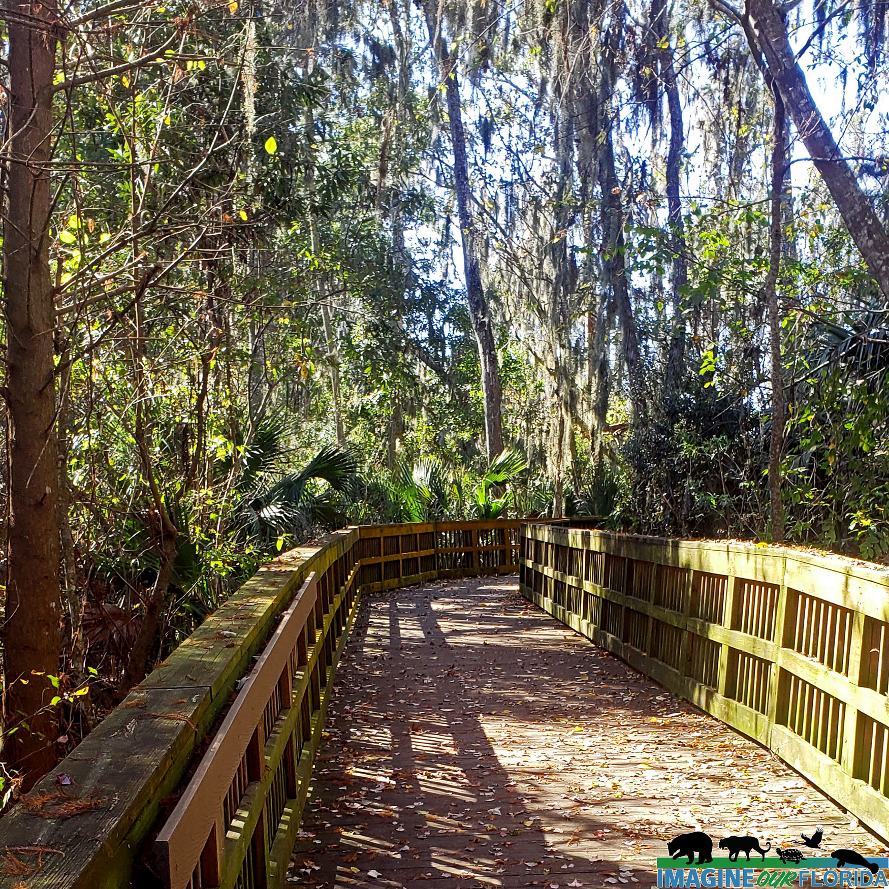
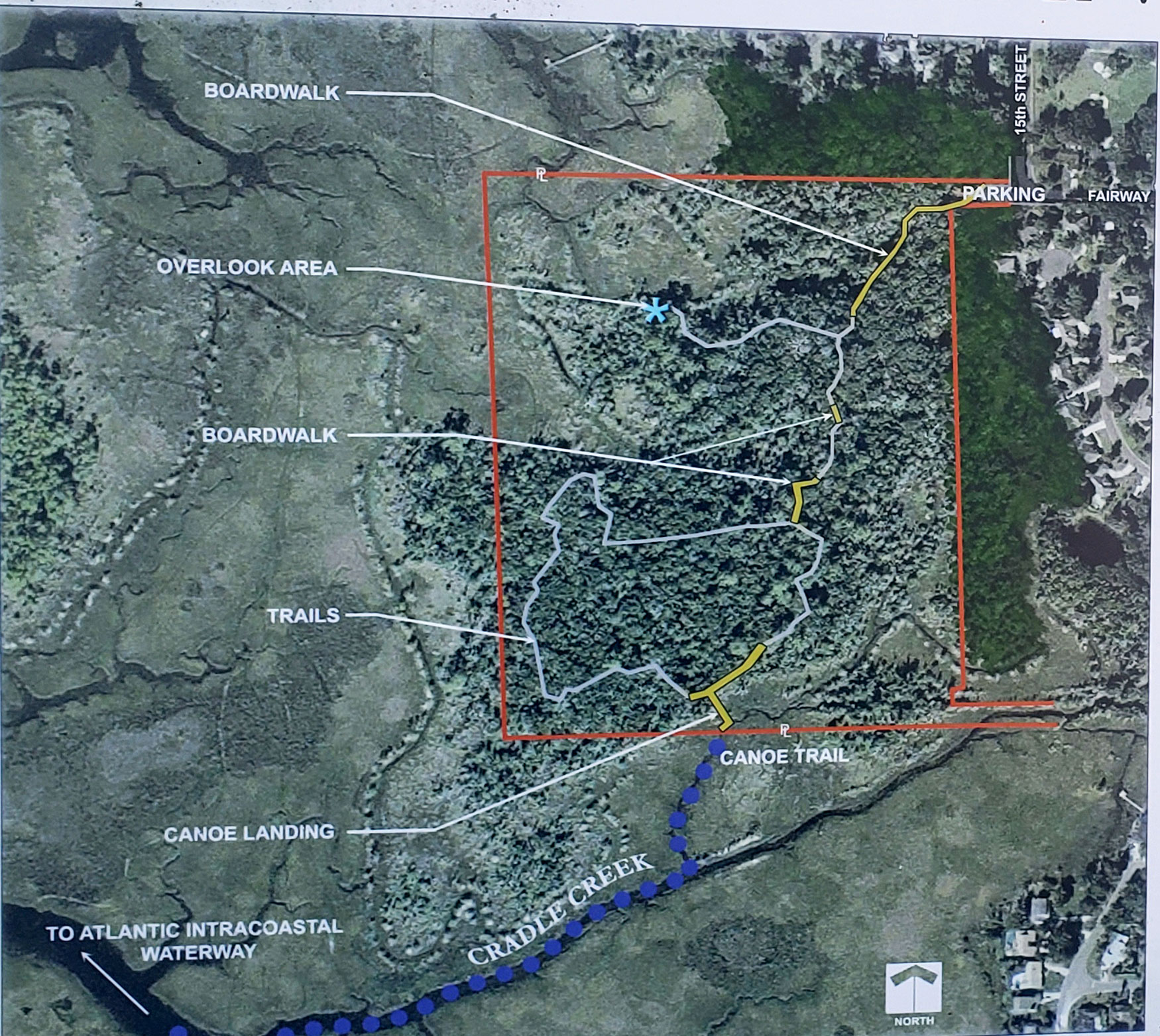
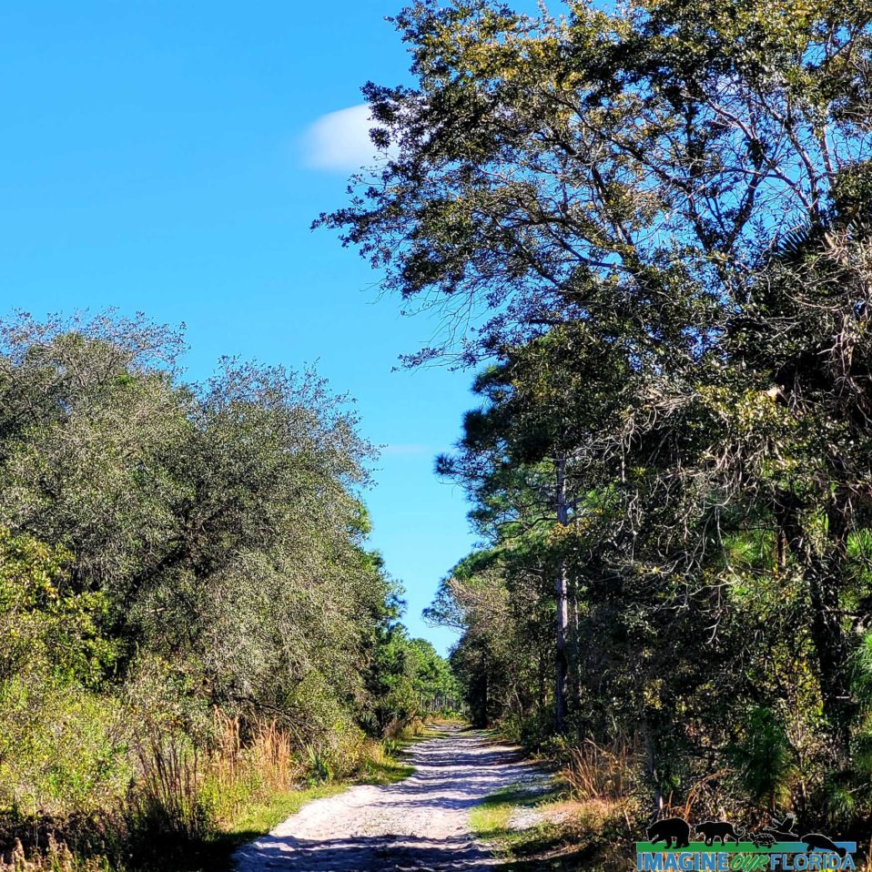
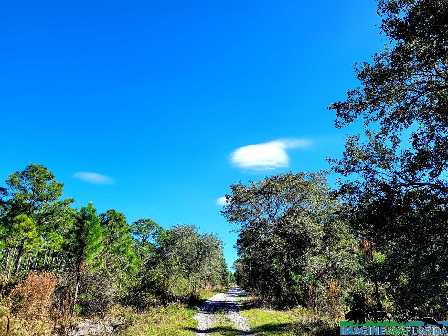
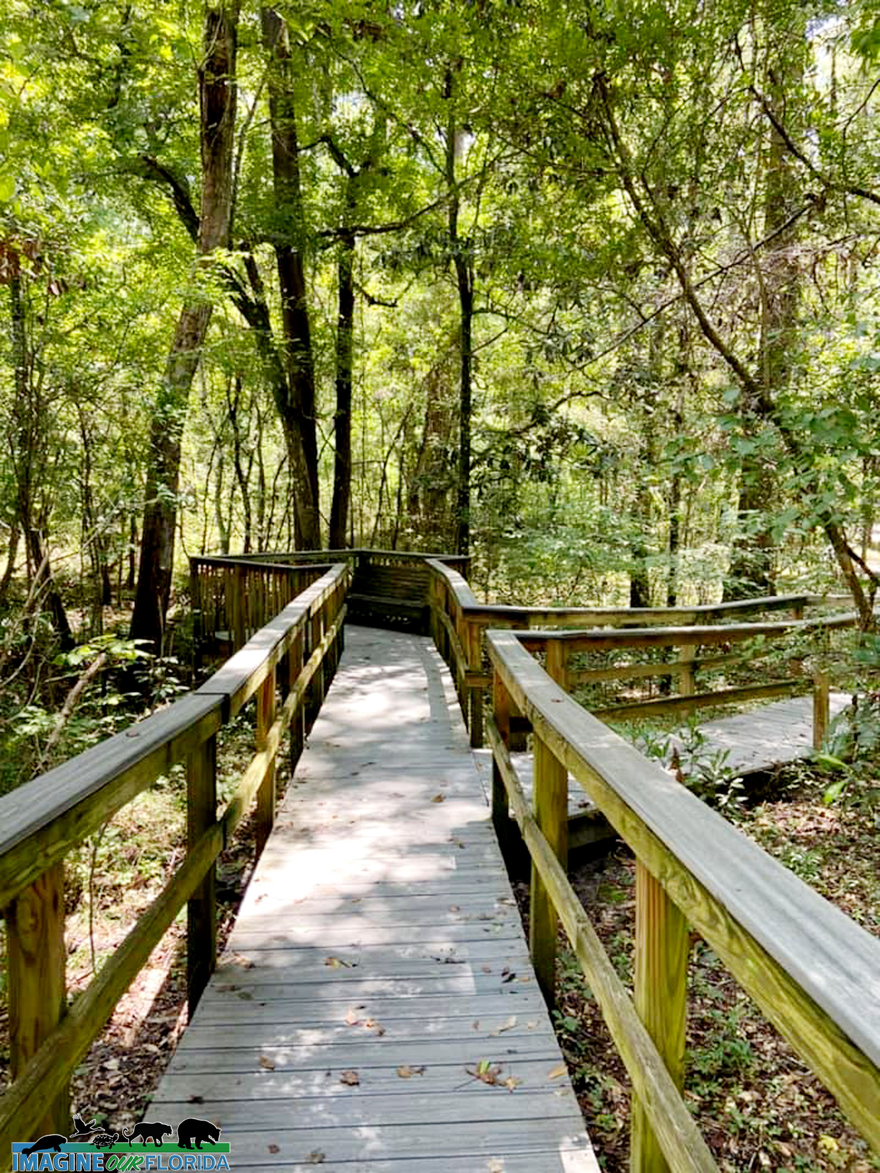
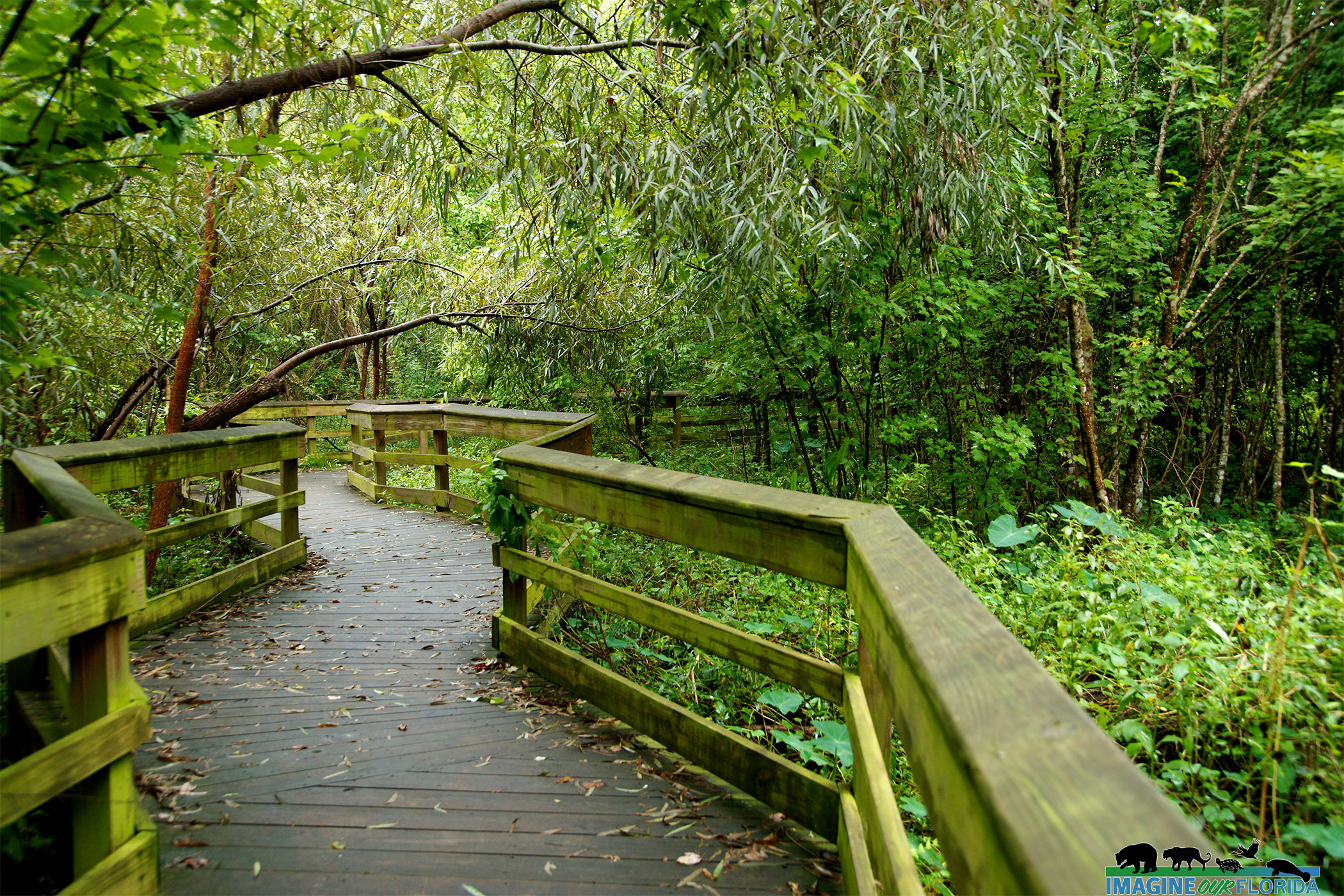
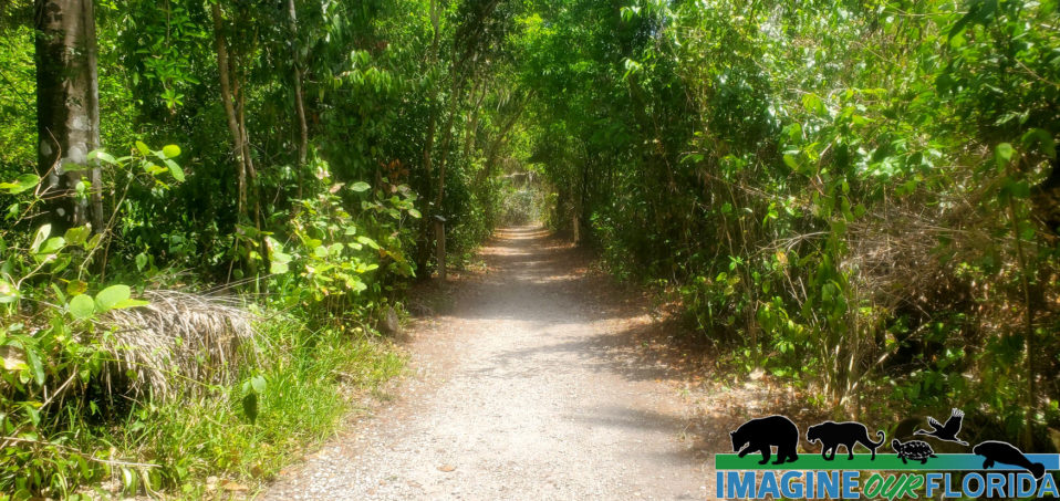
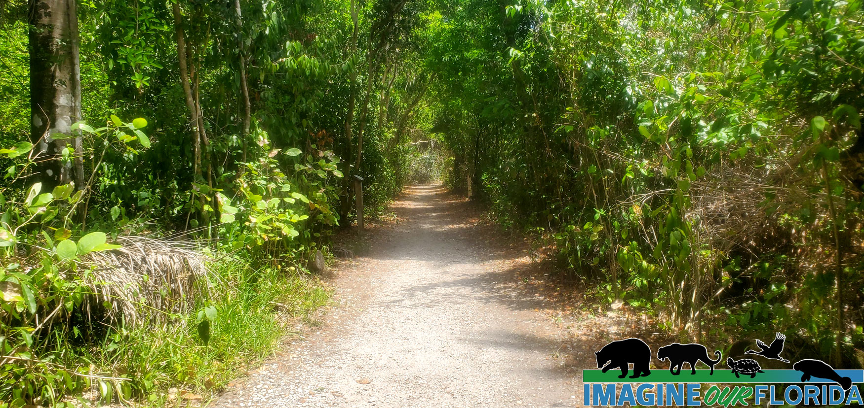
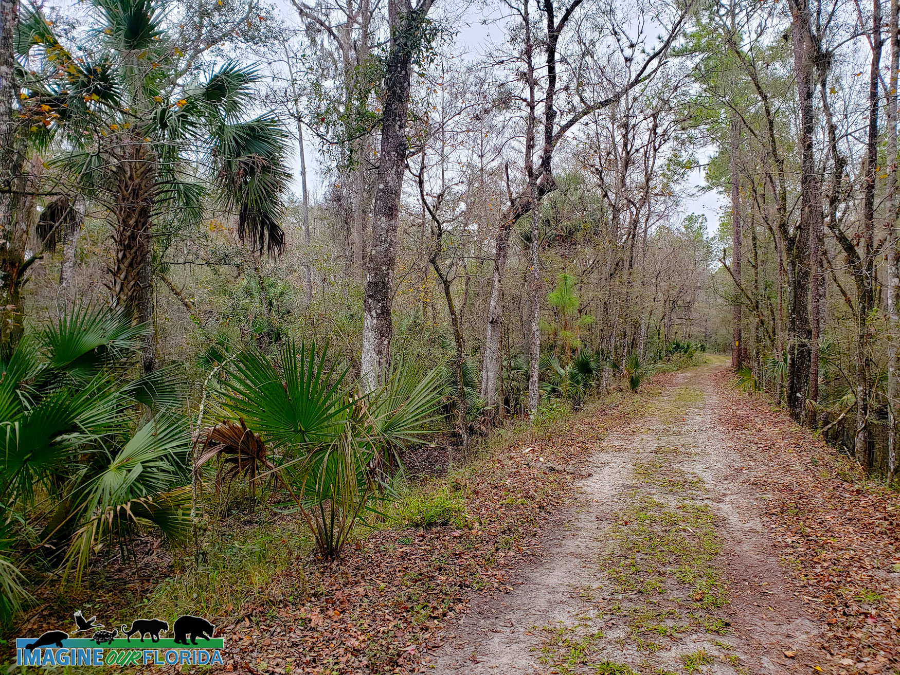
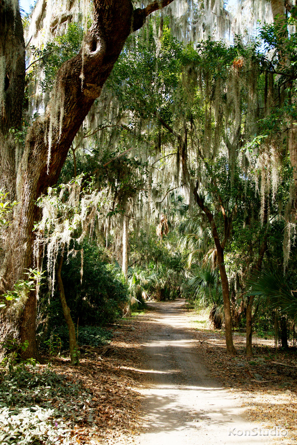
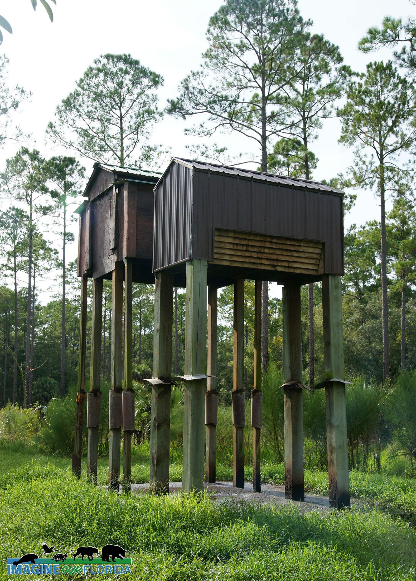
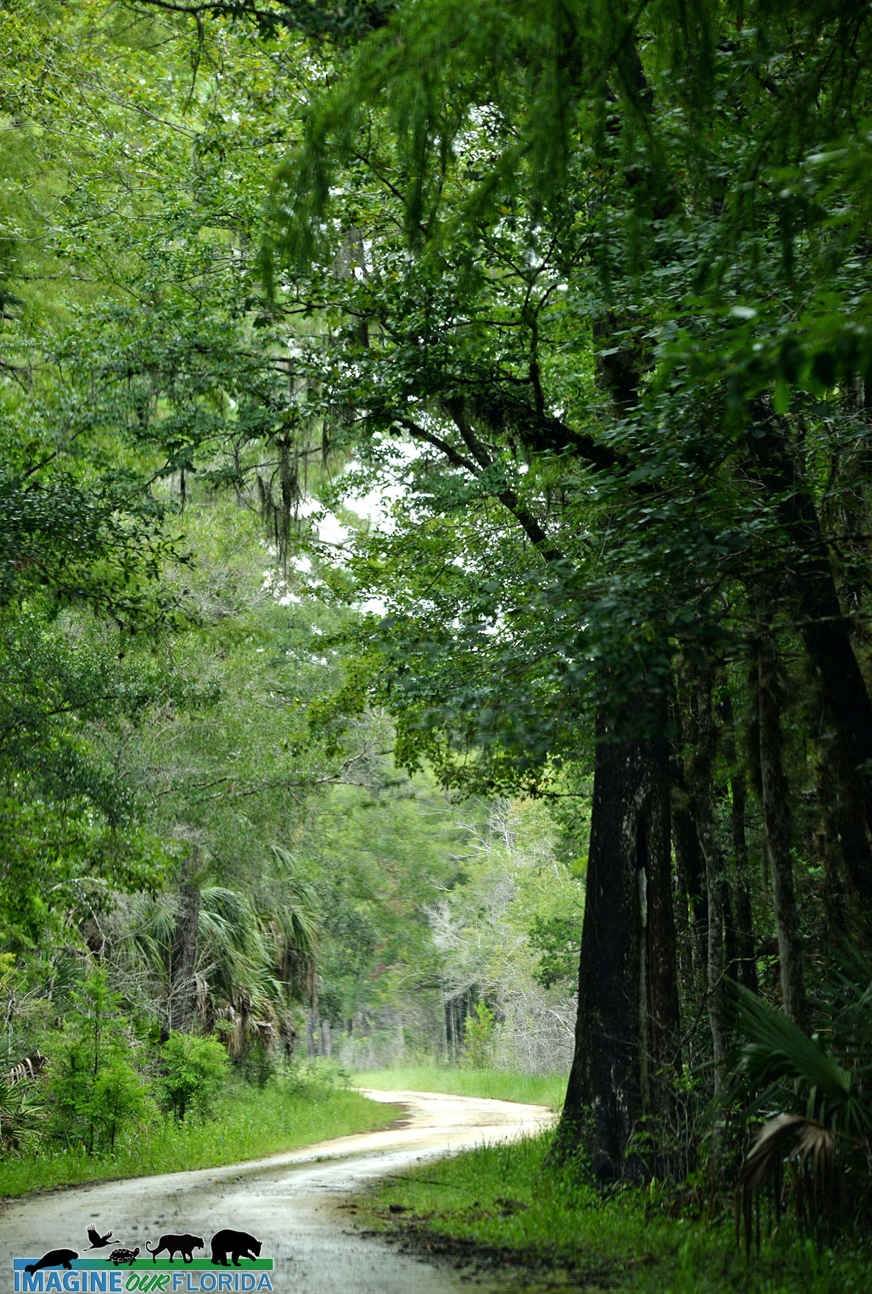
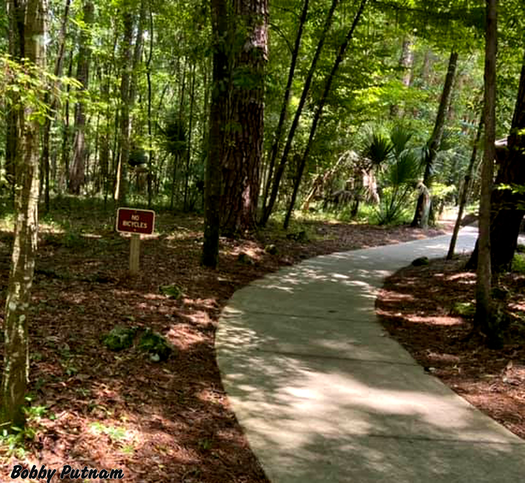
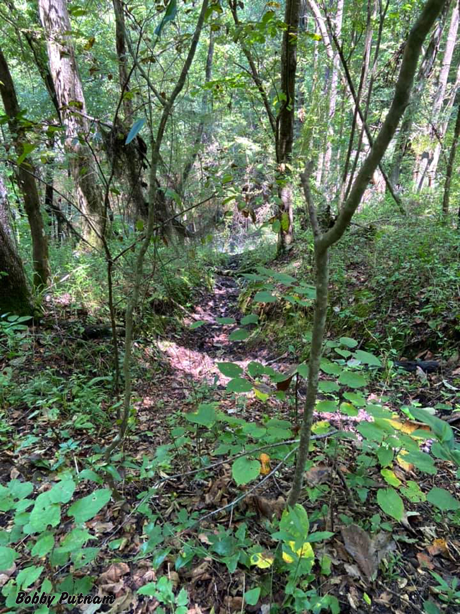
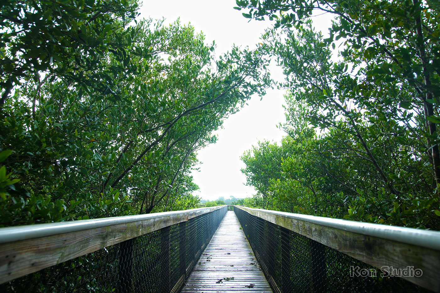
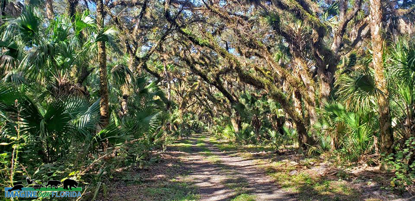
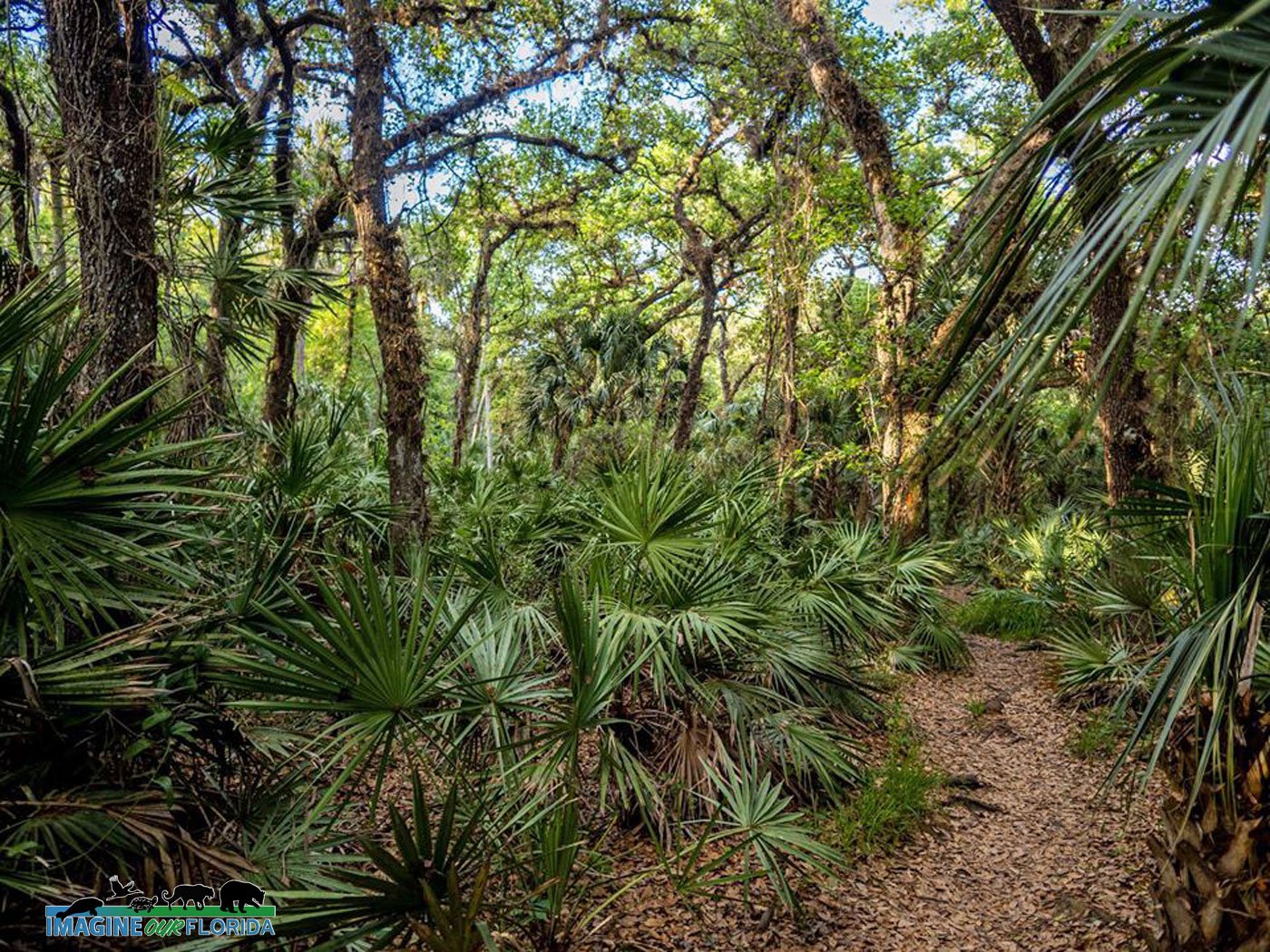
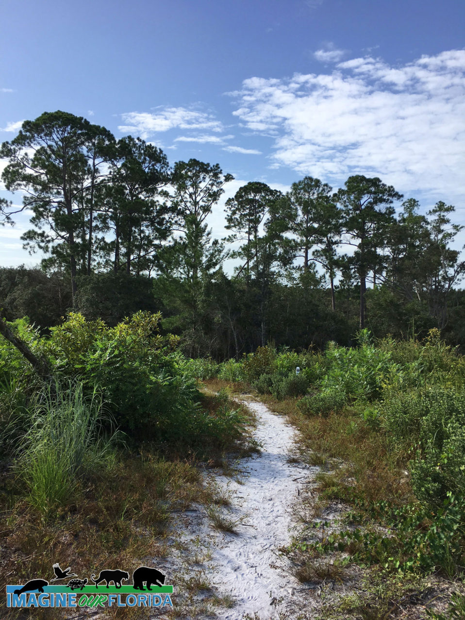
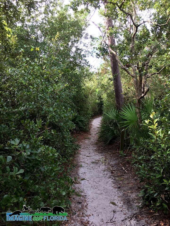
The Little Big Econ State Forest has been named one of the country’s most family-friendly hikes by the American Hiking Society. Saunter along the 5.2-mile loop Kolokee Trail, discover wildlife along the 8 miles of Florida National Scenic Trail, or explore any of the 15 miles of trails located in the forest.
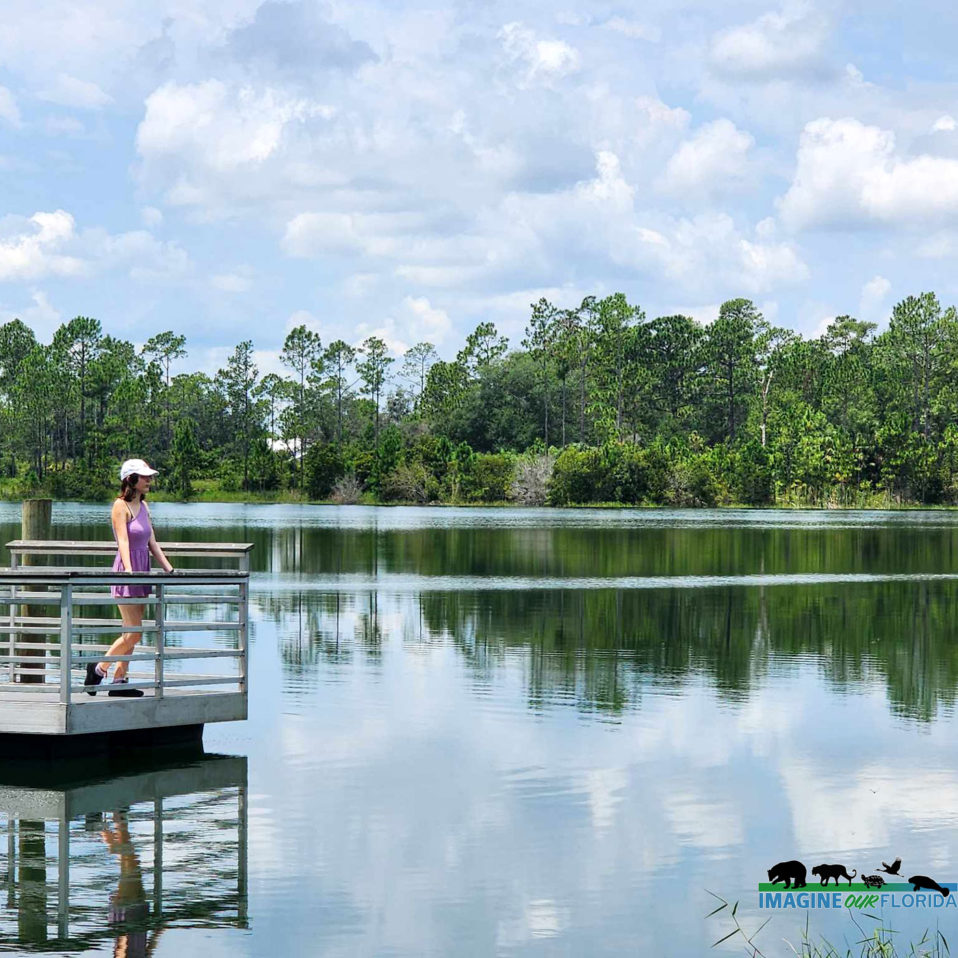
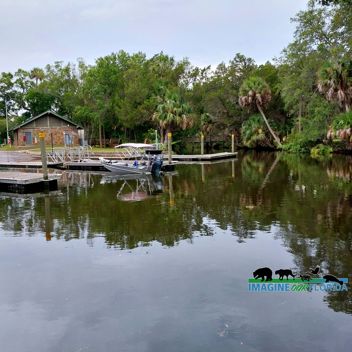
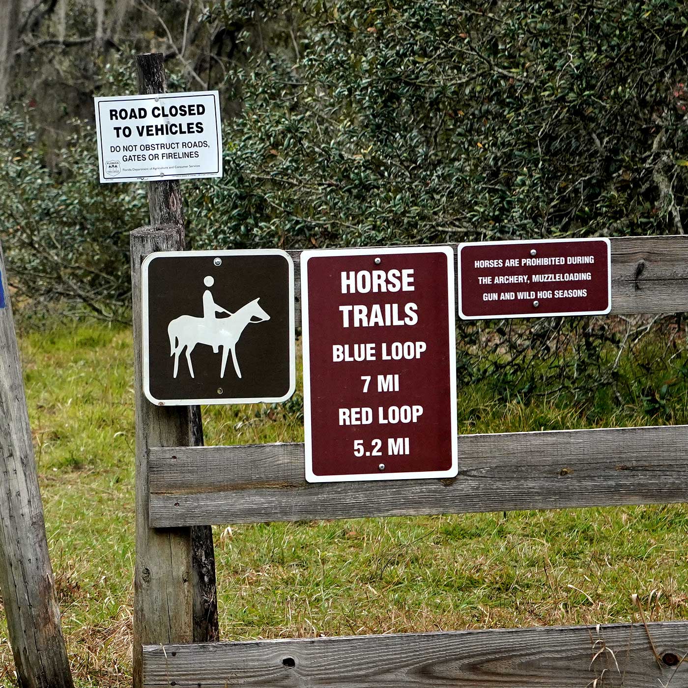
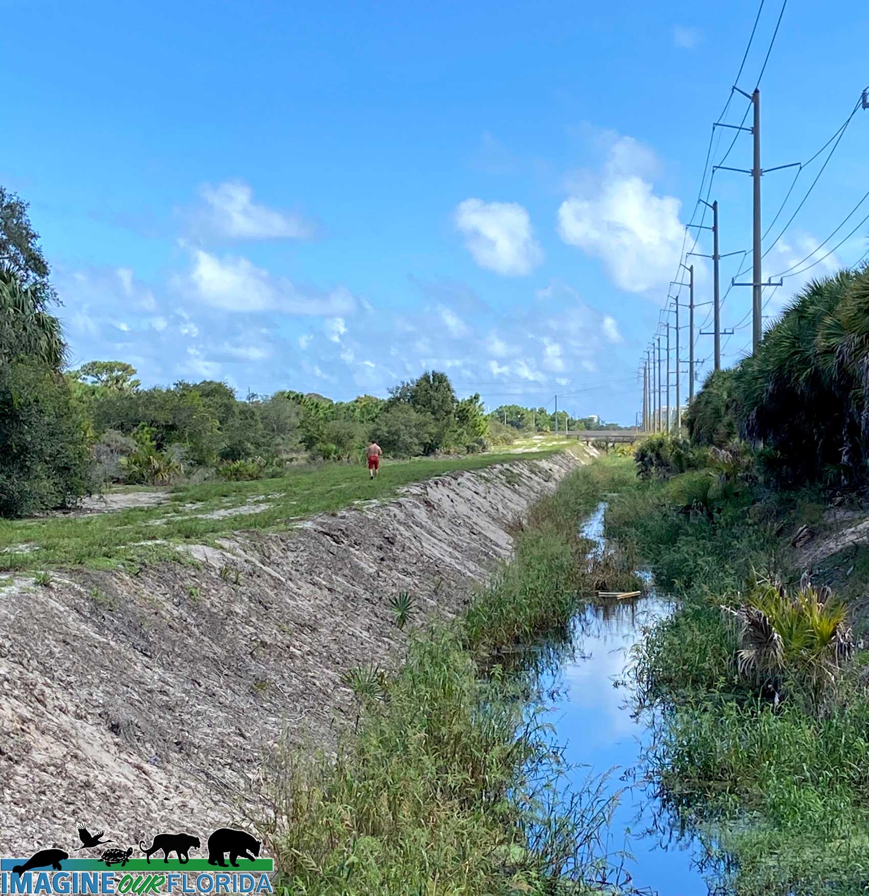
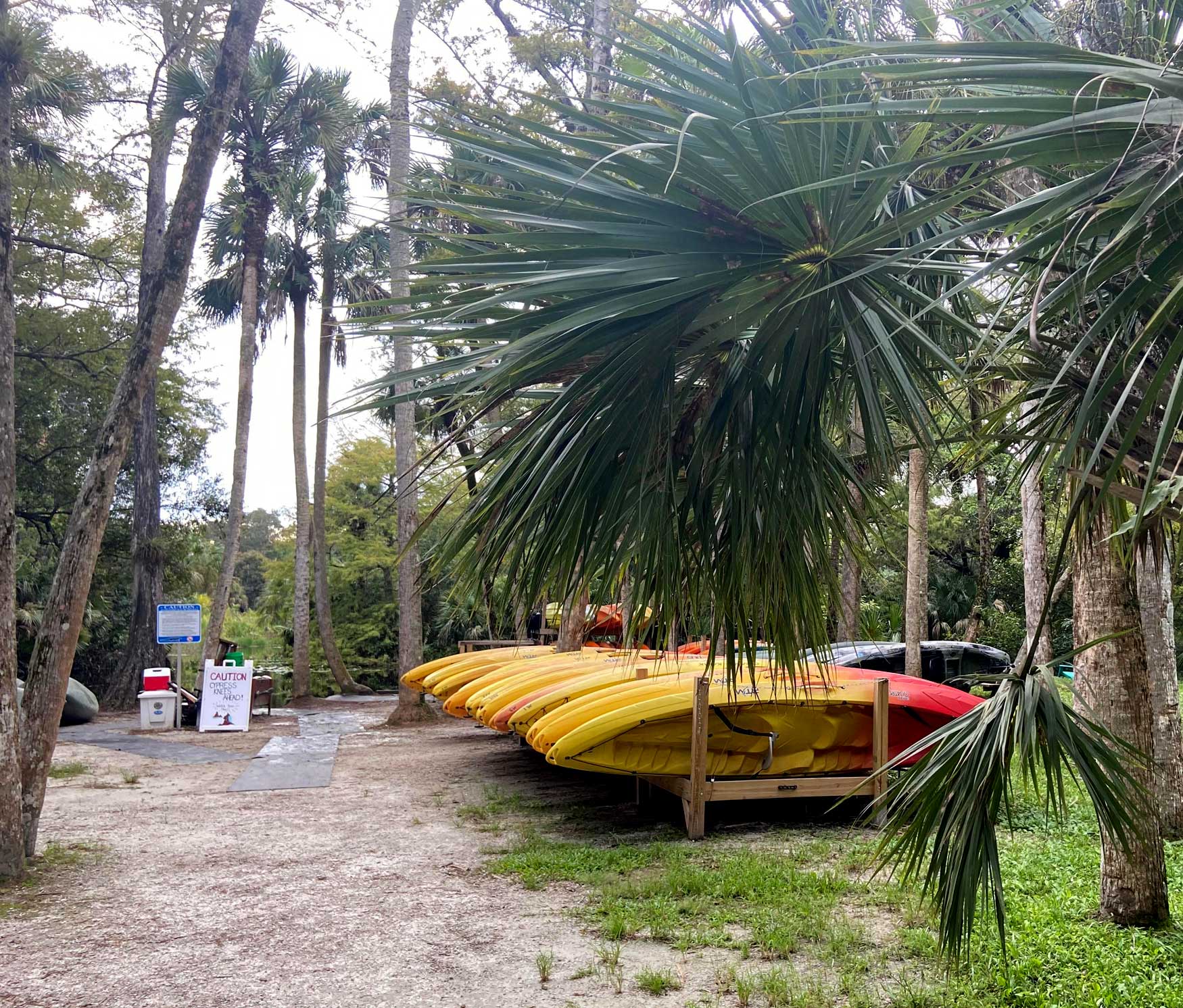
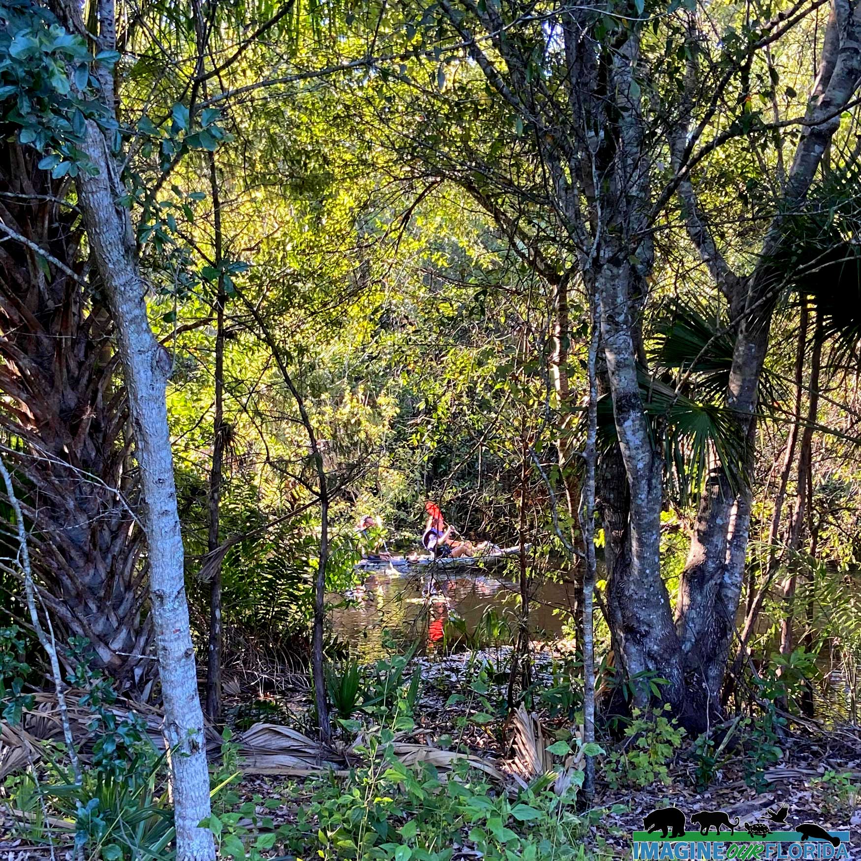
Paddle all or a portion of the 20 mile-long Econlockhatchee River Paddling Trail. There are 12.1 miles of bicycle trails and 9.3 miles of equestrian trails complete with a water trough.
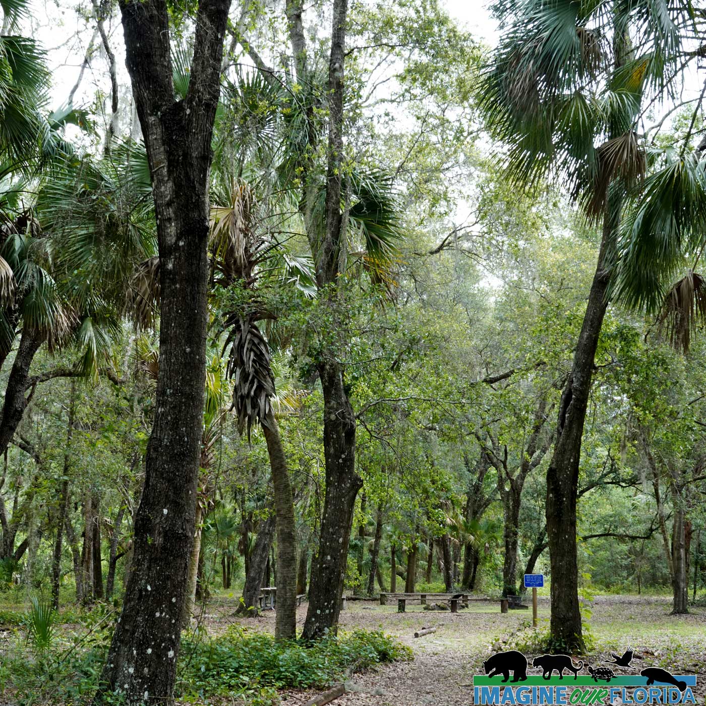
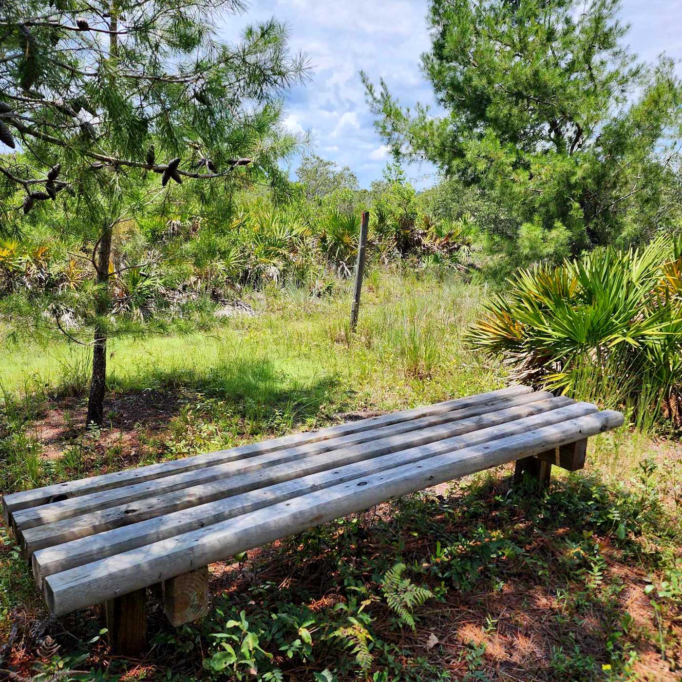
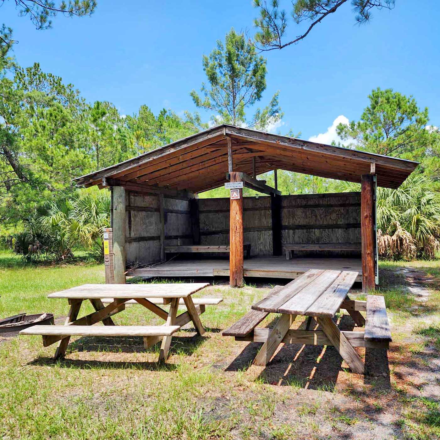
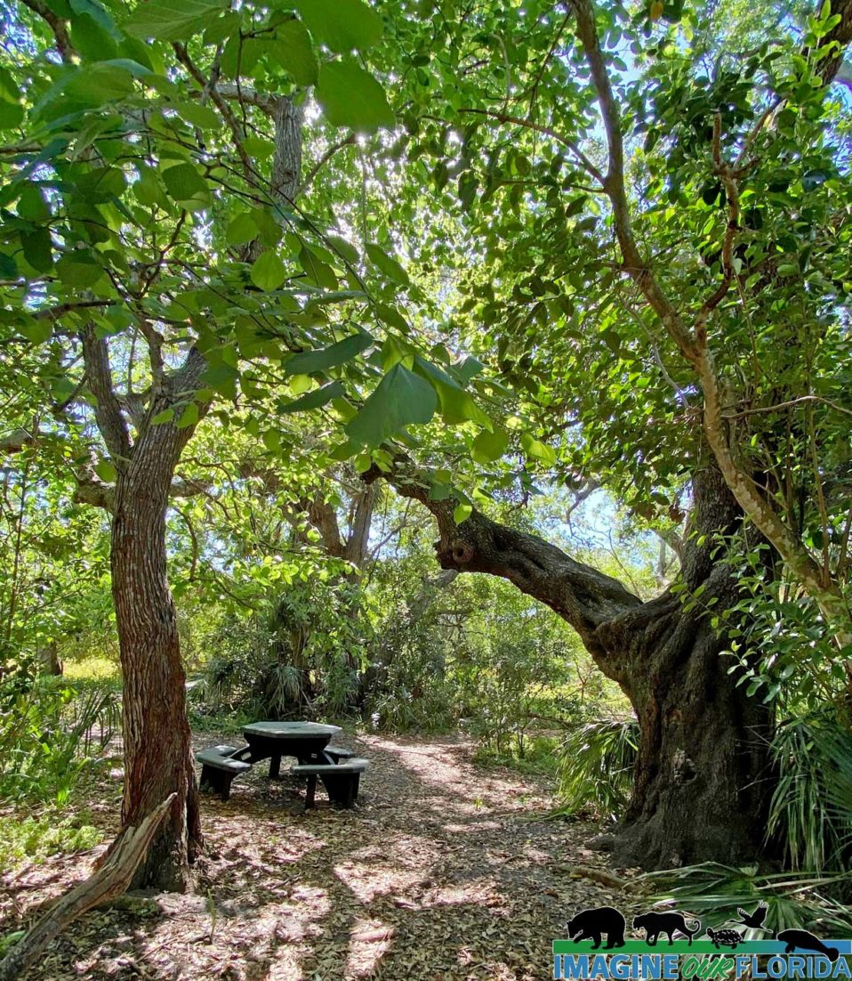
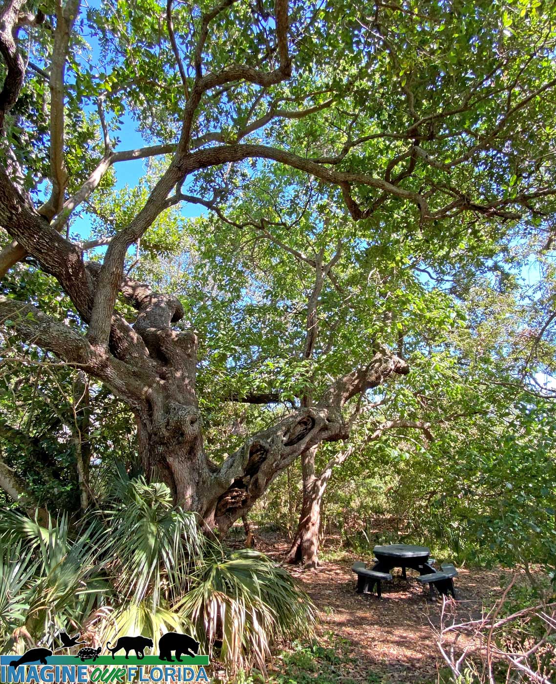
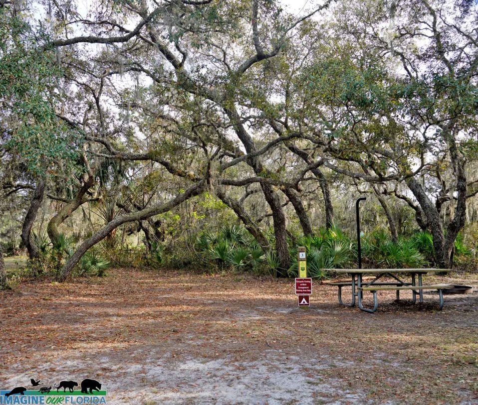
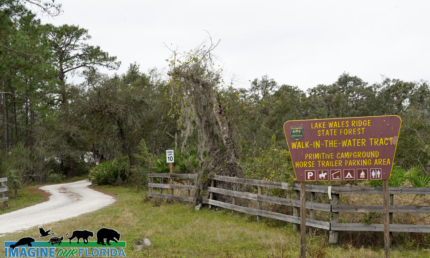
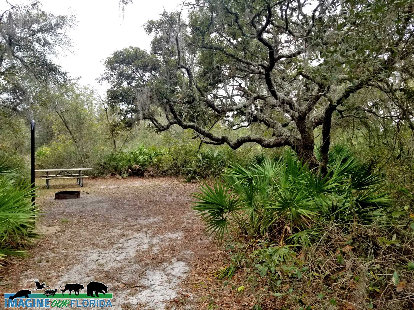
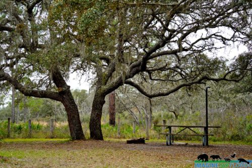
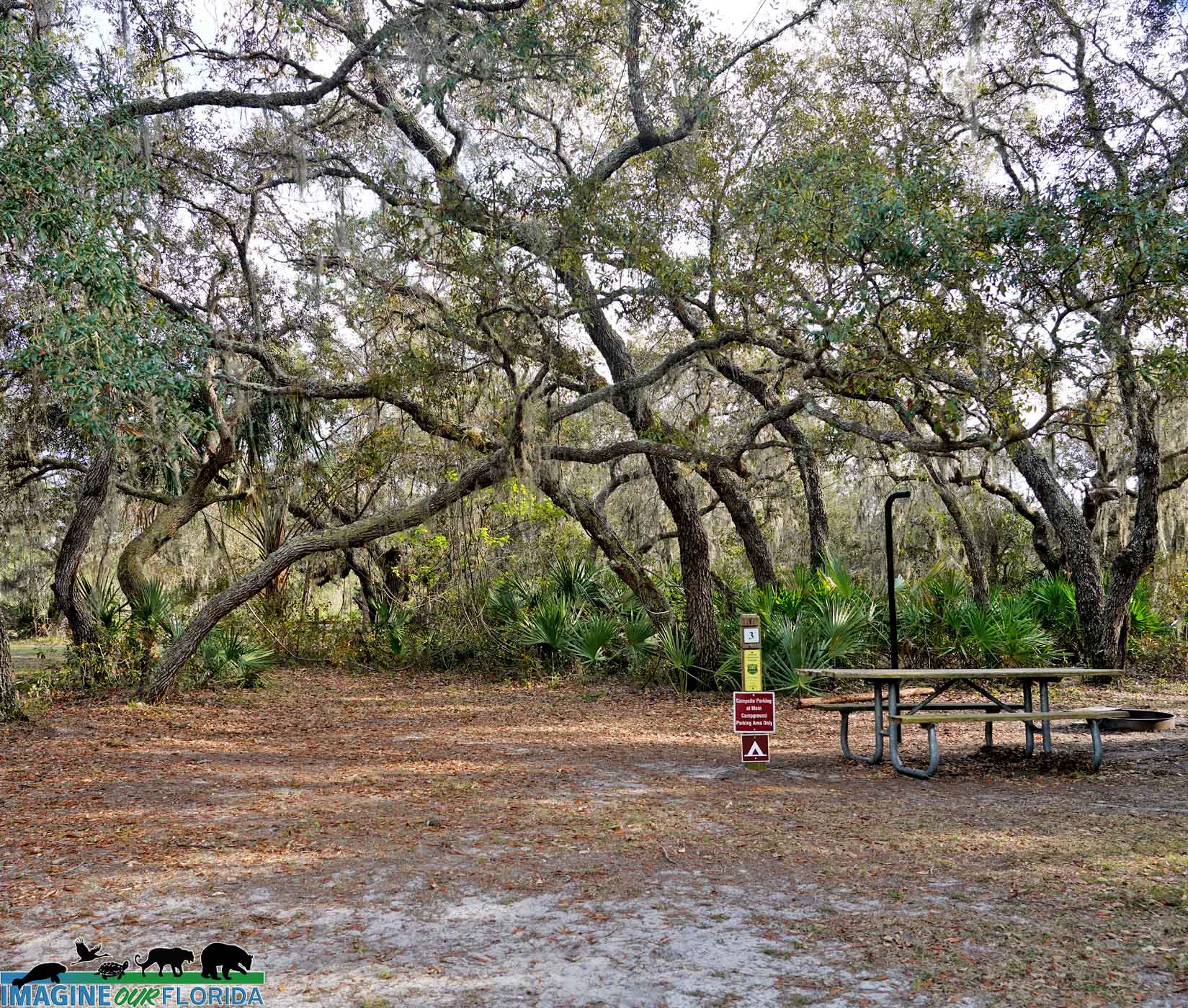
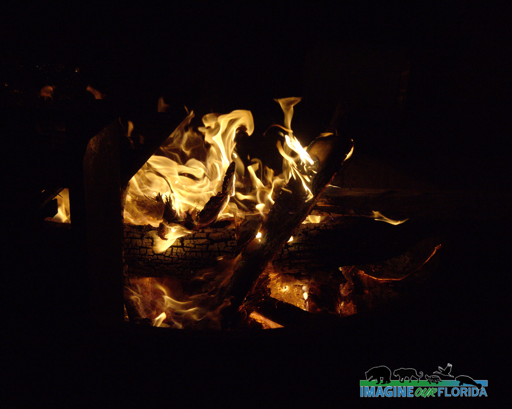
Primitive camping sites are available and some have a picnic table and fire ring.
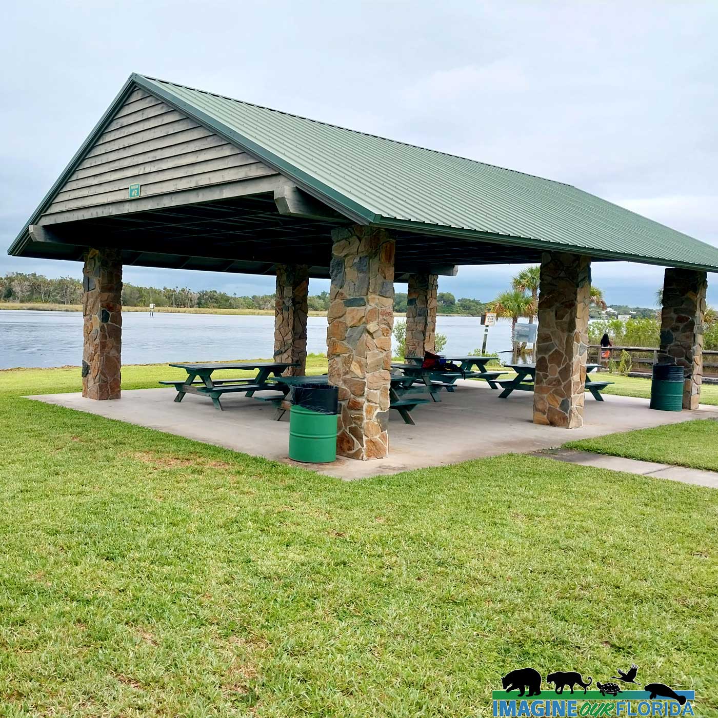
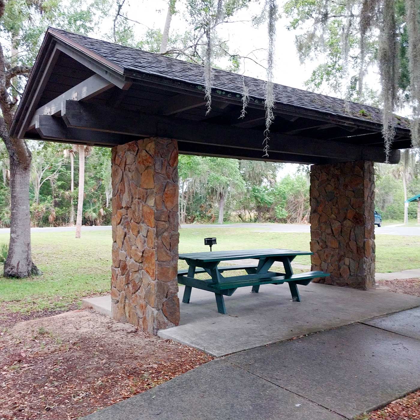
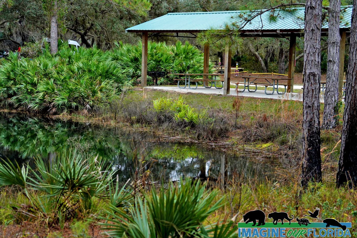
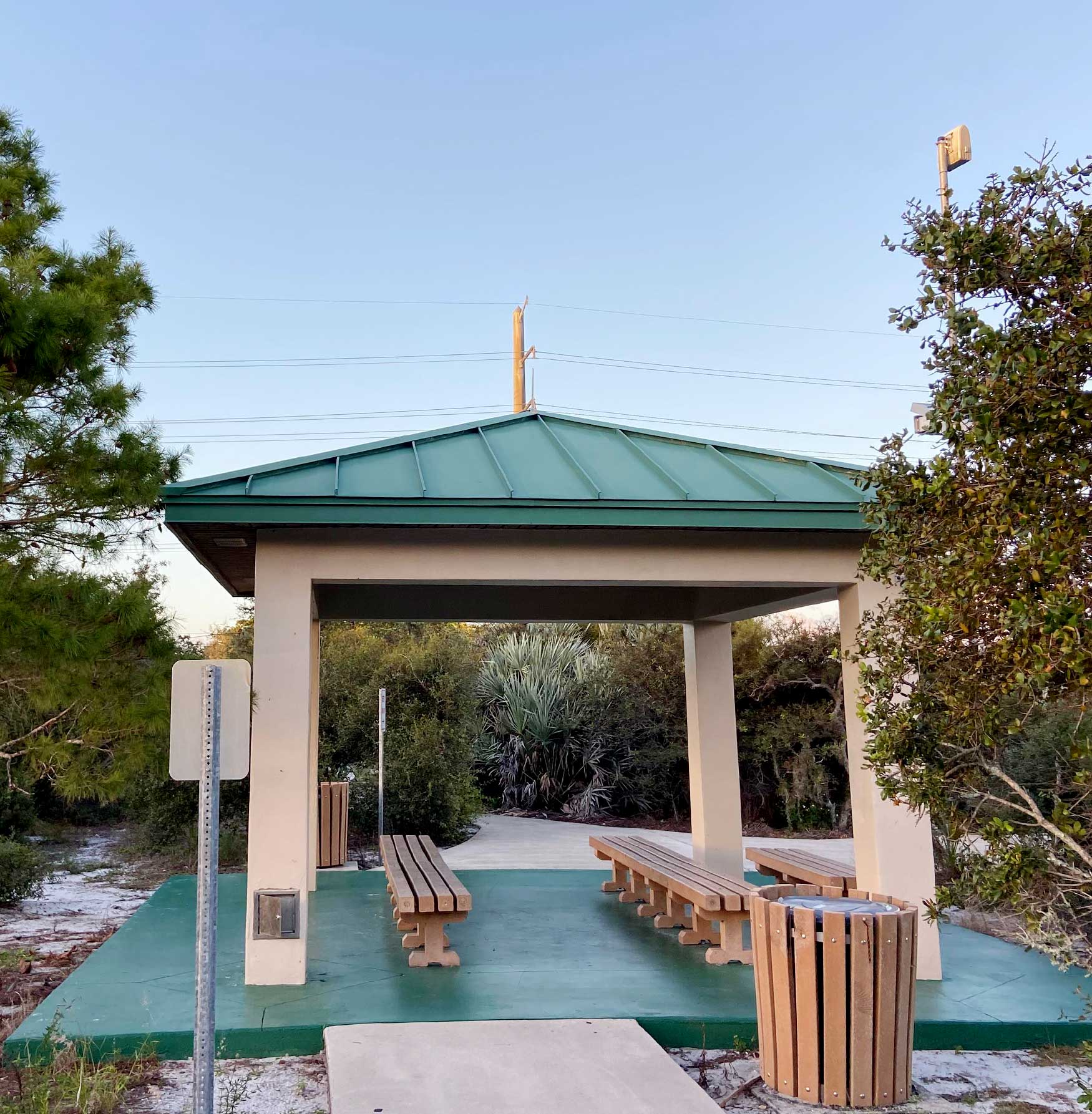
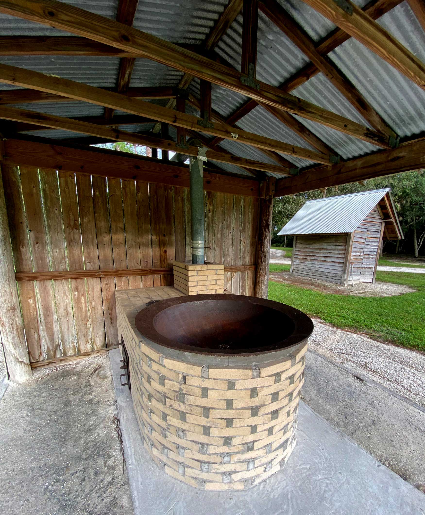
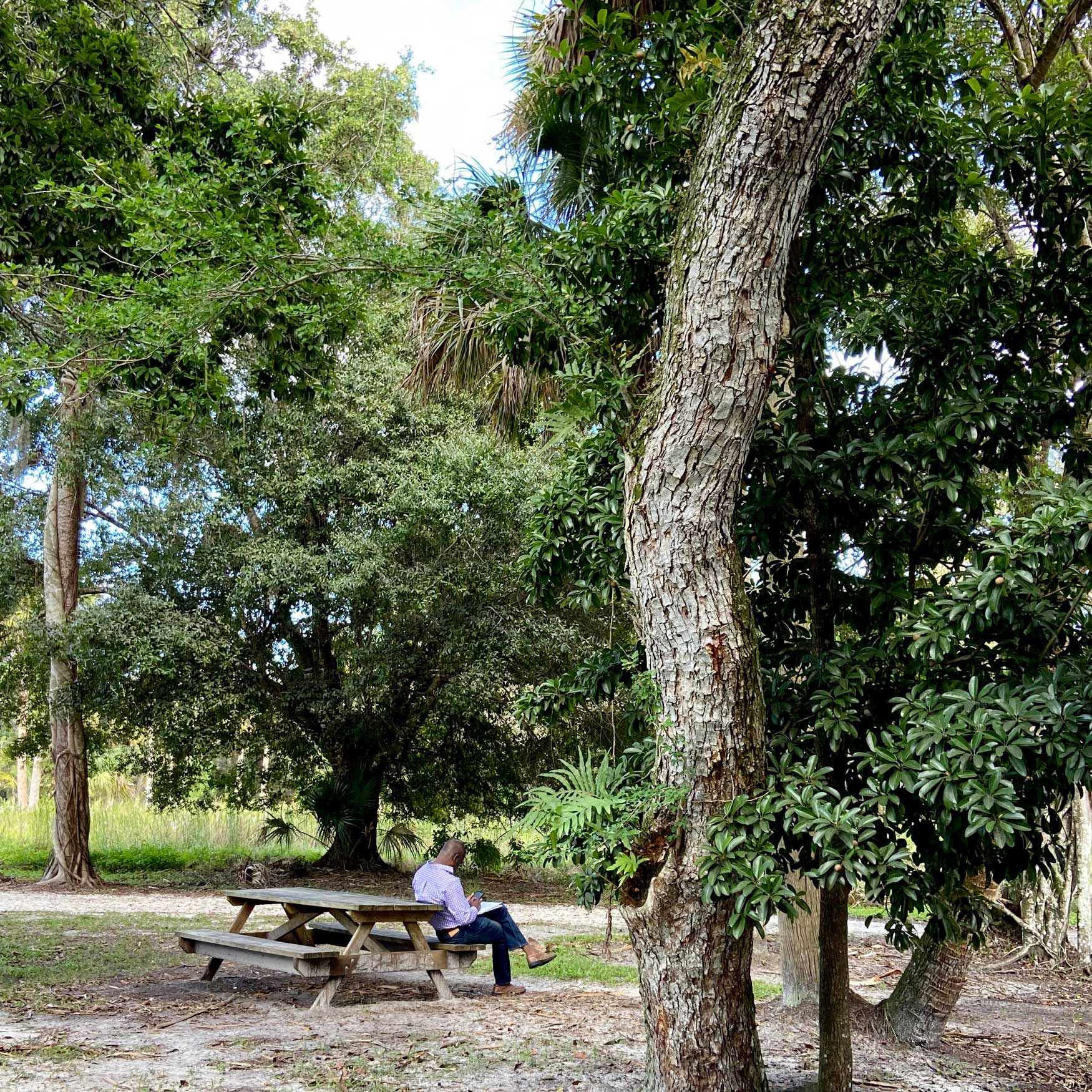
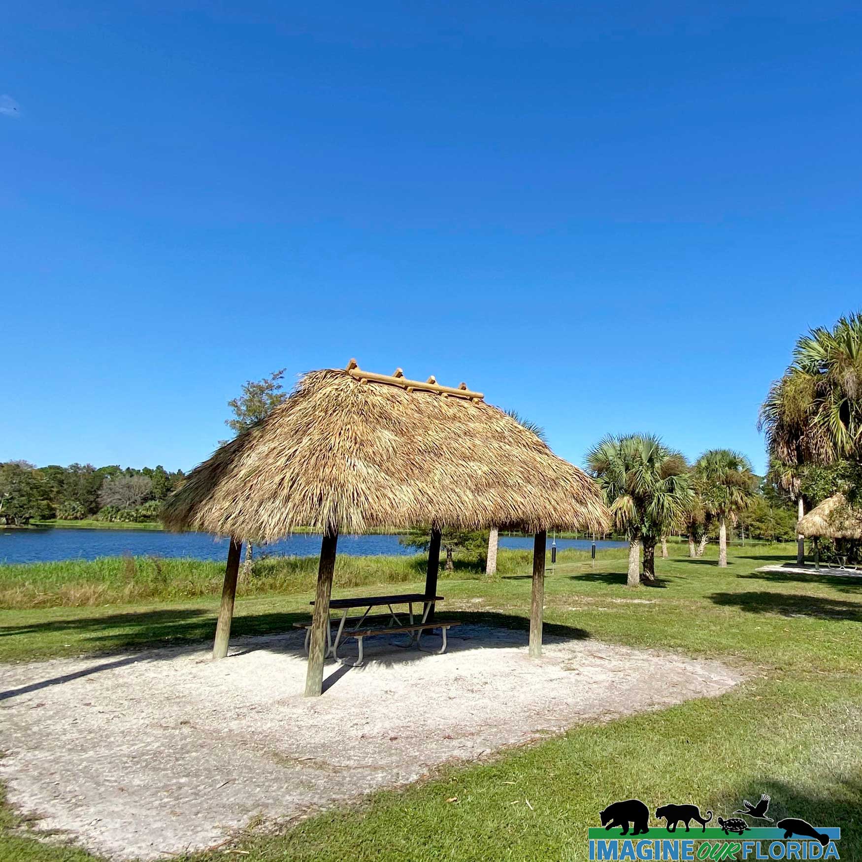
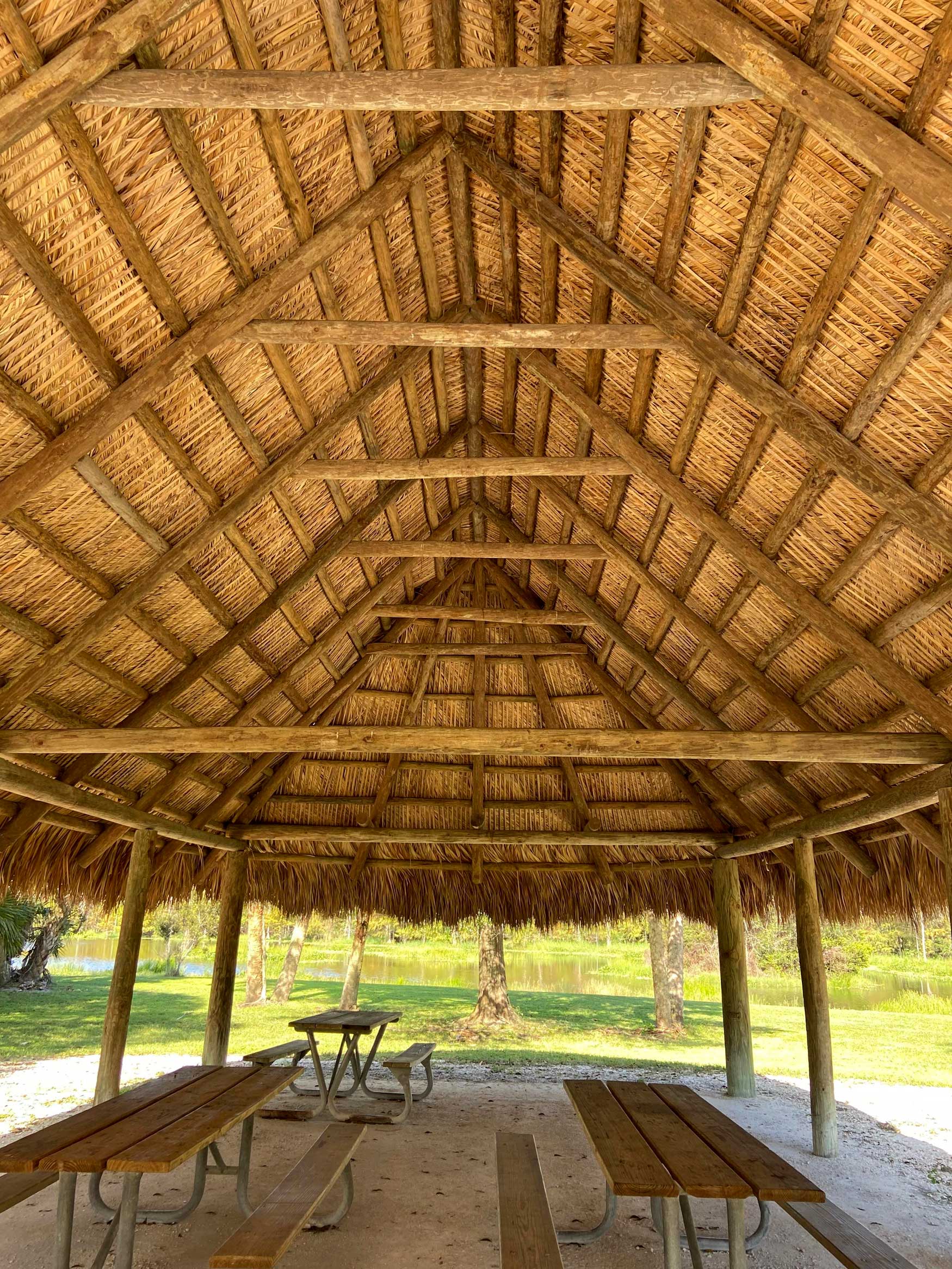
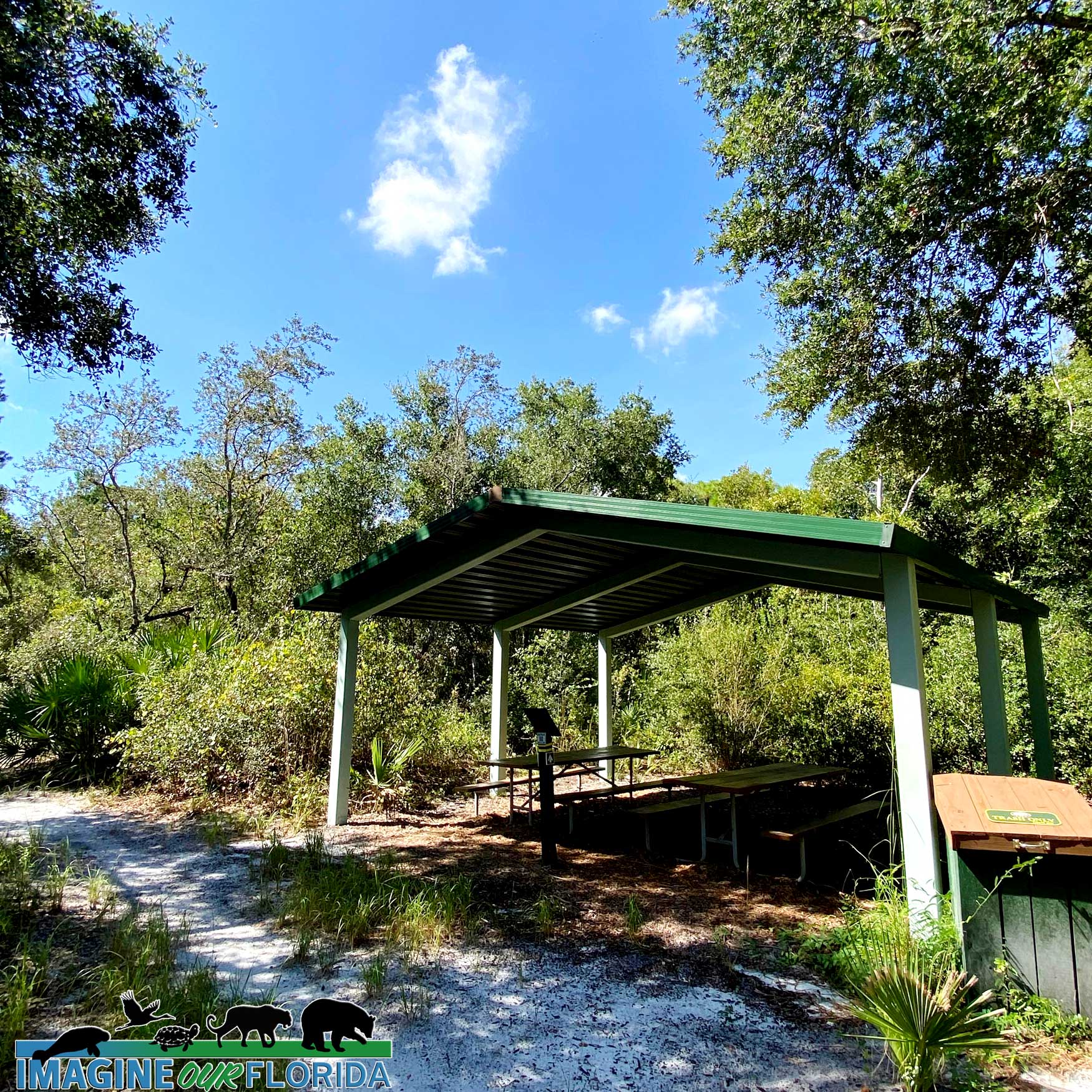
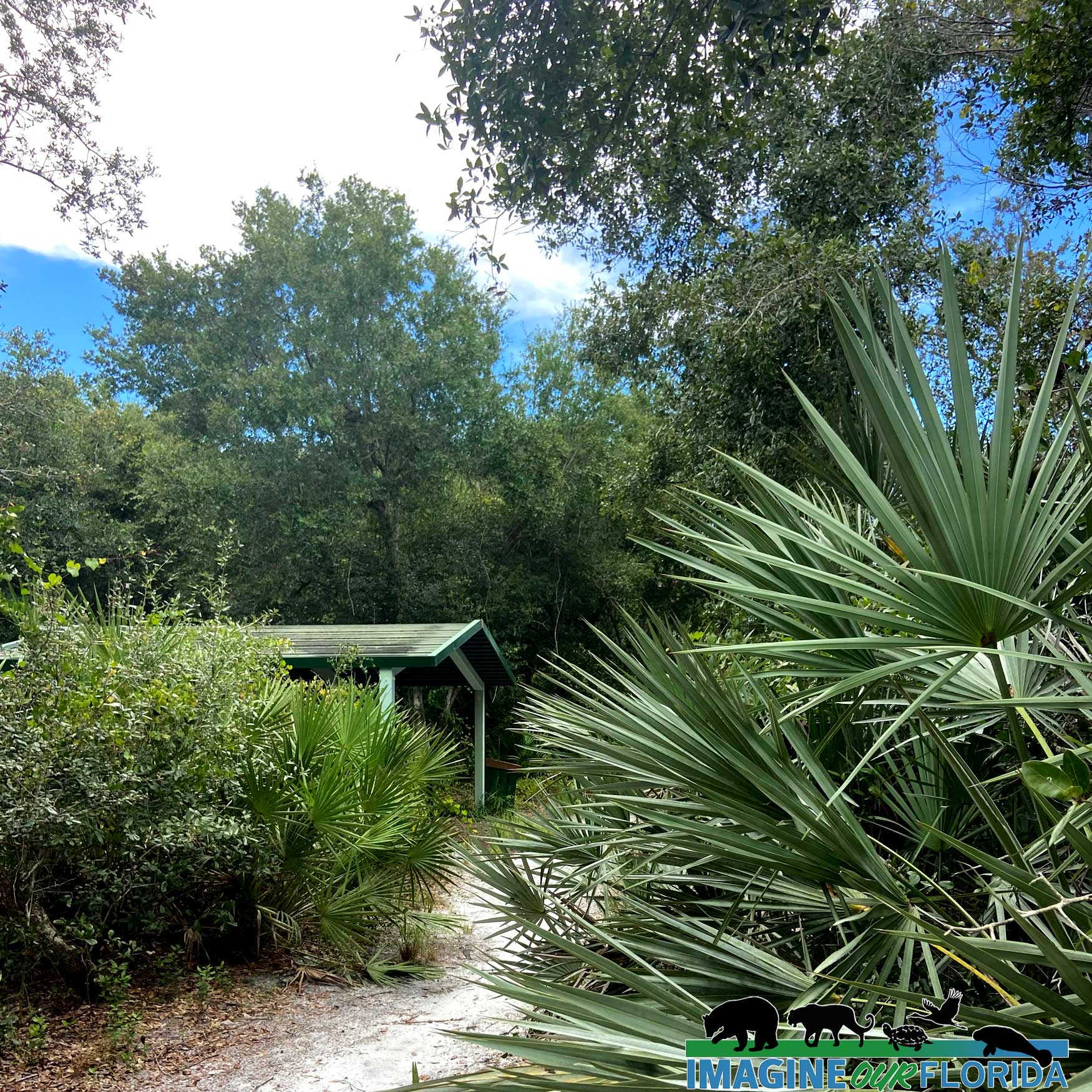
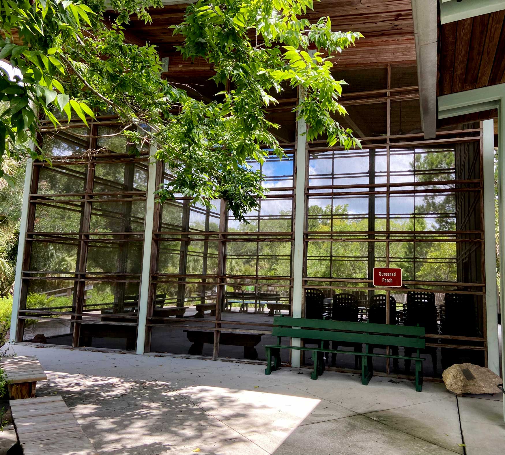
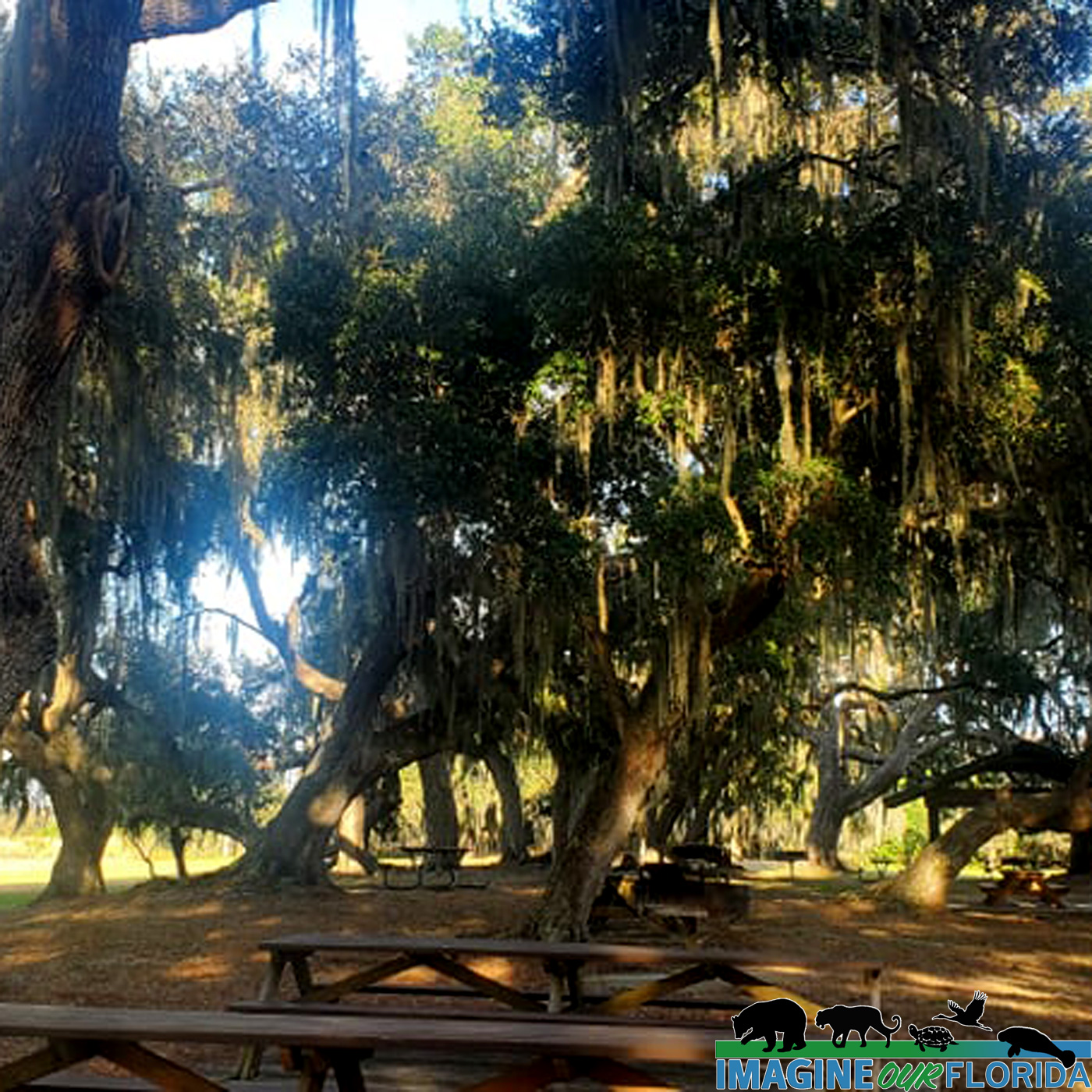
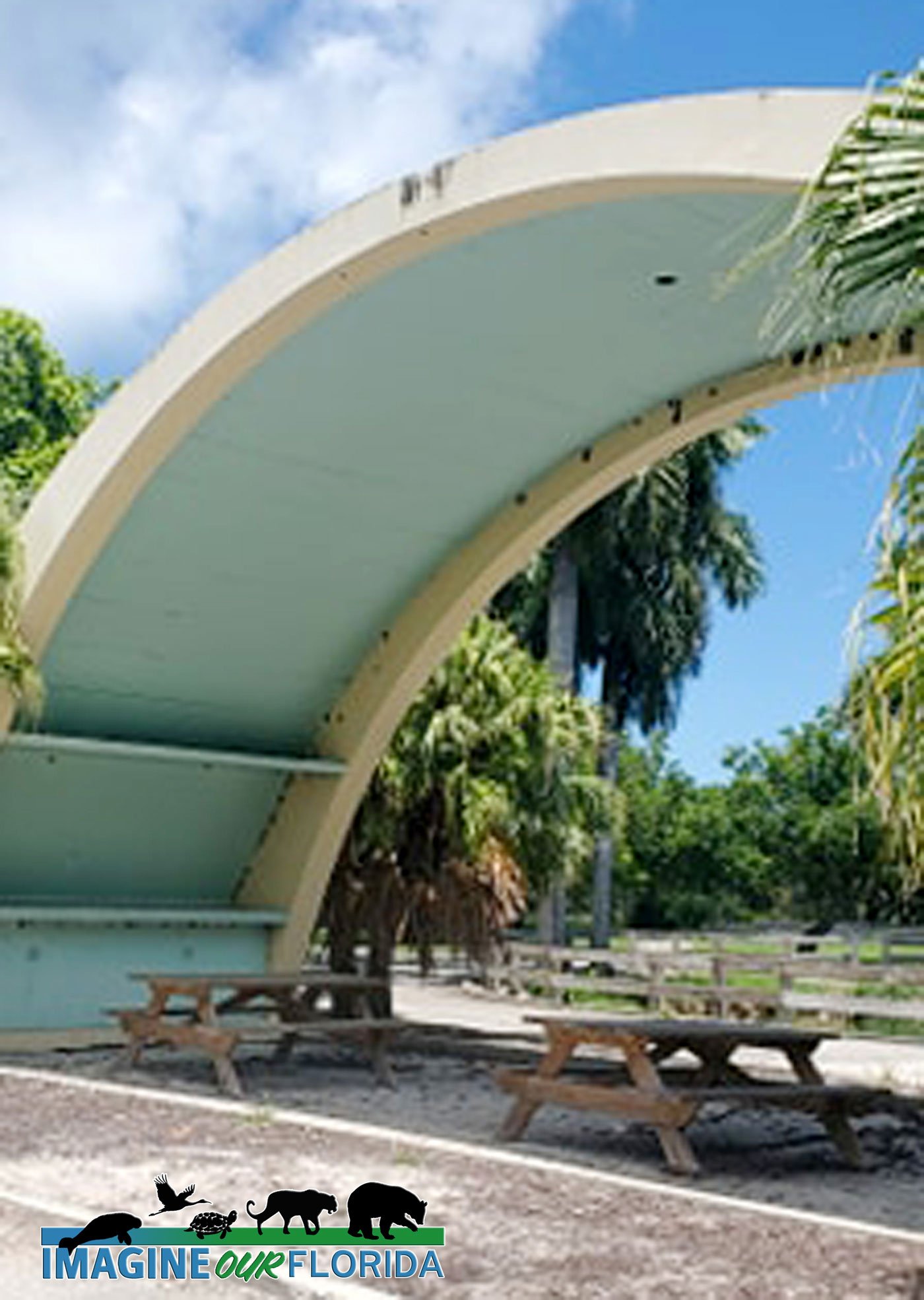
Reserve the picnic pavilion for your special events.
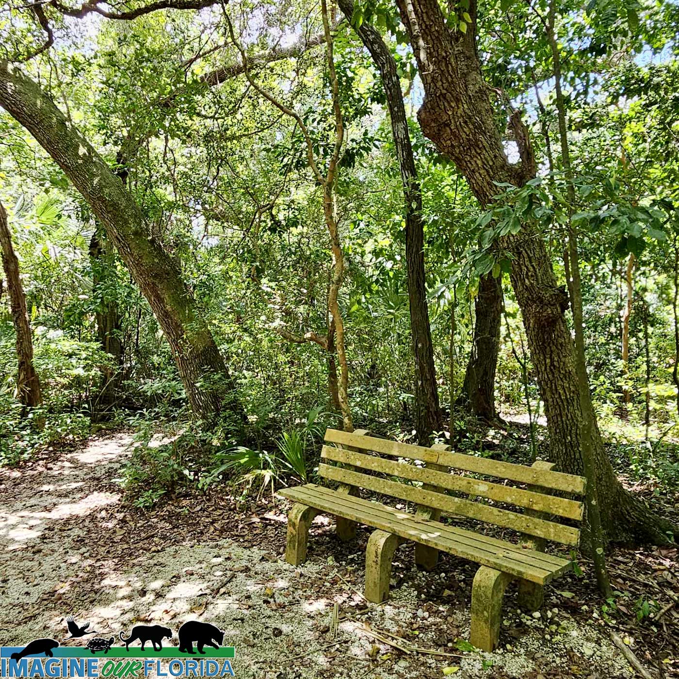
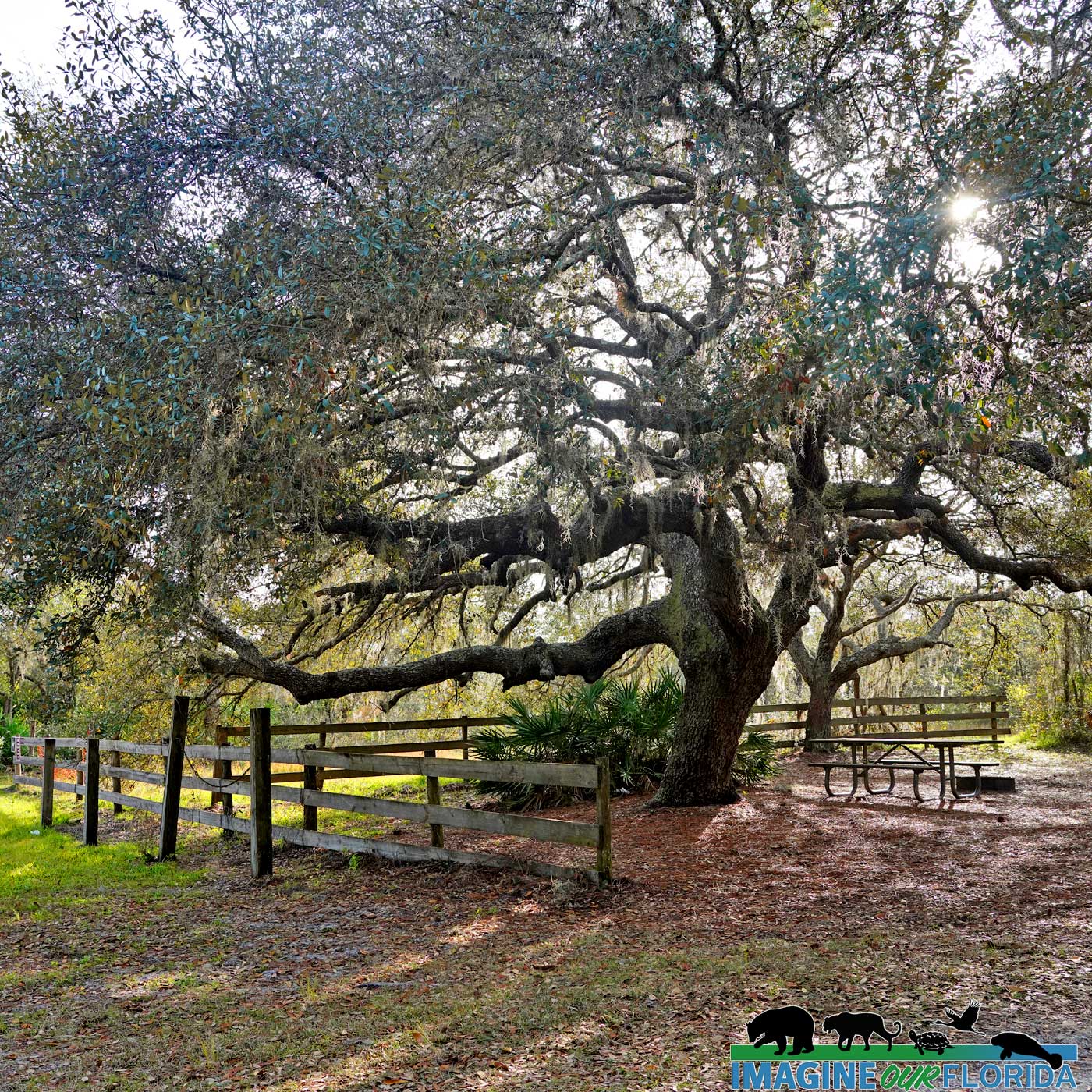
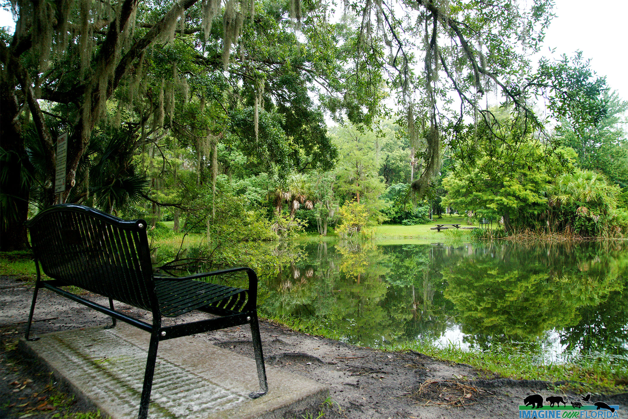
Enjoy your lunch at a picnic table. Your leashed pets are welcome.
Whether for a day or a week, there is plenty to explore and discover at the Little Big Econ State Forest.
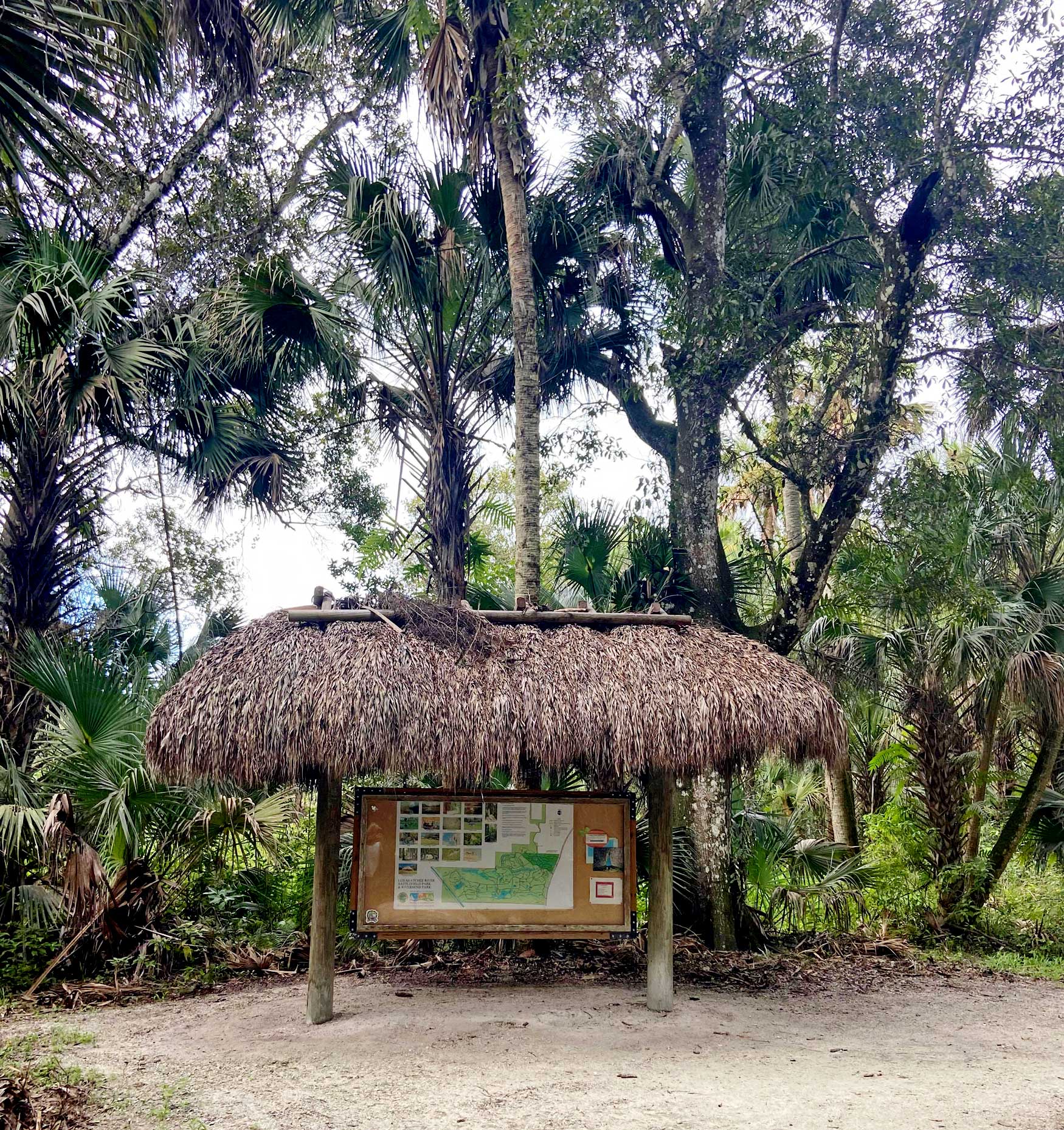
For trail maps and more information:
https://www.fdacs.gov/…/State-…/Little-Big-Econ-State-Forest
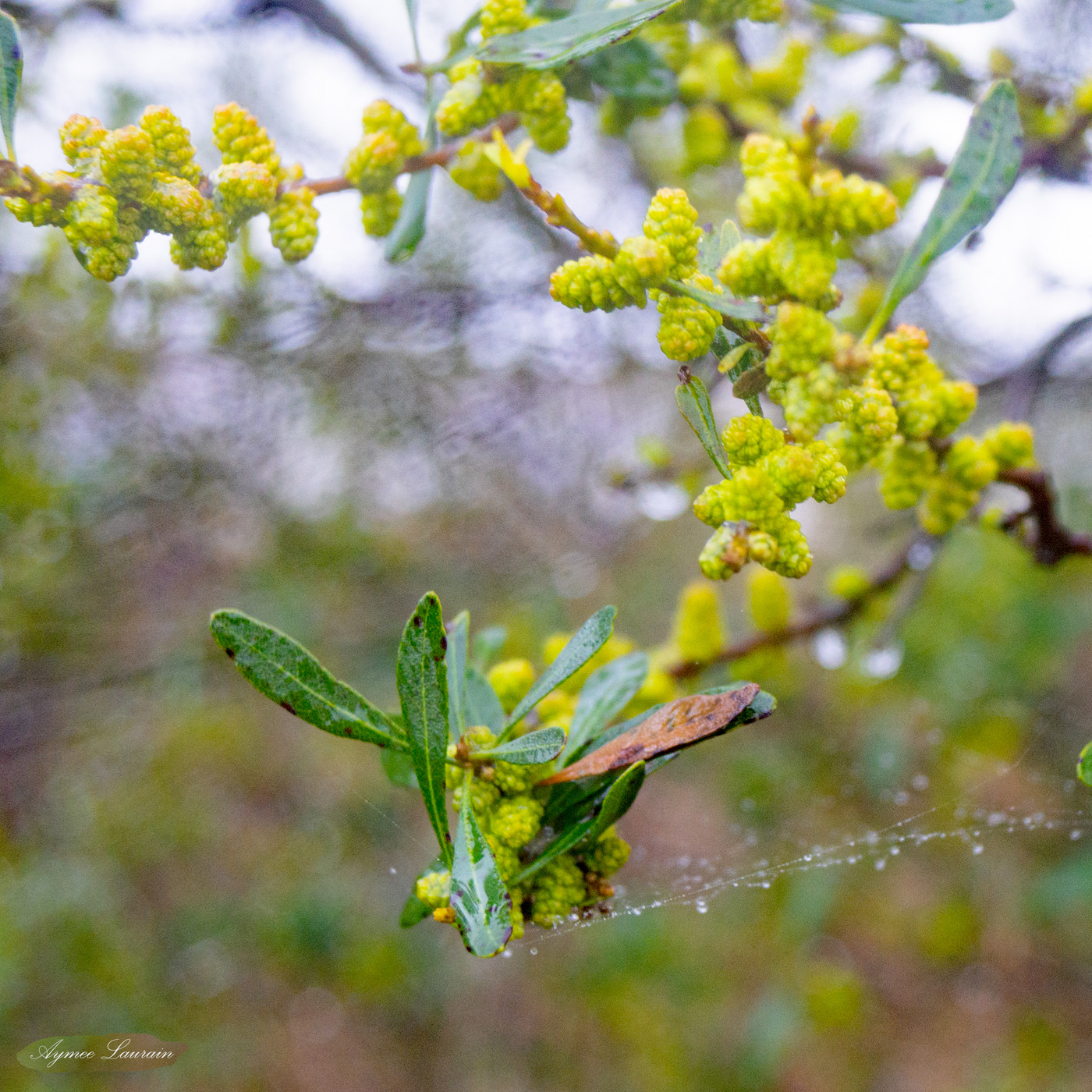
Photo credit: Christian Kon


 wa
wa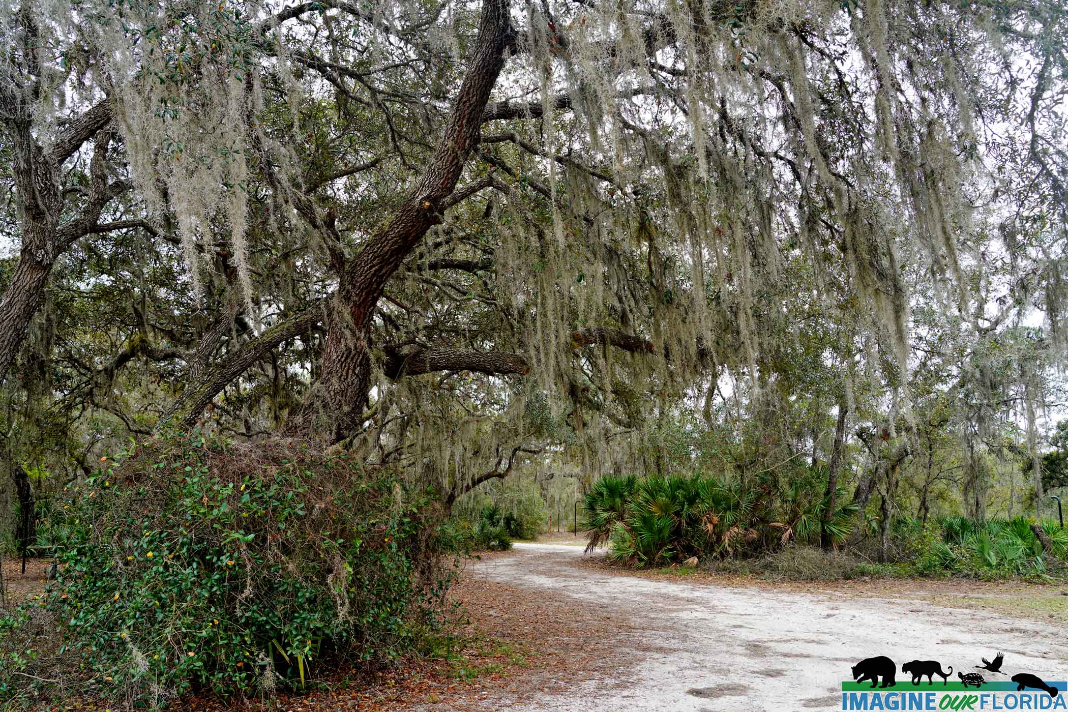


 ted
ted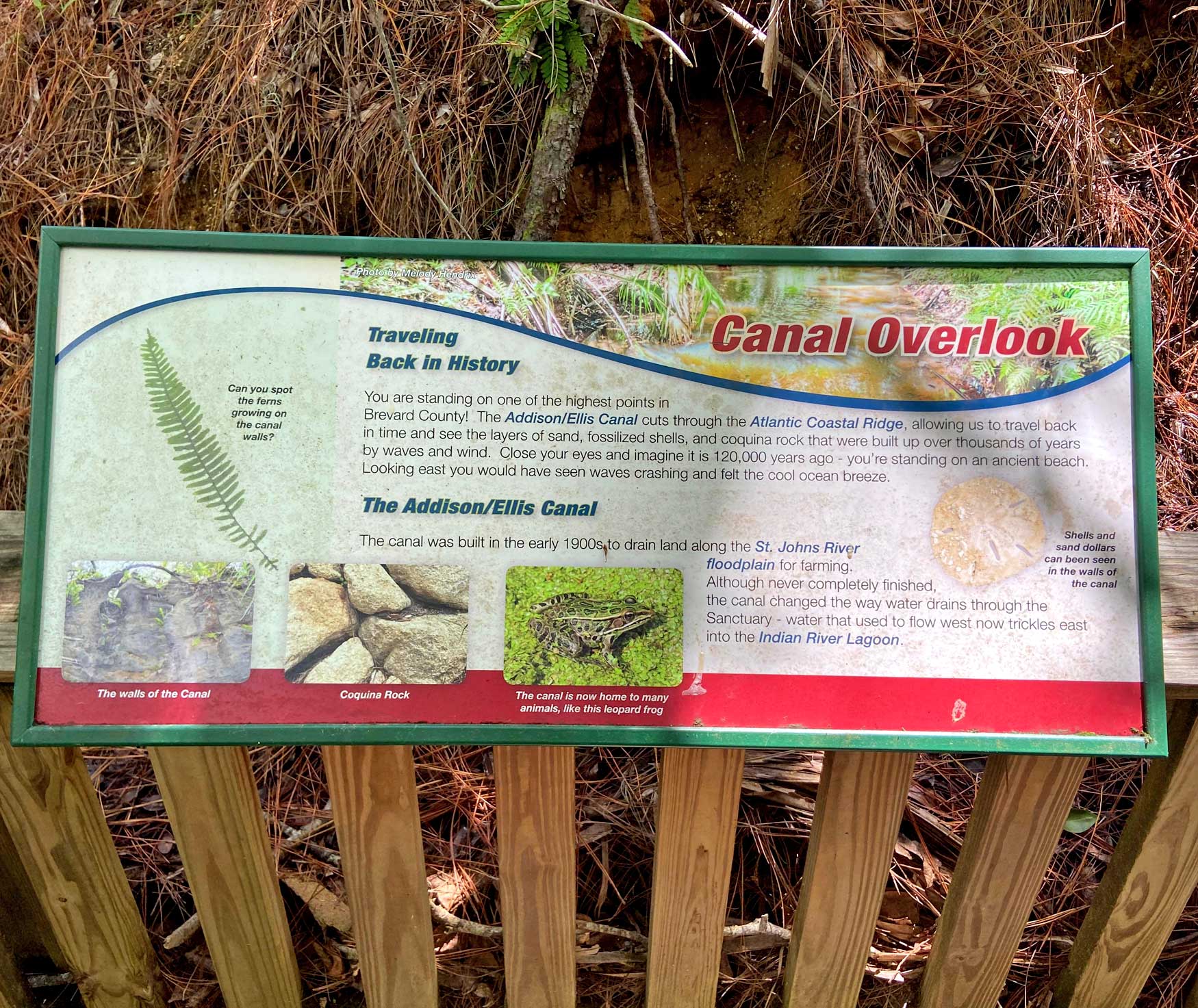


 iof, imagineourflorida,


 onia
onia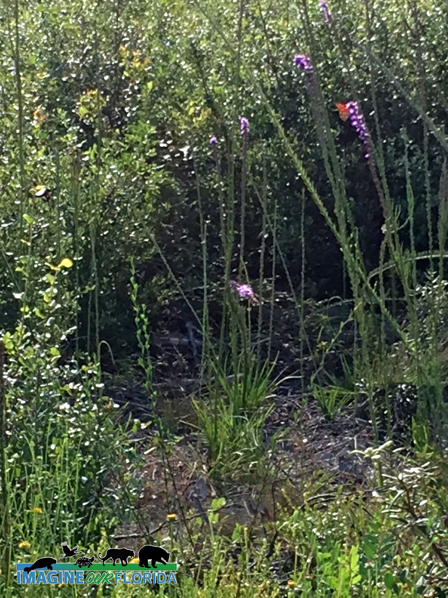
Recent Comments