walkingtrails

McCarty Ranch Preserve

The McCarty Ranch Preserve, or Port St. Lucie’s McCarty Ranch Preserve, is a 3,100-acre preserve sitting squarely around Lake John and the smaller bodies of water: Lake Dan and Lake Brian. Located in Port St. Lucie, the ranch features 13 rustic campsites with modern amenities such as restrooms, showers, and free wifi, as well as 6 RV campsites, a boat/canoe launch, fishing, trails, and an 18-hole disc golf course, all of which are pet-friendly. The wide range of trails, designed for everything from horses to bikes, to the classic walking stick, is the real draw of McCarthy Ranch Preserve.
There are two hikeable nature trails located near the entrance and campgrounds. The Gopher Tortoise Trail is the longest at about 16 miles and is split evenly by the Palmetto Trail which is 1 mile long. On these trails, you will likely encounter abundant wild flora and fauna, such as bats, alligators, and a variety of predatory birds like the beloved osprey. The local flora resembles old Florida pinelands, which host slash pines, milkweed (a Monarch host plant!), and mulberry.
The McCarty Ranch Preserve can trace its roots to the influential McCarty Family and its patriarch, Charles Tobin McCarty, who used the land for cattle and pineapple farming in the 1880s. CT (Charles Tobin) McCarty’s grandson, Dan, became the state’s 31st Governor in 1953 while his son John managed the ranch. The ranch continued until 2012 when it was purchased and incorporated into city limits for the purpose of storing water and creating a recreational area for the community.
If you are seeking the perfect trailhead on foot or horseback, the McCarty Ranch Preserve is the place to go for your family’s (and pets!) fishing, canoeing, and hiking needs. For more information please go to the https://www.cityofpsl.com/…/mccarty-ranch-preserve…
Author: IOF Volunteer Sarina Pennington
Photo Credit: Courtney Smith
Read more

Spruce Bluff Preserve

Spruce Bluff Preserve
Locating in Port St. Lucie on the eastern side of the St. Lucie River, The Spruce Bluff Preserve is one of St Lucie County’s most popular parks. It is home to myriad plant and animal species, making it a popular spot for nature enthusiasts and bird watchers. This 97-acre site has two distinct hiking trails and what makes this preserve so special are the two self-guided, interpretive trails that teach us about how the Ais tribe and a pioneer settlement previously occupied the land.
The north loop trail takes you to the site of the 1891 pioneer settlement and cemetery along the banks of the St. Lucie River. Created after the Second Seminole War, little remains but a cemetery marker. This trail takes you through a beautiful Sand Pine Forest. While walking, keep more than your eyes and ears open, for you don’t want to miss the smells of the fresh pine and wild rosemary that can be found in large patches of the main trail on your way to the pioneer cemetery. Watch out for the random prickly pear cactus, and maybe you will be lucky enough to spot a land crab along the trail.
The south trail is found across the street from the parking area and rakes you to one of the largest AIS Indian mounds in South Florida that dates back to pre-ceramic time! This trail can be tricky as it goes into wetter terrain. A short boardwalk is surrounded by saltbush and willow. Keep an eye and ear for the multitude of songbirds. As you wander deeper into this “urban wilderness, ” remember the ground might be wet and muddy in places. There are two more boardwalks/bridges that take you over wetland lakes. This is a trail that you really should keep an eye on the plants as well. It is easy to overlook things like the patches of sundews on the side of the trail, patches of lichens, and wild orchids.
County officials ask the public not to climb the mound and only use the trail around it. “The problem is, every time you go up on it, you erode it,” Thompson said. “You cause the sand to slide down.”
Both trails are easy to walk, especially on the north side. It is simply natural Florida at its best. With its mixture of upland and wetlands, including large bodies of water with bridges over them, we can’t see the land as it used to be when the Ais and pioneer people walked there. This site is a place that takes you back to a reminder of what the wilderness must have been like for the early settlers.
“It’s actually my favorite site because it’s been so touched by people and abandoned by people at the same time,” Thompson said. “It’s a vicious cycle of snapshots of who used to be there.” Amanda Thompson is the senior lands stewardship and outreach coordinator for the St. Lucie County Environmental Resources Department.
Amenities:
Hiking Trails
Boardwalks/ Bridges
Wildlife Viewing
Native American Midden
Historic Interests
Information Kiosk
Parking Area
Interpretive Signage
Observation Areas
Canoe Access
Address: 611 SE Dar Lane, Port St. Lucie, 34984
**Also accessible by canoe from the North Fork of the St. Lucie River.
Author and Photo Credit: Bobby Putnam
Read more

McKee Botanical Gardens

McKee Botanical Gardens, located in Vero Beach, has something for everyone! This 18-acre wild place of natural beauty offers classes, programs, workshops, and special events. The gardens have always operated sustainably, thus environmental stewardship is taught and encouraged through the programs offered.
Saunter along the paths and discover the diverse and stunning botanical collection. Children will love exploring the Children’s Garden. Service Animals are welcome. The paths accommodate wheelchairs and walkers. Be sure to stop by the Garden Cafe and Gift Shop.
McKee Botanical Gardens is recognized by the Garden Conservancy as a preservation project of national significance and is listed on the National Register of Historic Places.
Learn more about McKee Botanical Gardens here: https://mckeegarden.org/
Photo Credit: David Gale
Read more

Cradle Creek Preserve

Located in Jacksonville Beach, Cradle Creek Preserve is a 45-acre reserve in northeast Florida. Containing saltwater marshes, maritime forests, and bottomland swamps, it is easy to see why this area was selected to conserve against development.
 
Cradle Creek is the last large piece of undeveloped land along the Intercoastal Waterway in Jacksonville Beach. This parcel was set aside to protect the many rare species that depend upon these ecosystems and allow people to experience a relatively untouched piece of natural, coastal Florida.
 
You will find a lovely trail just over half a mile long there. As you casually meander through the bottomland swamp, keep a careful eye out and you may catch a glimpse of a Florida box turtle foraging in the mud for tasty worms or mushrooms. In the summer, lizards’ tails and jack-in-the-pulpit bloom on the forest floor. Ironweeds bloom from the mucky bottom with purple flowers that attract a whole host of pollinators. In the winter months, keep your head up as you look amongst the resurrection ferns coating the oaks for dainty little green blooms of the greenfly orchids. The American Holly boasts big clumps of bright red berries, just the perfect treat for birds such as the grey catbird, bluebirds, and others.
 
You will find yourself in a maritime forest as you continue along the boardwalks and nice, clear trails. These are really unique forests shaped by winds and salt spray. You will notice many of the same species of trees and understory plants you are used to seeing in other parts of Florida. Live oak, longleaf pine, loblolly pine, and palmettos are all common plants here. Maritime forests closer to the dunes will have canopies trimmed short by high winds off the ocean. The maritime forests of Cradle Creek are taller as they occur further from the dunes. These forests provide food and refuge for migrating songbirds as well as bobcats, reptiles, raccoons, and many others.
 
After passing through this forest, you will come to the saltwater marsh. This beautiful, open expanse of grasses and shallow water, dotted with cabbage palms, makes for a lovely overlook. These marshes maintain a high salinity from daily flooding due to high tides. These marshes are some of the most productive ecosystems on earth. The grasses and rushes provide cover for hatching fishes as they avoid predators in the shallows and feed on the abundant life. Herons, spoonbills, and other wading birds also find food here, trolling the muddy shallows for fish, small snakes, and crustaceans. In the mud, you can see footprints of the prior evening’s patrol of raccoons, searching for muscles, fiddler crabs, and other tasty treats.
 
You can access this park by the parking lot, located at the corner of 15th Street South and Fairway Lane in Jacksonville Beach. You can also get there via canoe or kayak by using Cradle Creek, which meets the Intercoastal Waterway at Marker 37. There is a boat landing you can use to then access the trails. So, the next time you’re in Jacksonville and want a glimpse as to what this part of Florida looked like before development, or if you just need a place to go to escape the noise for a moment and connect with nature, stop by Cradle Creek Preserve.
Photo Credit: Andy Waldo
Read more

Lake Apopka

Lake Apopka—-
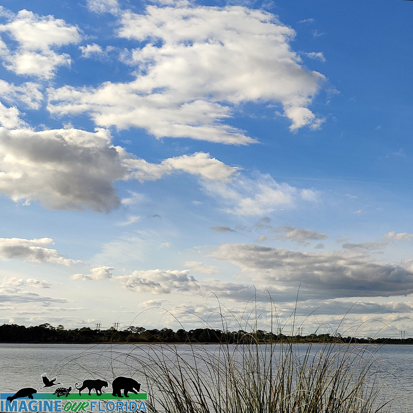
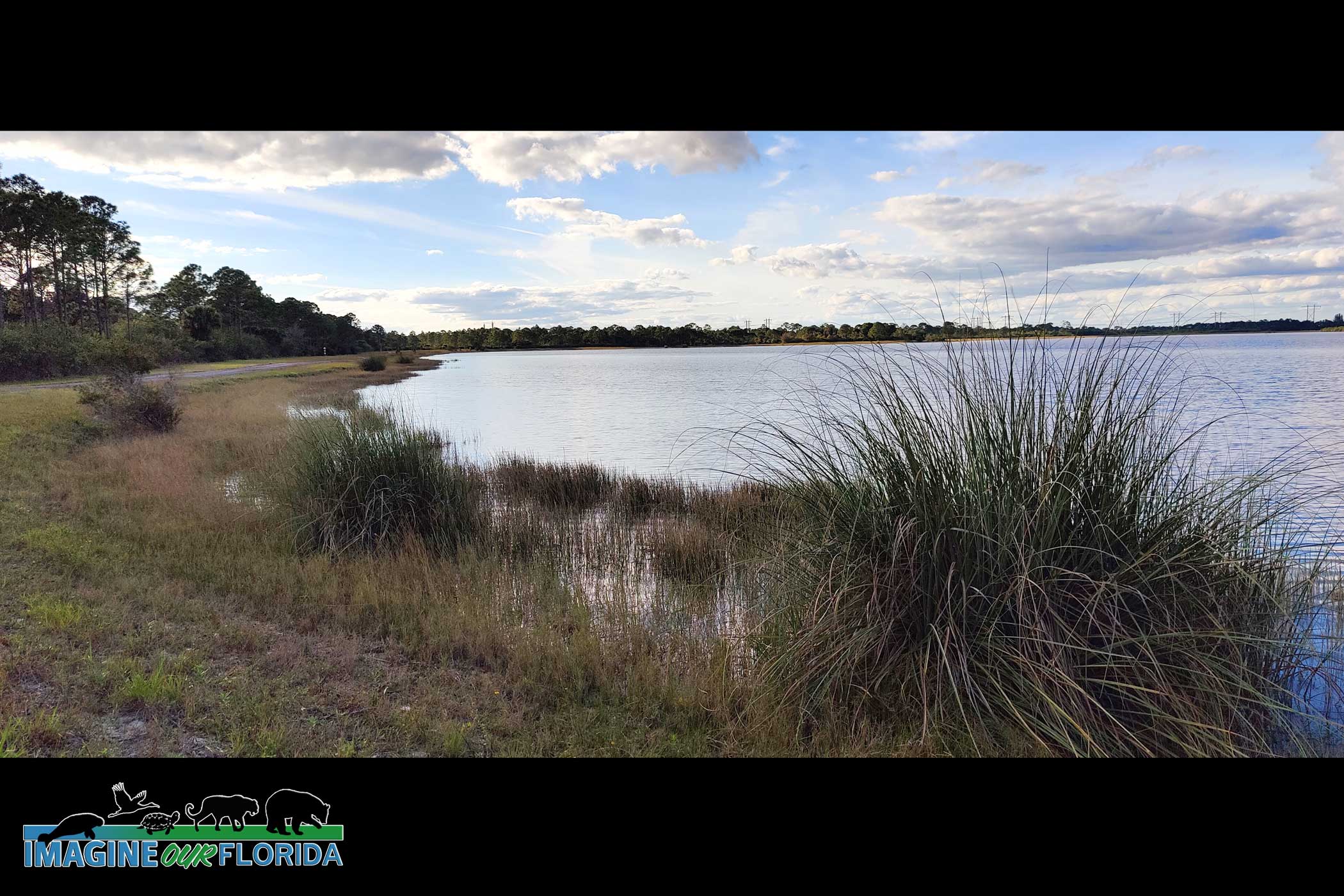
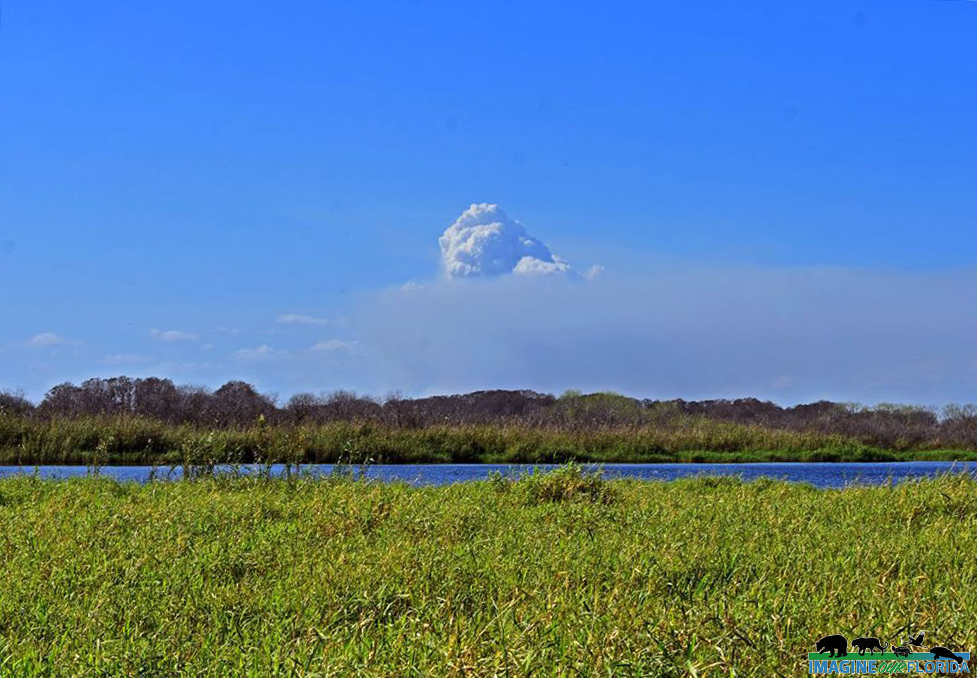
Located in the middle of the state northwest of Orlando, Lake Apopka is the fourth largest lake in the State of Florida. In the 1940s, Lake Apopka was a famous fishing area with more than 15 fishing camps around its shores. The lake was once so clear that one could fish by sight alone. Pitifully, the lake lost its charm and fish population due to the pollution caused by pesticides poured in the lake for 50 years by vegetable farms located along the shore. The pollution of the lake did not only decrease the population of fish but also the number of birds and plants in the area.
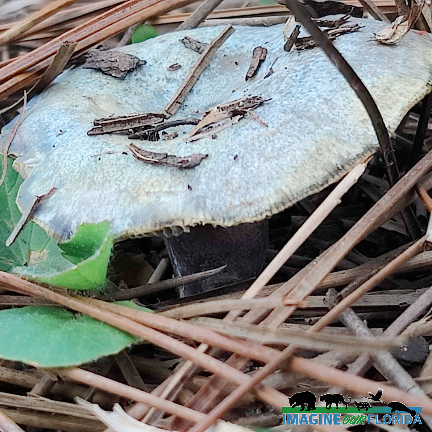
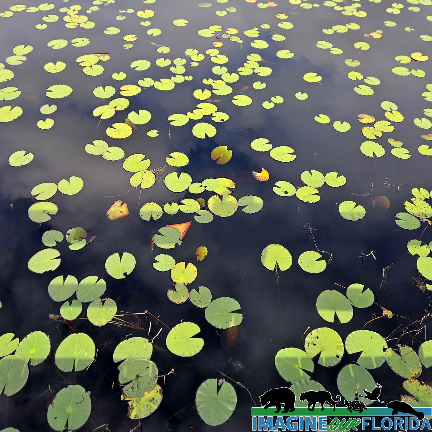
The pesticides poured by farmers into the lake introduced a high amount of phosphorus and nitrogen into the water and soil of Lake Apopka. The phosphorus is particularly polluting because it spawns algae blooms that cover the surface and keeps solar light and nutrients from getting to the bottom of the lake, causing the fish and flora below to die.
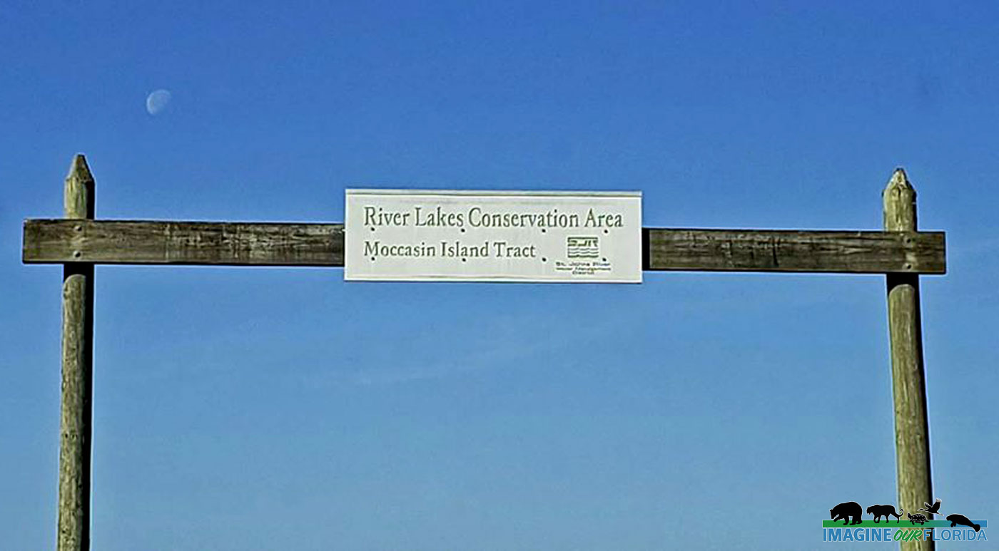
In the late 1900s, the Florida State Government bought the farmlands in an effort to reverse the damages caused to the ecosystem of the lake. Because Lake Apopka flows through the Apopka-Beauclair Canal and into Lakes Beauclair and Dora, the pollution in this lake is not an issue that regards only the Lake Apopka community. Many agencies, including Friends of Lake Apopka St. Johns River Water Management District, have helped restore and protect the habitat around the area.
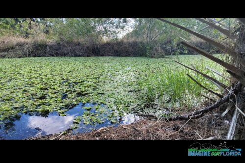
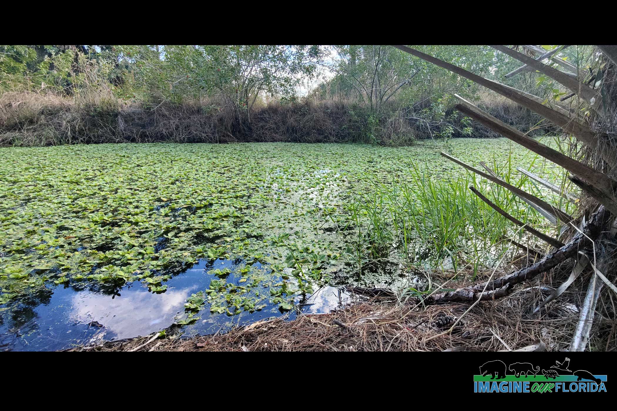
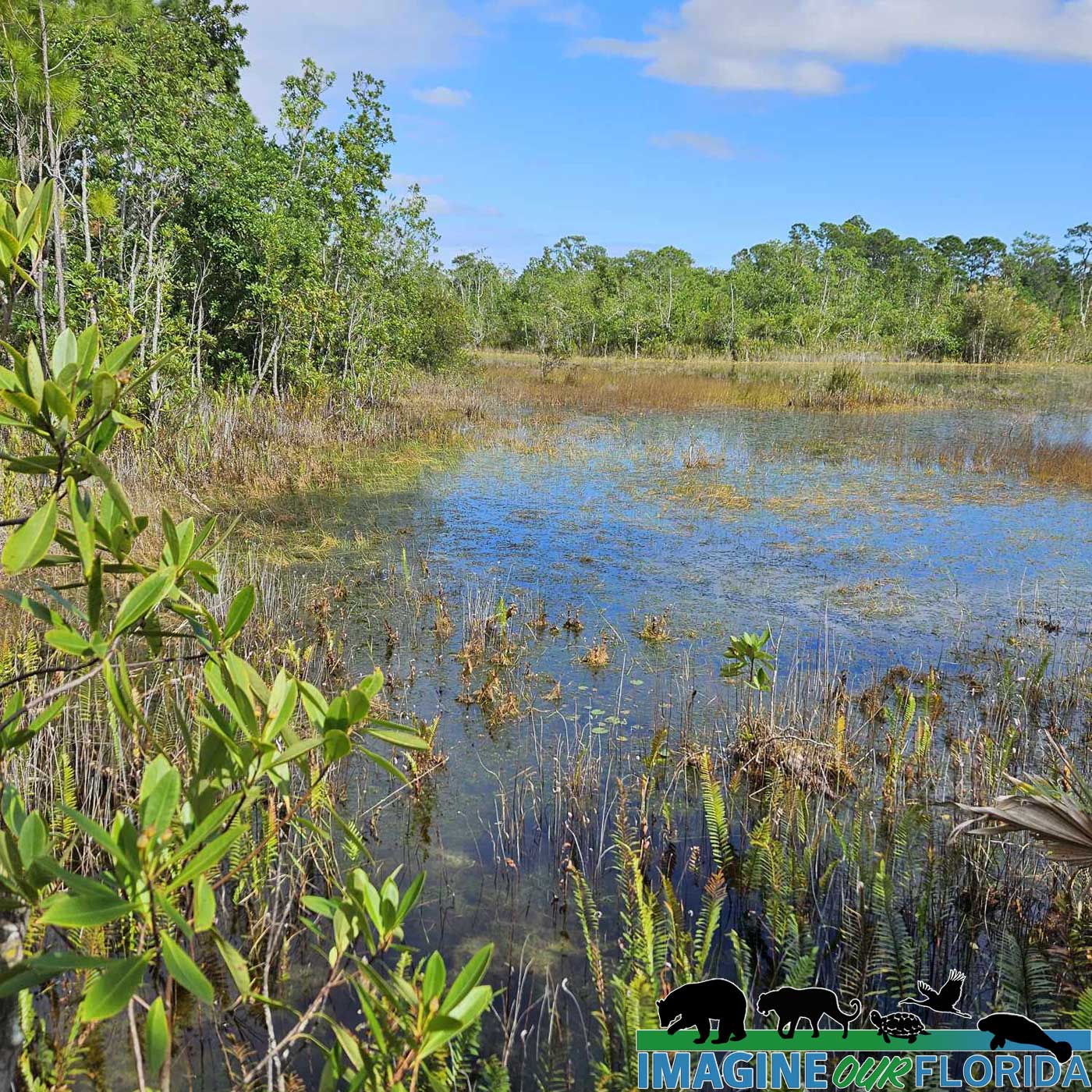
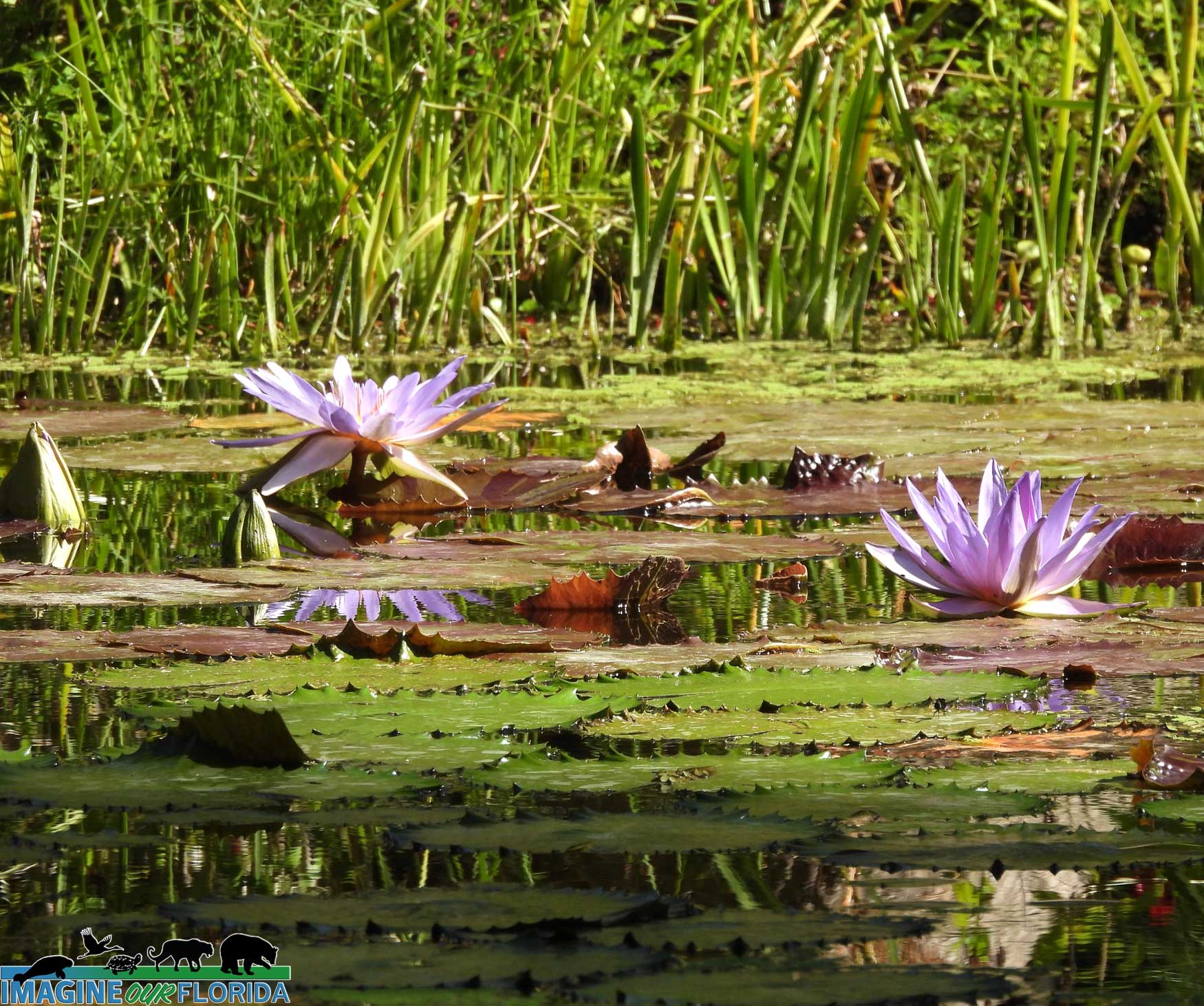
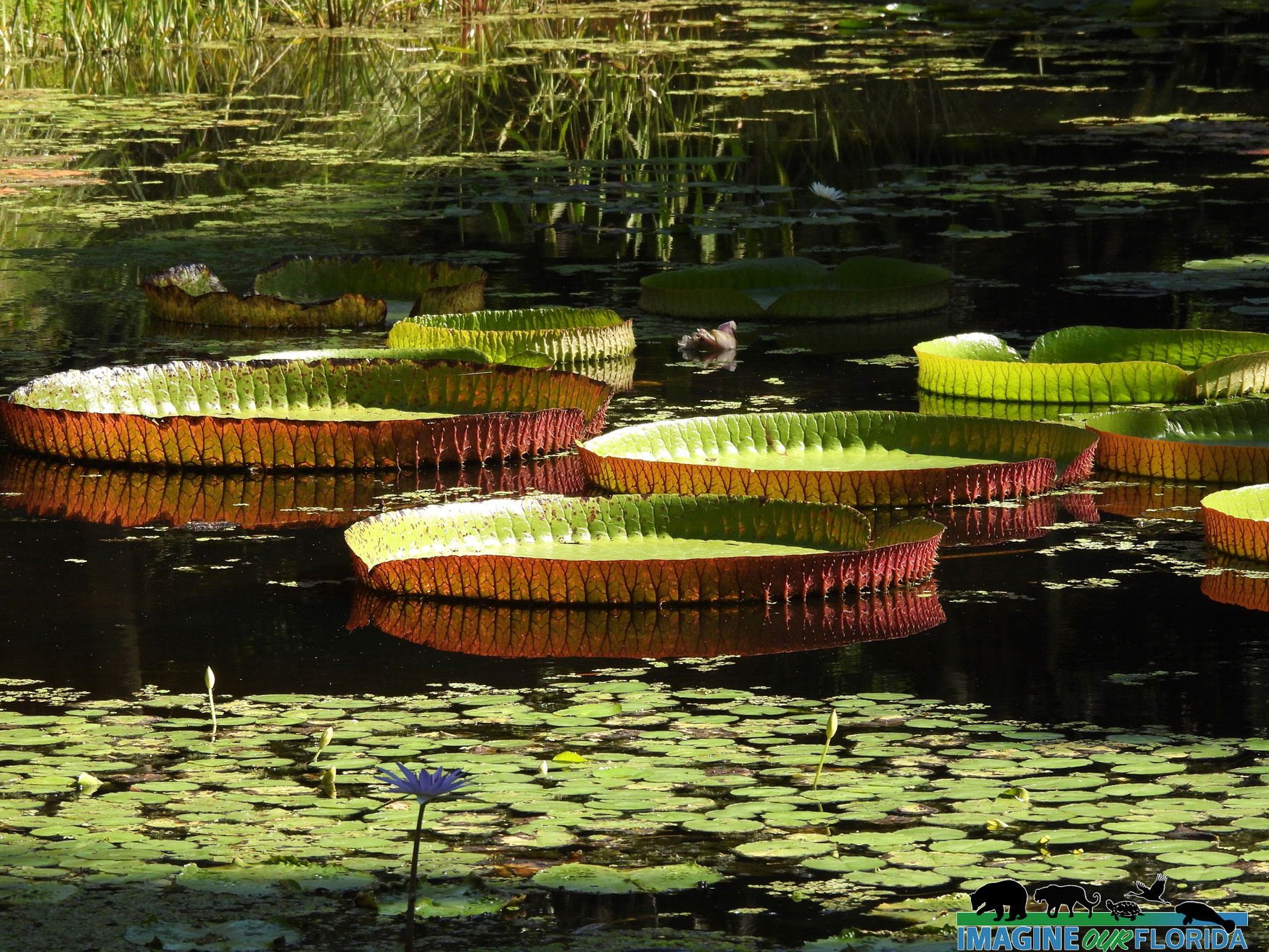
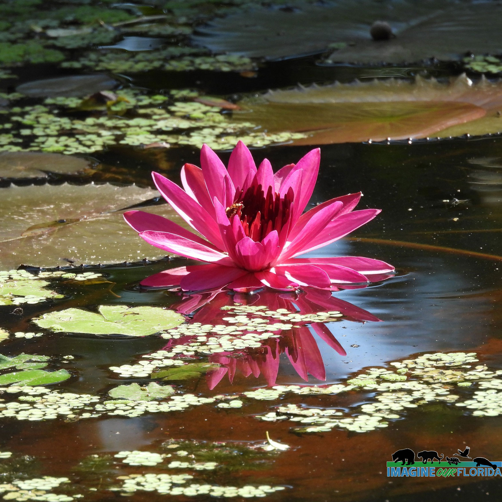
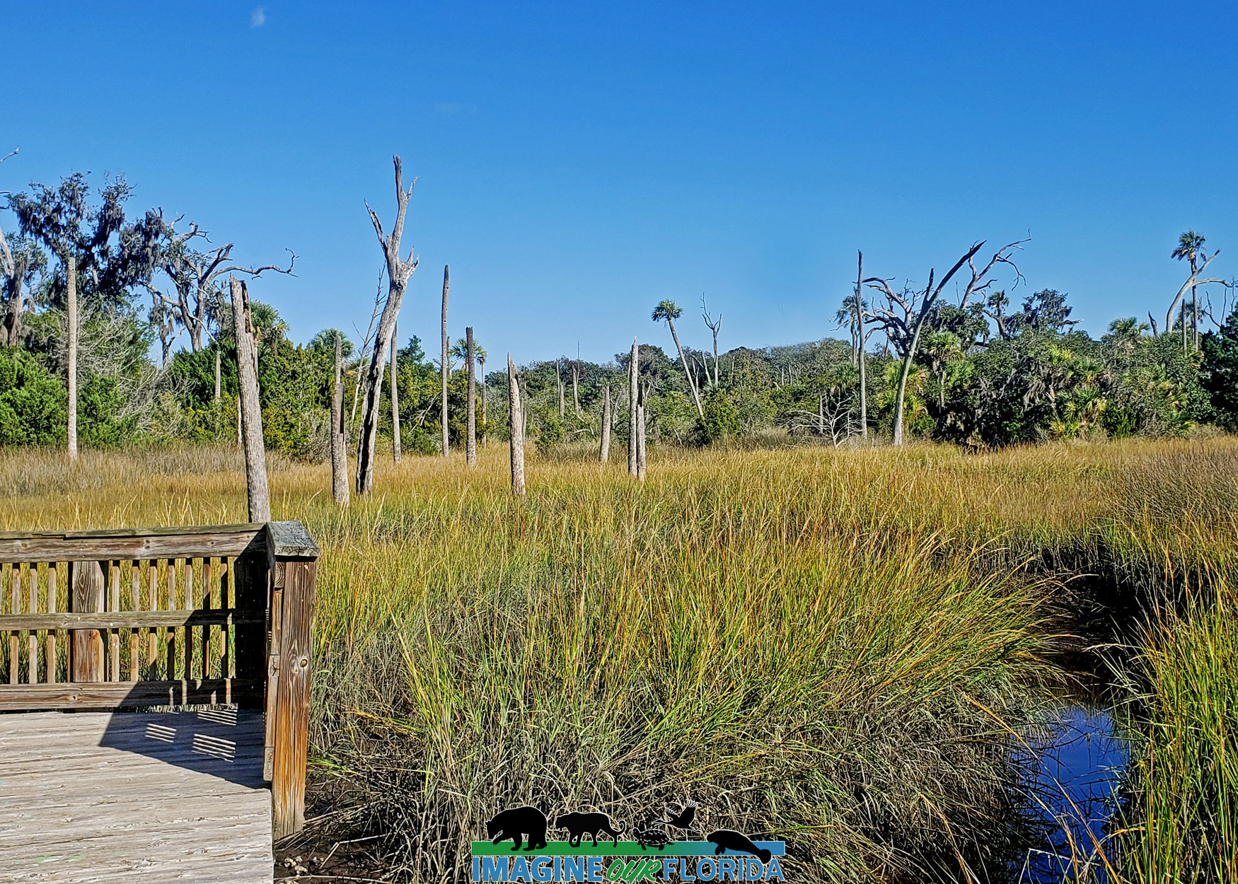
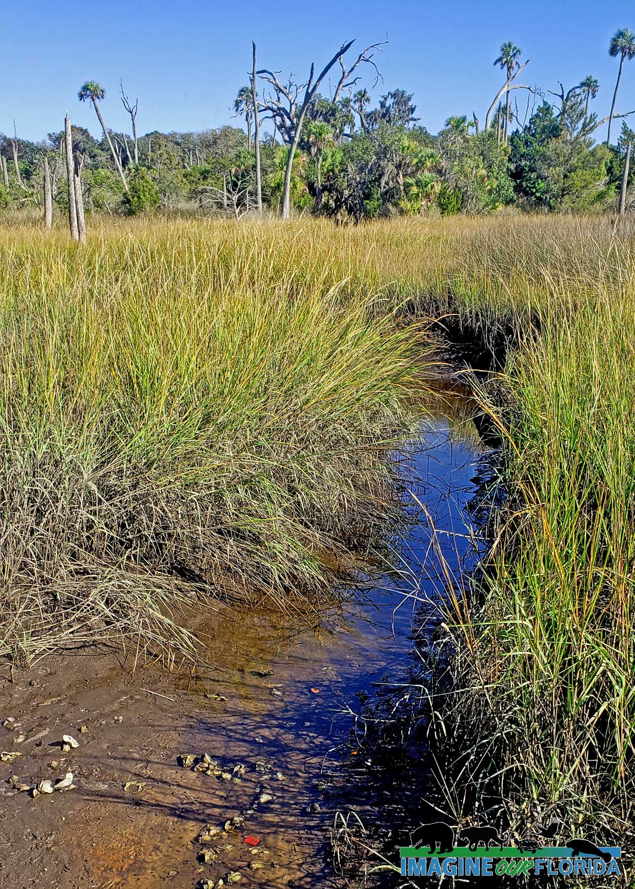
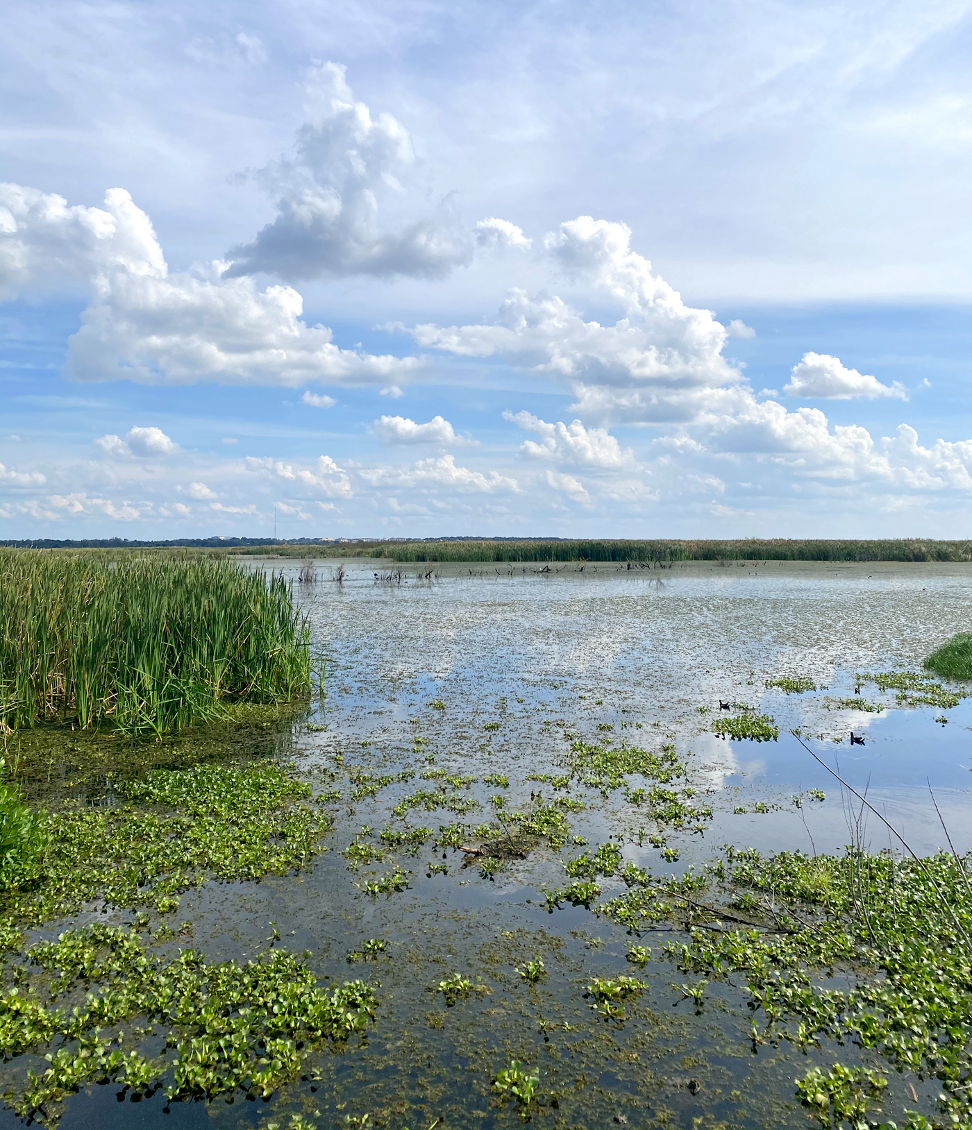
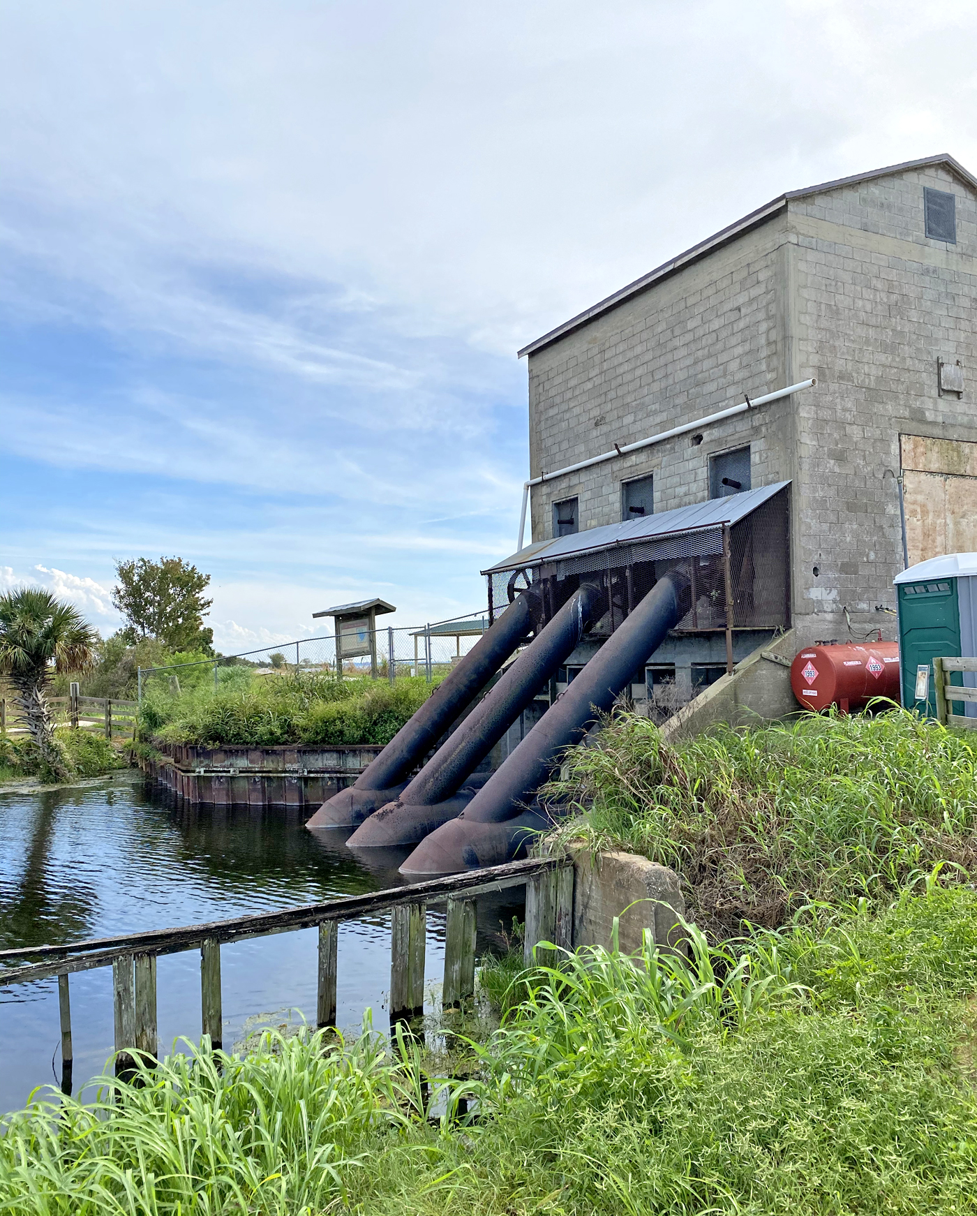
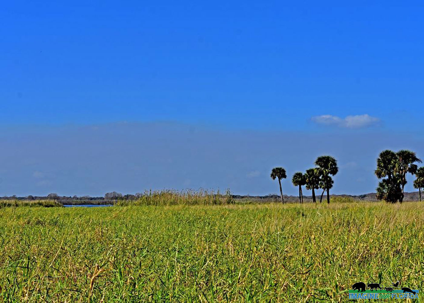
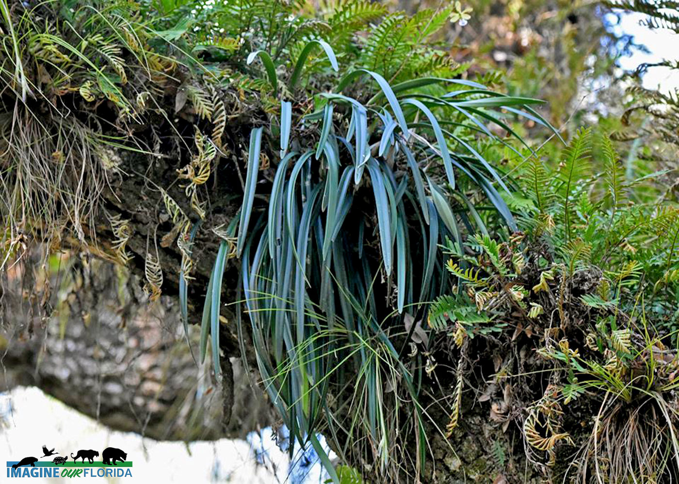
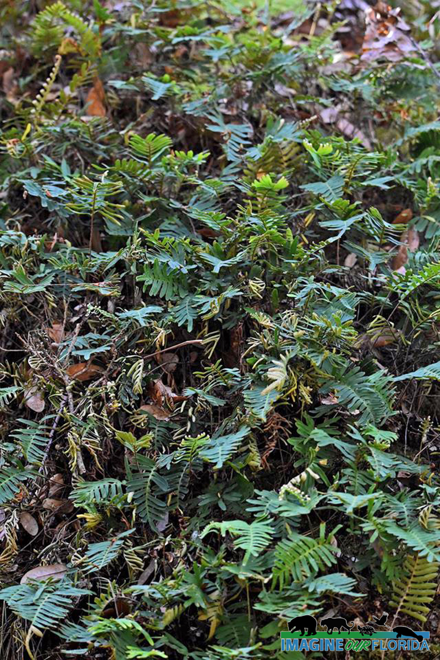
The restoring process began by removing bottom-feeding gizzard shad fish, a type of fish that feeds on phosphorus, and replacing them with 1.5 million bass. If the population of gizzard shad decreases, so does the amount of phosphorus in the water. Thousands of acres on the shore have been turned into natural water filters that allow water to flow in off the lake and come back out cleaner than when it entered. Through the end of 2019, the natural filters, or marsh flow-way, alone have removed 65,174 pounds of phosphorus, 130,617,645 pounds of suspended solids, and 2,312,493 pounds of nitrogen from the lake. The water that flows from the lake to the marsh flow-way is brought back to the lake by pumps. Replanting native wetland species of vegetation in the water along the lake’s shoreline has also helped restore fish and wildlife habitat.
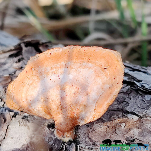
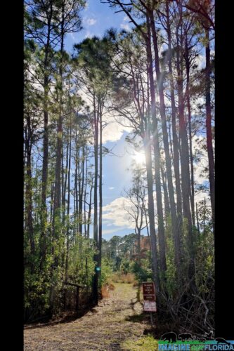
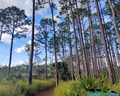
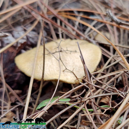
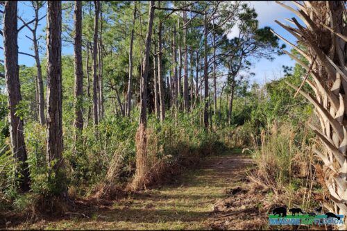
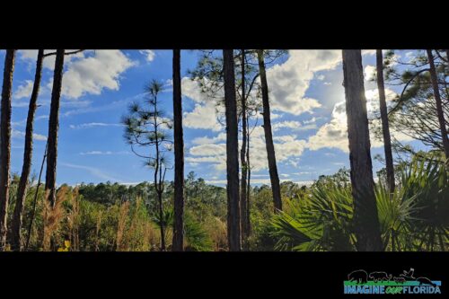
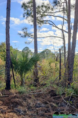
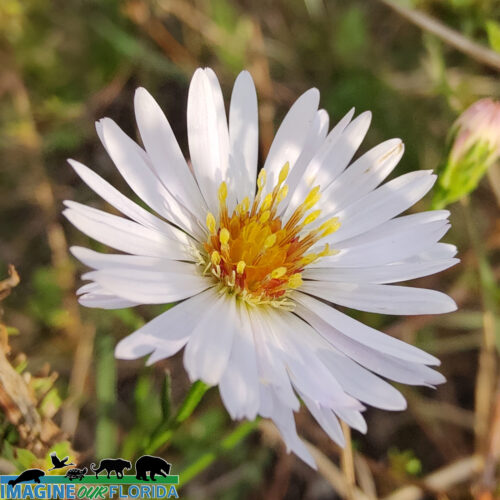
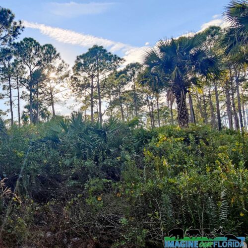
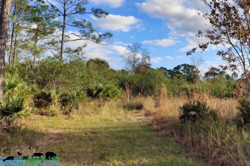
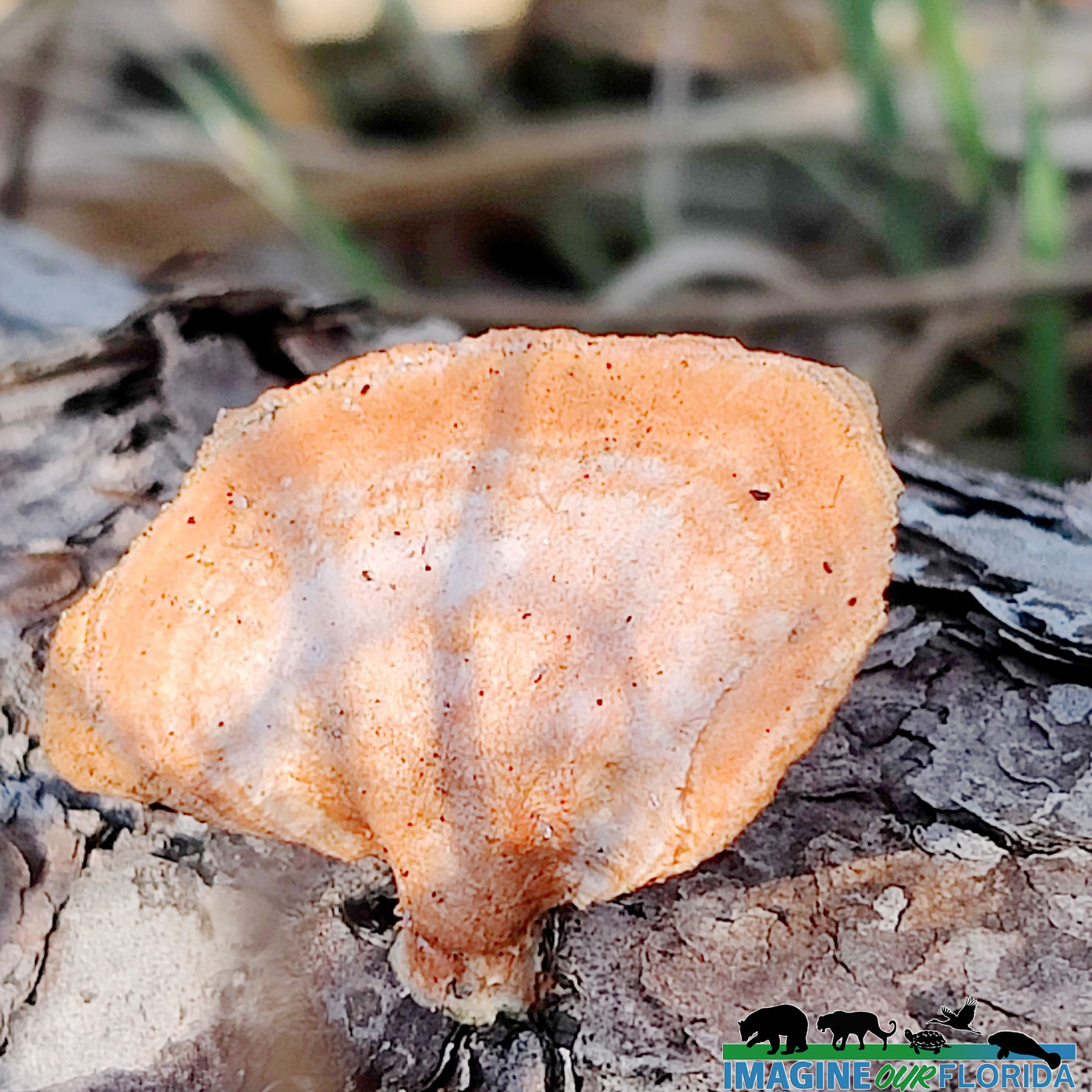
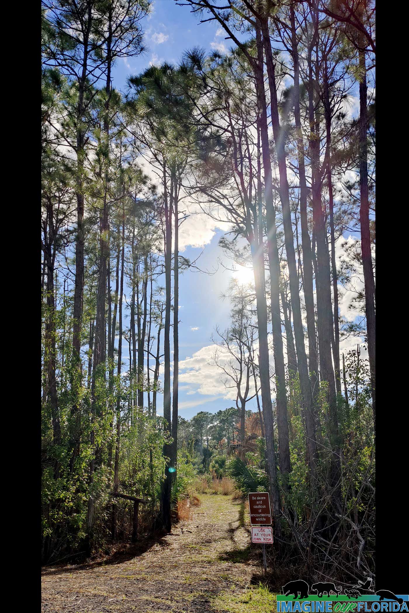
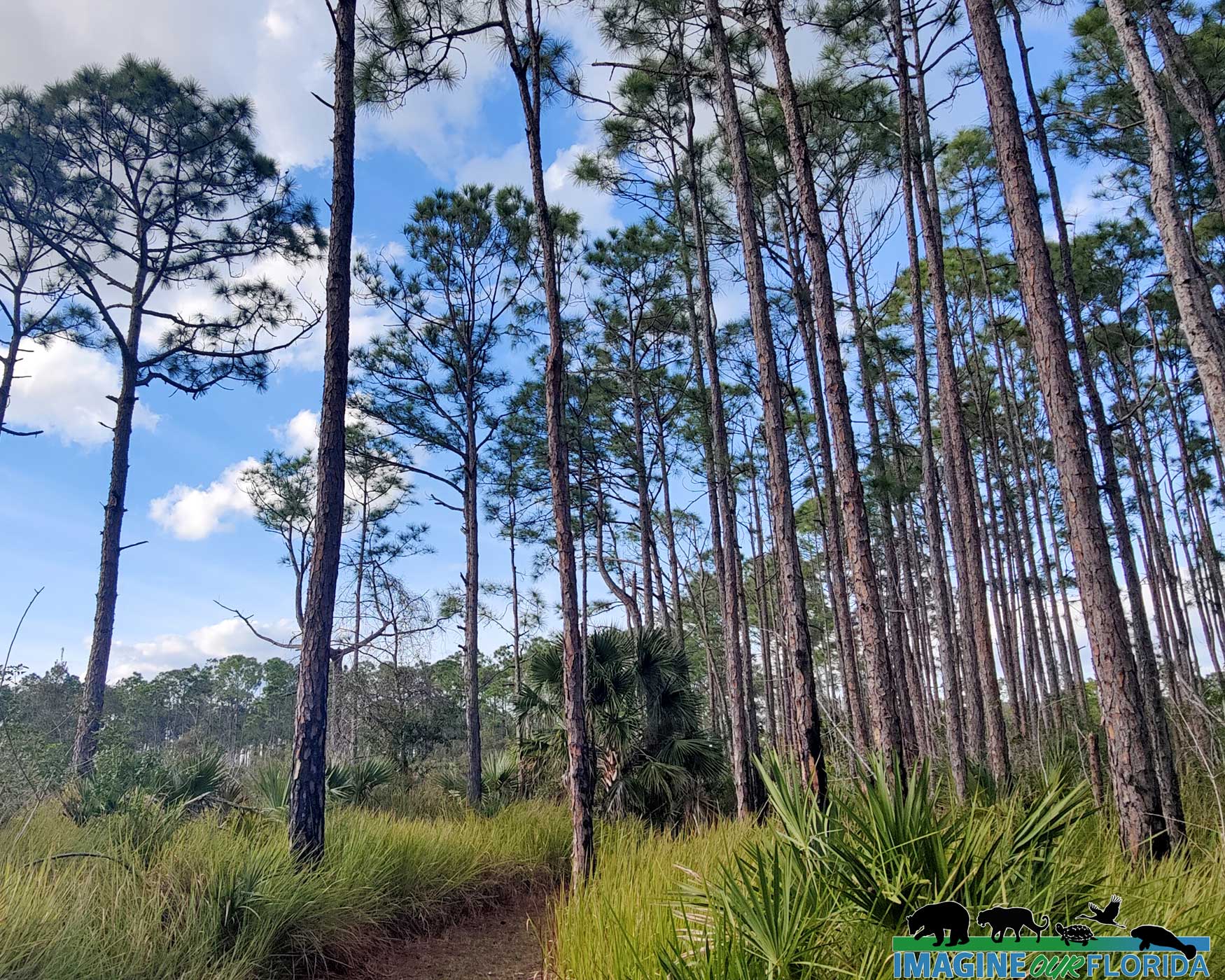
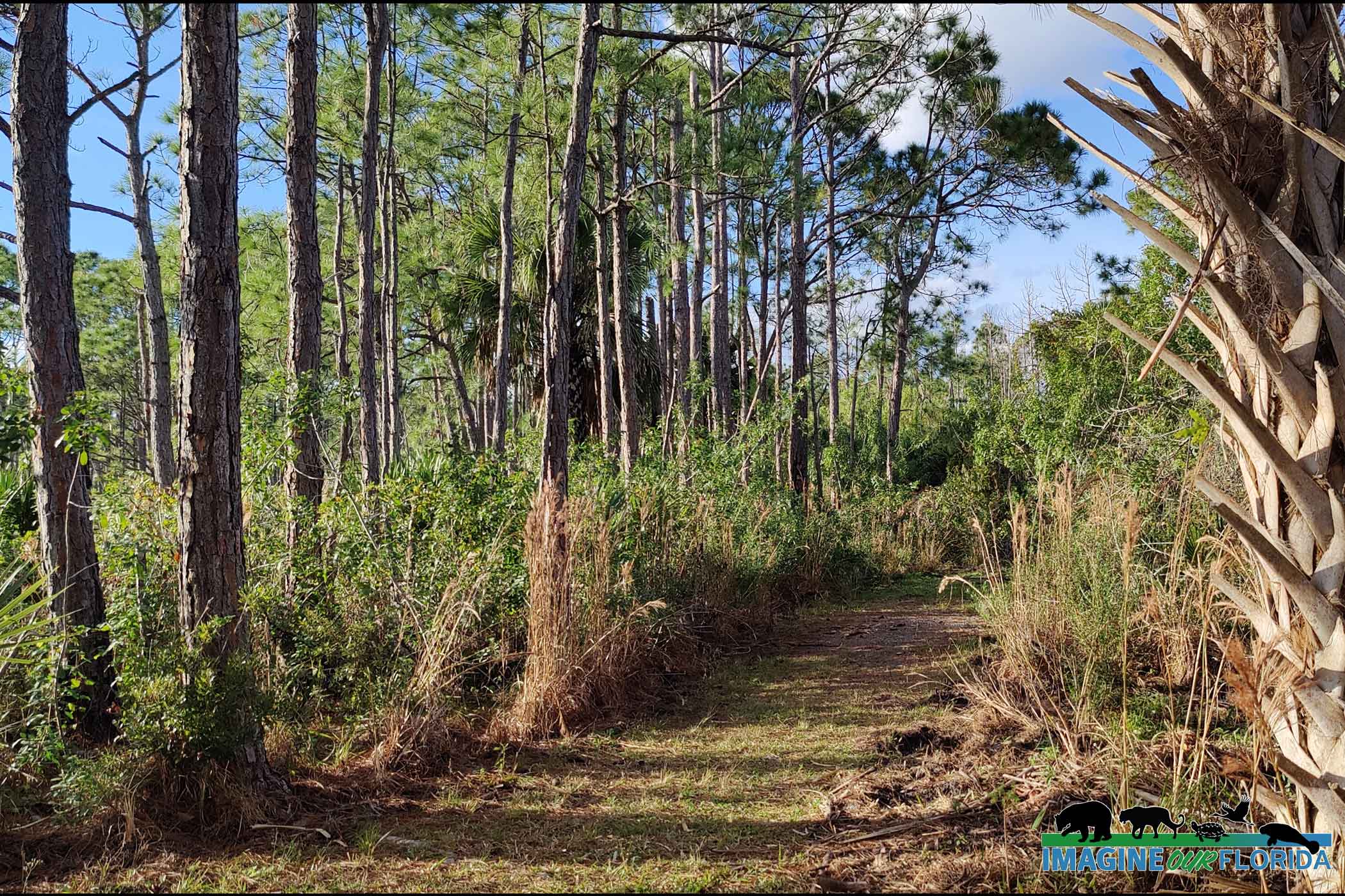
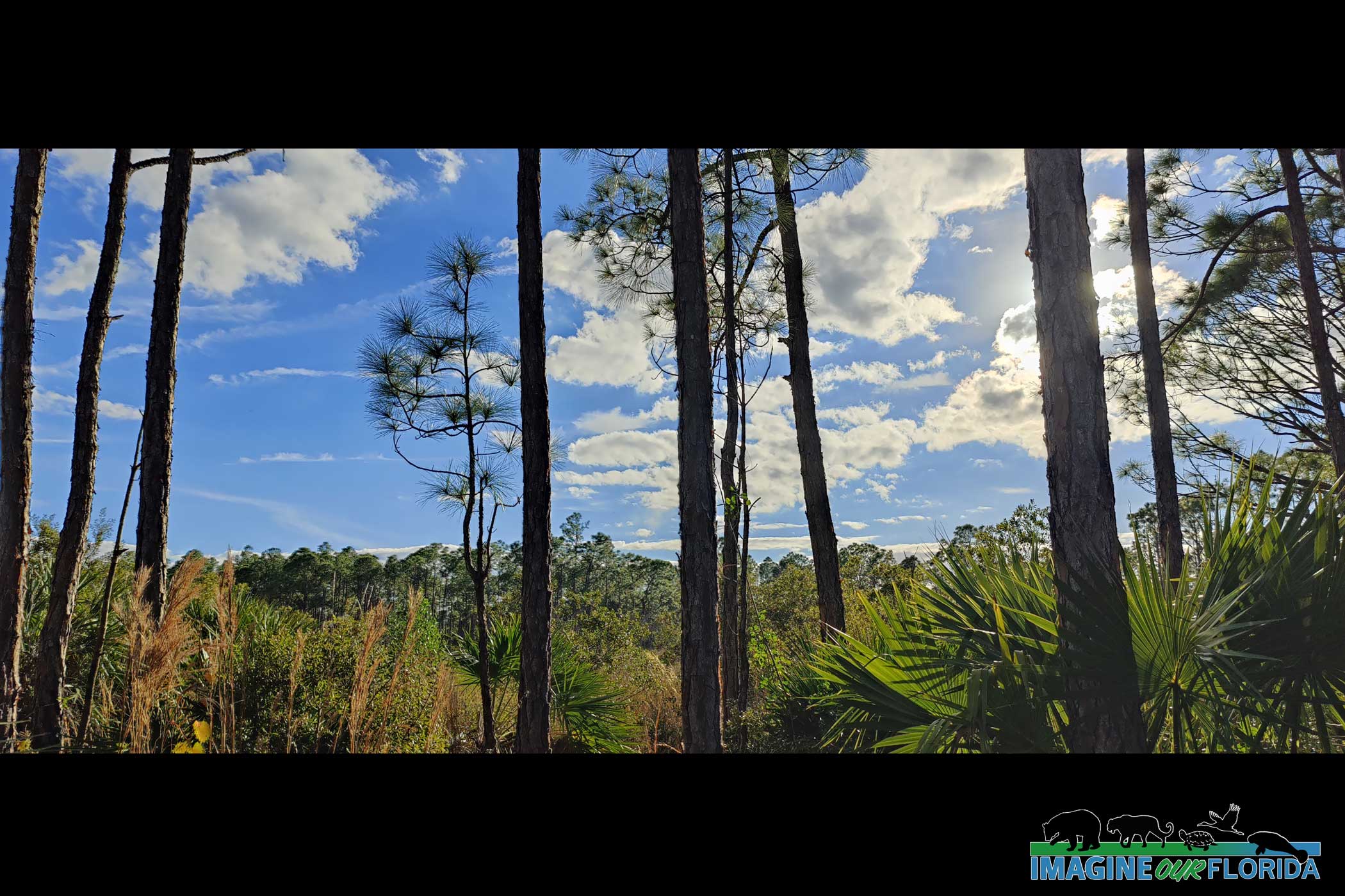
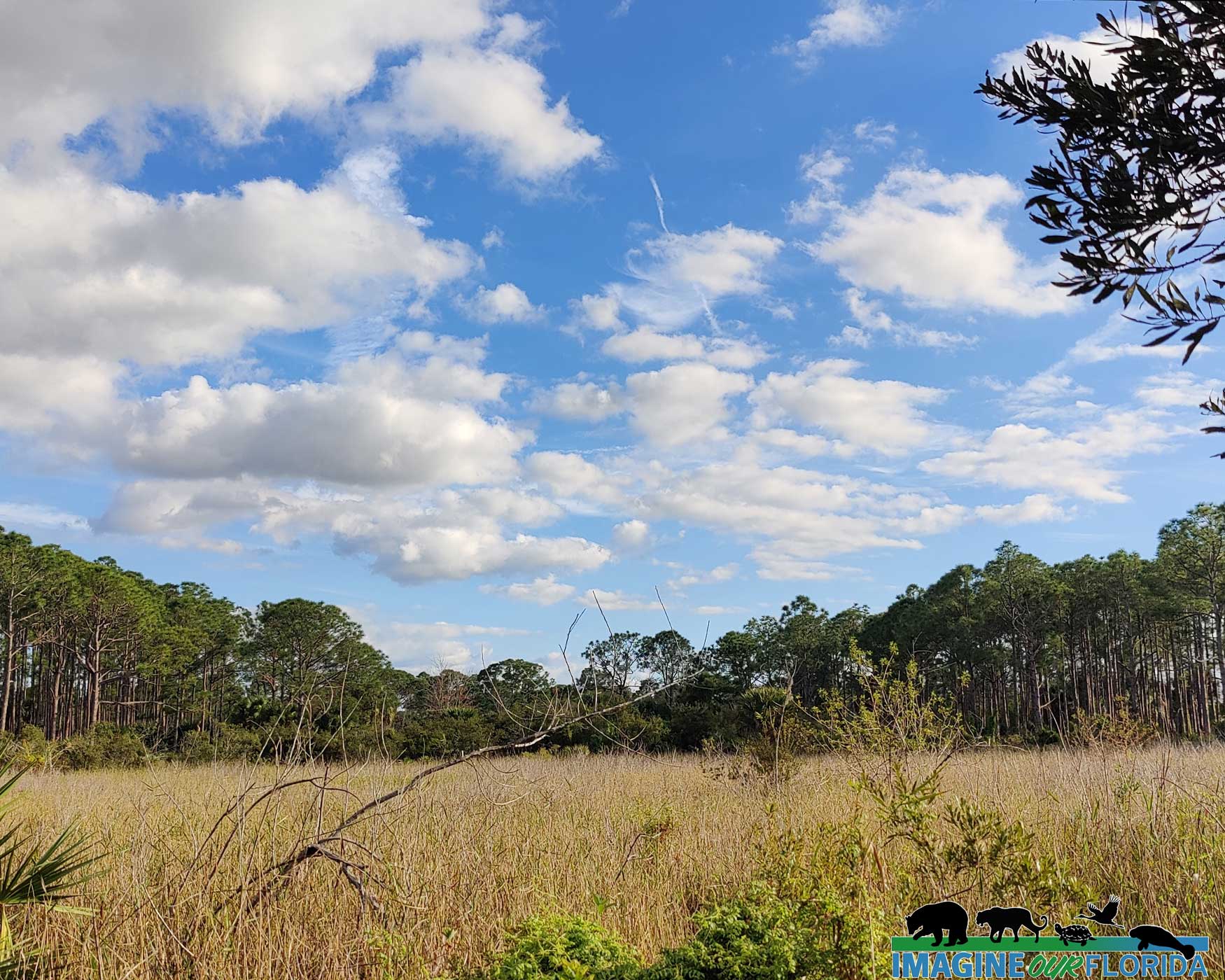
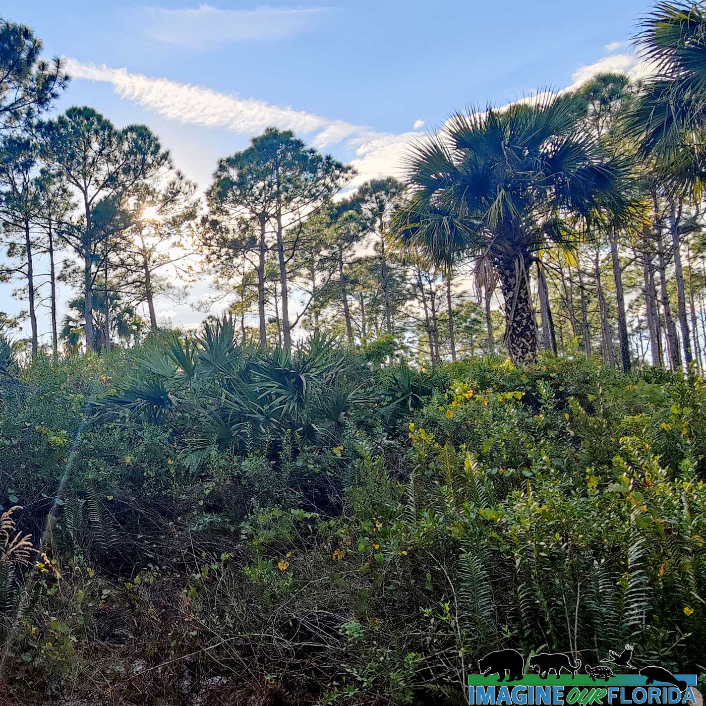
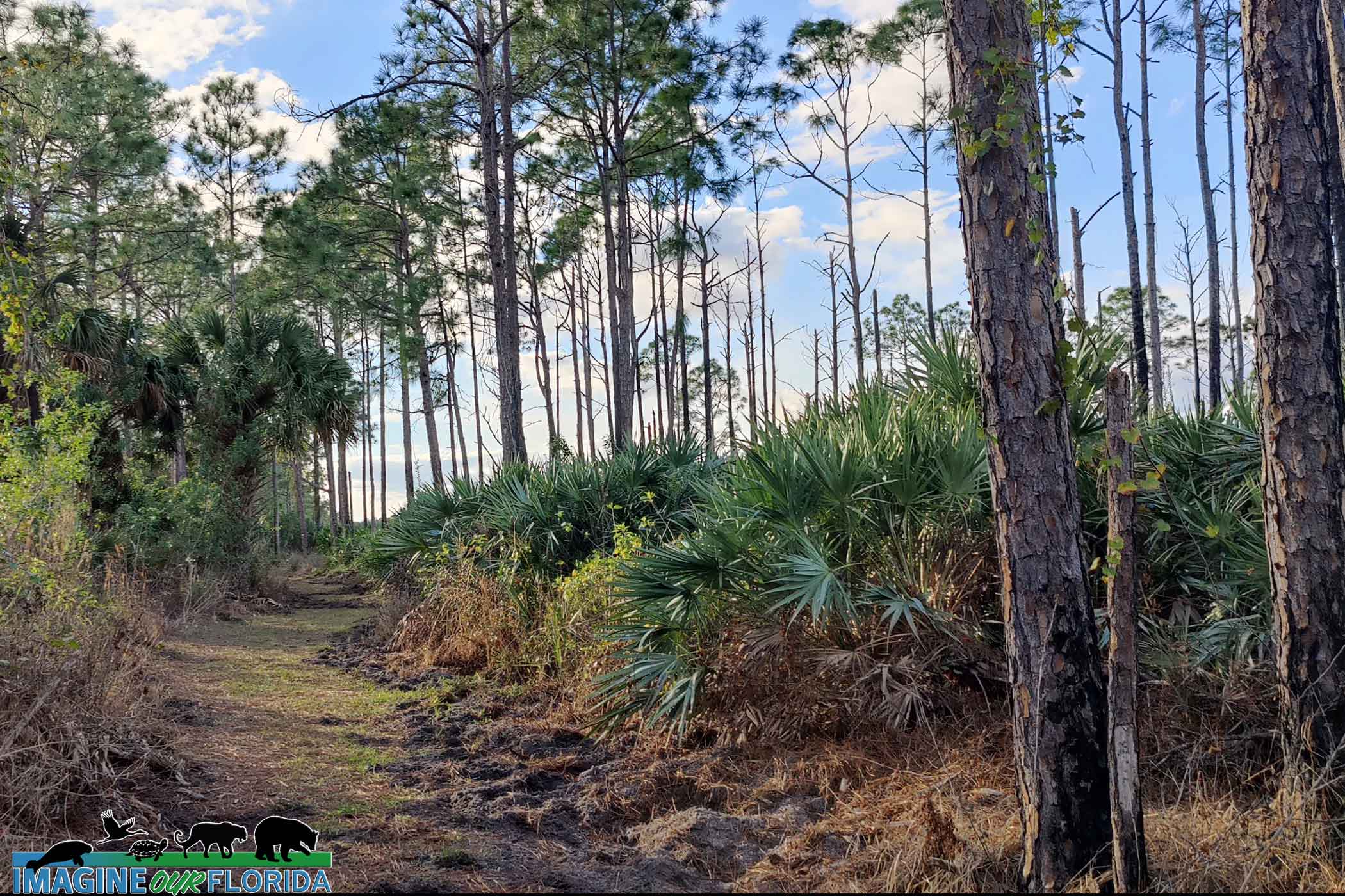
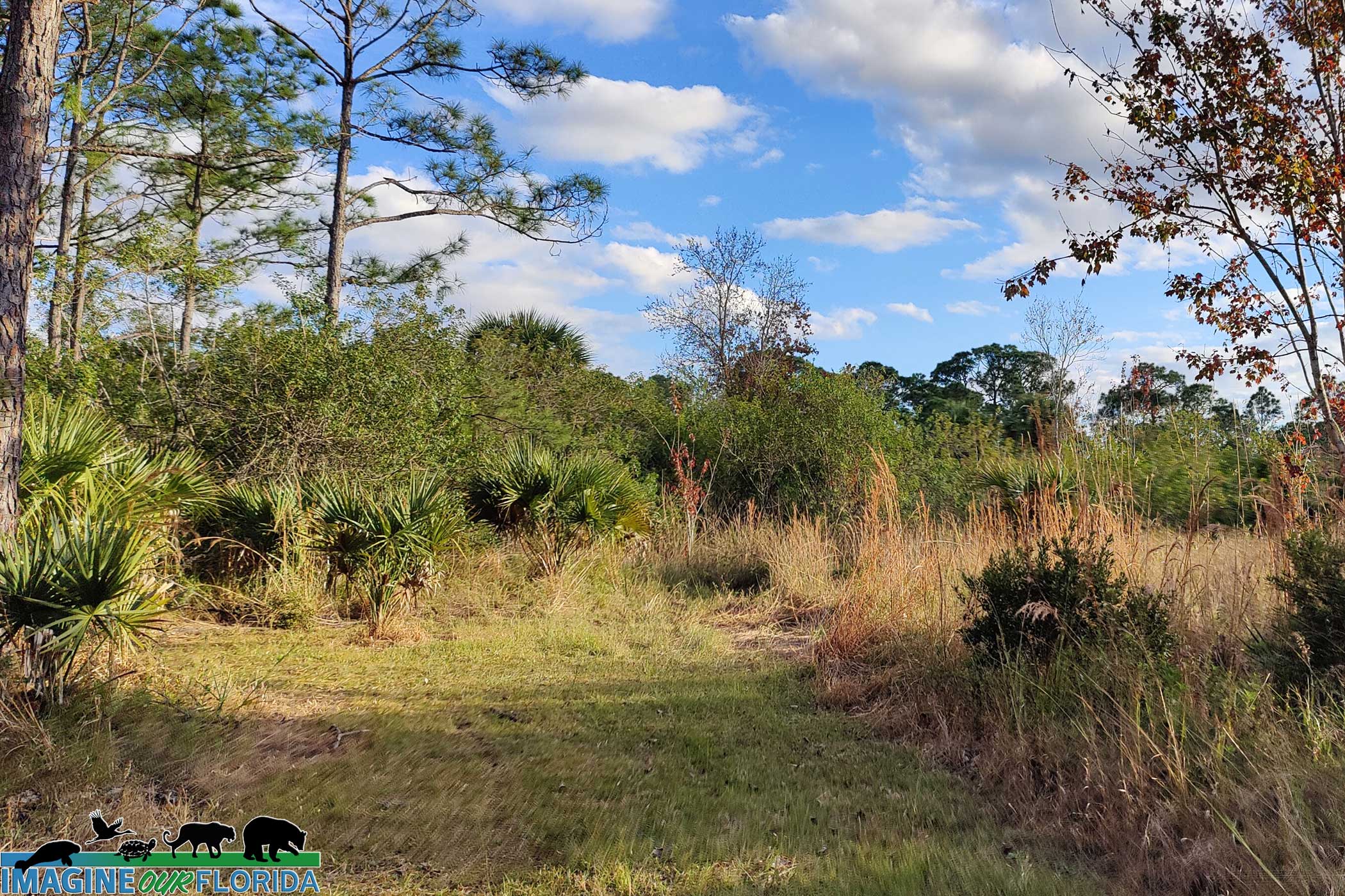
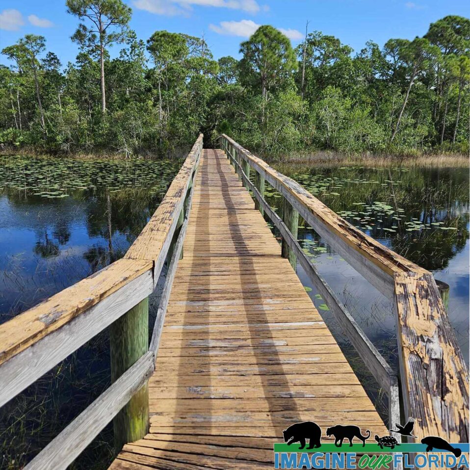
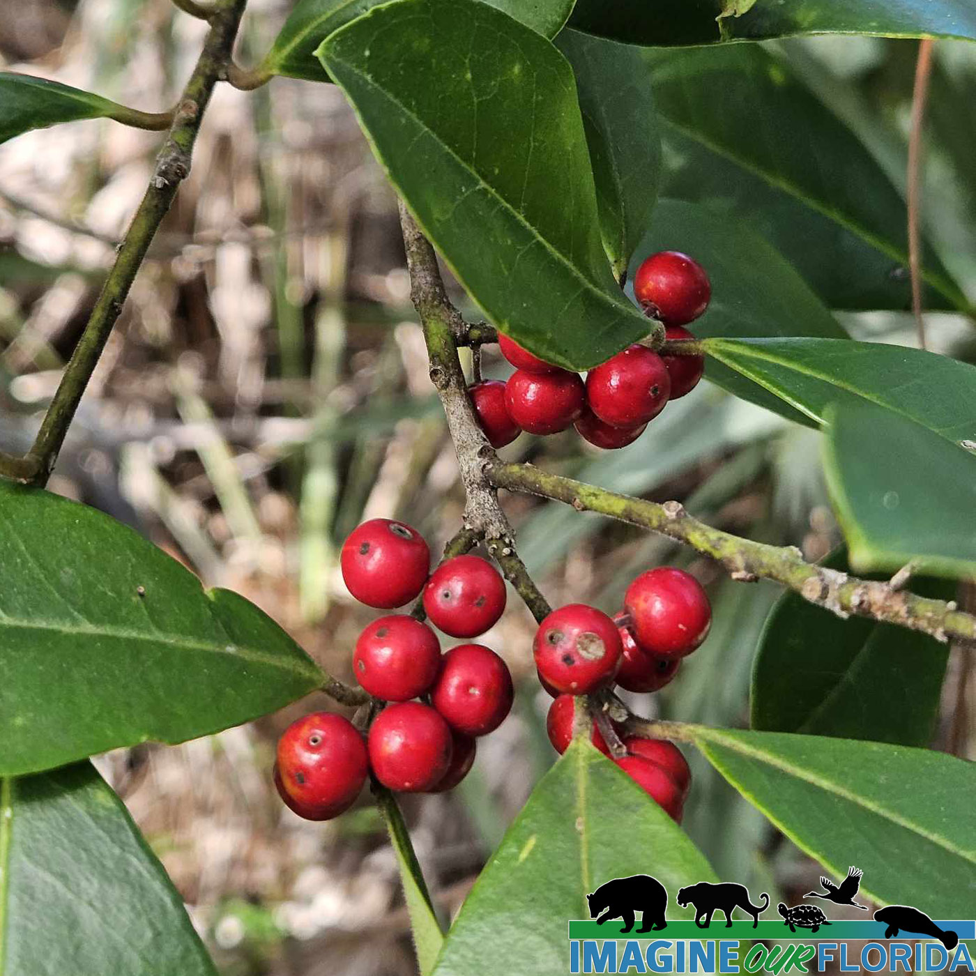
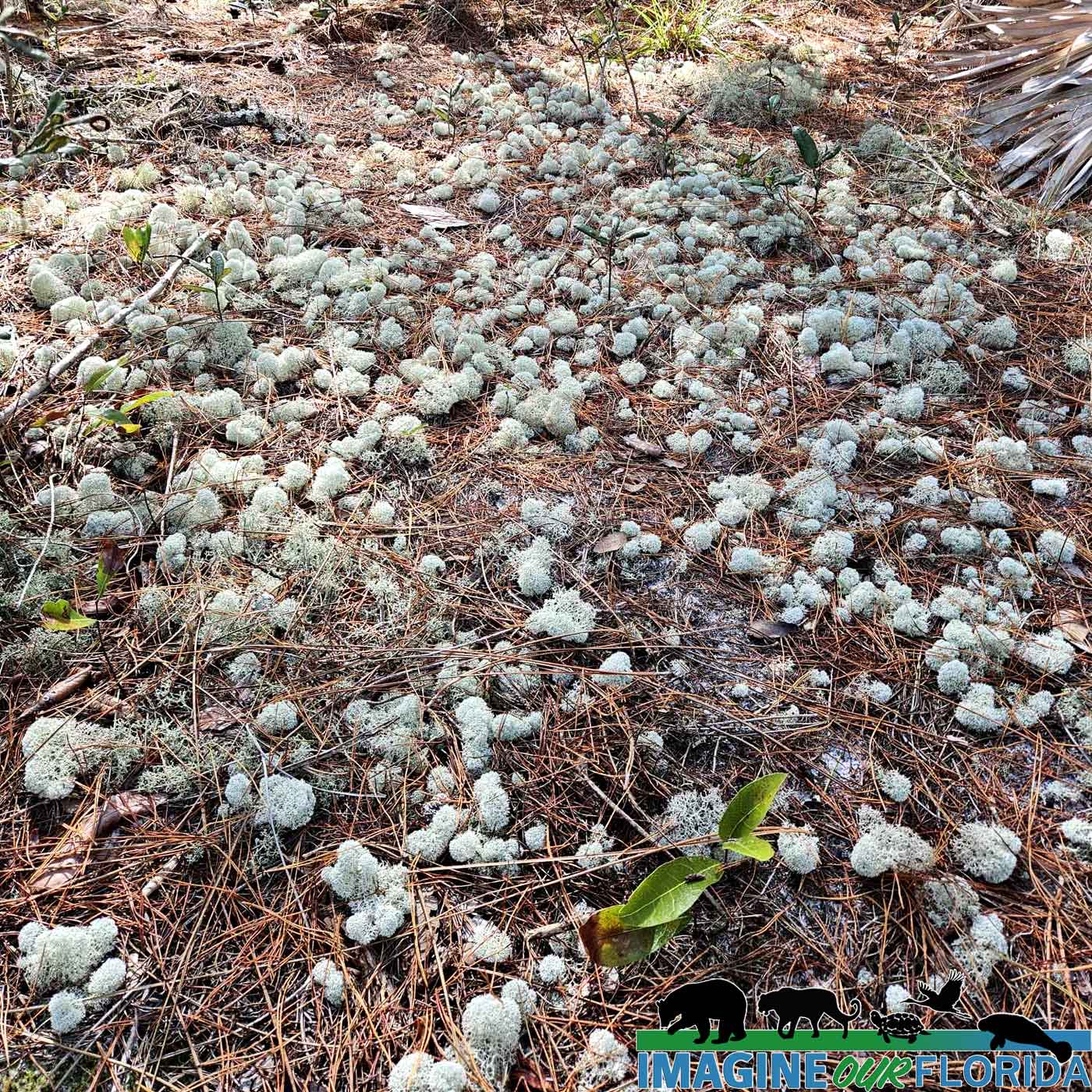
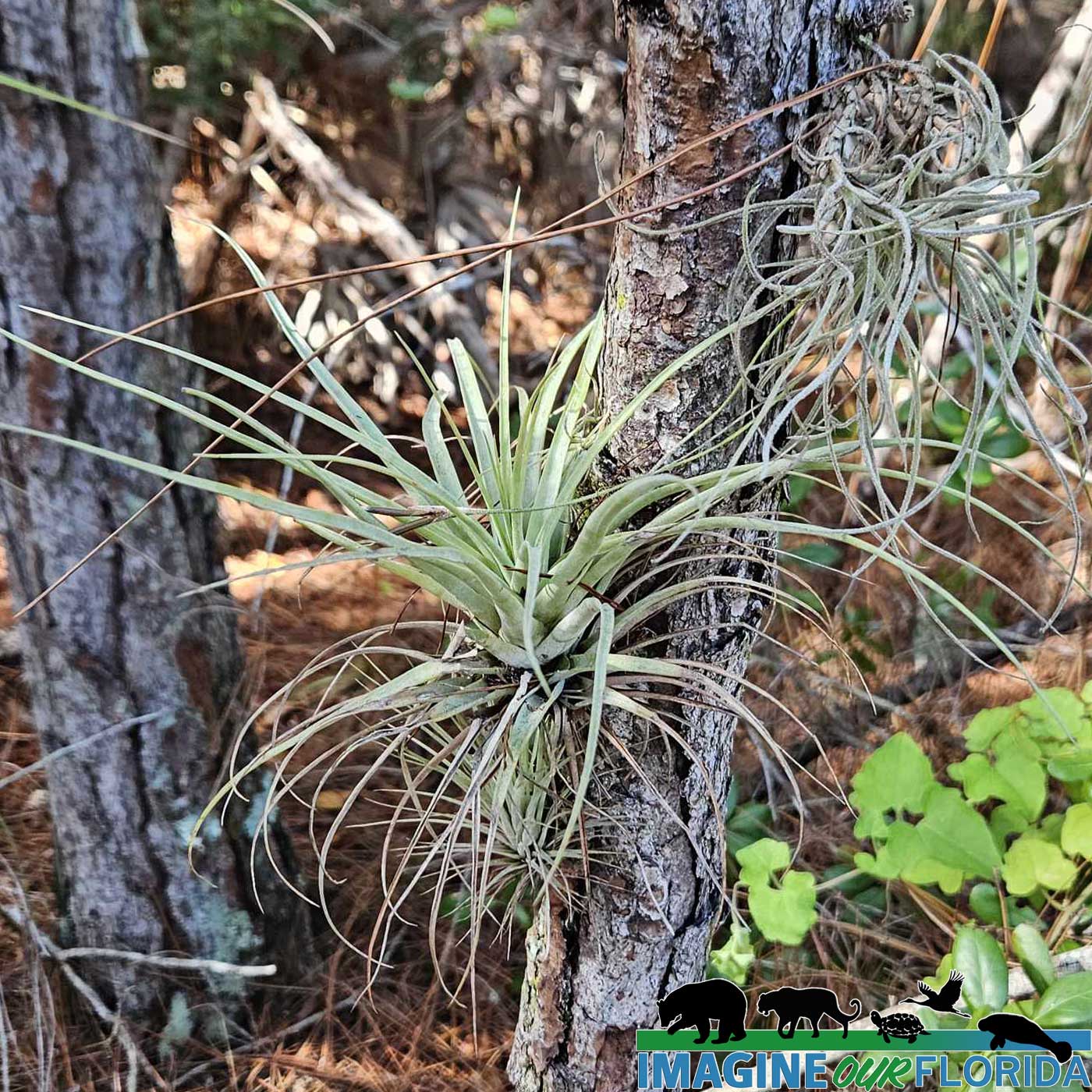
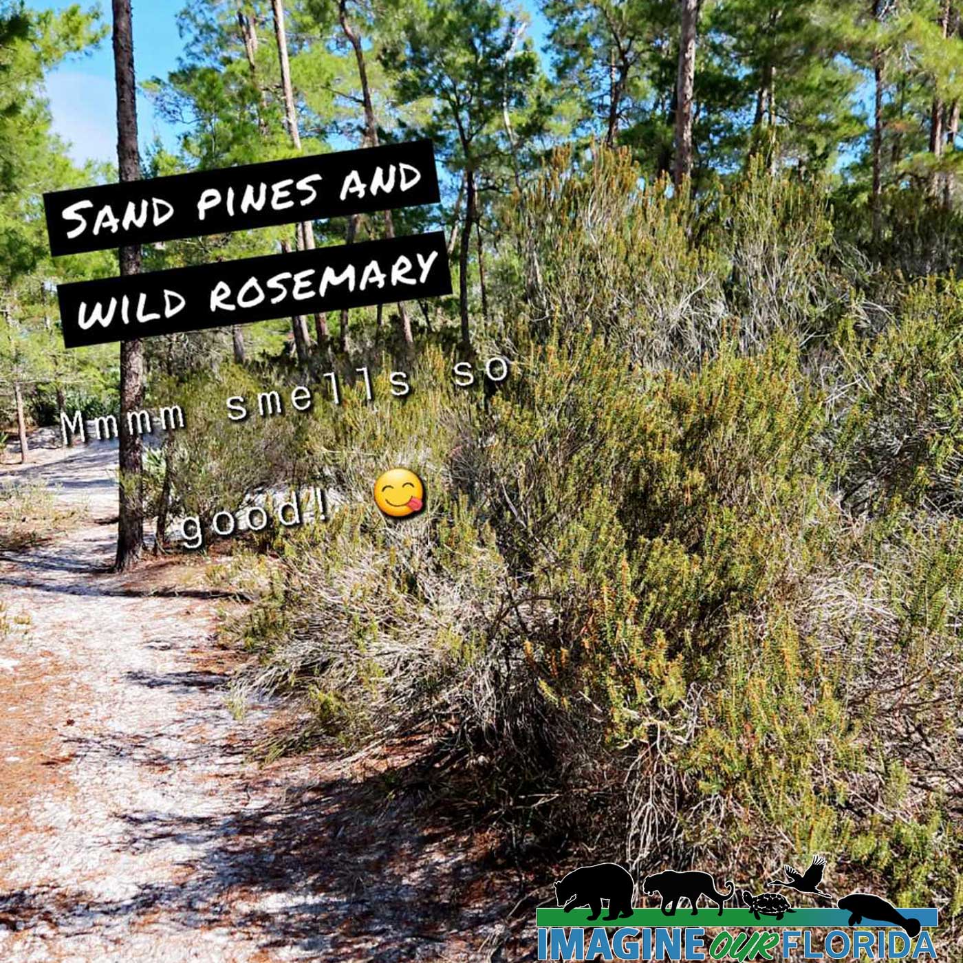
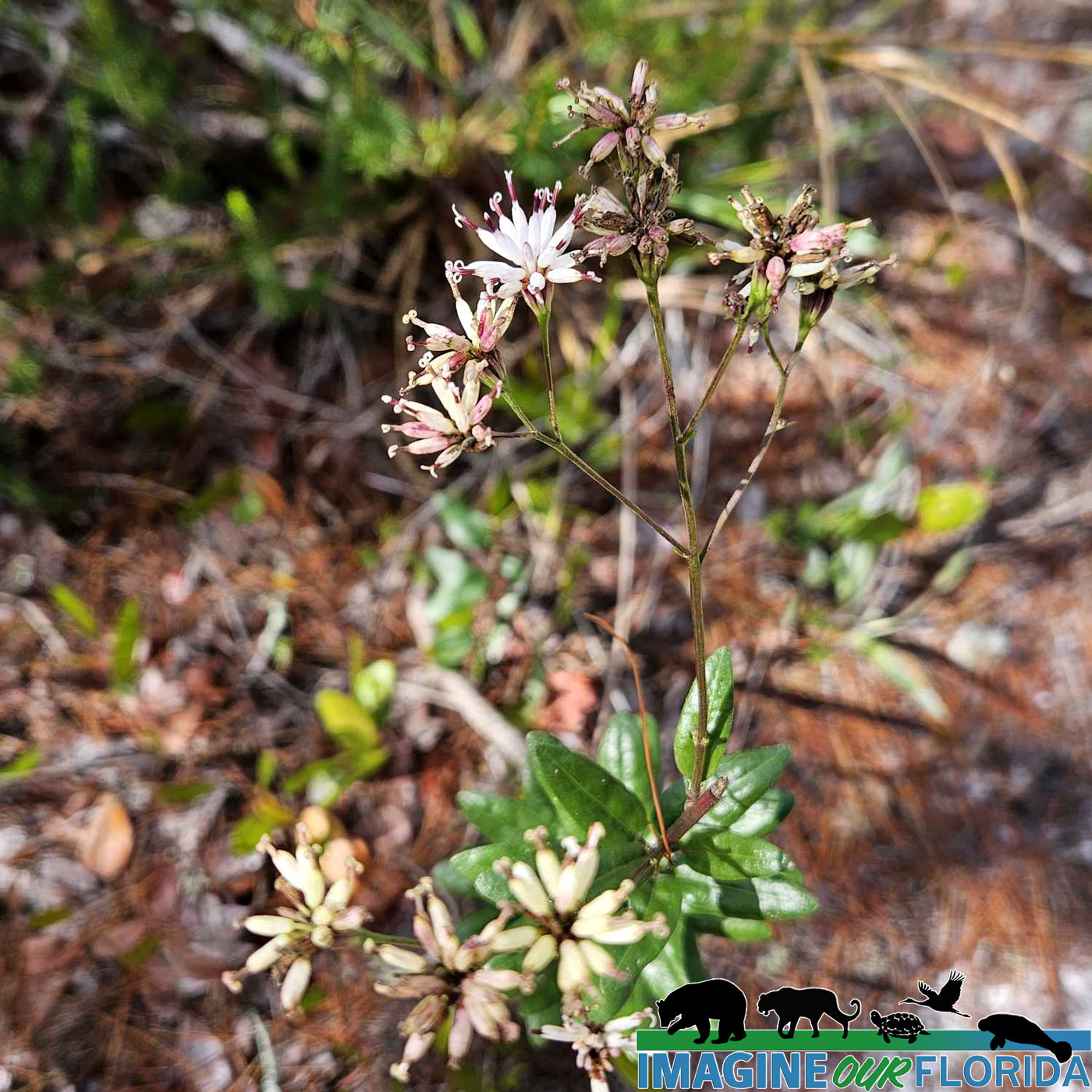
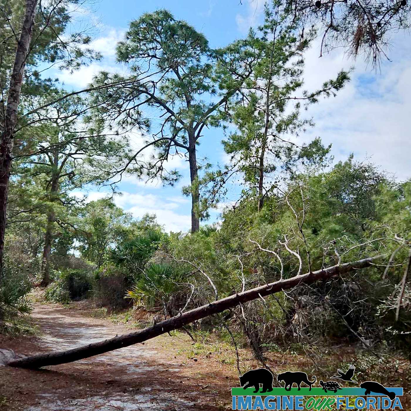
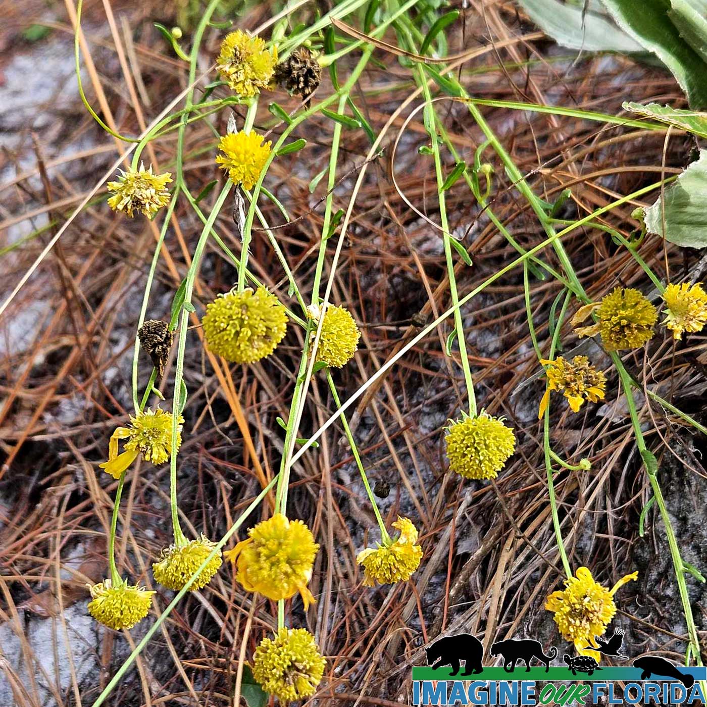
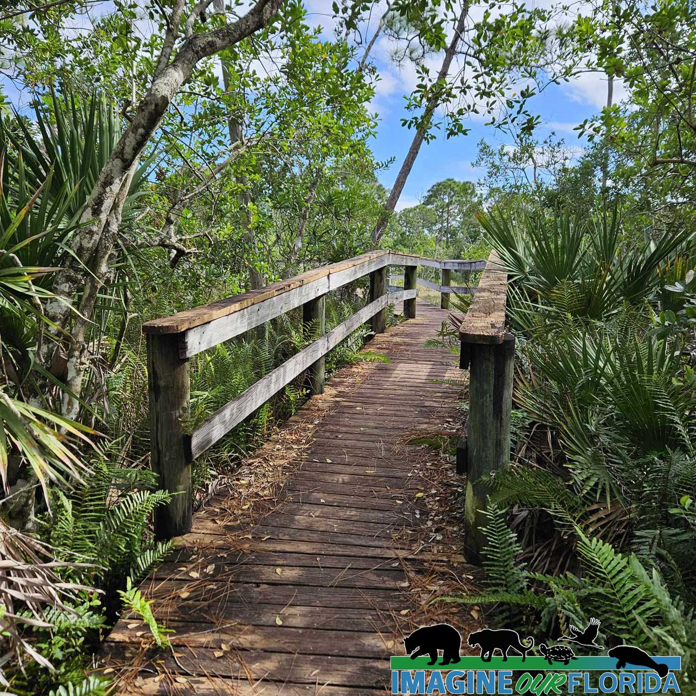
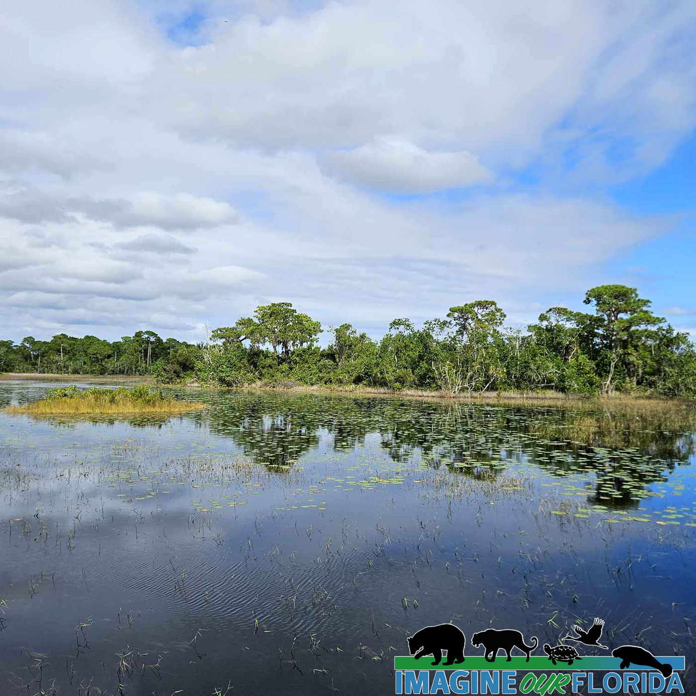
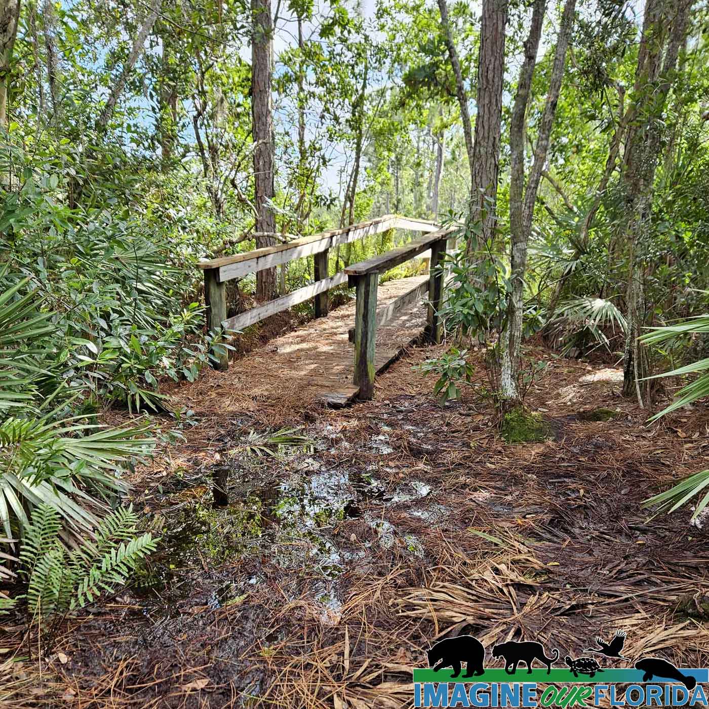
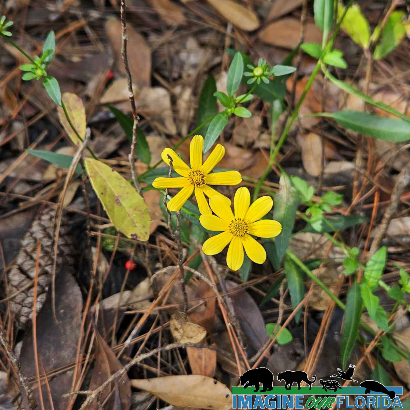
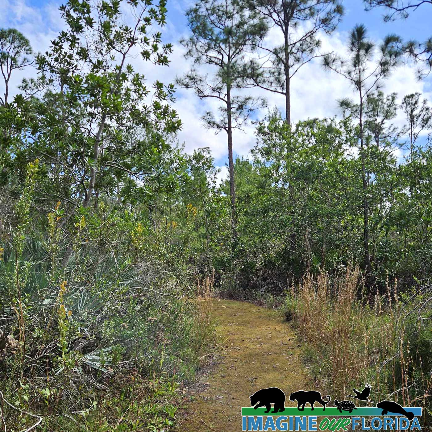
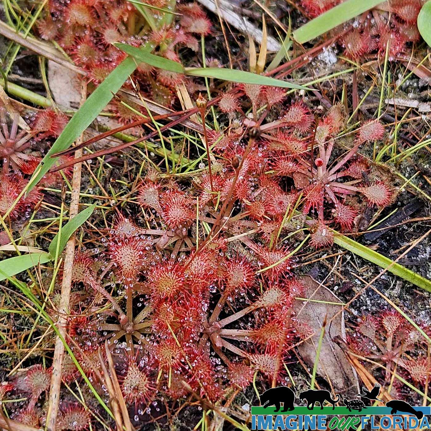
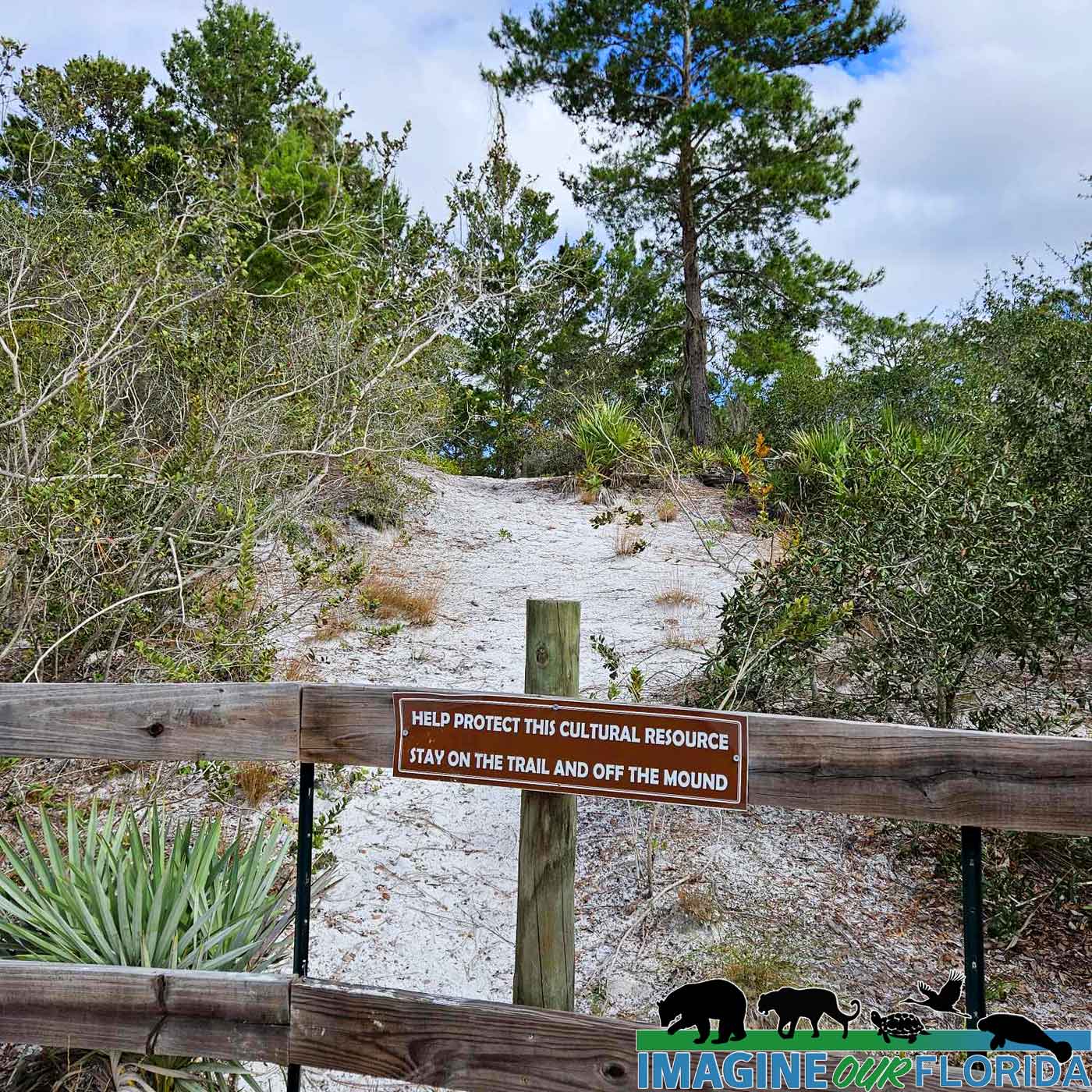
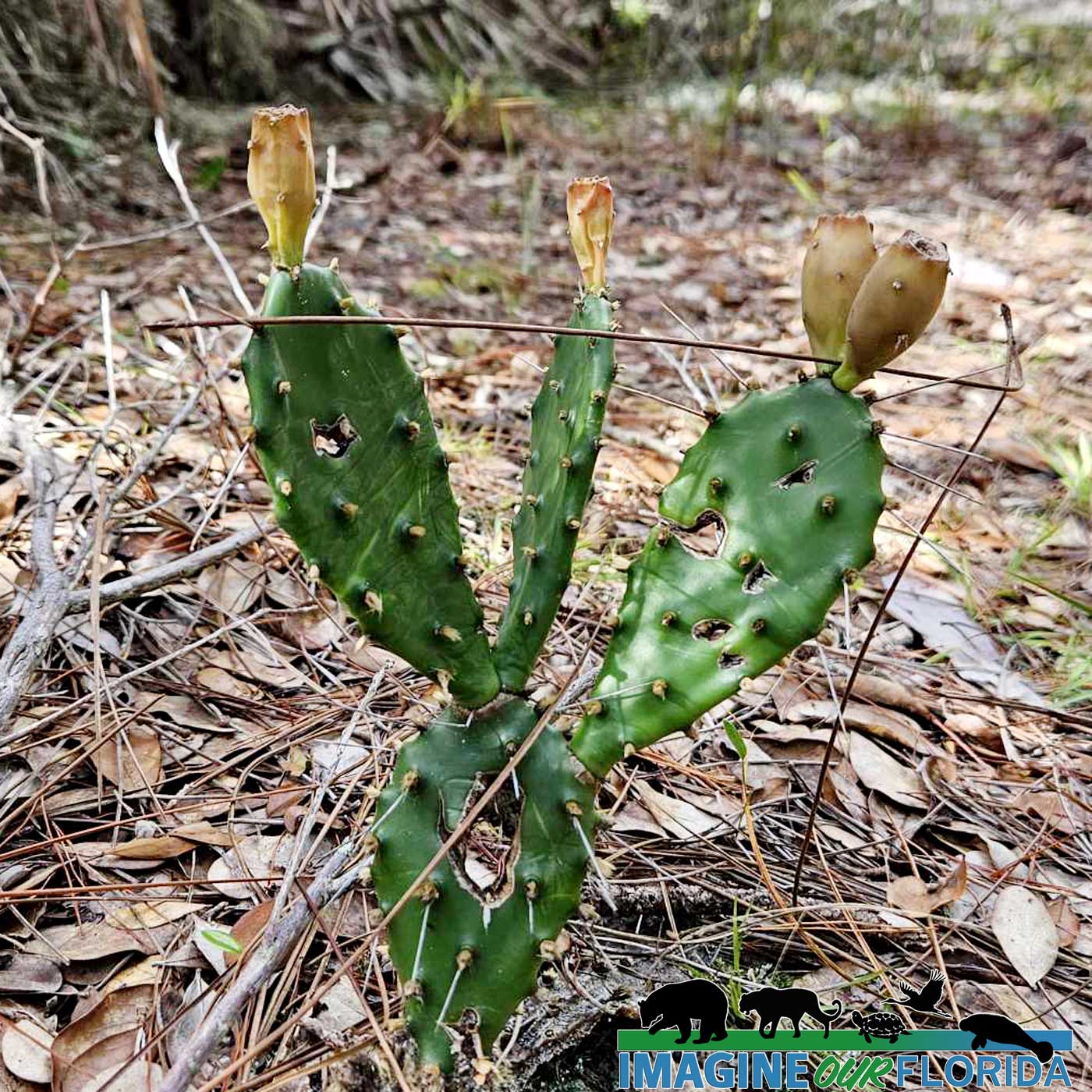
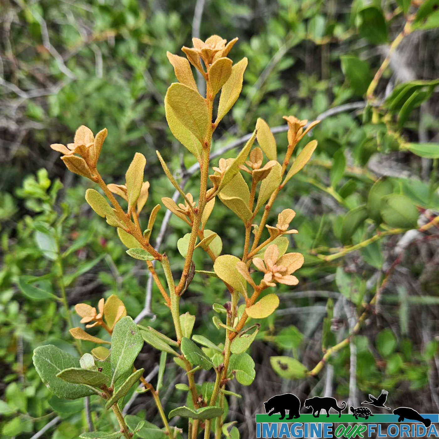
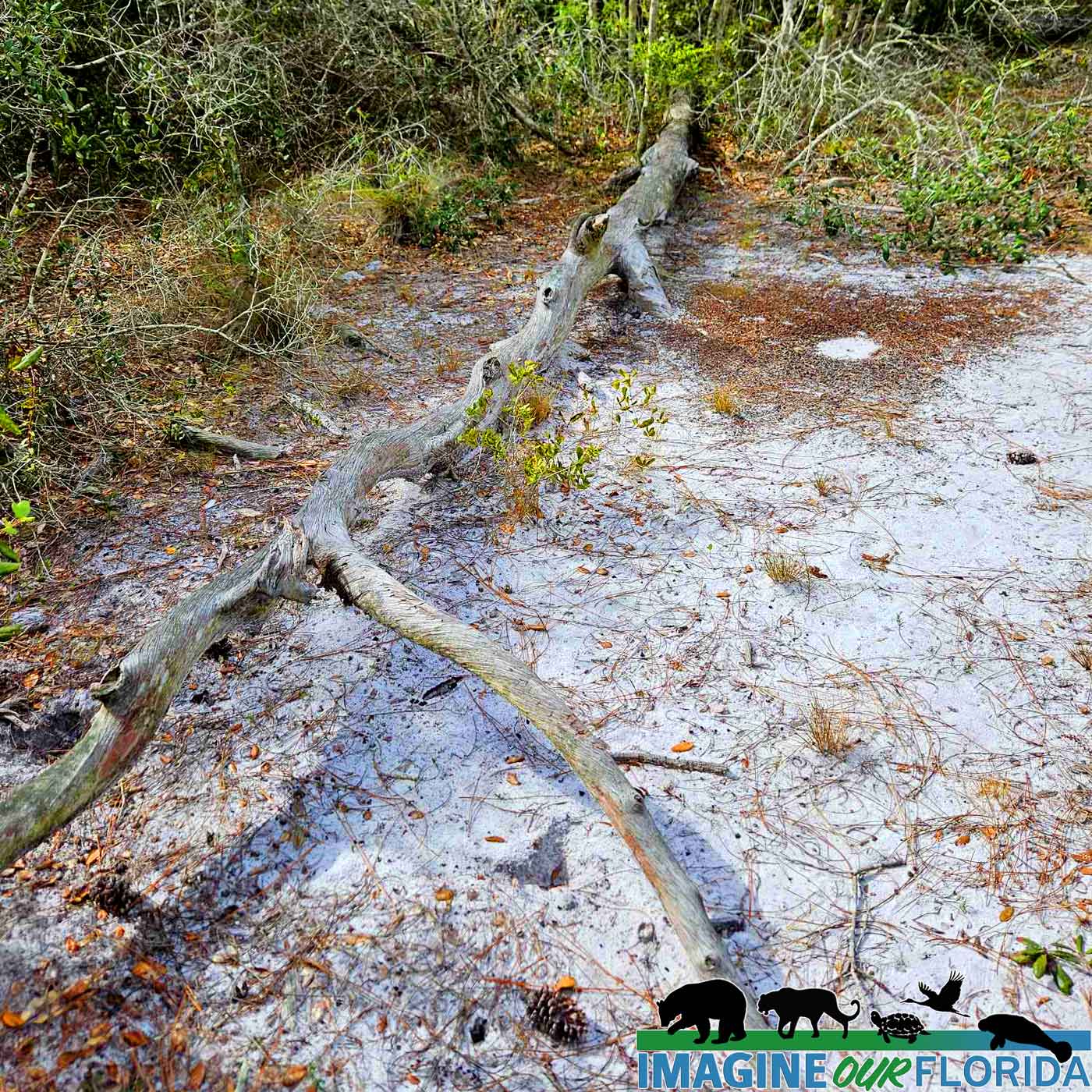
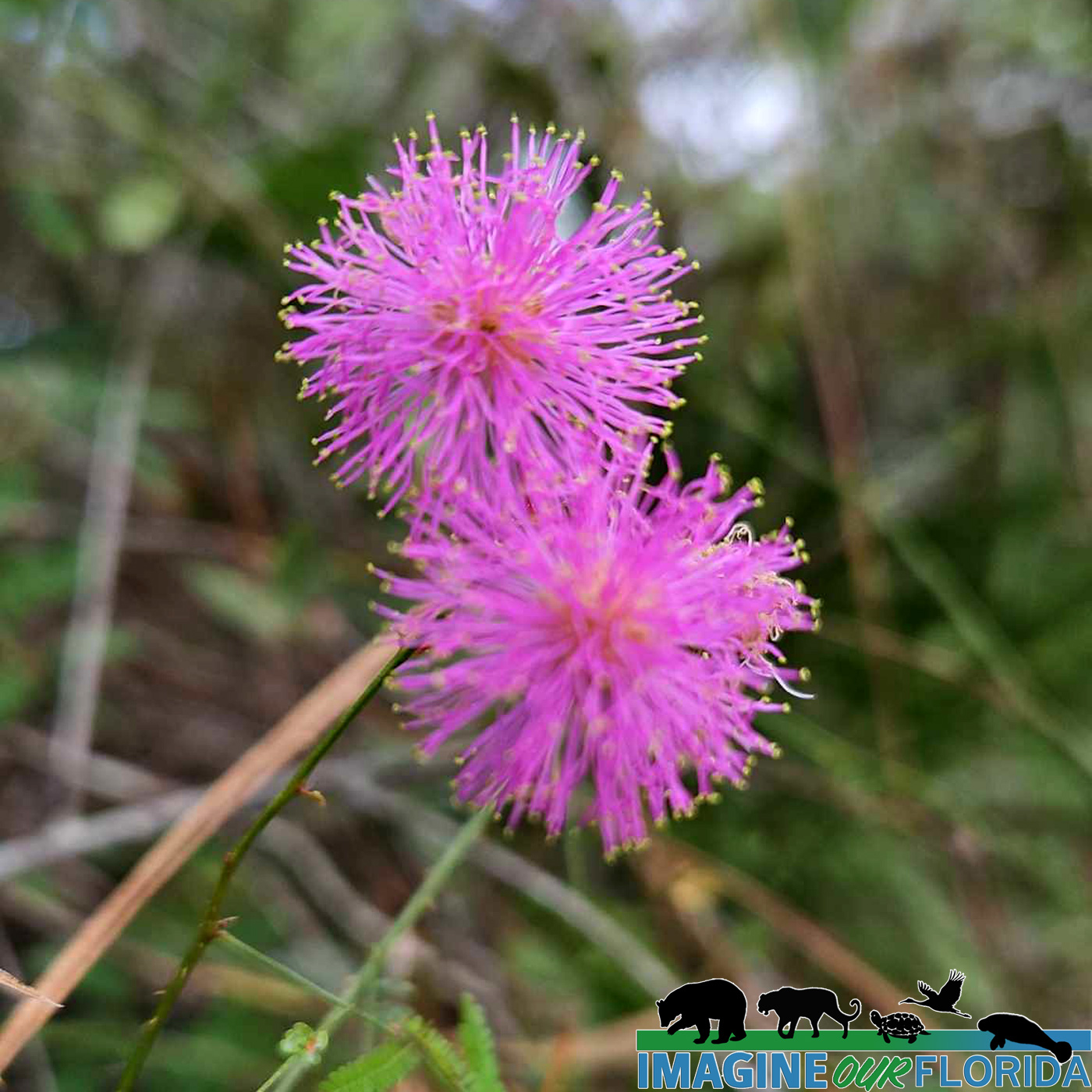
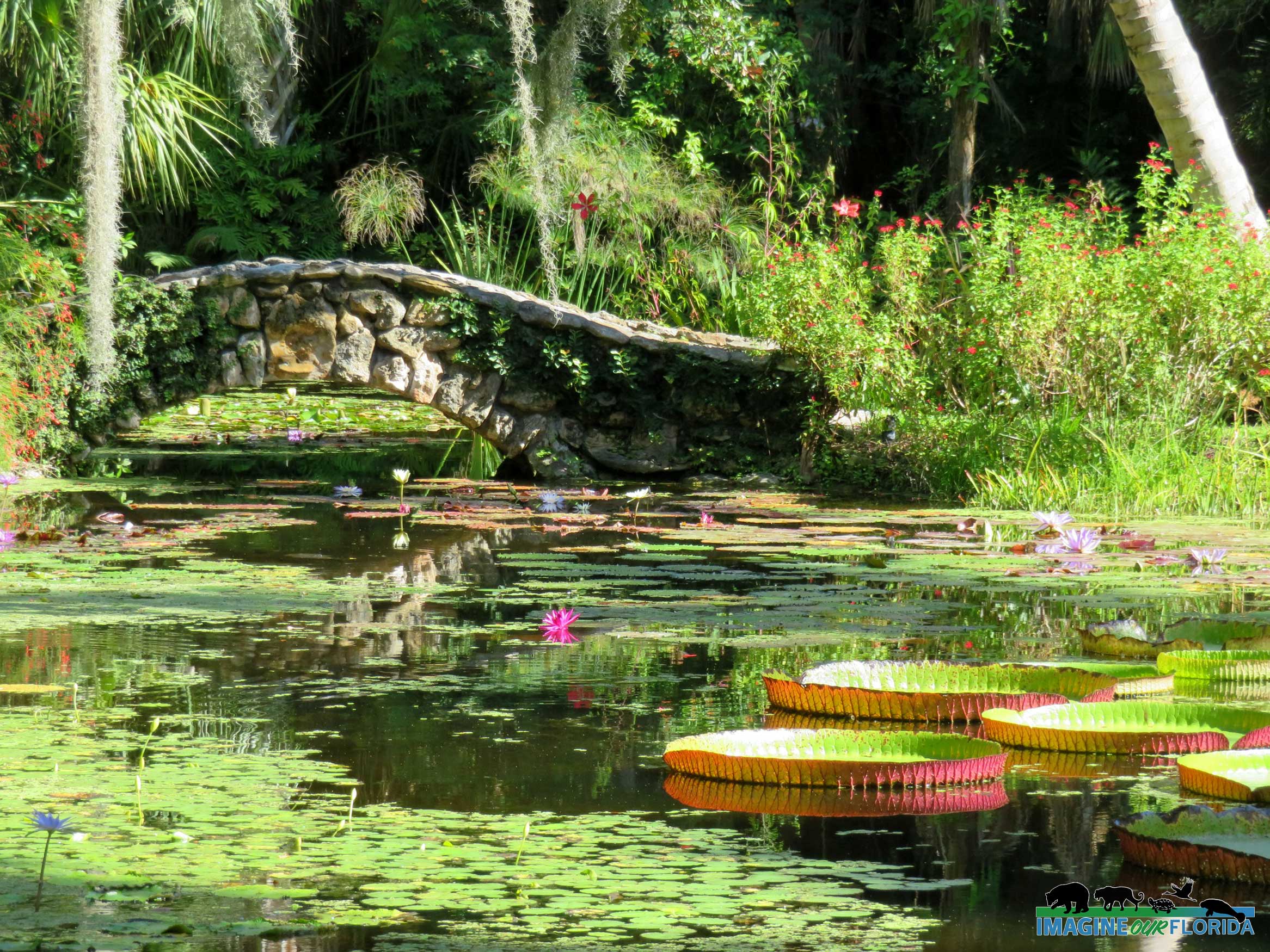
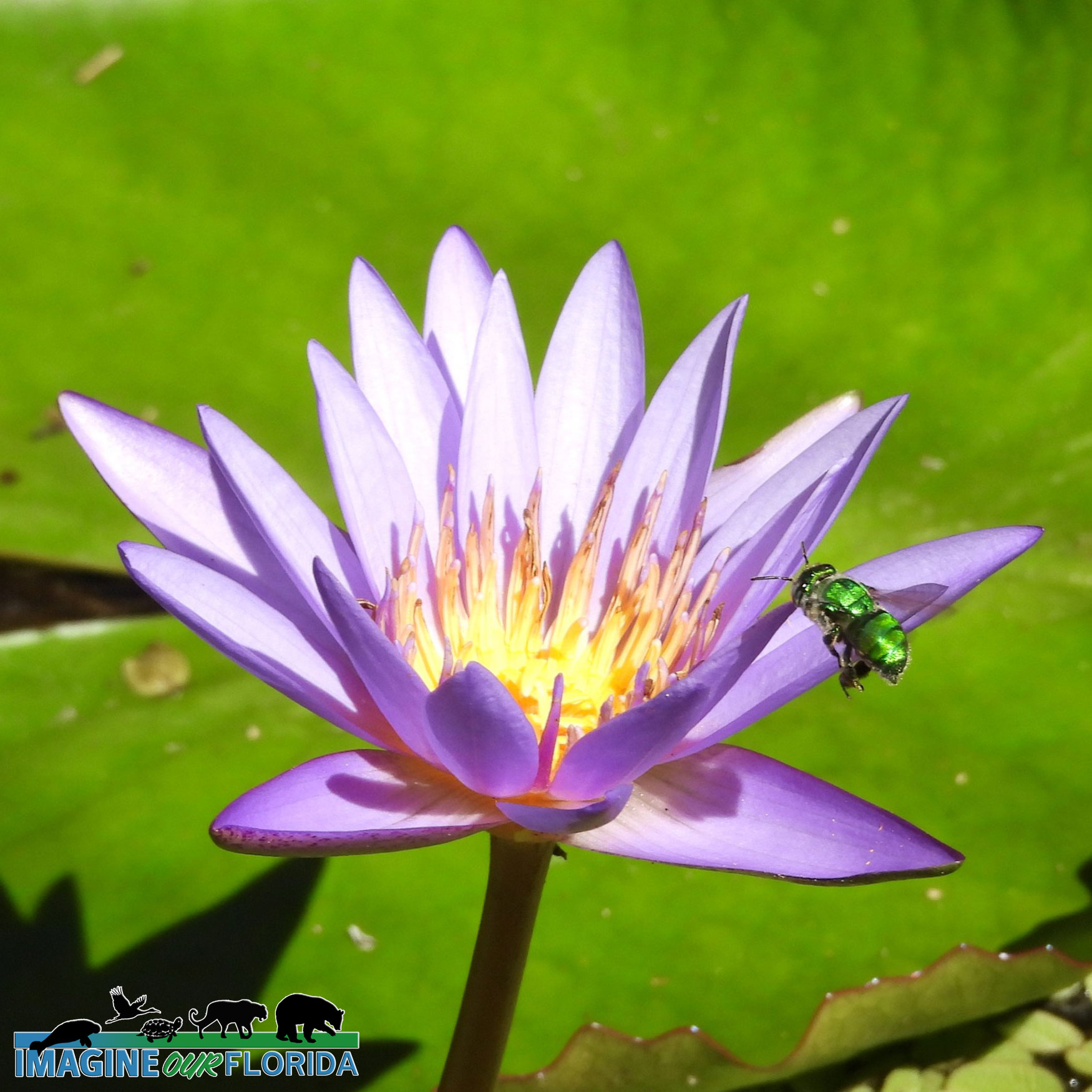
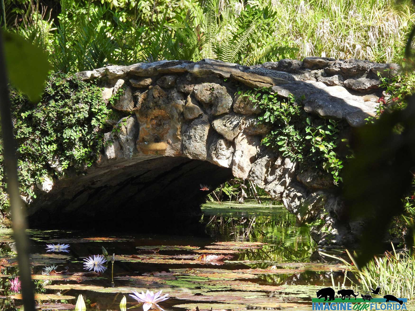
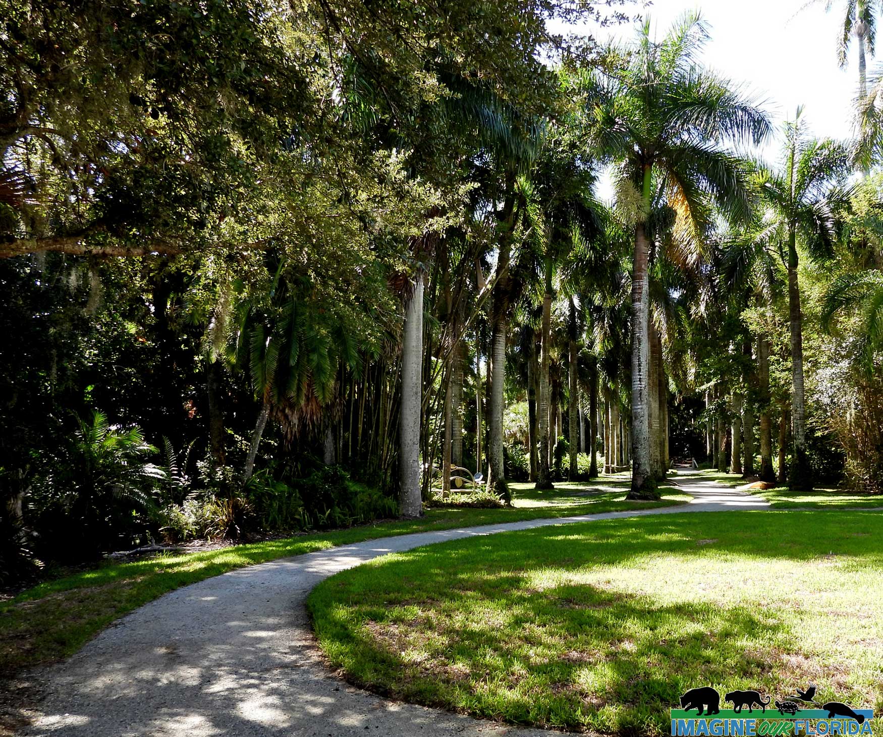
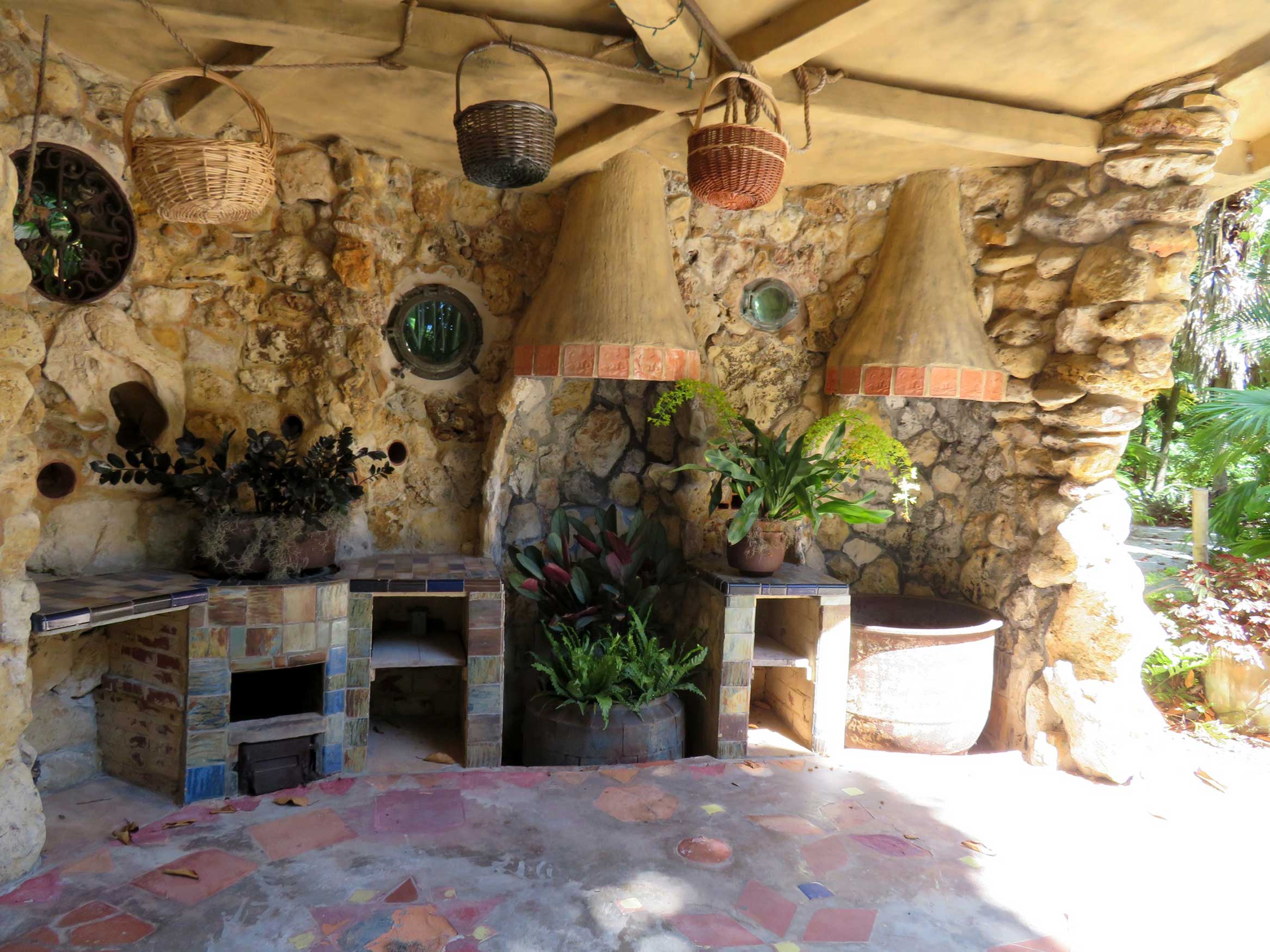
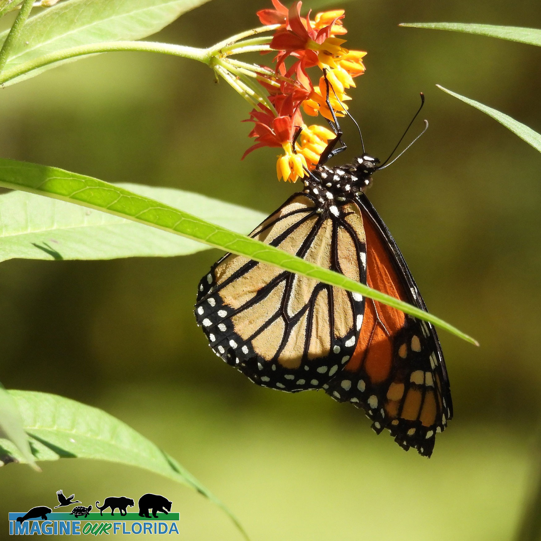
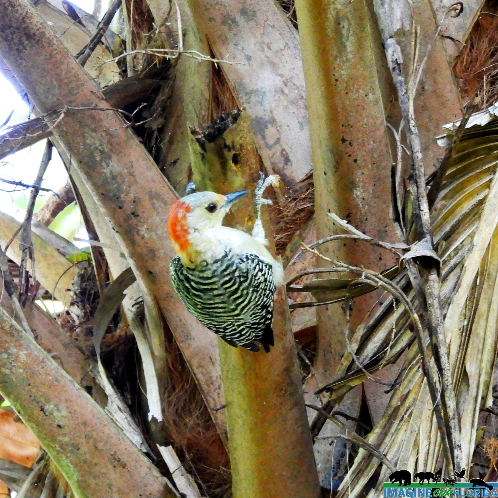
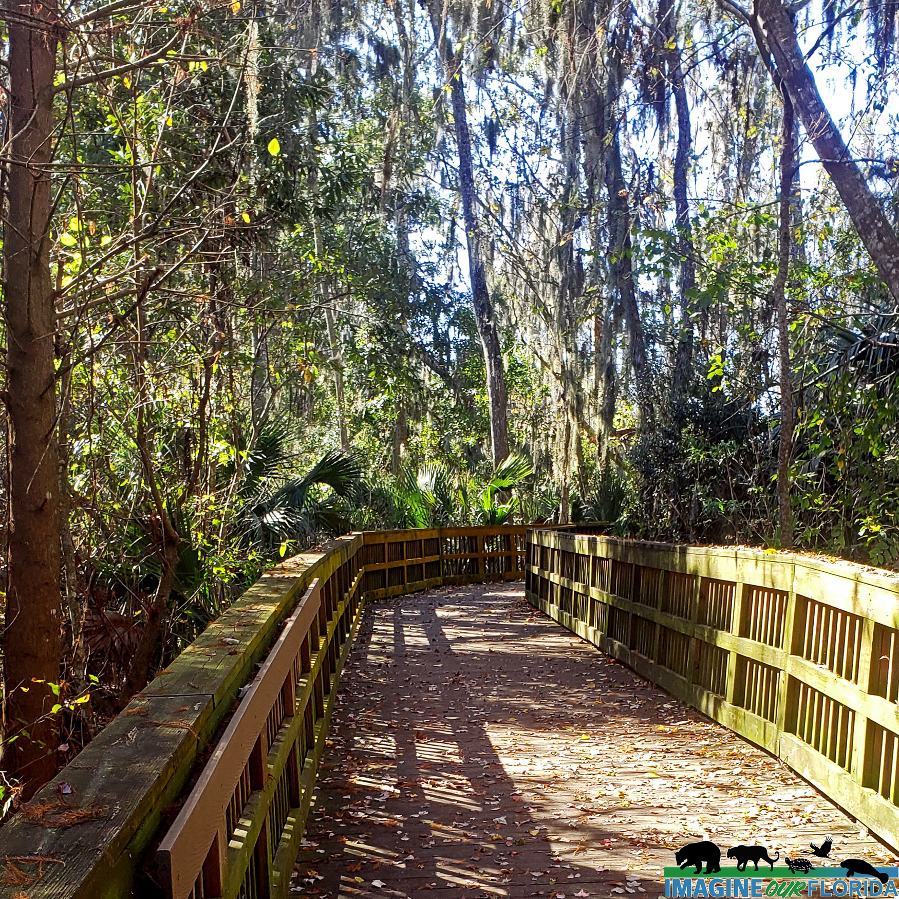
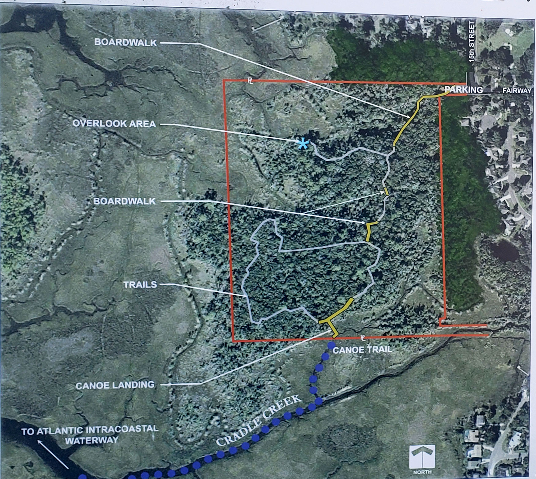
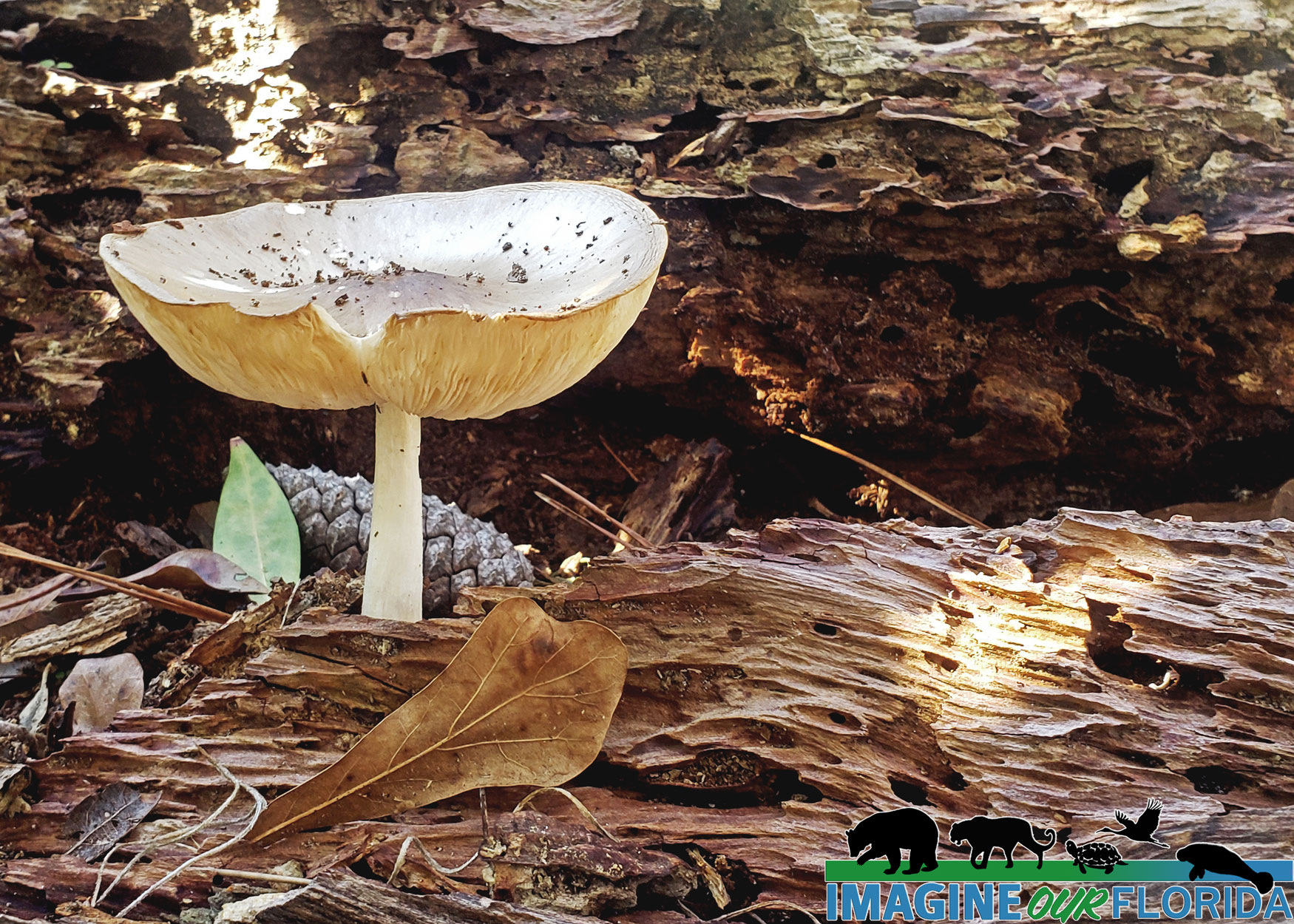
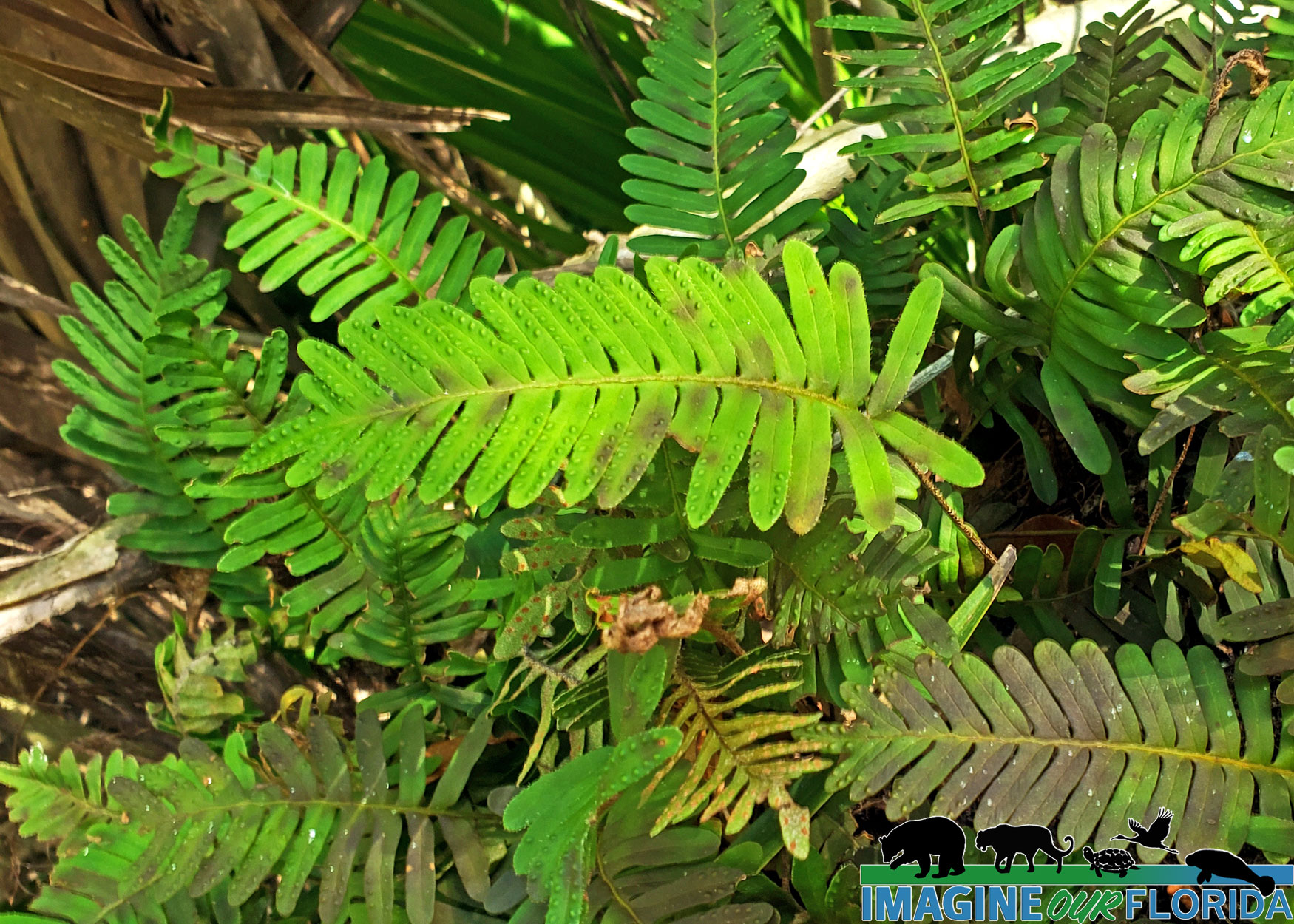
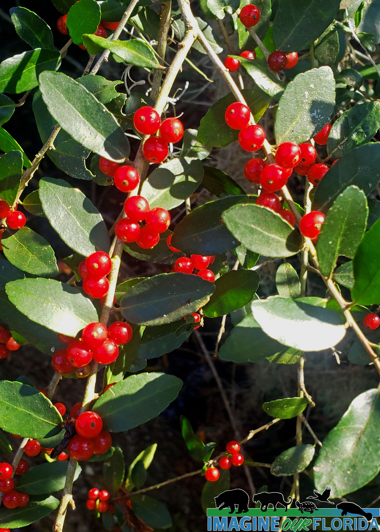
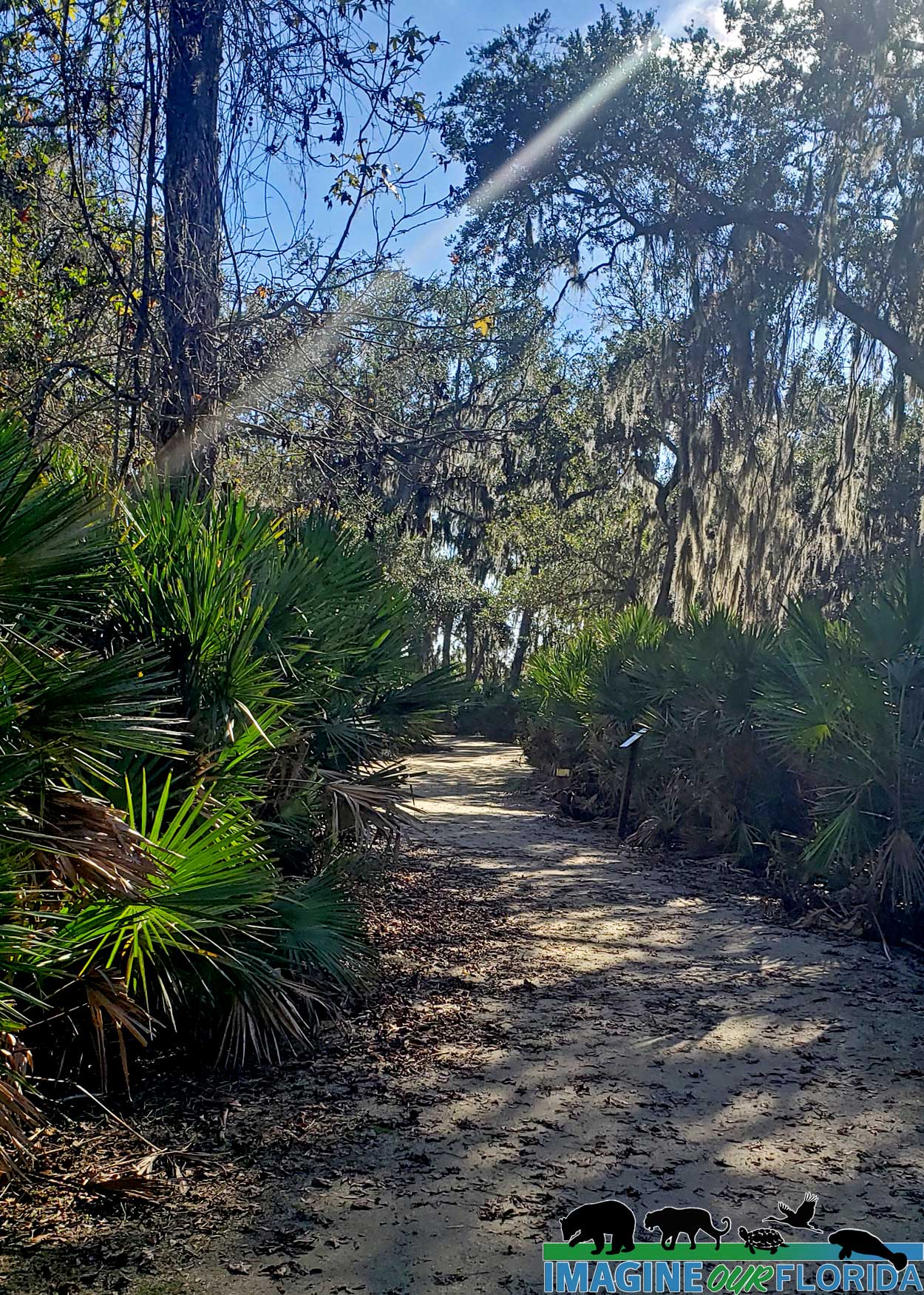
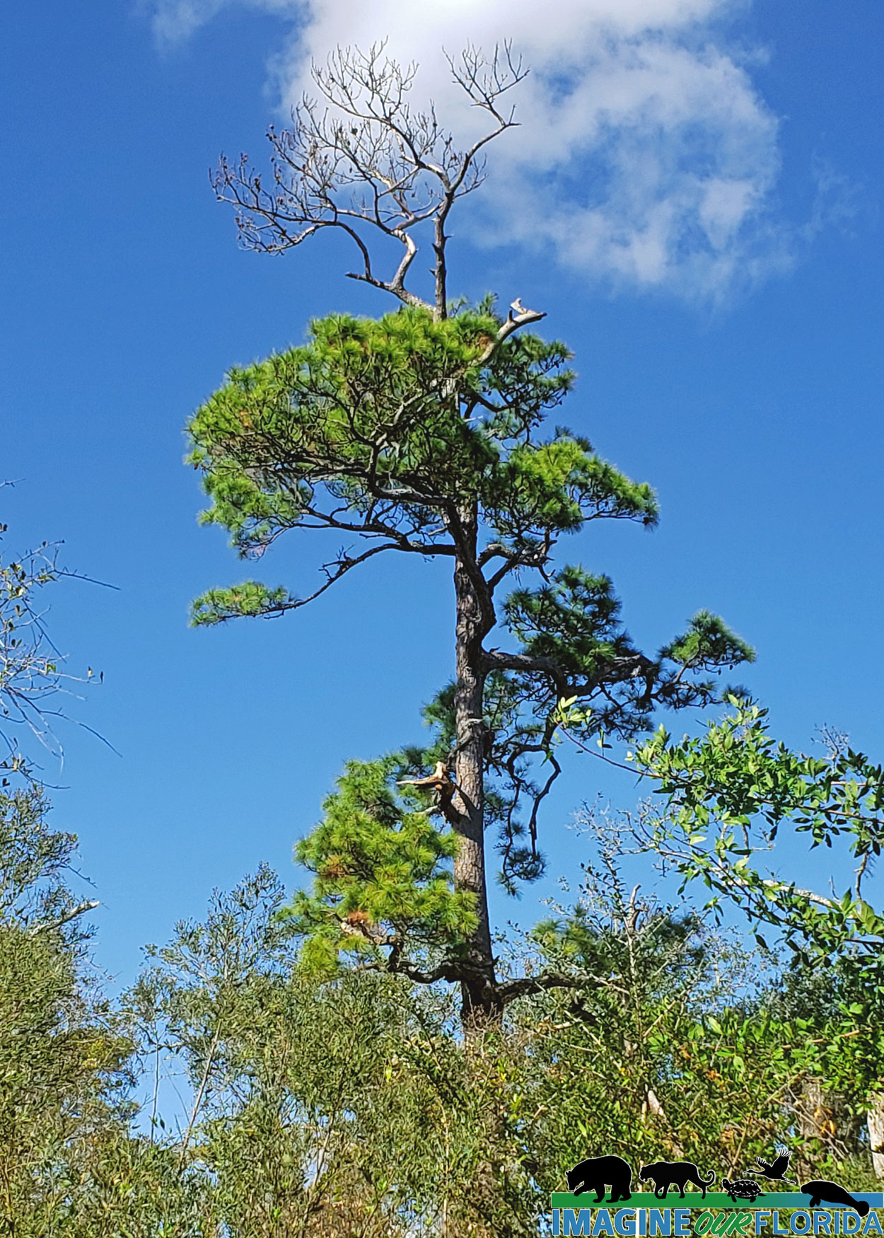
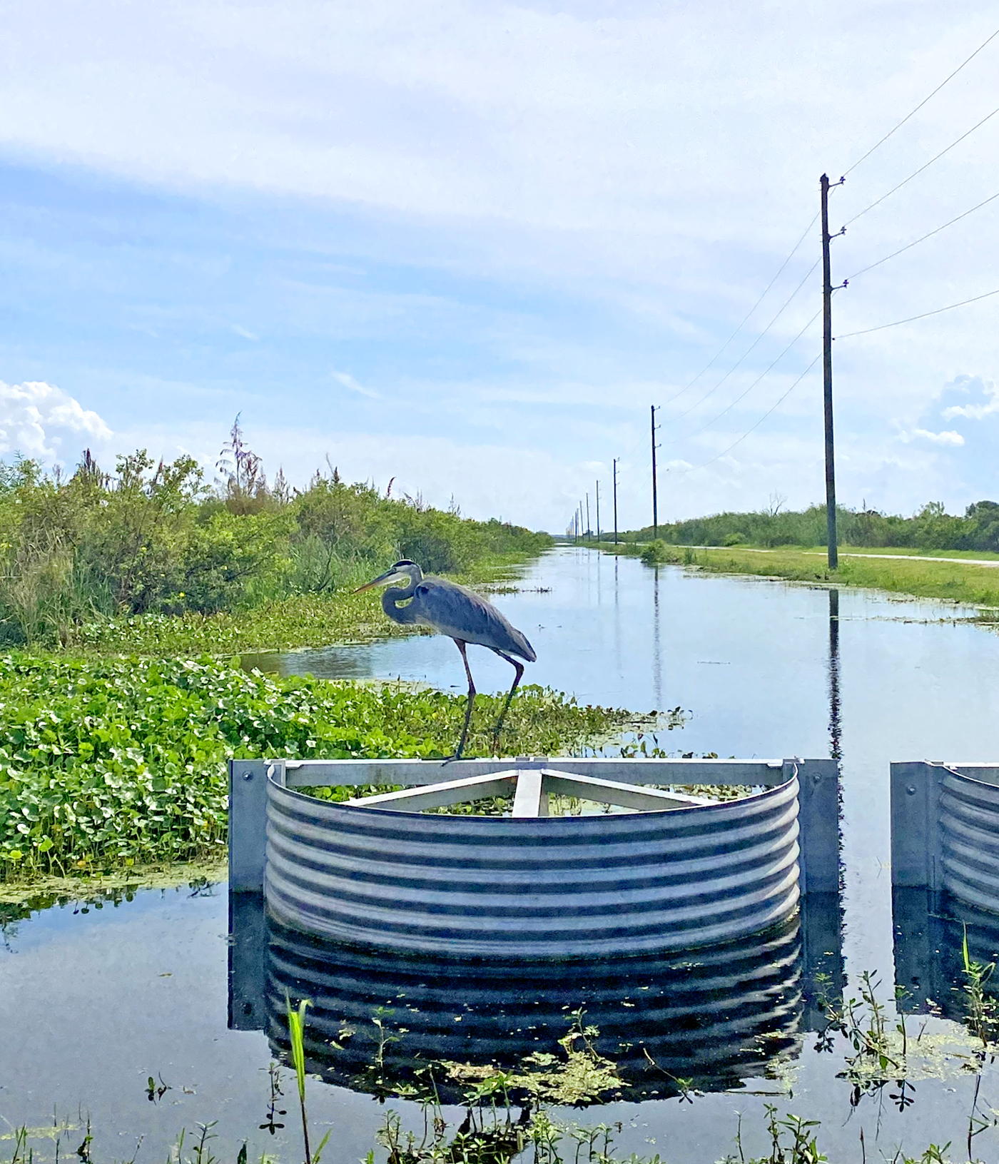
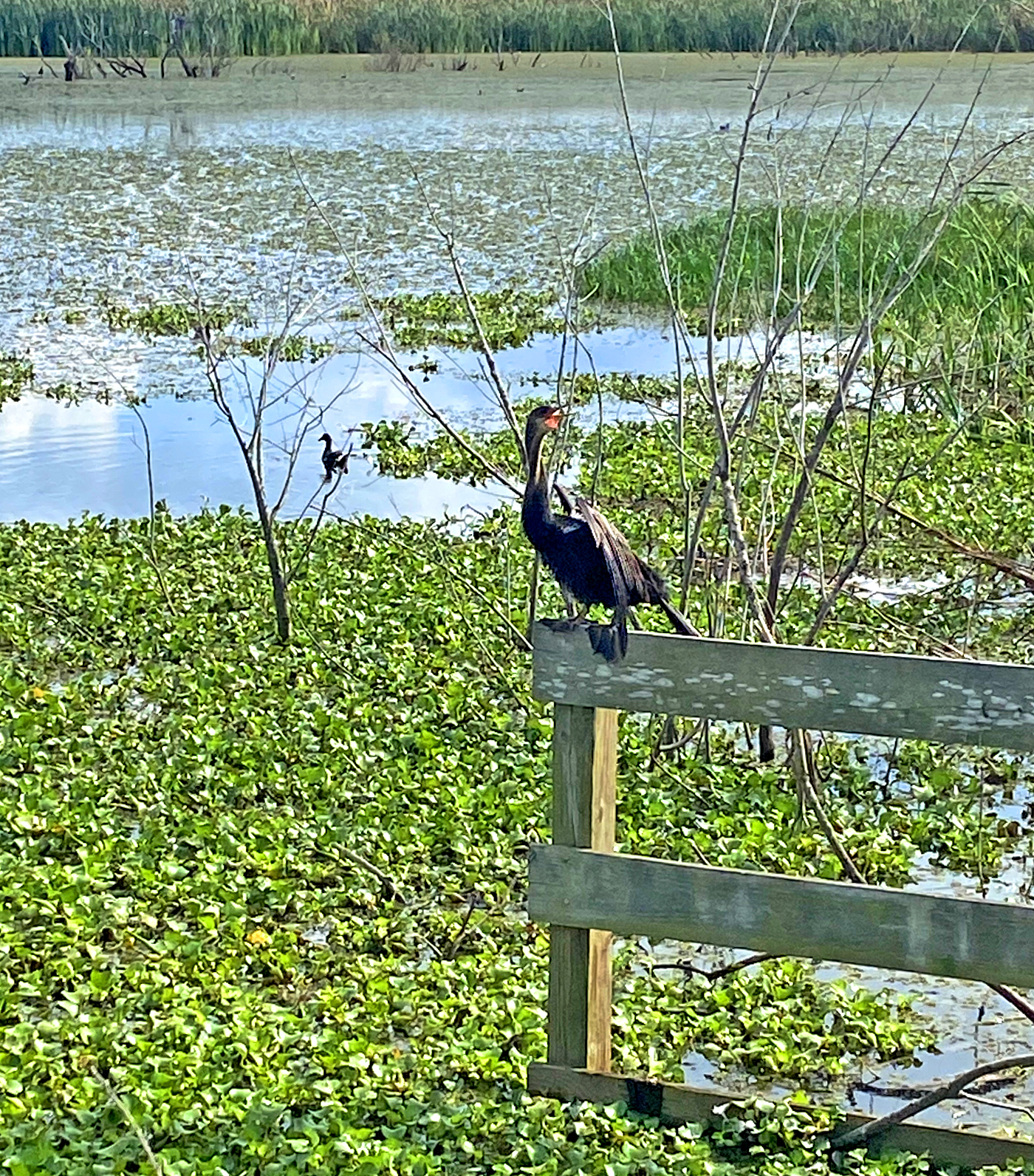
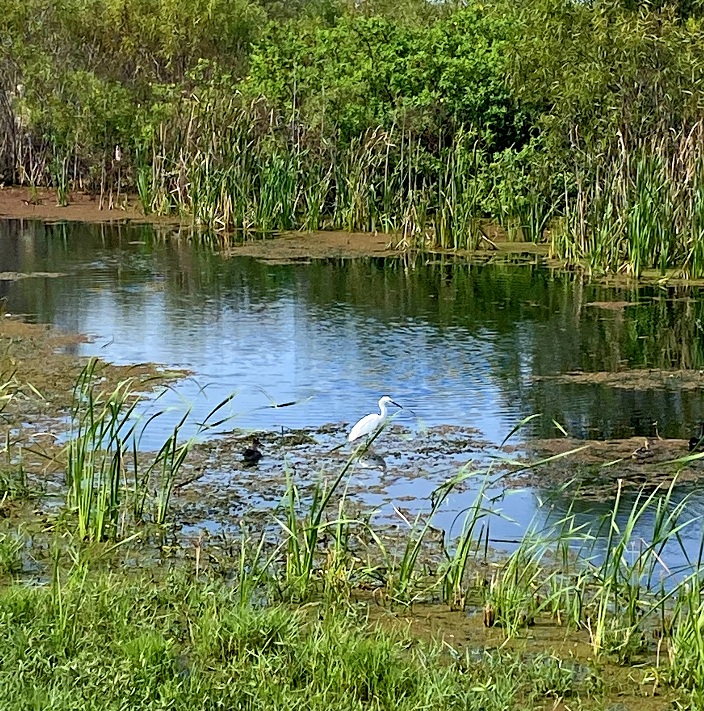
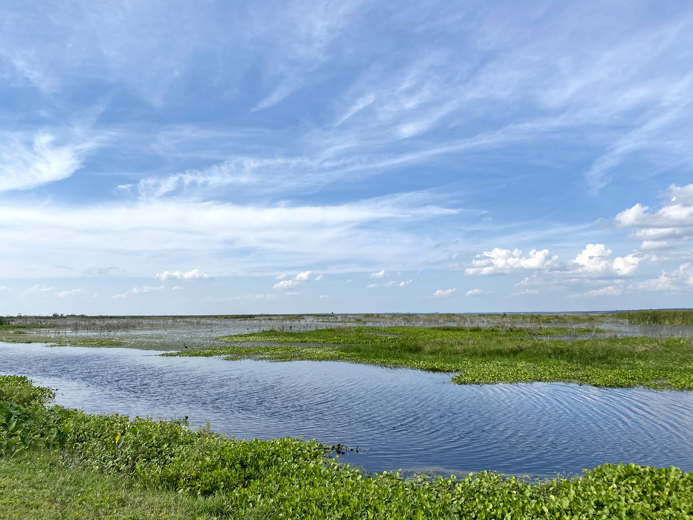
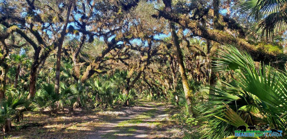
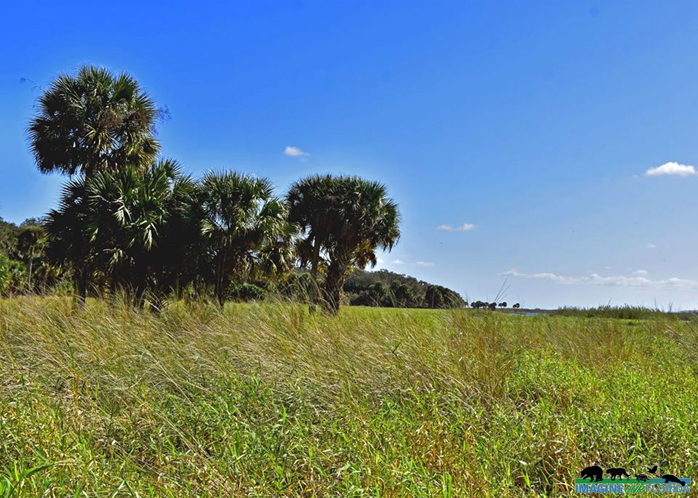
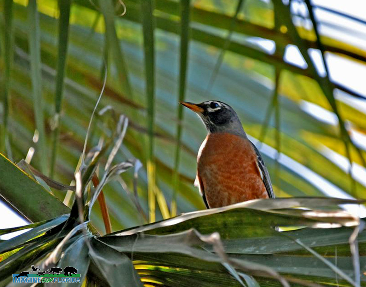
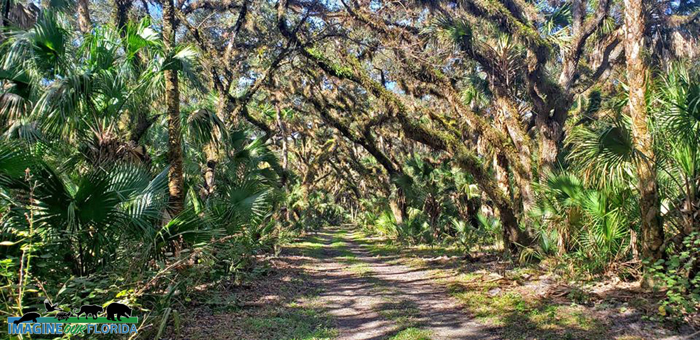
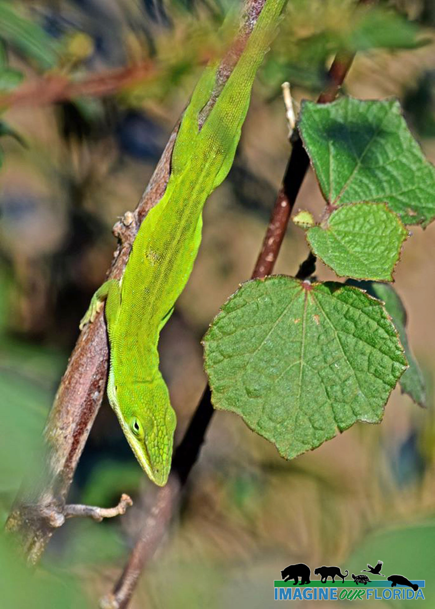
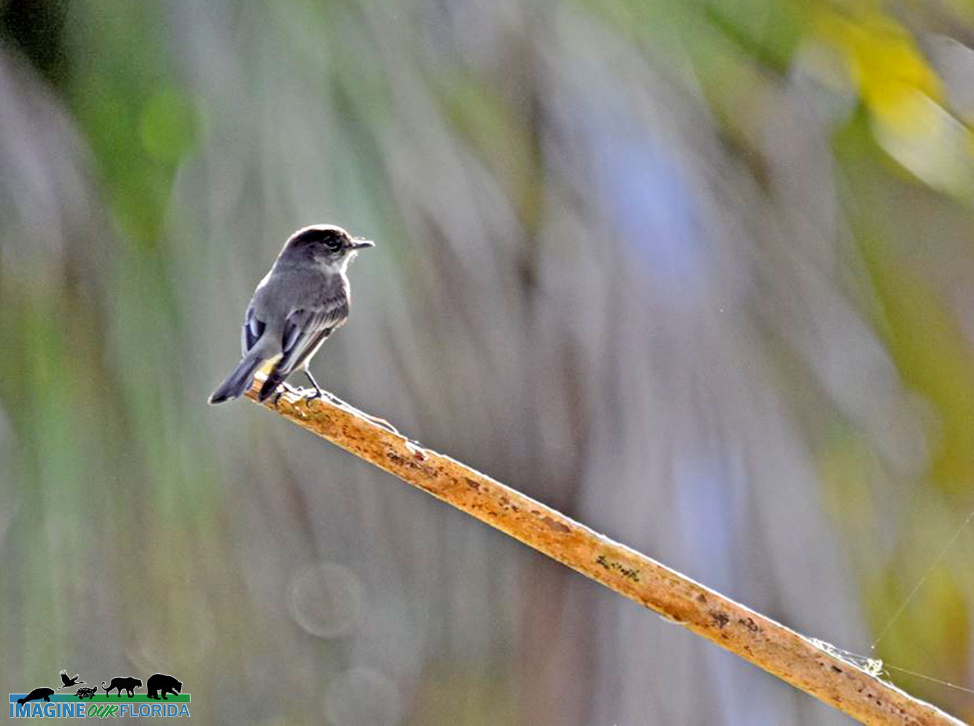
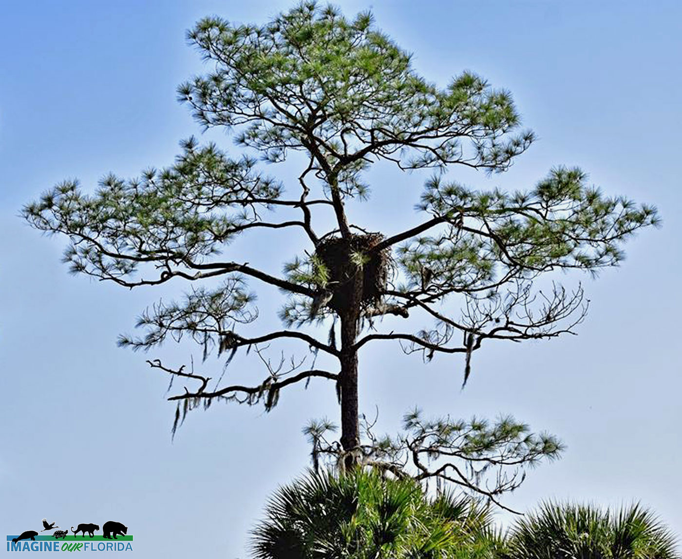
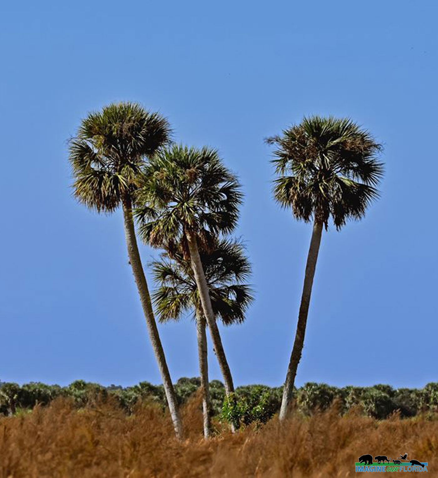
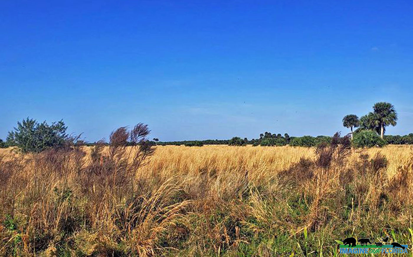
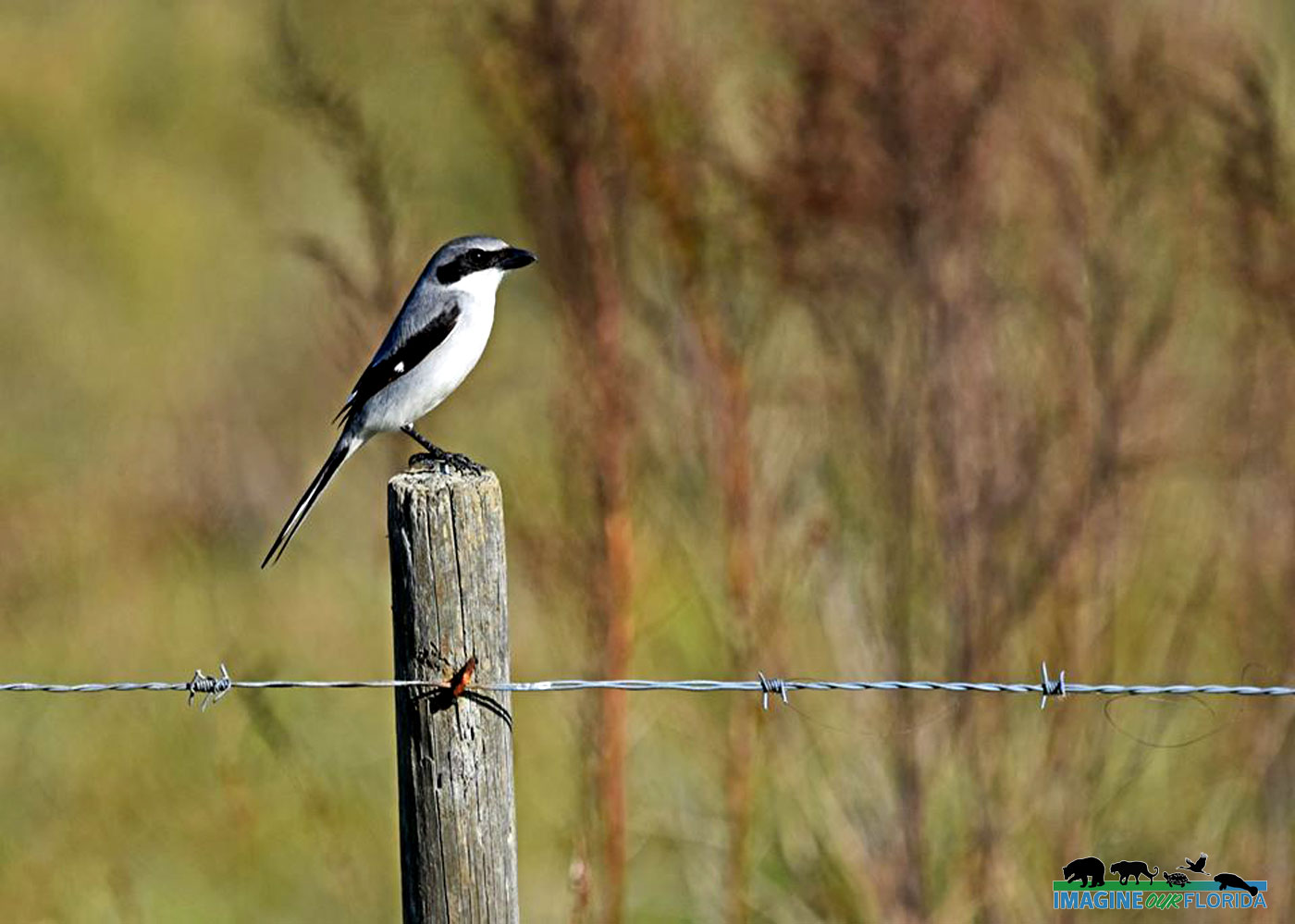
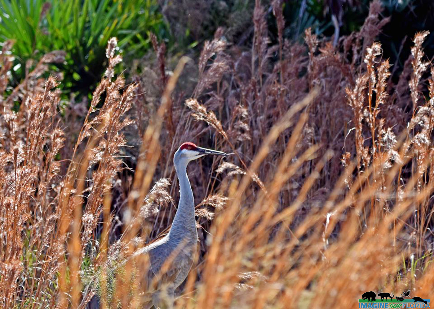
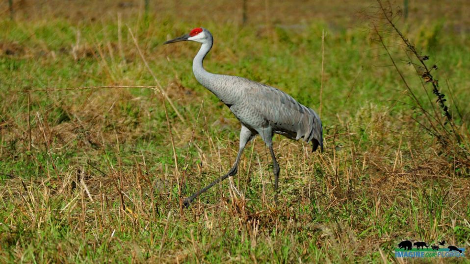
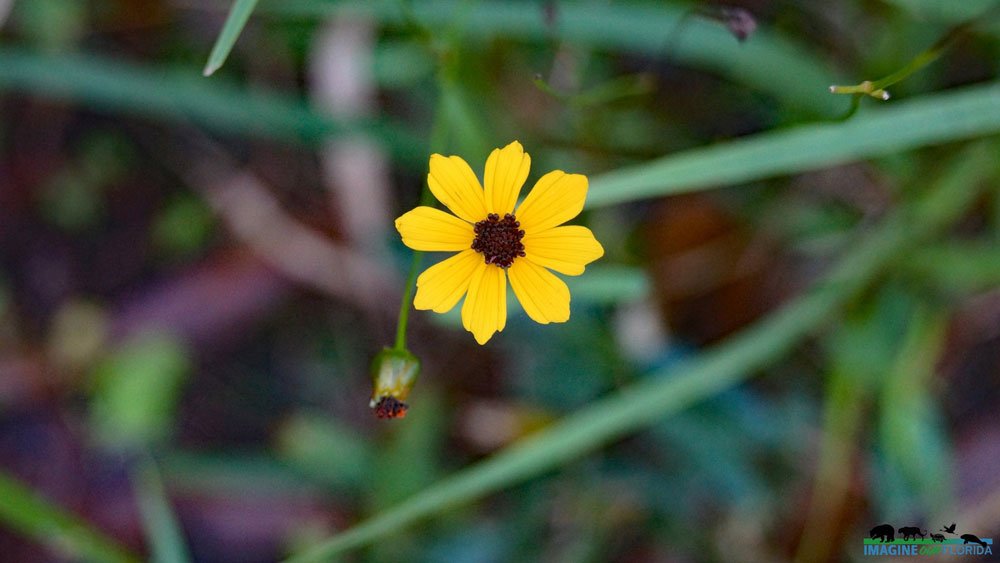
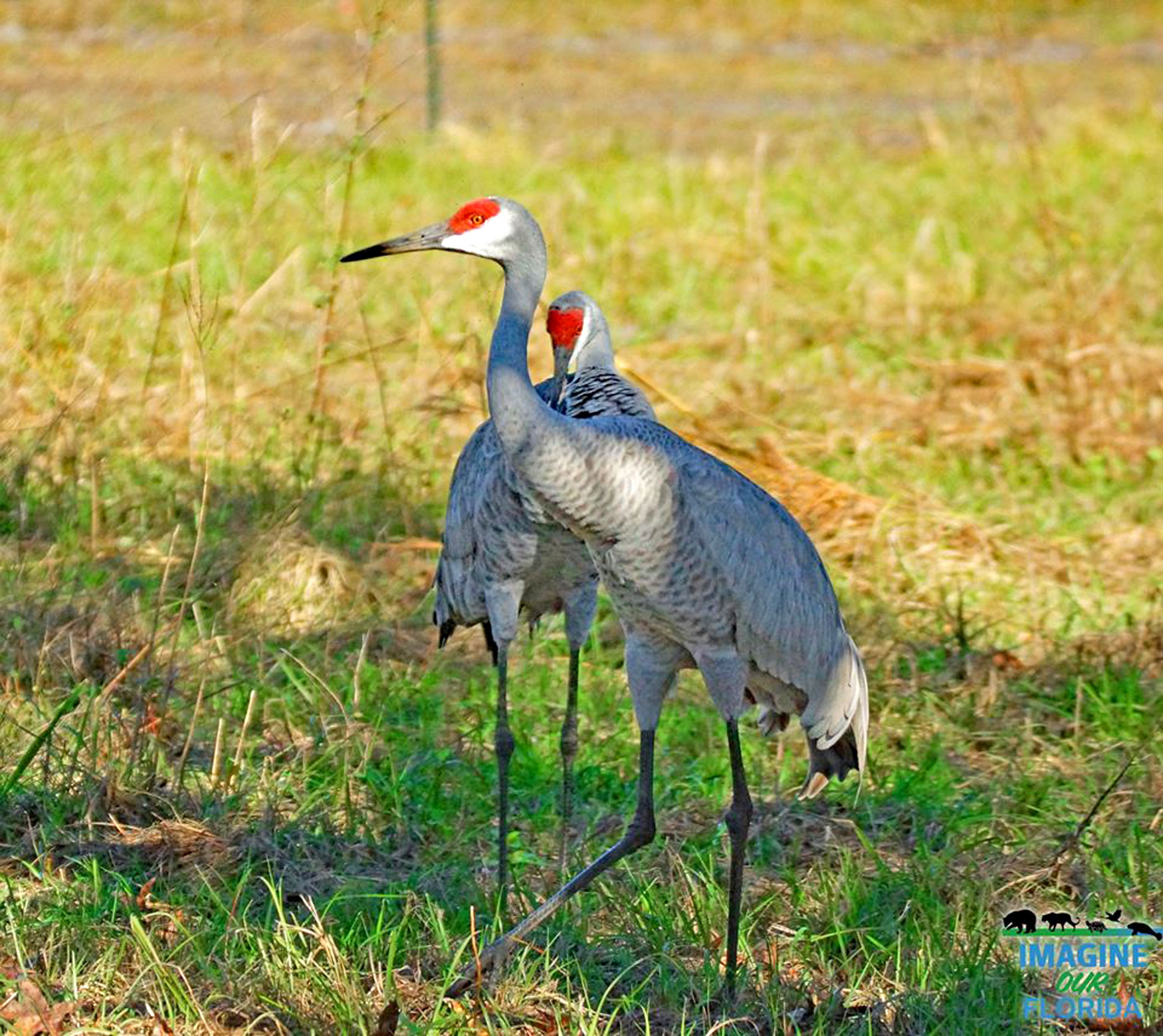
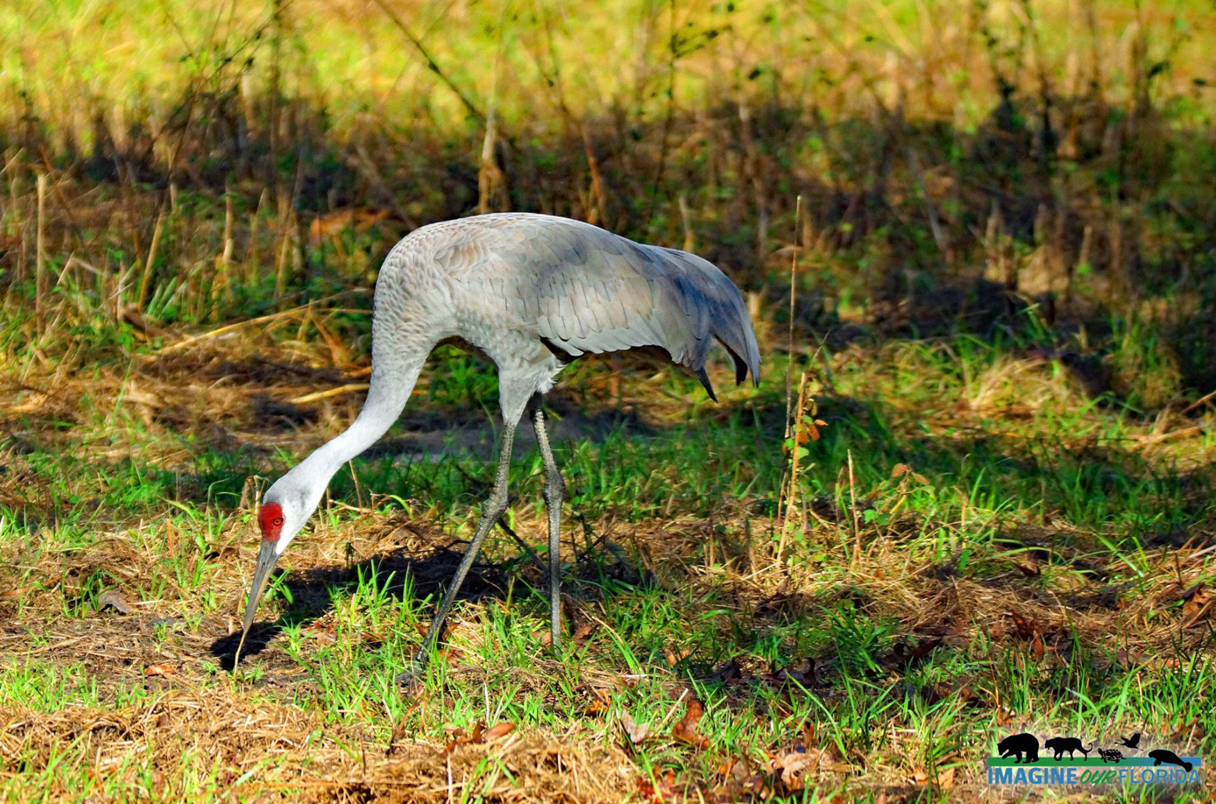
As the habitat is restored, more and more wildlife will also linger in the area. A variety of birds have returned and Lake Apopka now has one of the greatest diversities of bird species in North America. Lake Apopka has a Loop Trail that follows the lake’s edge covering more than 20 miles available for hiking and biking. The North Shore property also has a trail suitable for hiking, biking, and horseback riding on Clay Island, with four observation towers.
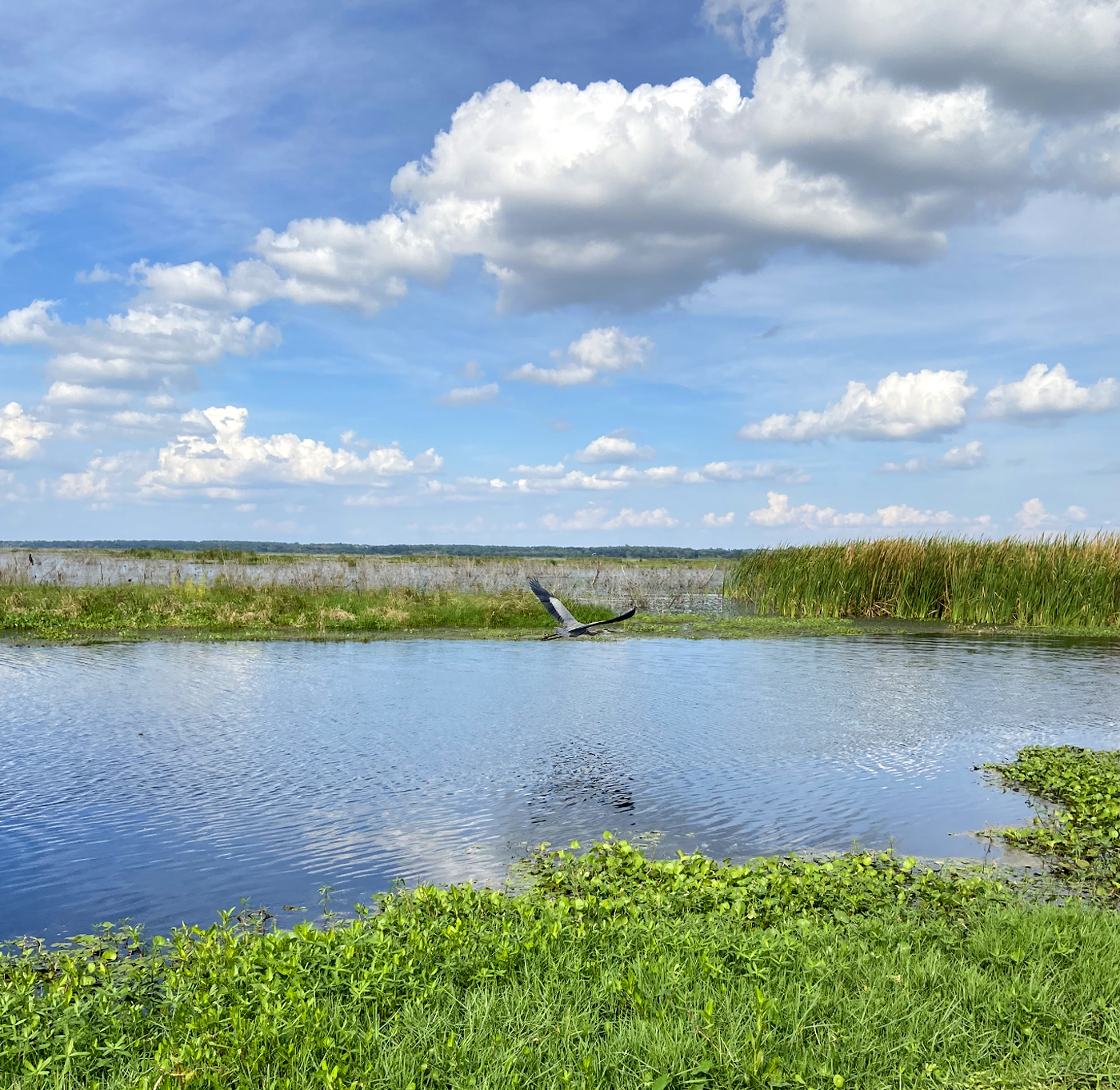
Another special attraction of this property is the Lake Apopka Wildlife Drive. The drive is a one-way, 11-mile drive through the property. During the trip, you can spot different types of animals and plants. It begins at Lust Road and ends on Jones Avenue in Orange County, Florida. Dogs are allowed but must be leashed at all times. Stopping is limited to designated pull-outs provided along the length of the drive. Also, keep in mind that no drinking water is provided in the park.
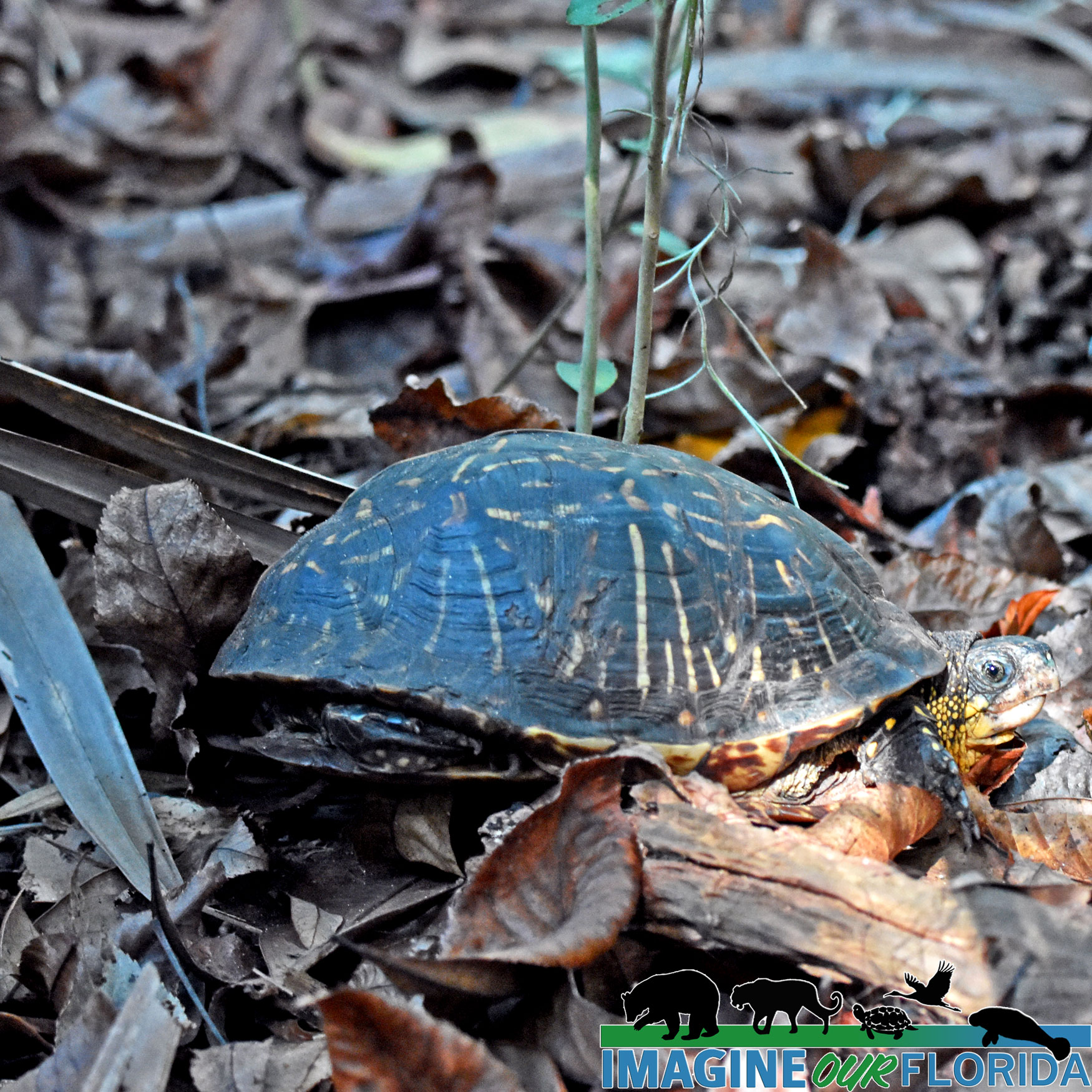
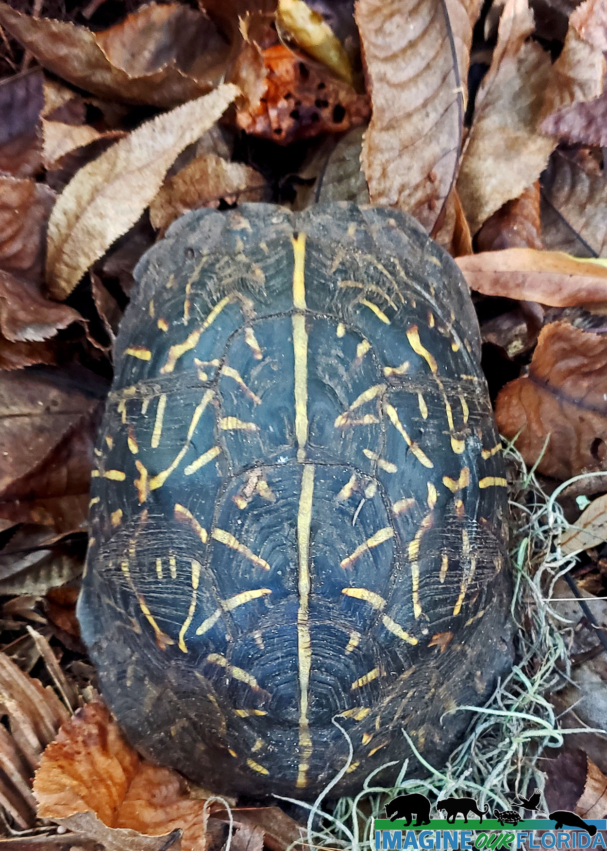
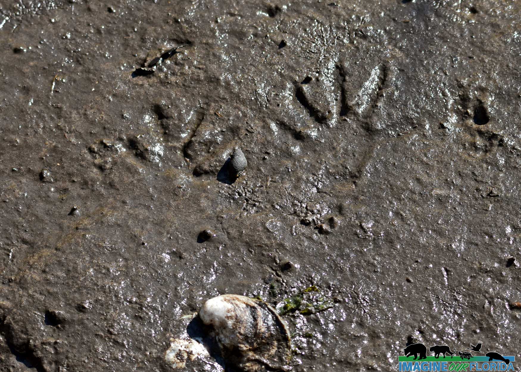
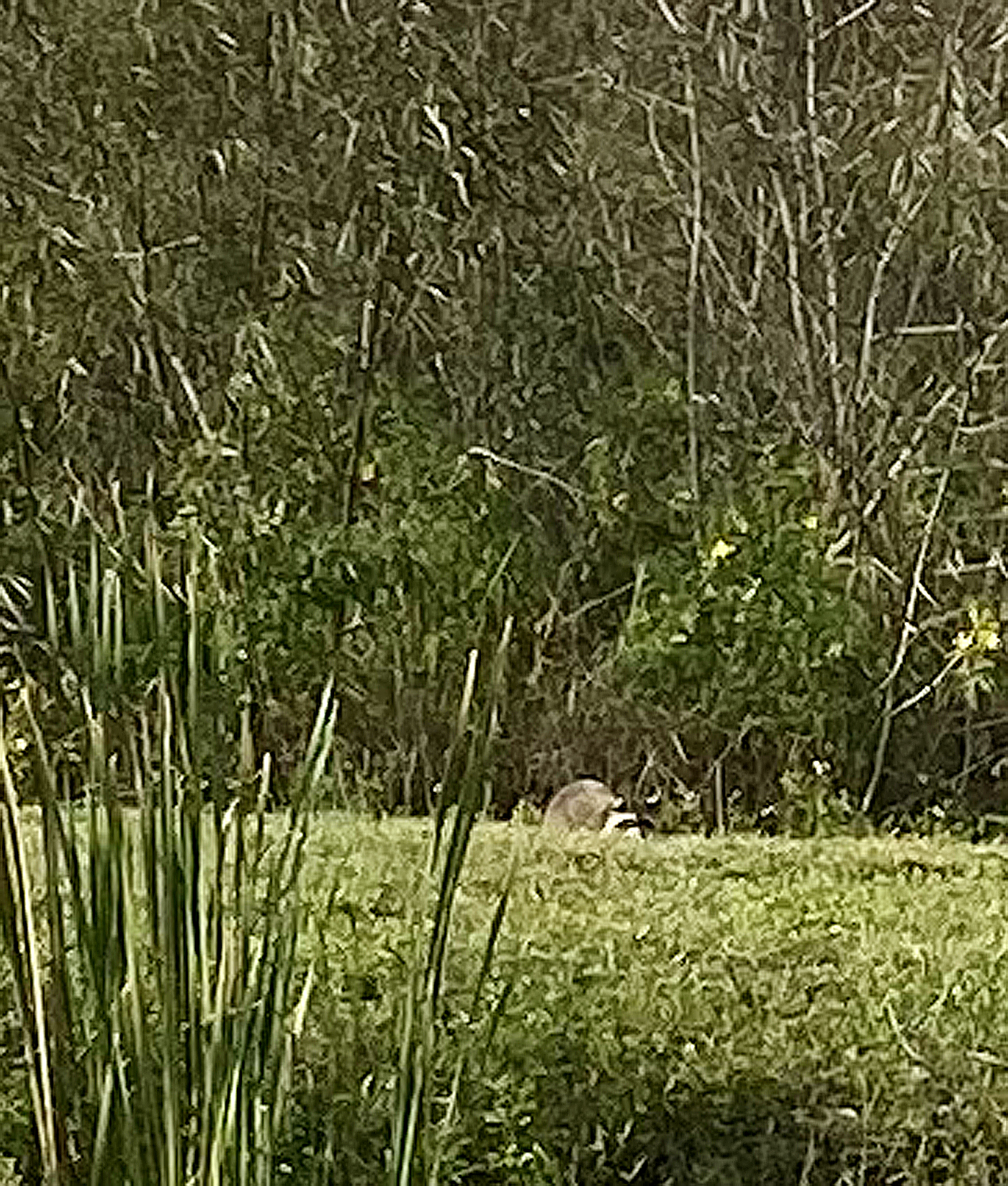
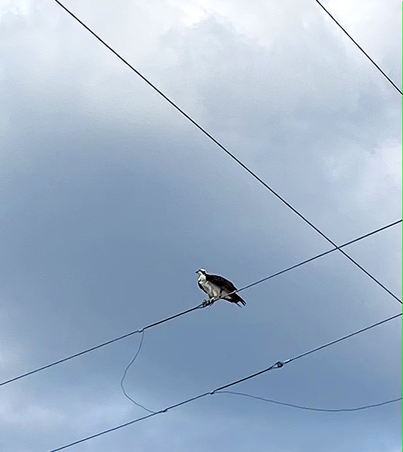
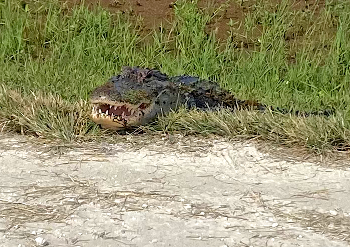
Thanks to the restoration, bobcats, bald eagles, great blue herons, otters, and alligators can be regularly spotted, so visiting Lake Apopka is a great opportunity to get outside, explore, and discover.
Author: Steven Márquez
Photo credit: Steven Marquez
References:
Mangrum, Meghan. “Cautionary Tale: 20 years later, Lake Apopka is a 48-square-mile lesson in the importance of keeping pollution out of Florida’s waters in the first place.” Project Blue Ether.
St. Johns River Water Management District. “Lake Apopka North Shore.” SJRWMD.
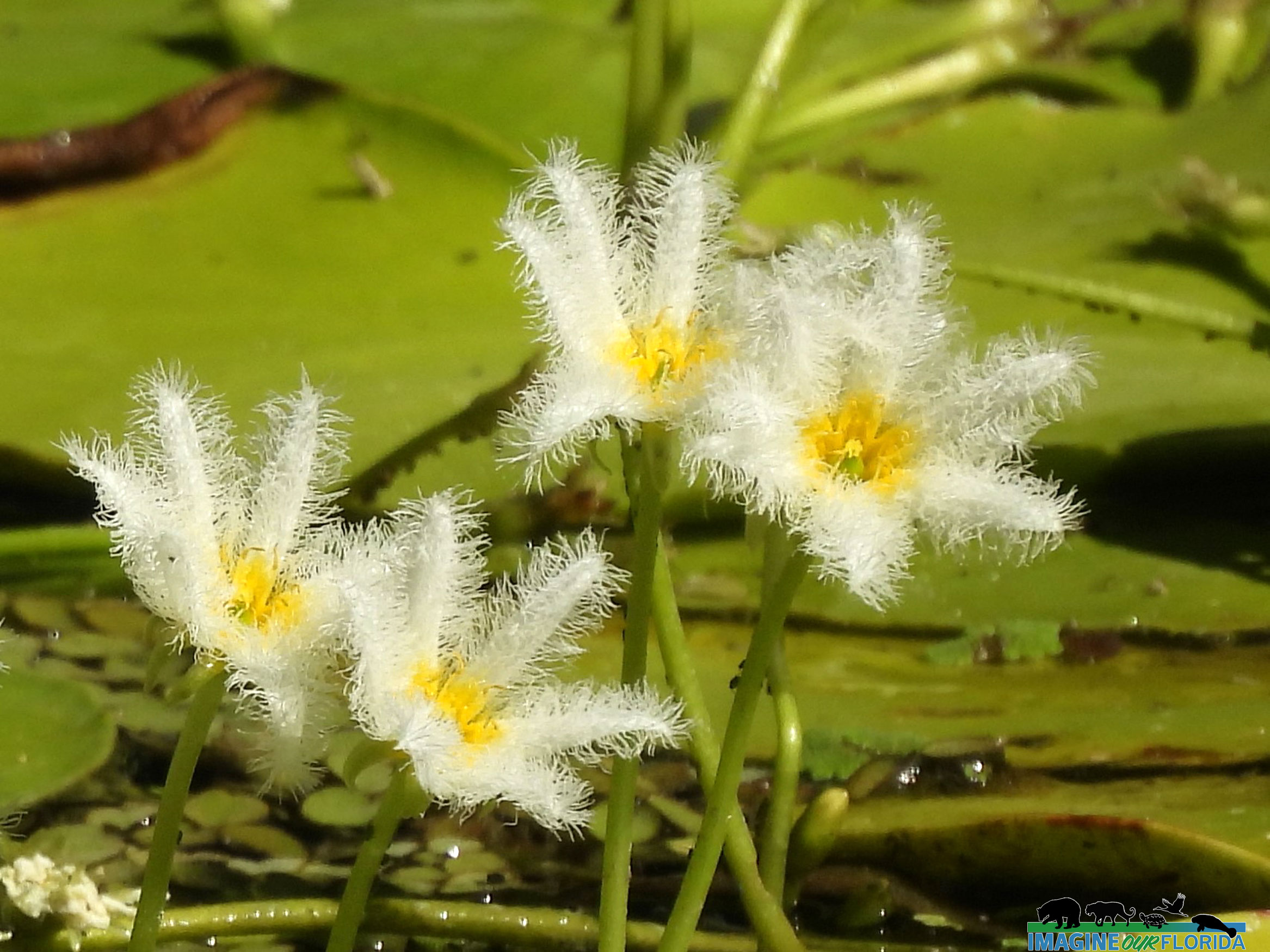
St. Johns River Water Management District. “Aquatic plants tell us Lake Apopka’s water quality is improving.” SJRWMD.
Von Ancken, Erik. “How Lake Apopka went from Florida’s most polluted lake to the most promising.” Click Orlando. 24 August 2018.
WTFV 9. “9 Investigates cost of bringing Lake Apopka back to life.” WTFV. 17 February 2017.
Read more

River Lakes Conservation Area

River Lakes Conservation Area is an Upper St. Johns River Basin Project and is overseen by the St. Johns Water Management District and the U.S. Army Corps of Engineers. Together, the organizations reclaimed drained marshlands, replumbed existing canals, and created new reservoirs. Today, the restored wetland habitat helps control flooding, improves water quality, reduces freshwater discharges to the Indian River Lagoon, and provides a clean water supply to Melbourne.

The restored River Lakes Conservation Area, located 15 minutes west of the Viera, delights outdoor enthusiasts. Hike, bike, bird watch, discover wildlife, or launch your boat or paddleboard. The area includes 3 lakes: Winder Lake, Poinsett Lake, and Washington Lake. Picnic pavilions and restrooms are provided at Washington Lake. There are 3 boat ramps on the property. Primitive camping sites and shelters are available for those who want to spend the night or a week.

Explore the 7 miles of trails through hardwood and palm hammocks, open vistas, and grasslands. Wildflowers, wood storks, bald eagles, sandhill cranes, and river otters are residents at River Lakes Conservation Area. Dogs are welcome and must be on a leash.

For more information: https://www.sjrwmd.com/lands/recreation/river-lakes/

Photo Credit: Andy Waldo

Read more

Old Fort King Trail

Old King Fort Trail is an out-and-back trail and is about 10 miles long. It begins at John B. Sargeant Park in Thonotosassa and ends in Hillsborough River State Park. The first part of the trail is approximately 2 miles long and is paved. Once the trail crosses US 301, it becomes an unimproved path with some rough terrain. In some places, it may be muddy or even flooded after heavy rains.

Whether walking, running, hiking, biking, horseback riding, or walking your dogs on a leash, you are sure to be greeted by plenty of beautiful wildflowers along the trail. Take some pictures on the wooden bridge. Keep your eyes open for wildlife who cross your path and spend some time birdwatching.

Photo Credit: Aymee Laurain

Read more